Flattop Mountain (12,332′), Front Range
Flattop Mountain is located just east of the Continental Divide in Rocky Mountain National Park. The trail was built in 1925, and rehabilitated in 1940 with Civilian Conservation Corps labor. Today it is listed on the National Register of Historic Places.
The scenic trail has overlooks for Dream and Emerald Lake, and unmatched views of the Longs Peak area to the south. The trail is also used to to reach the summit of Hallett Peak.
Trail Stats
- Trailhead: Bear Lake
- Round trip: 8.6 miles / 13.8 km
- Elevation: 9,475′ – 12,332′ / 2,888 m – 3,759 m
- County: Larimer
- Agency: National Park Service
- Nat’l Park: Rocky Mountain

Trail Pictures
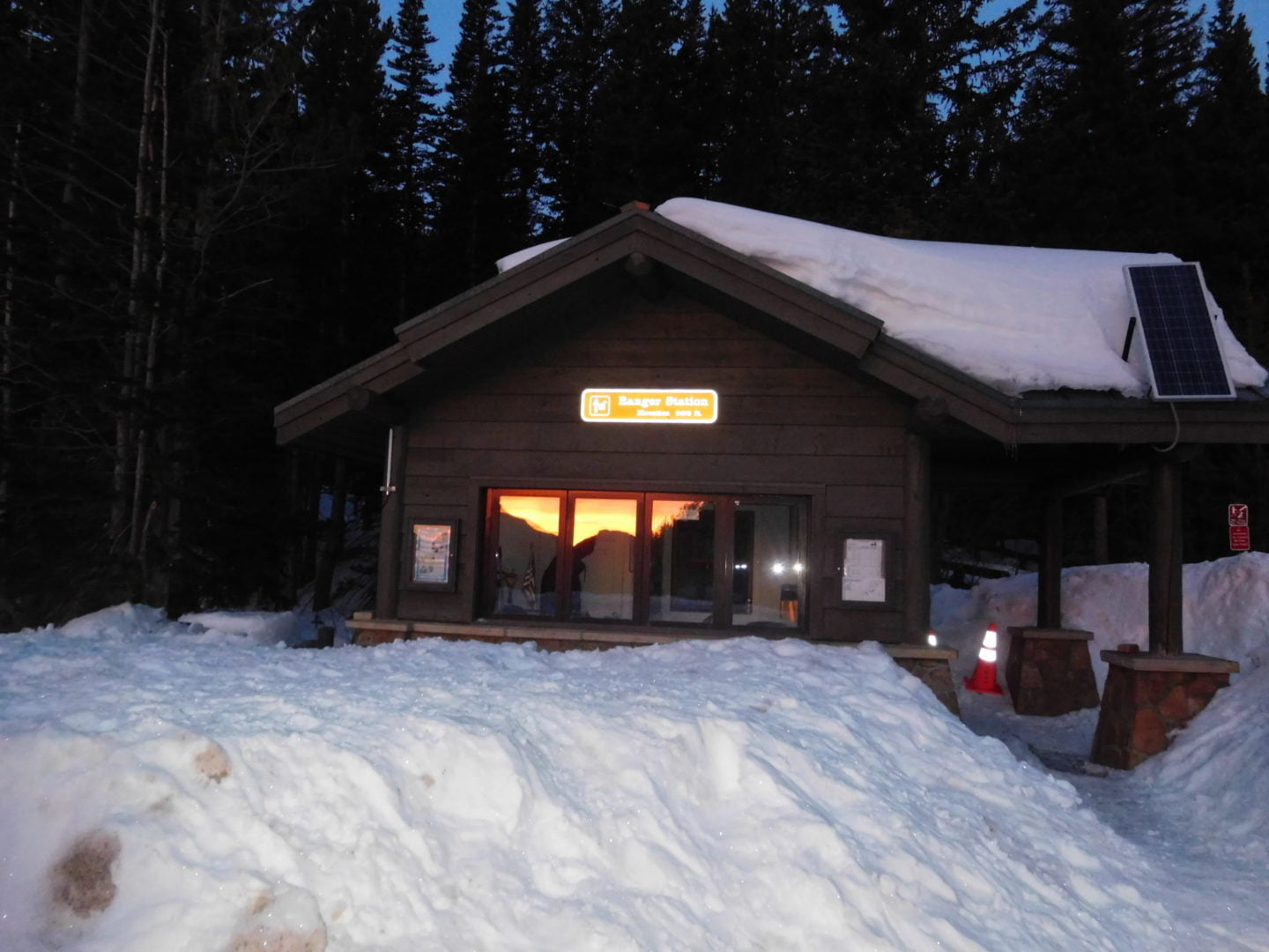
Bear Lake ranger station
Bear Lake ranger station
Heading back
Heading back
View of Dream Lake
View of Dream Lake
Shortcut down
Shortcut down
A few hikers on Emerald Lake
A few hikers on Emerald Lake
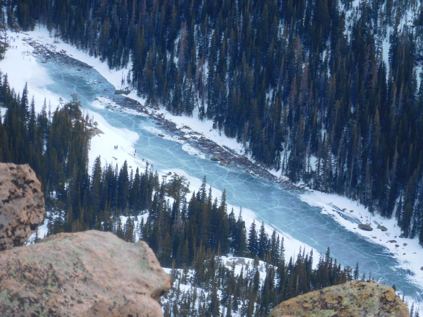
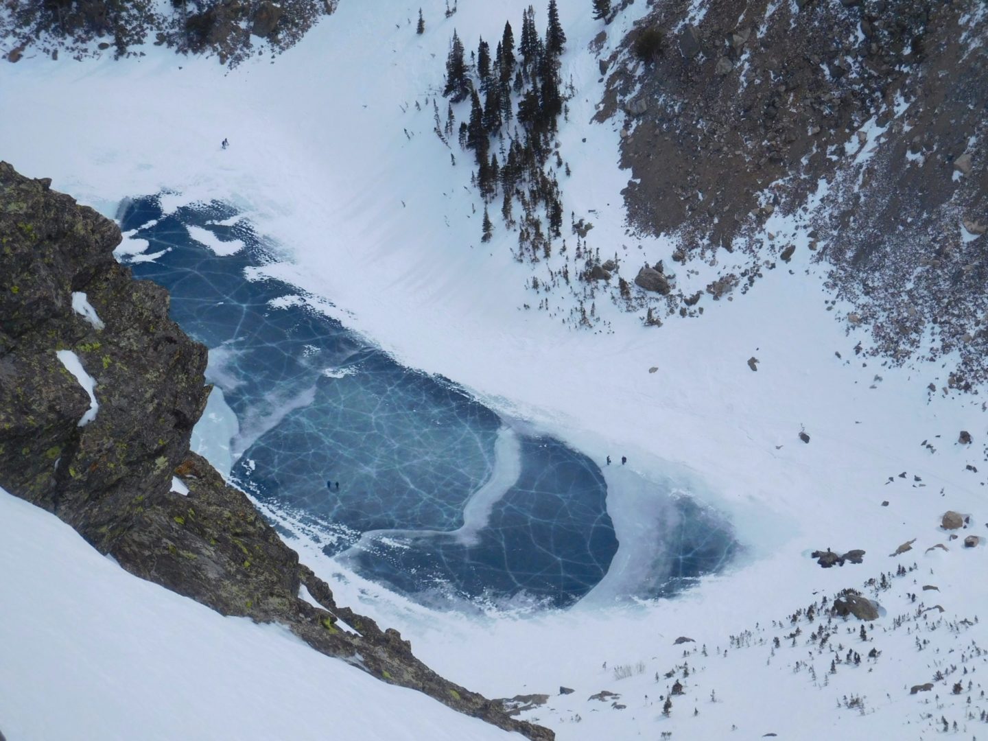
View of Emerald Lake
View of Emerald Lake
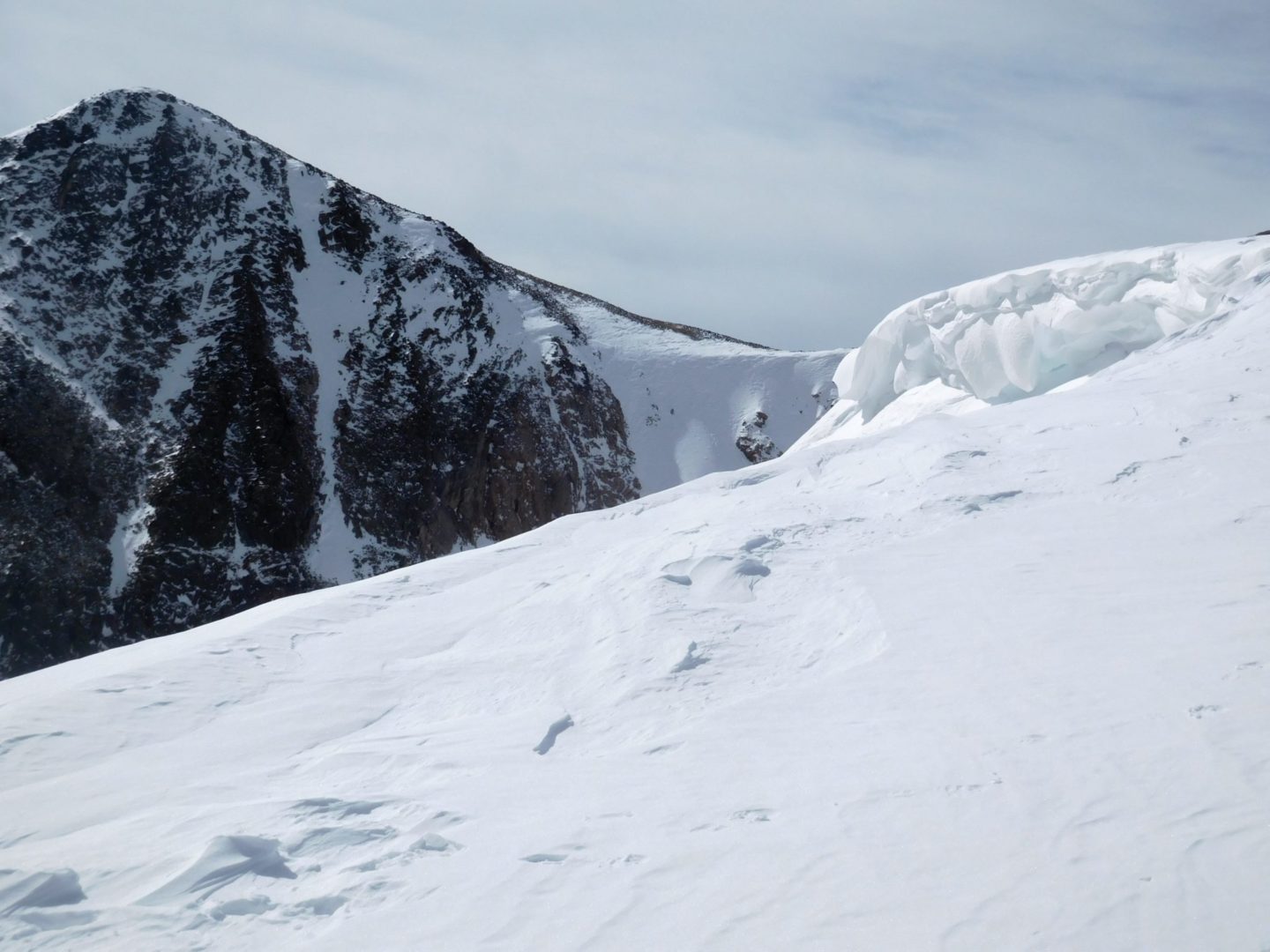
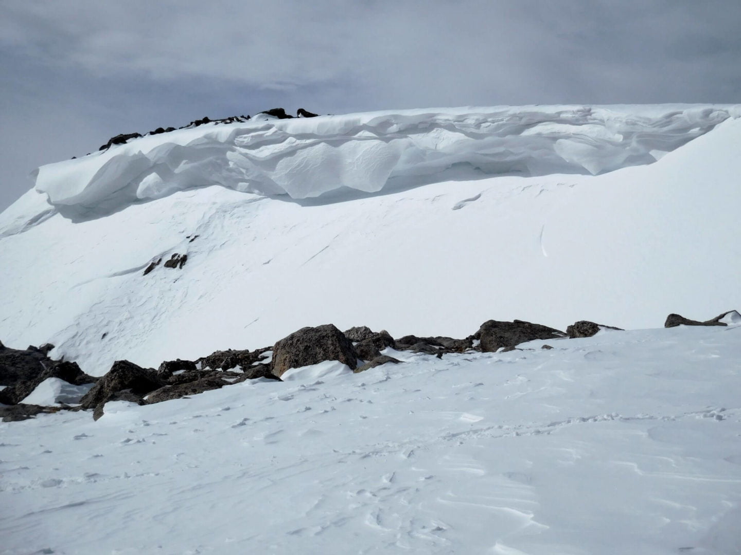
View near the summit
View near the summit
Flattop Mountain
Flattop Mountain
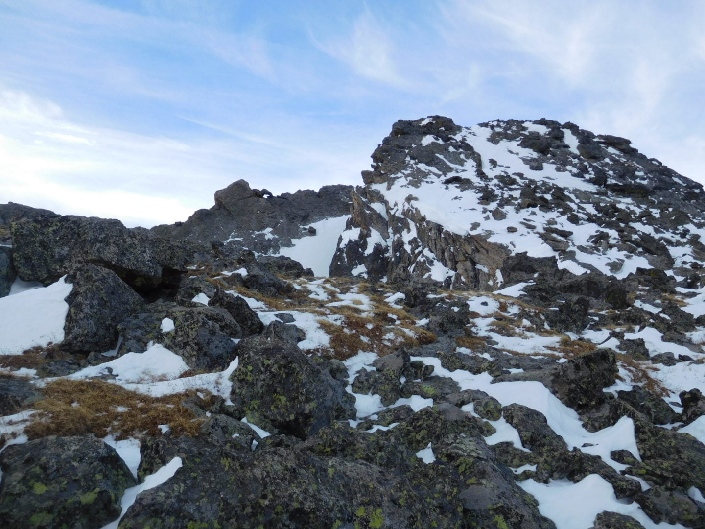
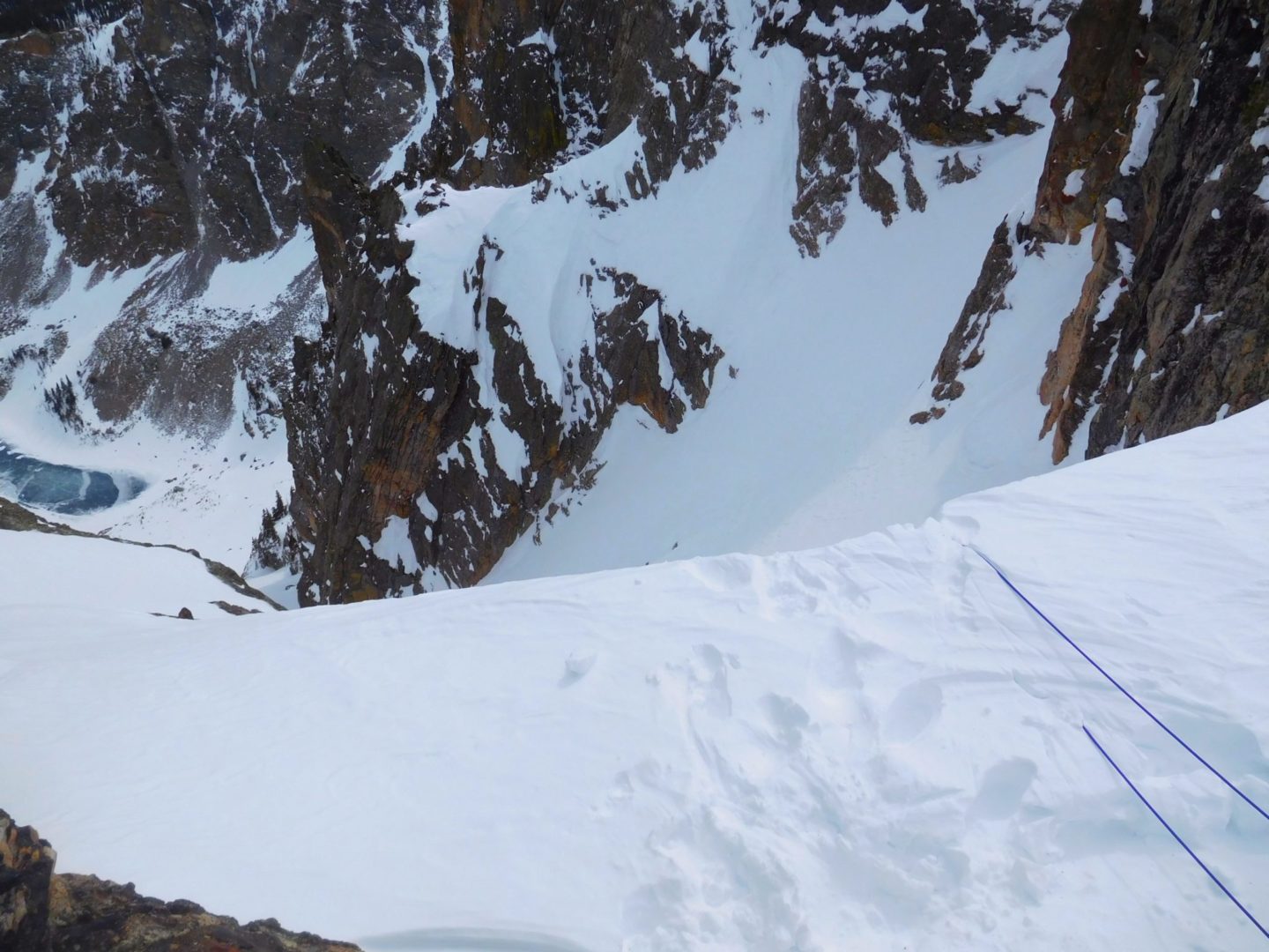
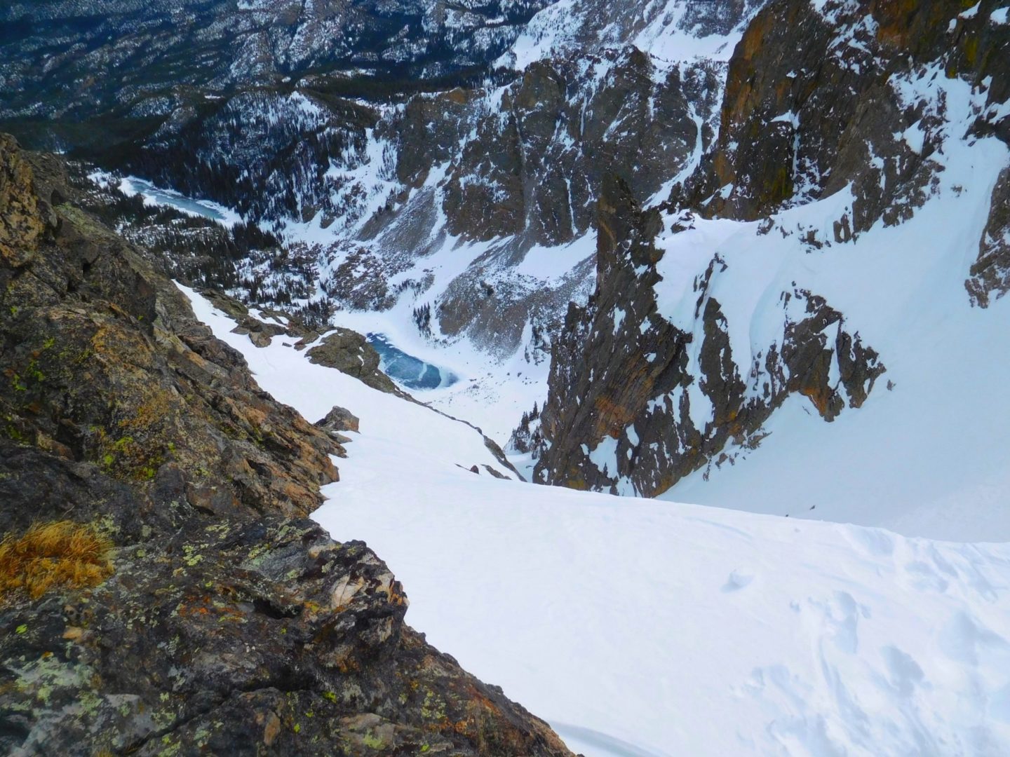
Jagged near the valley edge
Jagged near the valley edge
View to the north
View to the north
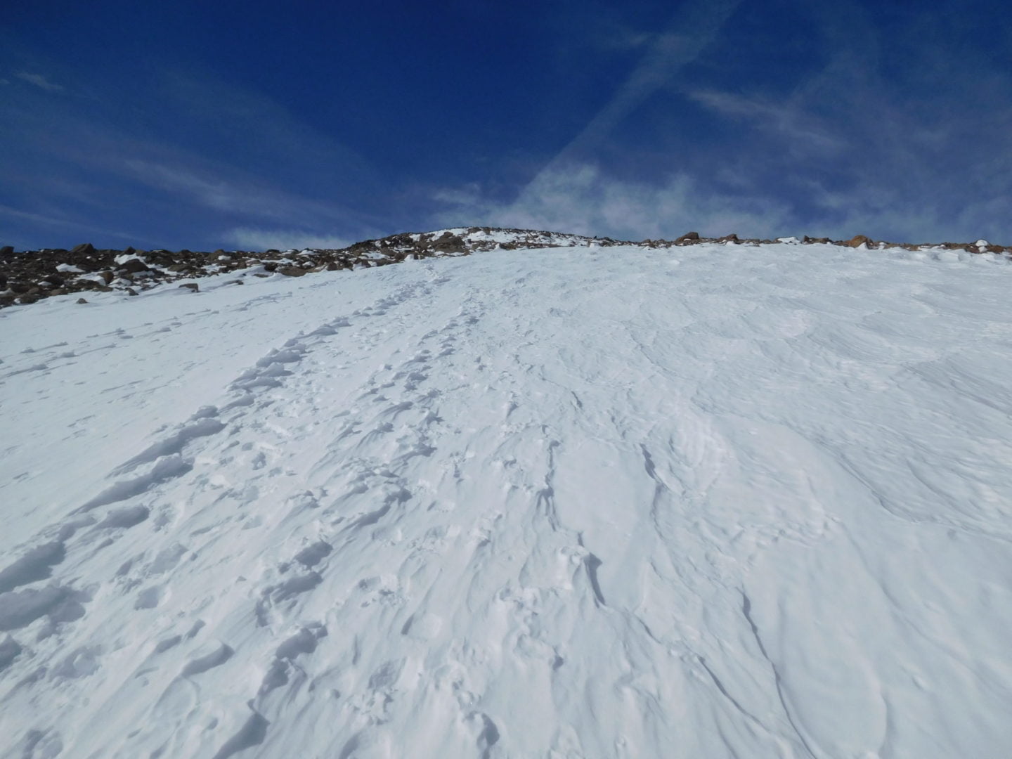
The Flattop Mountain trail
The Flattop Mountain trail
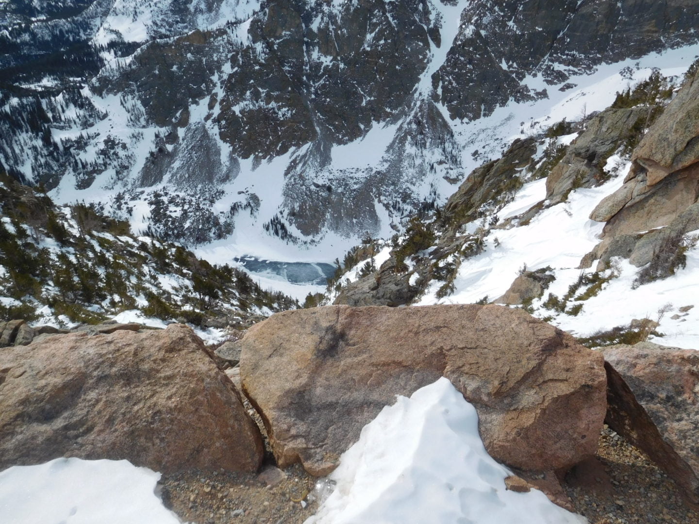
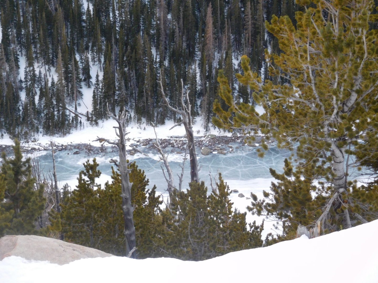
Emerald Lake below
Emerald Lake below
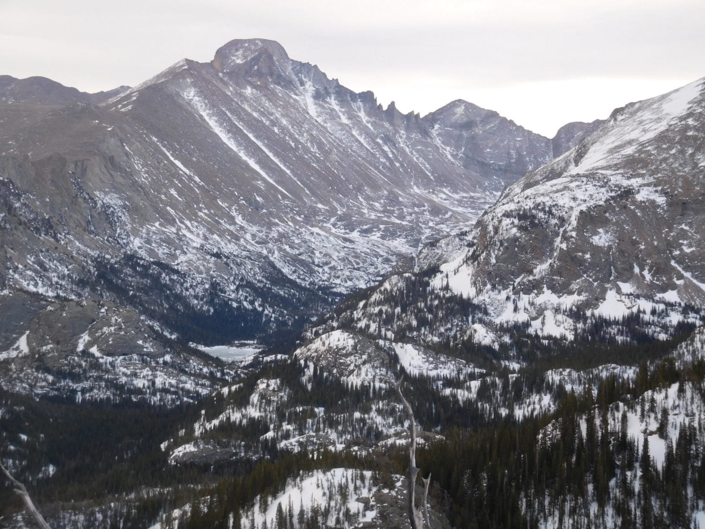
Longs Peak view
Longs Peak view
Dream Lake
Dream Lake

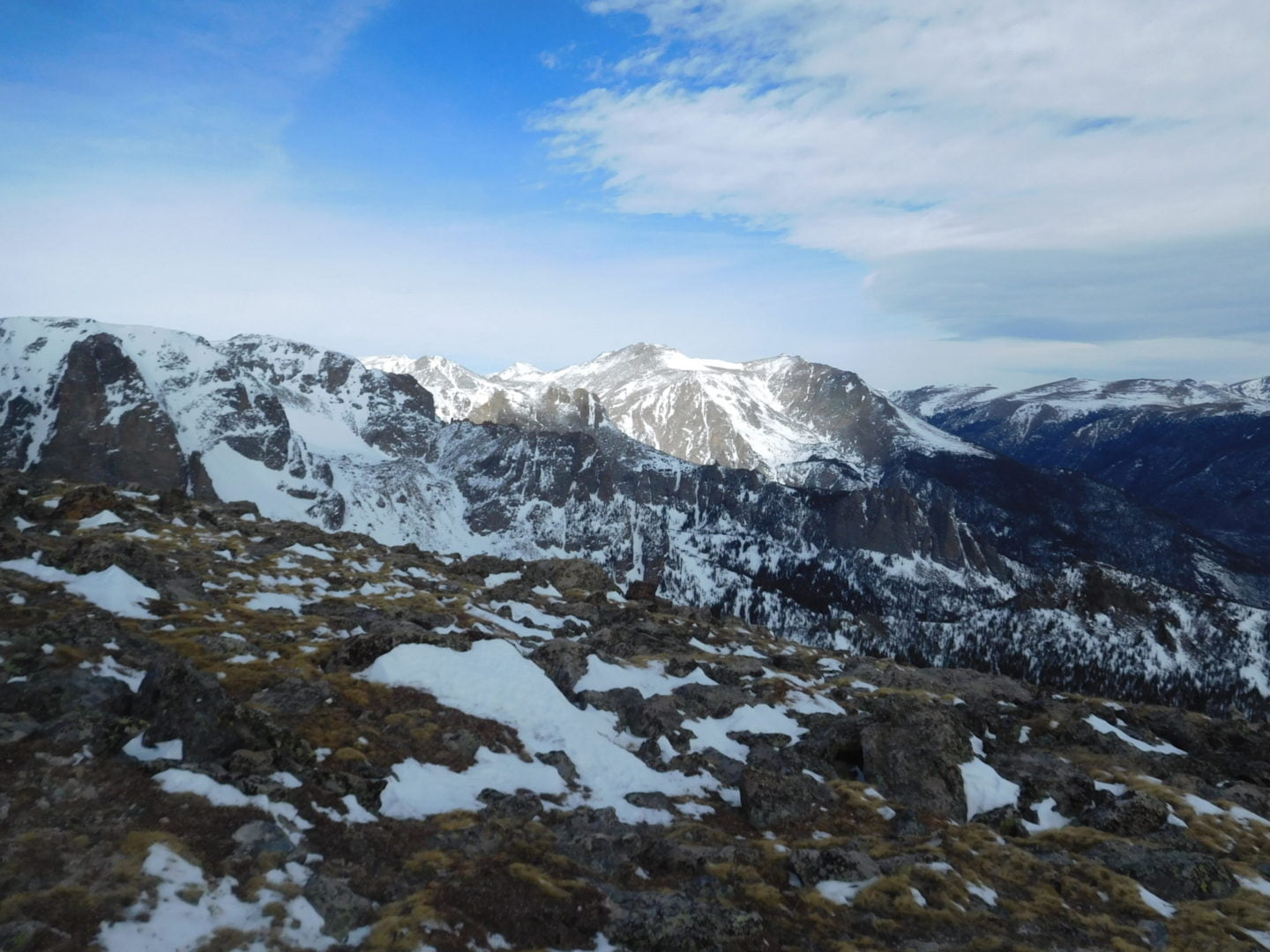
Longs Peak (left) and Thatchtop Mountain on the right
Longs Peak (left) and Thatchtop Mountain on the right
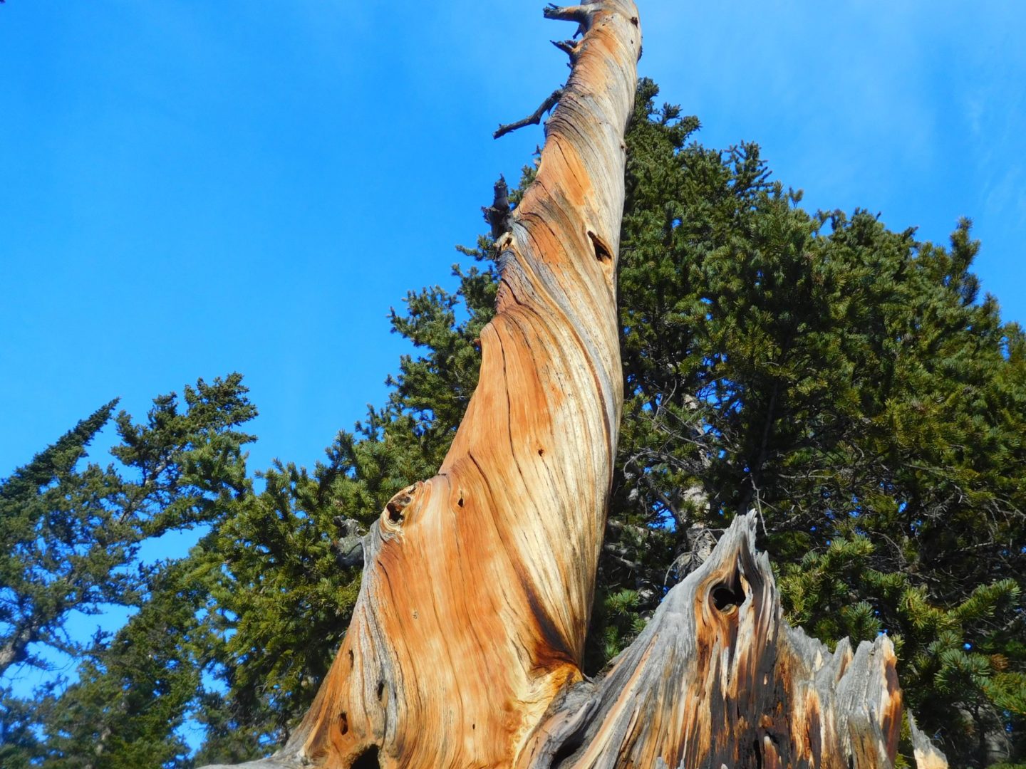
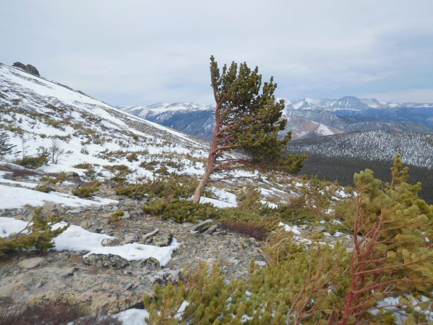
The twist in the trunk provides extra strength from the wind
The twist in the trunk provides extra strength from the wind
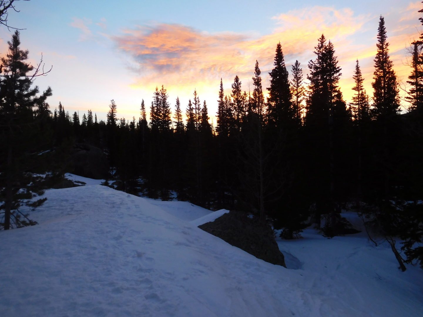
Early morning
Early morning

Bear Lake and Hallett Peak
Bear Lake and Hallett Peak
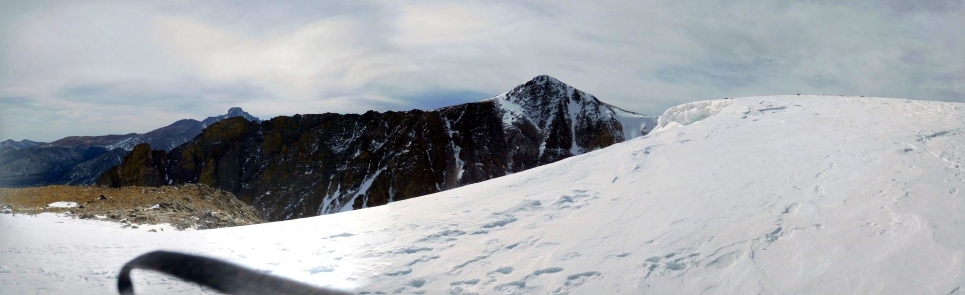
Hallet Peak and Flattop Mountain
Hallet Peak and Flattop Mountain
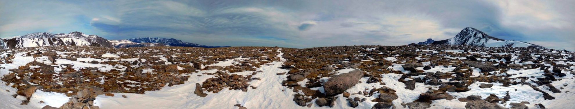
Flattop Mountain summit – as advertised
Flattop Mountain summit – as advertised
GPS Route with Elevation
Video Tour
Trail Directions
From the trailhead immediately make a right turn onto the Bear Lake Loop Trail. After a short walk along the eastern shore of Bear Lake, make another right turn at the next junction. From here the trail ascends the slopes of the Bierstadt Moraine.
About .5 miles from the trailhead you’ll reach the Bierstadt Lake and Mill Creek Basin junction. Turn left and continue towards Flattop Mountain. The route turns west as it climbs higher and you’ll enjoy spectacular views of Longs Peak, the Keyboard of the Winds, Pagoda Peak and Chiefs Head Peak towards the south. At just over 1 mile from the trailhead you will arrive at the Flattop Mountain Trail junction, which forks off to the left and begins ascending the eastern slopes of the mountain.
Once on the Flattop Mountain trail, the climb becomes steeper for the rest of the route. About 1.5 miles from the trailhead (~10,500 feet) you will reach the Dream Lake Overlook. Once leaving the Dream Lake overlook it’s a short hike to tree-line. Looking towards the east are views of Bierstadt Lake, Sprague Lake and much of the Glacier Basin area.
After about 3 miles from the trailhead you’ll reach the Emerald Lake Overlook. This scenic overlook rises more than 1,200′ above Emerald Lake. Continue on for less than a mile and you will be just below the summit of Flattop Mountain where there is a horse hitch. The slope begins to become more gradual and eventually leveling out. The end of the Flattop Mountain Trail is at the junction with the North Inlet Trail and Tonahutu Creek Trail. Although there are no signs indicating that you’re at the top, this is the unofficial summit of Flattop Mountain.
Trailhead Directions