
Cheyenne Mountain (9,565′), Front Range
Cheyenne Mountain (9,565′), Front Range
Cheyenne Mountain’s is a triple peak mountain with the geological summit on the southwestern portion of the mountain. In 2017 there were no trails to the summit, so it was necessary to navigate most of the way without a trail through the Pike National Forest. In late 2018, Cheyenne Mountain State Park completed the Talon/Dixon 15.6 mile trail to the summit.
Pikes Peak, Almagre Mountain, and Mt Rosa are nearby neighbors that are also worth a visit while in the area.
Trail Stats
- Trailhead: None
- Round trip: 3.6 miles / 5.8 km
- Elevation:8,454′-9,565′ / 2,577m – 2,915m
- County: El Paso
- Agency: Colorado Parks & Wildlife

Trail Pictures
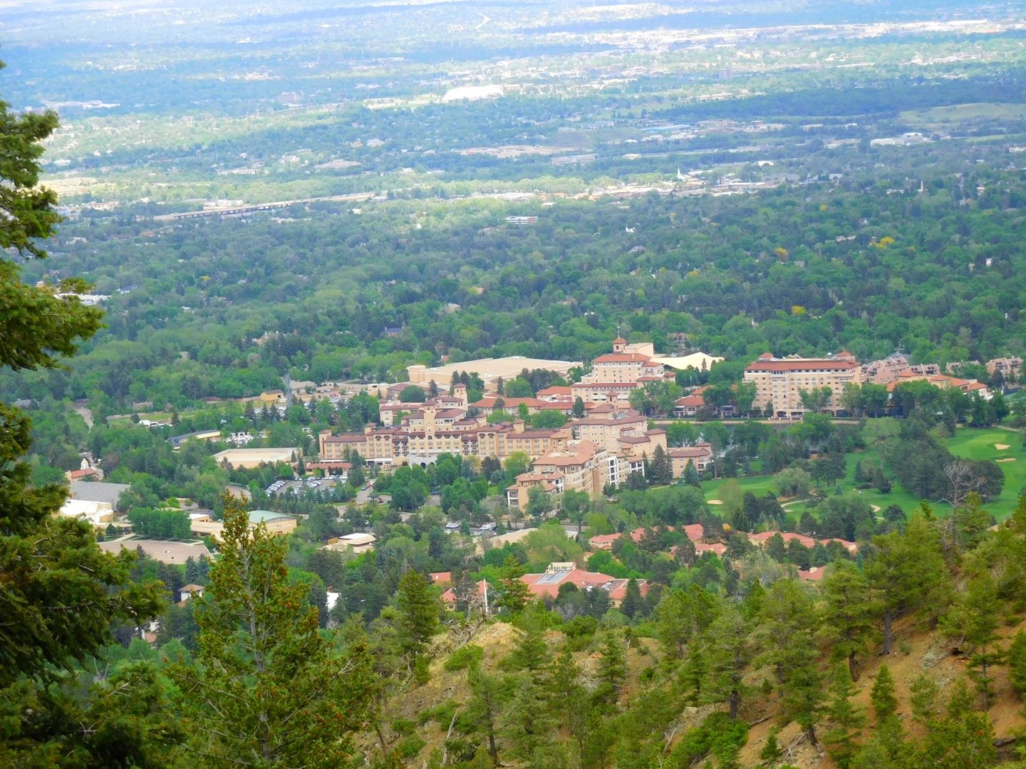
View of the Broadmoor
View of the Broadmoor

Aspen grove near the summit
Aspen grove near the summit

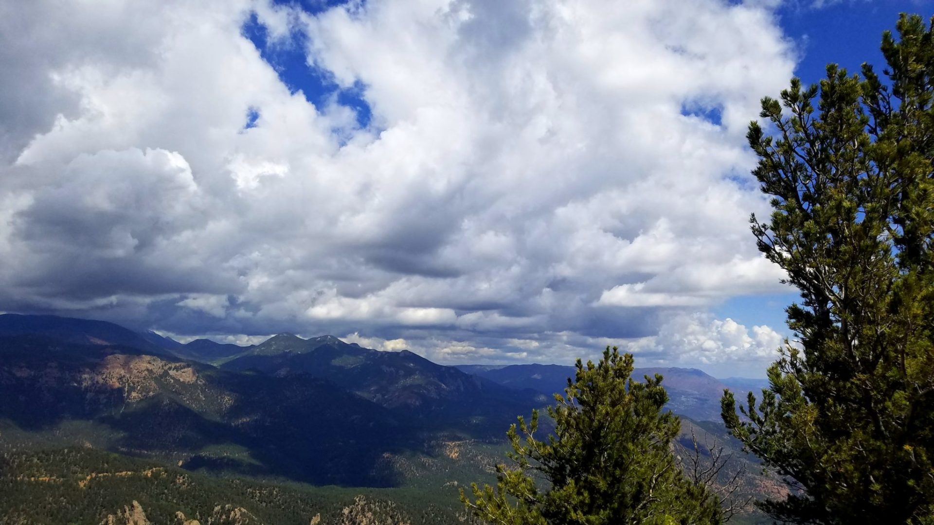
Summit view
Summit view
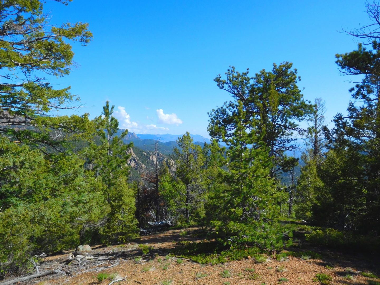
A rare clearing
A rare clearing

View of beginning of hike
View of beginning of hike
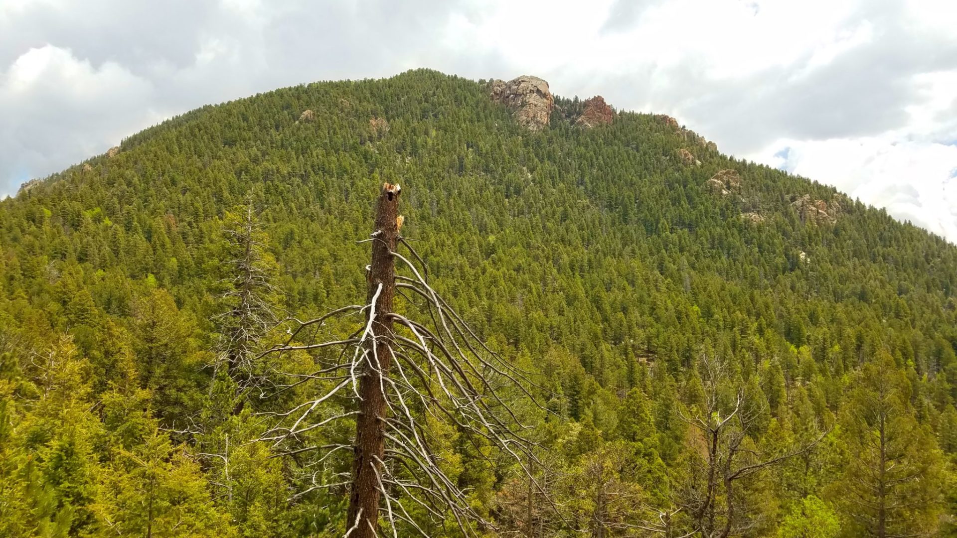
Cheyenne Mountain geological summit
Cheyenne Mountain geological summit

View east
View east

Lots of small Aspens on the summit
Lots of small Aspens on the summit
Looking north
Looking north

Summit view from Cheyenne Mountain
Summit view from Cheyenne Mountain

View west
View west

Looking south from the summit
Looking south from the summit
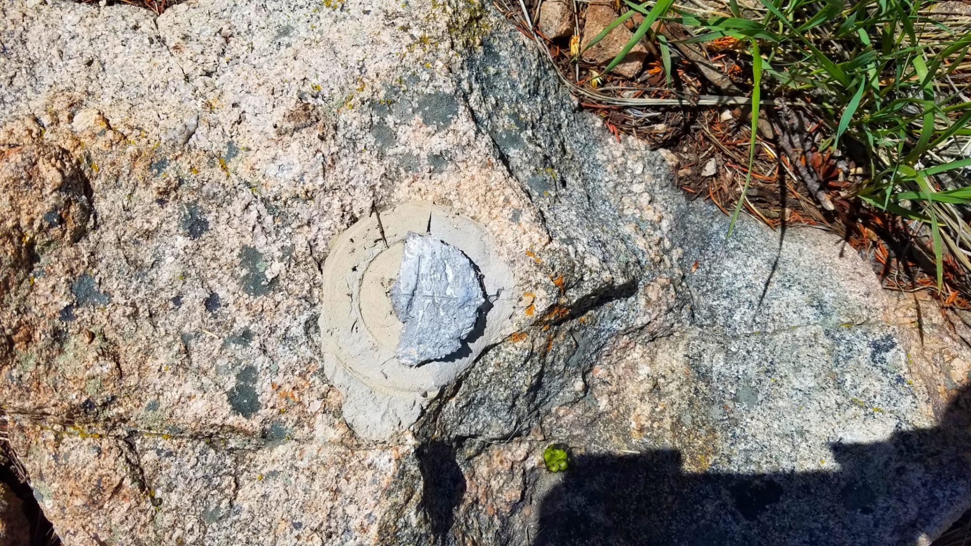
Summit marker has seen better days
Summit marker has seen better days

Cheyenne Mountain summit
Cheyenne Mountain summit
Near the summit
Near the summit

Looking NW towards Pikes Peak
Looking NW towards Pikes Peak

A tiny view
A tiny view

Steep in places
Steep in places

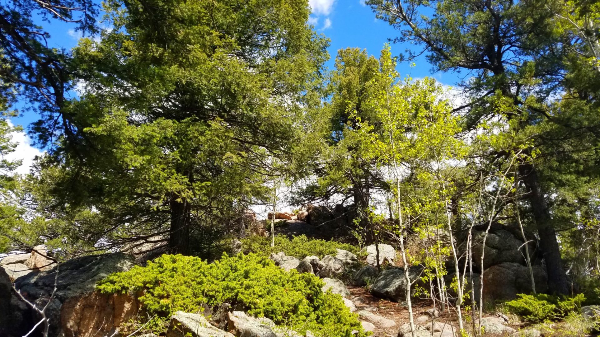
Dense forest with only a few clearings
Dense forest with only a few clearings

No obvious trail at the beginning
No obvious trail at the beginning
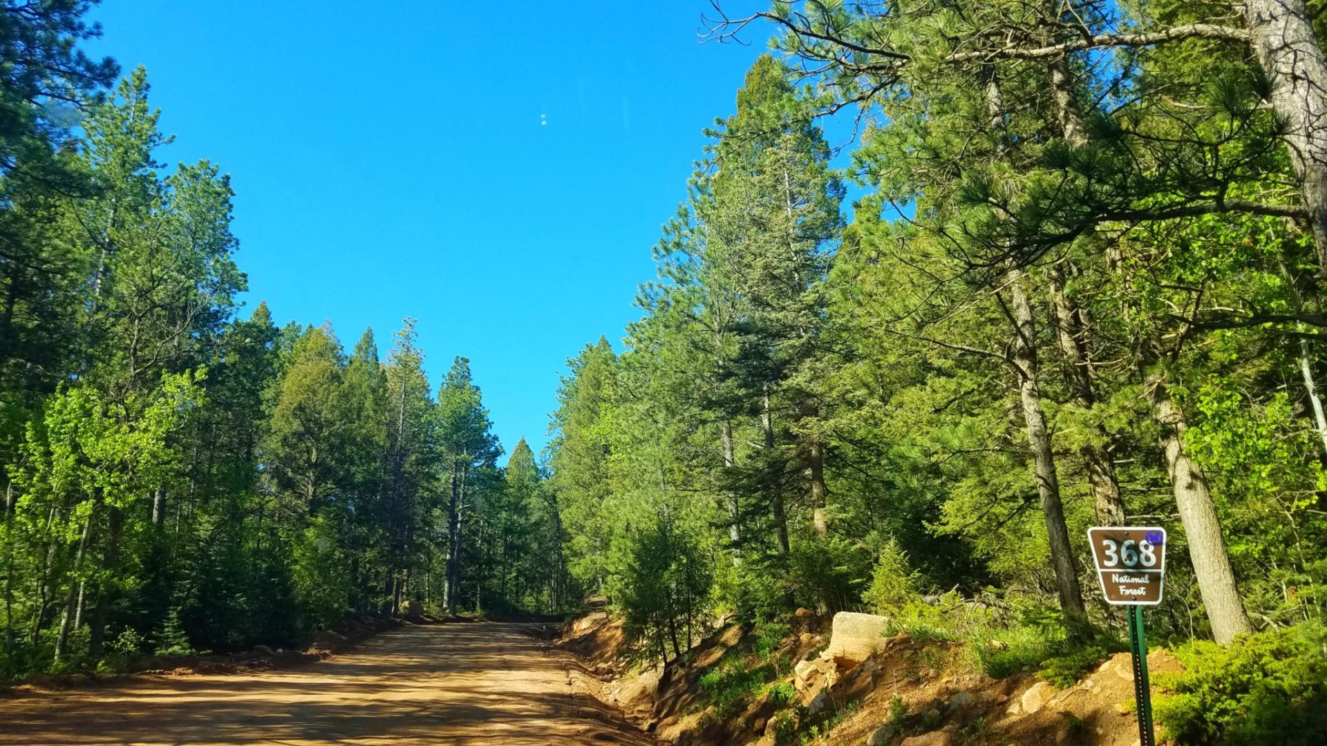
Well maintained road
Well maintained road

Old Stage Rd
Old Stage Rd
GPS Route with Elevation
Video Tour
Weather
Trail Directions
The most direct route begins alongside Old Stage Road. Old Stage road/368 climbs up a valley along the west side of Cheyenne Mountain from Colorado Springs. There is a turnout for about 3 cars across the street from where the trek starts (see pictures and Directions). Once across the street the most direct path to the summit is to head east-northeast until the summit ridge where you will turn north-northeast.
After climbing a fairly steep section after the road, things flatten out as you traverse the ridge of a smaller hill. There is a faint trail heading to the northeast along this section, follow it. 50 feet before the end of the faint trail head east and down a shallow gully before heading up to the summit ridge. There is very deep forest and brush in this section, so look for the path of least resistance. This sections gets steeper as you near the summit ridge.
Once on the summit ridge you will see the true summit to the north-northeast. Cross one more shallow gully before heading up to the summit.
Trailhead Directions