Pikes Peak (14,110′), Front Range
Pikes Peak (14,110′), Front Range
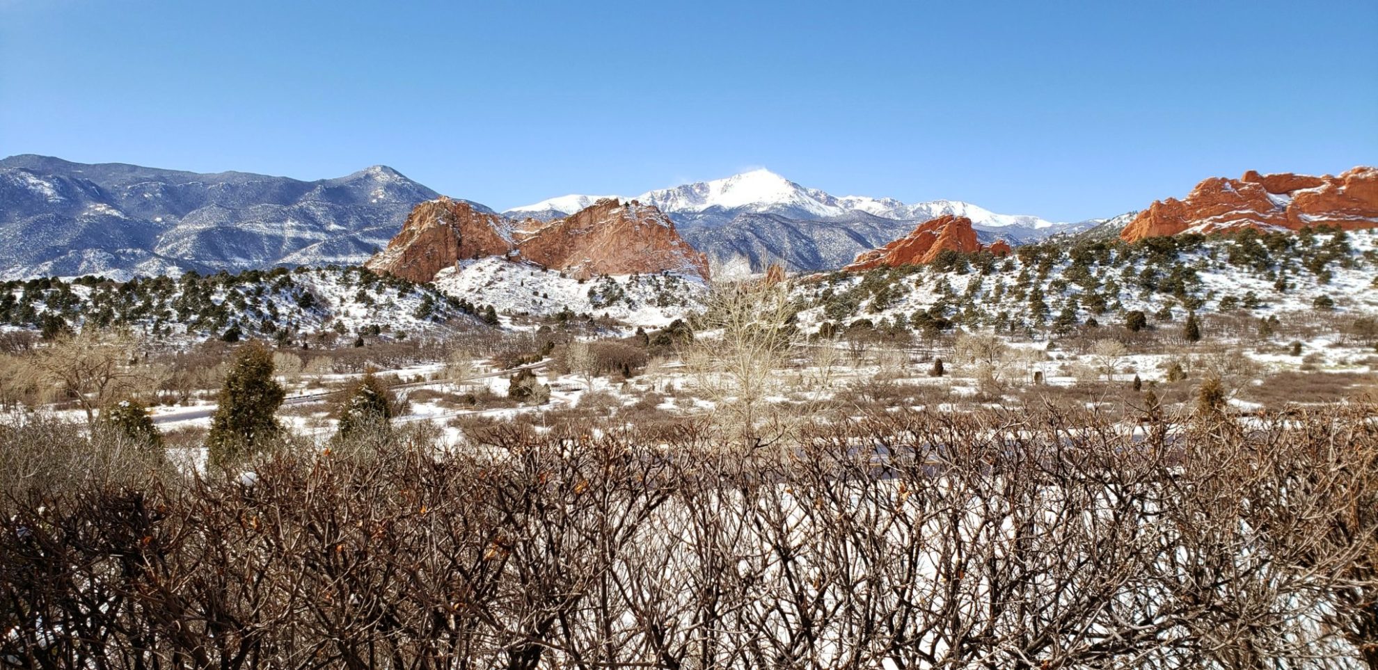
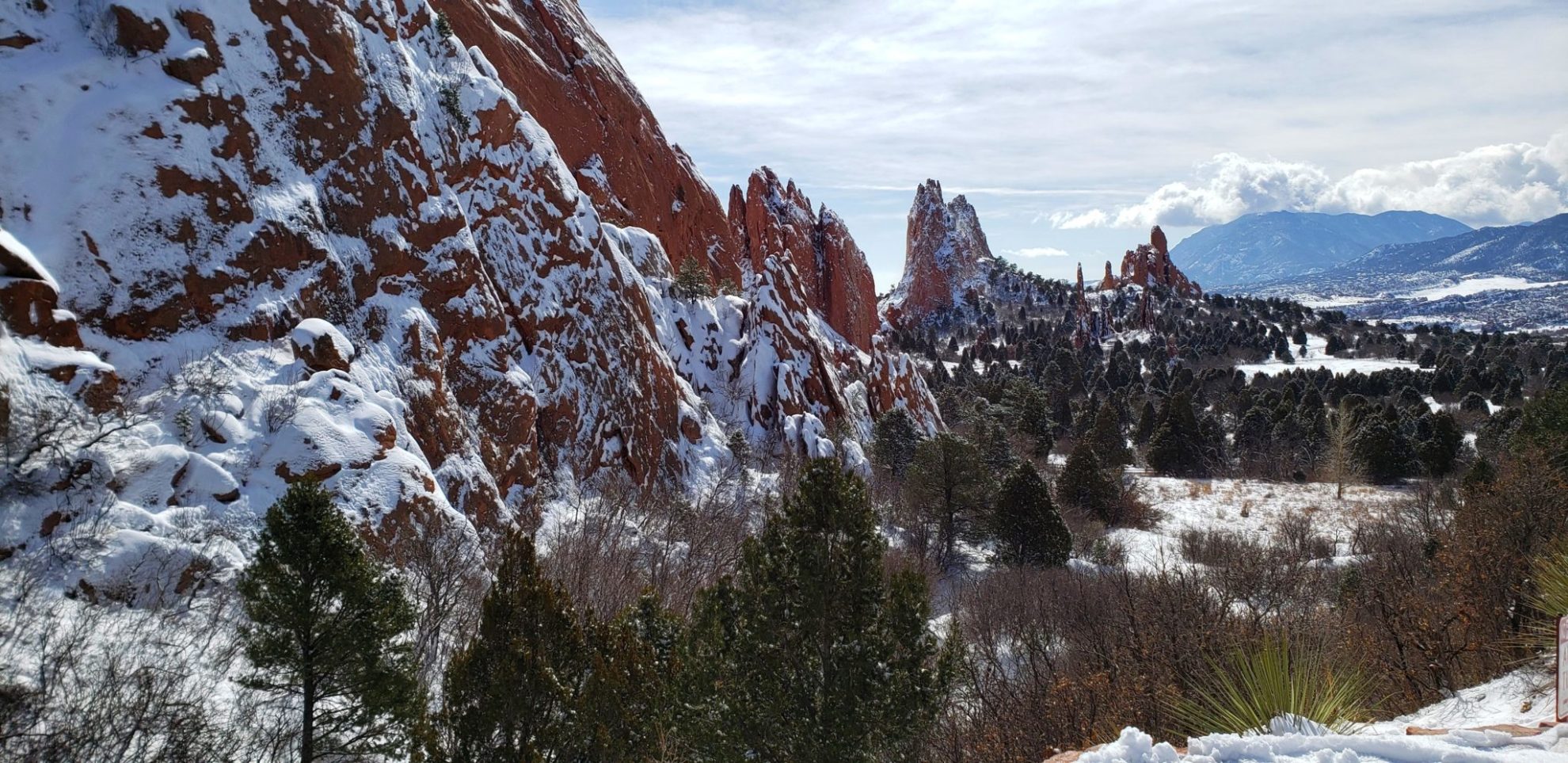
Pikes Peak is the highest summit of the southern Front Range of the Rocky Mountains in North America. The prominent 14,115-foot (4,302.31 m) fourteener is located in Pike National Forest, 12 miles (19 km) west of downtown Colorado Springs, Colorado. The summit is higher than any point in the United States east of its longitude. The uppermost portion of Pikes Peak, above 14,000 feet (4,267 m) elevation, was declared a National Historic Landmark in 1961.
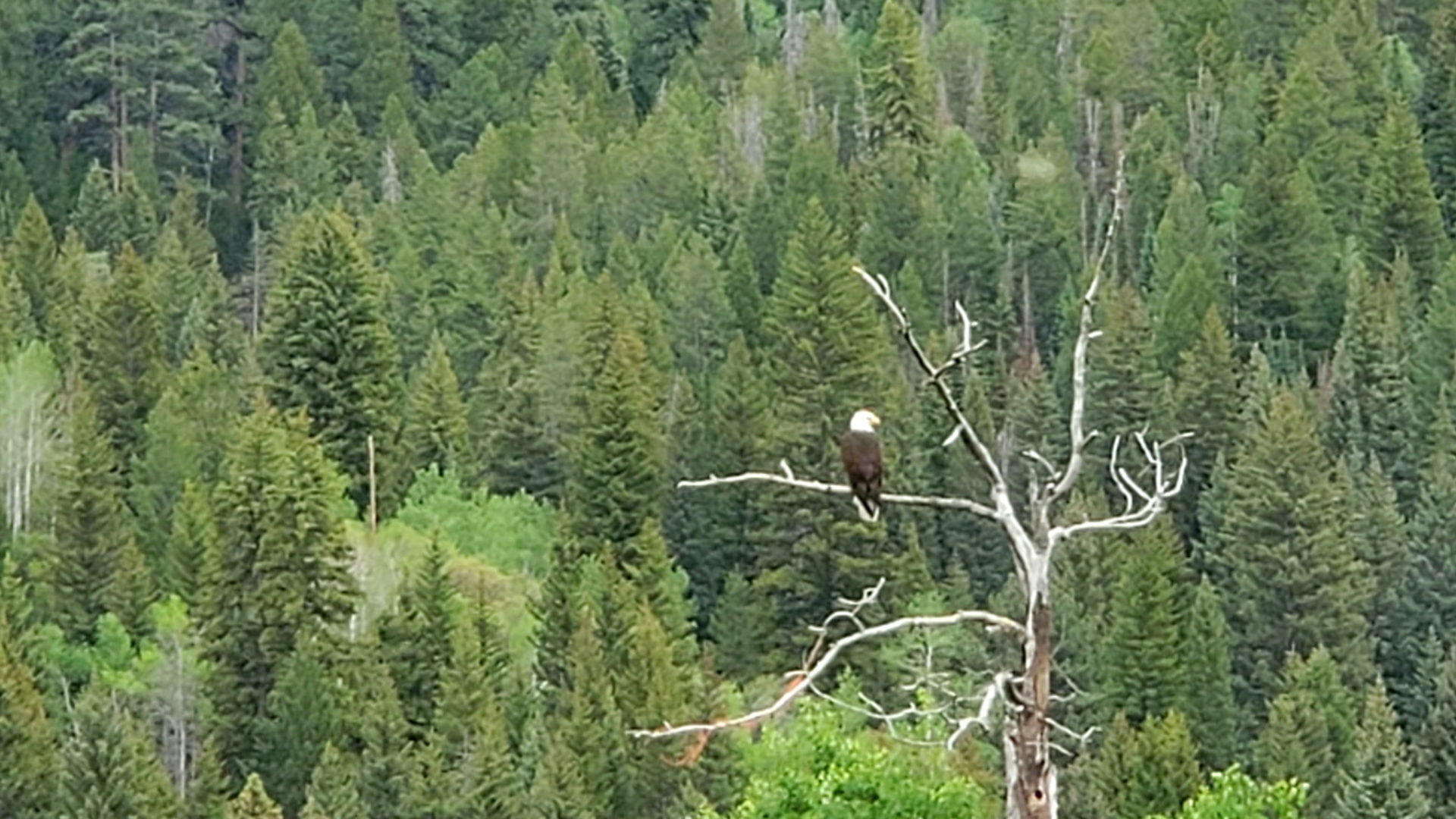
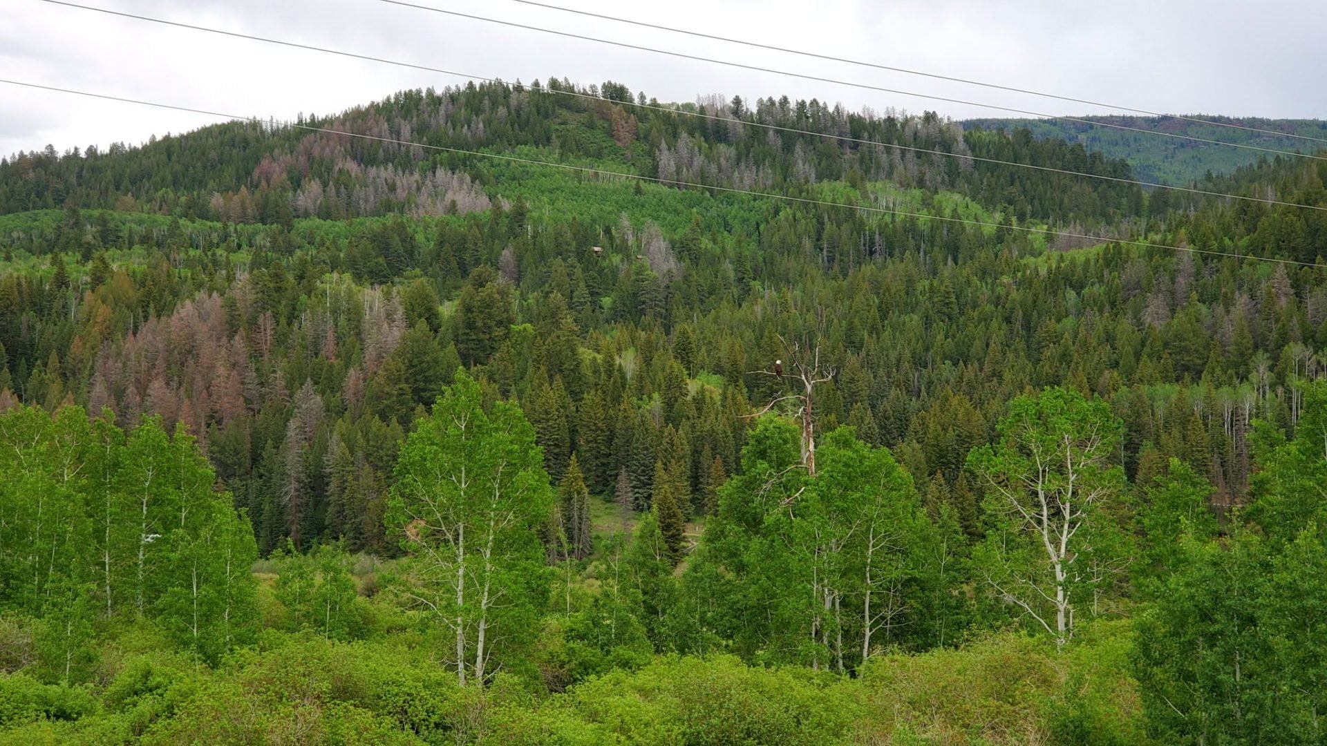
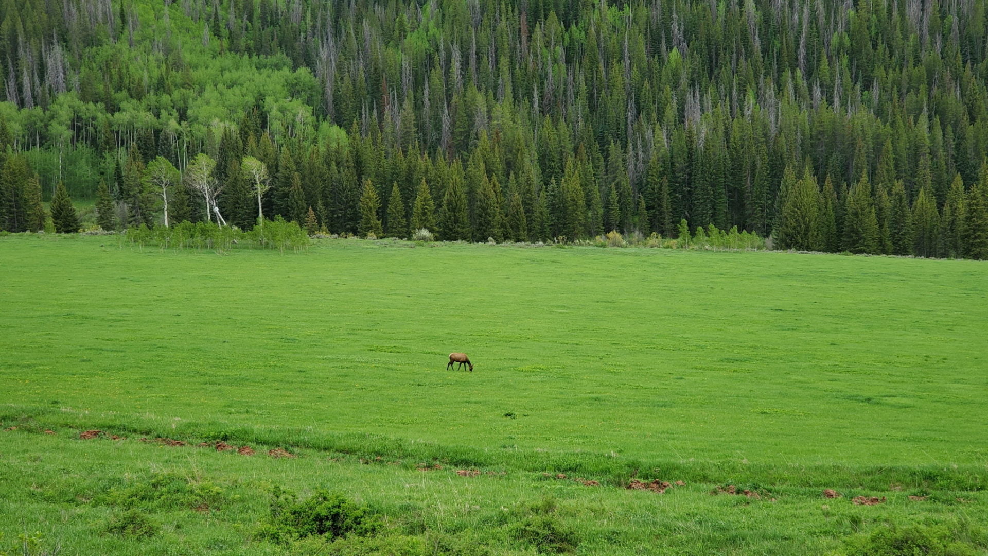
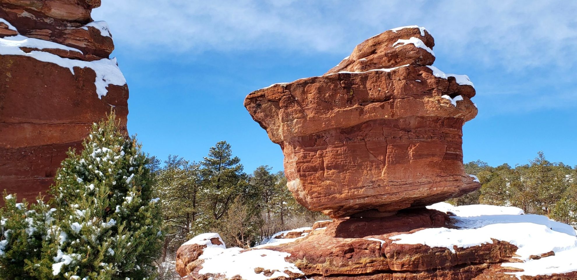
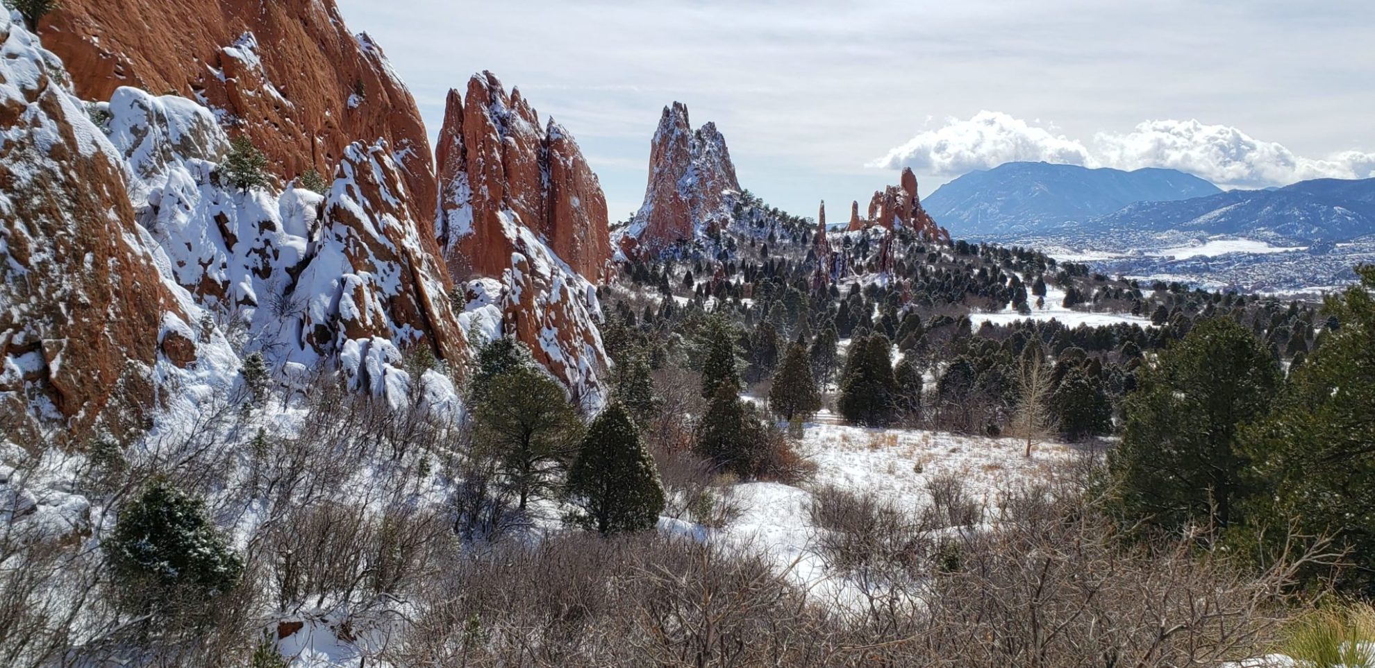
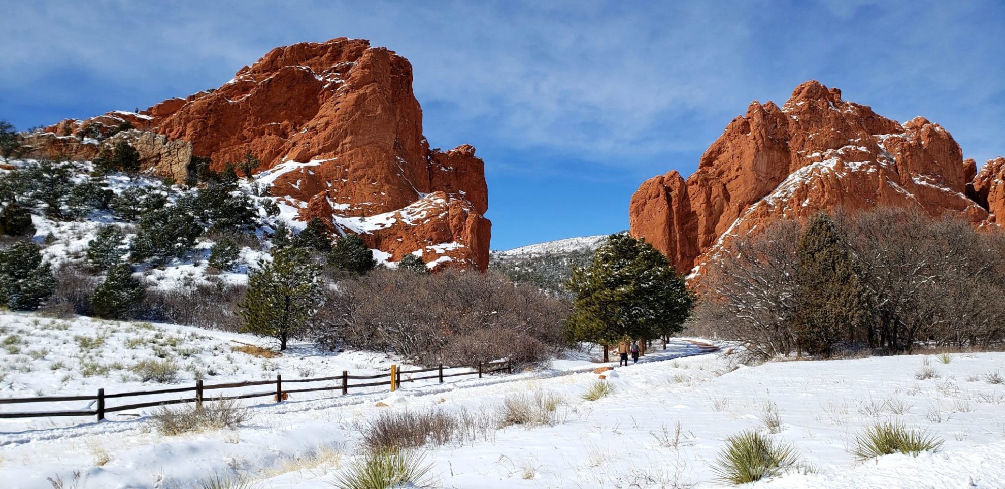
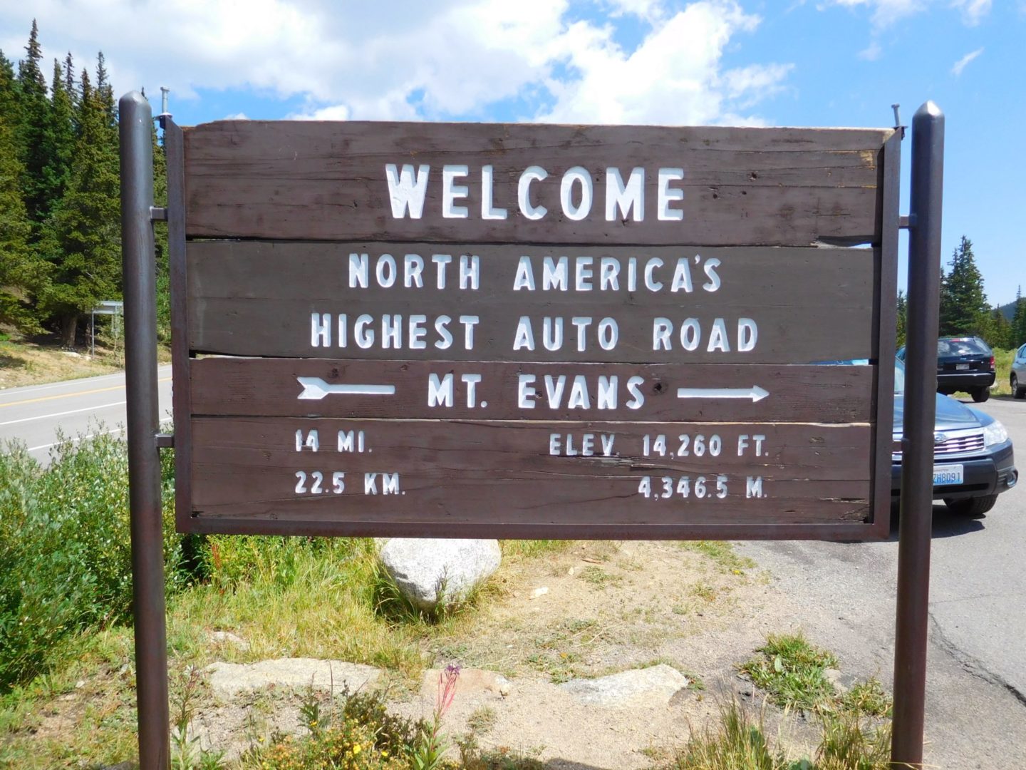
The mountain and it’s flanks offer great hiking, such as Pancake Rocks and the Crags. The other 14,000′ peak in Colorado with a paved road to nearly the summit is Mt Evans.
Trail Stats
- Rating – Easy
- Road: Pikes Peak Hwy
- Round trip: 36 miles / 58 km
- Elevation: 7,400′ – 14,110′ / 2,256 m – 4,301 m
- County: El Paso
- Agency: U.S. Forest Service
- National Forest: Pike

Trail Pictures
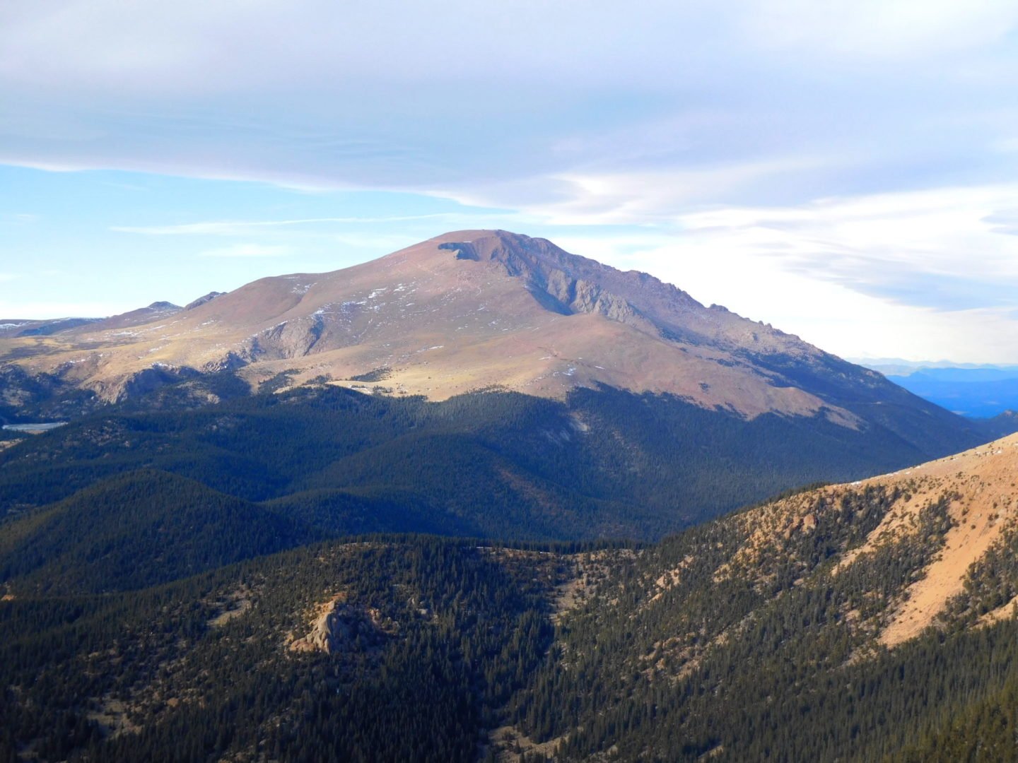
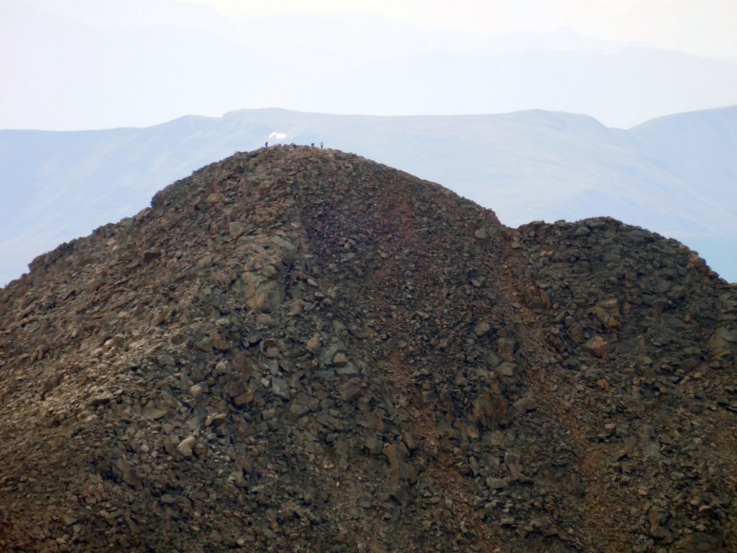
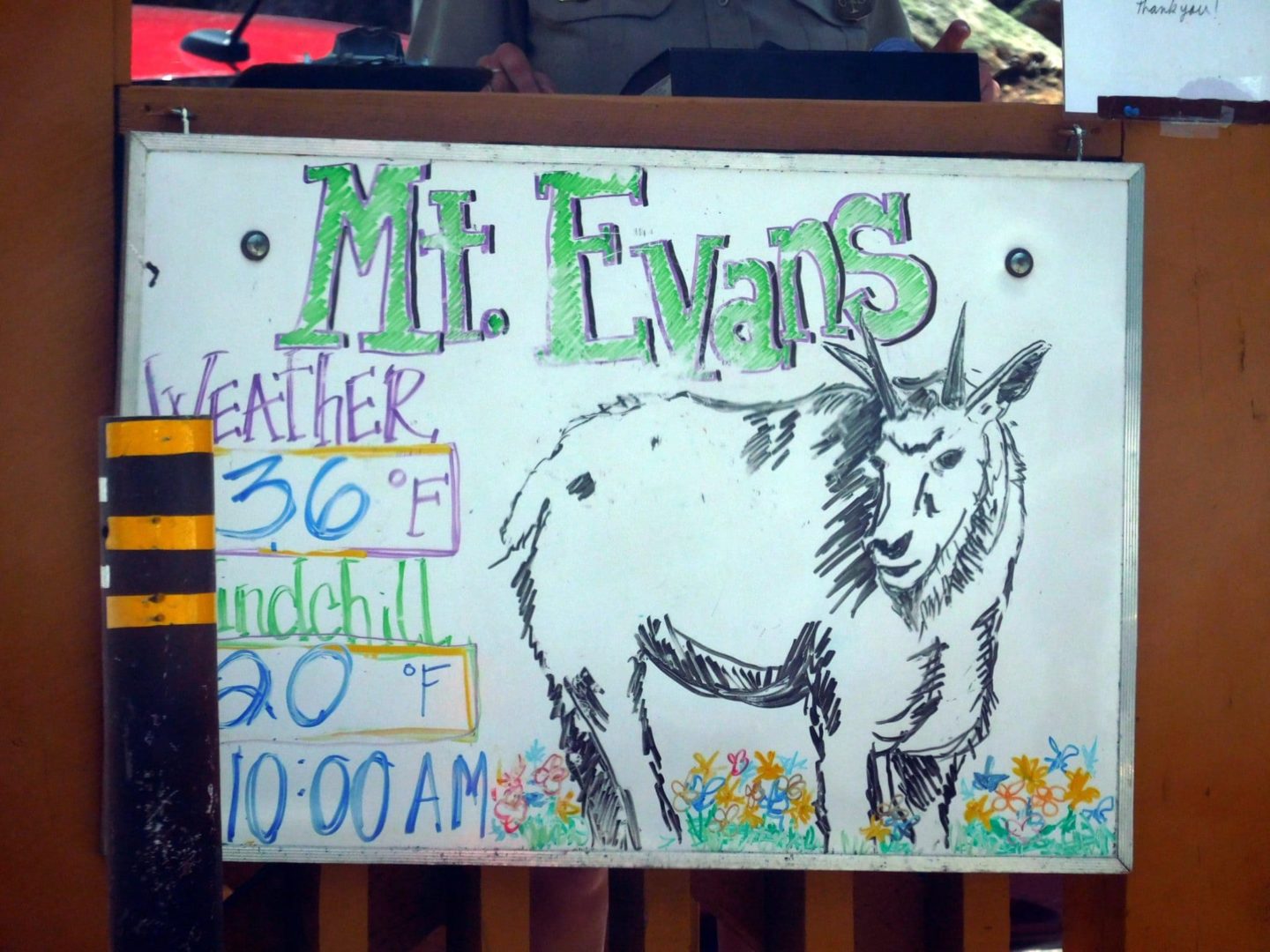
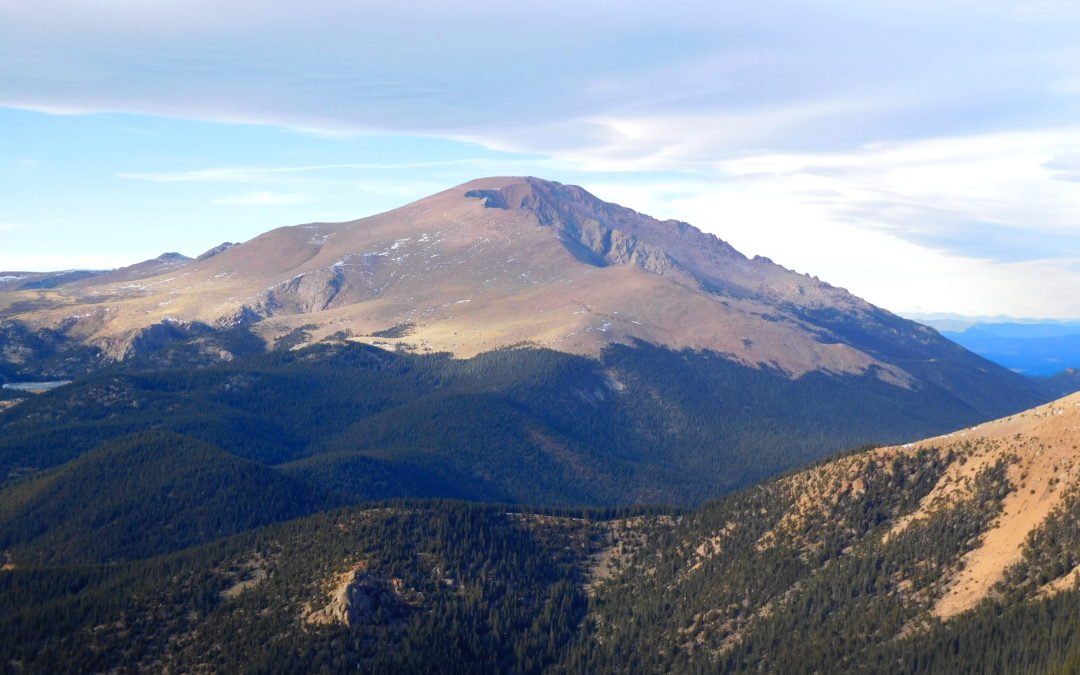
View of Pikes Peak from Almagre Mountain
View of Pikes Peak from Almagre Mountain

Gift shop, snacks, and a brake check for vehicles
Gift shop, snacks, and a brake check for vehicles
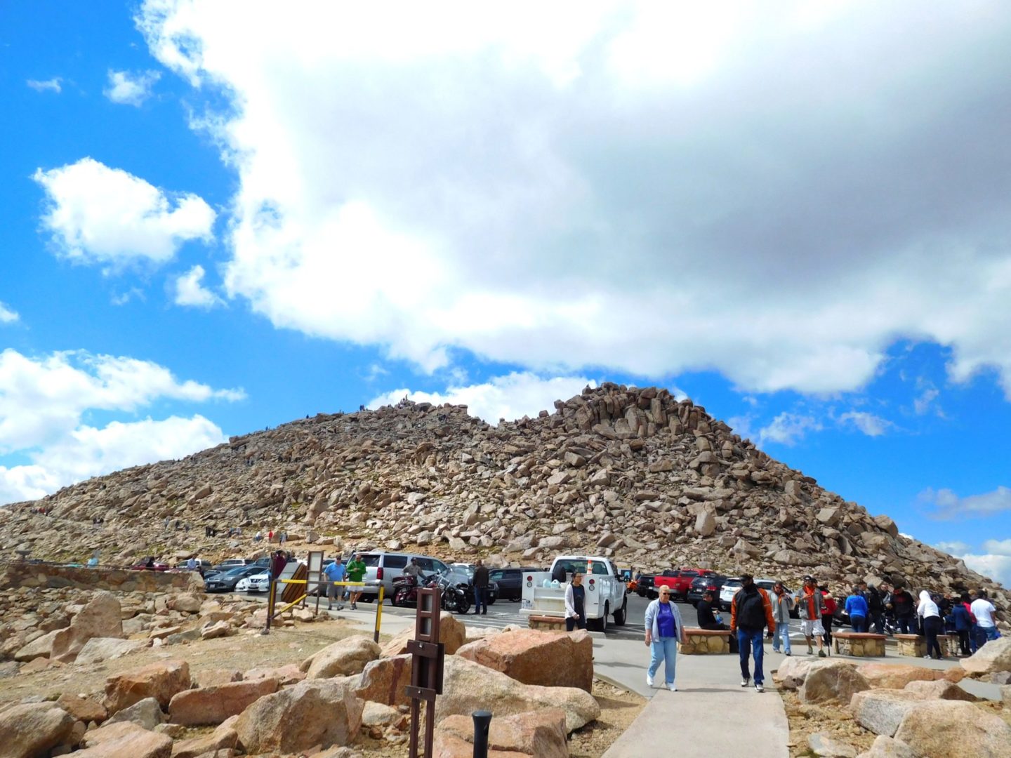
Pikes Peak Hwy is a popular tourist attraction
Pikes Peak Hwy is a popular tourist attraction

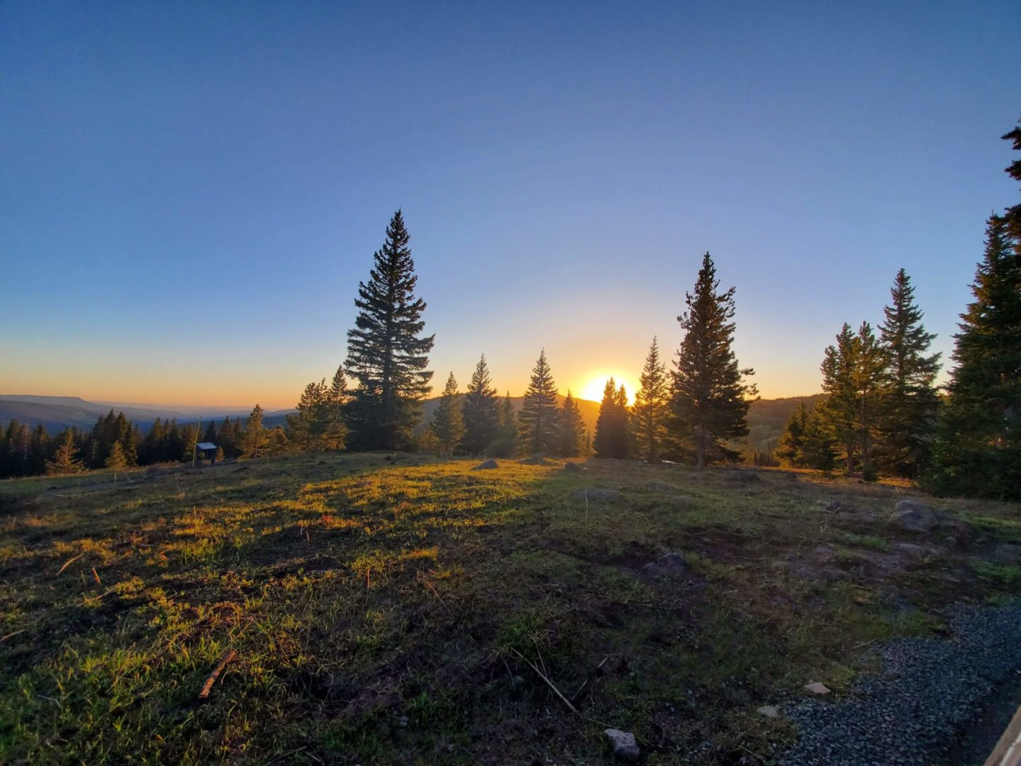
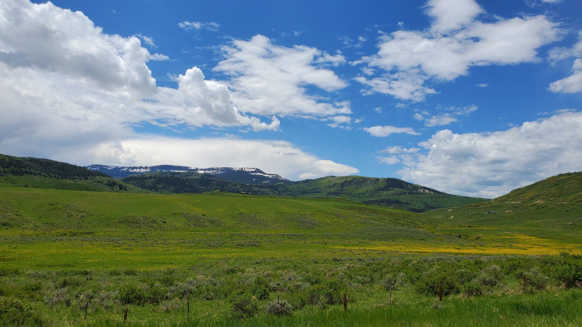
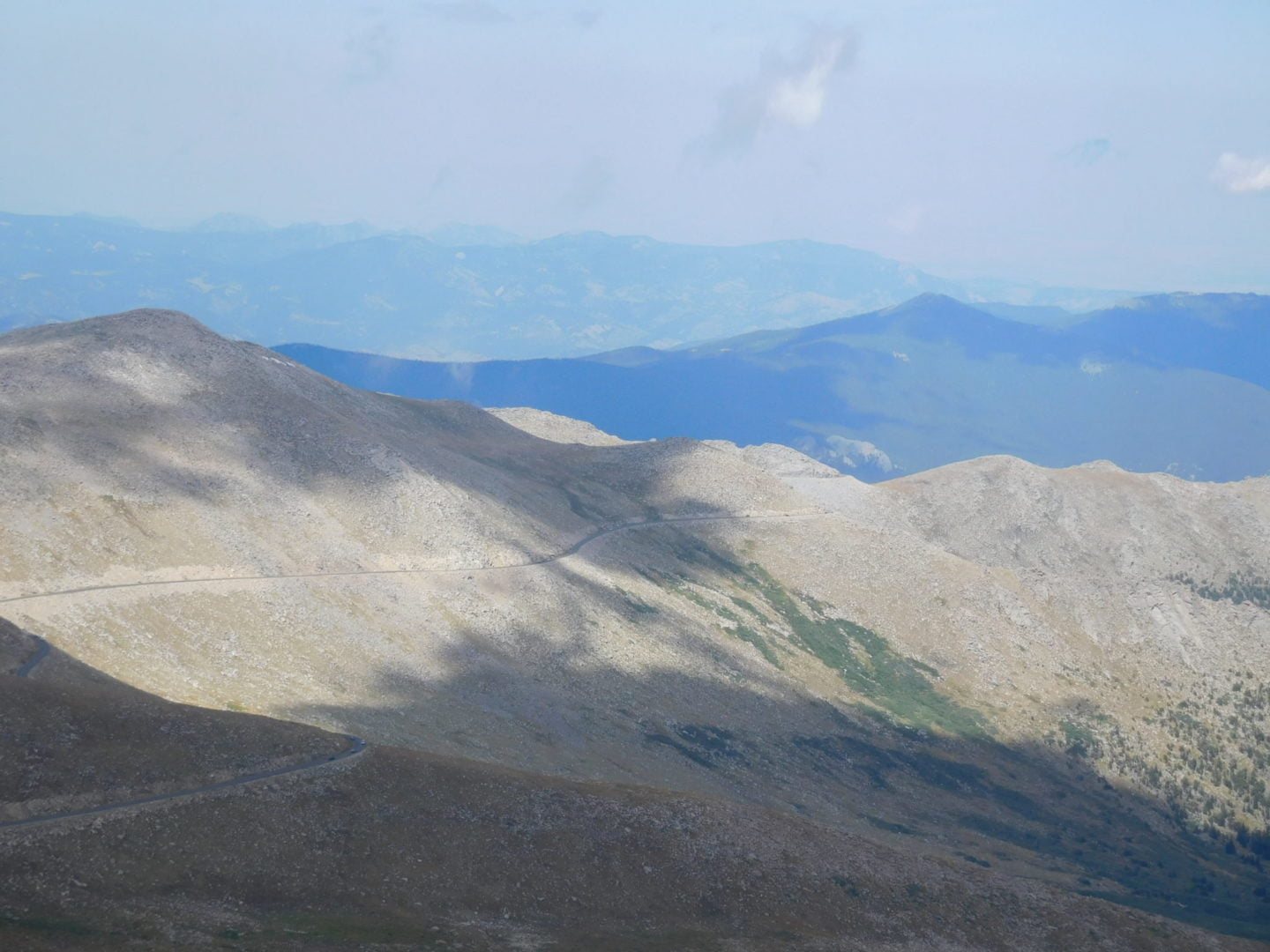
Plenty of areas to stop and enjoy the views
Plenty of areas to stop and enjoy the views

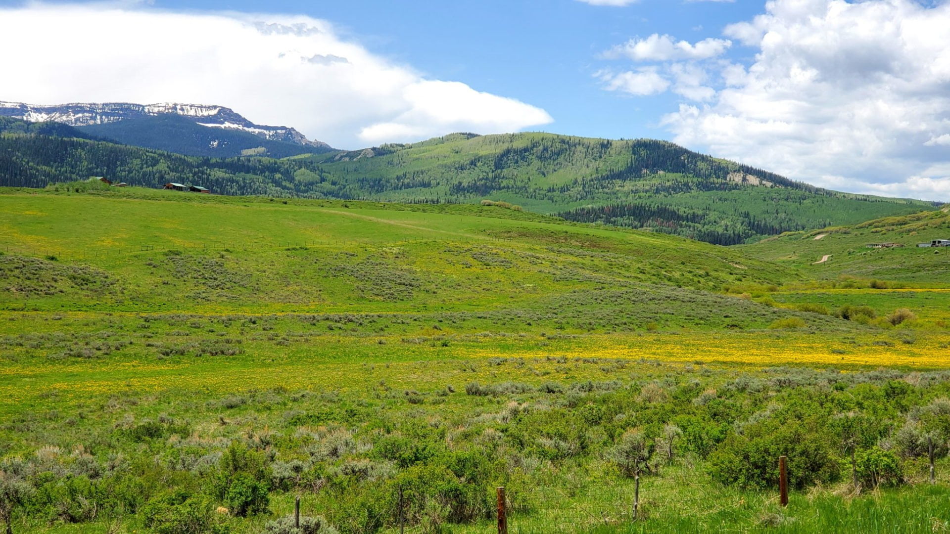
Looking towards the east are numerous reservoirs
Looking towards the east are numerous reservoirs

The Front Range and eastern plains
The Front Range and eastern plains

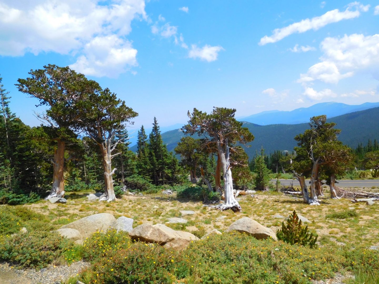
Looking west above treeline
Looking west above treeline

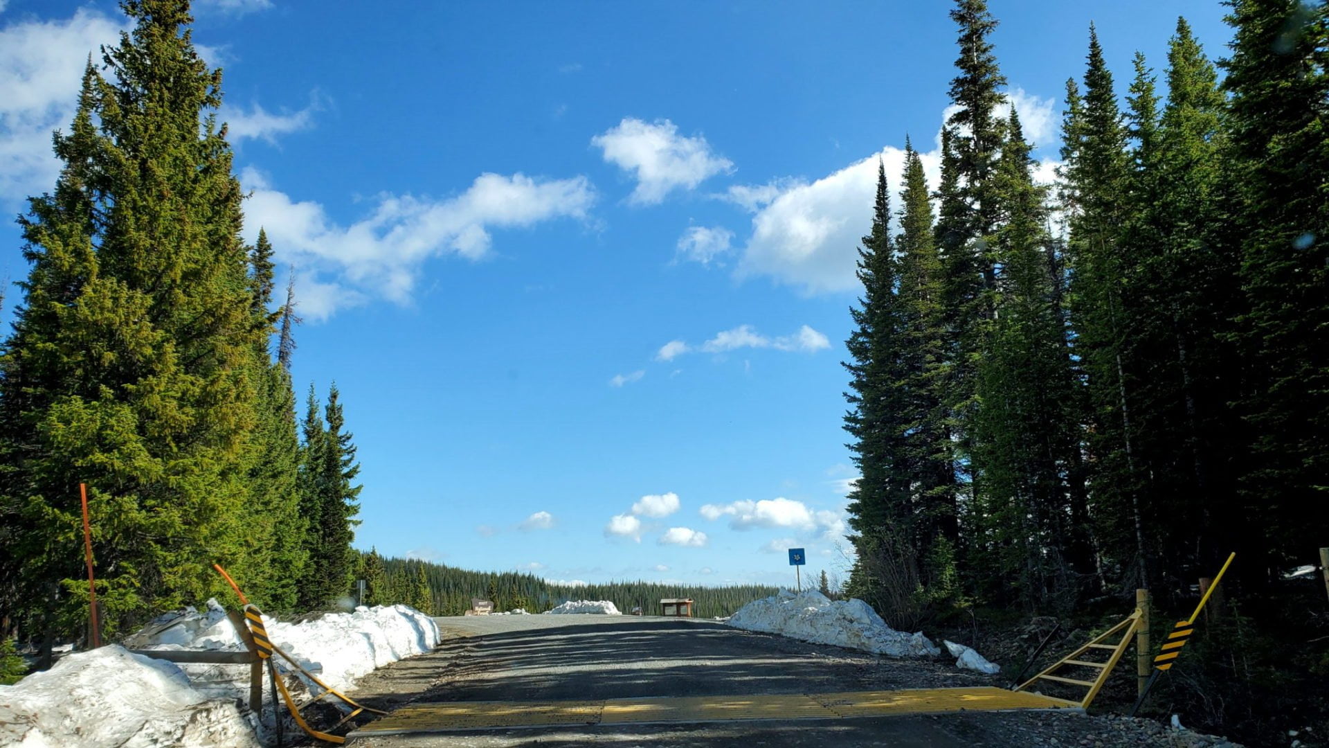
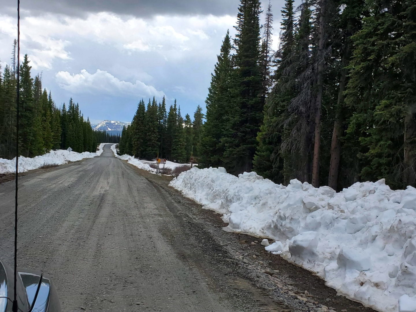
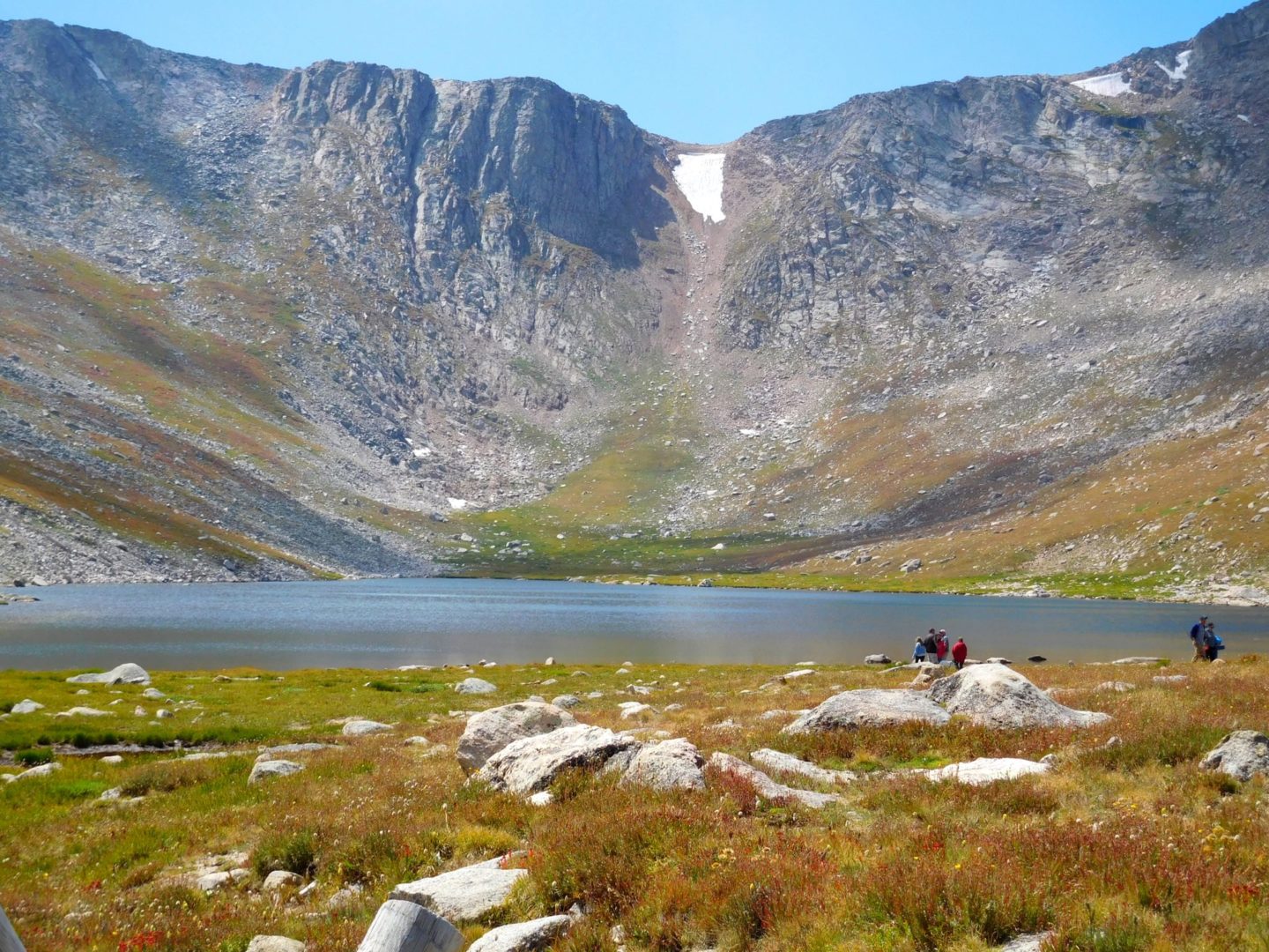
Patches of snow near the summit
Patches of snow near the summit

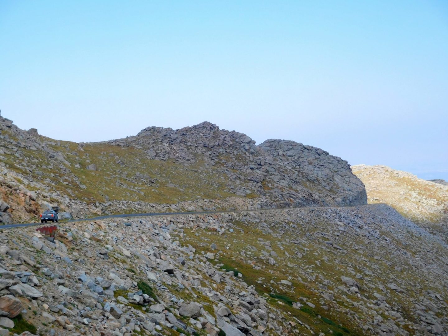
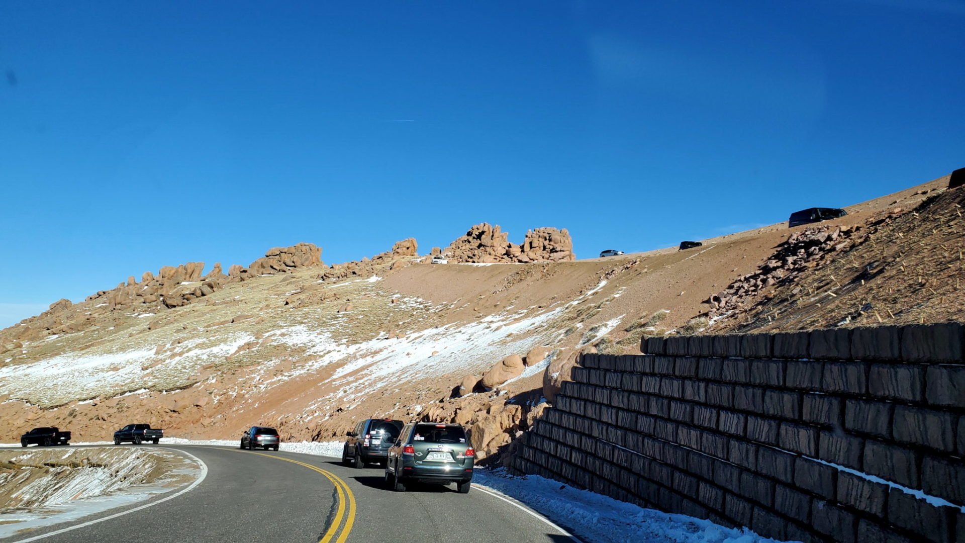
Pikes Peak Hwy is well maintained but without guardrails
Pikes Peak Hwy is well maintained but without guardrails

20201226_123101
Nearing the summit

Typically 20 degrees cooler near the summit
Typically 20 degrees cooler near the summit
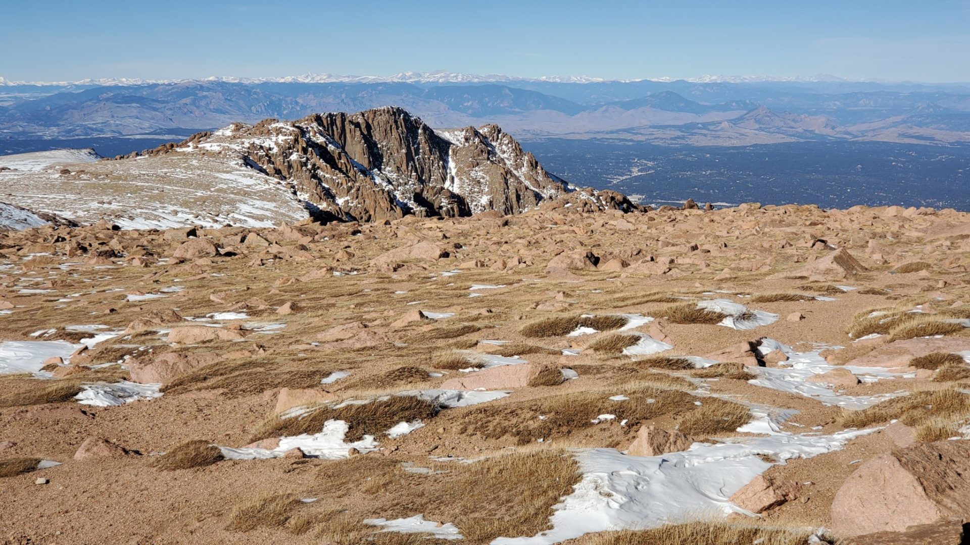
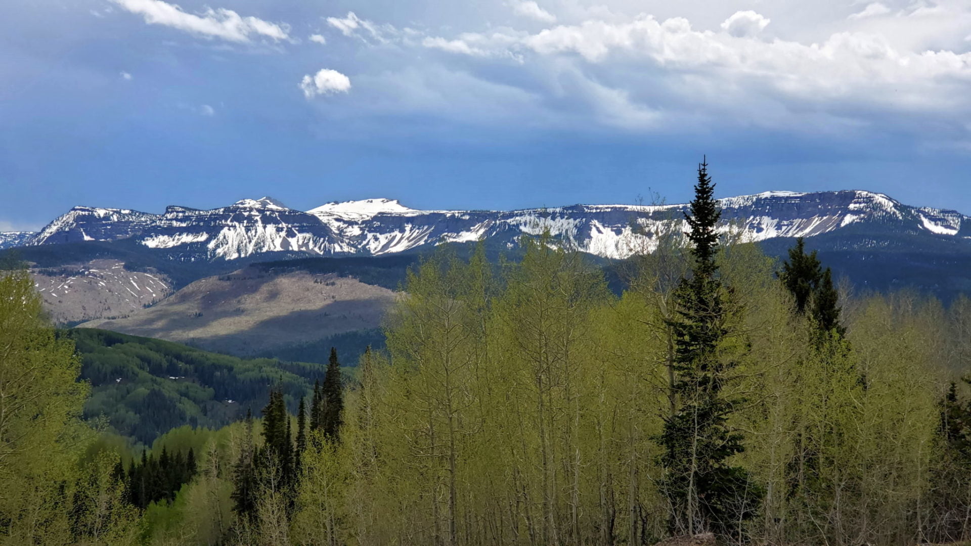
The Sawatch Mountain Range in the distance
The Sawatch Mountain Range in the distance

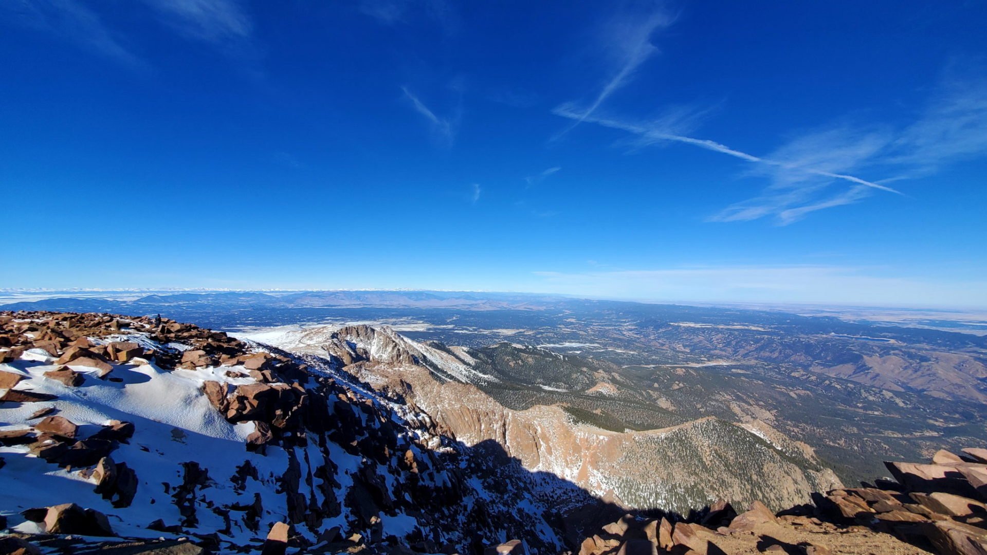
View west from the summit
View west from the summit

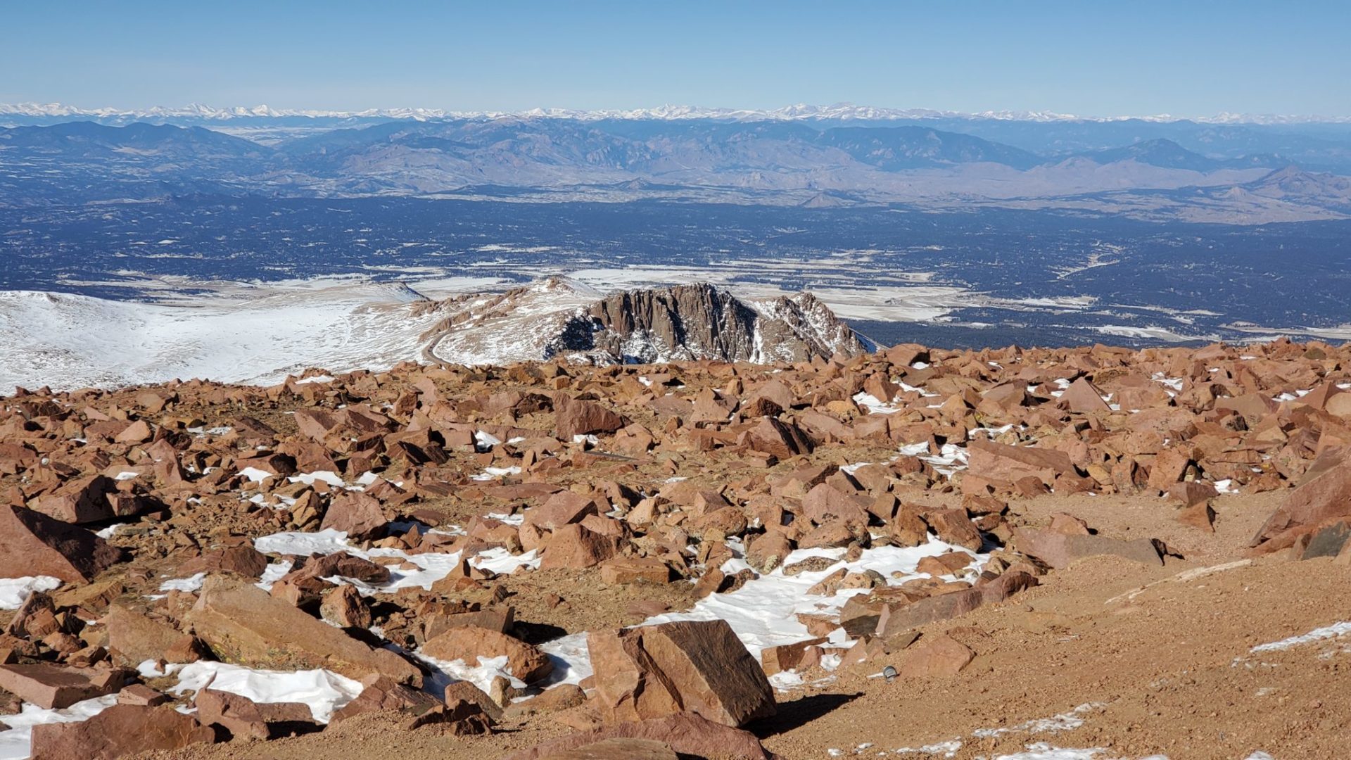
The Sawatch Mountain Range tot he west
The Sawatch Mountain Range tot he west
Looking back at the route up
Looking back at the route up

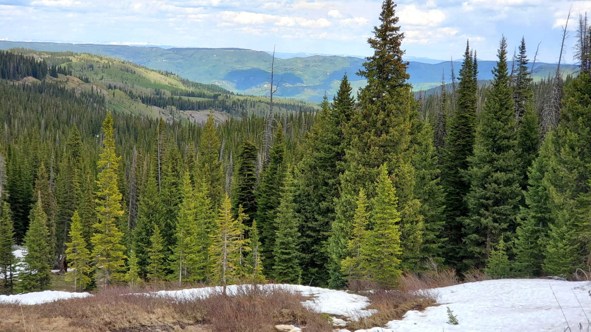
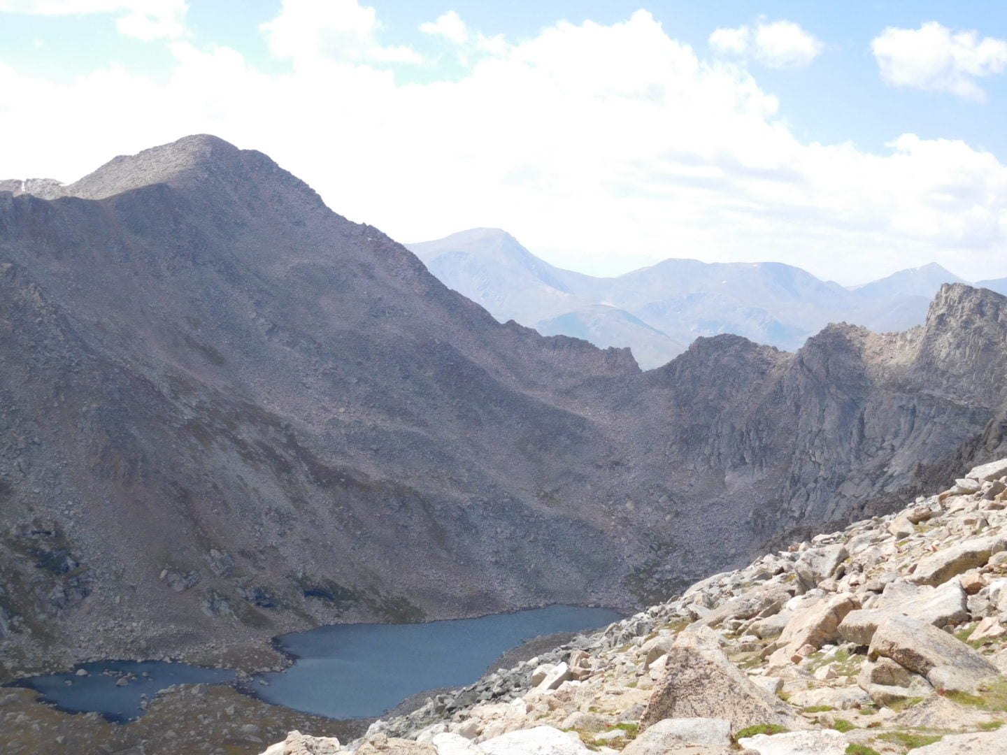
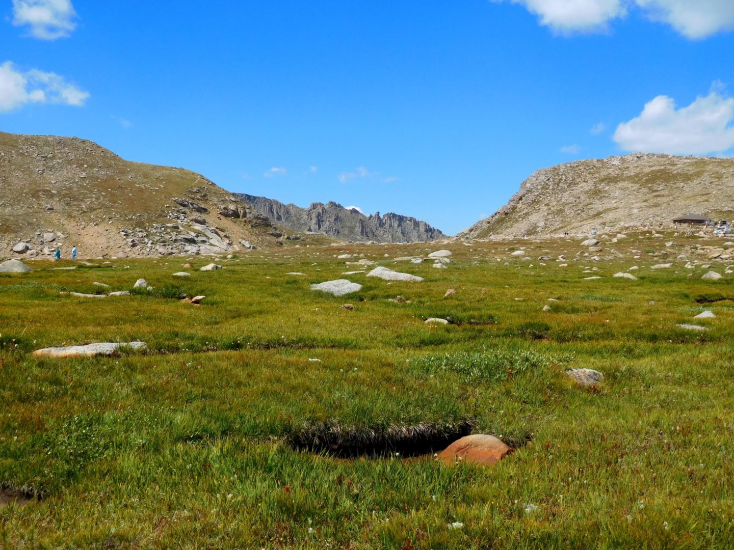
Views across the bottomless pit area
Views across the bottomless pit area
View north of the Front Range
View north of the Front Range

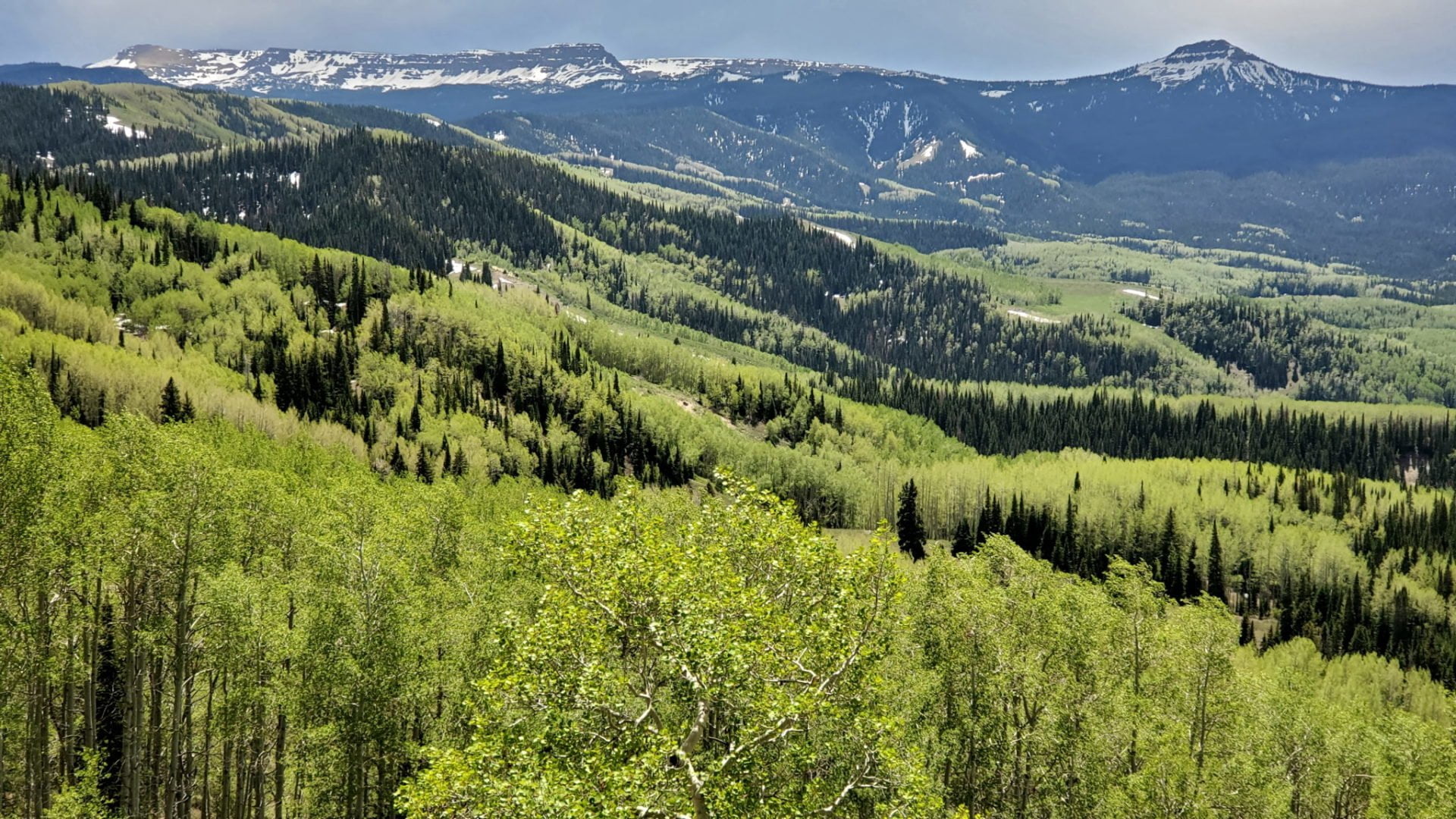
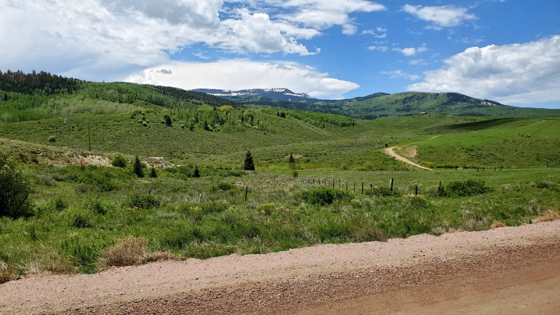
View to the east near the base of Pikes Peak
View to the east near the base of Pikes Peak
GPS Route with Elevation
Video Tour
Trail Directions
Take HWY 24 west from Colorado Springs for approximately 14 miles until you see the sign for the Pikes Peak Hwy. Turn left and follow the signs.
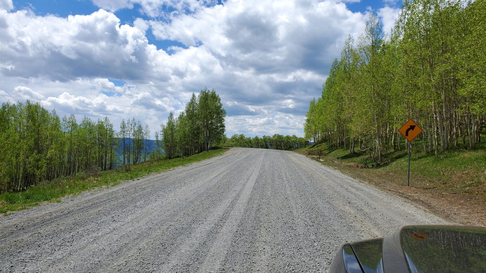
The road is paved but lacks guard rails so can be unsettling for first time mountain drivers.
This is a toll road with an entrance fee at the base of the mountain.
Trailhead Directions