The Crags (10,856′), Front Range
The Crags Trail #664 follows Four Mile Creek through deep forests and lush meadows, ending at a rocky dome with unobstructed views in all directions. At the summit of the windswept dome there are views of the Rampart Range, Pikes Peak Mastif, Catamount Reservoirs, and distant mountain ranges to the west and north.
The majority of the Crags trail has a gentle elevation gain, with the first and last half-mile gaining the most elevation.
Another hike along the the flanks of Pikes Peak with very unique geological features is Pancake Rocks.
Trail Stats
- Trailhead: The Crags/Devils Playground
- Round trip: 7.3 miles / 11.7 km (winter mileage)
- Elevation: 9,665′ – 10,856′ / 2,946m – 3,309m
- County: El Paso
- Agency: U.S. Forest Service
- Nat’l Forest: Pike

Trail Pictures
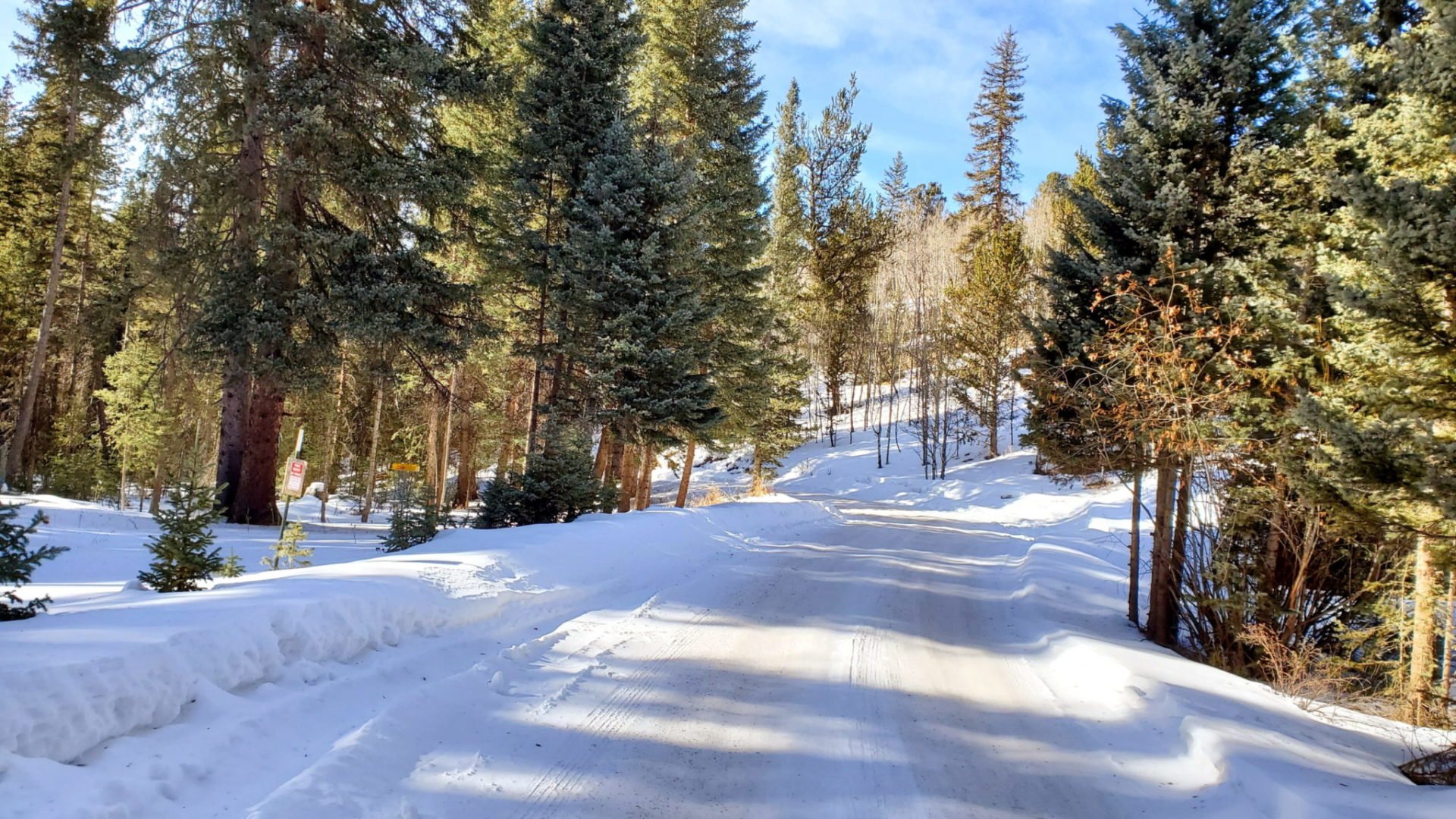
Road conditions before the closure
Road conditions before the closure
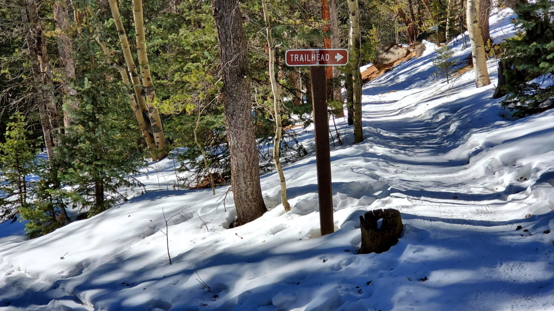
Stay to the right as you approach the trailhead
Stay to the right as you approach the trailhead

Heading back
Heading back
Pikes Peak area to the southeast
Pikes Peak area to the southeast
Looking west
Looking west
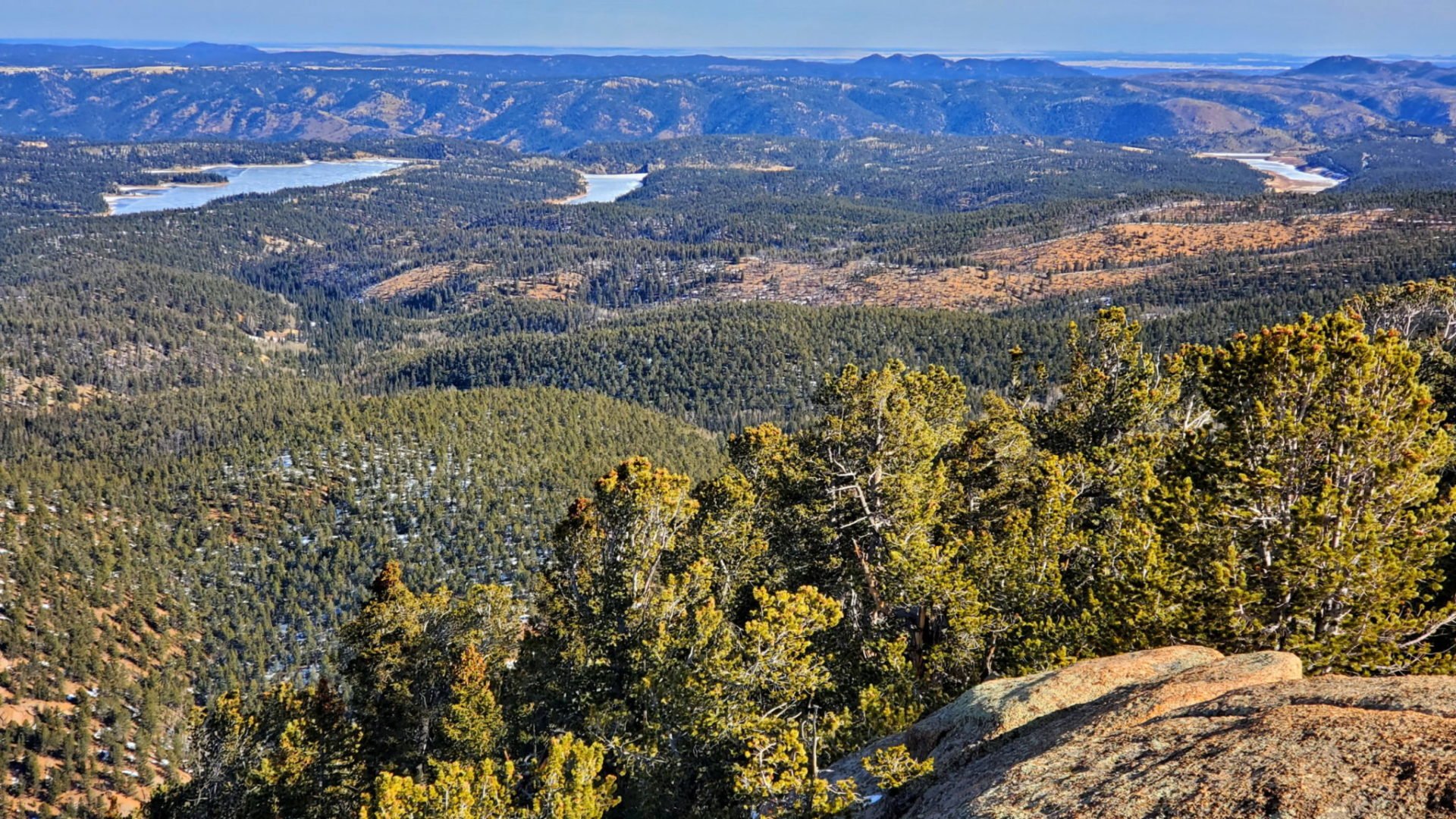
Reservoirs to the east
Reservoirs to the east
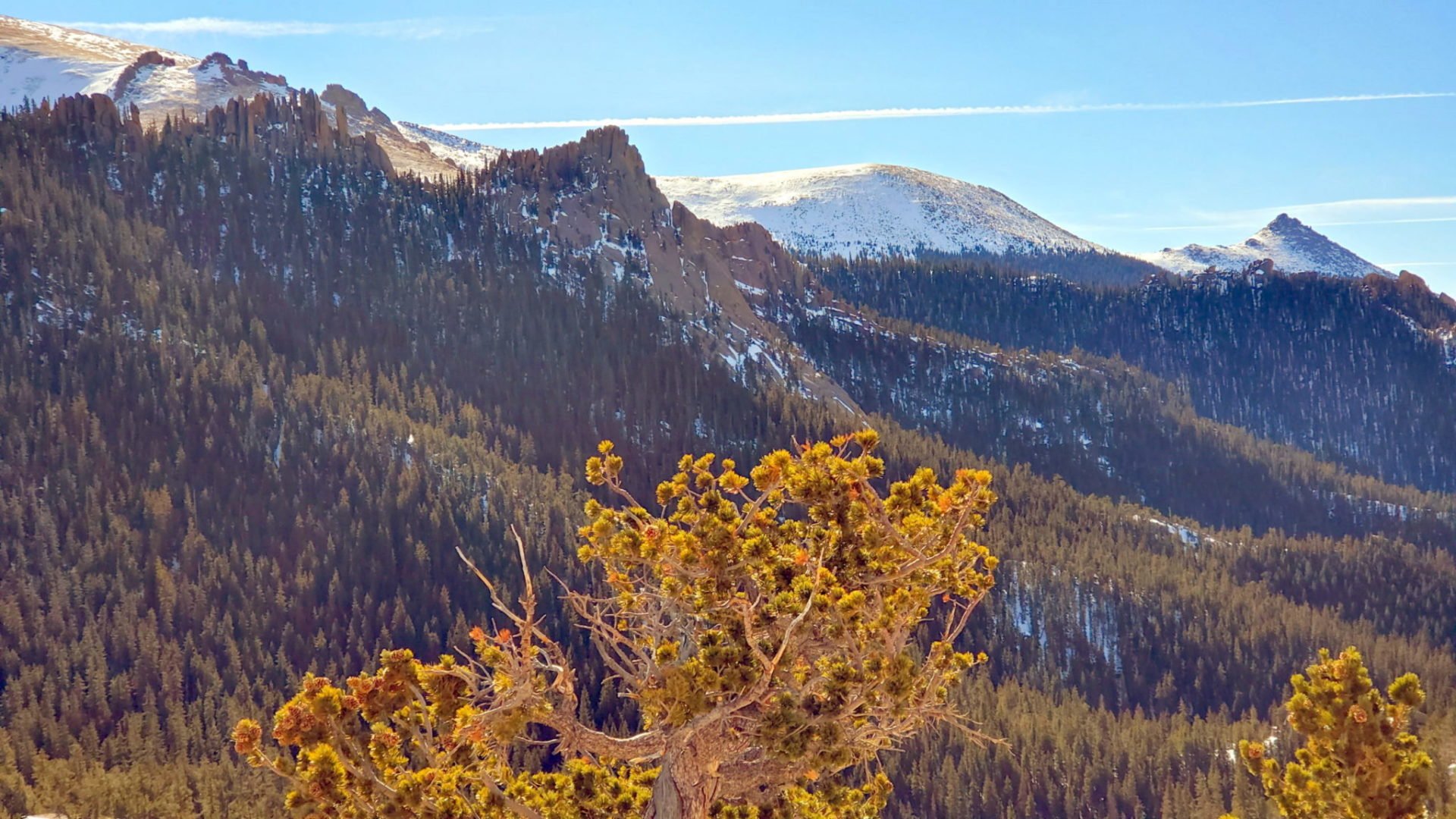
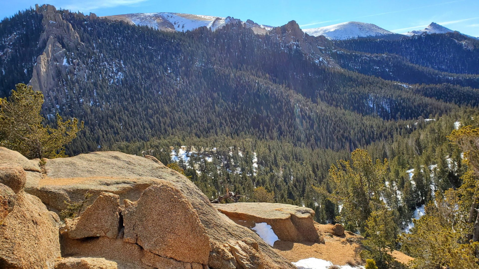
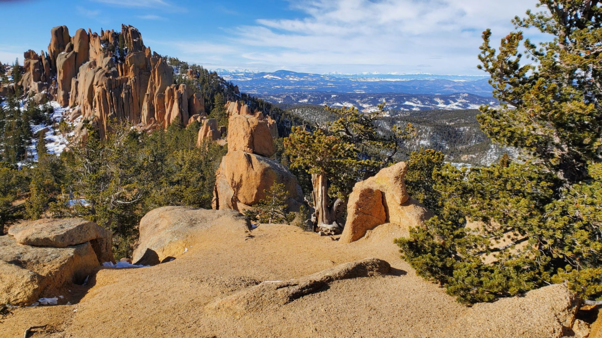
Rocky and jagged peaks
Rocky and jagged peaks
Pikes Peak ridge-line
Pikes Peak ridge-line
Summit view
Summit view
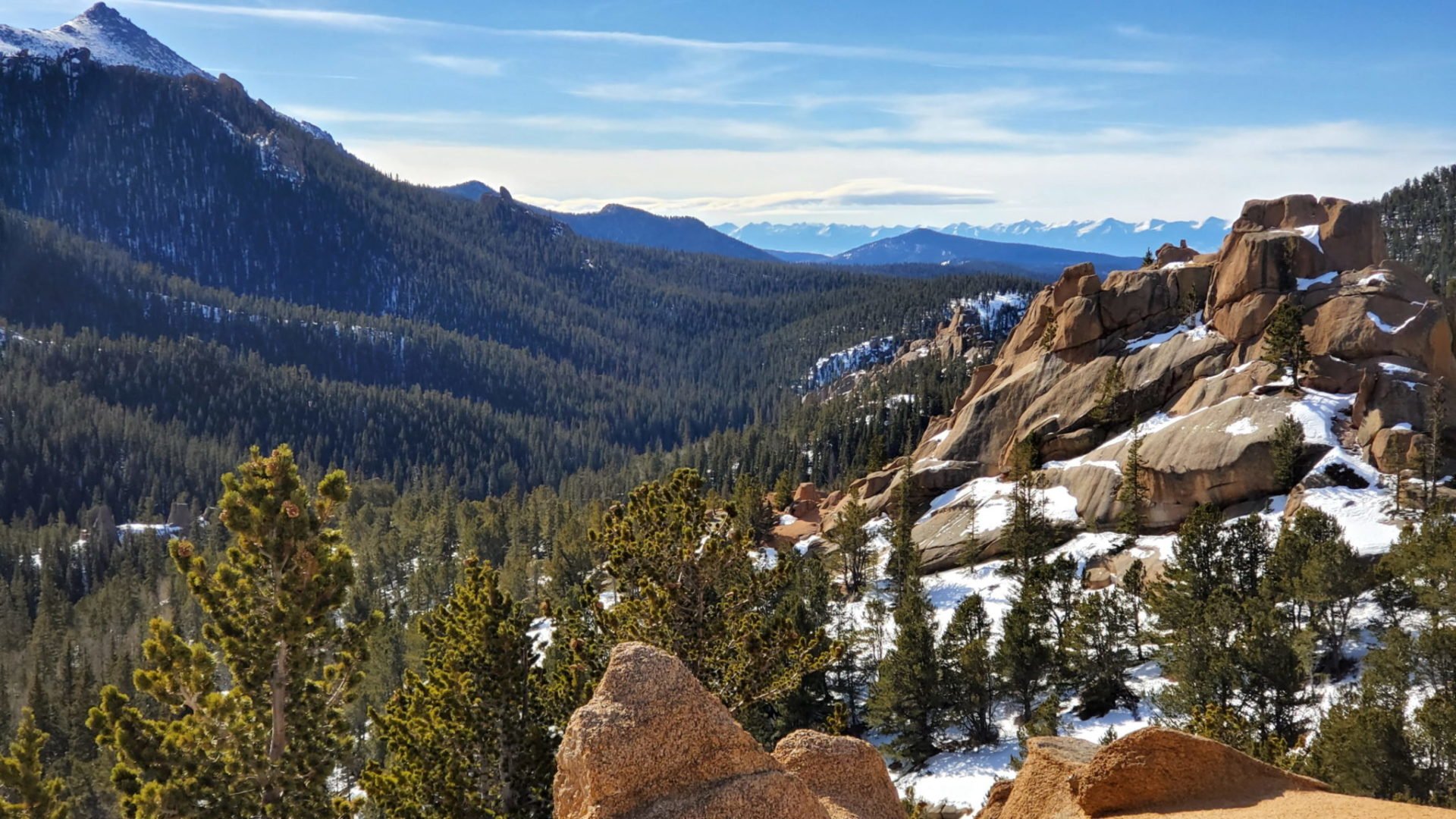
View back into the valley
View back into the valley
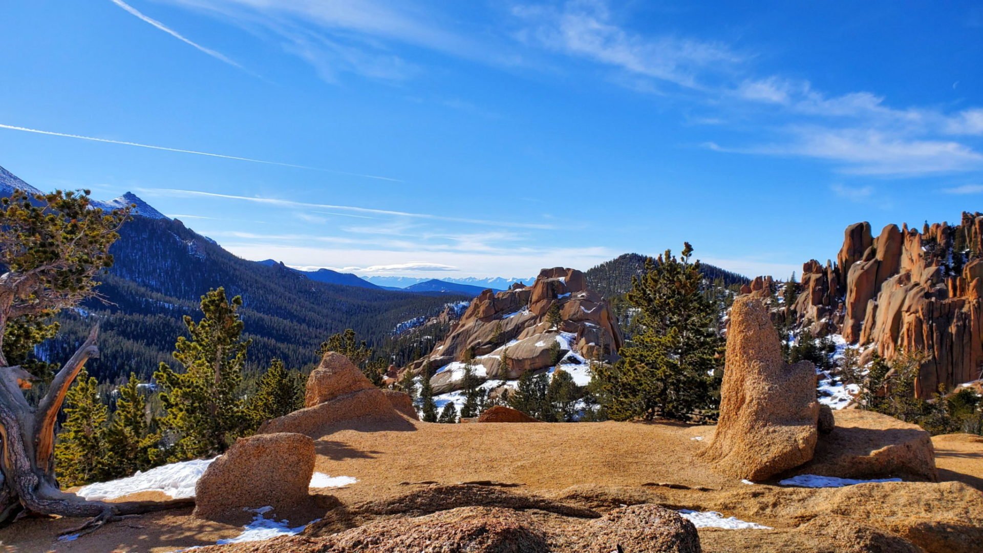
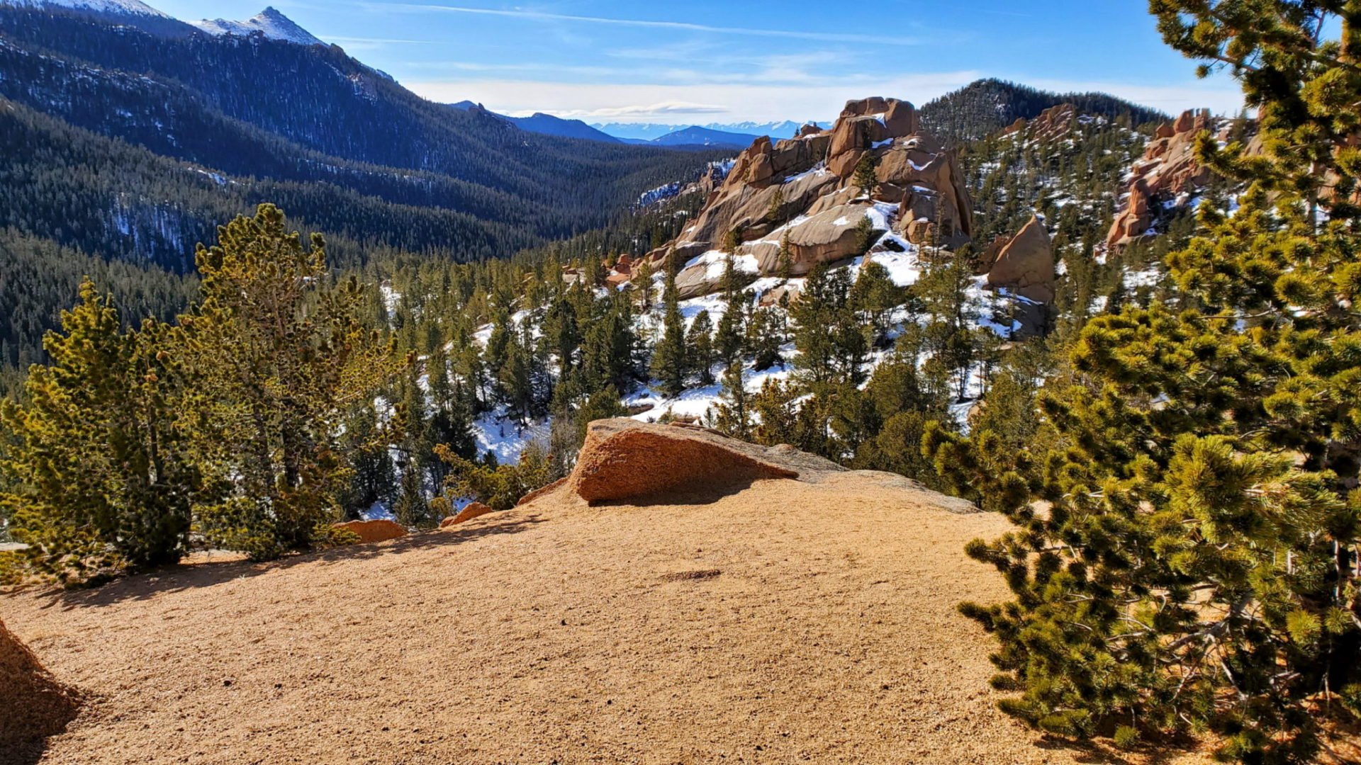
Fantastic views
Fantastic views

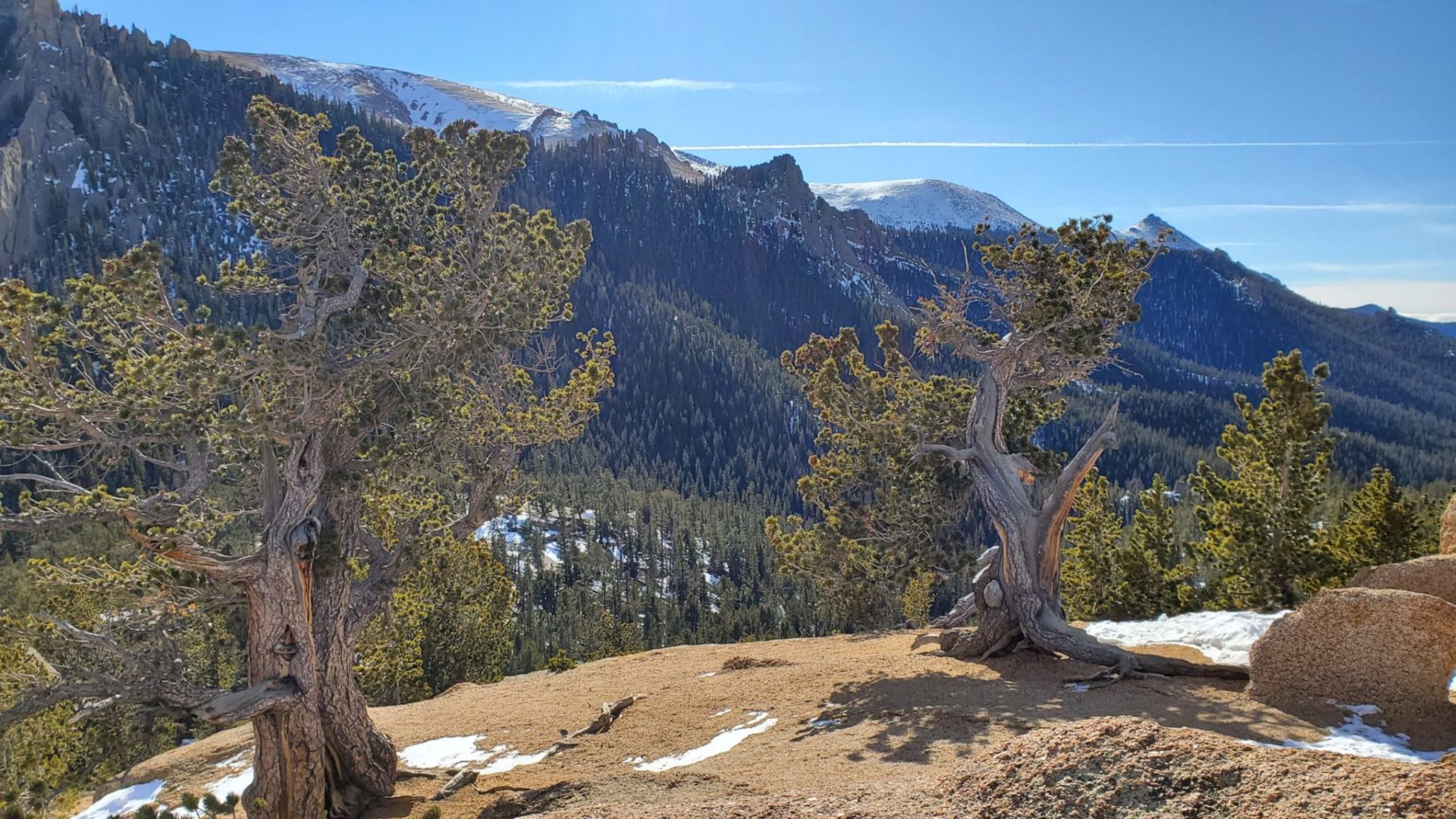
Bristle cone pine trees at least hundreds of years old
Bristle cone pine trees at least hundreds of years old
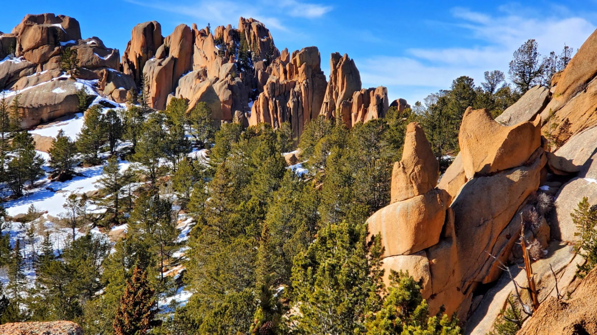
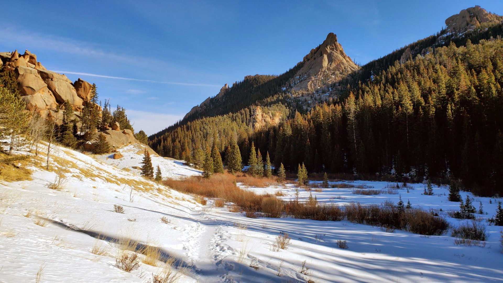
The Crags from the trail
The Crags from the trail
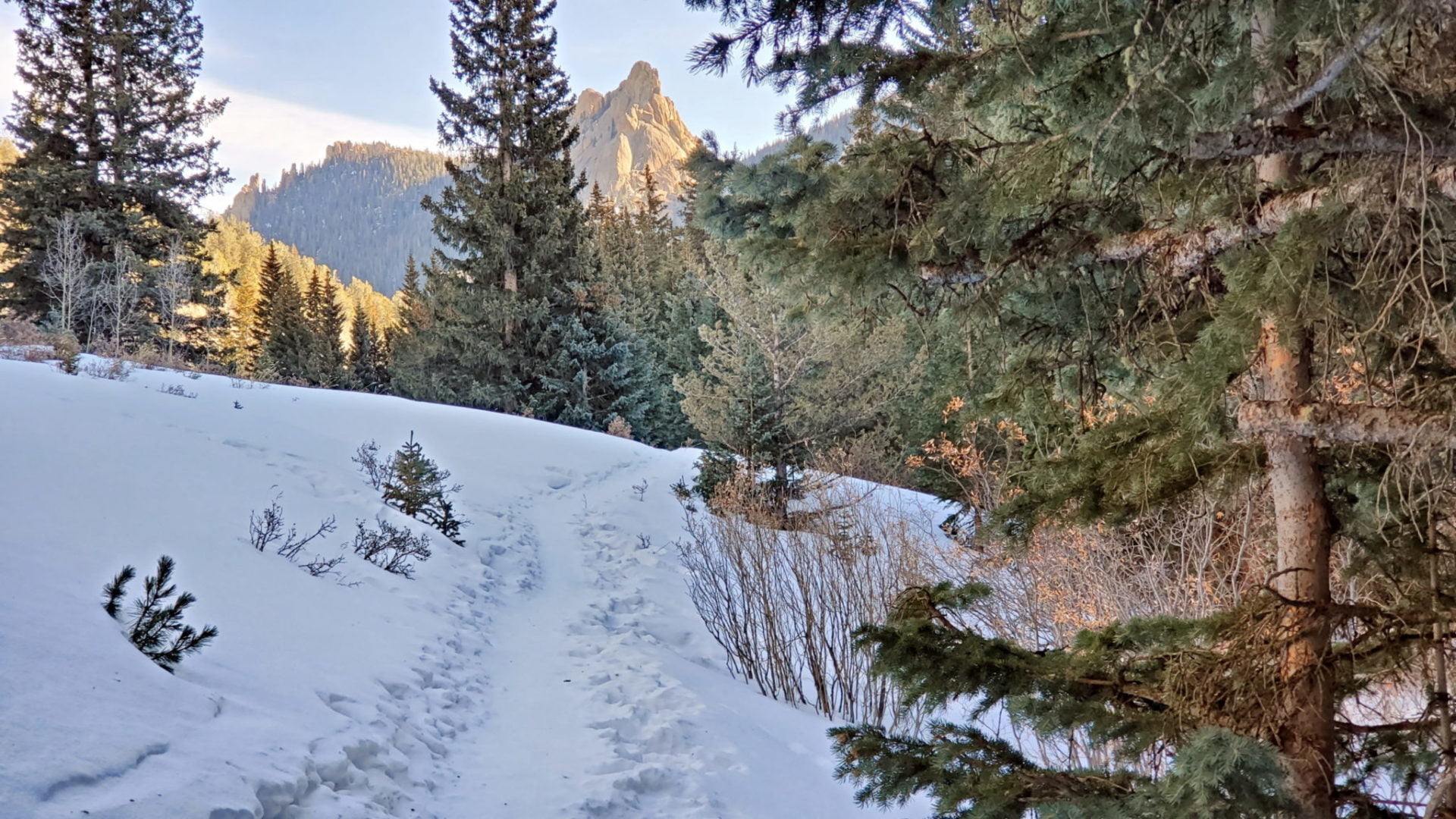
The final section before the rocky summit
The final section before the rocky summit
Following Fourmile Creek east
Following Fourmile Creek east
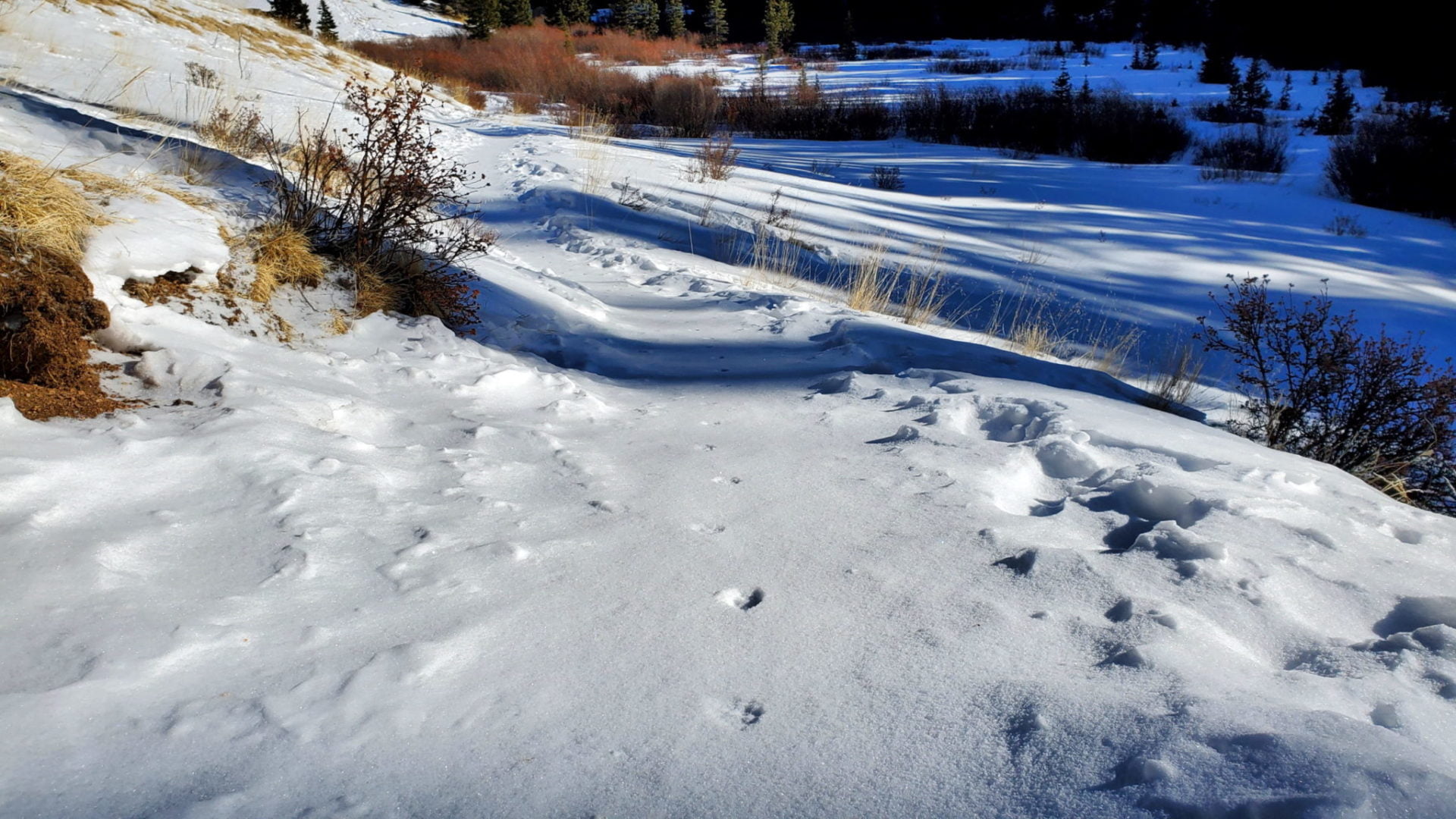
Footprints, maybe a fox?
Footprints, maybe a fox?
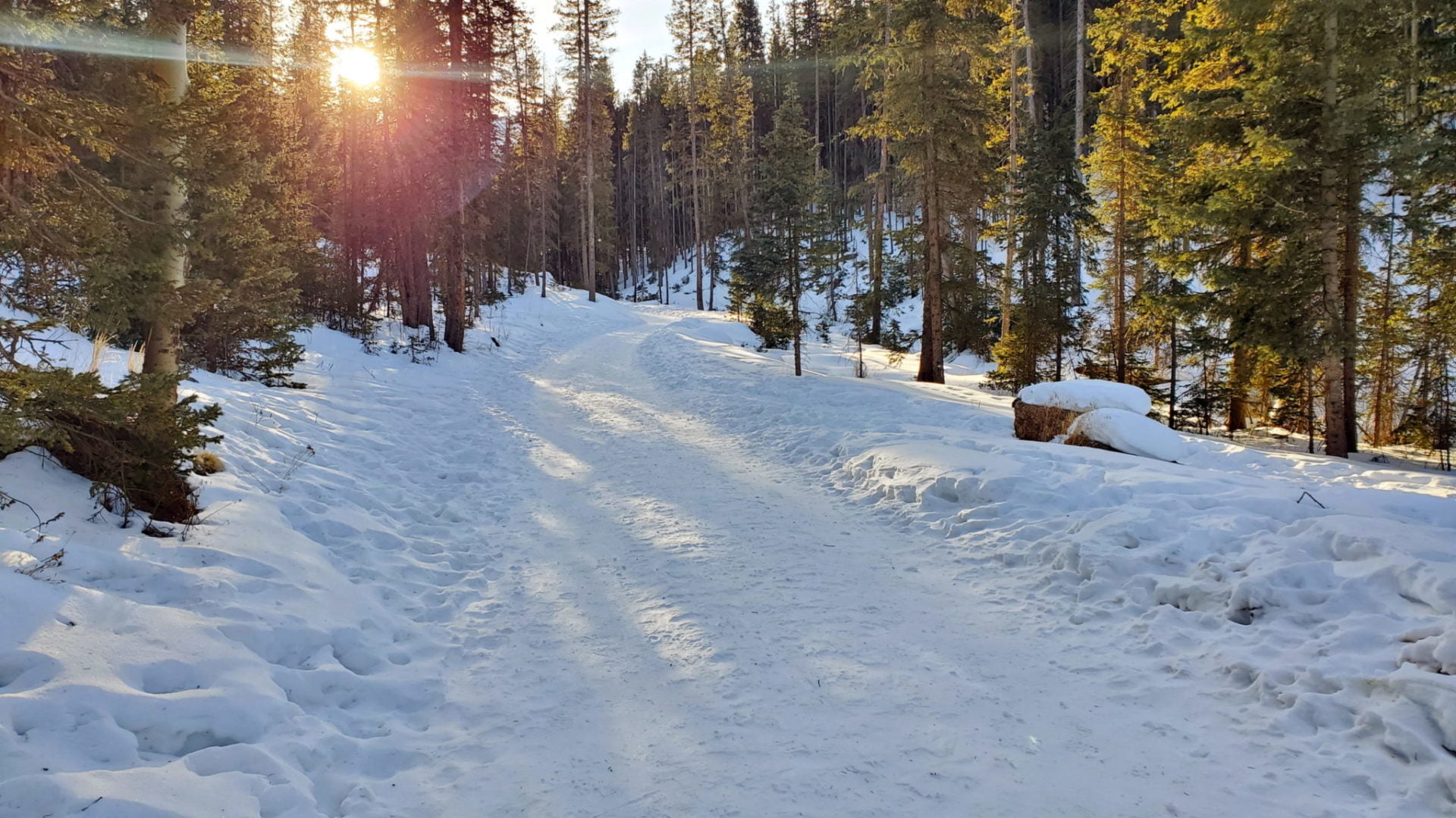
Sunrise along the trail
Sunrise along the trail
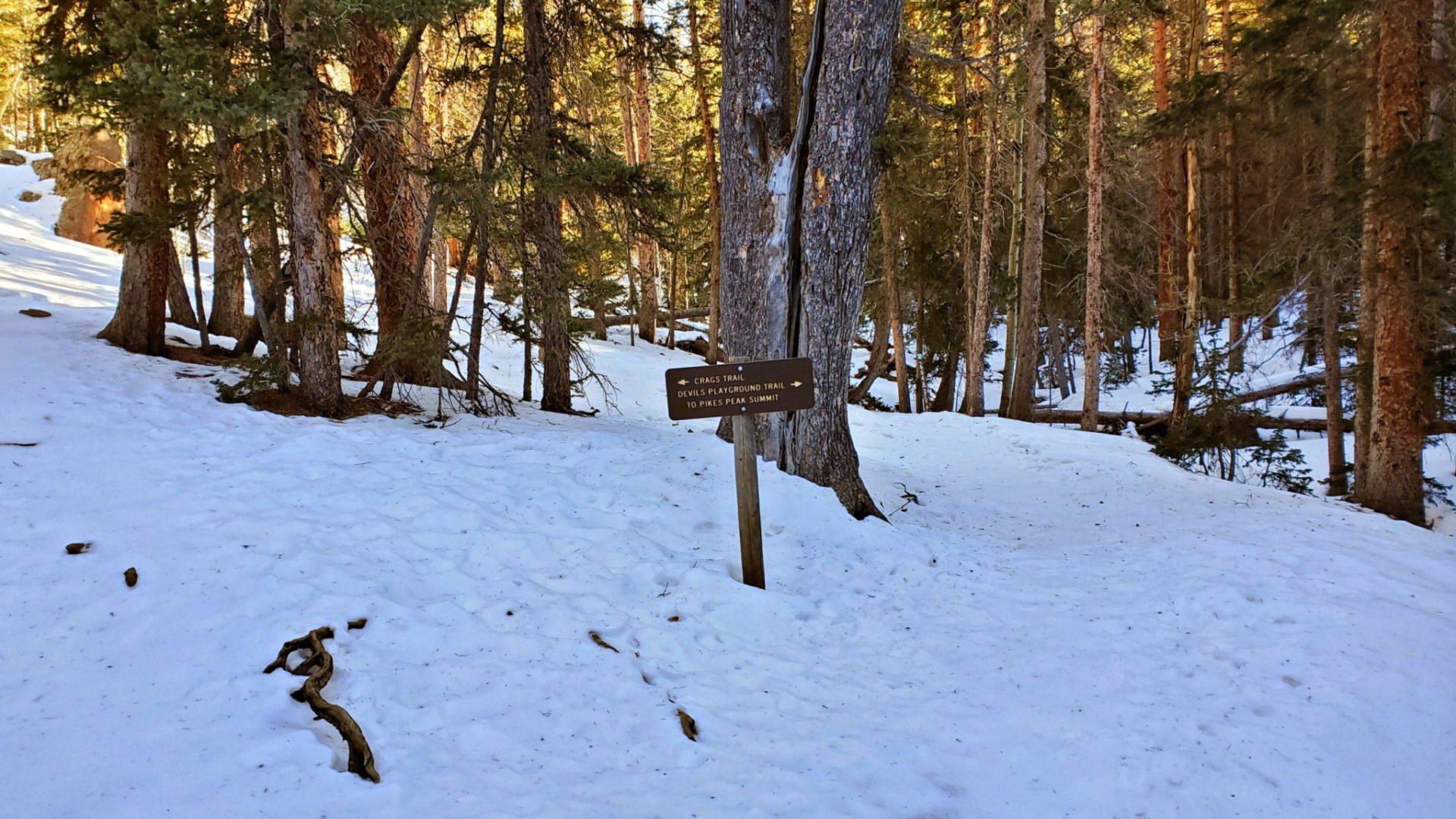
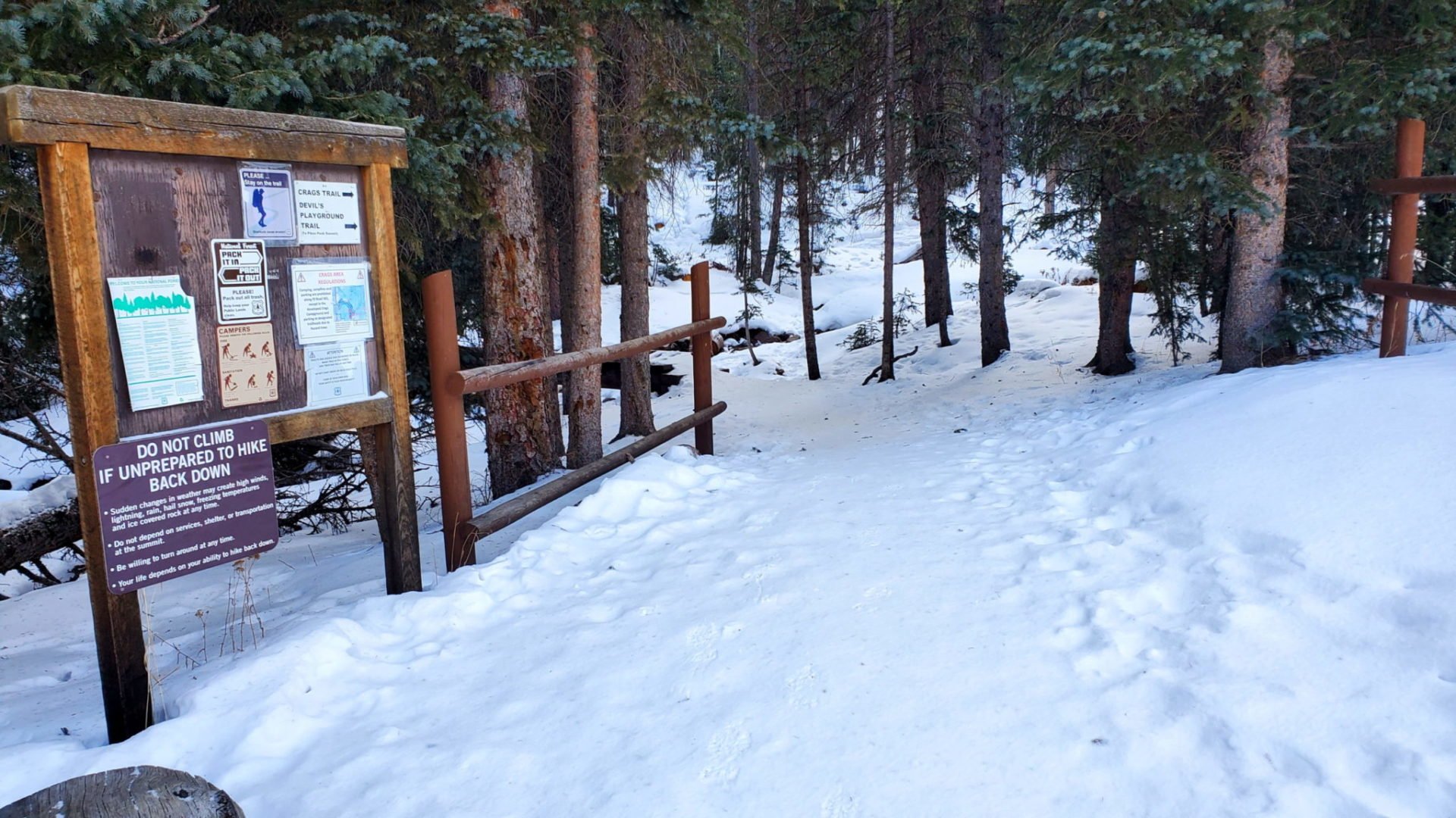
The Crags trail forks to the left
The Crags trail forks to the left
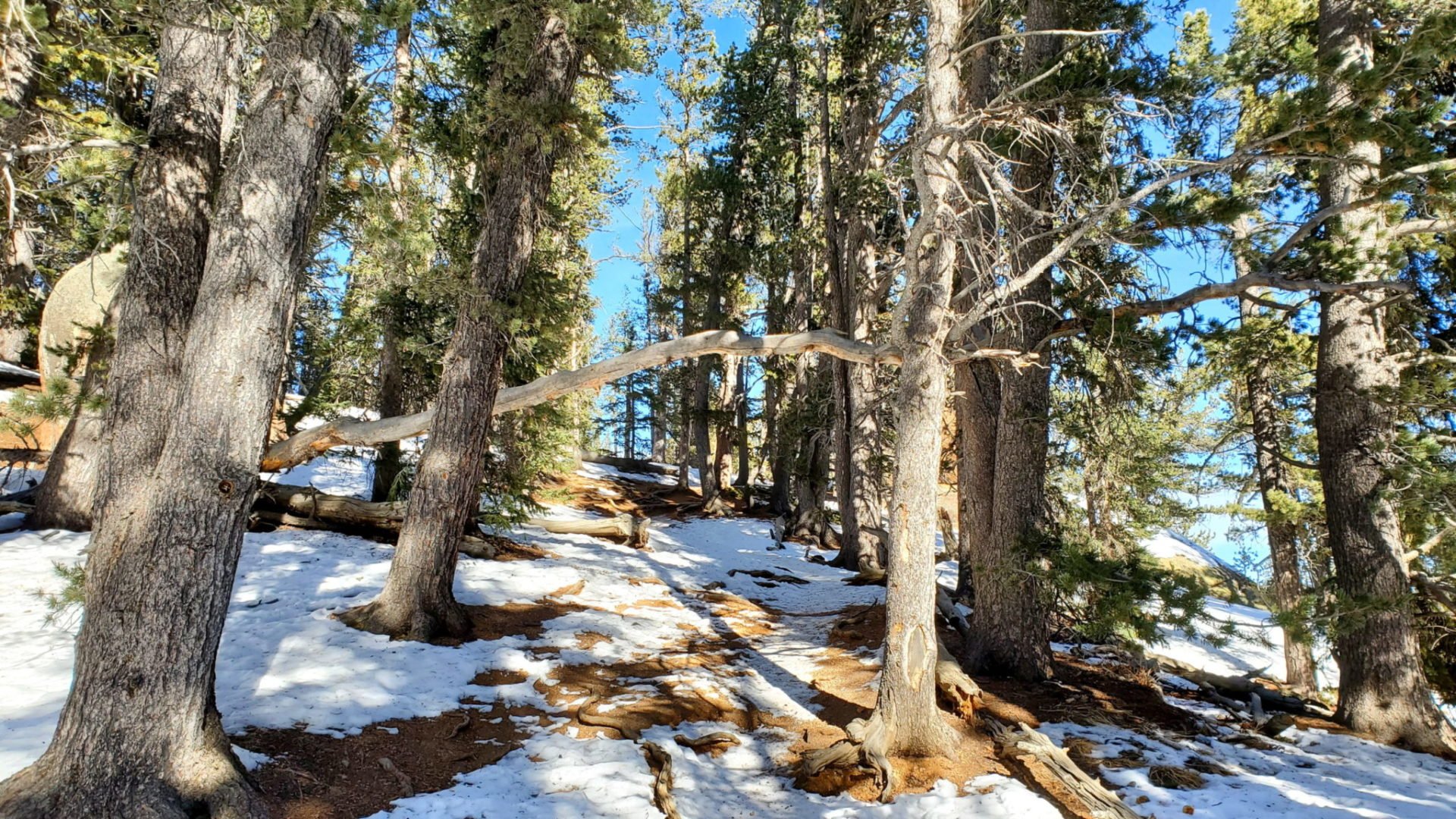
The Crags trail starts in dense forest crossing Fourmile Creek
The Crags trail starts in dense forest crossing Fourmile Creek
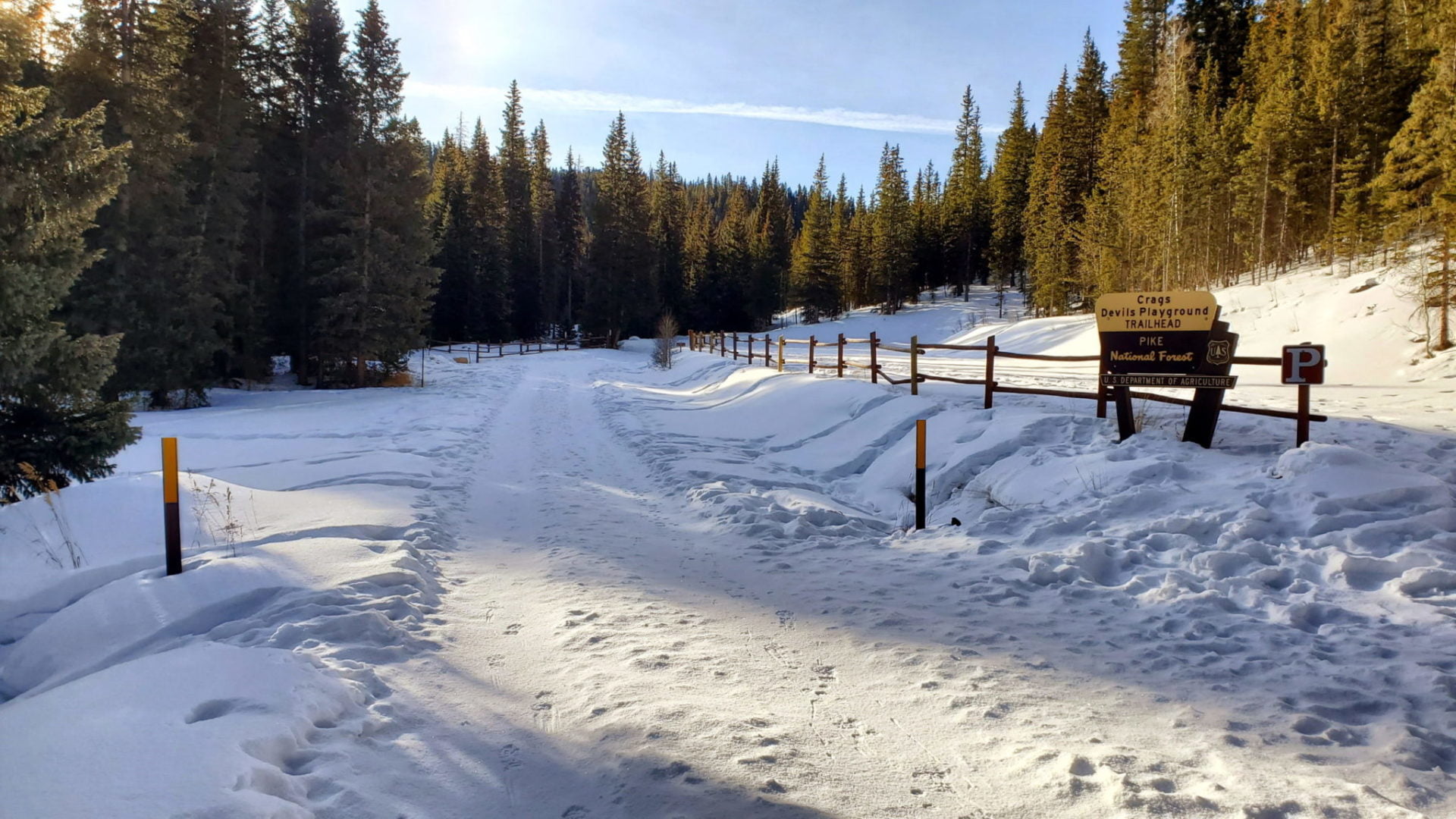
The Crags trailhead
The Crags trailhead
Sunrise along County Road 62
Sunrise along County Road 62

Winter road closure 1.1 miles from the trailhead
Winter road closure 1.1 miles from the trailhead
GPS Route with Elevation
Video Tour
Trail Directions
Take the clear and well-used path over a bridge and through the forest.
After climbing for 1/2 mile you will see the trail junction with the Devil’s Playground #664A, stay to the left on 664 to The Crags.
Continue following Fourmile Creek northeast through a valley. The trail will be wooded at first, but will eventually open up into a meadow with views of rocky cliffs and the rough western flank of Pikes Peak.
During the last 1/2 mile the trail re-enters the forest and gains elevation as it turns north along a small ridge.
The trail ends on the top of a rocky outcropping with excellent views all around.
Trailhead Directions