Mills Lake (9,965′) & Jewel Lake (9,990′), Front Range
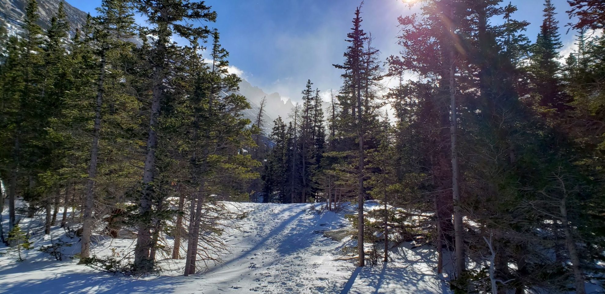
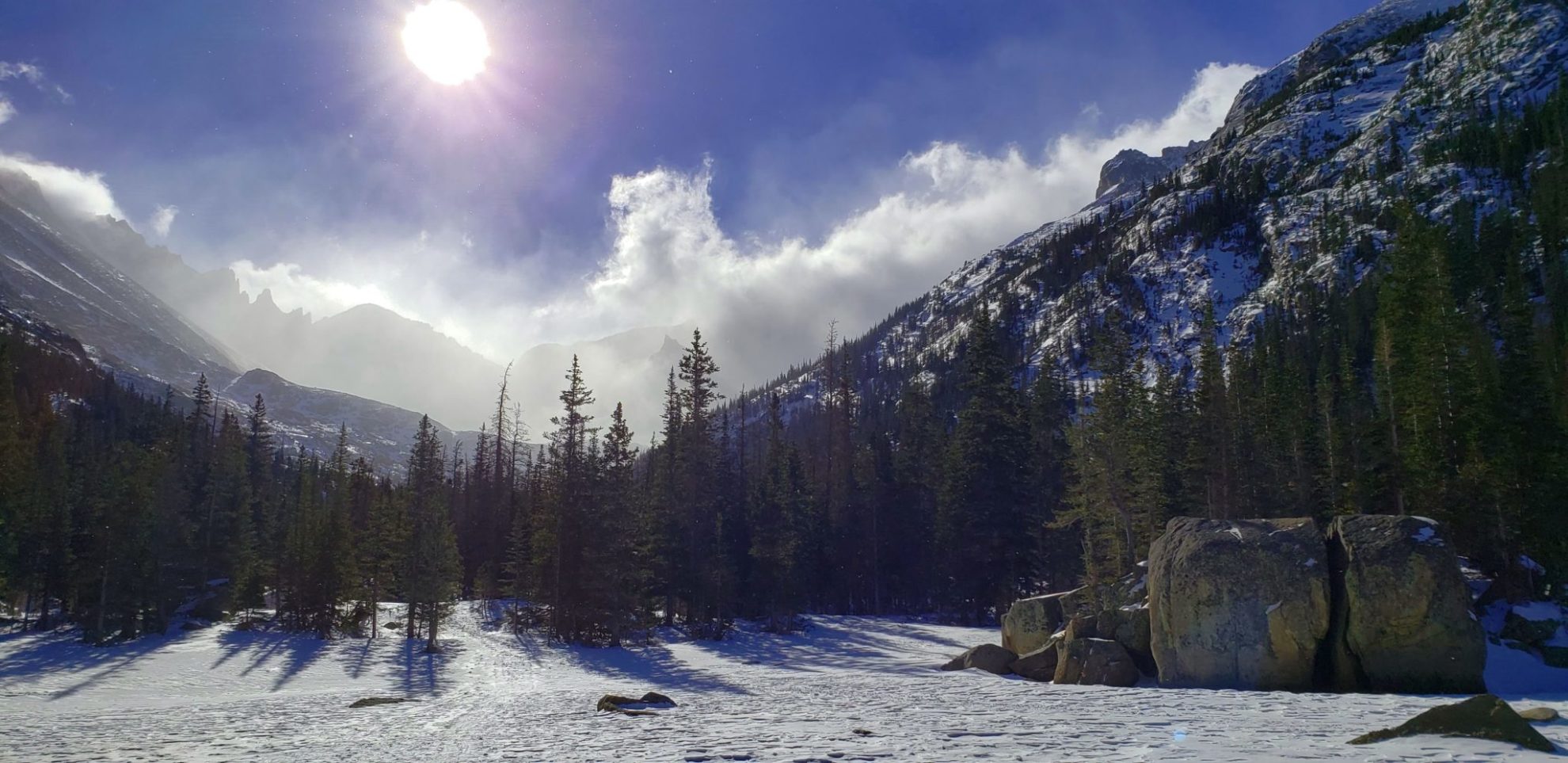
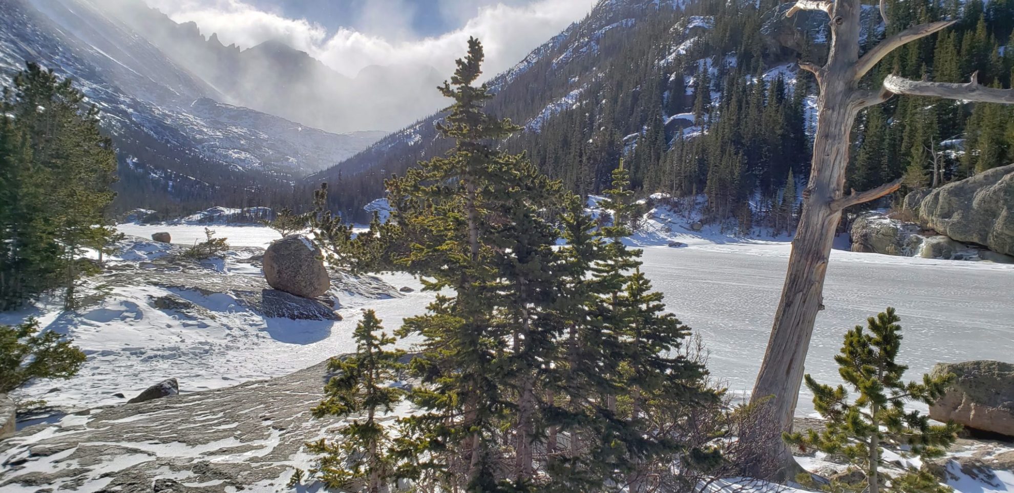
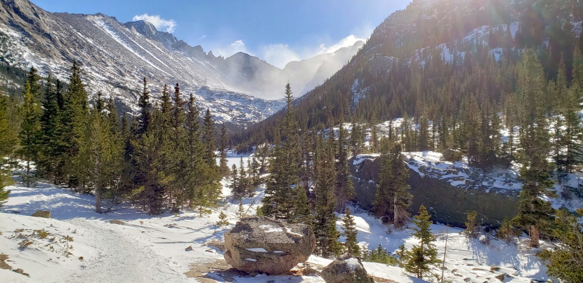
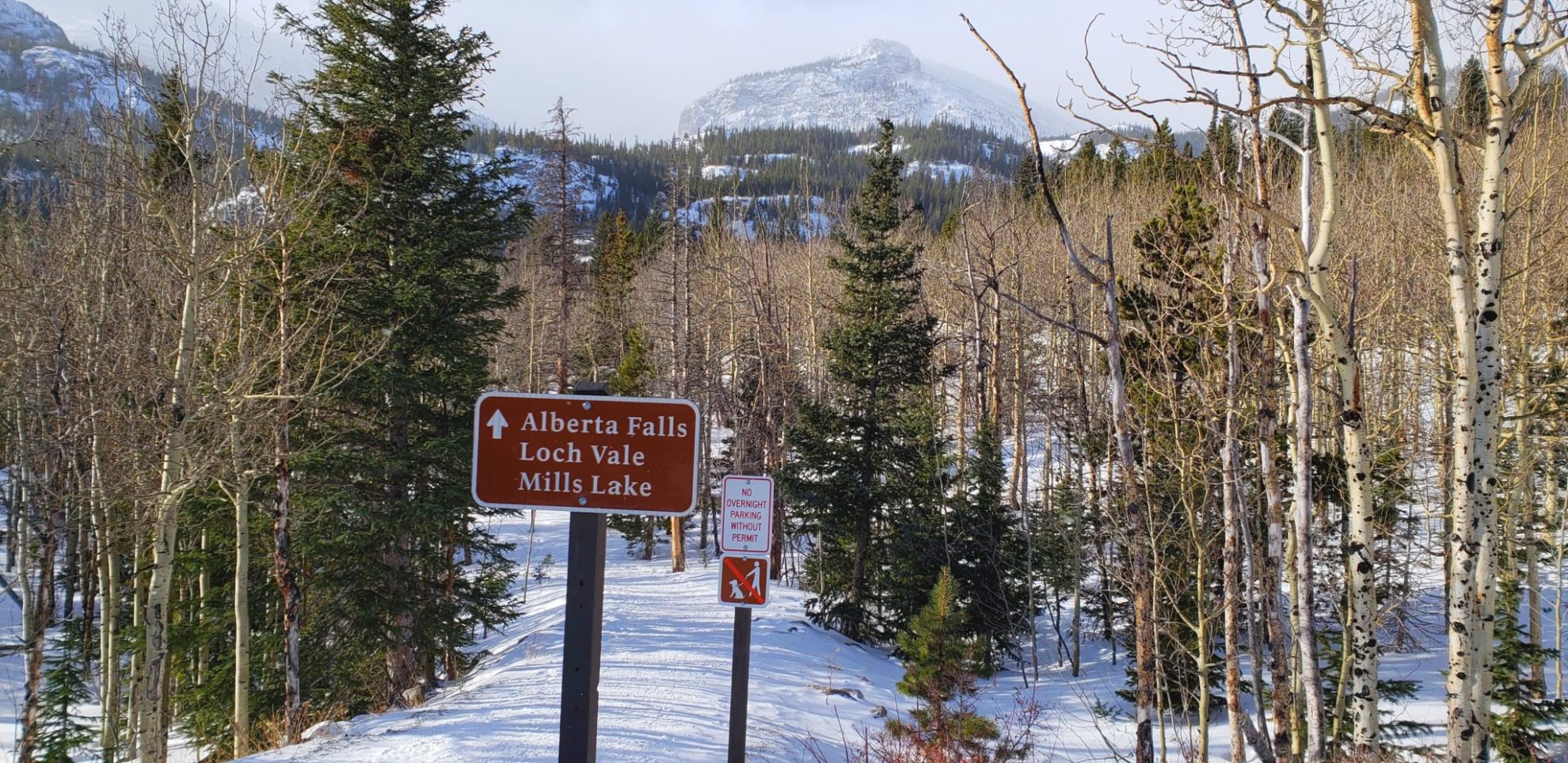
Located within Glacier Gorge in Rocky Mountain National Park, Mills and Jewel Lake provide dramatic views of the surrounding peaks. The Longs peak area is prominently visible from the valley. The summer route initially takes you to Alberta Falls, another popular destination in the park.
Mills Lake is named in honor of Enos Mills (1870-1914), who is considered the father of Rocky Mountain National Park. Inspired and enouraged by John Muir, Enos Mills campaigned to see these mountains in Colorado protected as a national park, a fight he won in 1915.
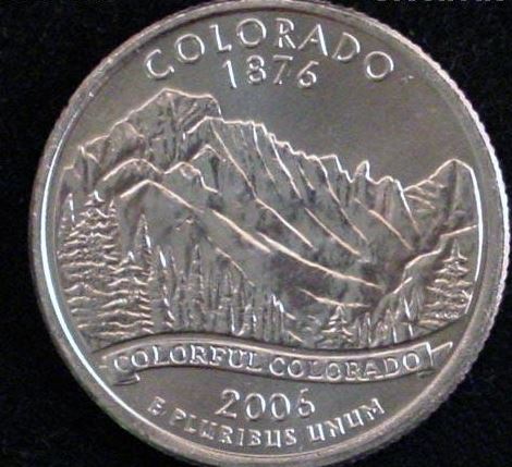
The view from Mills Lake towards Longs Peak is the image used on one side of the 2006 Colorado State Quarter.
Trail Stats
- Trailhead: Glacier Gorge
- Round trip: Jewel Lake 6 miles / 9.6 km
- Elevation: 9,240′-9,990′ / 2,816 m – 3,045 m
- County: Larimer
- Agency: National Park Service
- Nat’l Park: Rocky Mountain
Trail Pictures
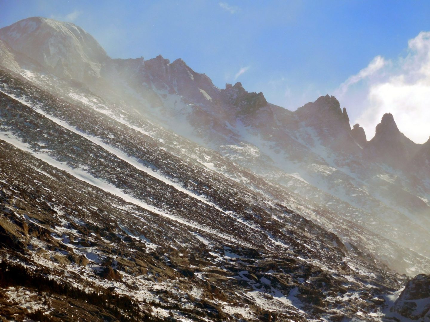
Longs Peak 14,259′, right, with the Keyboard of the Winds
Longs Peak 14,259′, right, with the Keyboard of the Winds
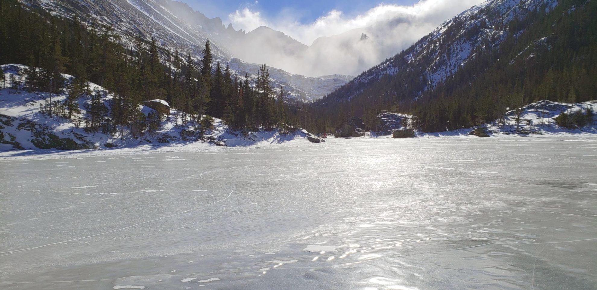
View of Keyboard of the Winds and Storm Peak in the blowing snow
View of Keyboard of the Winds and Storm Peak in the blowing snow
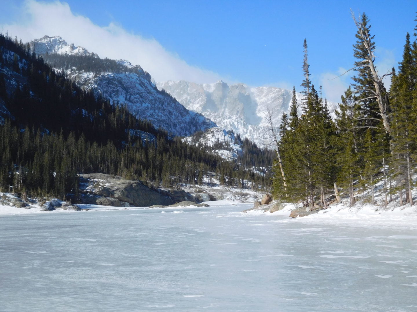
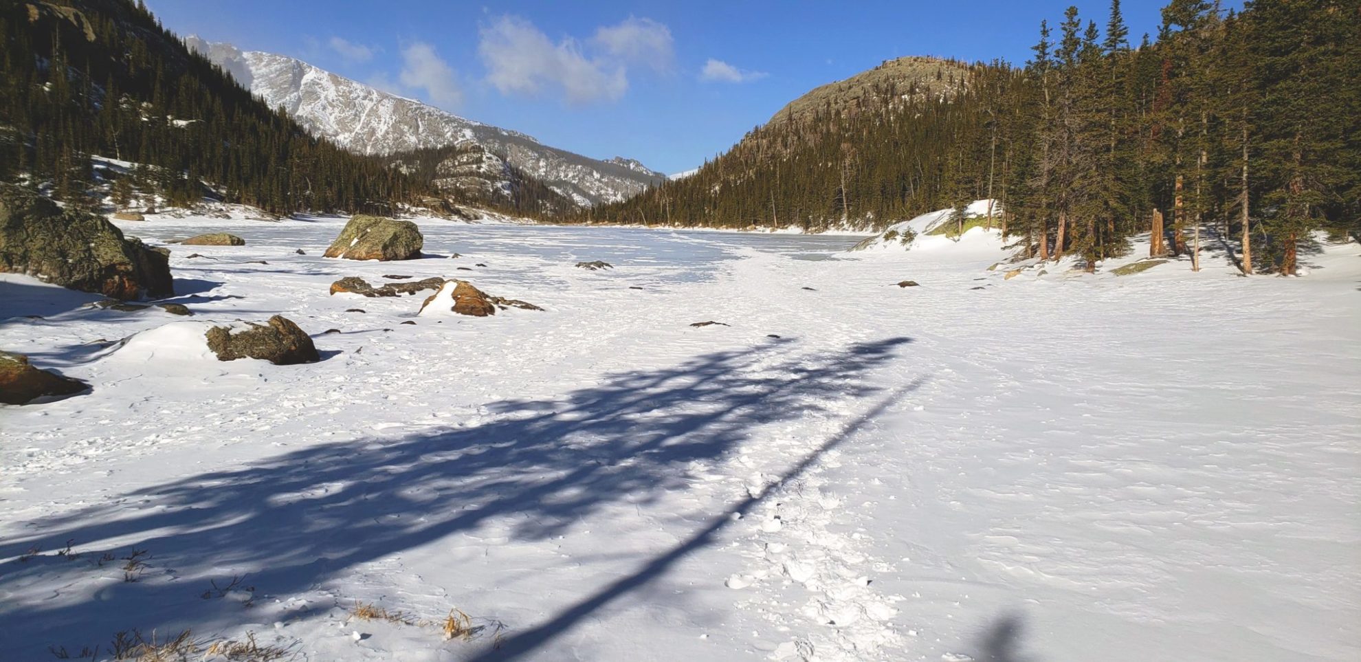
Mills Lake with a small cloud over Longs Peak (left)
Mills Lake with a small cloud over Longs Peak (left)
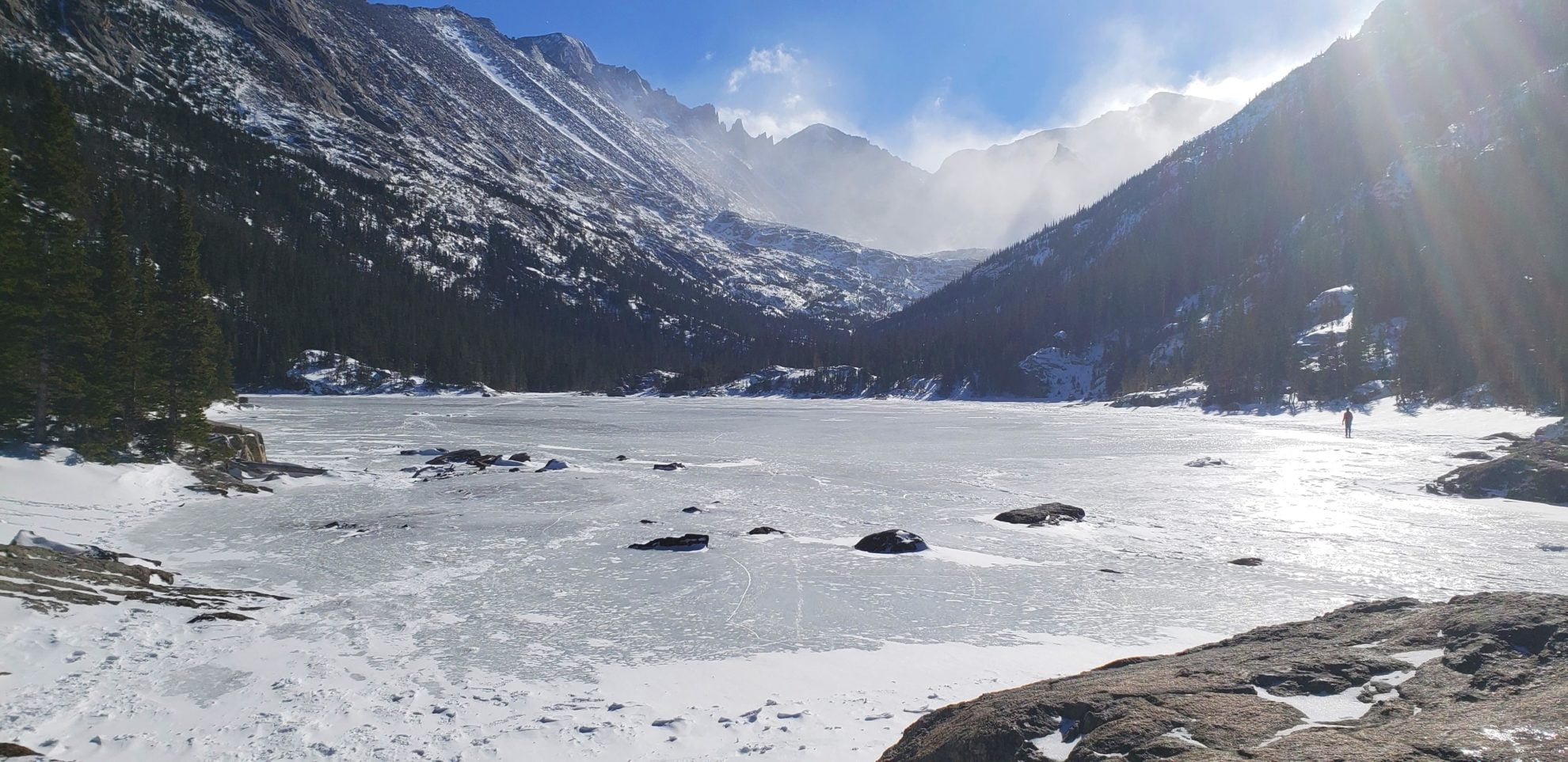
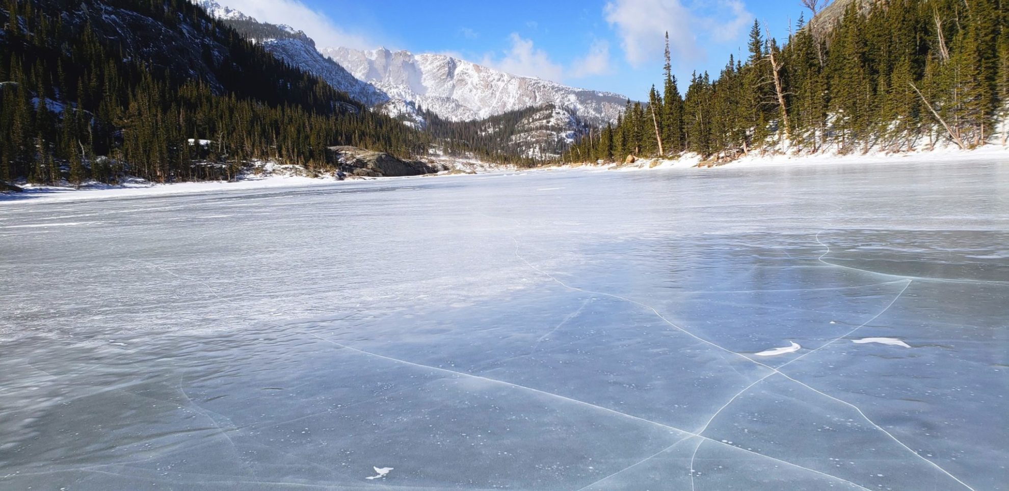
Rising above Mills Lake from left to right – Longs Peak, Keyboard of the Winds, Storm Peak, Spearhead, and Chiefs Head Peak.
Rising above Mills Lake from left to right – Longs Peak, Keyboard of the Winds, Storm Peak, Spearhead, and Chiefs Head Peak.
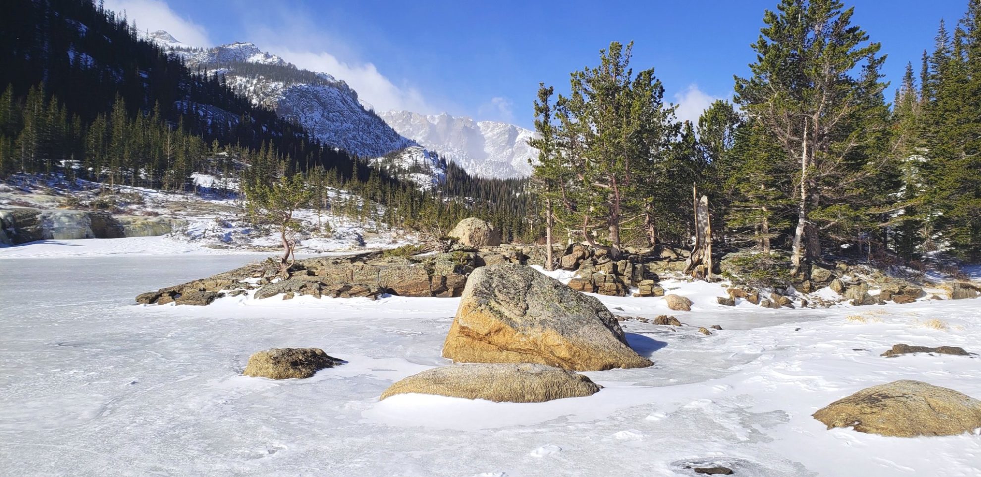
Mills Lake with Storm Peak (left) and Spearhead (right) rising above the blowing snow
Mills Lake with Storm Peak (left) and Spearhead (right) rising above the blowing snow
GPS Route with Elevation
Video Tour
Trail Directions
From Glacier Junction, head south for less than a mile, where you’ll come across Alberta Falls. At 1.6 miles you will arrive at the North Longs Peak Trail junction. To continue on towards your destination turn right here. It’s another 2 miles to Mills Lake from here. Once at the lake it’s another .4 miles to Jewel Lake, most of the distance is walking along the shore of Mills Lake.
Trailhead Directions


