Touring and 4X4
Colorado 4×4 trails and scenic roads are some of the most beautiful routes in the U.S. Whether you have a passenger car and travel over paved roads, or have a 4×4 and want to explore deeper into the backcountry, there are endless possibilities.
Some of our favorite roads and trails are listed below, showcasing the natural beauty of Colorado. A great free resource for finding Colorado 4×4 trails and scenic drives in Colorado is Cotrex. Run by the state of Colorado, the goal is to list all roads and 4×4 trails in the state, with additional information such as closures and restrictions.
Roads
This section lists roads that are suitable for all types of stock vehicles in good weather, and are usually paved.
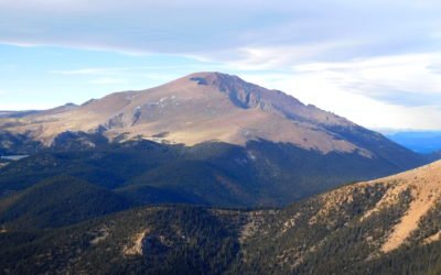
Pikes Peak (14,109′), Front Range
Pikes Peak is the highest summit of the southern Front Range of the Rocky Mountains in North America. The prominent 14,109-foot fourteener is located in Pike National Forest, 12 miles (19 km) west of downtown Colorado Springs, Colorado. The summit is higher than any...
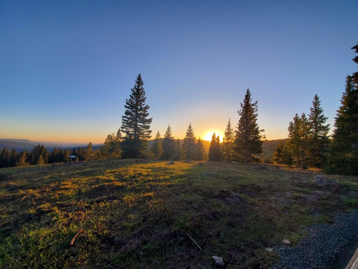
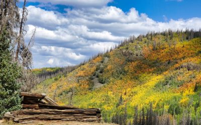
Flat Tops Scenic Byway (10,343′), Flat Tops
Flat Tops Trail Scenic Byway (County Road 8), runs through the northern portion of the Flat Tops Wilderness. The Flat Tops is Colorado's second largest Wilderness, spanning a total of 235,214 acres. Part of the White River Plateau, the wilderness has an average...

Garden of the Gods (6,400′) Front Range
Garden of the Gods is a geologically unique 480 acre park, having one of the most complete and complex exposures of earth's history anywhere in the country. On the outskirts of Colorado Springs, it is popular for hiking, technical rock climbing, biking, and horseback...
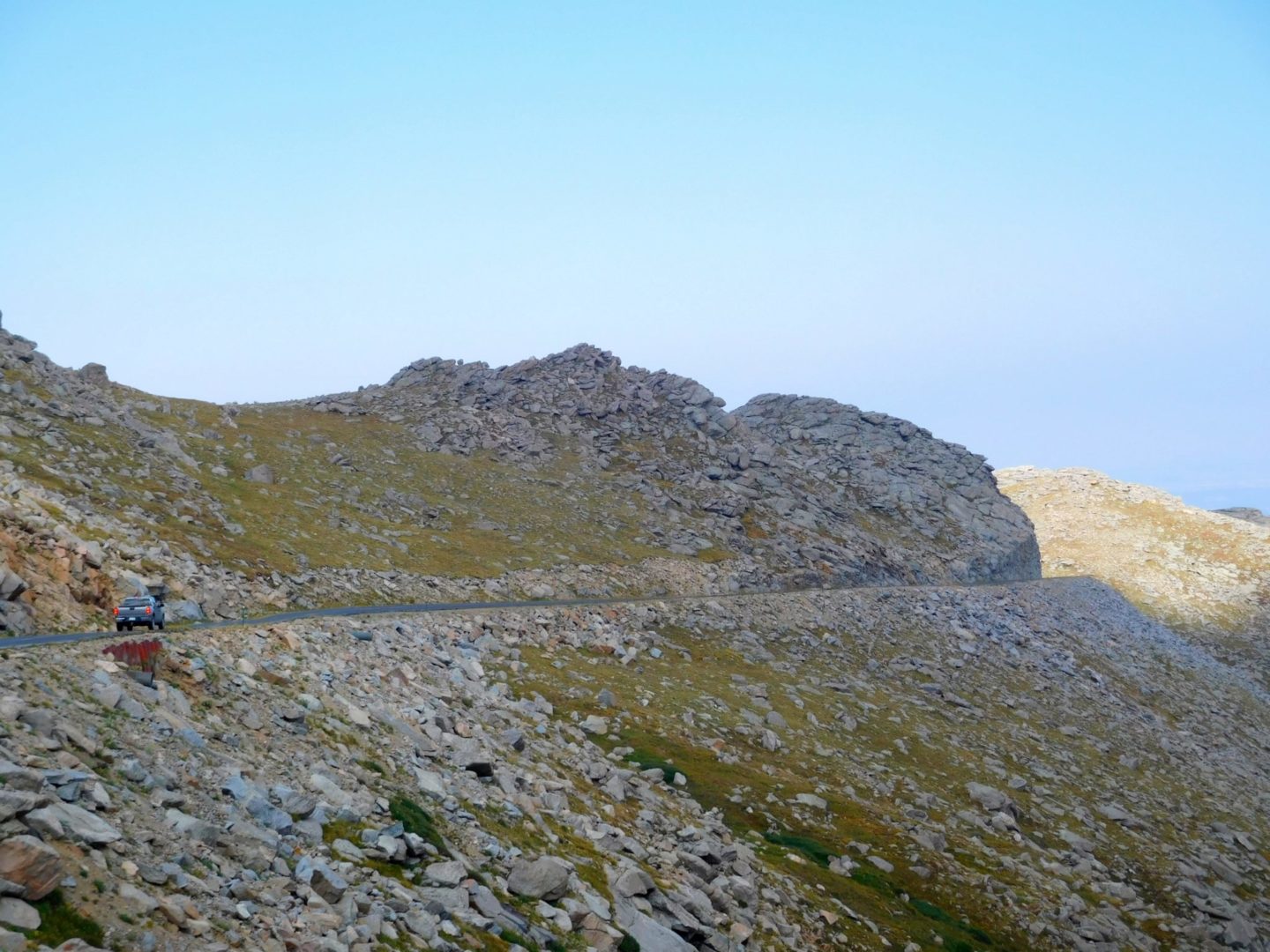
Mt Blue Sky (14,268′), Front Range
Mt Blue Sky can be accessed via the highest paved road in North America, reaching an elevation of 14,138'. The Mt Blue Sky Scenic Byway, maintained by the Forest Service, offers easy access to Colorado’s inspiring high mountain environment. A drive up, and short walk...
4X4 Trails
In order to get a sense of how difficult a trail is, never use pictures as your guide, they are always misleading. This site uses 3 difficulty levels to loosely rate each 4×4 trail included in the trip reports at the time it was traveled. Due to the nature of these trails, difficulty can increase without warning.
Easy Trails
Good choice for beginners. Gravel or natural surface roads with small obstacles.
Rollins Pass (11,671′), Front Range
Rollins Pass is located on the Continental Divide, approximately five miles east of Winter Park, when approaching from the west. The abandoned rail route over the pass was designated a National Register of Historic Places in 1980 because of engineering feats...
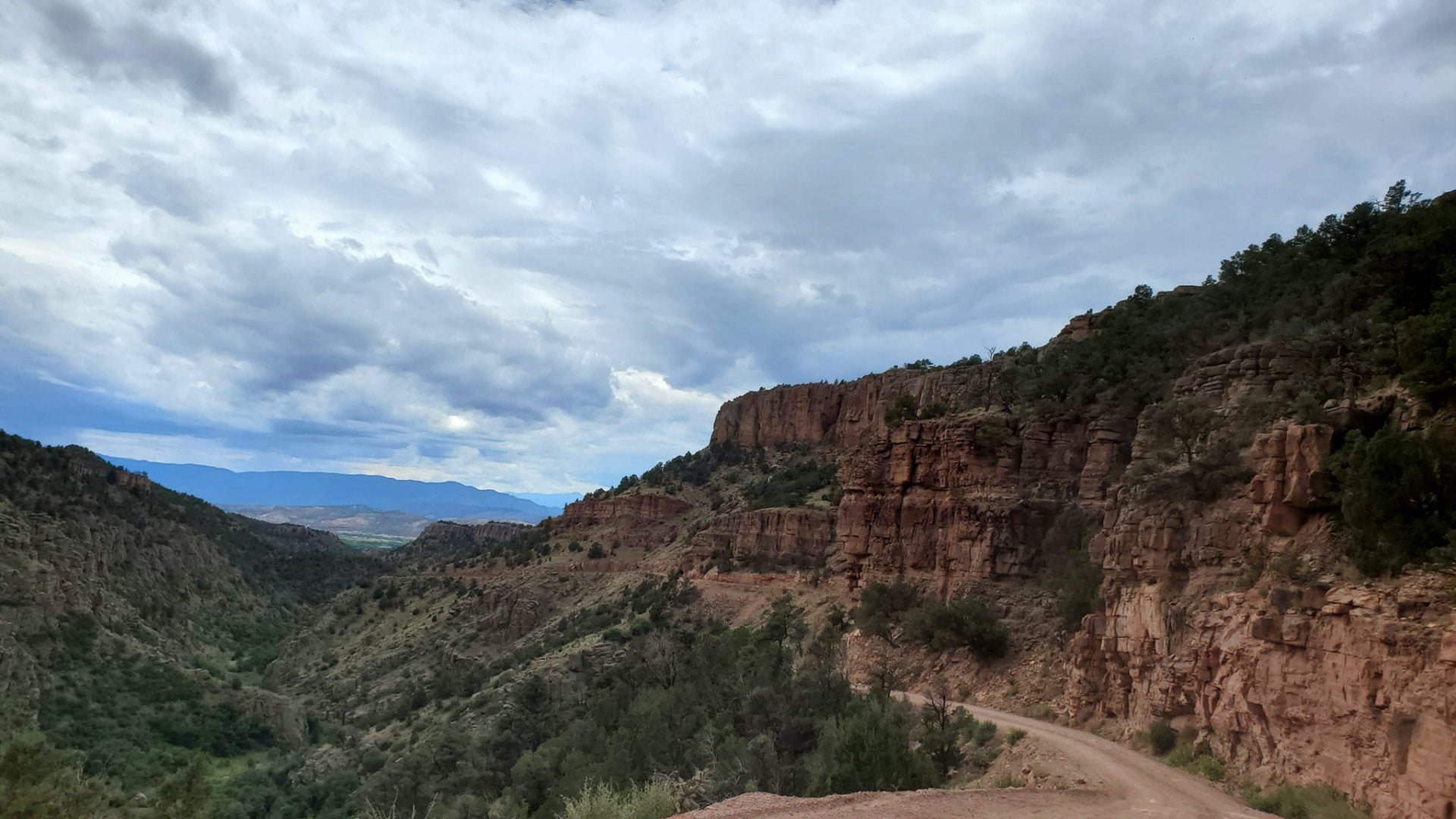
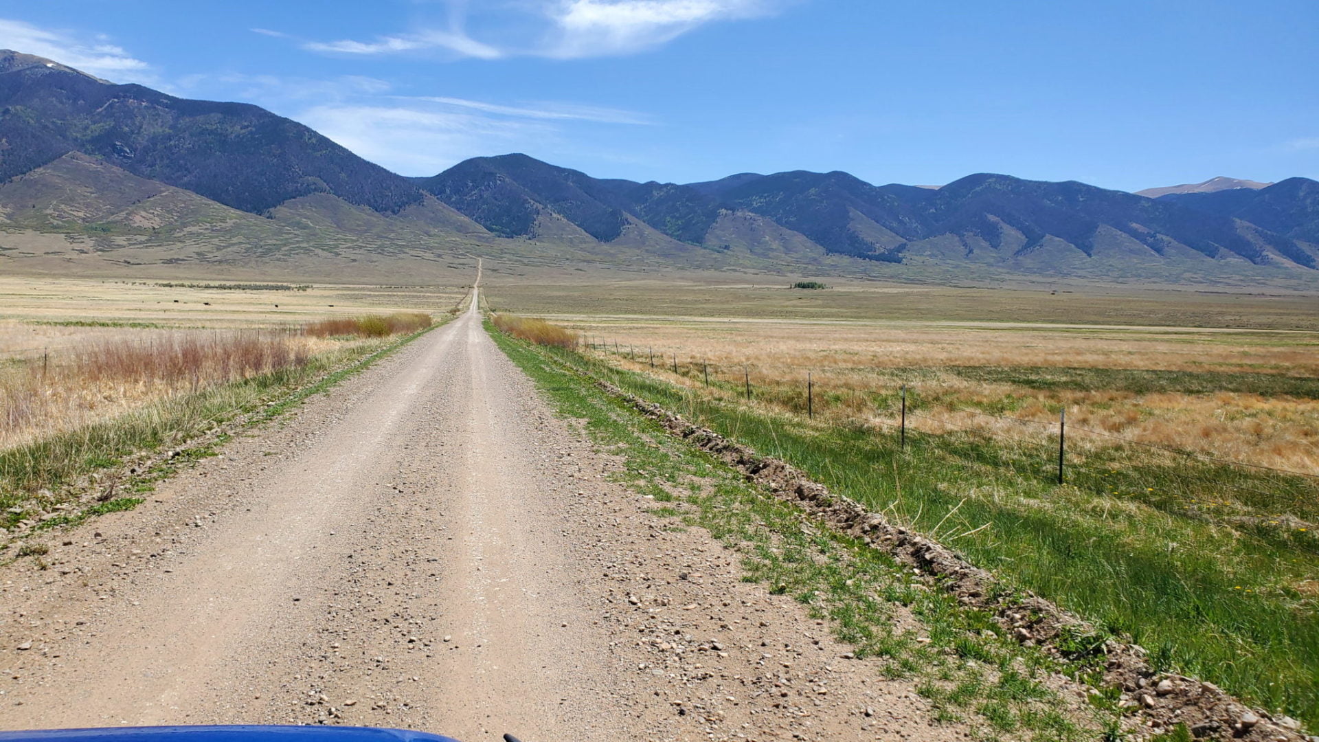
Shelf Road (9,494′), Fourmile Canyon
Shelf Road Gold Belt Tour National Scenic Byway is a dirt road passable with a 2WD vehicle in good weather. It follows the old stagecoach route between Cripple Creek and Cañon City built in 1892. It twists along Fourmile Creek, with long bands of limestone towering...
Moderate Trails
Typically natural surface with no maintenance except for erosion control. Small to moderate obstacles that can sometimes be avoided. Driver with some experience and 4×4 is needed.
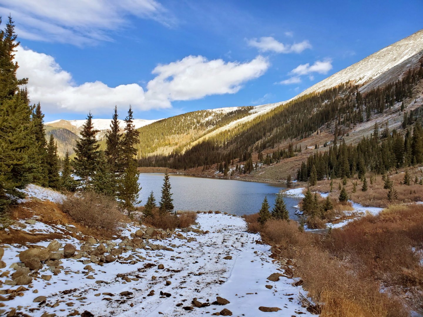
Wager Gulch (12,350′), San Juan Range
The road up Wager Gulch (high-clearance 4-wheel drive vehicle recommended), leads to the remnants of the abandoned mining town of Carson, on the way up to the Continental Divide and beyond. Founded in 1889, Carson reached its peak at the turn of the century when some...
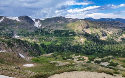
Alpine Loop (12,800′), San Juan Range
The Alpine Loop Backcountry Byway is a rugged 4x4 road that winds through the spectacular scenery of the San Juan Mountains, connecting Lake City, Silverton, and Ouray. The loop traverses passes up to 12,800 feet while showcasing old mines, ghost towns, natural...
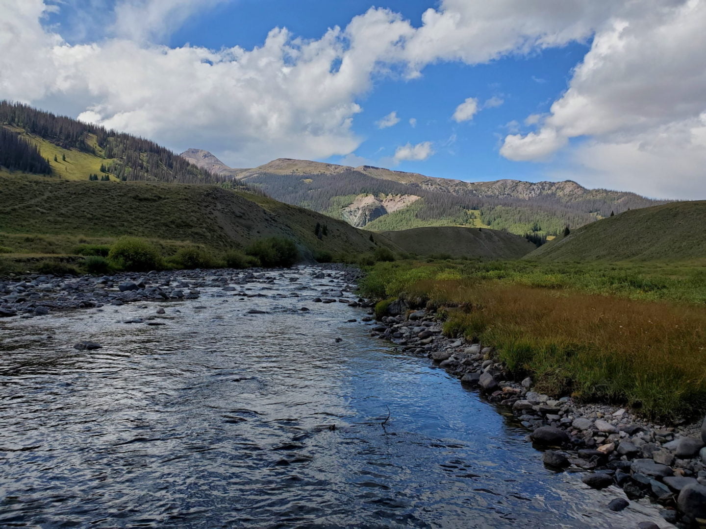
Stony Pass (12,592′), San Juan Range
Stony Pass Rd crosses the Continental Divide and follows small streams that make up the headwaters of the Rio Grande River. The road was created in 1872 to connect the area’s mining operations in Silverton to the town of Del Norte. The Continental Divide Trail crosses...
Hayden Pass (10,709′), Sangre de Cristo Range
Hayden Pass road crosses the Sangre de Cristo Mountains between Villa Grove in the west, and Coaldale to the east. The road is most challenging and scenic when started from Villa Grove, on the southwest side. With grades up to 20%, great views of the San Luis valley...
Tincup Pass (12,154′), Sawatch Range
Tincup Pass gets its name from prospector Jim Taylor, who in 1860 brought his gold strike back to camp in his tin cup. The pass was used to move supplies between St. Elmo and the town of Tin Cup starting in 1881, when a wagon road was built. The views and hiking...
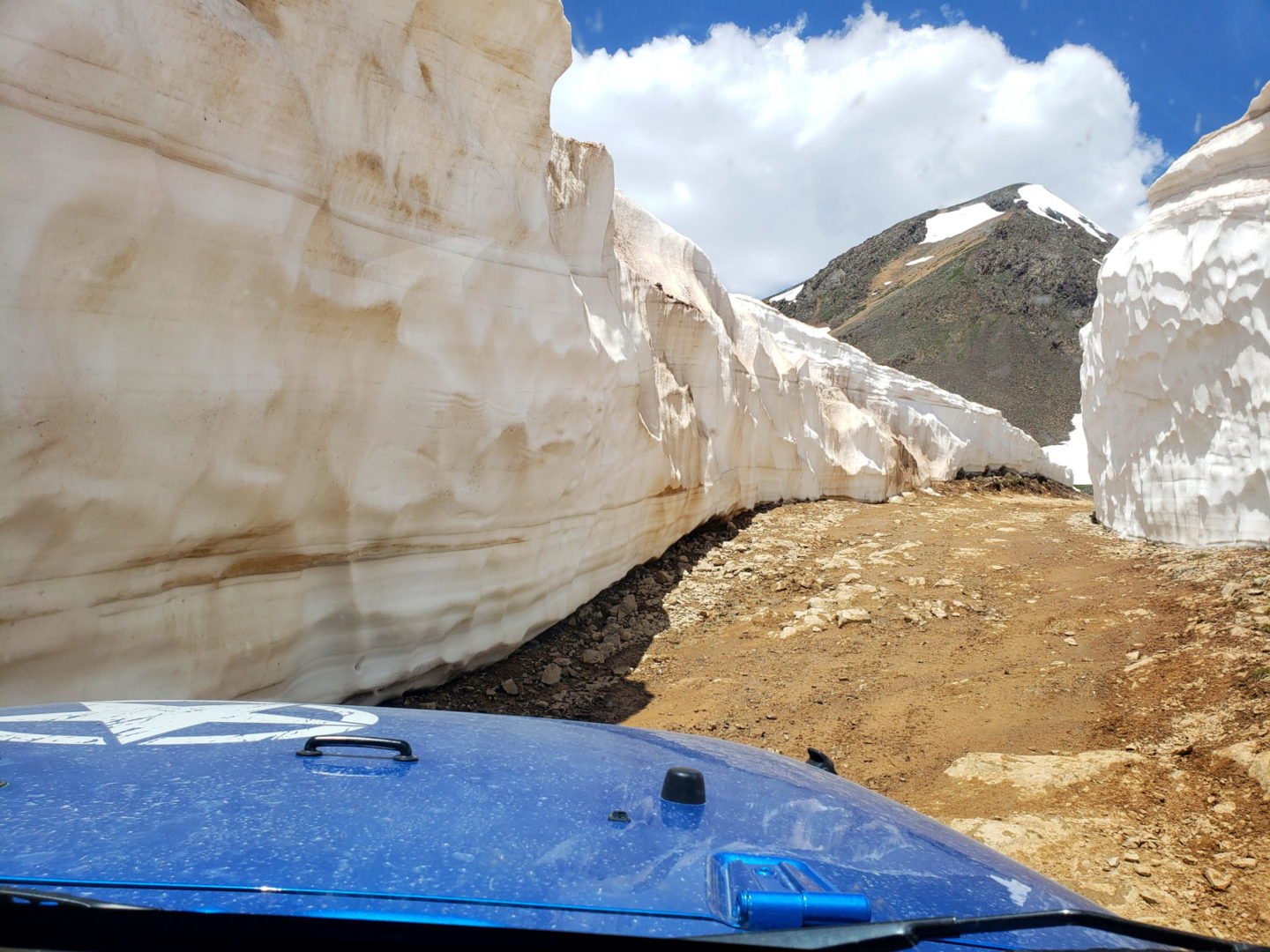
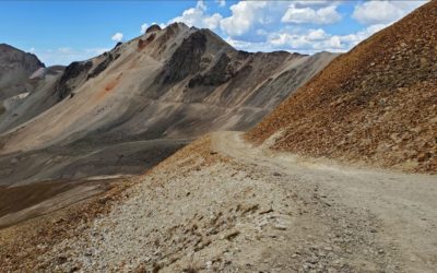
Hurricane Pass (12,730′) and California Pass (12,960′), San Juan Range
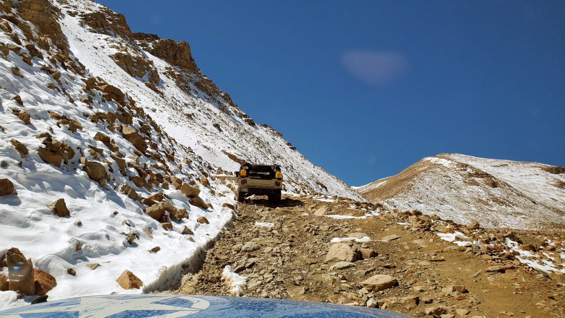
The National Water and Climate Center reported that the SWE (snow water equivalent) for the San Juan Mountains, including Hurricane Pass and California Pass, in May of 2019 was 728% above normal. It was such a heavy snow year that most of the back country at higher...
Difficult Trails
Natural surface with no maintenance except for erosion control. Moderate obstacles requiring you to pick a safe path. Modified vehicle and experienced driver recommended.
Argentine Pass (13,207′), Front Range
Argentine Pass is the highest named vehicle-accessible pass in Colorado. Vehicle travel is only possible on the Georgetown side of the pass (during the summer months) by a four-wheel drive vehicle with high-clearance. The trail on the Horseshoe Basin side is only...
Mosquito Pass (13,185′), Mosquito Range
Mosquito Pass was built to connect the towns of Alma to the east, with Leadville to the west. It is the highest crossable vehicle mountain pass in the U.S. outside of Alaska. While there are higher vehicle passes, they are all out and back. The trail crosses the...

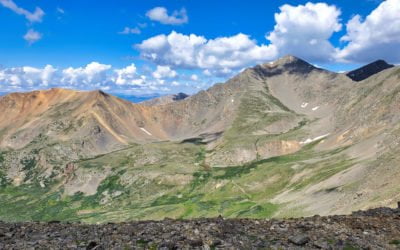
Mt Antero Rd (13,800′) , Sawatch Range
Mt Antero is one of only a handful of 14,000' peaks that has a road that travels to within a short distance of the summit. The road up the mountain is difficult, rough and rocky, requiring four-wheel drive, eventually topping out at 13,800'. From the end of the road...