The trail features three lakes: Naylor Lake (11,378′), Silver Dollar Lake (11,972′), and Murray Lake (12,178′). The trail climbs a bit over 1,000 ft in elevation over the course of 4.1 miles.
The trail is a well maintained out and back leaving little room to get lost unless it is snow covered. You climb through the forest, eventually breaking treeline once past the first lake (Naylor Lake). This lake is private, with no access, but provides a nice view from the trail. The trail then runs right along the shore of Silver Dollar Lake, before climbing steeply to Murray Lake.
Murray Lake outlet flowing into Silver Dollar Lake
Murray Lake outlet flowing into Silver Dollar Lake
20240829_122529
20240829_124753
GPX with Elevation
Video Tour
Trail Directions
Silver Dollar Lake trail is located off Naylor Lake Rd, which is right offGuanella Pass. Guanella Pass is a high elevation mountain pass that connects the towns of Georgetown and Grant. You’ll drive up 0.7 miles on Naylor Lake Rd until you come across a small dirt parking lot (and the trailhead is right at this lot.
The trail is a well maintained out and back leaving little room to get lost unless it is snow covered. You climb through the forest, eventually breaking treeline once past the first lake (Naylor Lake). This lake is private, with no access, but provides a nice view from the trail. The trail then runs right along the shore of Silver Dollar Lake, before climbing steeply to Murray Lake.
Lost Lake is an alpine lake surrounded by the majestic mountains of the Indian Peaks Wilderness. It’s a perfect destination for a day trip. The lake’s crystal-clear waters are a popular spot for fly fishing. Keep an eye out for a glimpse of moose, which are commonly seen along the trail
Lost Lake is located just outside of the Indian Peaks Wilderness Area, therefore, wilderness regulations do not apply. You may camp without a permit in one of the established camping spots. You may also bring your dog, a leash is required.
Deep snow covering a bridge, with only a handrail visible.
Deep snow covering a bridge, with only a handrail visible.
Trail conditions
Trail conditions
The trail runs mostly through dense forest but opens up for this view.
The trail runs mostly through dense forest but opens up for this view.
Hiking in the early morning while the snow is still frozen, which can support me without snowshoes.
Hiking in the early morning while the snow is still frozen, which can support me without snowshoes.
First glimpse of Lost Lake
First glimpse of Lost Lake
View from the north shore.
View from the north shore.
View from the south shore of Lost Lake
View from the south shore of Lost Lake
GPX with Elevation
Video Tour
Trail Directions
From the Hessie Trailhead, cross the footbridge and take the Devil’s Thumb Trail (#902), which climbs steeply for about a 1/2 mile on an old road. Do not take the Devil’s thumb Bypass, which turns right (north) in 0.9 miles, just before the bridge. Instead, cross the bridge and stay on the main Devil’s Thumb Trail.
It is 1.1 miles from the trailhead to the Lost Lake Trail junction. Turn left (south) following signs for Lost Lake Trail #813. The lake is up another 1/2 mile on a good trail.
Located within the James Peak Wilderness area, this hike offers a well established trail to the summit. The trailhead at Berthoud Pass also provides convenient access to the trailhead all year because the pass is plowed in winter. As you ascend, you’ll traverse a section of the Continental Divide Trail (CDT), which stretches from Mexico to Canada and offers breathtaking panoramic views of the surrounding peaks and valleys. The final push to the summit greets you with a 360-degree vista encompassing the Indian Peaks, Winter Park, and the Fraser Valley.
View of Brekinridge Peak from the summit of Mt Flora
View of Brekinridge Peak from the summit of Mt Flora
Another view from the summit of Ethel Lake and Byron Lake in the distance
Another view from the summit of Ethel Lake and Byron Lake in the distance
View from the summit of Ethel Lake and Byron Lake in the distance
View from the summit of Ethel Lake and Byron Lake in the distance
View from the Continental Divide
View from the Continental Divide
View of My Eva (left) and Witter Peak
View of My Eva (left) and Witter Peak
Summit view with Colorado Mines Peak on the left below
Summit view with Colorado Mines Peak on the left below
More views near the summit
More views near the summit
View back of the Mt Flora trail
View back of the Mt Flora trail
Blue Lake and Colorado Mines Peak from the trail
Blue Lake and Colorado Mines Peak from the trail
The CDT near Berthoud Pass
The CDT near Berthoud Pass
GPX with Elevation
Video Tour
Trail Directions
Beginning at the Berthoud Pass Parking Lot, the trail begins just beyond the gate to the forest road at the south end of the parking lot. The road is the trail for the first 3/4-mile, where a junction appears on the left at a sharp curve.
Taking this foot-path for another 3/4-mile brings the trail to the ridge overlooking Blue Lake, and looking back right (south), nearly eye-level with Colorado Mines Peak.
Continuing along for approximately 1.5 miles, the trail tops Mt. Flora peak, a small but broad mesa-like rock crop. From here, Ethel Lake and Mill Creek stand out below in the valley. The Continental Divide Trail veers to the right from the summit to descend to Breckenridge Peak.
From the east, access to Arapaho Pass can be found along a rough 2WD road that provides access to the Fouth of July Trailhead. The trail begins in dense forest with wonderful fields of wildflowers blooming in the summer months. For part of the hike to the top of the pass, the trail follows an old stage-coach road. It also passes the remains of the Fourth of July Mine near treeline. Miners dug silver ore from the Fourth of July Mine in the late 1800s. In the early 1900s they switched over to searching for copper. Over the 300-foot mine shaft once stood a timber head frame, where miners and equipment were lowered into the main tunnel, which was over a mile long. At the top, Arapaho Pass sits on the famous Continental Divide that runs through the Colorado mountains.
The trail is ovious all the way to the top of the pass
The trail is ovious all the way to the top of the pass
Wildflowers still in bloom in mid August
Wildflowers still in bloom in mid August
Crossing a waterfall along the trail.
Crossing a waterfall along the trail.
View from the Aprapaho Pass trail
View from the Aprapaho Pass trail
Southwest view from the trail.
Southwest view from the trail.
View back to the 4th of July trailhead.
View back to the 4th of July trailhead.
View back into the North Fork, Middle Boulder Creek drainage from the top of the pass.
View back into the North Fork, Middle Boulder Creek drainage from the top of the pass.
View of Mt Neva from the top of the pass.
View of Mt Neva from the top of the pass.
Satanta Peak with Caribou Lake on the west side of the Continental Divide.
Satanta Peak with Caribou Lake on the west side of the Continental Divide.
A windbreak at the top of Arapaho Pass.
A windbreak at the top of Arapaho Pass.
The trail going up a small ridgeline extending from South Arapaho Peak before coming to a deadend.
The trail going up a small ridgeline extending from South Arapaho Peak before coming to a deadend.
View of the valley near the top of the pass.
View of the valley near the top of the pass.
Remnants of the Fouth of July mine as seen from the trail.
Remnants of the Fouth of July mine as seen from the trail.
A level section of the trail with great views.
A level section of the trail with great views.
Inversion layer of clouds in the early morning make for stunning views.
Inversion layer of clouds in the early morning make for stunning views.
GPX with Elevation
Video Tour
Trail Directions
From the Fourth of July Trailhead, the Arapaho Pass Trail climbs the northern slope of the North Fork, Middle Boulder Creek drainage into the Indian Peaks Wilderness. The Diamond Lake Trail intersects after 1.2 miles.
At 1.8 miles, Arapaho Pass Trail reaches the Fourth of July Mine and the Arapaho Glacier Trail intersects. The Arapaho Pass Trail continues west on an old road 1.2 miles farther to Arapaho Pass.
The Arapaho Pass Trail continues north (right) from Arapaho Pass and drops 750 feet down a series of switchbacks to Caribou Lake. From here, Arapaho Pass Trail continues nine miles to Monarch Lake.
The Great Sand Dunes National Park in Colorado is home to the tallest sand dunes in North America, reaching heights of up to 750 feet at Star Dune. Some interesting facts about Star Dune:
1. The Star Dune is the tallest dune in the park, standing at a height of 755 feet. It is also one of the tallest sand dunes in the world.
2. The shape of the Star Dune is unique, with arms radiating out from the center like a star. This shape is caused by the wind patterns in the area, which come from different directions at different times.
3. The Star Dune is constantly changing shape due to the wind. It can move up to 50 feet per year, and its arms can grow or shrink depending on the wind direction.
4. The sand that makes up the Star Dune is made of quartz and feldspar, and was brought to the area by the Rio Grande River and its tributaries.
5. The Star Dune is not the only dune in the park with a unique shape. High Dune, for example, has a distinctive crescent shape, while the dunes in the northeast section of the park have a “starburst” pattern.
6. Climbing the Star Dune is a popular activity for visitors to the park. It can be a challenging climb, however, as the sand is constantly shifting and can make footing difficult. Visitors are encouraged to wear appropriate footwear and to bring plenty of water.
7. The Great Sand Dunes National Park is also home to a variety of plant and animal species, including several that are found nowhere else in the world. Some of these include the Great Sand Dunes tiger beetle, the Piñon mouse, and the sandhill crane.
8. The park is also an important archaeological site, with evidence of human habitation dating back over 11,000 years. The Ute and Apache people were among the first to live in the area.
Another interesting natural feature is Zapata Falls, located just outside the park.
Medano Creek flowing at the base of the sand dunes.
Medano Creek flowing at the base of the sand dunes.
Shade from clouds create interesting patterns on the dunes
Shade from clouds create interesting patterns on the dunes
Sunrise in the valley
Sunrise in the valley
Great Sand Dunes National Park is located in the San Luis Valley of Colorado, USA and covers an area of over 30 square miles.
Great Sand Dunes National Park is located in the San Luis Valley of Colorado, USA and covers an area of over 30 square miles.
The sand dunes are constantly changing shape due to wind and weather patterns. They can shift up to 50 feet in just one year.
The sand dunes are constantly changing shape due to wind and weather patterns. They can shift up to 50 feet in just one year.
There are no trails through the dunes as the sand would erase them in a matter of hours.
There are no trails through the dunes as the sand would erase them in a matter of hours.
The summit of Star Dune (8,617′) ahead.
The summit of Star Dune (8,617′) ahead.
The final push to the summit was very steep
The final push to the summit was very steep
From the summit there are 360 degree views of the park
From the summit there are 360 degree views of the park
Most of the park is deserted, with most of the activity taking place near the Medano creek parking lots.
Most of the park is deserted, with most of the activity taking place near the Medano creek parking lots.
Medano Creek cutting through the dunes
Medano Creek cutting through the dunes
GPX with Elevation
Video Tour
Trail Directions
Average round trip hiking time for High Dune is 6 hours over 7 miles (11.3 km). There is no trail. Popular hiking applications are often inaccurate. Plan to take as much as 9 hours to hike roundtrip as hiking on loose sand is difficult.
The dune now measures 741 feet (225 m) from base to summit. While it can be hiked from the summit of High Dune on First Ridge, it’s more direct, and less up and down, to access it via its base along the Medano Creek bed. From the Dunes Parking Lot, hike about 2 miles (3.2 km) south down the Medano Creek bed until the massive pyramid-shaped Star Dune comes into view. Follow a ridge to its summit.
The Black Canyon of the Gunnison park contains 12 miles (19 km) of the 48-mile (77 km) long Black Canyon of the Gunnison River. The national park contains the deepest and most dramatic section of the canyon. The canyon’s name comes from the long shadows, where portions of the gorge only receive 1/2 hr of sunlight a day.
The park has a north and south rim, with the south rim being the most popular. The South Rim Road runs along the edge of the the canyon, being a little over 8 miles long with 12 viewpoints. The viewpoints showcase some of the world’s oldest exposed rock, Precambrian or “basement” rock that is nearly 2 billion years old.
Intresting stats: Painted Wall – 2,250′ – tallest cliff in Colorado The Narrows – 40′ wide Chasm View – narrowest point on the rim – 1,100′ wide Warner Point – deepest point – 2,722′
Dogs are allowed in the park at all the overlooks. However, the canyon below the rim is designated a wilderness area, where dogs are not allowed.
View of the Gunnison River from Cedar Point overlook
View of the Gunnison River from Cedar Point overlook
Rim Rock trail
Rim Rock trail
The park contains 12 miles of the 48 mile canyon
The park contains 12 miles of the 48 mile canyon
Typical trail conditions to the overlooks
Typical trail conditions to the overlooks
Only 30 minutes of sunlight reach parts of the inner canyon
Only 30 minutes of sunlight reach parts of the inner canyon
Sunset View Overlook
Sunset View Overlook
View near High Point overlook
View near High Point overlook
Painted Wall overlook view
Painted Wall overlook view
Close up of the Painted Wall
Close up of the Painted Wall
Gunnison River from Painted View overlook
Gunnison River from Painted View overlook
View from the Tomichi Point area
View from the Tomichi Point area
At it’s most narrow point, the canyon is only 40″ wide at the bottom
At it’s most narrow point, the canyon is only 40″ wide at the bottom
Over 2,500′ straight down
Over 2,500′ straight down
View of the North Rim
View of the North Rim
Some of the rock in the canyon is over 2 billion years old
Some of the rock in the canyon is over 2 billion years old
There are no trails to the bottom, only suggested routes
There are no trails to the bottom, only suggested routes
The Black Canyon of the Gunnison is an International Dark Sky Park
The Black Canyon of the Gunnison is an International Dark Sky Park
Gunnison Point next to the South Rim visitors center
Gunnison Point next to the South Rim visitors center
View of the canyon as it winds its way to the southeast
View of the canyon as it winds its way to the southeast
GPX with Elevation
Video Tour
Trail Directions
There are two primary entrances to the park: the south rim entrance is located 15 miles (24 km) east of Montrose, while the north rim entrance is 11 miles (18 km) south of Crawford and is closed in the winter. The park contains 12 miles (19 km) of the 48-mile (77 km) long Black Canyon of the Gunnison River. The national park itself contains the deepest and most dramatic section of the canyon, but the canyon continues upstream into Curecanti National Recreation Area and downstream into Gunnison Gorge National Conservation Area.
Argentine Pass is the highest named vehicle-accessible pass in Colorado. Vehicle travel is only possible on the Georgetown side of the pass (during the summer months) by a four-wheel drive vehicle with high-clearance. The trail on the Horseshoe Basin side is only accessible by foot or by mountain bike. The pass is also the highest point on the American Discovery Trail, perched on the Continental Divide.
The pass has many great hiking destinations, and provides a ridgeline walk to Gray’s Peak (14,270′), a great alternative to busy Stevens Gulch if you have a 4×4.
Trail Stats
Argentine Pass
Trailhead: Guanella Pass Road (County Road 381)
Round trip: 15.8 miles / 25.4 km (moderate difficulty)
Temperatures as low as −59 °F (−50.6 °C) have been recorded on the pass.
Temperatures as low as −59 °F (−50.6 °C) have been recorded on the pass.
The route is very rocky throughout
The route is very rocky throughout
FSR 724.1 winding across the tundra
FSR 724.1 winding across the tundra
View of Gray’s and Torreys (right) from Argentine Pass
View of Gray’s and Torreys (right) from Argentine Pass
Grays Peak (in the Shade) with Torreys to the right and Ruby Mountain on the left
Grays Peak (in the Shade) with Torreys to the right and Ruby Mountain on the left
Ruby Mountain (13,228′)
Ruby Mountain (13,228′)
Grays Peak (right of center) is the highest point along the Continental Divide
Grays Peak (right of center) is the highest point along the Continental Divide
Survey marker at the top of Argentine Pass
Survey marker at the top of Argentine Pass
Ridgeline from Argentine Pass to Gray’s Peak
Ridgeline from Argentine Pass to Gray’s Peak
Horseshoe Basin below Grays Peak
Horseshoe Basin below Grays Peak
Argentine Pass view to the west
Argentine Pass view to the west
View of the Peru Creek drainage to the west
View of the Peru Creek drainage to the west
View of Argentine Peak (13,733′) from the pass
View of Argentine Peak (13,733′) from the pass
There is no motorized route down the west side of the pass
There is no motorized route down the west side of the pass
The peak wind speed recorded at the pass as of 1912 was 165 miles per hour (266 km/h), at which point the measuring equipment was blown away.
The peak wind speed recorded at the pass as of 1912 was 165 miles per hour (266 km/h), at which point the measuring equipment was blown away.
View northeast on the way down
View northeast on the way down
Bring a map as there are no signs to the pass
Bring a map as there are no signs to the pass
GPX with Elevation
Video Tour
Trail Directions
Take exit 228 from I-25W, go under the freeway and take a right (west) at the 4 way stop. Follow the signs to Guanella Pass through the historic downtown area of Georgetown.
About 2.5 miles out of Georgetown watch for a small parking lot on the right side of one of the switchbacks. This will begin the road to the pass, FR248.1. As of this writing, there are no signs to the pass, so bring a map.
Rollins Pass is located on the Continental Divide, approximately five miles east of Winter Park, when approaching from the west. The abandoned rail route over the pass was designated a National Register of Historic Places in 1980 because of engineering feats accomplished by railroading efforts in the early 20th century.
The 4×4 trail takes you along one of the highest and most dangerous railroad routes ever built. The railroad had to deal with huge snow drifts, arctic climates, and steep grades, causing many incidents over the years. The route was used until 1927, when the nearby Moffat Tunnel was completed.
The route chosen was to climb to the pass from the west side heading east. Regardless, the route from either side is out and back. The route across the pass is closed from the Continental Divide to the Needle’s Eye Tunnel to motorized traffic.
Rollins Pass is sometimes given the nickname of Corona Pass, named for the apex station at the summit, Corona
Rollins Pass is sometimes given the nickname of Corona Pass, named for the apex station at the summit, Corona
The abandoned rail route over Rollins Pass accepted into the National Register of Historic Places in 1980
The abandoned rail route over Rollins Pass accepted into the National Register of Historic Places in 1980
The trail to Rollins Pass as it climbs above treeline
The trail to Rollins Pass as it climbs above treeline
Rollins Pass is scheduled open for vehicular summer traffic from June 15 through November 15
Rollins Pass is scheduled open for vehicular summer traffic from June 15 through November 15
View to the west from the trail
View to the west from the trail
Heading east to the pass
Heading east to the pass
Nearing Rollins Pass summit
Nearing Rollins Pass summit
Pumphouse Lake below Mt Epworth
Pumphouse Lake below Mt Epworth
The trail is easy with the exception of a couple of rocky sections
The trail is easy with the exception of a couple of rocky sections
Mt Epworth on the left
Mt Epworth on the left
The route was used for nearly two decades as a wagon road from 1862–1880
The route was used for nearly two decades as a wagon road from 1862–1880
Rollins Pass summit look east at the closed road
Rollins Pass summit look east at the closed road
View from the top of the pass
View from the top of the pass
View of Skyscraper Peak and glacier on the right from Rollins Pass
View of Skyscraper Peak and glacier on the right from Rollins Pass
GPX with Elevation
Video Tour
Trail Directions
Take the Corona Pass Rd turnoff on the northbound side of US-40 just south of Winter Park. The pass once had a town called Corona at the summit, which is why the road has it’s name. The road is very rocky at the begining, and in sections all the way up. Stay on the main road all the way to the pass.
At the summit you will be in what was once the town of Corona. The route across the pass is closed from the Continental Divide to the Needle’s Eye Tunnel to motorized traffic, so retrace your route back down.
Lower Fish Creek Falls is a 283′ waterfall located about 5 miles to the east of Steamboat Springs, Colorado. There are two trails which provide great views of the falls. First is the Overlook, a 1/4 mile handicapped-friendly accessible trail, which is relatively flat. The second trail, a National Recreation Trail , is also 1/4 mile long but drops 100′ down to a foot bridge at the base of the falls.
Another destination worth exploring is a 1/2 hour south of Steamboat Springs. Outside the town of Yampa, lies the eastern end of the Flat Top Scenic Byway. The Flat Tops Trail Scenic Byway (County Road 8), runs through the northern portion of the Flat Tops Wilderness.
Trail Stats
Lower Fish Creek Falls
Trailhead: Fish Creek Falls National Recreation Trail
View from the overlook trail of the National Recreation Area
View from the overlook trail of the National Recreation Area
The Overlook trail is flat and paved the whole way
The Overlook trail is flat and paved the whole way
The Overlook trail is handicap accessible
The Overlook trail is handicap accessible
The falls from the Overlook trail
The falls from the Overlook trail
283′ falls view from the overlook
283′ falls view from the overlook
Designated a National Recreation Trail
Designated a National Recreation Trail
A picnic area near the trailhead
A picnic area near the trailhead
The trail winds through aspen and evergreen forests
The trail winds through aspen and evergreen forests
The National Recreation Trail nearing the falls
The National Recreation Trail nearing the falls
May morning at the base of the falls
May morning at the base of the falls
View from the foot bridge
View from the foot bridge
Spring snow melt has the falls roaring
Spring snow melt has the falls roaring
GPS Route with Elevation
Video Tour
Trail Directions
There are two hiking trails from the parking lot at the end of Fish Creek Fall Road.
Fish Creek Falls Overlook: 1/4 of a mile (400 m) of paved trail which is handicap accesible and relatively flat. It ends at a viewing station where the entirety of the falls can be seen.
Base of the Falls: the 1/4 mile trail goes down into the U-shaped valley formed by glaciers. At the bottom of the valley is a foot bridge over Fish Creek with a close up view of the falls. The trail continues on to Upper Fish Creek Falls and then to the Wyoming Trail, a long trail running the northwestern mountains of Colorado to Wyoming.
Mount Sniktau sits just east of the Continental Divide on the Front Range of the Rocky Mountains. The summit is located less than a mile south of Interstate 70, and east of the Eisenhower Tunnel. Despite being close to an Interstate and being one of the windiest places in Colorado, Mt Sniktau made the list because of the epic views from the summit.
From the ridge, you will see Loveland Pass below at 11,990 ft (3,655 m), Torreys Peak (14,267′), with Grays Peak (14,270′) popping up behind it to the southeast. There are too many more peaks to list that you can see from the summit, but some others include Mt. Evans 14,264′, Quandary Peak (14,265′), Mt. Parnassus (13er), Mt. Bard (13er), Longs Peak 14,255′, and Mt. of the Holy Cross (14,005). Also visible is the Tenmile/Mosquito Range and hundreds of other peaks. To the west are the ski runs of Loveland Ski Area, Arapahoe Basin, Keystone, and Breckenridge across the Continental Divide. What a view!
The name “Sniktau” refers to the pen name of Edwin H. N. Patterson, journalist and editor of the Colorado Miner in the Clear Creek County area during the 1860s. Patterson was a close friend of the famous poet, Edgar Allan Poe.
On the climb to the ridge with Loveland Pass below
On the climb to the ridge with Loveland Pass below
View of Arapaho Basin
View of Arapaho Basin
Heading to the ridge above
Heading to the ridge above
View along the ridge
View along the ridge
Looking back along the route to a false summit
Looking back along the route to a false summit
Torreys Peak 14,267′ From Mt Sniktau
Torreys Peak 14,267′ From Mt Sniktau
Looking back along the ridgeline
Looking back along the ridgeline
View to the NW
View to the NW
I-70 Eisenhower Tunnel – highest point on U.S. interstate system
I-70 Eisenhower Tunnel – highest point on U.S. interstate system
I-70 Eisenhower Tunnel – highest point on U.S. interstate system
I-70 Eisenhower Tunnel – highest point on U.S. interstate system
View looking north
View looking north
Endless mountain peaks in every direction
Endless mountain peaks in every direction
Summit view looking east with I-70 below
Summit view looking east with I-70 below
Mt. Parnassus (13,574′) and Bard Peak (13,641′) from the summit of Mt. Sniktau
Mt. Parnassus (13,574′) and Bard Peak (13,641′) from the summit of Mt. Sniktau
Torreys Peak 14,267′ from Mt Sniktau’s ridgeline
Torreys Peak 14,267′ from Mt Sniktau’s ridgeline
Mt Sniktau with two people on the summit
Mt Sniktau with two people on the summit
View of Quandary Peak 14,265′ in the distance (left of center)
View of Quandary Peak 14,265′ in the distance (left of center)
Looking back after gaining 1,000′ to the ridge
Looking back after gaining 1,000′ to the ridge
HWY 6 winding it’s way to Loveland Pass
HWY 6 winding it’s way to Loveland Pass
Heading to the ridge and then left
Heading to the ridge and then left
First objective is to get up to the ridgeline
First objective is to get up to the ridgeline
Looking back at the trailhead
Looking back at the trailhead
GPS Route with Elevation
Video Tour
Trail Directions
From the parking lot, head east towards Mt Sniktau. You’ll first climb to the saddle at point 12,915, a mile ahead of you. After gaining the ridge, take a left (north) to continue up the southwest ridge. Head towards another bump which is a false summit at 13,152 feet.
Hike through a short rocky section to reach the final false summit. You can now see the remaining route to reach the true peak’s summit. Keep hiking and drop about 250 feet into the saddle before you ascend for another quarter mile to reach the summit.
The road up Wager Gulch (high-clearance 4-wheel drive vehicle recommended), leads to the remnants of the abandoned mining town of Carson, on the way up to the Continental Divide and beyond. Founded in 1889, Carson reached its peak at the turn of the century when some 500 miners worked the mountain. Carson fell victim to the harsh winters of Colorado, being situated almost directly on the Continental Divide. It was considered one of the most inaccessible mining camps in Colorado. To access, take Wager Gulch road located south of Lake City, immediately off the Alpine Loop.
View of the southern side of the Continental Divide
View of the southern side of the Continental Divide
Looking back north to the Continental Divide
Looking back north to the Continental Divide
FS 821 on the southern side of the Continental Divide
FS 821 on the southern side of the Continental Divide
Vehicles allowed on a short section of the Colorado Trail
Vehicles allowed on a short section of the Colorado Trail
Mining ruins on the left
Mining ruins on the left
Heading north, back to Carson over the Continental Divide
Heading north, back to Carson over the Continental Divide
The road above Carson climbing to the Continental Divide
The road above Carson climbing to the Continental Divide
Wager Gulch from the Continental Divide
Wager Gulch from the Continental Divide
Carson, situated just below the Continental Divide
Carson, situated just below the Continental Divide
Heading north, back to Lake City
Heading north, back to Lake City
Spectacular fall colors in mid September
Spectacular fall colors in mid September
Wager Gulch road winding through the foliage
Wager Gulch road winding through the foliage
Shelf road back through dense forests
Shelf road back through dense forests
Likely mudslide area during heavy rain
Likely mudslide area during heavy rain
Small waterfall next to Wager Gulch Rd
Small waterfall next to Wager Gulch Rd
GPS Route with Elevation
Video Tour
Trail Directions
From Lake City enter the Alpine Loop on County Road 30. From there take the Wager Gulch Rd turnoff heading south.
As you start Wager Gulch road continue uphill following Wager Creek. Continue on switchbacks as you climb above the creek and head through the forest. Stay on the main road.
After numerous switchbacks the road will cross an open area of the gulch with Carson Mountain to the west. At the next intersection the left road will take you to the ghost town of Carson, which is visible just across Wager Creek. There is an area to park and explore the buildings. Keep in mind that they are private property so repect the property. A short distance up the gulch from the town are the tailings of two mines. The road will top out on the Continental Divide and descend southward.
The Alpine Loop Backcountry Byway is a rugged 4×4 road that winds through the spectacular scenery of the San Juan Mountains, connecting Lake City, Silverton, and Ouray. The loop traverses passes up to 12,800 feet while showcasing old mines, ghost towns, natural wonders, beautiful wildflowers, and abundant wildlife. Take a 10 minute detour while on the way to Cinnamon Pass to treat yourself to American Basin, one of the most beautiful places in Colorado.
Tackling the loop in its entirety is easily an all-day adventure. However, the main loop is only part of the experience; miles of designated side routes allow visitors to either take a short tour or extend their trip to multiple days. Hurricane (12,730′) and California Pass (12,960′) are two such examples that take you north from the Alpine Loop. For something closer to Lake City, tackle Wager Gulch to the Continental Divide.
Trail Stats
Alpine Loop
Trailhead: Lake City
Round trip: 65 miles / 105 km (moderate difficulty)
10 minute drive off the Alpine Loop to American Basin
10 minute drive off the Alpine Loop to American Basin
Gaining elevation to treeline
Gaining elevation to treeline
Looking back at the route up CR30
Looking back at the route up CR30
Cinnamon Pass 12,640′
Cinnamon Pass 12,640′
Heading north
Heading north
Above Animas Forks
Above Animas Forks
Heading to Engineer Pass
Heading to Engineer Pass
Climbing to Engineer Pass
Climbing to Engineer Pass
Turning east to Engineer Pass
Turning east to Engineer Pass
Looking back at County Road 20
Looking back at County Road 20
Variable conditions on the ledge road
Variable conditions on the ledge road
Nearing Engineer Pass
Nearing Engineer Pass
View near Engineer Pass
View near Engineer Pass
Just west of the pass
Just west of the pass
The final push to the pass
The final push to the pass
View from Engineer Pass
View from Engineer Pass
County Road 20 heading east
County Road 20 heading east
Engineer Pass 12,800′
Engineer Pass 12,800′
Darley Mountain on the right
Darley Mountain on the right
Views in all directions
Views in all directions
Old cabin high in the San Juans
Old cabin high in the San Juans
Heading east down County Road 20
Heading east down County Road 20
Fall in full force at higher elevations
Fall in full force at higher elevations
County Road 20
County Road 20
Nearing Lake City
Nearing Lake City
Cliff walls along County road 20 near Lake City
Cliff walls along County road 20 near Lake City
GPS Route with Elevation
Video Tour
Trail Directions
Tucked away in the San Juan Mountains of southwestern Colorado is the Alpine Loop National Backcountry Byway. Located northeast of Silverton, Colorado in San Juan and Hinsdale Counties, the circular route makes its way from Lake City south along CO-149, to County Road 30, which turns west over Cinnamon Pass (12,640 feet) to Animas Forks, and then returns east over Engineer Pass (12,800) back to Lake City along County Road 20. The loop is best traveled in a clockwise direction.
From Lake City enter the Alpine Loop on either County Road 30 or County Road 20. From Silverton enter the Alpine Loop on County Road 2. From Ouray enter the Alpine Loop on County Road 18.
Greenhorn Mountain is the highest summit of the Wet Mountain range, located on the southern end of the range. Greenhorn Mountain can be seen from Colorado Springs, Pueblo, Trinidad, and also from along Interstate 25 rising over 7,000 feet (2,100 m) above the great plains to the east. The mountain range is protected within the secluded Greenhorn Mountain Wilderness Area, which has few trails, accessible for hiking or horseback only.
The seclusion of the area means driving on a dirt road for over 20 miles to reach the upper trailhead. During the summer of 2021 the road was well maintained and can be easily travelled by most stock vehicles in dry conditions.
The road was closed long ago, only allowing hiking and horseback riding
The road was closed long ago, only allowing hiking and horseback riding
Greenhorn Mountain’s western flank
Greenhorn Mountain’s western flank
Greenhorn Mountain on the left
Greenhorn Mountain on the left
Heading up Greenhorn Mountain from the south
Heading up Greenhorn Mountain from the south
Windbreak on the summit of Greenhorn Mountain
Windbreak on the summit of Greenhorn Mountain
View of the Wet Mountain Valley
View of the Wet Mountain Valley
Ridgeline from Greenhorn Mountain to Unnamed Peak 12,266
Ridgeline from Greenhorn Mountain to Unnamed Peak 12,266
Greenhorn Mountain
Greenhorn Mountain
Unnamed Peak 12,266 summit
Unnamed Peak 12,266 summit
View to the north with Pikes Peak barely visible
View to the north with Pikes Peak barely visible
Heading north along the ridge
Heading north along the ridge
Looking south with the Spanish Peaks in the distance
Looking south with the Spanish Peaks in the distance
Looking east across the high plains
Looking east across the high plains
The Bartlett trail from the side of Greenhorn Mountain
The Bartlett trail from the side of Greenhorn Mountain
The Bartlett trail below winding back to the trailhead
The Bartlett trail below winding back to the trailhead
Endless views
Endless views
Heading up unnamed peak 12,661
Heading up unnamed peak 12,661
Greenhorn Mountains flat summit area
Greenhorn Mountains flat summit area
View to the south
View to the south
The two Spanish Peaks in the distance
The two Spanish Peaks in the distance
Southeastern flank of Greenhorn Mountain
Southeastern flank of Greenhorn Mountain
Heading down the saddle
Heading down the saddle
Views of the Sangre de Cristo Mountain Range across the valley
Views of the Sangre de Cristo Mountain Range across the valley
Looking west from the trail
Looking west from the trail
An easy trail through spectacular scenery
An easy trail through spectacular scenery
View west from the trail
View west from the trail
The road near the trailhead
The road near the trailhead
GPS Route with Elevation
Video Tour
Trail Directions
From the upper trailhead I made a loop that includes both the south and north summits. If you choose to hike the loop counterclockwise like I did, head southeast along the Bartlett Trail for a little over a mile. As the trail begins to wrap around the Greenhorn Mountain summit cone, leave the trail on the southern side of the mountain, and continue a half-mile climb to the summit. Note: There is no trail to the summit.
From the summit, you can retrace your route back to the trailhead if wind and bad weather are a problem. If the day is clear, a more scenic option is to traverse the easy ridge heading north. To return to the trailhead, I decended off the second saddle, down the west slope of the ridge back to the Bartlett trail close to the trailhead.
Music Pass is a east/west pass across the southern Sangre de Cristo range connecting the Wet Valley in the east with the Great Sand Dunes National Park and Preserve on the western side. The road gets progressively worse as you near the trailhead, so without a high clearance 4-wheel drive vehicle, you should park at the Grape Creek Trailhead and hike the last 2.5 miles to the Music Pass trailhead. The trail stats assume that you are beginning your hike at the Music Pass Trailhead.
Reaching the pass, you have a stunning views of the Upper Sand Creek basin that includes 13ers Marble Mountain, Milwaukee Peak, Music Mountain, and Tijeras Peak.
The road becomes more difficult after the Grape Creek TH
The road becomes more difficult after the Grape Creek TH
Near the trailhead
Near the trailhead
The trail used to be open to vehicles decades ago
The trail used to be open to vehicles decades ago
First mile of the trail is in dense forest
First mile of the trail is in dense forest
The trail alternates between steep and level areas
The trail alternates between steep and level areas
Upper Sand Creek basin
Upper Sand Creek basin
Easy to follow trail from the trailhead
Easy to follow trail from the trailhead
Inviting meadows about a mile into the hike
Inviting meadows about a mile into the hike
Once on the pass head north up a small hill for incredible views.
Once on the pass head north up a small hill for incredible views.
Wildflowers in full bloom
Wildflowers in full bloom
Reaching Music Pass from the east
Reaching Music Pass from the east
Marble Mountain (13,266′) to the north of Music Pass
Marble Mountain (13,266′) to the north of Music Pass
View of Music Pass from the north
View of Music Pass from the north
Music Pass (11,450′)
Music Pass (11,450′)
View south towards Blueberry Peak
View south towards Blueberry Peak
Every year it becomes more difficult to plan hikes around the smoke from fires to the west
Every year it becomes more difficult to plan hikes around the smoke from fires to the west
View of the western side of the valley
View of the western side of the valley
Looking north from the pass
Looking north from the pass
View northeasterly from the pass
View northeasterly from the pass
View to the east of the Wet Valley shrouded in smoke
View to the east of the Wet Valley shrouded in smoke
Views to the west of 13rs Milwaukee Mountain and Music Peak
Views to the west of 13rs Milwaukee Mountain and Music Peak
Music Pass and the Sangre de Cristo wilderness boundary
Music Pass and the Sangre de Cristo wilderness boundary
Entering the Great Sand Dunes National Preserve
Entering the Great Sand Dunes National Preserve
An abundance of mushrooms along the trail.
An abundance of mushrooms along the trail.
Nearing Music Pass from the east
Nearing Music Pass from the east
CR 119 leaving Music Pass Rd
CR 119 leaving Music Pass Rd
GPS Route with Elevation
Video Tour
Trail Directions
From the parking area at the end of Music Pass Road the trail immediately enters a dense conifer forest as it begins climbing toward the pass. Initially you won’t see much but trees, but after about a mile the forest starts to become more open, giving you some great views of the Wet Mountain Valley on the east side of the Sangre de Cristo Range.
Finally, just before reaching the pass you will pass a sign indicating that you are entering the Great Sand Dunes National Preserve, an extension of the Great Sand Dunes National Park on the western side of the range. This point also marks the eastern boundary of the Sangre de Cristo Wilderness Area.
Spud Lake Trail #661 to Potato Lake is beautiful and short, with minimal elevation gain, making this an extremely popular hike. Passing through aspen glades, it offers excellent views of Engineer Mountain, Grayrock Peak, and Spud Mountain, along with good views of the Needle Mountains to the east. The natural lake has excellent fishing and a pleasant place to relax. This is a great summer hike for all ages, and the aspen leaves during the fall can be spectacular. Spud Lake has excellent fishing for brook trout and cutthroat trout.
Road to the trailhead. High clearance vehicle advised
Road to the trailhead. High clearance vehicle advised
A lake filled with lily pads across from the trailhead
A lake filled with lily pads across from the trailhead
The Spud Trail TH
The Spud Trail TH
Near the beginning of the trail
Near the beginning of the trail
Aspen grew into a tree holder
Aspen grew into a tree holder
Beautiful Aspen groves along the trail
Beautiful Aspen groves along the trail
Beaver ponds along the trail
Beaver ponds along the trail
Elevation gain on the trail is minimal
Elevation gain on the trail is minimal
The trail winding through the San Juan Wilderness
The trail winding through the San Juan Wilderness
A beaver pond just before the lake
A beaver pond just before the lake
A well defined trail to the lake
A well defined trail to the lake
View of Engineer Mountain (12,968′) from the trail
View of Engineer Mountain (12,968′) from the trail
Lots of Aspens mixed in with the Conifer trees
Lots of Aspens mixed in with the Conifer trees
First view of the lake from the trail
First view of the lake from the trail
Nice beach areas around the lake
Nice beach areas around the lake
West end of Potato Lake
West end of Potato Lake
View of a water inlet to the lake
View of a water inlet to the lake
Wildflowers in July along the shore
Wildflowers in July along the shore
Beaver home on the west side
Beaver home on the west side
Needle Mountains in the background
Needle Mountains in the background
The lake is dog friendly
The lake is dog friendly
The trail takes you all the way around the lake
The trail takes you all the way around the lake
Beautiful Lake near Durango
Beautiful Lake near Durango
Potato Lake is a natural body of water
Potato Lake is a natural body of water
GPS Route with Elevation
Video Tour
Trail Directions
Drive approximately 28.5 miles north on U.S. 550. Just past the bridge over Cascade Creek, turn right onto Lime Creek Road, #591. Follow road for about 3 miles. High clearance vehicles recommended for last part of road. Trailhead is on the north (left) side of road across the street from a beautiful pond full of lilies.
The trailhead is unmarked but the trail itself is well defined. There are no trail junctions, so just follow the trail to the lake, passing beside beaver ponds until you reach Potato Lake.
This trail is one of the more beautiful in the state with lots of bang for your buck. The trail starts out at 10,400 feet, hiking in an beautiful valley surrounded by huge mountain scenery, and is virtually flat. So if you don’t want to make the climb up to Lilly Lake you still have amazing views and really great creek fishing with lots of good camping options on the valley floor.
If you make the hike up, you can see Mt. Lindsey, Mt. Blanca, Mt. Ellingwood, and the Iron Nipple from Lilly Lake. From the Valley you can see all but Lindsey. Lilly Lake offers amazing views, an alpine environment just above treeline.
Ellingwood Point (14,042′) to the left of the lake
Ellingwood Point (14,042′) to the left of the lake
The view at treeline
The view at treeline
Shallow snow drifts along the trail
Shallow snow drifts along the trail
Turning west towards the lake
Turning west towards the lake
Lots of water crossings along the trail
Lots of water crossings along the trail
One of many waterfalls
One of many waterfalls
Spring snowmelt along the trail
Spring snowmelt along the trail
Beautiful scenery the entire way
Beautiful scenery the entire way
View south along the trail
View south along the trail
Avalanche area along the trail
Avalanche area along the trail
The trail follows Huerfano creek
The trail follows Huerfano creek
GPS Route with Elevation
Video Tour
Trail Directions
From the trailhead, follow clear signs to the Lily Lake Trail (there are no other trails at this TH). Head south and walk through a large meadow. From here, you can see the Blanca Massif straight ahead, with the Iron Nipple (13er) across the basin to its left. Hike one mile on mostly flat, clear terrain before coming to a trail junction with a sign for Lily Lake. Stay right (left will take you up Mt. Lindsey).
Continue up through the forest on excellent trail. You’ll continue to gain little elevation – just 1,500 ft over almost 3 miles from this point on. For most of the hike, Huerfano River will be on your left. At about 3 miles from the trailhead, at 11,600 ft, cross it and come to a large clearing with some boulders ahead and to your right. Loop up and back to your right, dipping briefly back into the forest. Just before the lake you come to a headwall just below the lake. Continue up and reach the lake at around 12,385 ft.
Pancake Rocks Trail shares the trailhead used to reach Horsethief Falls for the first .7 miles. The trail climbs trough heavy forest before leveling out near the two trail junctions. At the second junction you can go straight for a .5 mile trip to Horsethief Falls, or turn right to reach the interesting stacked pancake looking granite formations 2 miles away.
The Crags are also nearby and a great hike to a scenic overlook.
The trail becomes steep again with switchbacks through the forest
The trail becomes steep again with switchbacks through the forest
Well used trail through the forest
Well used trail through the forest
The Crags peaking through
The Crags peaking through
Once on the ridge, good views to the west
Once on the ridge, good views to the west
Pancake rocks around the side of the hill ahead
Pancake rocks around the side of the hill ahead
Climbed rocks nearby to get a northwestern view
Climbed rocks nearby to get a northwestern view
Great views from the rock outcropping
Great views from the rock outcropping
Pancake Rocks looking west
Pancake Rocks looking west
Beautiful views on a bluebird day
Beautiful views on a bluebird day
View to the southeast
View to the southeast
View to the southwest
View to the southwest
The main rock grouping
The main rock grouping
Pancake Rocks
Pancake Rocks
Seating for giants
Seating for giants
A shelter under a large pancake
A shelter under a large pancake
Rock formations near Pancake Rocks
Rock formations near Pancake Rocks
The Crags looking north through the trees
The Crags looking north through the trees
View from the trail to the northwest
View from the trail to the northwest
Old signage
Old signage
An excellent trail near the trailhead
An excellent trail near the trailhead
GPS Route with Elevation
Video Tour
Trail Directions
The trail starts on the SE corner of the parking lot. Trail #704 to Horsethief Park begins by climbing steeply into a dense forest. Once the terrain levels out you come across a left turn marked with a ring-the-peak signpost. Say straight at the junction to continue to Horsethief Falls.
There is ample signage at the second trail junction, where you will head to the right (south) up Pancake Rocks Trail. The are many switchbacks and the trail is steep.
Once you gain the ridgeline, the rest of the hike is on easier terrain. The trail winds along the ridge and drops in elevation before reaching Pancake Rocks.
Mosquito Pass was built to connect the towns of Alma to the east, with Leadville to the west. It is the highest crossable vehicle mountain pass in the U.S. outside of Alaska. While there are higher vehicle passes, they are all out and back. The trail crosses theContinental Divide, between the Arkansas and South Platte Rivers.
West side of the pass road is covered in dangerous snow drifts
West side of the pass road is covered in dangerous snow drifts
Impossible to get to Leadville (middle right) from the pass
Impossible to get to Leadville (middle right) from the pass
First snow of the season made the west side of the pass to dangerous for vehicles
First snow of the season made the west side of the pass to dangerous for vehicles
Looking east towards Alma and the Front Range
Looking east towards Alma and the Front Range
View west with the Sawatch Range in the distance
View west with the Sawatch Range in the distance
Diamond Lake to the west
Diamond Lake to the west
The road traversed up the valley
The road traversed up the valley
Leadville in the valley below
Leadville in the valley below
This is not what you want on Mosquito Pass – treacherous road conditions
This is not what you want on Mosquito Pass – treacherous road conditions
Not ideal
Not ideal
Road becomes very rocky and narrow as you near the pass
Road becomes very rocky and narrow as you near the pass
A couple Hummer’s headed for the pass
A couple Hummer’s headed for the pass
The first snow had fallen three days ago
The first snow had fallen three days ago
London Mine ruins in the valley above Alma
London Mine ruins in the valley above Alma
The trail at treeline
The trail at treeline
The road ahead
The road ahead
Winding through the Mosquito Range
Winding through the Mosquito Range
View of Pennsylvania Mountain
View of Pennsylvania Mountain
Six miles from Mosquito Pass head tot he right
Six miles from Mosquito Pass head tot he right
Great road conditions on Hwy 12
Great road conditions on Hwy 12
Turnoff from Hwy 9 near Alma
Turnoff from Hwy 9 near Alma
GPS Route with Elevation
Video Tour
Route Directions
From Fairplay, follow Colorado Highway 9 north for 4 1/5 miles to County Road 12 (Mosquito Pass Road) and turn left. The tour begins quickly after turning off Highway 9.
Stony Pass Rd crosses theContinental Divideand follows small streams that make up the headwaters of the Rio Grande River. The road was created in 1872 to connect the area’s mining operations in Silverton to the town of Del Norte.The Continental Divide Trailcrosses the road at Hunchback Pass (12,493′) on it’s way from Mexico to Canada.
County Road 3 to Stony Pass (heading east) is a well graded and a easy drive to the top in a stock vehicle (in good weather). Once on the east side of the pass, an off-road vehicle is recommended because the road gets progressively more difficult until Kite Lake.
Pole Creek, a water crossing on the east side of the pass, can be very deep in the spring, making it impossible to cross.
Shelf Road Gold Belt Tour National Scenic Byway is a dirt road passable with a 2WD vehicle in good weather. It follows the old stagecoach route between Cripple Creek and Cañon City built in 1892. It twists along Fourmile Creek, with long bands of limestone towering above and below the road.
The Gold Belt Tour was designated by the U.S. Secretary of Transportation as a National Scenic Byway in 2000. It is one of eleven America’s Byways designated in Colorado. Fremont Peakand the Royal Gorge Bridgeare located not far from the southern end of the road and are a favorite in the area.
Trail Stats
Shelf Road
Road: Fremont County Road 9 (also called Red Canyon Road)
Fourmile Creek carved the deep canyon Shelf Rd follows
Fourmile Creek carved the deep canyon Shelf Rd follows
View north of Fourmile Creek
View north of Fourmile Creek
Mountain and desert plants along the route
Mountain and desert plants along the route
Well maintained road all the way through
Well maintained road all the way through
Shelf Rd near Cripple Creek
Shelf Rd near Cripple Creek
Winding through the narrow canyon
Winding through the narrow canyon
The Window rock formation near the road
The Window rock formation near the road
Shelf Rd was a very scenic canyon drive
Shelf Rd was a very scenic canyon drive
The Window formation when heading south
The Window formation when heading south
Approximately 23 miles from Cripple Creek to Canon City
Approximately 23 miles from Cripple Creek to Canon City
Shelf Road Gold Belt Tour National Scenic Byway
Shelf Road Gold Belt Tour National Scenic Byway
Old mining retaining wall near Mound City
Old mining retaining wall near Mound City
Cripple Creek, Colorado
Cripple Creek, Colorado
GPS Route with Elevation
Video Tour
Weather
Route Directions
When entering the road in Cripple Creek there is a sign that recommends a 4×4 or a high clearance vehicle. The road, however, is well graded but issues could occur if snow or heavy rains hit the area. Any passenger vehicle can easily drive this road in good weather.
Flat Tops Trail Scenic Byway (County Road 8), runs through the northern portion of the Flat Tops Wilderness. The Flat Tops is Colorado’s second largest Wilderness, spanning a total of 235,214 acres.
Part of the White River Plateau, the wilderness has an average elevation of 10,000 feet. Approximately 110 lakes and ponds, often unnamed, dot the country above and below the numerous flat-topped cliffs. The valleys and relatively gentle land above the cliffs offers over 160 miles of trails to explore.
Trappers Lakeis located at the halfway point, and is well worth a short detour.
Roughly a mile and a half long and half a mile wide, reaching depths of 180 feet, Trappers Lake is the second largest natural lake in Colorado after Grand Lake. You reach the lake by taking the Flat Tops Scenic Byway from Yampa or Meeker.
The area is as wild today as it was when it was first discovered. In 1891 White River, which includes the Flat Tops, became one of the first two National Forests in the U.S.
The trail around the lake is named for Arthur Carhart, whose survey near the lake in 1919 inspired him to recommend preserving the area without development for future generations to enjoy. Arthur Carhart’s efforts set the stage for the Wilderness Act of 1964 and theNational Wilderness Preservation Systemwhich includes Trappers Lake and the rest of the Flat Tops Wilderness.
View of Trappers Lake from the Arthur H Carhart Trail
View of Trappers Lake from the Arthur H Carhart Trail
View to the southeast from the trail
View to the southeast from the trail
Trailhead for the Arthur H Carhart trail
Trailhead for the Arthur H Carhart trail
Northwestern side of Trappers Lake
Northwestern side of Trappers Lake
Looking into the Amphitheater
Looking into the Amphitheater
South side of the lake
South side of the lake
The major inlet to the left
The major inlet to the left
Trappers Peak on the left
Trappers Peak on the left
The cabin at Trappers Lake
The cabin at Trappers Lake
The cabin sits on the east side of the lake
The cabin sits on the east side of the lake
Looking northwest towards the trailhead
Looking northwest towards the trailhead
Trappers Lake in early June
Trappers Lake in early June
Heading south to the cabin
Heading south to the cabin
Little Trappers Lake lies beyond the cabin
Little Trappers Lake lies beyond the cabin
Small lake inlets to the left
Small lake inlets to the left
1.5 miles long, .5 miles wide and reaching a depth of 180′.
1.5 miles long, .5 miles wide and reaching a depth of 180′.
Several types of trout live in the lake
Several types of trout live in the lake
A Brown Bear on the hillside near the lake
A Brown Bear on the hillside near the lake
Over 11,400′ high flat top
Over 11,400′ high flat top
Fishing for trout in the distance
Fishing for trout in the distance
The trail heading north
The trail heading north
The trail leading around the lake
The trail leading around the lake
One of the many small inlets
One of the many small inlets
Trappers Lake TH view
Trappers Lake TH view
GPS Route with Elevation
Video Tour
Weather
Trail Directions
From the end of Trappers Lake road, take the Arthur H Carhart Trail in either direction around the lake. The trailhead is next to the Trappers Lake Overlook. The trail is easy to follow in summer conditions.
Hayden Pass road crosses the Sangre de Cristo Mountains between Villa Grove in the west, and Coaldale to the east. The road is most challenging and scenic when started from Villa Grove, on the southwest side. With grades up to 20%, great views of the San Luis valley below can be seen.
This is one of only two vehicle passes over the Sangre de Cristo range. The other vehicle pass being Medano Pass, on the southern tip of the range. This pass travels through the Great Sand Dunes National Park.
Trail Stats
Hayden Pass
Trail: Forest Road 6 Coaldale to the east or Villa Grove on the west
Fremont Peak is the high point along a narrow ridge of hills rising near the eastern edge of the Royal Gorge’s north rim. The desert peak is part of a very small sub-range of mountains called the Gorge Hills. These peaks are relatively low and are covered in desert flora. Great views of the Royal Gorge, the Sangre de Cristo mountain range, and Pikes Peak can be seen along the trail and summit.
Don’t miss the Elkhorn Loop Picnic Area and Overlook to get a closer look of the bridge and theRoyal Gorge, only a couple minutes drive from the EastRidge Trailhead. Great views just steps from your car, check out the last two pictures.
Summers in this area can be dangerously hot, plan accordingly.
Trail Stats
Fremont Peak
Trailhead: EastRidge Trailhead, Royal Gorge Mountain Park
The Crags Trail #664 follows Four Mile Creek through deep forests and lush meadows, ending at a rocky dome with unobstructed views in all directions. At the summit of the windswept dome there are views of the Rampart Range, Pikes Peak Mastif, Catamount Reservoirs, and distant mountain ranges to the west and north.
The majority of the Crags trail has a gentle elevation gain, with the first and last half-mile gaining the most elevation.
Another hike along the the flanks of Pikes Peak with very unique geological features is Pancake Rocks.
Bristle cone pine trees at least hundreds of years old
Bristle cone pine trees at least hundreds of years old
The Crags from the trail
The Crags from the trail
The final section before the rocky summit
The final section before the rocky summit
Following Fourmile Creek east
Following Fourmile Creek east
Footprints, maybe a fox?
Footprints, maybe a fox?
Sunrise along the trail
Sunrise along the trail
The Crags trail forks to the left
The Crags trail forks to the left
The Crags trail starts in dense forest crossing Fourmile Creek
The Crags trail starts in dense forest crossing Fourmile Creek
The Crags trailhead
The Crags trailhead
Sunrise along County Road 62
Sunrise along County Road 62
Winter road closure 1.1 miles from the trailhead
Winter road closure 1.1 miles from the trailhead
GPS Route with Elevation
Video Tour
Trail Directions
Take the clear and well-used path over a bridge and through the forest.
After climbing for 1/2 mile you will see the trail junction with the Devil’s Playground #664A, stay to the left on 664 to The Crags.
Continue following Fourmile Creek northeast through a valley. The trail will be wooded at first, but will eventually open up into a meadow with views of rocky cliffs and the rough western flank of Pikes Peak.
During the last 1/2 mile the trail re-enters the forest and gains elevation as it turns north along a small ridge.
The trail ends on the top of a rocky outcropping with excellent views all around.
Picket Wire (Purgatoire) Canyonlands, in the Comanche National Grasslands, is home to the largest dinosaur track site in North America. 150 million years ago this area was part of a large shallow lake and was teaming with Brontosaurs and Allosaurs. As these massive beasts plodded along the muddy edge of this lake, they left their footprints in the mud, which were eventually buried and turned to stone. Today, over 1,300 of these footprints, extending a 1/4 mile, are exposed at the Picket Wire Canyonlands dinosaur track site.
Another interesting geological attraction on the Eastern Plains is Paint Mines Park, with it’s richly colored clay spires.
Looking down into the valley with the trail in the middle left
Looking down into the valley with the trail in the middle left
Trailhead gate
Trailhead gate
Extreme heat warning
Extreme heat warning
Withers Canyon Trailhead
Withers Canyon Trailhead
The long dirt roads through the Comanche Grasslands from the trailhead
The long dirt roads through the Comanche Grasslands from the trailhead
Climbing back out of the canyon floor
Climbing back out of the canyon floor
Trail along Clark Canyon
Trail along Clark Canyon
Huge rock on the hillside ready to roll
Huge rock on the hillside ready to roll
The Dolores Mission and Cemetery
The Dolores Mission and Cemetery
Signage at the site
Signage at the site
A large variety of footprints
A large variety of footprints
Prints were made at the muddy shore of an ancient lake
Prints were made at the muddy shore of an ancient lake
Limestone bedrock along the Purgatoire River containing some of the tracks
Limestone bedrock along the Purgatoire River containing some of the tracks
The dinosaur track site
The dinosaur track site
Print of a meat eating Allosaurus
Print of a meat eating Allosaurus
A horny toad warming in the sun
A horny toad warming in the sun
Another ruin from the 1800’s
Another ruin from the 1800’s
The Purgatoire River full of spring melt from the mountains
The Purgatoire River full of spring melt from the mountains
Spring along the Purgatoire River
Spring along the Purgatoire River
A petroglyph among the rocks
A petroglyph among the rocks
An excellent trail to follow
An excellent trail to follow
Ruins along the trail
Ruins along the trail
Spring flowers in bloom on the canyon floor
Spring flowers in bloom on the canyon floor
View of Withers Canyon
View of Withers Canyon
Allosaurus print
Allosaurus print
Large bedrock area along the near side of the river containing dinosaur tracks
Large bedrock area along the near side of the river containing dinosaur tracks
The trail between the canyon walls and the river
The trail between the canyon walls and the river
GPS Route with Elevation
Video Tour
Weather
Trail Directions
There are no navigation issues with the trail. The reason for the difficulty rating is the distance.
Starting at the Withers Canyon Trailhead, the trail descends 250 feet into the canyons. Along the way you will encounter many ruins including the Dolores Mission and Cemetery. Many rocks above the trail have centuries old petroglyphs left behind by nomadic tribes.
Garden of the Gods is a geologically unique 480 acre park, having one of the most complete and complex exposures of earth’s history anywhere in the country. On the outskirts of Colorado Springs, it is popular for hiking, technical rock climbing, biking, and horseback riding. There are more than 15 miles of trails, with a 1.1-mile trail running through the heart of the park, that is paved and wheelchair accessible. The park is a registered National Natural Landmark, with dramatic views of 300′ towering sandstone rock formations against a backdrop of snow-capped Pikes Peak.
Roxborough State Park to the north also has stunning red rock geological features within easy access of the parking lot.
Trail Pictures
Cathedral Valley sandstone formations
Cathedral Valley sandstone formations
View of Garden of the Gods with Pikes Peak in the distance
View of Garden of the Gods with Pikes Peak in the distance
Snow on Pikes Peak creating a bright reflection
Snow on Pikes Peak creating a bright reflection
Balanced Rock
Balanced Rock
Steamboat Rock on left and Balanced Rock in the middle
Steamboat Rock on left and Balanced Rock in the middle
Sandstone formations in Cathedral Valley
Sandstone formations in Cathedral Valley
North and South Gateway Rock
North and South Gateway Rock
Rock Ledge Ranch Historic Site
Rock Ledge Ranch Historic Site
Entrance to Garden of the Gods
Entrance to Garden of the Gods
View north on a snowy February day
View north on a snowy February day
The red rocks and fresh snow create intricate patterns
The red rocks and fresh snow create intricate patterns
Cathedral Valley with a cloud capped Cheyenne Mountain in the distance
Cathedral Valley with a cloud capped Cheyenne Mountain in the distance
Interesting tree/rock formation
Interesting tree/rock formation
Part of the Sleeping Giant formation on the left
Part of the Sleeping Giant formation on the left
The Perkins Central Garden Trail
The Perkins Central Garden Trail
Dedication plaque
Dedication plaque
Kindergarten Rock comprised of white sandstone
Kindergarten Rock comprised of white sandstone
380′ high sandstone formation
380′ high sandstone formation
North Gateway Rock with the Kissing Camels formation creating an arch near the top
North Gateway Rock with the Kissing Camels formation creating an arch near the top
Summertime view of Pikes Peak
Summertime view of Pikes Peak
Fresh snow in Cathedral Valley
Fresh snow in Cathedral Valley
The red sandstone formations in stark contrast to the snow
The red sandstone formations in stark contrast to the snow
Panorama from the visitors center
Panorama from the visitors center
Kissing Camels formation at night
Kissing Camels formation at night
The main trail in the park, Perkins Central Garden Trail, is a paved, wheelchair-accessible 1.1-mile trail. It travels through the heart of the park’s largest and most scenic red rocks! The trail begins at the North Parking lot.
South Colony Lakes (12,000′), Sangre de Cristo Range
The South Colony Basin lies in the heart of southern Colorado’s Sangre de Cristo Range, home of the South Colony Lakes. Surrounded by Crestone Needle (14,197′),Humboldt Peak (14,064′), and Broken Hand Peak (13,573′), the basin is one of the most beautiful alpine settings in the Southern Rockies.
It was once possible to drive a vehicle to within a half-mile of the lakes, where most climbers set up a camp. Today, low-clearance vehicles park at the lower trailhead and walk 2.75 miles up the road to the upper trailhead. It’s another 2.5 miles from there along the closed road to the old trailhead, where the trail heads into the basin.
Trail from upper South Colony Lake to Humboldt Peak
Trail from upper South Colony Lake to Humboldt Peak
View of Upper South Colony Lake with Crestone Needle (14,197′) in the middle, behind and to the right is Crestone Peak (14,294′) – the second highest in the Sangre de Cristo mountain range
View of Upper South Colony Lake with Crestone Needle (14,197′) in the middle, behind and to the right is Crestone Peak (14,294′) – the second highest in the Sangre de Cristo mountain range
Trail to upper South Colony Lake
Trail to upper South Colony Lake
Crestone Needle
Crestone Needle
Frozen all the way to the lakes
Frozen all the way to the lakes
Humboldt Peak to the north
Humboldt Peak to the north
Broken Hand Peak (13,573′) and Crestone Needle (14,197′)
Broken Hand Peak (13,573′) and Crestone Needle (14,197′)
View of Broken Hand Peak
View of Broken Hand Peak
Sunrise over the Crestones
Sunrise over the Crestones
Trail junction
Trail junction
The old upper trailhead, now permanently closed
The old upper trailhead, now permanently closed
Crestone Needle
Crestone Needle
Panorama of Broken Hand Peak and Crestone Needle
Panorama of Broken Hand Peak and Crestone Needle
Harsh environment
Harsh environment
Ice road hiker
Ice road hiker
Panorama of lower South Colony Lake
Panorama of lower South Colony Lake
GPS Route with Elevation
Video Tour
Trail Directions
The trail follows the permanently closed old 4×4 road. At about 2.6 miles from the upper trailhead you reach a trail junction and turn right, leaving the road and continuing west along a single track trail. After a mile on this trail, you reach tree line and continue through willows to the north of the creek and Lower South Colony Lake. Follow the trail northwest up the hillside above to the upper lake and take in the views.
Almagre Mountain (Mt Baldy) is the only other peak, besides Pikes Peak, above treeline when viewed from Colorado Springs. Located in the Pike National Forest just south of Pikes Peak, this hike is rated easy, but getting there can be a challenge. In order to drive to the closed gate on FSR 379A you will need to navigate a moderate 4X4 shelf road. The reward is unobstructed views from the summit area, with exceptional views of Pikes Peak and the cog railroad.
Pikes Peak Cog Railway is the highest cog railway train in the world (14,114′)
Pikes Peak Cog Railway is the highest cog railway train in the world (14,114′)
View of Pikes Peak
View of Pikes Peak
A lone tree along the summit
A lone tree along the summit
From the left to right: Pikes Peak, North Almagre Mountain
From the left to right: Pikes Peak, North Almagre Mountain
Views west
Views west
Great views along the easy trail
Great views along the easy trail
Looking down the trail on Almagre Mountain
Looking down the trail on Almagre Mountain
Heading northwest on the closed road
Heading northwest on the closed road
A shelter in Almagre Mountain’s basin
A shelter in Almagre Mountain’s basin
Looking east along the closed road
Looking east along the closed road
GPS Route with Elevation
Video Tour
Trail Directions
From Old Stage Road, turn onto Forest Service Road 379, which goes to Frosty’s Park. You should have a high clearance vehicle to proceed the last 1.5 miles up the road to Frosty’s Park as of this writing. FSR 379A will be to the right further up and immediately begins climbing more steeply than FSR 379. If you do not have a 4X4 high clearance vehicle you will want to park at the intersection.
Mt Rosa is located in the Pike National Forest just south of Pikes Peak and is the only cone shaped summit in the area. This provides rare unobstructed 360 degree views from it’s small but lofty summit, one mile above Colorado Springs.
From it’s summit you can see Rosemount Reservoir, Pikes Peak,Almagre Mountain,Cheyenne Mountain, and the Sangre de Cristo mountain range to the southwest.
The mountain was named for Rose Kingsley, an aristocratic young English woman who lived in Colorado Springs and started its first library. She was an avid hiker, and earned the nickname Rosa del Mont, or Rose of the Mount.
Pike Peak in the background, with Almagre Mountain in the foreground
Pike Peak in the background, with Almagre Mountain in the foreground
Very old Bristlecone Pine
Very old Bristlecone Pine
trail heading up from the ridge
trail heading up from the ridge
Almagre Mountain
Almagre Mountain
Trail with Mt Rosa in the background
Trail with Mt Rosa in the background
Mt Rosa from the ridge
Mt Rosa from the ridge
View of Cheyenne Mountain from the ridge
View of Cheyenne Mountain from the ridge
Well defined trail
Well defined trail
Trail leading out of the valley
Trail leading out of the valley
Views slowly open up
Views slowly open up
Heading into a valley
Heading into a valley
View of Mt Rosa
View of Mt Rosa
Mt Rosa trail
Mt Rosa trail
Trailhead
Trailhead
Rosemont Resevouir
Rosemont Resevouir
GPS Route with Elevation
Video Tour
Trail Directions
From Old Stage Road, turn onto Forest Service Road 379, which goes to Frosty’s Park. You MUST have a high clearance vehicle to proceed the last 1.5 miles up the road to Frosty’s Park. After the meadow turn right and hike along Trail No. 672, also known as Nelson’s Trail, for less than 2 miles. Turn right on Trail No. 673, which pushes steeply up .75 miles to the small rocky summit.
Mitchell and Blue Lake are located in the Brainard Lake Recreation Area, west of Boulder, Colorado. Brainard Lake itself is a small lake at the junction of two major valleys in the east central Indian Peaks Wilderness. The northern of the two valleys holds Mitchell and Blue Lakes, while the southern valley holds Long Lake and Lake Isabelle. Hiking to the lakes is straightforward with an easy to follow established trail.
Mt Audubon (13,223′) is the highest peak in the Indian Peaks Wilderness with an established trail that nearly reaches the summit and is also located inside of the Brainard Lake Recreation Area.
Trail Stats
Mitchell & Blue Lake
Trailhead: Mitchell Lake Trailhead
Round trip: Mitchell Lake 2 mile/ 3.2 km (10,650′)
Tried the Mt Audubon trail first, but wind would be to strong to summit Mt Audubon
Tried the Mt Audubon trail first, but wind would be to strong to summit Mt Audubon
Blue Lake and Mt Toll
Blue Lake and Mt Toll
Panorama of Blue Lake
Panorama of Blue Lake
GPS Route with Elevation
Video Tour
Trail Directions
The wooded trail enters the Indian Peaks Wilderness near the Mitchell Creek bridge. It continues to Mitchell Lake, crossing a second bridge over the inlet. From the lake you can see Mt Audubon across the water. Another 2 miles of trail climb more steeply, following the creek into an open valley to Blue Lake. This lake lies at tree line below Mount Toll, a cone-shaped pinnacle on the Continental Divide.
Mt Herman is the highest point on the Palmer Divide, just west of Monument, Colorado. It lies along the Rampart Range of the Front Range, between Denver and Colorado Springs. The area is popular for hiking and mountain biking, paragliding, and 4×4 trails heading west. Look for marker 716 on Mt Herman Rd to find the trailhead.
The trailhead is at a small parking area on a switchback on Mt. Herman Road. The trail begins along the the right side of a small creek, climbing gradually. Quickly you arrive at an unmarked junction and follow the trail on the far right.
The trail will begin to steepen immediately. There are sections as you head up where the trail is hard to follow, so when in doubt, head up. The summit will be on your left once along the ridge. The are lots of cairns along the last section of the trail.
Mt Blue Sky can be accessed via the highest paved road in North America, reaching an elevation of 14,138′. The Mt Blue Sky Scenic Byway, maintained by the Forest Service, offers easy access to Colorado’s inspiring high mountain environment. A drive up, and short walk to the top will take your breath away in more ways than one. On the 15-mile one-way drive, there are stops at Mount Goliath Nature Center, Summit Lake Park, and the Summit Interpretive area of Mount Evans.
From the summit you will see another 14,000′ peak in close proximity, Mt Bierstadt (14,160′)
Mount Evans, along with Echo Lake, was designated as a historic site by the American Physical Society in 2017, commemorating the many cosmic-ray physics experiments conducted on the mountain between 1935 and 1960.
Trail Stats
Mt Blue Sky
Trailhead: Mt Blue Sky summit parking Lot
Round trip: .25 miles / .4 km hike (14 miles /22.5 km drive)
The Great Sand Dunes National Park and Preserve contains the tallest sand dunes in North America, rising about 750 feet (230 m) from the floor of the San Luis Valley at the western base of the Sangre de Cristo Range. The dunes cover about 19,000 acres (7,700 ha).
Researchers estimate that the dunes started forming less than 440,000 years ago, which is recent in geological times. A Visitor Guide by the park provides plenty of ideas for activities while in this unique area.
High Dune at 8,700′ is the highest dune in elevation at the park, but the tallest dune from base to summit is Star Dune. Rising about 750′ from the valley floor, it is the tallest sand dune in North America.
While in the area, Zapata Fallslies just outside the park and is worth the small excursion.
Great Sand Dunes National Park and Preserve entrance
Great Sand Dunes National Park and Preserve entrance
sand dunes
sand dunes
GPS Route with Elevation
Video Tour
Trail Directions
Medano Creek is within a 100 feet of the parking lot and is a popular destination because it has the characteristics of an ocean beach in the spring. Cross the shallow creek and continue toward the dunes.
The first part of the hike is easy because it travels across flat, thick sand. The hike quickly transitions from an easy beach walk to a vertically challenging dune climb as the angle increases. Walking up along the ridges provided the path of least resistance.
This popular short hike to Zapata Falls is located 3 miles south of the Great Sand Dunes National Park and Preserve, off of Highway 150. Simply driving to the trailhead provides an excellent view of the entire dune field and San Luis Valley. Drive (east) onto a rough dirt road marked by a large sign, and drive 3.5 miles to the trailhead. To view the falls, hike 1/2 mile, and wade into a crevasse where the 30 ft. high falls cascade onto a ledge. Even in winter, water can still be heard flowing deep underneath the ice.
Next door at the Great Sand Dunes National Park and Preserve, some of the highest elevation sand dunes in North America, including High Dune and Star Dune can be found.
Looking up the frozen falls you can hear water still running underneath
Looking up the frozen falls you can hear water still running underneath
Zapata Falls – 30 ft drop
Zapata Falls – 30 ft drop
View into the entrance
View into the entrance
Zapata Falls entrance
Zapata Falls entrance
Walking over frozen run-off with microspikes
Walking over frozen run-off with microspikes
Trail junction near the falls
Trail junction near the falls
Short trail to the waterfall
Short trail to the waterfall
May 2018 Zapata Falls
May 2018 Zapata Falls
Leaving the cave entrance
Leaving the cave entrance
View of the Great Sand Dunes from Zapata Falls trail
View of the Great Sand Dunes from Zapata Falls trail
Water just below the falls
Water just below the falls
On a ledge below the 30 ft Zapata Falls
On a ledge below the 30 ft Zapata Falls
Zapata Falls exit
Zapata Falls exit
Entrance to the falls center left
Entrance to the falls center left
Zapata Falls turnoff near the Great Sand Dunes National Park and Preserve
Zapata Falls turnoff near the Great Sand Dunes National Park and Preserve
30 ft tall Zapata Falls
30 ft tall Zapata Falls
30′ Zapata Falls
30′ Zapata Falls
The falls to scale
The falls to scale
Zapata Falls exit
Zapata Falls exit
Zapata Falls May 2018
Zapata Falls May 2018
GPX Route with Elevation
Video Tour
Trail Directions
From the Great Sand Dunes Visitor Center, drive south about 8 miles, then turn left (east) onto a dirt road. Drive the remaining 3.5 miles to the trailhead.
To view the falls, hike about 1/2 mile, cross the creek, then scramble up the rocks and stream into a crevasse where the 30 ft. high falls cascade down.
American Basin to Sloan Lake (12,920′), San Juan Range
The Handies Peak trail to Sloan Lake meanders through American Basin, one of the most scenic basins in the San Juan Mountains. The destination, Sloan Lake, is a high alpine lake above treeline near the base of American Peak in the basin. The trail continues past the lake and up to Handies Peak, one of five l4,000′ peaks in the area.
The Handies Peak trail leaves the southeast end of the trailhead parking area and ascends the hillside on the left (east) side of the valley, heading south into the basin. At 3/4 miles the path crosses a stream and then continues the moderate ascent toward the head of the basin.
The path to the Lake turns left (southeast), leaving the valley floor and climbs 325-ft up a moderately steep hillside. At the top of hill the path descends into a shallow basin, crosses the outlet stream for Sloan Lake and then follows a gently ascending grade across rocky meadows. Eventually the path turns south, climbing steep switchbacks 200-ft up to a junction with the trail to Sloan Lake. At the junction a short spur trail drops south to the shore (12,930-ft.) while the trail to Handies Peak veers left. The trip to the lake is well worth your time. The aquamarine lake lies cradled in a rugged cirque, anchored to the southeast by American Peak (13,806-ft.). An imposing jagged ridge rises above the lake’s south shoreline.
Devils Head Lookout was the last of the seven original Front Range lookout towers in continuous use since the 1800’s. It was closed in 2018 and is listed on the National Register of Historic Places. Bill Ellis and his wife operated the lookout over the last 25 years, and many visitors remark that their discussions with Bill were the highlight of their trip.
The tower was typically staffed mid-May through mid-September. Located in the Pike National Forest, in the Rampart Range Mountains, the lookout is close to Castle Rock. Situated at 9,748 feet, views extend 100 miles in every direction on clear days.
The trail begins in the picnic area adjacent to Devil’s Head Campground and ends at the lookout, the last of the seven original Front Range Lookout towers still in service. The 1.4 mile long trail takes approximately 45 to 90 minutes on a one way hike, with an elevation gain of 940 feet. There is a bathroom at the base of the tower. Once there, there are 143 steps to get to the actual fire lookout.
Spruce Mountain is located on the Palmer Divide, on the eastern fringe of the Front Range. The top of the mesa offers great views of the Palmer Divide, with interesting sandstone formations along the trail. Hiking to the upper loop is a quick climb through shady forests to a well maintained trail that circles the top of the mesa.
The Spruce Mountain Trail switchbacks 400 feet up the north side of the mesa. Once you reach the Upper Loop Junction, you’ll be hiking on a fairly flat 1.7 mile loop.
Along the top, be sure to take in the views from several rocky overlooks. The first lookout offers views of the Greenland Trail and Greenland Open Space below. You also have great views of Pikes Peak and the Palmer Divide. Douglas County provides a brochure for trail maps and additional information.
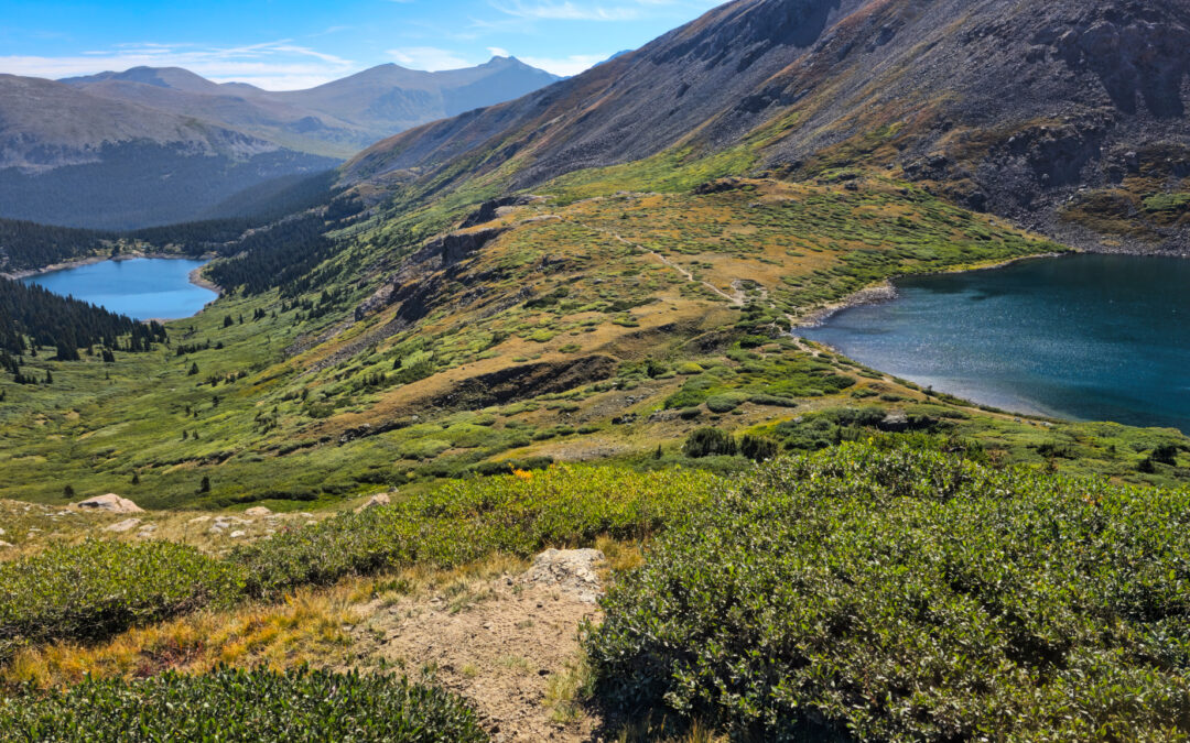

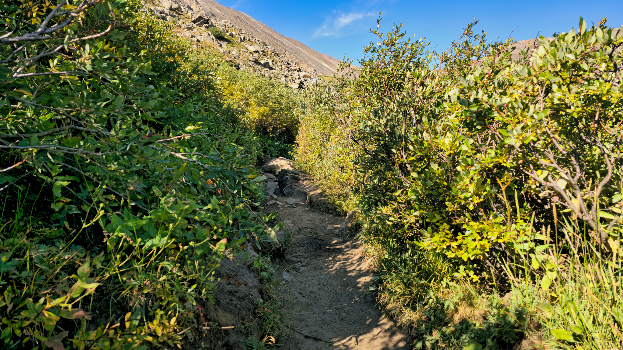
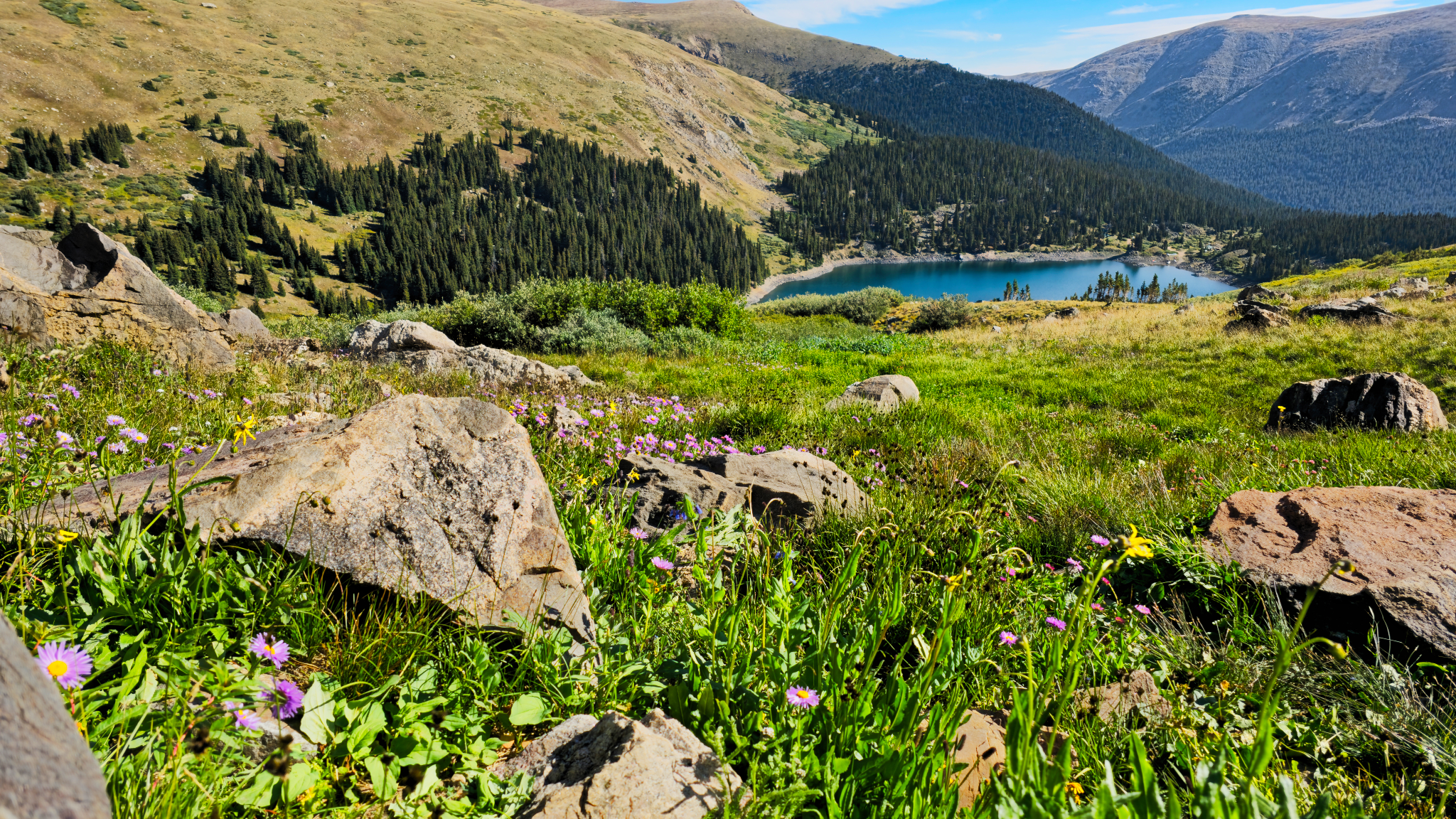
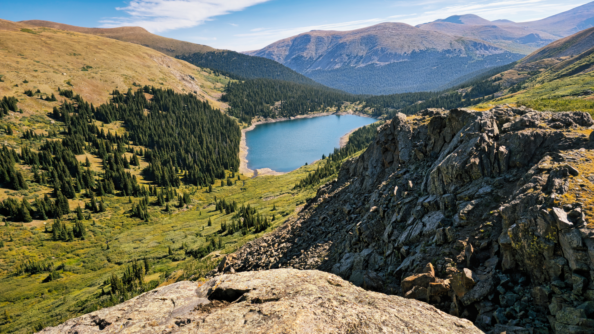
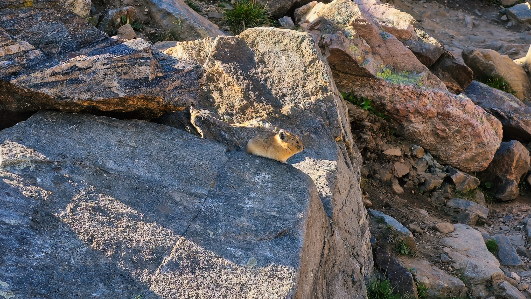


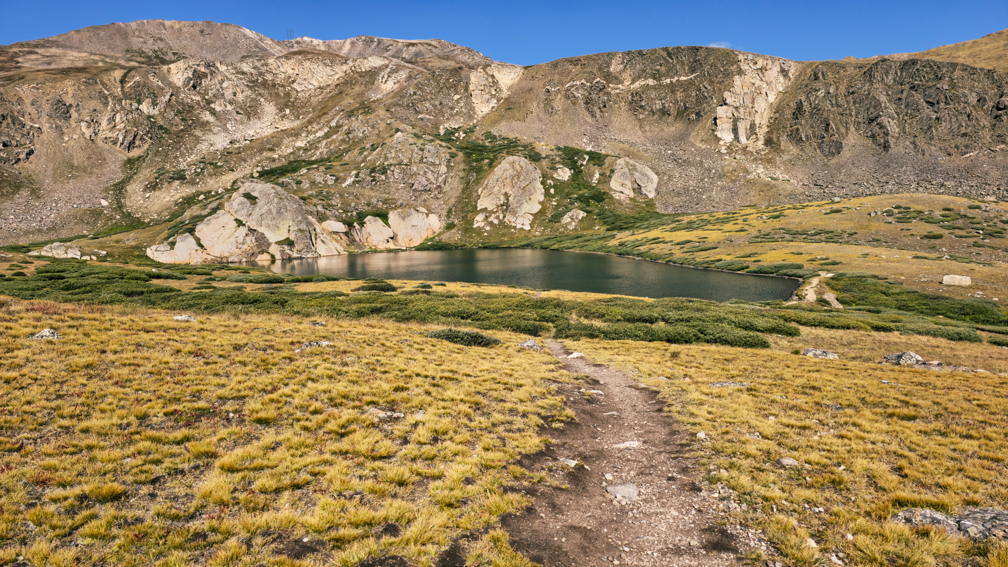
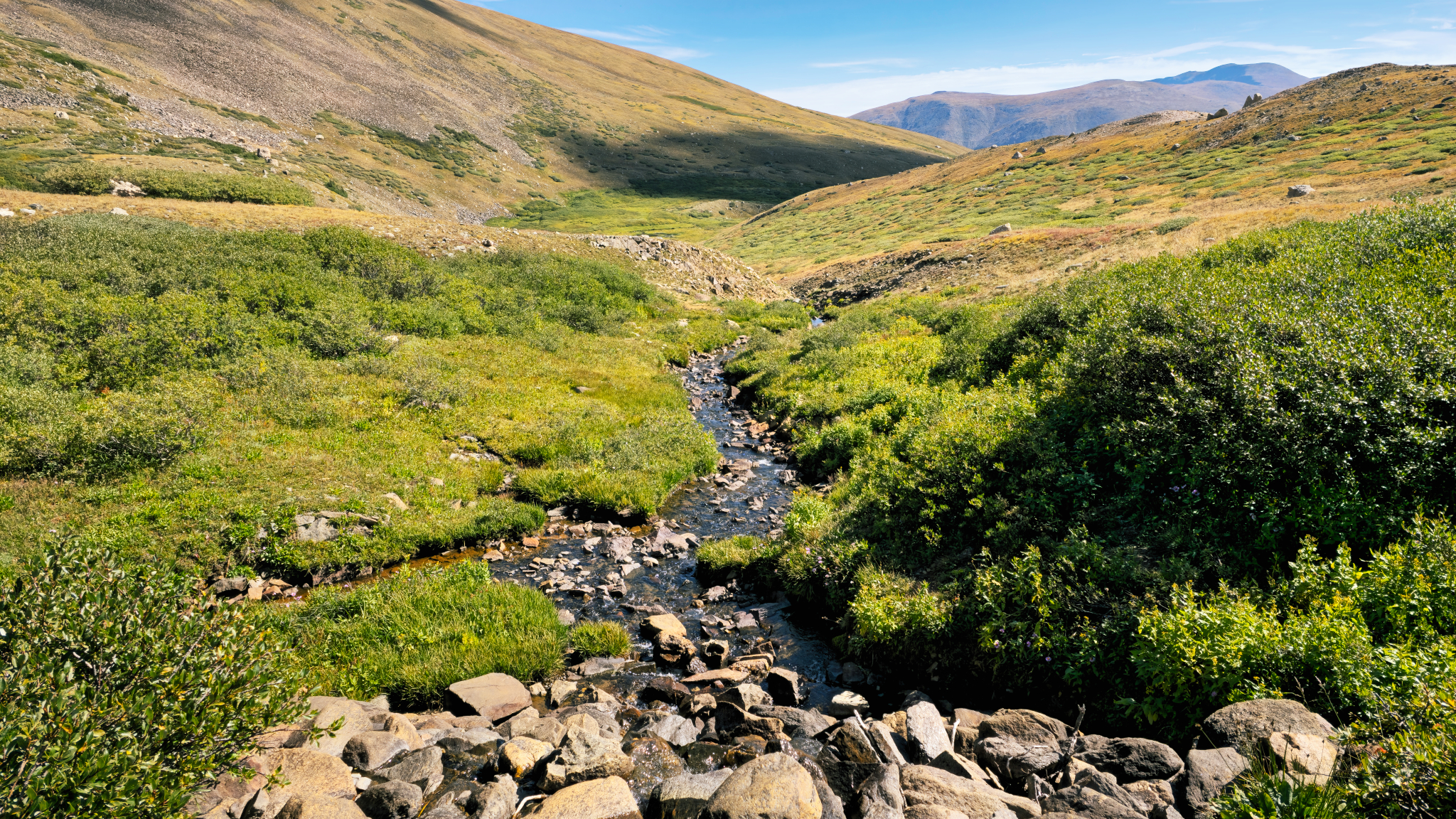
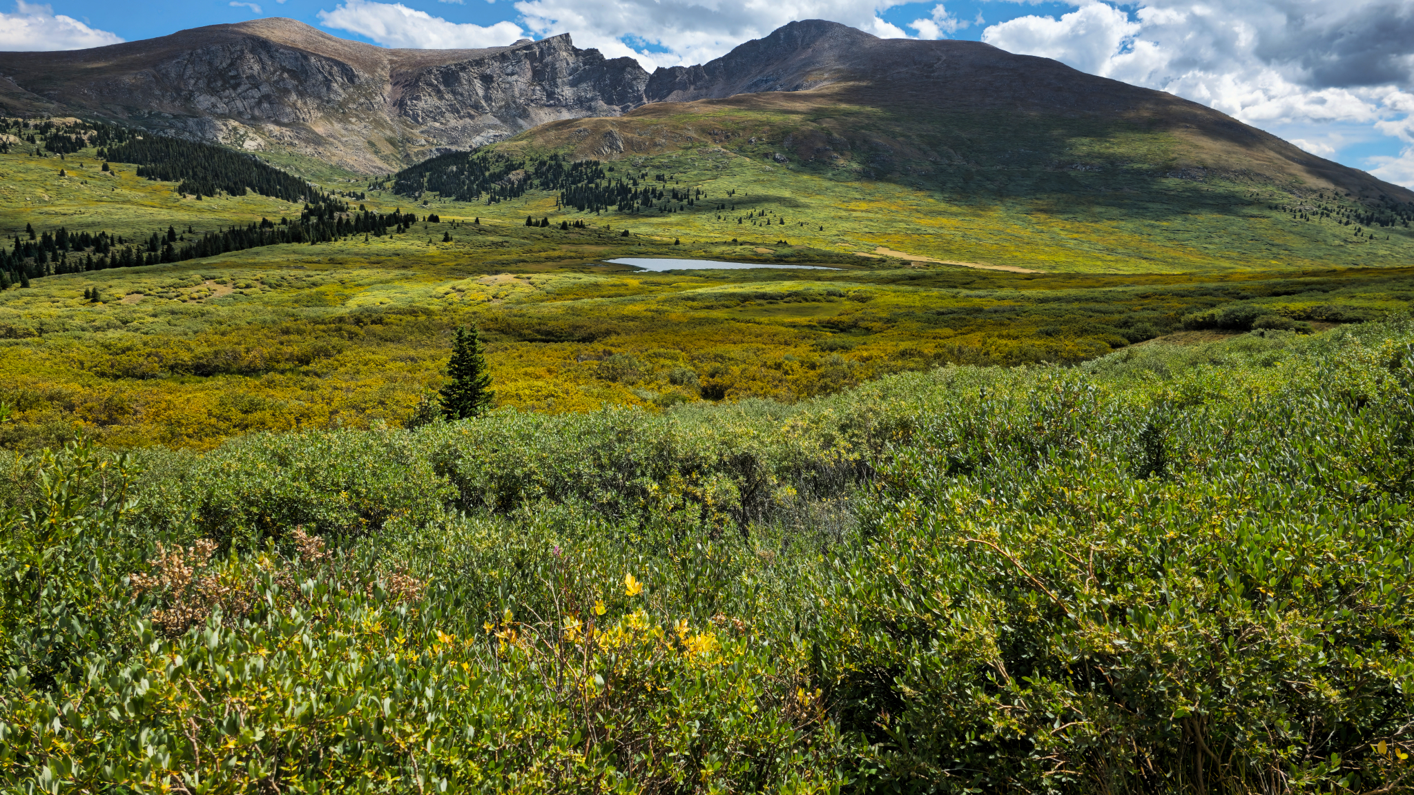
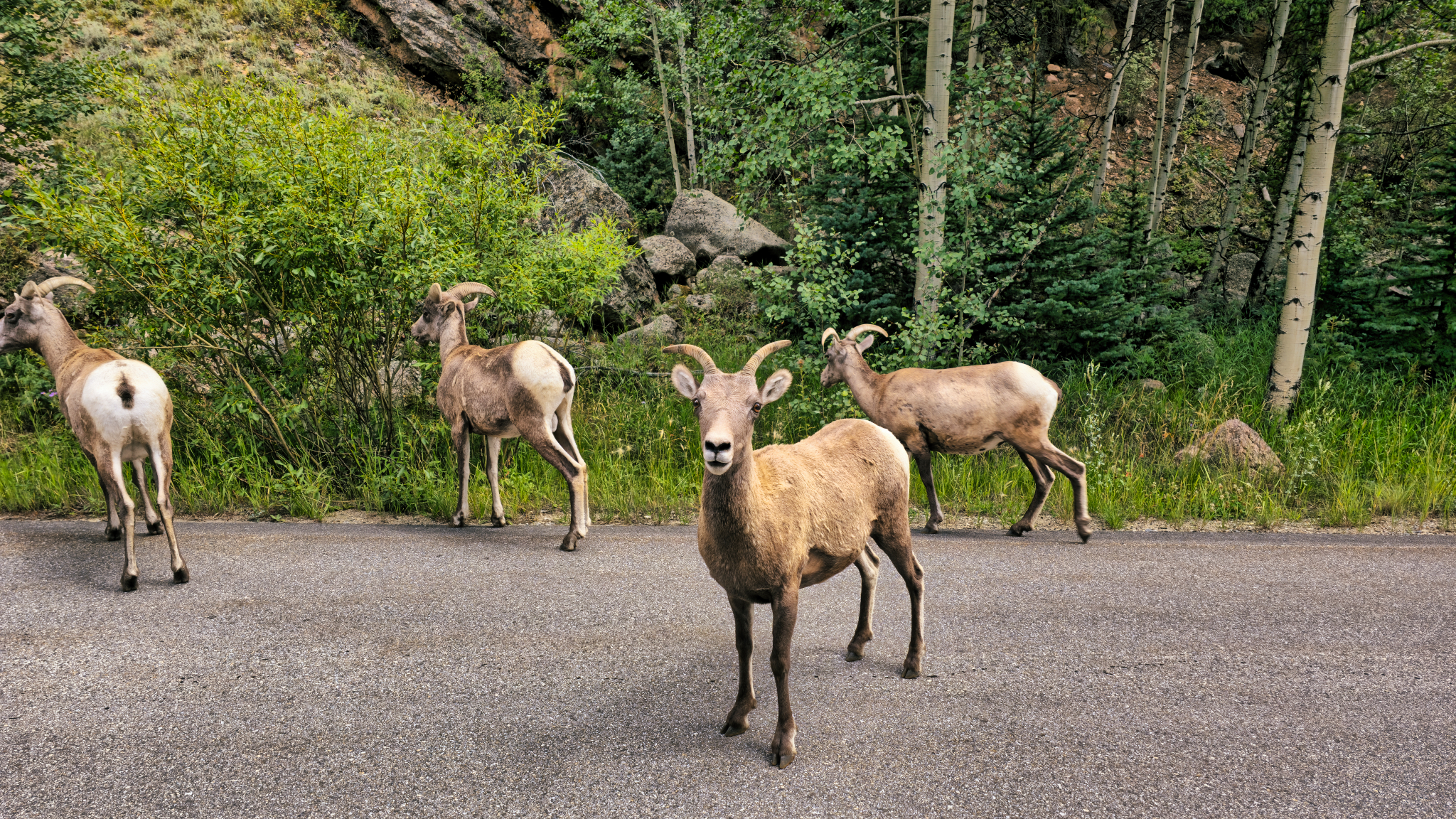
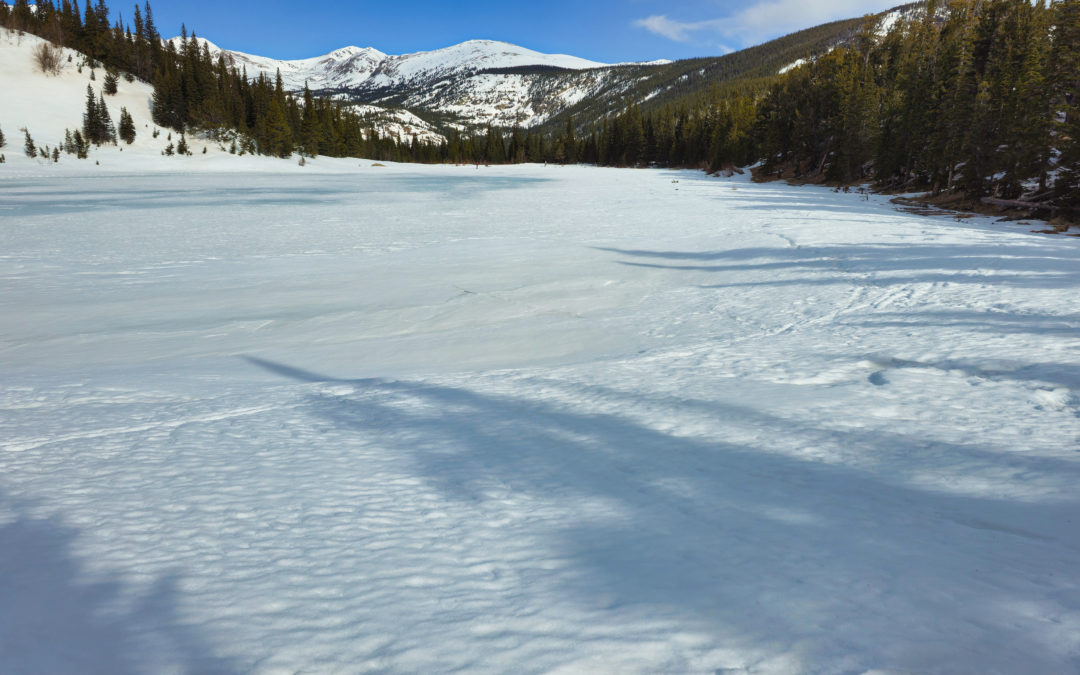

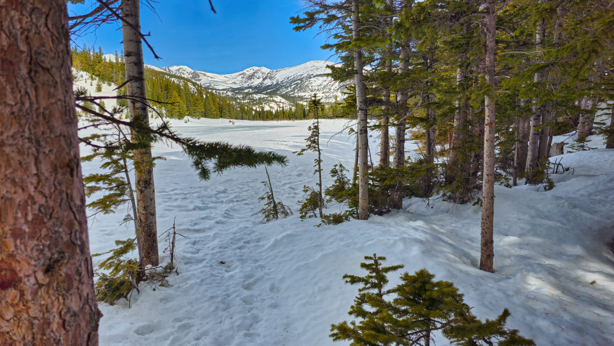

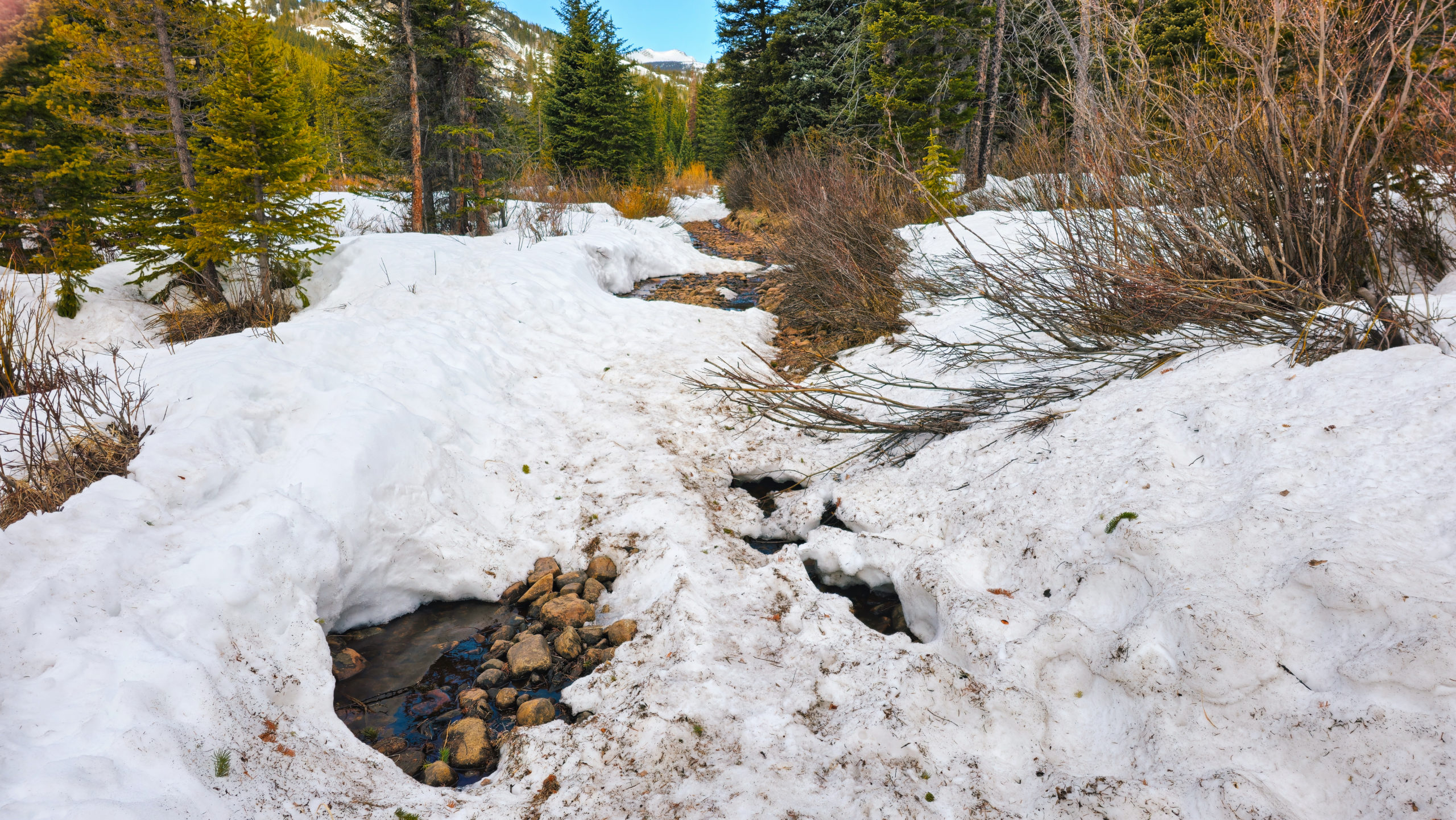


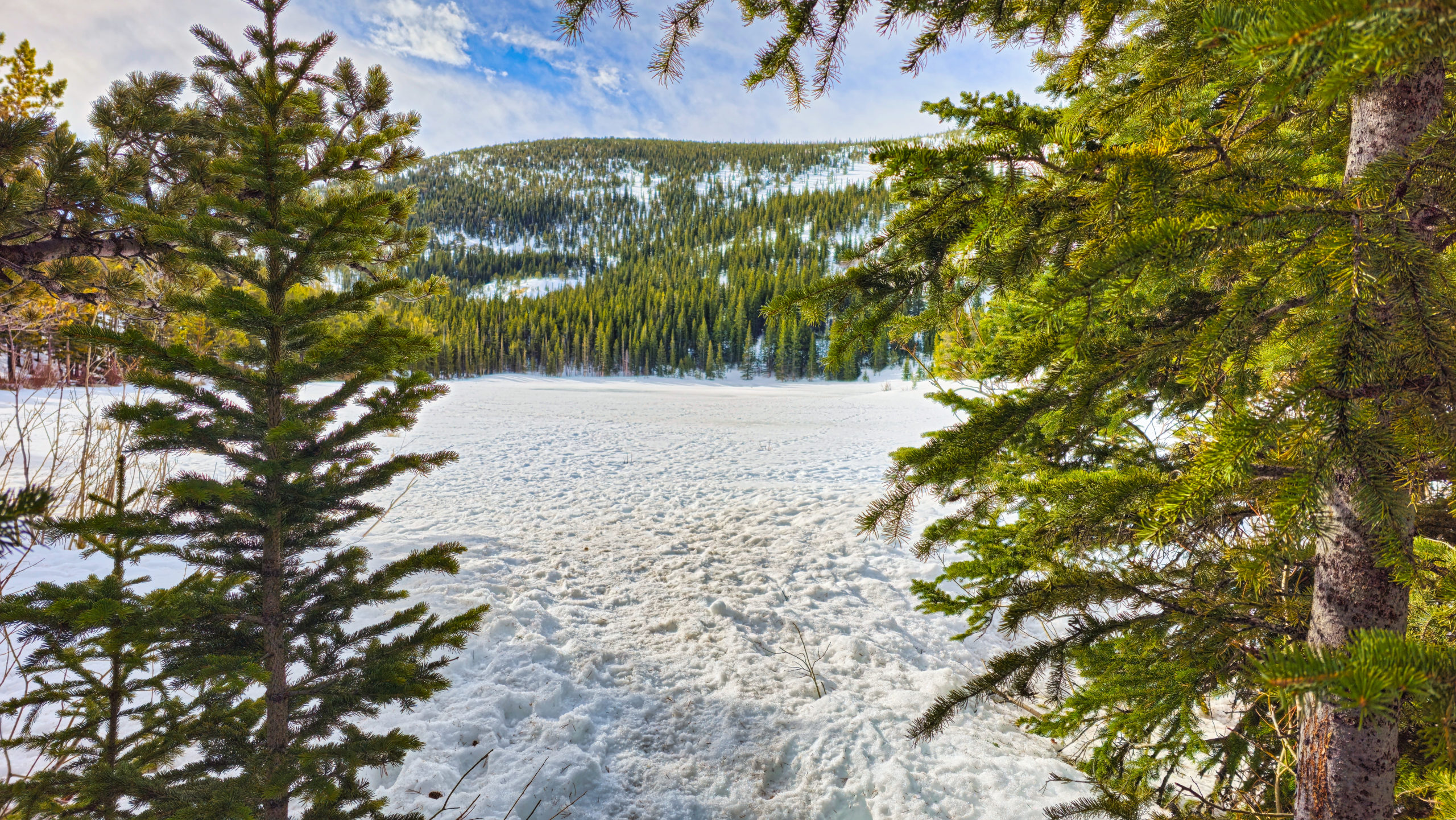

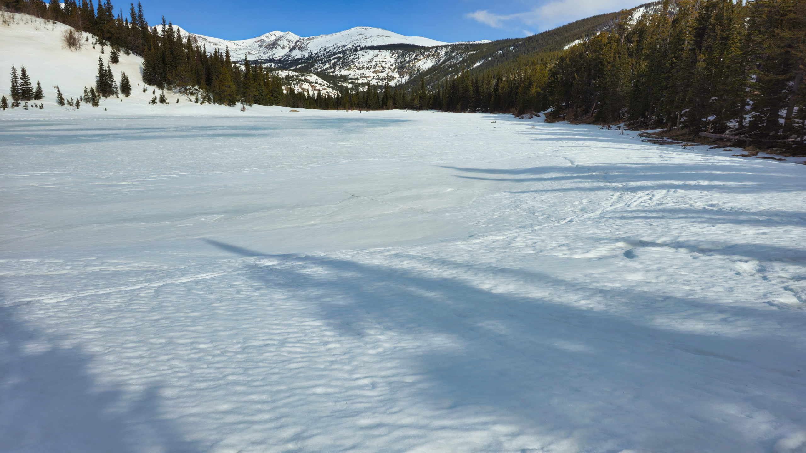


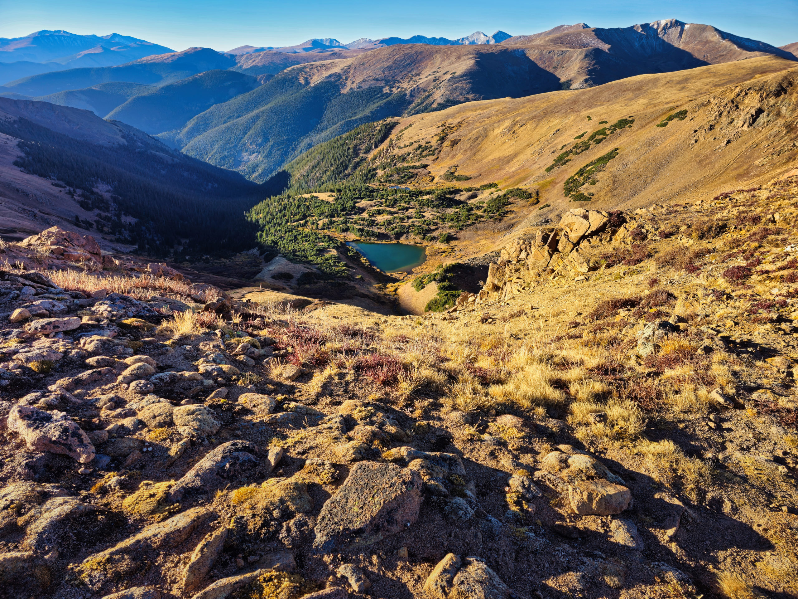
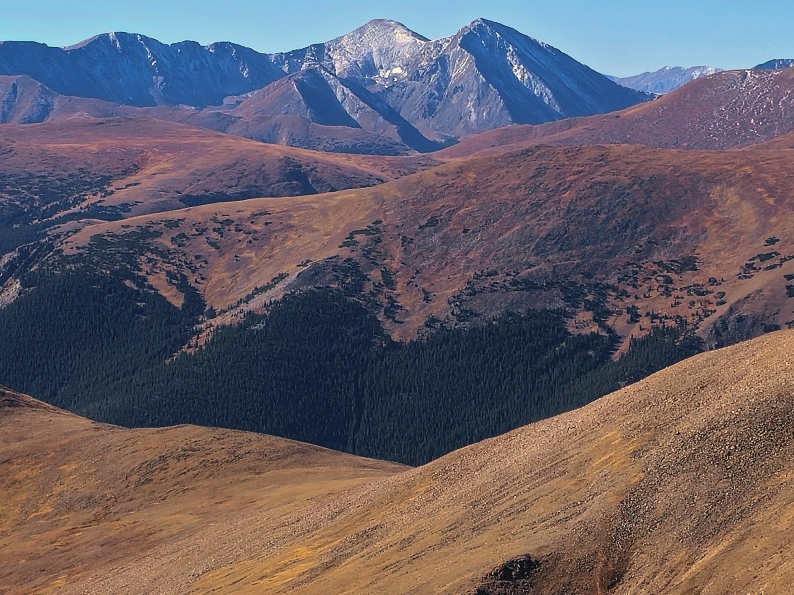


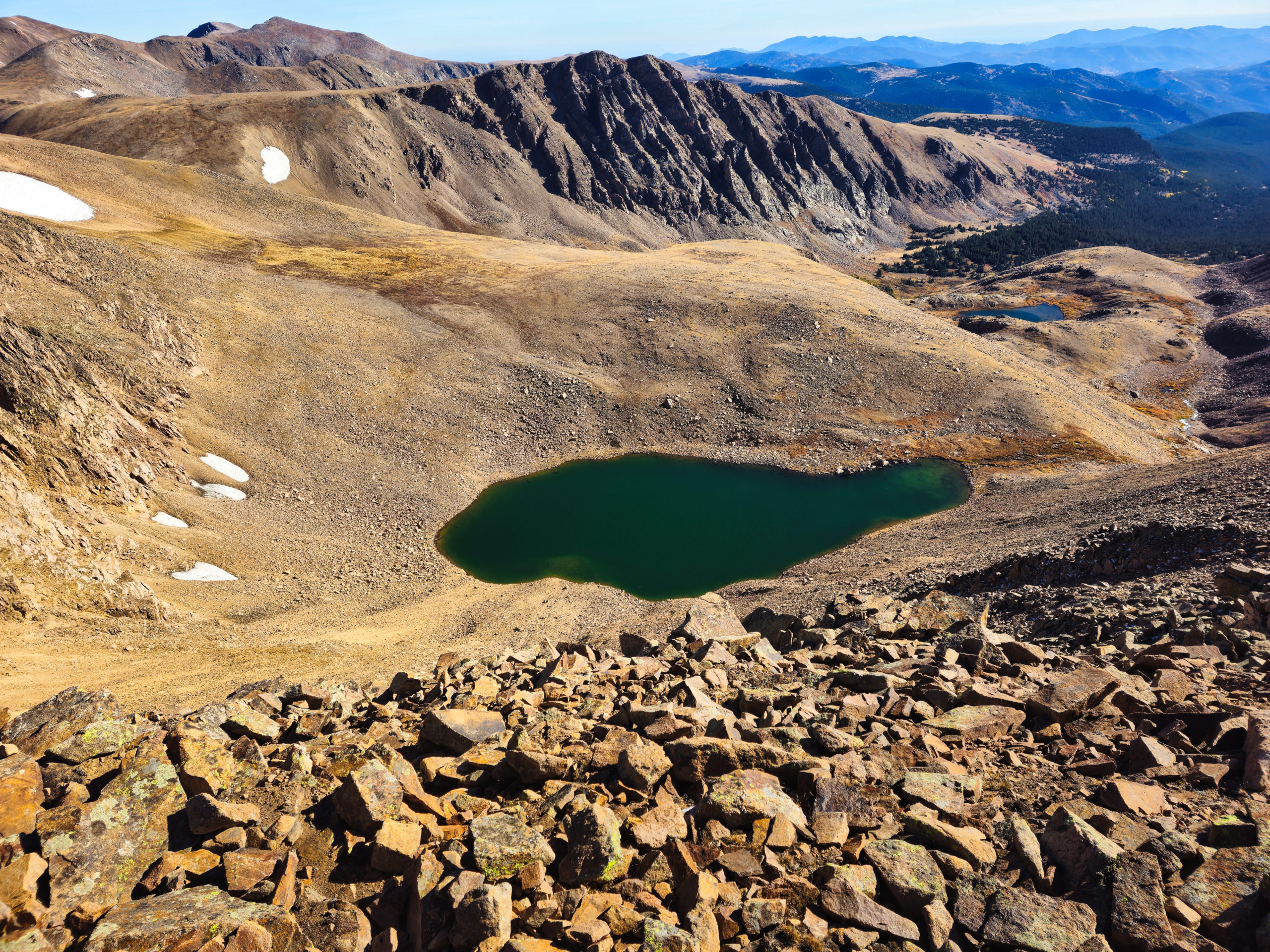


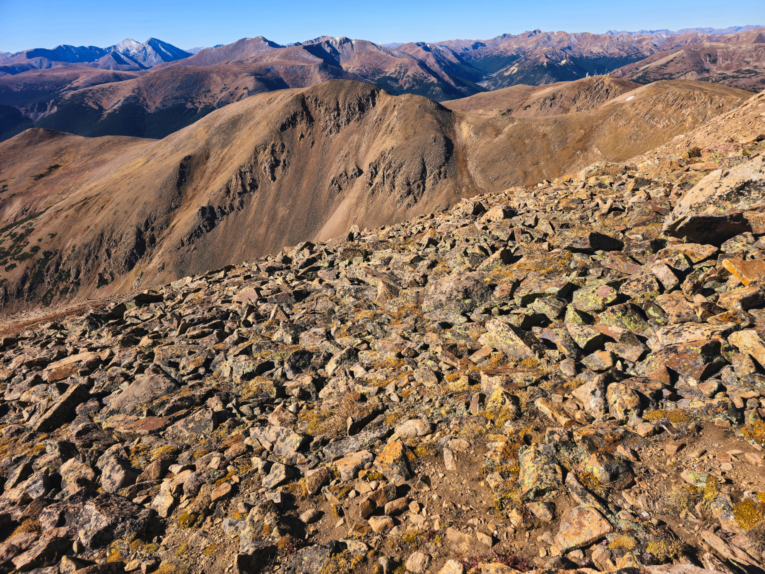


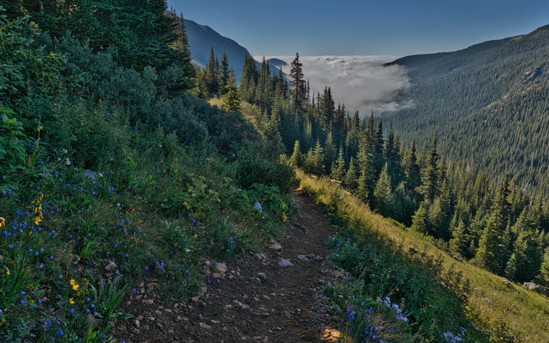

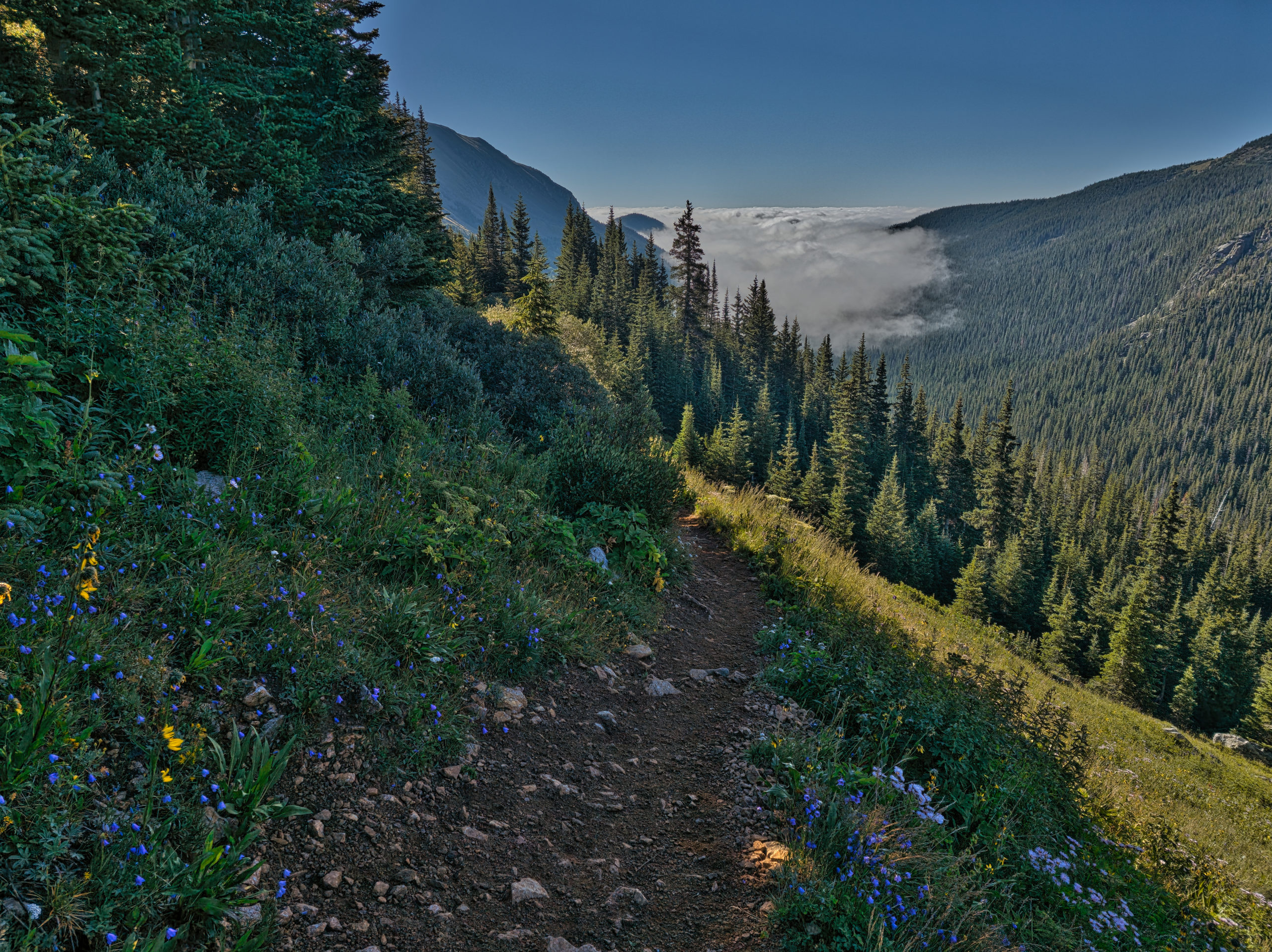
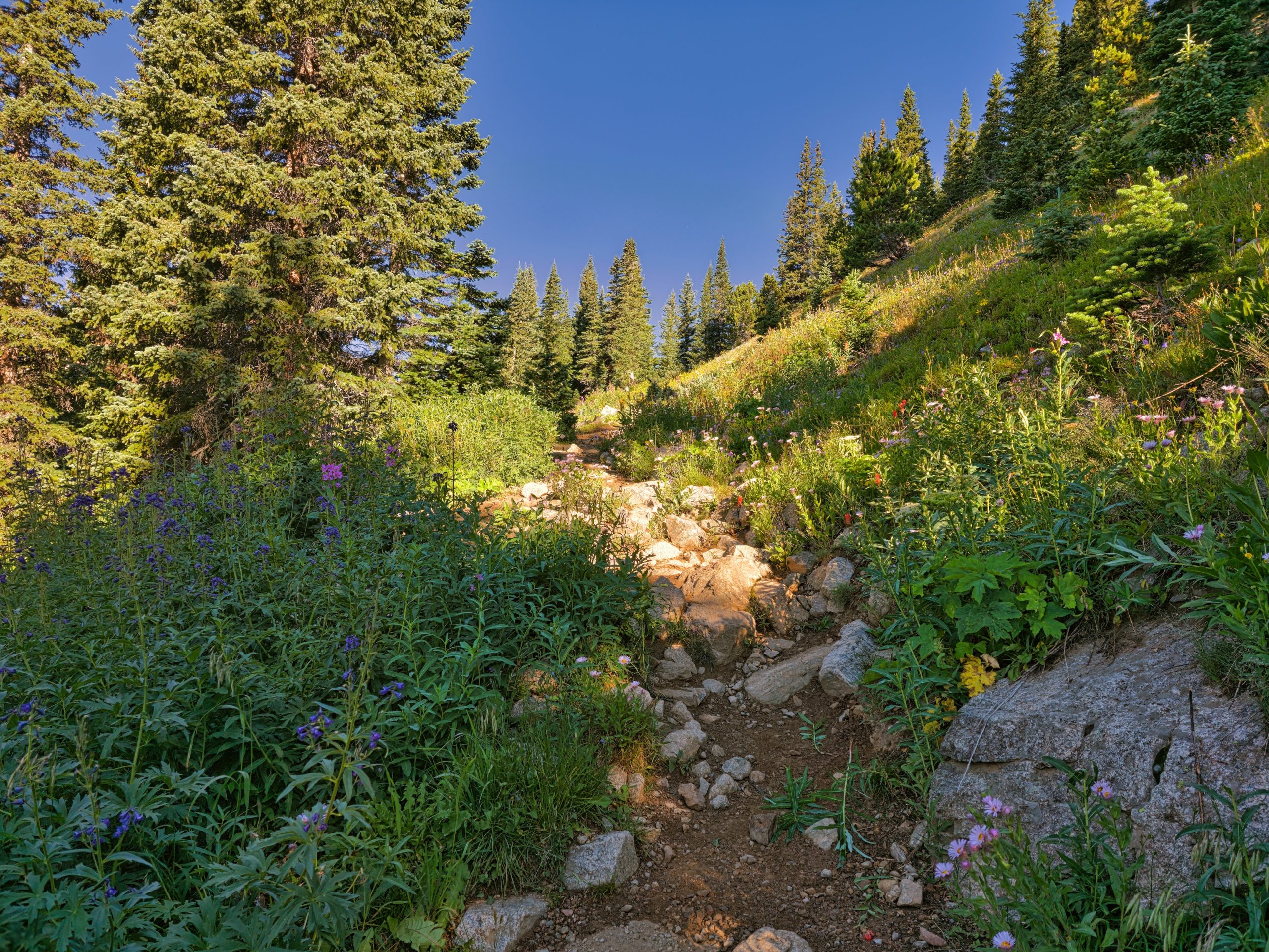
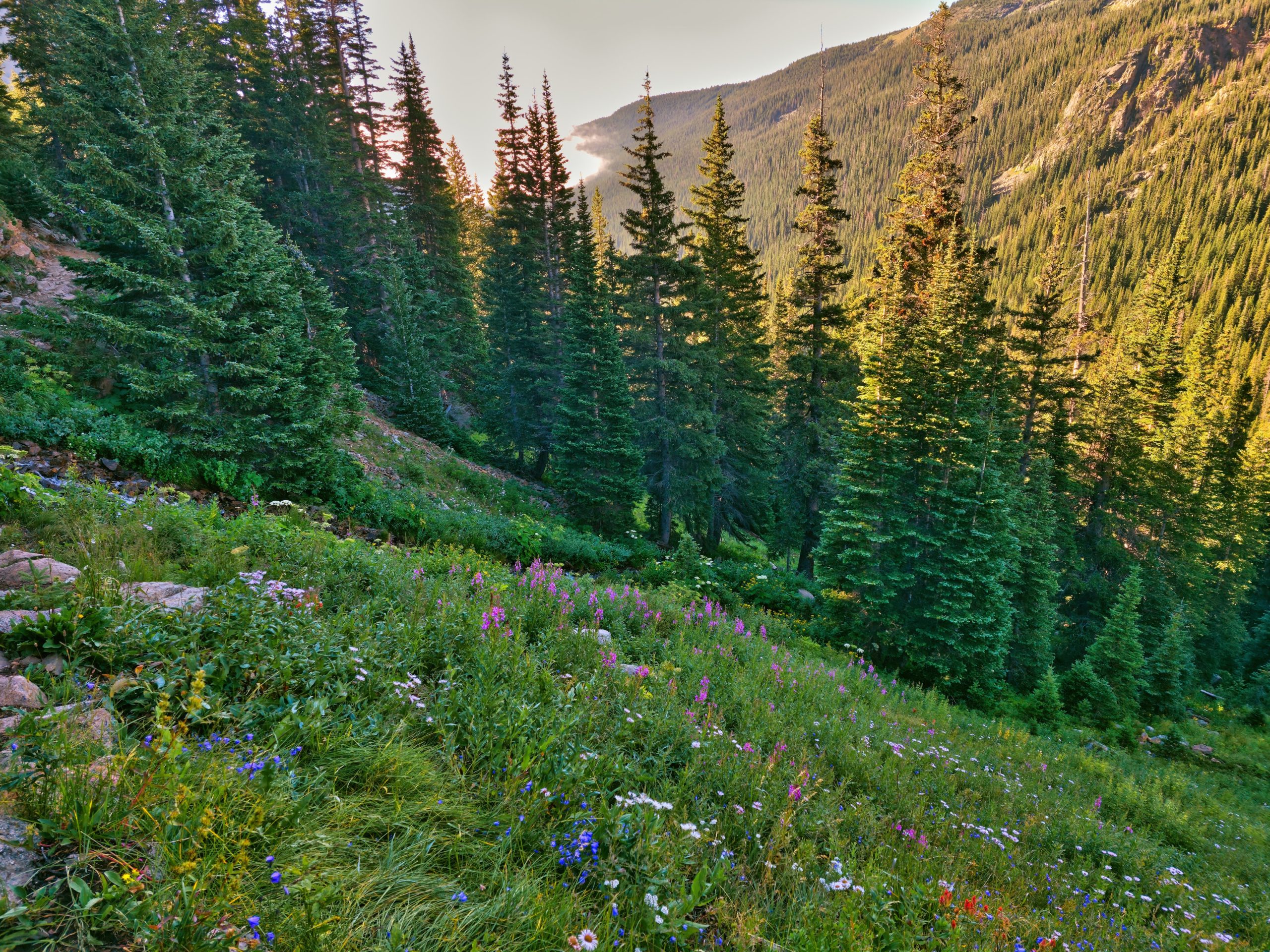

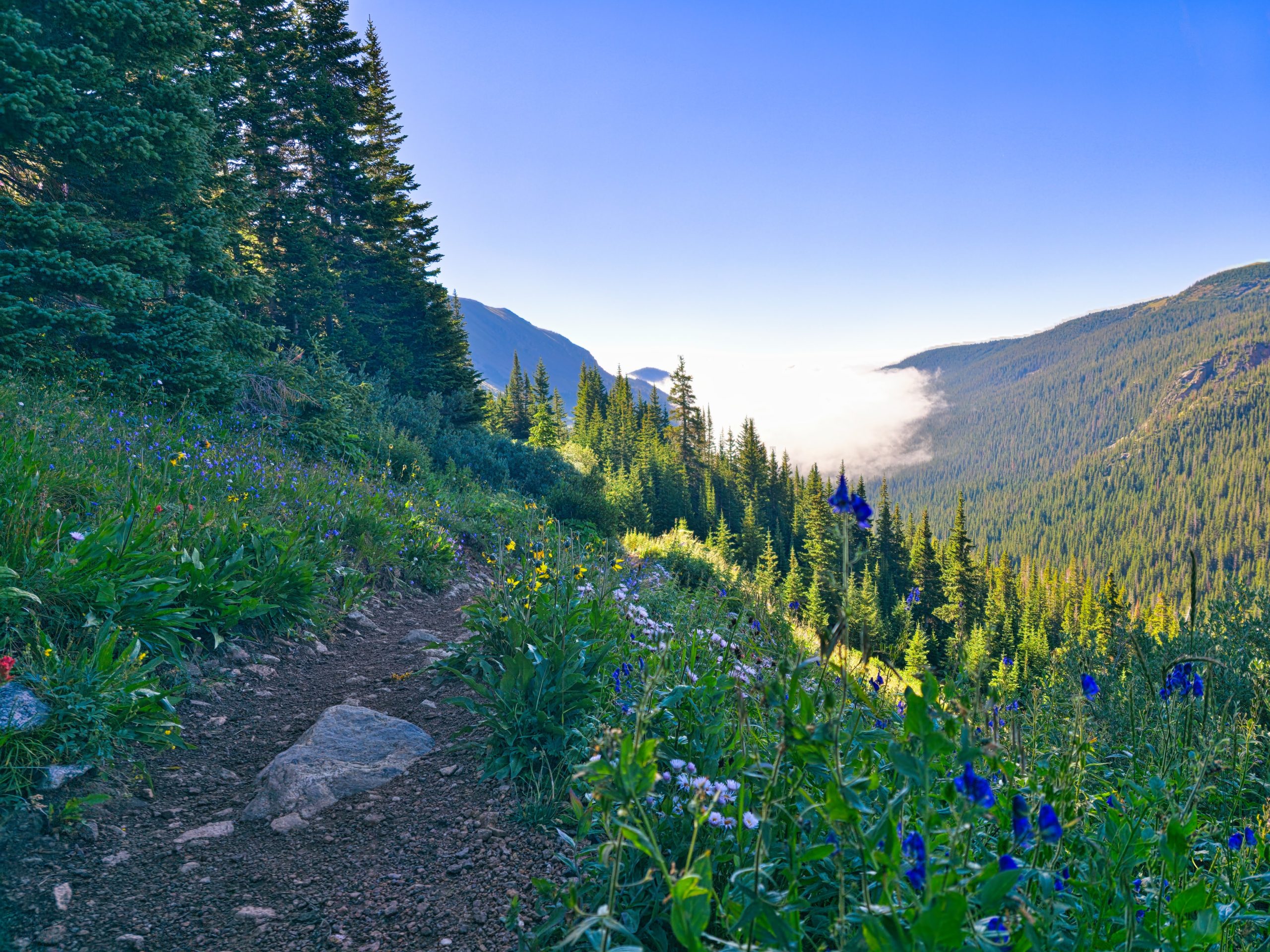
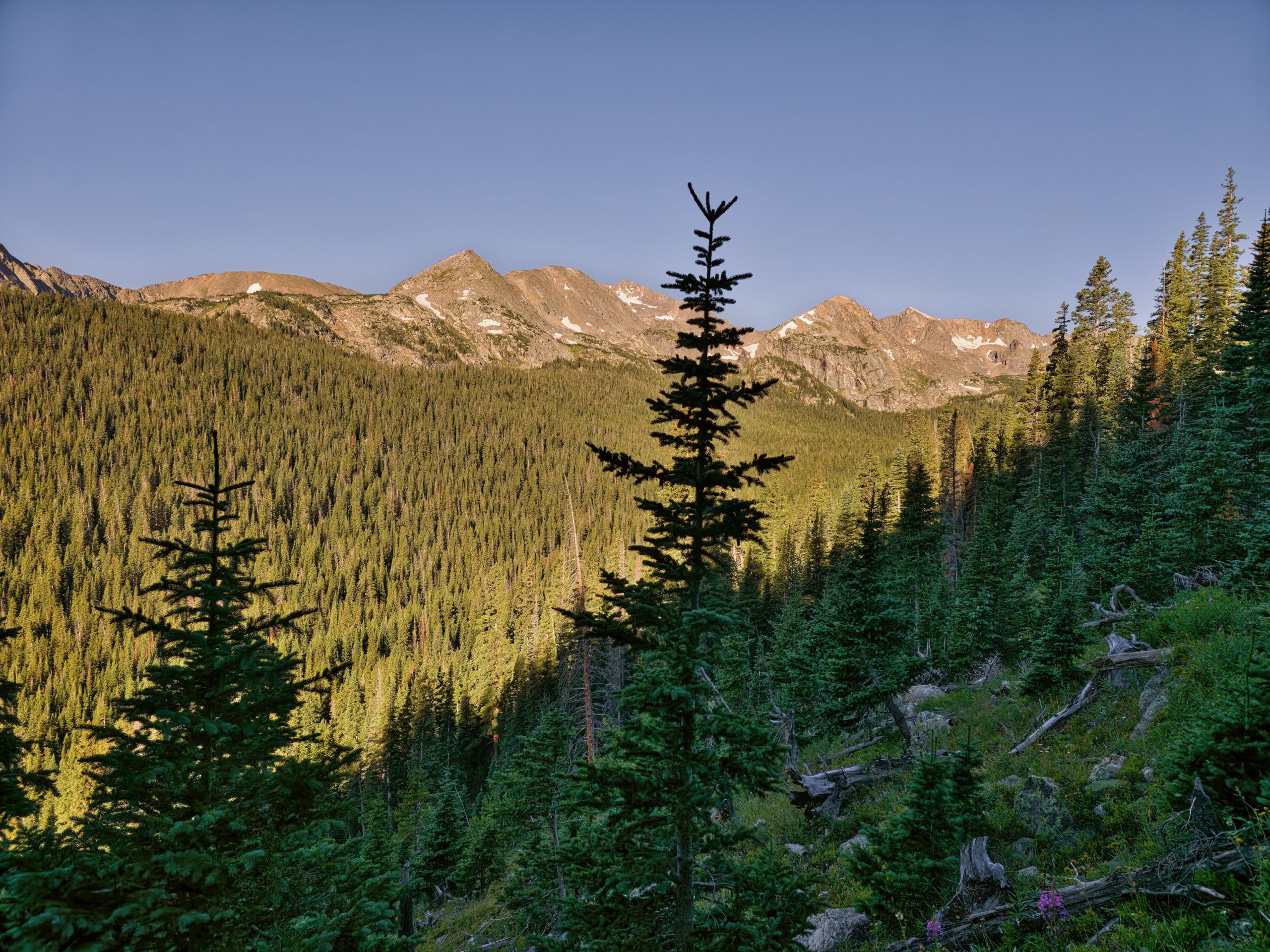

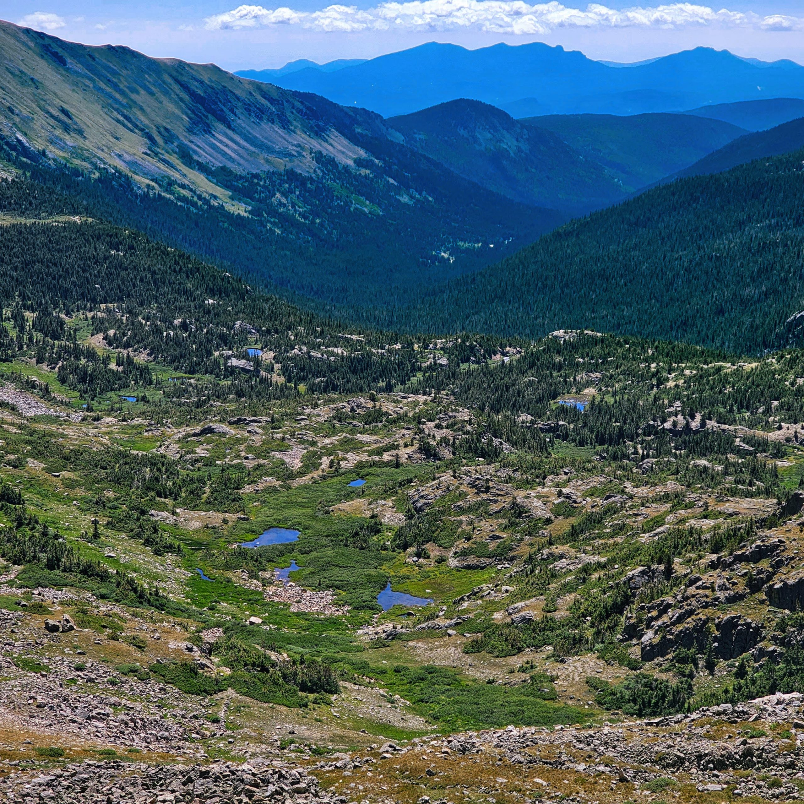
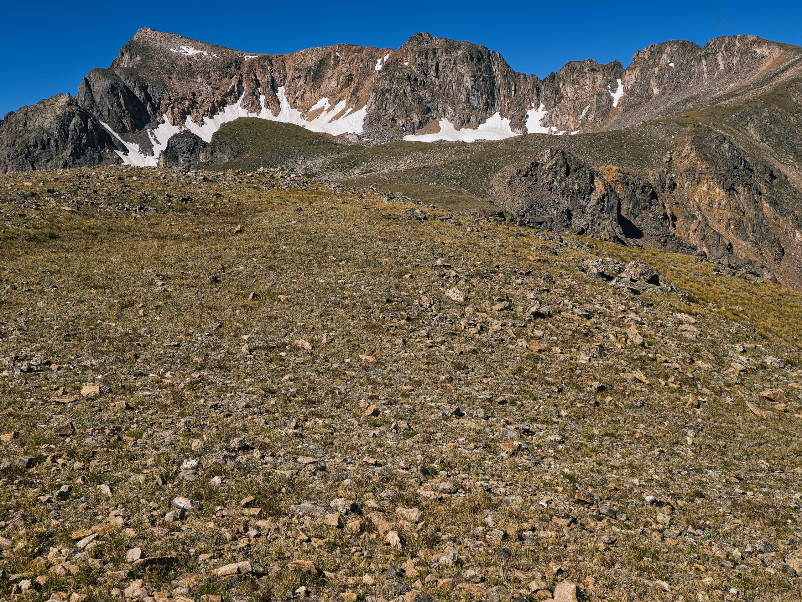

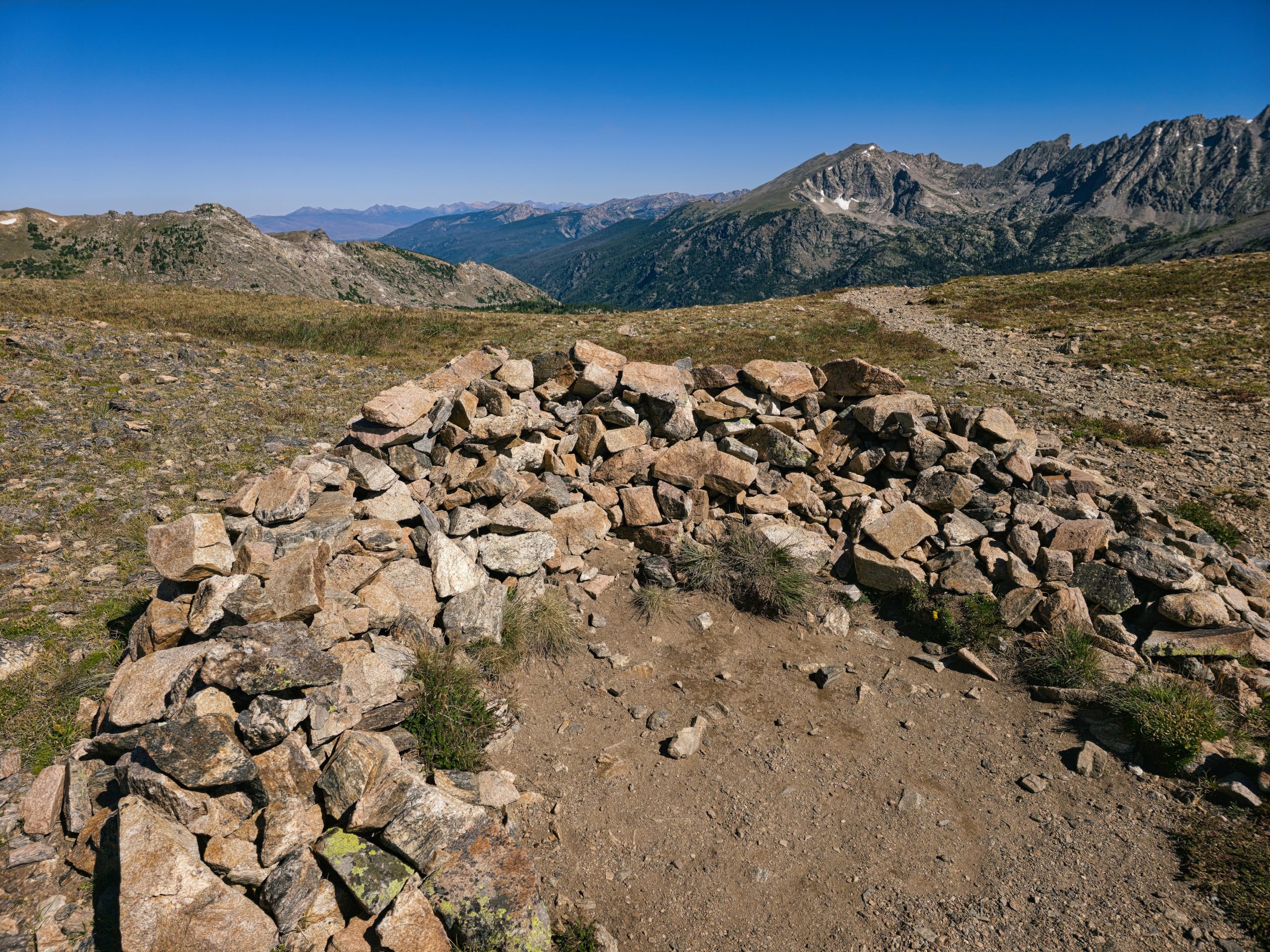

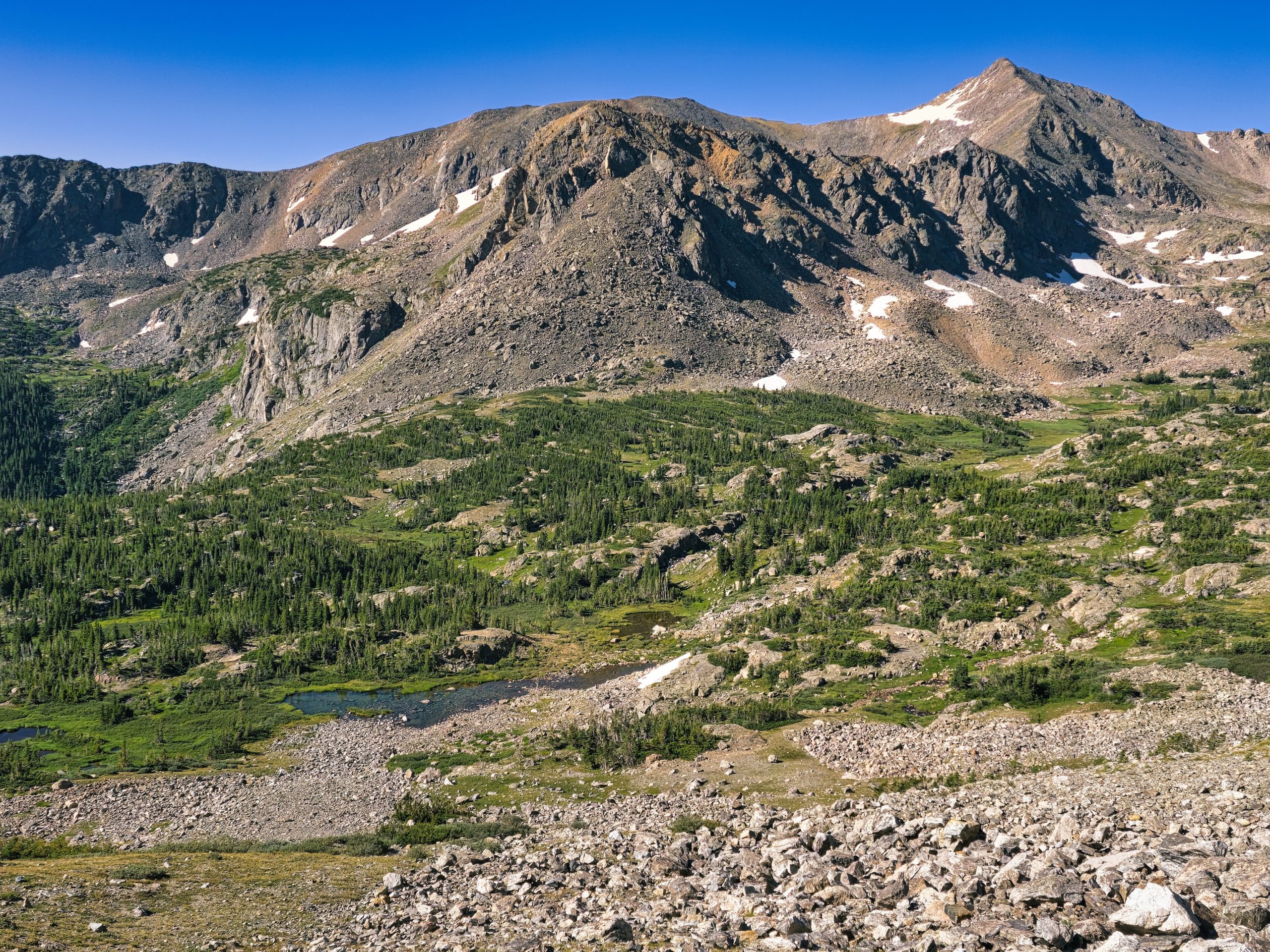
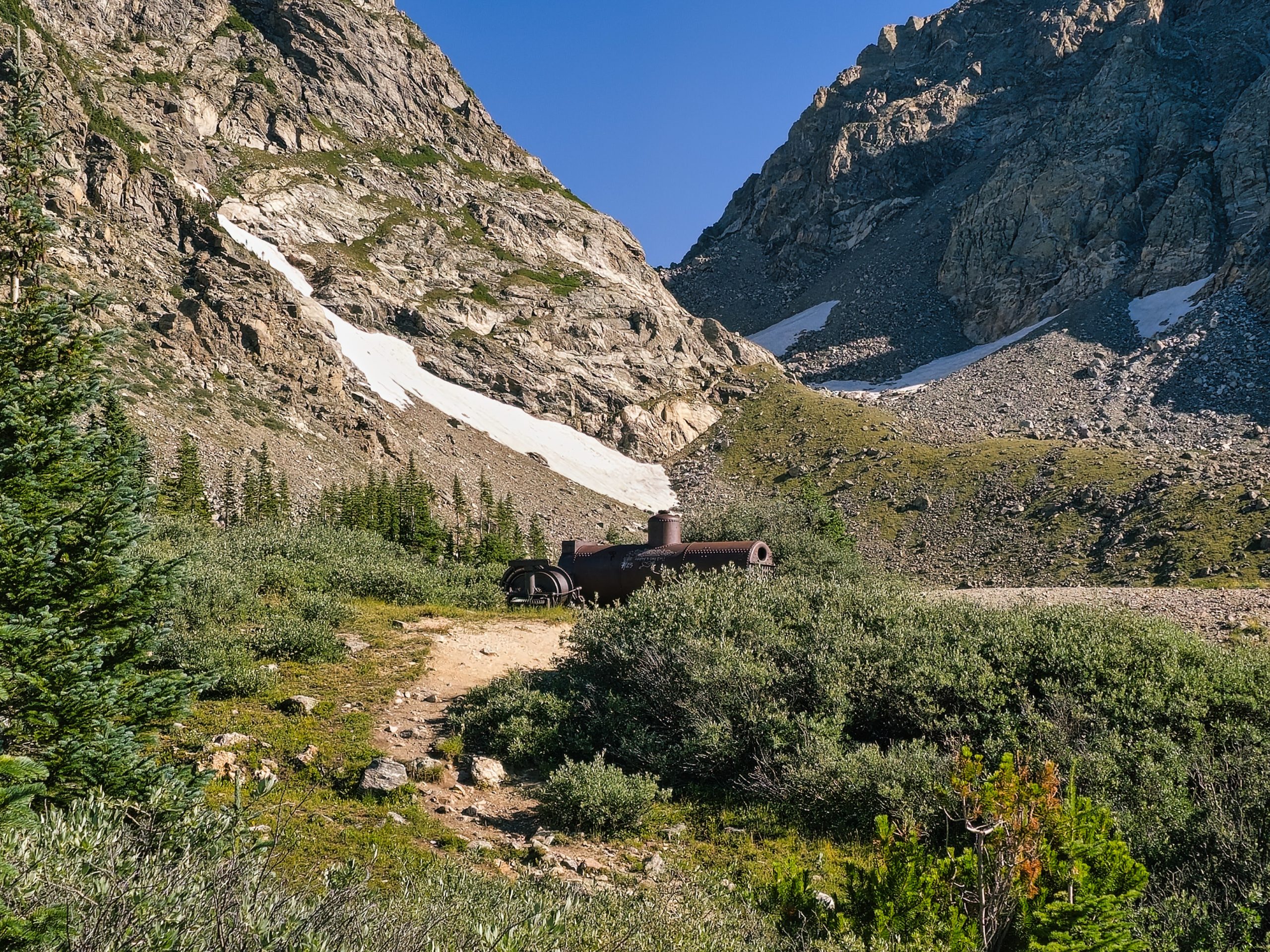
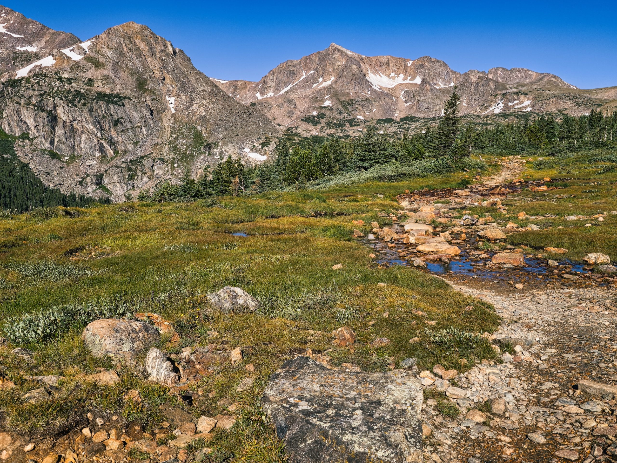
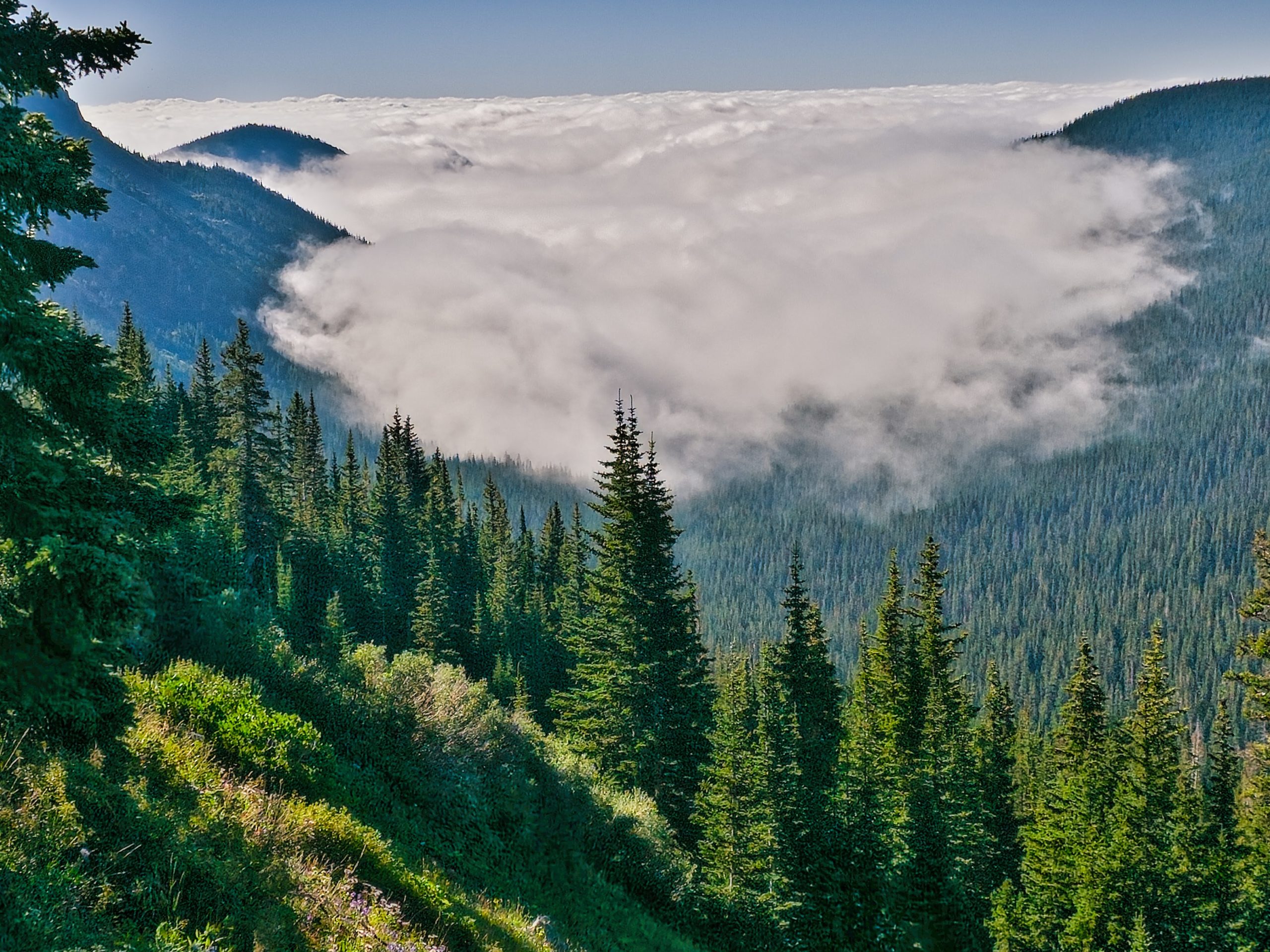


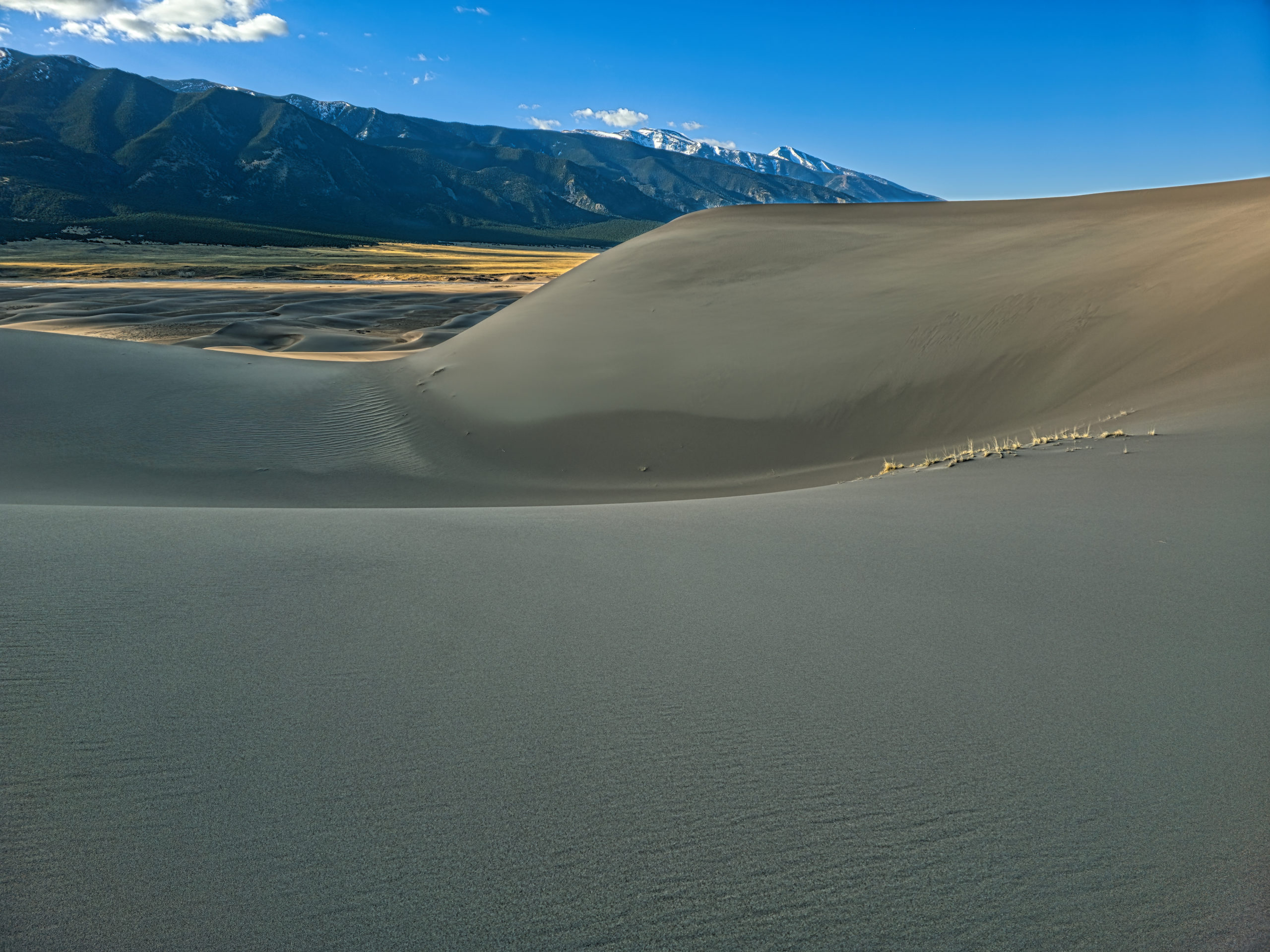
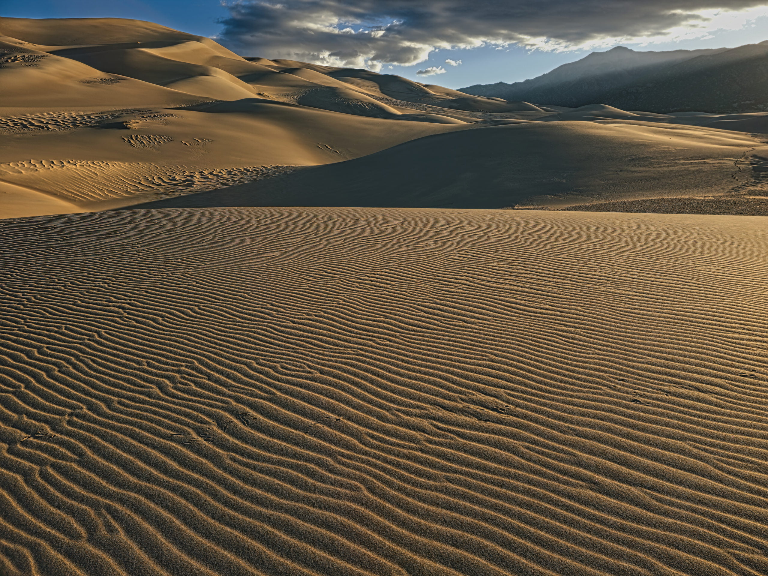


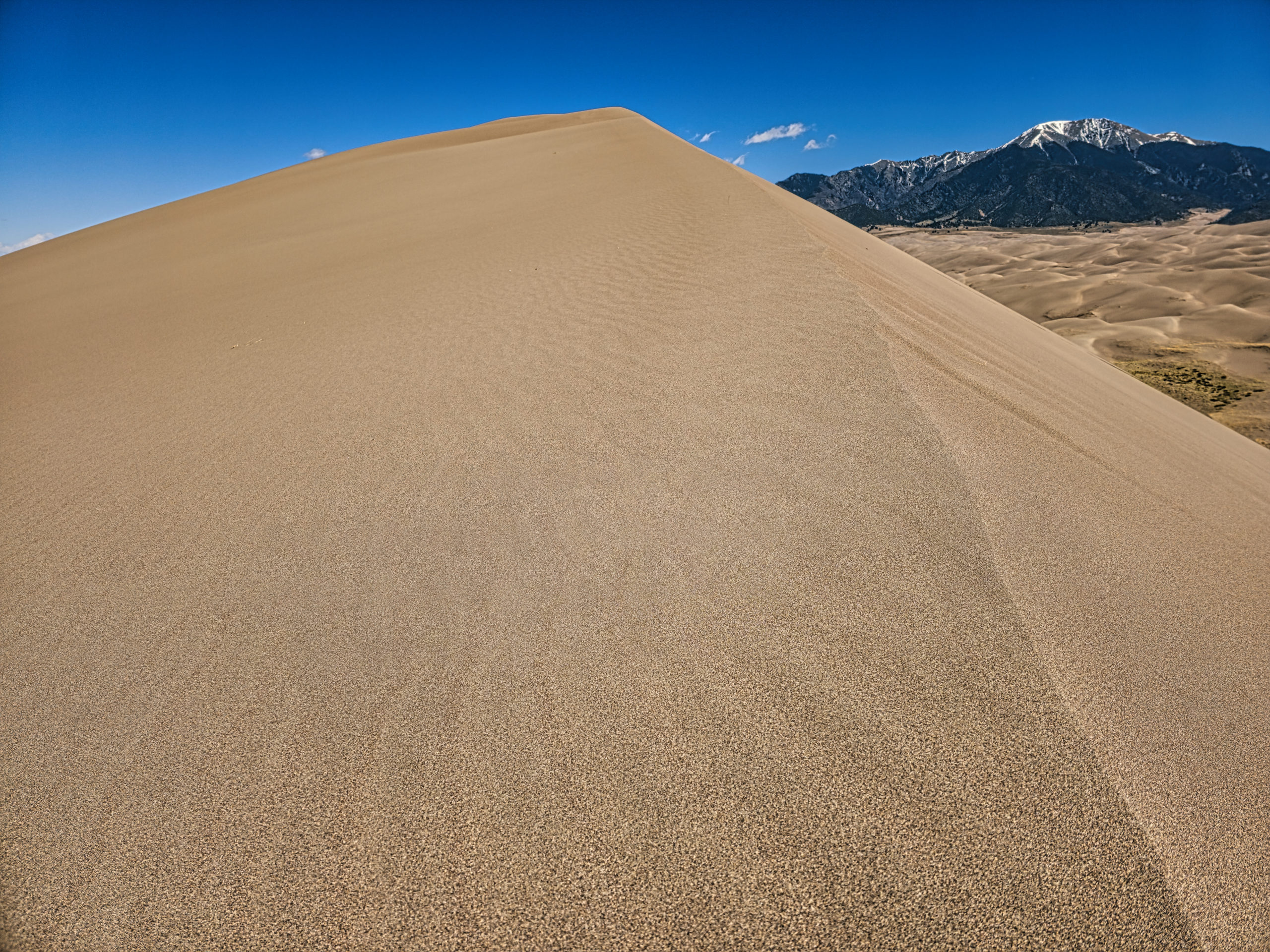


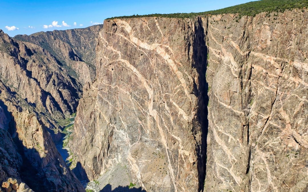


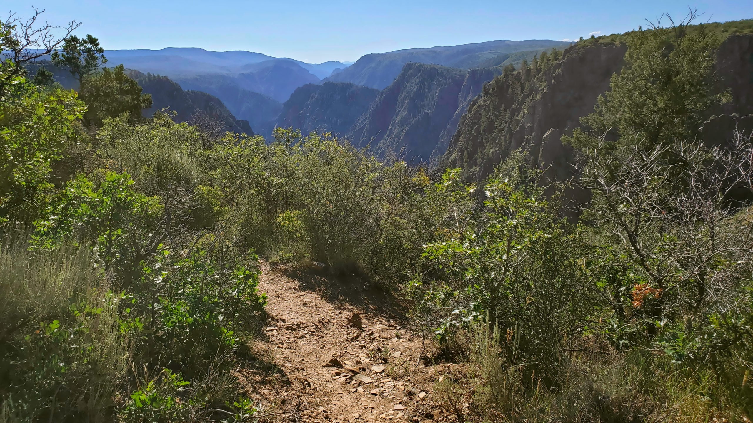


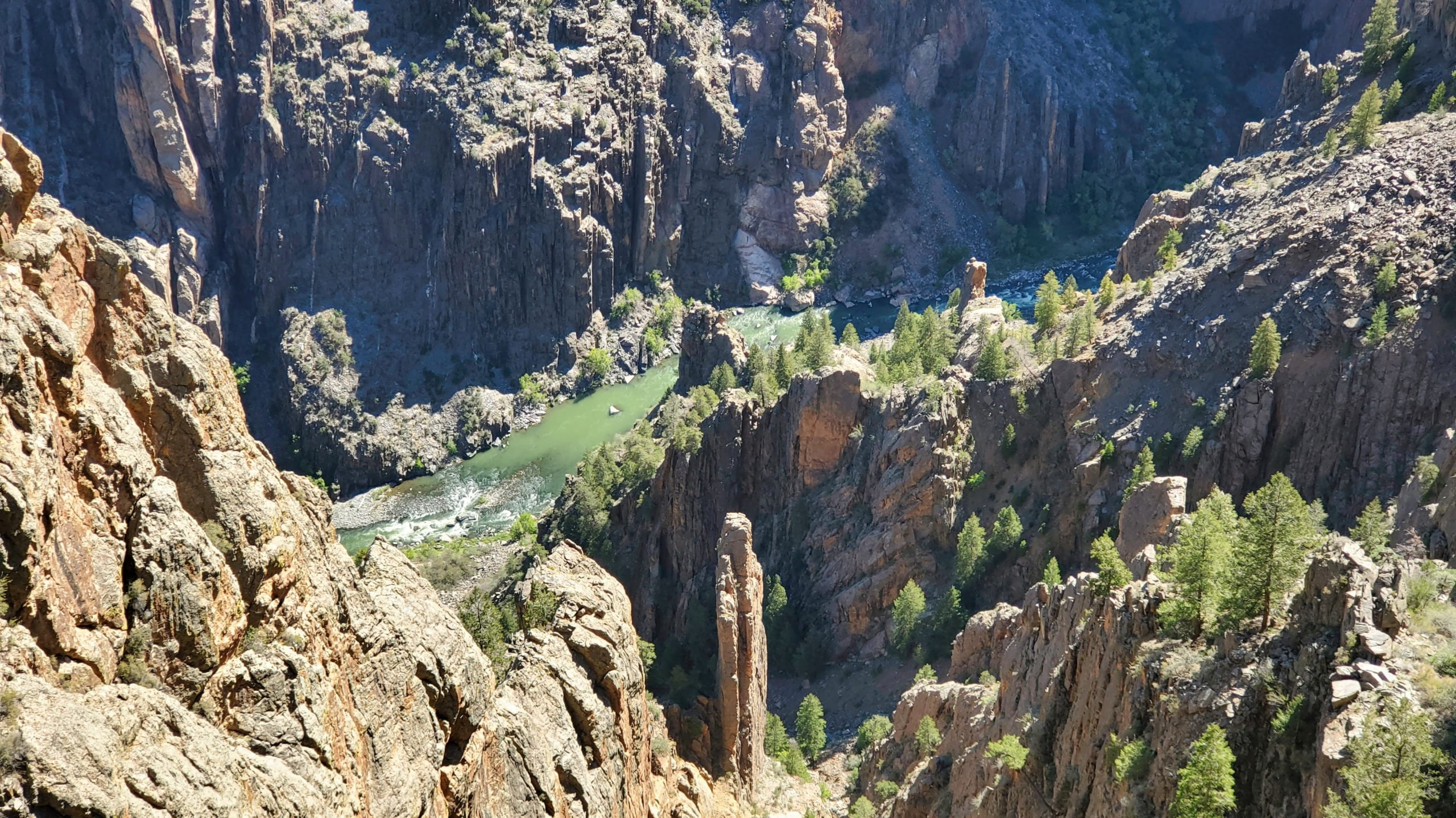

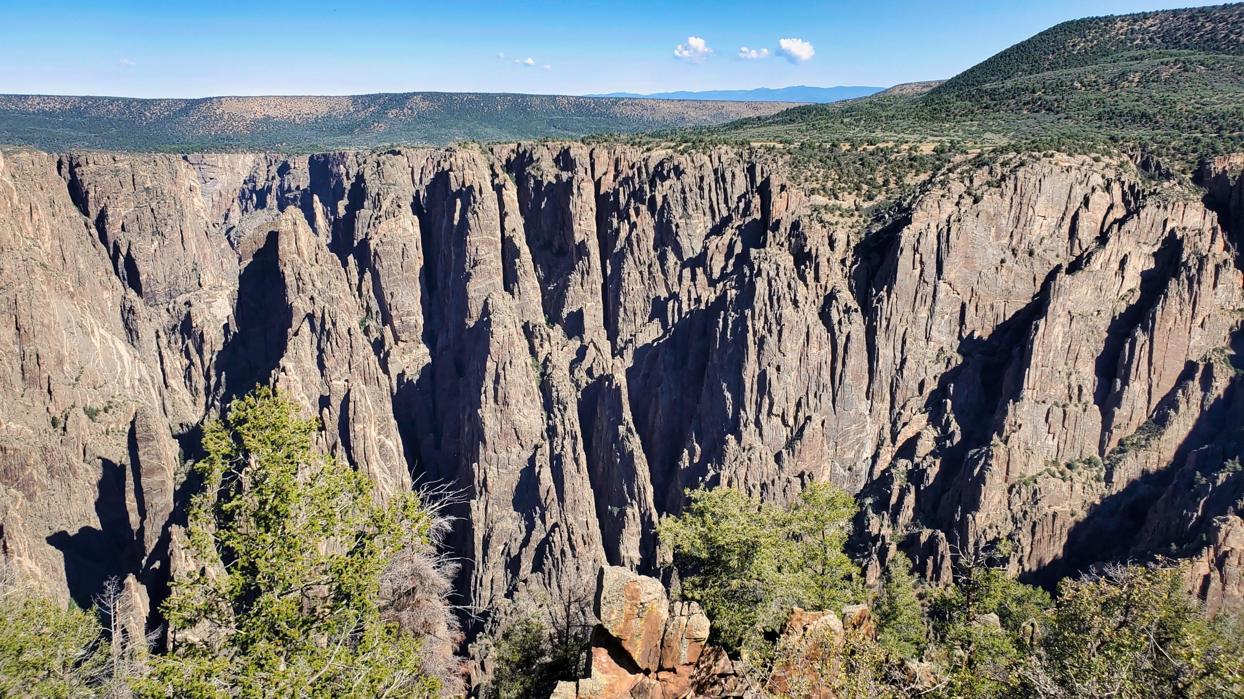


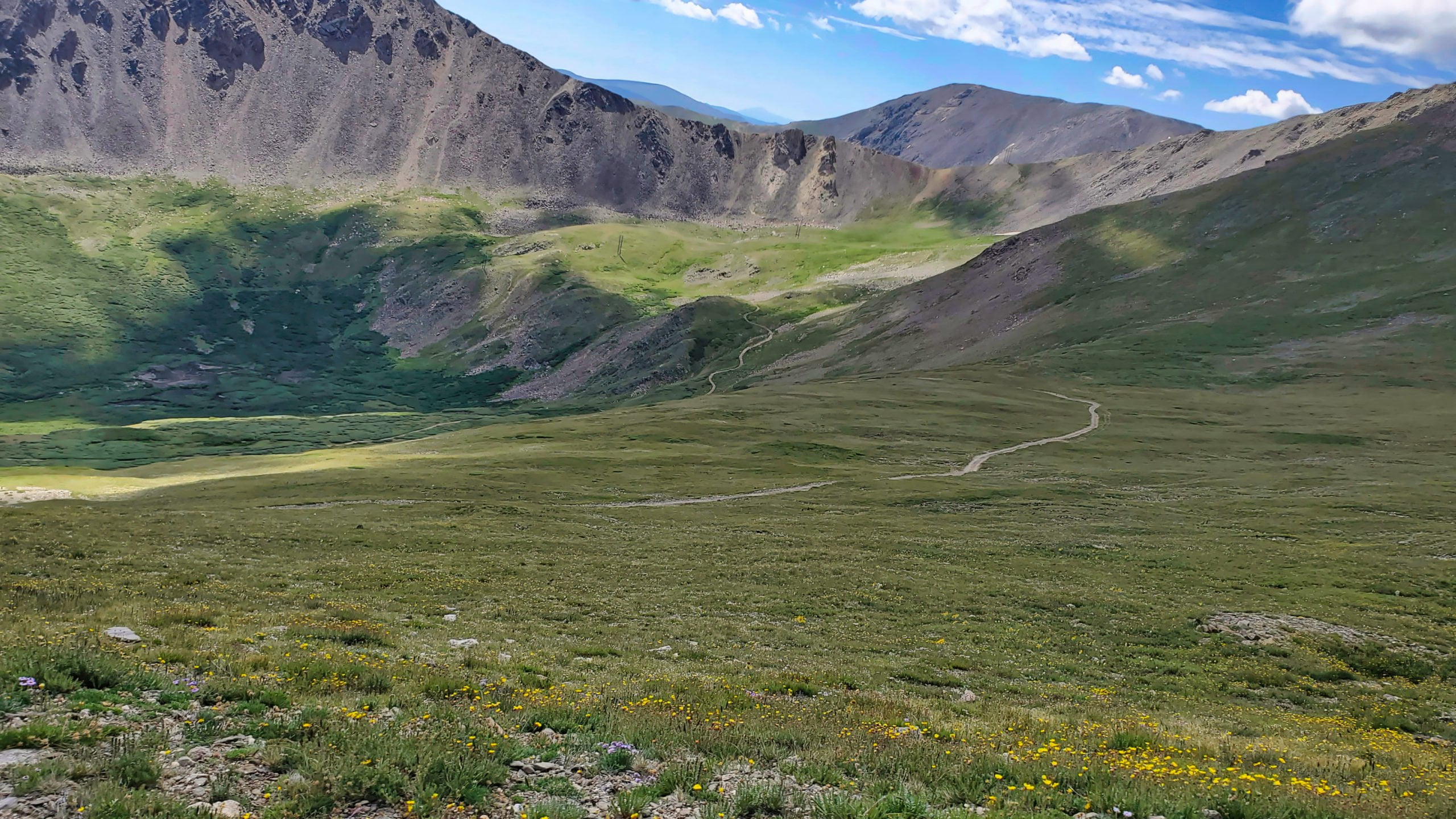
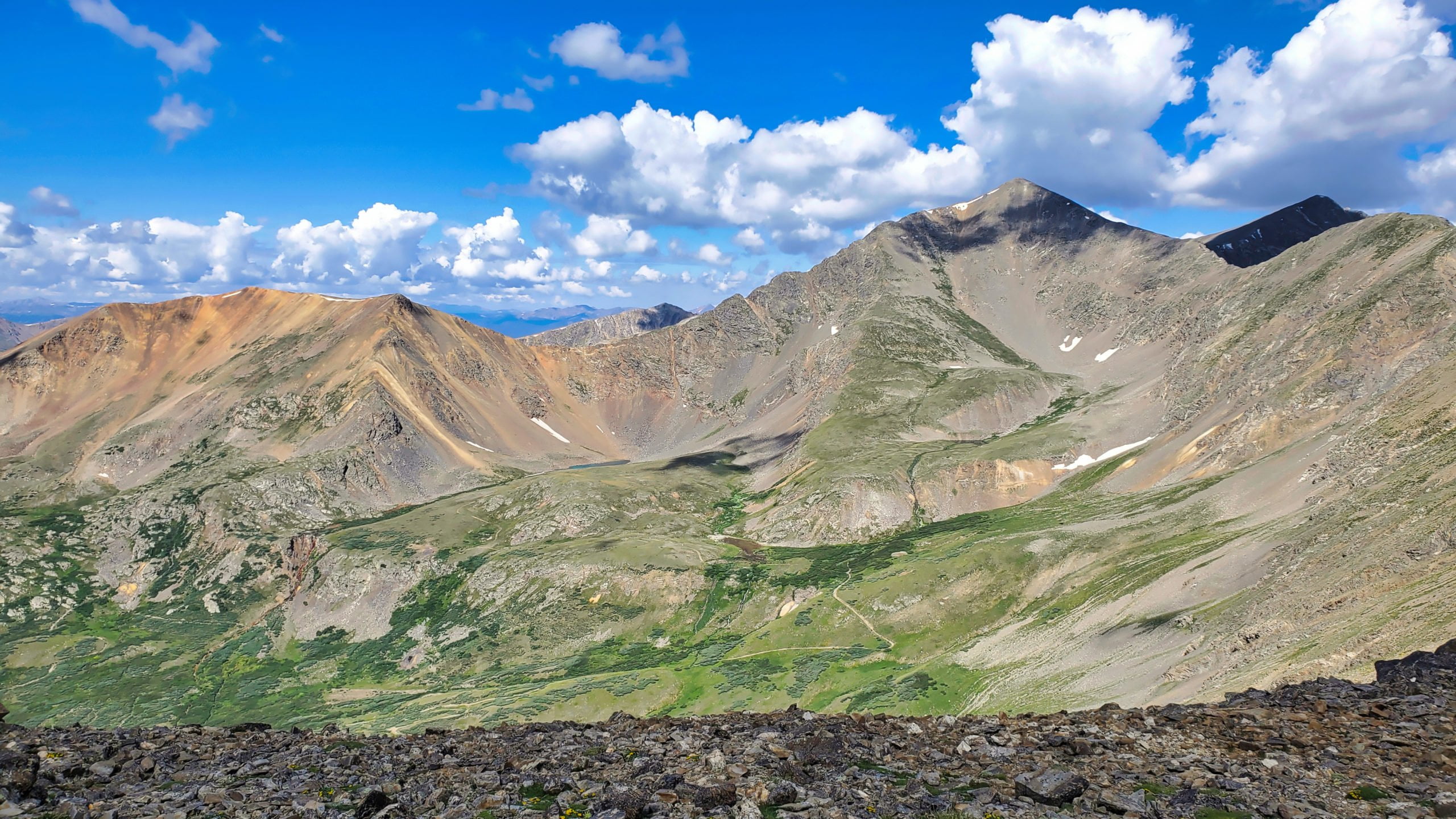
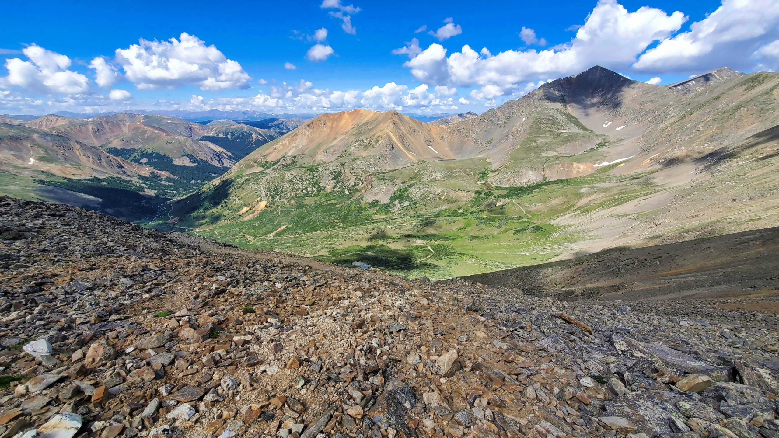


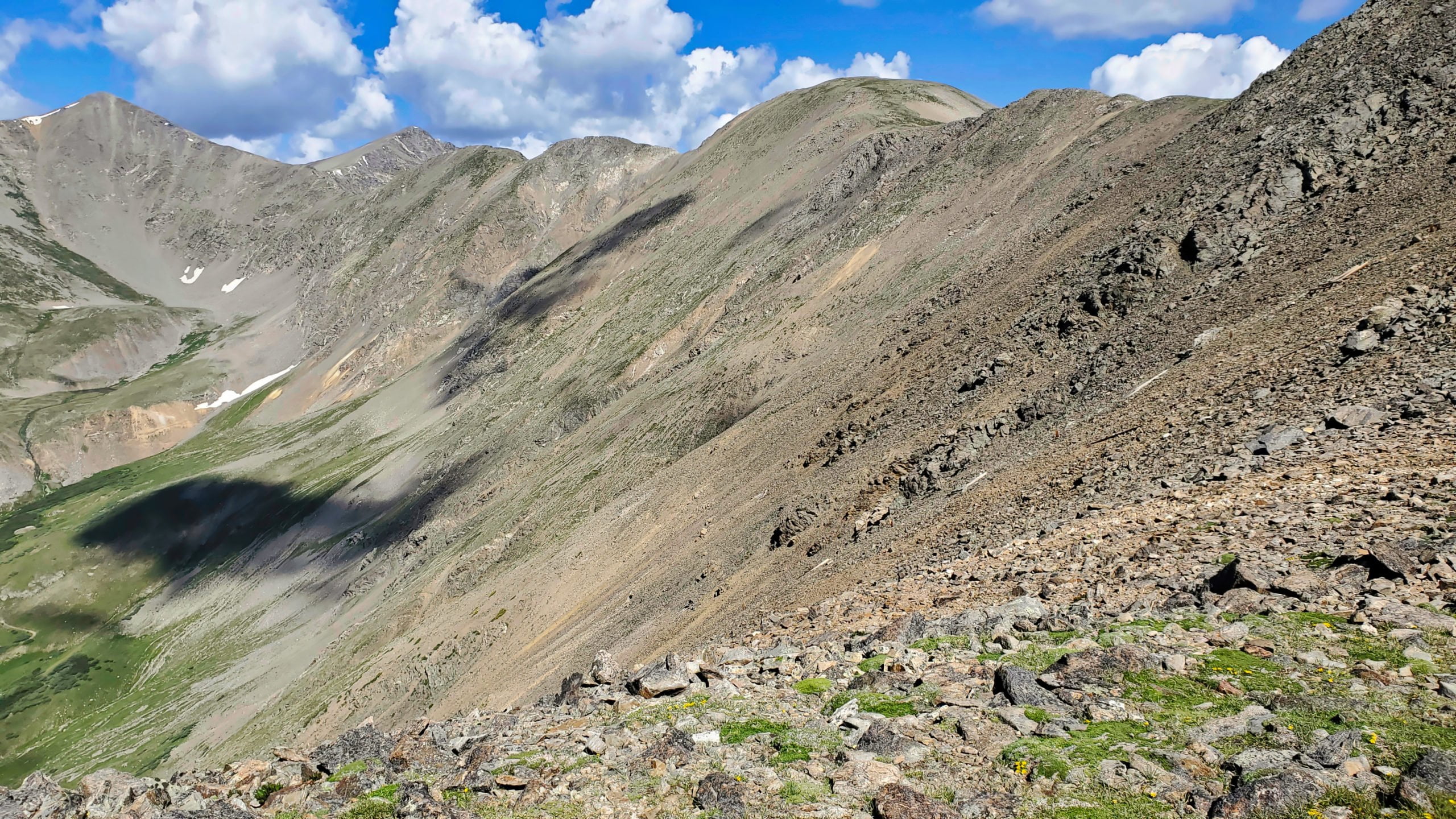


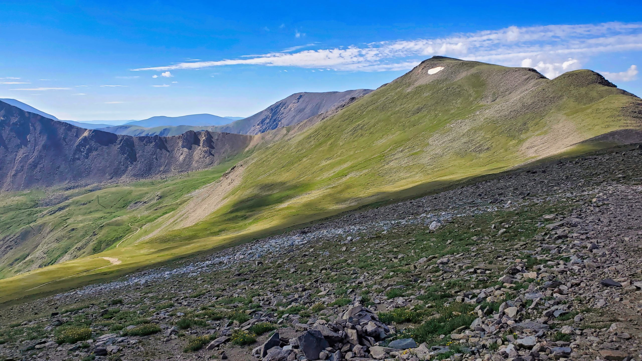

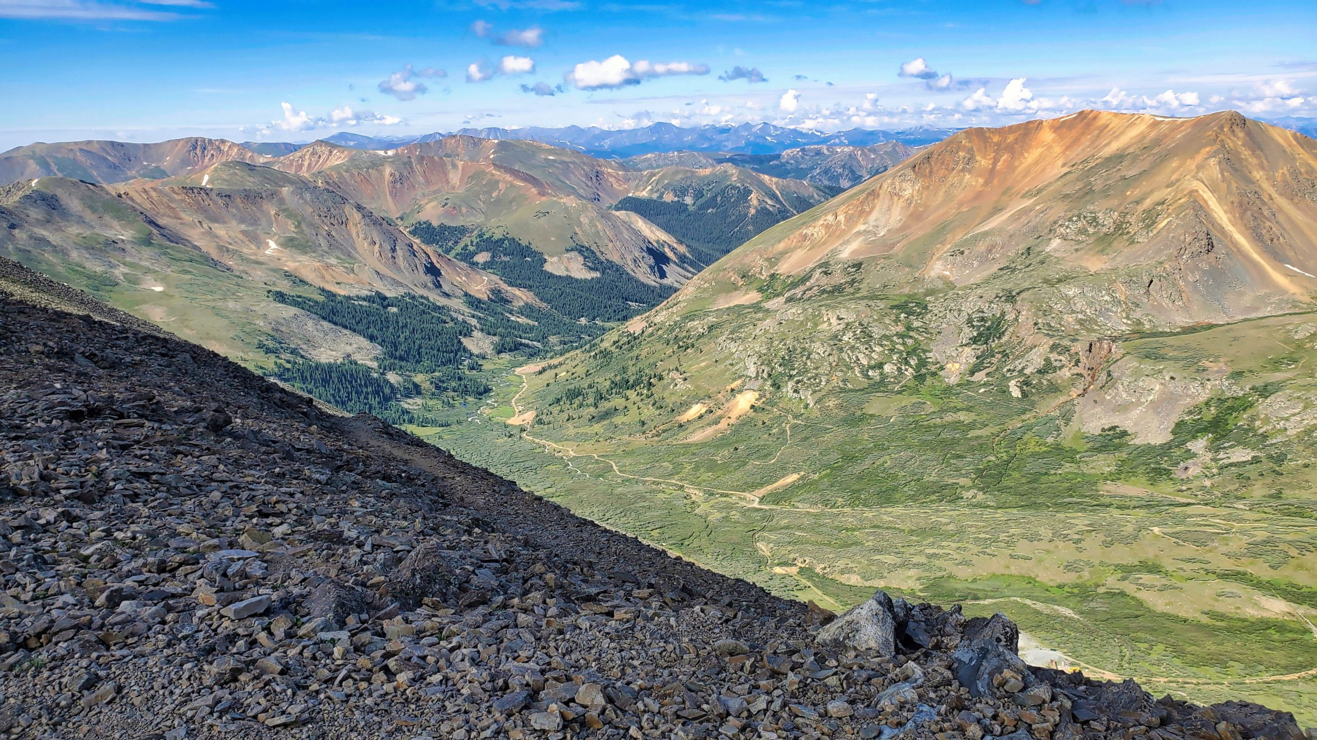

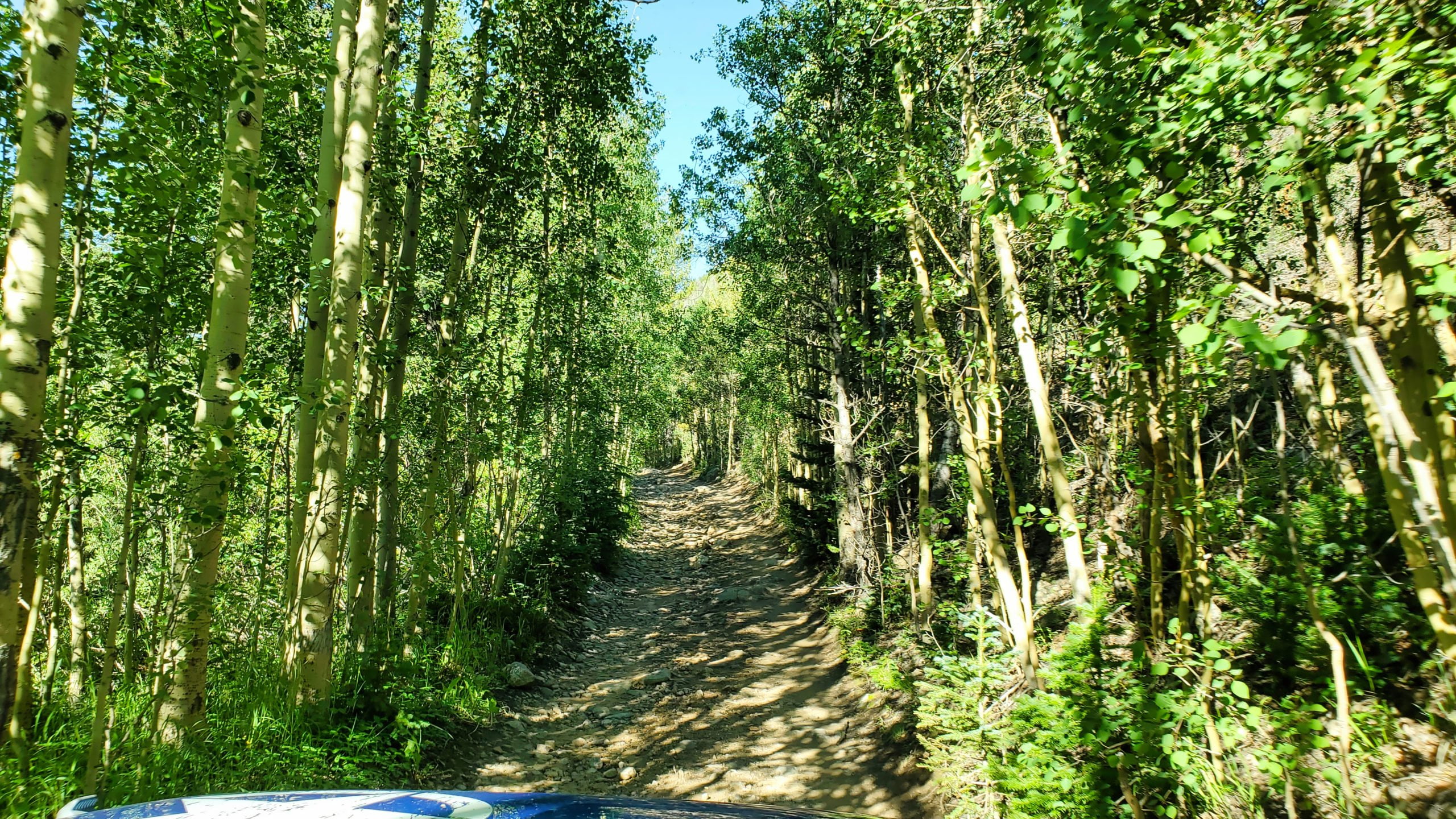
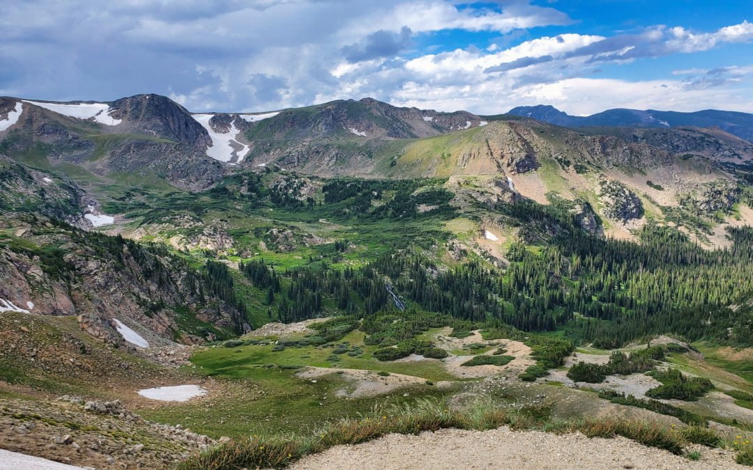


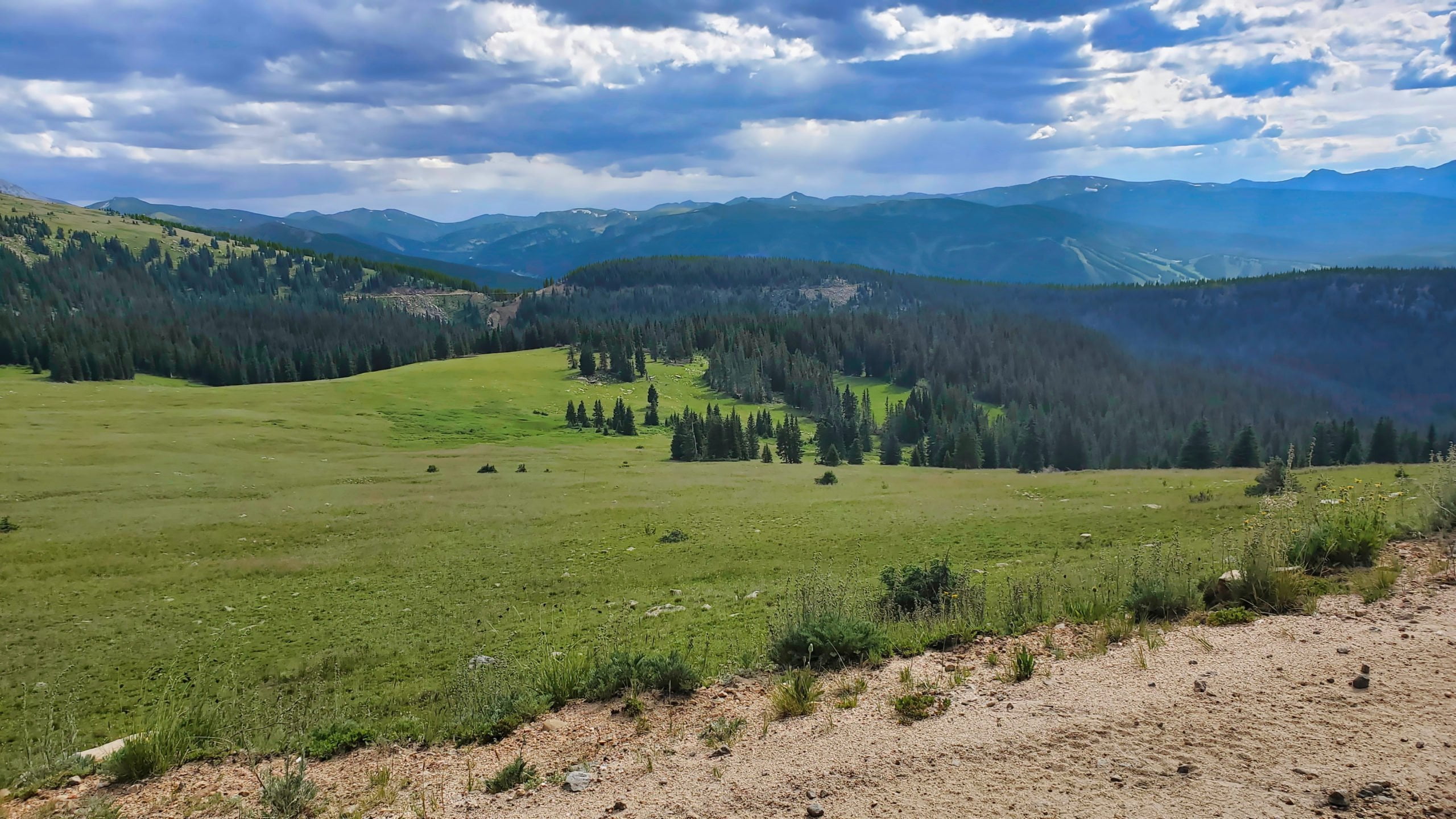

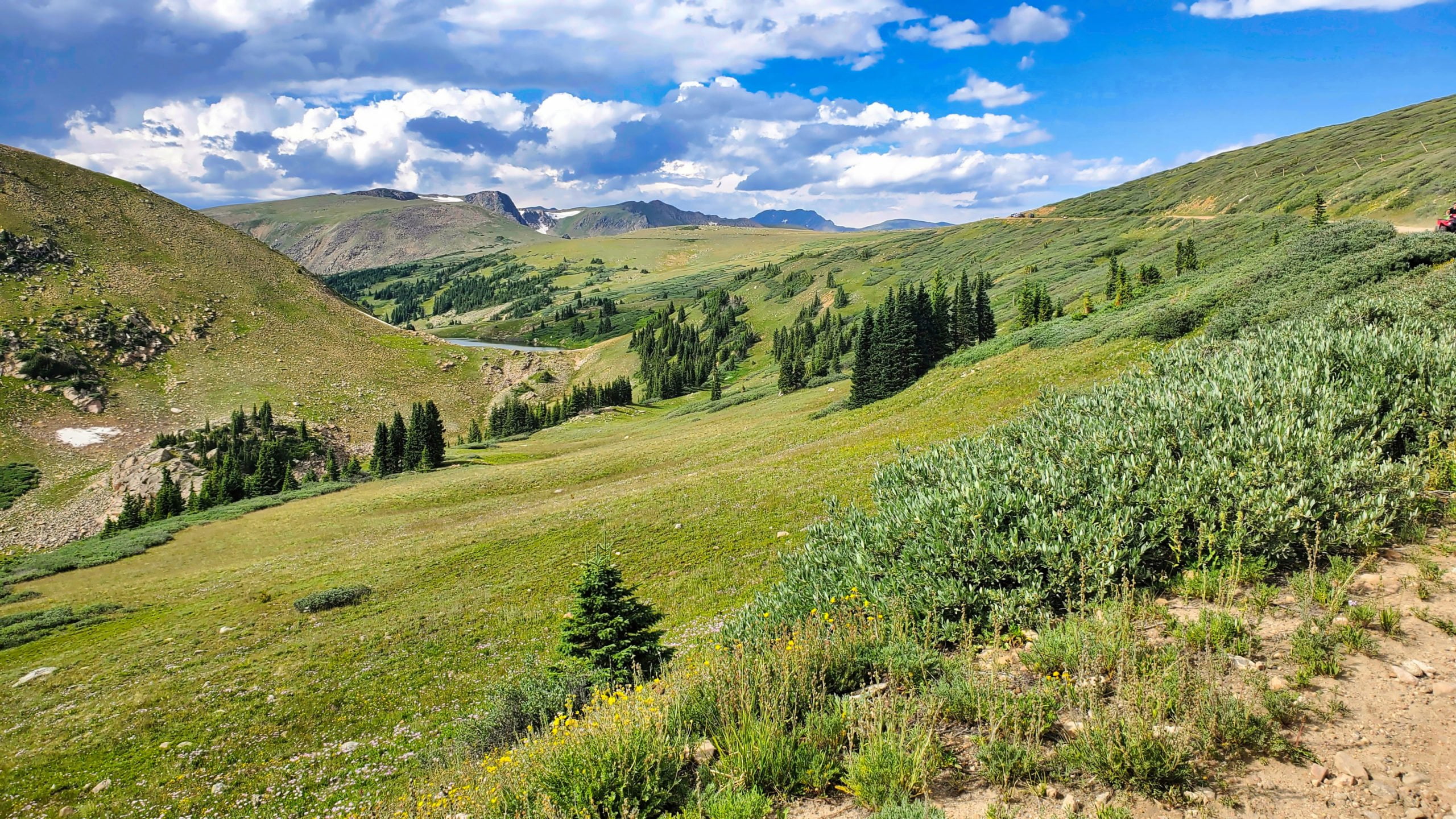
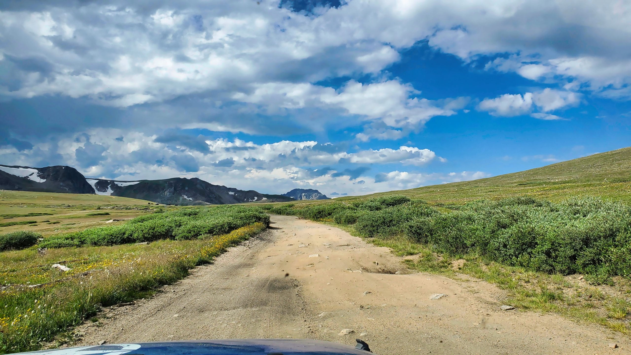


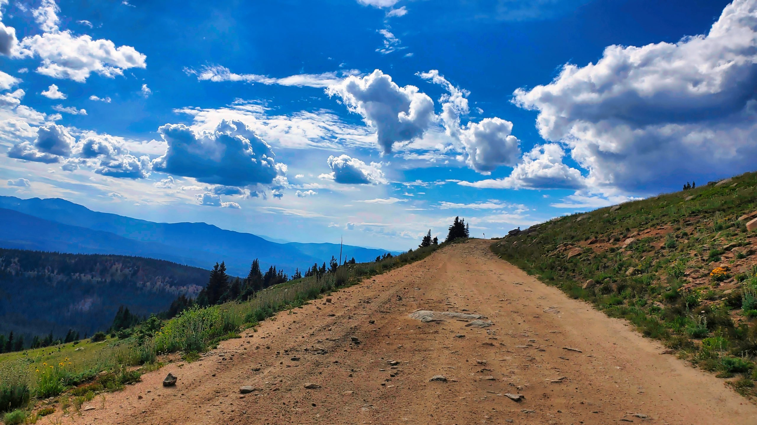


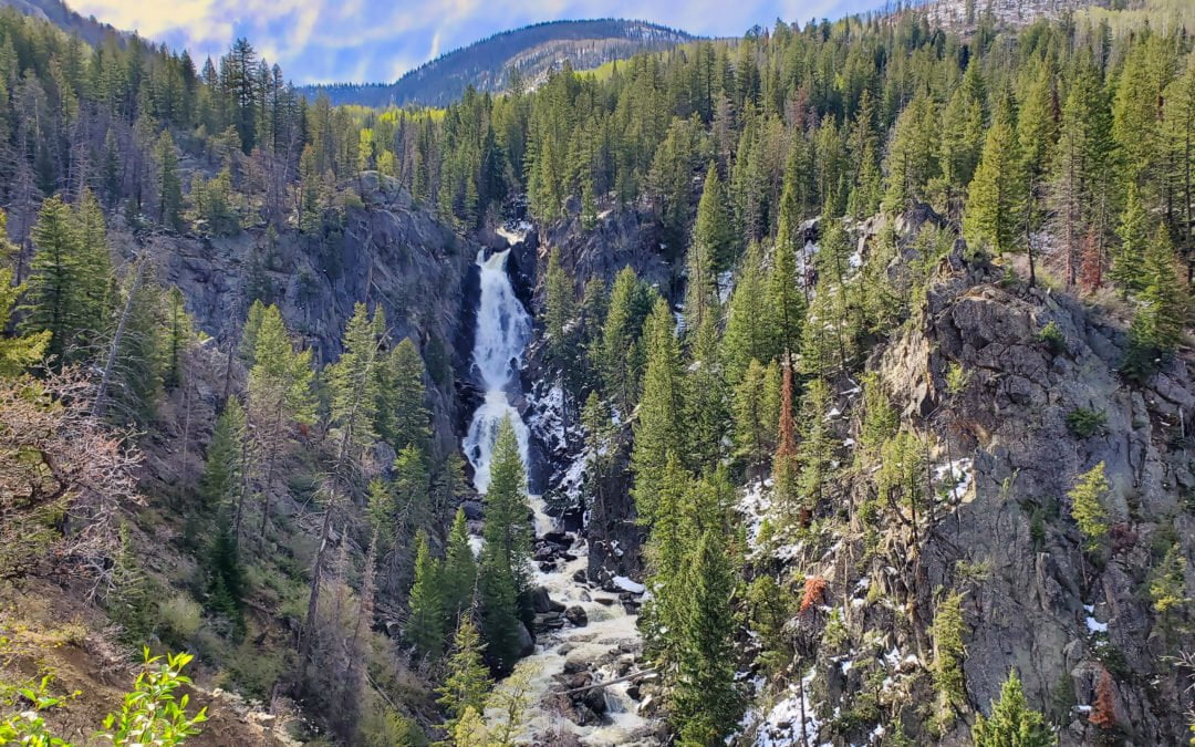


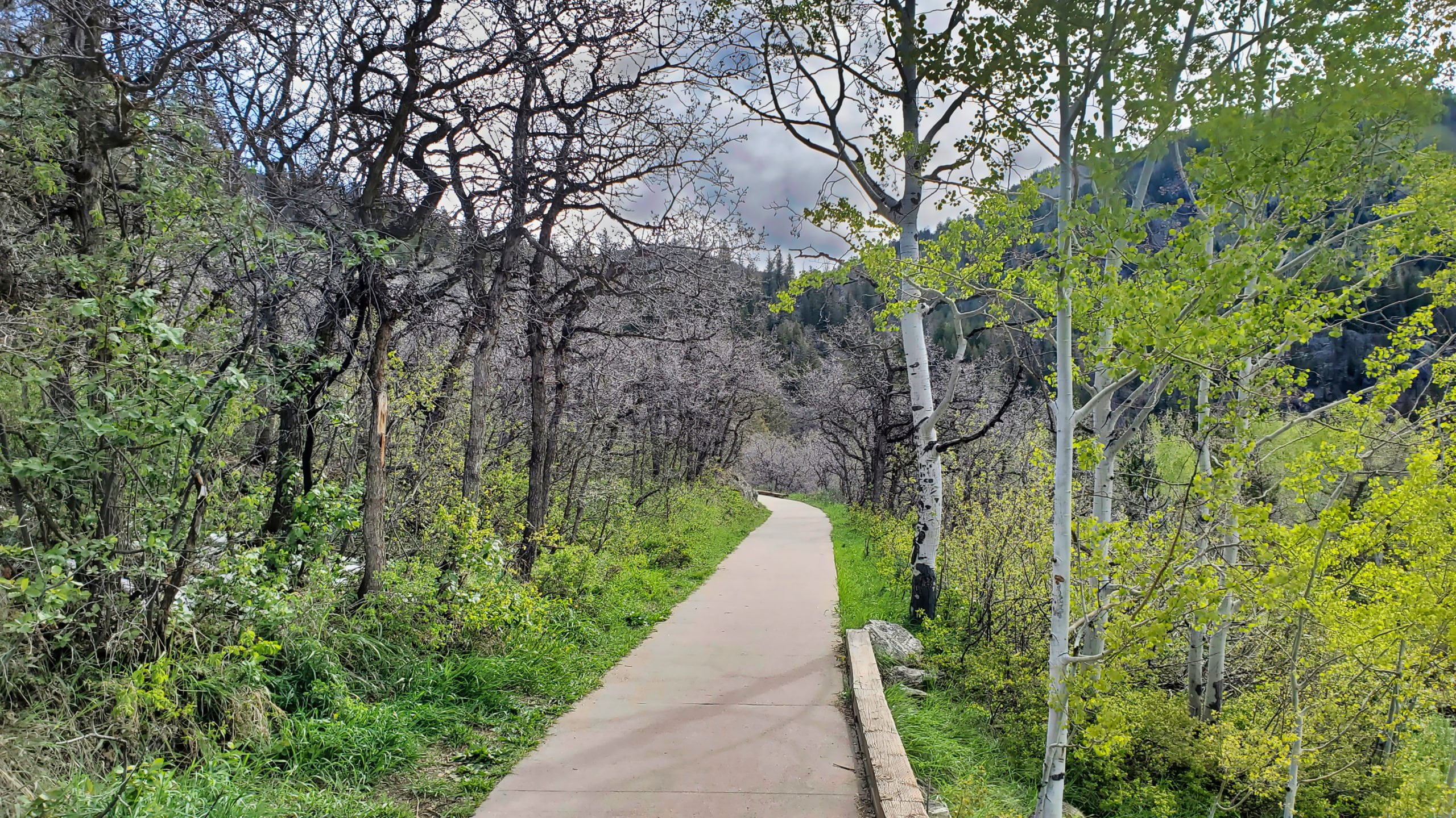


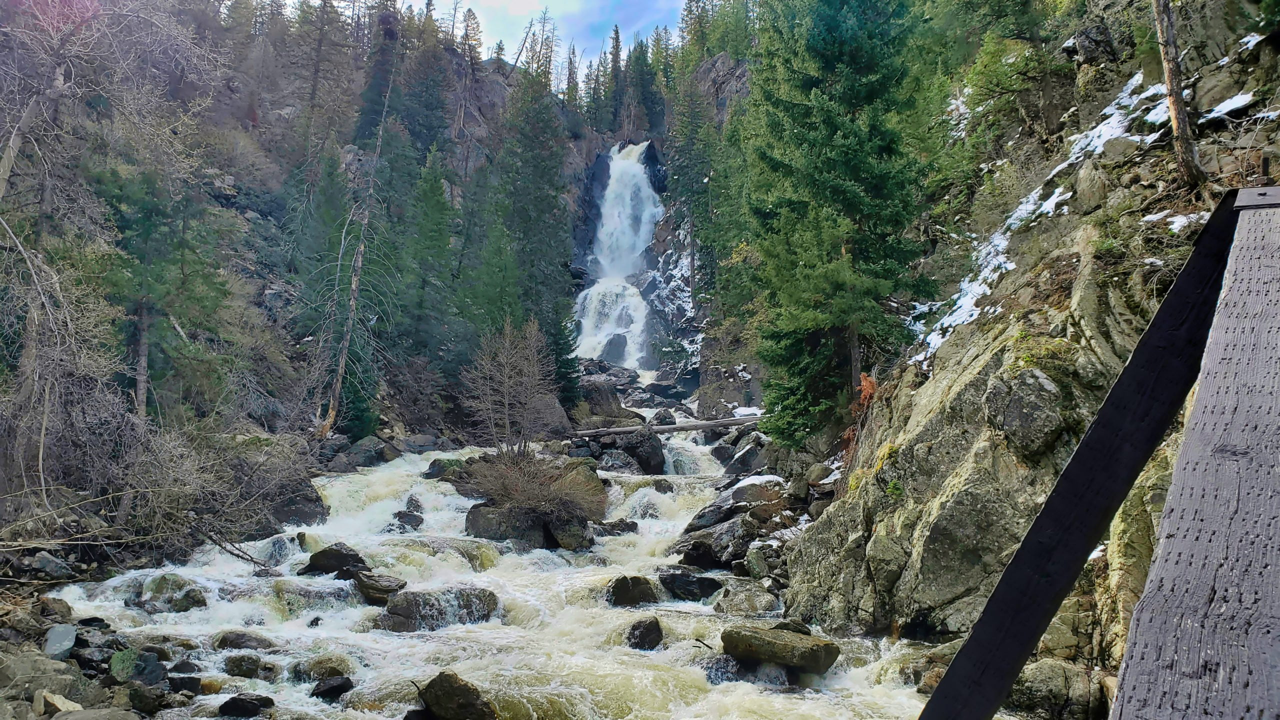
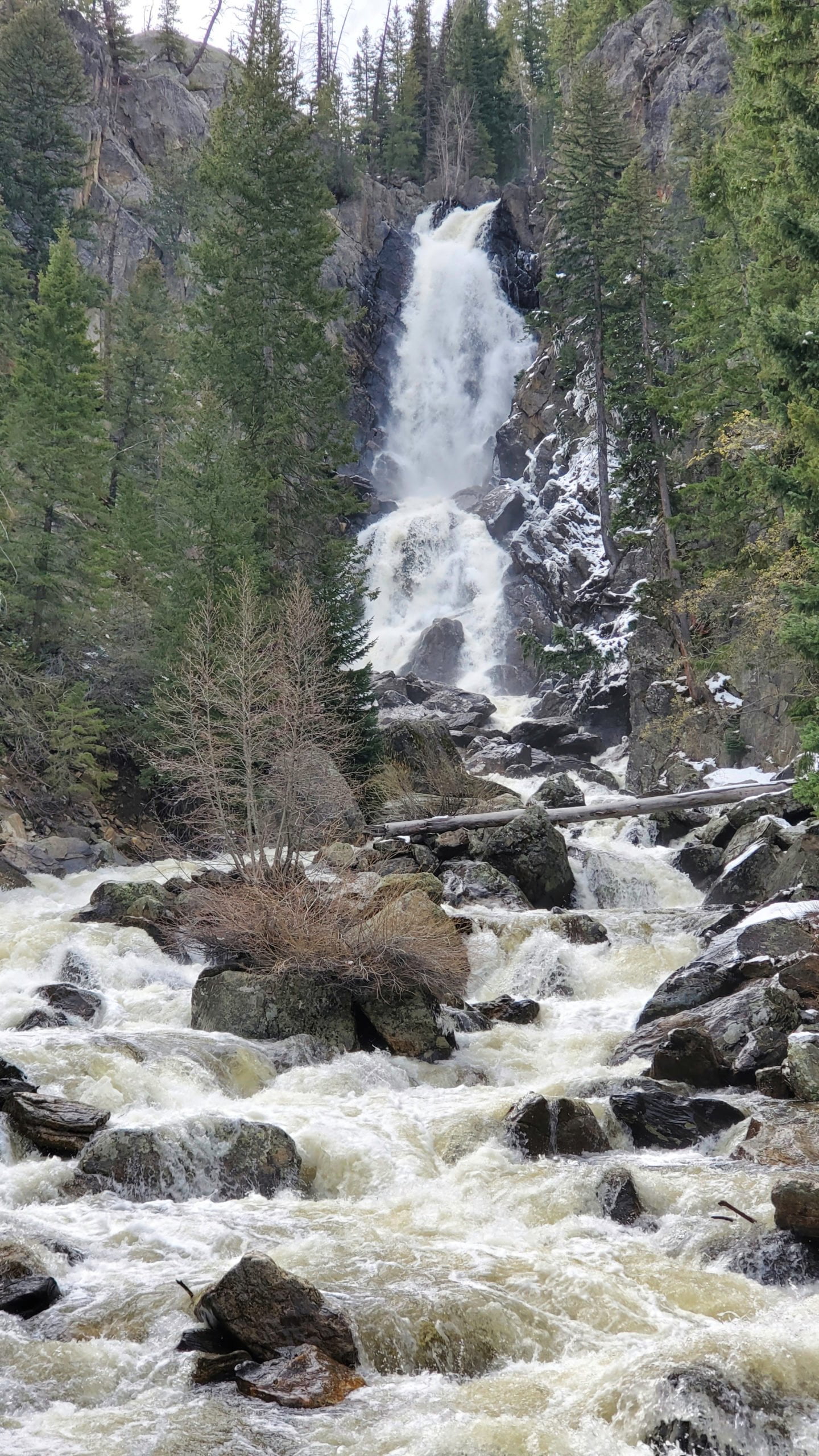
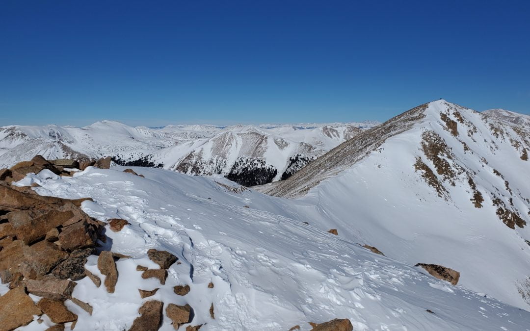


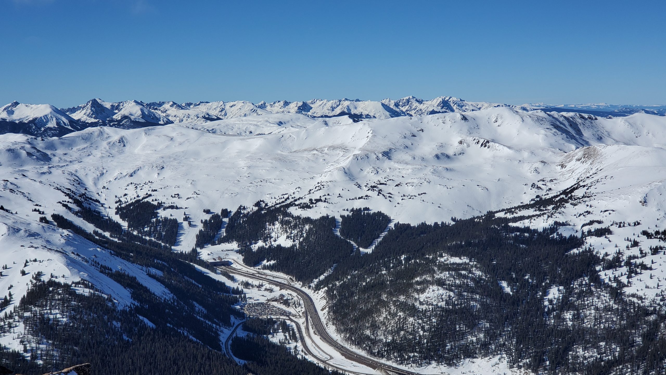
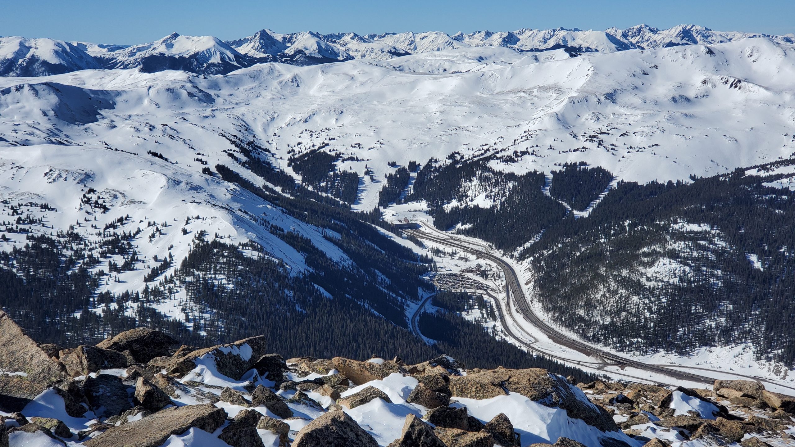


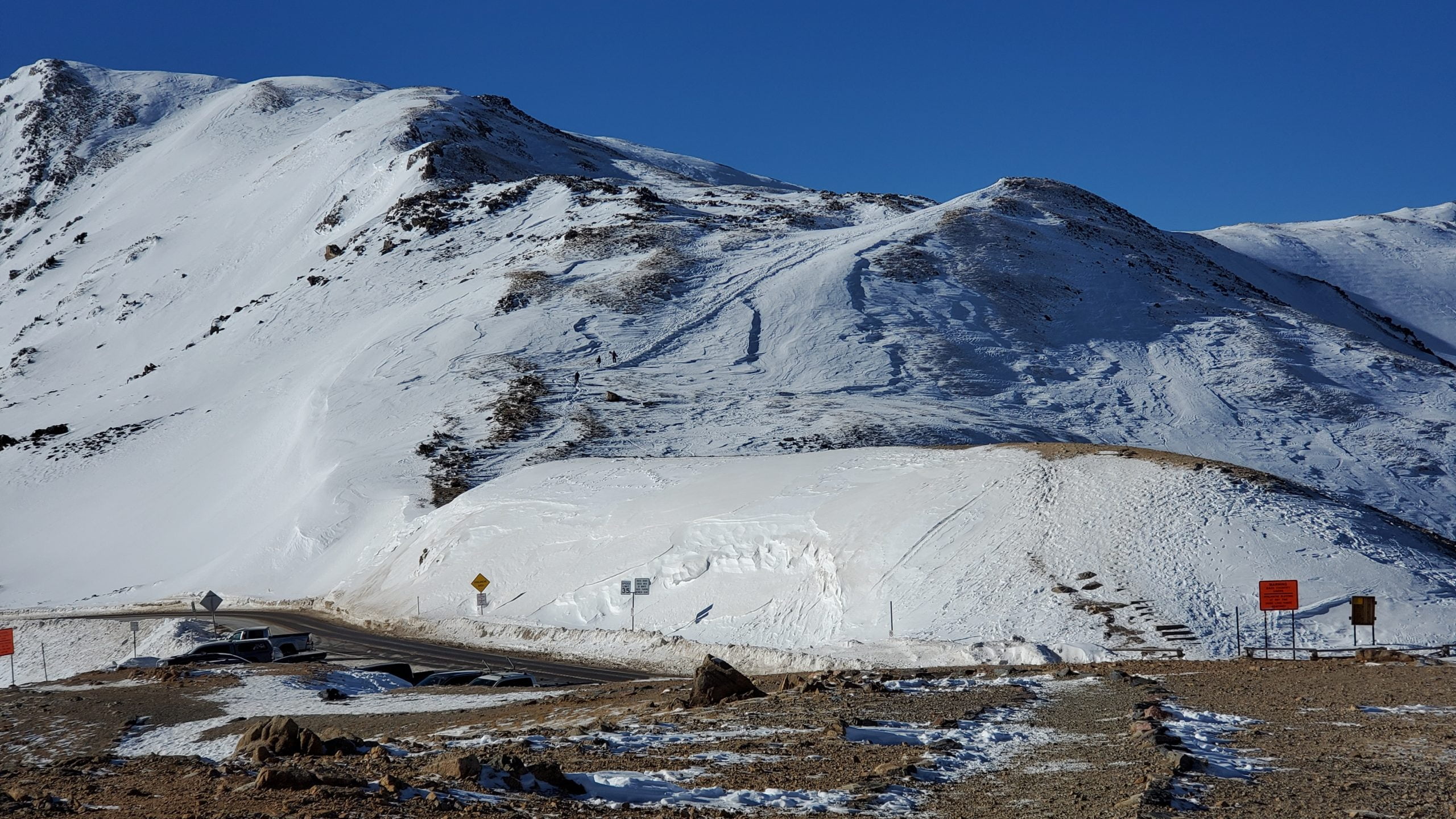
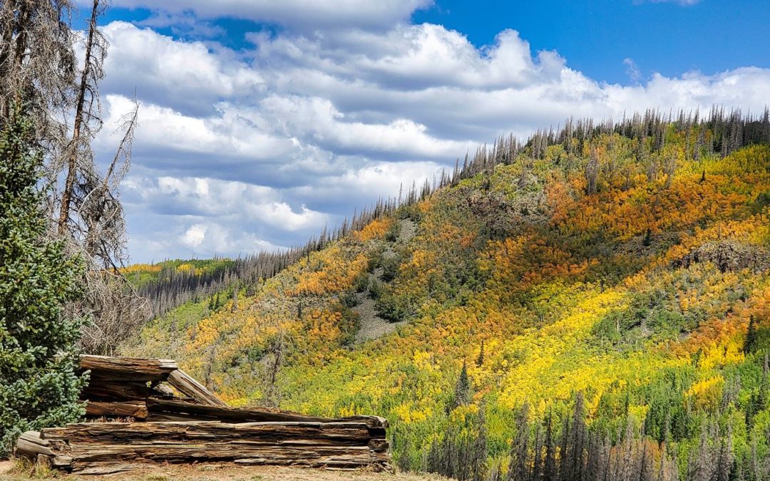


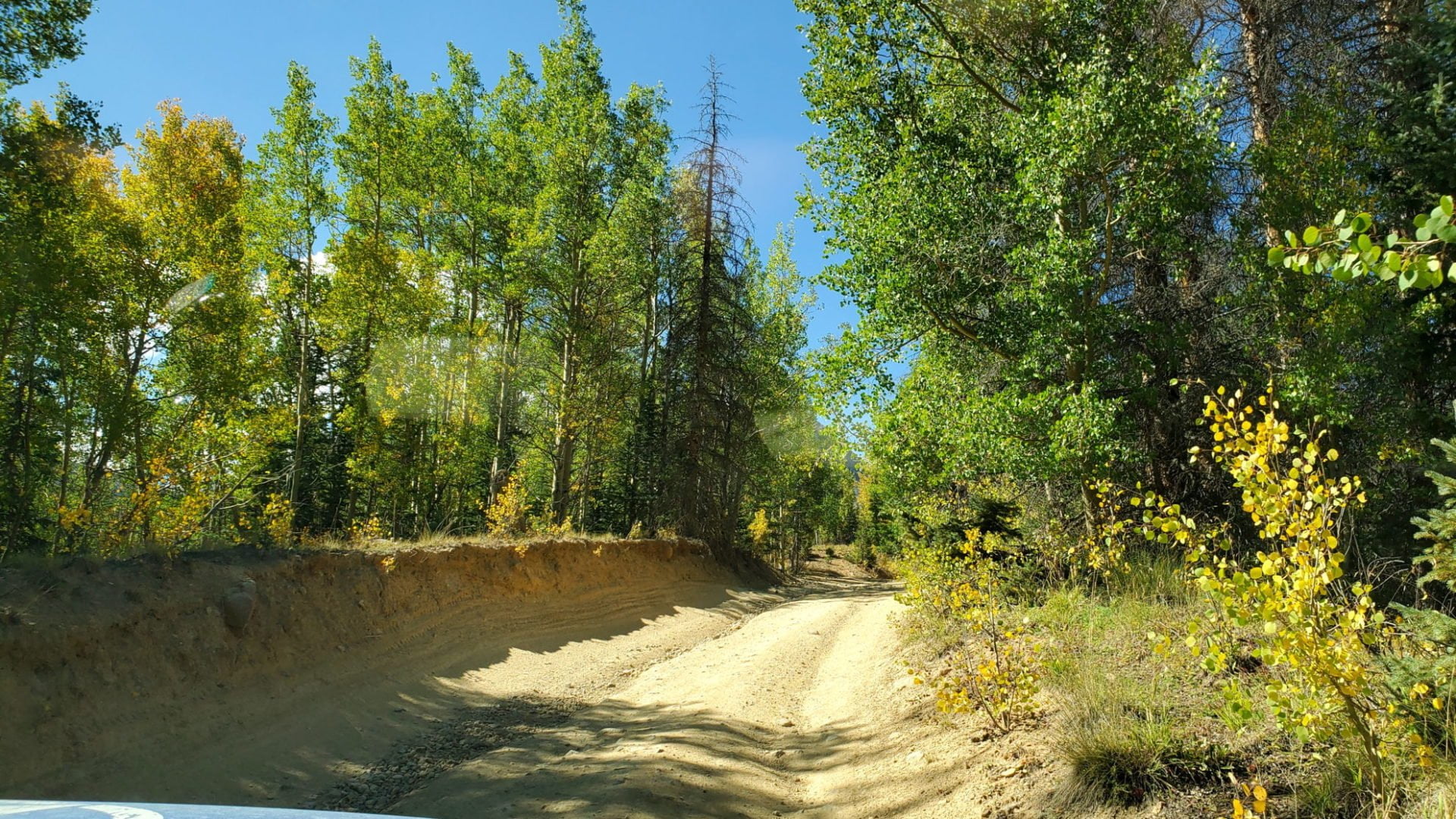


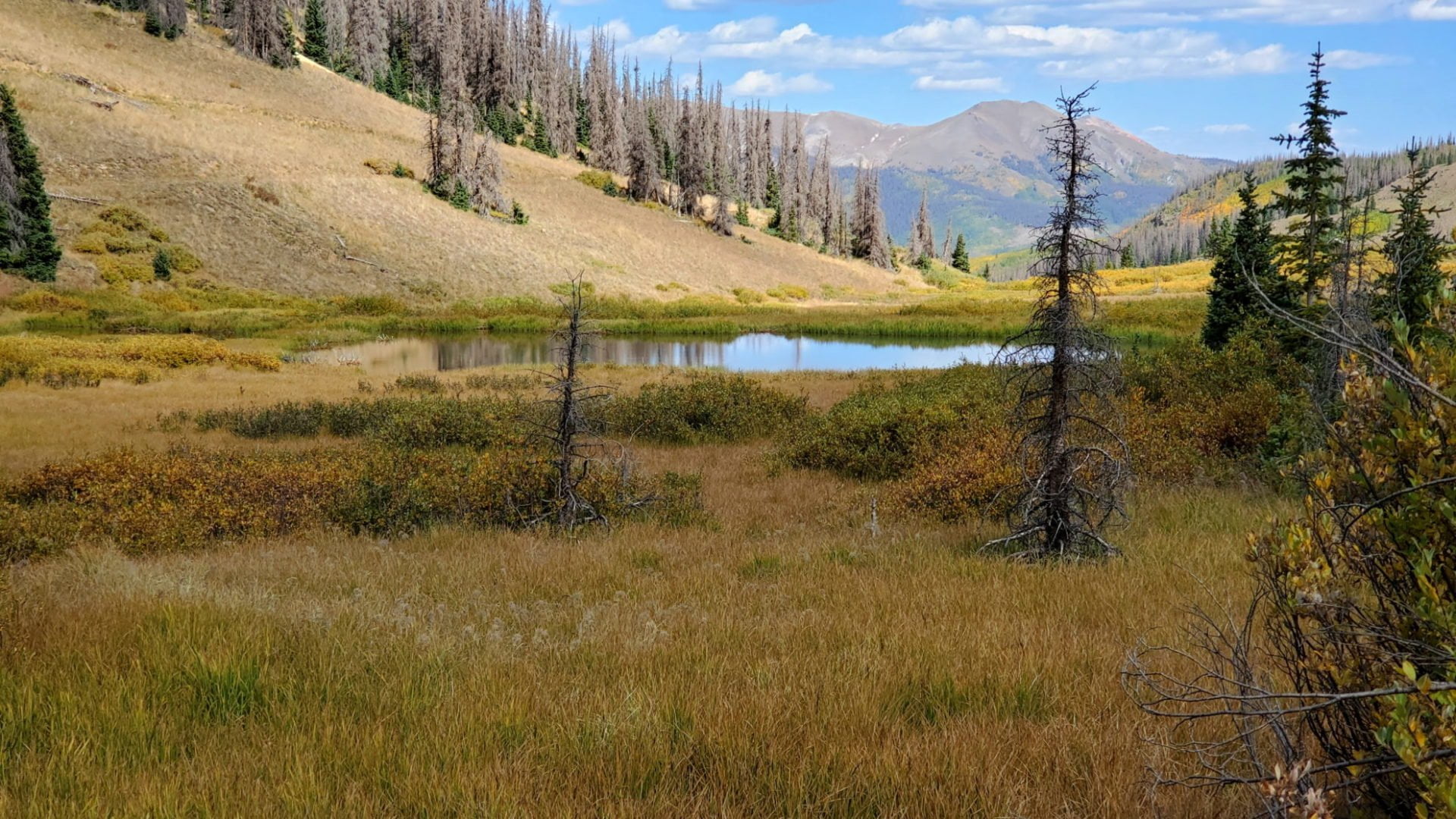

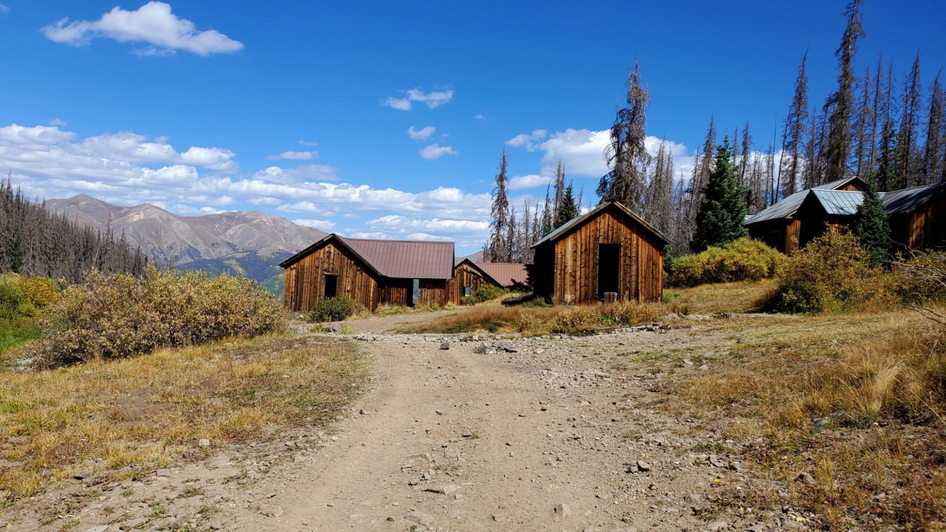
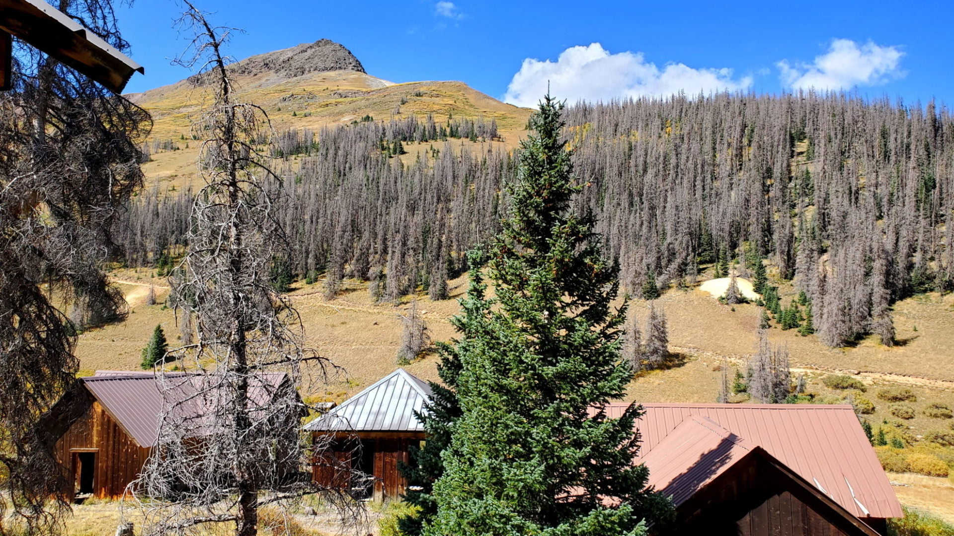

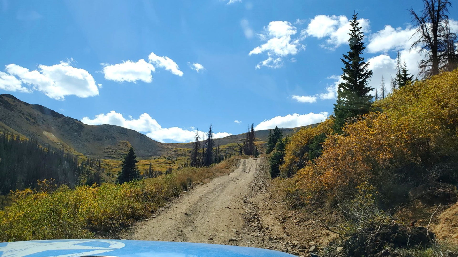


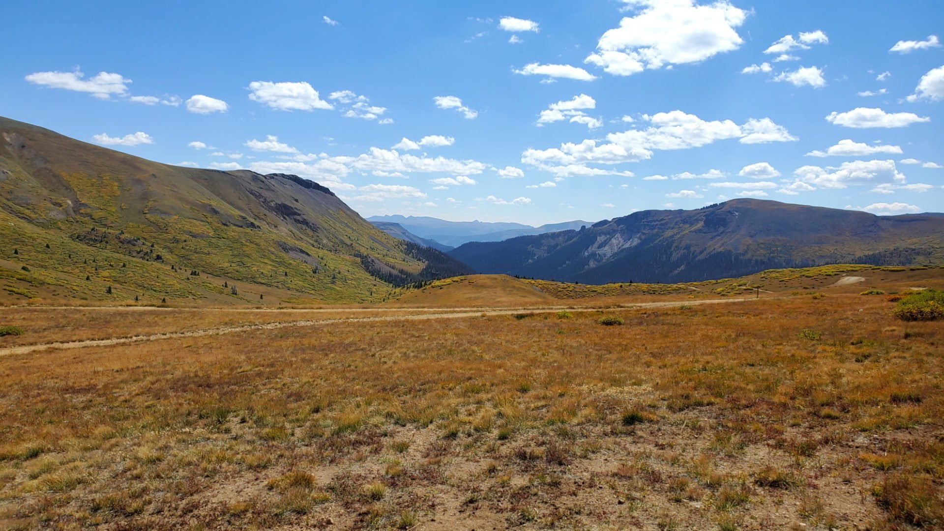


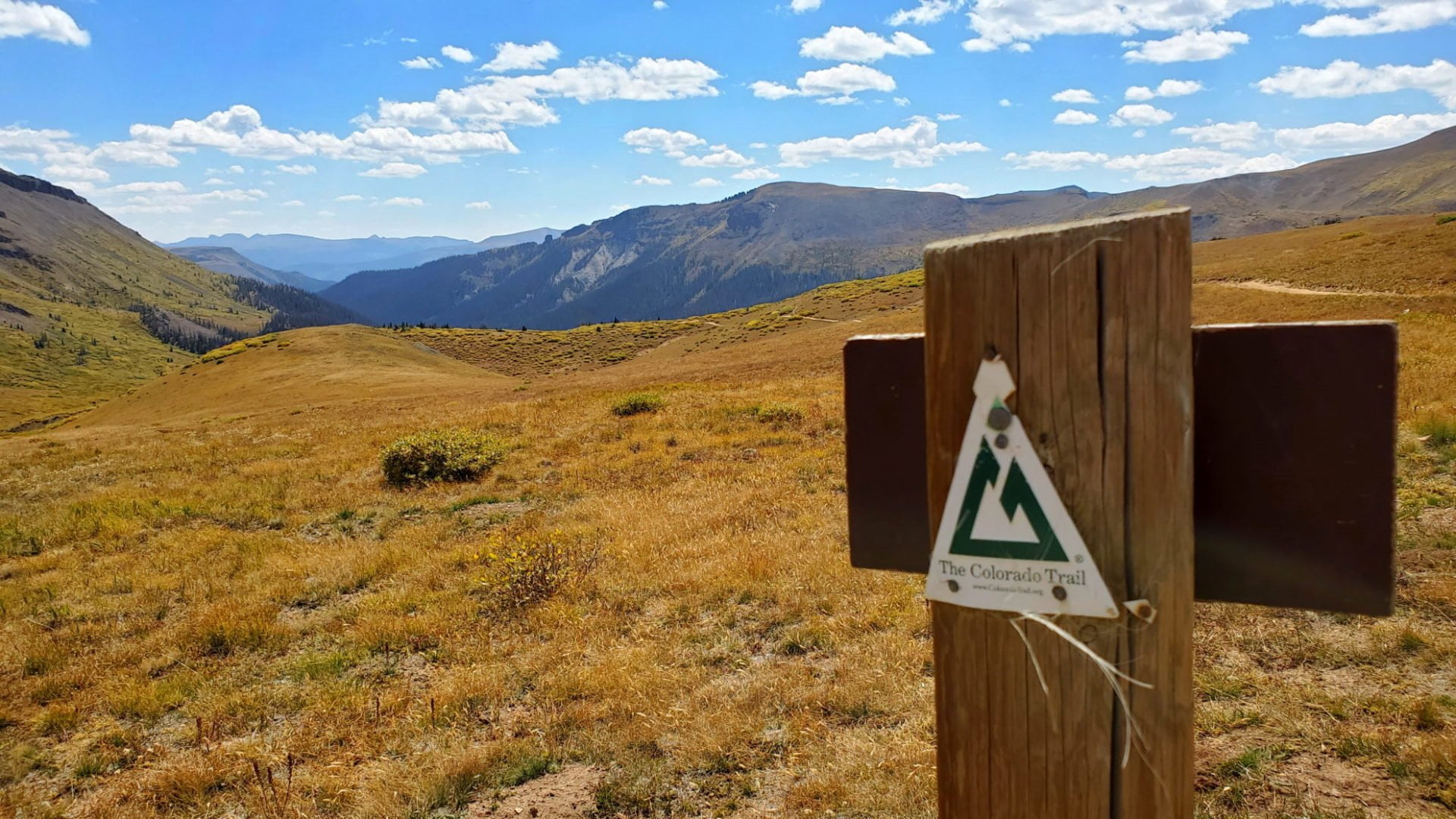

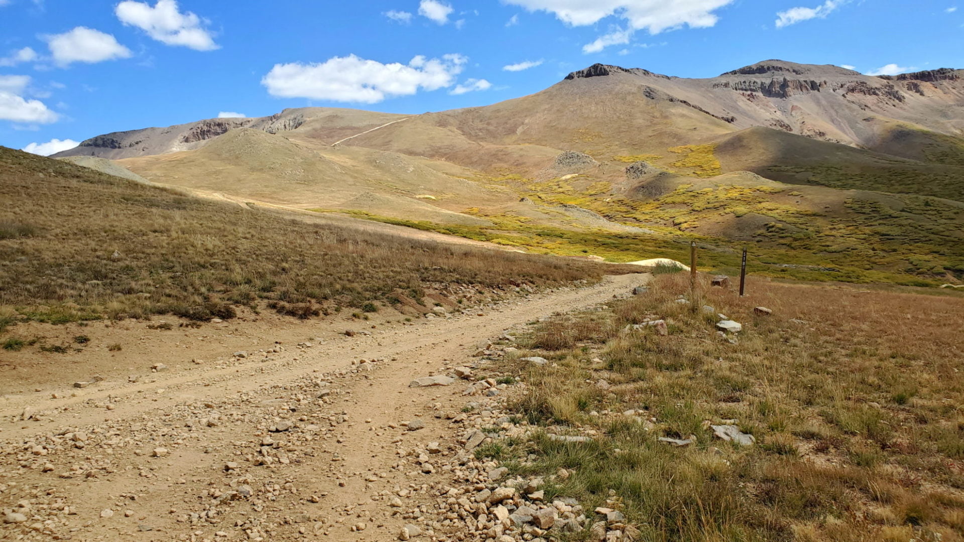
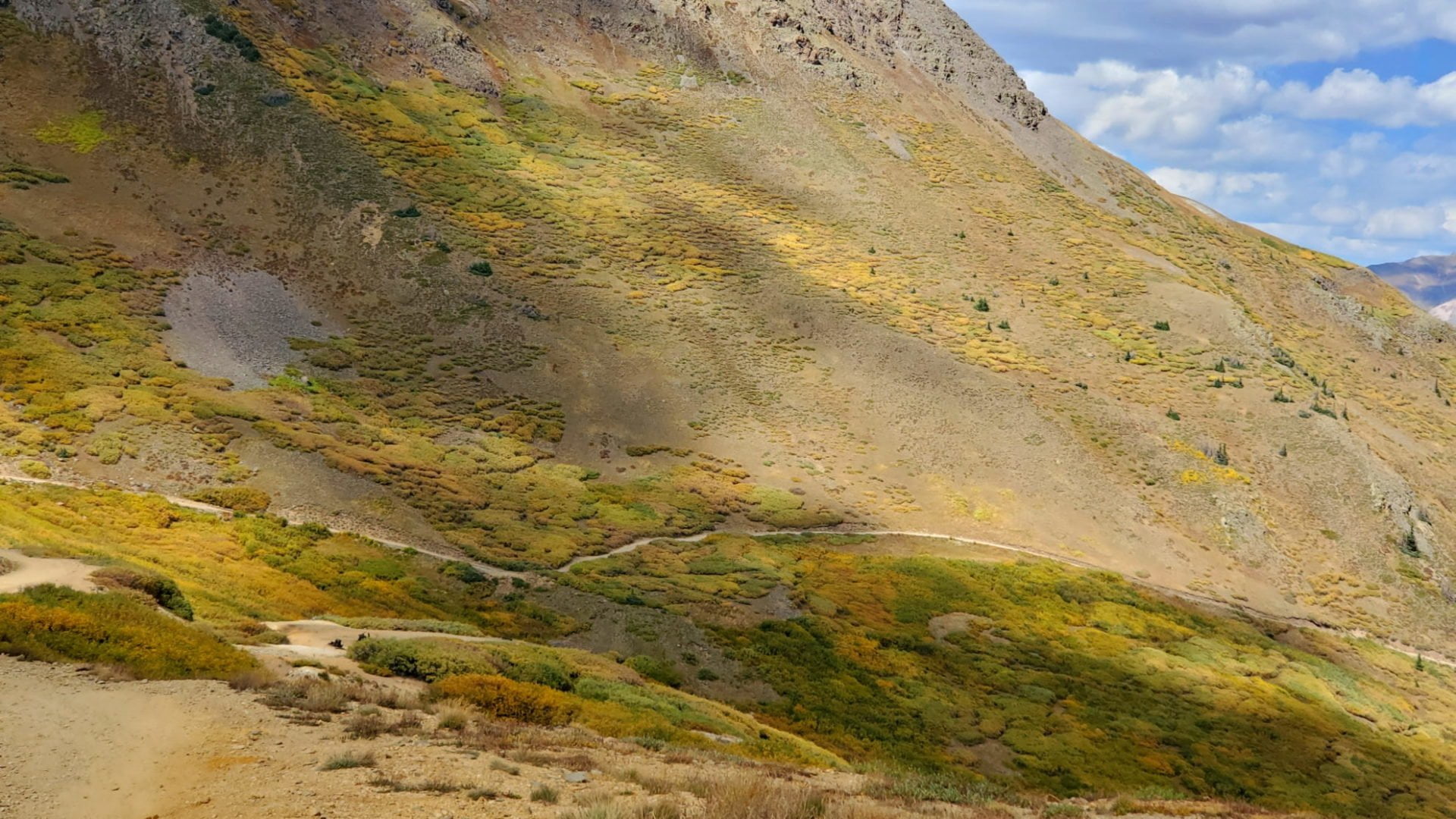

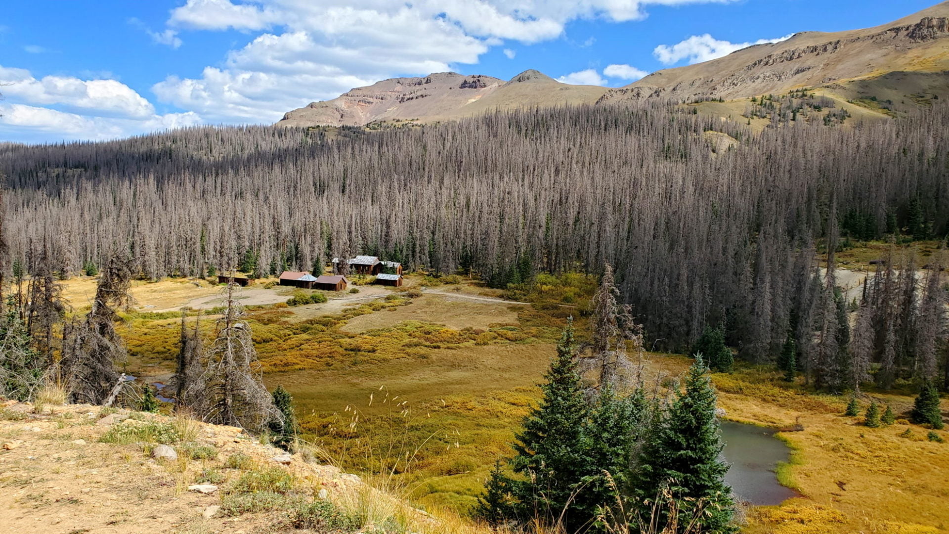
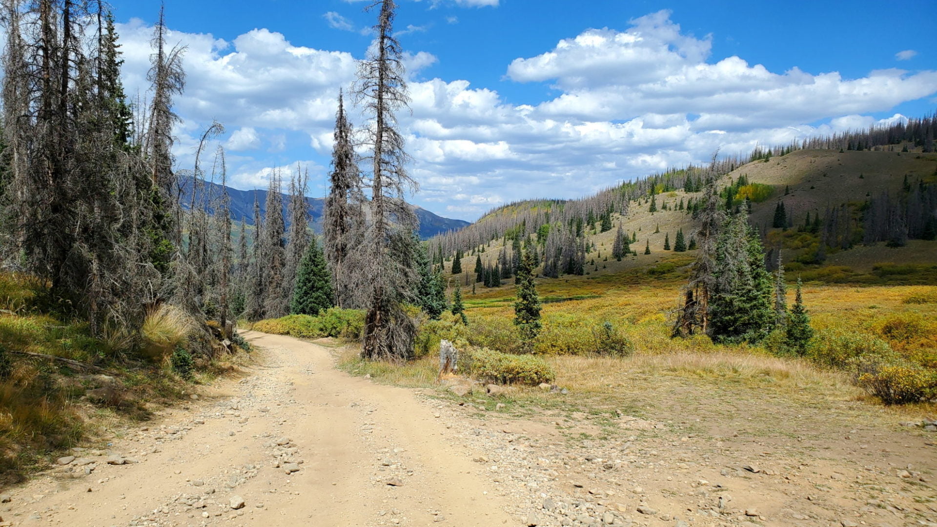


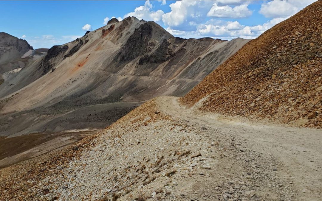


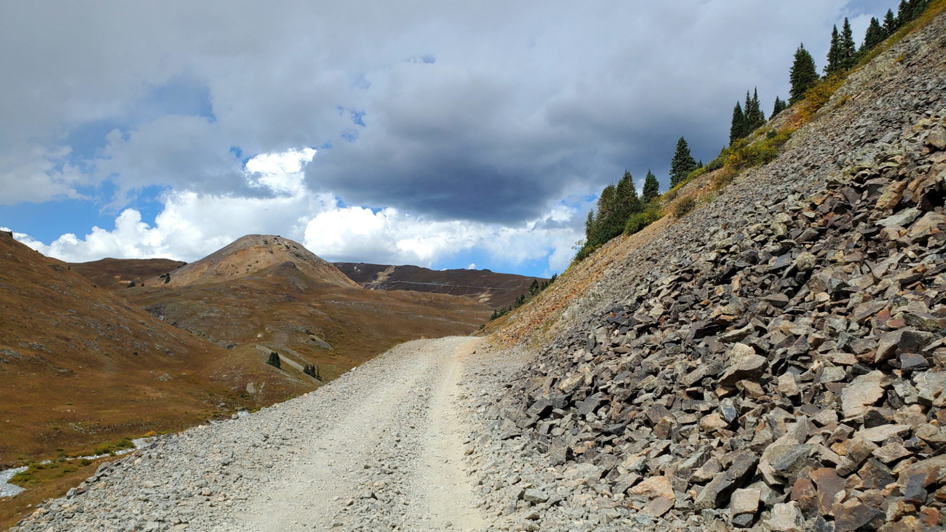

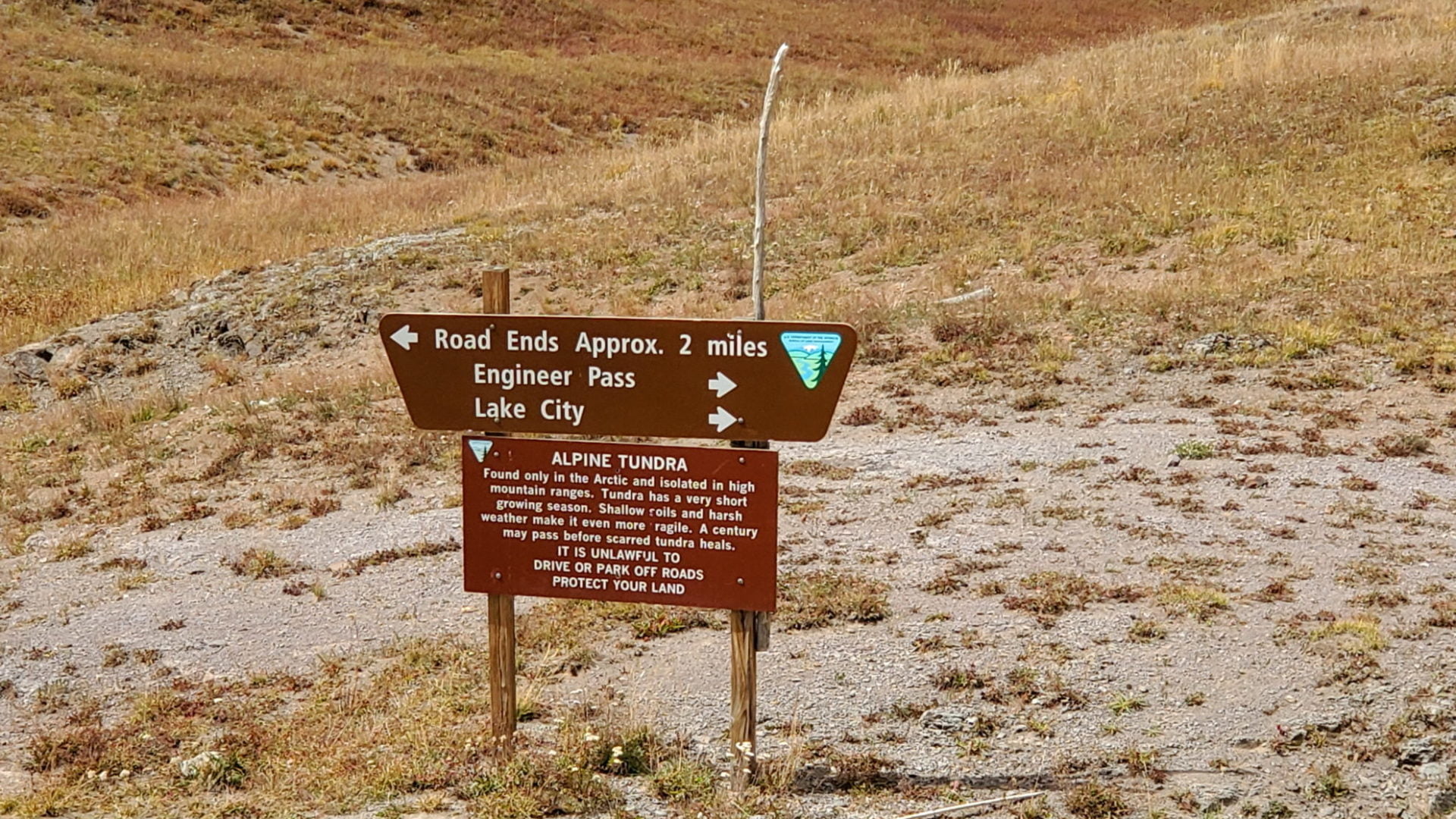
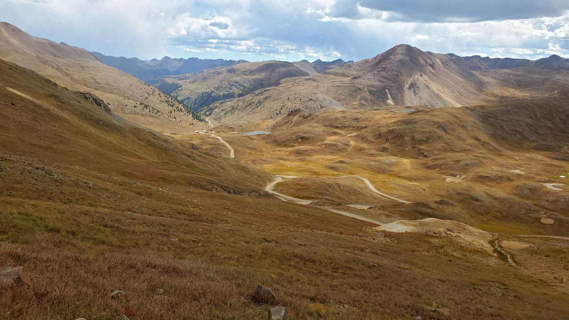


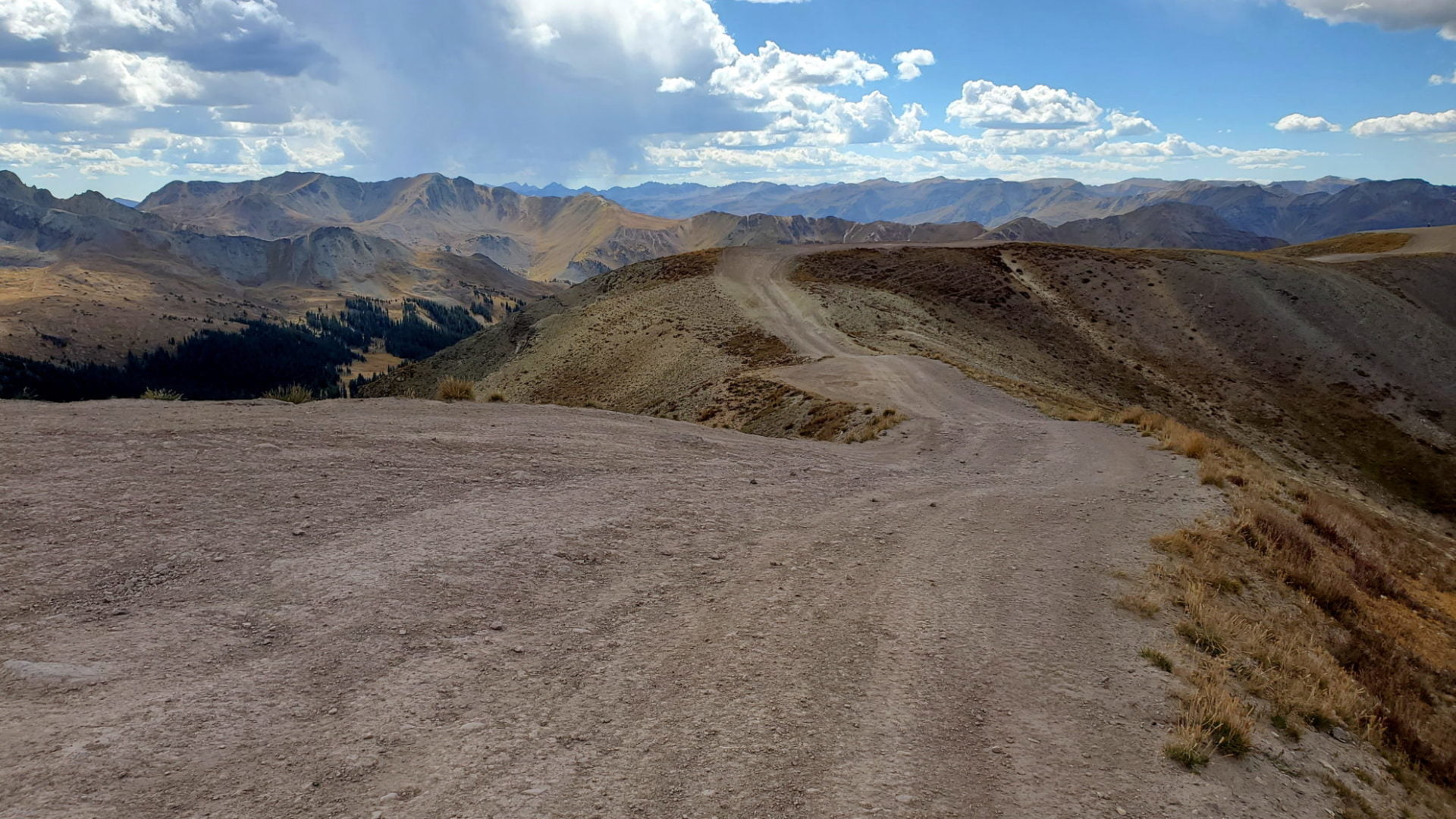

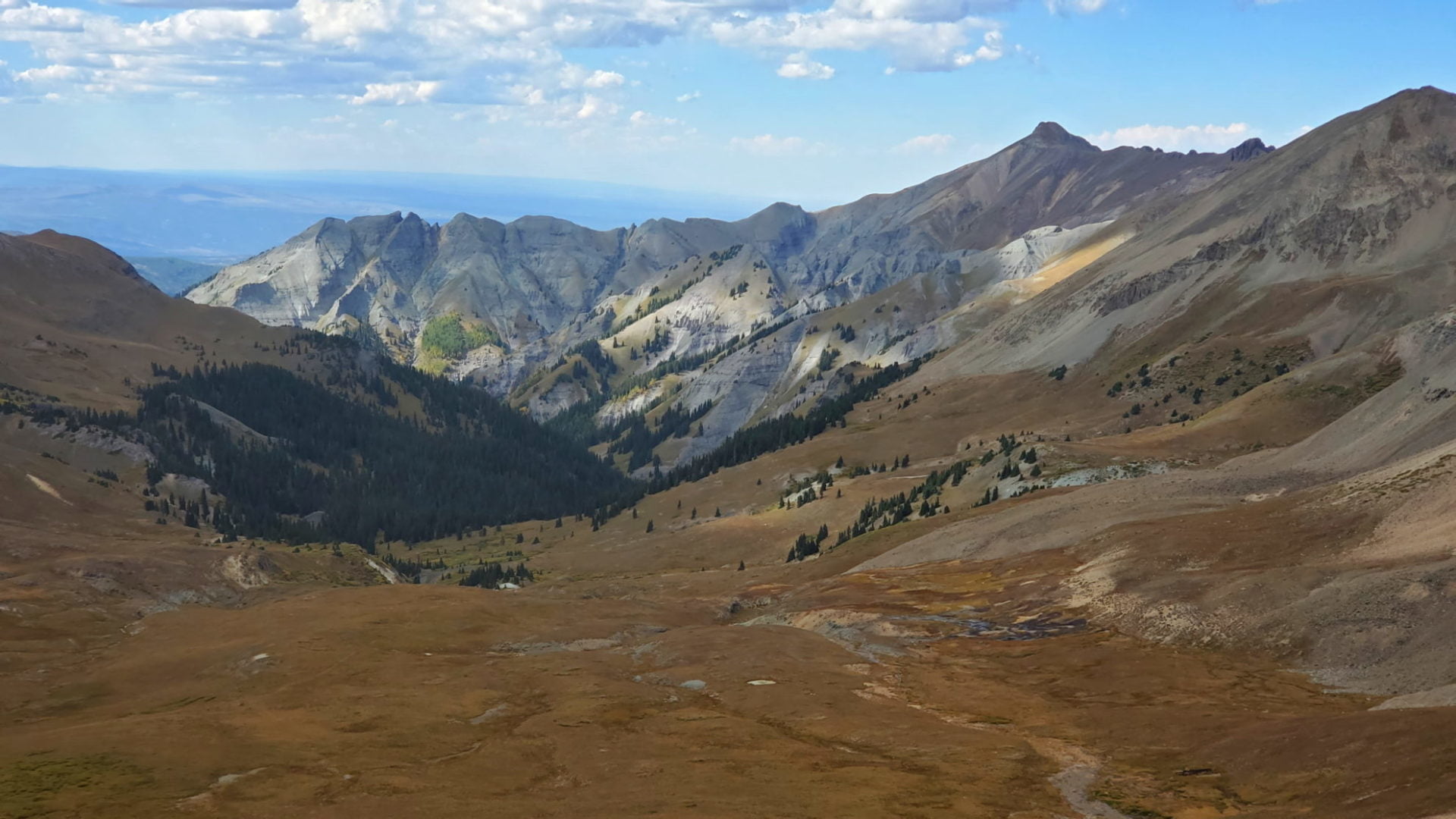

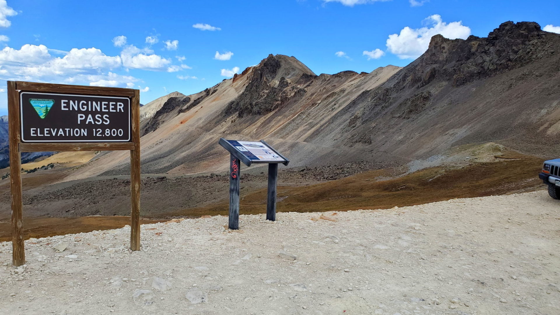


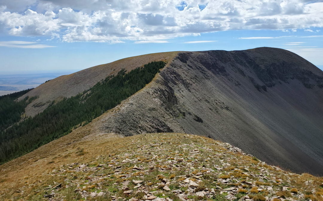


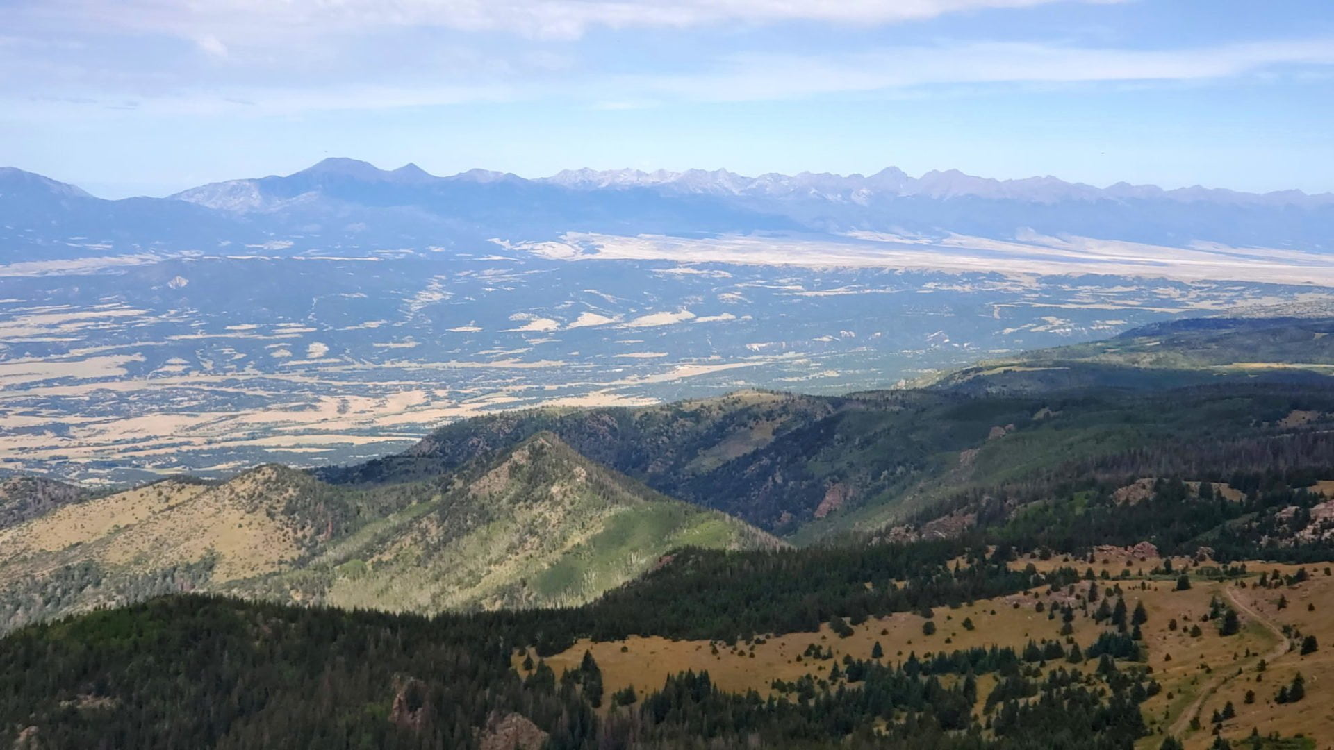


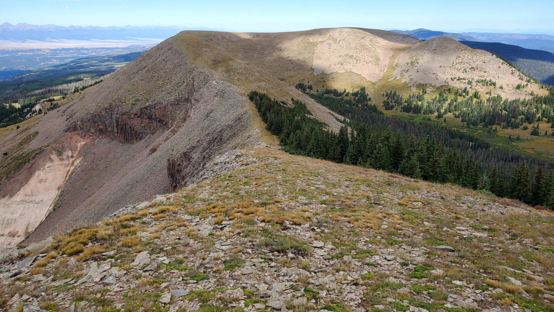


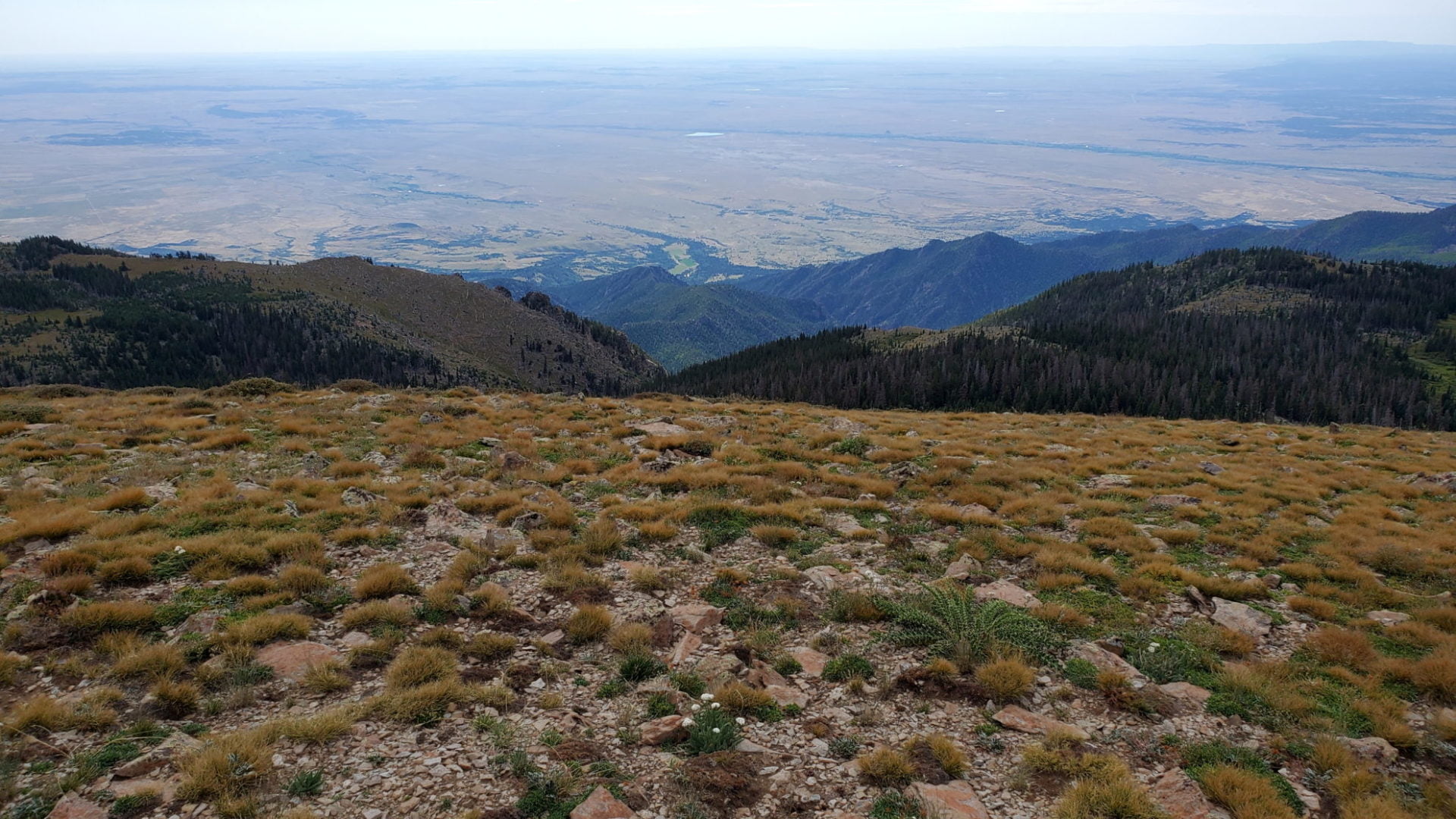


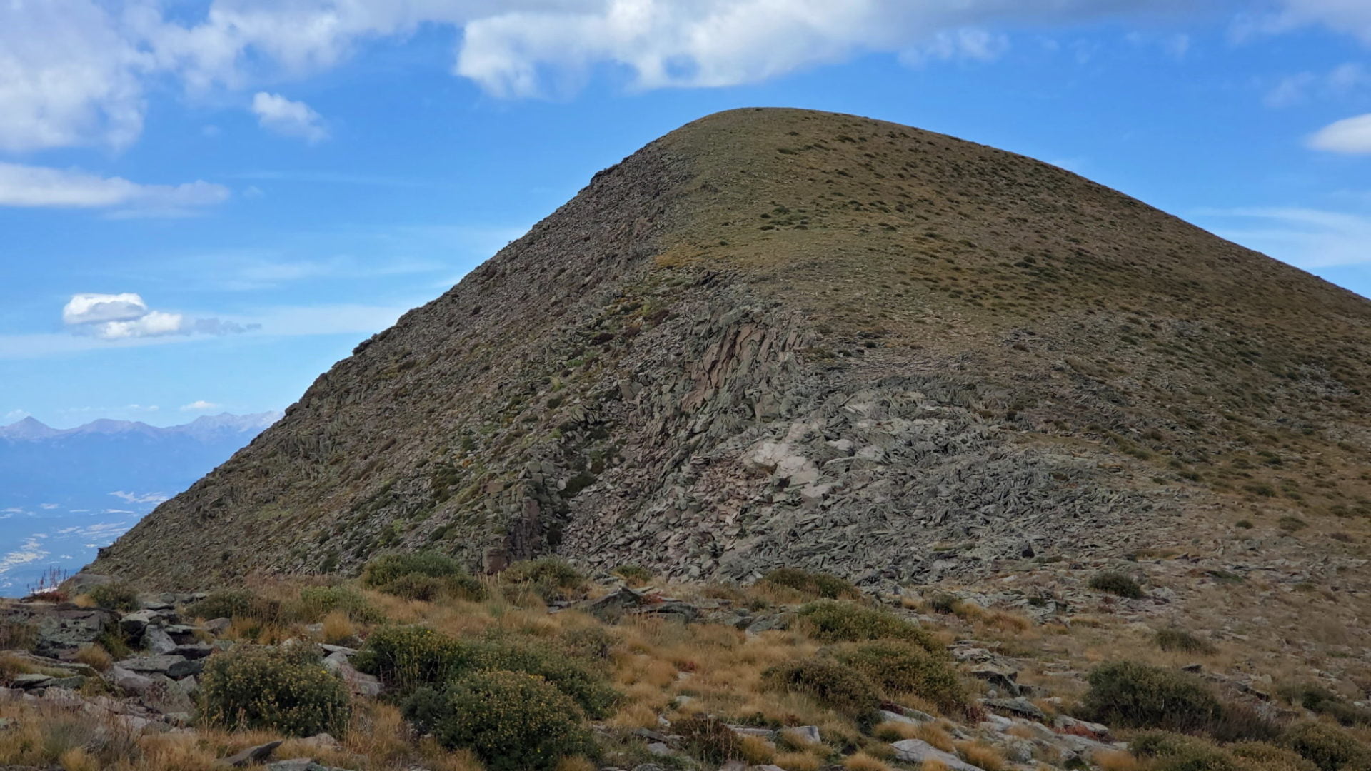
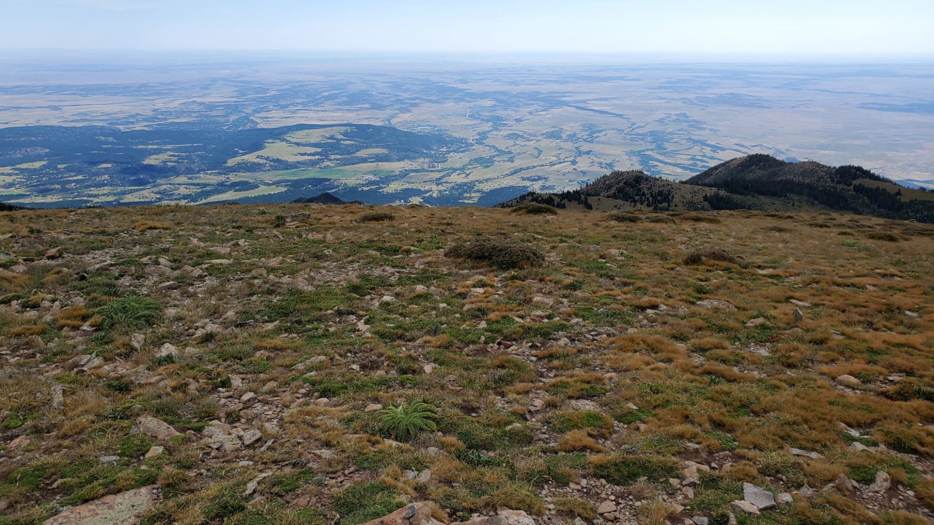

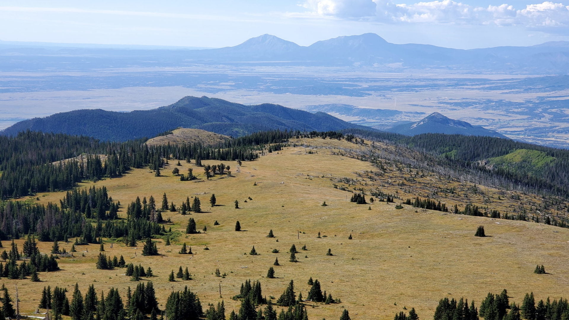


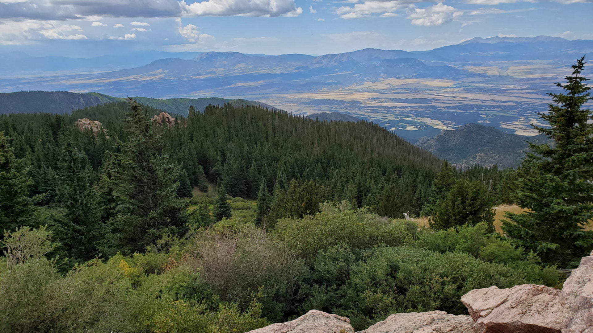
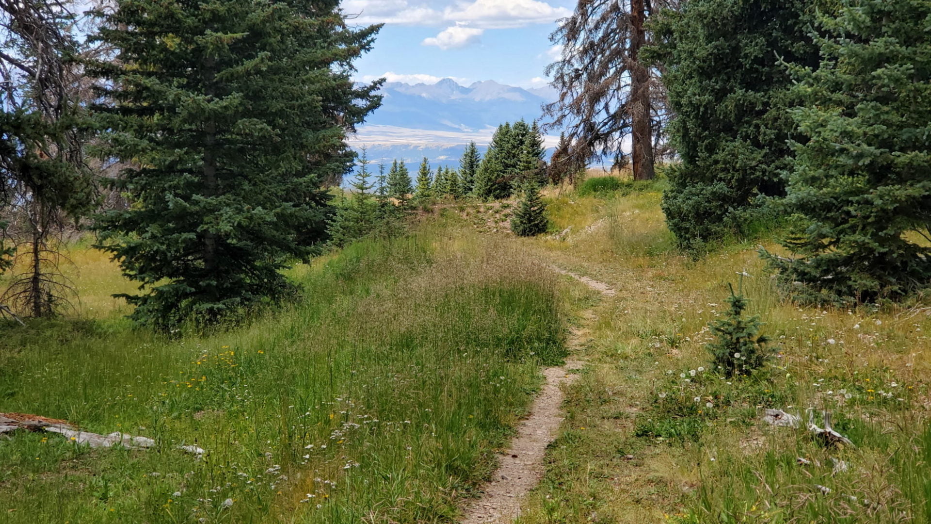


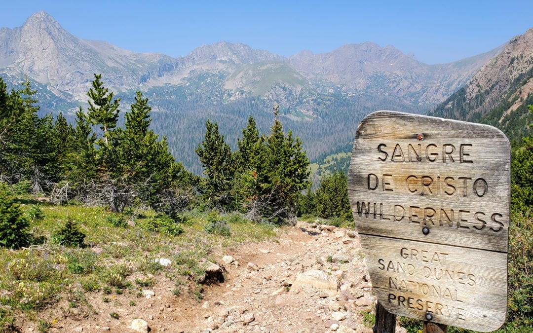


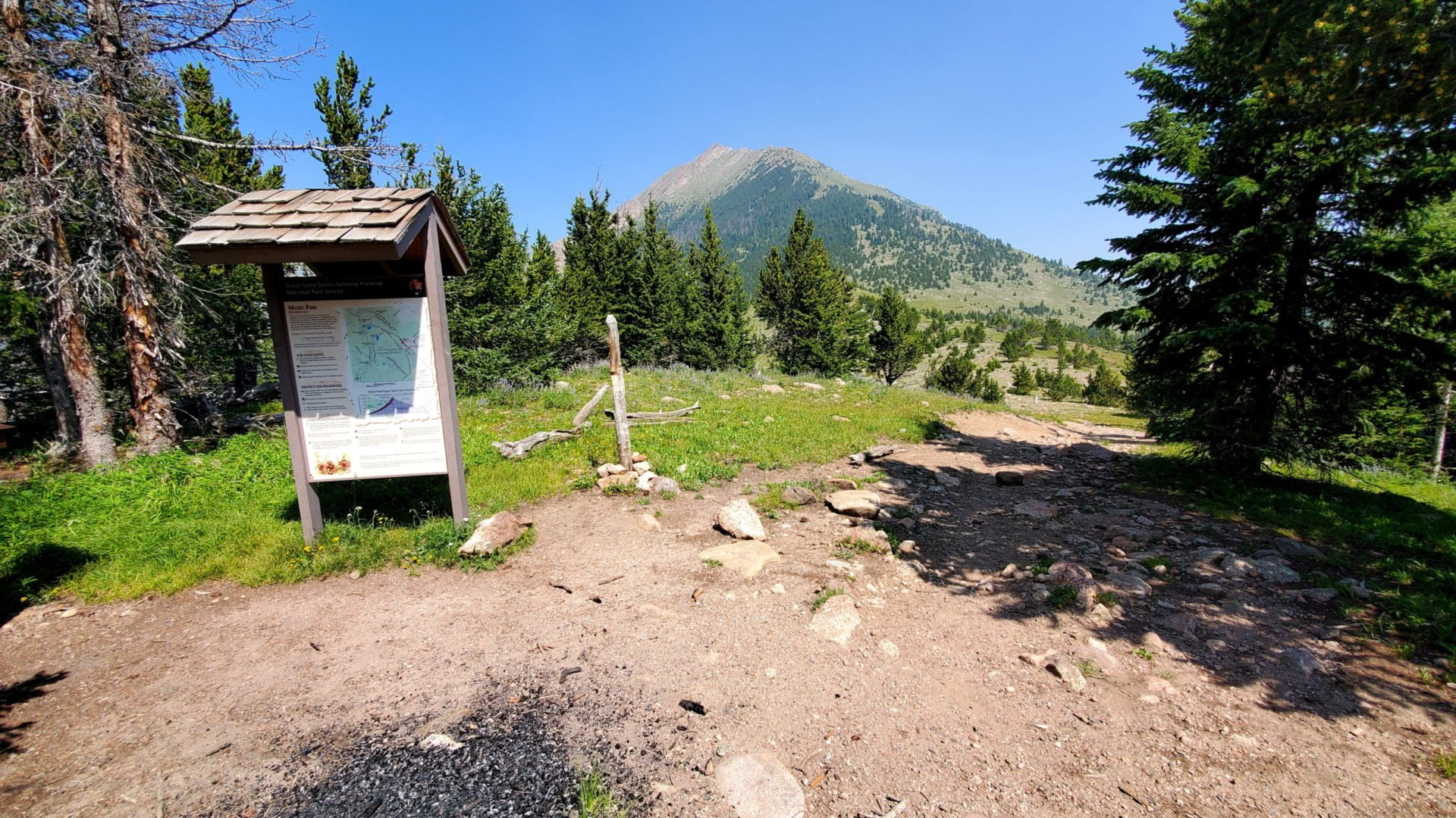


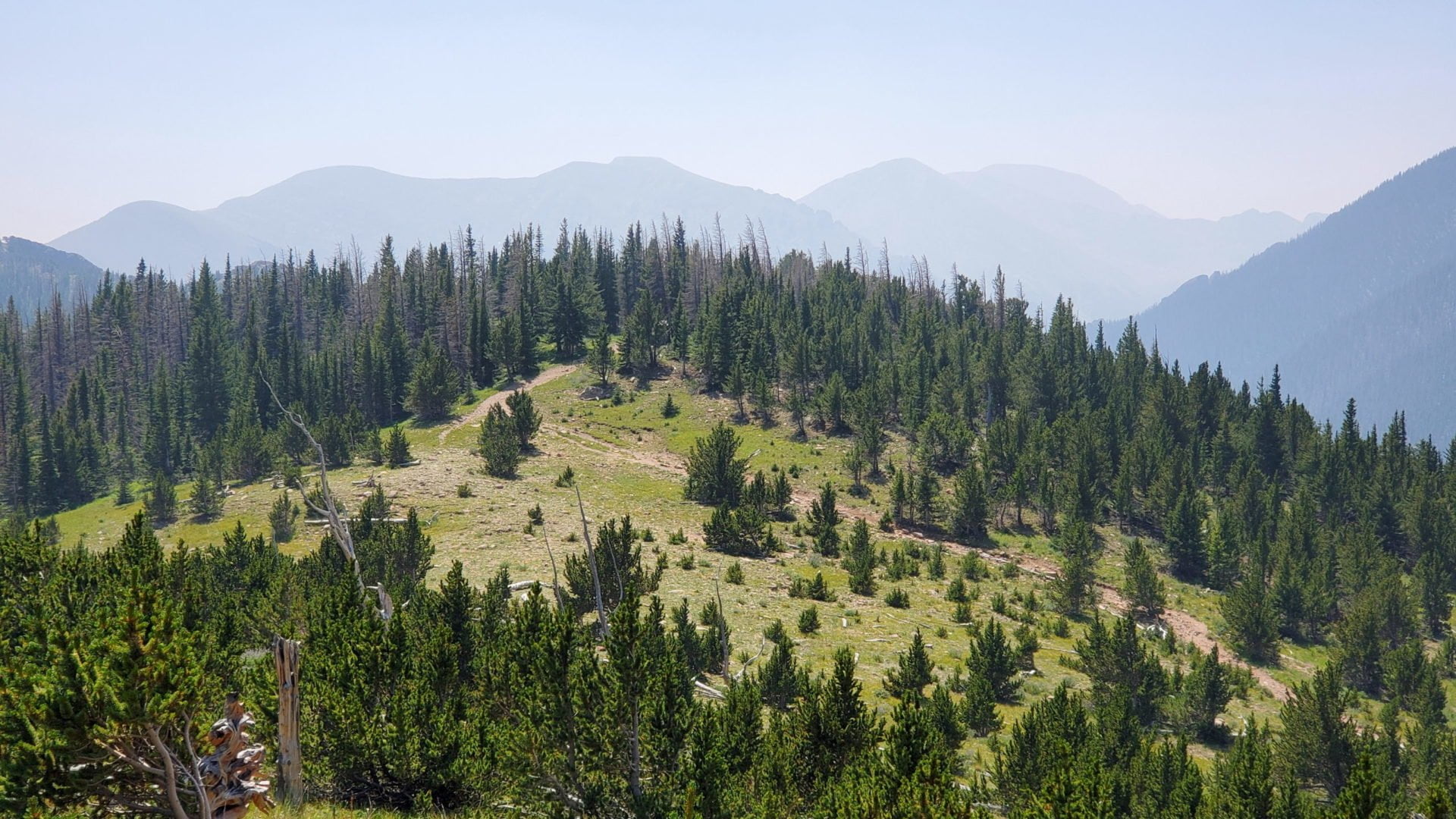


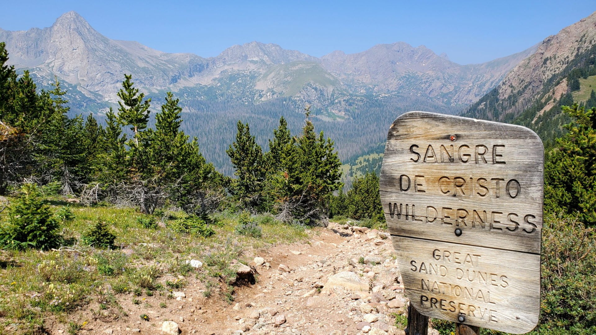


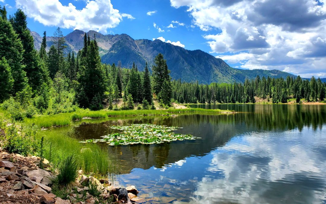

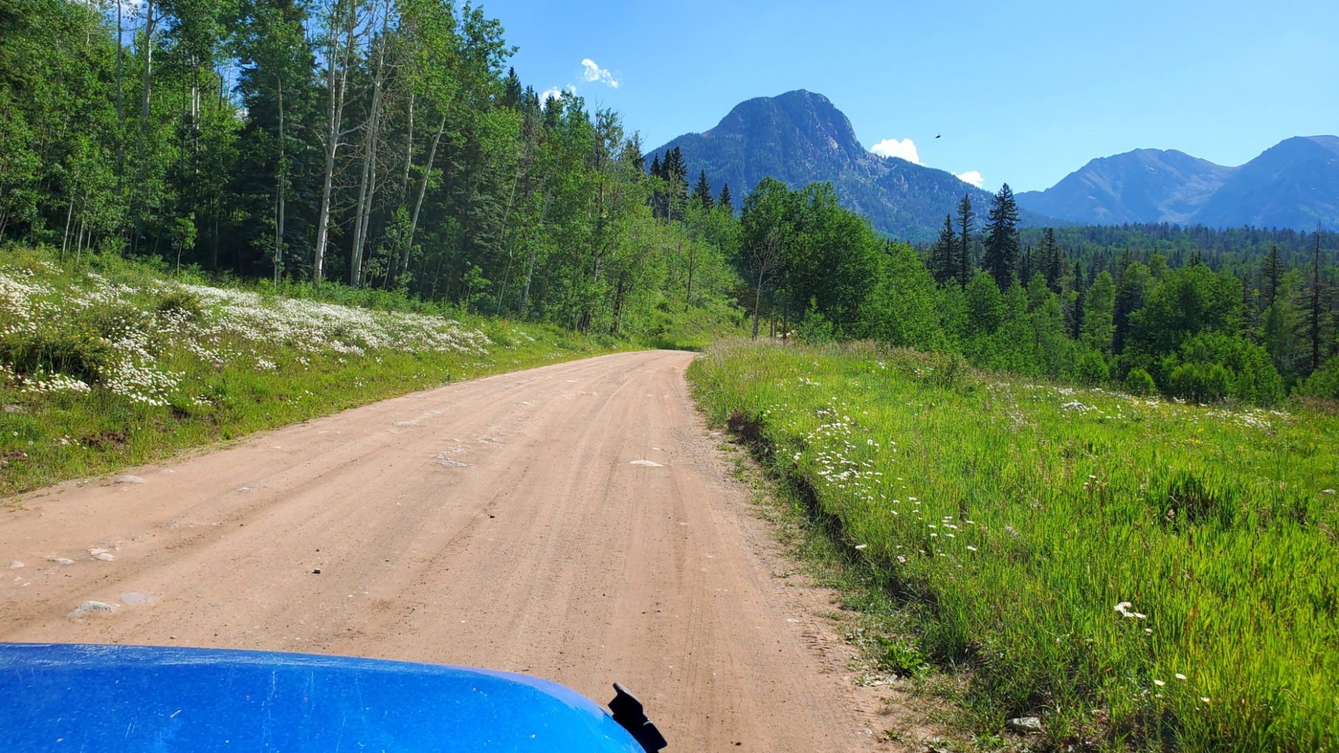


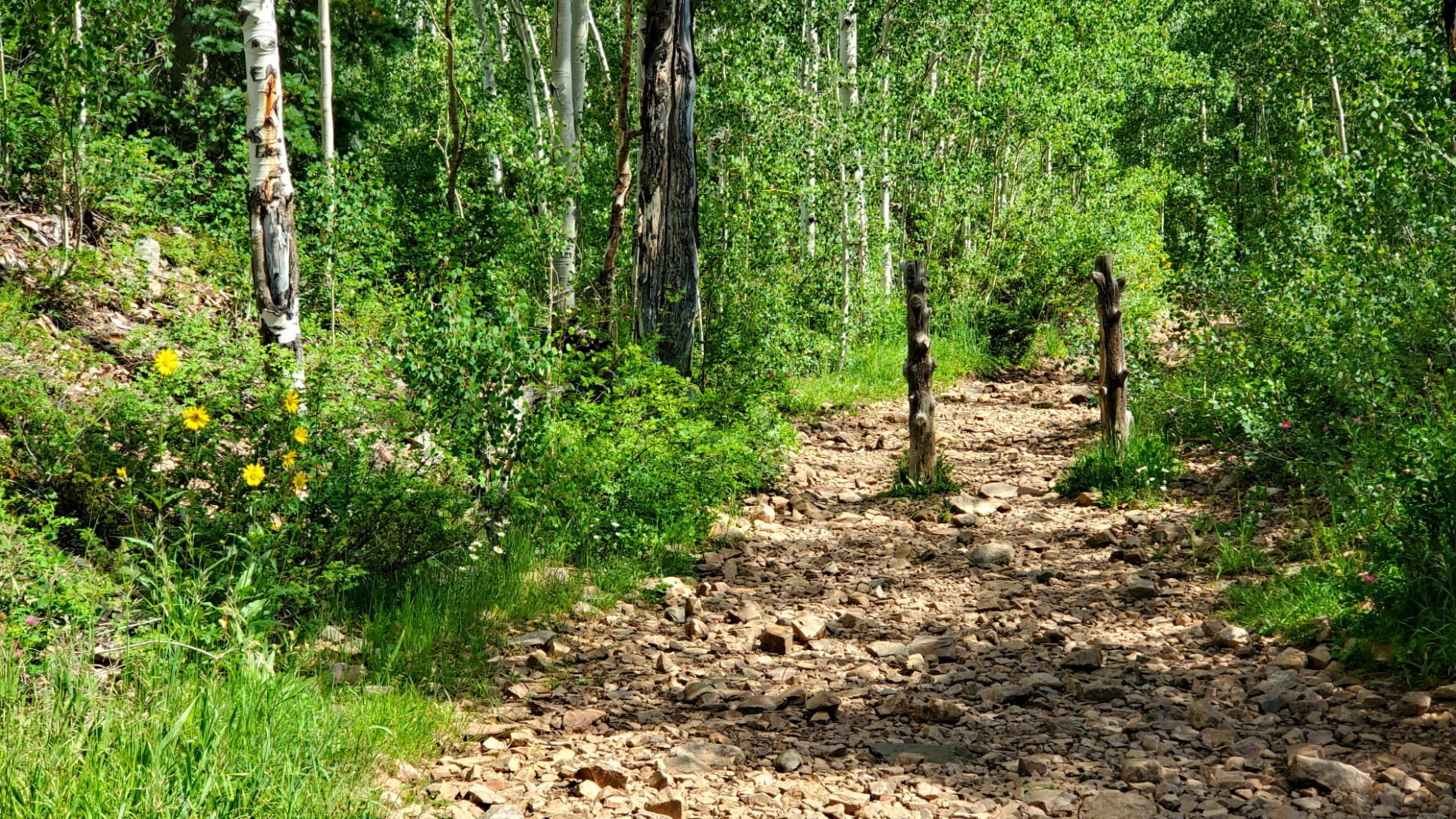


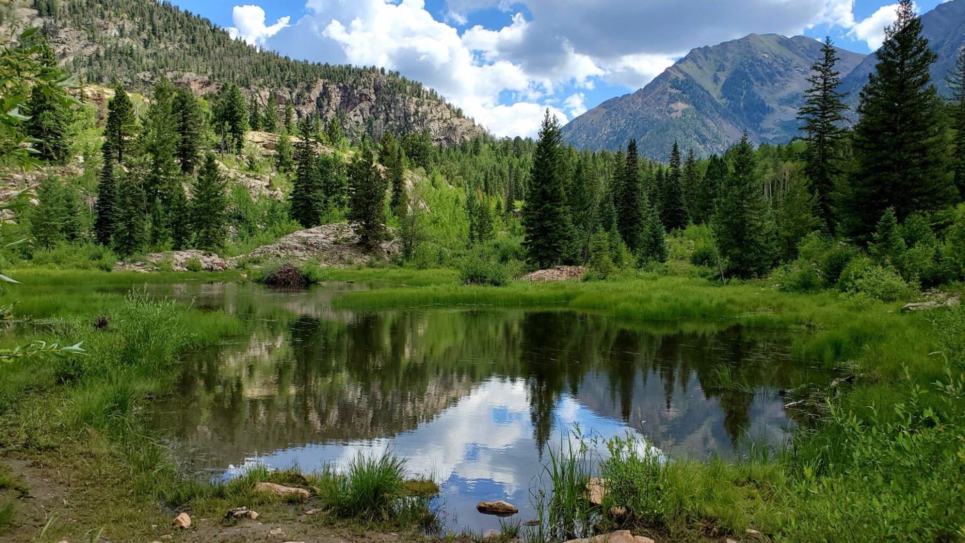


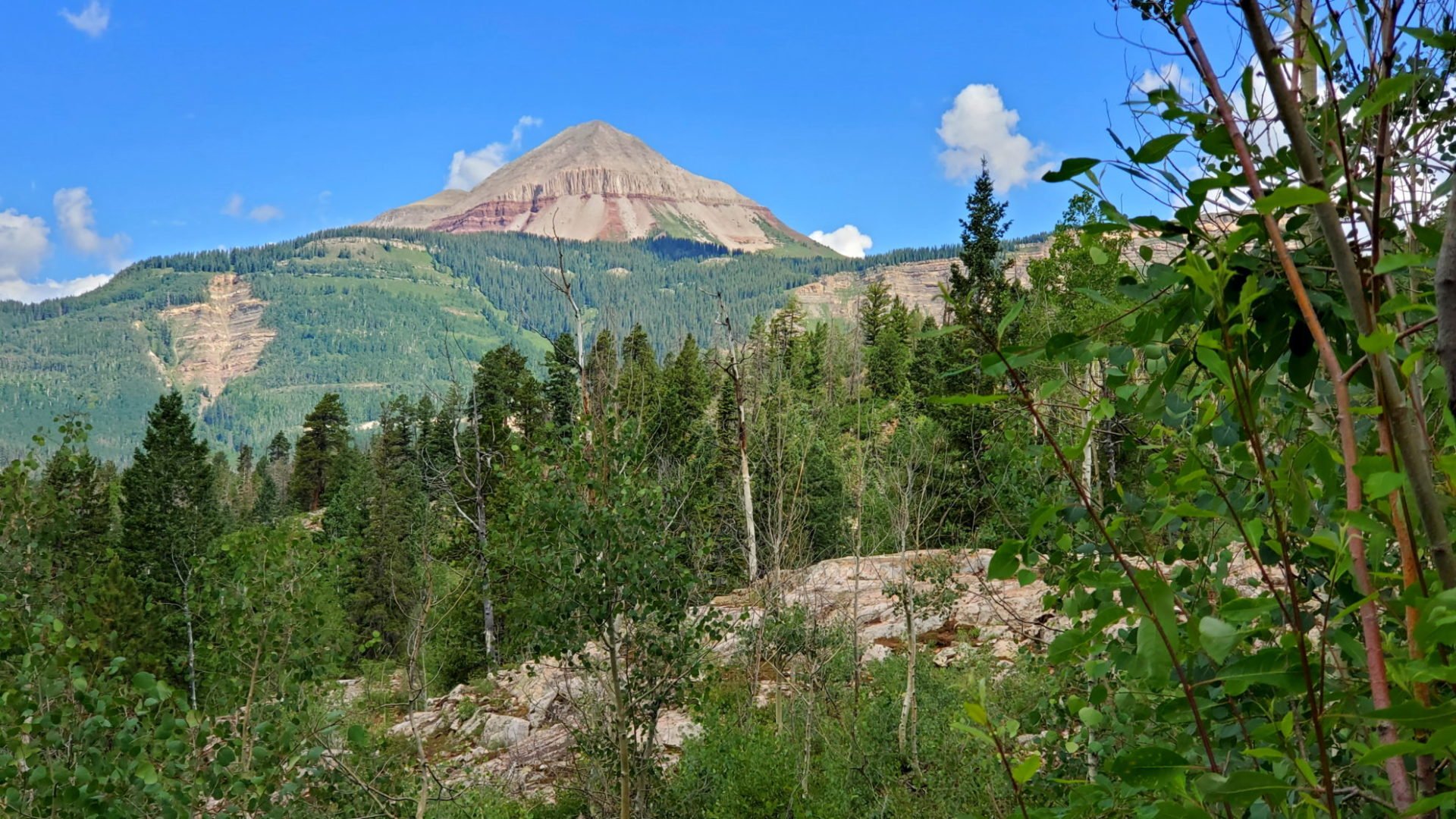


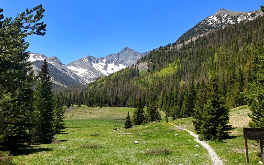


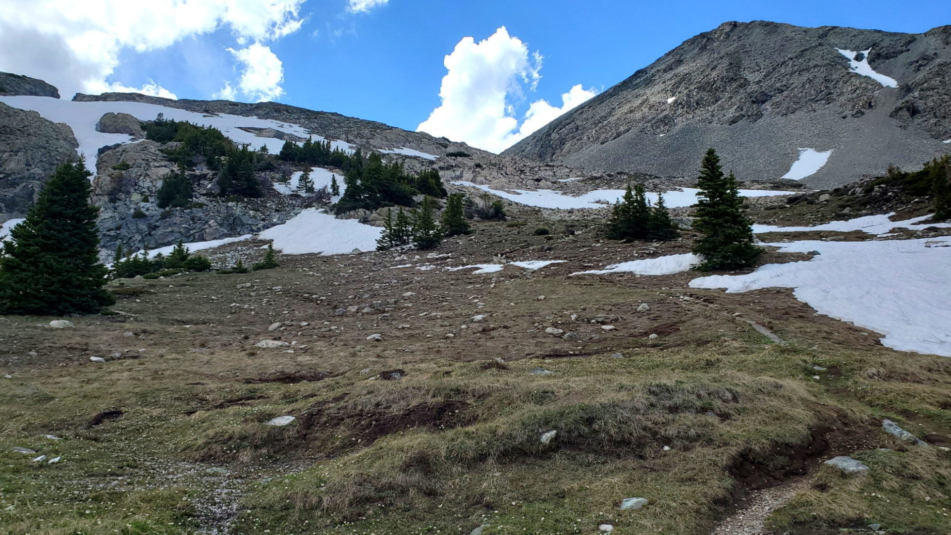

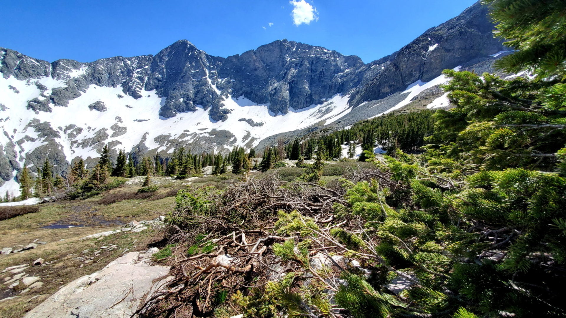


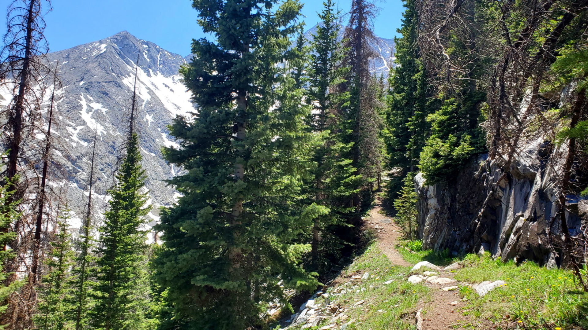


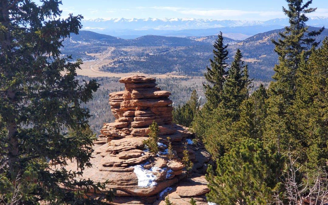


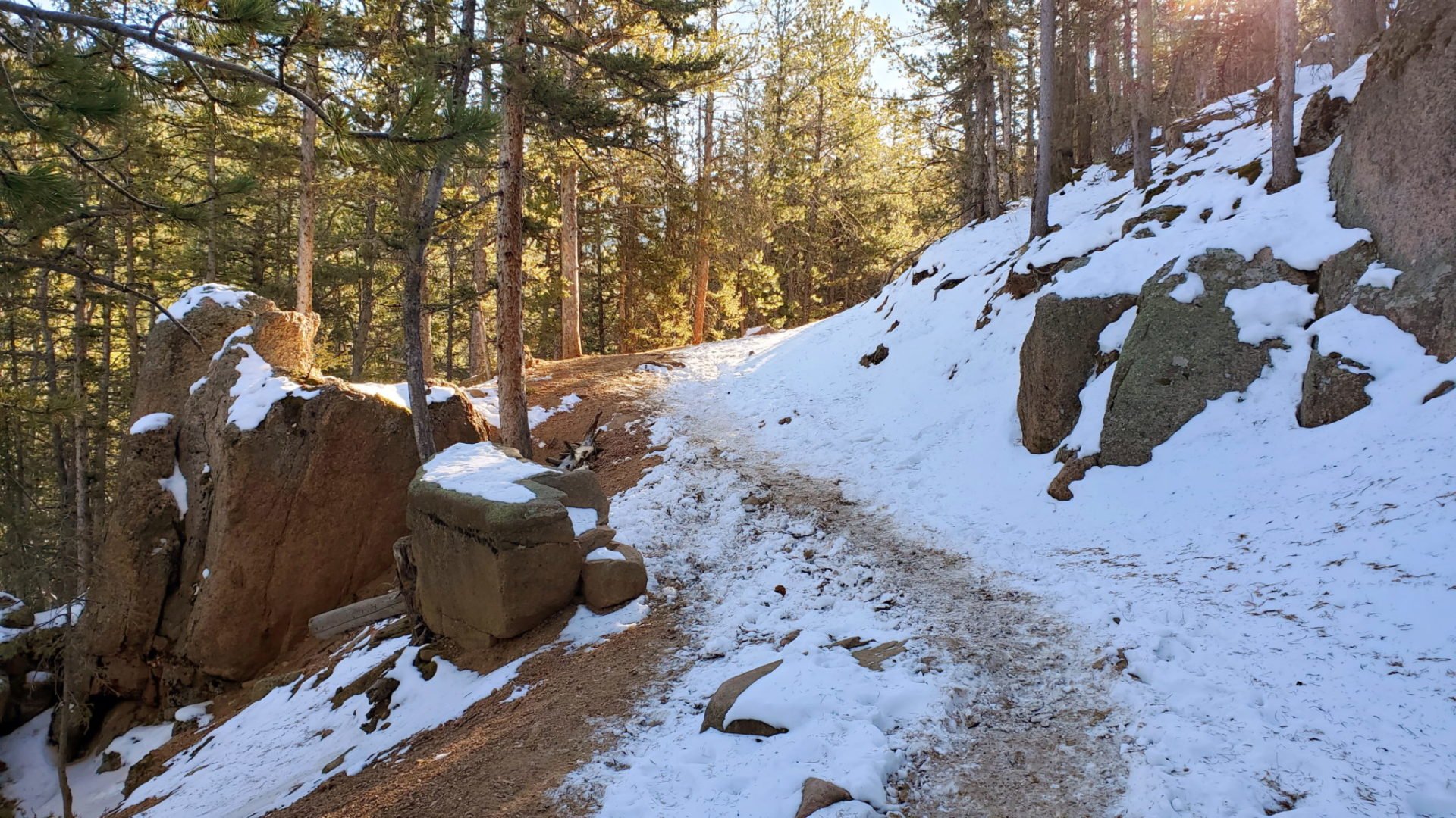

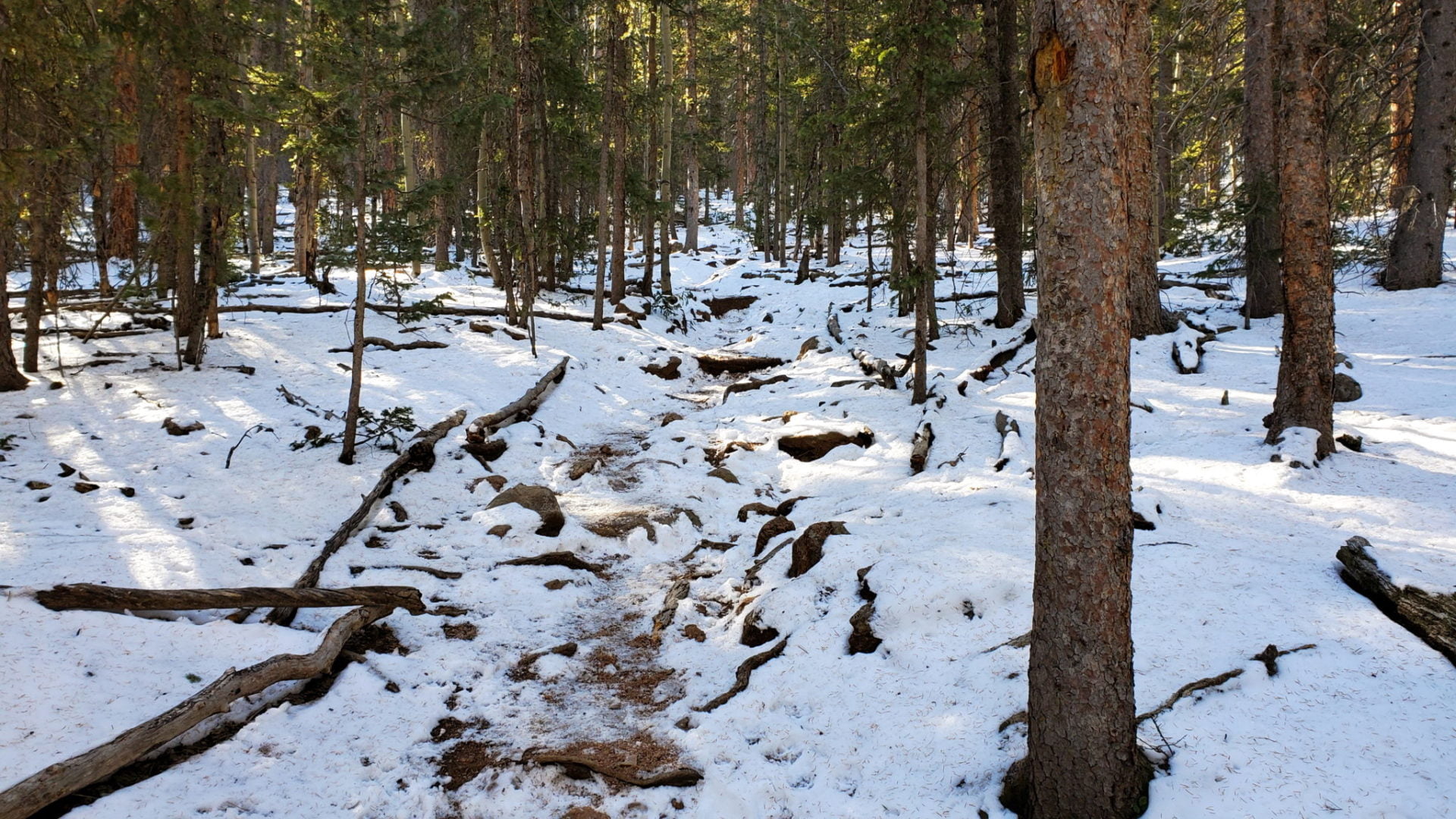


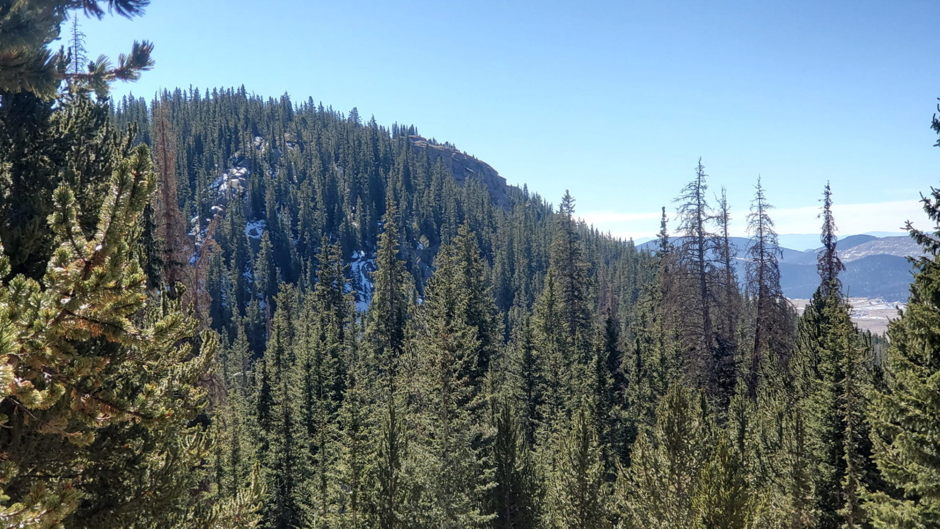


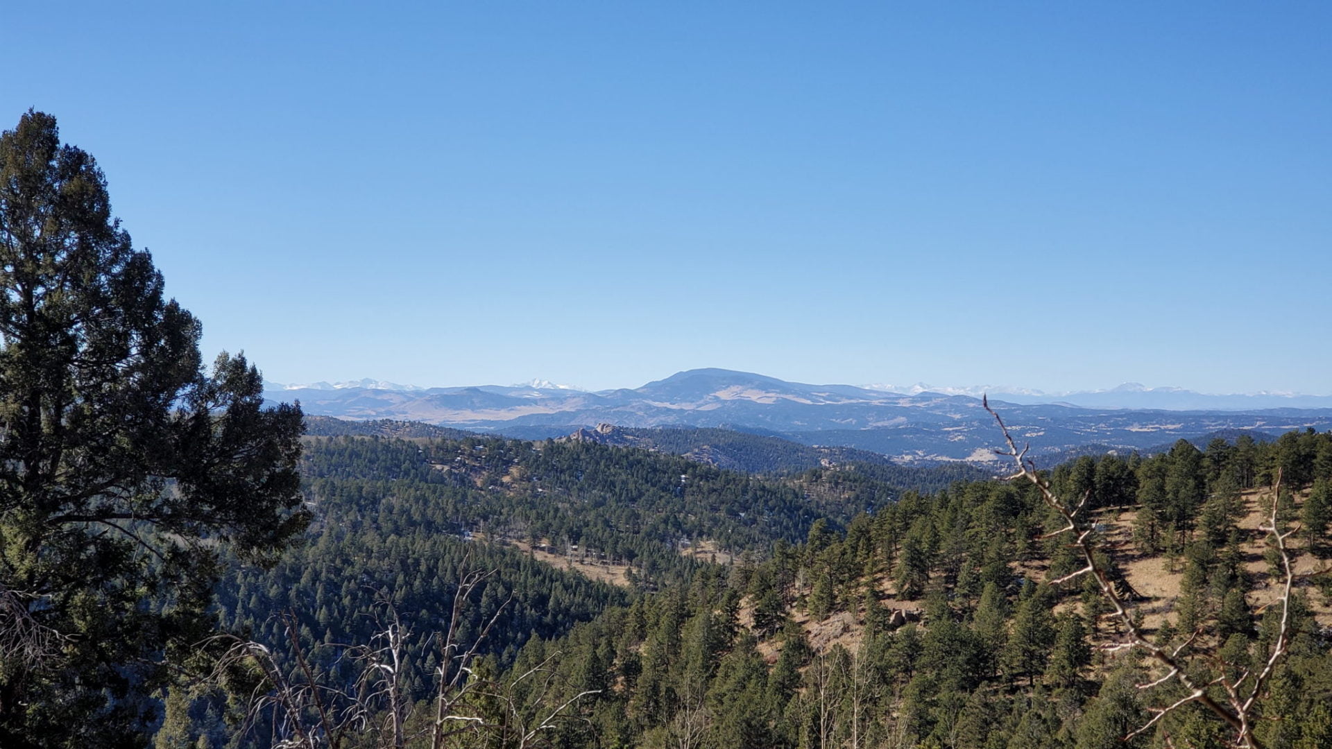


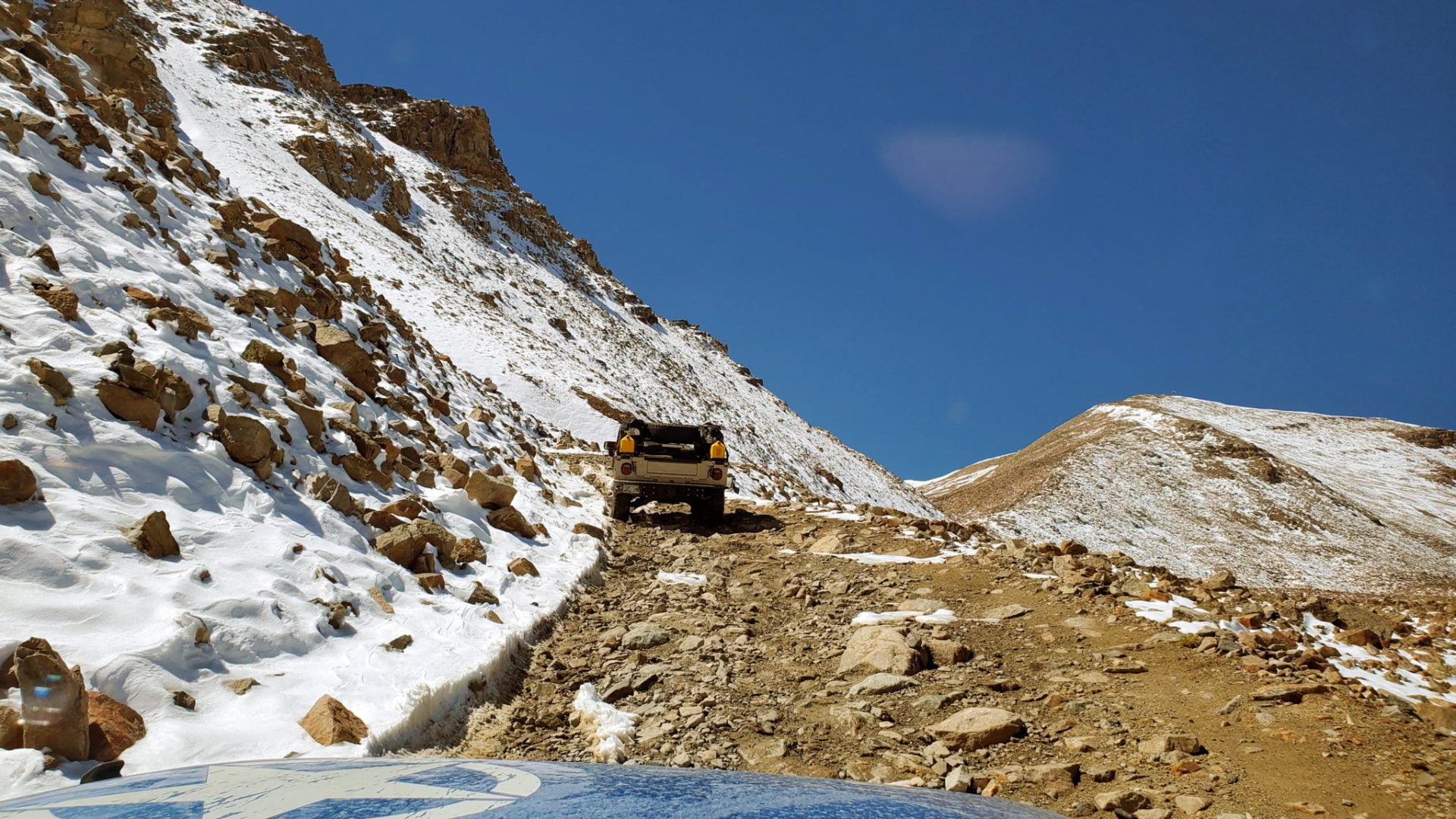


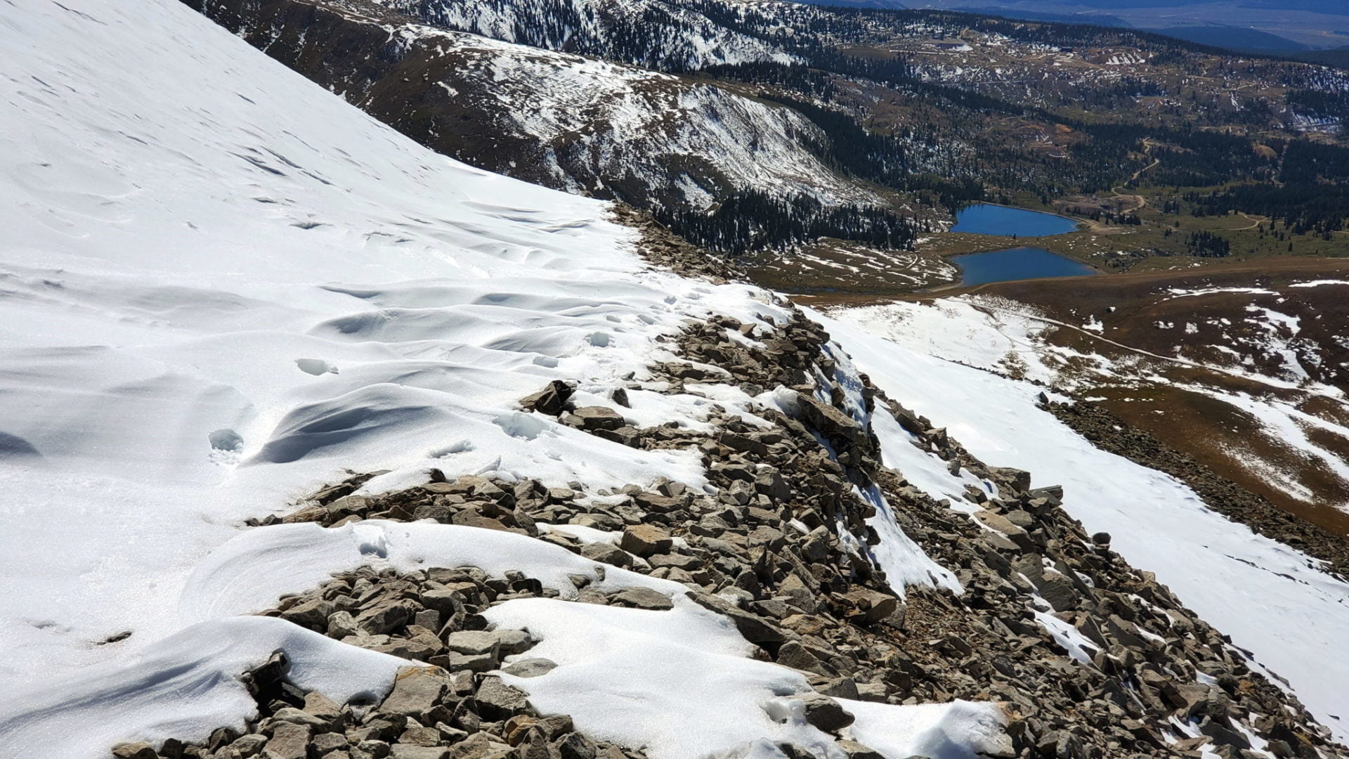

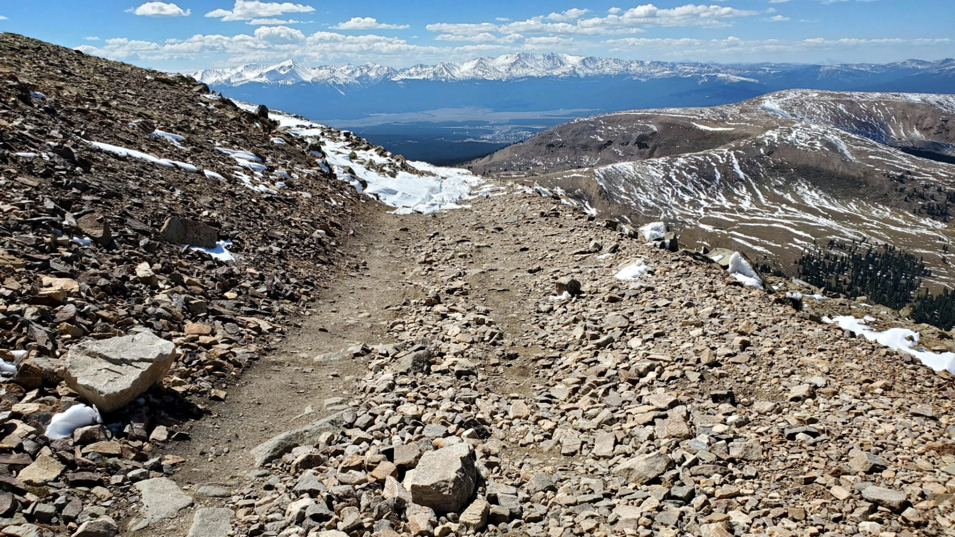
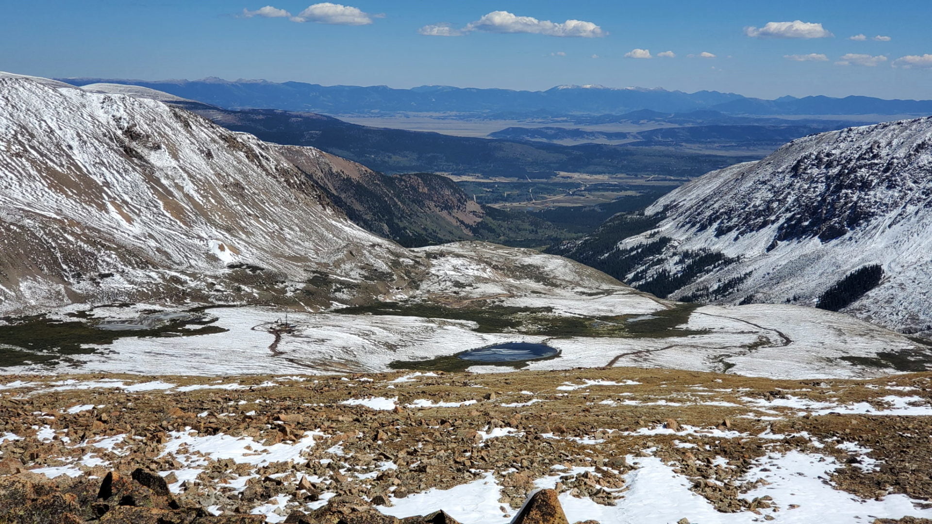


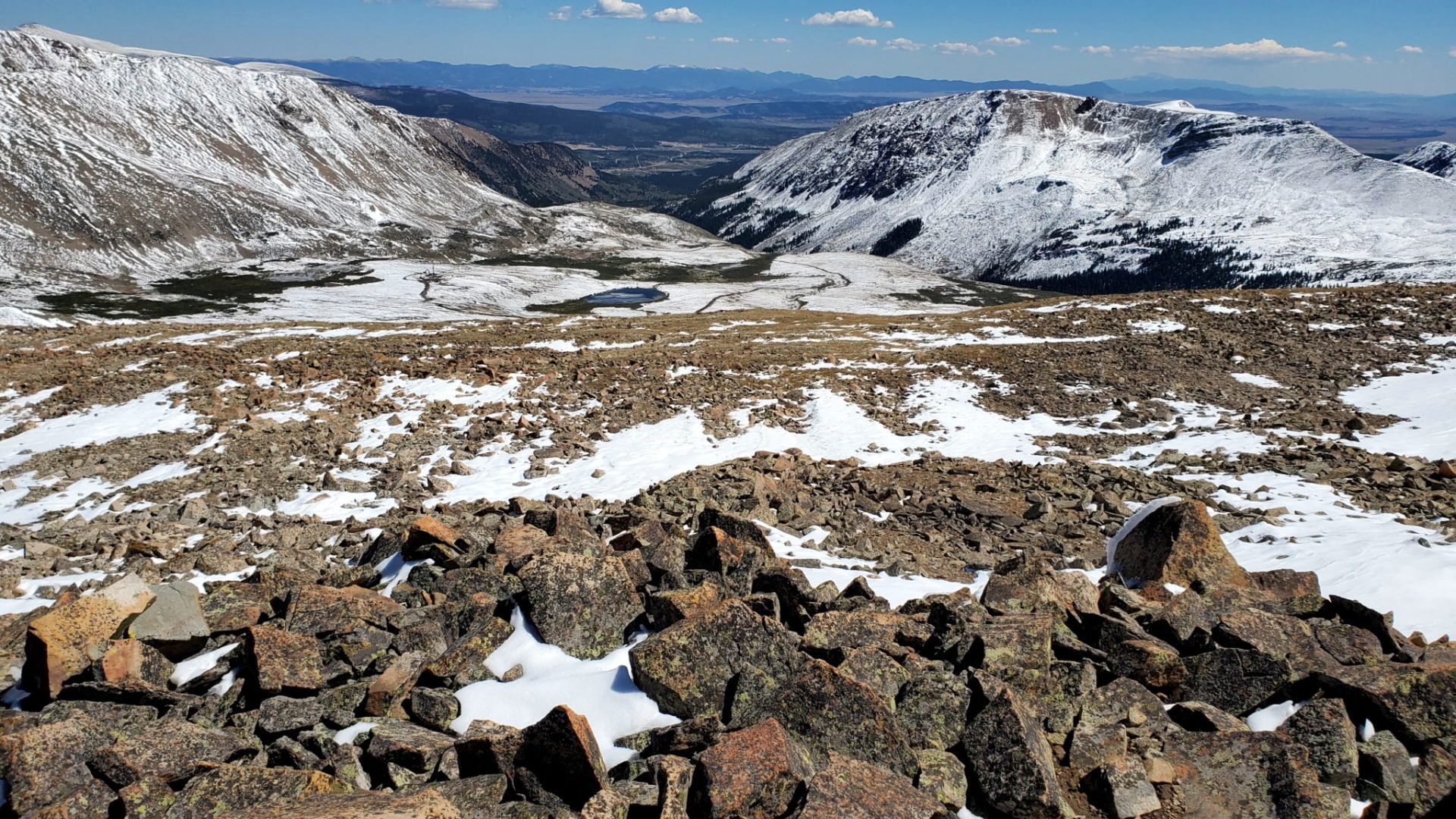


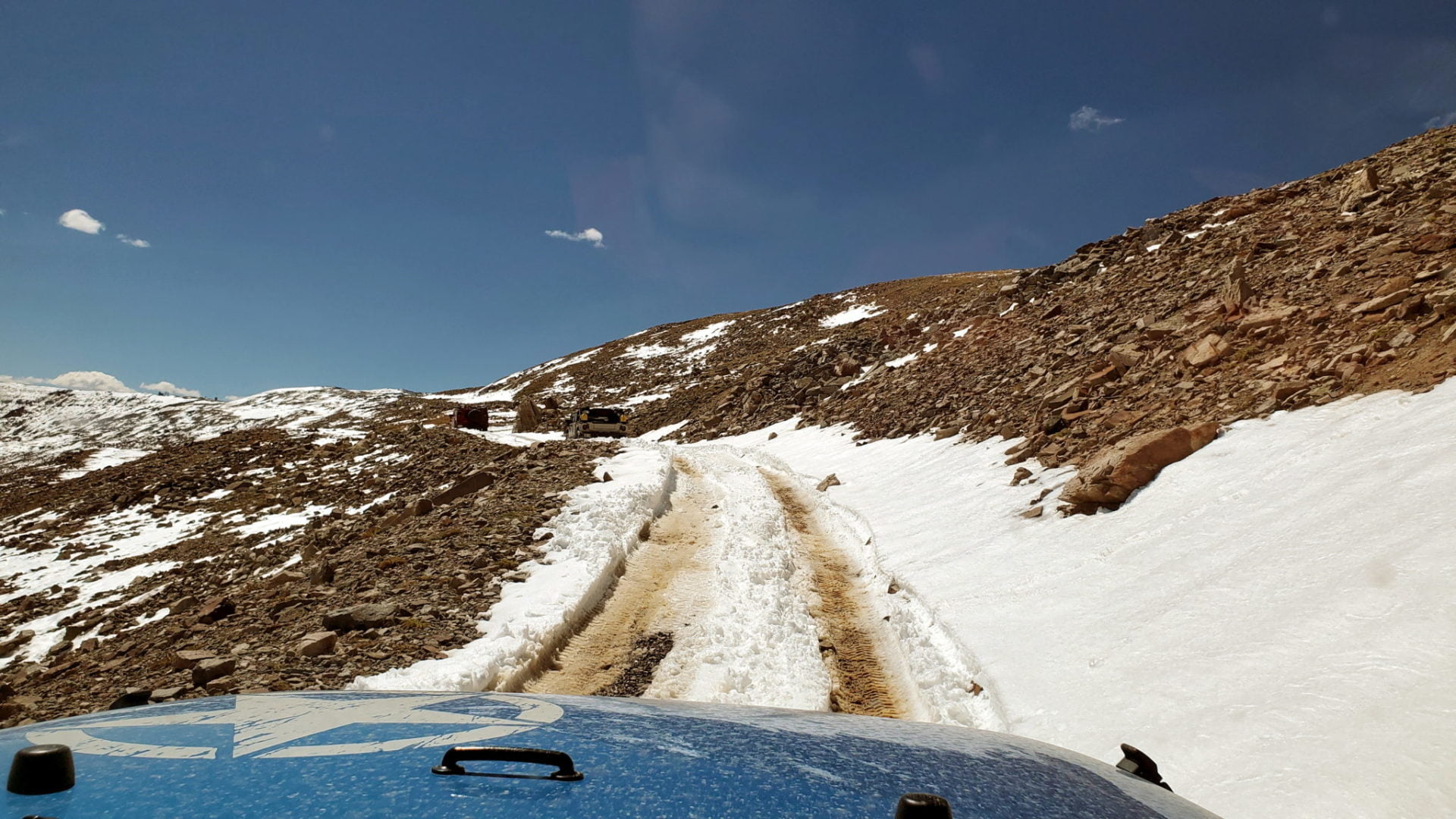
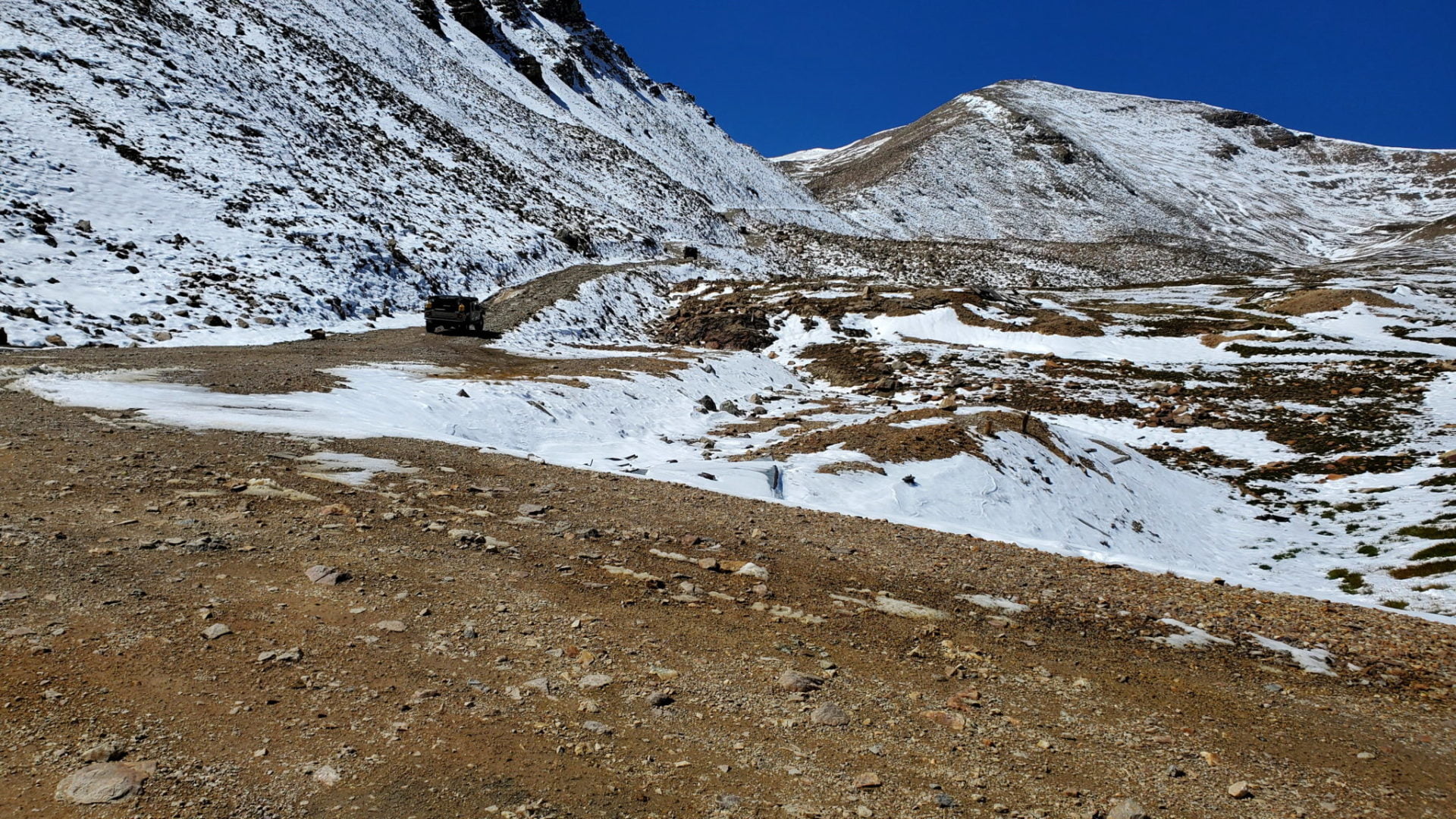
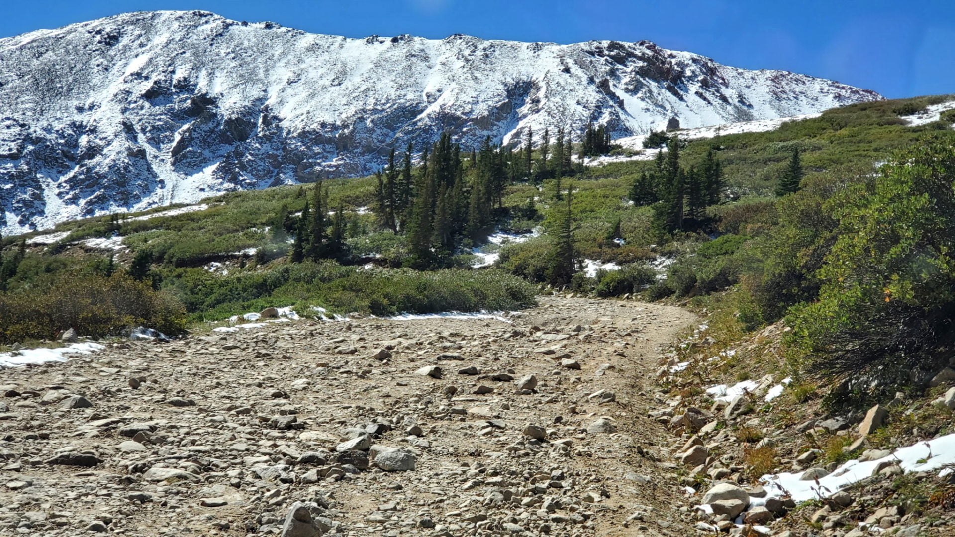
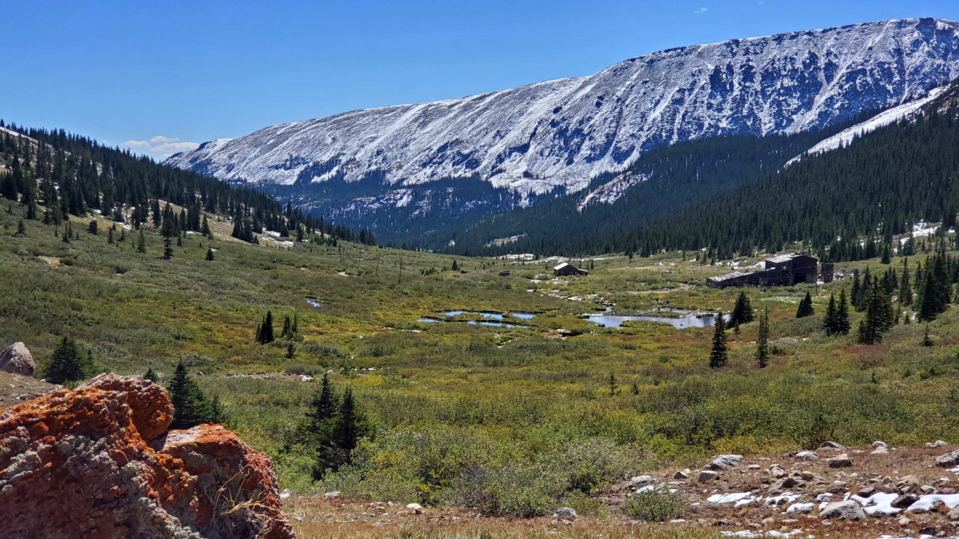

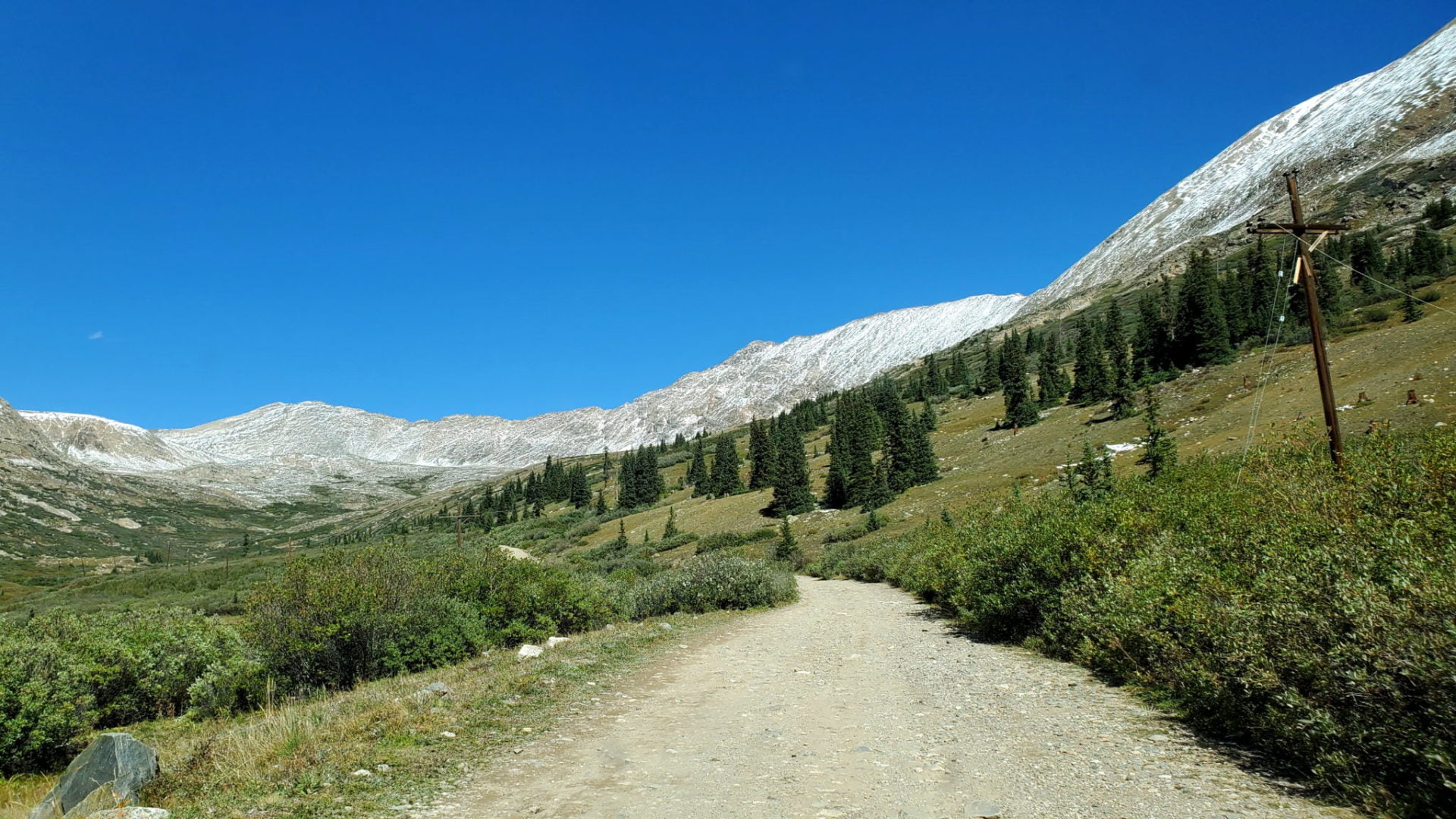
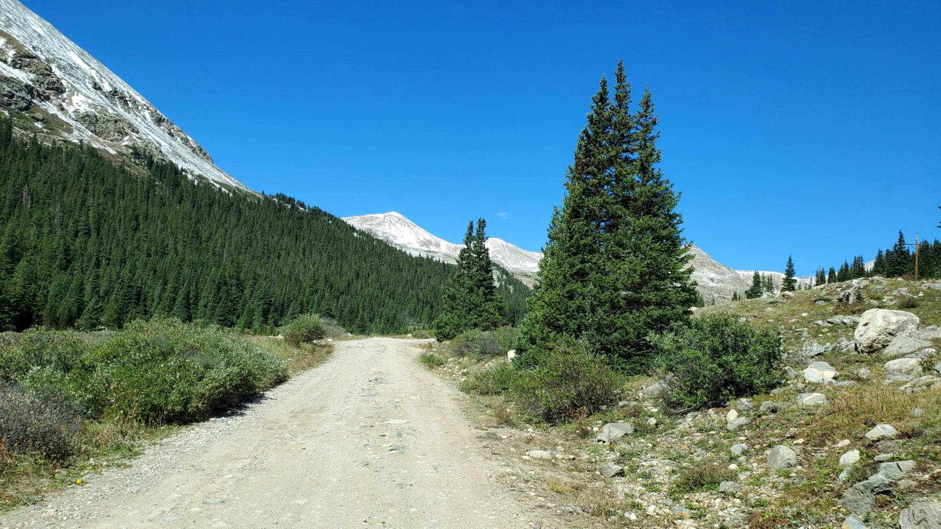
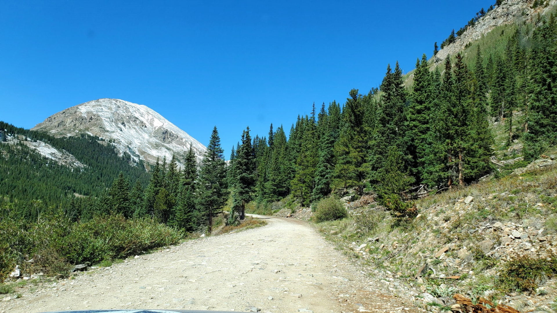

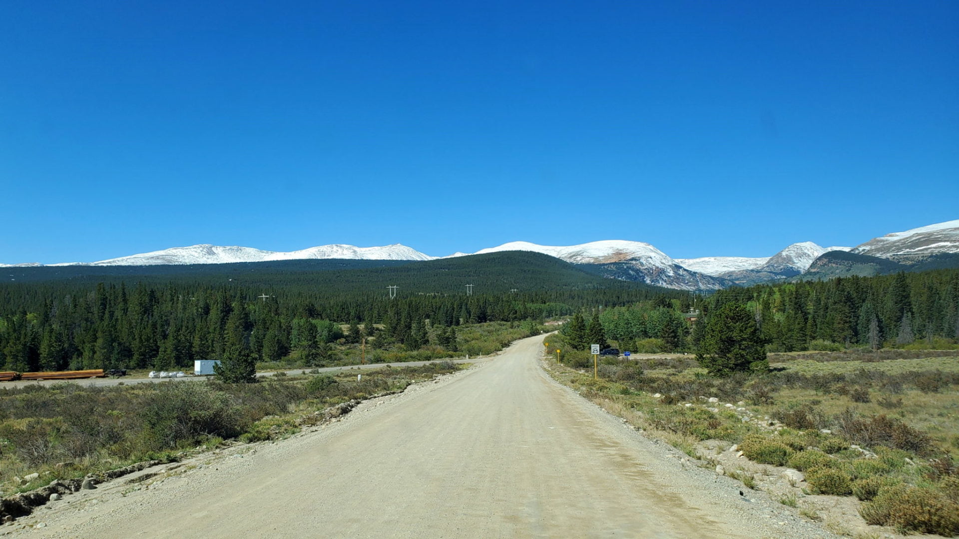
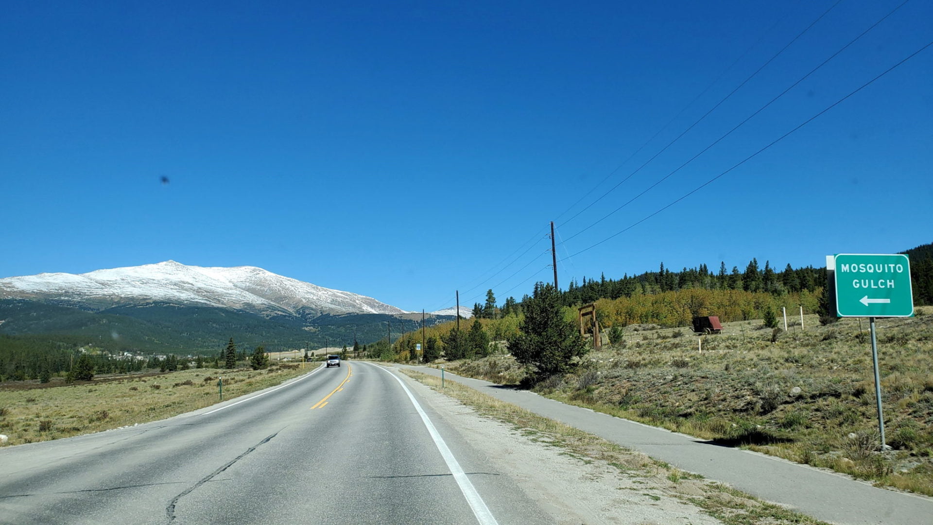
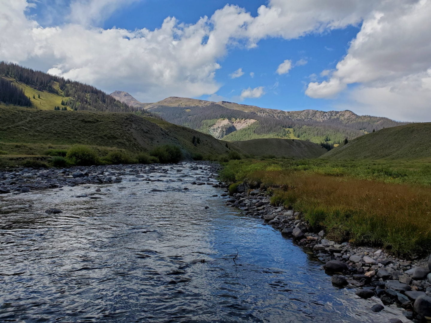


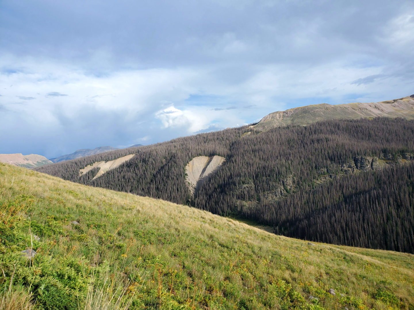
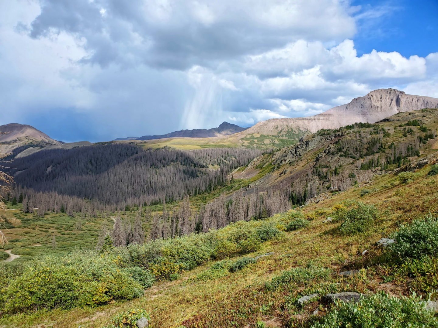
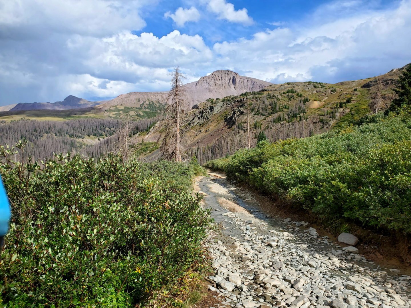

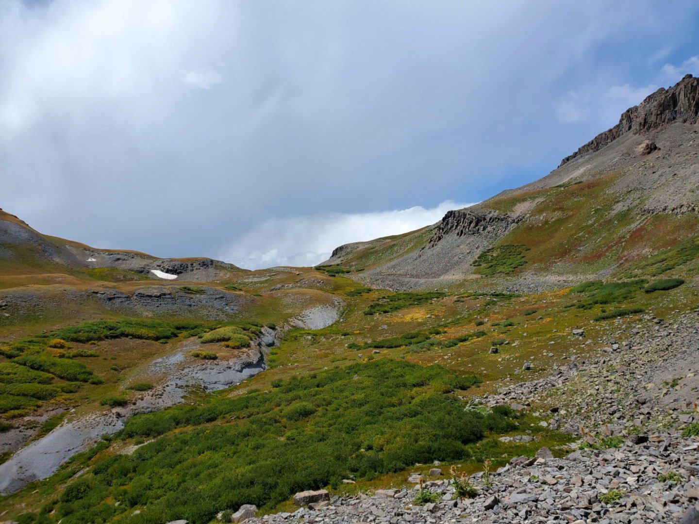
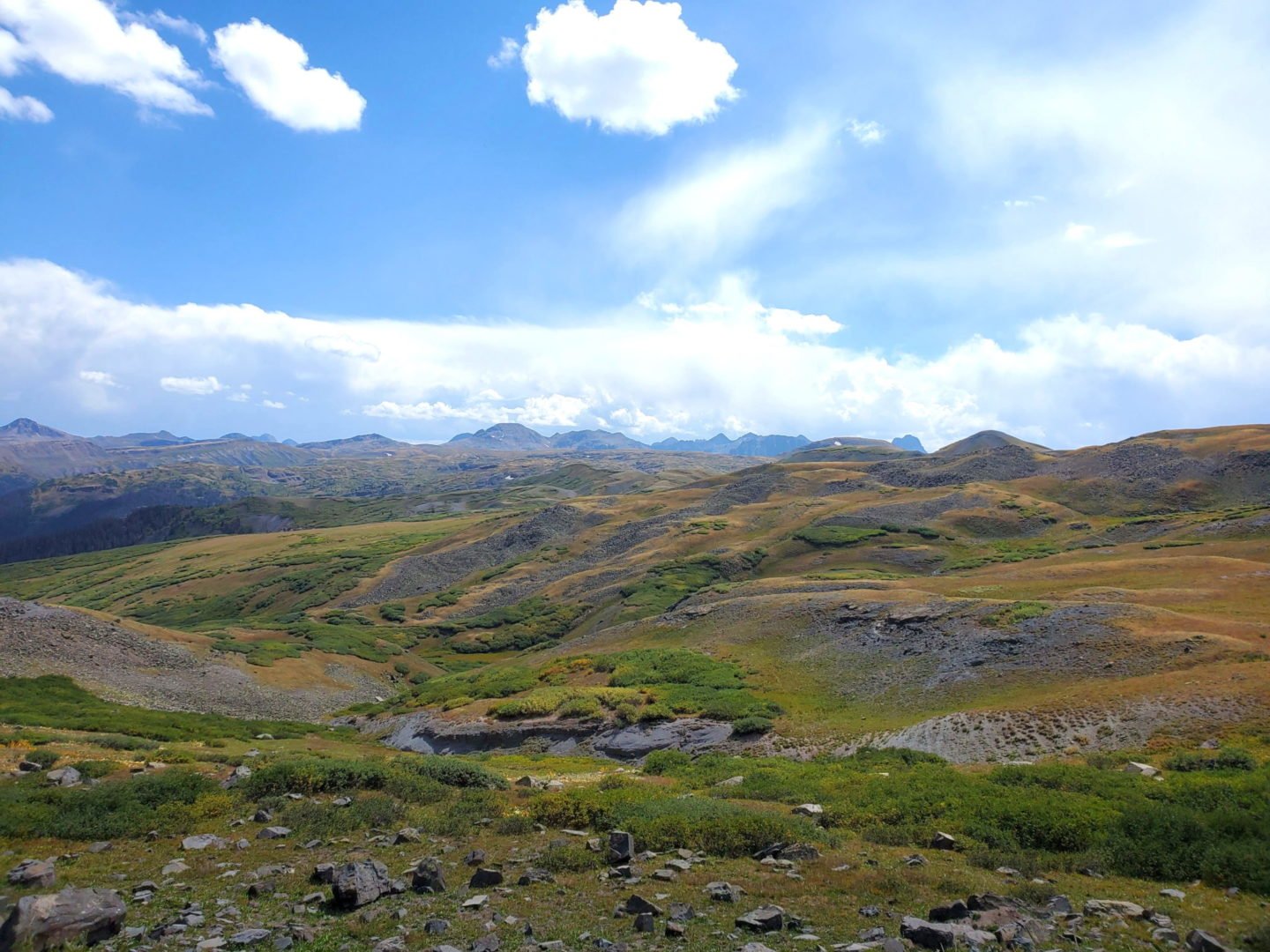
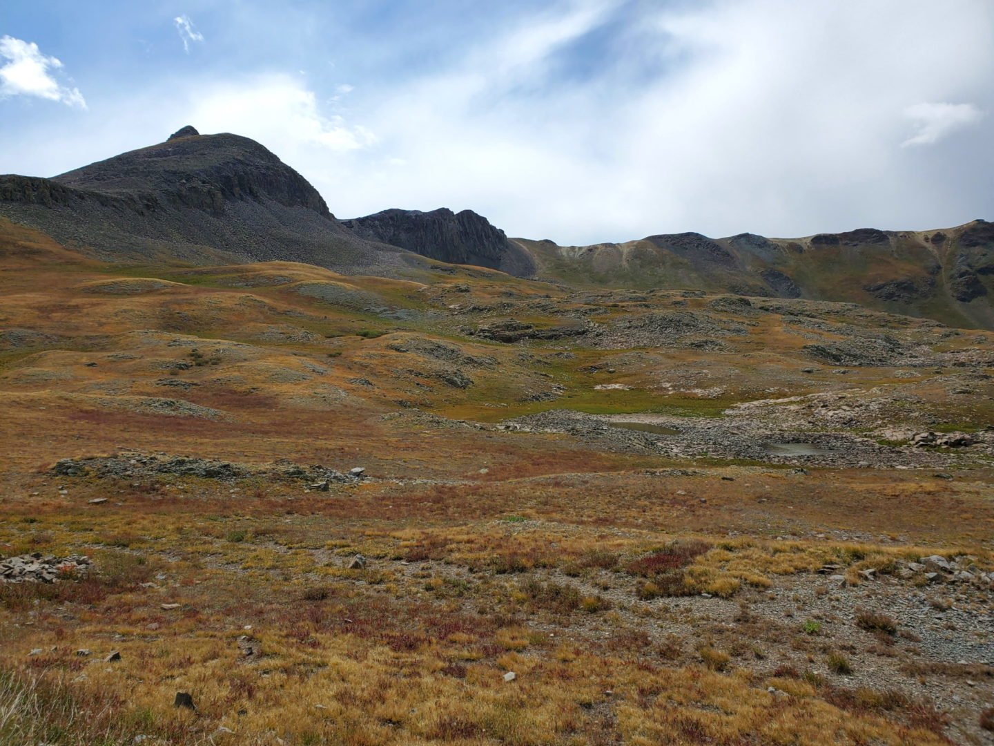

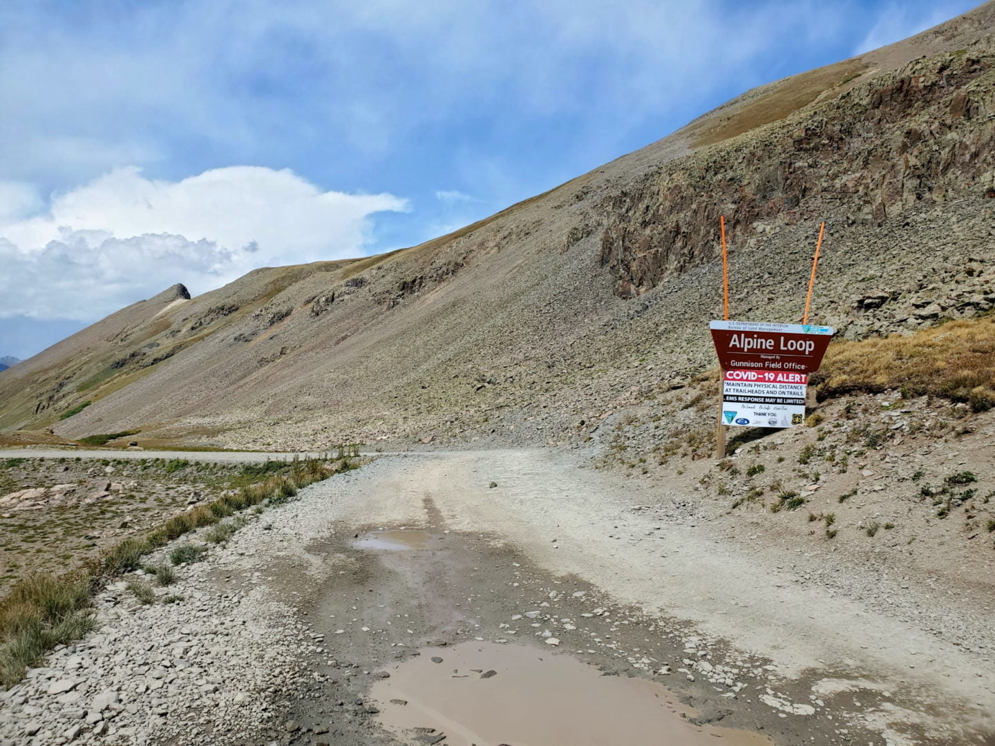


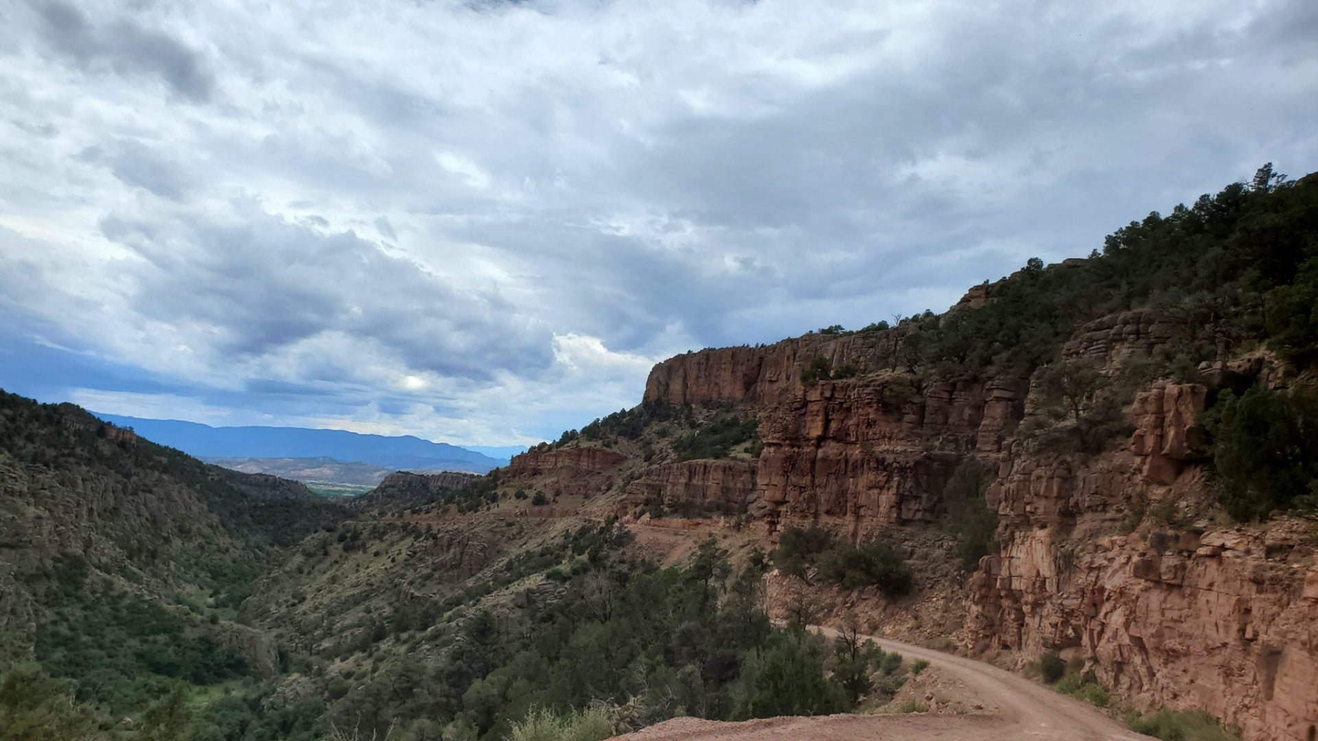

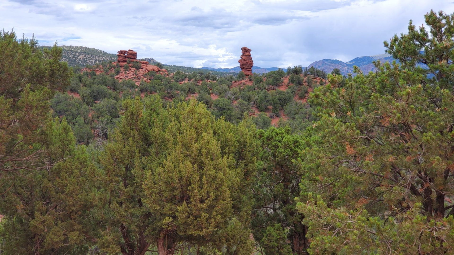
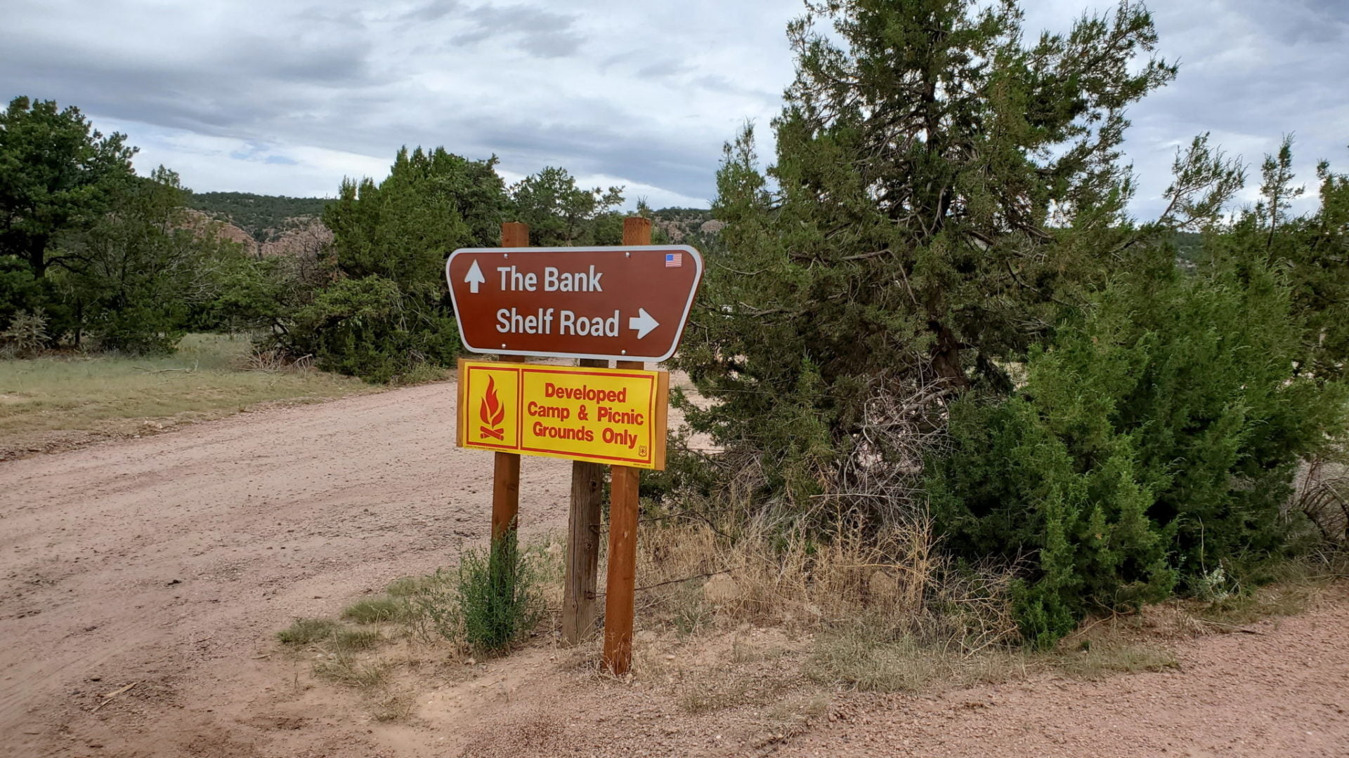
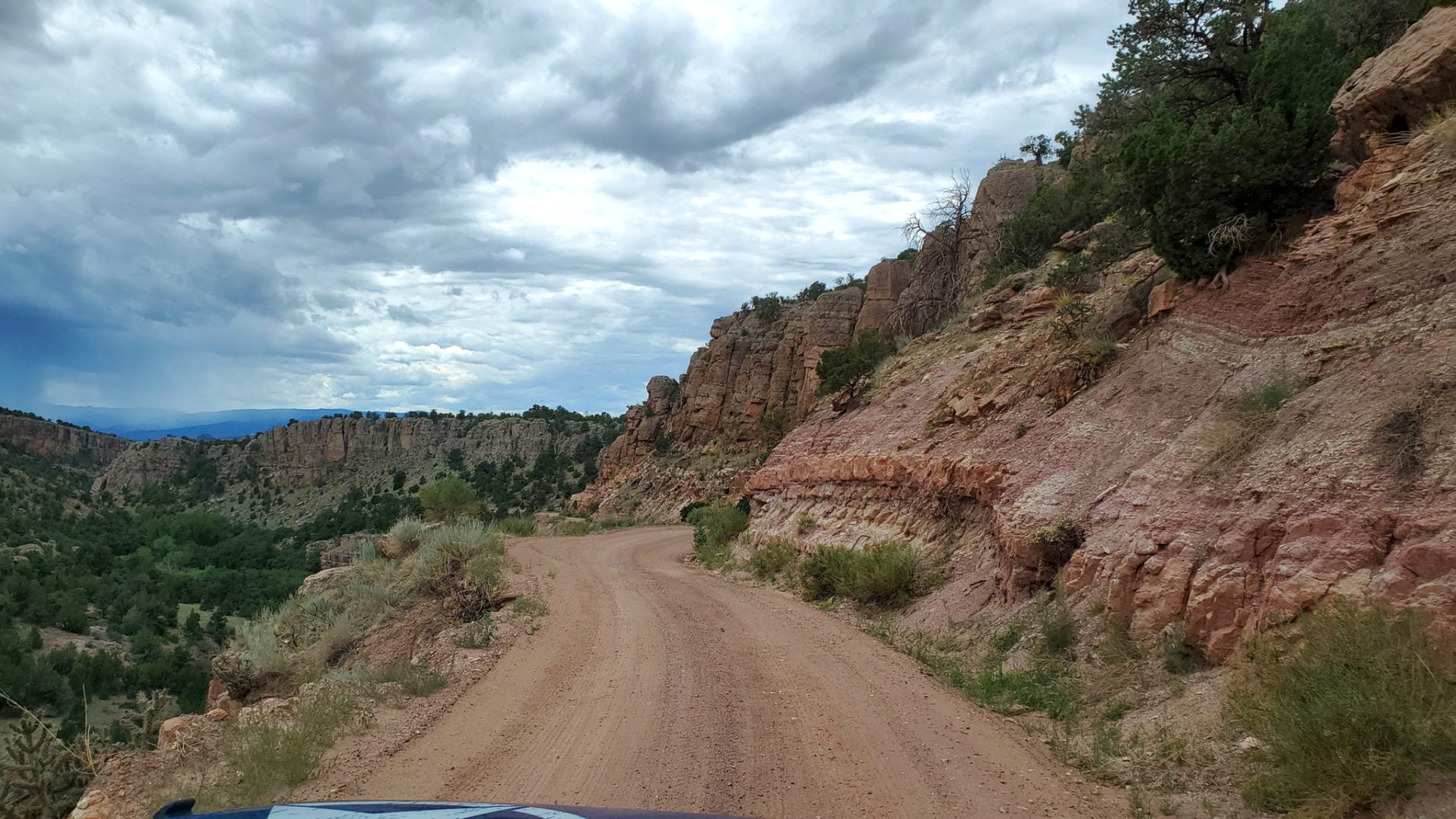


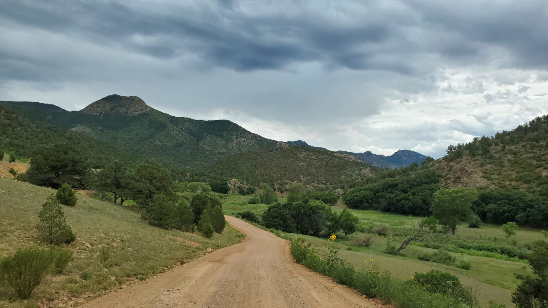
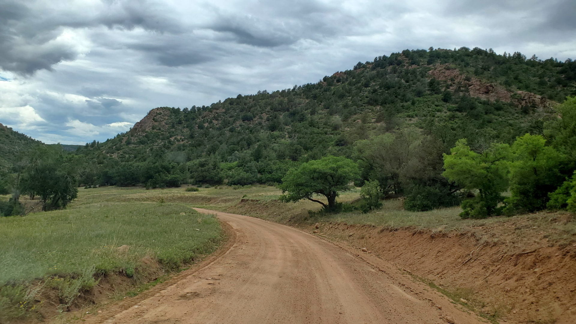
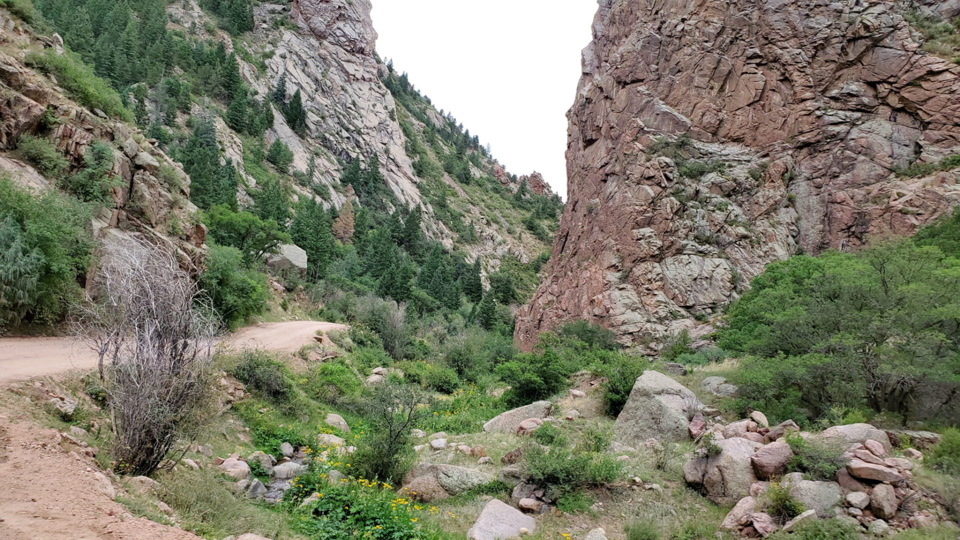

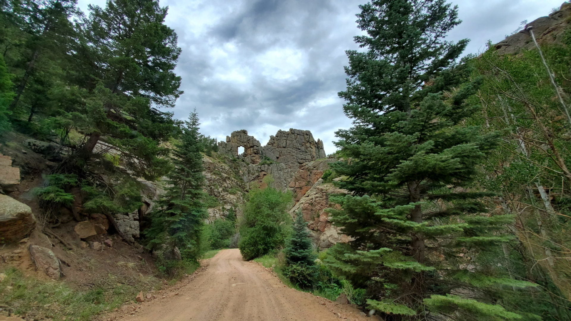
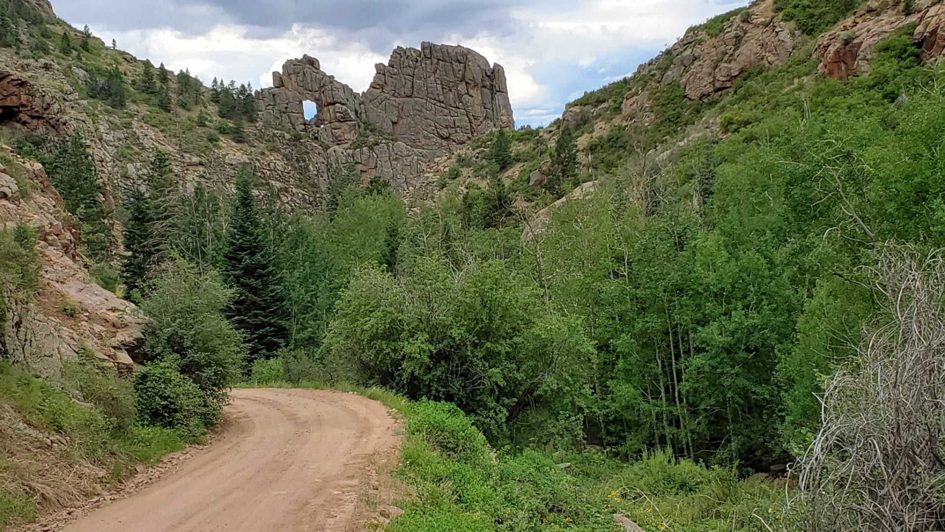

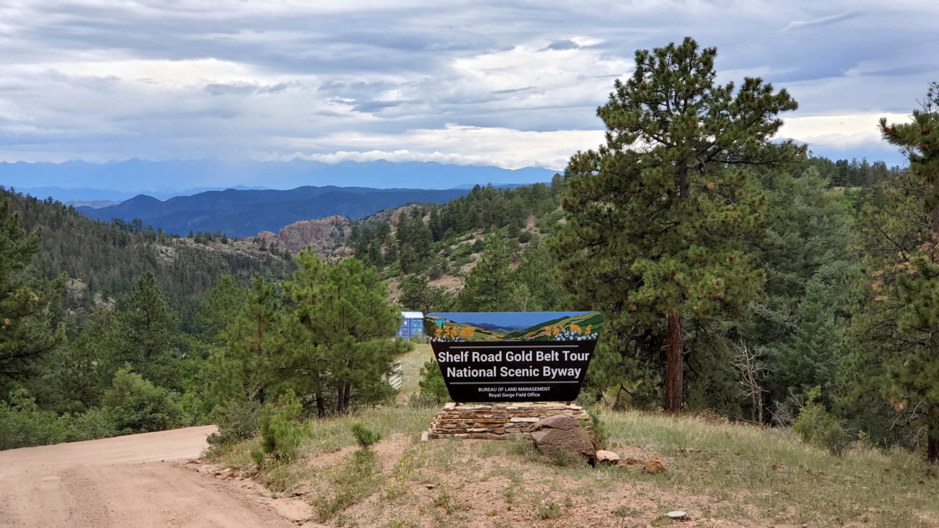
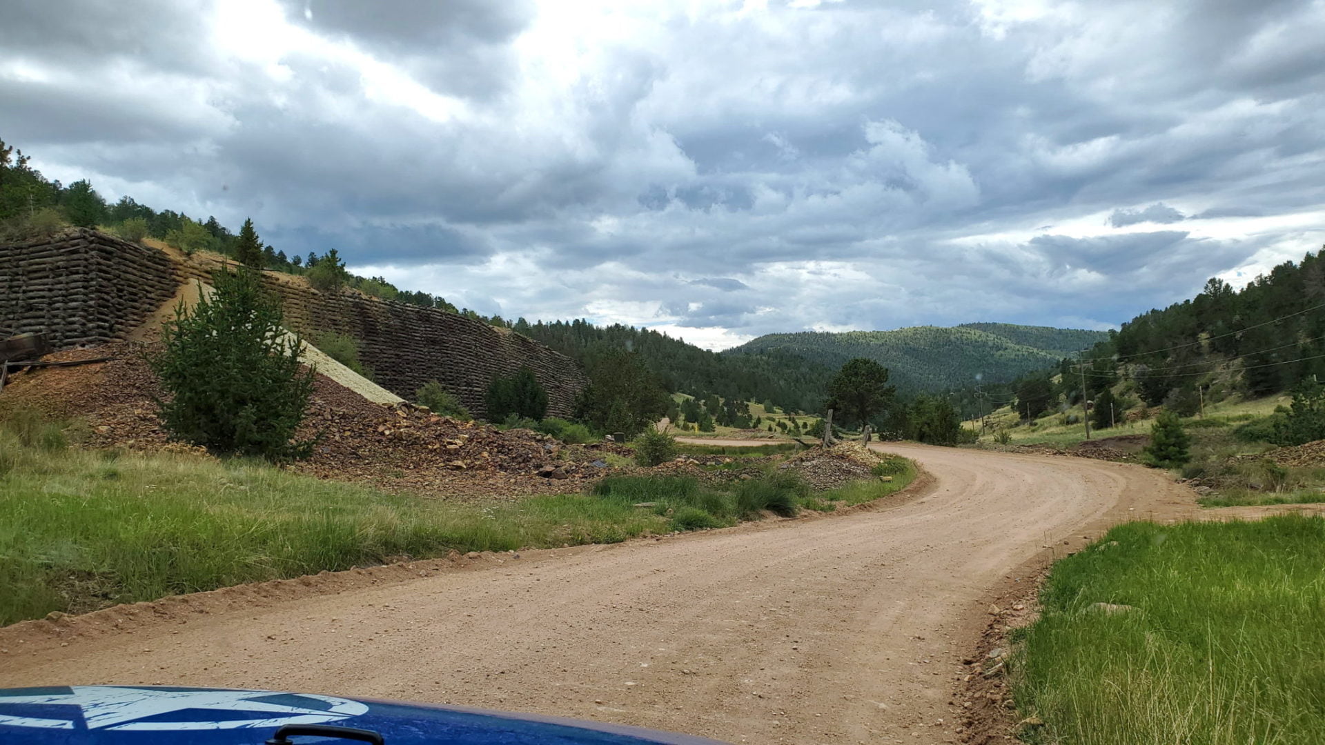
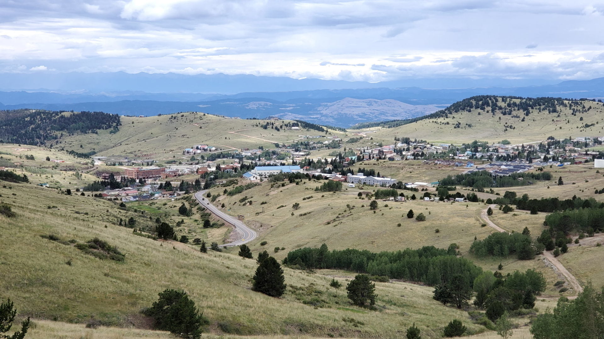
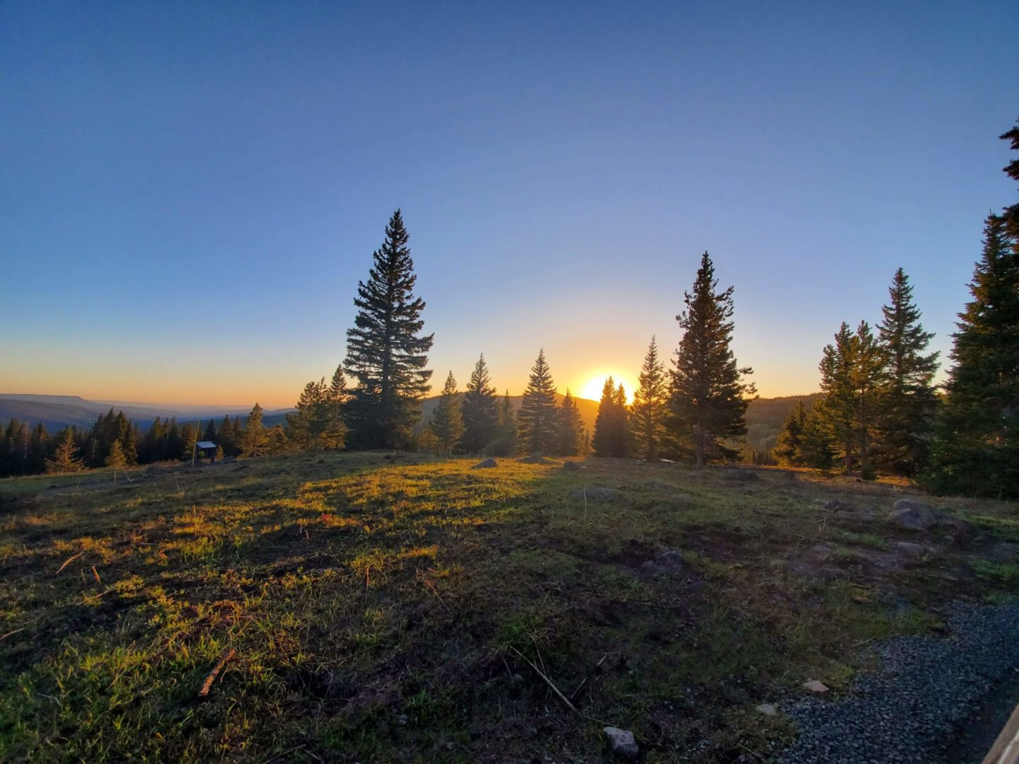


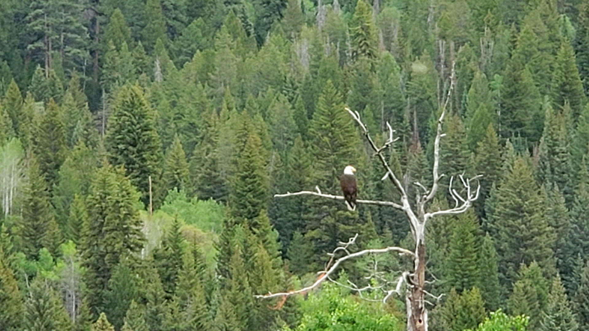
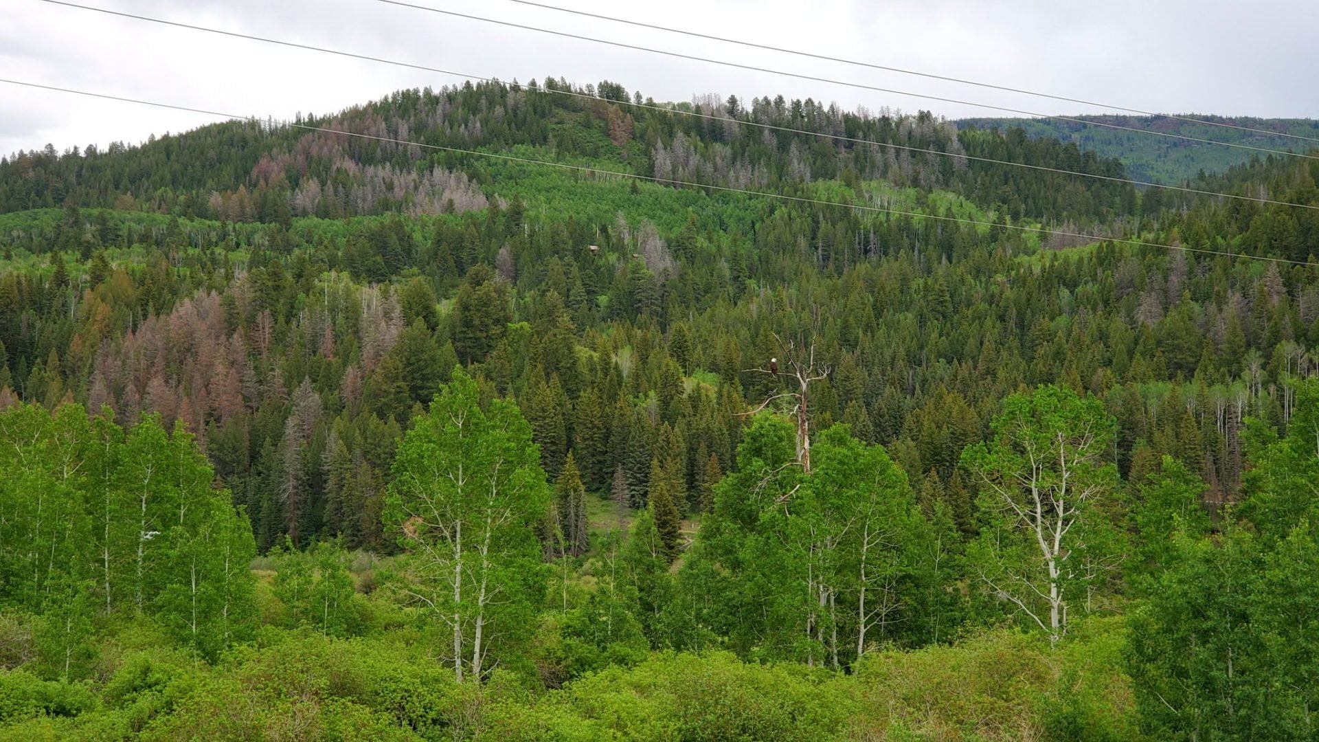
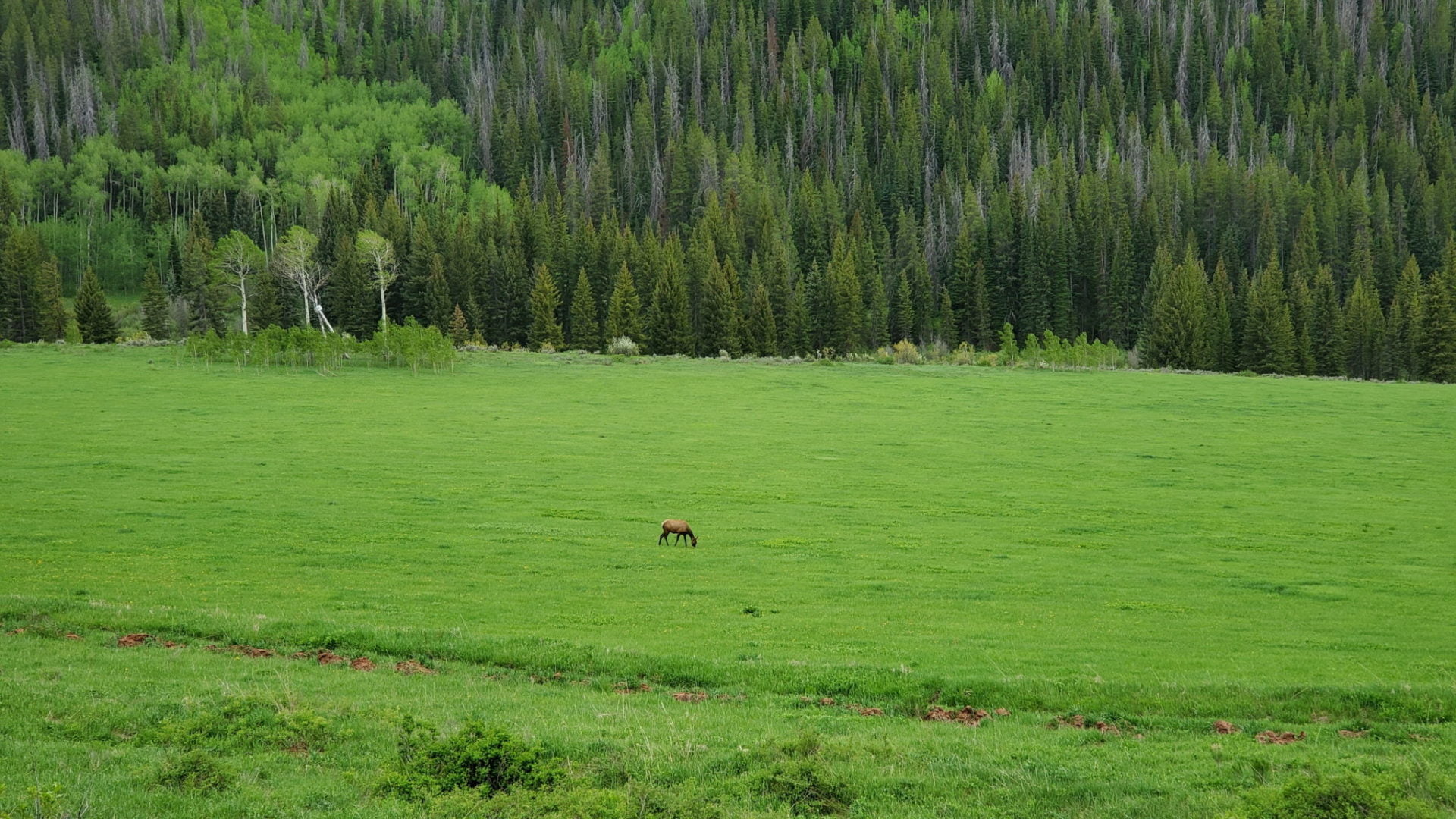
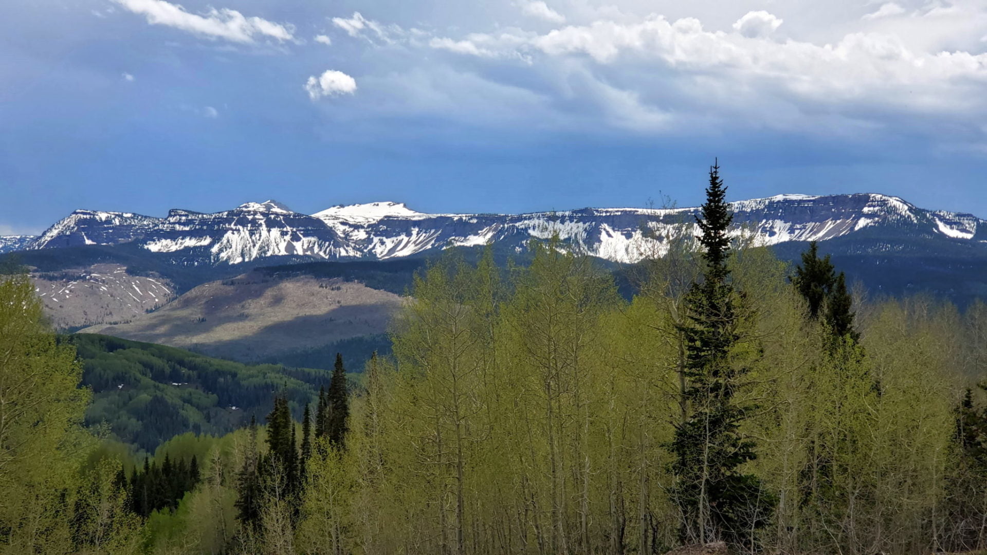

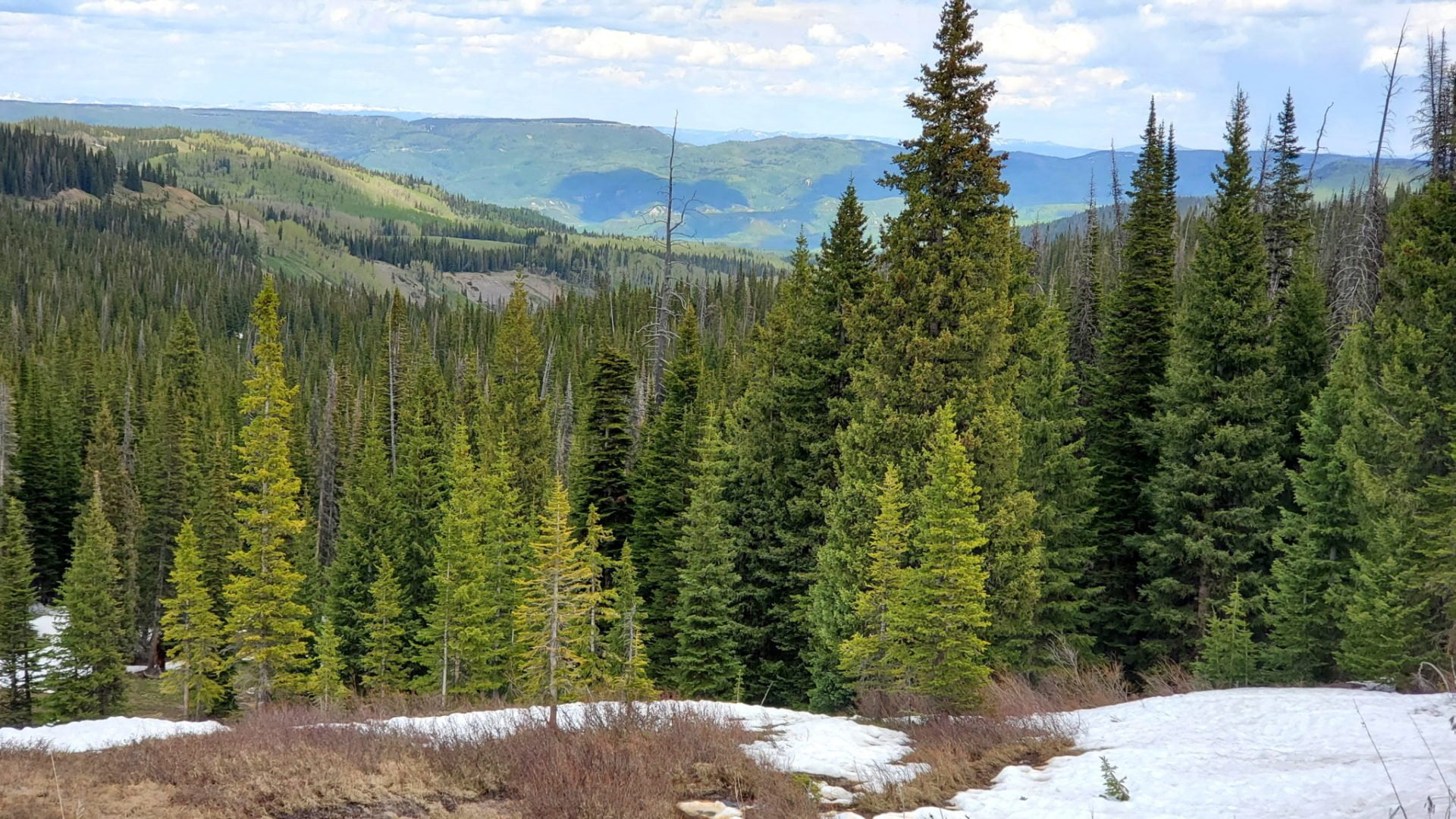
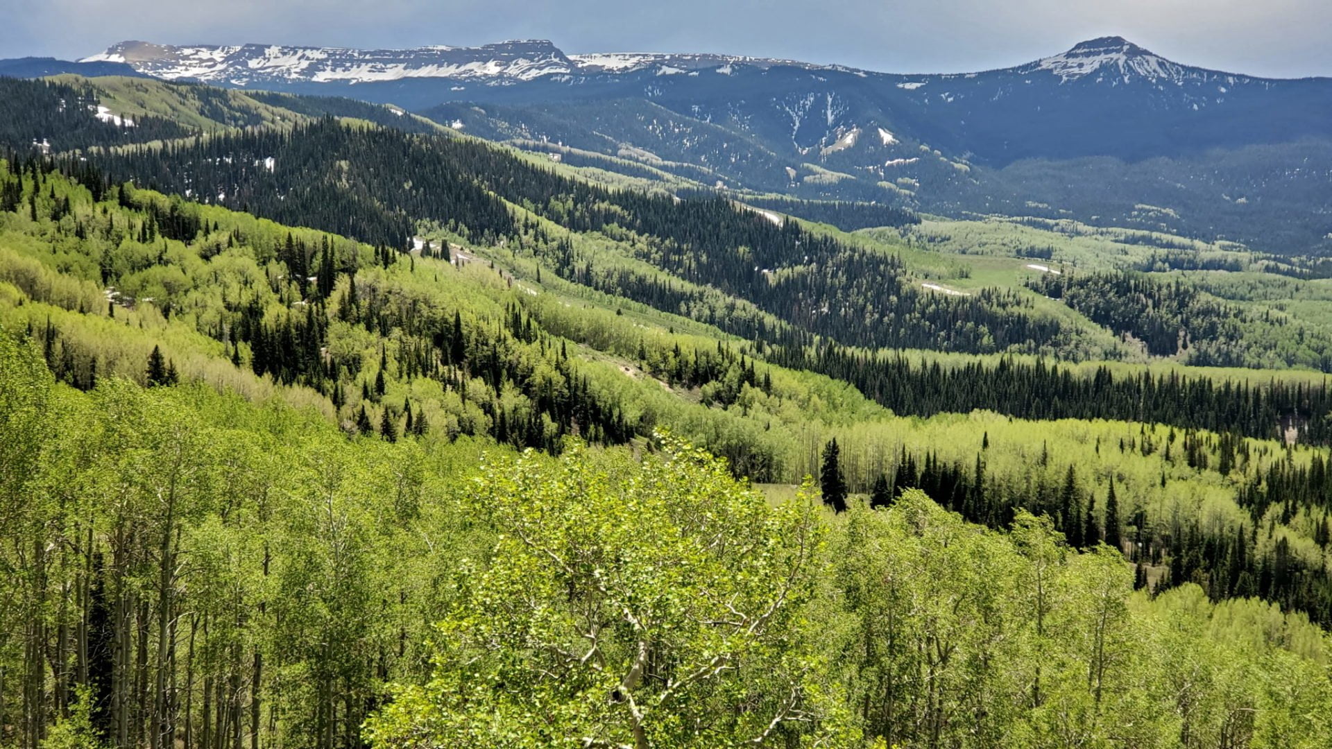
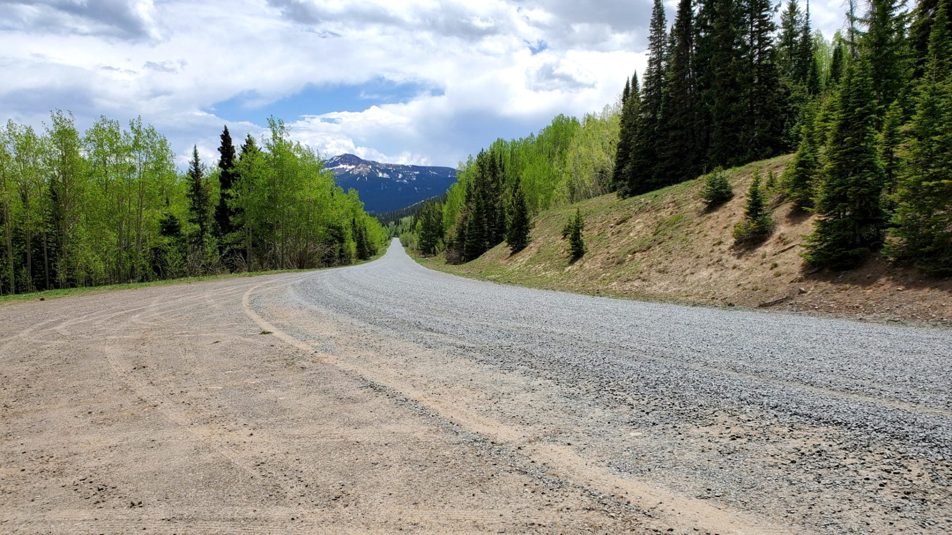
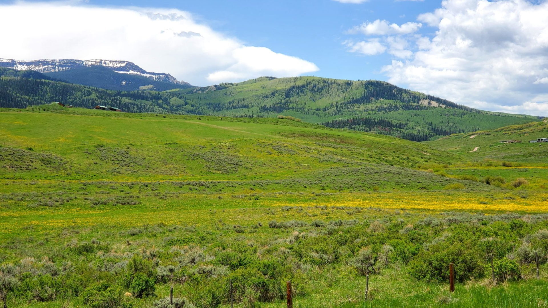
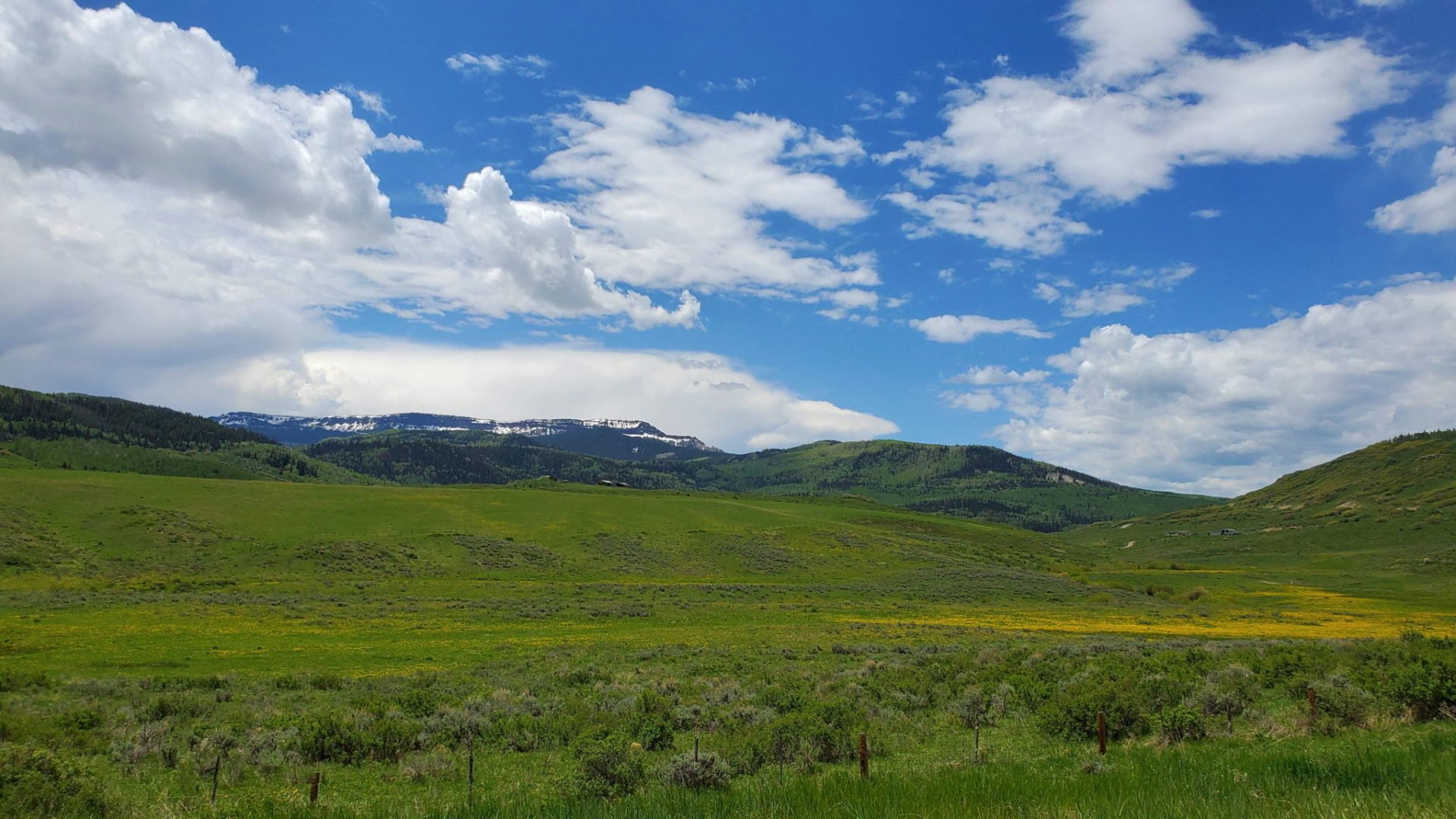
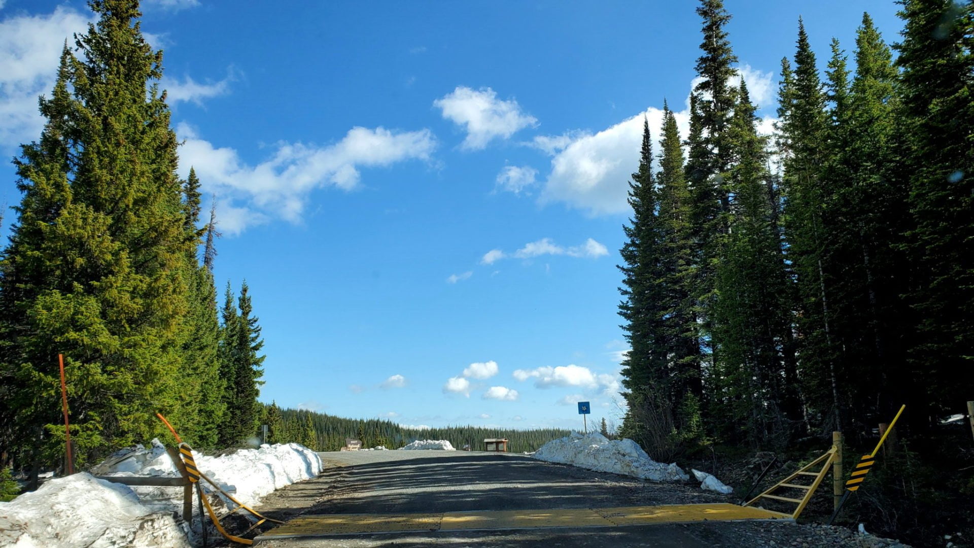
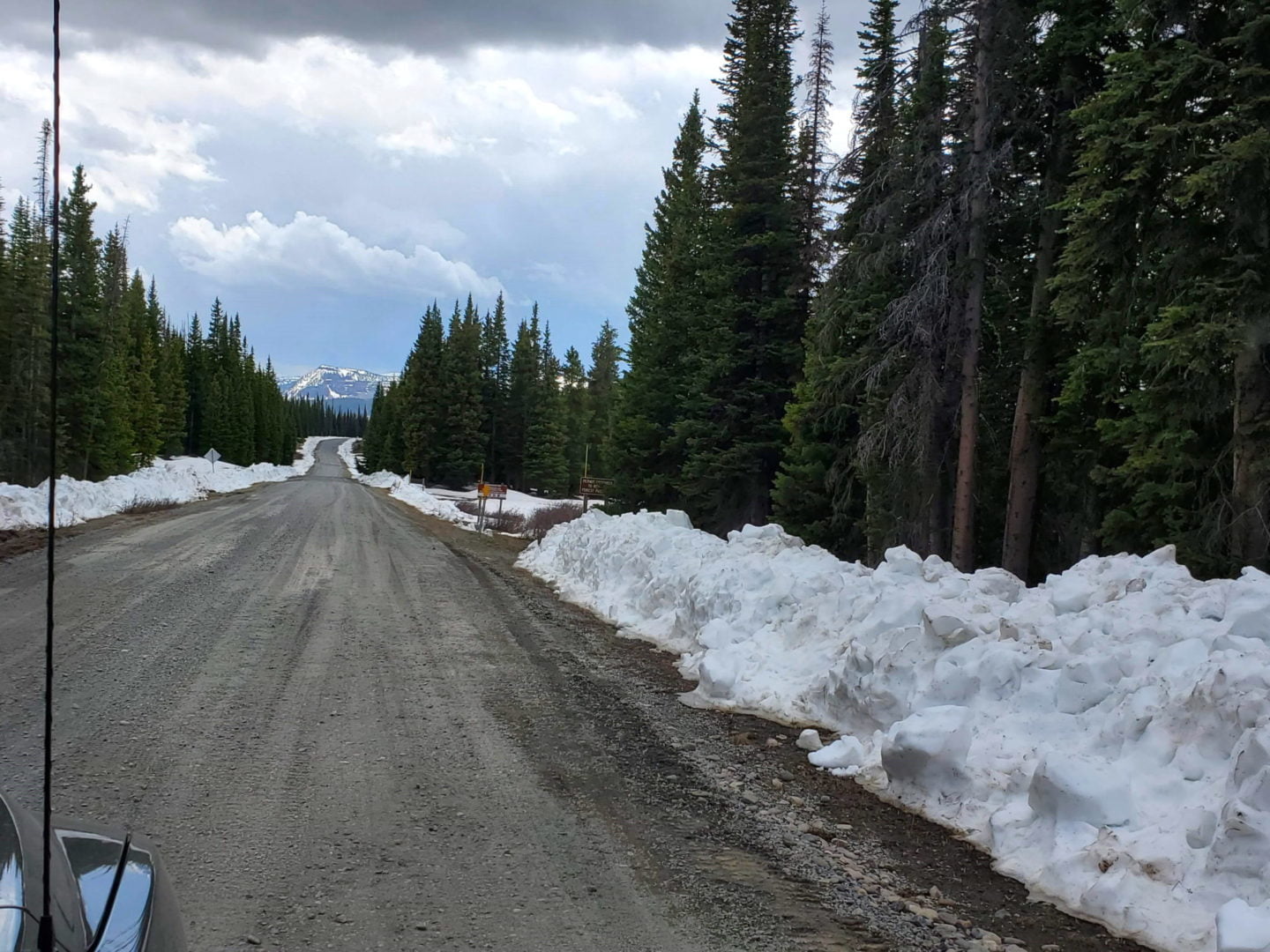
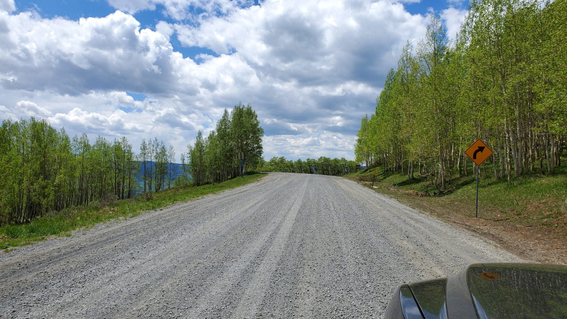
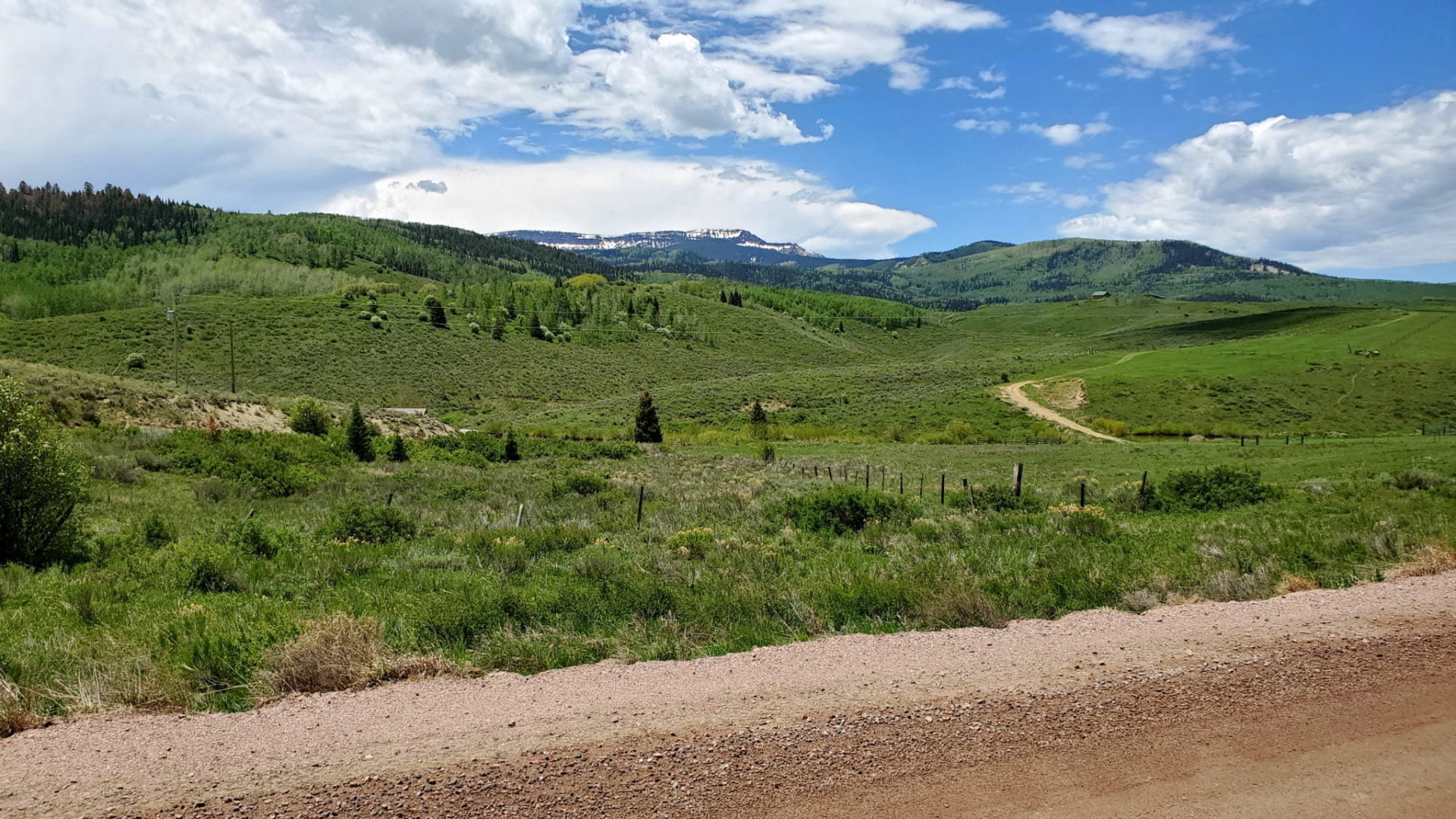
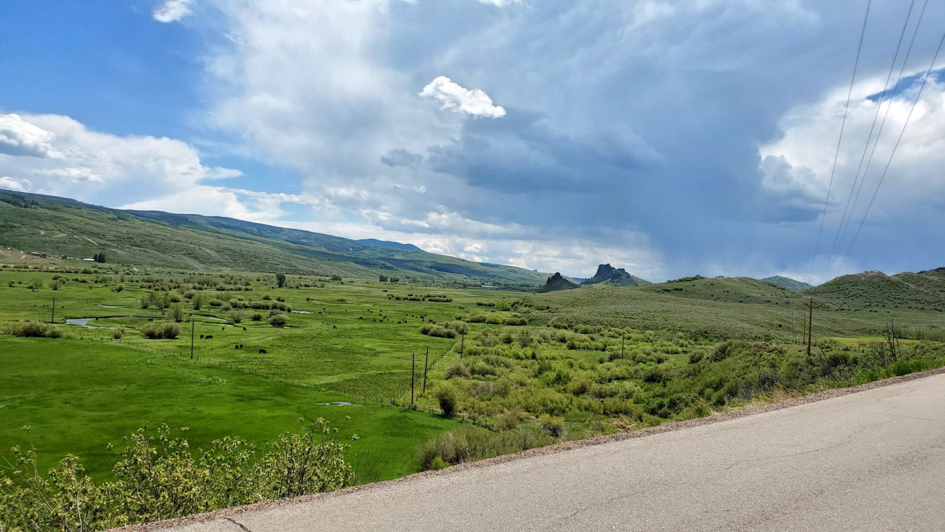
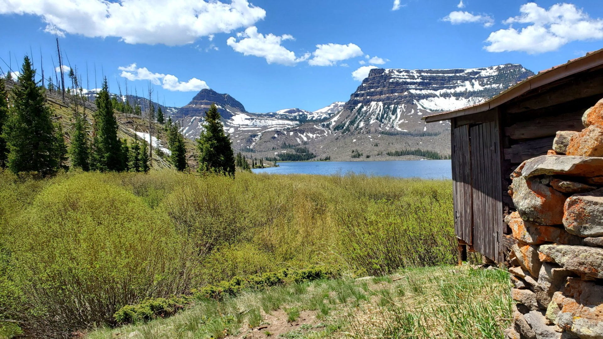

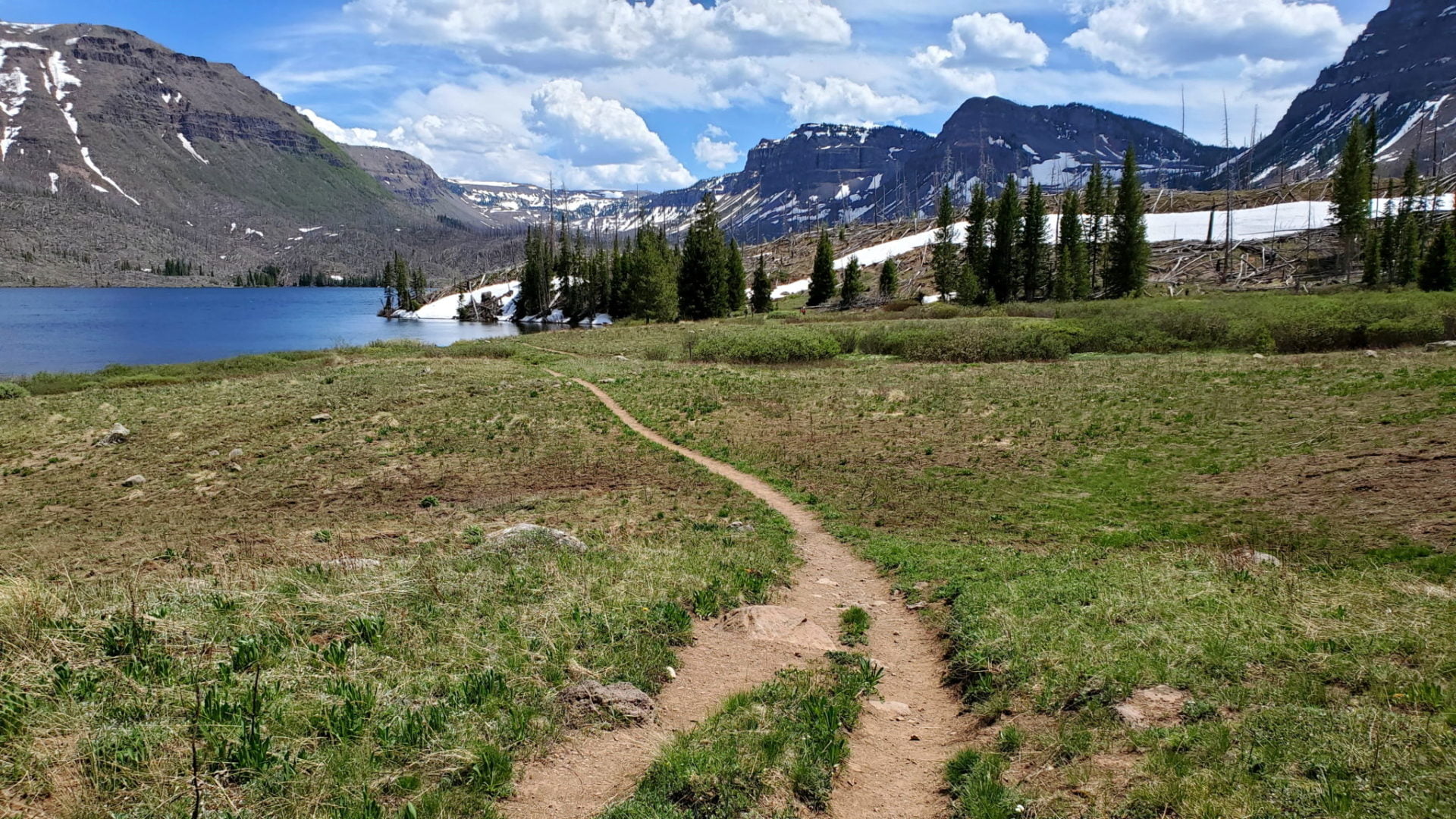
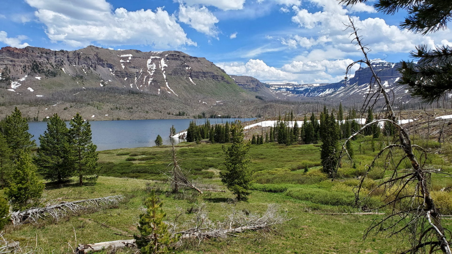
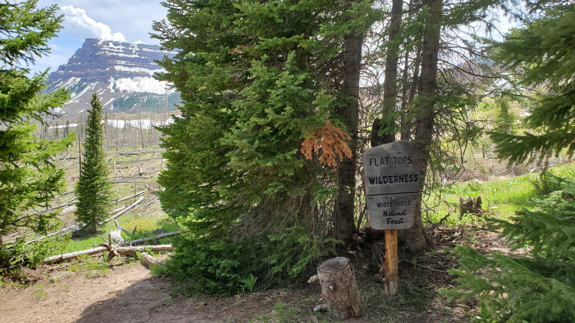
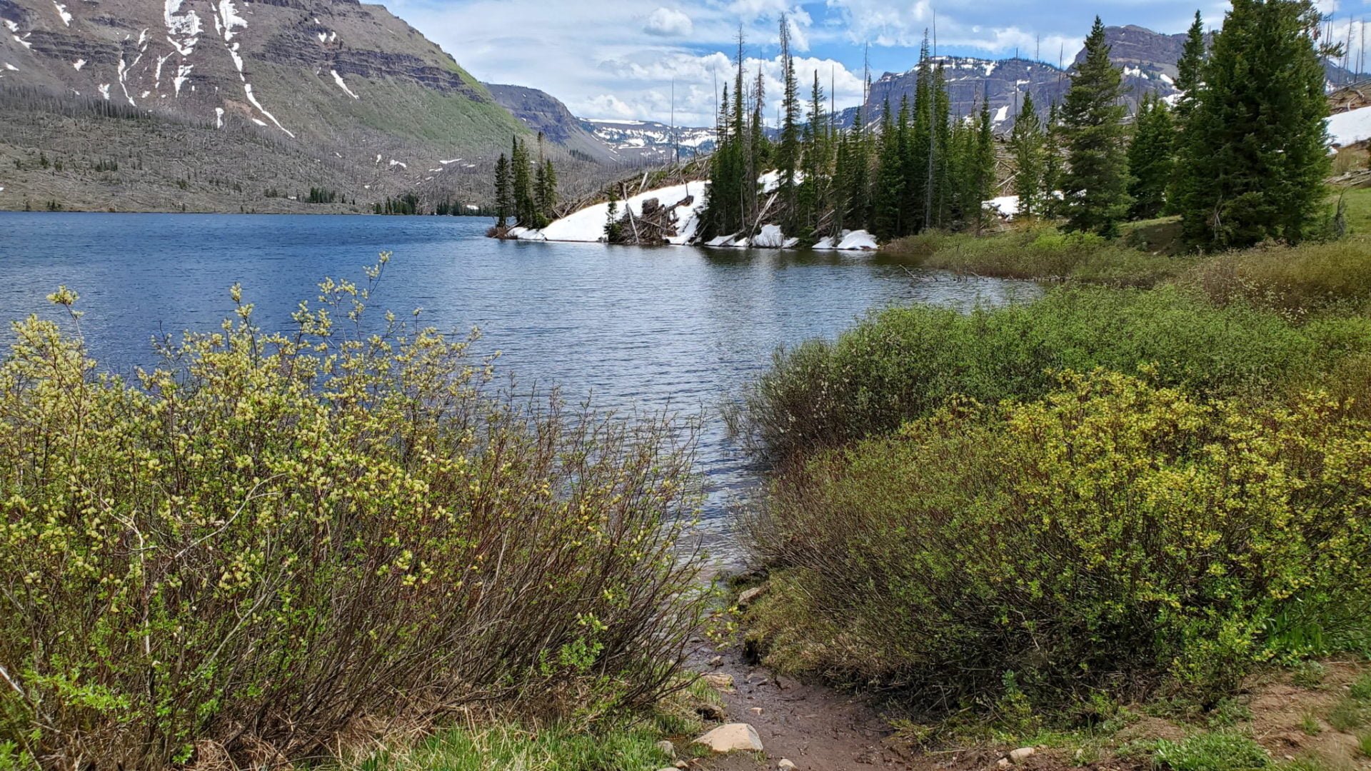
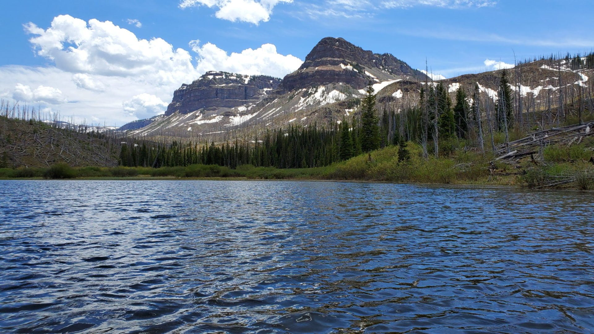
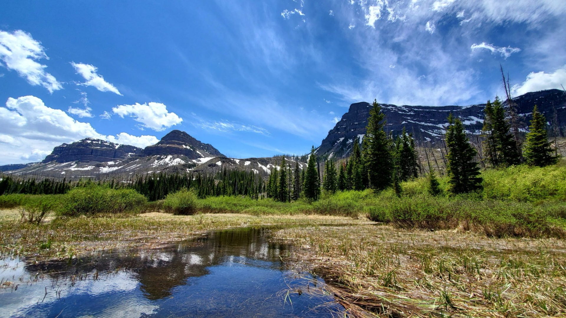
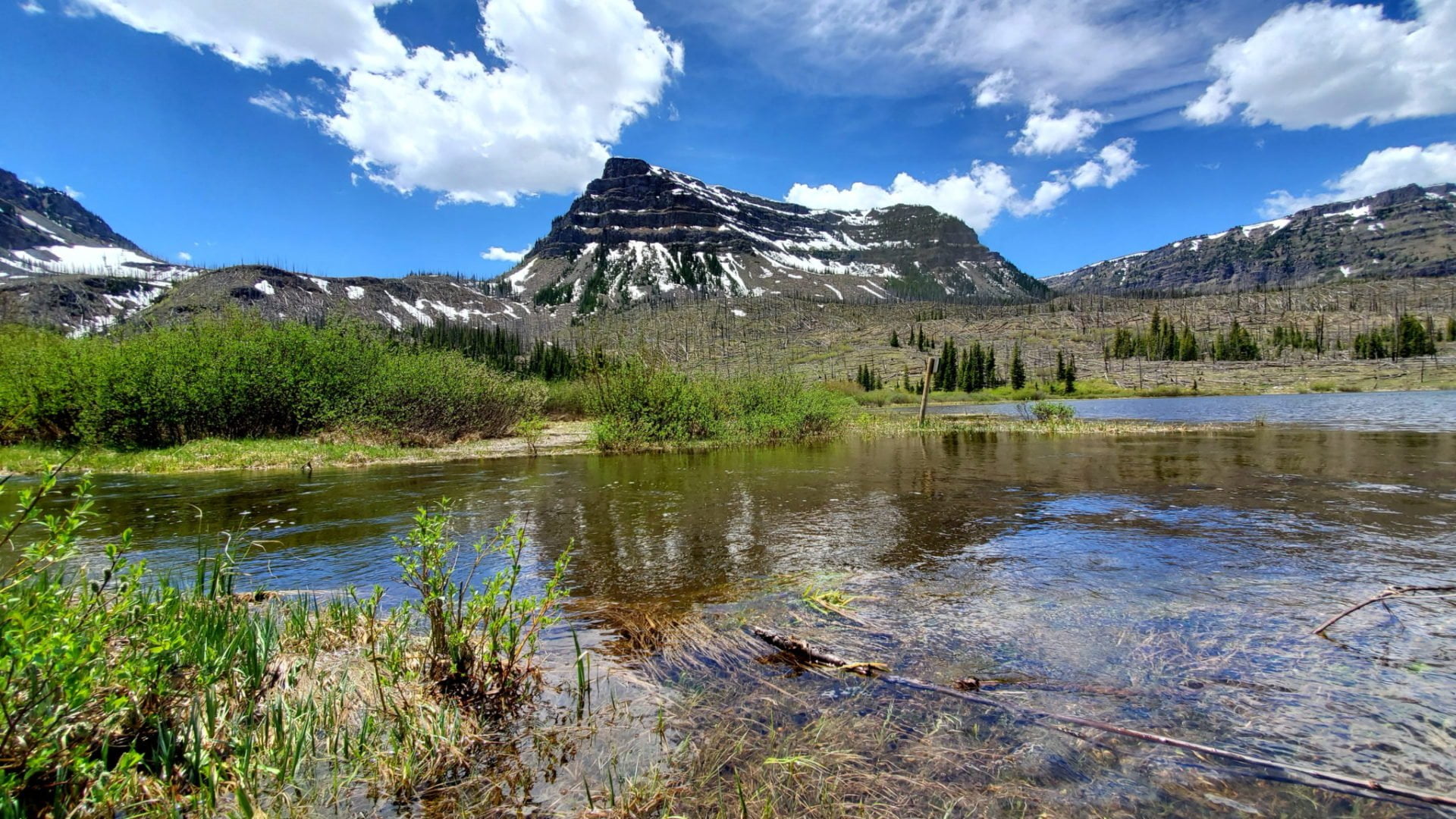
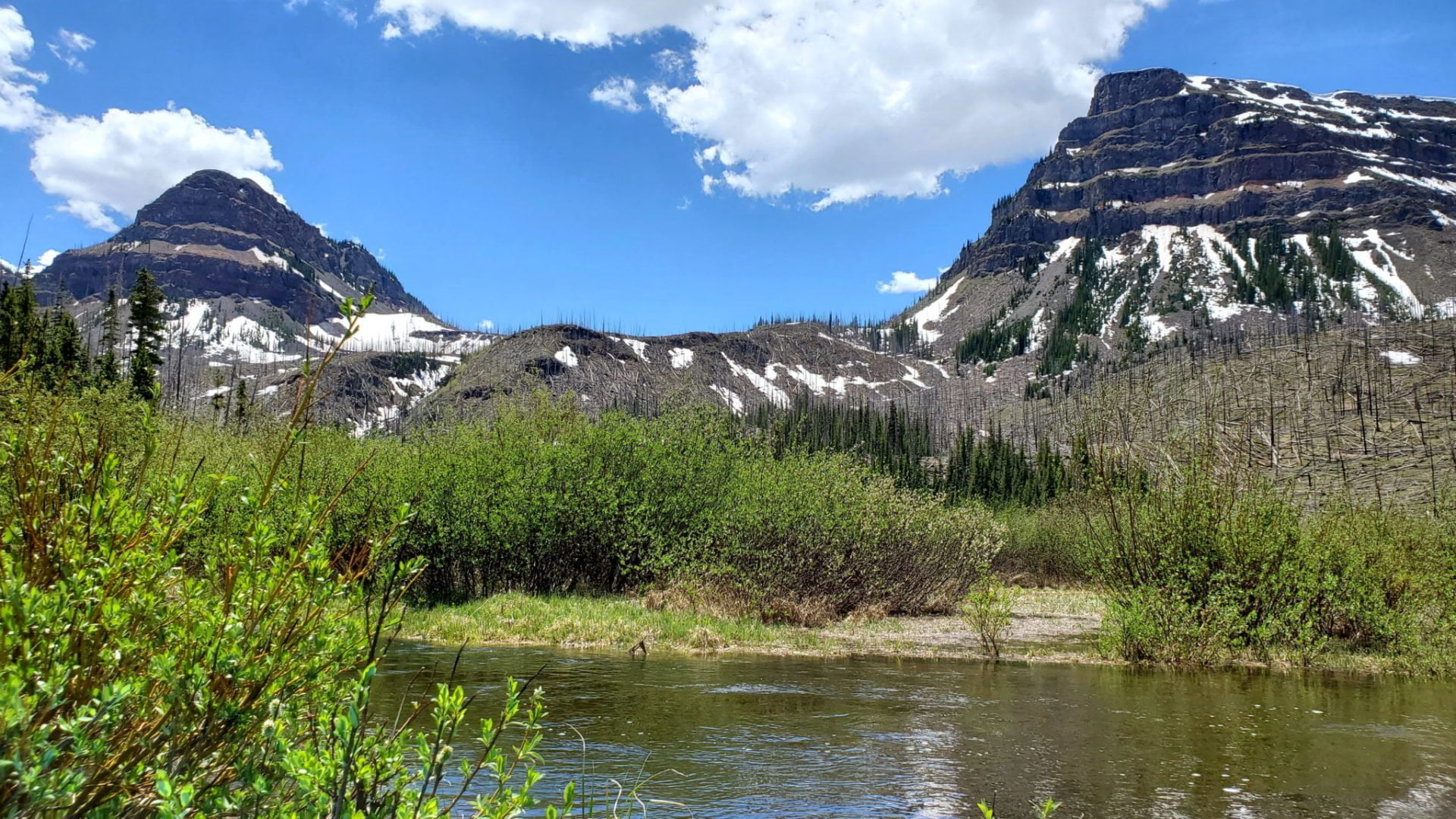
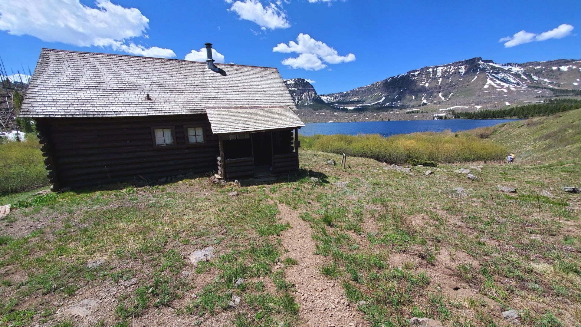

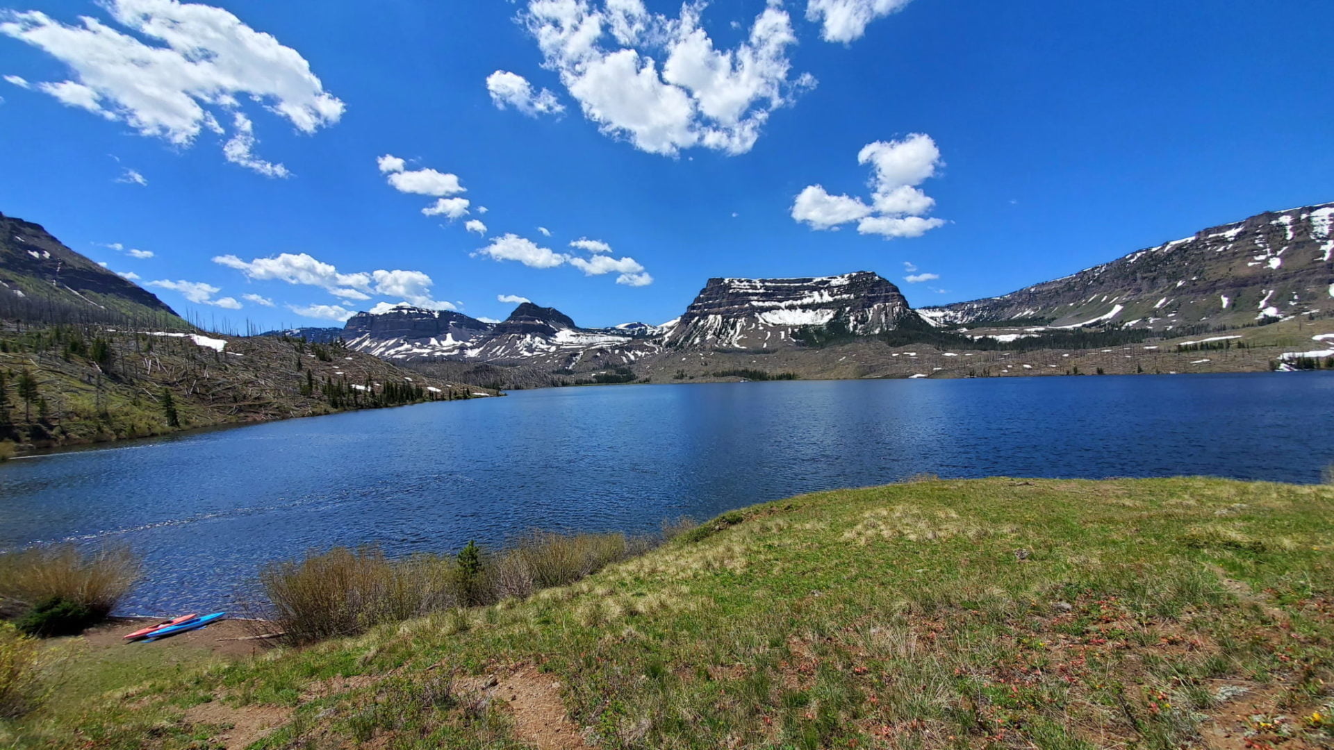
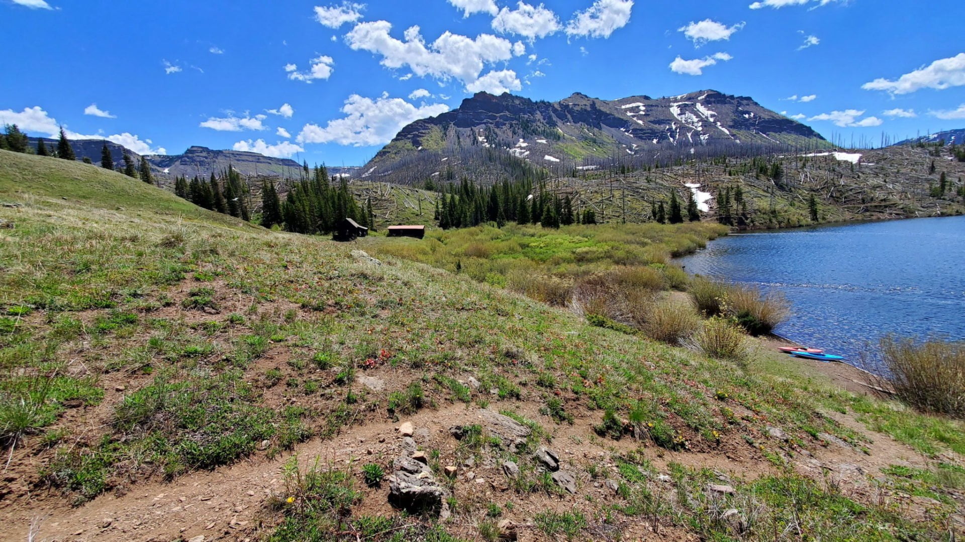
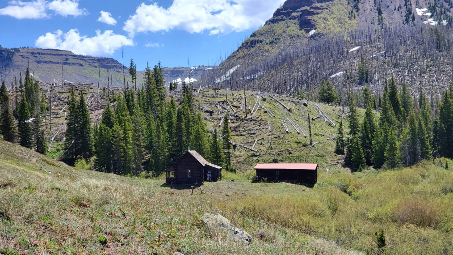
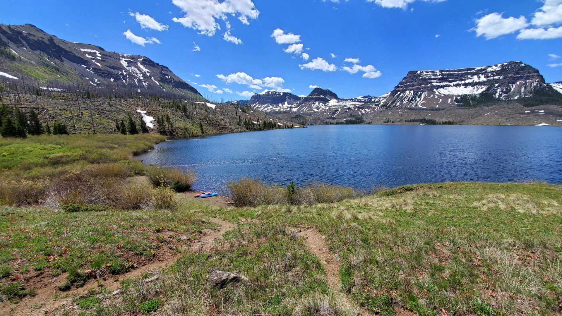
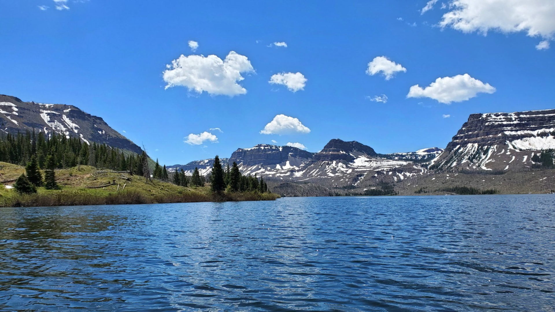
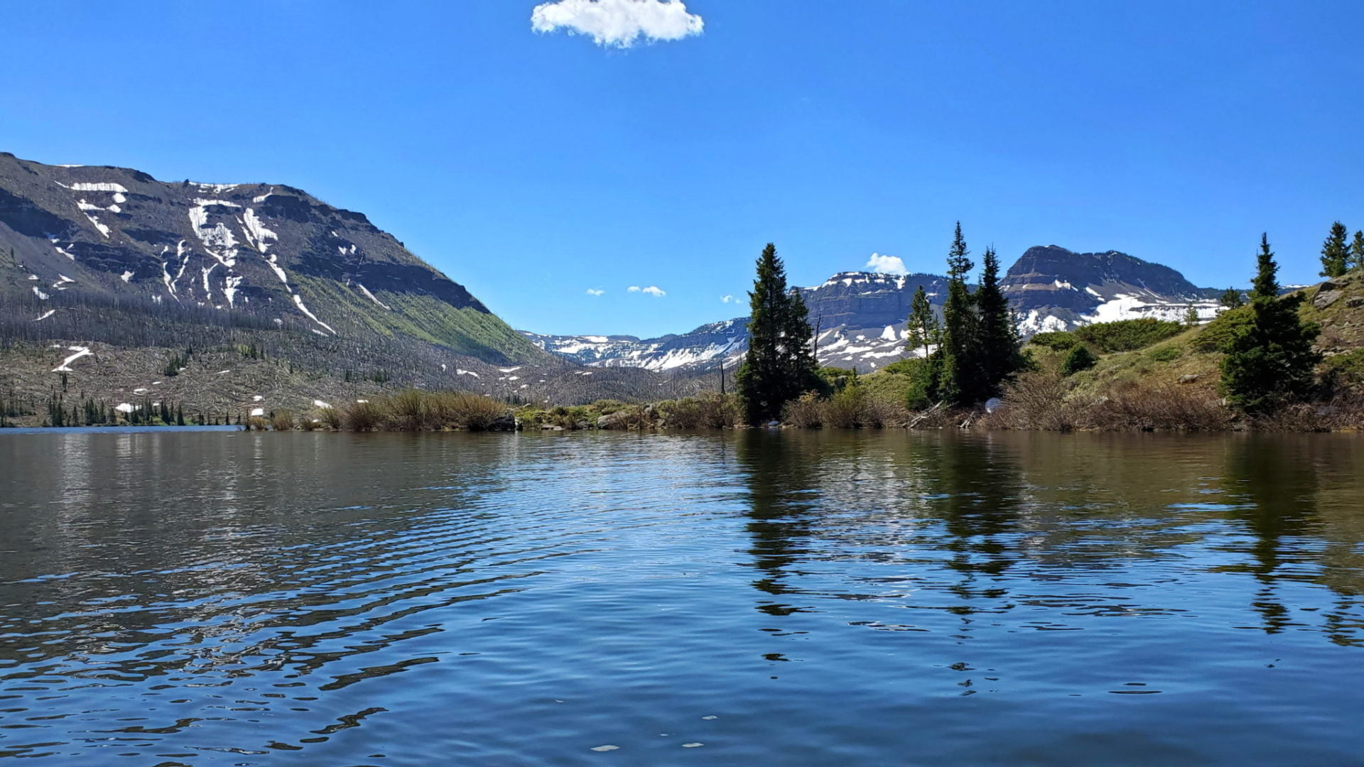
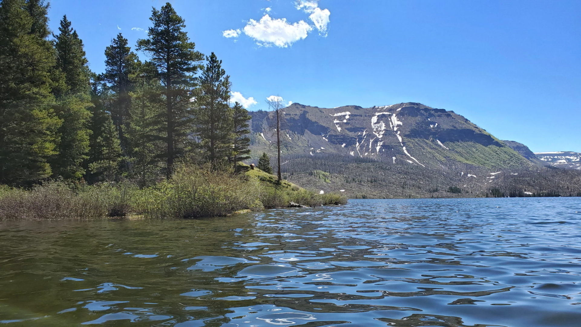
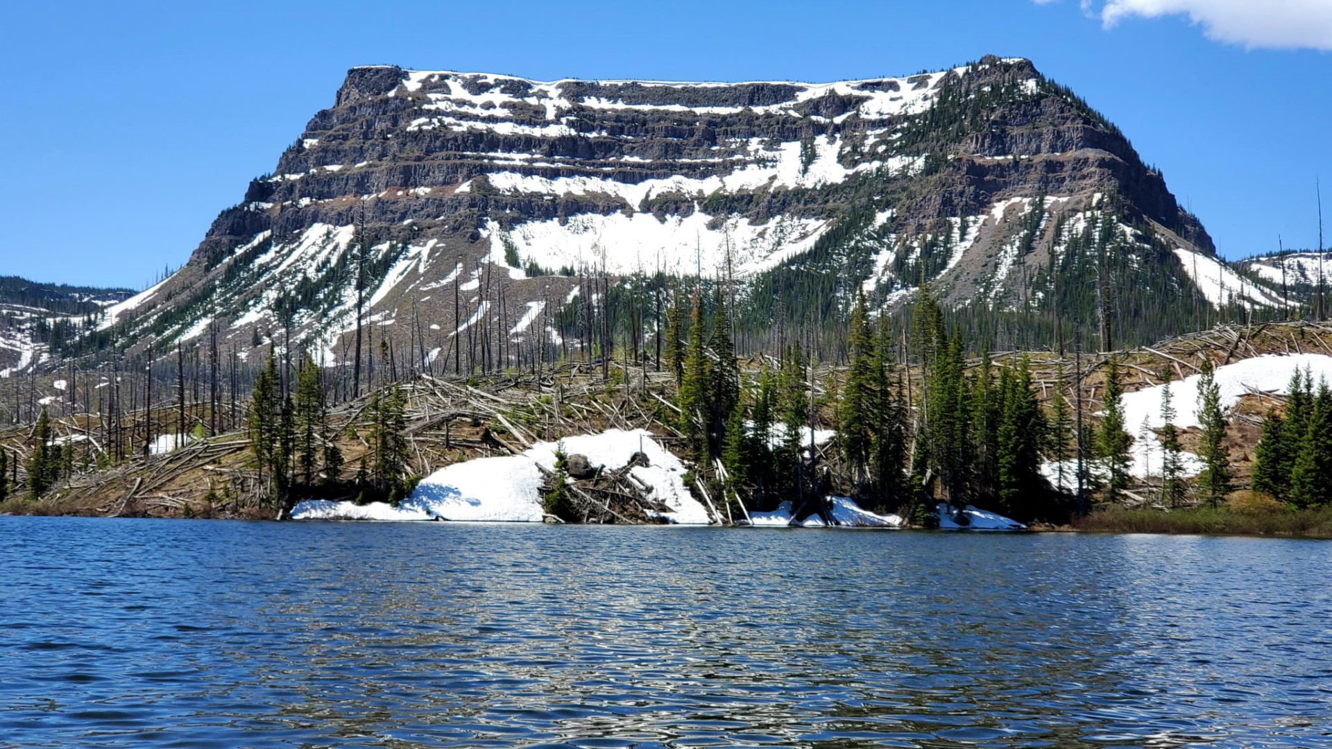
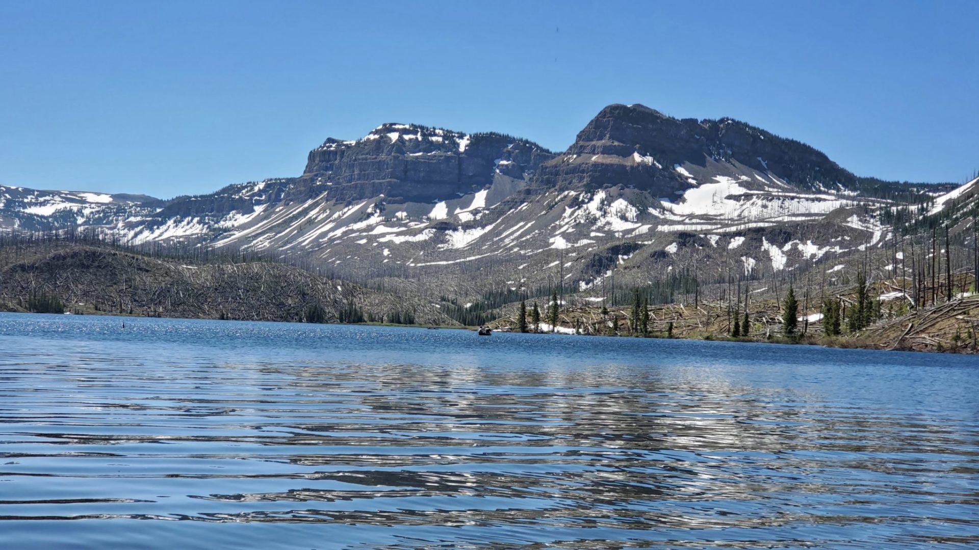
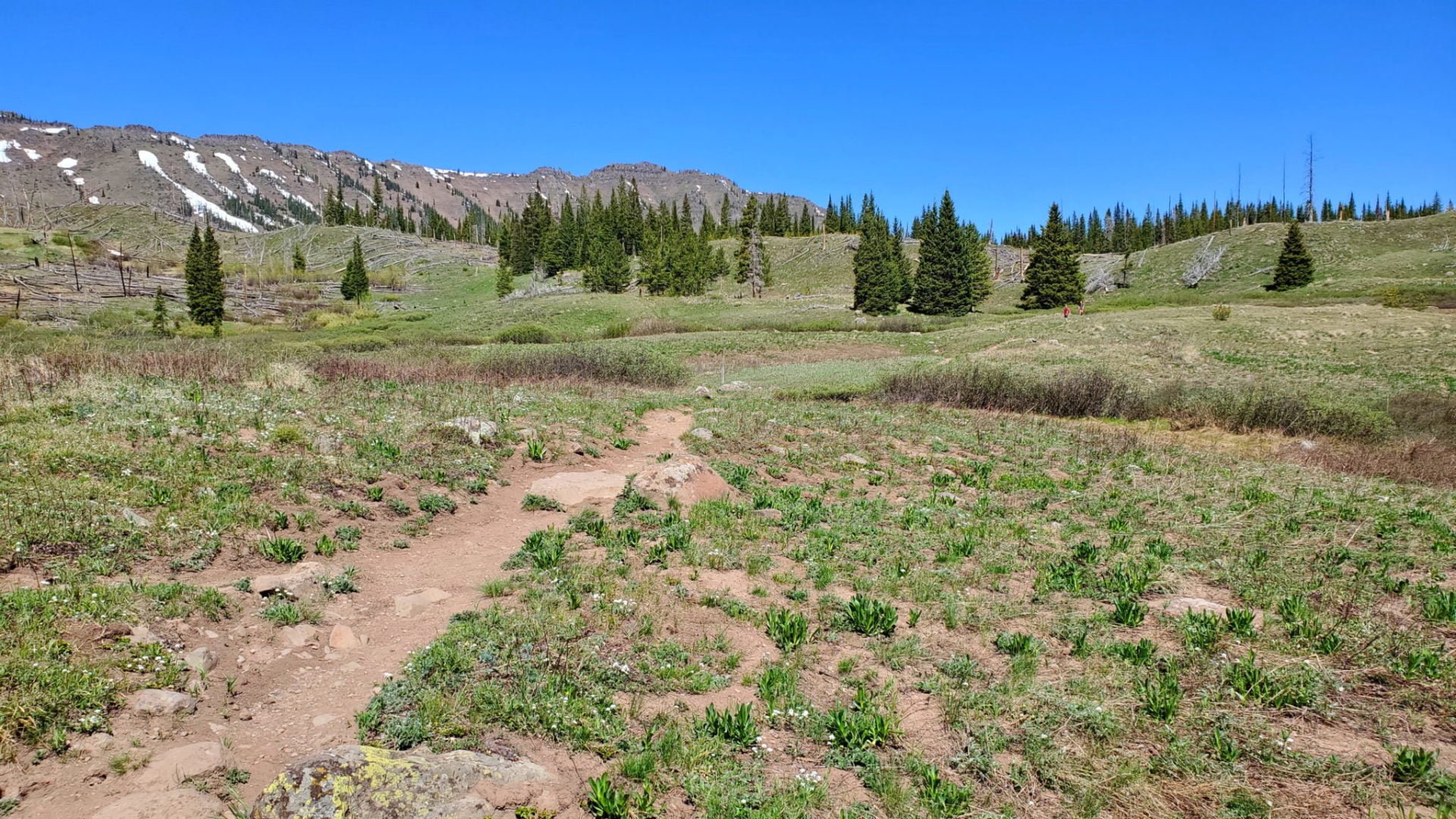
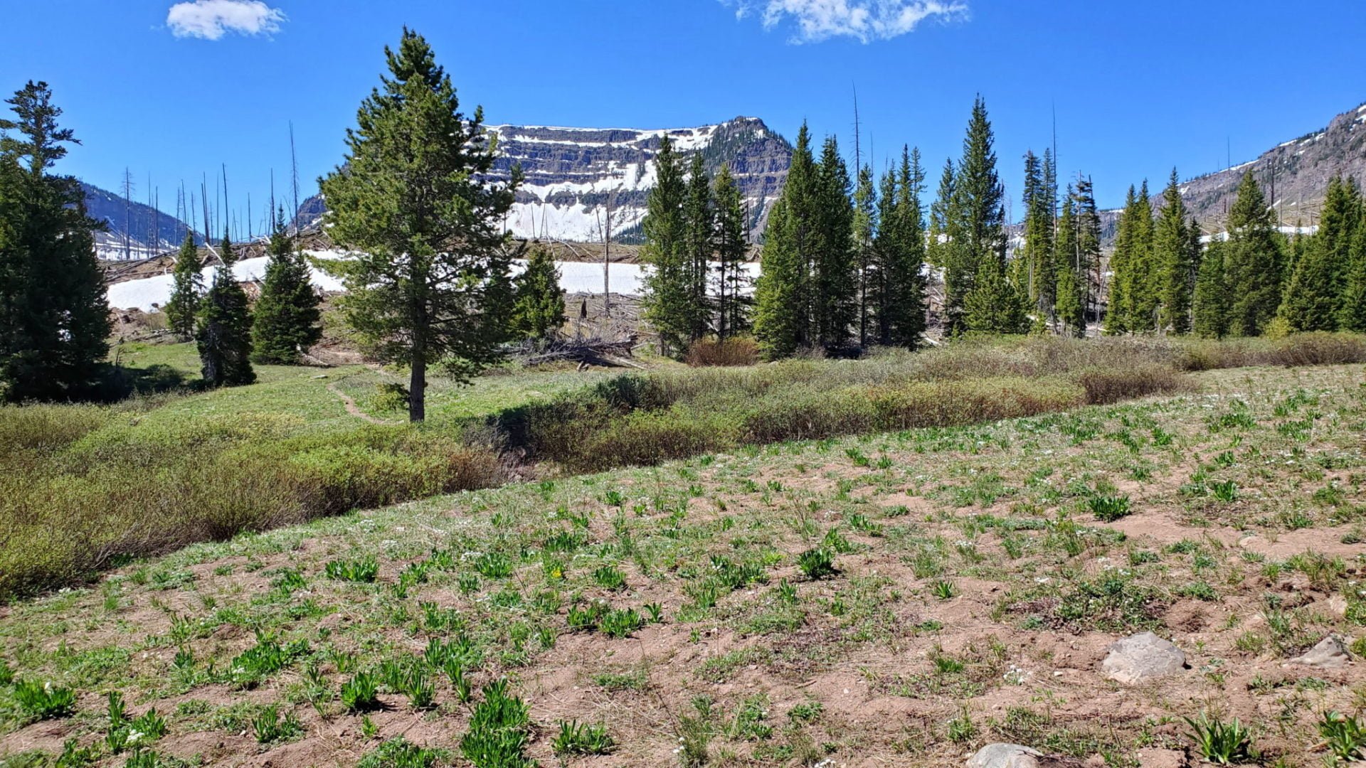
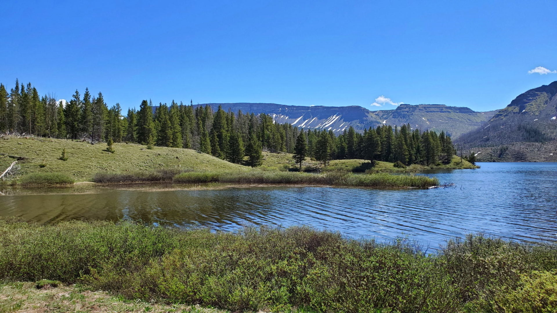
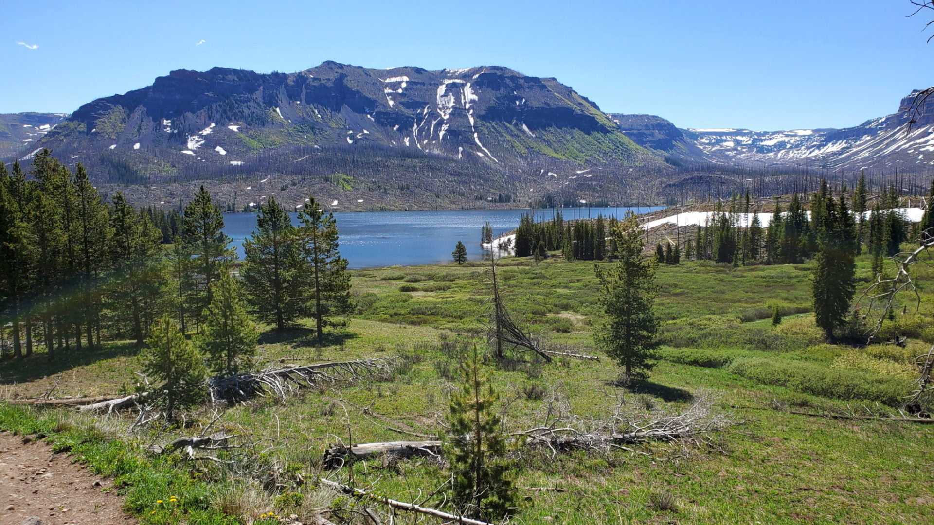
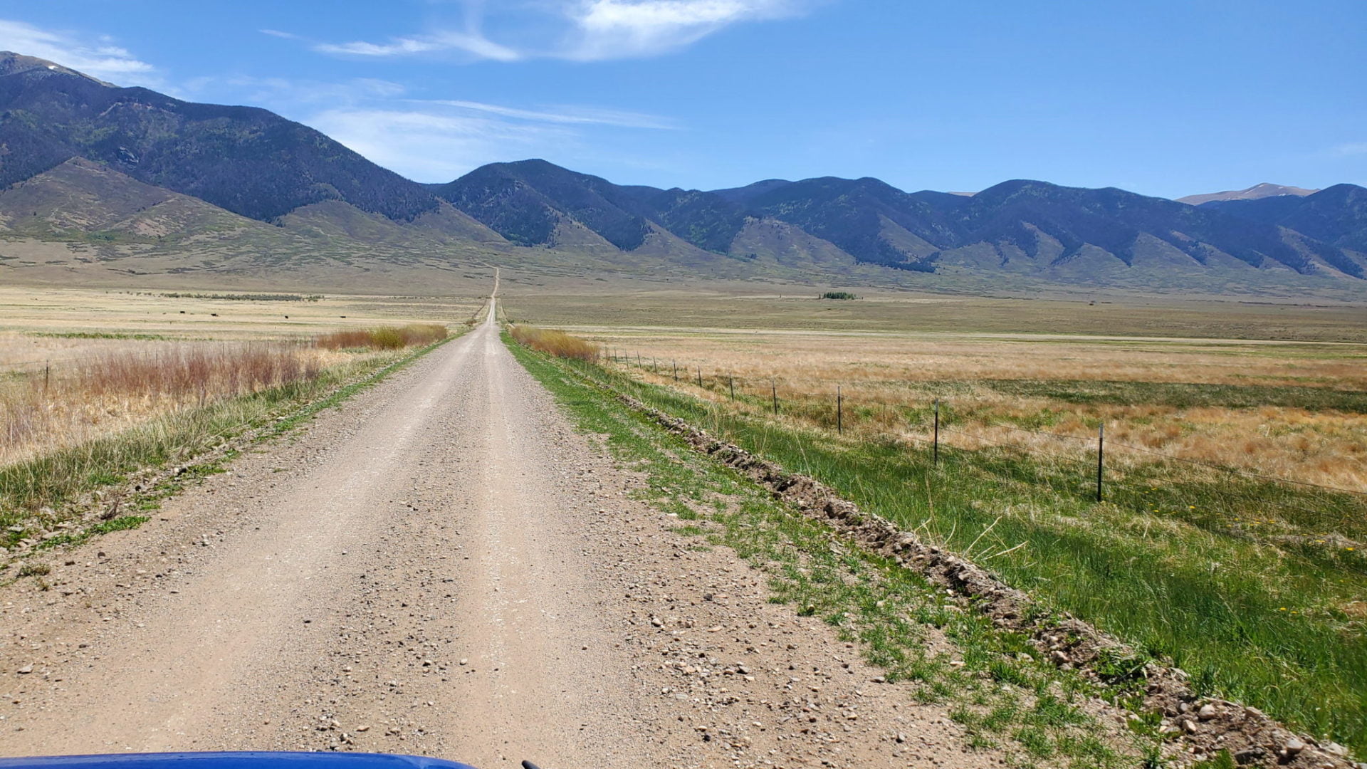

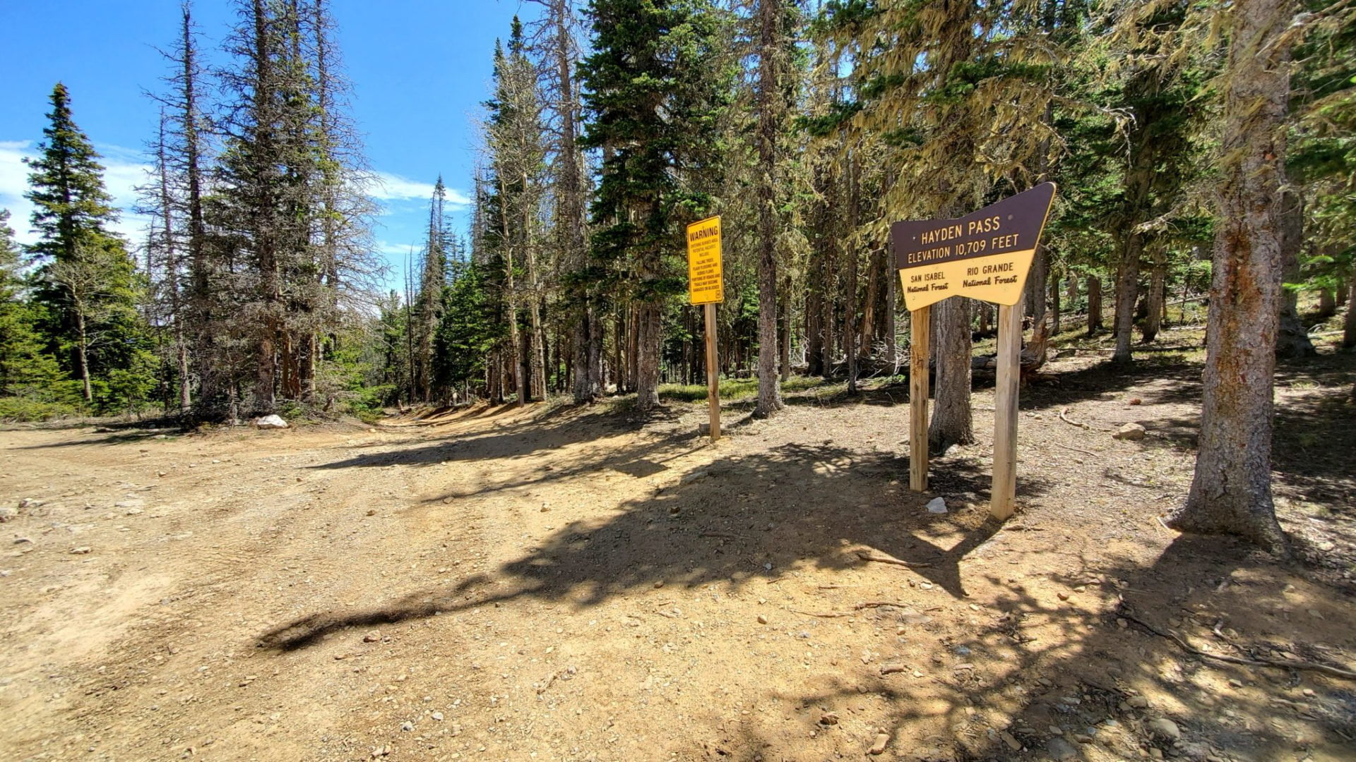

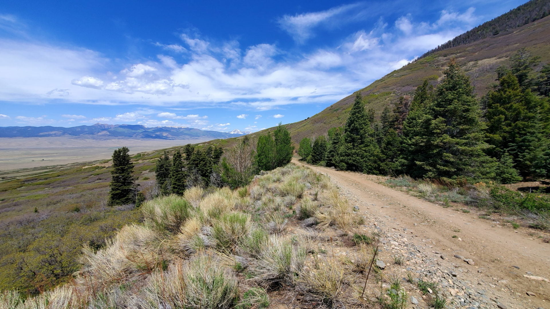
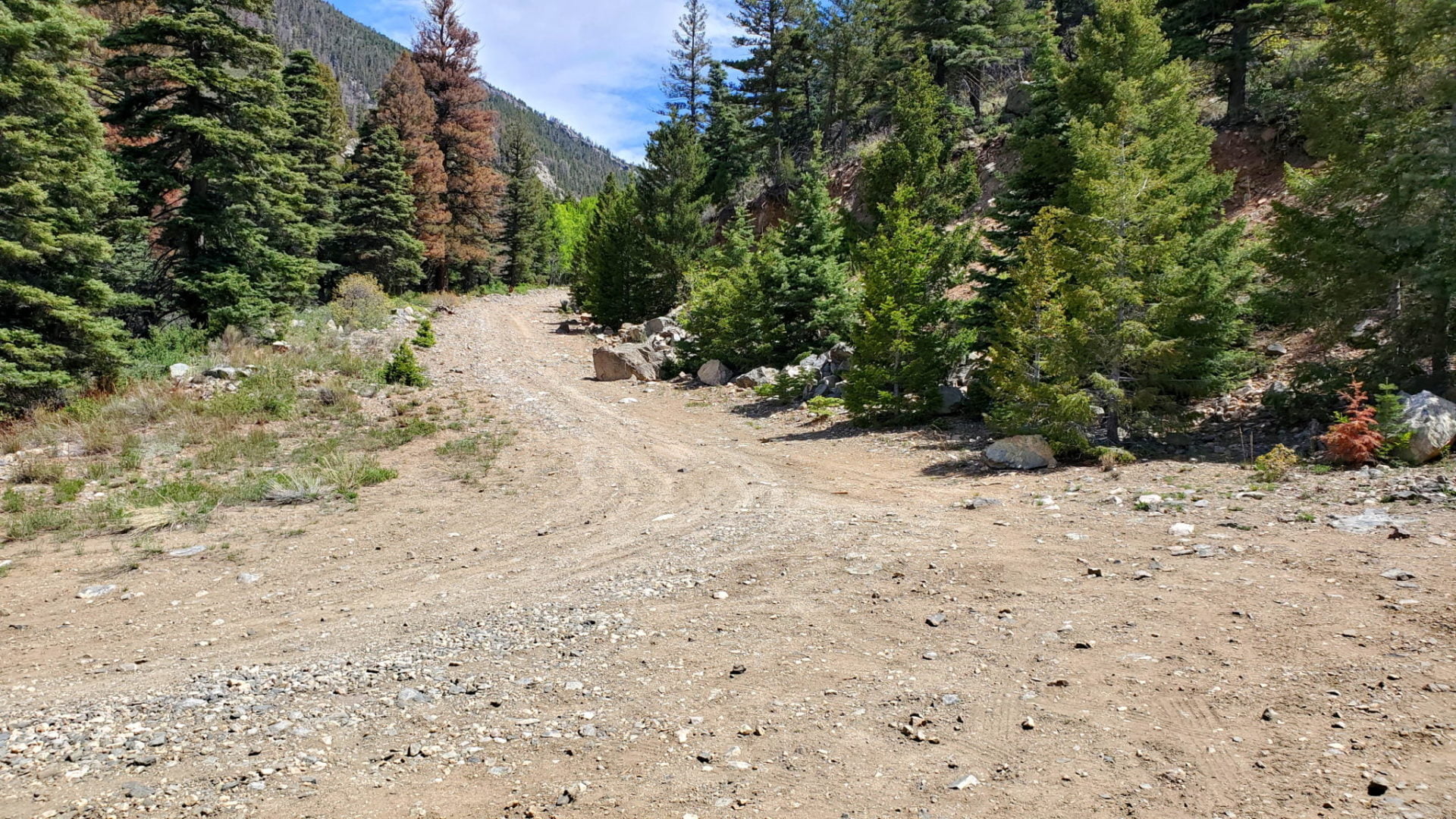
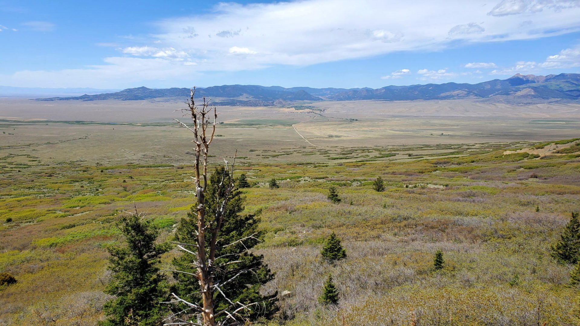

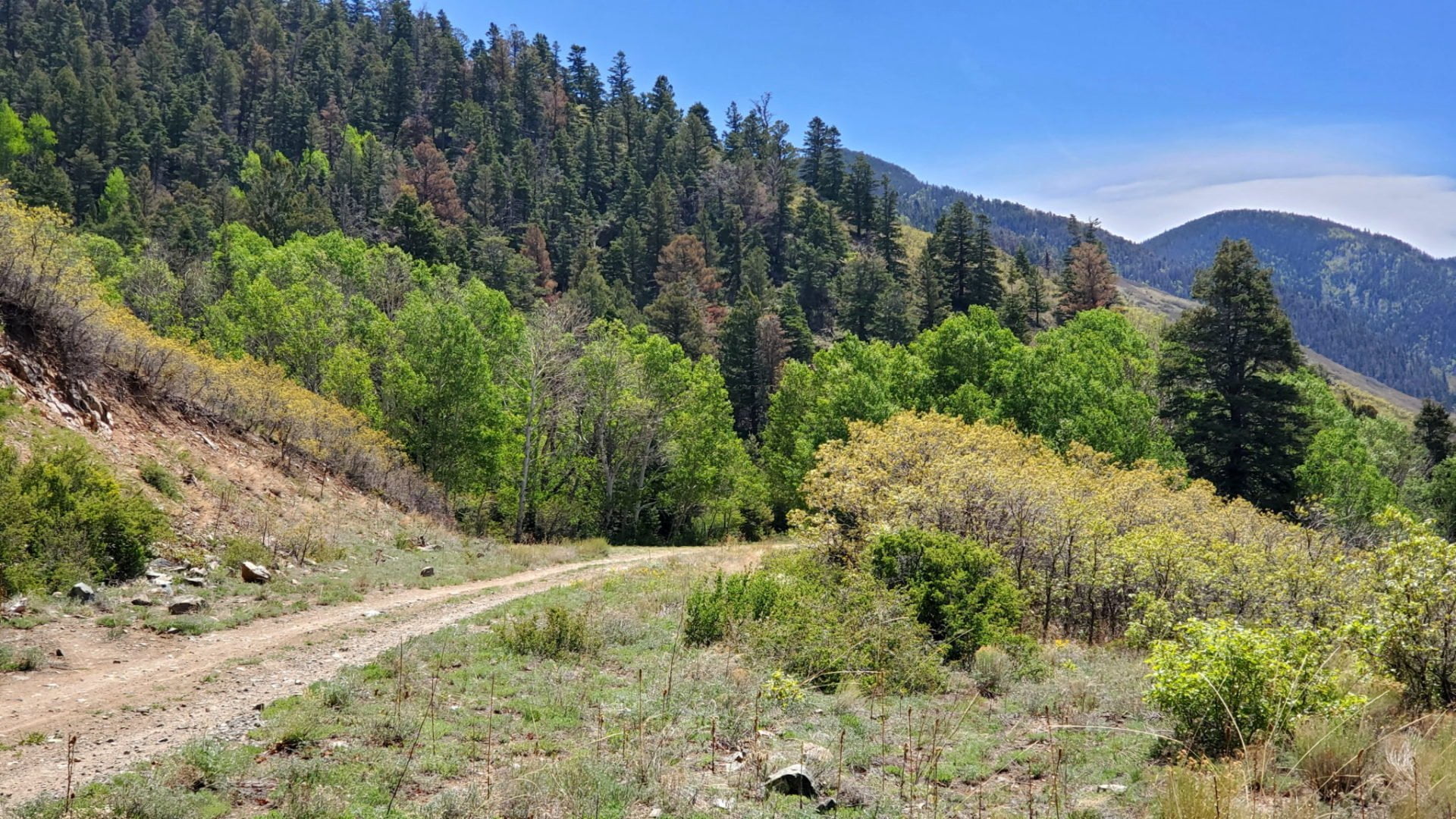

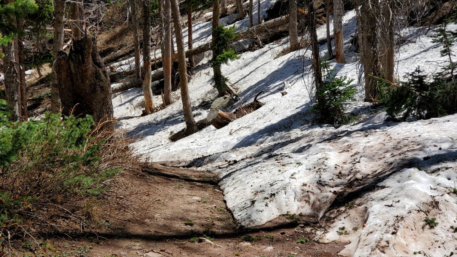
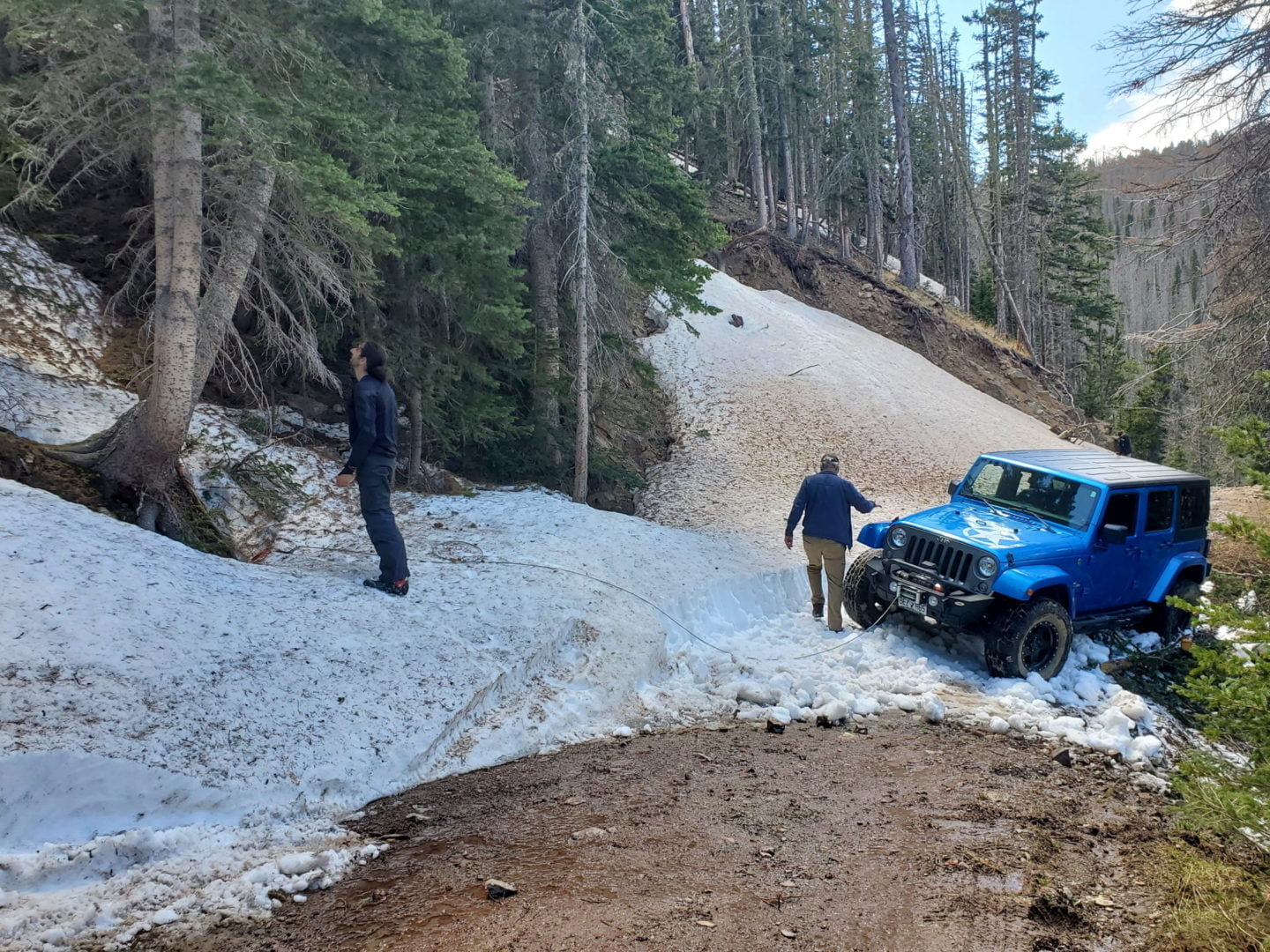

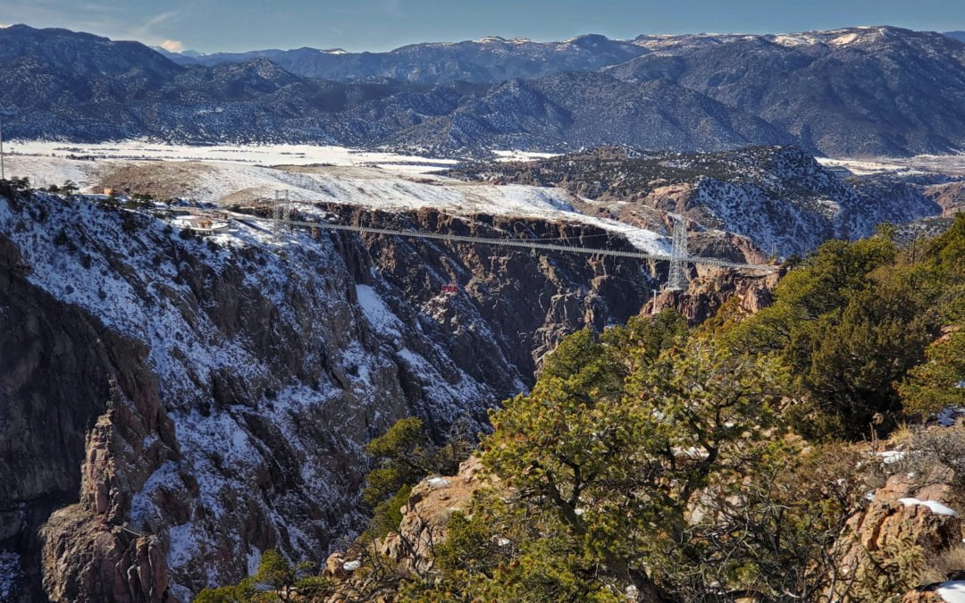

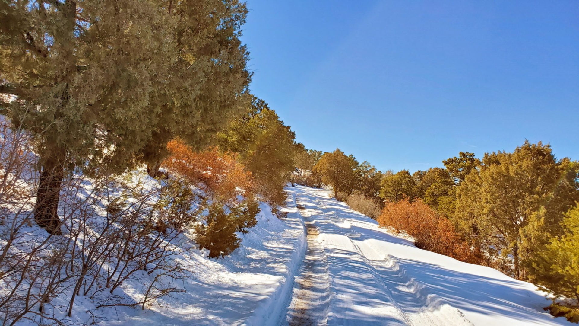
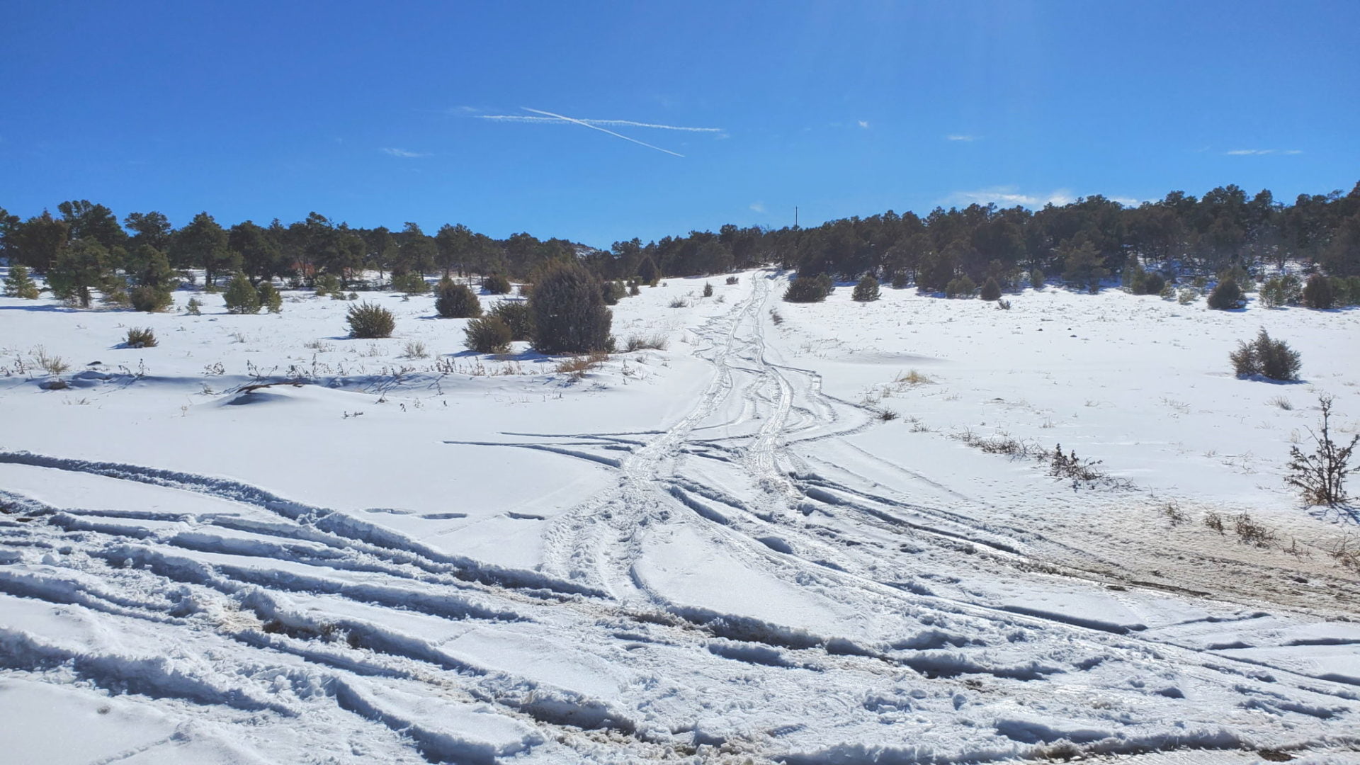
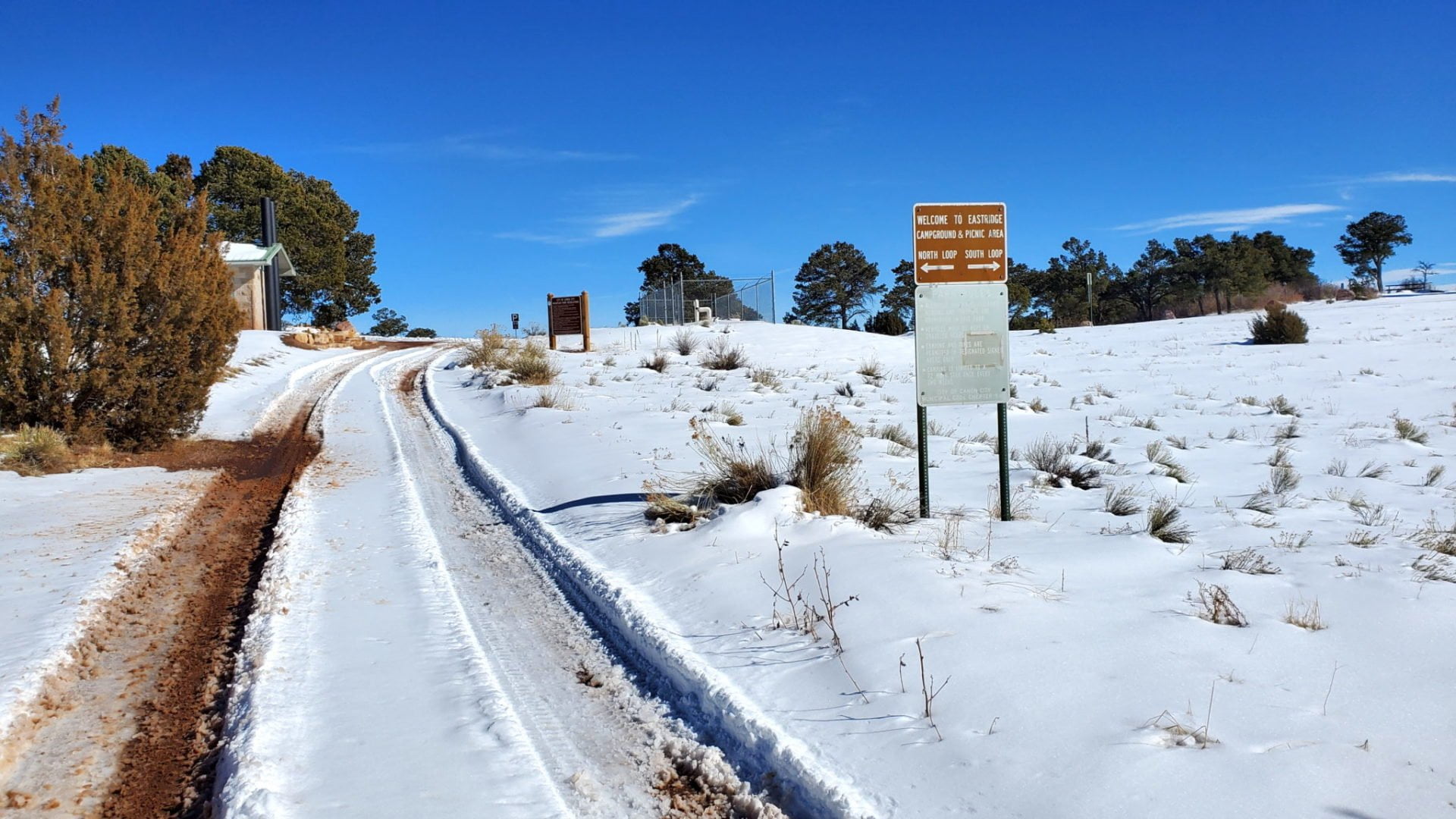


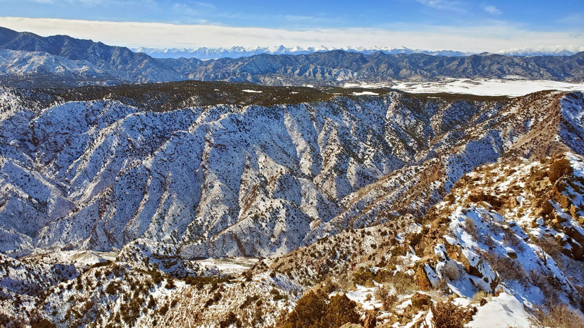

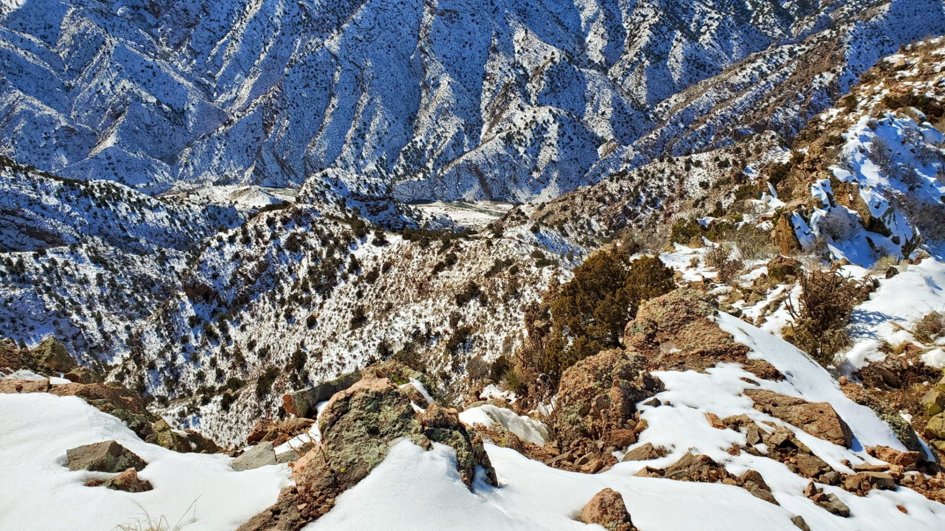
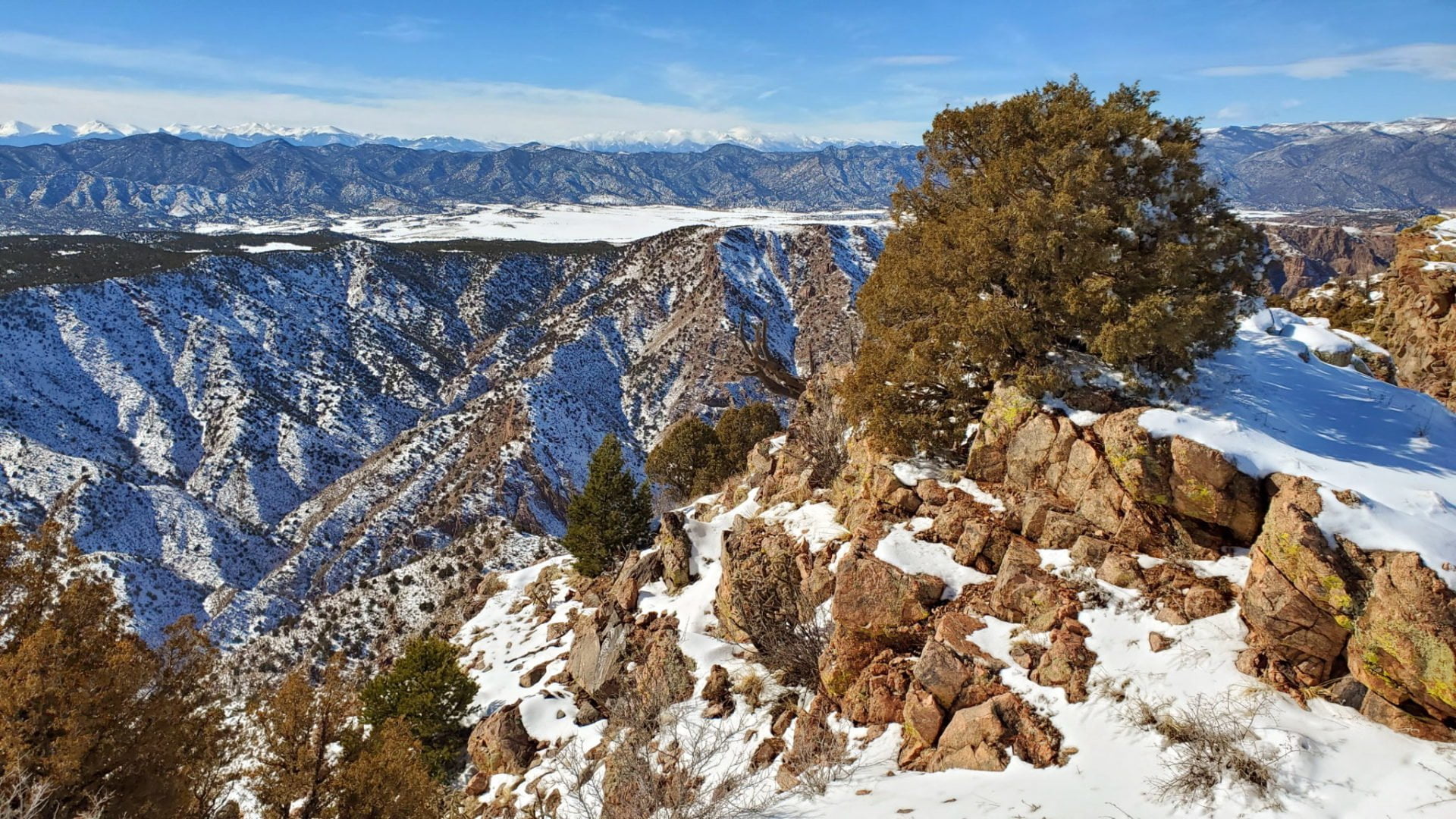
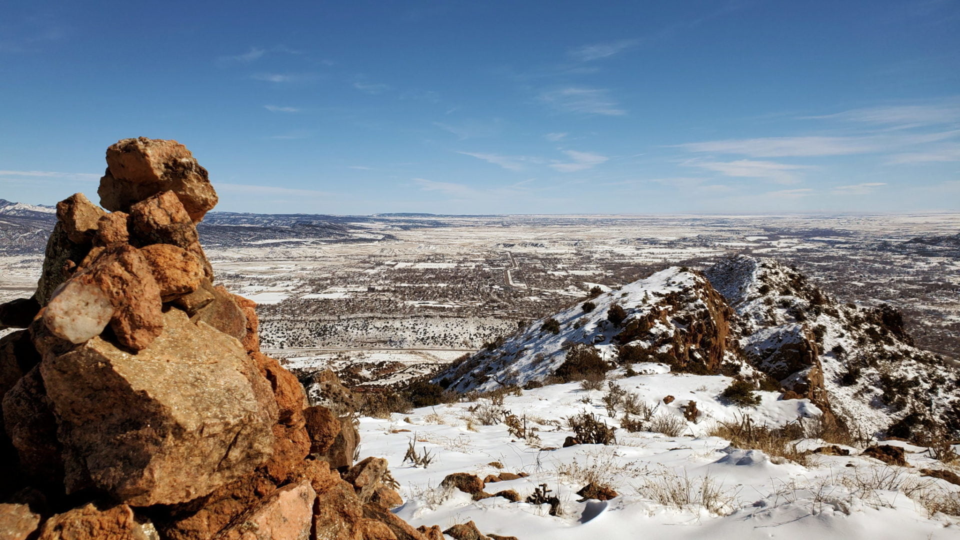


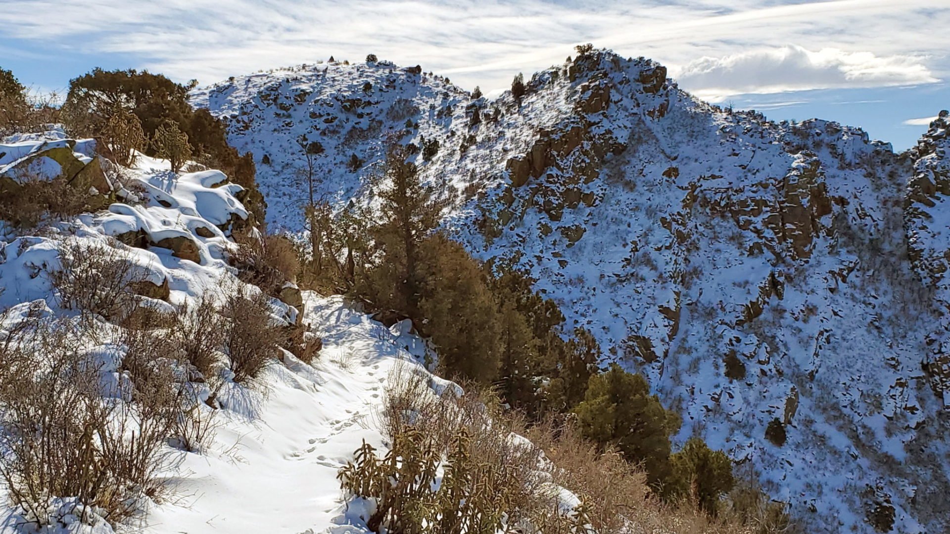

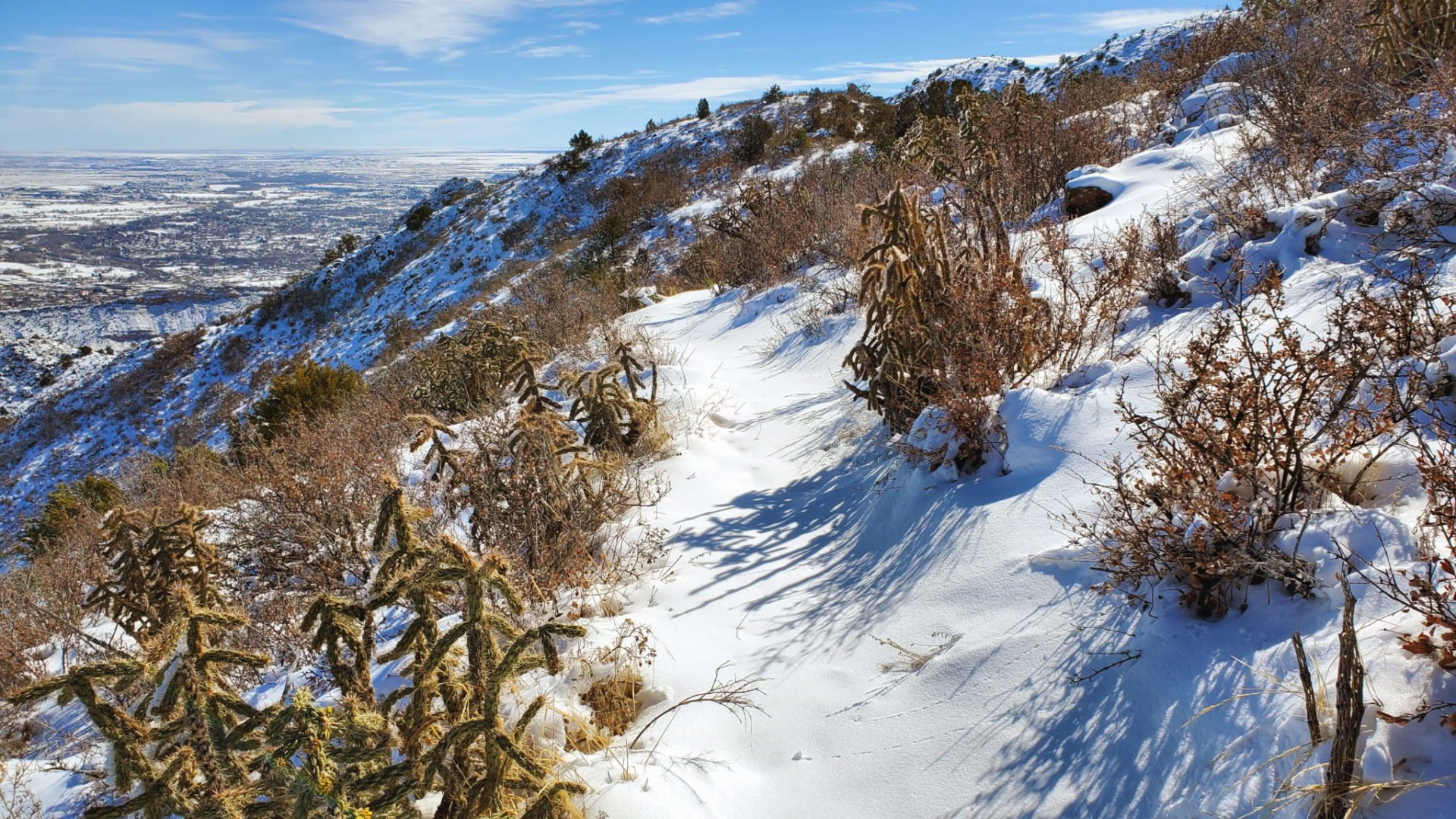
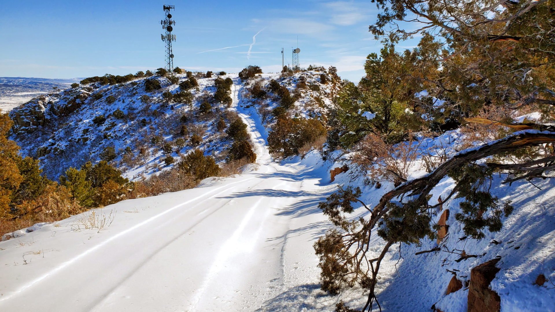
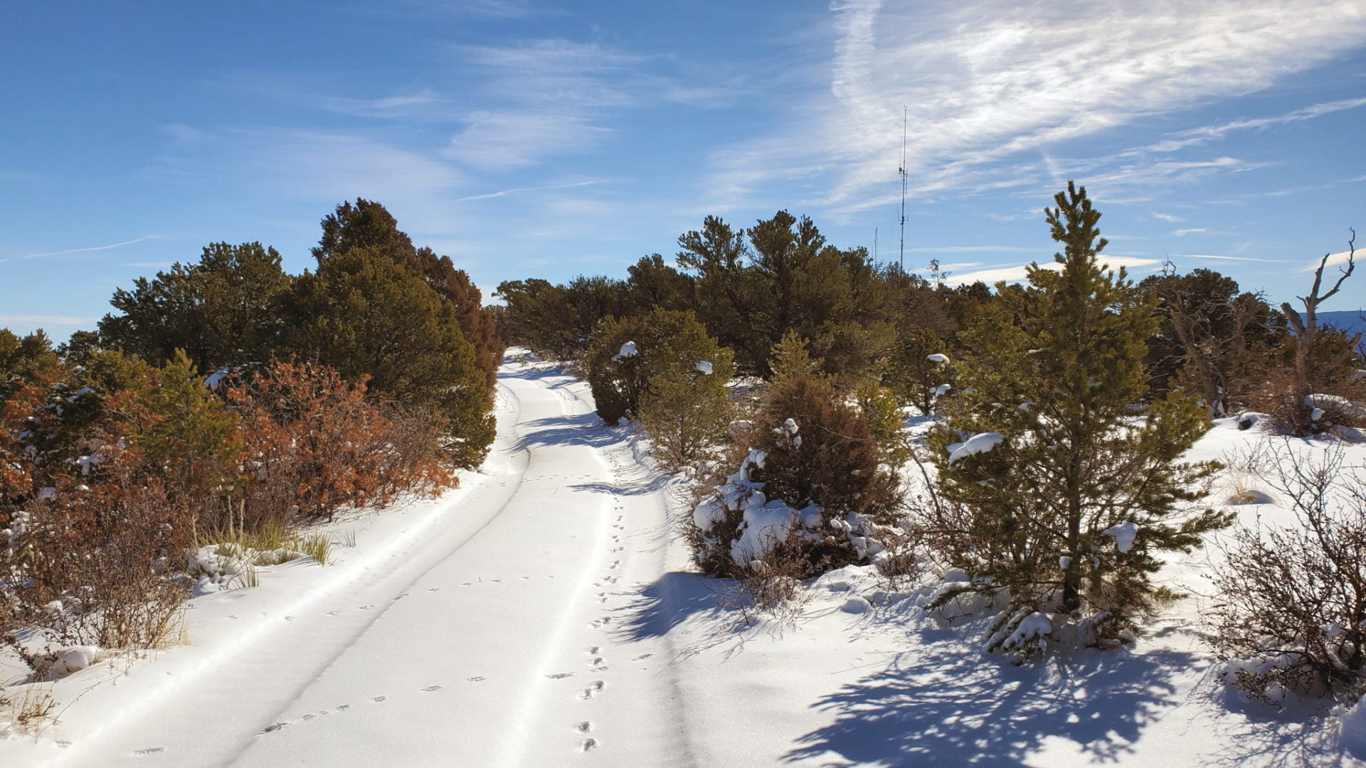
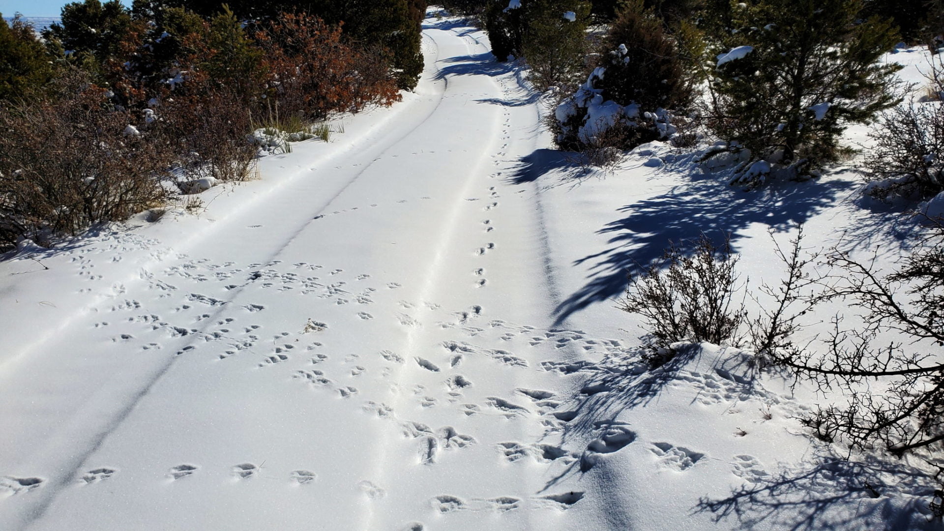

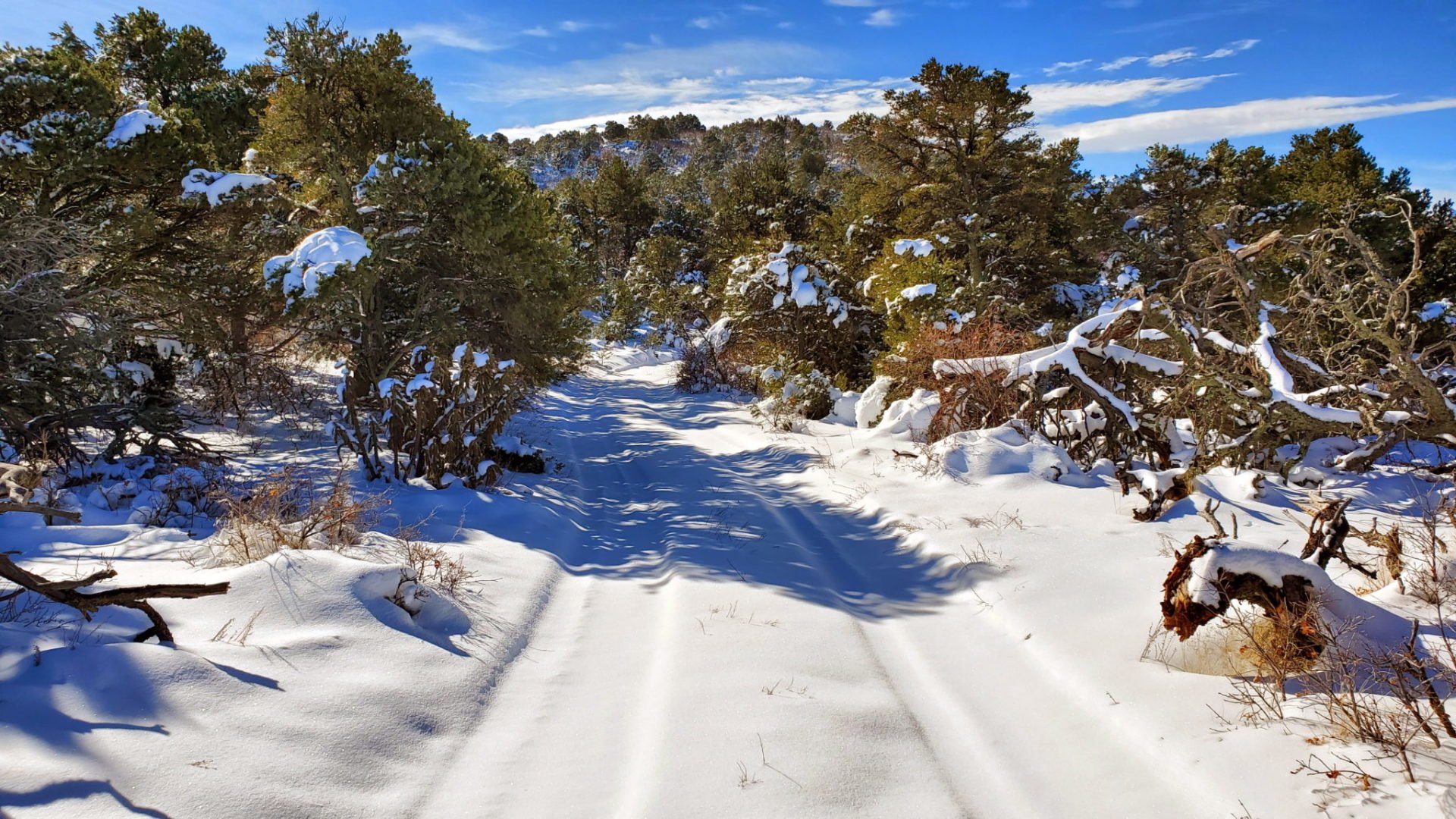

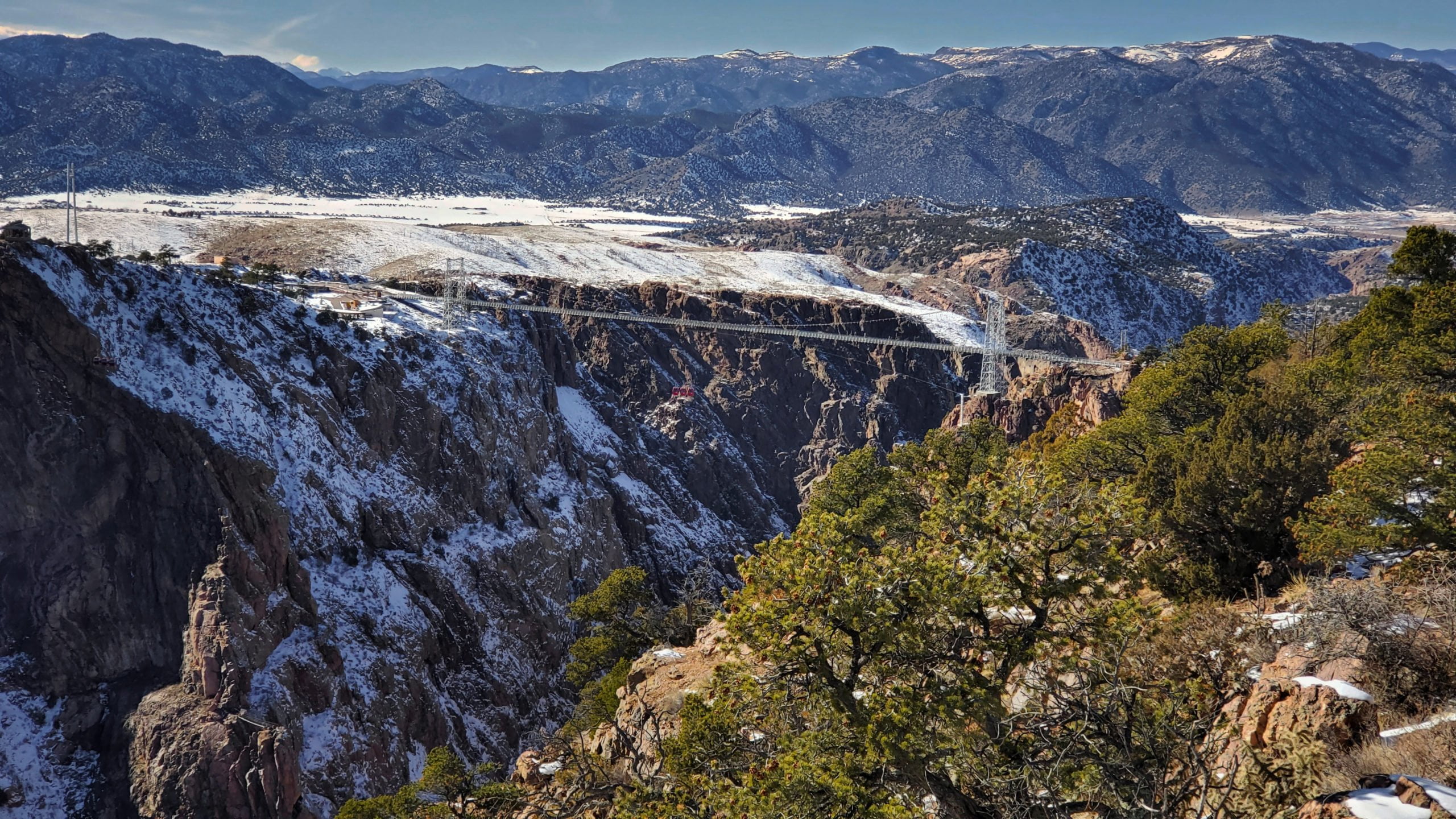
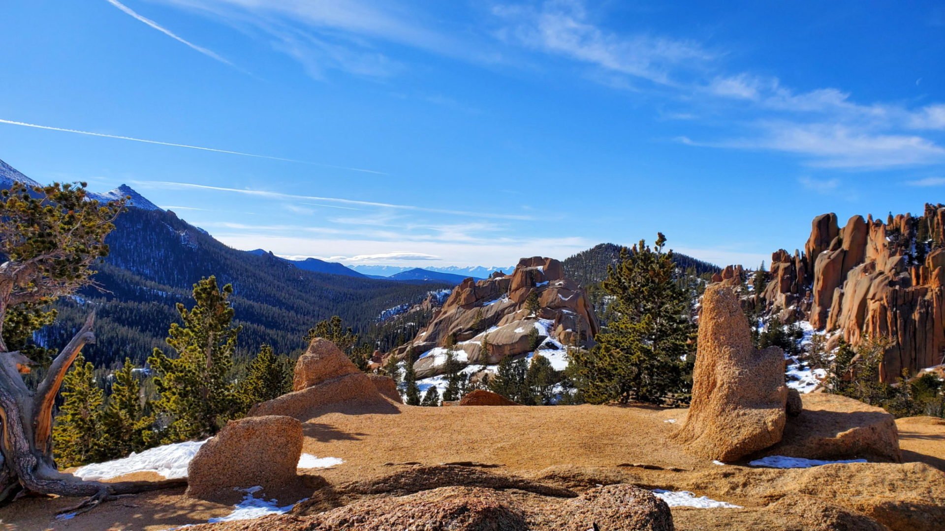

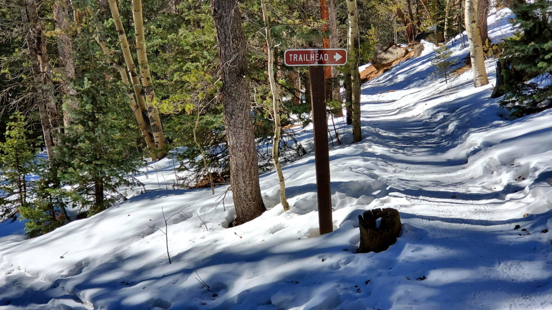

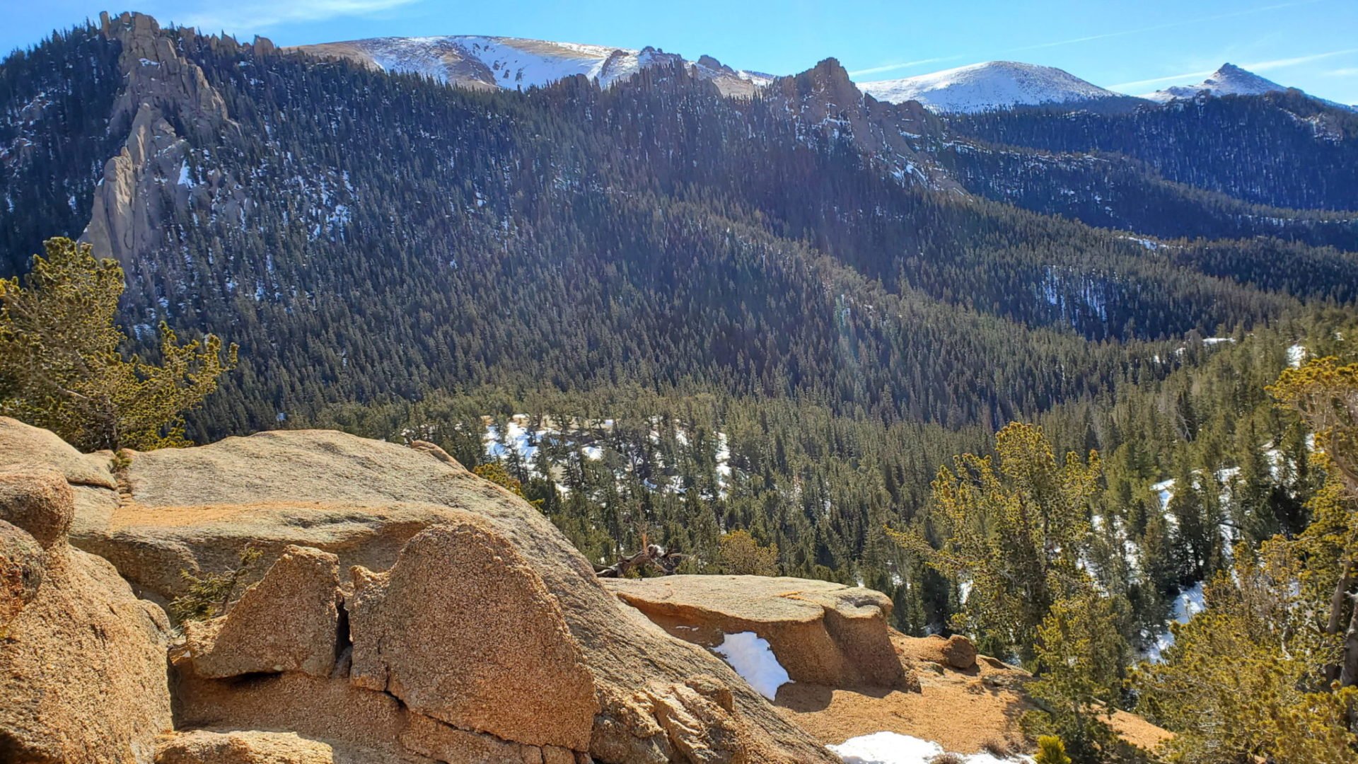
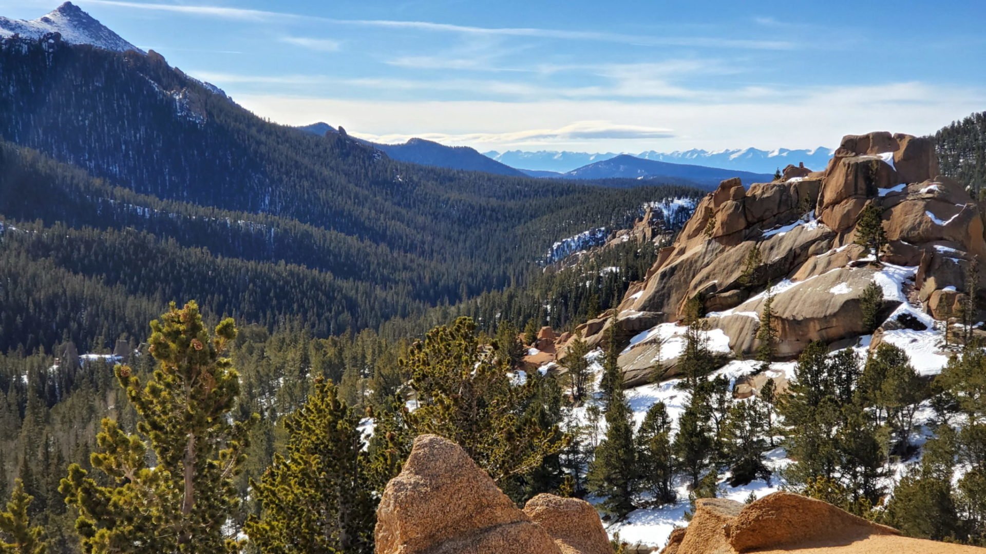
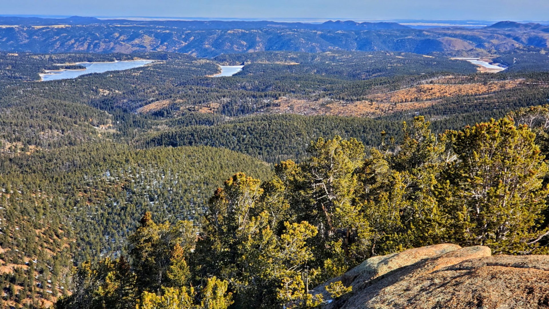
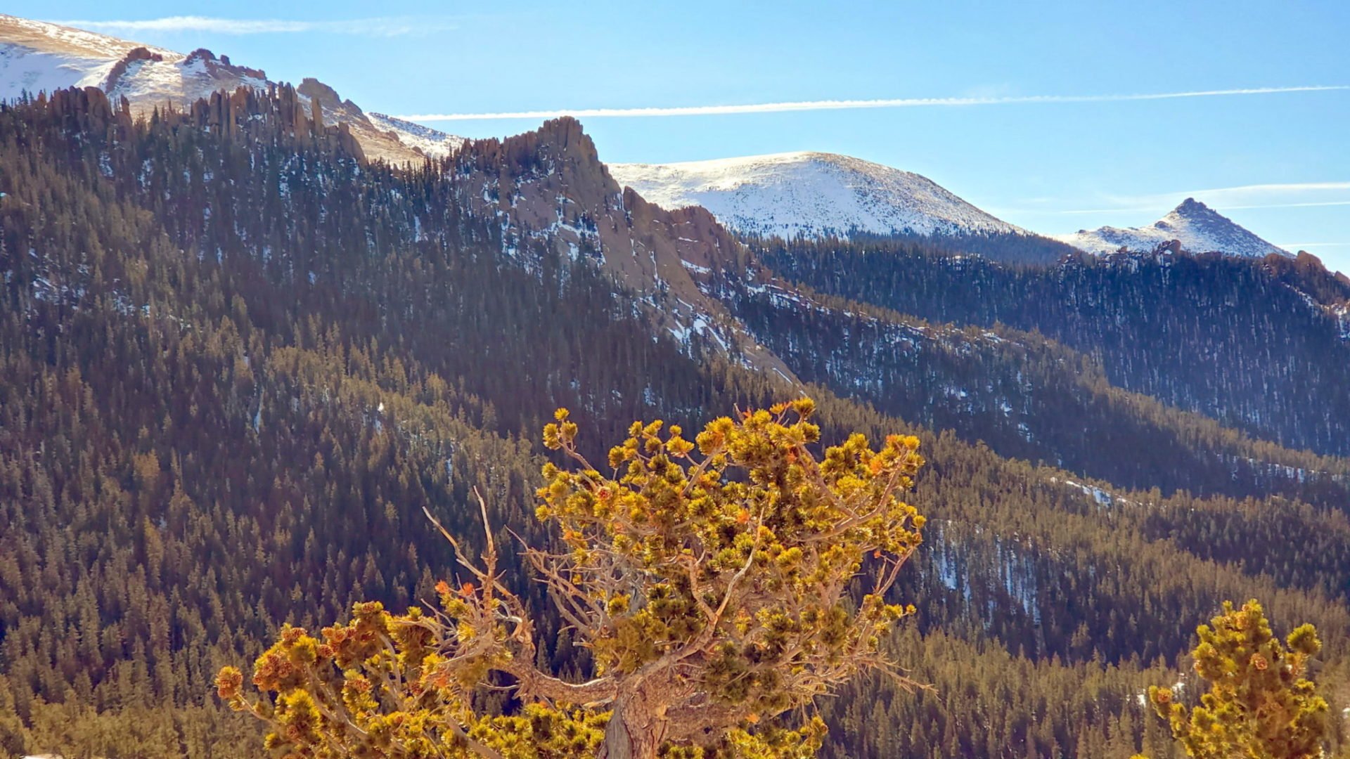
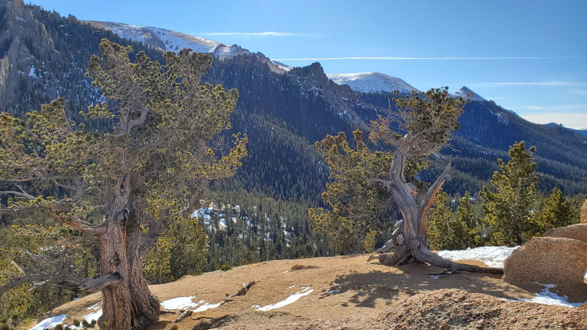
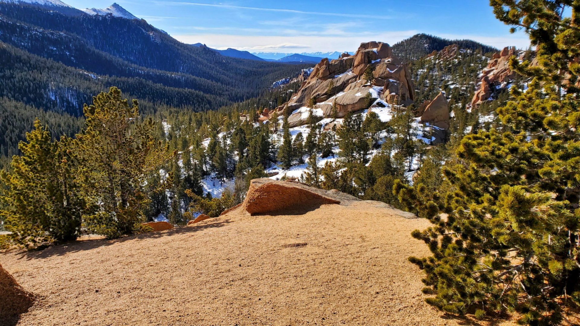
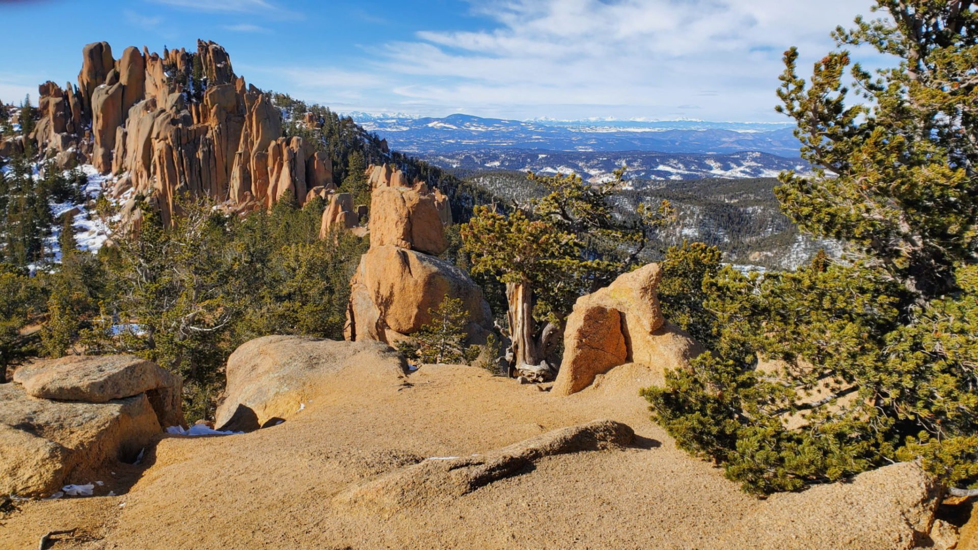

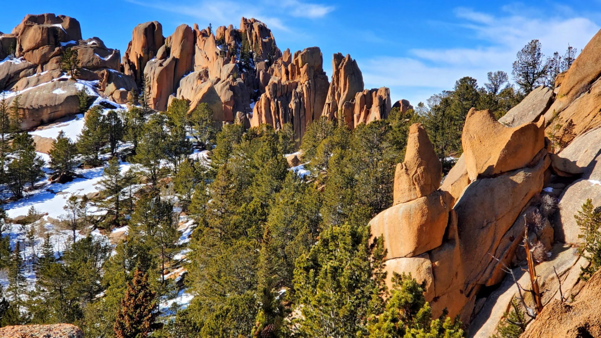
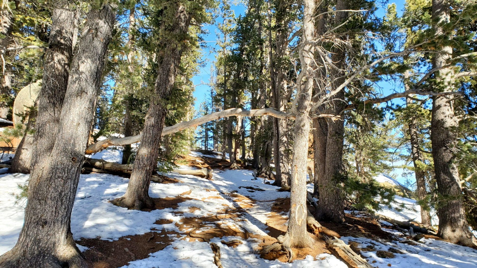
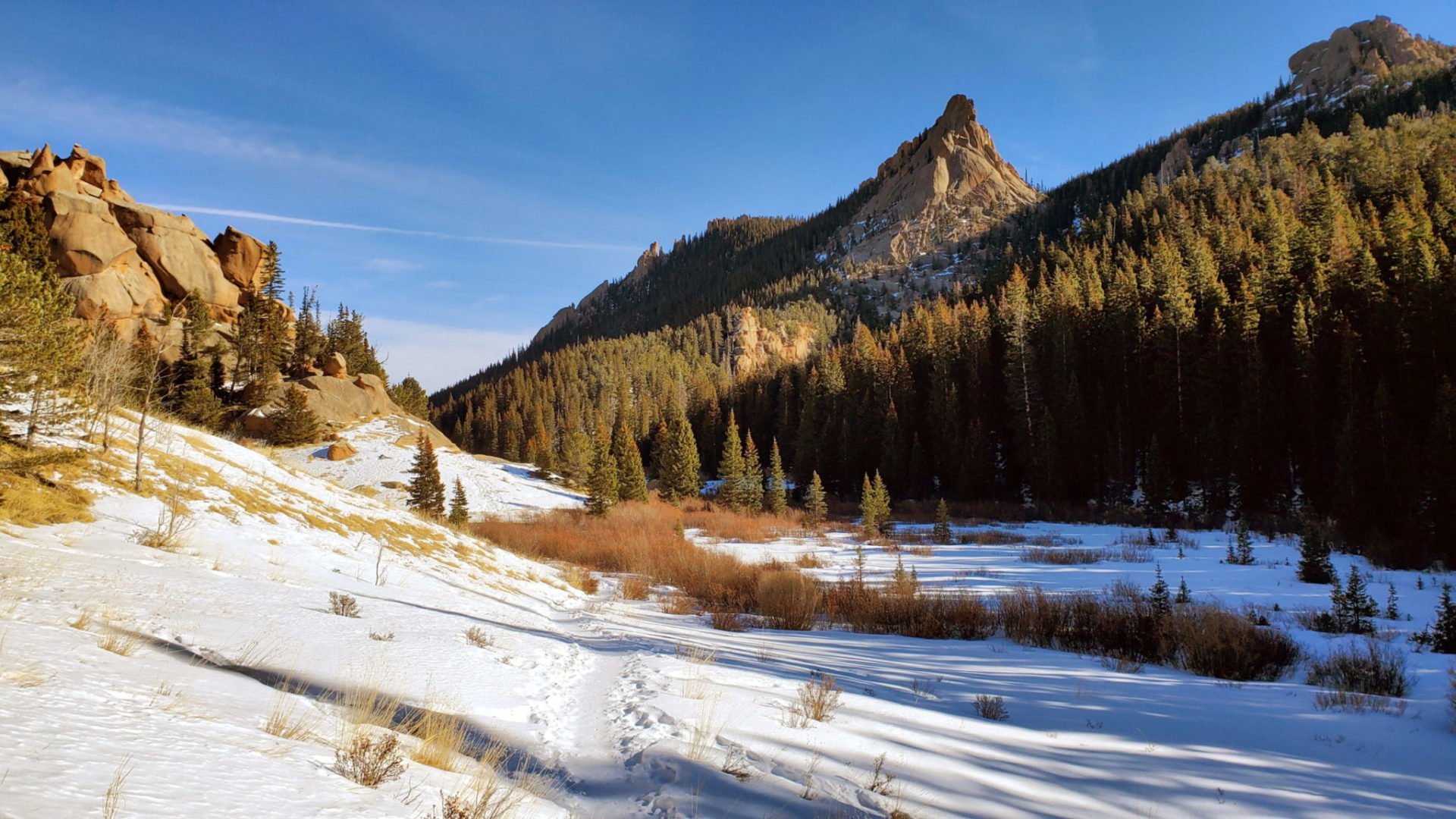
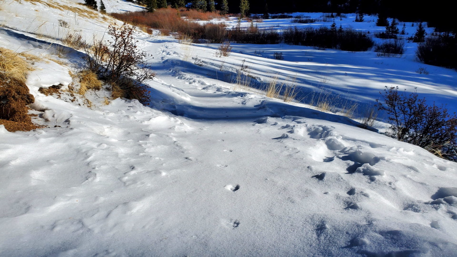
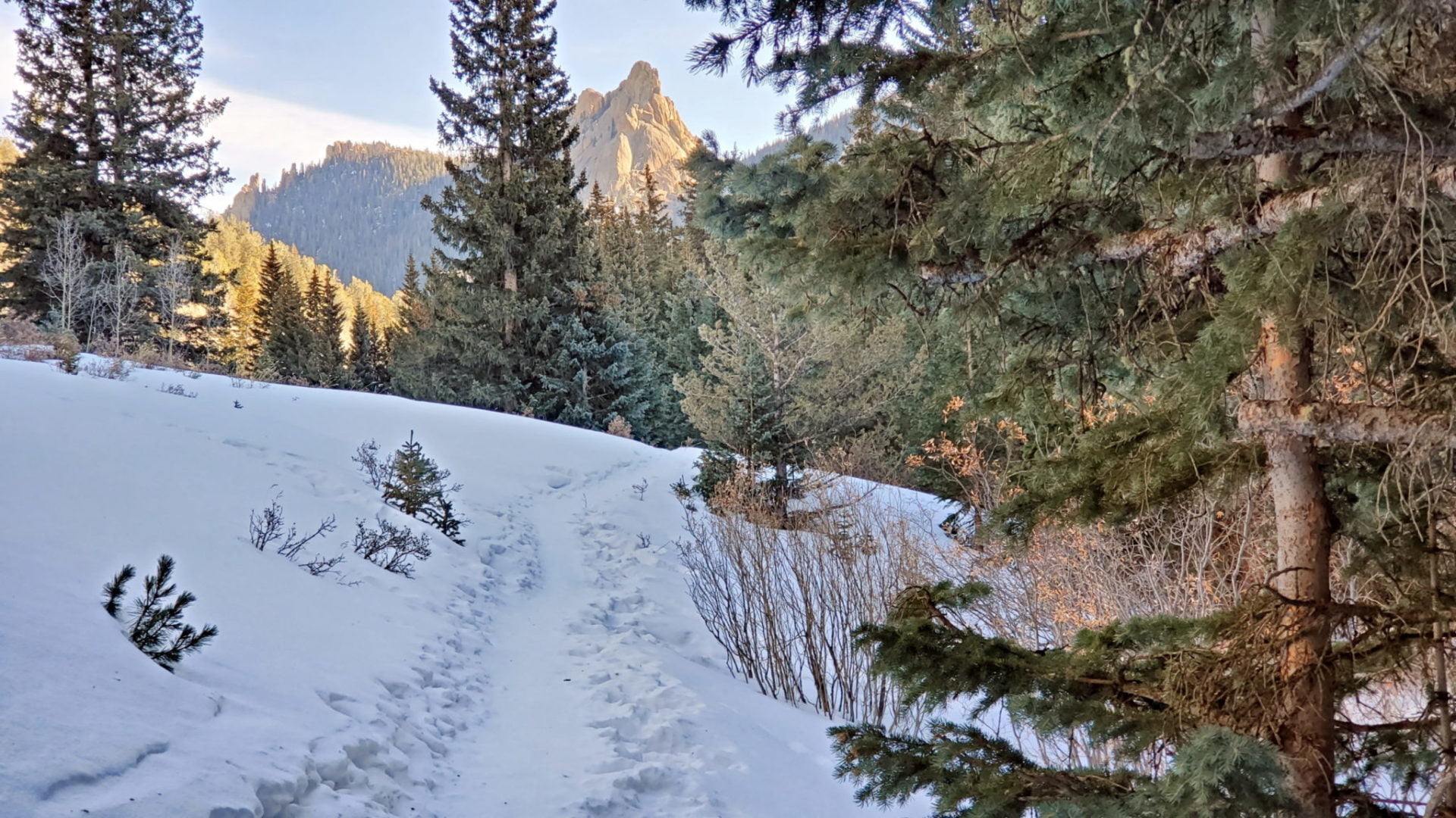
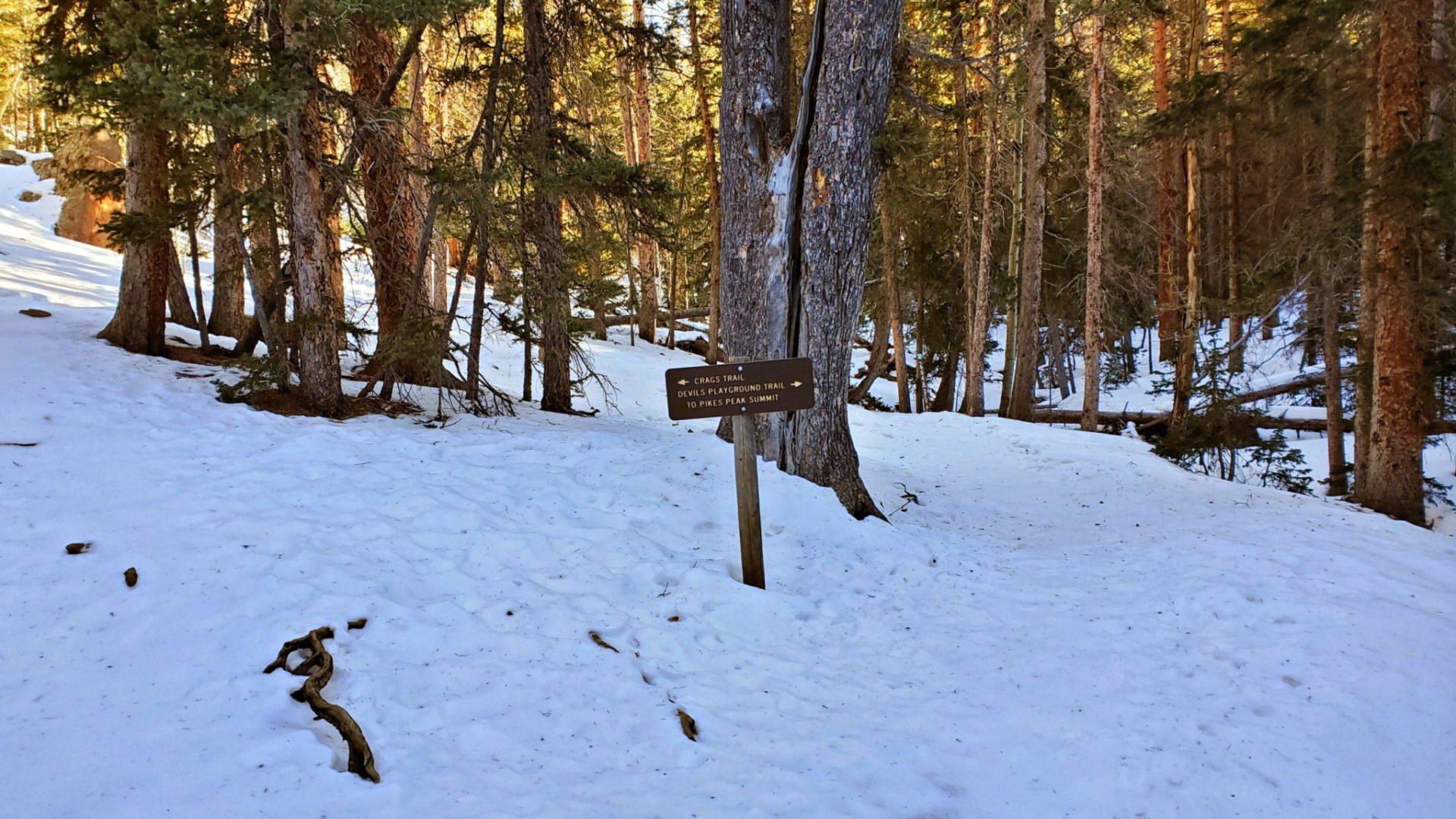
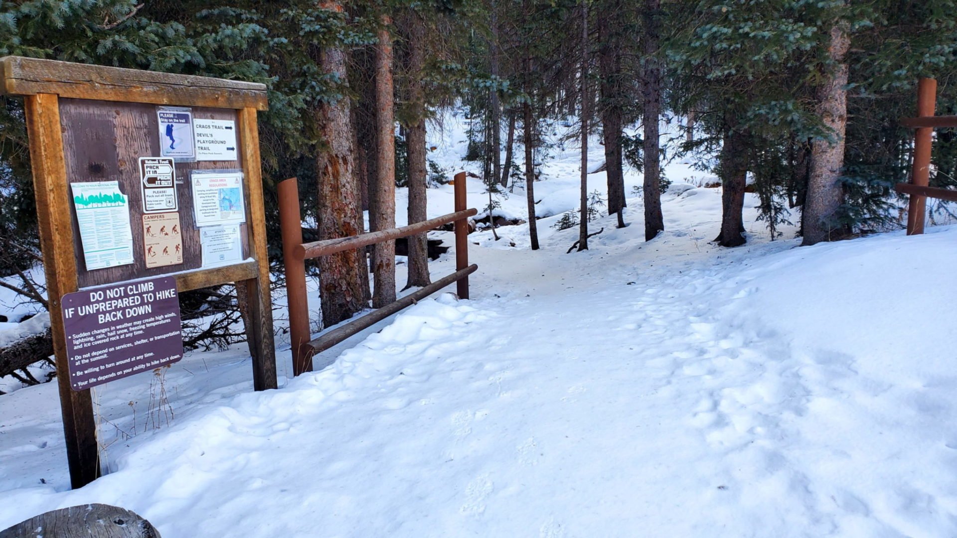
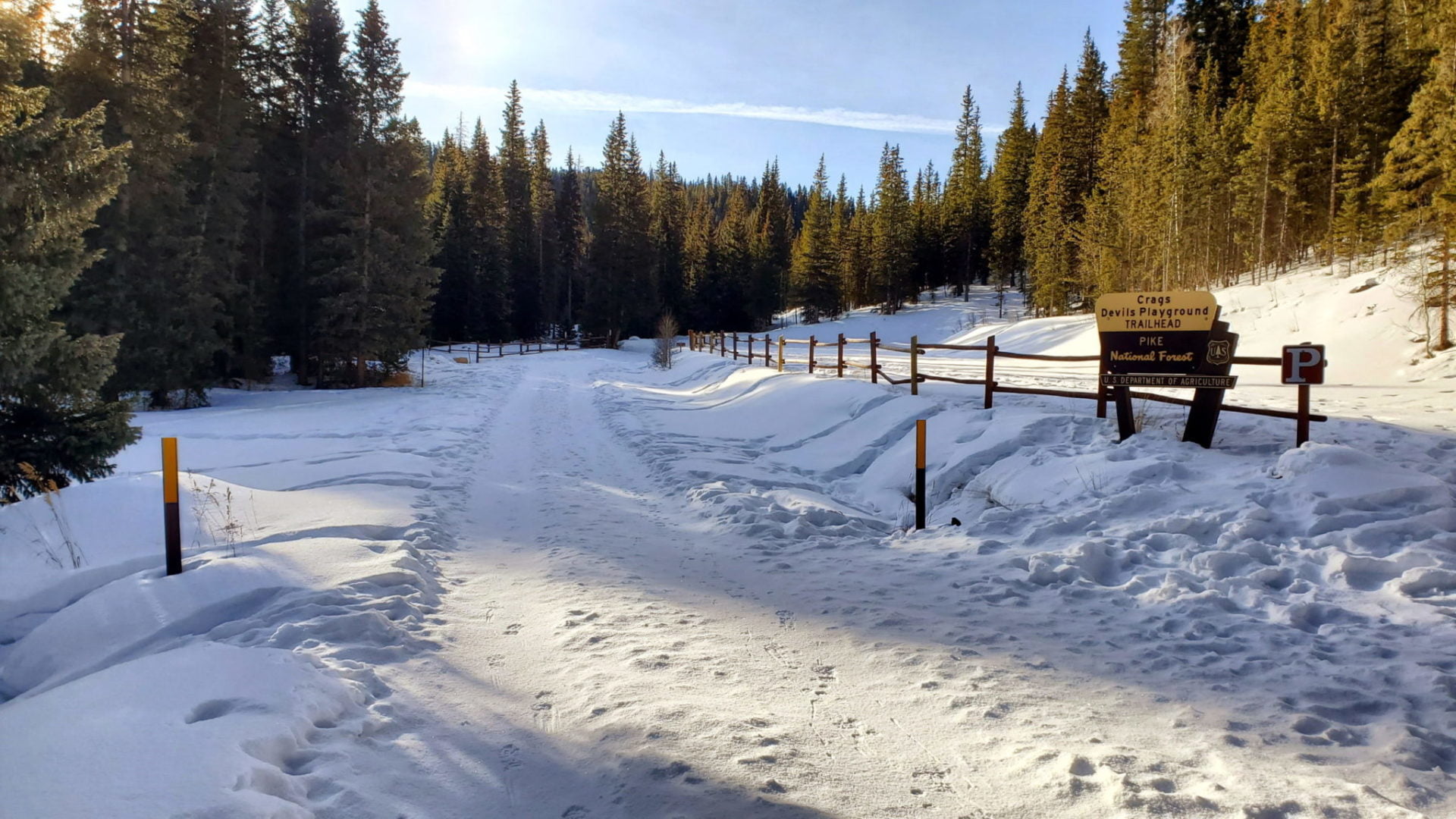
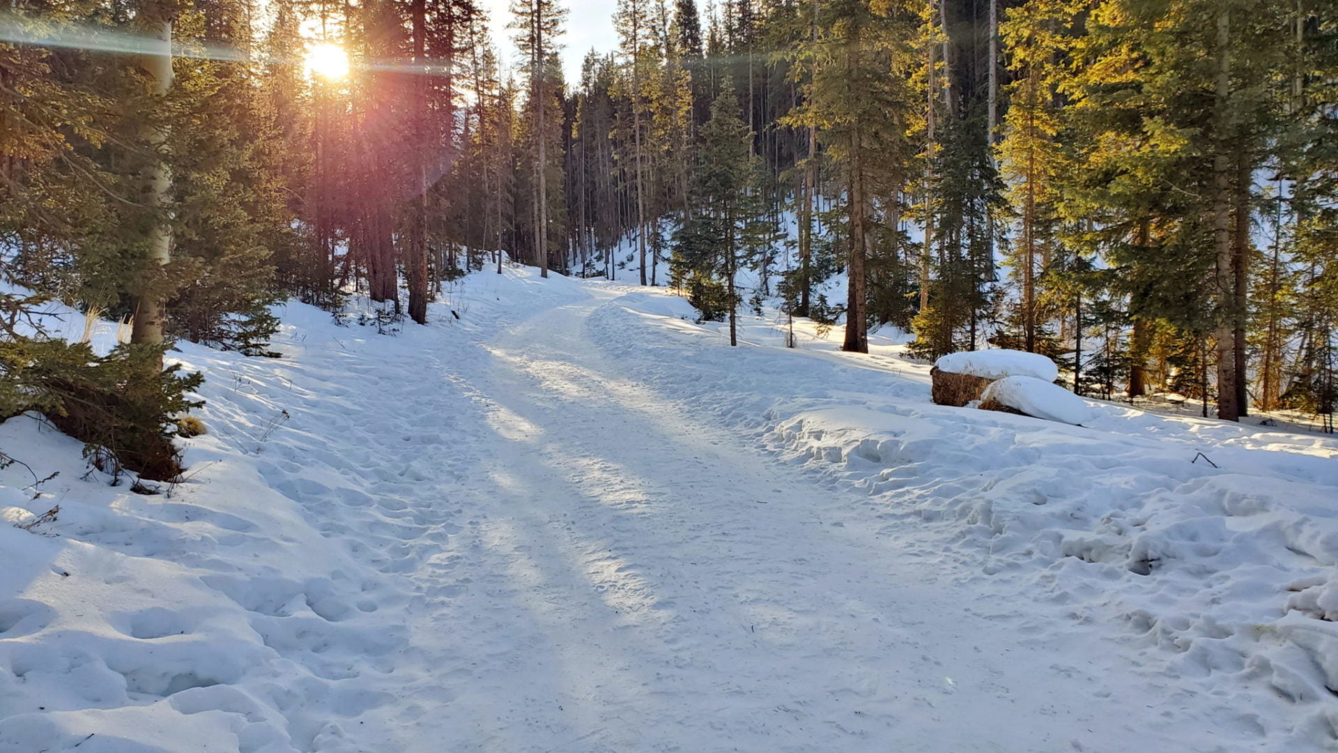

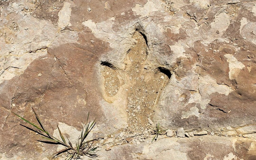

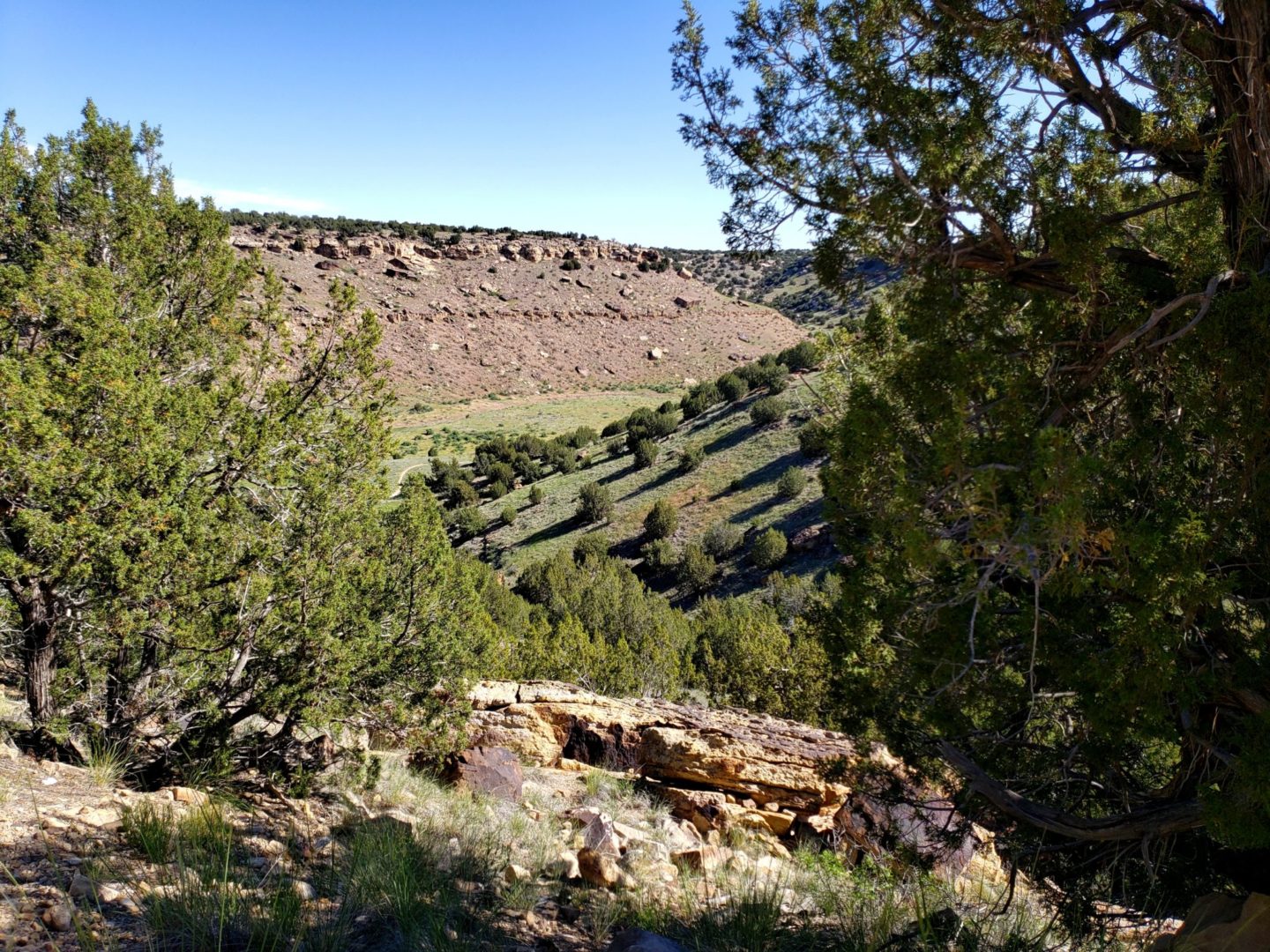
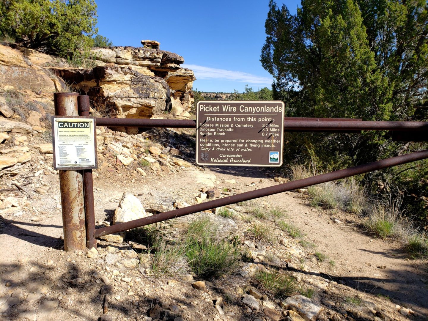
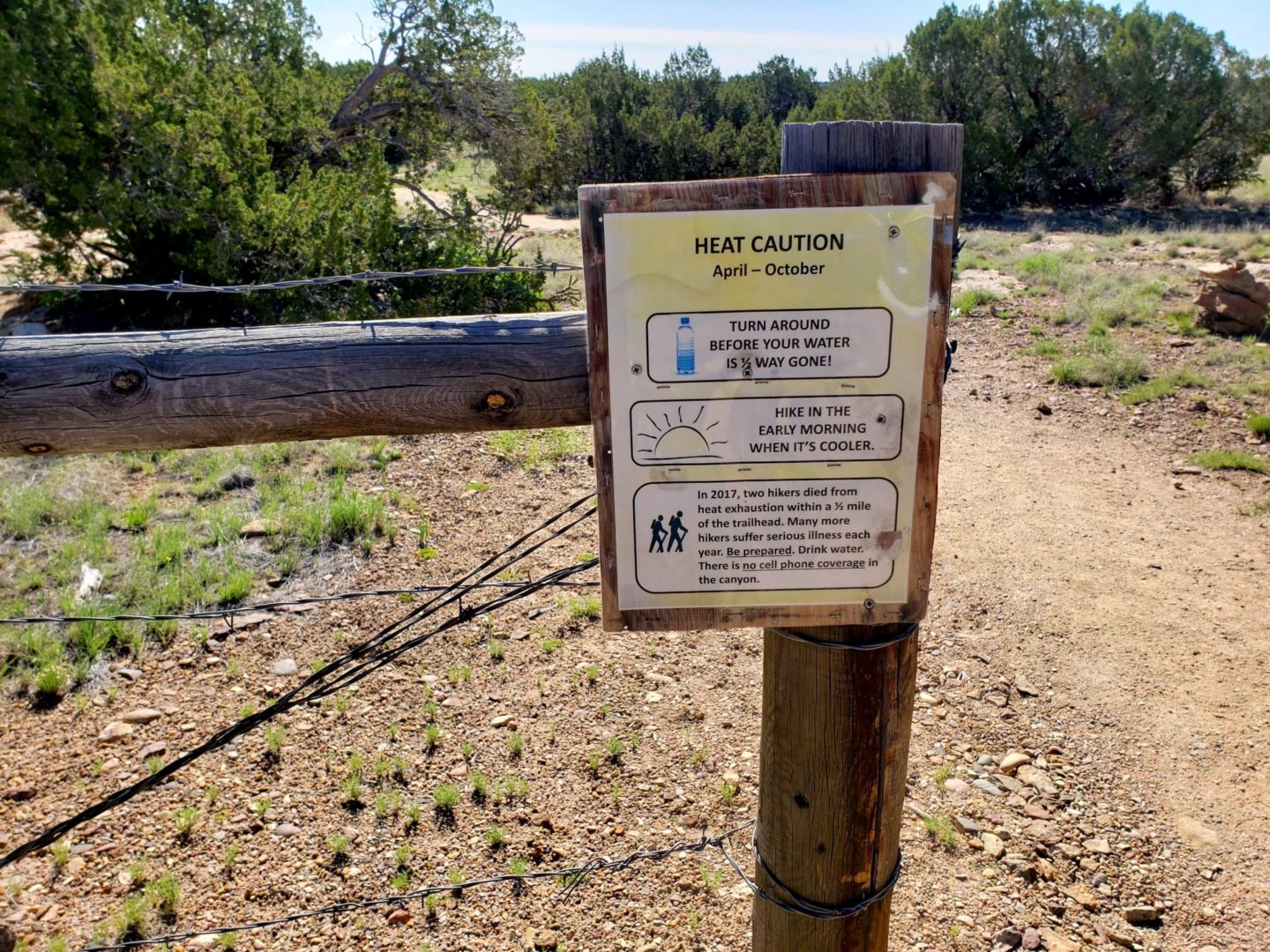
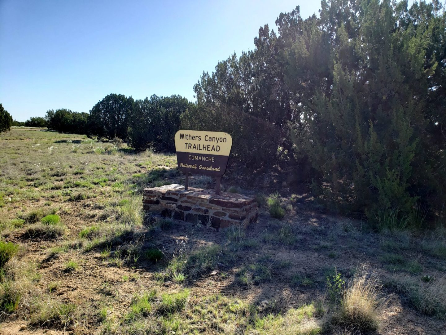
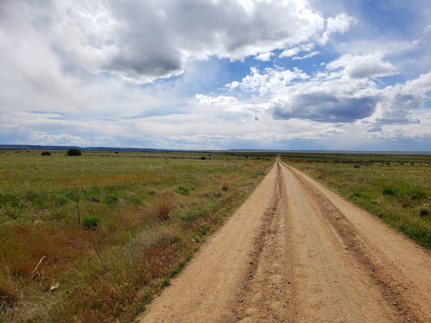

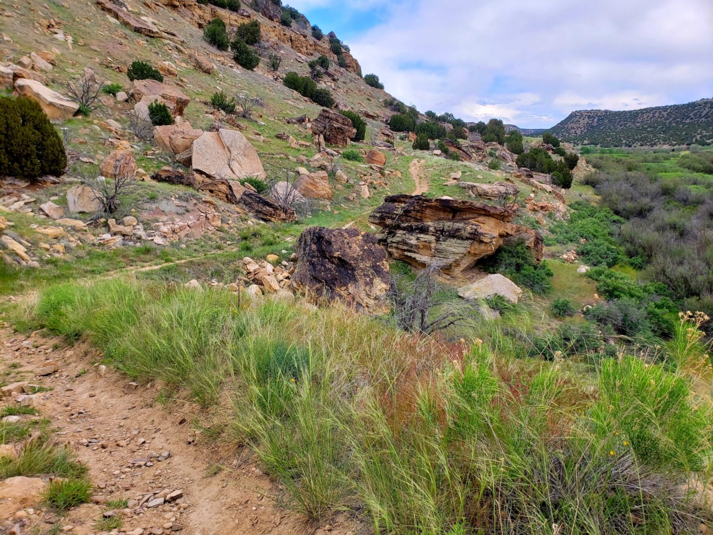
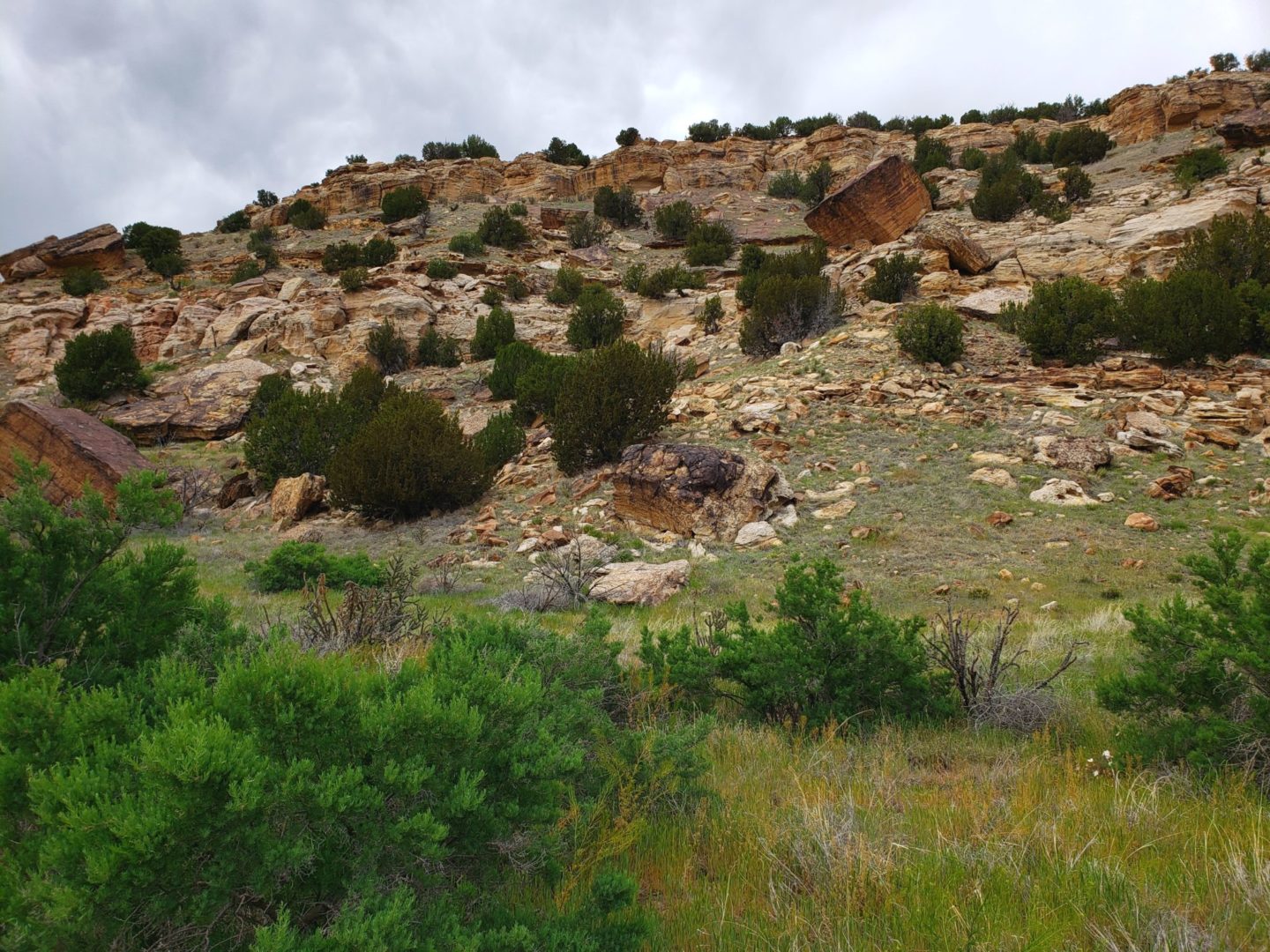
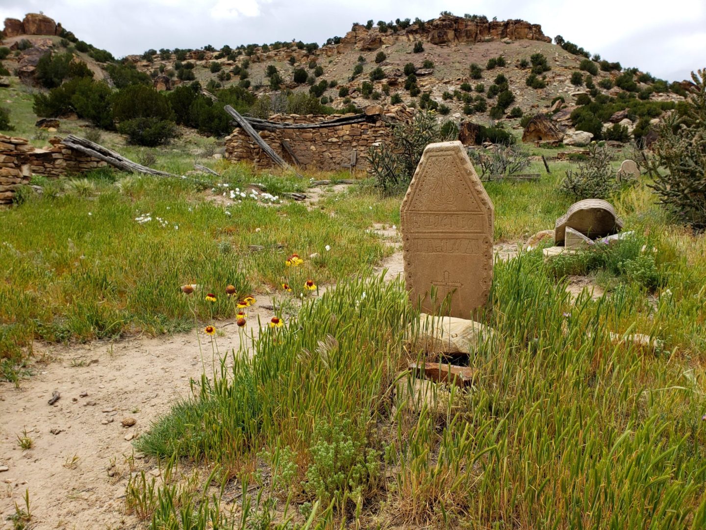
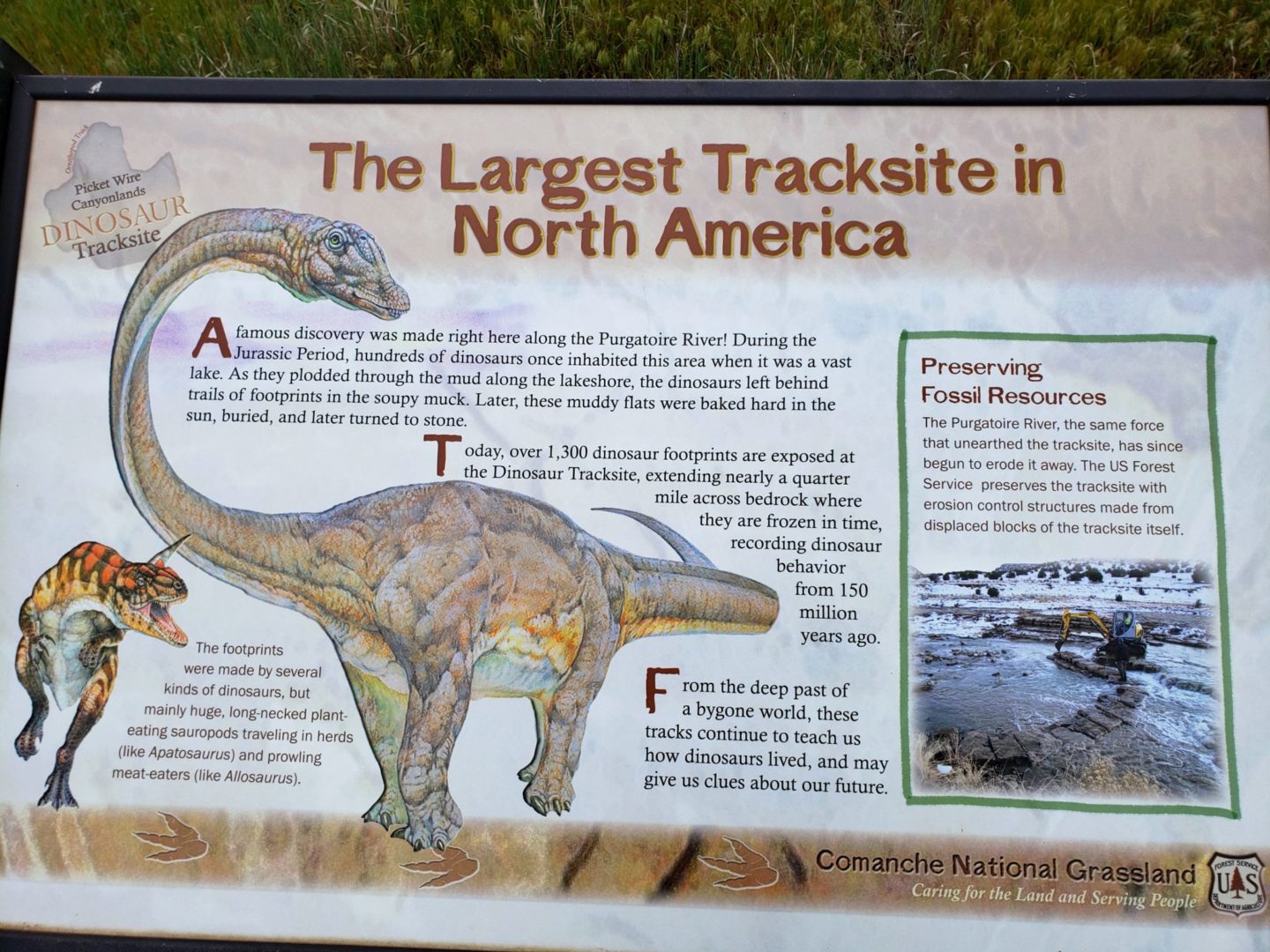
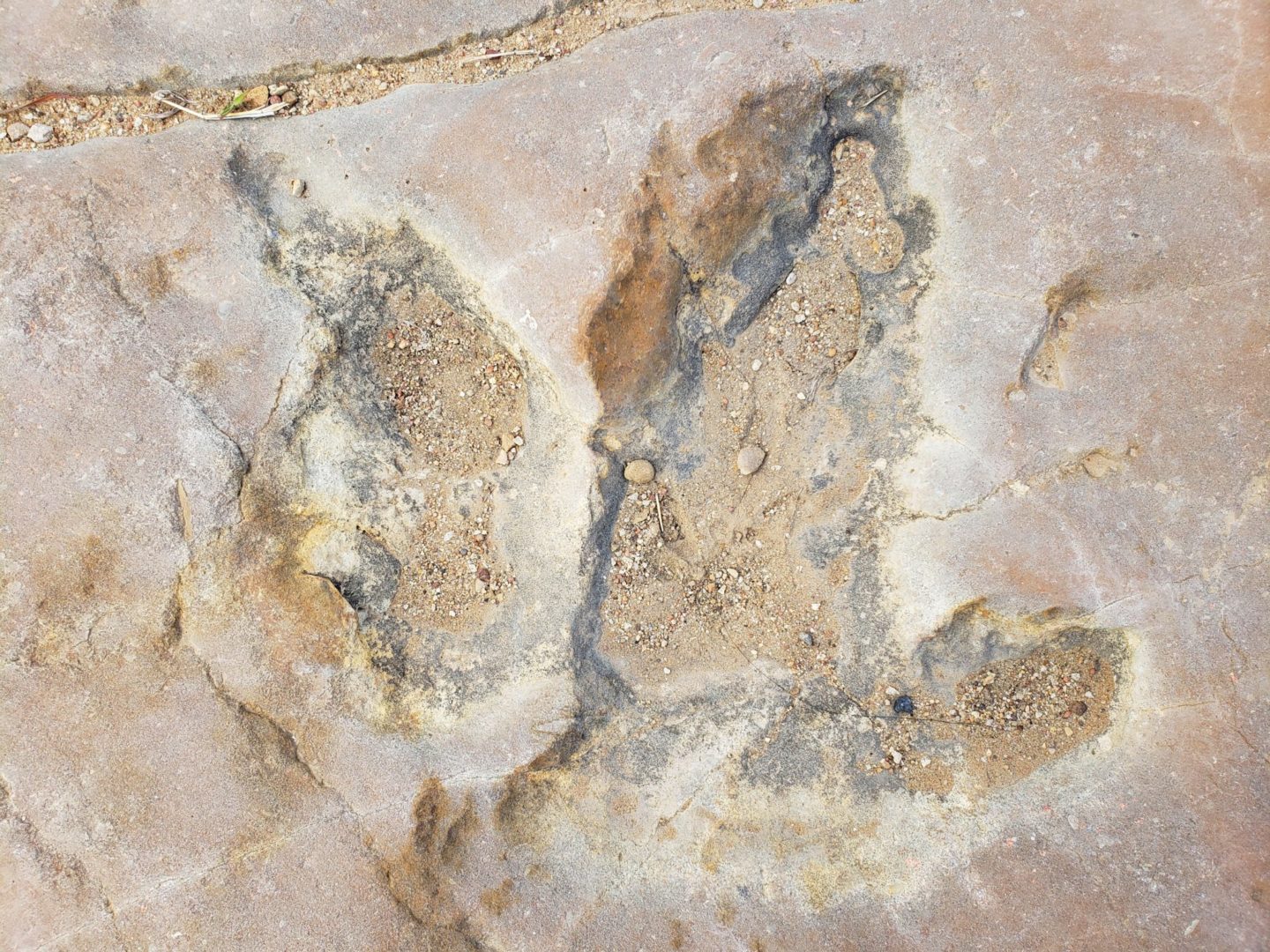
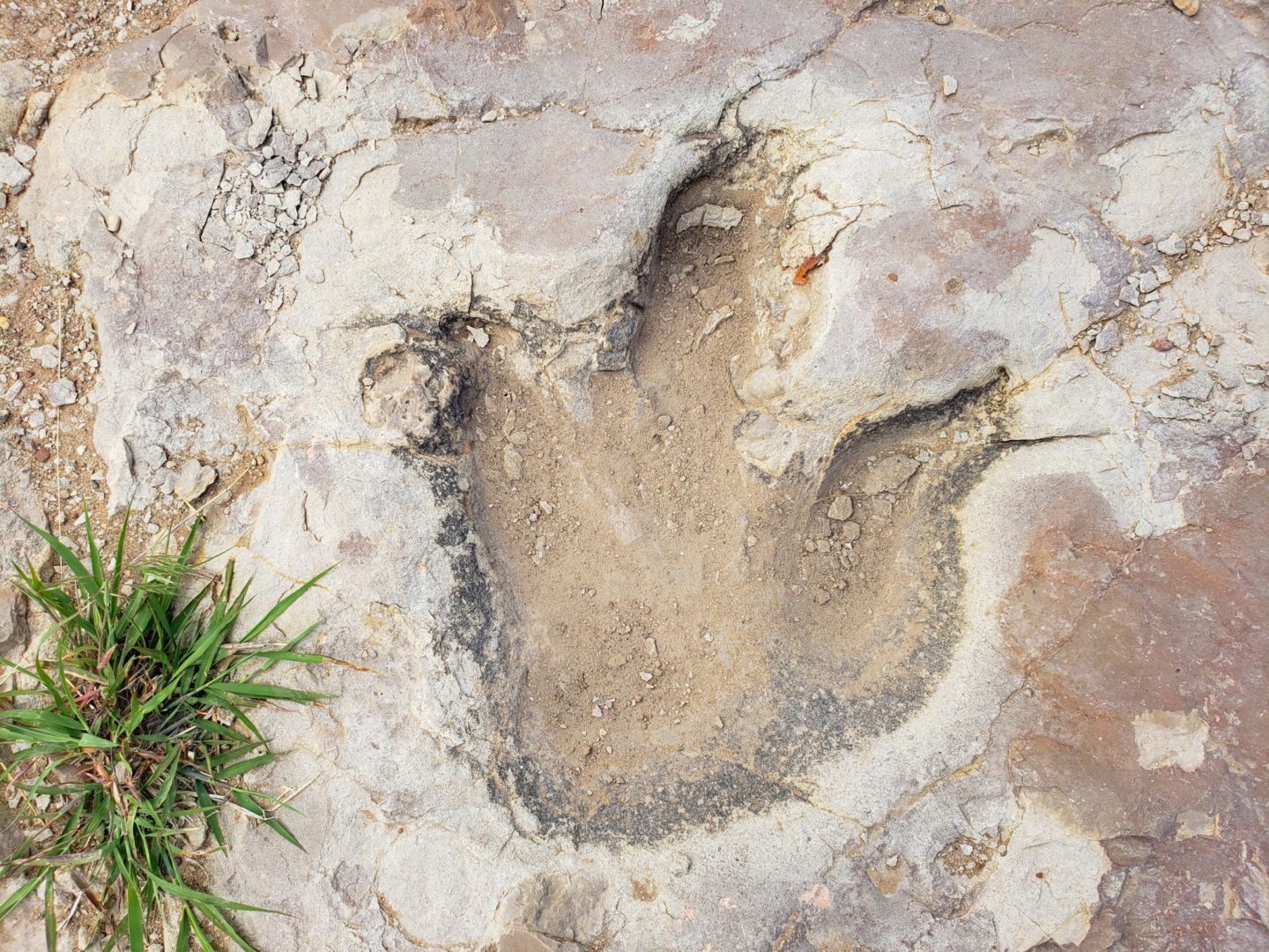
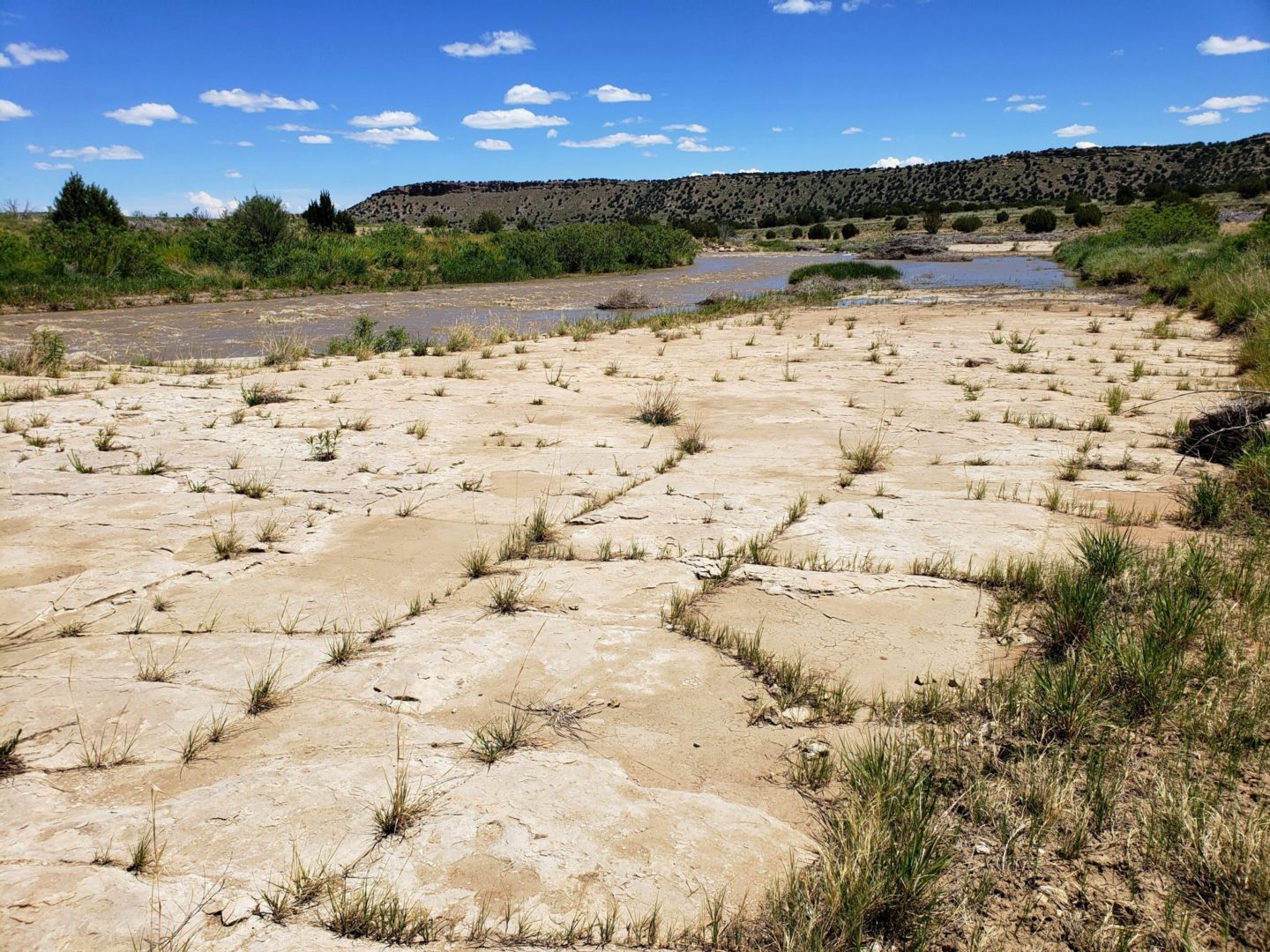
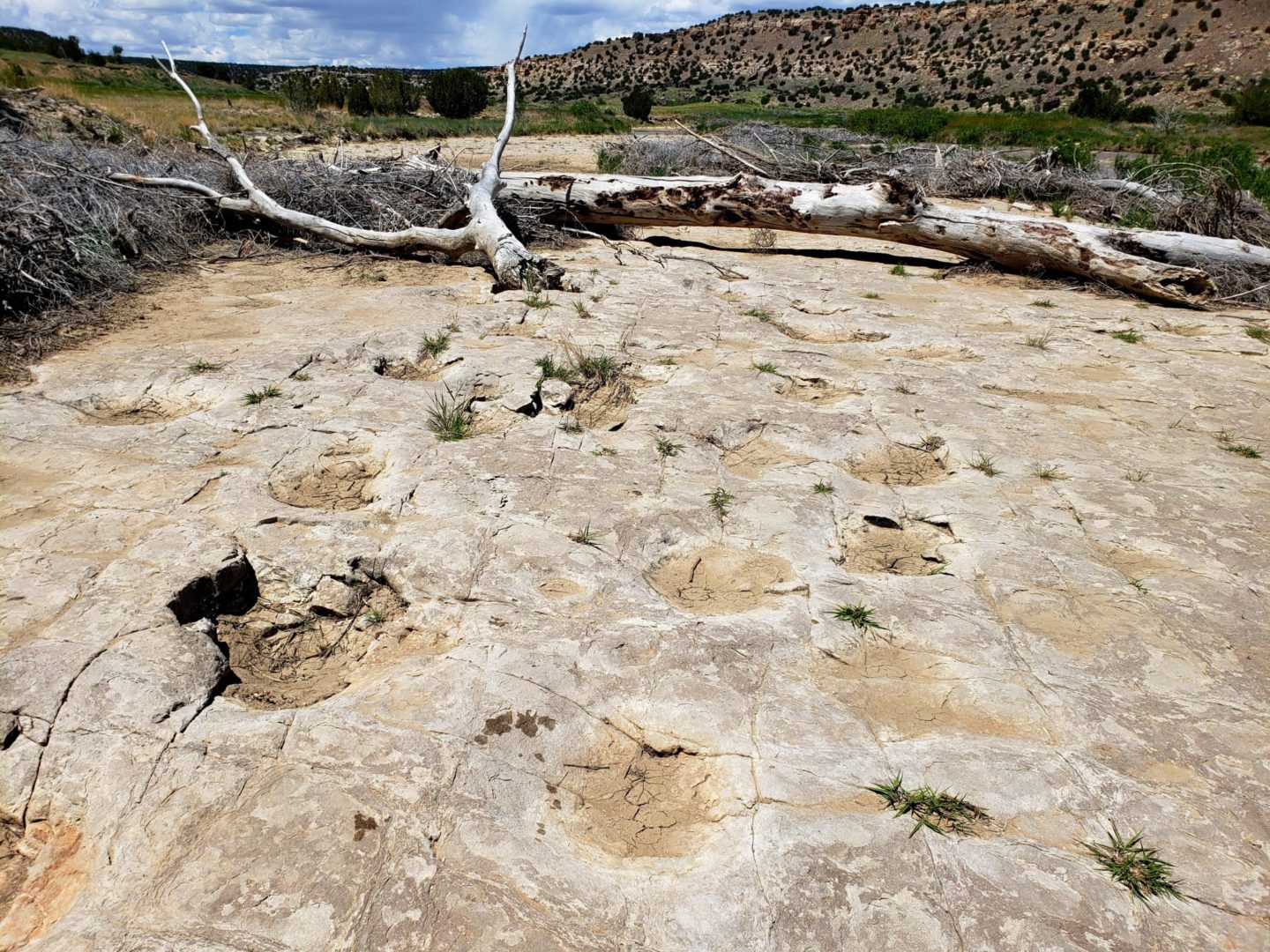
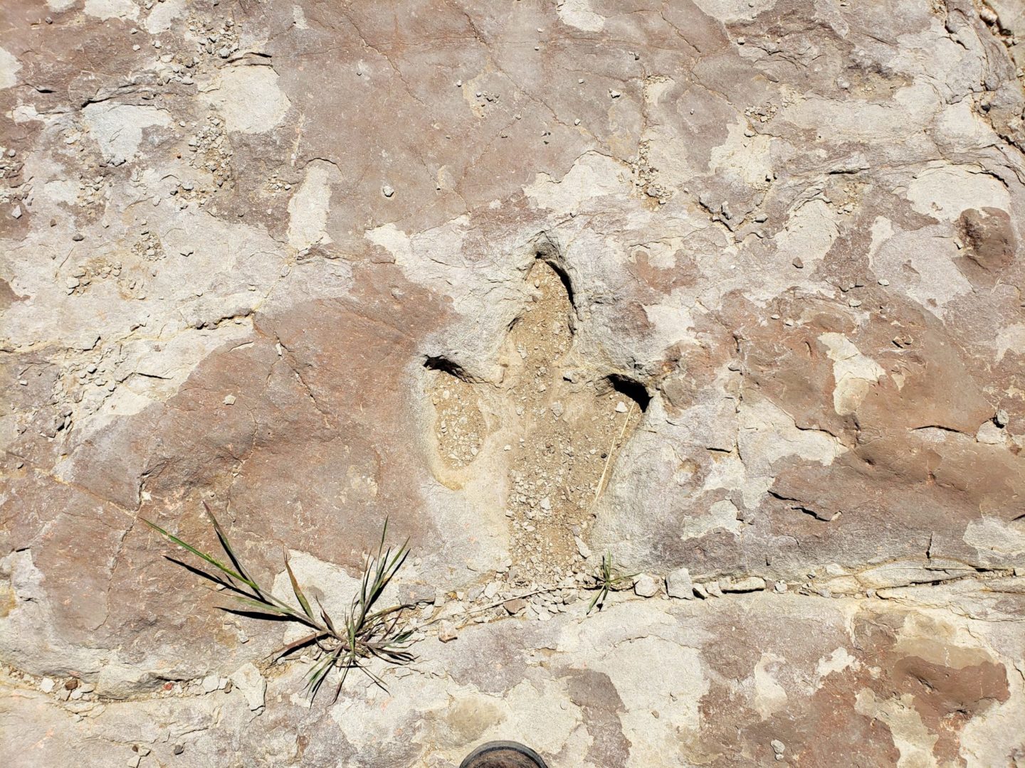


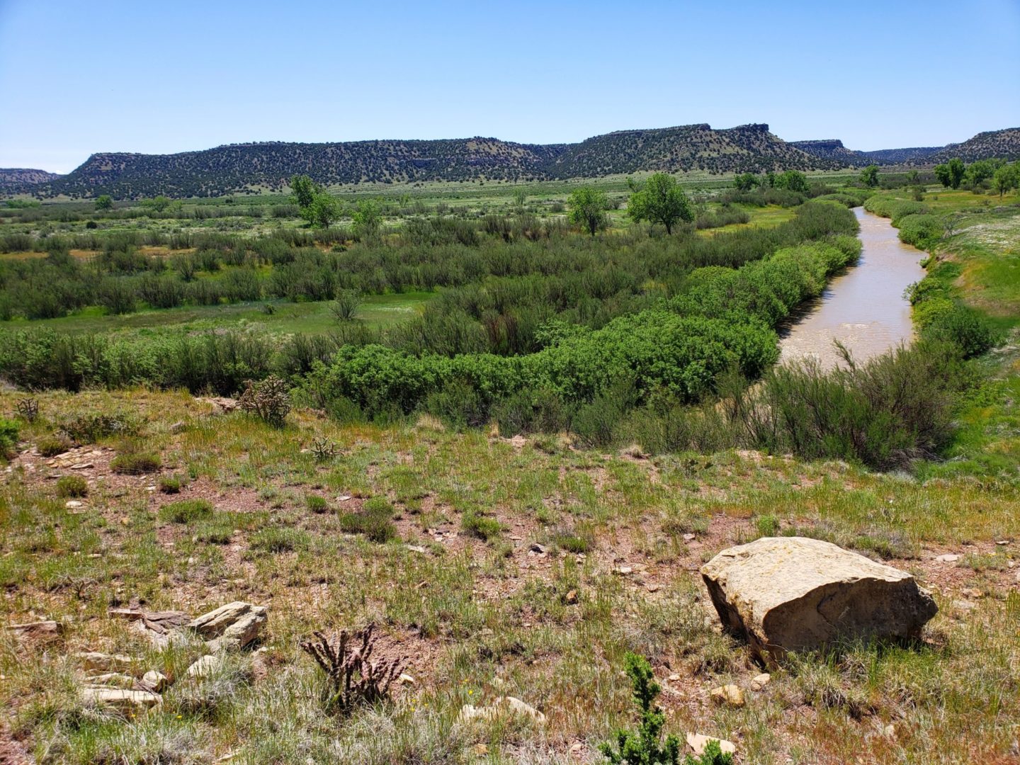

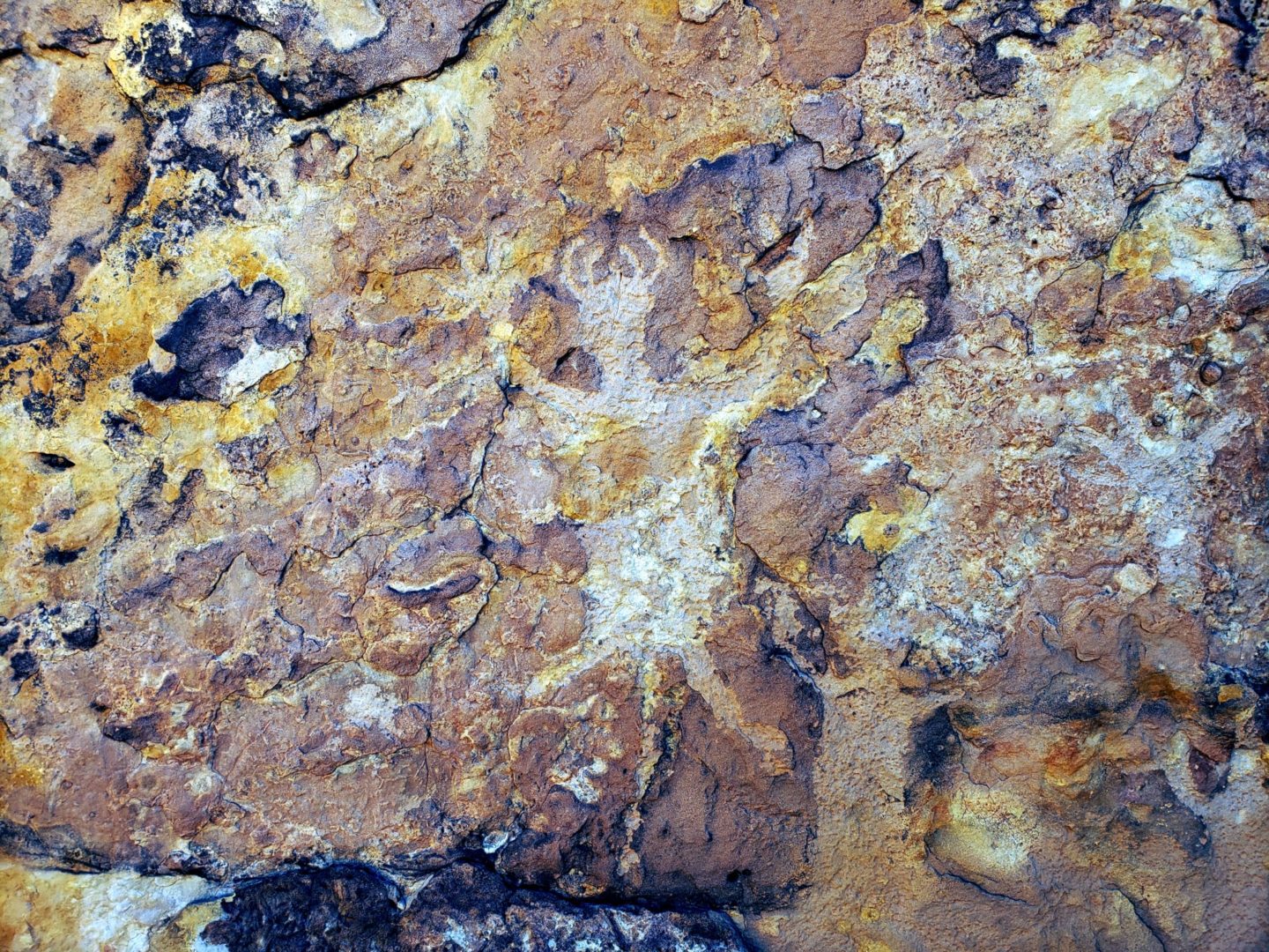
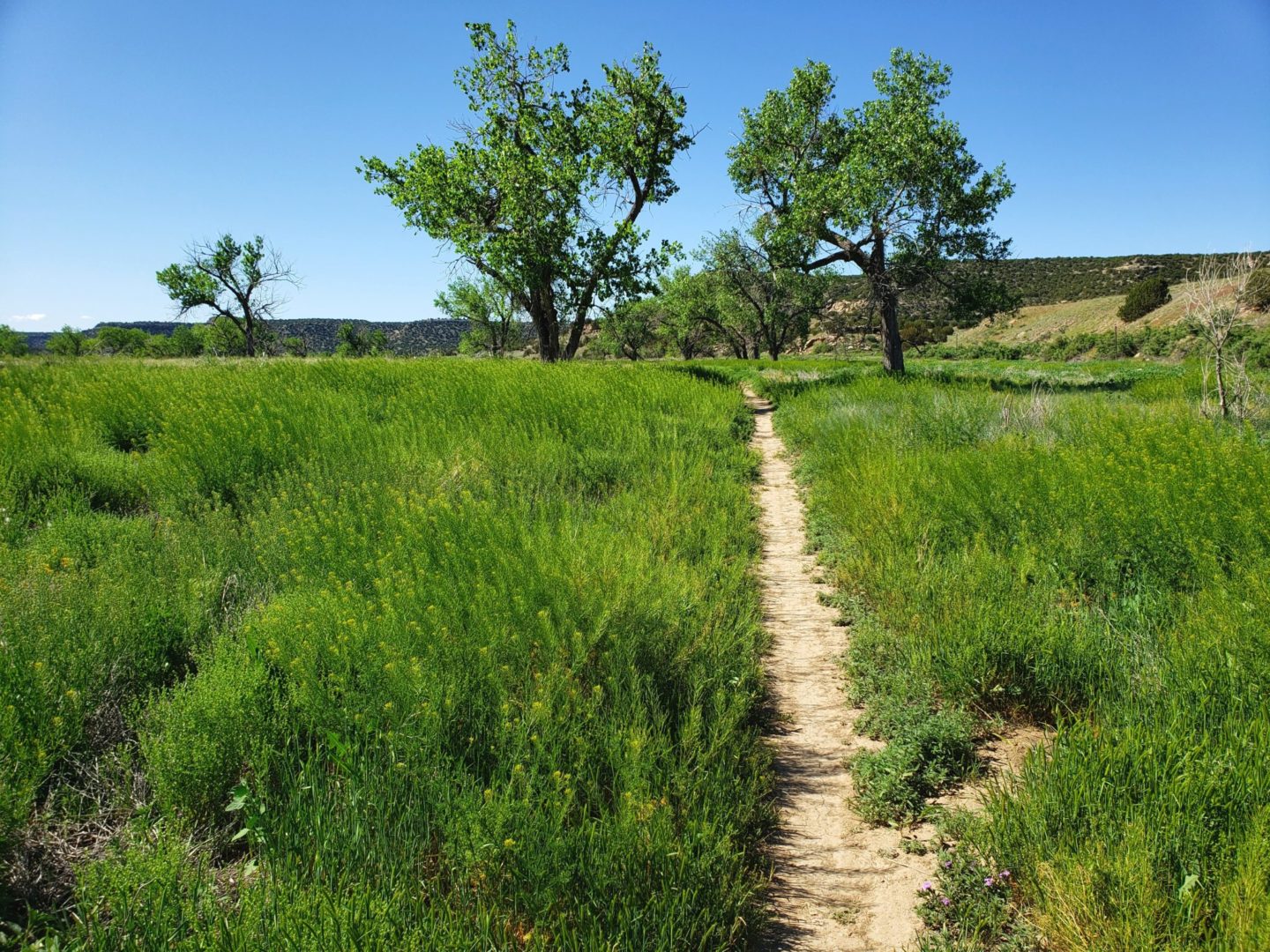
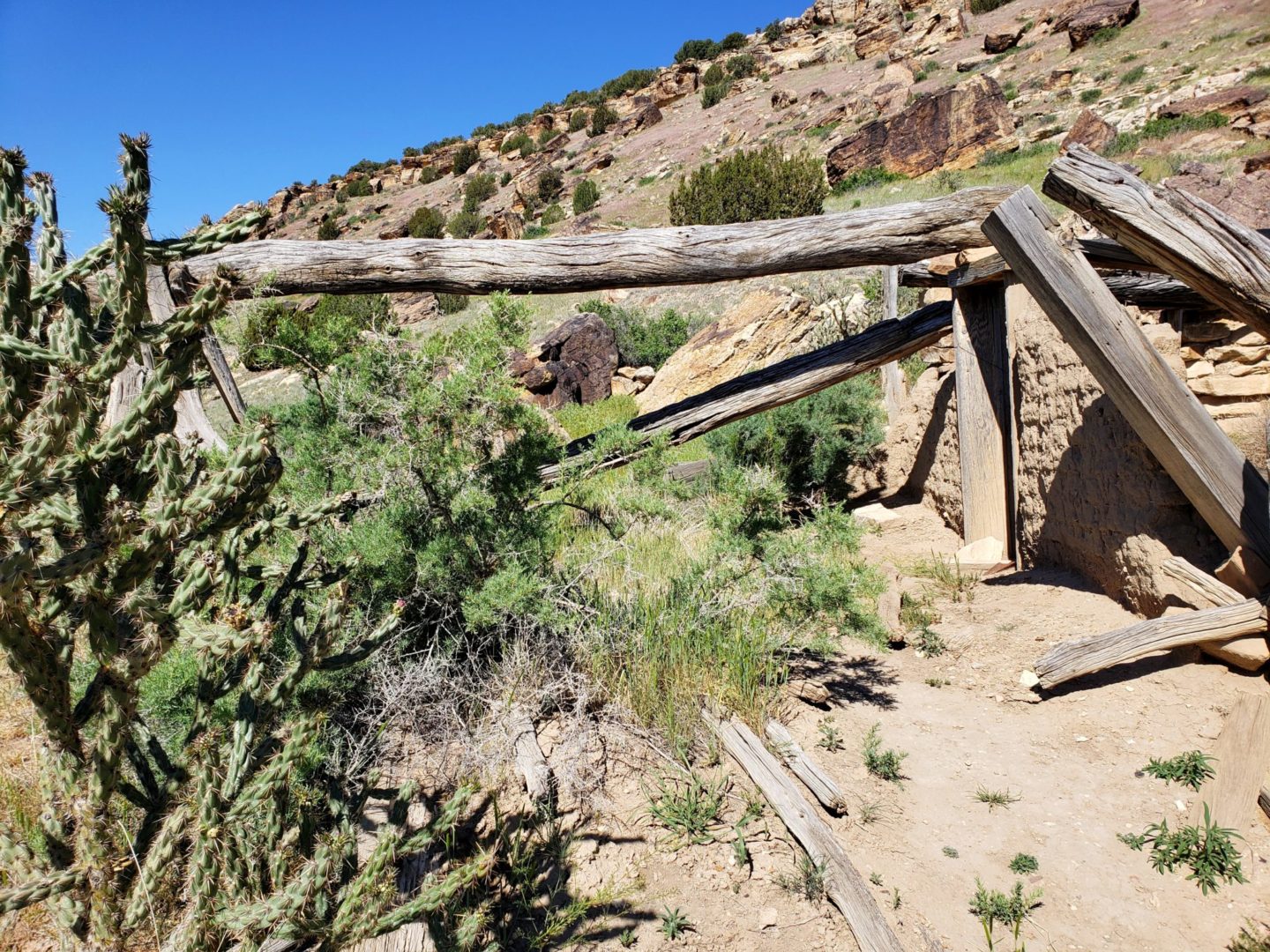
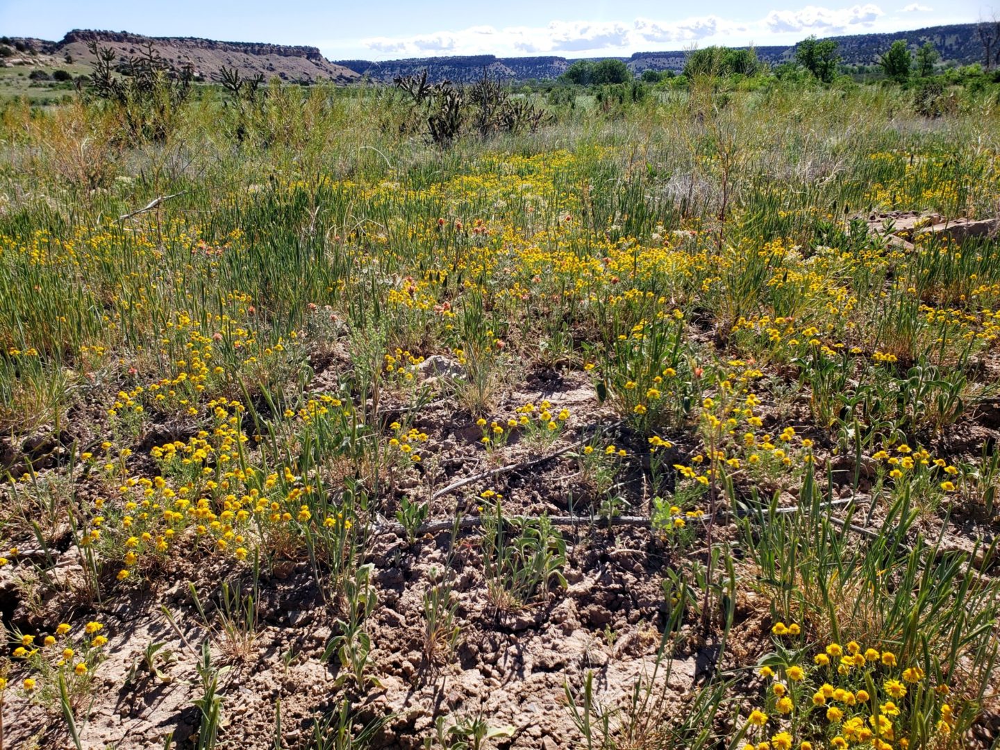
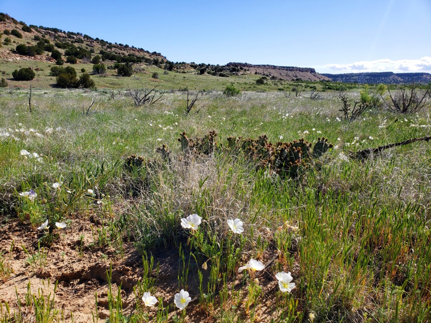
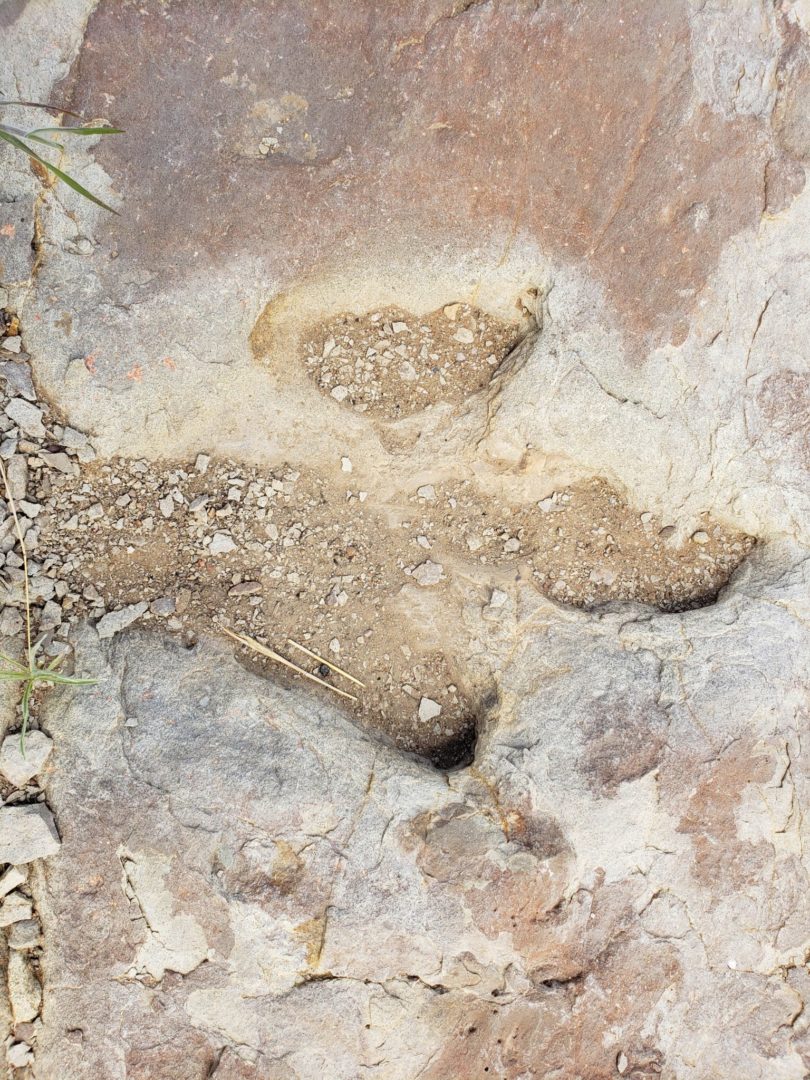
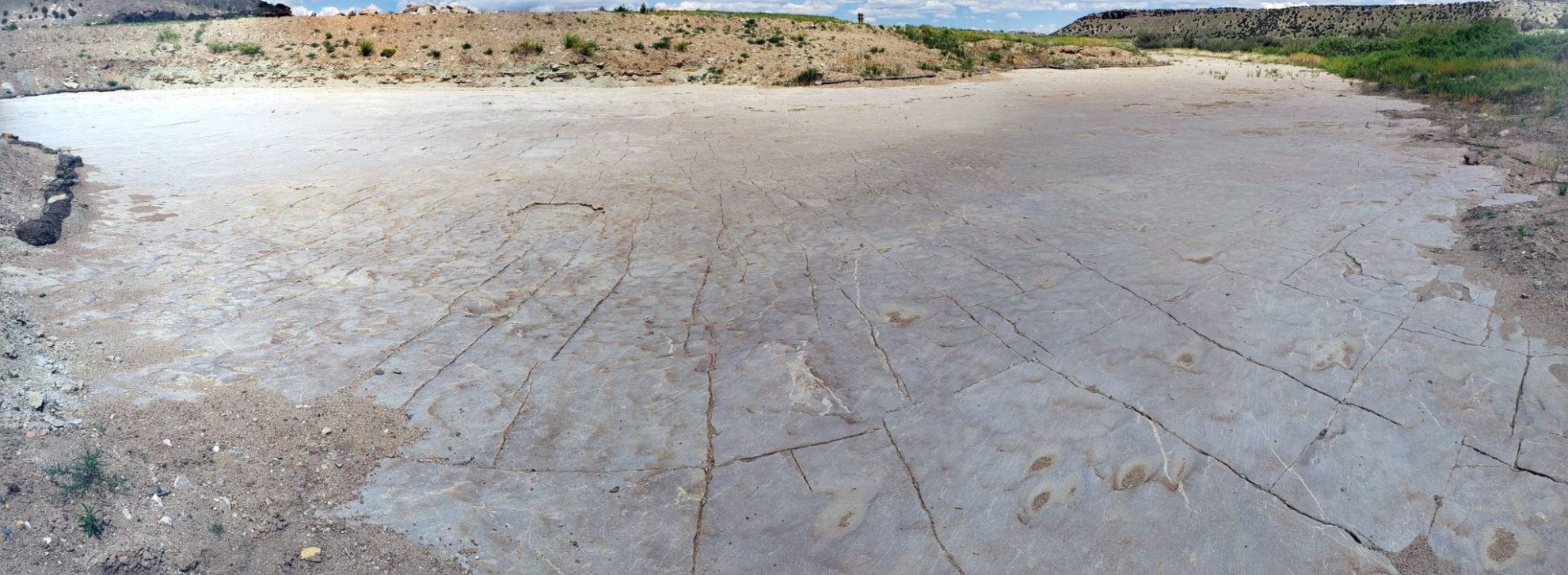
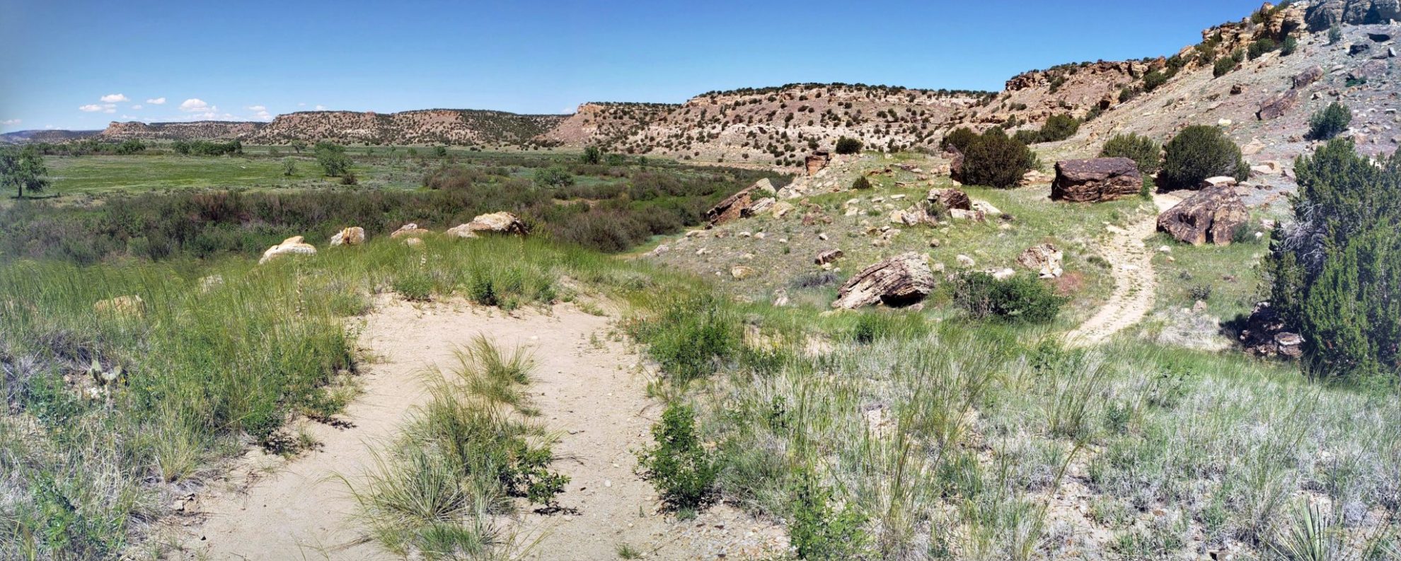


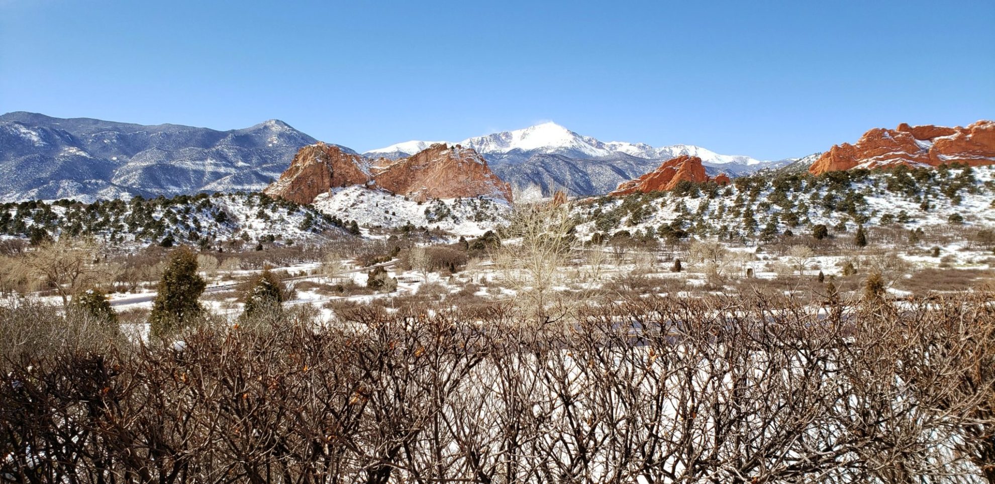
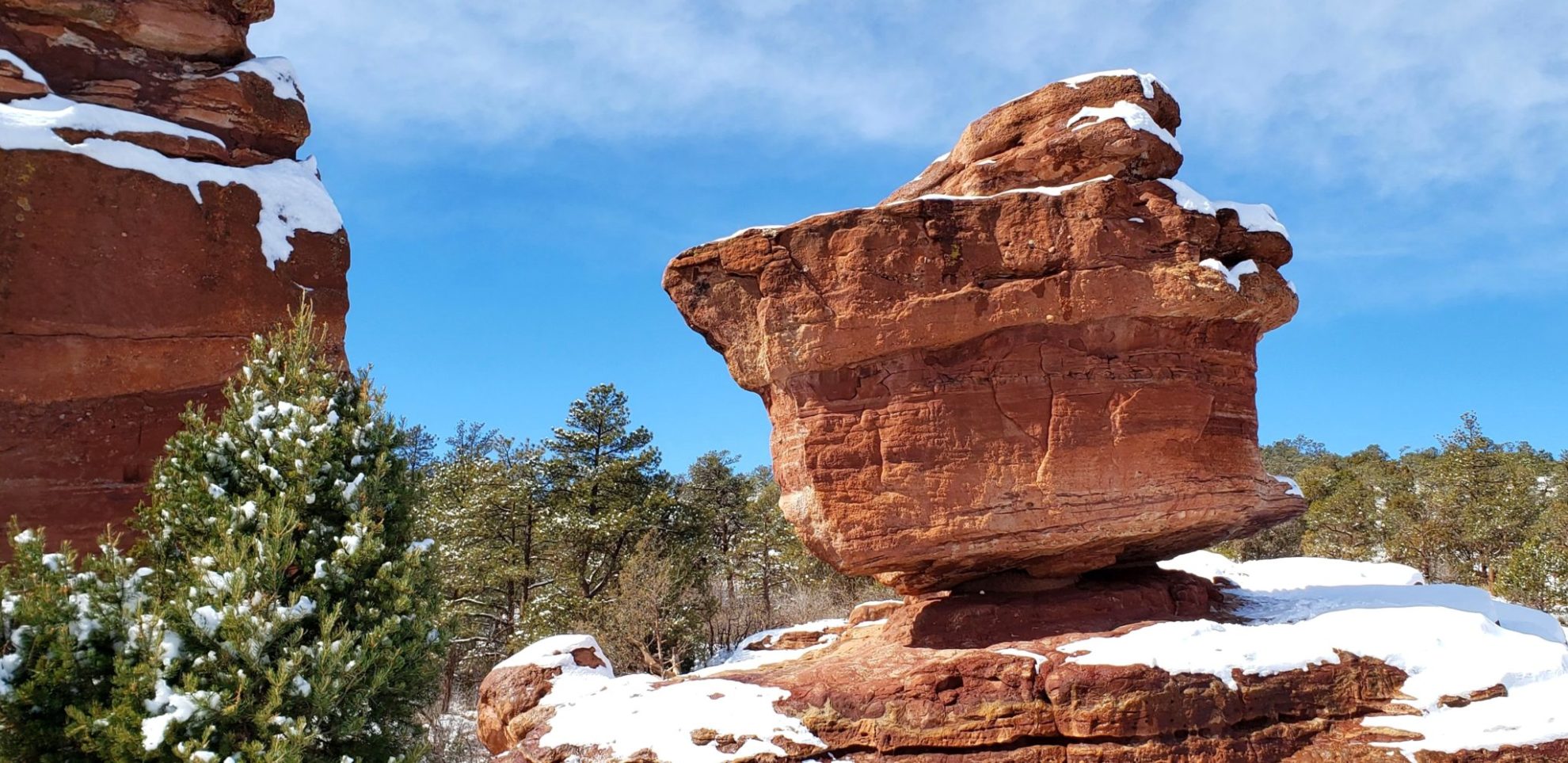

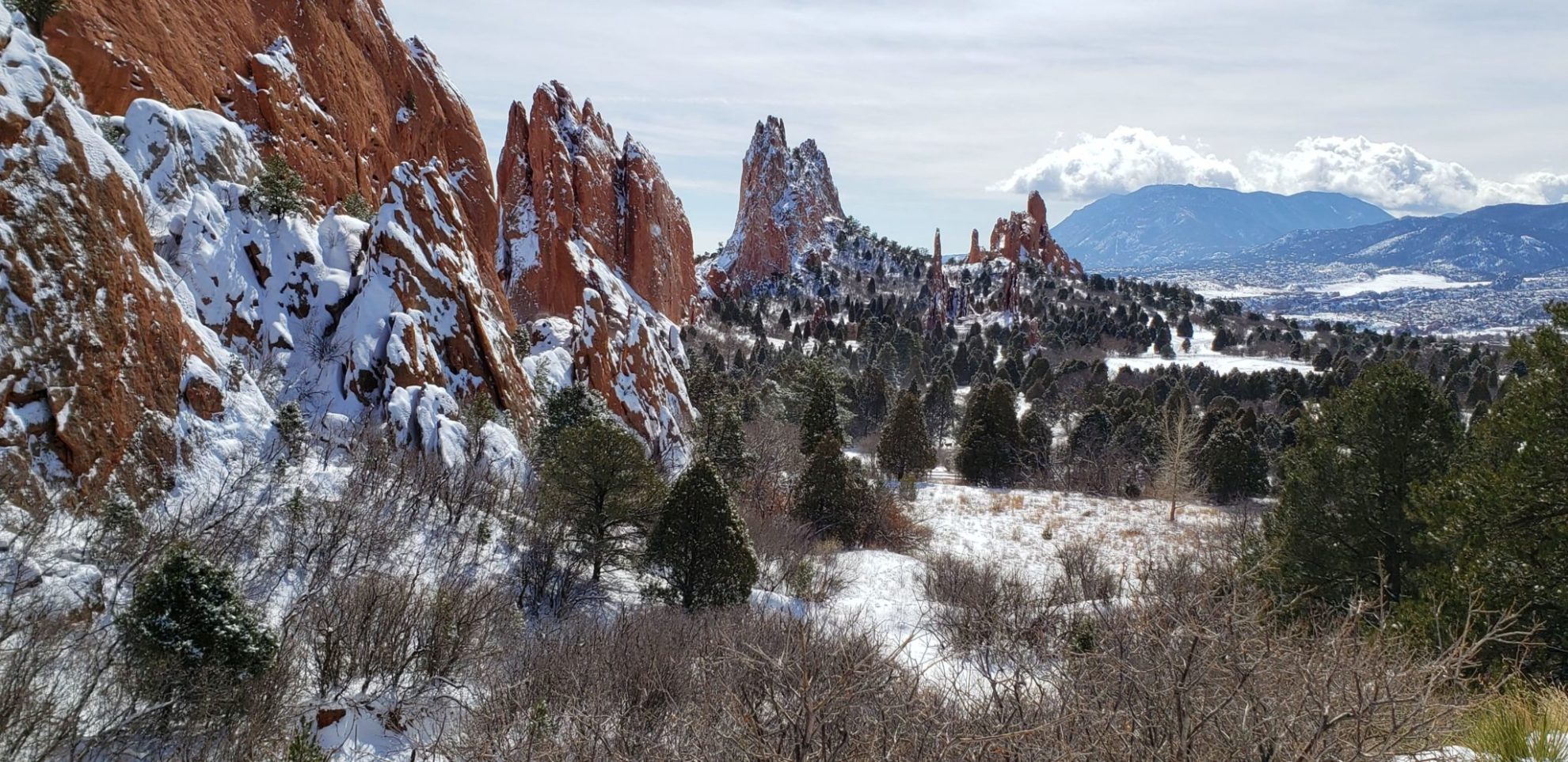
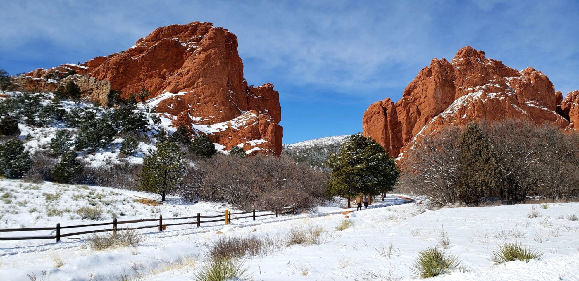
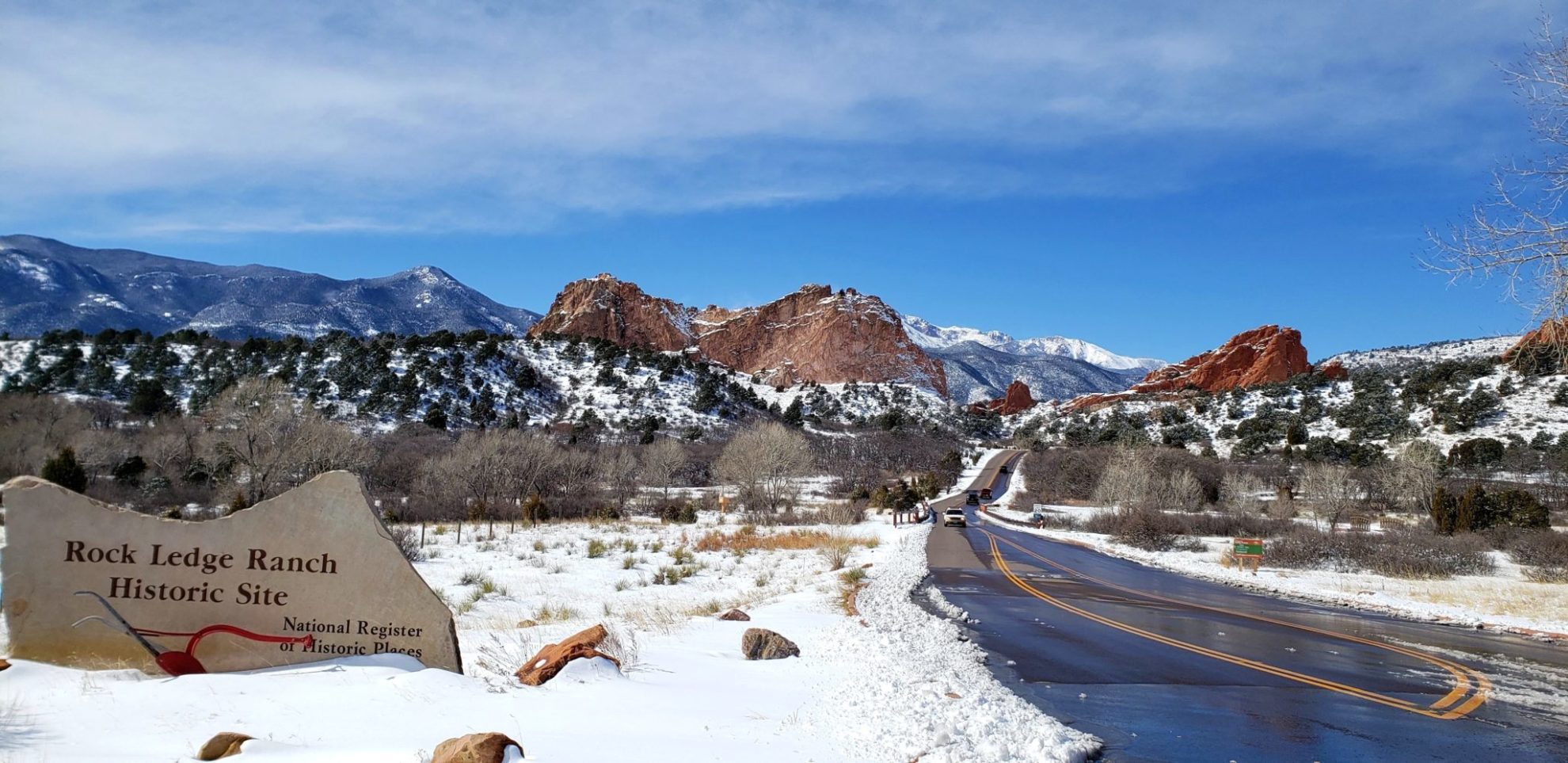
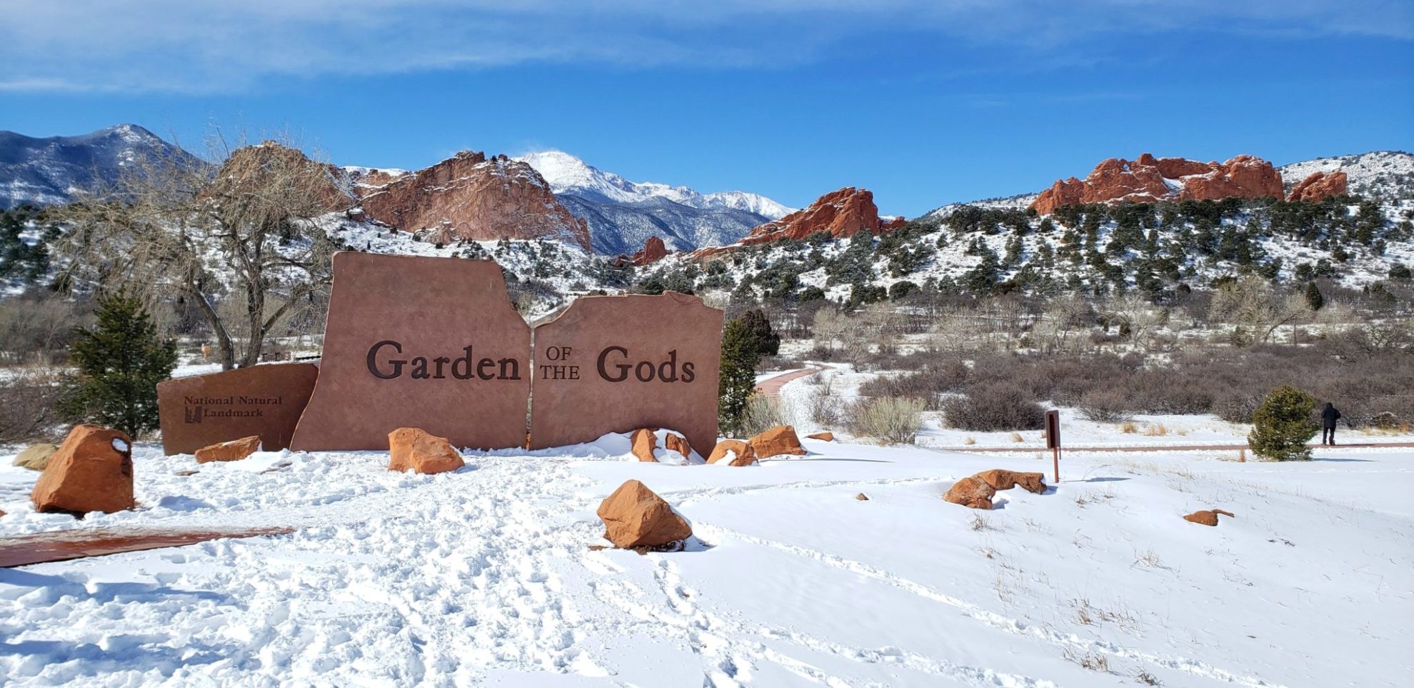
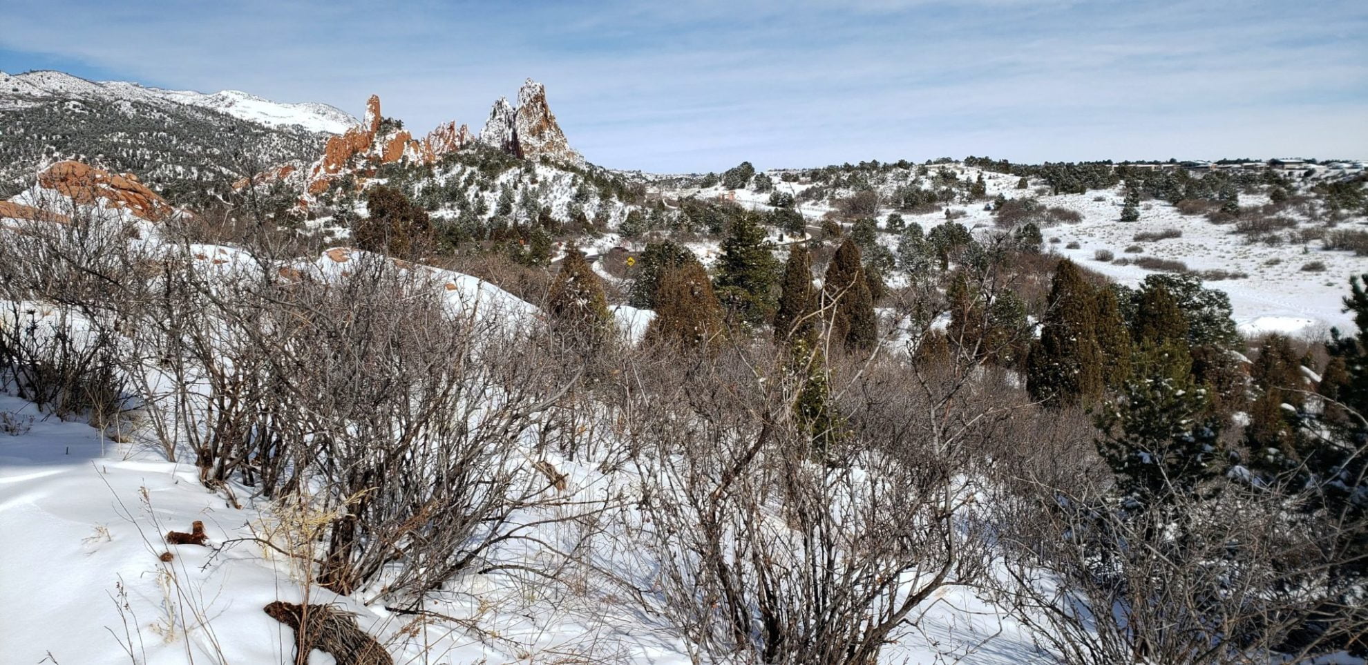
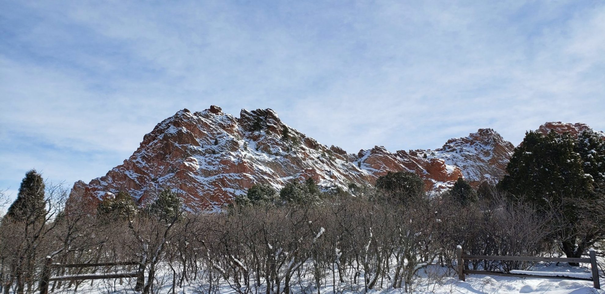
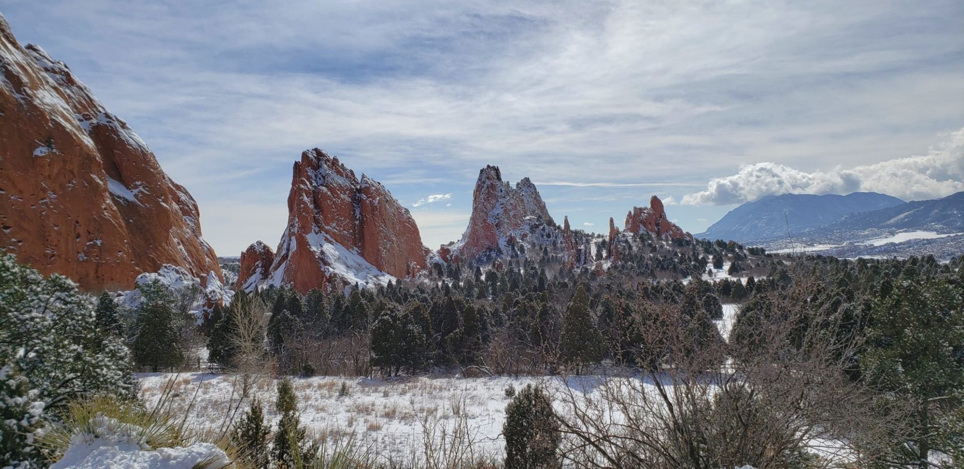
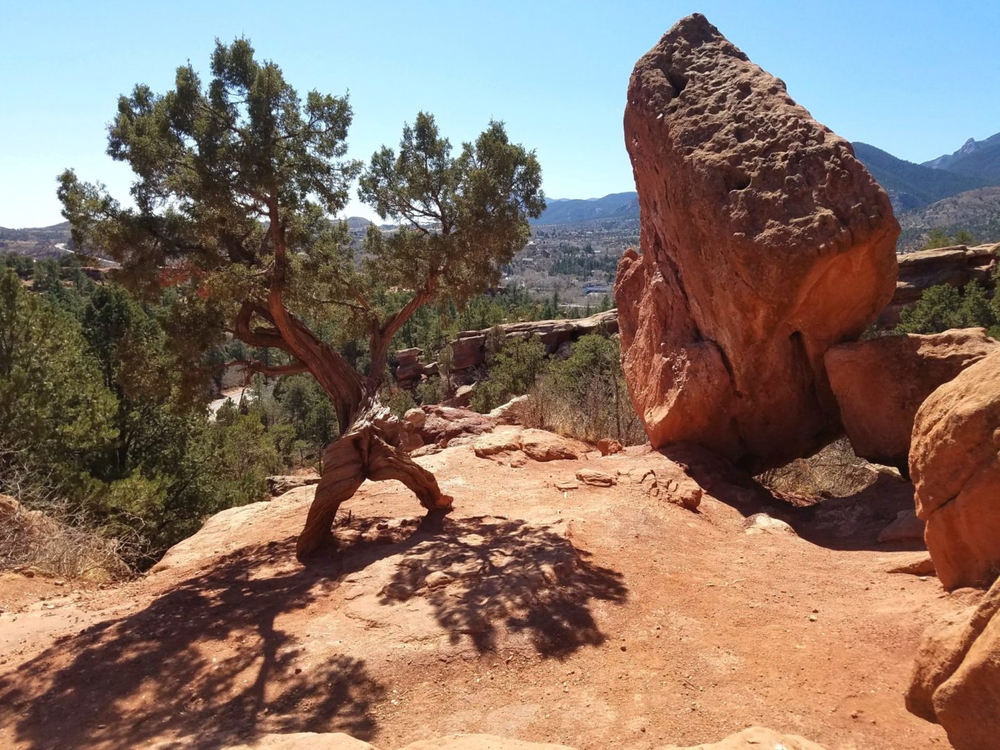
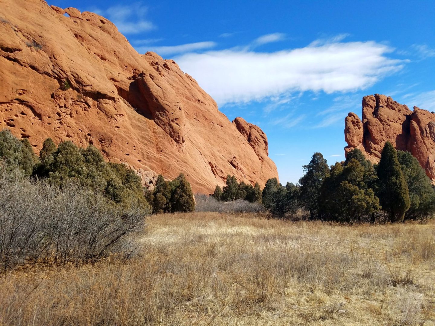


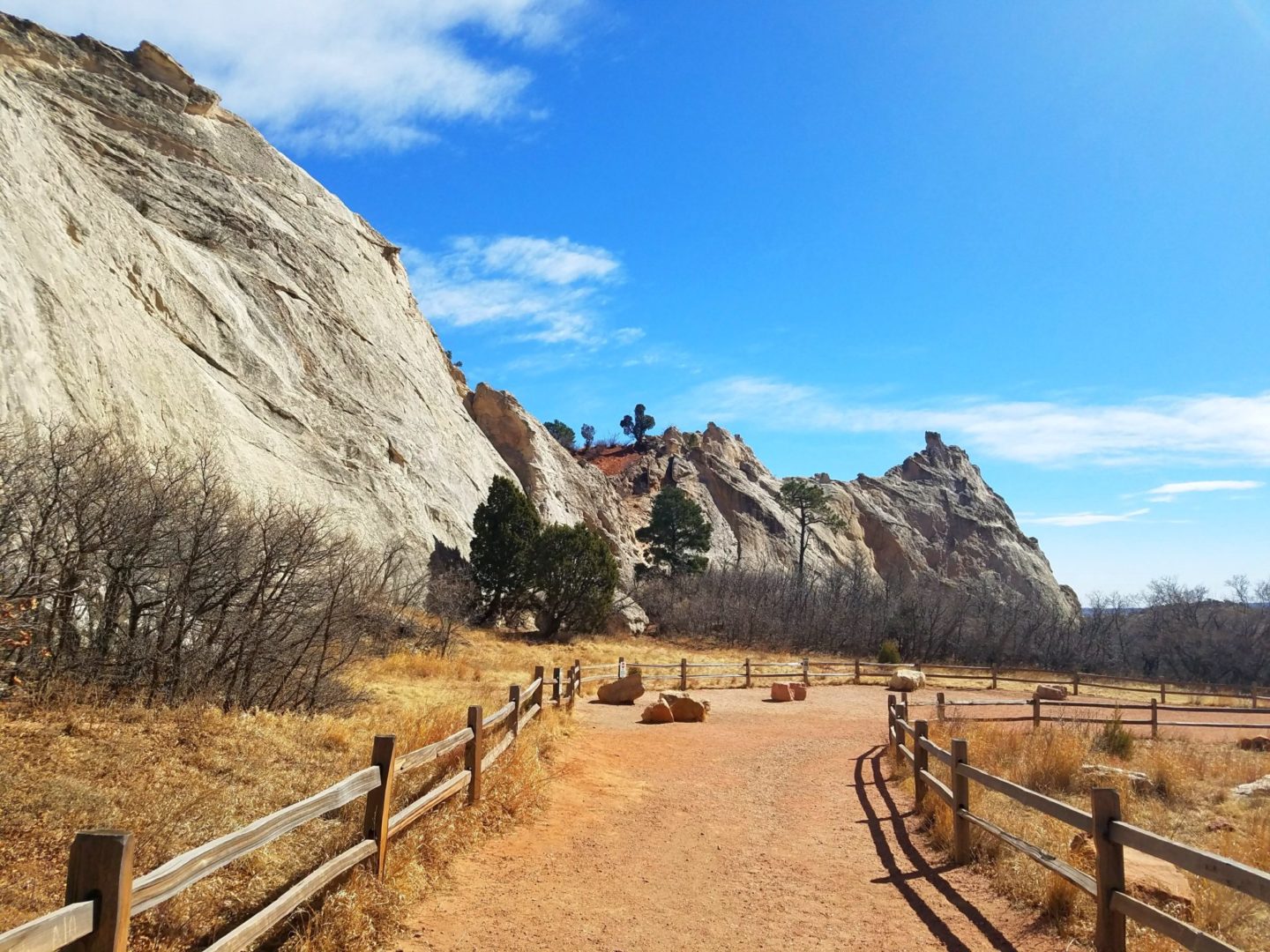


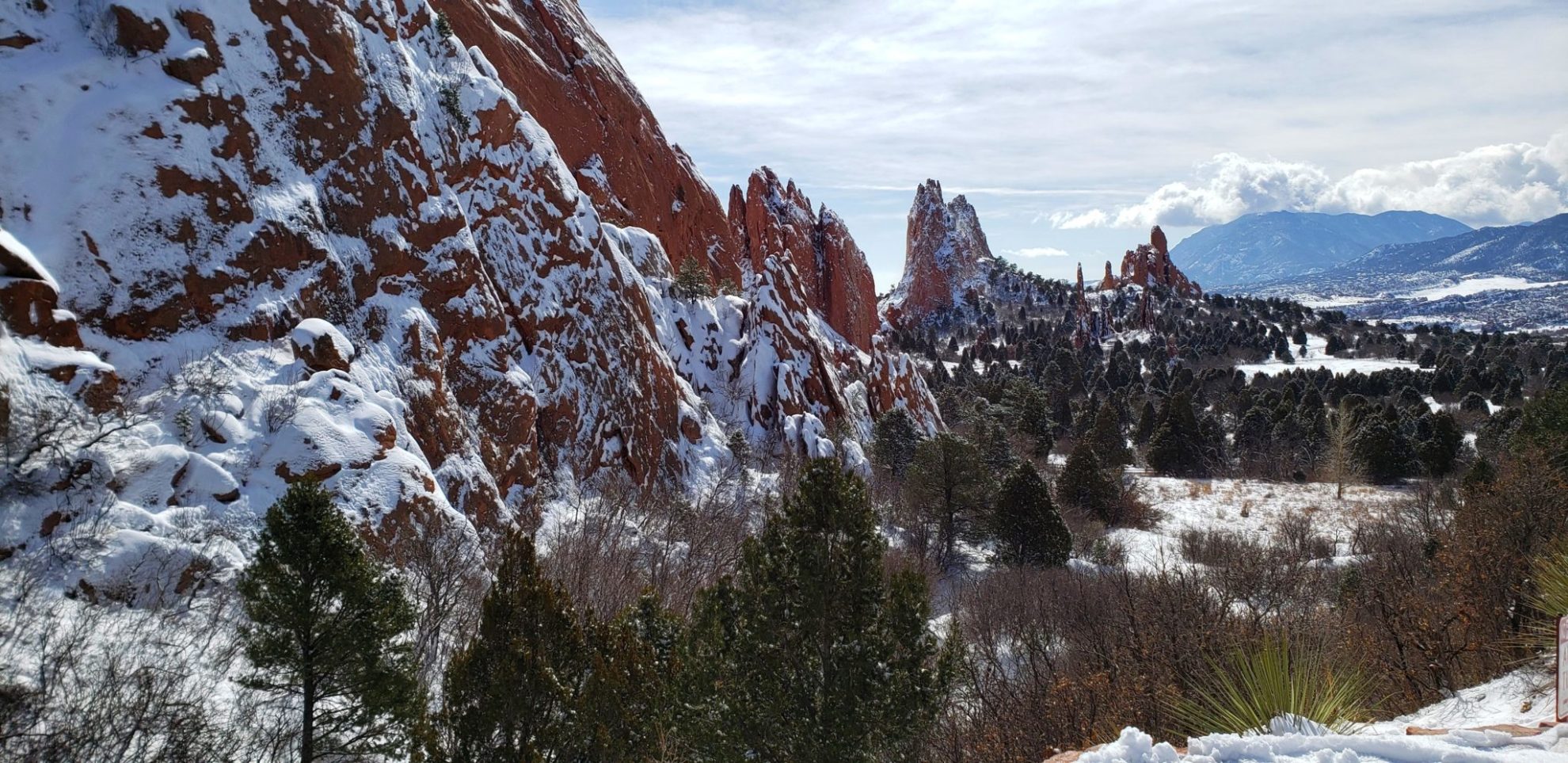


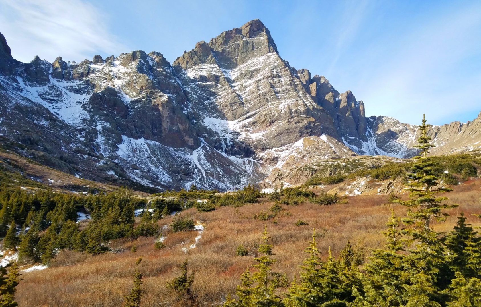

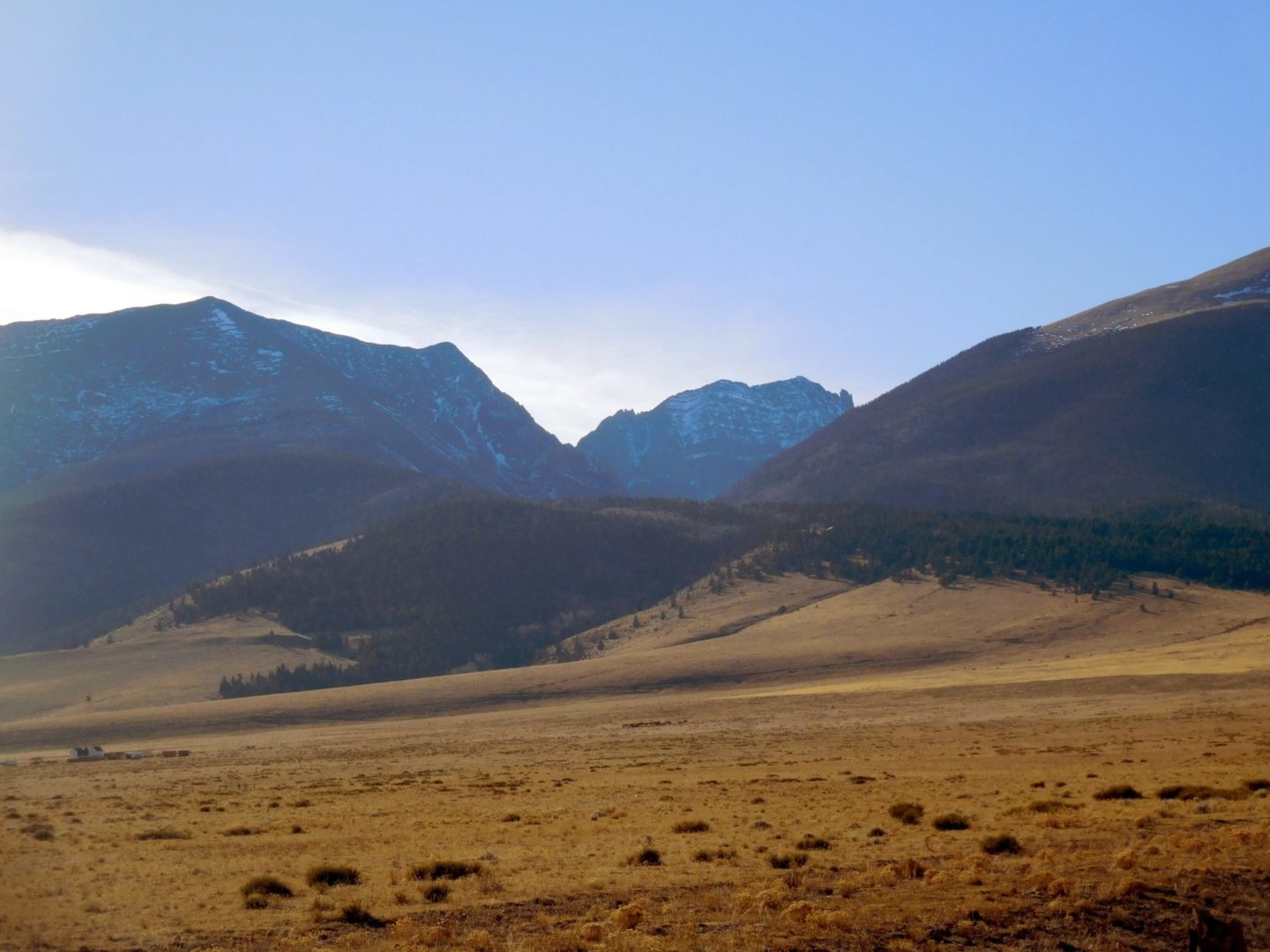
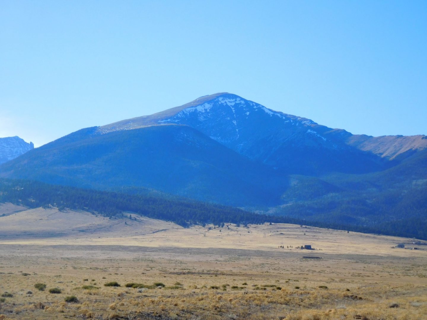
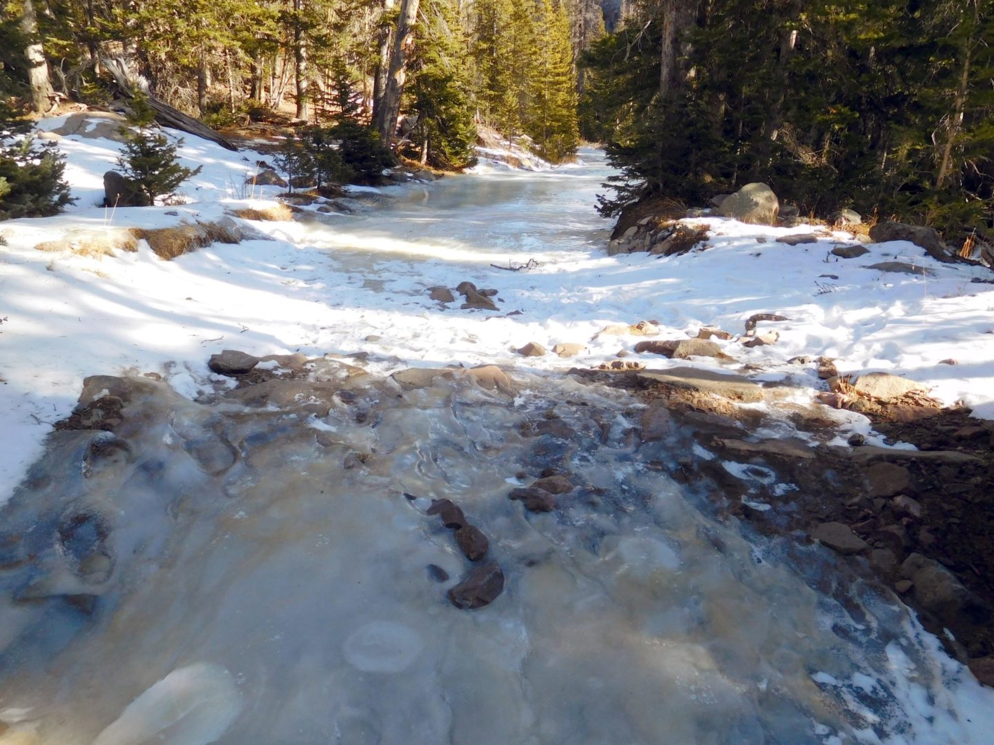
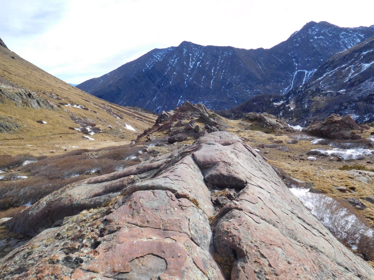
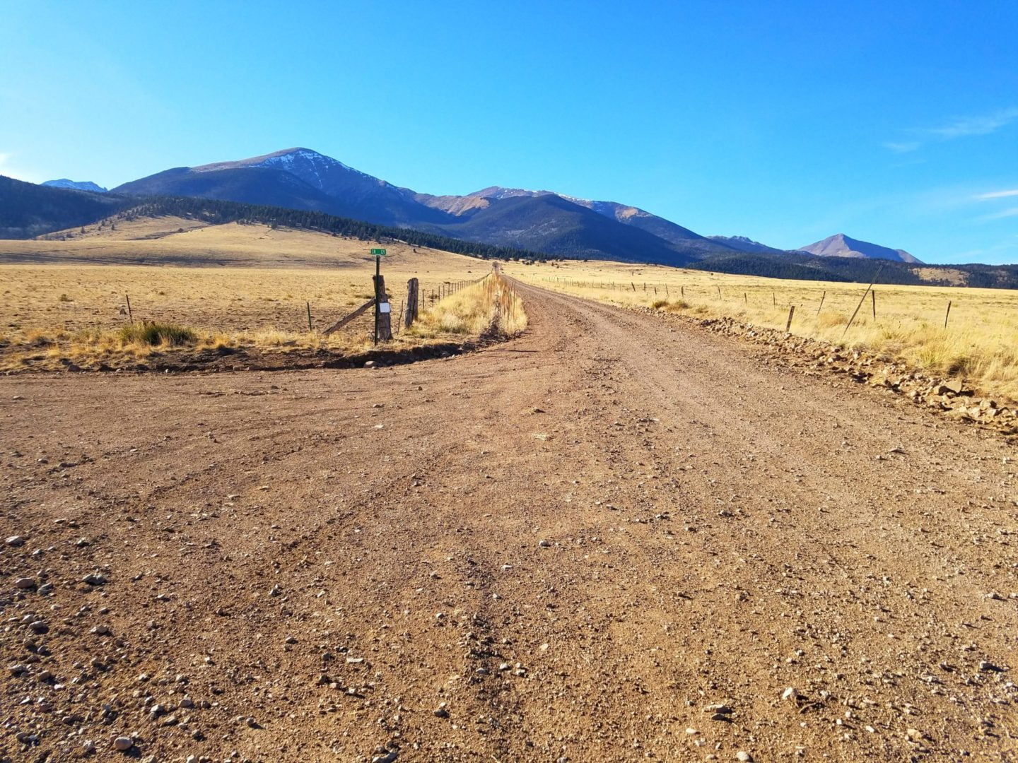
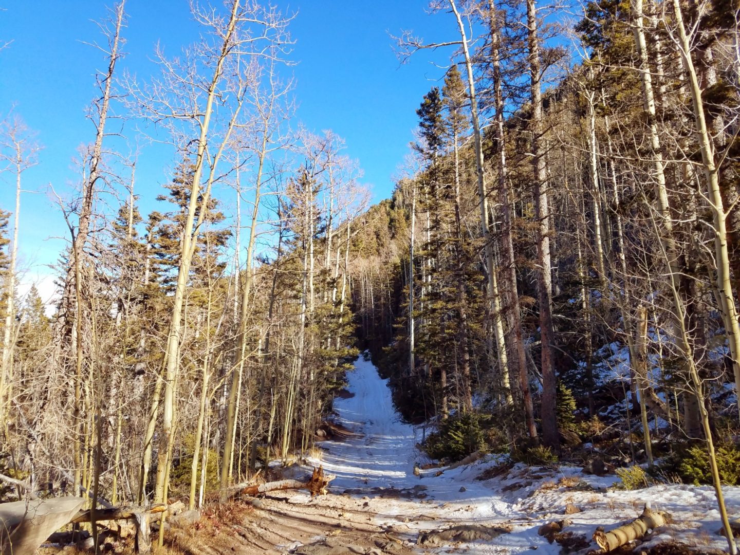
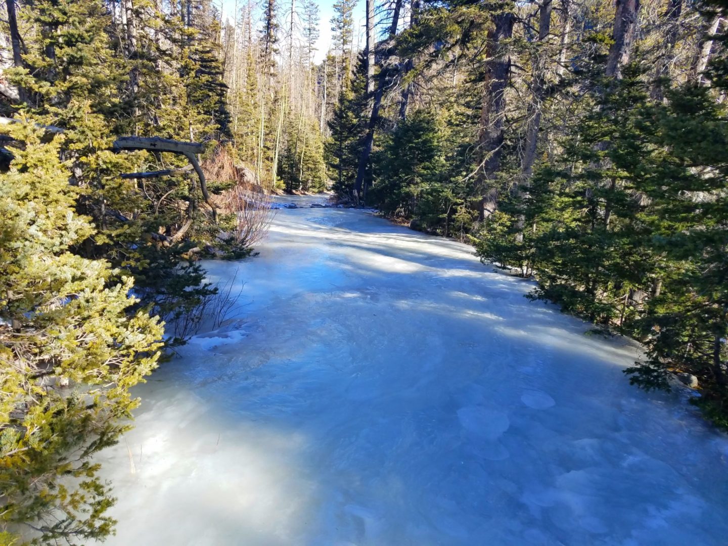
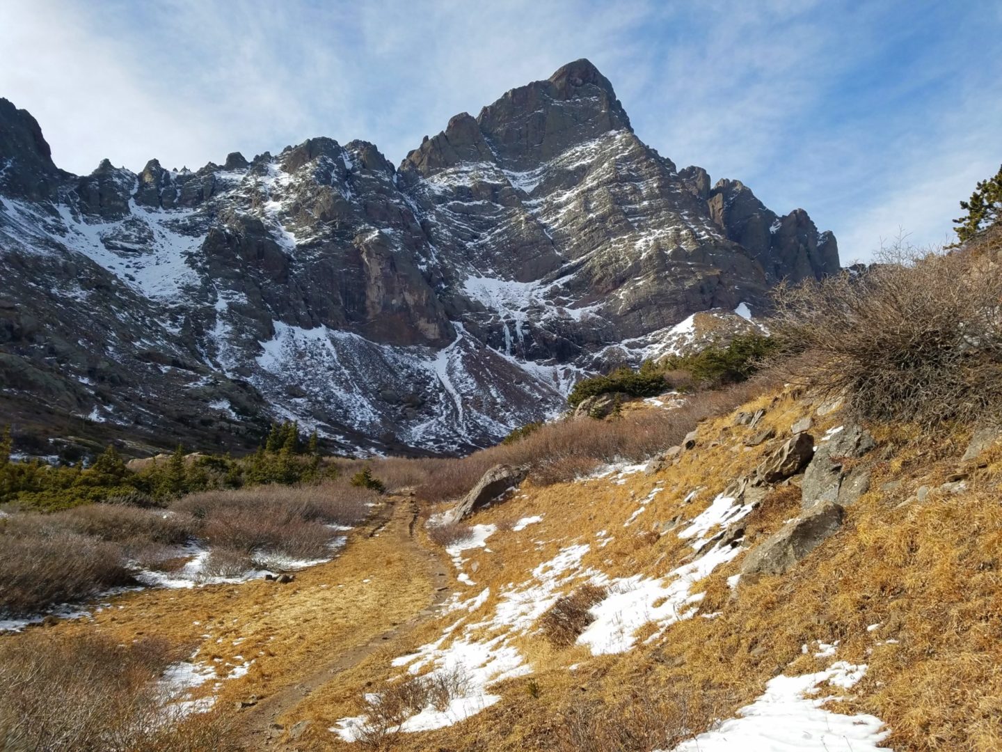
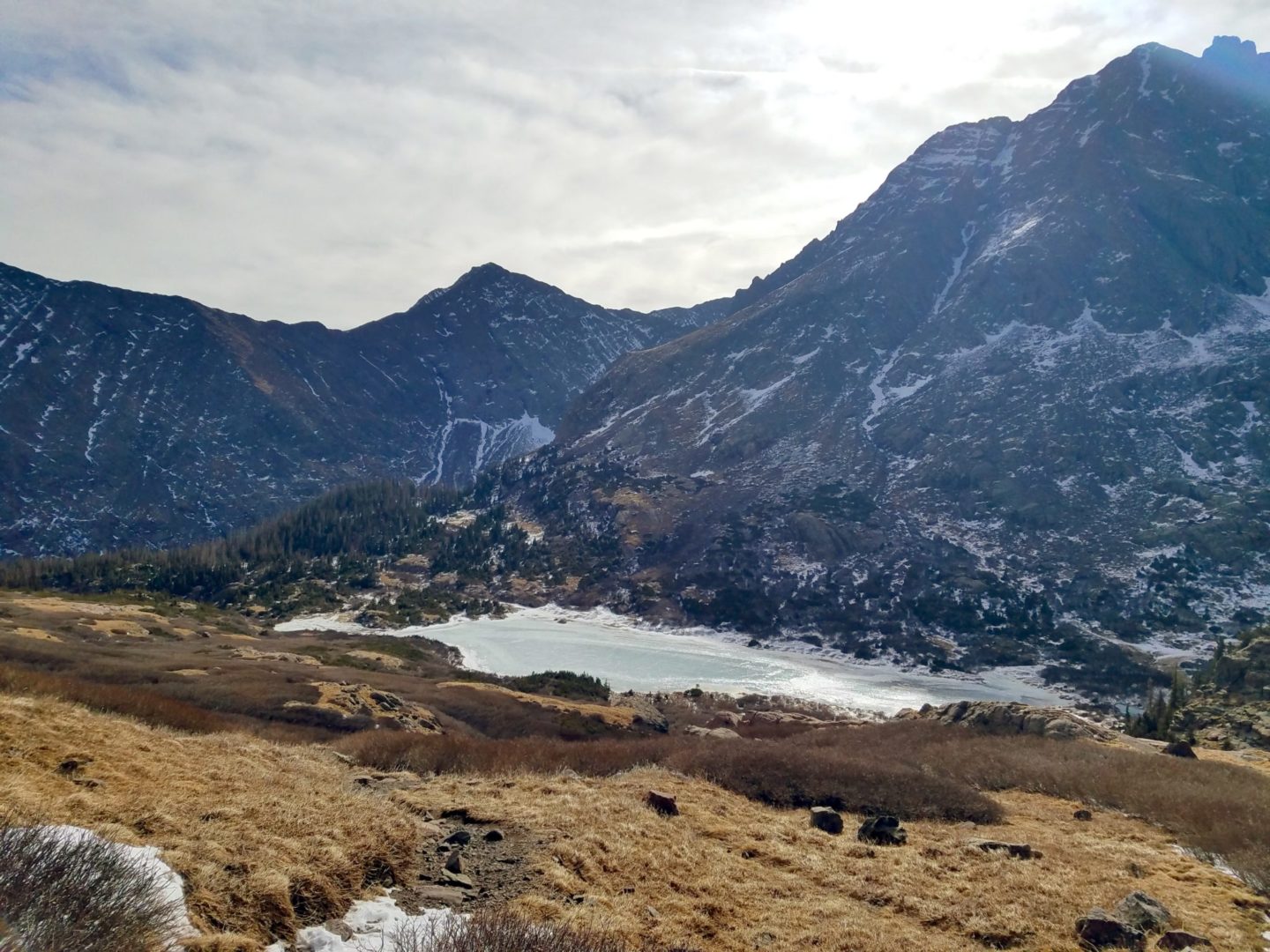
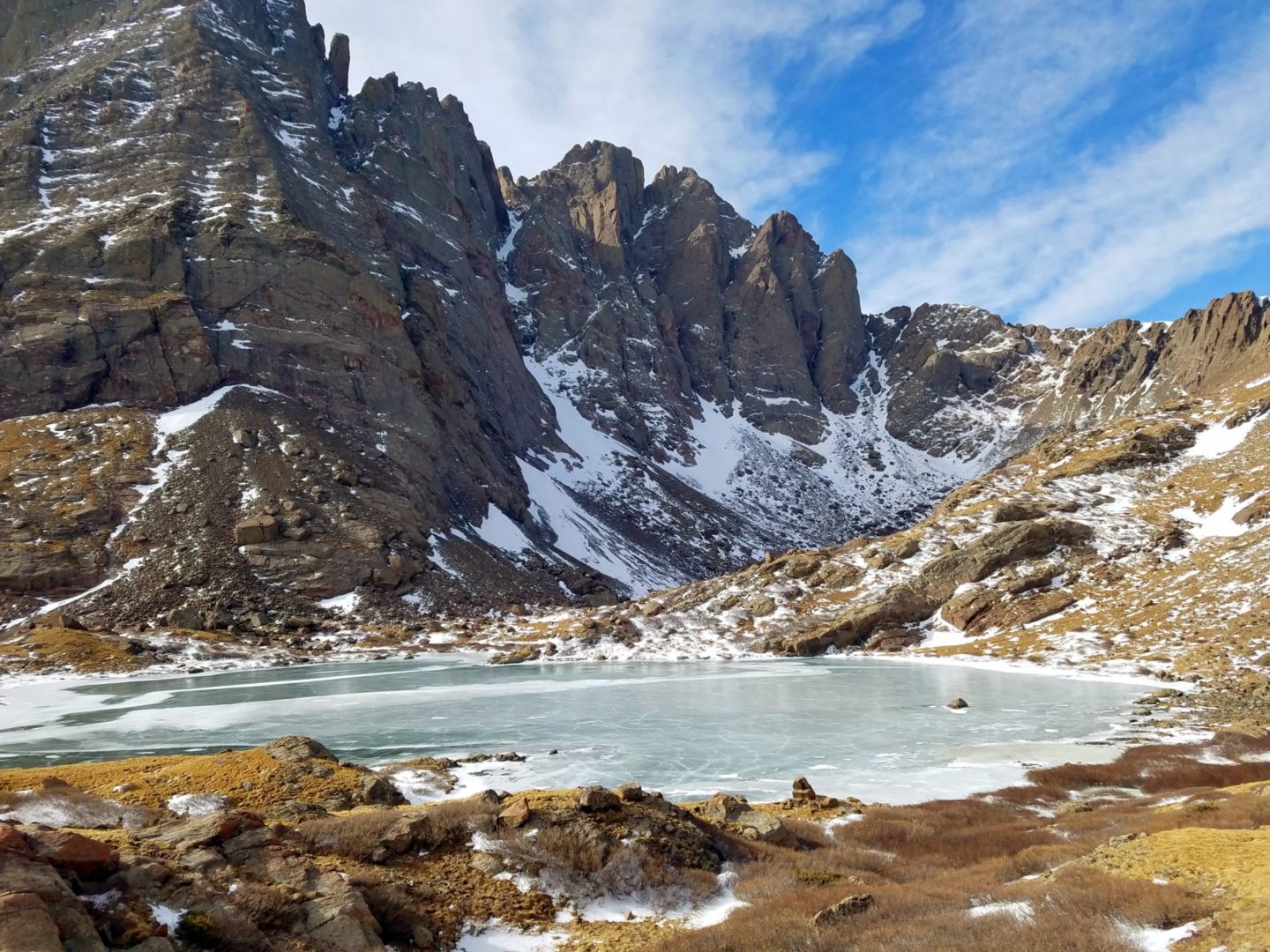

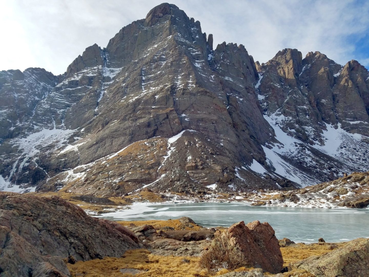

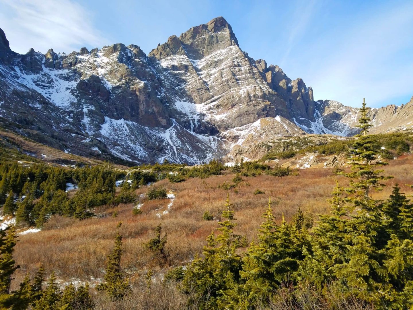
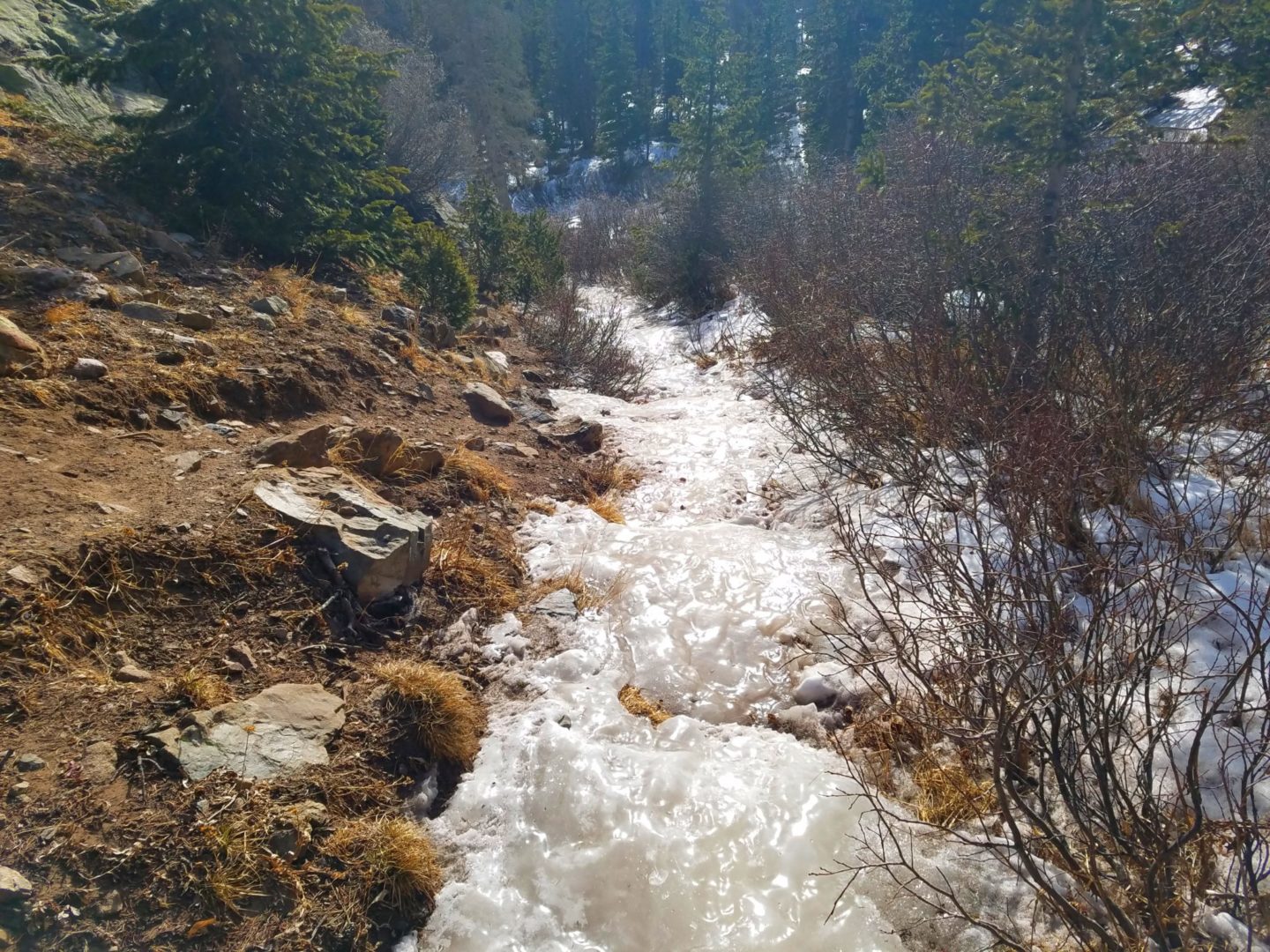

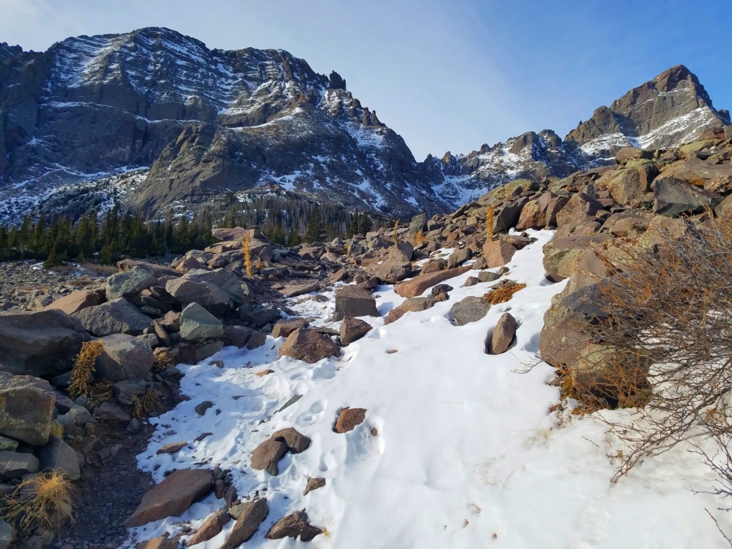
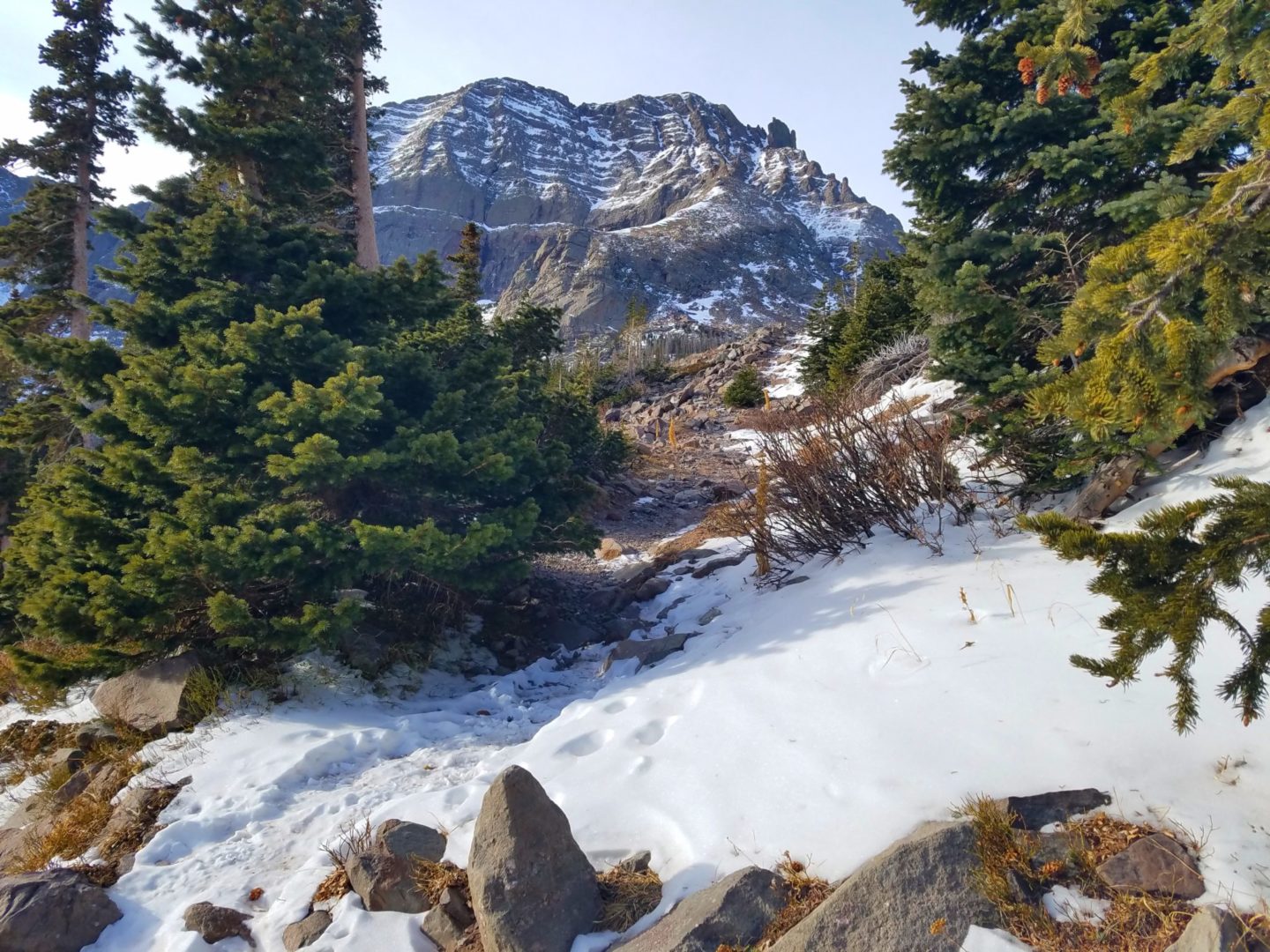
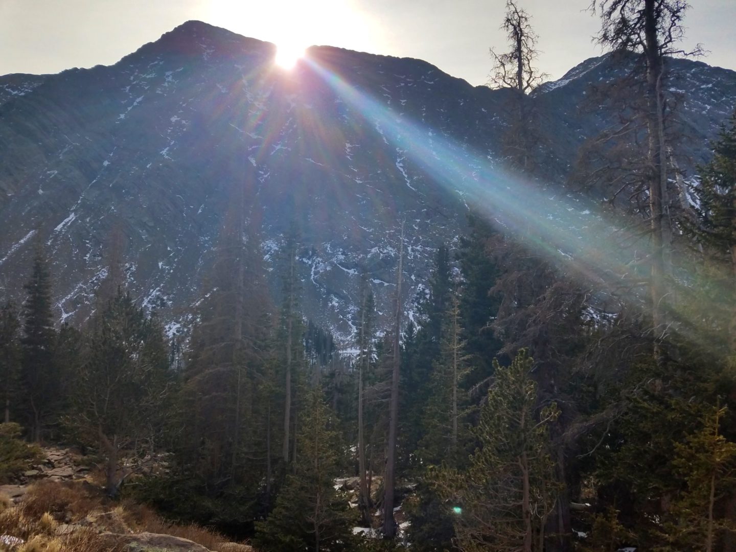
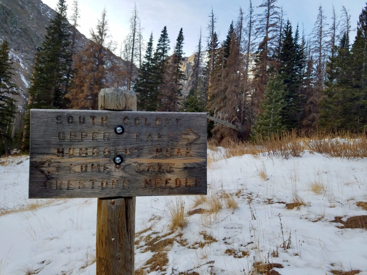
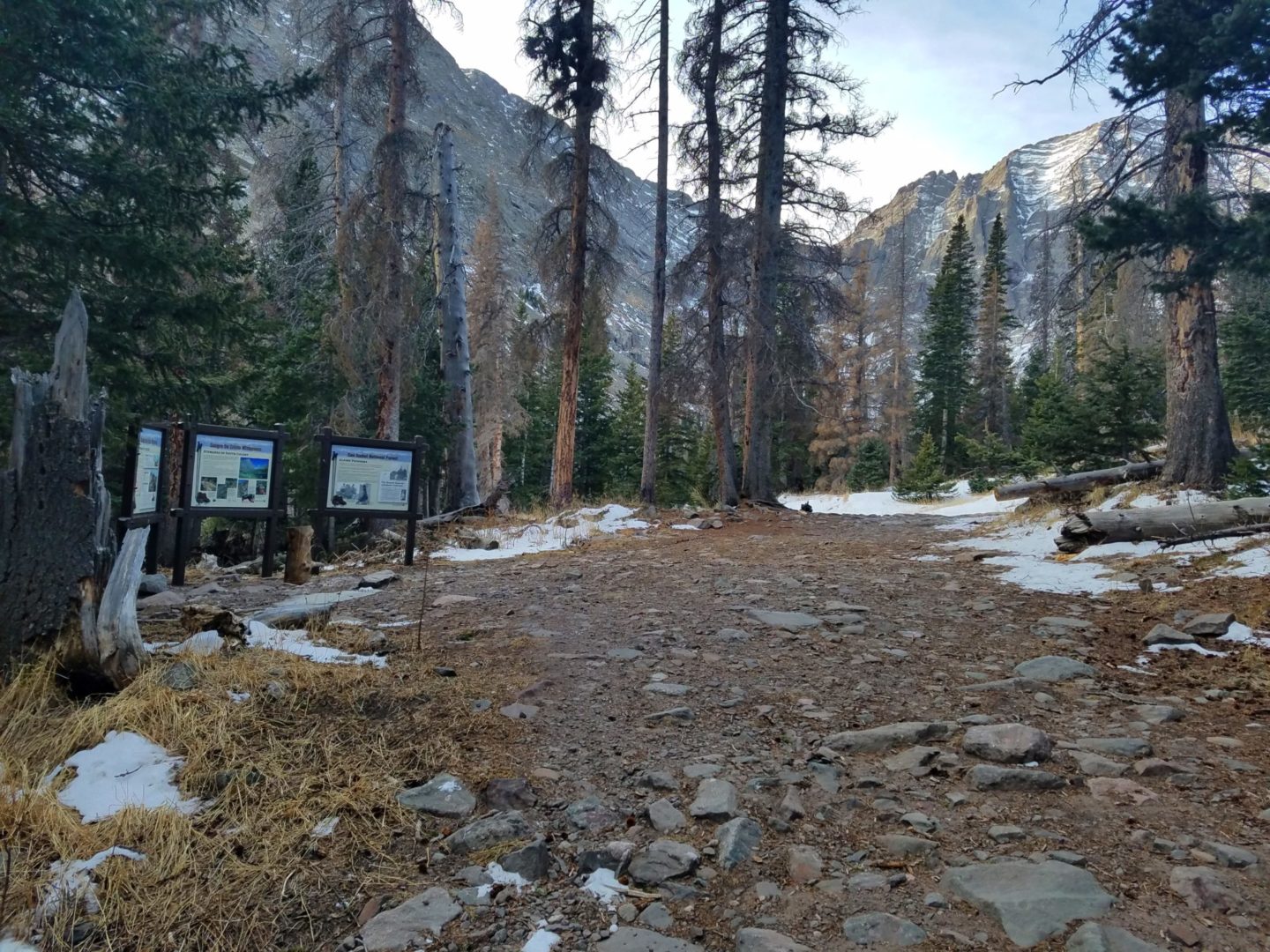
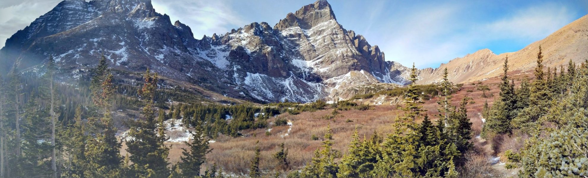
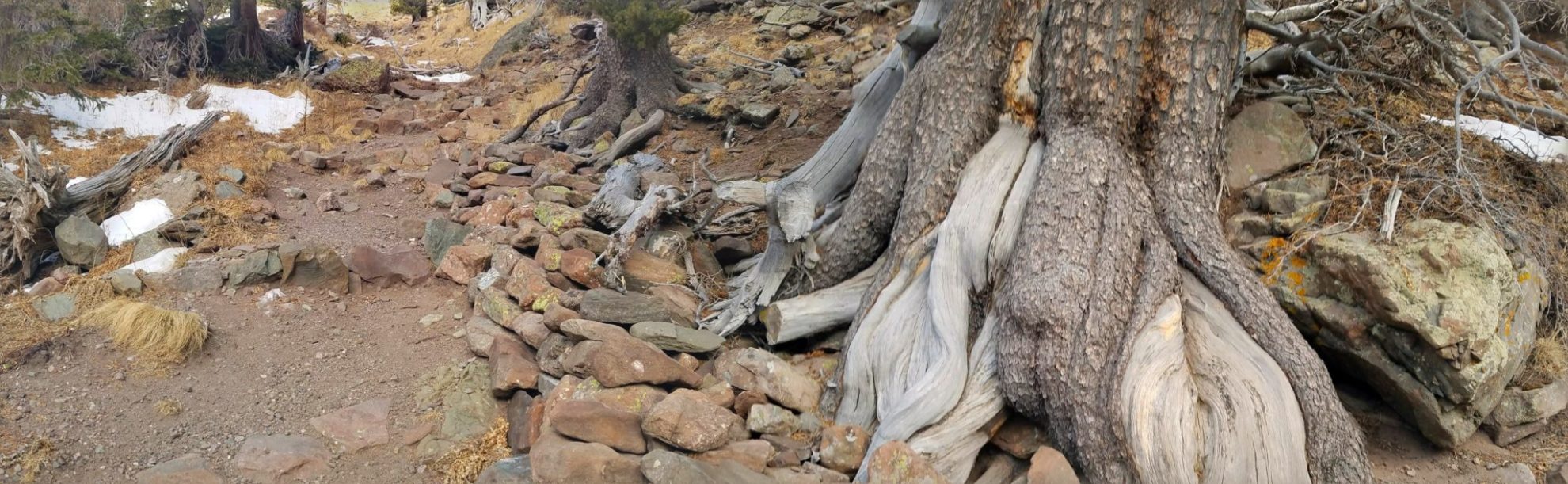
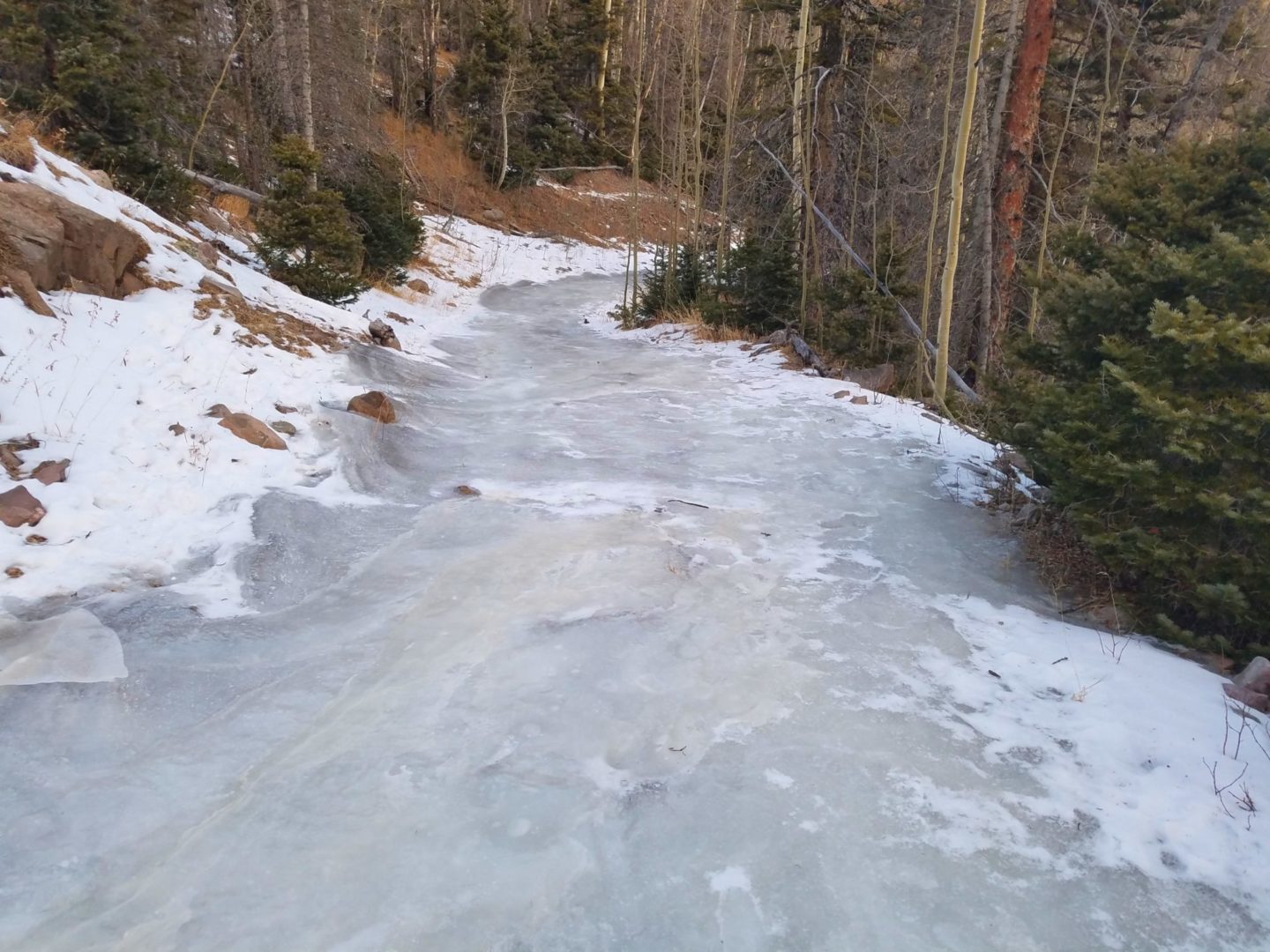
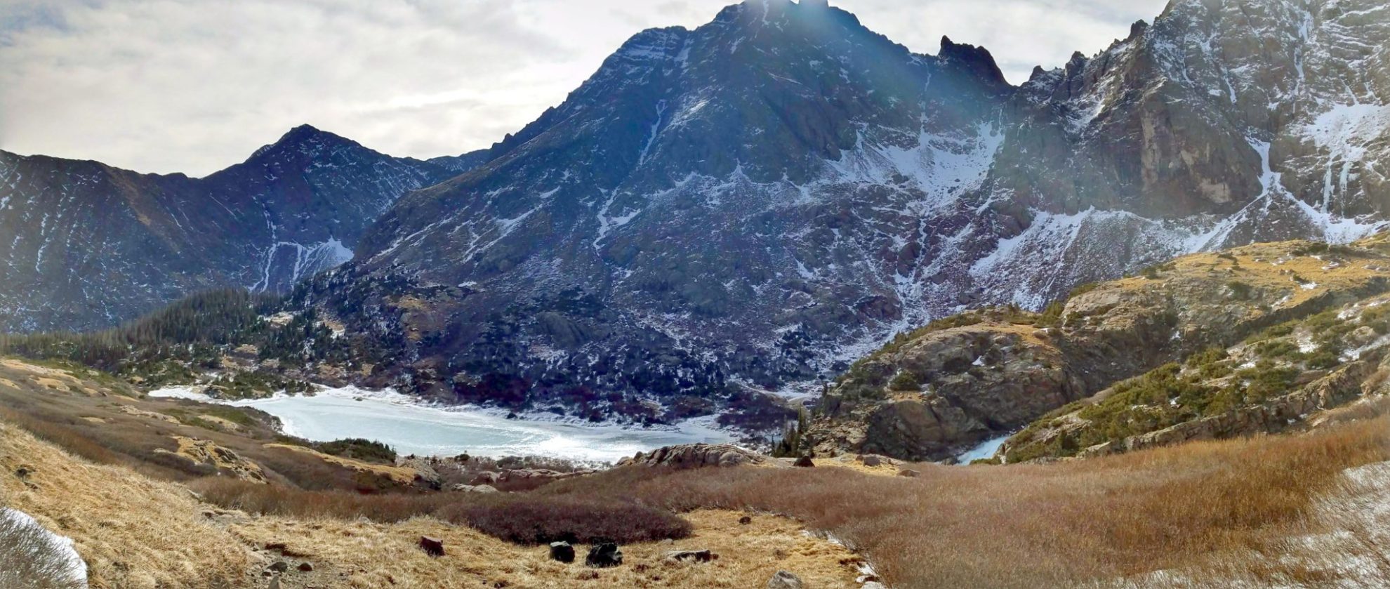
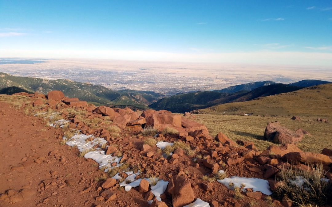


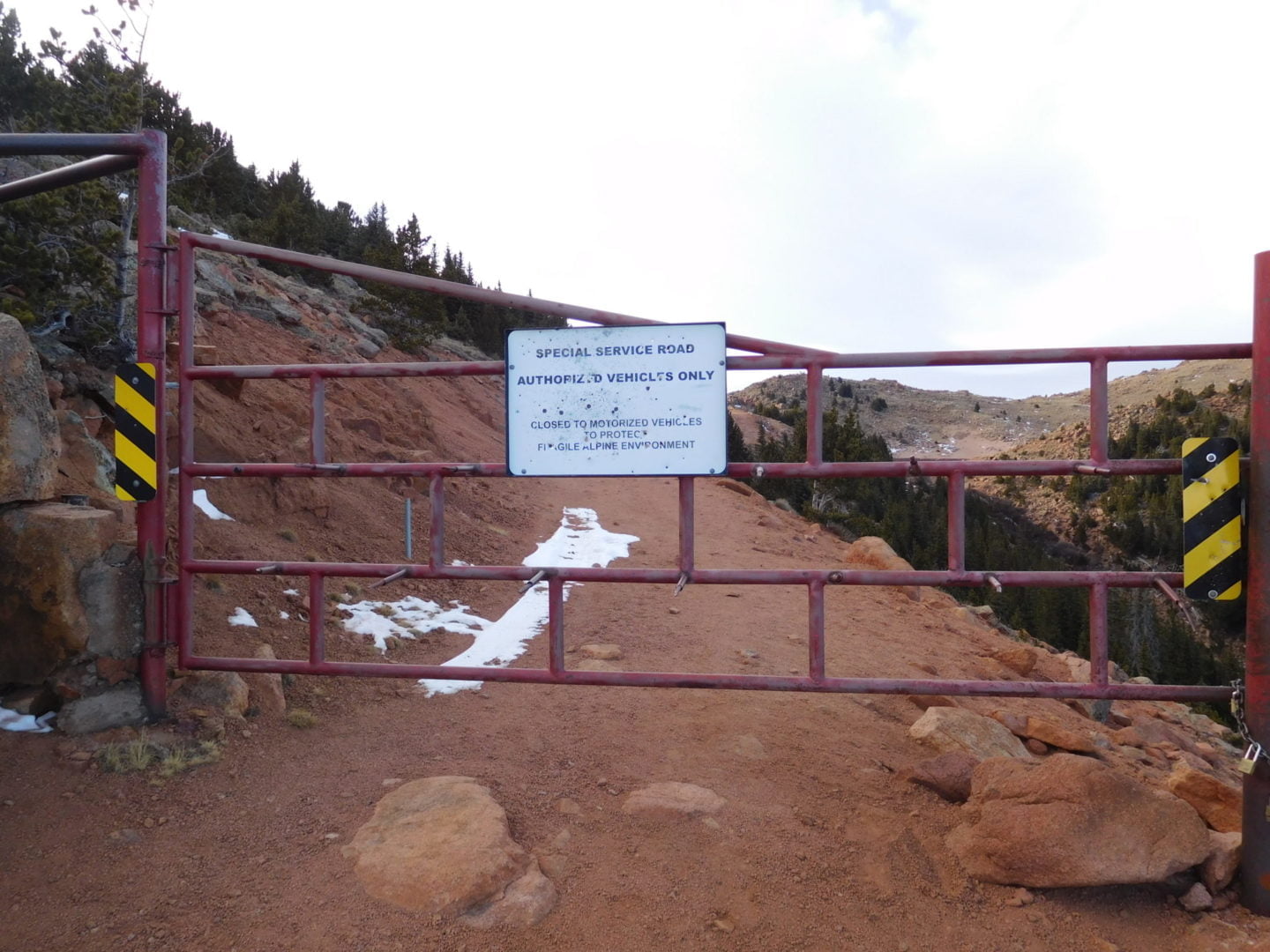


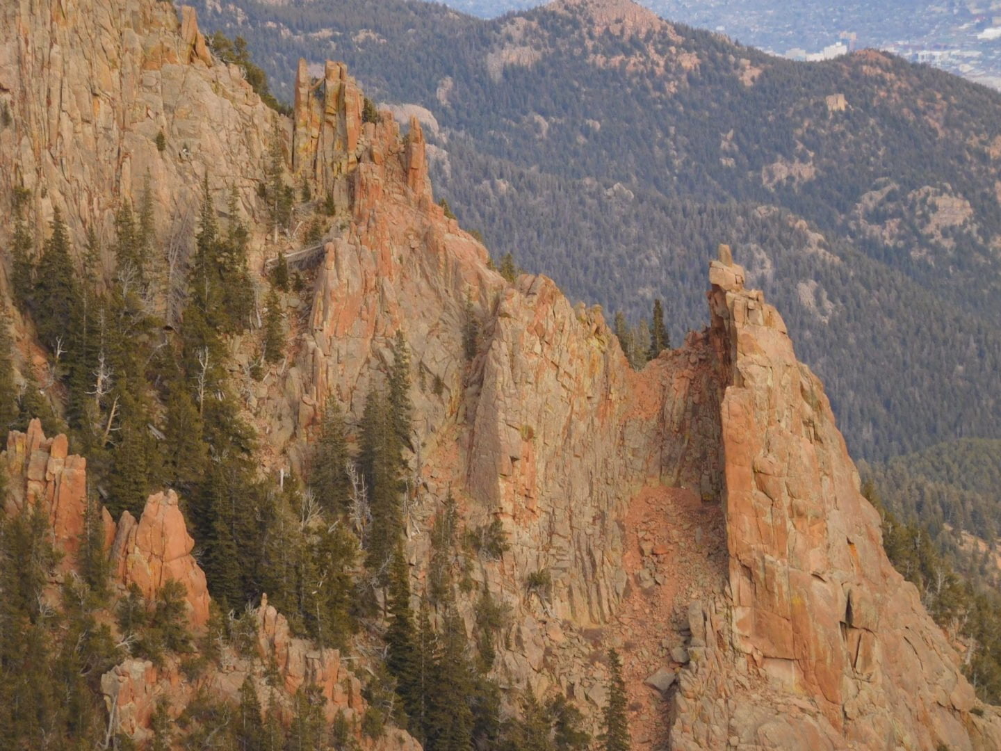


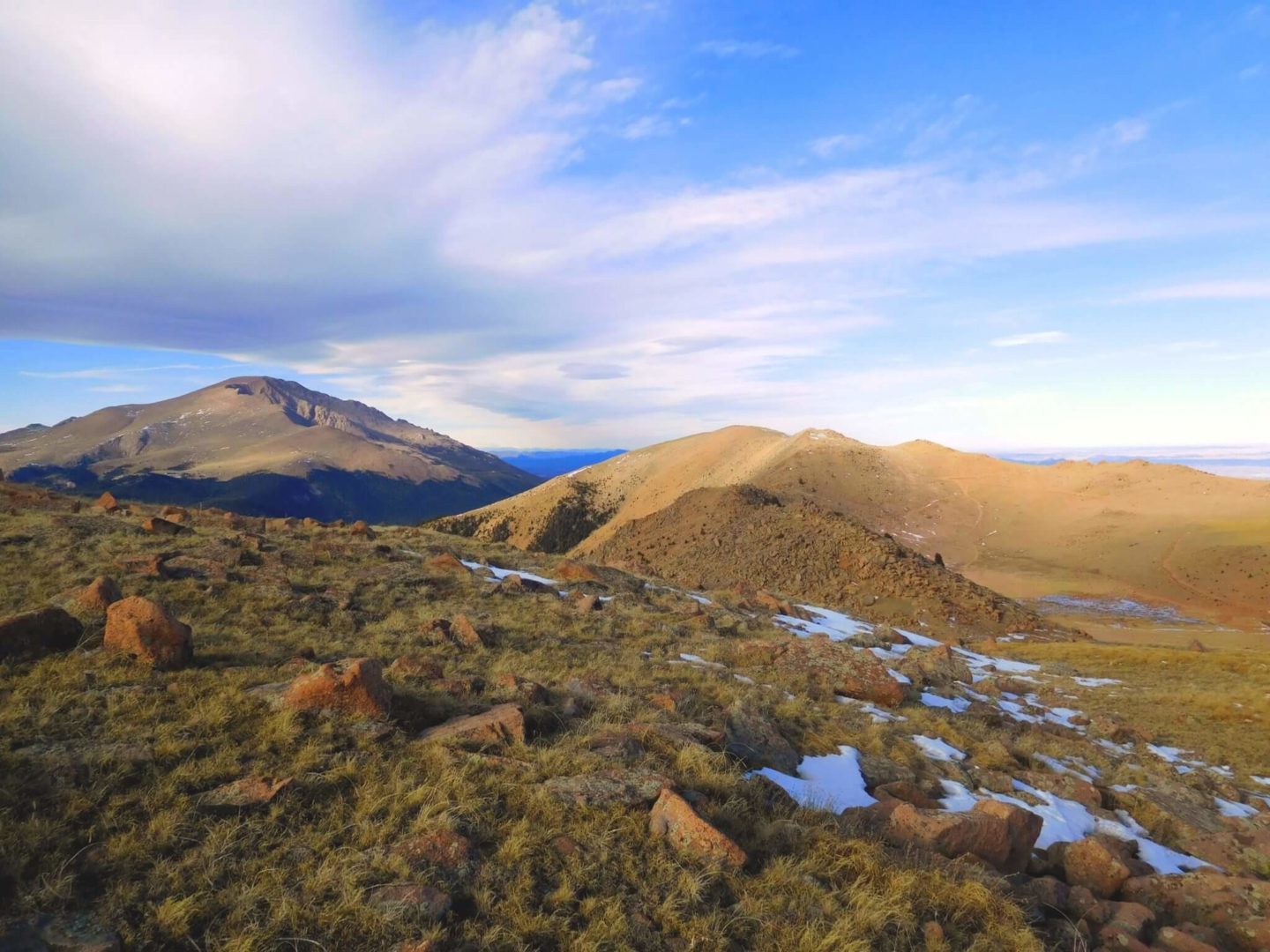

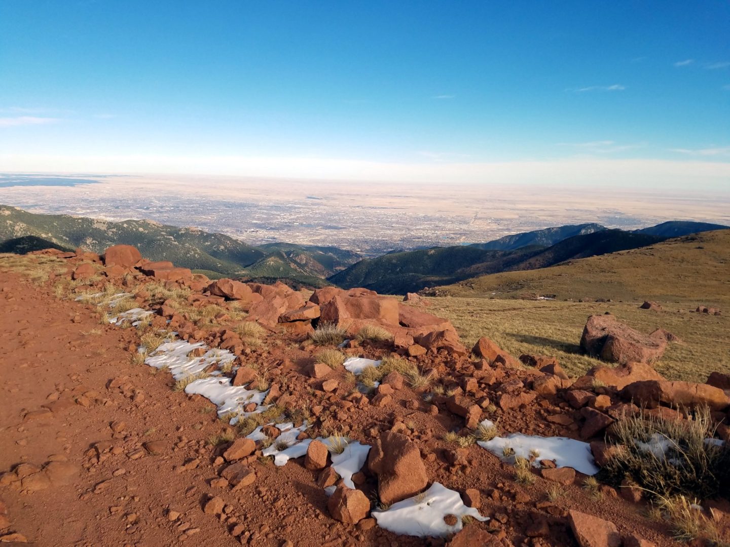


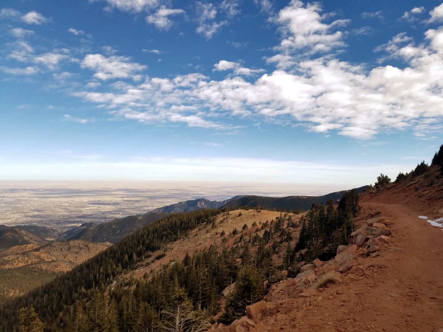
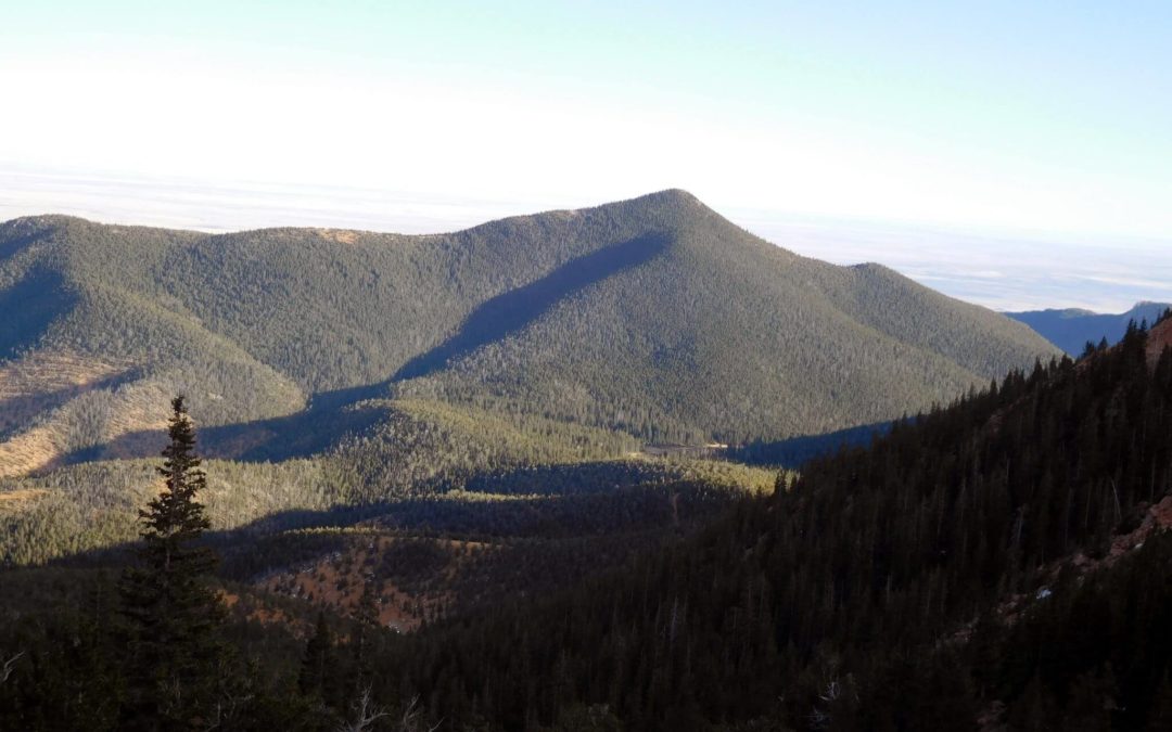


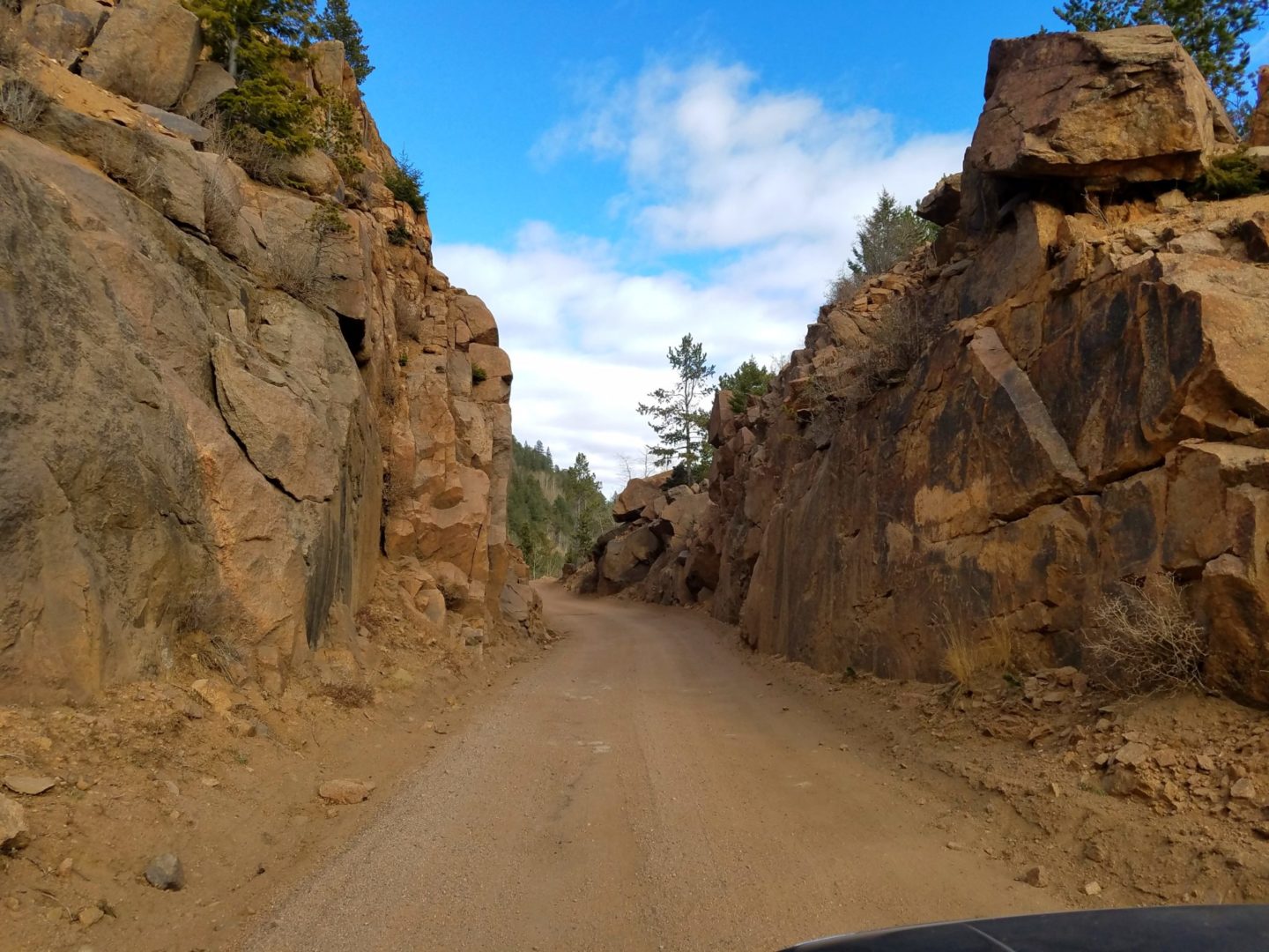
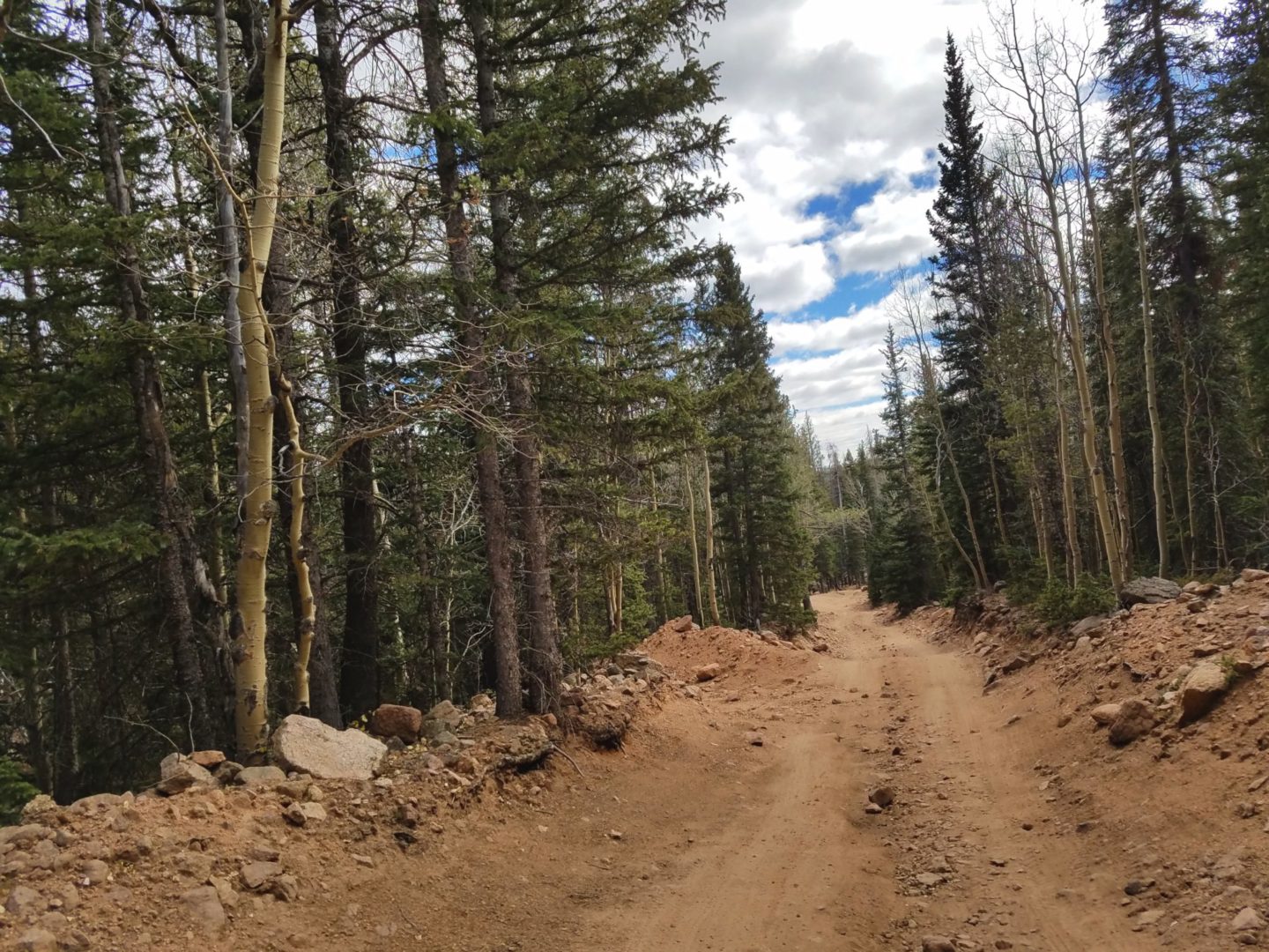
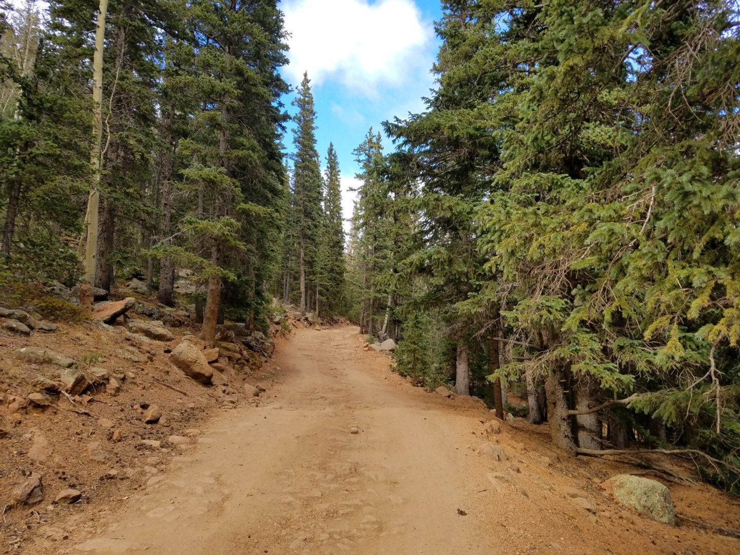


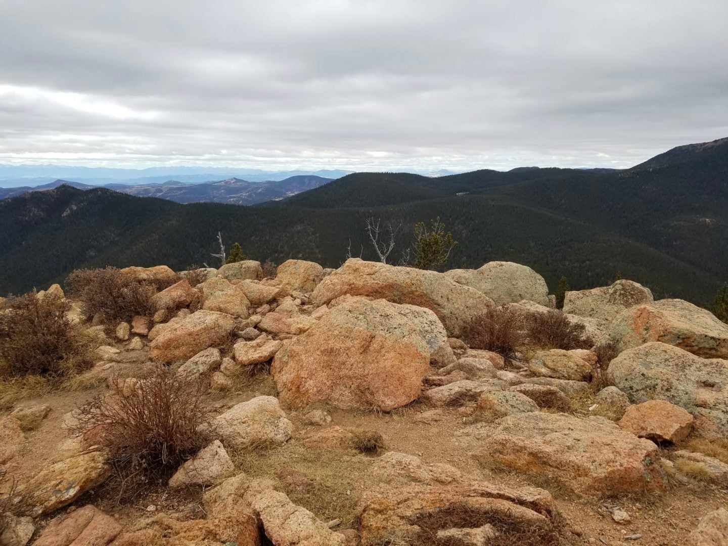

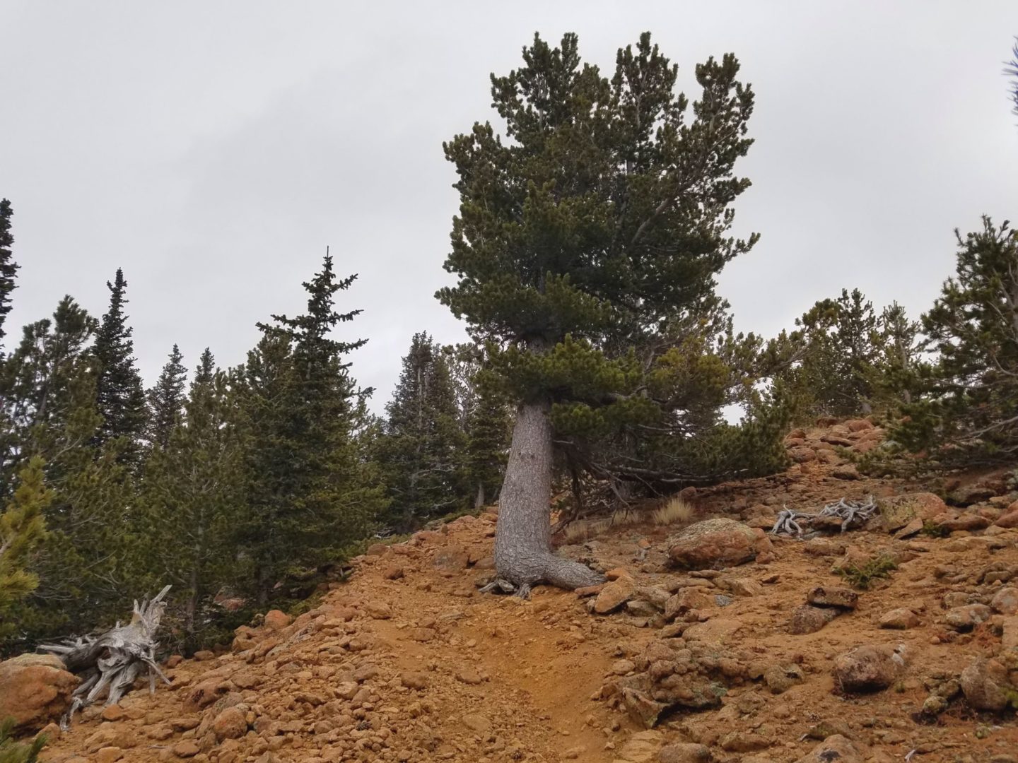
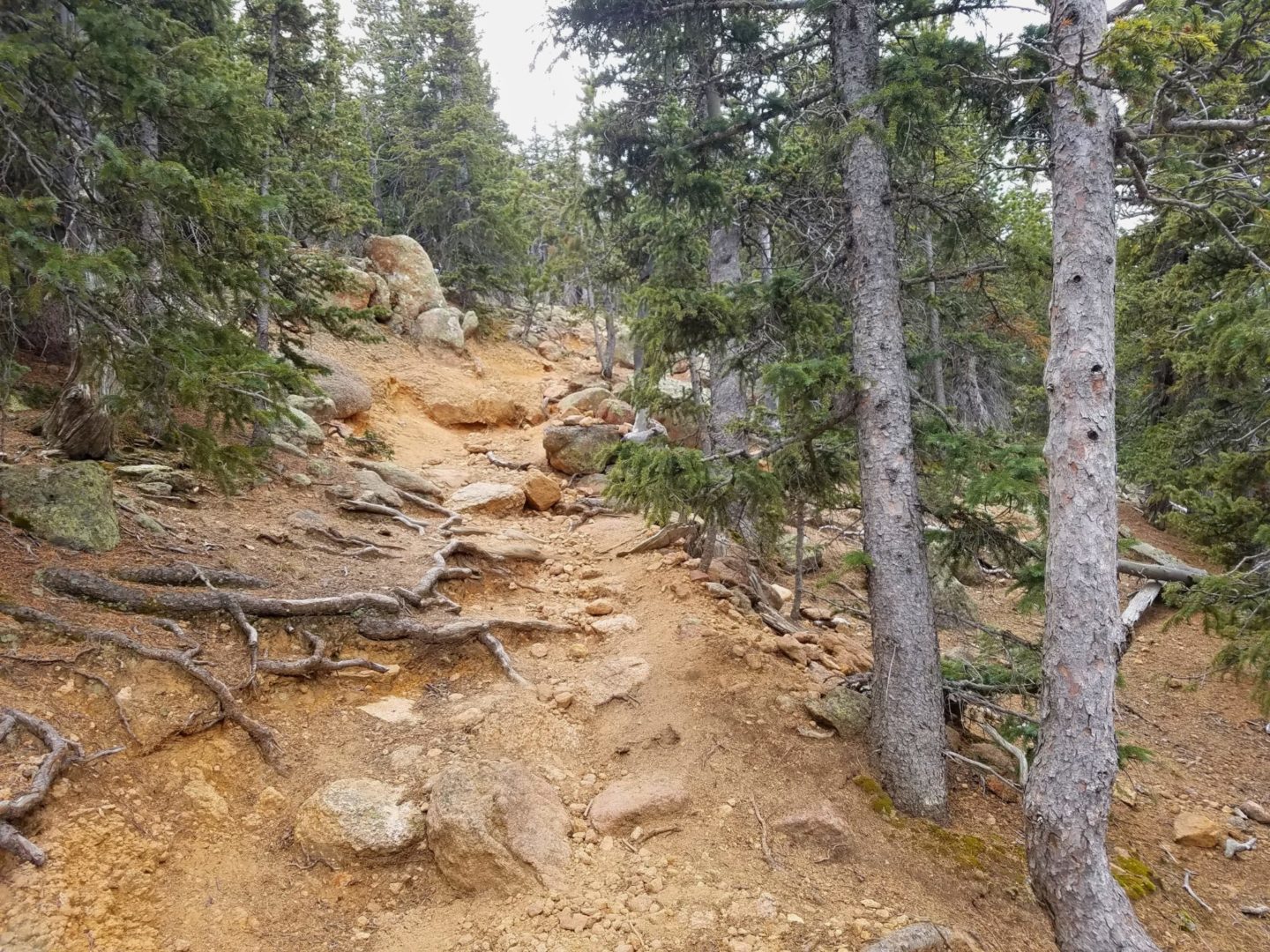
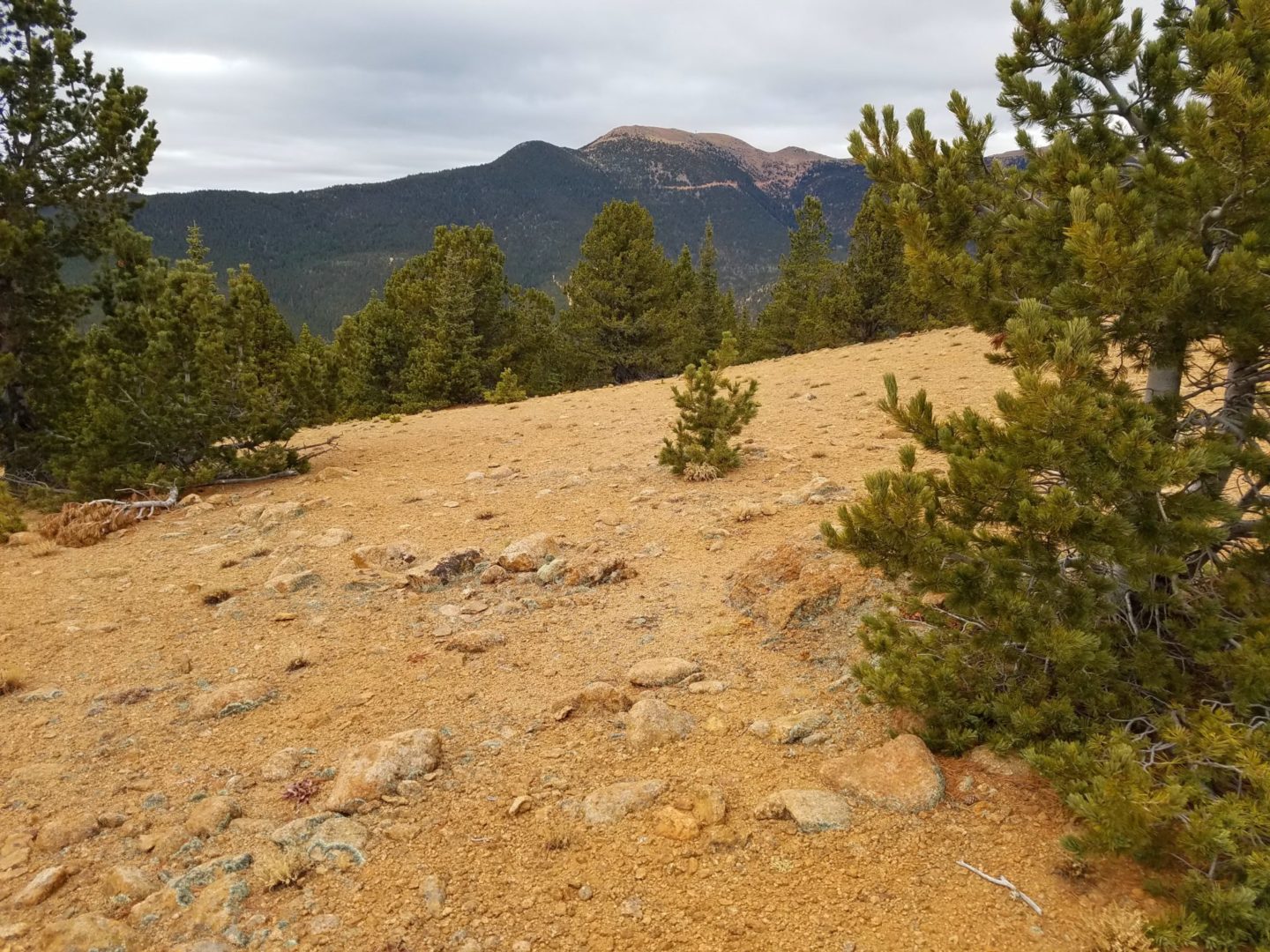

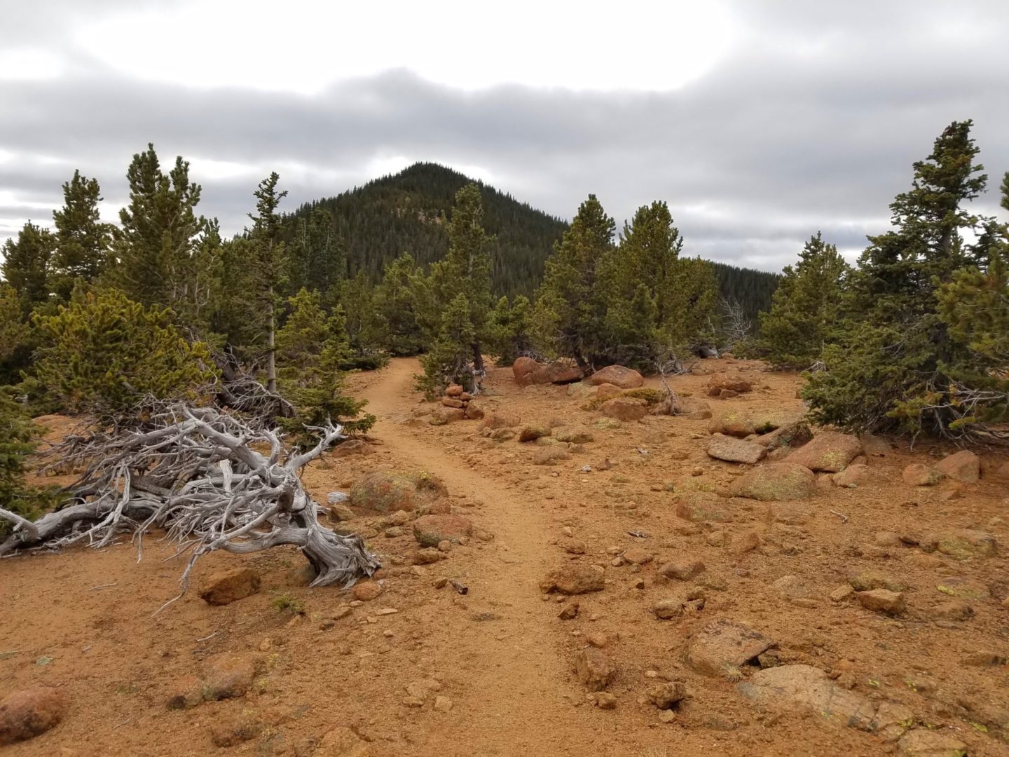
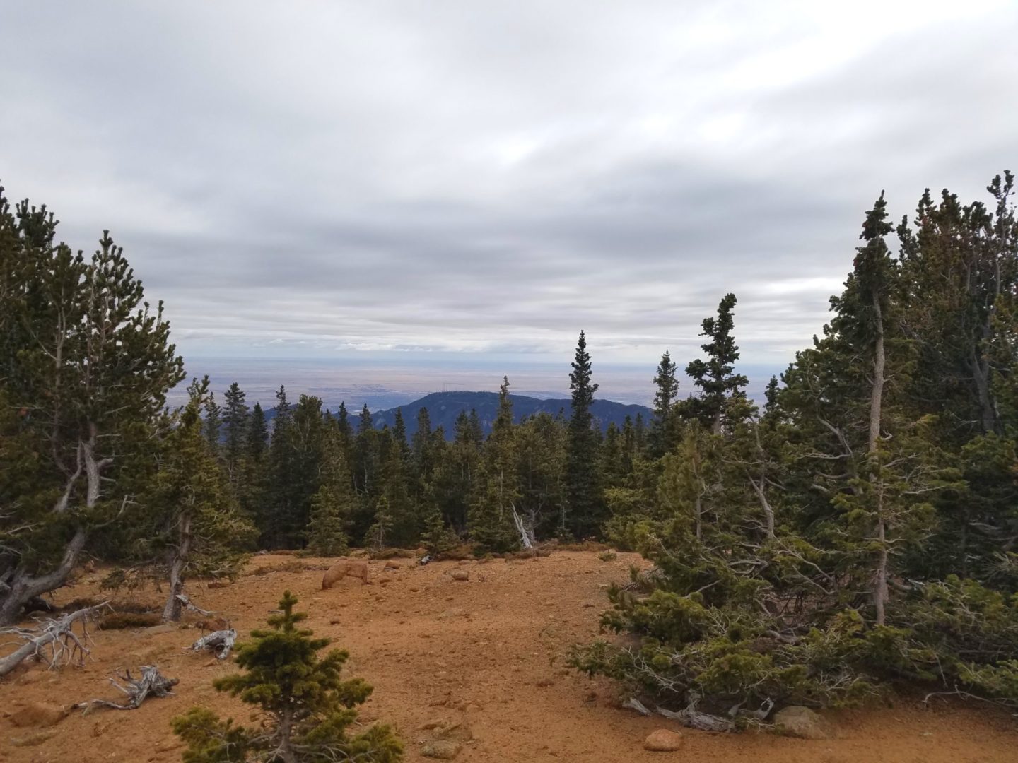
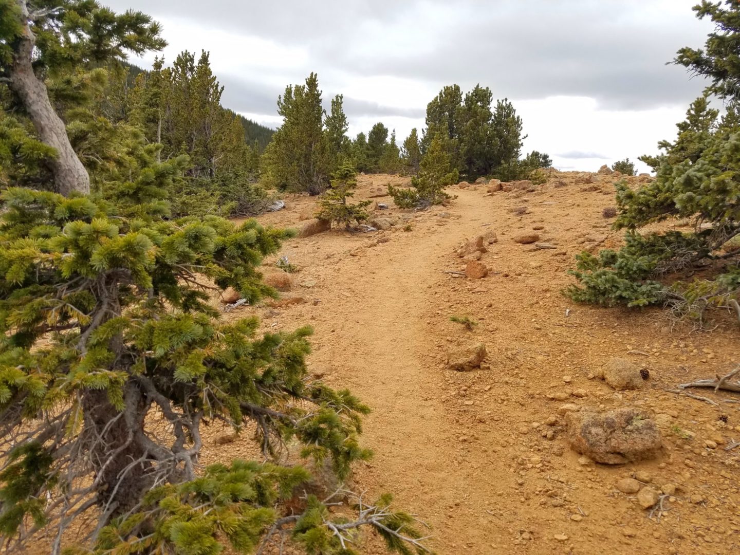
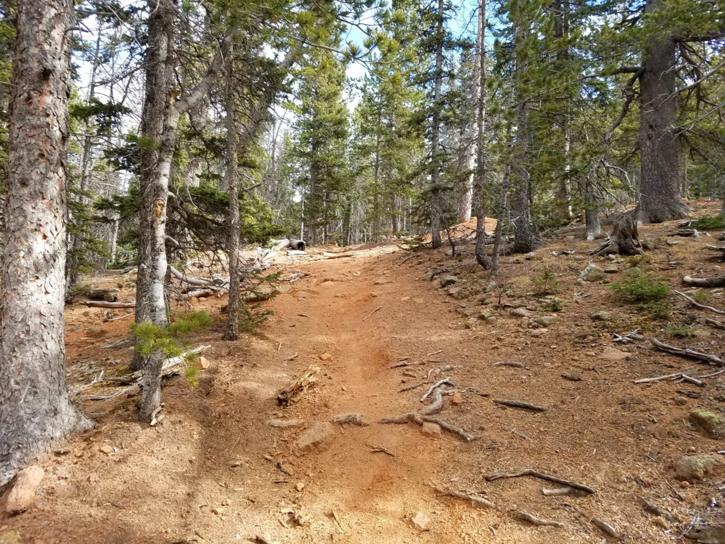
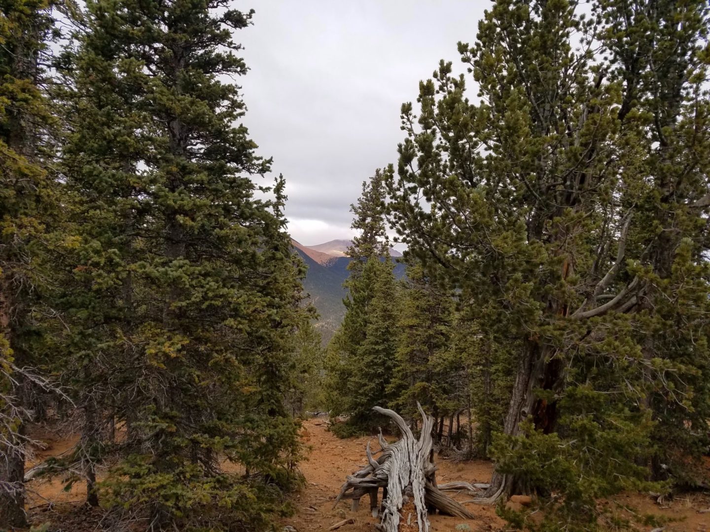
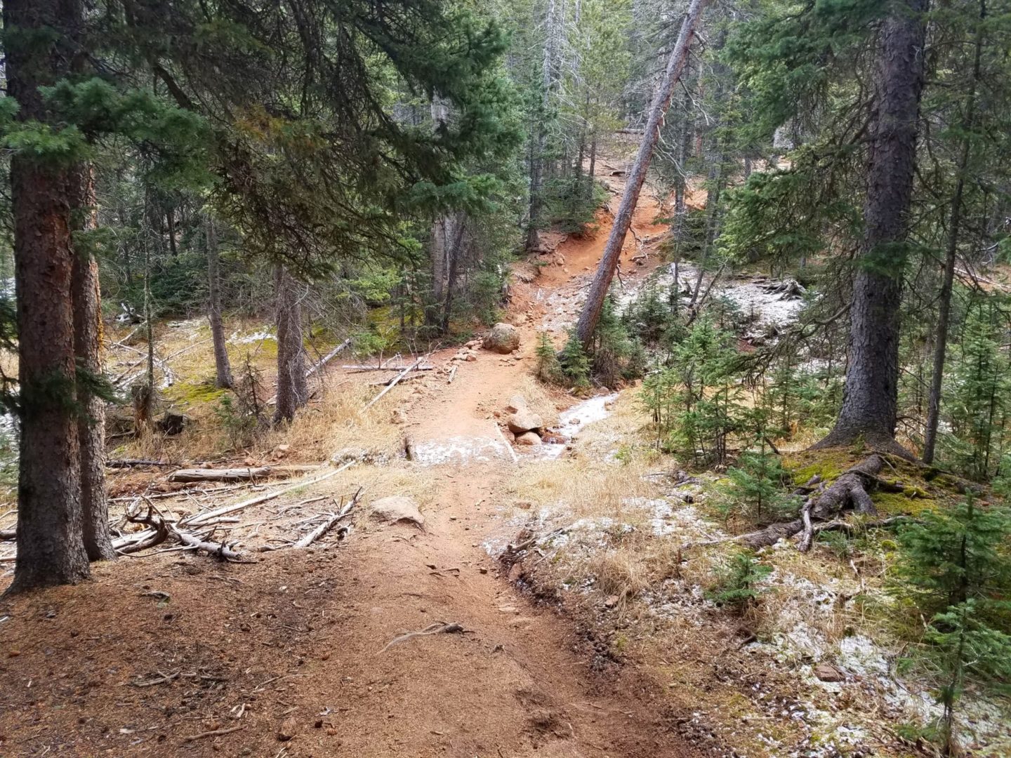
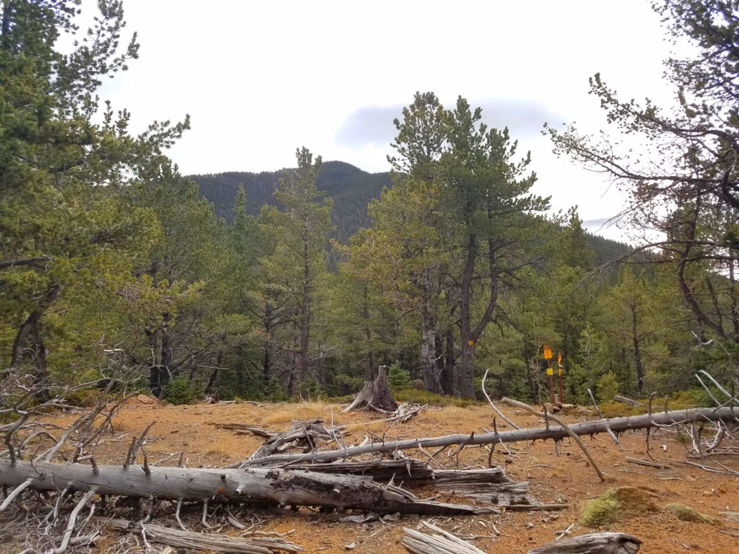
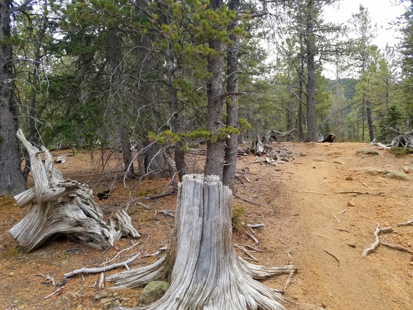
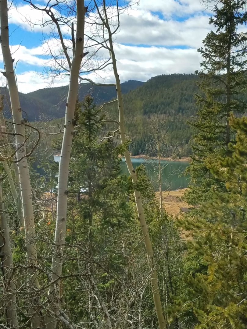
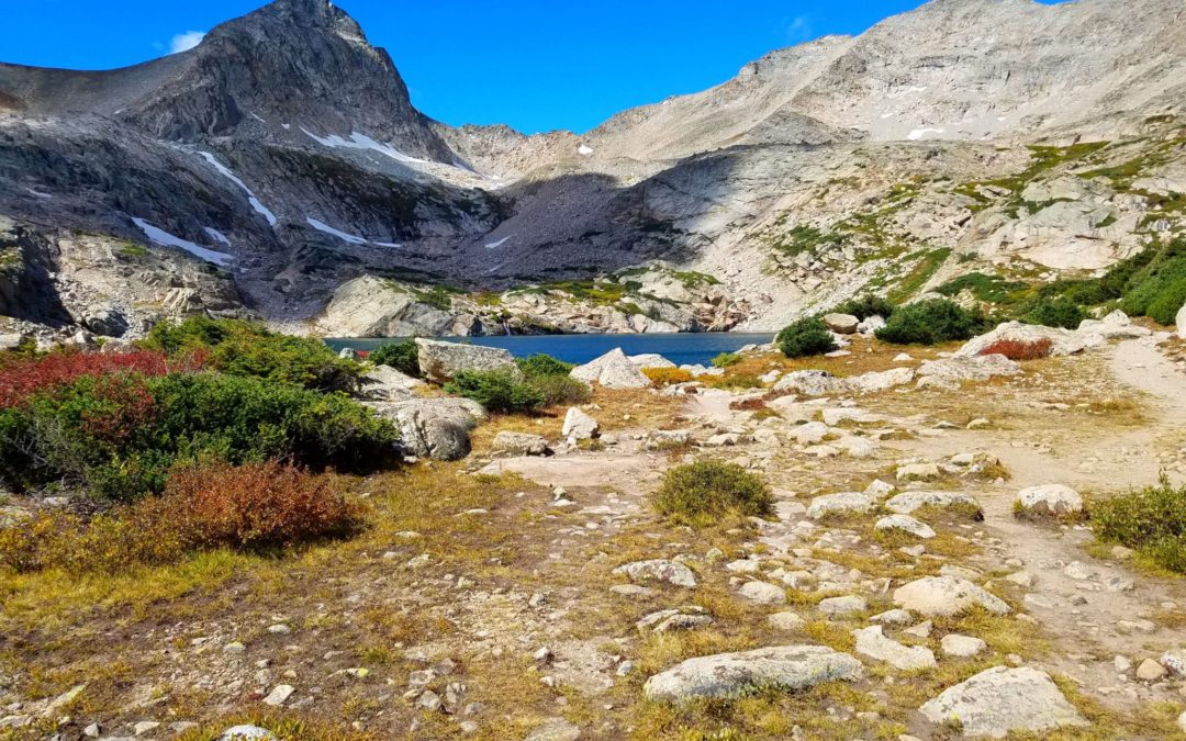

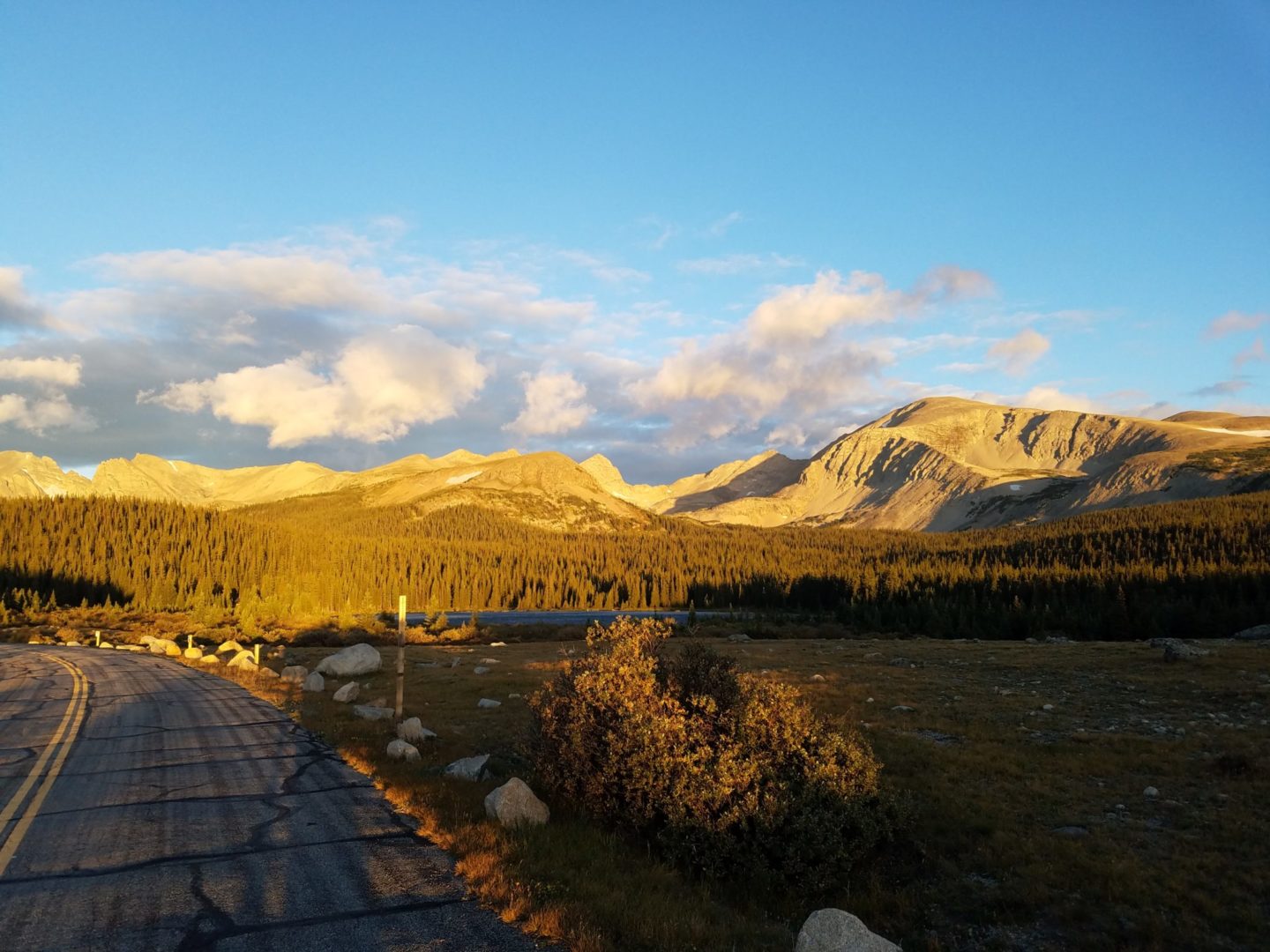


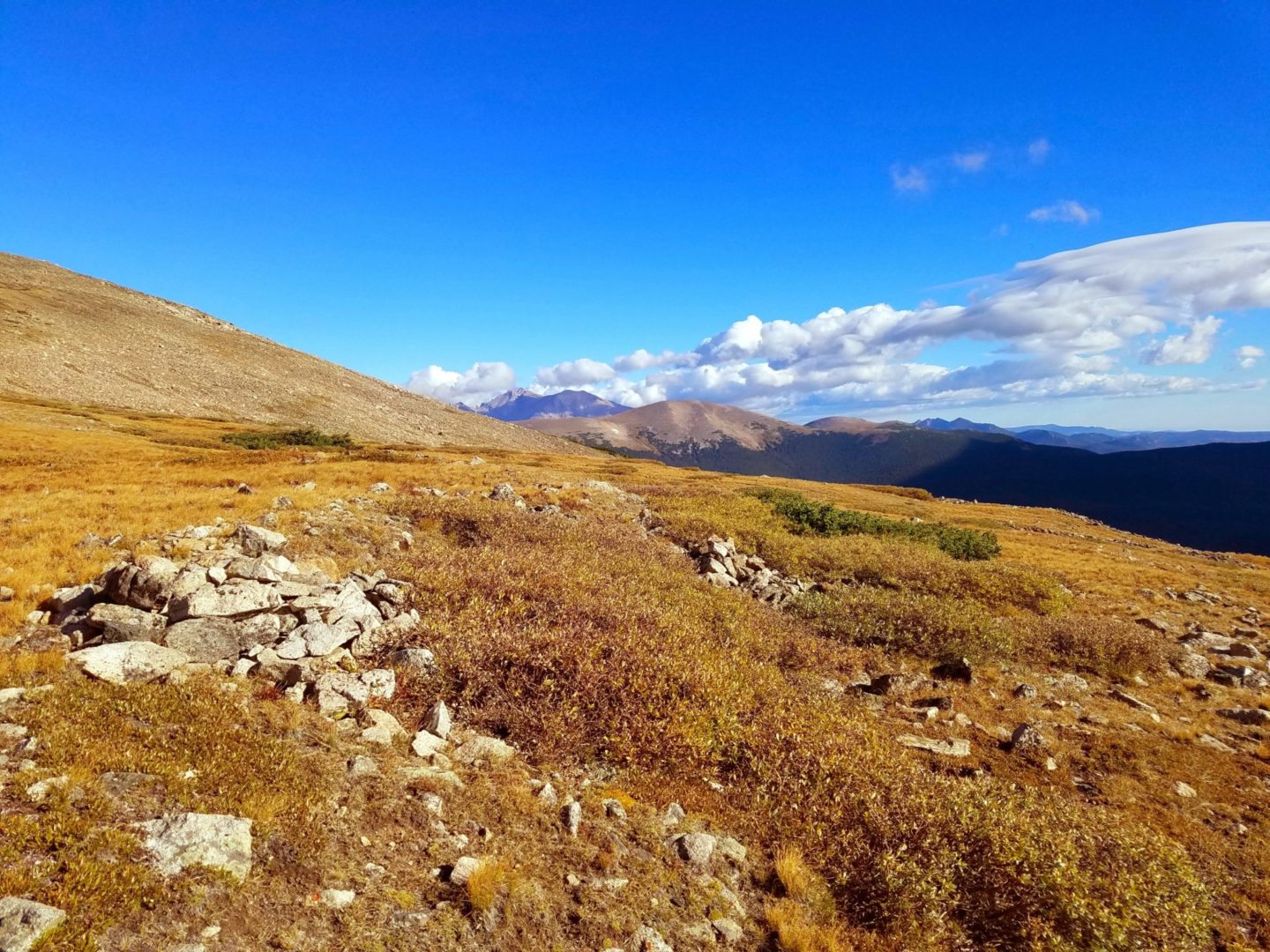
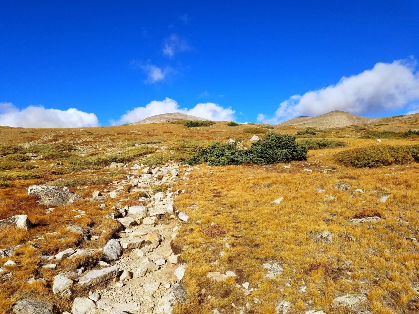


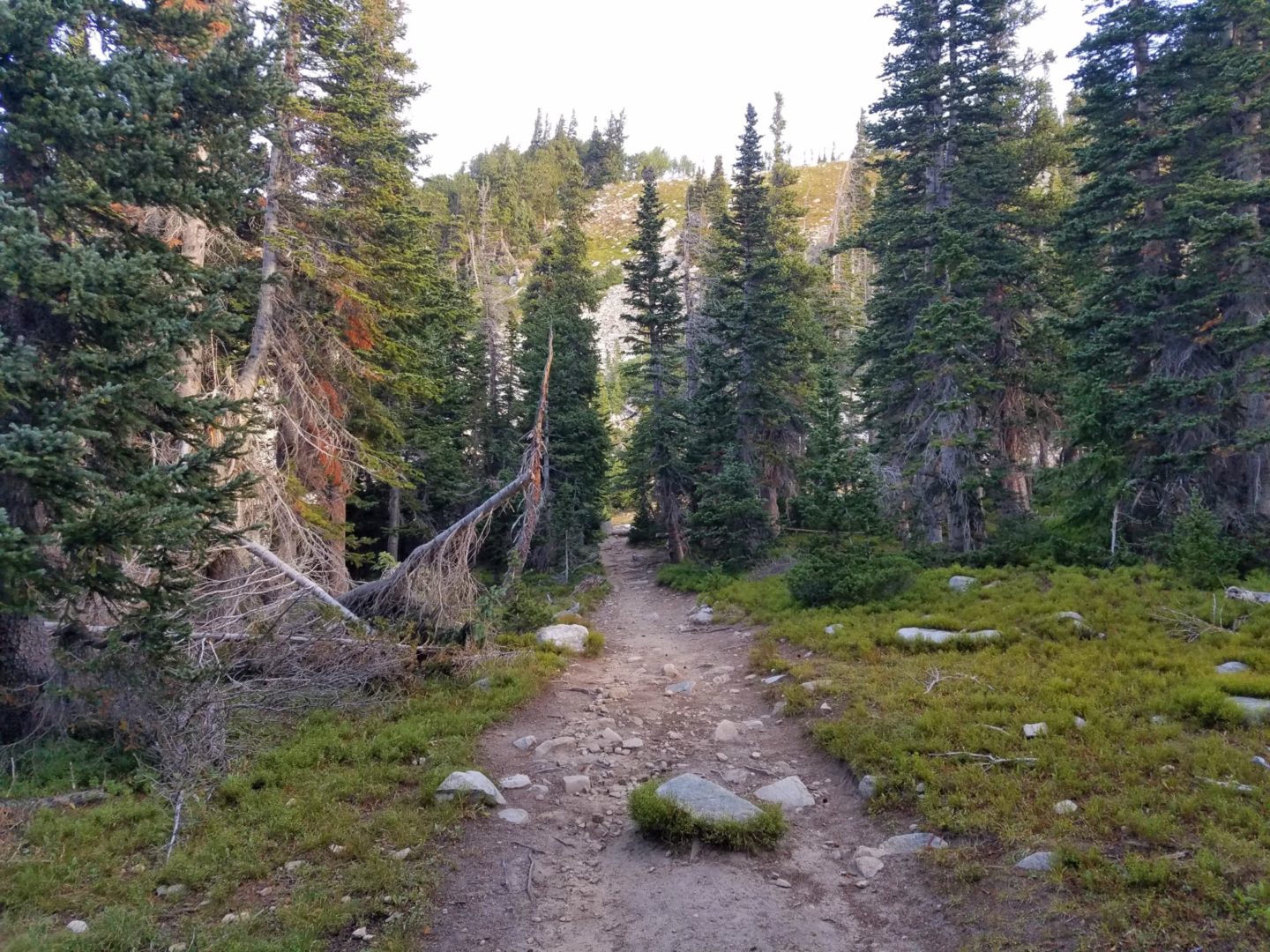


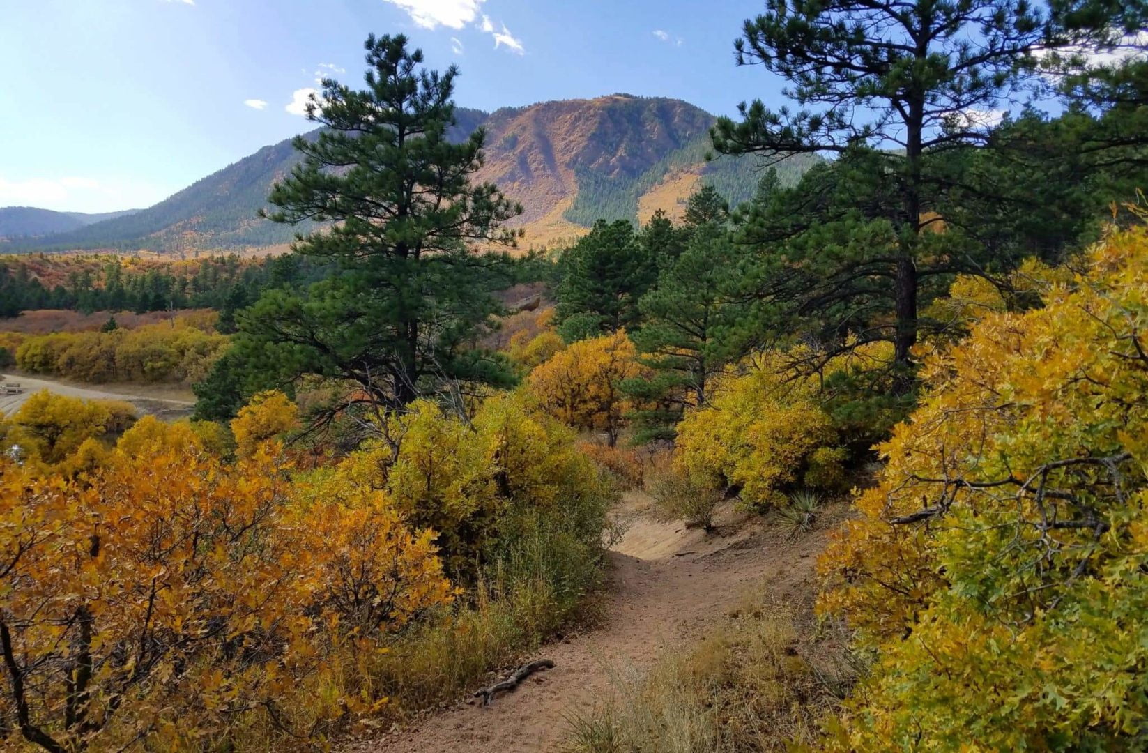

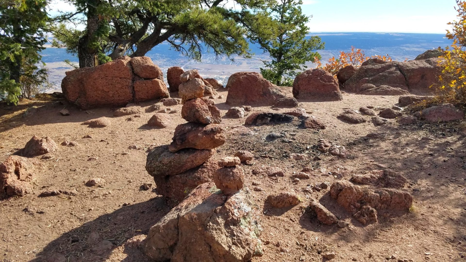
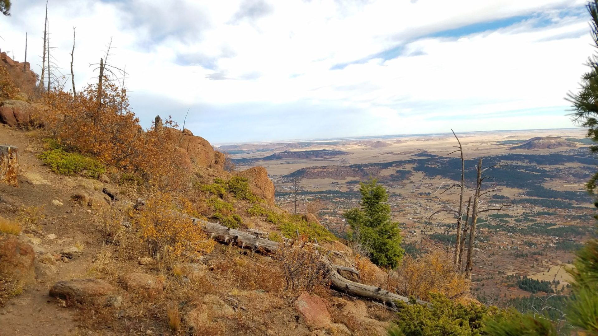

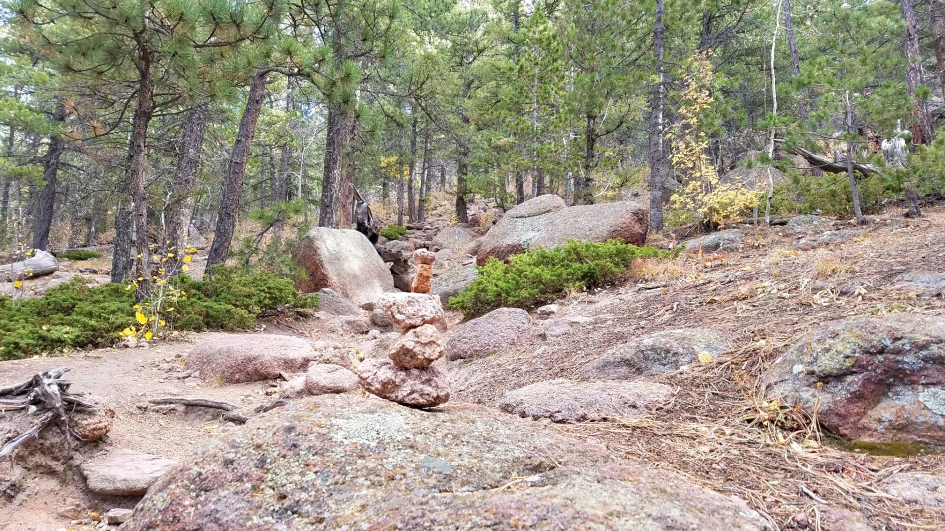
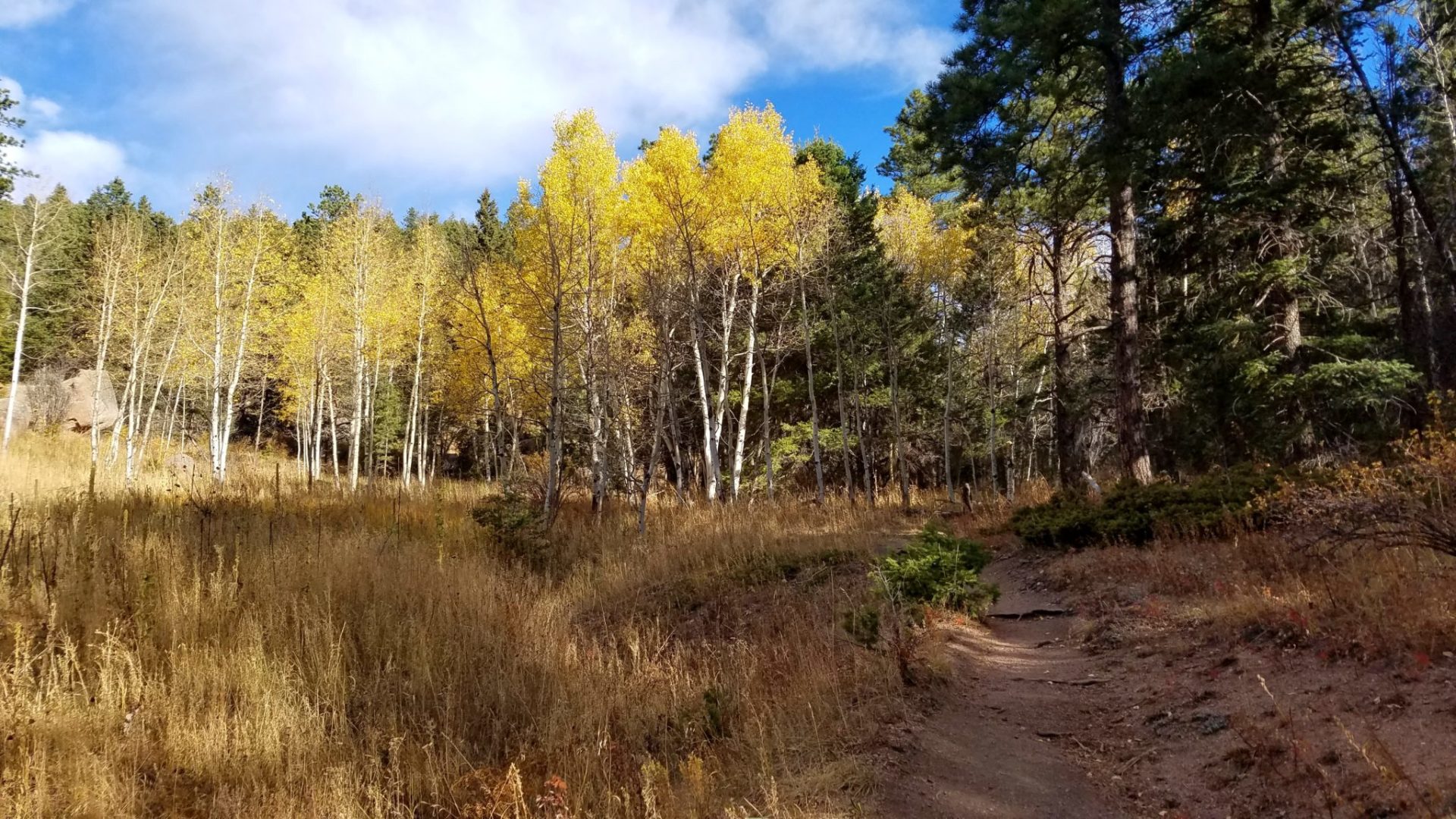
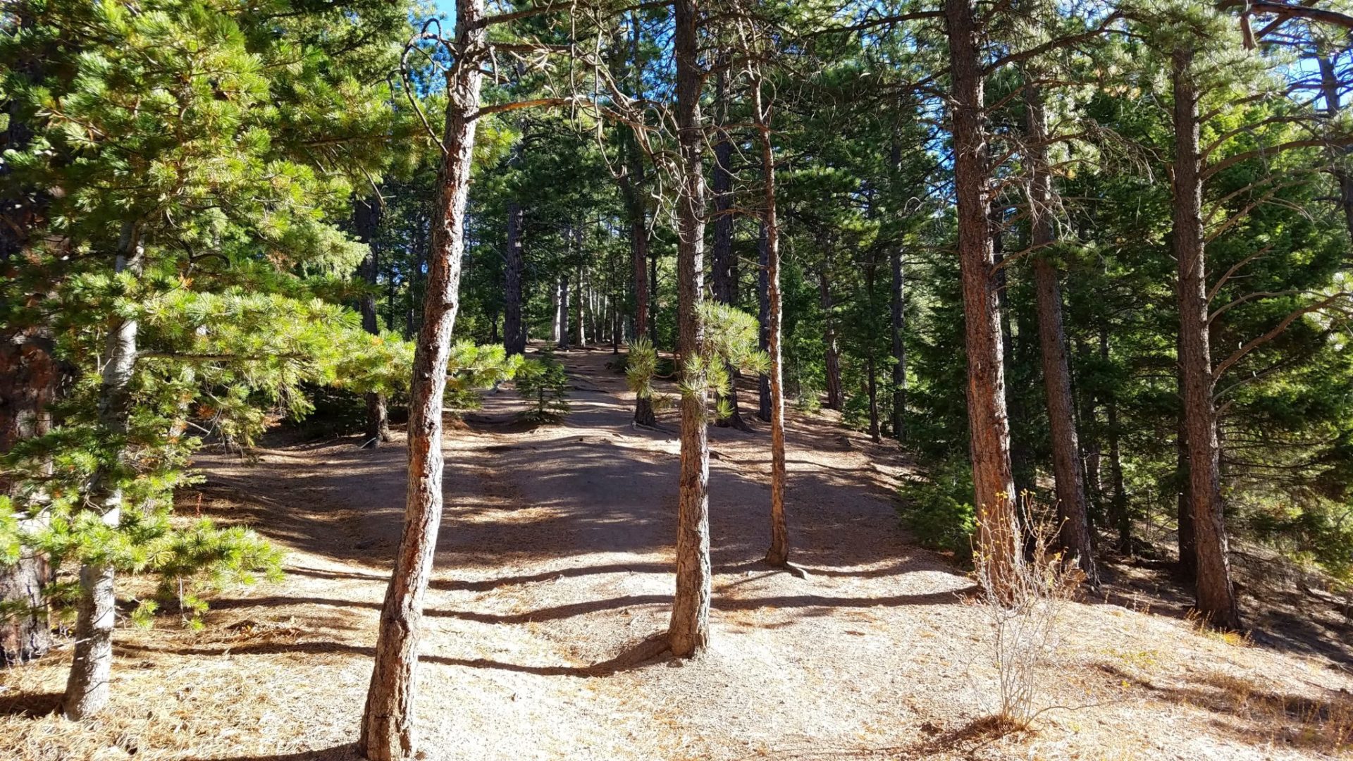

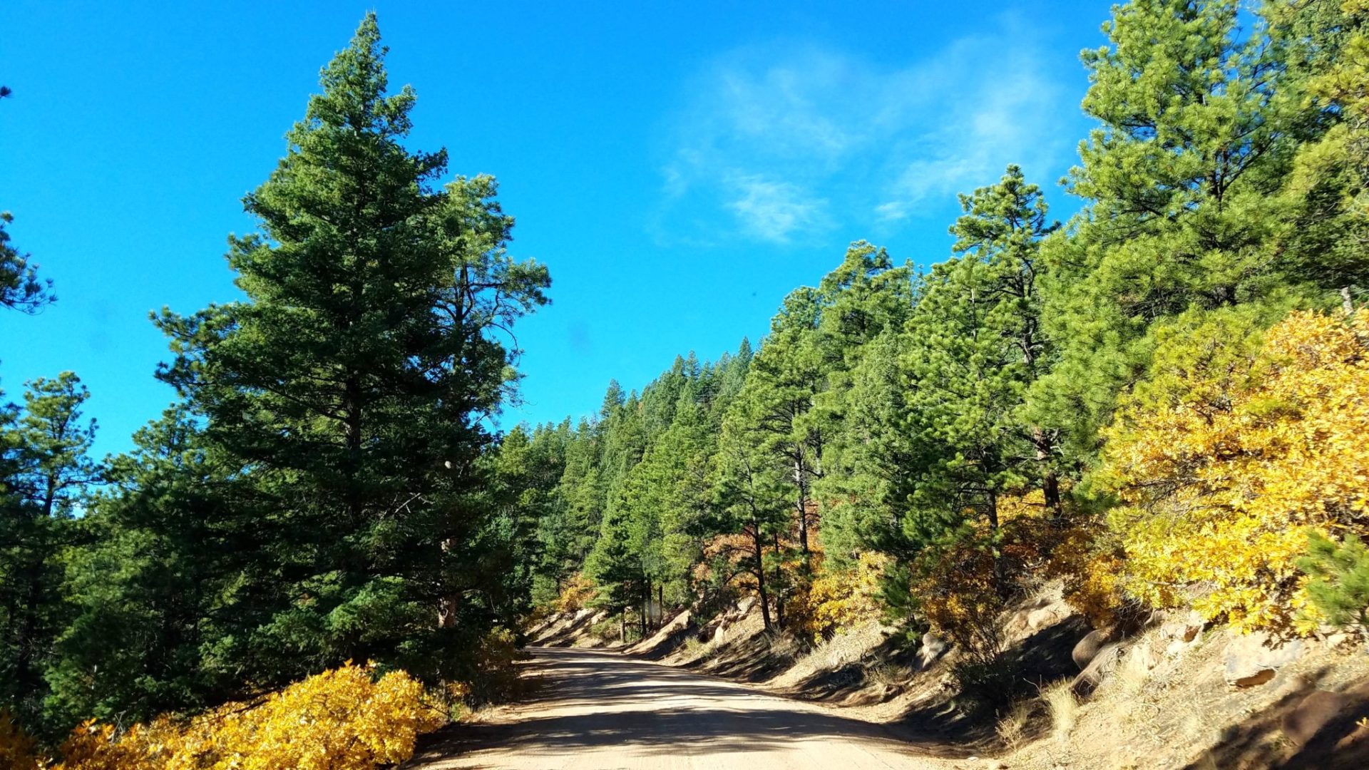
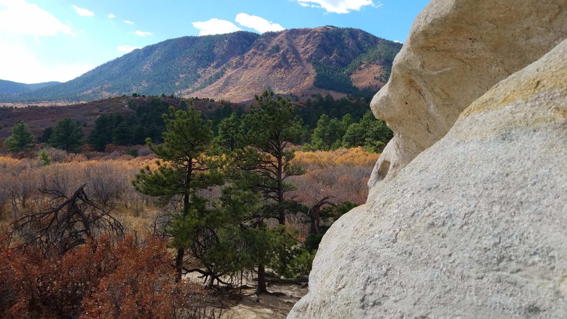


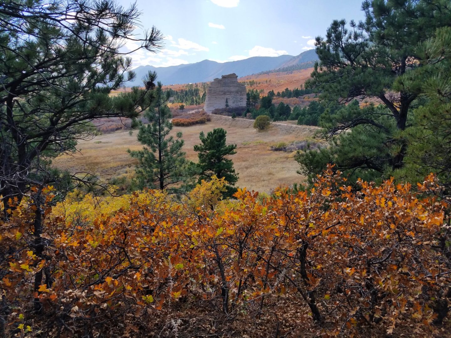
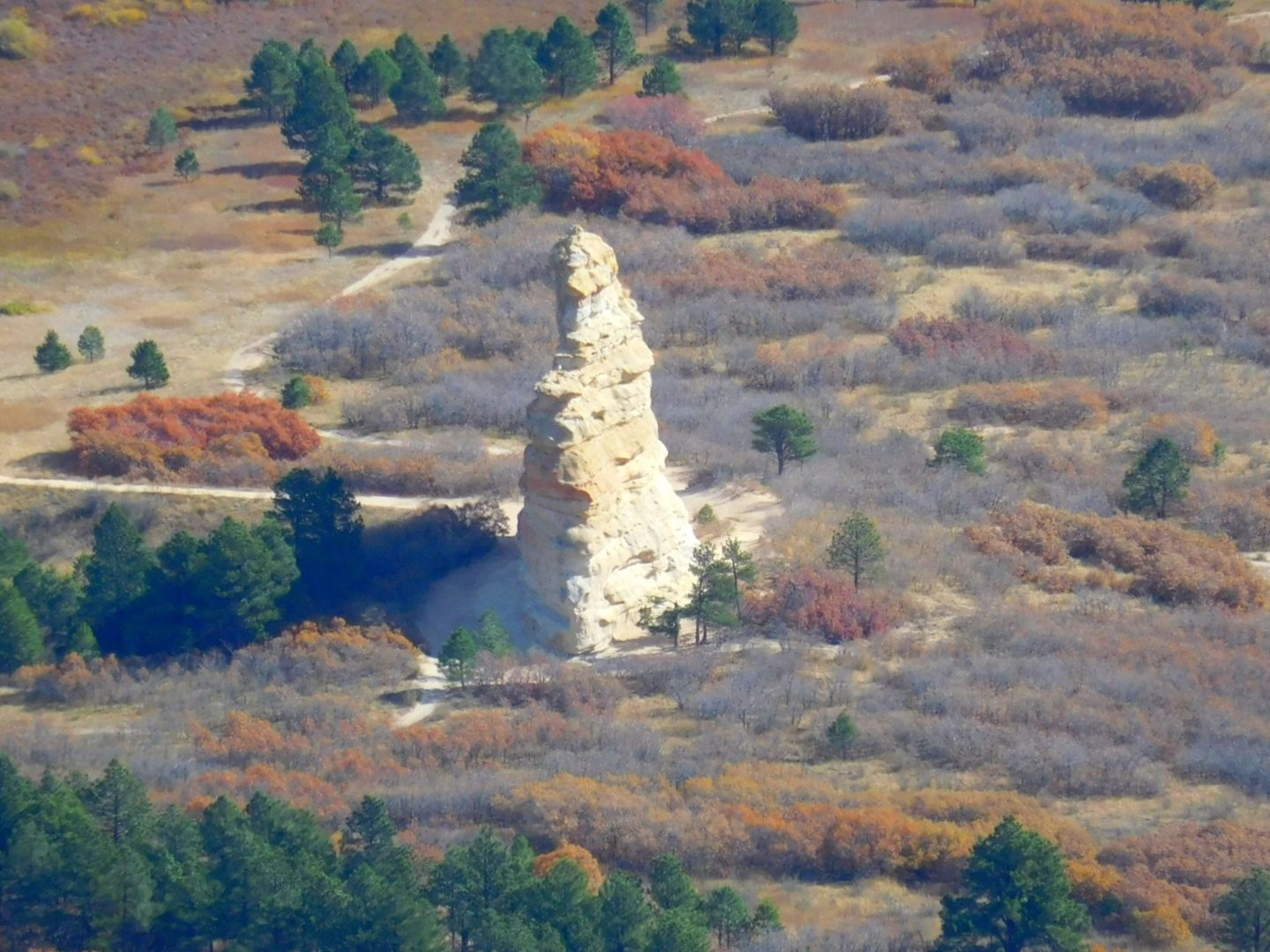
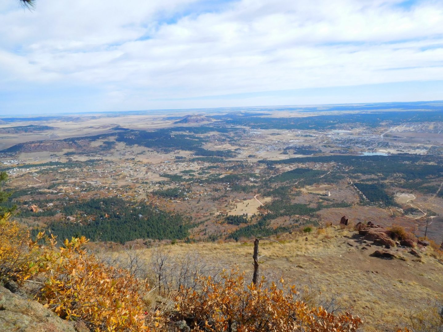

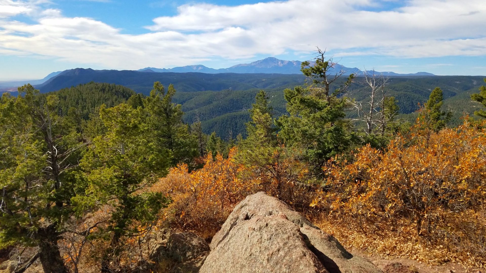
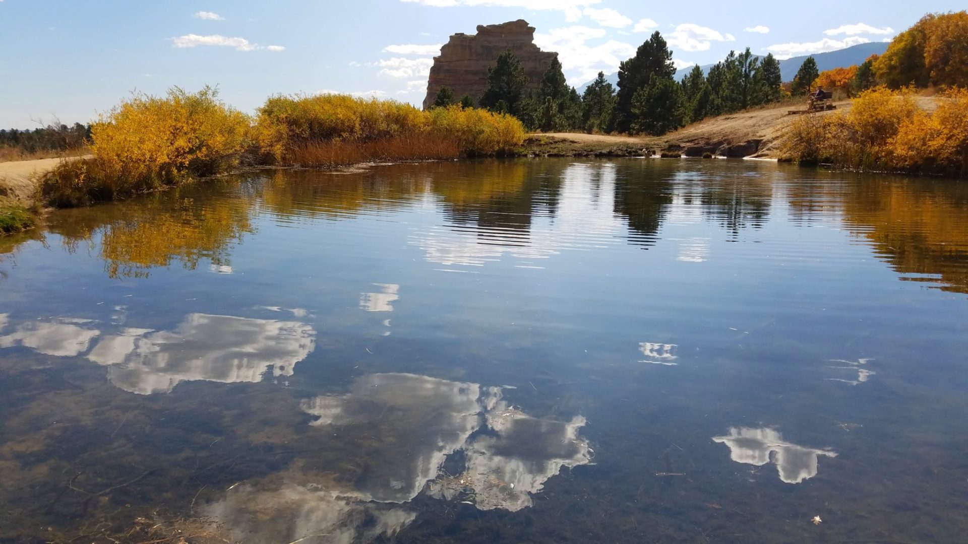
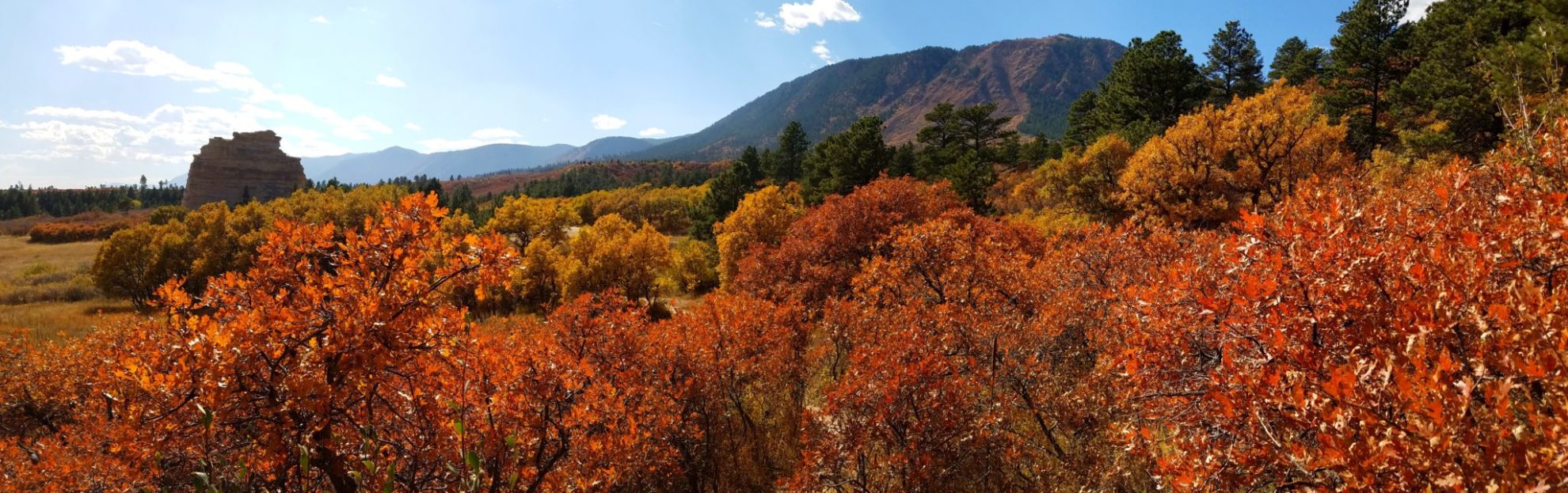
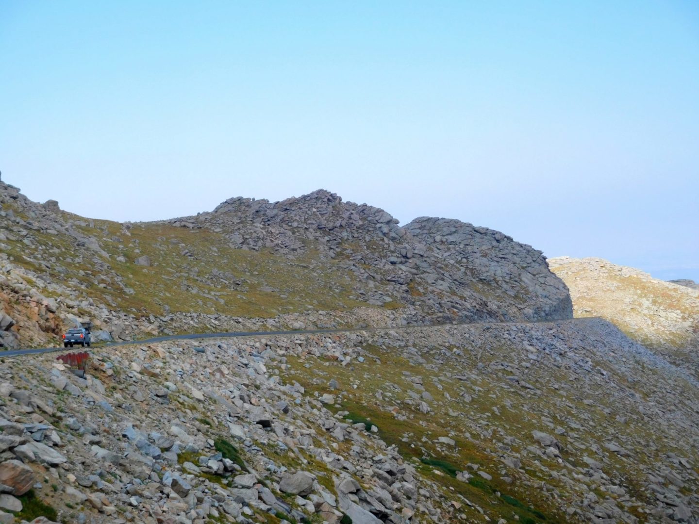

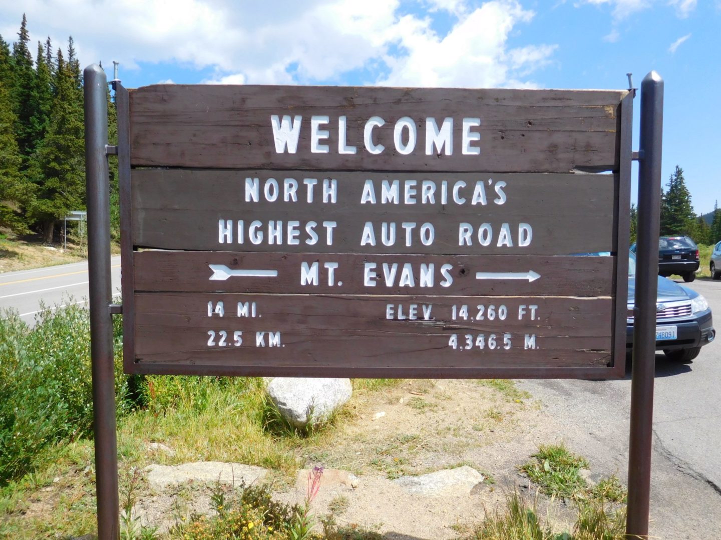

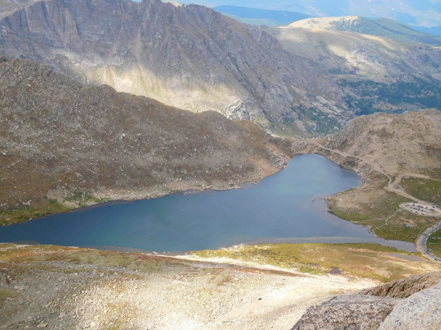

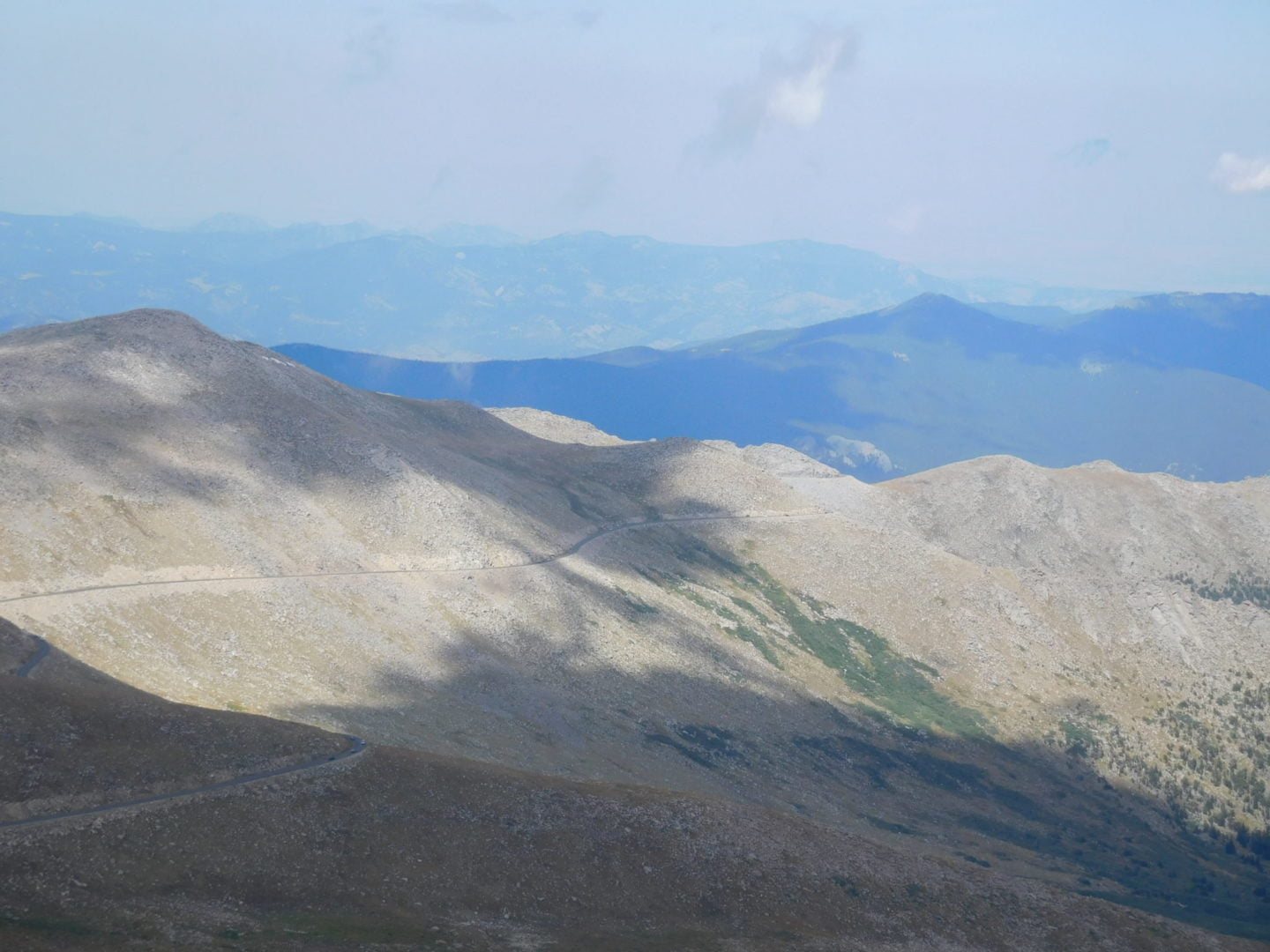

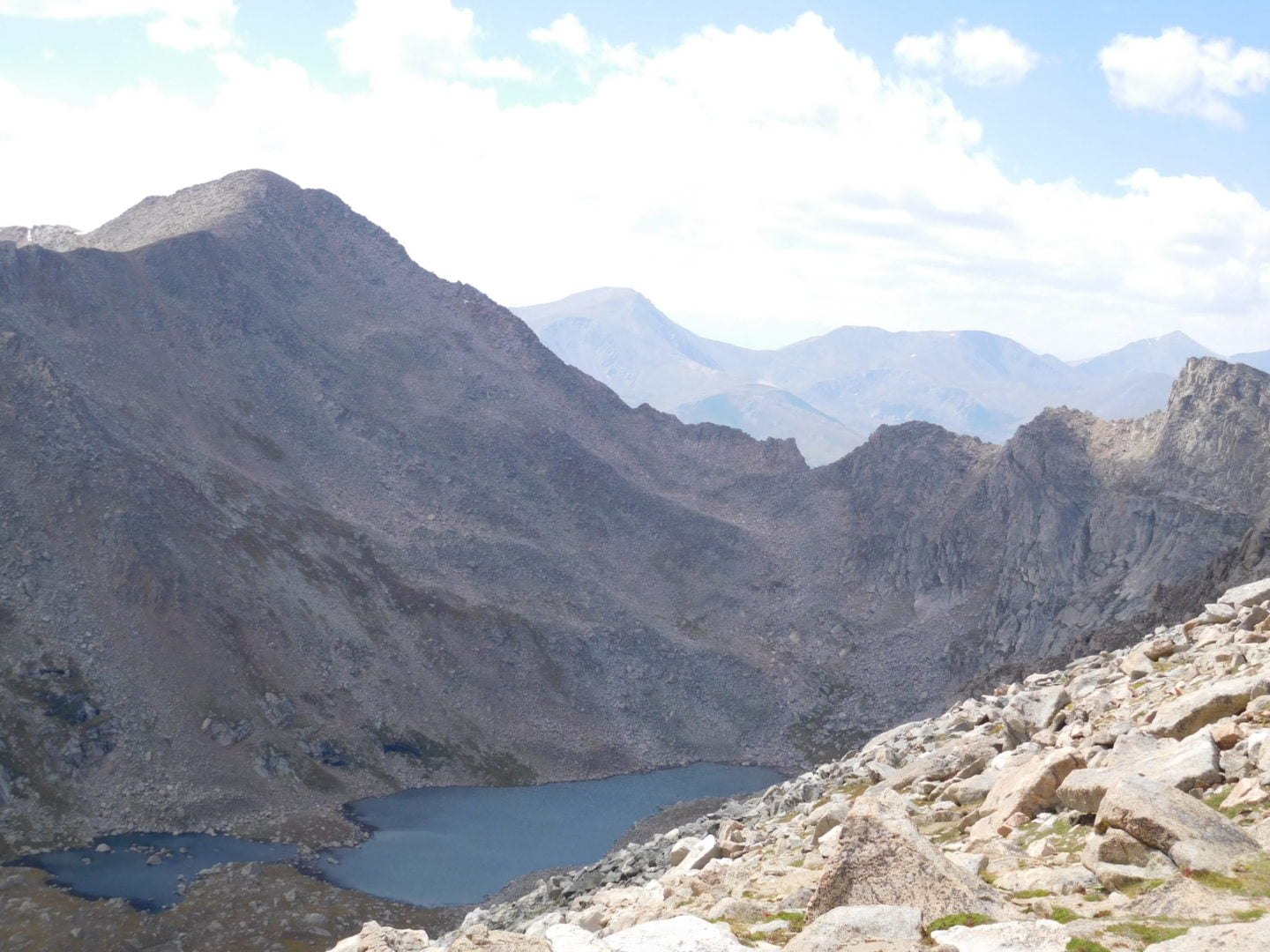
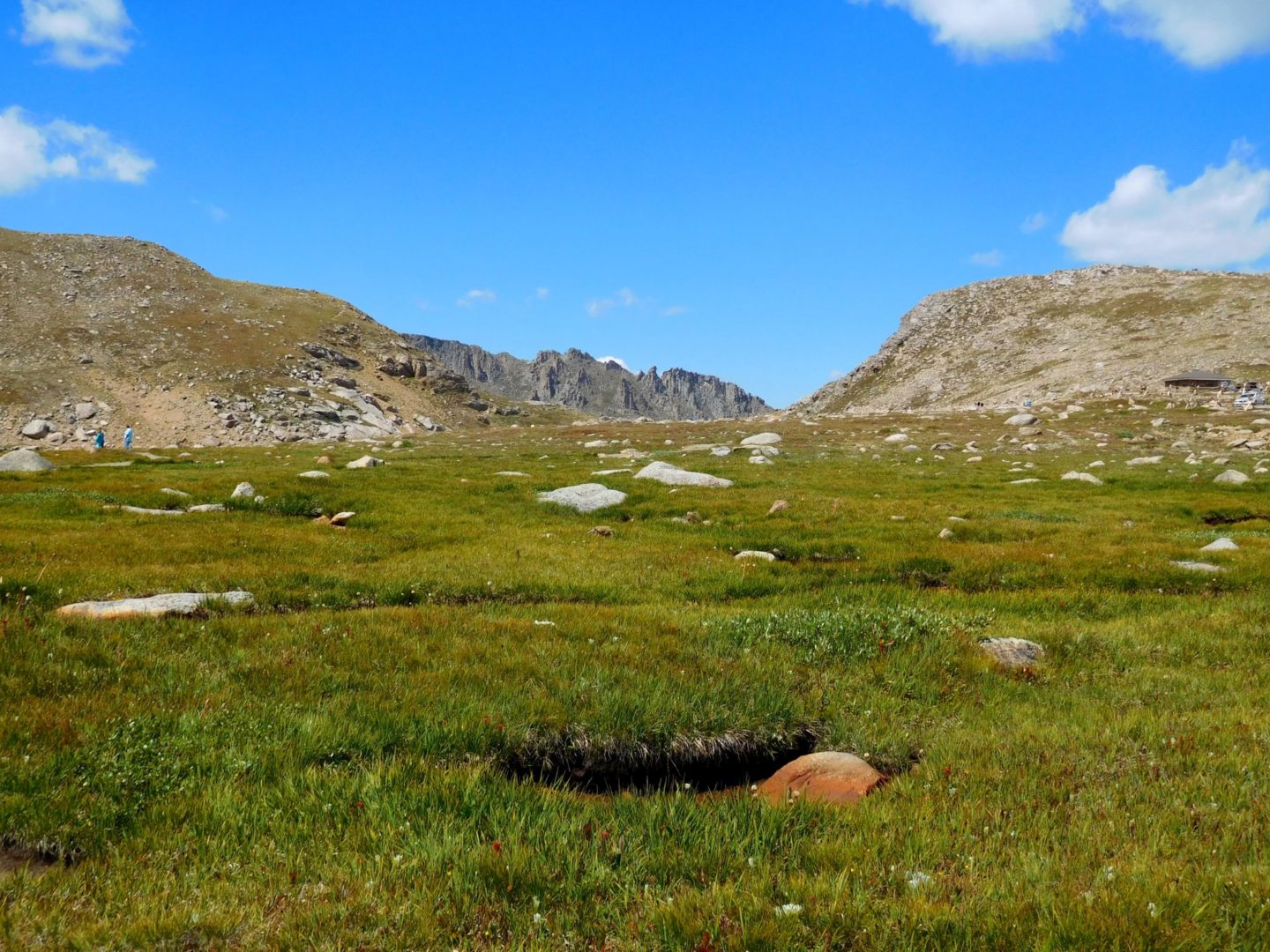

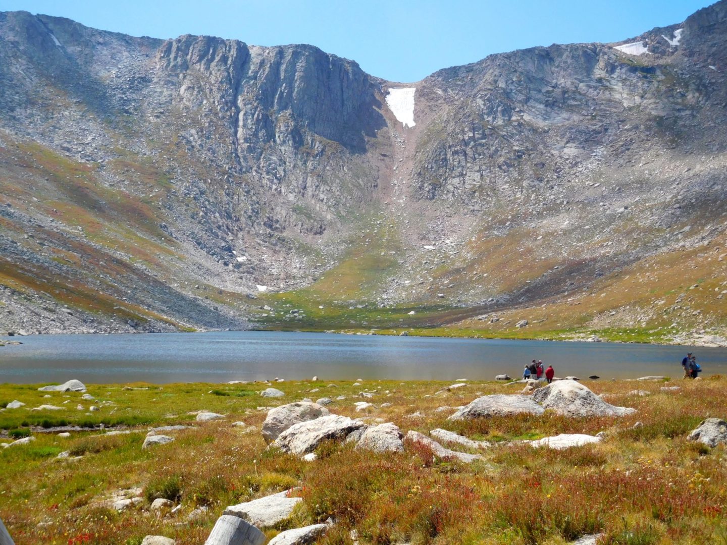
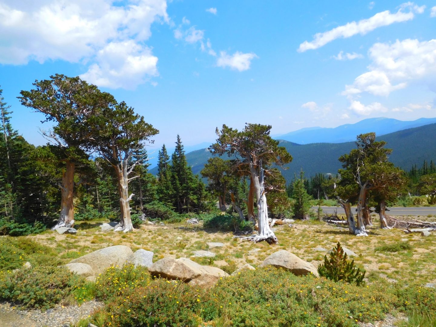
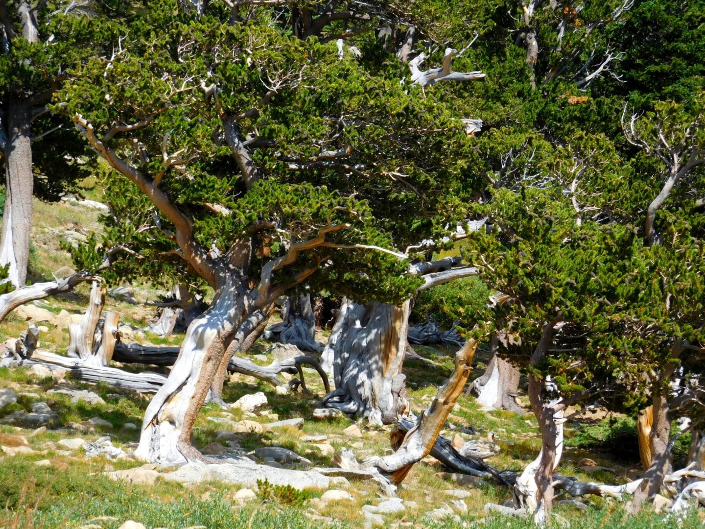
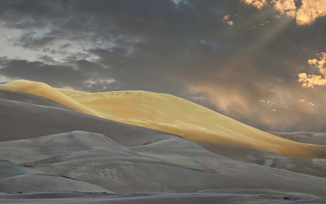


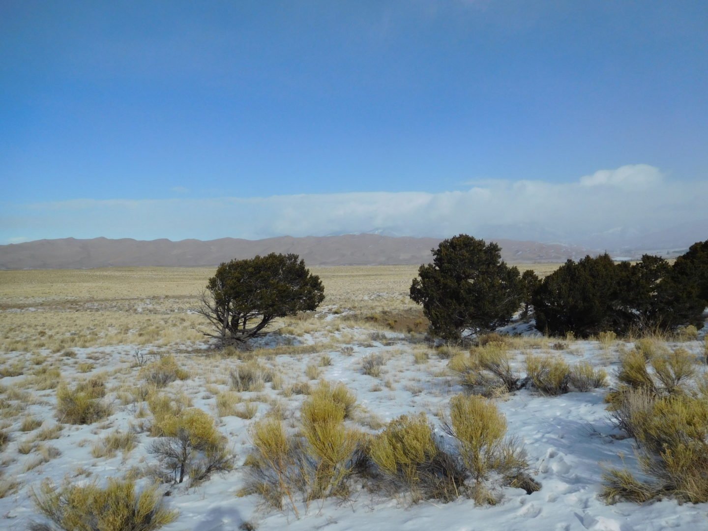
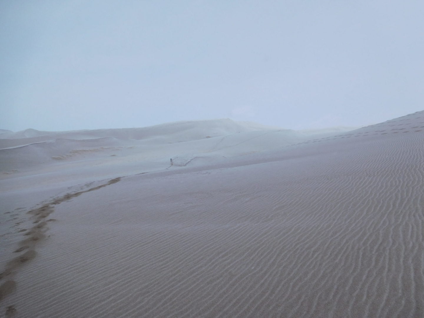
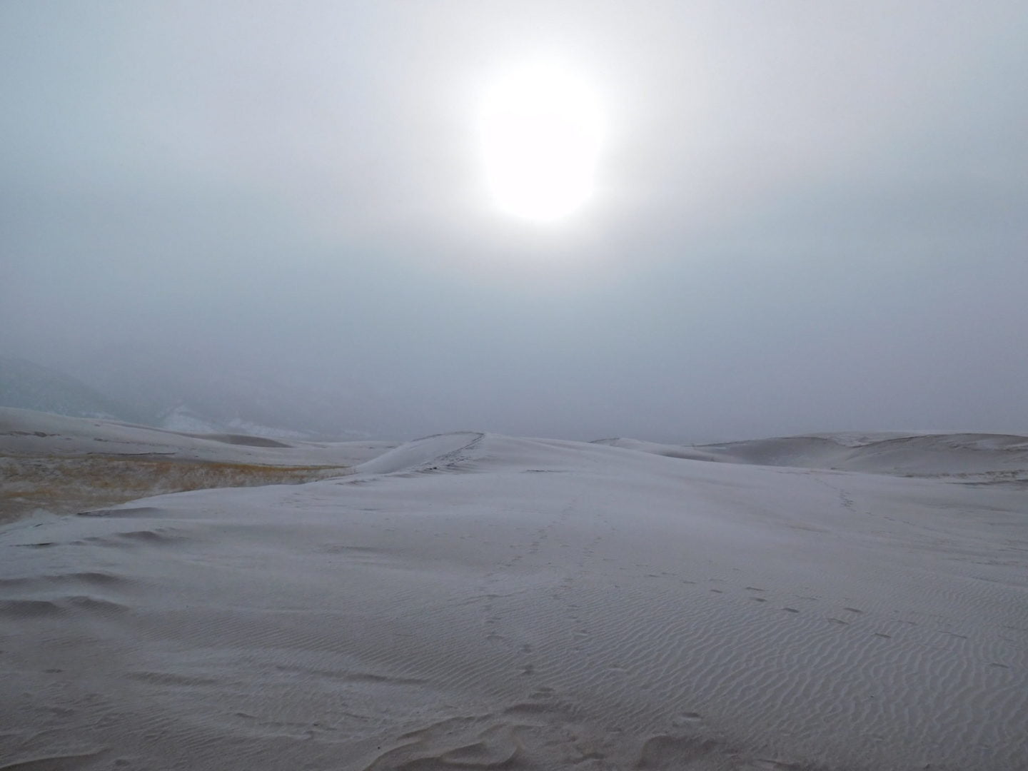
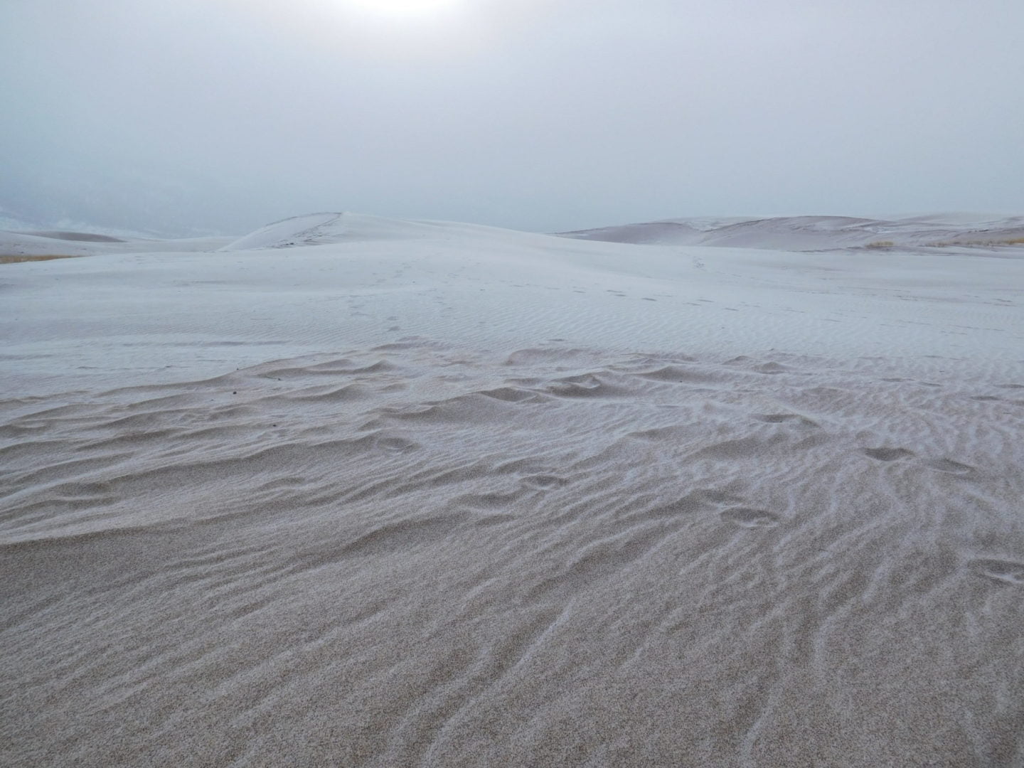
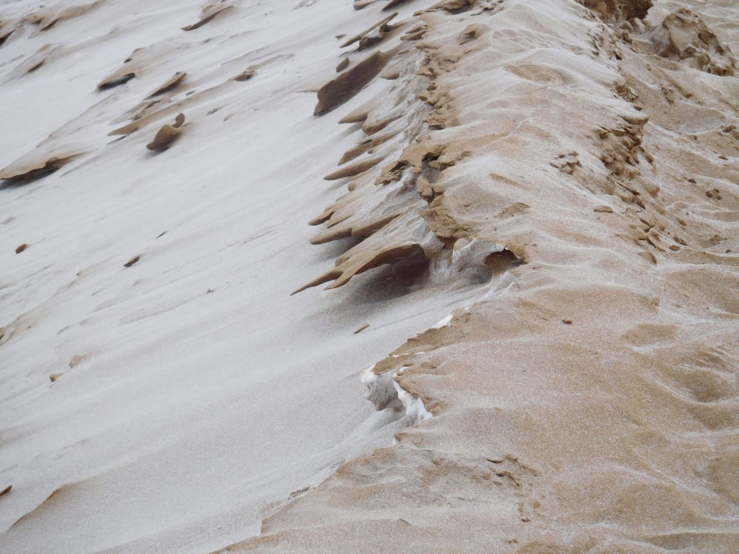
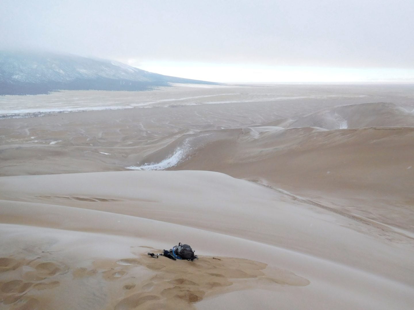
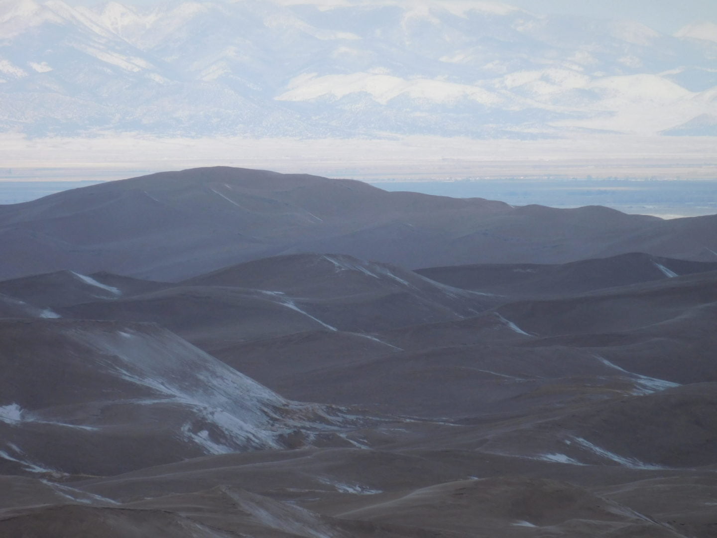

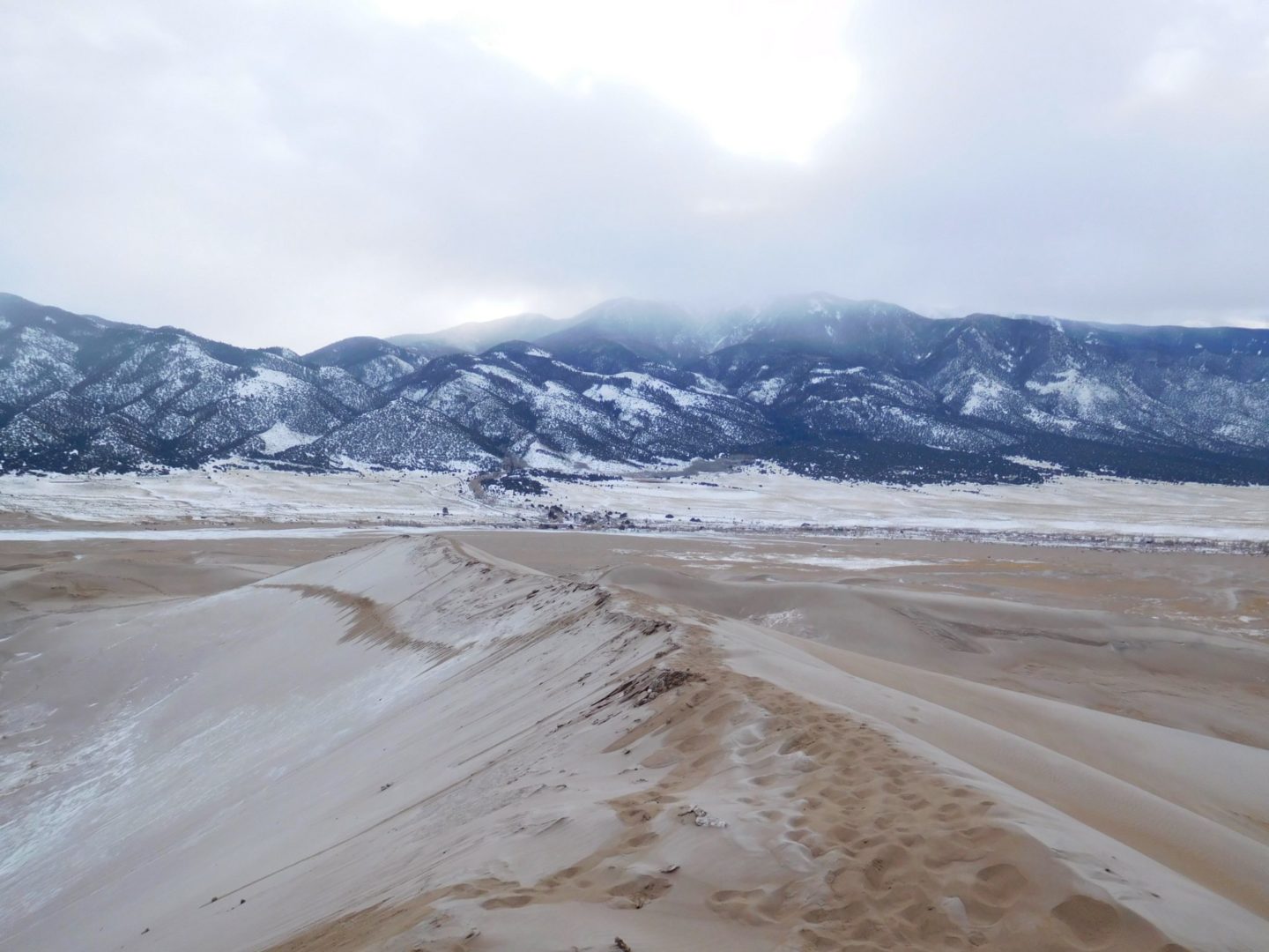
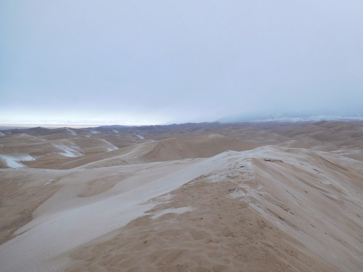
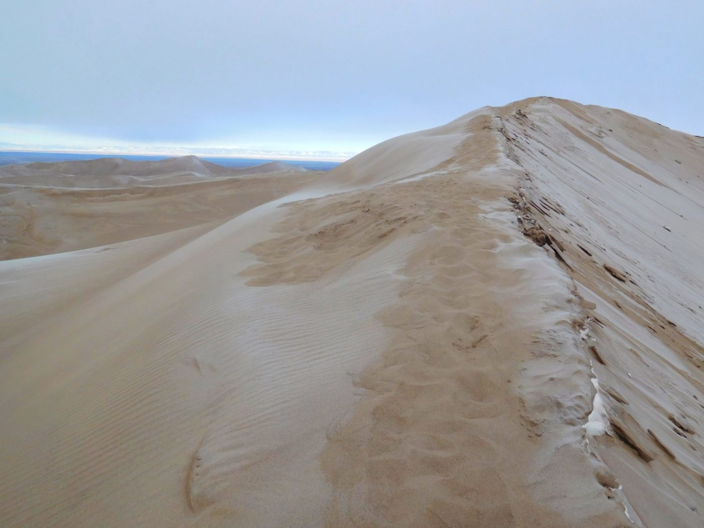
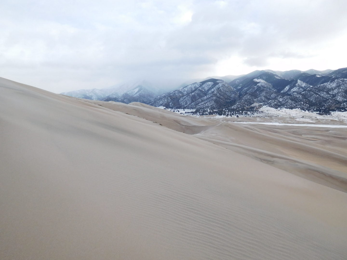
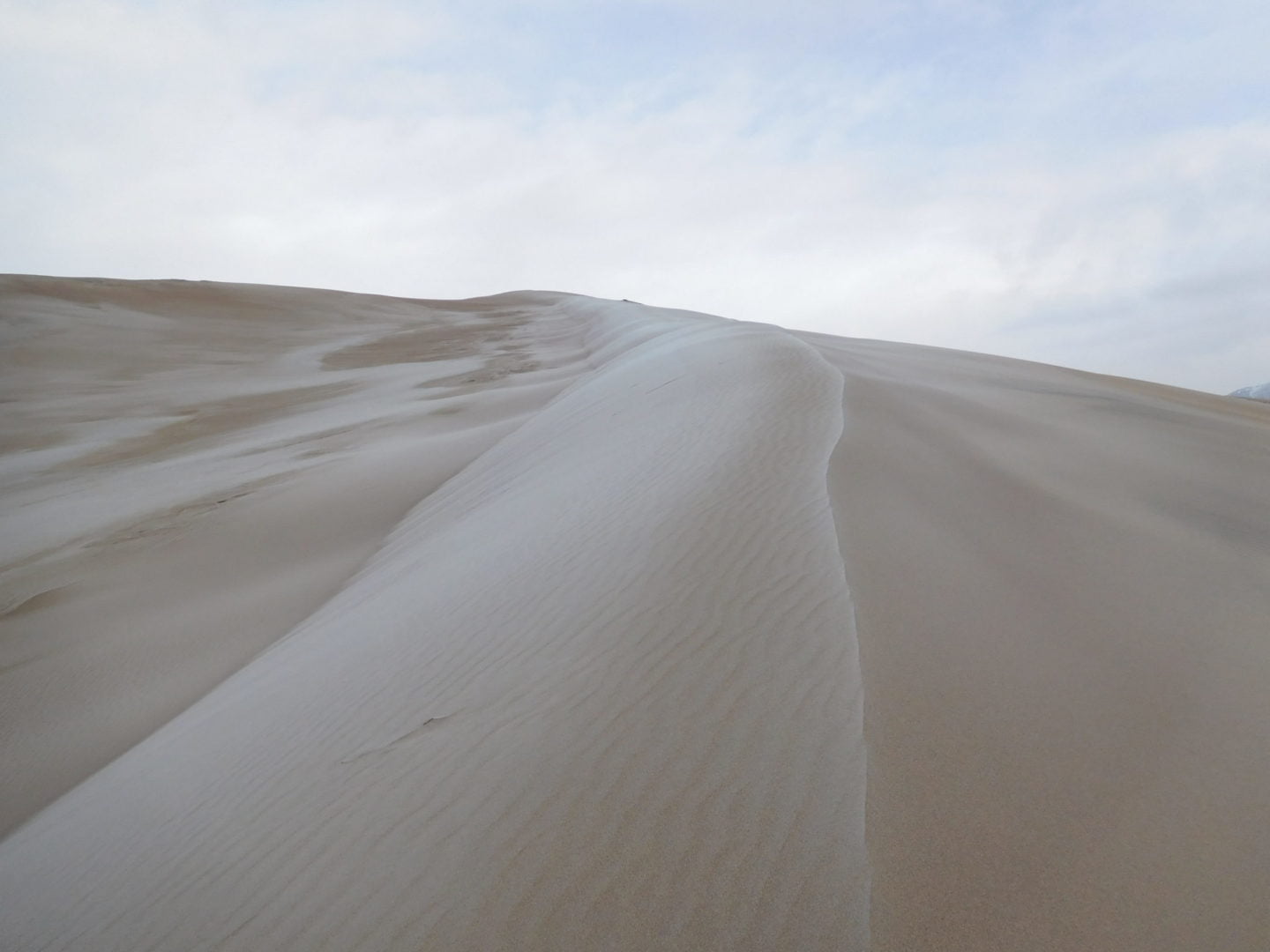

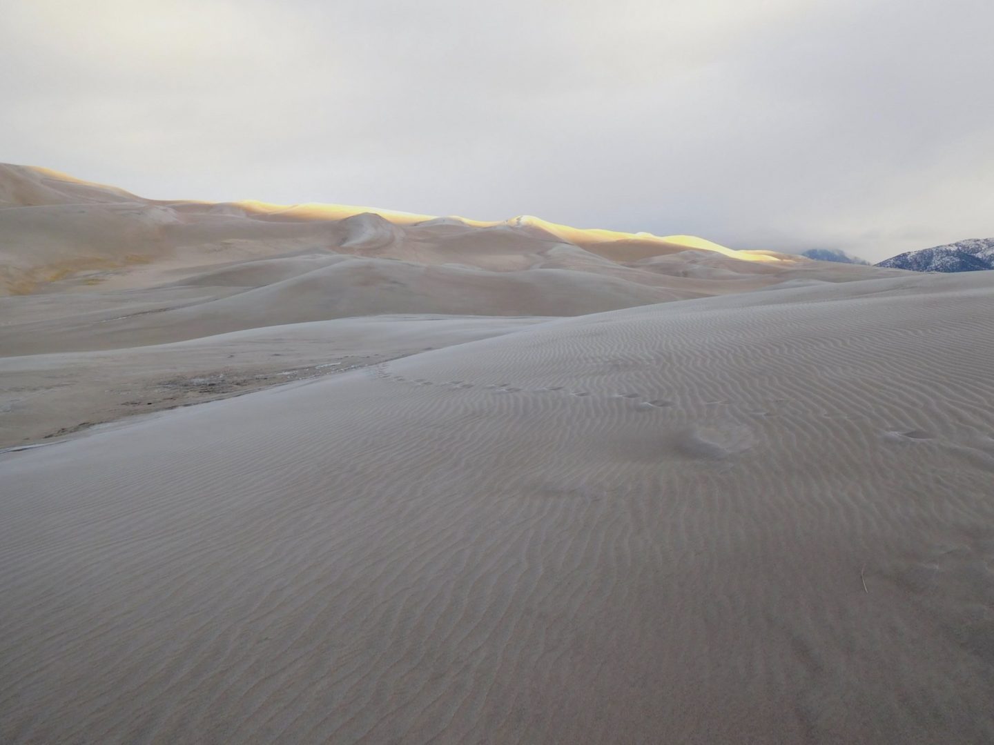


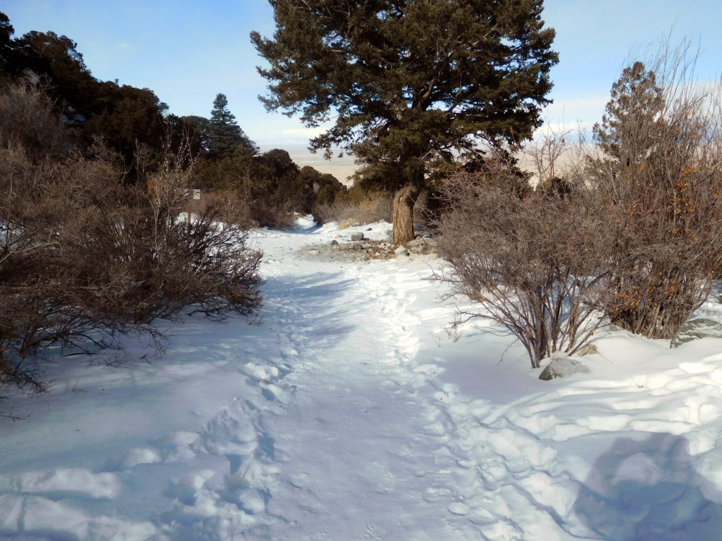


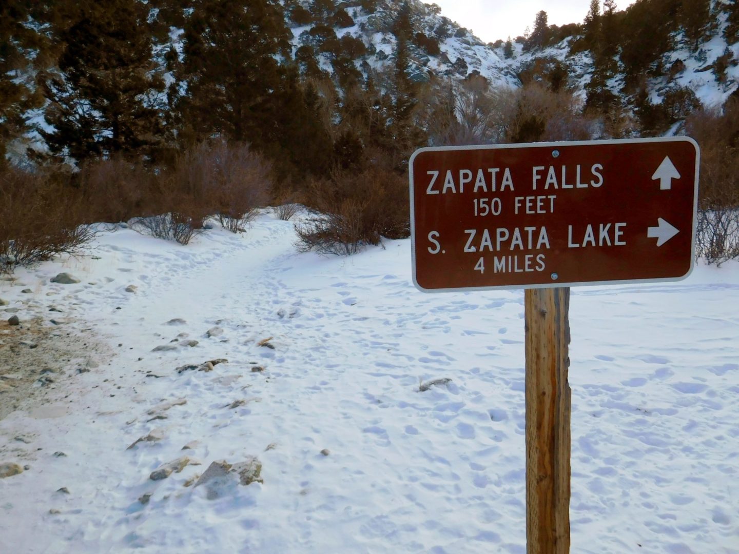
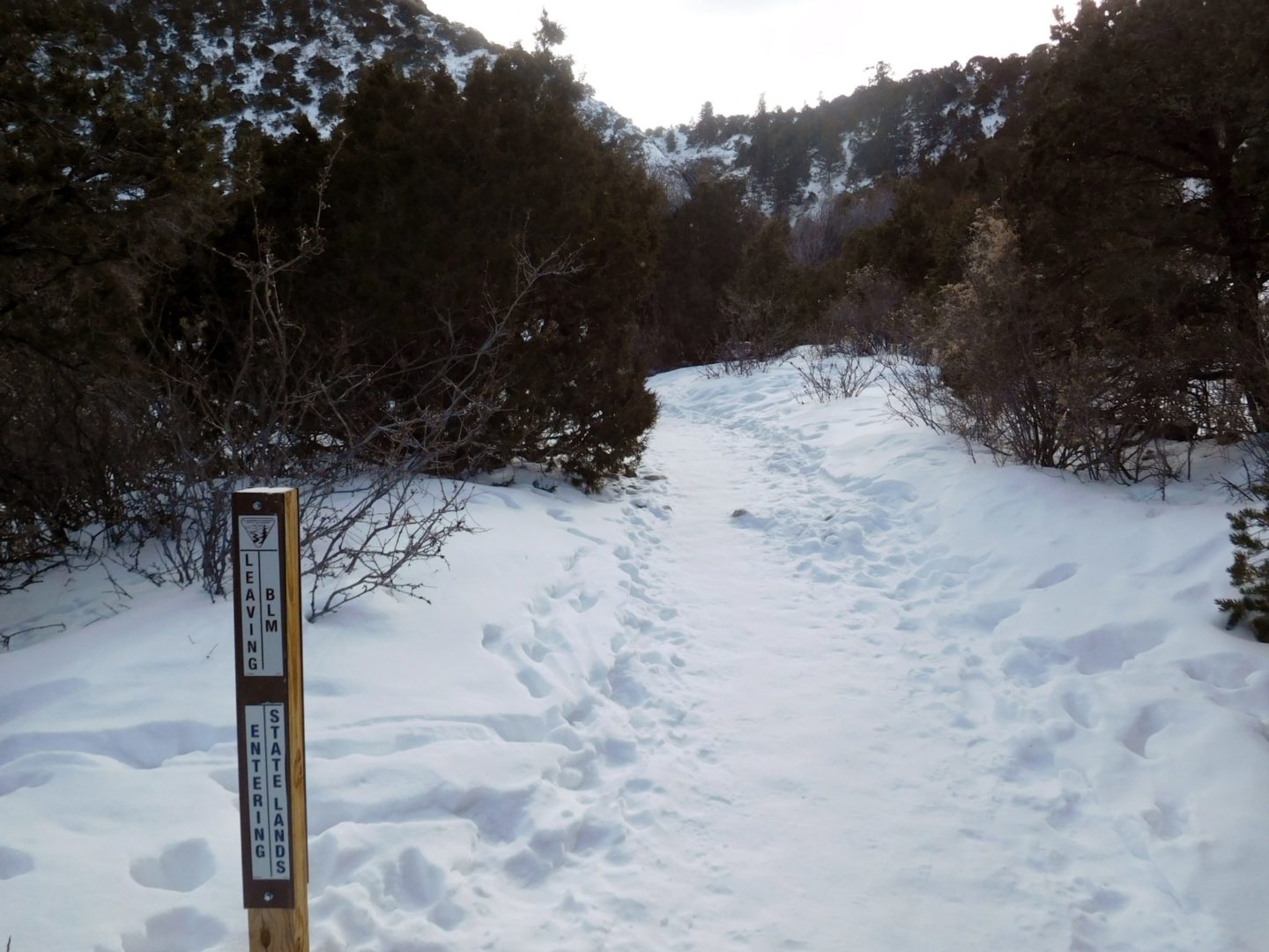
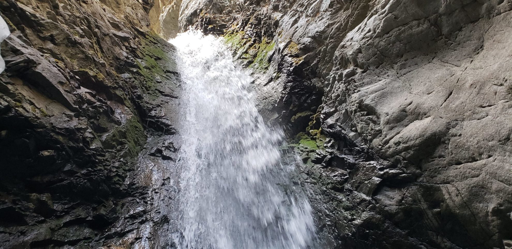


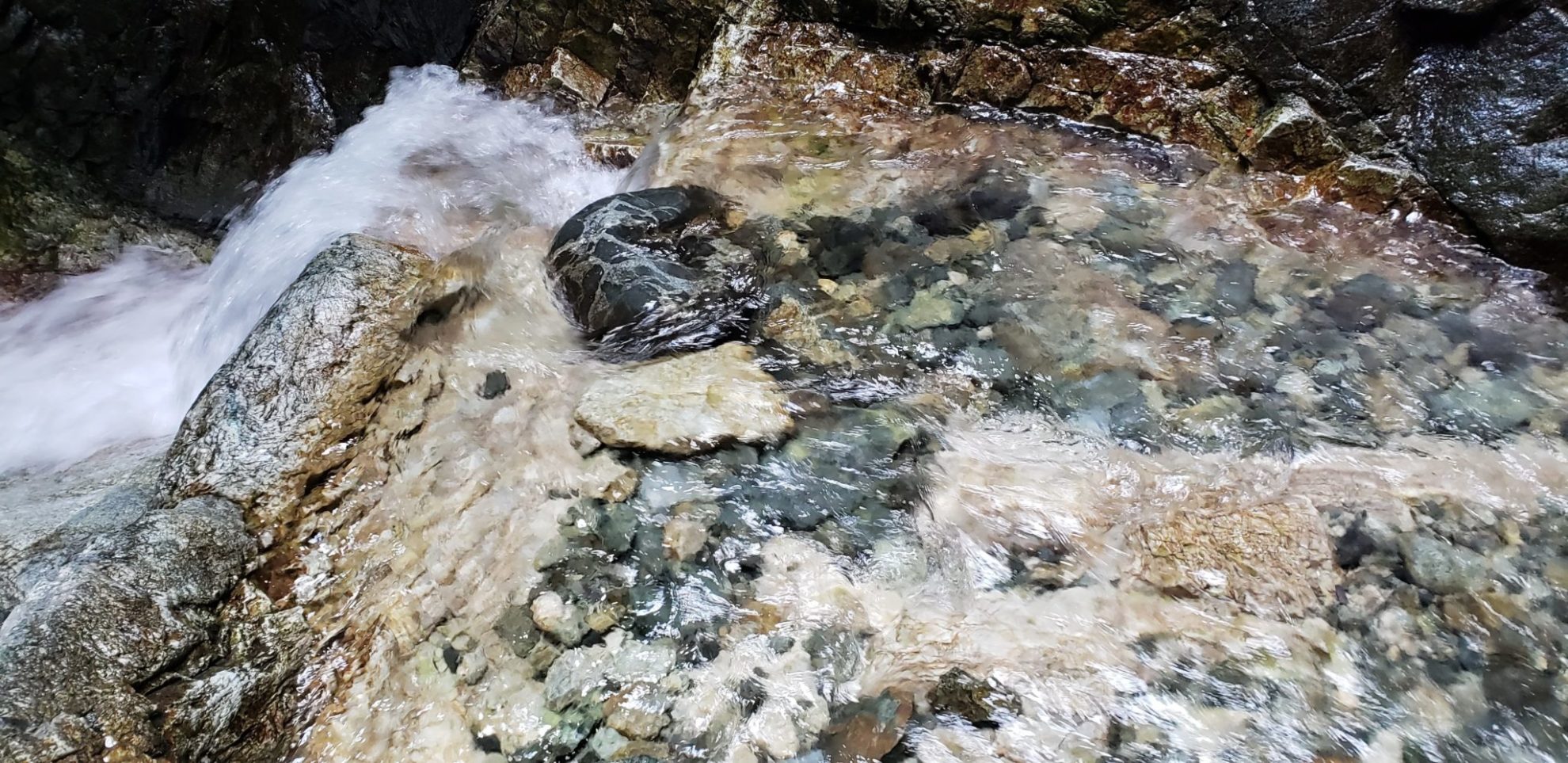
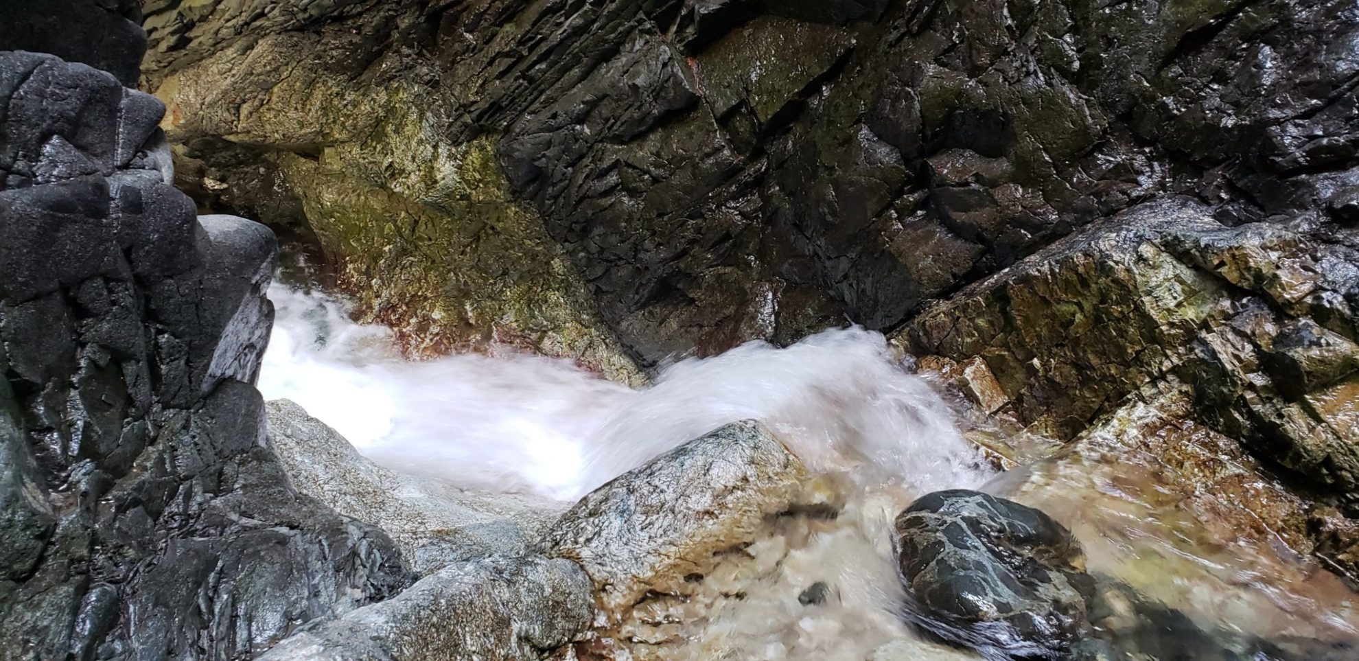
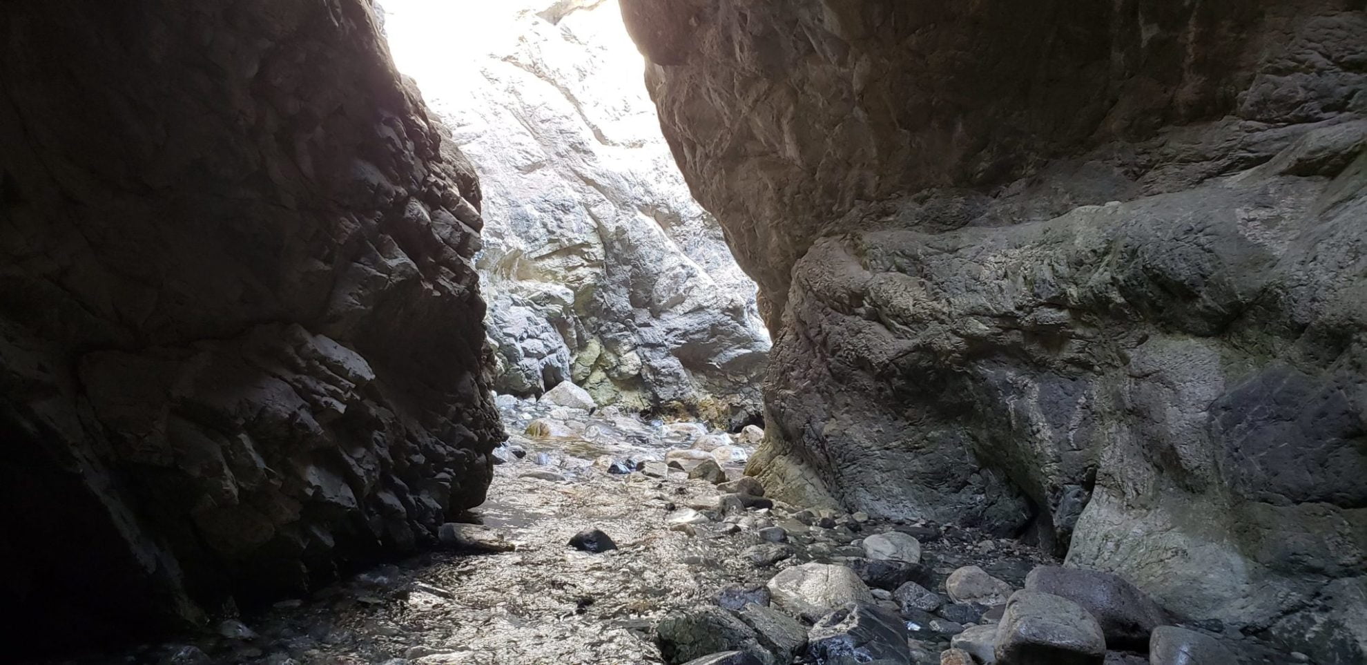
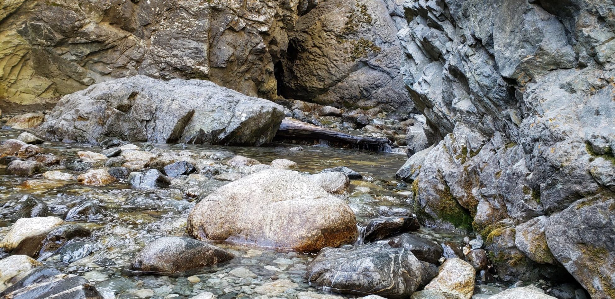
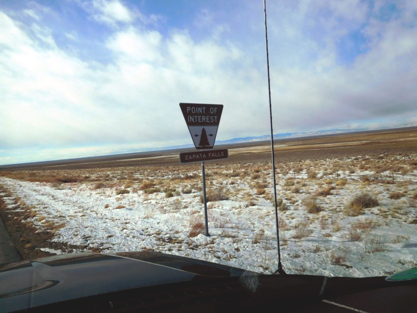
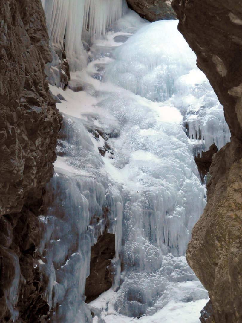
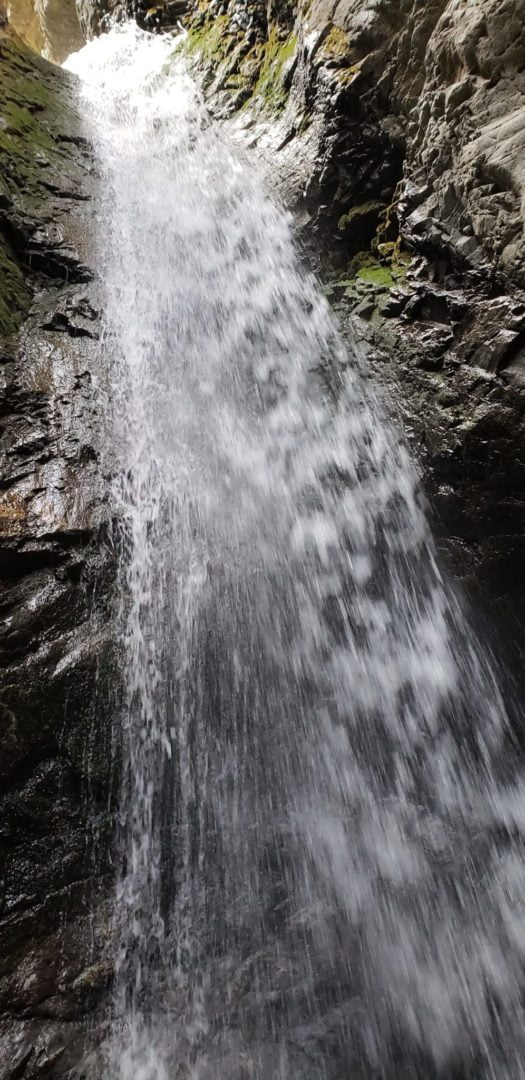
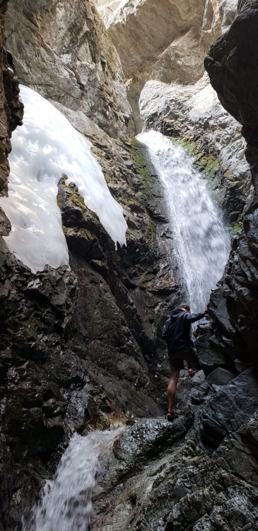
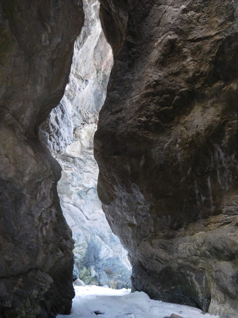
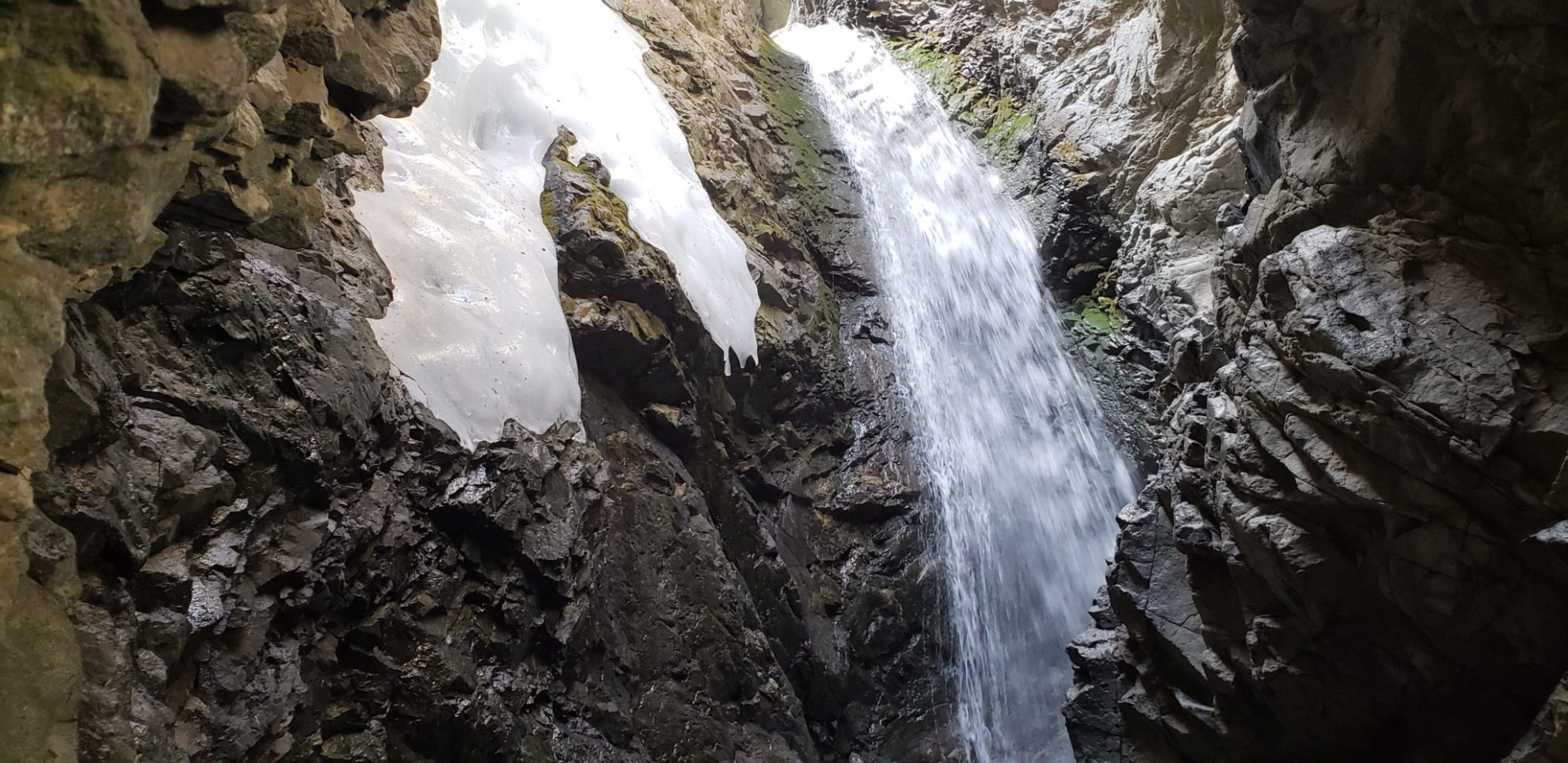
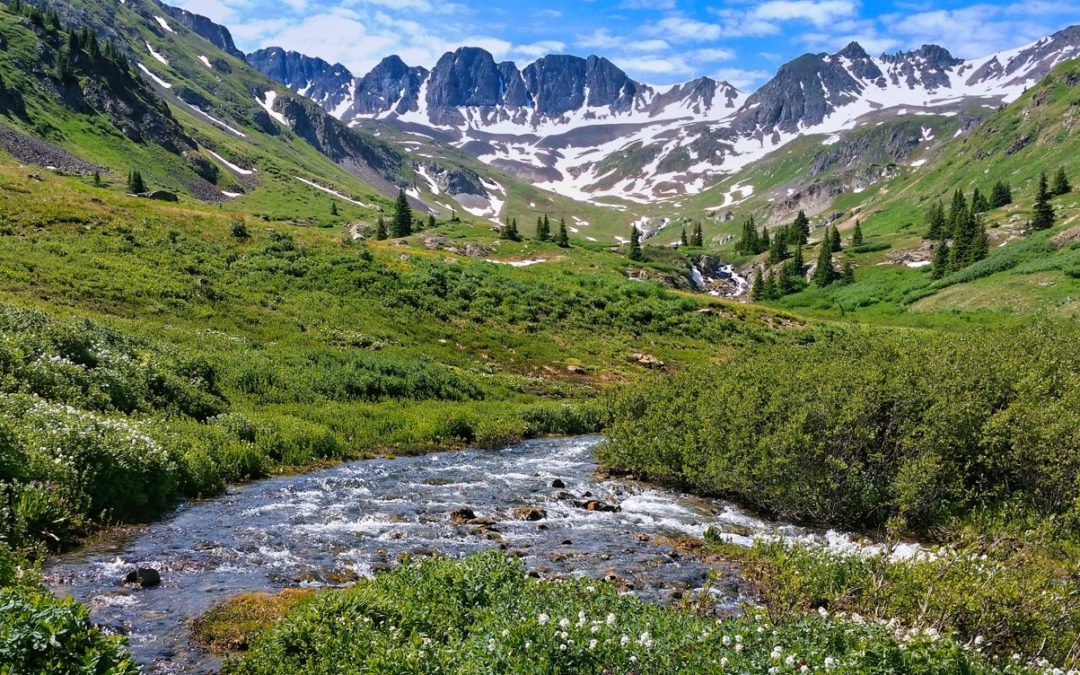


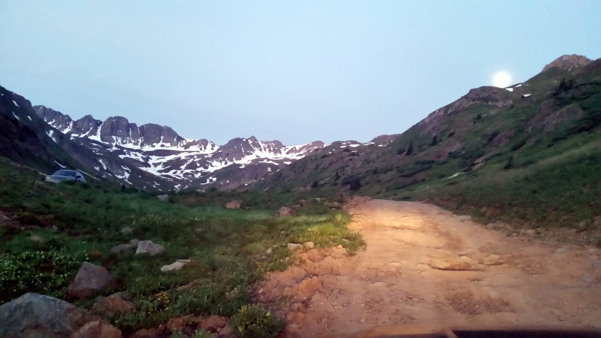

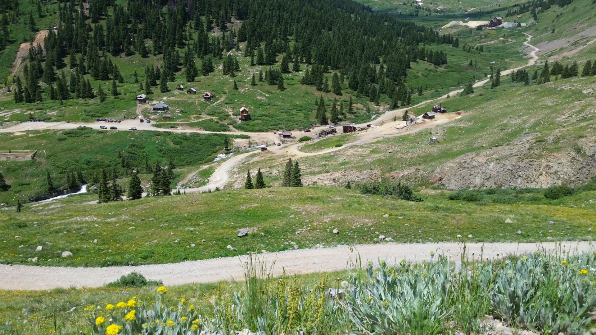

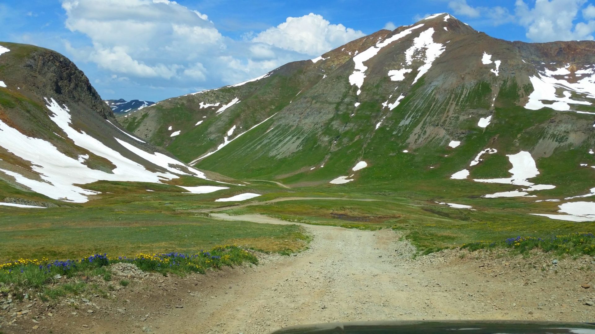
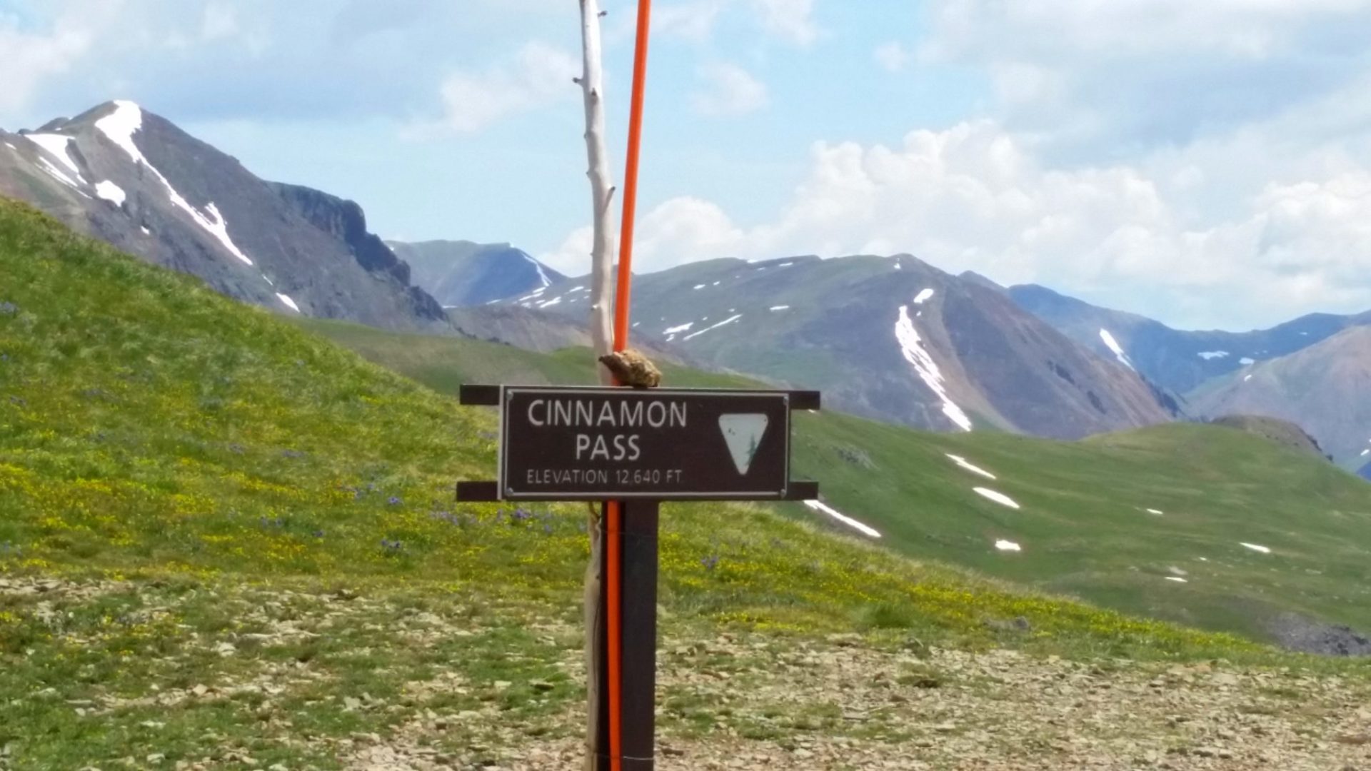
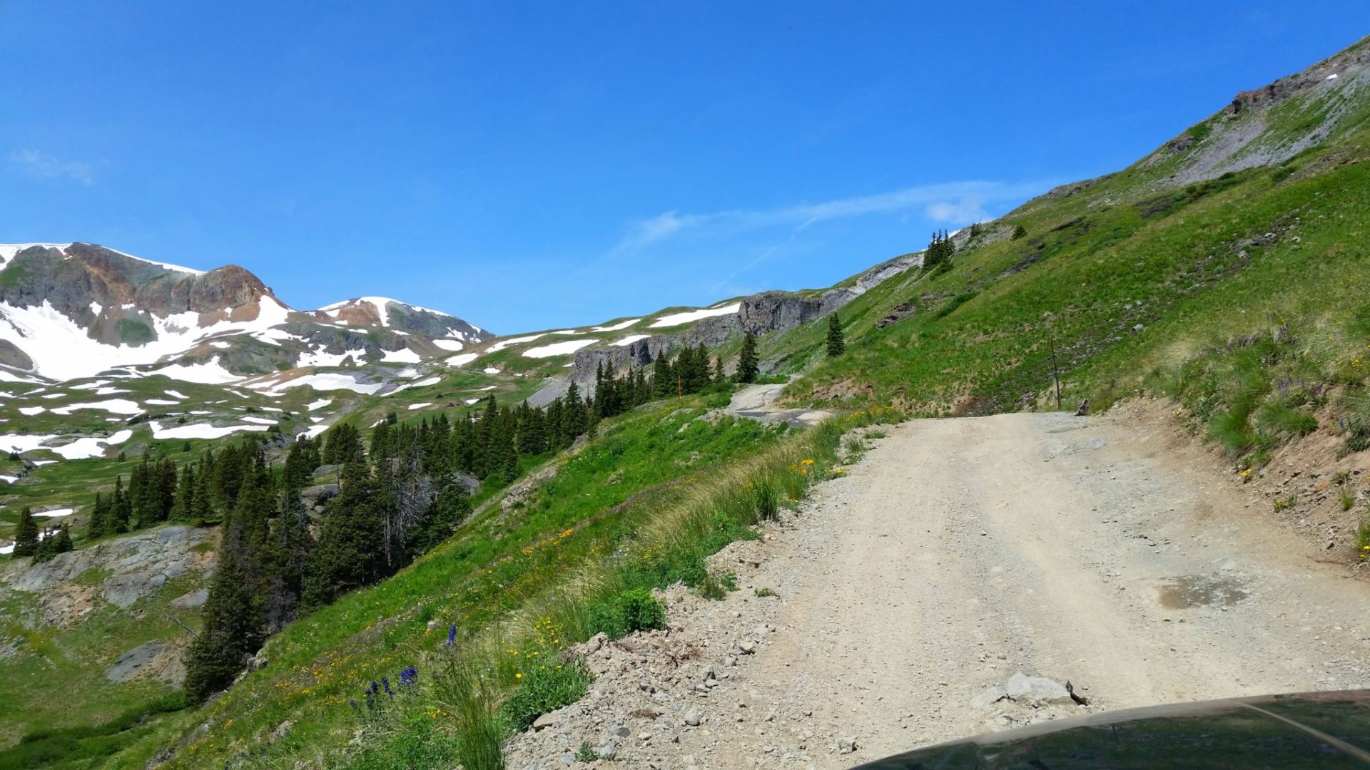
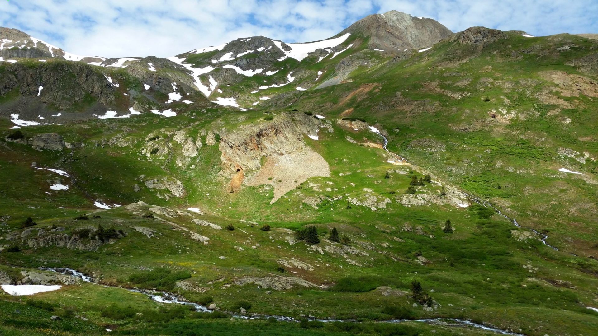

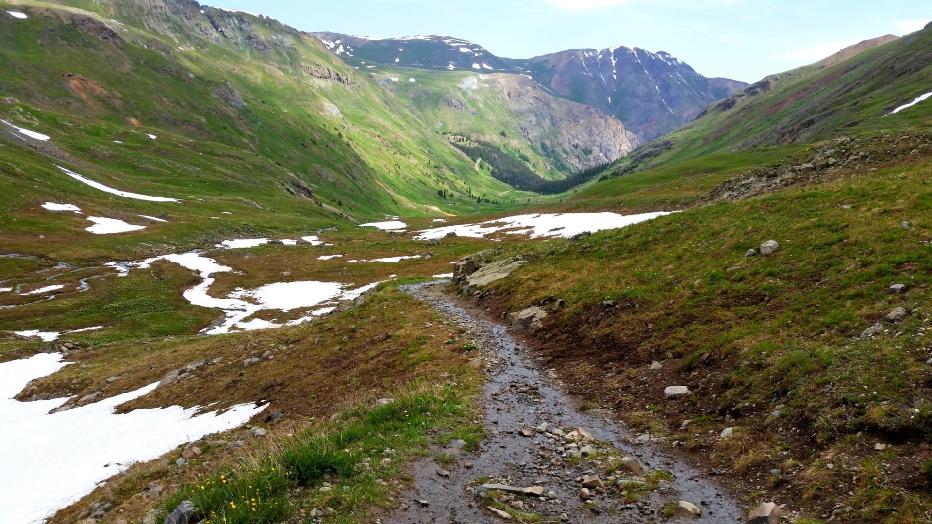
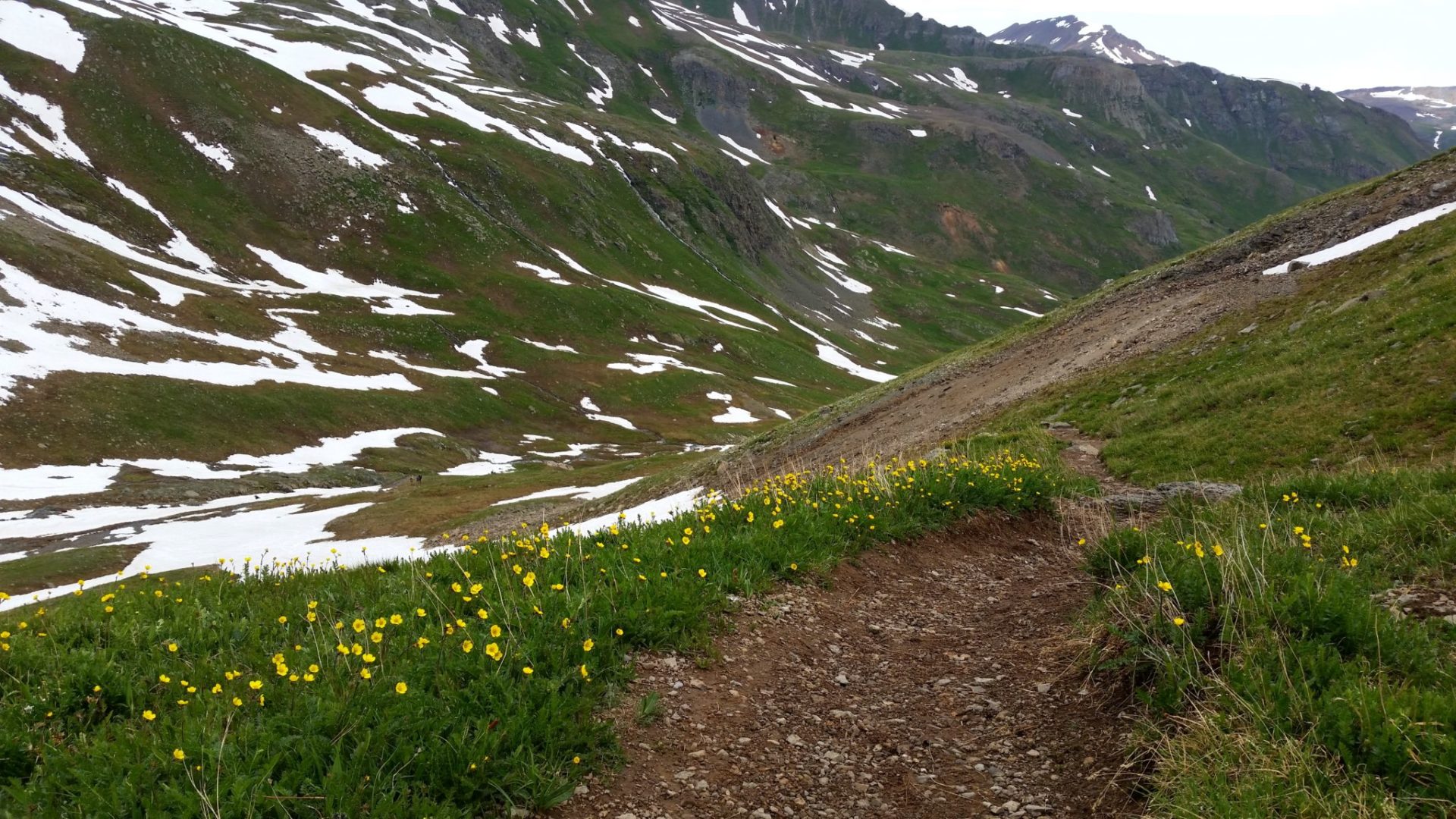


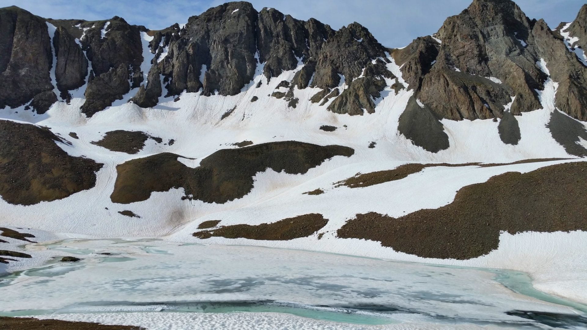

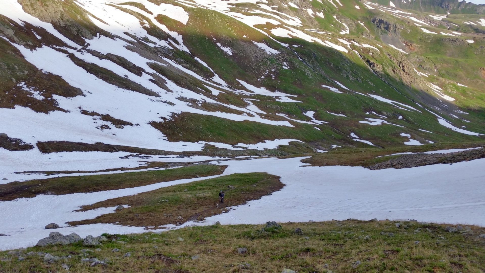

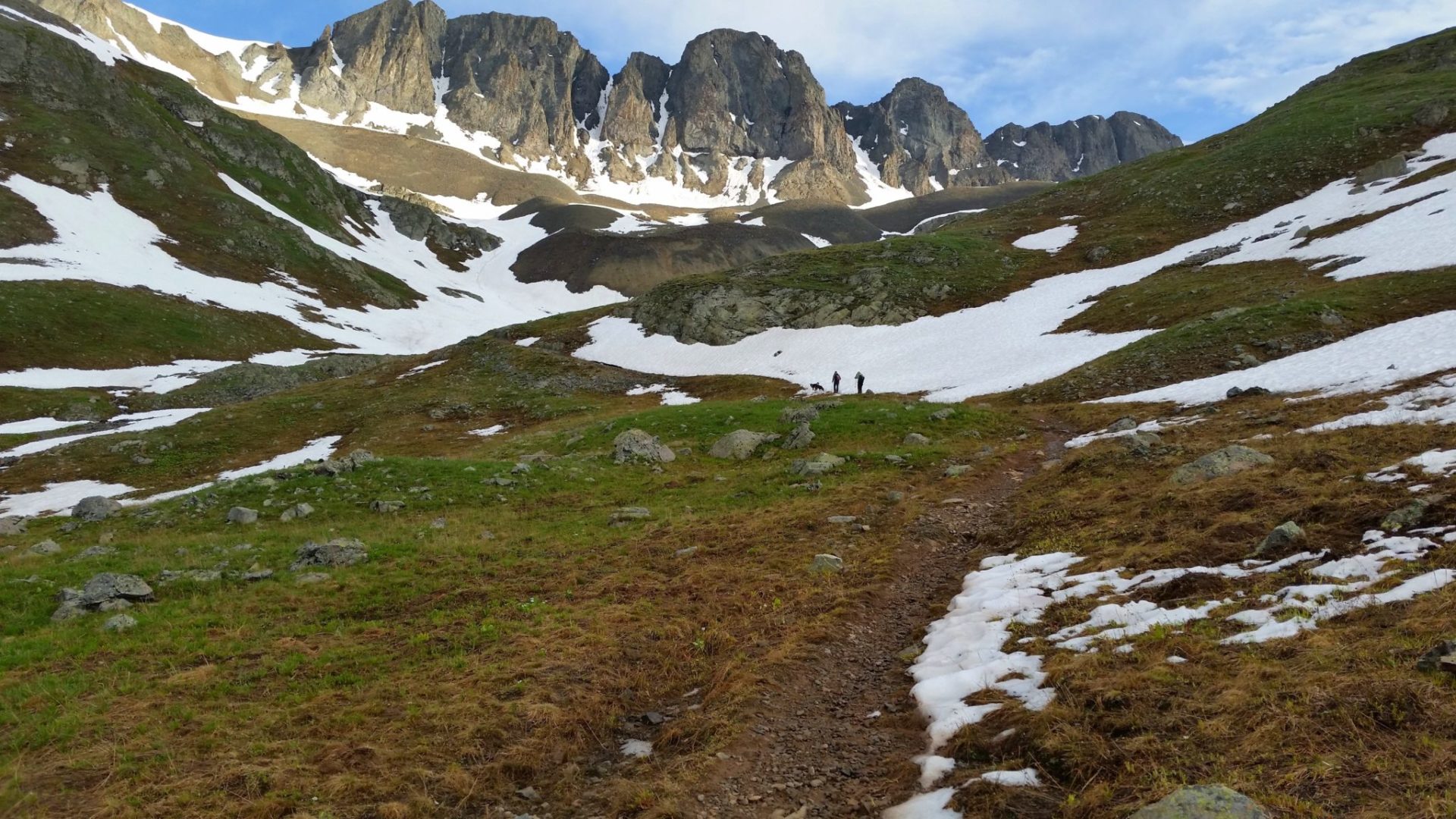
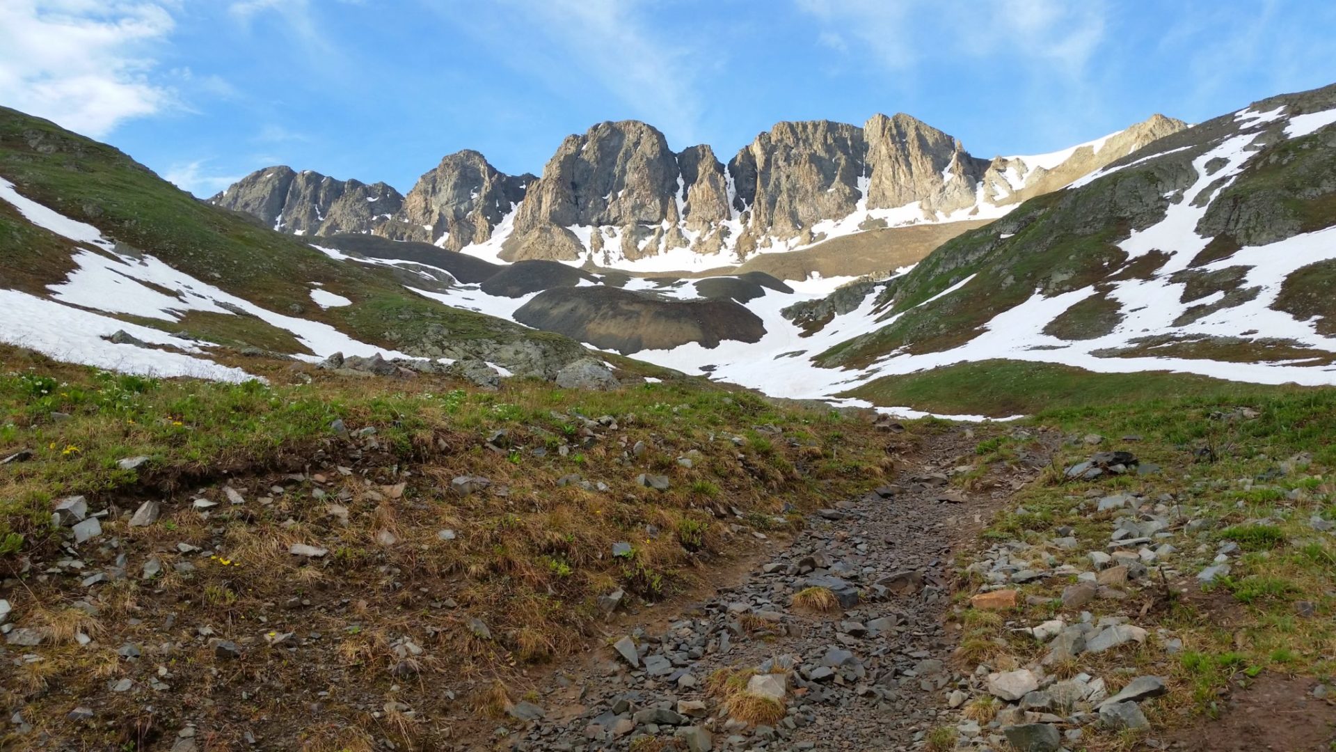
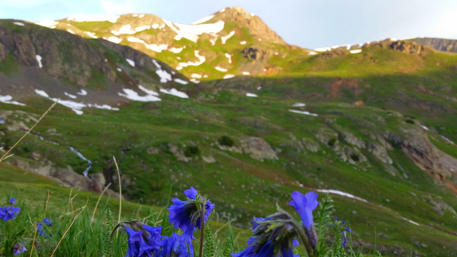
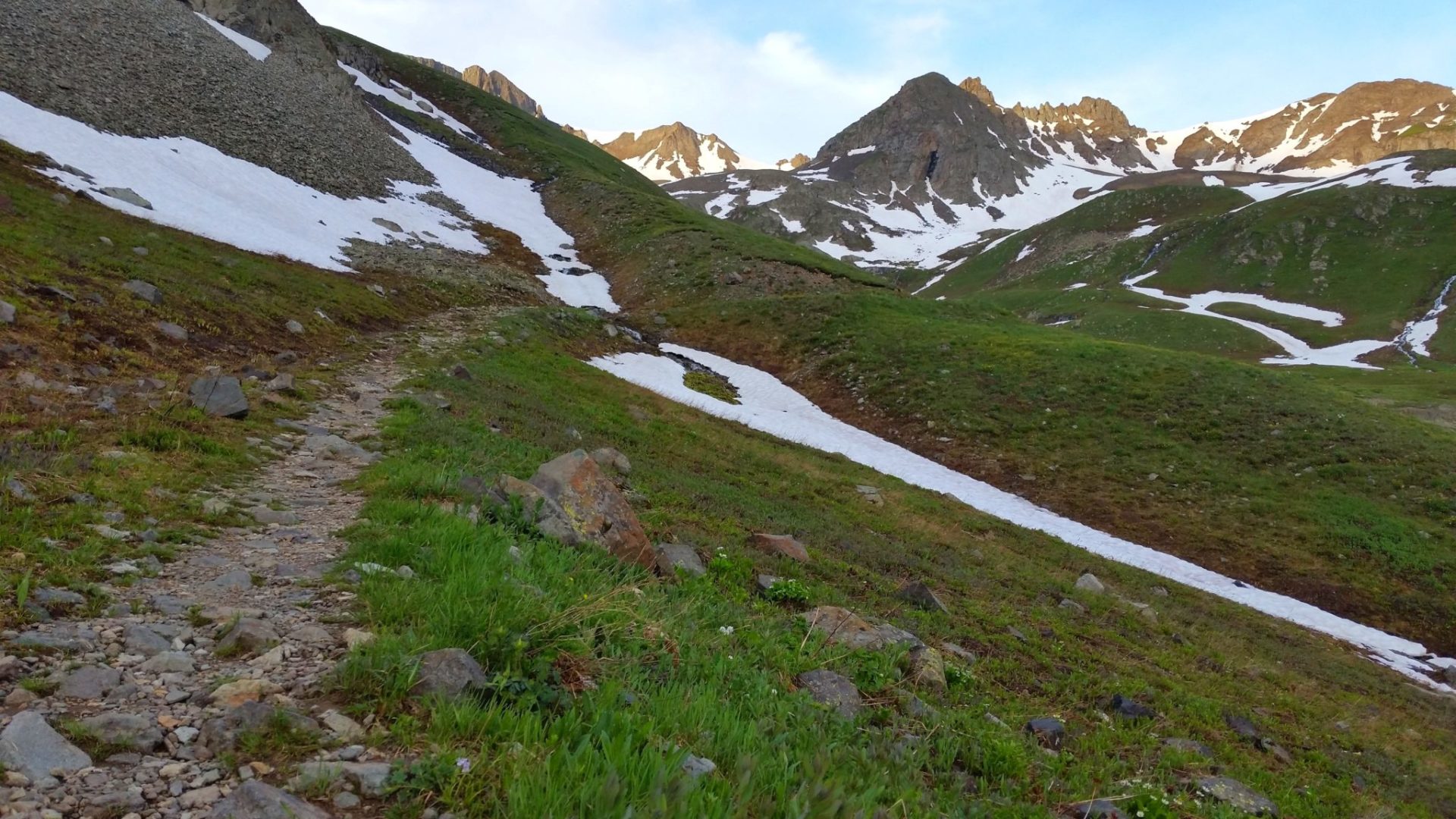


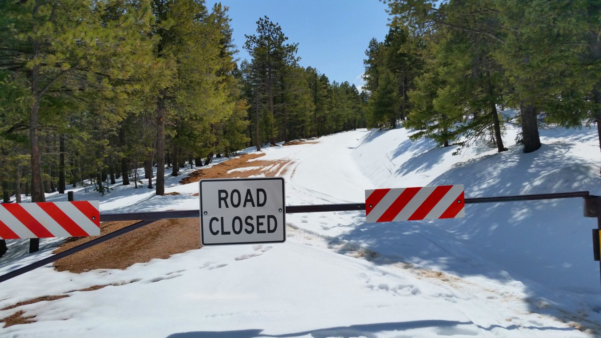

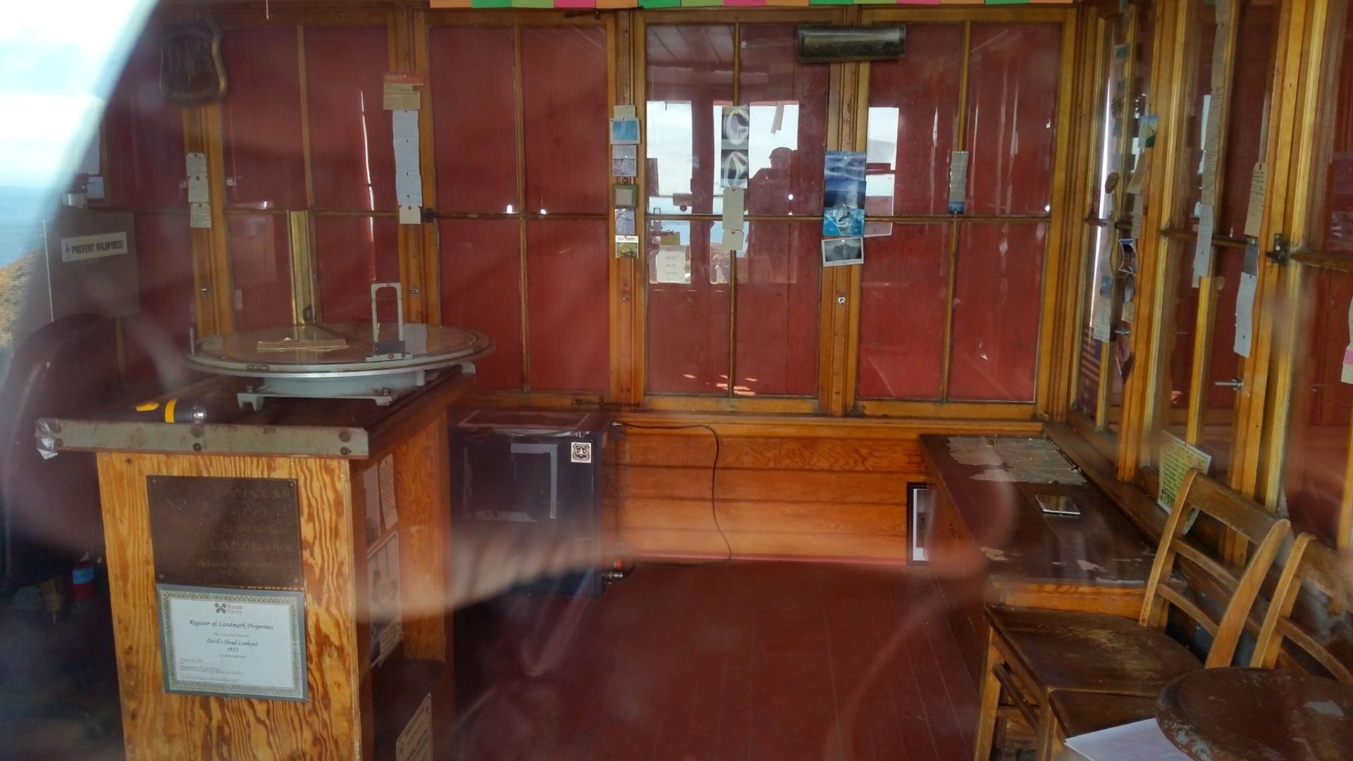


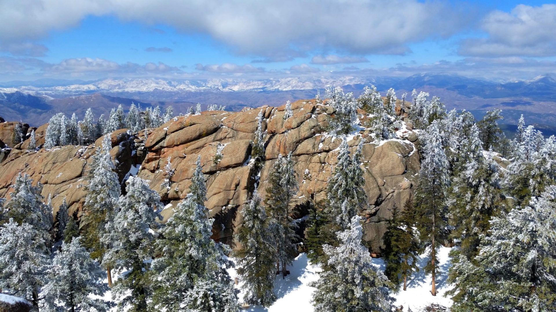

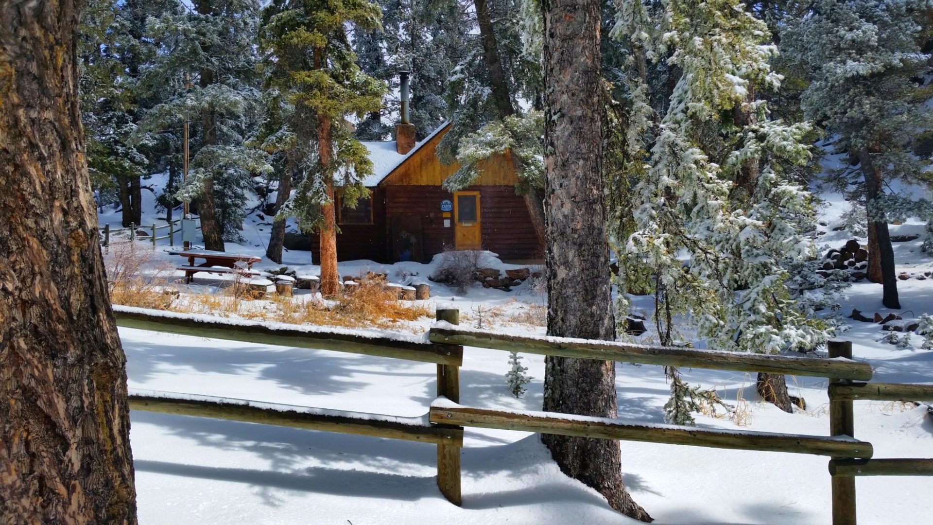


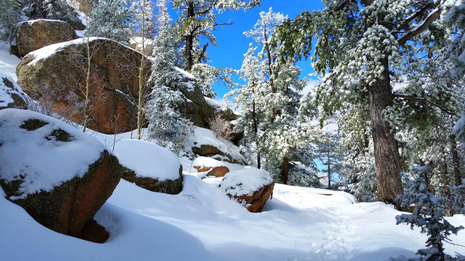
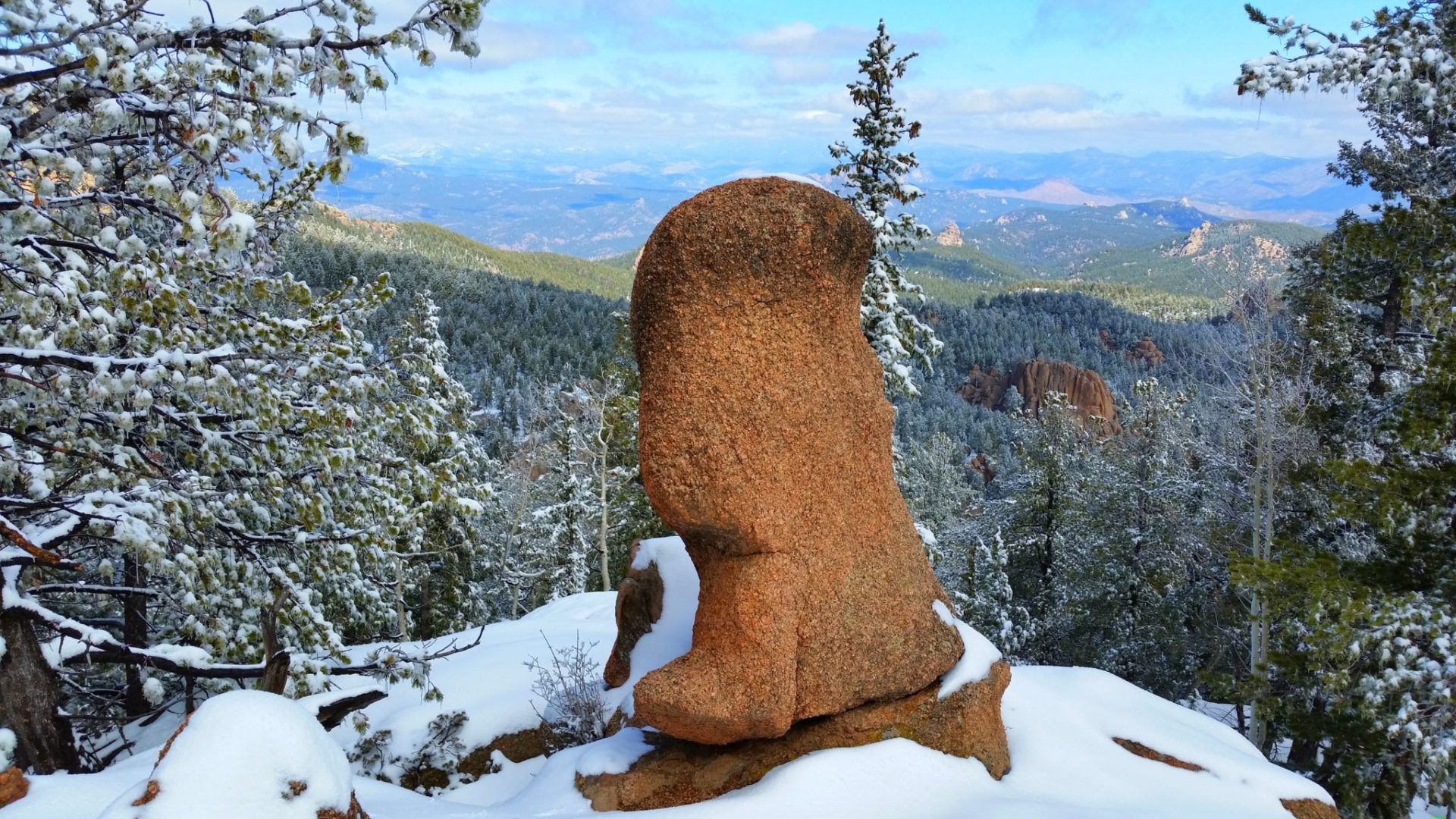
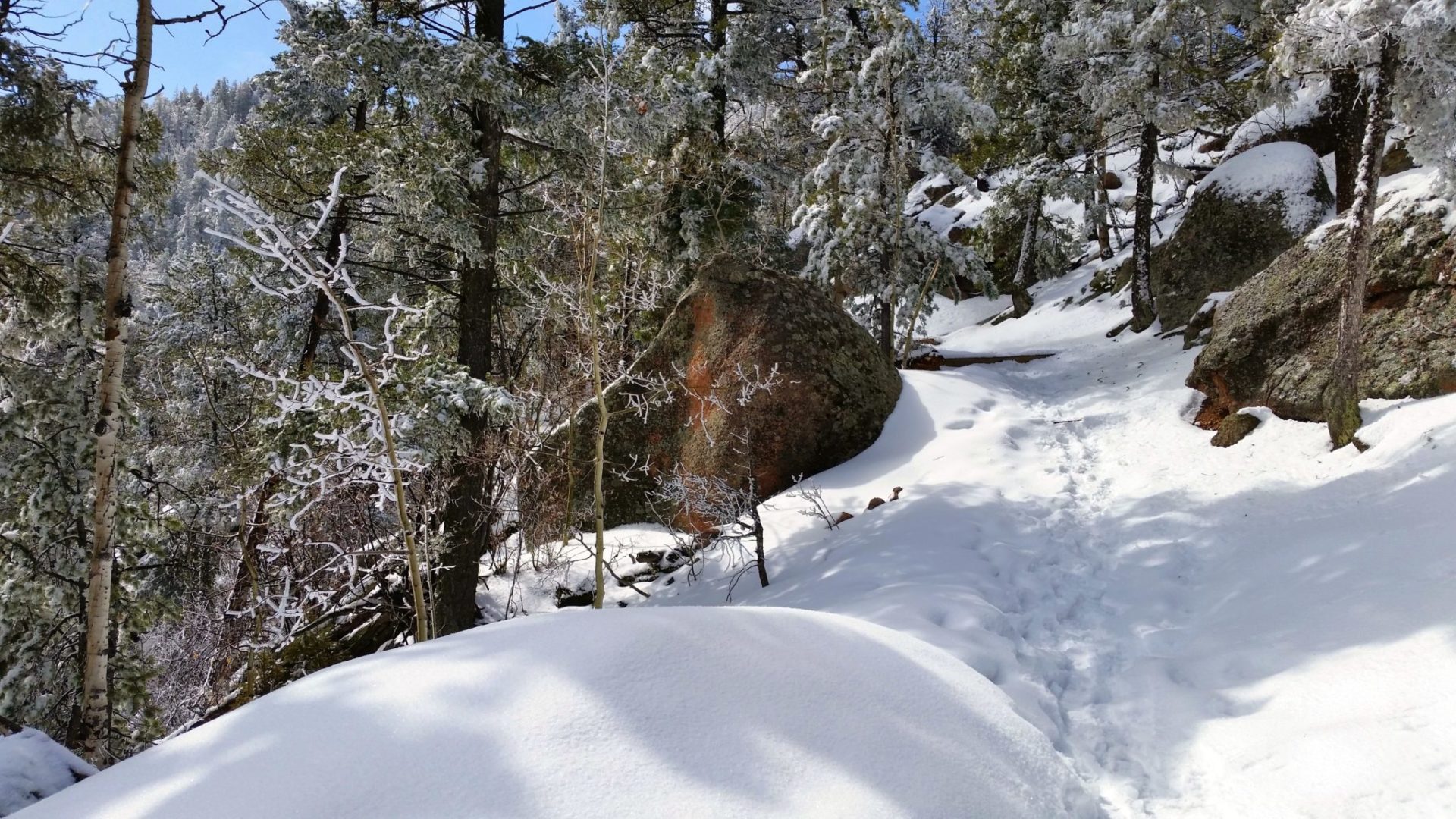

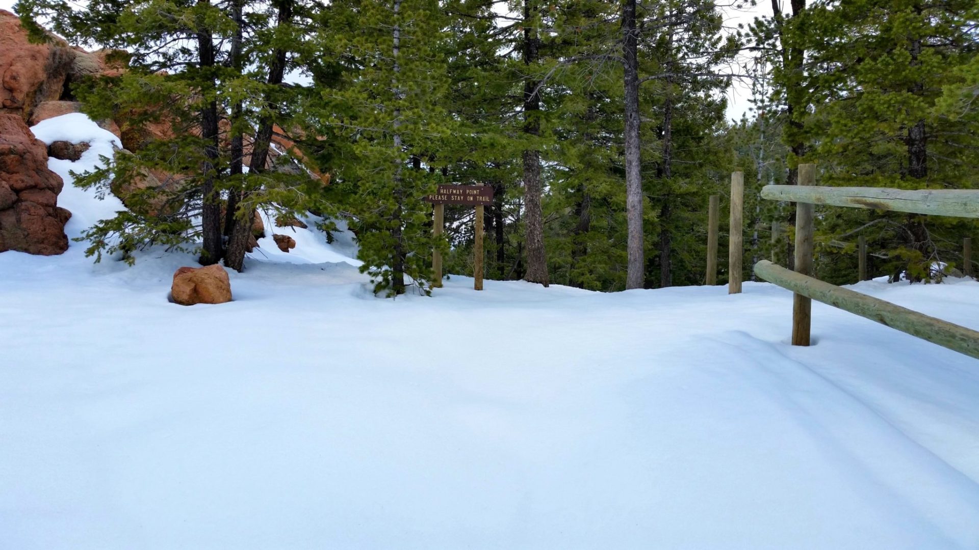

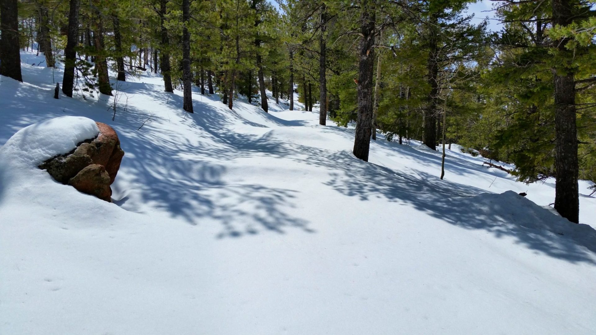
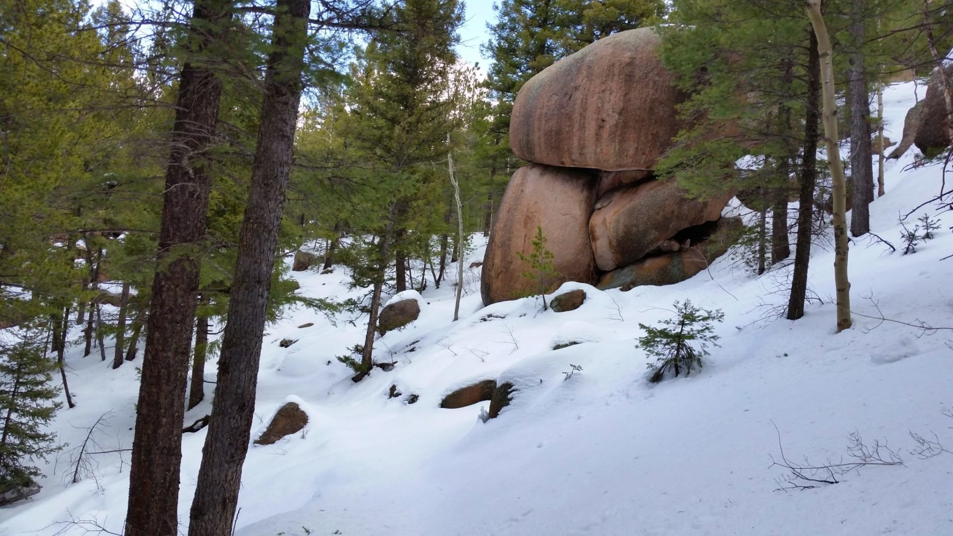


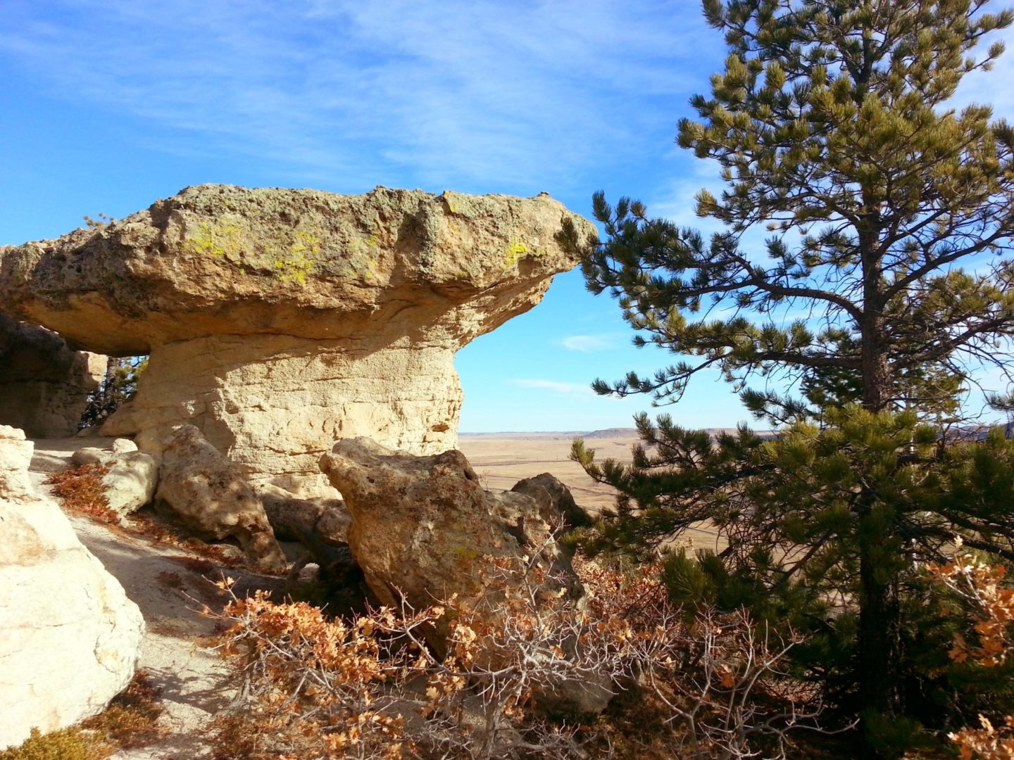
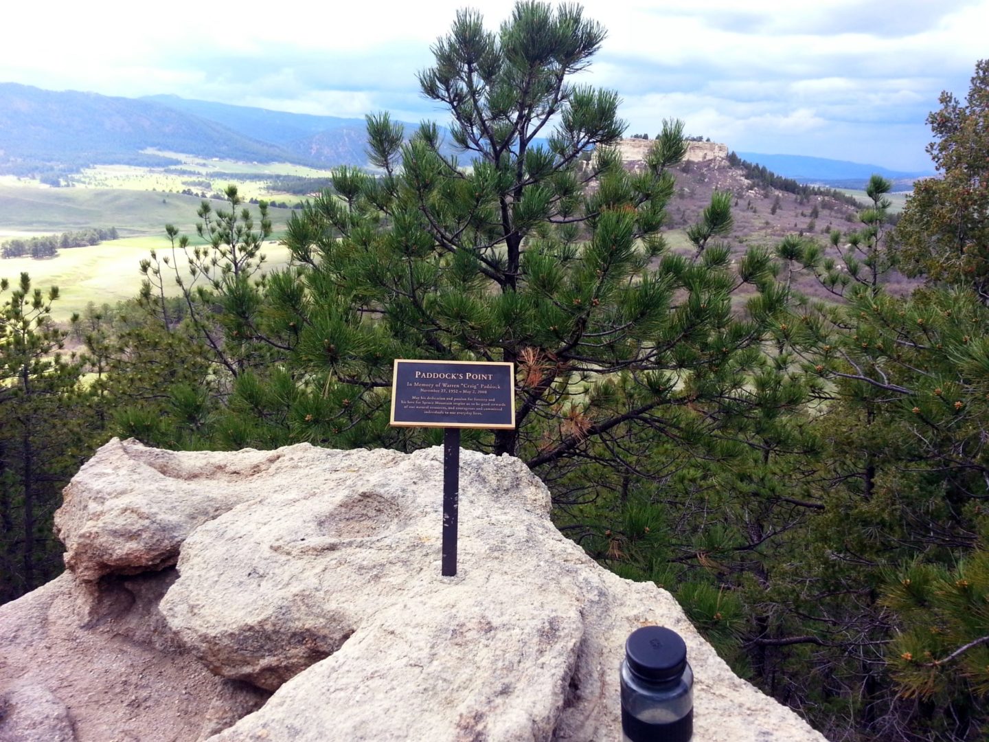
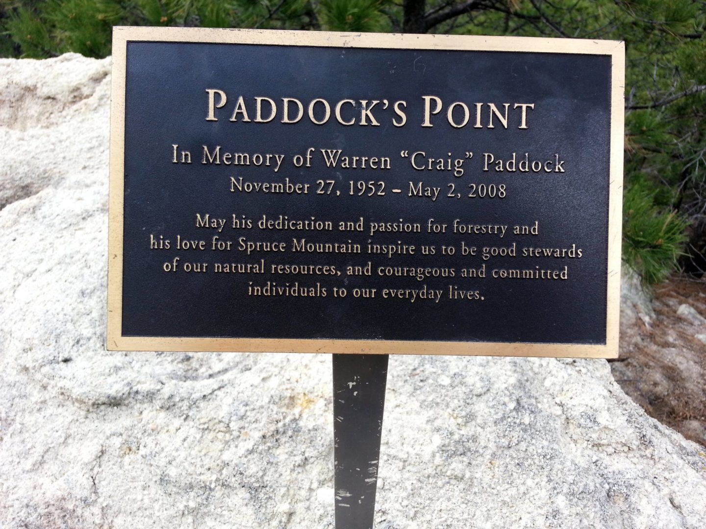

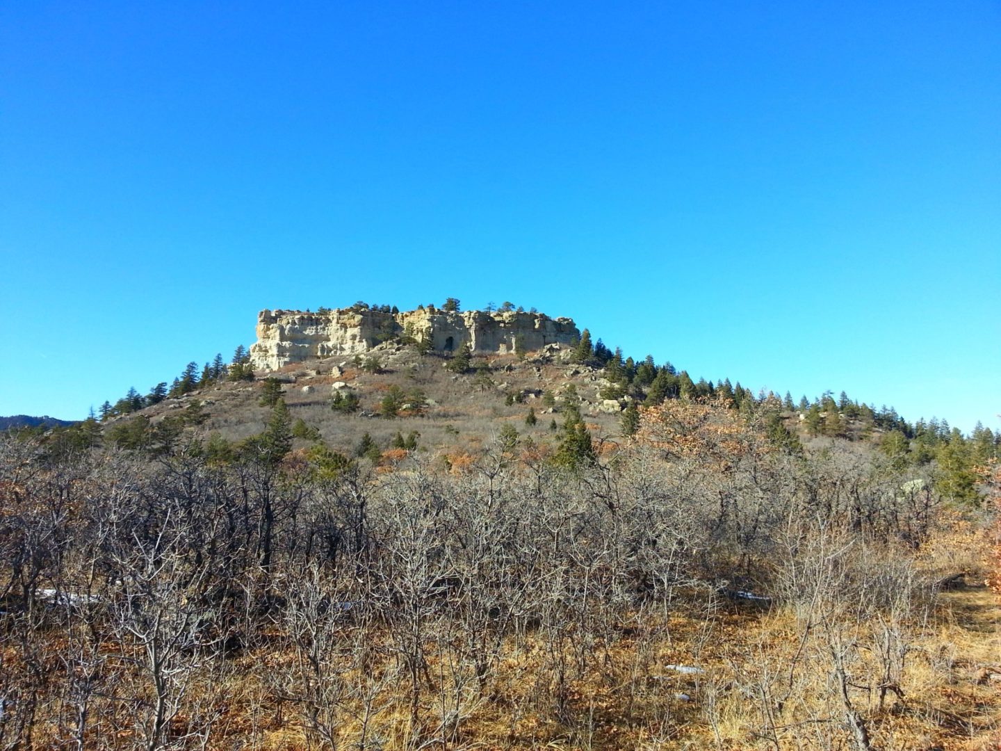


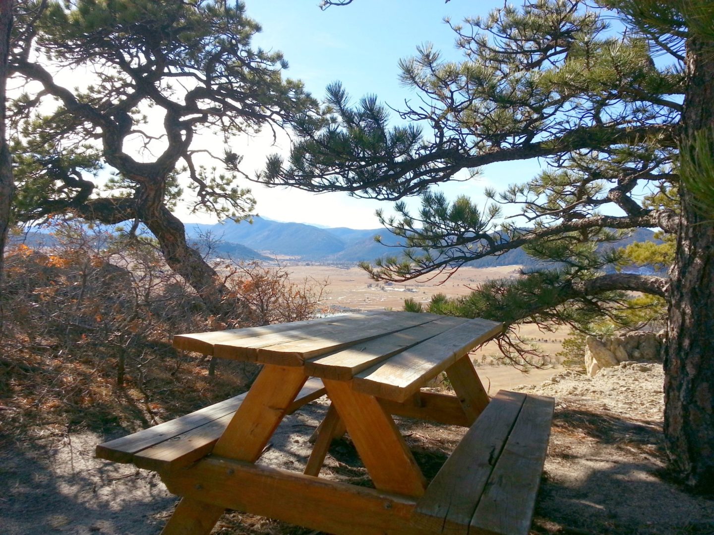
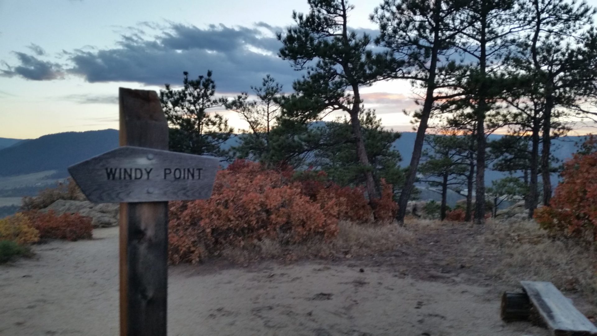
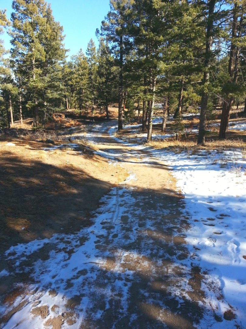
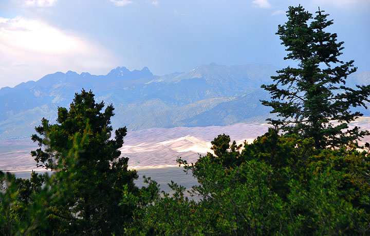