Estes Cone (11,007′), Front Range
Estes Cone is located about 3 miles from the Longs Peak trailhead on the east side of Rocky Mountain National Park. The peak serves as a prominent landmark in the Tahosa Valley to the east. The peak is named for one of the first settlers in Estes Valley, Joel Estes. The granite peak has a rocky outcrop on the summit that provides unobstructed views of Rocky Mountain National Park.
On the way to Estes Cone you will pass by the old Eugene Mine area, of which there is almost no trace left. Moving on you end up at Storm Pass, after which the steepest part of the hike begins. Just before reaching the summit you will hit a cliff band. Head to the right and there will be a weakness in the wall that you can scramble up to the summit.
Trail Stats
- Trailhead: Longs Peak
- Round trip: 6.5 miles / 10.5 km
- Elevation: 9,400′ – 11,007′ / 2,865 m – 3,355 m
- County: Larimer
- Agency: National Park Service
- Nat’l Park: Rocky Mountain

Trail Pictures – October 2021

Longs Peak trailhead
Longs Peak trailhead
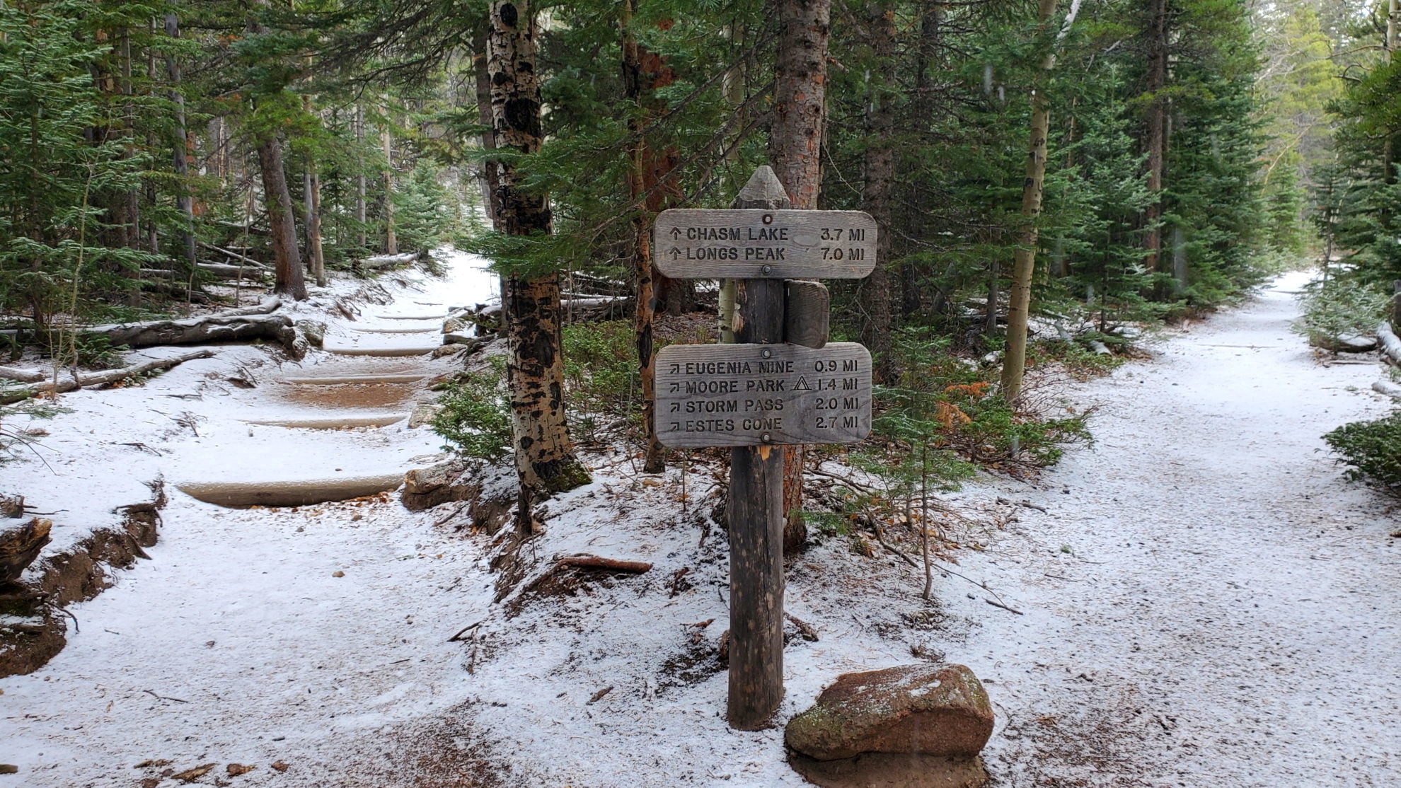
The first junction on the Longs Peak trail
The first junction on the Longs Peak trail

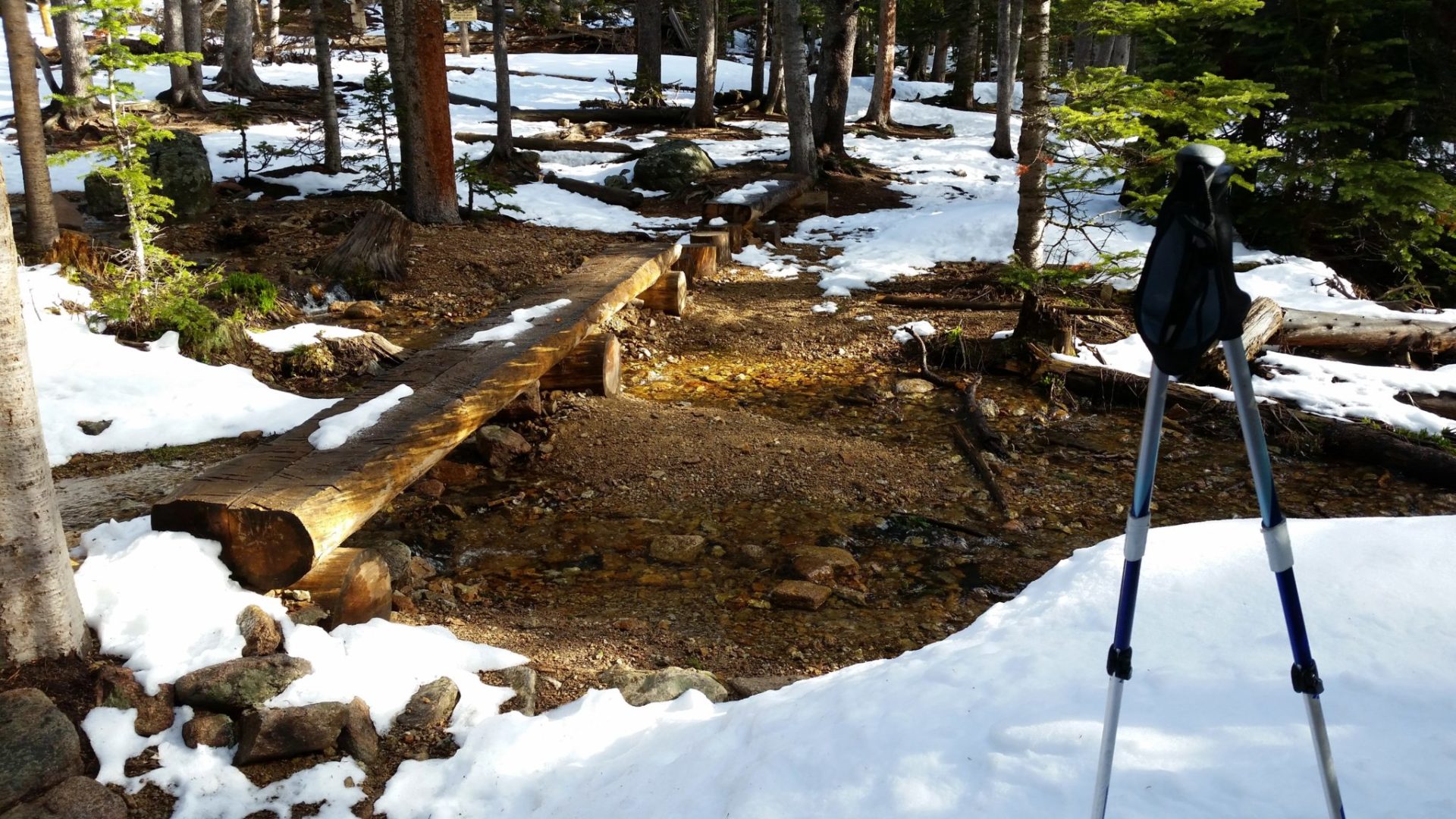
Meadow near Moore Park
Meadow near Moore Park

Near Storm Pass
Near Storm Pass

Steepest part of the trail near the summit
Steepest part of the trail near the summit

Estes Cone summit
Estes Cone summit

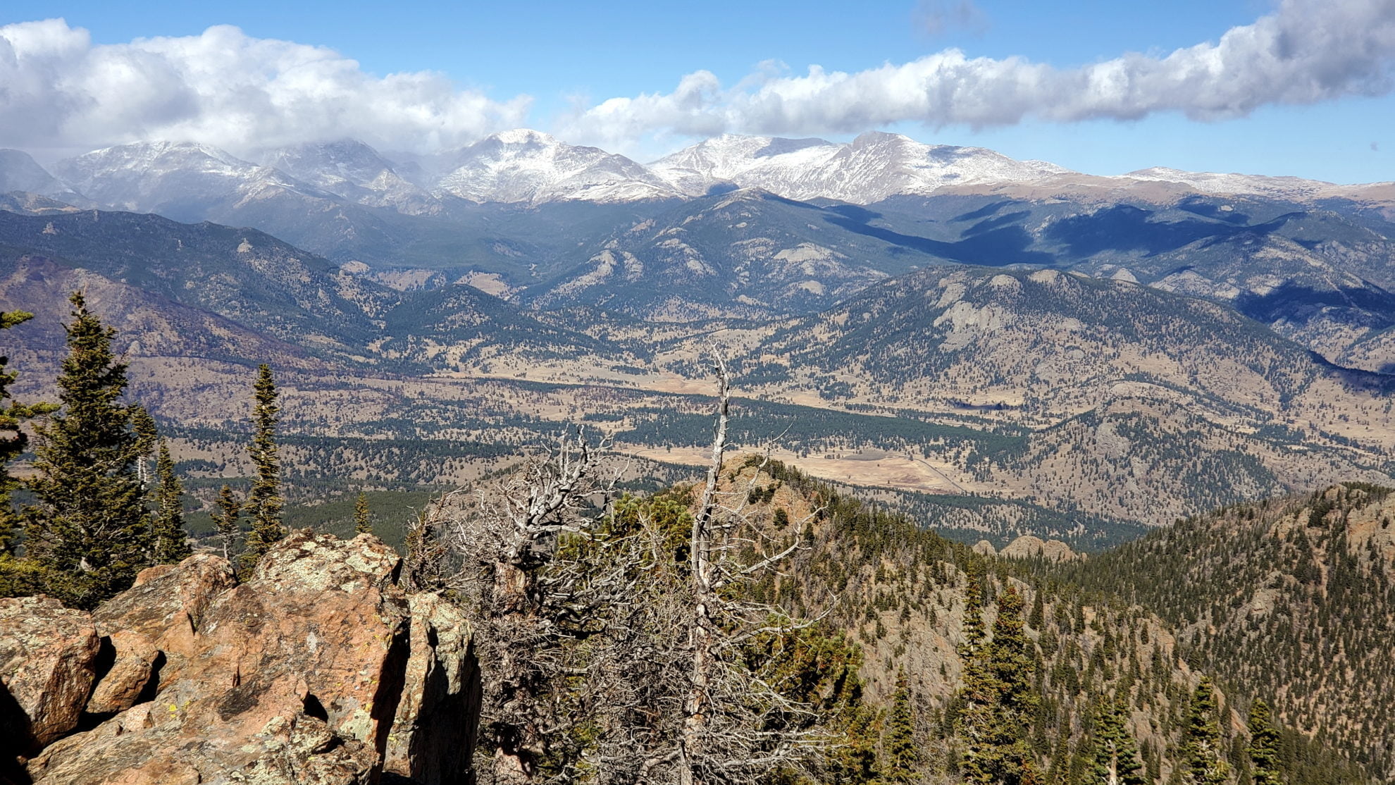
Looking north from the summit
Looking north from the summit
The wind gusts were dangerous on the summit
The wind gusts were dangerous on the summit
Southwest view from the summit
Southwest view from the summit

Northwest view from the summit
Northwest view from the summit

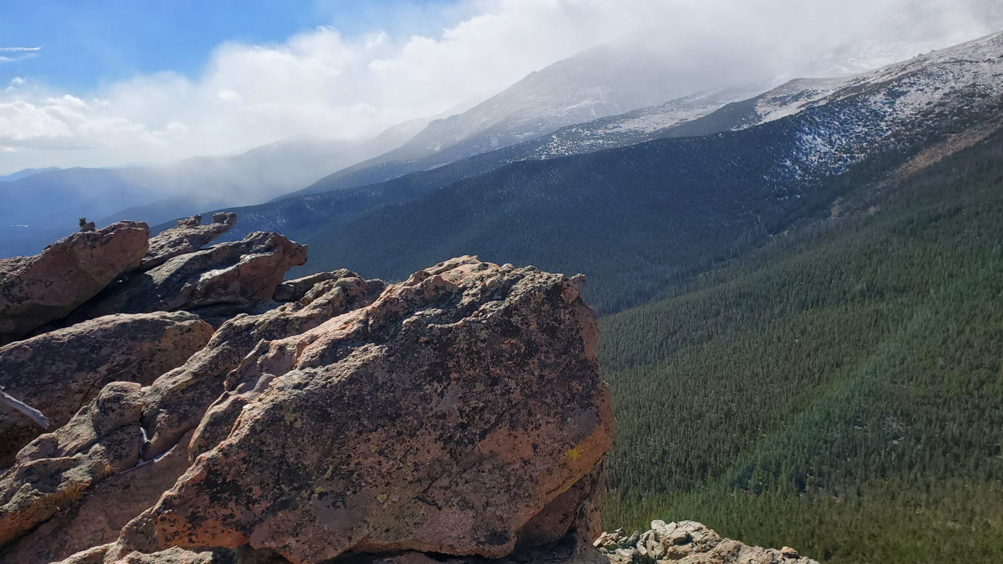
View along the western cliff face
View along the western cliff face

Summit view to the south
Summit view to the south
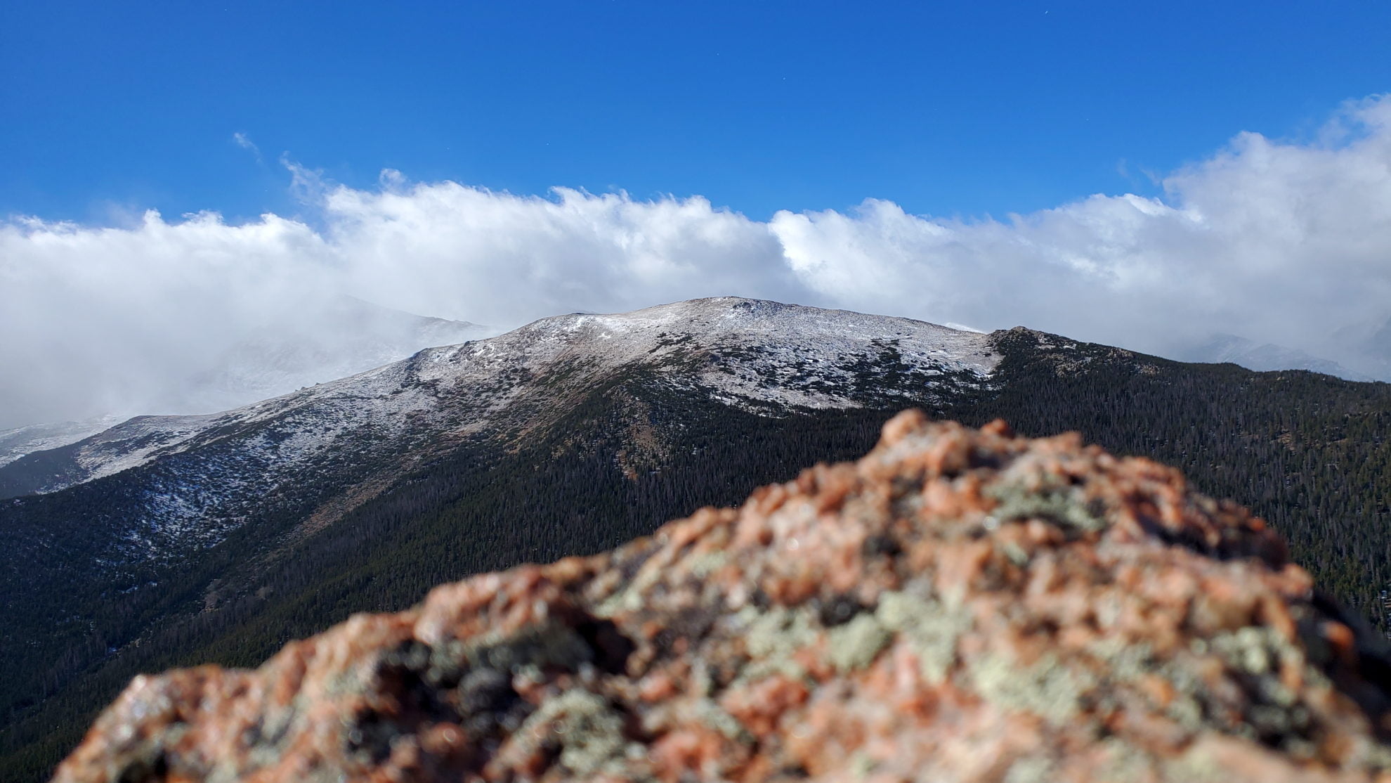
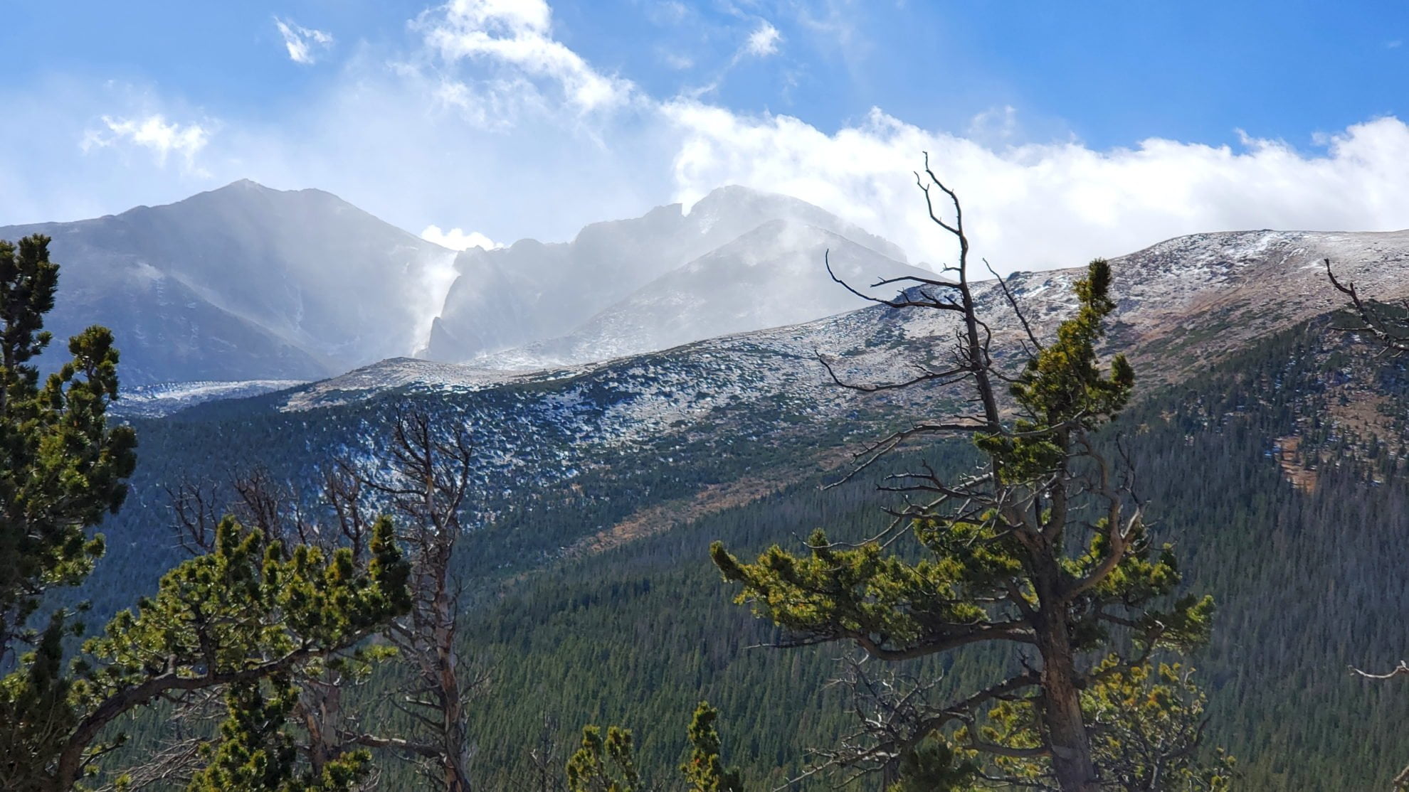
Summit view looking west with Longs Peak covered in clouds all day
Summit view looking west with Longs Peak covered in clouds all day

View east from the summit with Lake Estes below
View east from the summit with Lake Estes below

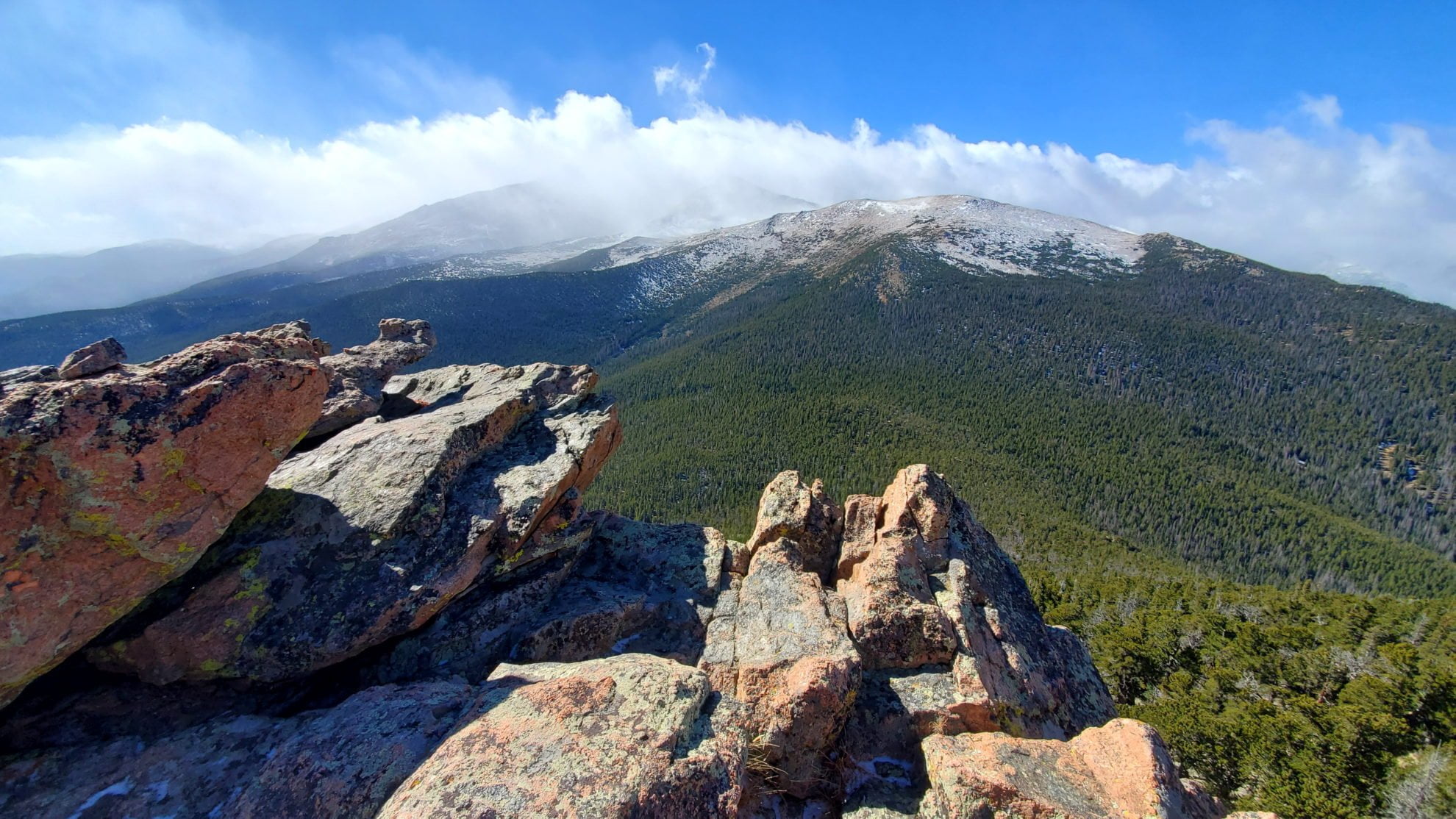
Northwest view from the summit
Northwest view from the summit

The route up to the summit – a steep scramble
The route up to the summit – a steep scramble

View west on the final climb to the summit
View west on the final climb to the summit
View north from the summit
View north from the summit

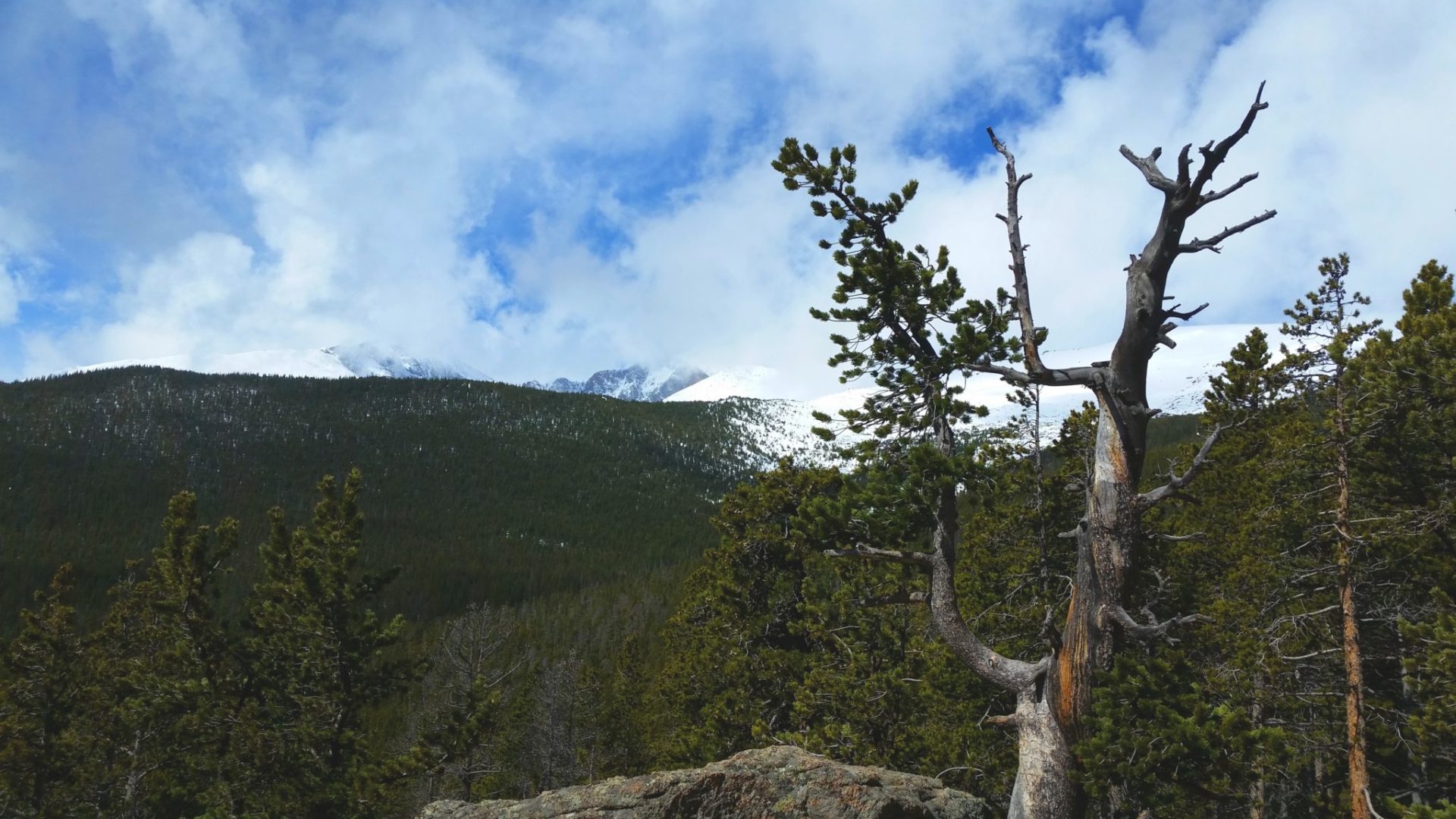
Looking northwest just below the summit
Looking northwest just below the summit
Mt Meeker (left) and Longs Peak (right)
Mt Meeker (left) and Longs Peak (right)

Meadow near Moore Park
Meadow near Moore Park

Ruins near the old Eugene Mine
Ruins near the old Eugene Mine

Ranger station at the foot of the Longs Peak trail
Ranger station at the foot of the Longs Peak trail

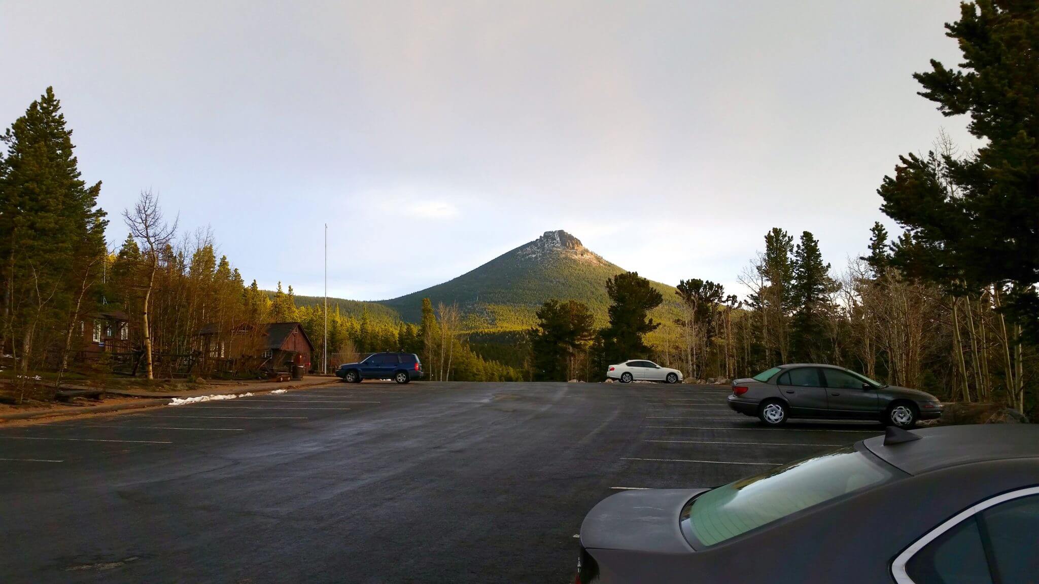
Estes Cone from Hwy 7
Estes Cone from Hwy 7
Trail Pictures – May 2015 – stopped 1/4 mile from the summit due to a rare snowstorm with lightning and thunder.
Estes Cone from the Longs Peak trailhead
Estes Cone from the Longs Peak trailhead

Serious lightening hazard so turned around about 100ft from the top
Serious lightening hazard so turned around about 100ft from the top

heavy thunderstorm with snow
heavy thunderstorm with snow

Storm moving in
Storm moving in

Following cairns
Following cairns

Close to the Estes Cone turnoff
Close to the Estes Cone turnoff
Looking towards Longs Peak
Looking towards Longs Peak

Weather rolling in
Weather rolling in

The only break from the dense forest
The only break from the dense forest
A rare glimpse of sunshine
A rare glimpse of sunshine

Snow deepened at the turnoff for Eugene Mine
Snow deepened at the turnoff for Eugene Mine

Fairly clear near the trailhead
Fairly clear near the trailhead

Longs Peak trailhead ranger station
Longs Peak trailhead ranger station

Estes Cone in the distance
Estes Cone in the distance
GPS Route with Elevation
Video Tour
Trail Directions
The approach to Estes Cone from the Longs Peak trailhead is relatively easy with mild uphills until you reach the base of the mountain. Once you turn off the Storm Pass trail you will see cairns marking the turnoff to begin the steeper 800′ scramble to the top. Once you reach the base of the summit, head right of the rock wall to scramble to the summit.
Trailhead Directions