Colorado Landmarks
Colorado is a state of stunning natural beauty, with a wealth of natural landmarks that attract visitors from around the world. From the rugged peaks of the Rocky Mountains to the wide-open eastern plains, Colorado is home to an incredible array of geological formations, scenic vistas, and diverse ecosystems. Whether you are a hiker, 4×4 enthusiast, photographer, or simply someone who loves the great outdoors, Colorado’s natural landmarks offer something for everyone. In this post, we will explore some of the most breathtaking natural landmarks in Colorado, and learn what makes each of them so special.
Landmark: Highest peak in the Rocky Mountains
Mt Elbert (14,433′) is the highest peak in the 3,000 mile long Rocky Mountains which stretches from Canada to Mexico. Mount Elbert is part of the Sawatch Range, which contains nine of the twenty highest peaks in the contiguous United States. It was designated a National Natural Landmark by the U.S. Department of the Interior in 1987. The peak is composed mainly of granite, which was formed from the cooling and solidification of molten rock deep beneath the Earth’s surface. The granite is over a billion years old and has been exposed to the surface through millions of years of erosion.
Landmark: Highest point on the Continental Divide in North America
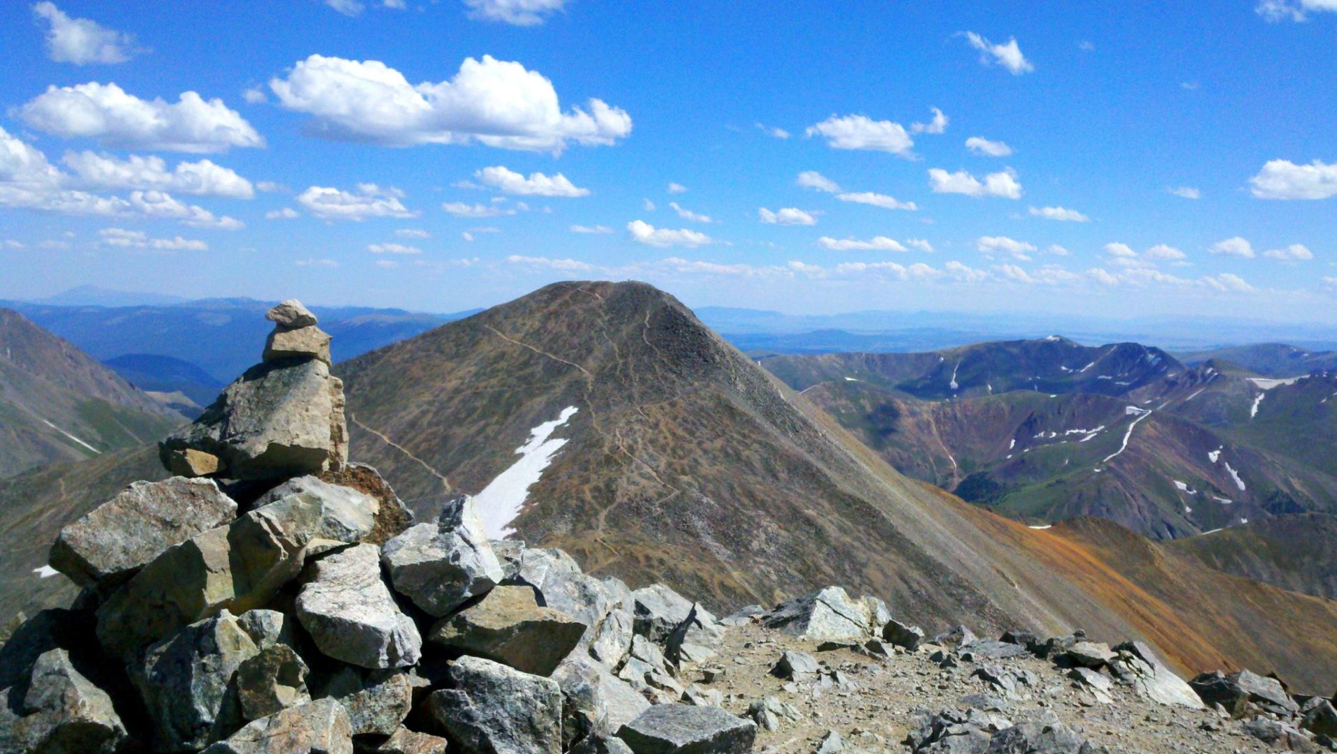
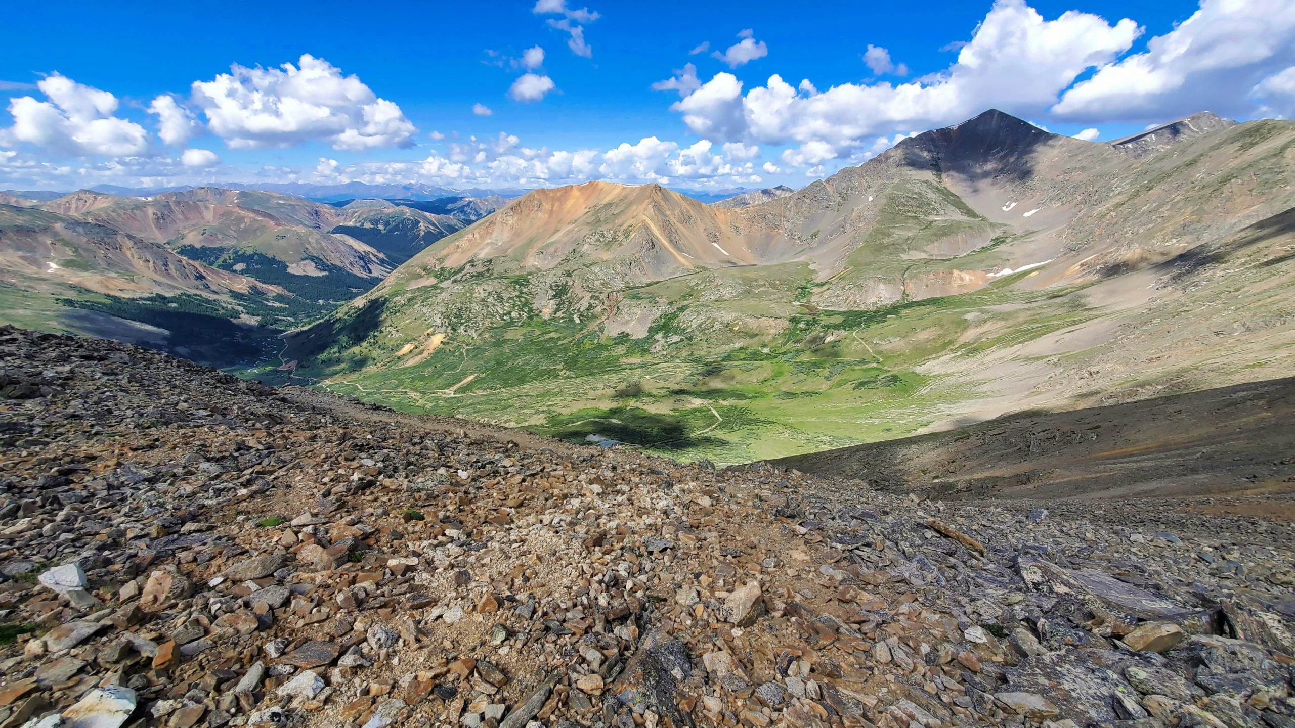
Grays Peak (14,270′) is the highest point on the Continental Divide in North America. The peak is part of the Front Range mountain chain, which stretches from northern to central Colorado, creating a border between the high plains of the east and the mountain chains to the west. The summit of Gray’s Peak offers breathtaking views of the surrounding mountain ranges, including the nearby Torreys Peak (3/4 miles away), which is often climbed in combination with Gray’s Peak. On a clear day, hikers can see all the way to the plains of eastern Colorado.
Landmark: Highest paved road in the U.S.
The Mount Evans Scenic Byway is the highest paved road in the U.S at 14,230′. If you’re looking for an awe-inspiring road trip with some of the most breathtaking views of the Rocky Mountains, the Mount Evans Scenic Byway should be at the top of your list. The road spans 28 miles, starting at an elevation of 7,500 feet and winding its way up just below the summit of Mount Evans (14,264 feet). This drive is not for the faint of heart, as the road features steep drop-offs and hairpin turns, but the views of the mountain range and the surrounding wilderness are simply spectacular. From the summit, you can take in panoramic views that stretch as far as 100 miles in every direction. On a clear day, you can even see Denver and the Great Plains in the distance.
Landmark: Highest point and longest tunnel on the U.S. Interstate system
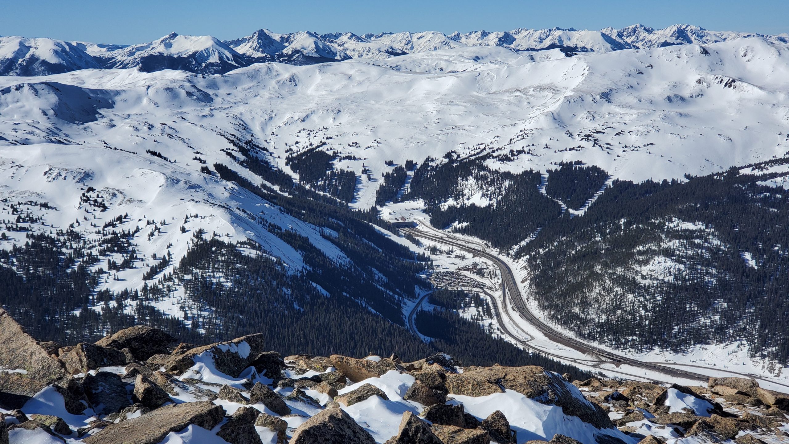
I-70 at the Eisenhower Tunnel is the highest point (11,158′), and longest tunnel (1.7 miles), on the U.S. interstate system. The United States interstate system is one of the most impressive transportation networks in the world. It spans over 48,000 miles and connects nearly every major city in the country. The Eisenhower Tunnel has had a significant impact on the transportation of goods and people across the Rocky Mountains. The tunnel is an essential link between the economy of the western and eastern United States, as it allows for the transportation of goods and services to and from the regions.
Landmark: Highest named vehicle-accessible pass in Colorado
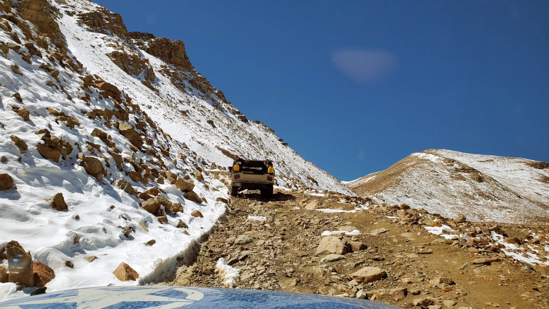
Argentine Pass, at 13,207′, is the highest named vehicle-accessible pass in Colorado. Vehicle travel is only possible on the Georgetown side of the pass (during the summer months) by a four-wheel drive vehicle with high-clearance. The trail on the Horseshoe Basin side is only accessible by foot or by mountain bike. The pass is also the highest point on the American Discovery Trail, perched on the Continental Divide. The pass has a rich mining history, with silver and gold mines operating in the area from the 1860s to the early 1900s.
Landmark: Highest mountain pass road in the contiguous U.S. that isn’t out and back.
Mosquito Pass (13,185′), is the highest vehicle pass in the contiguous U.S. that isn’t out and back. Vehicle travel is only possible by a four-wheel drive with high clearance. The road was originally used by miners during the Colorado Gold Rush in the late 1800s to cross the Mosquito mountain range. The dirt road connects the towns of Alma to the east, with Leadville to the west. It crosses the Continental Divide, between the Arkansas and South Platte Rivers. Mosquito Pass Road is only open during the summer months (June to October) due to heavy snowfall in the winter.
Landmark: Highest suspension bridge in the U.S.
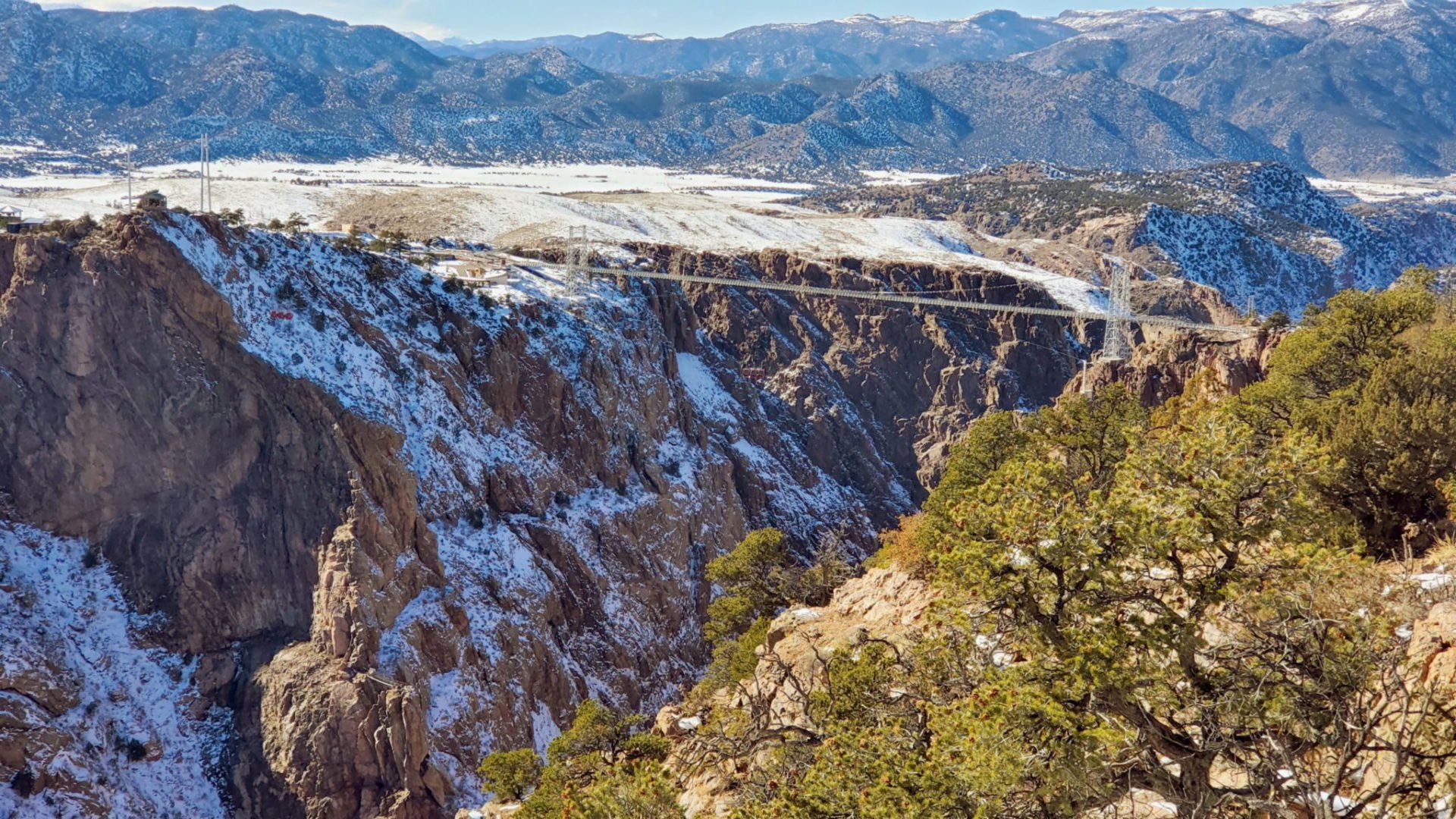
The highest suspension bridge in the U.S. can be found 955′ above the Royal Gorge. The bridge is made of steel and wire, and it’s 1,260 feet long and 18 feet wide. It has two towers that are 150 feet tall, and each cable supporting the bridge contains 2,100 wires, which spans the Arkansas river. In 2018, the bridge underwent a major renovation, which included the installation of a new lighting system. The system has over 200 fixtures that can produce millions of color combinations, creating a stunning visual display at night.
Landmark: Highest operating train track in the U.S.
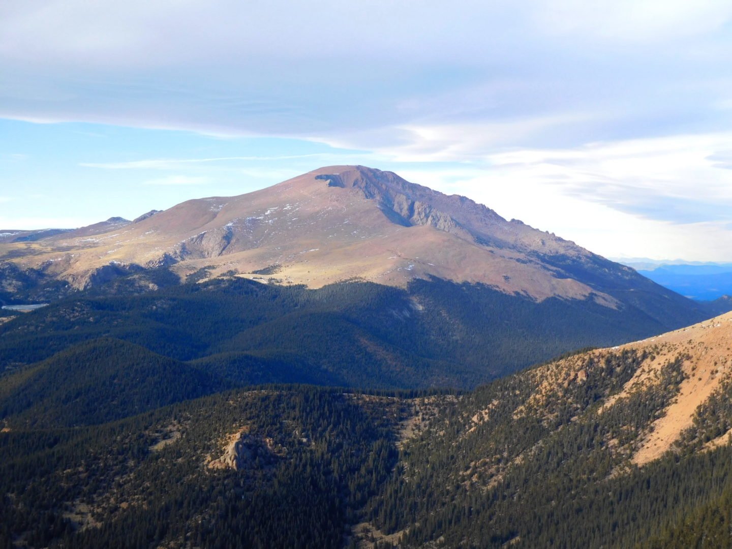
The Pikes Peak Cog Railway is the highest operating train track in the U.S., reaching the summit of Pikes Peak at 14,110 feet. The railway was built in 1891 and has been in operation ever since, making it one of the oldest and most famous cog railways in the world. The journey on the Pikes Peak Cog Railroad is a unique and breathtaking experience, as passengers ride up the steep incline of the mountain on a train with a unique cog wheel system. The train climbs over 8,000 feet in just over 8 miles, providing stunning views of the surrounding mountains and valleys. The Pikes Peak Cog Railroad is not just a tourist attraction, but also an important part of Colorado’s history. The railway was originally built to transport supplies and workers to the summit of Pikes Peak for the construction of a weather observatory.
Landmark: Tallest sand dunes in the U.S.
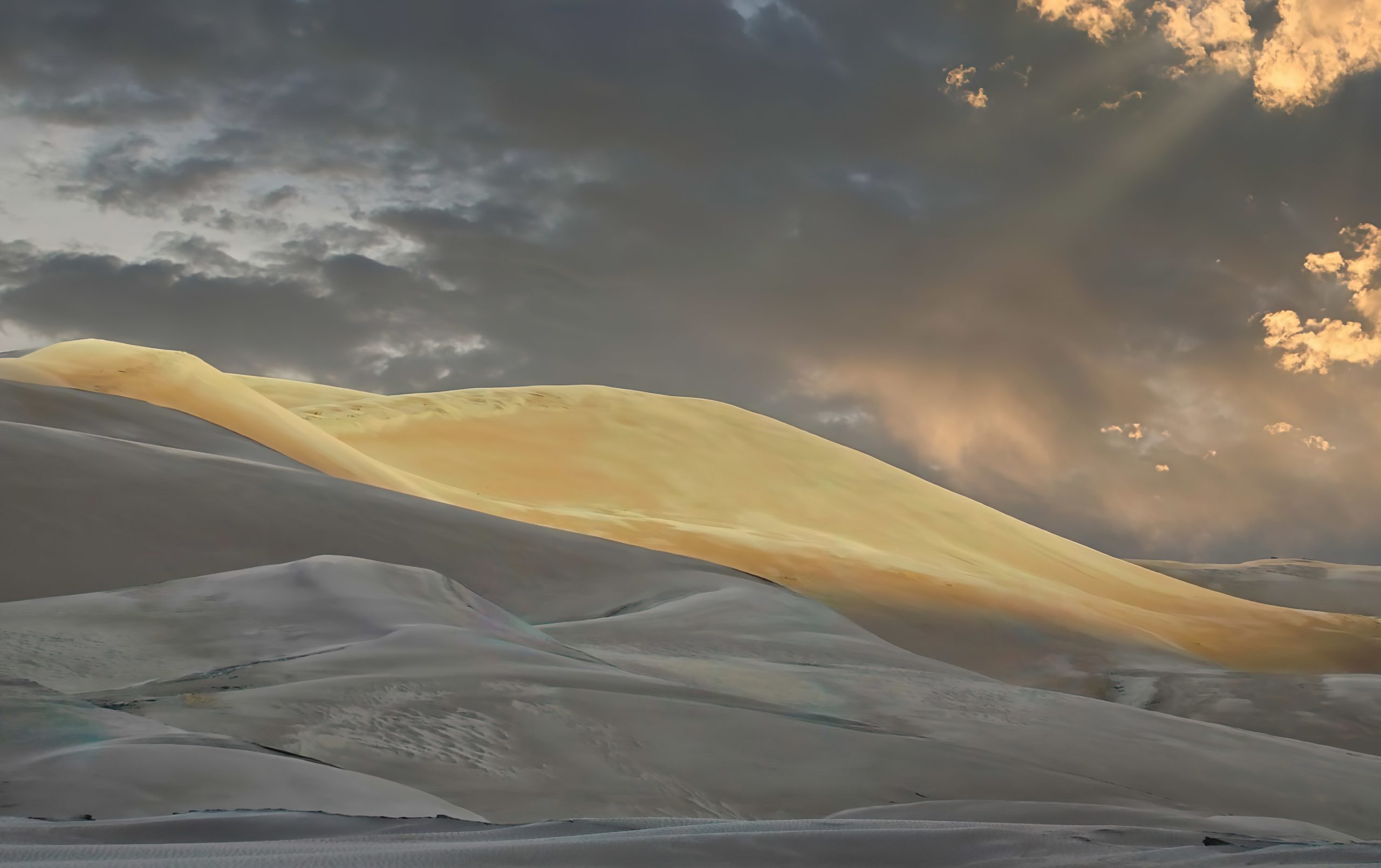
The Great Sand Dunes National Park and Preserve contains the tallest sand dunes in North America, rising about 750 feet from the floor of the San Luis Valley at the western base of the Sangre de Cristo Range. The dunes cover about 19,000 acres (7,700 ha). Researchers estimate that the dunes started forming less than 440,000 years ago, which is recent in geological times. The park’s sand dunes are constantly shifting and changing shape, with the largest dunes moving up to 3 feet per year. The park was established as a national monument in 1932, and was upgraded to a national park and preserve in 2004. The park is a popular spot for stargazing, with minimal light pollution and clear skies providing excellent views of the night sky.
Landmark: Highest gem field in North America
Mt Antero (14,269′) boasts North America’s highest gem field. In 1881, a Salida man by the name of Nelson Wanemaker discovered gems high on Mt Antero. His discovery was publicized, and the mountain became a famous collecting area for aquamarine, phenacite, fluorite, topaz, and smoky quartz crystals. It has the highest concentration of these minerals anywhere in the US, with findings far above timberline, this is the highest known gem field in the U.S. In 2011, a 10-inch, 243-carat aquamarine crystal was discovered, making it one of the largest gemstones ever found in North America. The mountain is located in the San Isabel National Forest and is part of the Collegiate Peaks Wilderness area. The geology of Mount Antero and its surrounding area is unique, with the mountain itself being composed primarily of granite, while the surrounding valleys are filled with sedimentary rocks.
Landmark: The largest archaeological preserve in the U.S
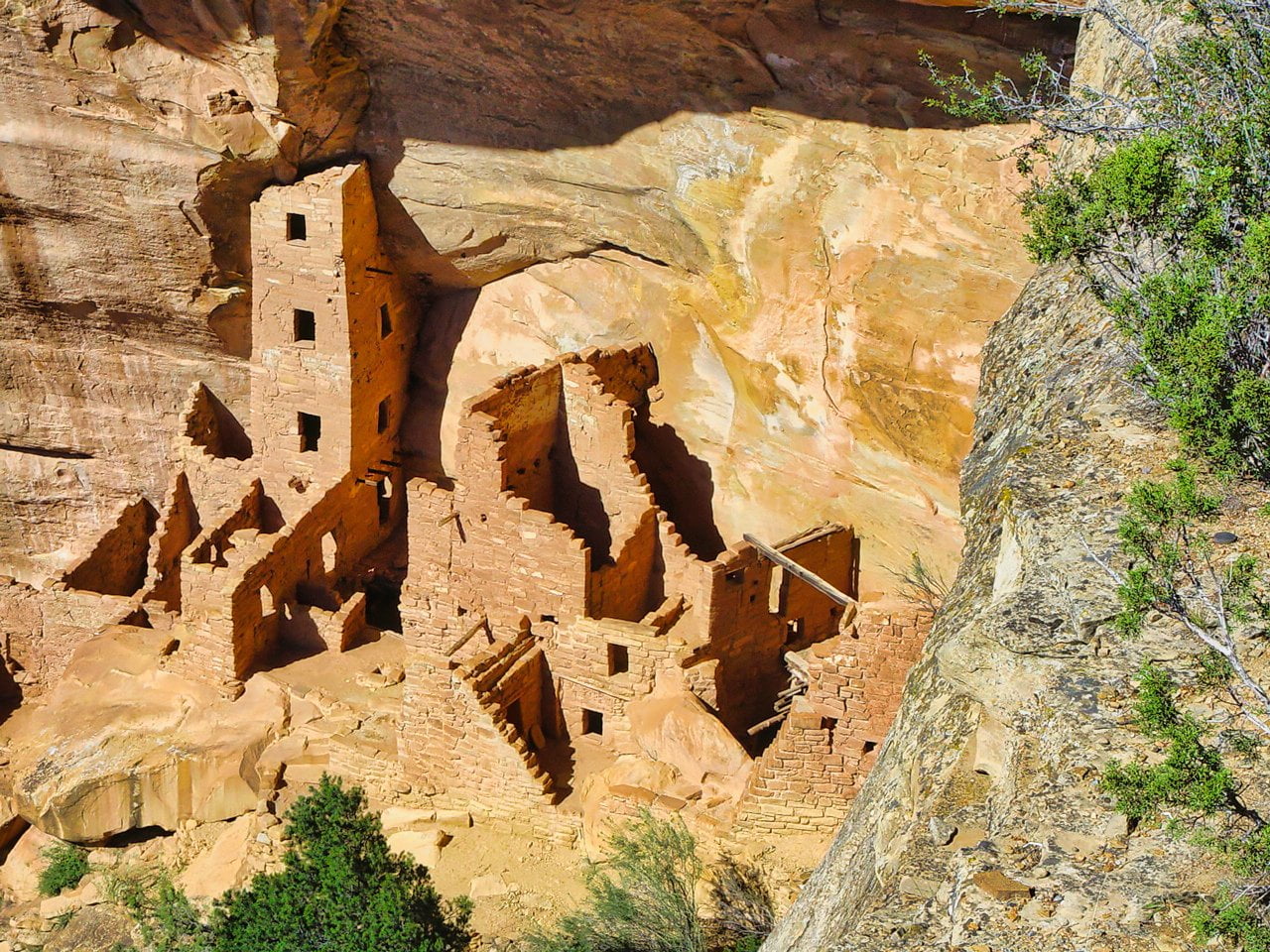
Mesa Verde National Park is s the largest archaeological preserve in the U.S, with more than 5,000 sites, including 600 cliff dwellings. Mesa Verde National Park is a UNESCO World Heritage Site, protecting some of the best-preserved Ancestral Puebloan archaeological sites in the United States. The Mesa Verdeans survived using a combination of hunting, gathering, and subsistence farming of crops such as corn, beans, and squash. They built the mesa’s first pueblos sometime after 650 A.D., and by the end of the 12th century, they began to construct the massive cliff dwellings for which the park is best known. By 1285, following a period of social and environmental instability driven by a series of severe and prolonged droughts, they abandoned the area and moved south to locations in Arizona and New Mexico.
Landmark: Largest dinosaur track site in North America
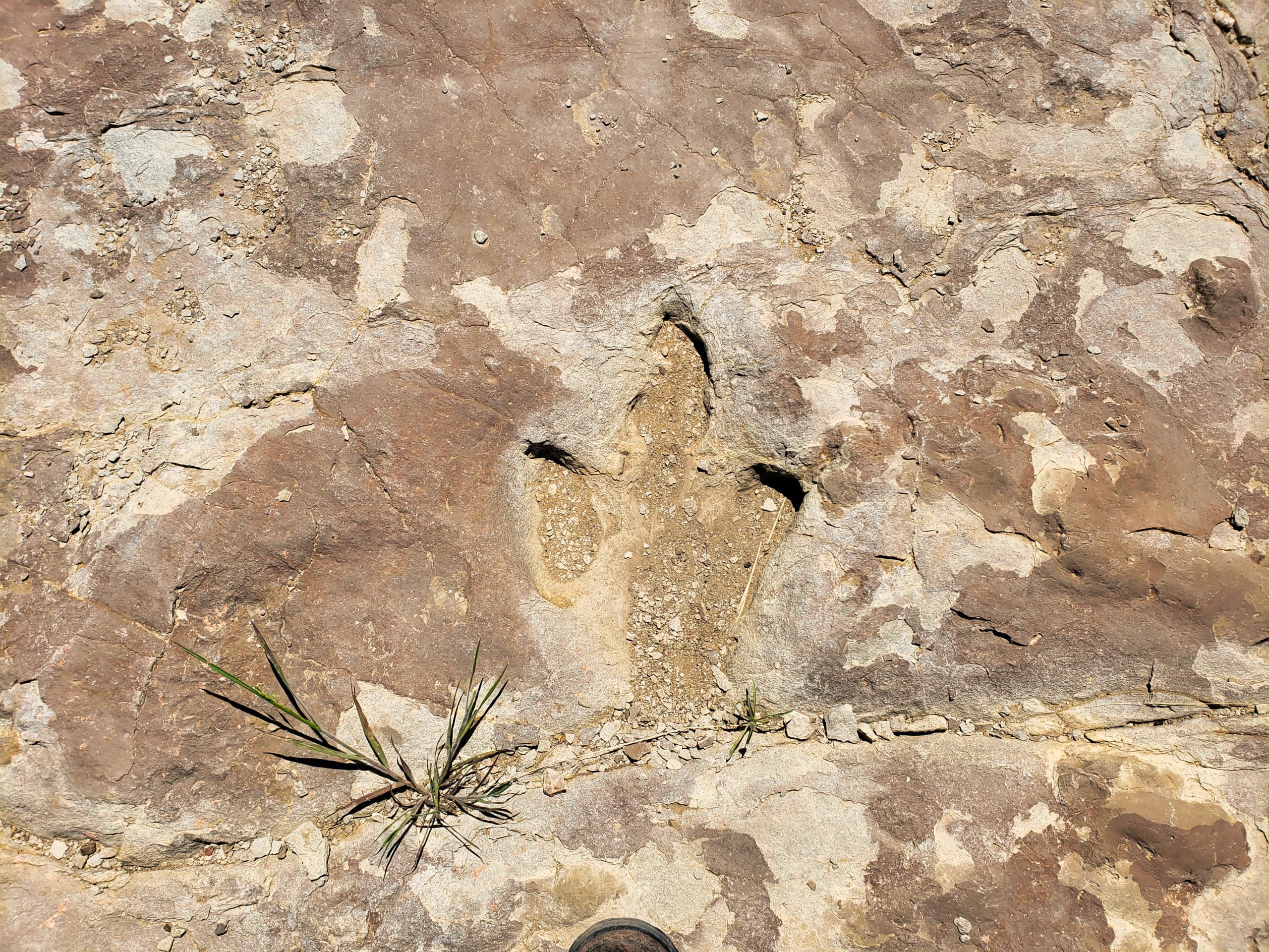
Picket Wire (Purgatoire) Canyonlands, in the Comanche National Grasslands, is home to the largest dinosaur track site in North America. At least eight different types of dinosaurs, including the massive Brontosaurus left thier mark here. 150 million years ago this area was part of a large shallow lake and was teaming with Brontosaurs and Allosaurs. As these massive beasts plodded along the muddy edge of this lake, they left their footprints in the mud, which were eventually buried and turned to stone. Today, over 1,300 of these footprints, extending a 1/4 mile, are exposed at the Picket Wire Canyonlands dinosaur track site. The canyon is situated on the Comanche National Grassland, which is one of the largest publicly-owned grasslands in the United States.
Landmark: World renowned site for stock and dike geology
The Spanish Peaks are world class examples of “stocks” and “dikes”. Stocks are large masses of igneous (molten) rock which forced their way into seams of the sedimentary rock which eroded more quickly over time. East Peak is a nearly circular stock about 5.5 miles long by 3 miles wide while West Peak is a stock about 2.75 miles long by 1.75 miles wide. The other structures, hundreds of dikes which radiate out from the two mountains, were formed in the same way, but instead of a large pool of molten rock, the magma filled cracks in the soft sedimentary layer. Erosion wore away the softer sedimentary rock leaving dikes (walls) of granite rock up to 100′ high, 100′ wide, and 14 miles long. This scenic combination of two stocks (West Spanish Peak and East Spanish Peak) and hundreds of unique dikes is second to none with it’s size, diversity and beauty.
Landmark: Tallest cliff in Colorado
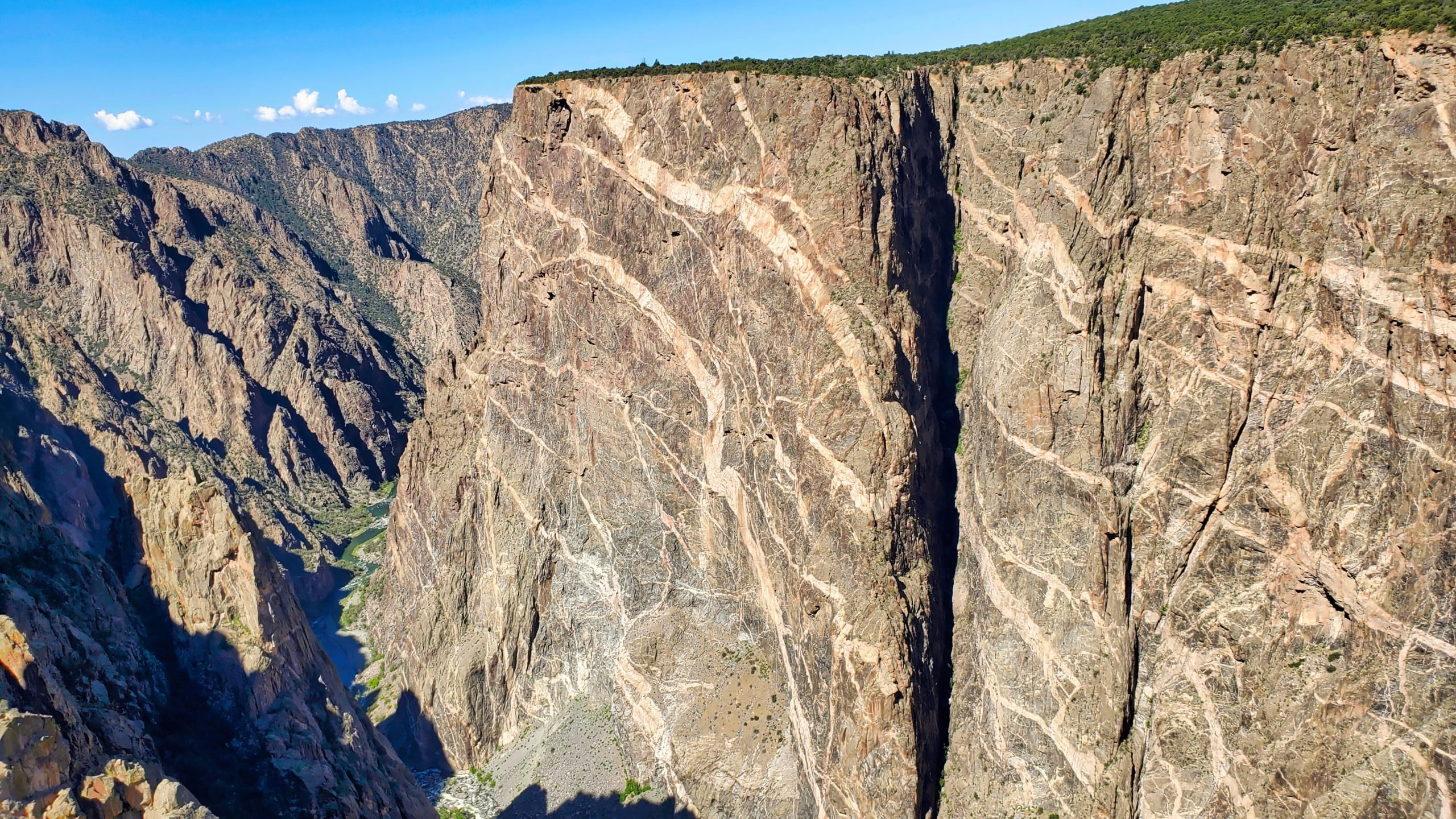
The Painted Wall in the Black Canyon of the Gunnison National Park is the tallest cliff in Colorado at 2,250′. The Black Canyon of the Gunnison park contains 12 miles of the 48-mile long Black Canyon of the Gunnison River. The Black Canyon of the Gunnison is a steep-walled gorge carved by the Gunnison River over the course of 2 million years. The canyon is one of the deepest in North America, with depths of up to 2,700 feet. The canyon’s name comes from the long shadows, where portions of the gorge only receive 1/2 hr of sunlight a day. The rock is Precambrian in age, which means it was formed over 1.7 billion years ago.
Landmark: One of the first two National Forests
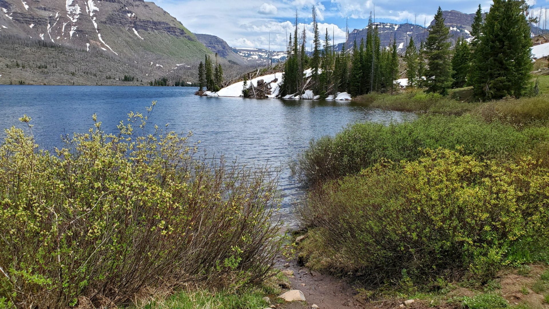
In 1891 the White River area became one of the first two U.S. National Forests. It covers an area of 2.3 million acres and is the most visited national forest in the country. The forest has more than 2,500 miles of trails that wind through scenic valleys, alpine lakes, and high mountain peaks, making it such a popular destination. The forest is named after the White River, which flows through the area and is one of the primary sources of water for the Colorado River. The White River National Forest is managed by the US Forest Service which is committed to preserving the natural beauty and resources of the area for future generations to enjoy.
Landmark: Lowest elevation in Colorado
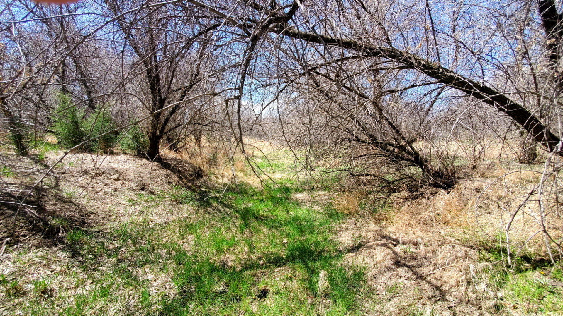
The point where the Arikaree River flows out of Colorado and into Kansas is the lowest point in Colorado, at an elevation of 3,317 feet. It holds the distinction of being the highest low point of any U.S. state, and higher than the highest points of 18 states and the District of Columbia. The Arikaree River is one of the designated areas under the Colorado Natural Areas Program because it is “part of the largest and best remaining examples of a naturally functioning Great Plains river systems in Colorado.” It has several species of reptiles, fish, and amphibians that are native and uncommon.


