Mt Sniktau (13,234′), Front Range
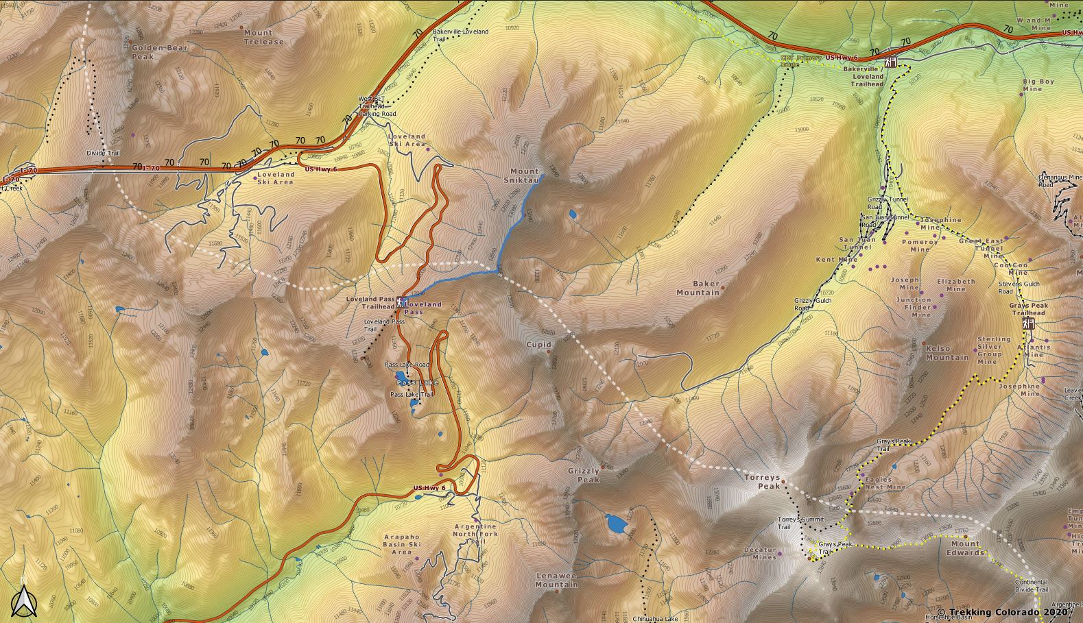
Mount Sniktau sits just east of the Continental Divide on the Front Range of the Rocky Mountains. The summit is located less than a mile south of Interstate 70, and east of the Eisenhower Tunnel. Despite being close to an Interstate and being one of the windiest places in Colorado, Mt Sniktau made the list because of the epic views from the summit.
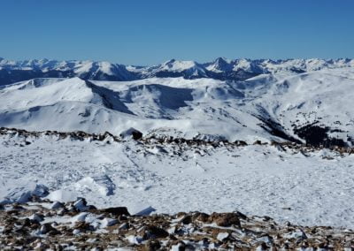
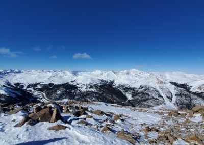
From the ridge, you will see Loveland Pass below at 11,990 ft (3,655 m), Torreys Peak (14,267′), with Grays Peak (14,270′) popping up behind it to the southeast. There are too many more peaks to list that you can see from the summit, but some others include Mt. Evans 14,264′, Quandary Peak (14,265′), Mt. Parnassus (13er), Mt. Bard (13er), Longs Peak 14,255′, and Mt. of the Holy Cross (14,005). Also visible is the Tenmile/Mosquito Range and hundreds of other peaks. To the west are the ski runs of Loveland Ski Area, Arapahoe Basin, Keystone, and Breckenridge across the Continental Divide. What a view!
The name “Sniktau” refers to the pen name of Edwin H. N. Patterson, journalist and editor of the Colorado Miner in the Clear Creek County area during the 1860s. Patterson was a close friend of the famous poet, Edgar Allan Poe.
Trail Stats
- Trailhead: Grizzly Peak / Loveland Pass
- Round trip: 4 miles / 6.4 km
- Elevation: 11,990′ – 13,234′ / 3,655 m – 4,034 m
- County: Clear Creek
- Forest: Arapaho
Trail Pictures
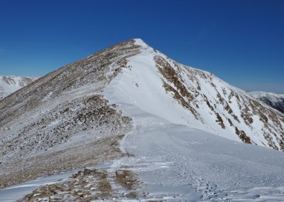
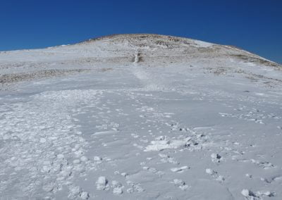
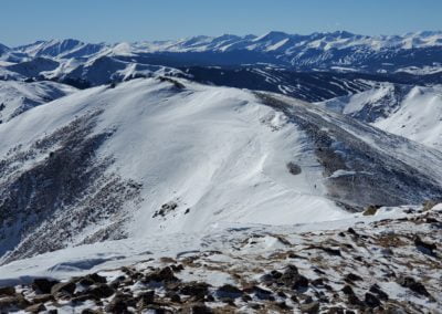
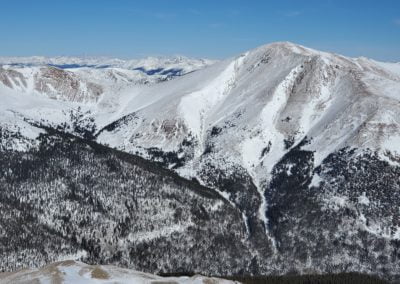
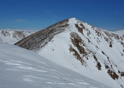
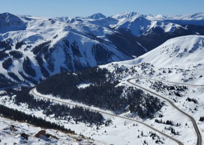
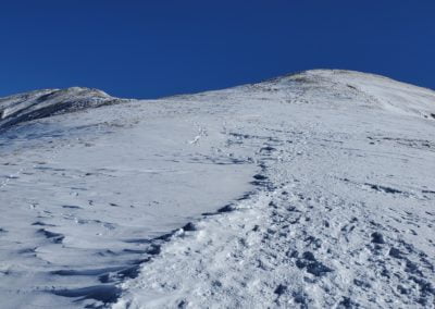
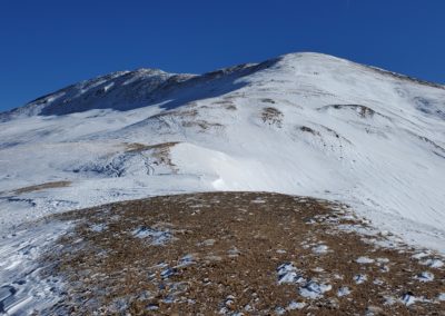
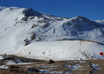
On the climb to the ridge with Loveland Pass below
On the climb to the ridge with Loveland Pass below
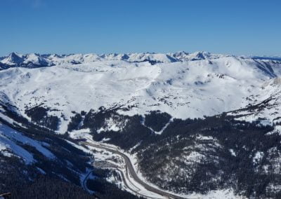
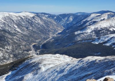
I-70 Eisenhower Tunnel – highest point on U.S. interstate system
I-70 Eisenhower Tunnel – highest point on U.S. interstate system
I-70 Eisenhower Tunnel – highest point on U.S. interstate system
I-70 Eisenhower Tunnel – highest point on U.S. interstate system
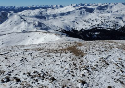
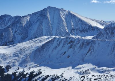
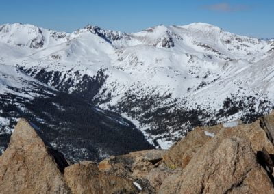
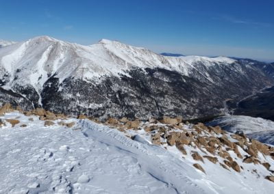
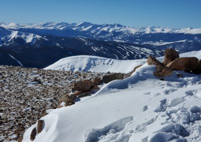
Mt. Parnassus (13,574′) and Bard Peak (13,641′) from the summit of Mt. Sniktau
Mt. Parnassus (13,574′) and Bard Peak (13,641′) from the summit of Mt. Sniktau
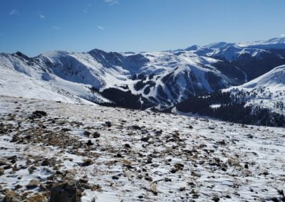
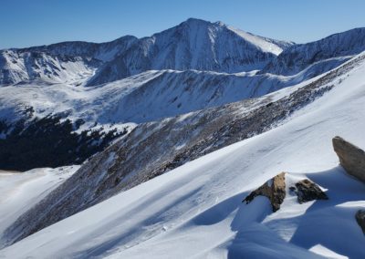
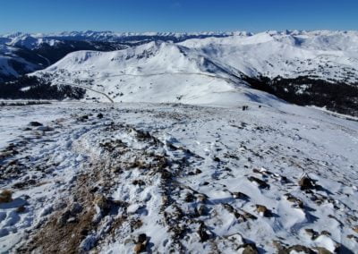
View of Quandary Peak 14,265′ in the distance (left of center)
View of Quandary Peak 14,265′ in the distance (left of center)
GPS Route with Elevation
Video Tour
Trail Directions
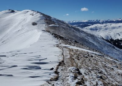
From the parking lot, head east towards Mt Sniktau. You’ll first climb to the saddle at point 12,915, a mile ahead of you. After gaining the ridge, take a left (north) to continue up the southwest ridge. Head towards another bump which is a false summit at 13,152 feet.
Hike through a short rocky section to reach the final false summit. You can now see the remaining route to reach the true peak’s summit. Keep hiking and drop about 250 feet into the saddle before you ascend for another quarter mile to reach the summit.
Trailhead Directions

