Arikaree River (3,317′), Eastern Plains
The point where the Arikaree River flows out of Colorado and into Kansas is the lowest point in Colorado, at an elevation of 3,317 feet (1,011 m).
It holds the distinction of being the highest low point of any U.S. state, and higher than the highest points of 18 states and the District of Columbia.
The Arikaree River has been made one of the designated areas under the Colorado Natural Areas Program because it is “part of the largest and best remaining example of a naturally functioning Great Plains river system in Colorado.” It has several species of reptiles, fish, and amphibians that are native and uncommon. The area is a sanctuary for many bird species, including burrowing owls, ferruginous hawks, and greater prairie chickens. The habitat is near-pristine and there are high-quality riparian and native prairie plants.
Trail Stats
- Trailhead: None
- Round trip: 2 miles / 1.3 km
- Elevation: 3,397′ – 3,317′ / 1,035 m – 1,011 m
- County: Yuma
- Agency: Colorado Natural Areas Program

Trail Pictures

View of the river basin from the road
View of the river basin from the road

The Arikaree River outlined by trees in the distance
The Arikaree River outlined by trees in the distance

Beautiful purple flowers near the river
Beautiful purple flowers near the river

Early Spring with trees just starting to bud
Early Spring with trees just starting to bud
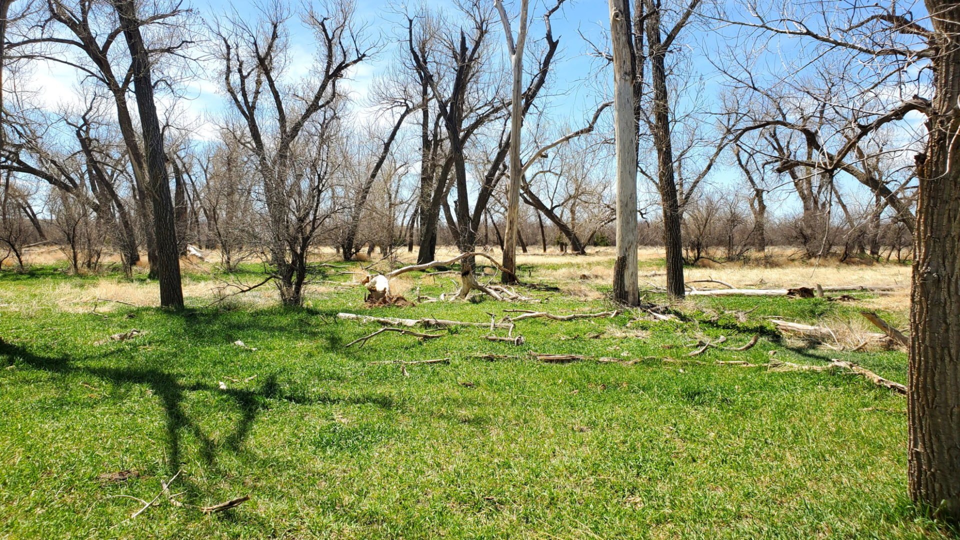
View along the Arikaree River river bed.
View along the Arikaree River river bed.

A second embankment leads to the current stream bed.
A second embankment leads to the current stream bed.

Close to the Beecher Island Battlefield
Close to the Beecher Island Battlefield

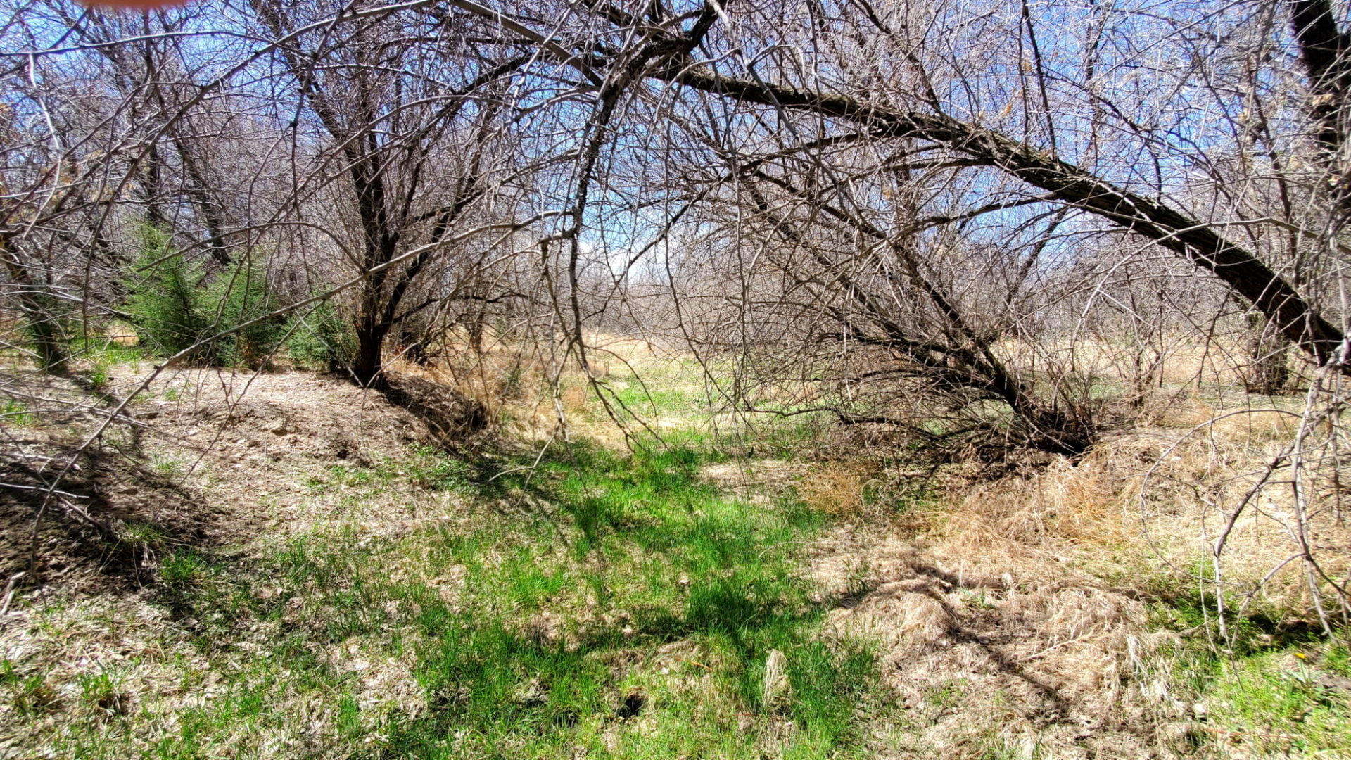
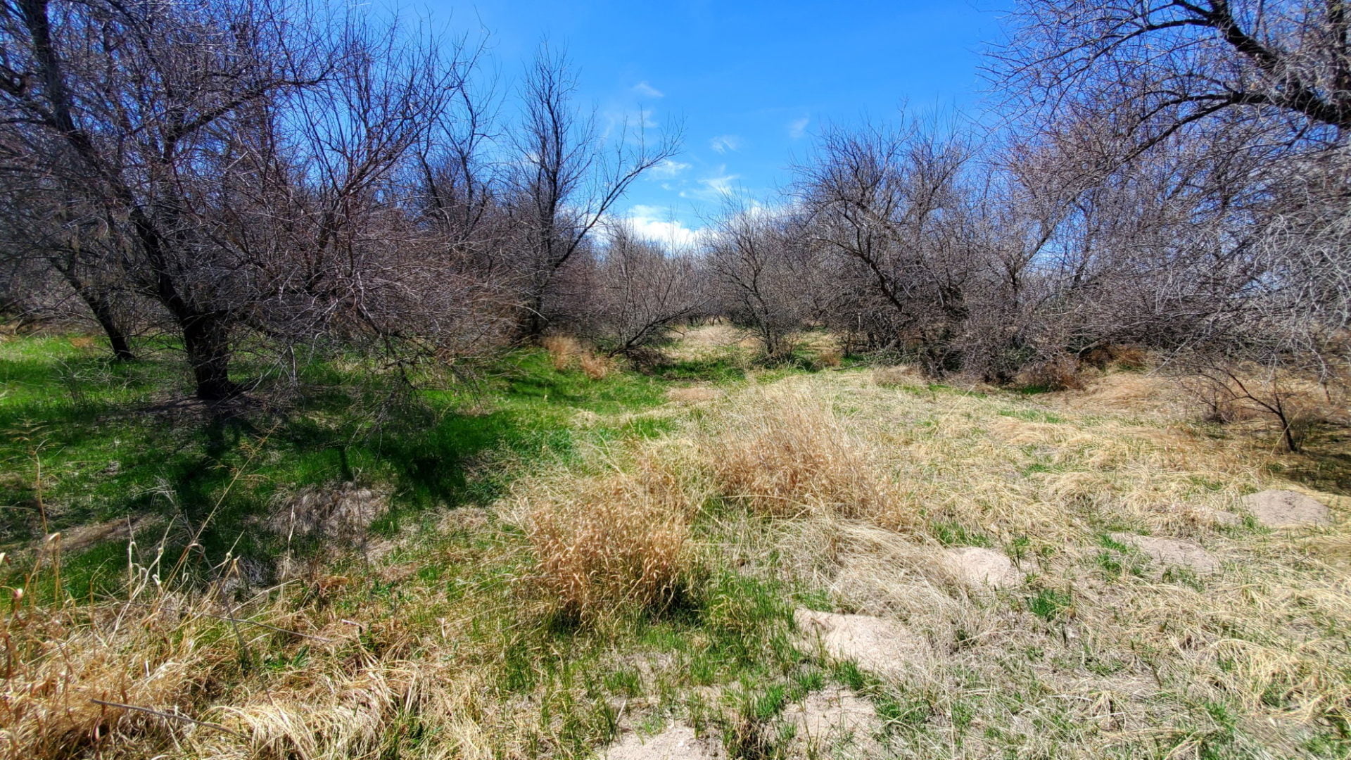
Vegetation in the old river bed
Vegetation in the old river bed
When the river was larger, this area was part of the riverbed.
When the river was larger, this area was part of the riverbed.

Trees growing down the first embankment
Trees growing down the first embankment
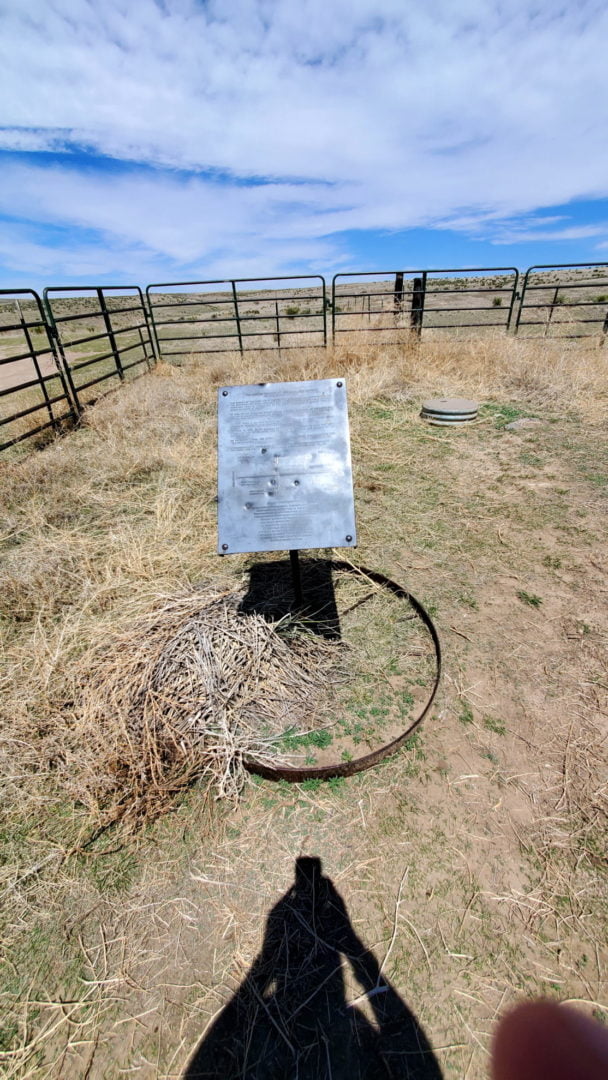
3 Corners – Colorado, Kansas, and Nebraska state line
3 Corners – Colorado, Kansas, and Nebraska state line

Sign for the 3 corners turnoff
Sign for the 3 corners turnoff
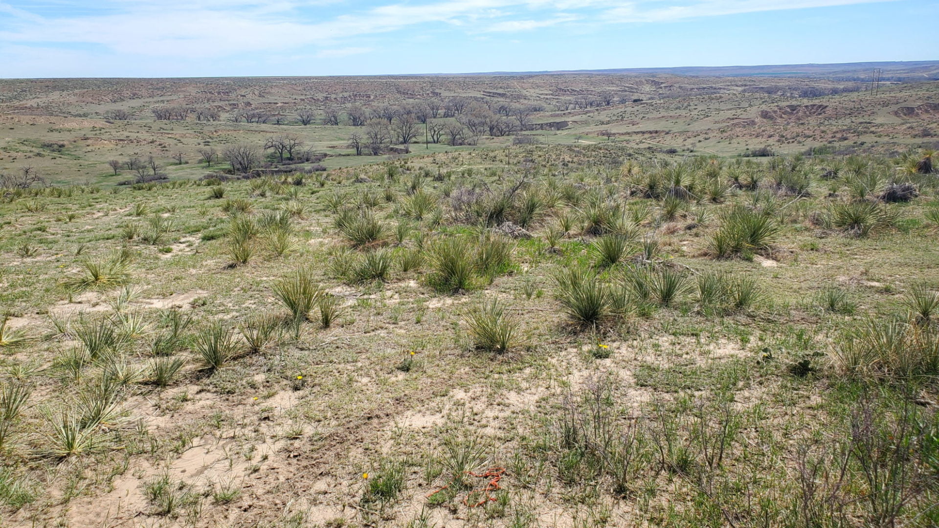
View Northeast of the Arikaree River valley
View Northeast of the Arikaree River valley
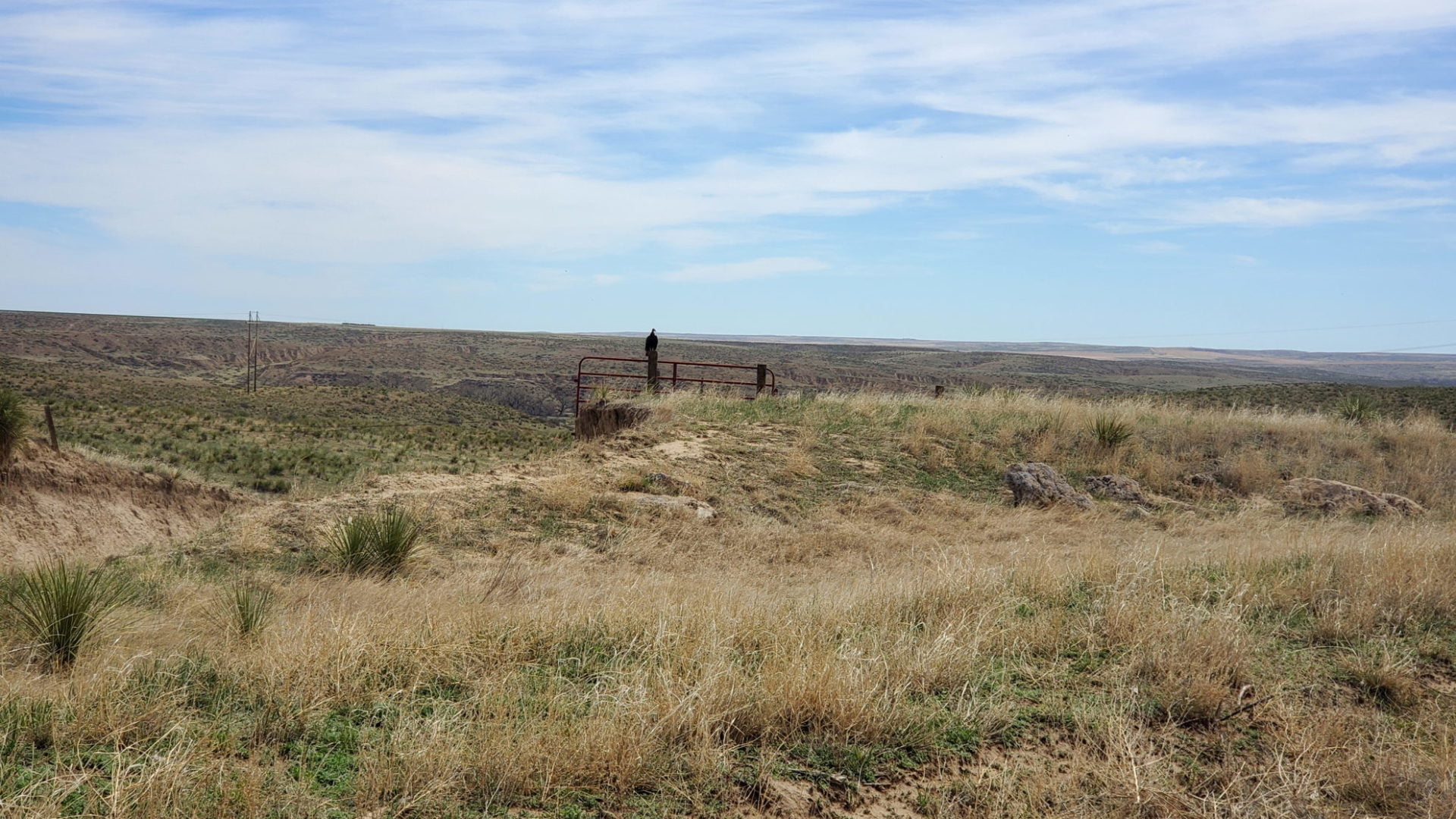
Vulture overlooking the river basin
Vulture overlooking the river basin
Arikaree River bottom
Arikaree River bottom
GPS Route with Elevation
All the elevation maps indicate the lowest point is approximately 3,317′. My GPS on the hike recorded elevations in the 3,200′ range. This may be because I was able to walk on the river bottom or possibly a calibration issue with my GPS device, I’m not sure.
Video Tour
Trail Directions
I was unable to find the recommended route to the Arikaree River basin near the Kansas border from resources online. I initially tried to access the basin from the south, but the area was fenced and looked like I had to cross private property.
I then approached the basin from the north and found an unfenced area along the border. This is the route I took. I cannot recommend any route as I am not sure of the status of the area I crossed to get to the river.
The river itself did not have water flowing when I visited in early May. I was able to walk along the river bottom with only a few pools of water scattered along the route.
The approach from the north also provides access to the Tri-Corners area, where the Colorado, Kansas, and Nebraska borders meet. There is a road leading to the point and a plaque describing the area for visitors.
Trailhead Directions