West Spanish Peak (13,625′), Sangre de Cristo Range
West Spanish Peak (13,625′) and East Spanish Peak (12,684′) have world class geological features that made the two peaks a National Natural Landmark in 1976 and designated as a Wilderness Area in 2000. The peaks rise 6,000 ft from the edge of the eastern plains, and were used as a navigation aid for centuries for people heading west.
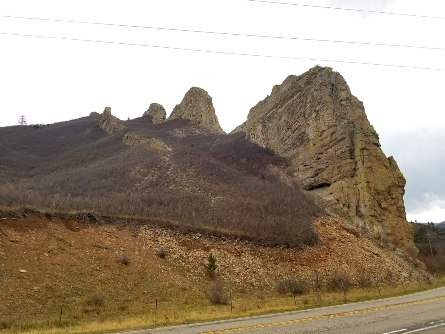
The Spanish Peaks are world class examples of “stocks” and “dikes”. Stocks are large masses of igneous (molten) rock which forced their way into seams of the sedimentary rock which eroded more quickly over time. East Peak is a nearly circular stock about 5.5 miles long by 3 miles wide while West Peak is a stock about 2.75 miles long by 1.75 miles wide.
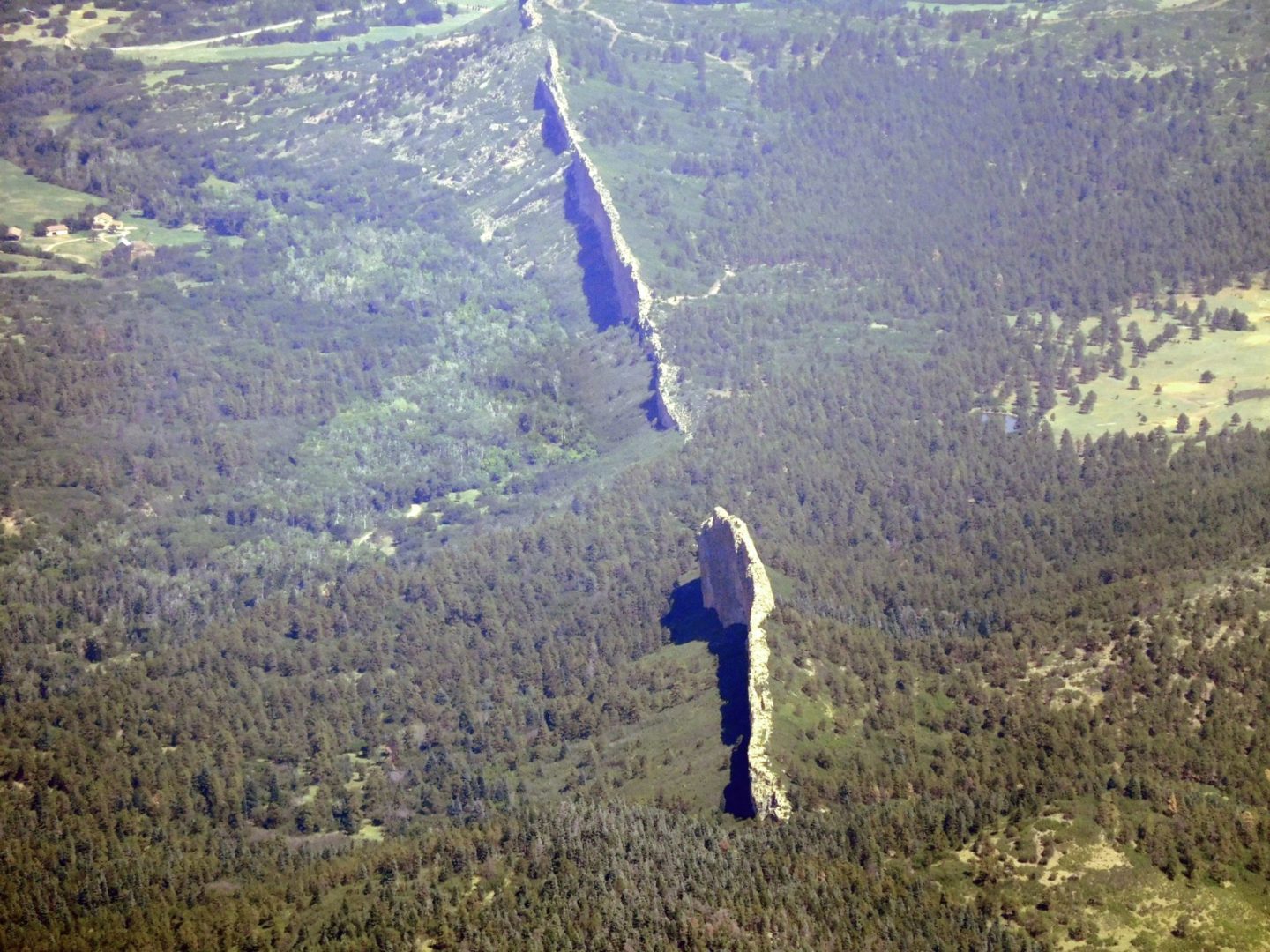
The other structures, hundreds of dikes which radiate out from the two mountains, were formed in the same way, but instead of a large pool of molten rock, the magma filled cracks in the soft sedimentary layer. Erosion wore away the softer sedimentary rock leaving dikes (walls) of granite rock up to 100′ high, 100′ wide, and 14 miles long. This scenic combination of two stocks (West Spanish Peak and East Spanish Peak) and hundreds of unique dikes is second to none with it’s size, diversity and beauty.
While in the area, just a short drive west on Hwy 160, is another geological wonder, Great Sand Dunes National Park and Preserve. Zapata Falls, which lies just outside the park, is also a favorite.
Trail Stats
- Trailhead: West Peak Trail (Cordova Pass)
- Round trip: 7.5 miles / 12 km
- Elevation: 11,276′ -13,625′ / 3,437 m – 4,153 m
- County: Las Animas
- Agency: U.S. Forest Service
- Nat’l Forest: San Isabel
- Nat’l Wilderness: Spanish Peaks

Trail Pictures
View along the upper trail
View along the upper trail
The trail flattens out near the summit
The trail flattens out near the summit
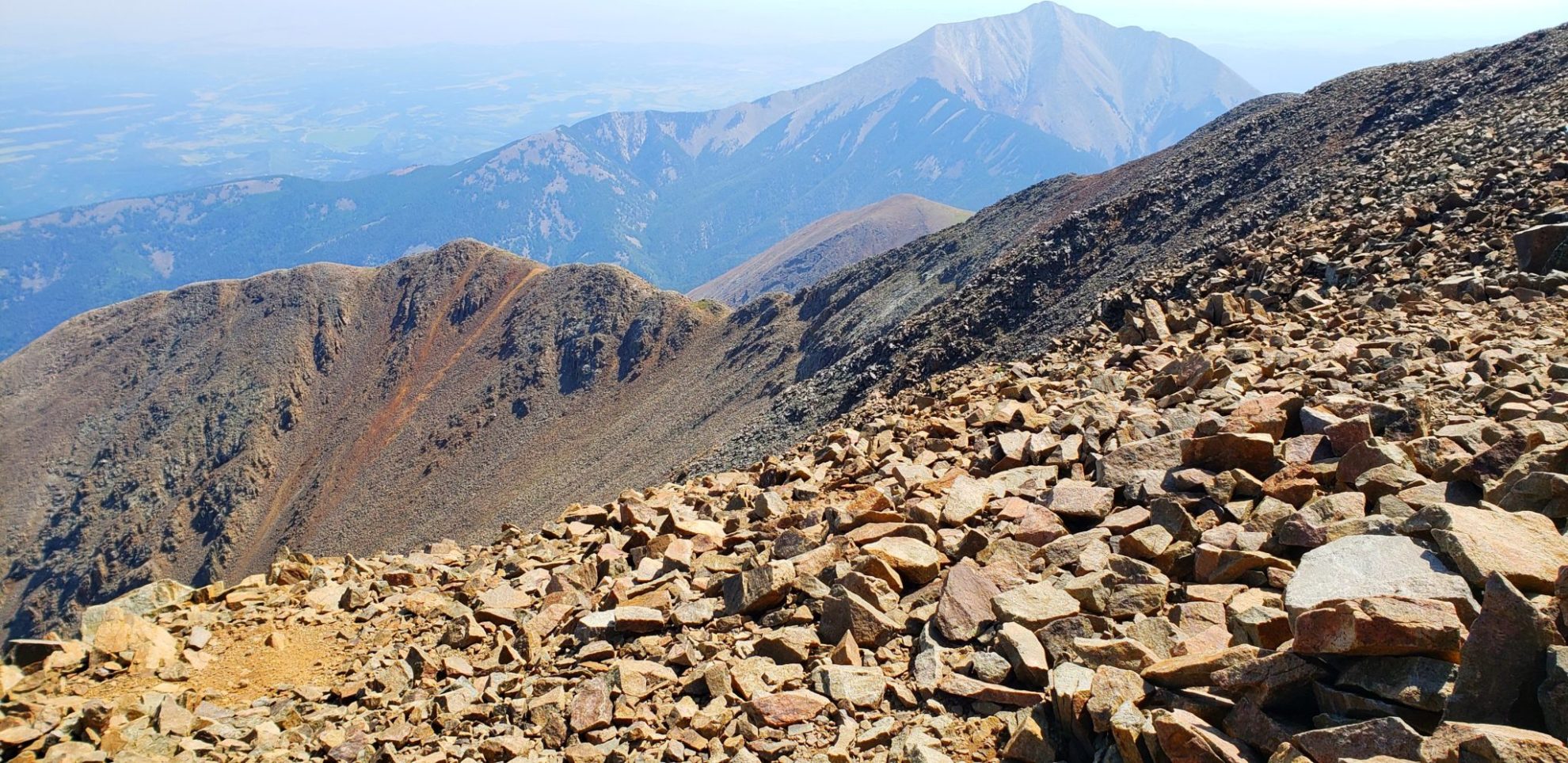
View of East Spanish Peak
View of East Spanish Peak
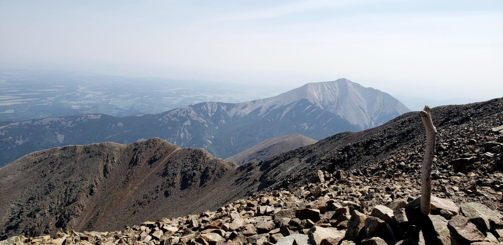
View of East Spanish Peak
View of East Spanish Peak
Heading back in the smoke filled air
Heading back in the smoke filled air
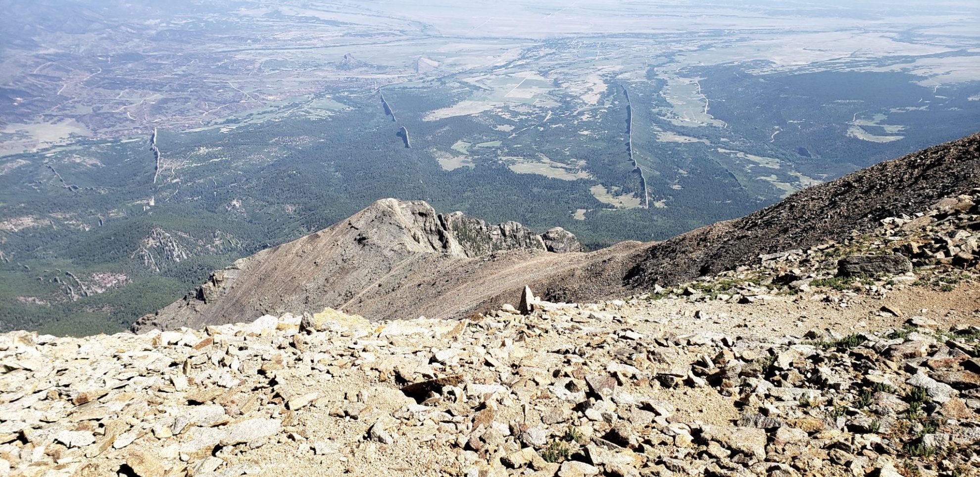
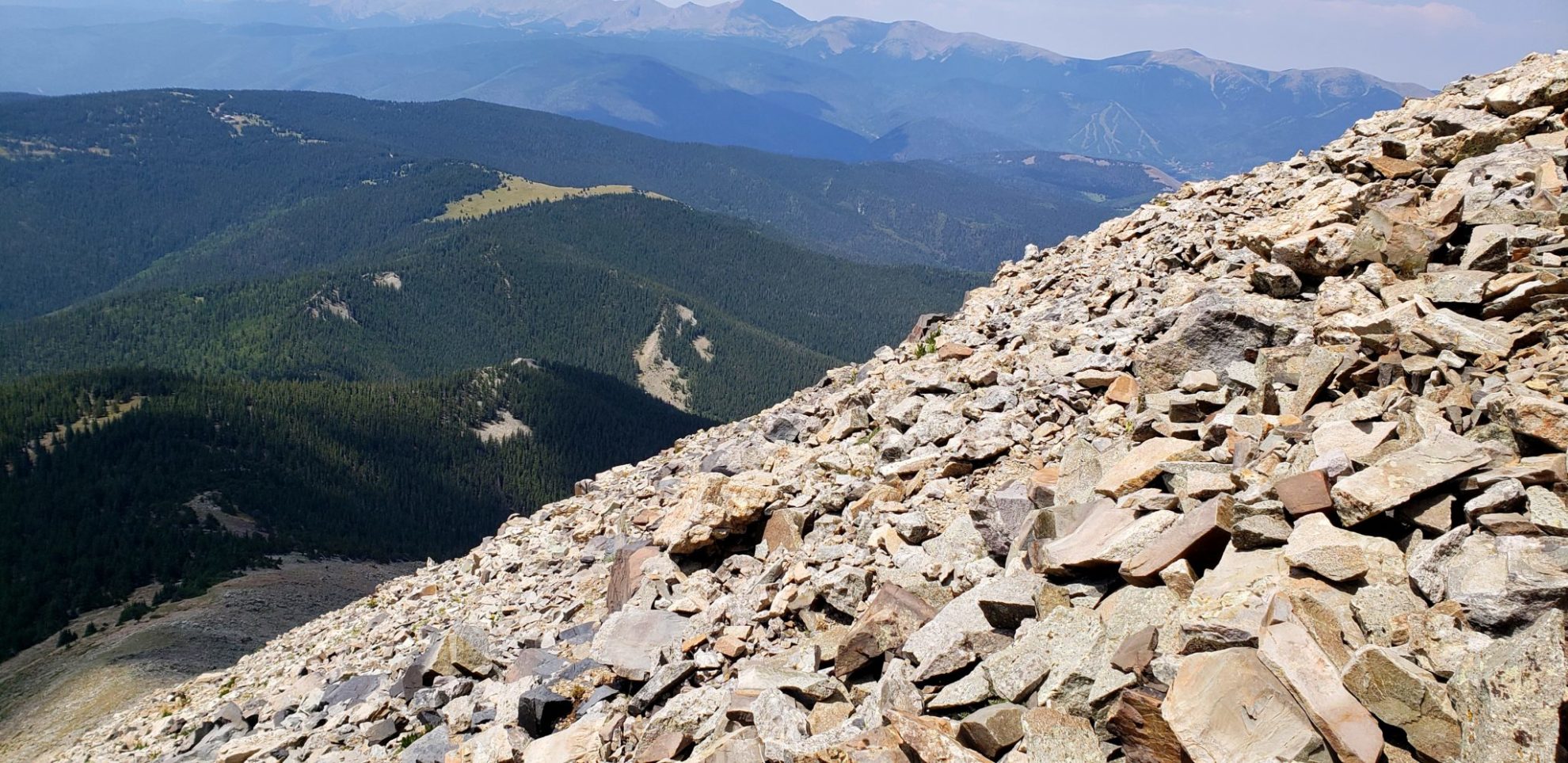
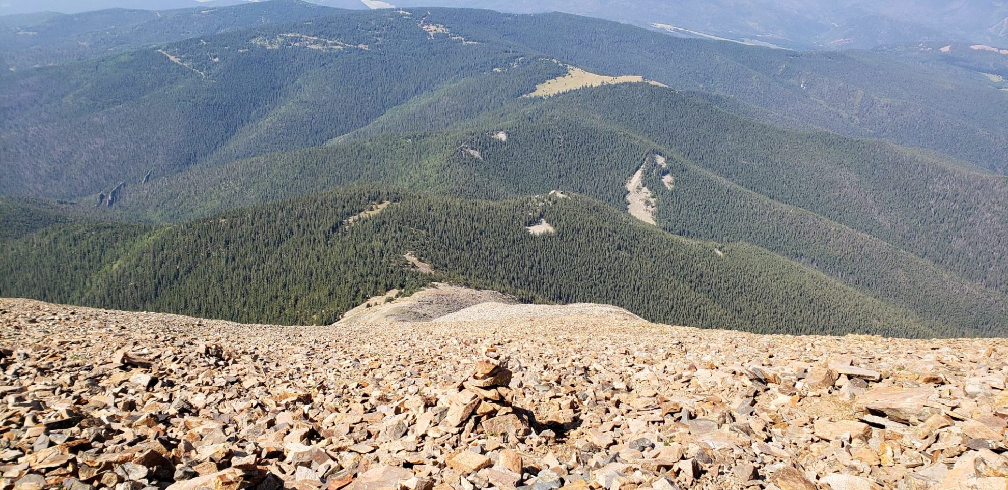
View of the dikes radiating out from the summit
View of the dikes radiating out from the summit
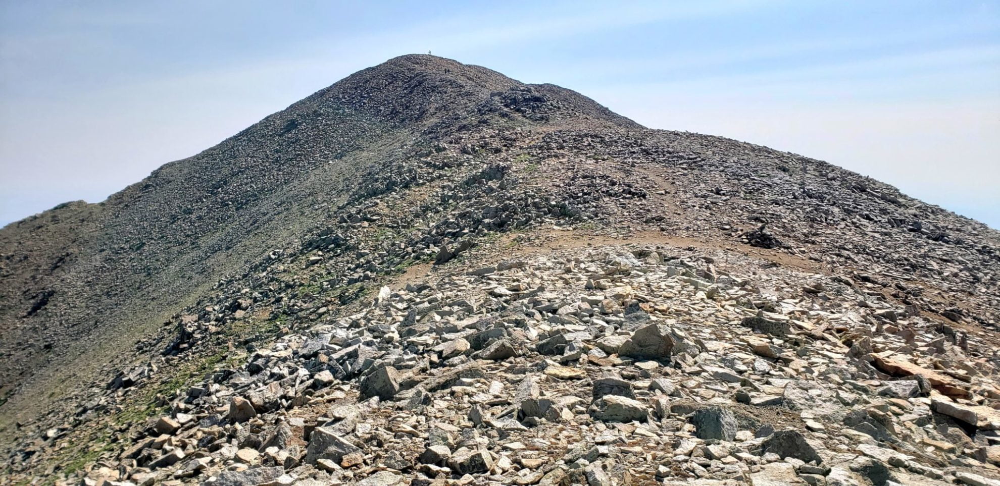
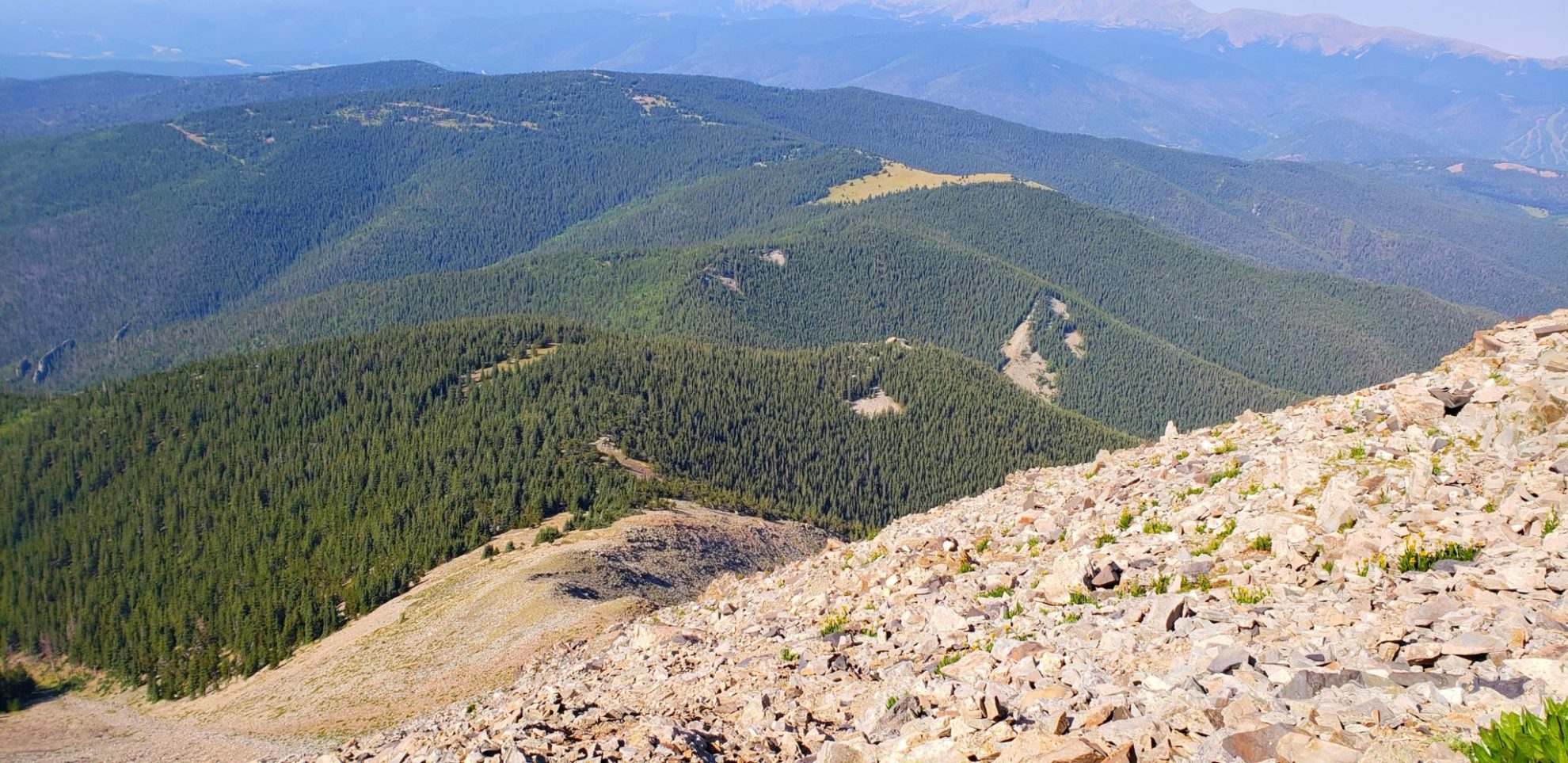
The summit in the distance
The summit in the distance
The final push to the summit over heavy talus
The final push to the summit over heavy talus
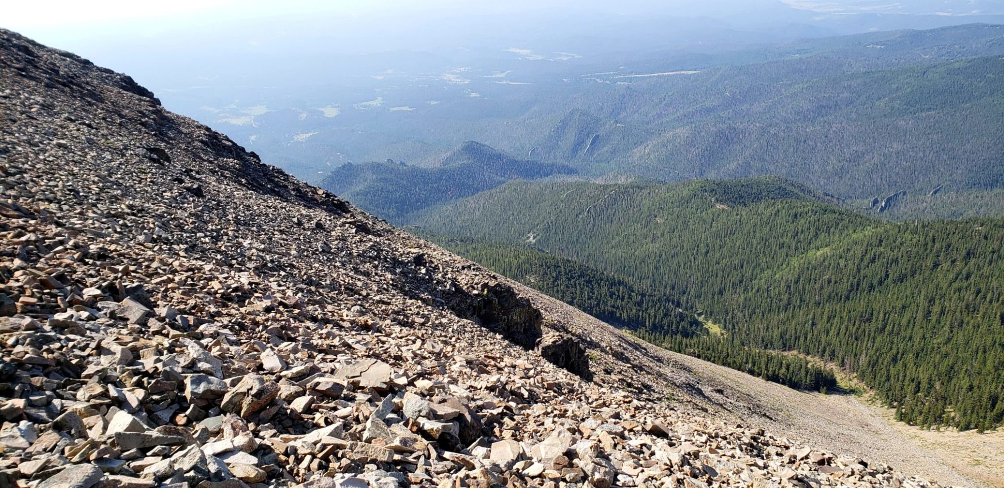
View down the steepest section of the trail
View down the steepest section of the trail
Heading up the steep slope
Heading up the steep slope
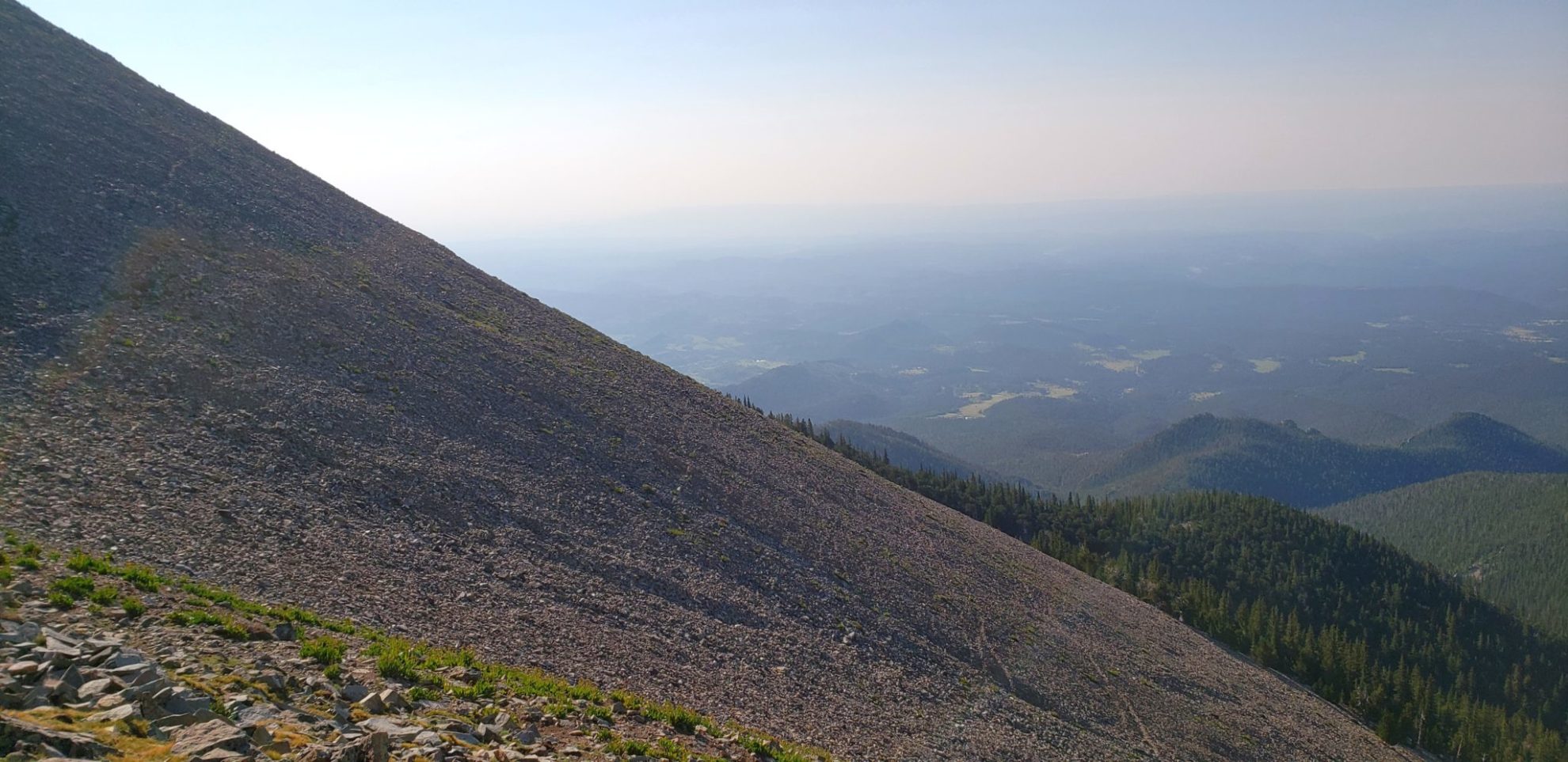
The view back
The view back
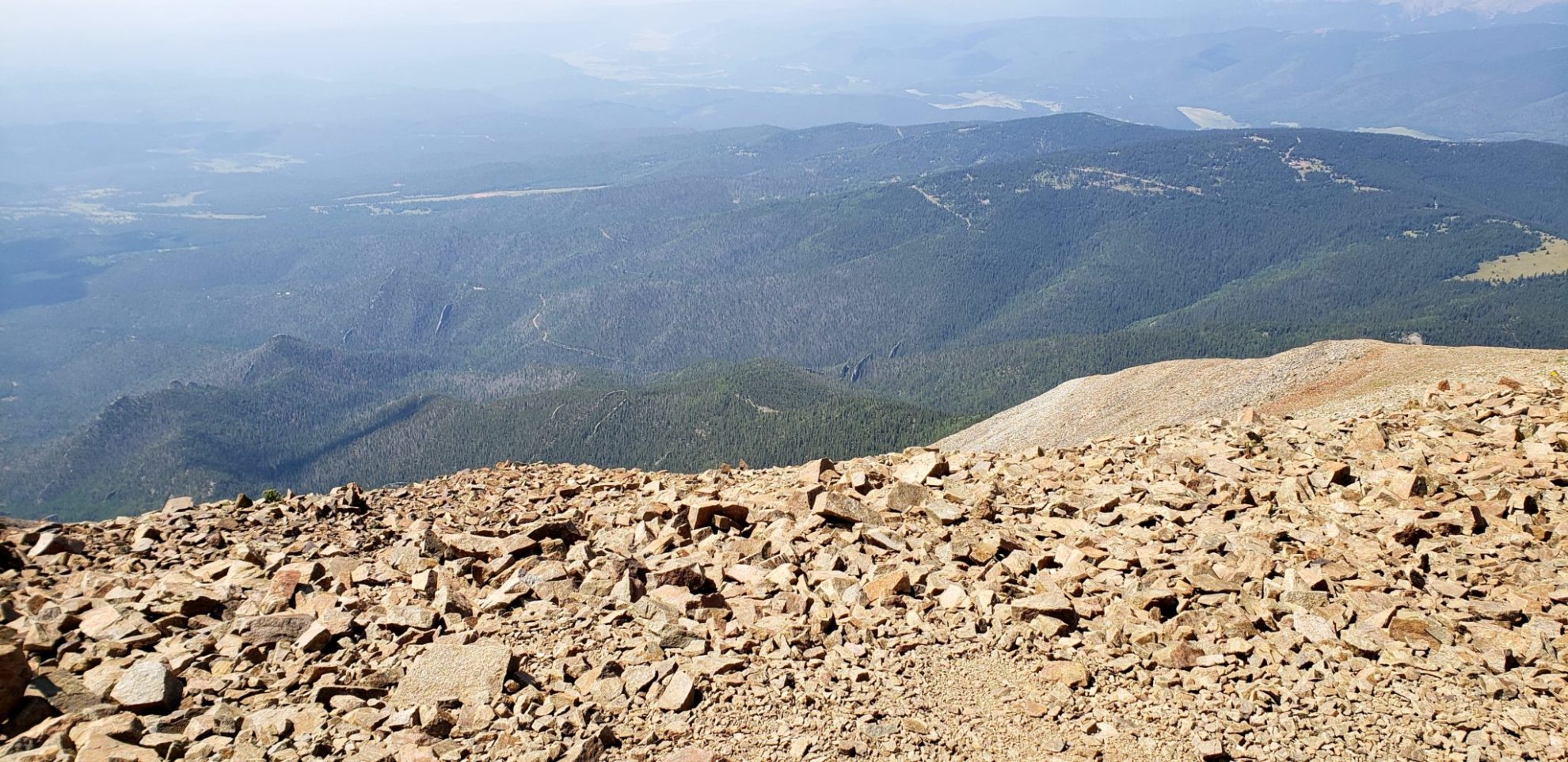
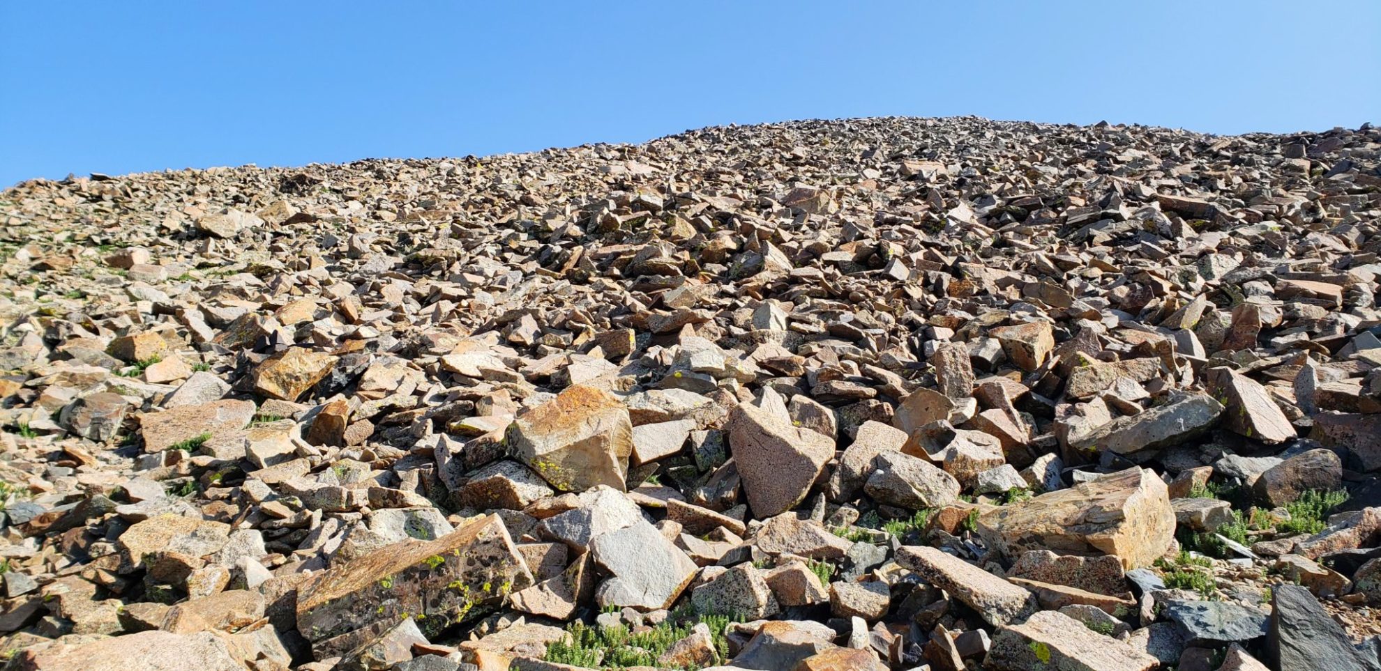
Large talus fields along the upper portion of the mountain
Large talus fields along the upper portion of the mountain
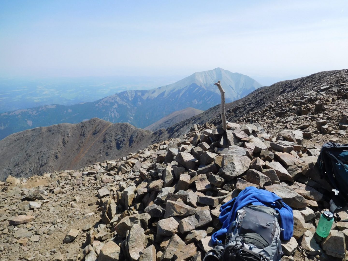
West Spanish Peak (13,625′) summit
West Spanish Peak (13,625′) summit
View of a dike from the summit
View of a dike from the summit

Dikes can be up to 14 miles long, 100′ tall, and 100′ wide
Dikes can be up to 14 miles long, 100′ tall, and 100′ wide
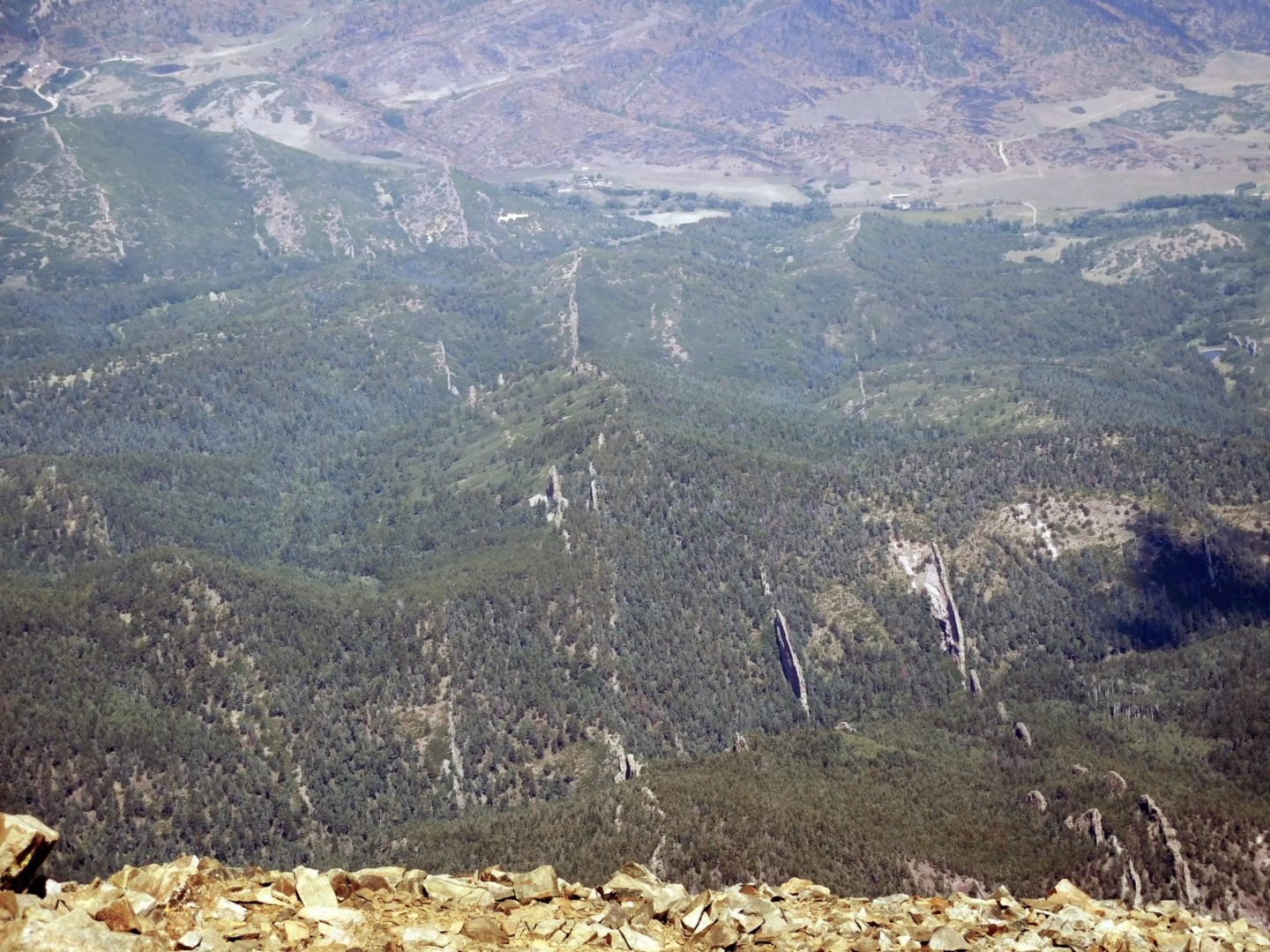
A section of dikes with less erosion around them
A section of dikes with less erosion around them
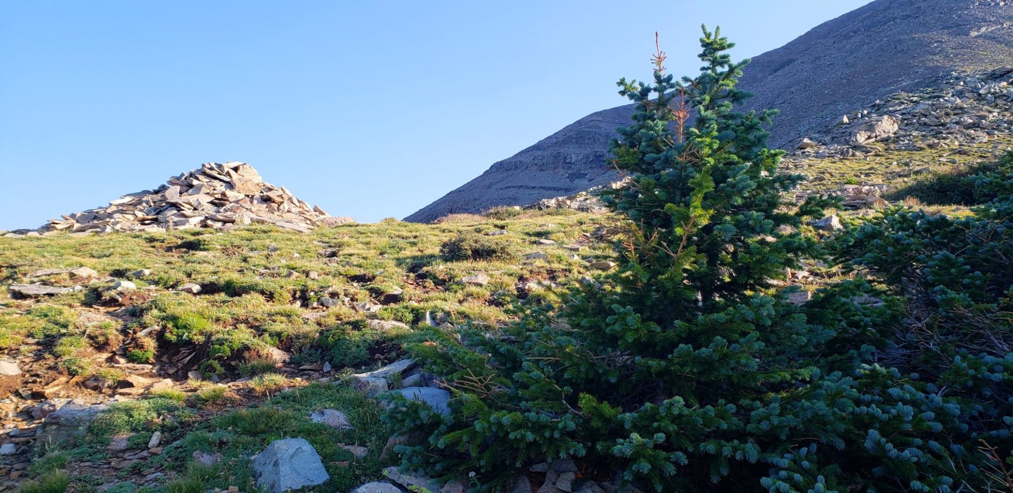
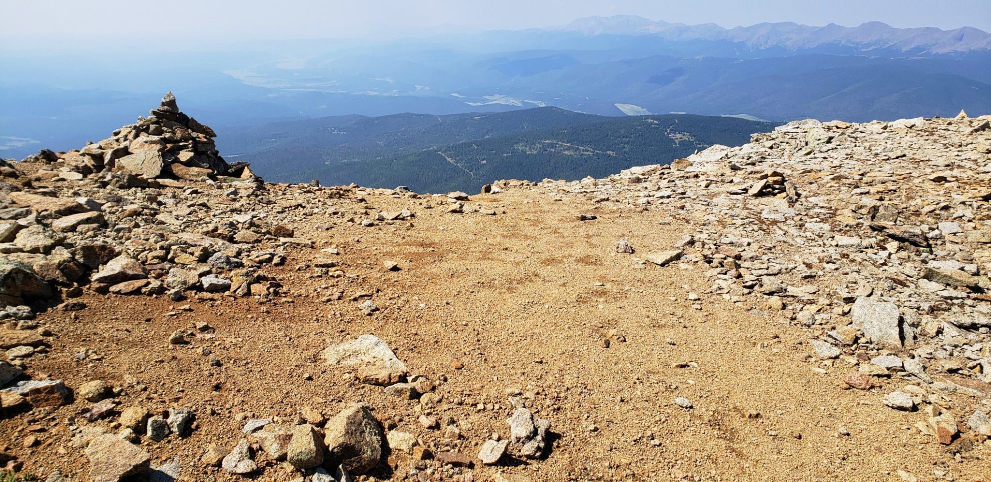
Large cairn just above treeline
Large cairn just above treeline
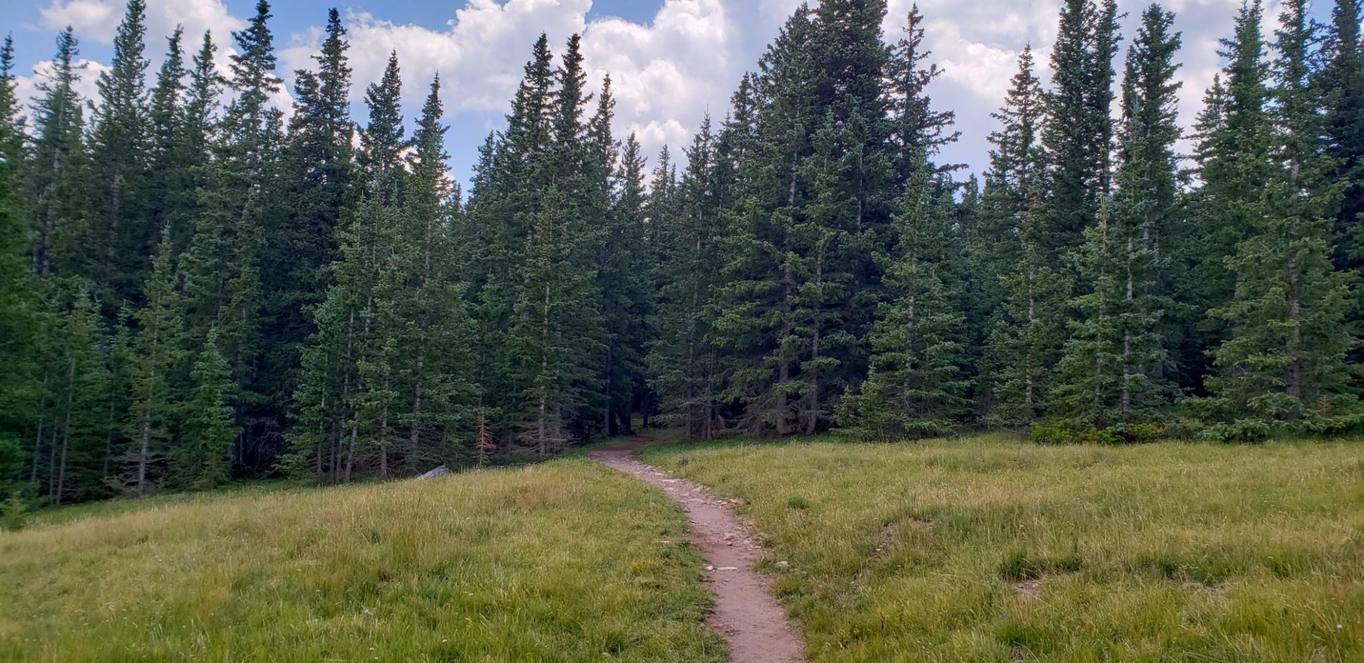
Through a meadow and into the forest
Through a meadow and into the forest

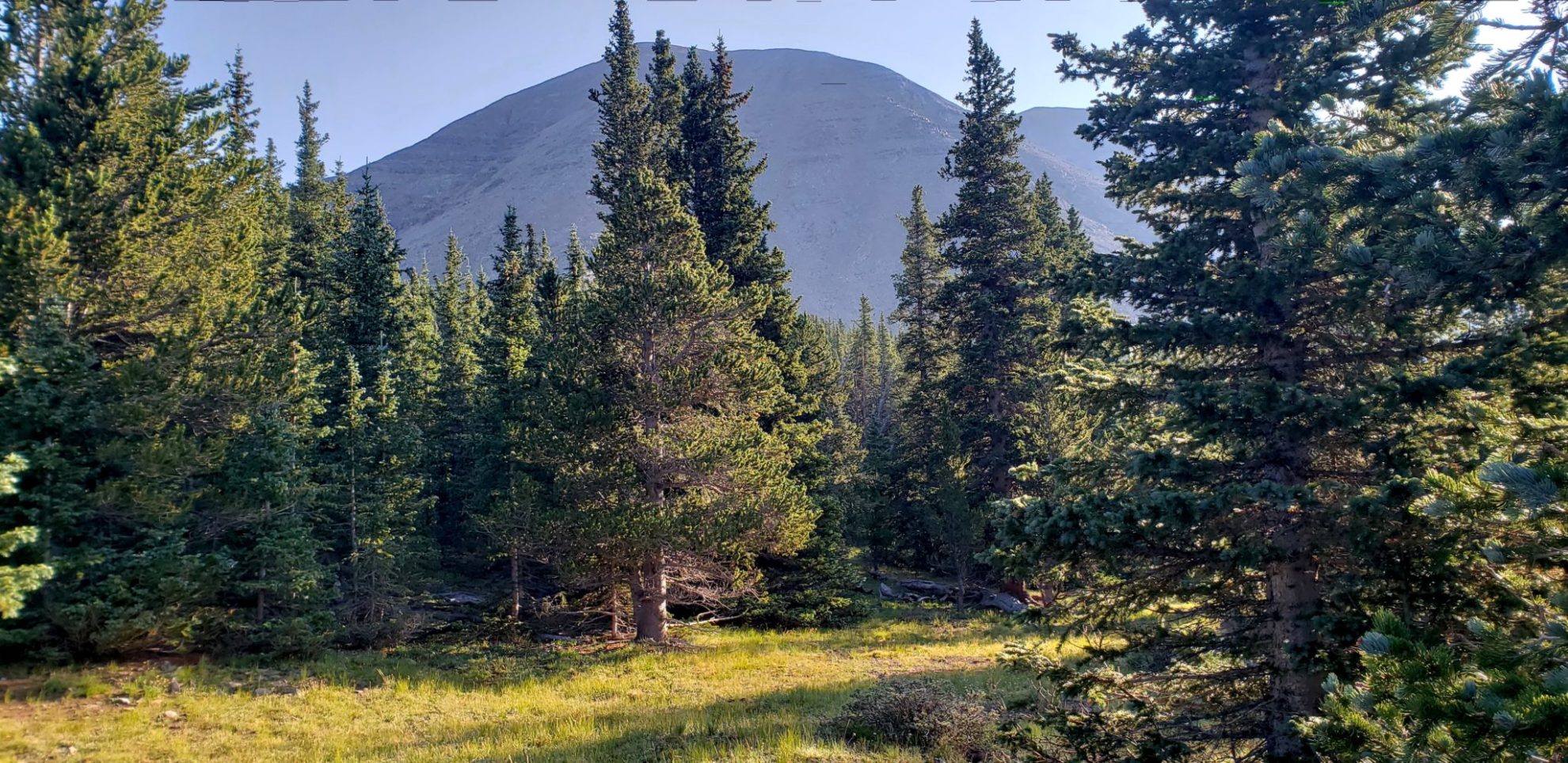
View of West Spanish Peak (13,265′)
View of West Spanish Peak (13,265′)

View of West Spanish Peak (13,265′)
View of West Spanish Peak (13,265′)

The view near treeline
The view near treeline
The peak in the distance
The peak in the distance
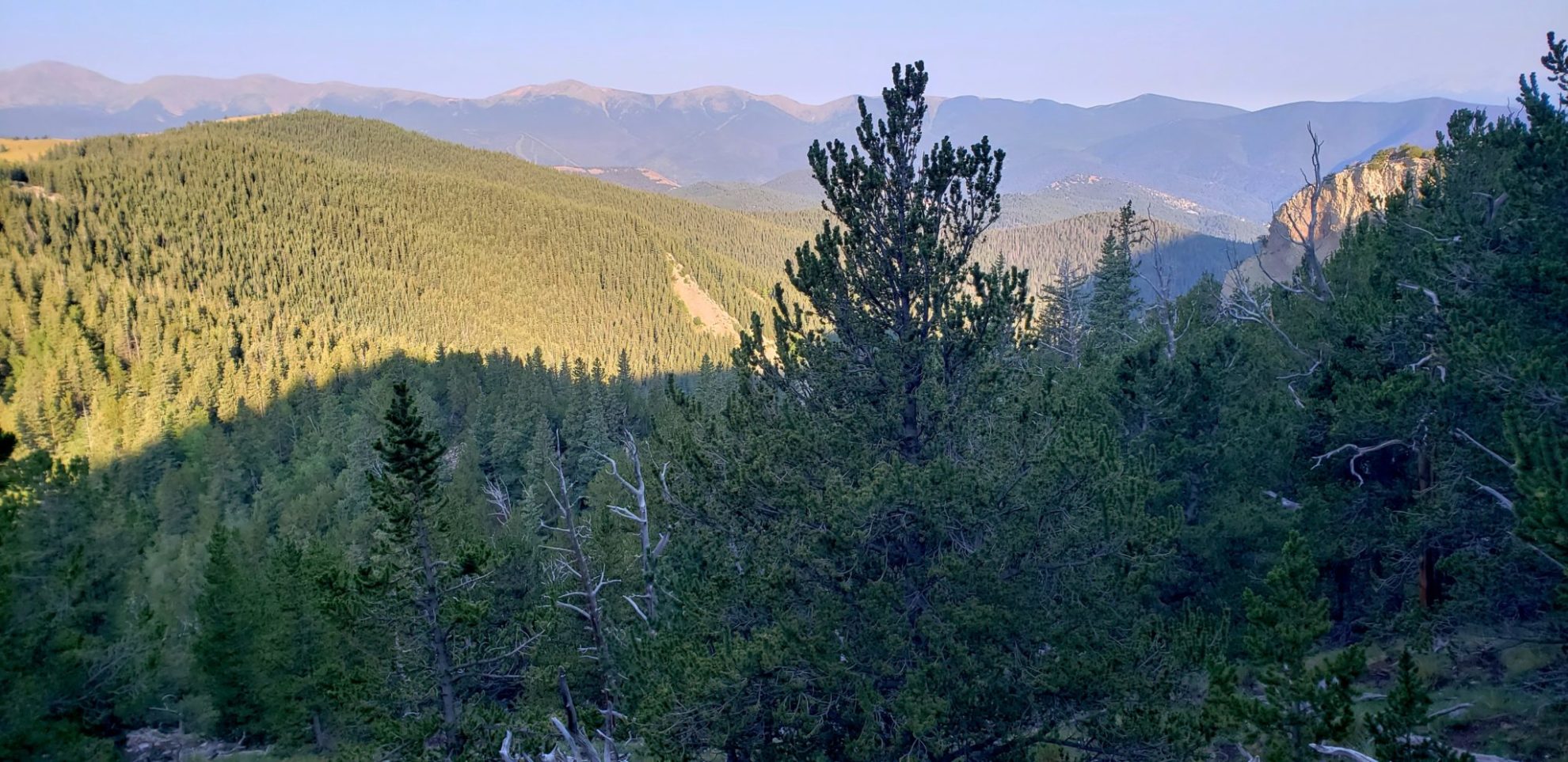
View to the west
View to the west

The trail after Vista Point
The trail after Vista Point

Smoke from wildfires creates an eerie sunrise
Smoke from wildfires creates an eerie sunrise
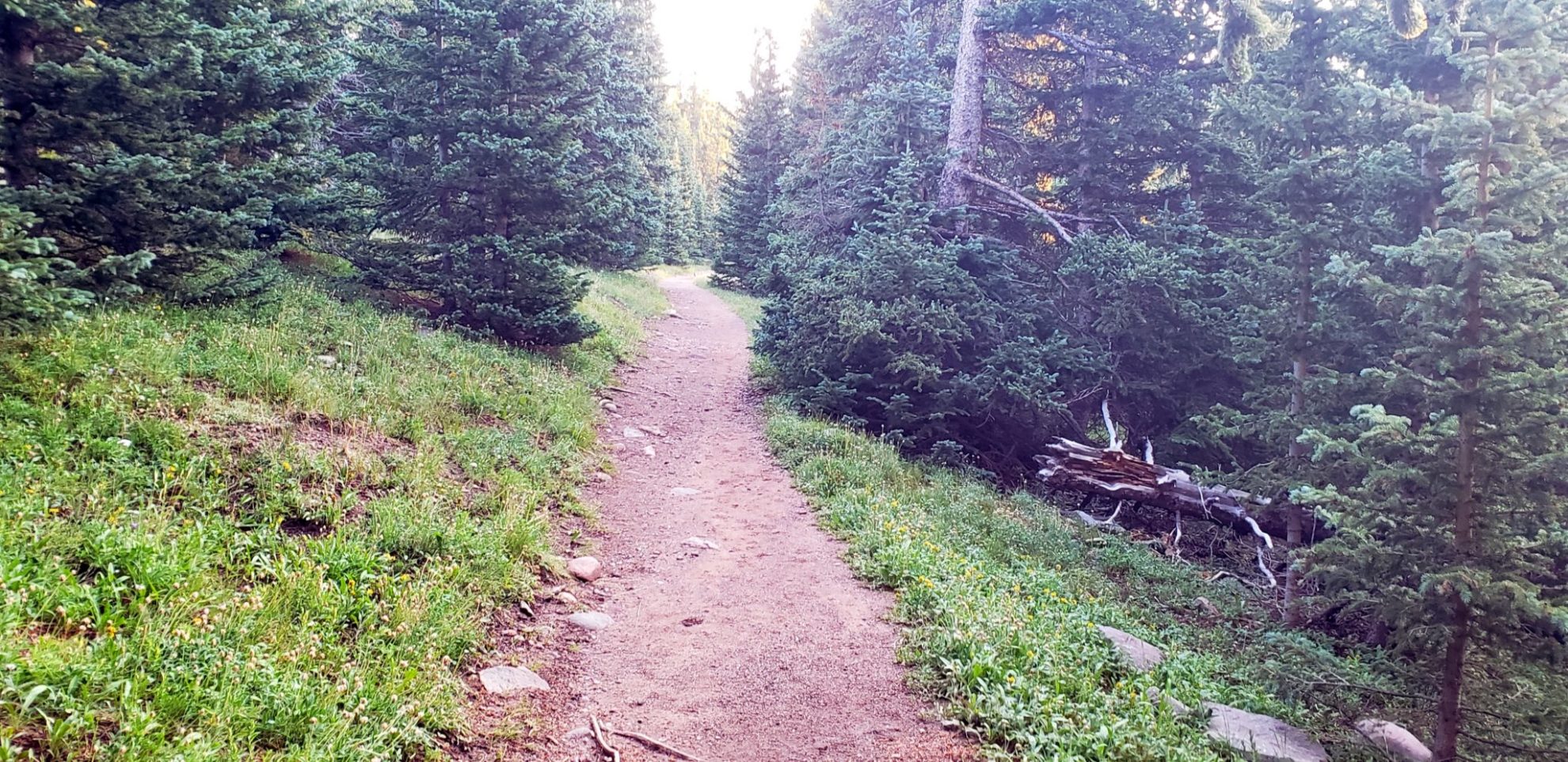
Early morning on the trail
Early morning on the trail
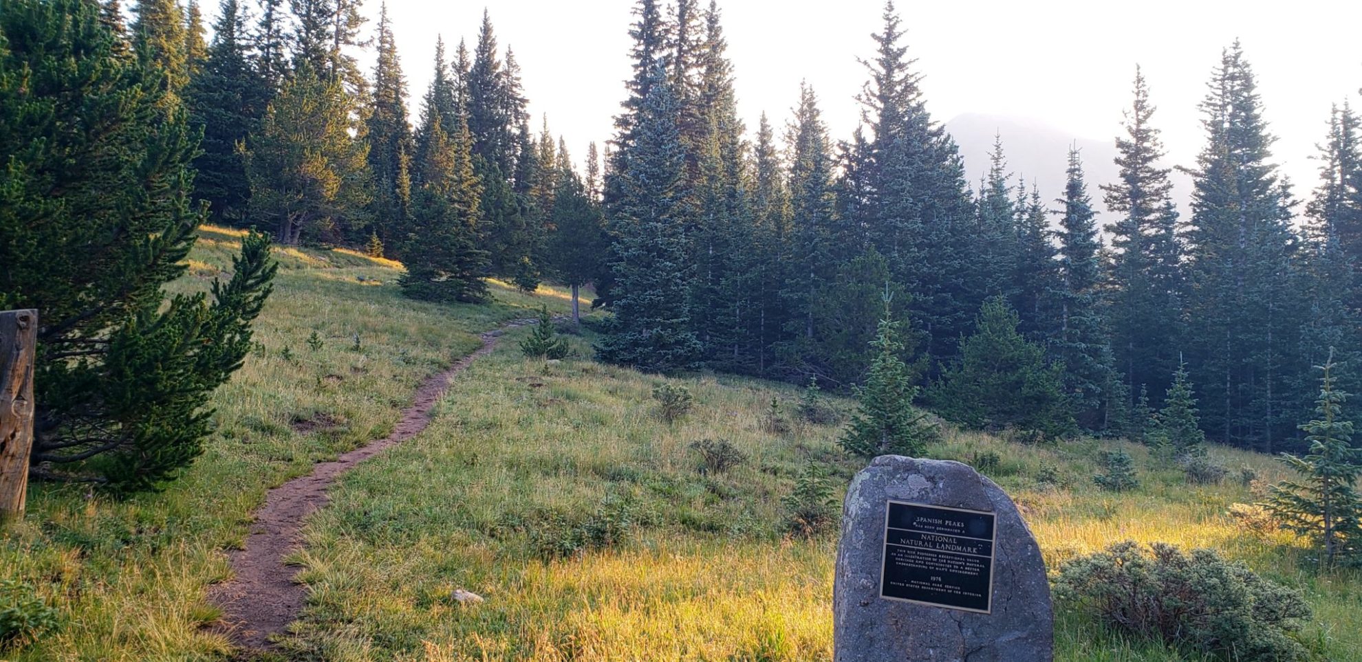
The Spanish Peaks are designated as National Natural Landmarks
The Spanish Peaks are designated as National Natural Landmarks
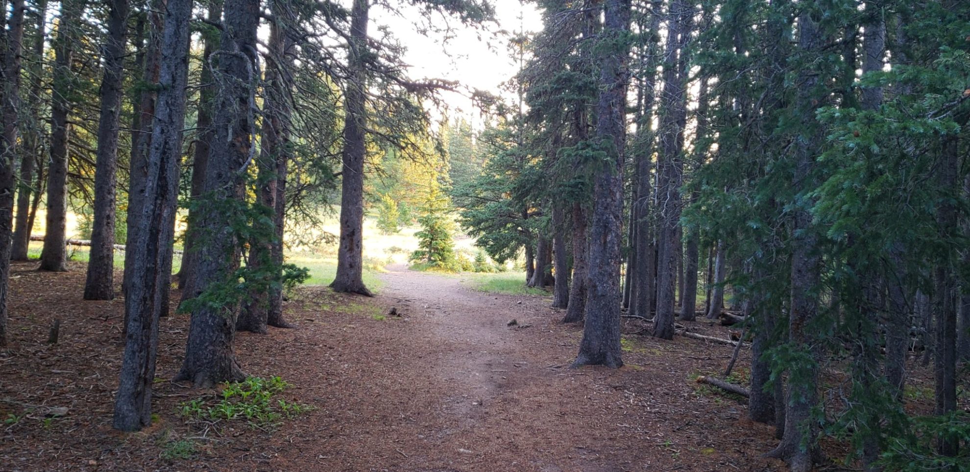
The first mile of the trail is very well maintained
The first mile of the trail is very well maintained
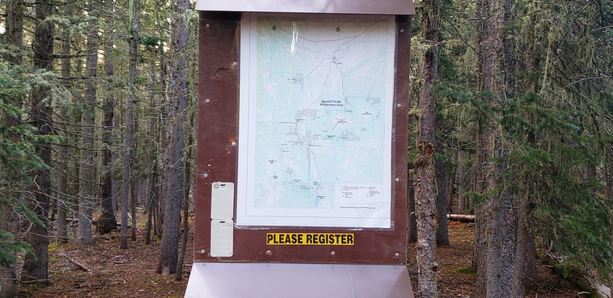
Trail register
Trail register
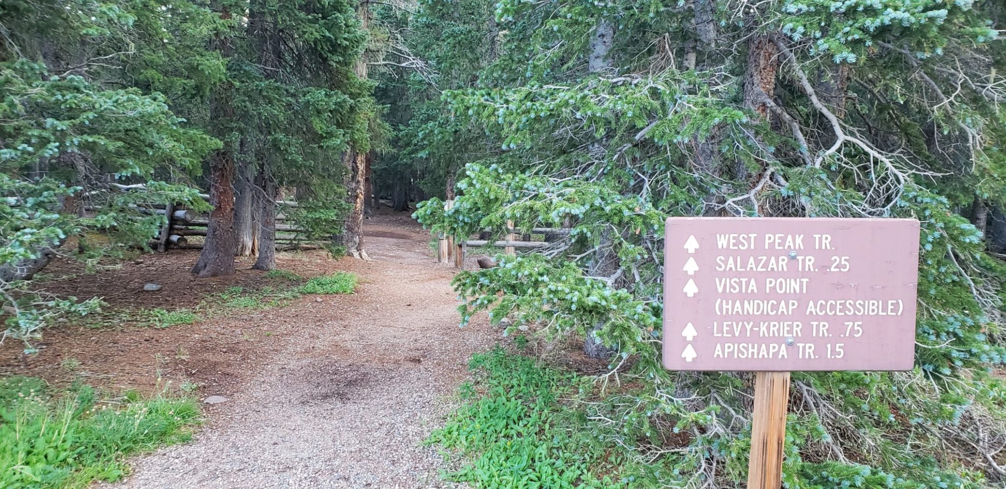
West Spanish Peak trailhead
West Spanish Peak trailhead
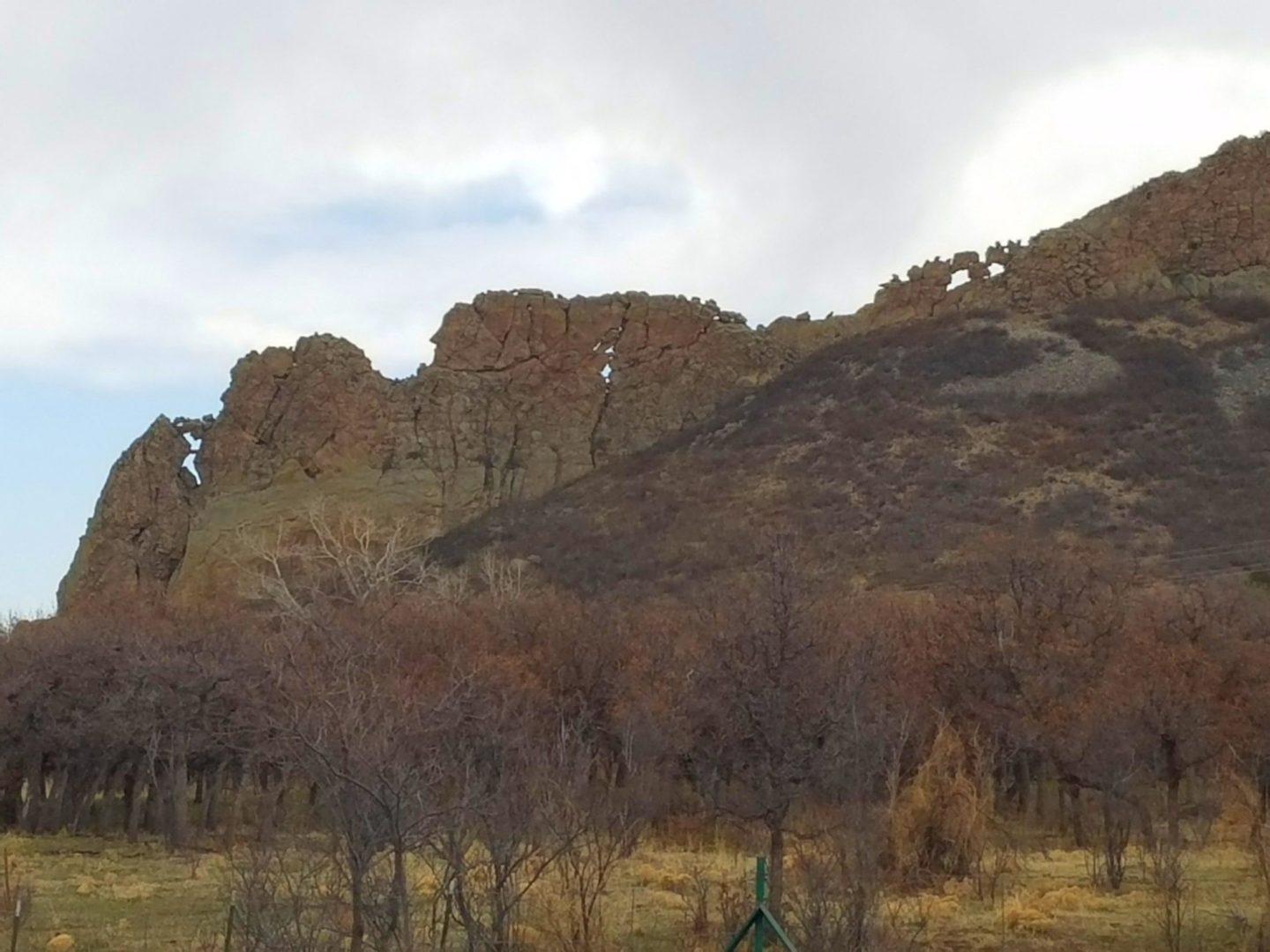
Dike radiating out from West Spanish Peak
Dike radiating out from West Spanish Peak
Dike near La Veta
Dike near La Veta
GPS Route with Elevation
Video Tour
Weather
Trail Directions
The trail is fairly level as it meanders through forests and meadows for about 2 miles (3.2 km) to treeline. At treeline there is a massive cairn signaling the beginning of the steep section of the trail. There is a rough path on talus (scree) up the southwest ridge of the peak for the 1.5 miles (2.4 km) of steep climbing. When in doubt stay to the left and close to the ridge, the climbing is on more solid footing.
Gaining the false summit, the actual summit comes into view, not far away and on much more even terrain. There is a cairn and large branch on the summit.
Trailhead Directions