Zapata Falls (9,250′), Sangre de Cristo Range
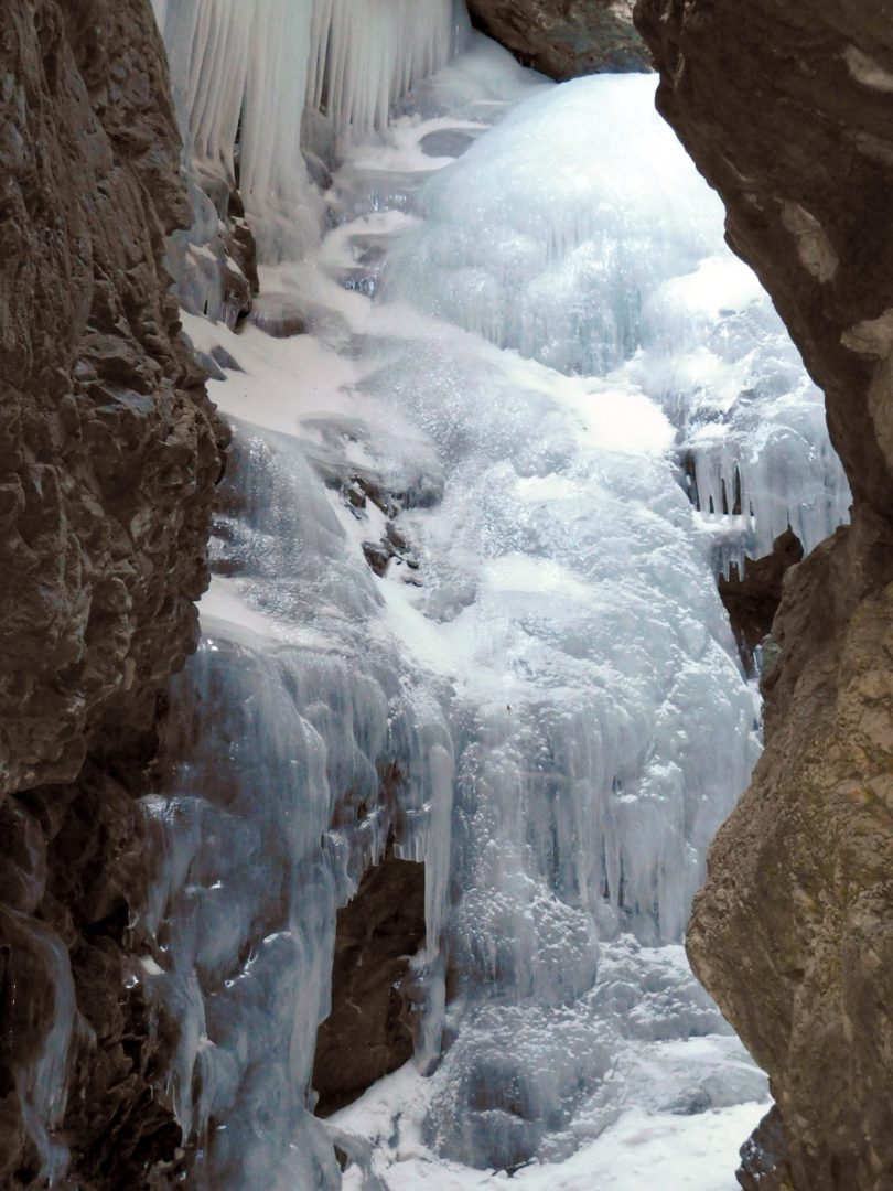
This popular short hike to Zapata Falls is located 3 miles south of the Great Sand Dunes National Park and Preserve, off of Highway 150. Simply driving to the trailhead provides an excellent view of the entire dune field and San Luis Valley. Drive (east) onto a rough dirt road marked by a large sign, and drive 3.5 miles to the trailhead. To view the falls, hike 1/2 mile, and wade into a crevasse where the 30 ft. high falls cascade onto a ledge. Even in winter, water can still be heard flowing deep underneath the ice.
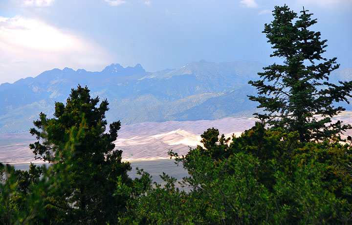
Next door at the Great Sand Dunes National Park and Preserve, some of the highest elevation sand dunes in North America, including High Dune and Star Dune can be found.
Trail Stats
- Trailhead: Zapata Falls
- Round trip: 1 mile / 1.6 km
- Elevation: 9,035′ – 9,250′ / 2,754 m – 2,819 m
- County: Saguache
- Agency: BLM
- Nat’l Forest: Rio Grande

Trail Pictures
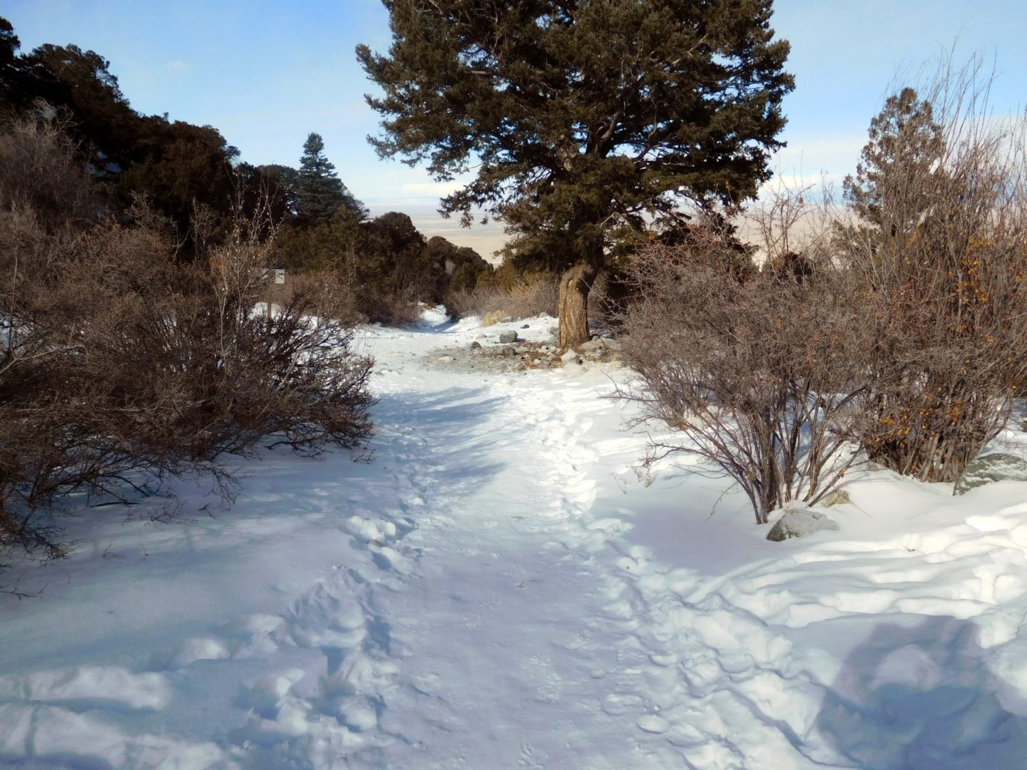
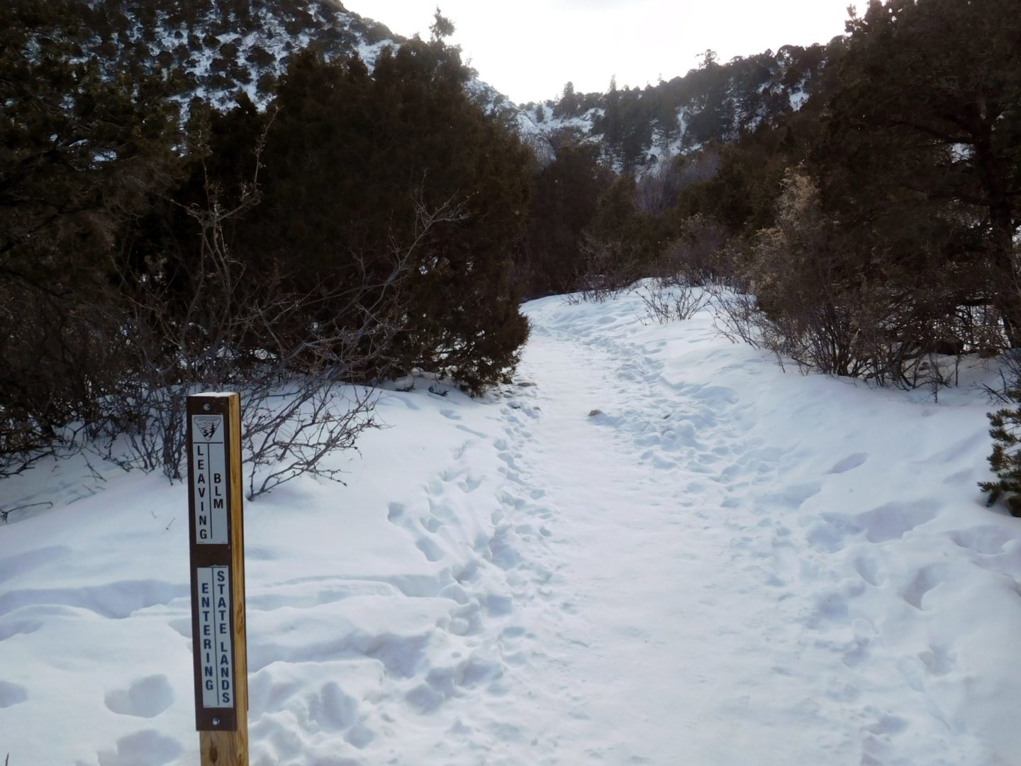
Zapata Falls trail
Zapata Falls trail

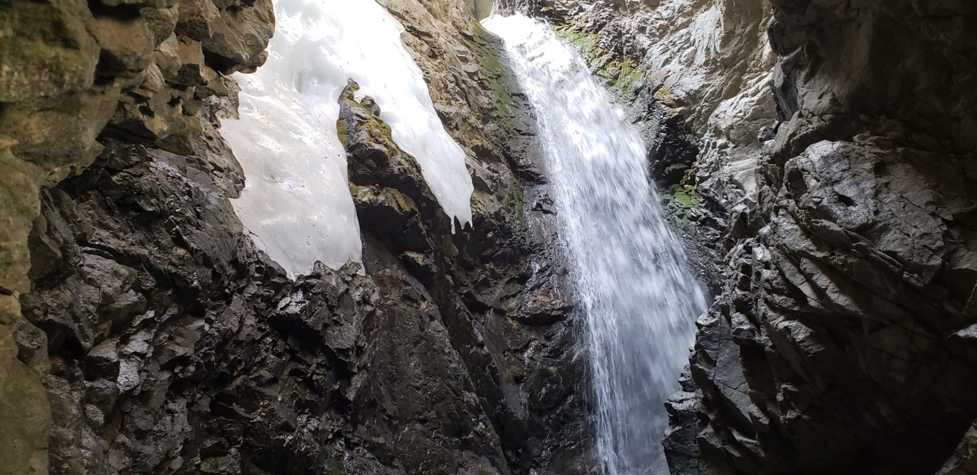
Looking up the frozen falls you can hear water still running underneath
Looking up the frozen falls you can hear water still running underneath

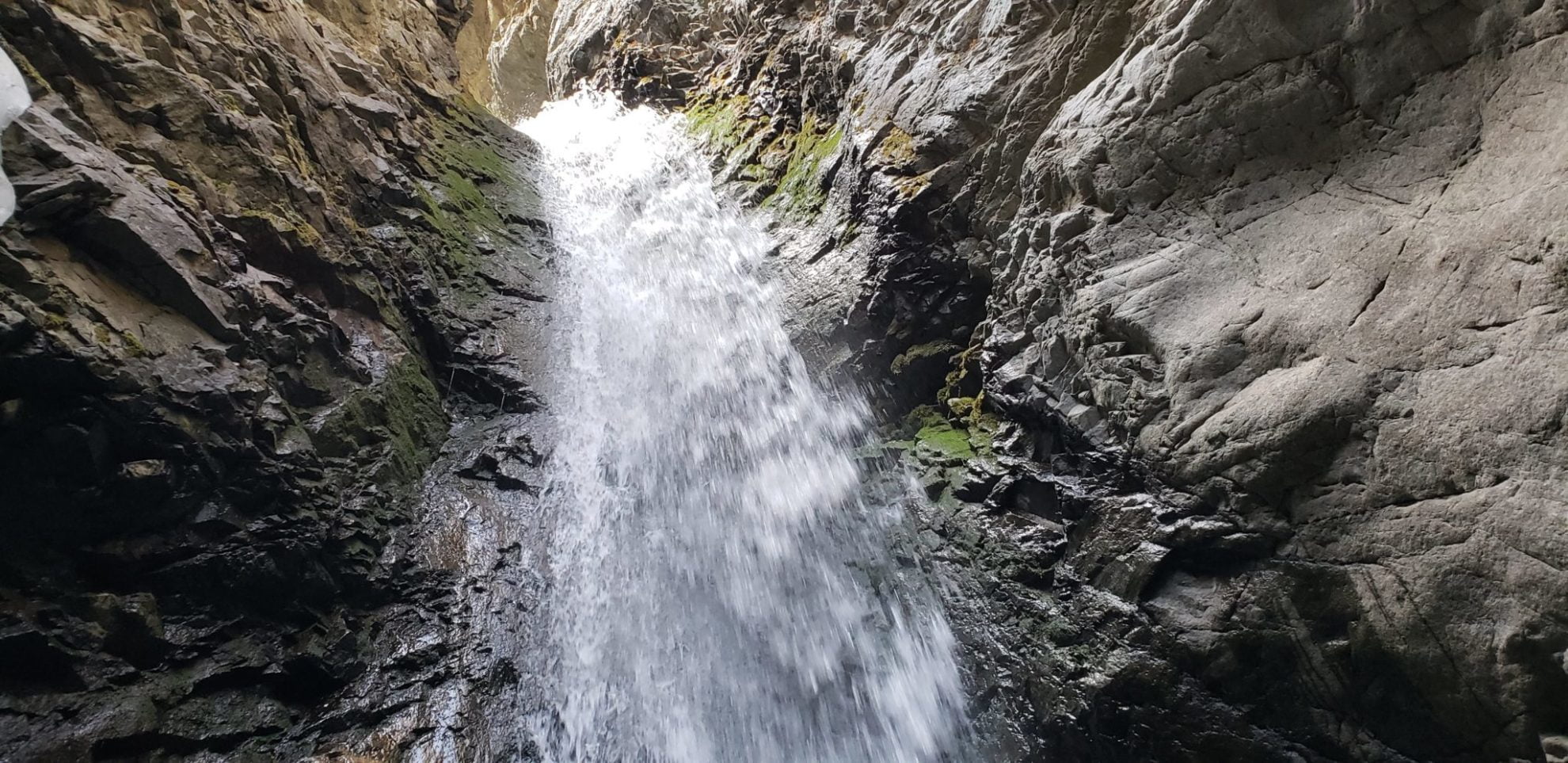
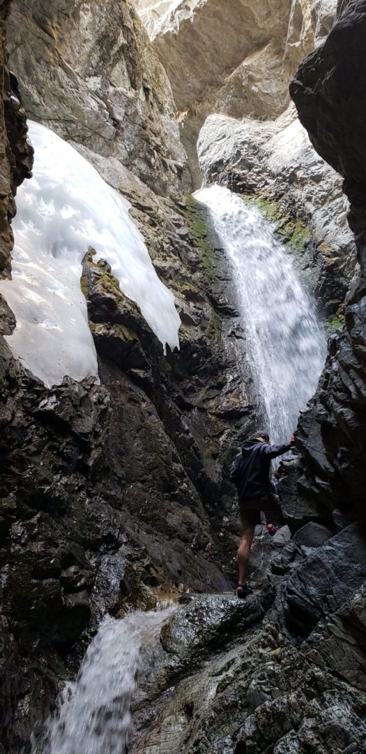
Zapata Falls – 30 ft drop
Zapata Falls – 30 ft drop
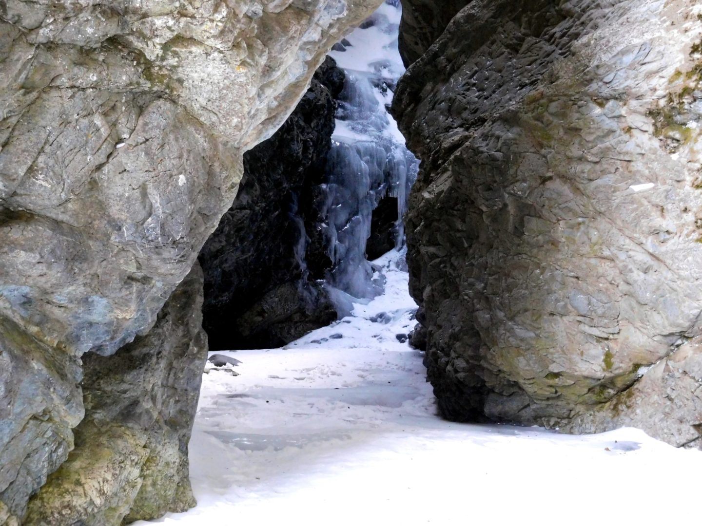
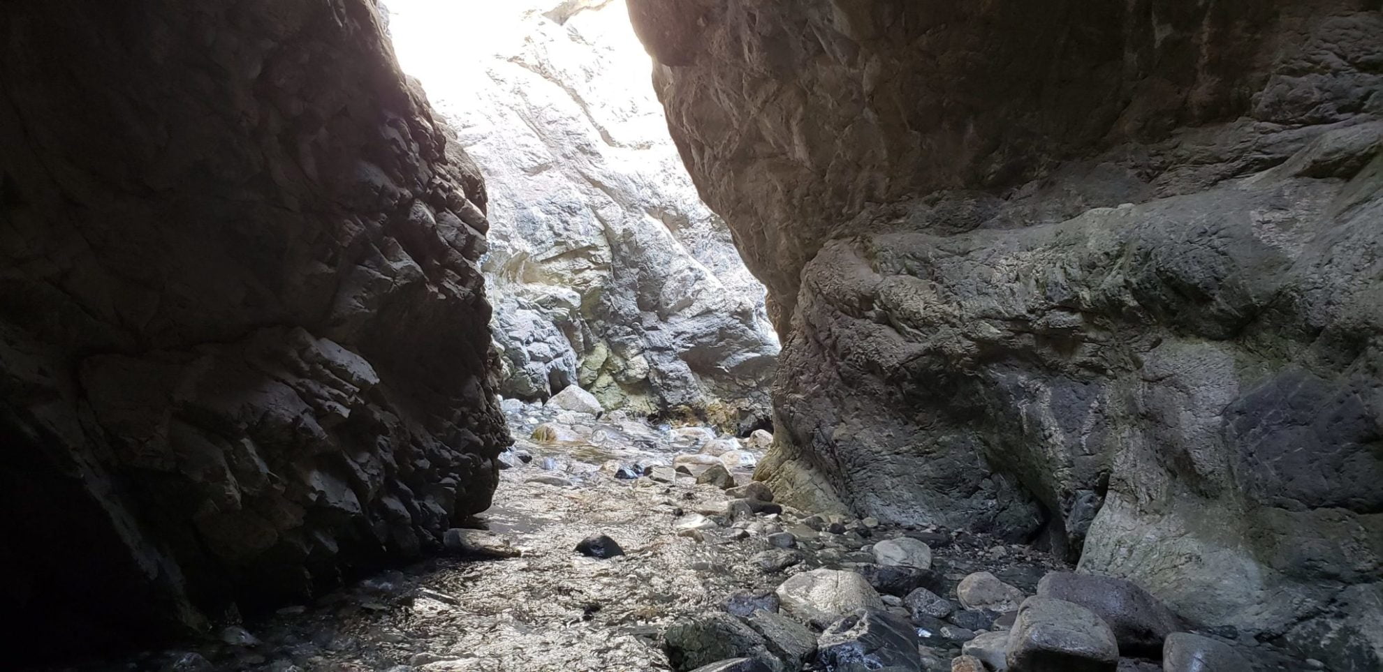
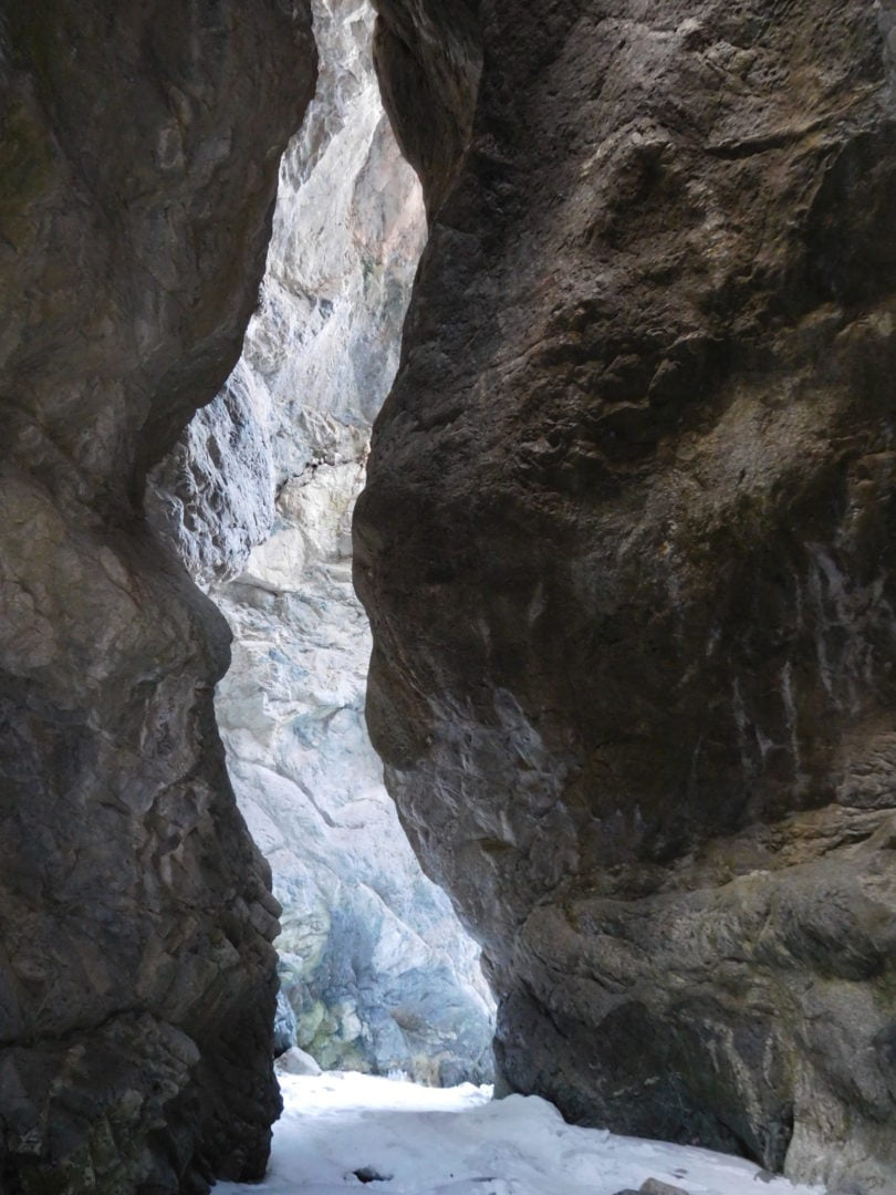
View into the entrance
View into the entrance

Zapata Falls entrance
Zapata Falls entrance

Walking over frozen run-off with microspikes
Walking over frozen run-off with microspikes
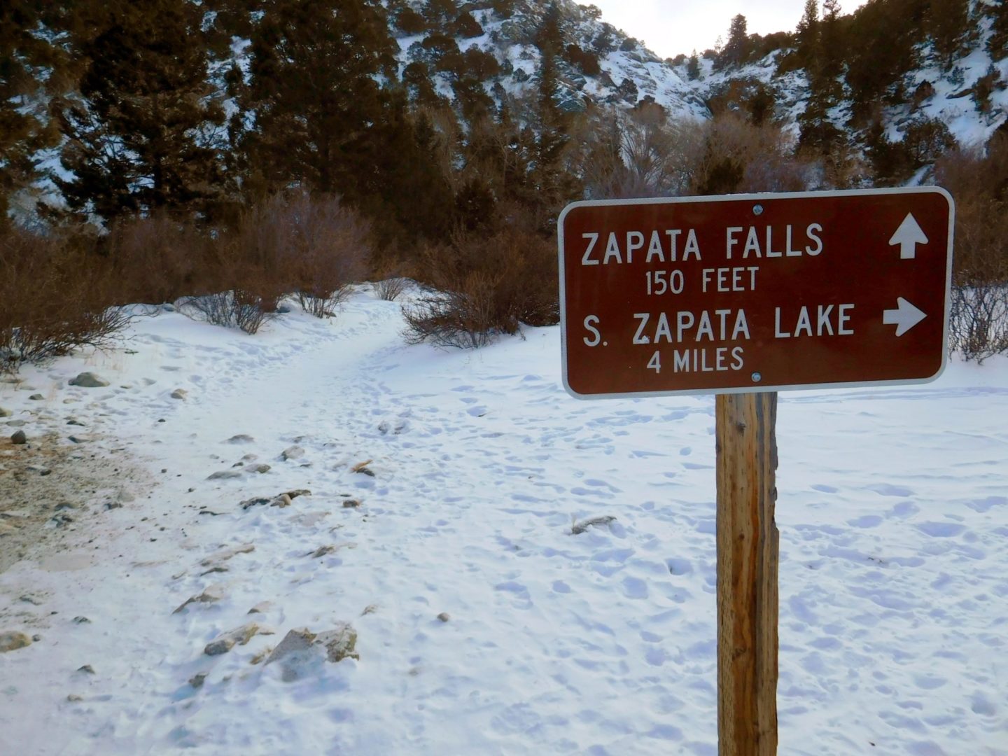
Trail junction near the falls
Trail junction near the falls
Short trail to the waterfall
Short trail to the waterfall
May 2018 Zapata Falls
May 2018 Zapata Falls

Leaving the cave entrance
Leaving the cave entrance

View of the Great Sand Dunes from Zapata Falls trail
View of the Great Sand Dunes from Zapata Falls trail
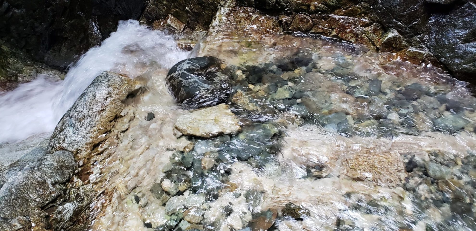
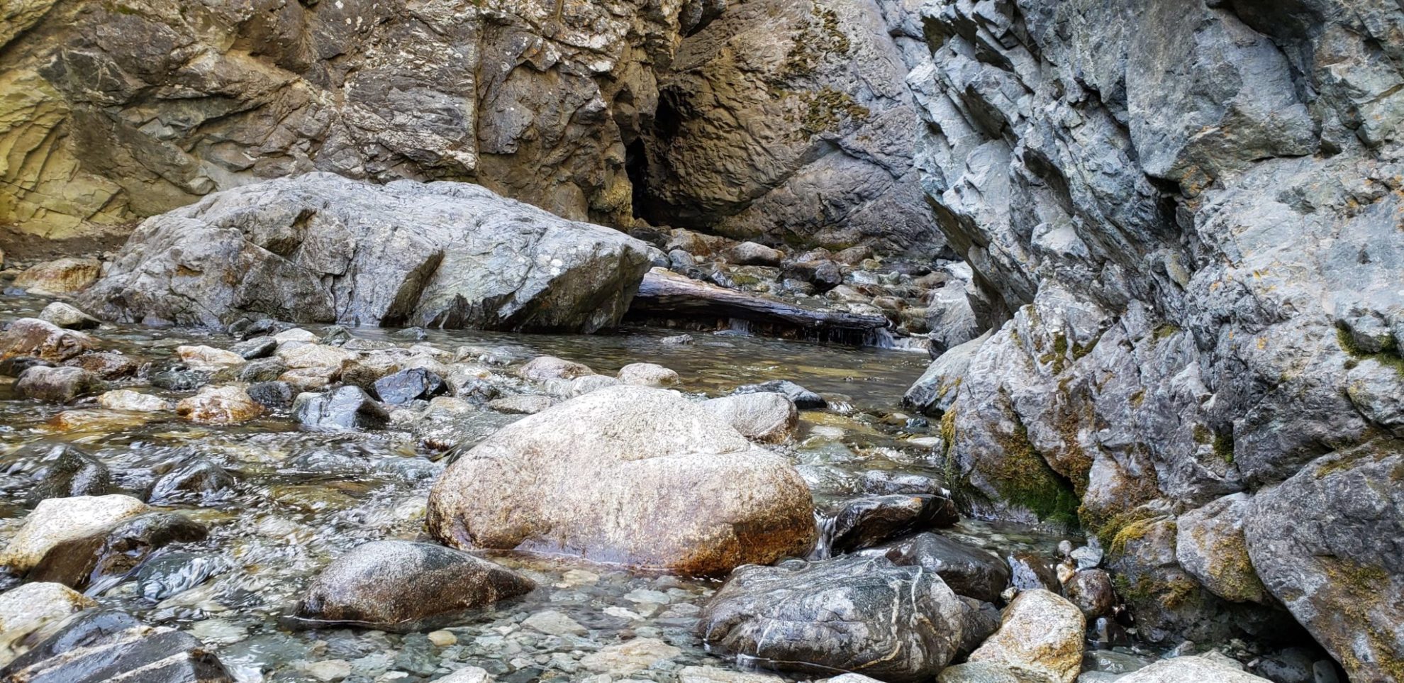
Water just below the falls
Water just below the falls
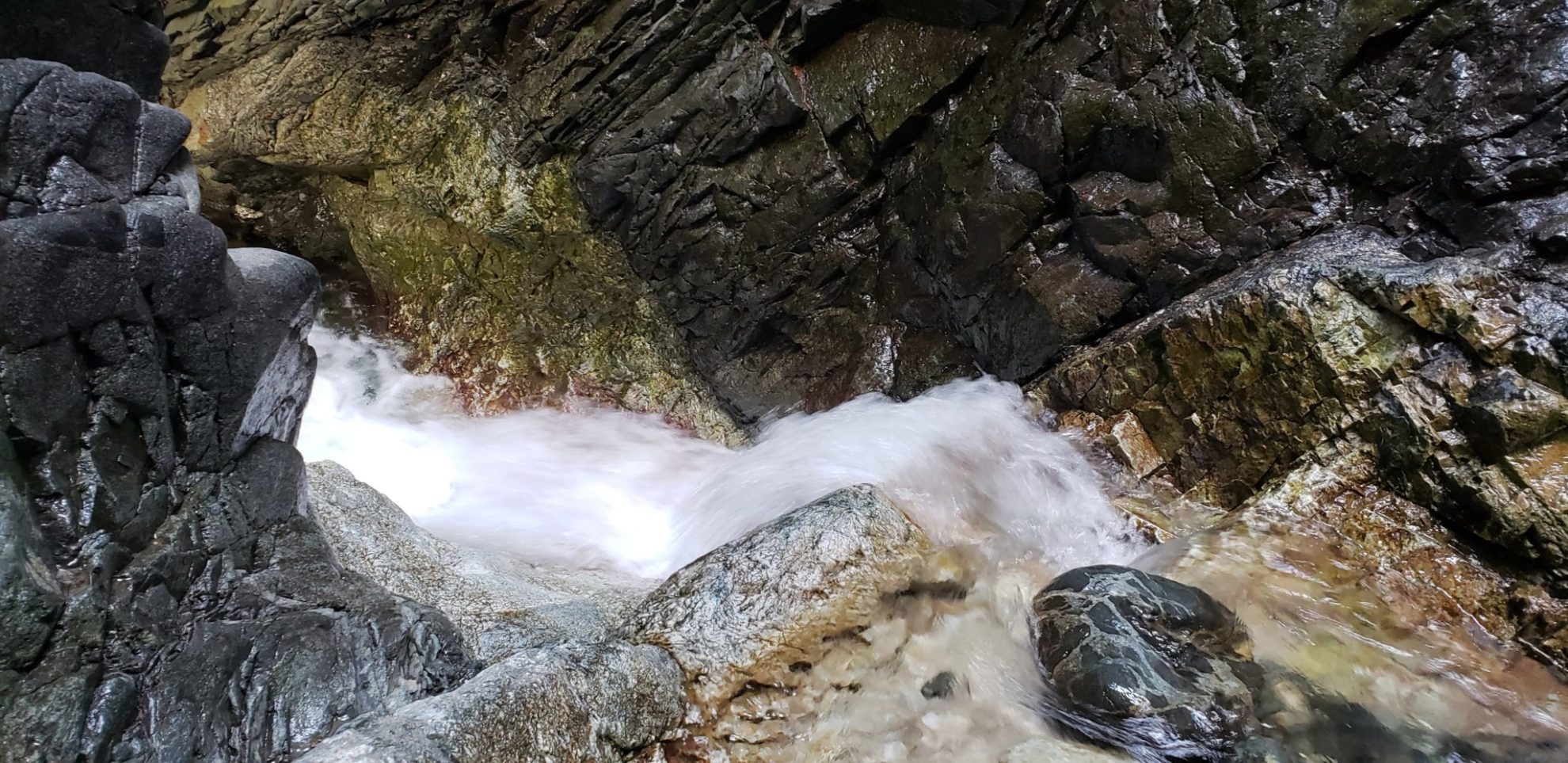
On a ledge below the 30 ft Zapata Falls
On a ledge below the 30 ft Zapata Falls
Zapata Falls exit
Zapata Falls exit
Entrance to the falls center left
Entrance to the falls center left
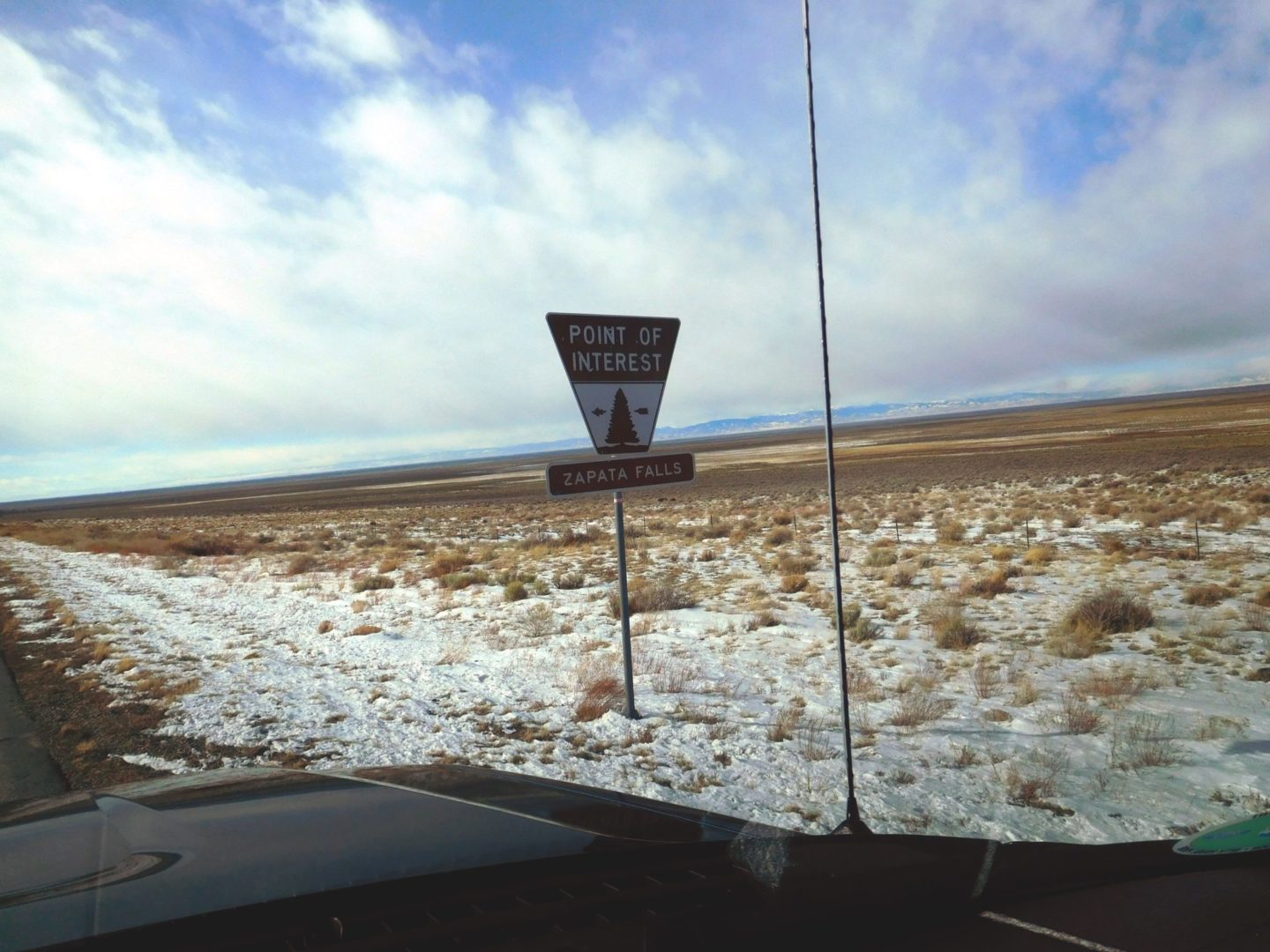
Zapata Falls turnoff near the Great Sand Dunes National Park and Preserve
Zapata Falls turnoff near the Great Sand Dunes National Park and Preserve
30 ft tall Zapata Falls
30 ft tall Zapata Falls
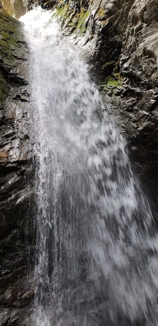
30′ Zapata Falls
30′ Zapata Falls
The falls to scale
The falls to scale
Zapata Falls exit
Zapata Falls exit
Zapata Falls May 2018
Zapata Falls May 2018
GPX Route with Elevation
Video Tour
Trail Directions
From the Great Sand Dunes Visitor Center, drive south about 8 miles, then turn left (east) onto a dirt road. Drive the remaining 3.5 miles to the trailhead.
To view the falls, hike about 1/2 mile, cross the creek, then scramble up the rocks and stream into a crevasse where the 30 ft. high falls cascade down.
Trailhead Directions