Blodgett Peak (9,429′), Front Range
Blodgett Peak is located in Blodgett Peak Open Space along the Rampart Range of the Rocky Mountains. The peak has a small summit that provides unobstructed views in all directions, rising from the eastern edge of the Rockies. The trailhead is situated close to the U.S. Air Force Academy, north of Colorado Springs.
While in the area, Mt Rosa, Almagre Mountain, and Mt Herman are also great hiking options.
Trail Stats
- Trailhead: Blodgett Peak Trail
- Round trip: 7 miles / 11.3 km
- Elevation: 7,158′ – 9,429′ / 2,182 m – 2,874 m
- County: El Paso
- Agency: U.S. Forest Service
- Nat’l Forest: Pike

Trail Pictures

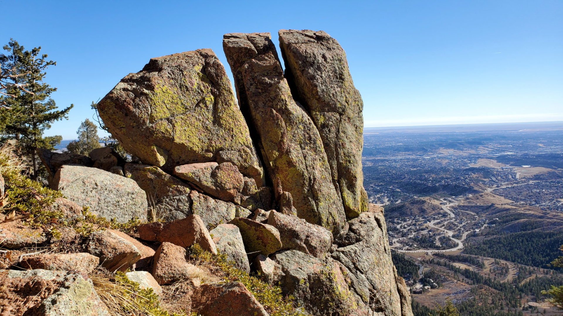
Rock formation above the water tower
Rock formation above the water tower

Trail conditions heading into the valley
Trail conditions heading into the valley

Trail is steep with lots of scree
Trail is steep with lots of scree

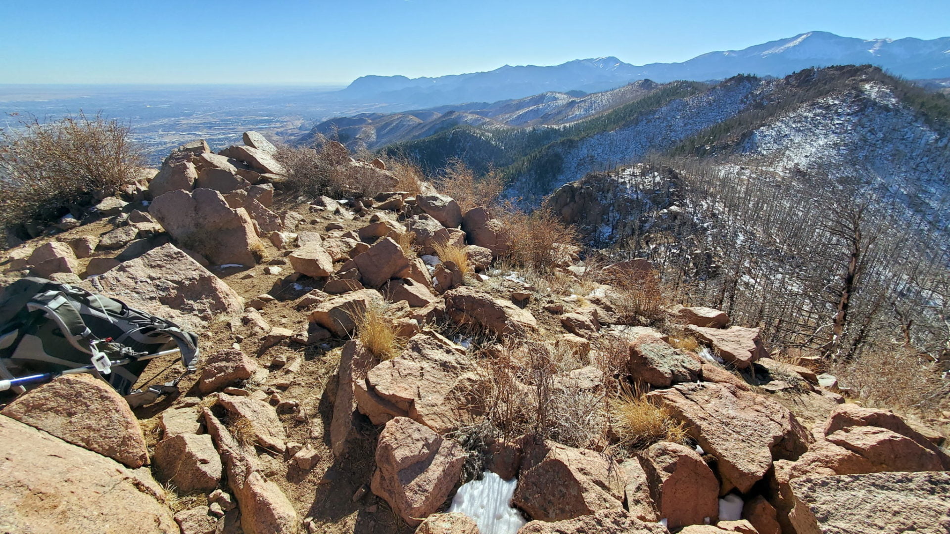
View southeast with Cheyenne mountain in the distance
View southeast with Cheyenne mountain in the distance

Heading down to the ridge from Blodgett Peak
Heading down to the ridge from Blodgett Peak
20201205_125039
Blodgett Peak looking south

Pikes Peak in the distance
Pikes Peak in the distance

Summit view east
Summit view east

Summit view to the northwest
Summit view to the northwest

The U.S. Air Force Academy
The U.S. Air Force Academy

A reservoir in the center
A reservoir in the center

Looking back down the route
Looking back down the route

Nearing the ridge from the east
Nearing the ridge from the east
Route up from the east is not recommended – to steep with loose scree
Route up from the east is not recommended – to steep with loose scree

Followed gullies up to the ridge
Followed gullies up to the ridge

Waldo Canyon fire scar
Waldo Canyon fire scar

Another scree filled gully
Another scree filled gully

Very steep – a tough scramble
Very steep – a tough scramble

Very few trees on the steep slope
Very few trees on the steep slope

First objective above
First objective above

A pleasant hike on single track to this point
A pleasant hike on single track to this point

Looking back up the trail
Looking back up the trail
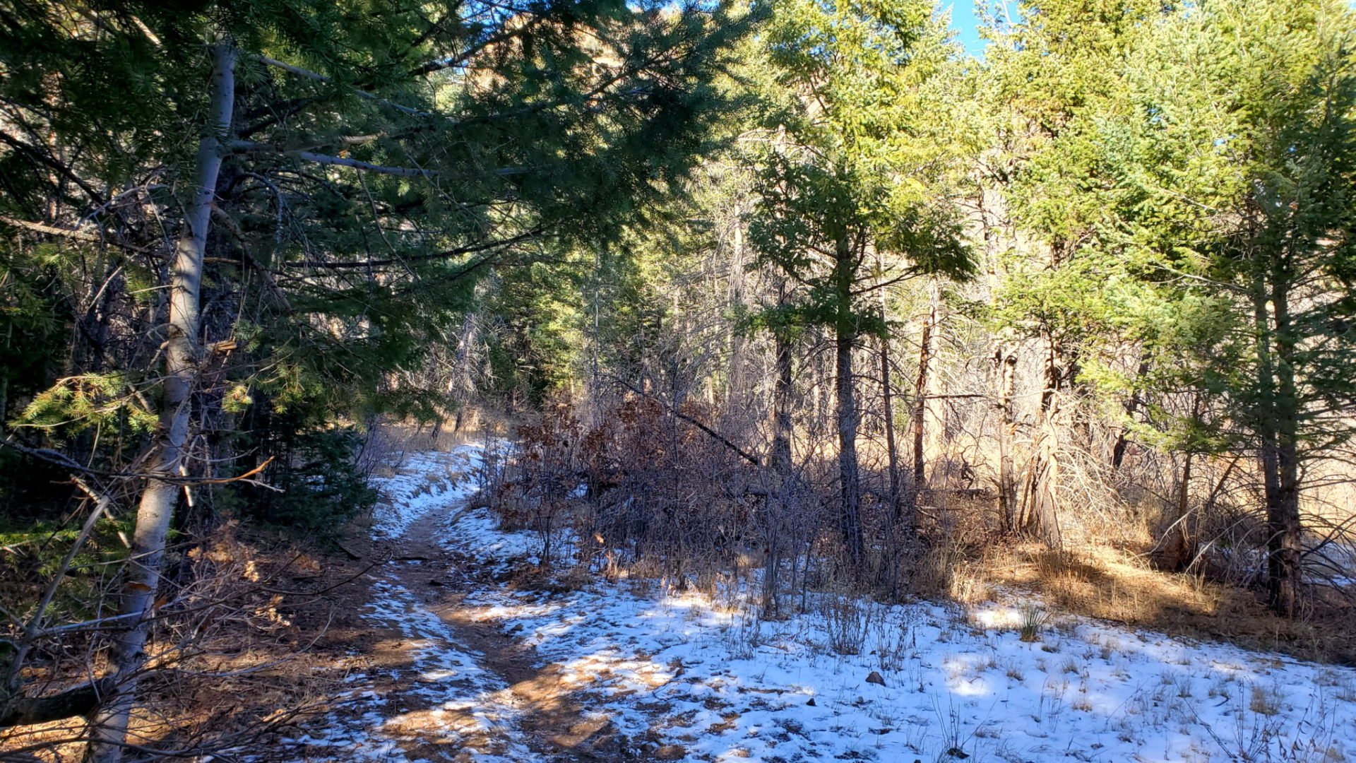
Just a dusting of snow in the shade
Just a dusting of snow in the shade
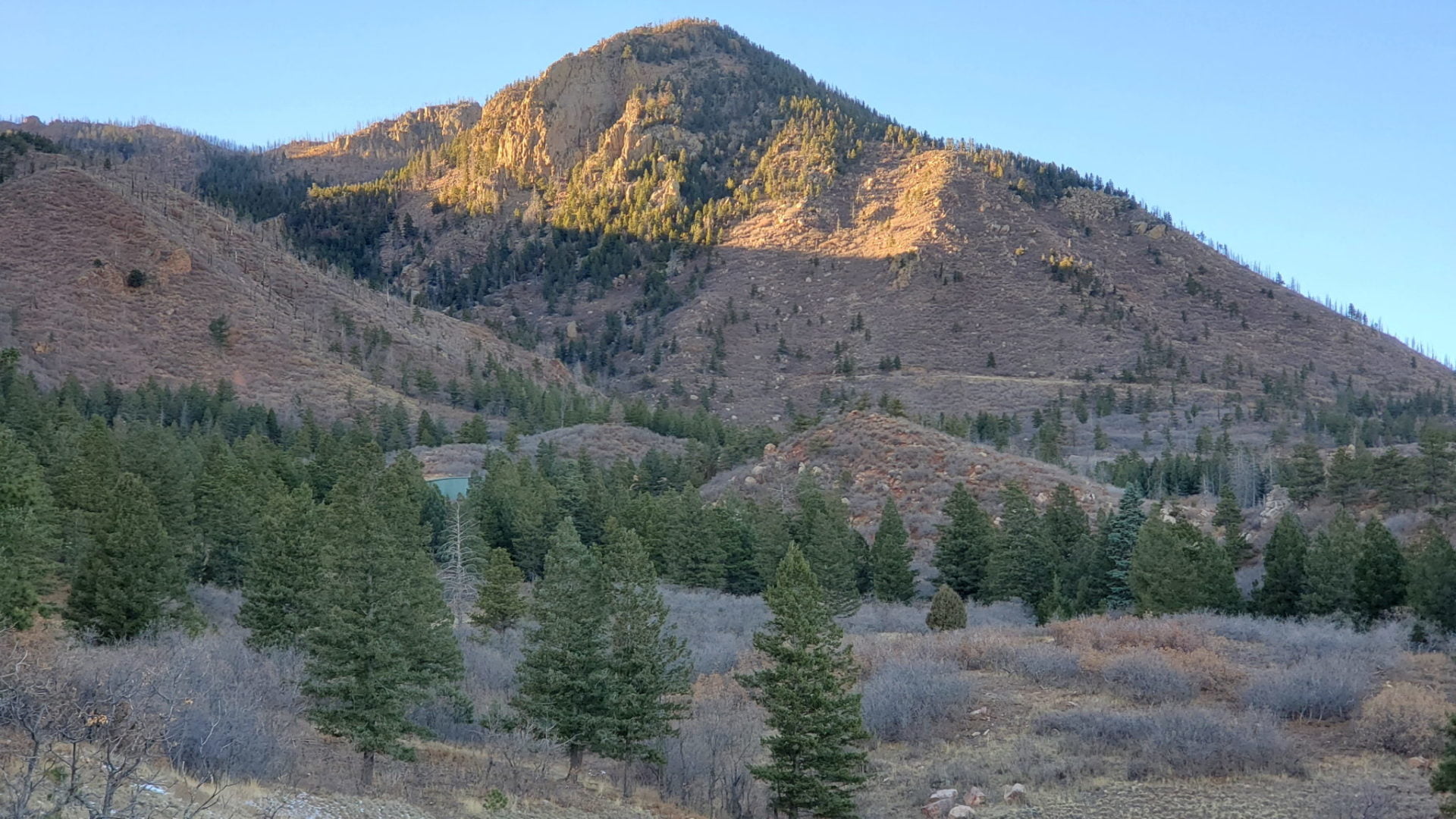
View from the trailhead (Blodgett Peak behind this hill)
View from the trailhead (Blodgett Peak behind this hill)
GPS Route with Elevation
Video Tour
Trail Directions
The Blodgett Peak trailhead begins in the Blodgett Peak Open Space. Heading out from the parking lot the easiest path to navigate is the closed road, which leads to the water tower.
Take the social trail below the water tower to continue to the peak. The trail will wind into a canyon and begin gaining elevation more quickly. Loose scree and a steep route define this section of the trail.
The social trail leads through the Waldo Canyon wildfire scar, where there is less scree and better footing. Once on the ridge, head to the right (east) to reach the summit. There is a short boulder field scramble to the small summit.
Trailhead Directions