Mt Herman (9,104′), Front Range
Mt Herman is the highest point on the Palmer Divide, just west of Monument, Colorado. It lies along the Rampart Range of the Front Range, between Denver and Colorado Springs. The area is popular for hiking and mountain biking, paragliding, and 4×4 trails heading west. Look for marker 716 on Mt Herman Rd to find the trailhead.
Other mountain trails in the area include Cheyenne Mountain, Mt Rosa, Almagre Mountain, and Pikes Peak.
Trail Stats
- Trailhead: Trail 716 along Mt Herman Rd
- Round trip: 2.2 miles / 3.5 km
- Elevation: 8,063′ – 9,063′ / 2,458 m – 2,762 m
- County: El Paso
- Agency: U.S. Forest Service

Trail Pictures
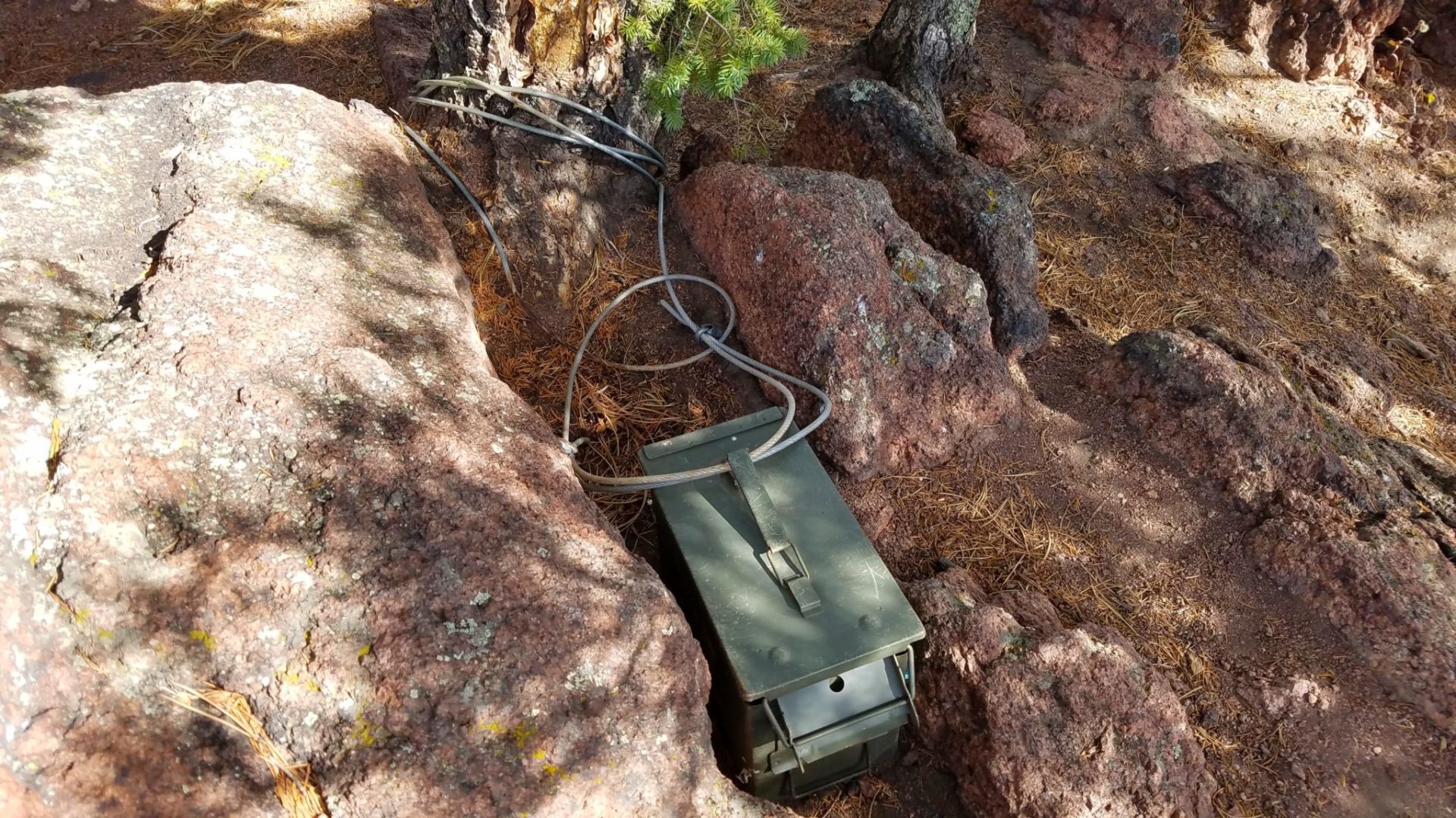
Summit register
Summit register
Mt Herman summit
Mt Herman summit
Near the summit
Near the summit

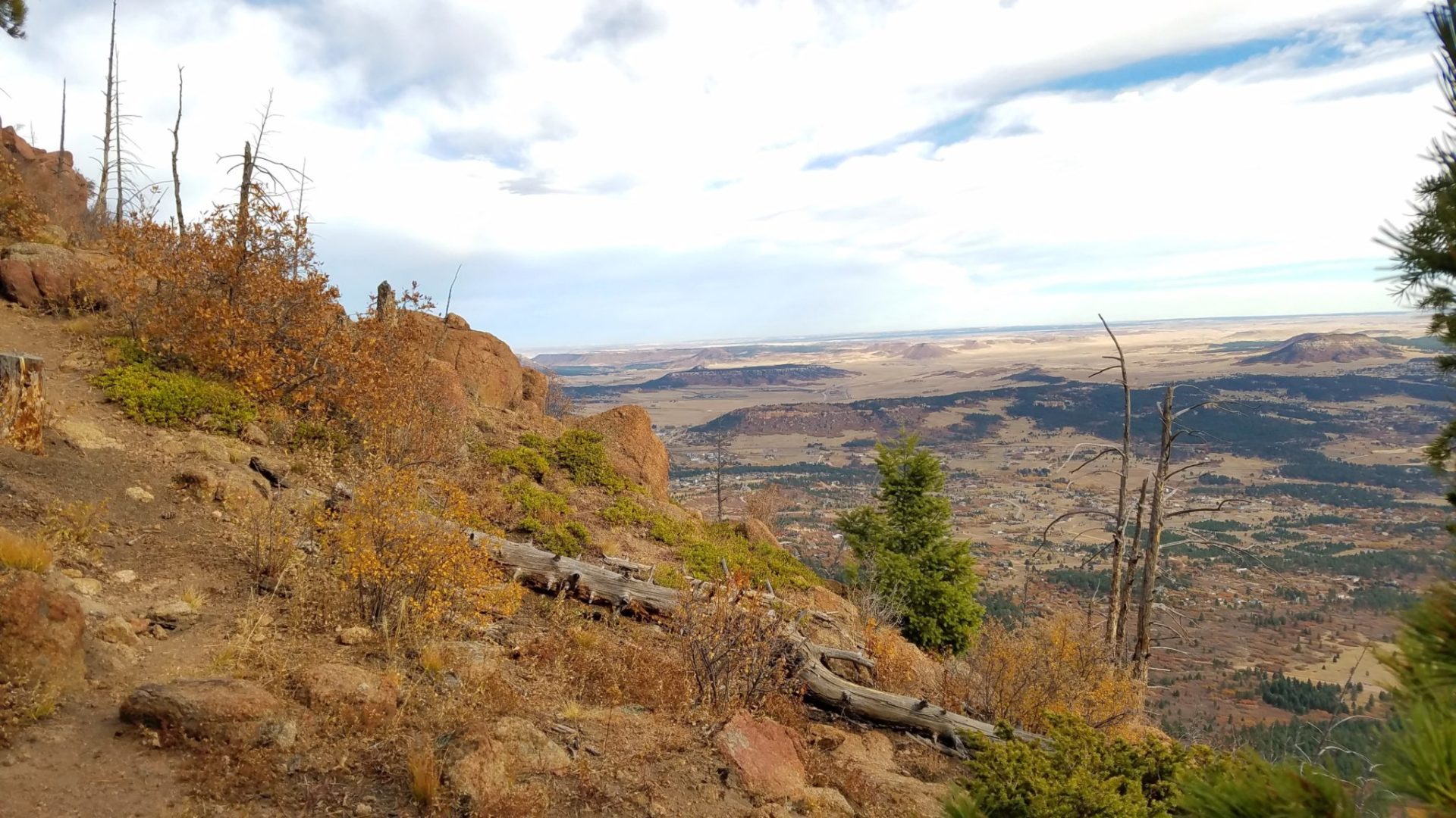
View east from the ridge
View east from the ridge
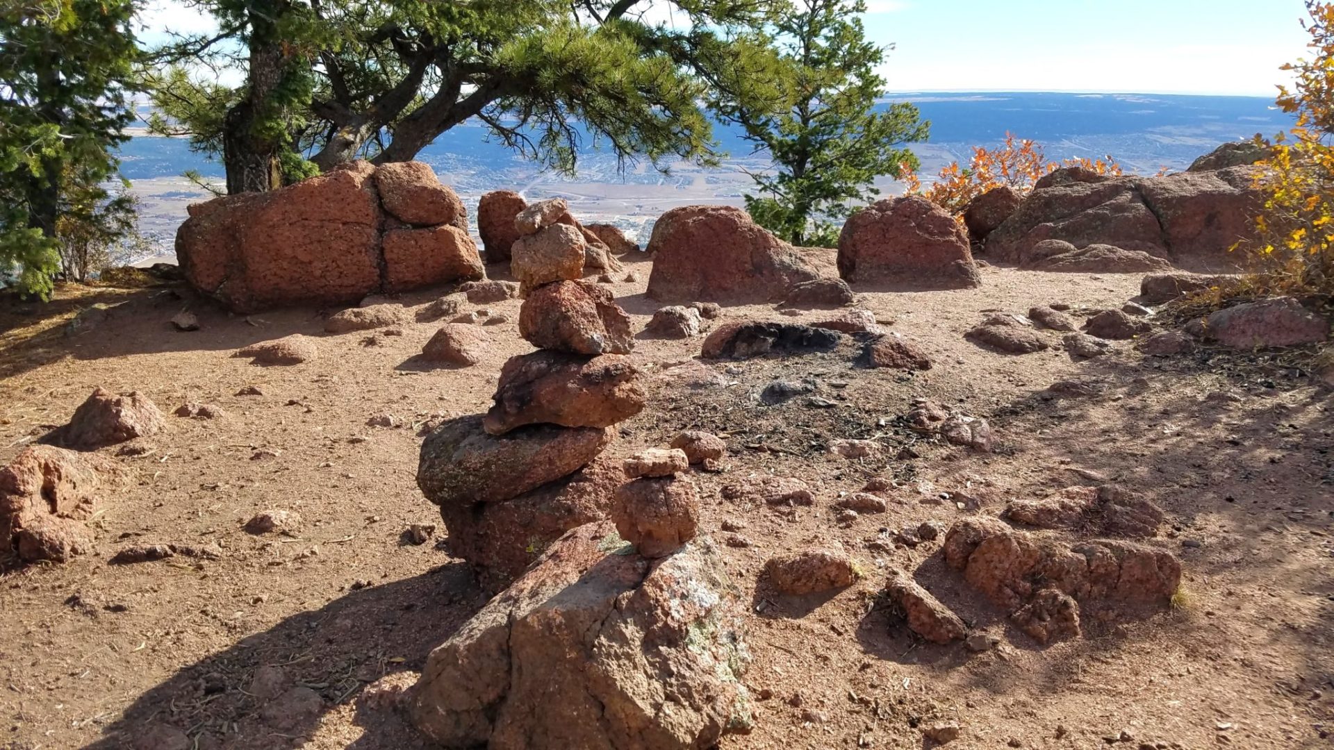
Cairns mark the way near the top
Cairns mark the way near the top
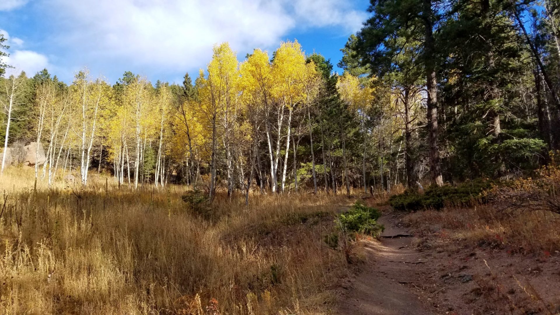
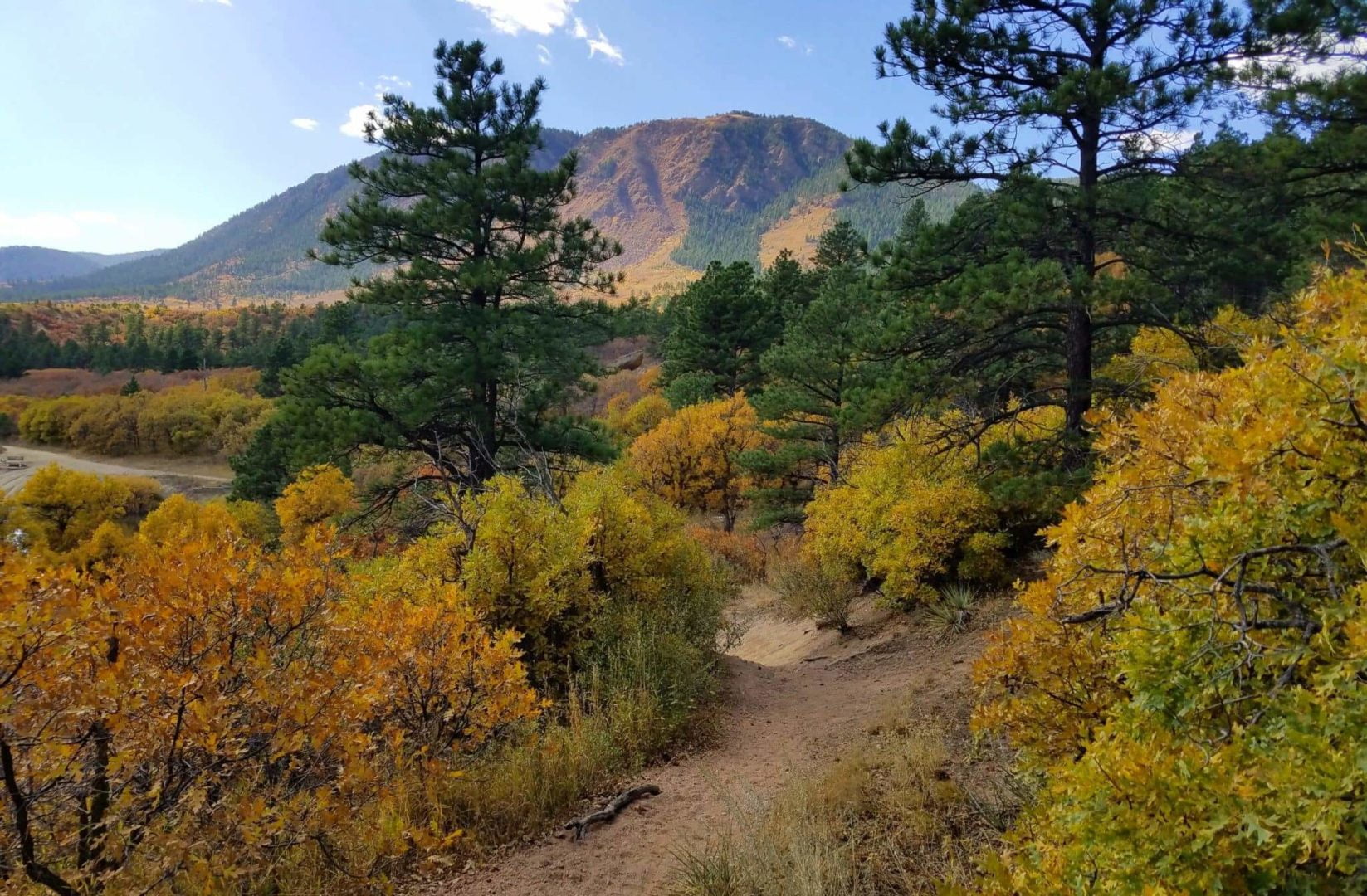
A break in the dense forest
A break in the dense forest
When in doubt go up
When in doubt go up

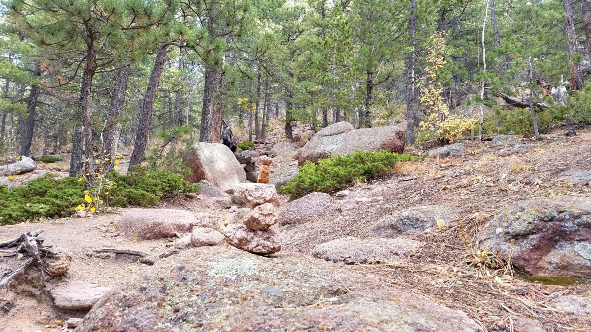
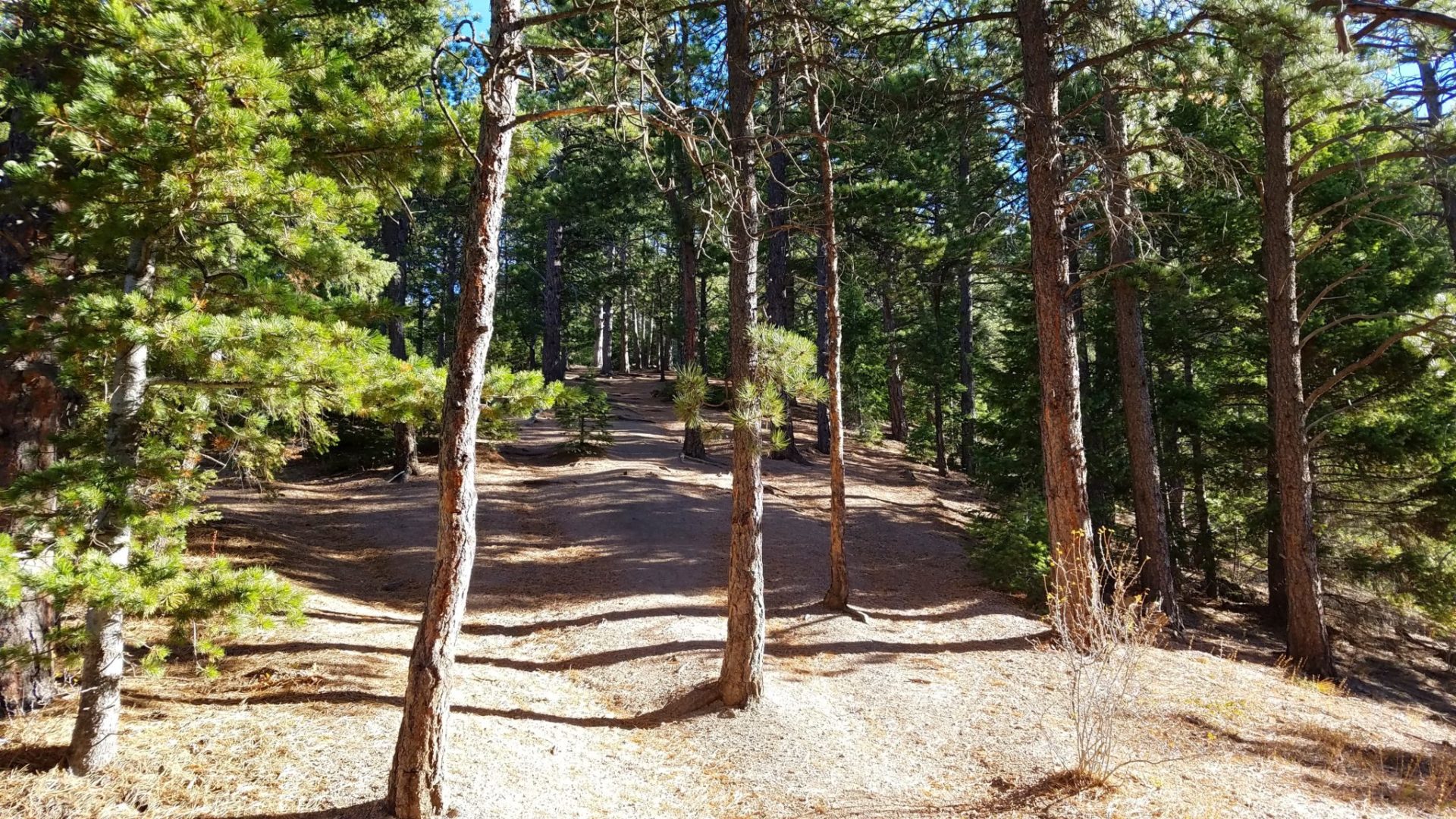
Trail to the summit
Trail to the summit
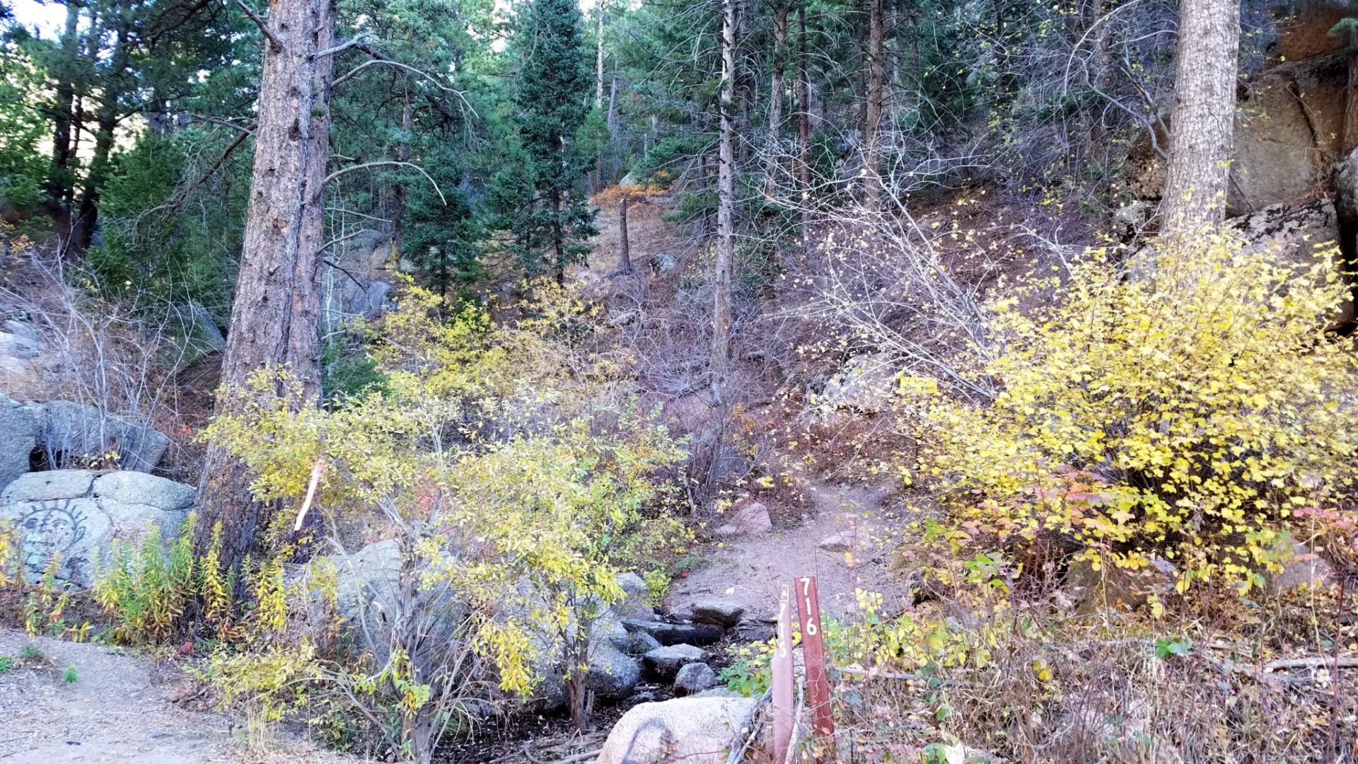
Marker 716 is the trailhead
Marker 716 is the trailhead
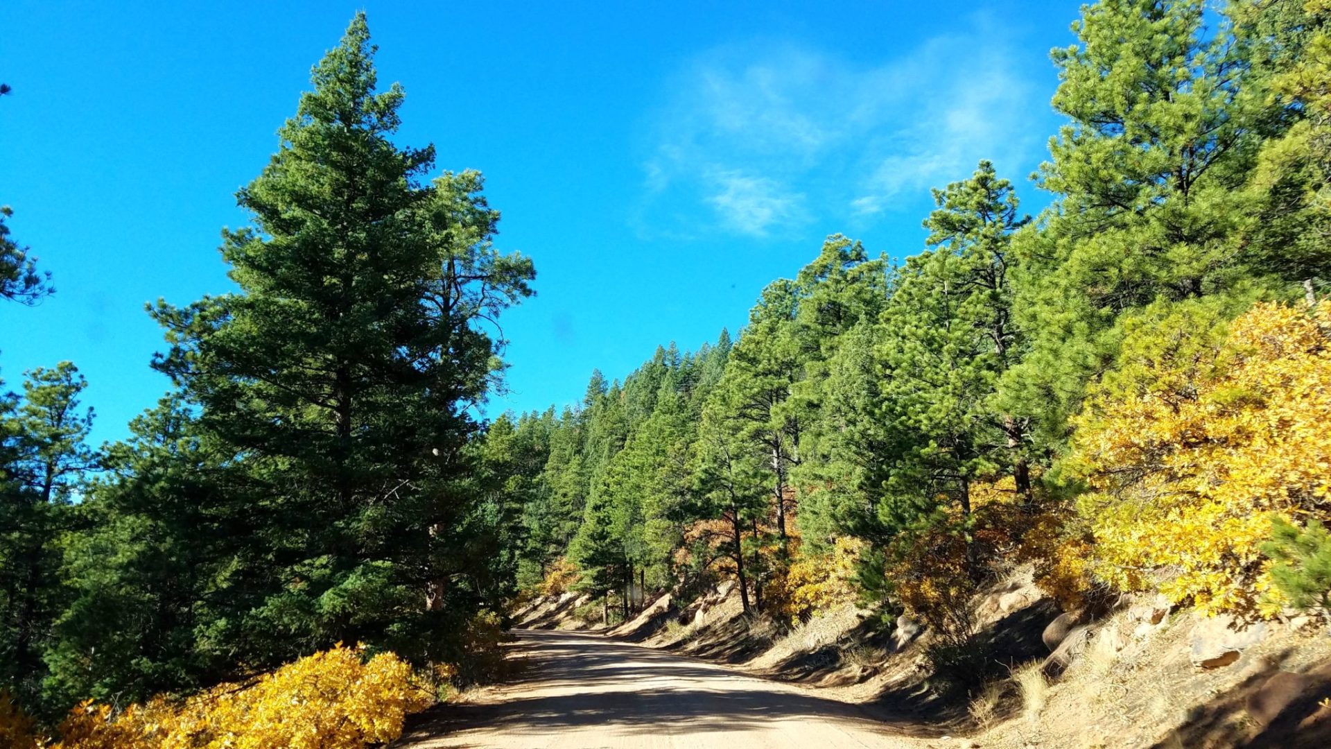
Mt Herman Rd
Mt Herman Rd
Mt Herman from Monument Rock
Mt Herman from Monument Rock

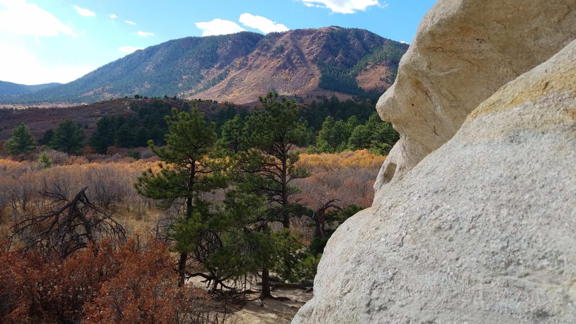
Narrow rock feature
Narrow rock feature

Mt Herman
Mt Herman
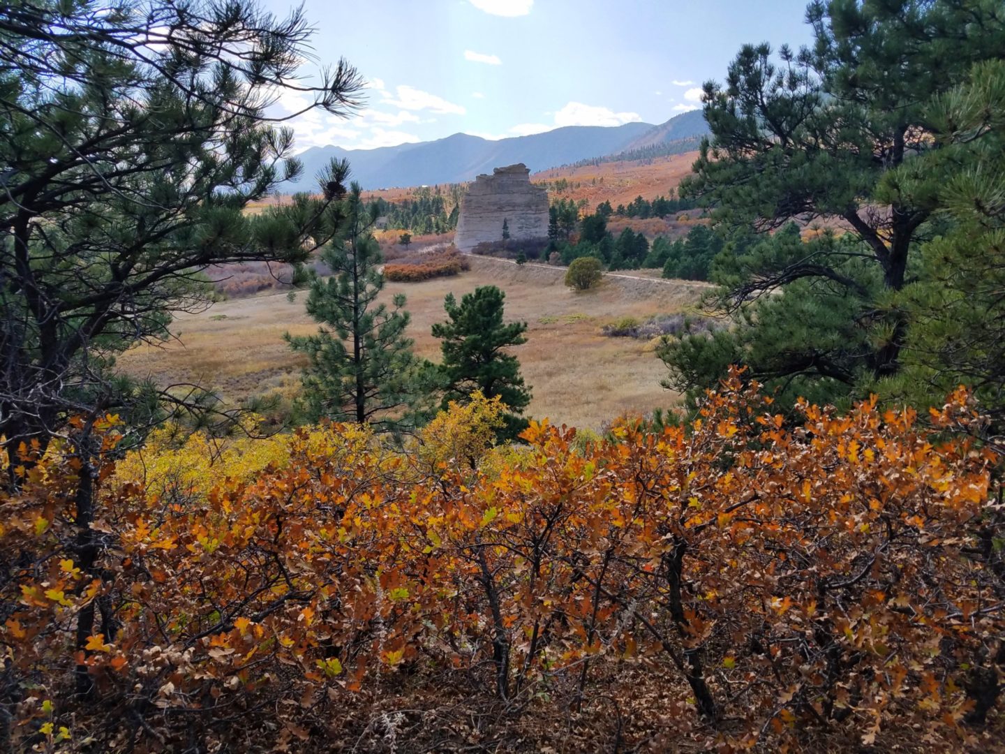
Monument Rock
Monument Rock
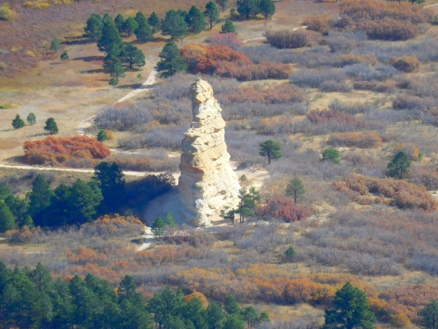
Monument Rock from the summit
Monument Rock from the summit
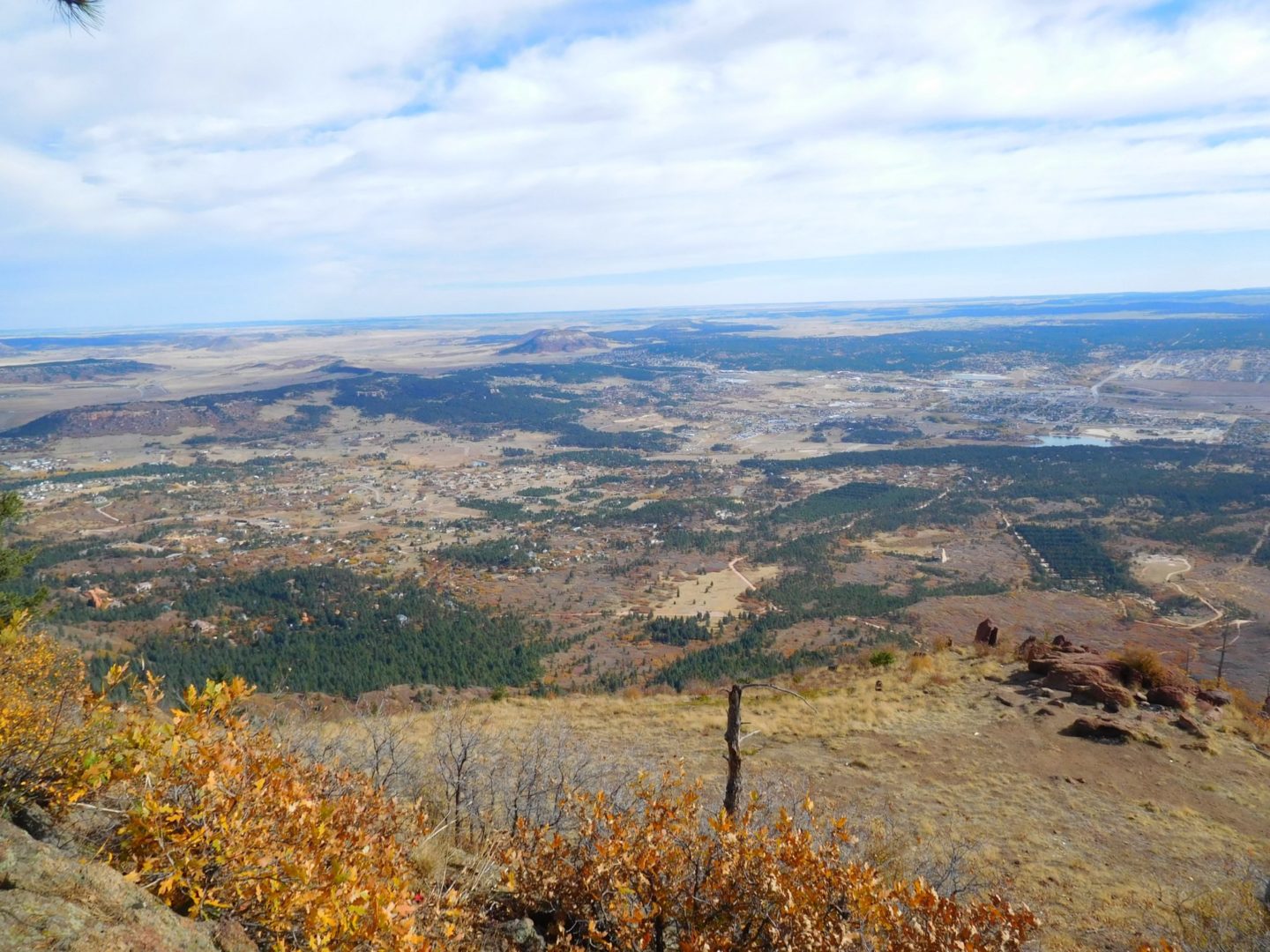
Summit view east
Summit view east
Mt Herman
Mt Herman

Approaching Monument Rock
Approaching Monument Rock
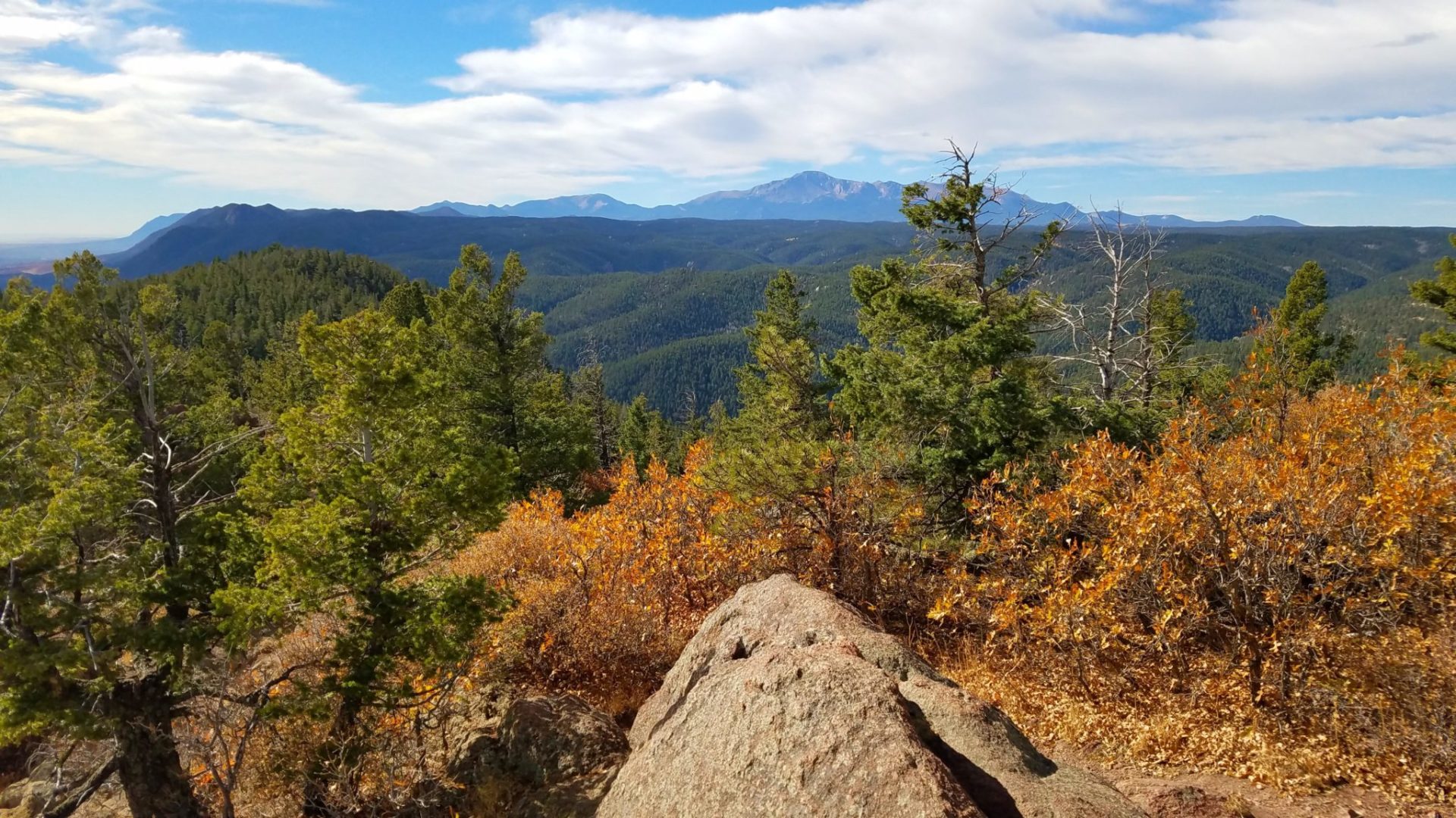
Summit view of Pikes Peak
Summit view of Pikes Peak
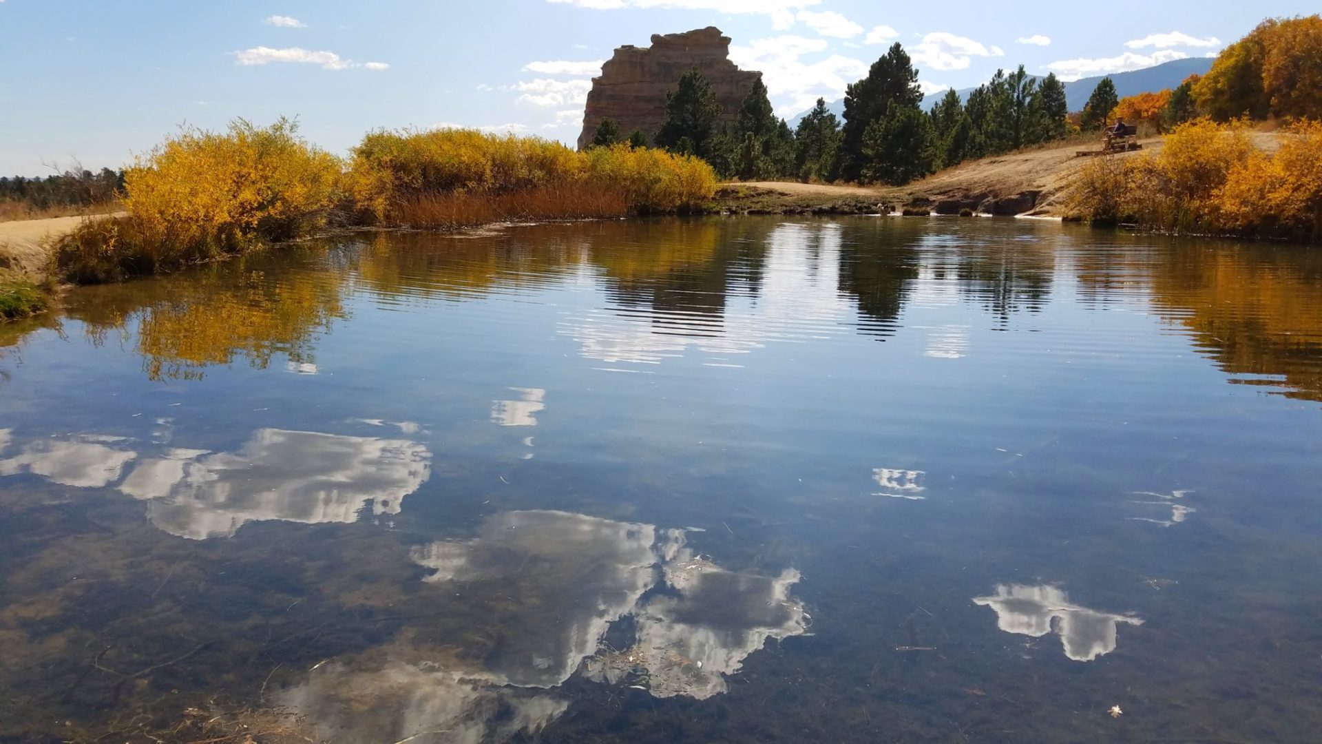
Pond in Mt Herman Park
Pond in Mt Herman Park
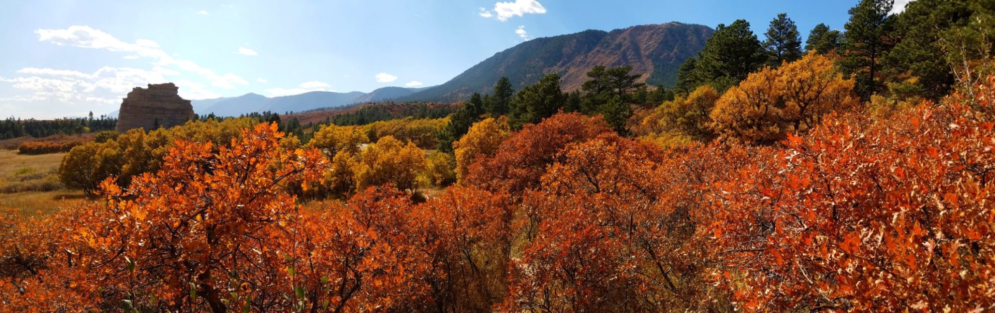
Panorama of the Palmer Divide
Panorama of the Palmer Divide
GPS Route with Elevation
Video Tour
Trail Directions
The trailhead is at a small parking area on a switchback on Mt. Herman Road. The trail begins along the the right side of a small creek, climbing gradually. Quickly you arrive at an unmarked junction and follow the trail on the far right.
The trail will begin to steepen immediately. There are sections as you head up where the trail is hard to follow, so when in doubt, head up. The summit will be on your left once along the ridge. The are lots of cairns along the last section of the trail.
Trailhead Directions