Handies Peak (14,058′), San Juan Range
Handies Peak (14,058′), San Juan Range
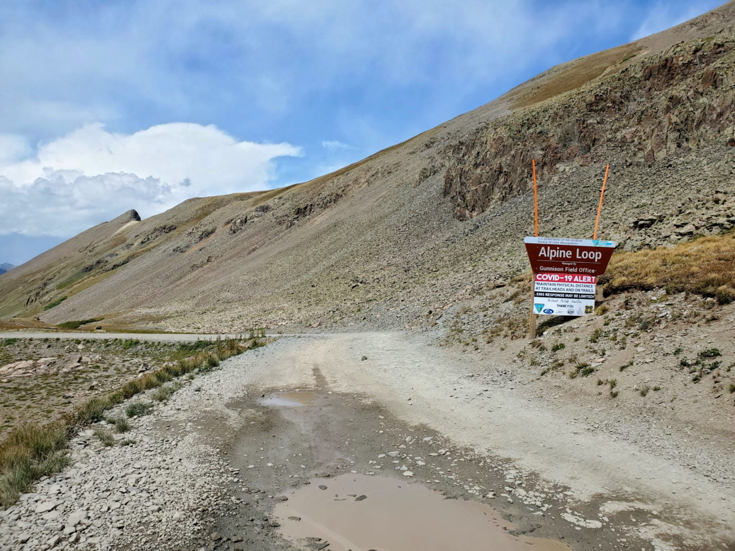
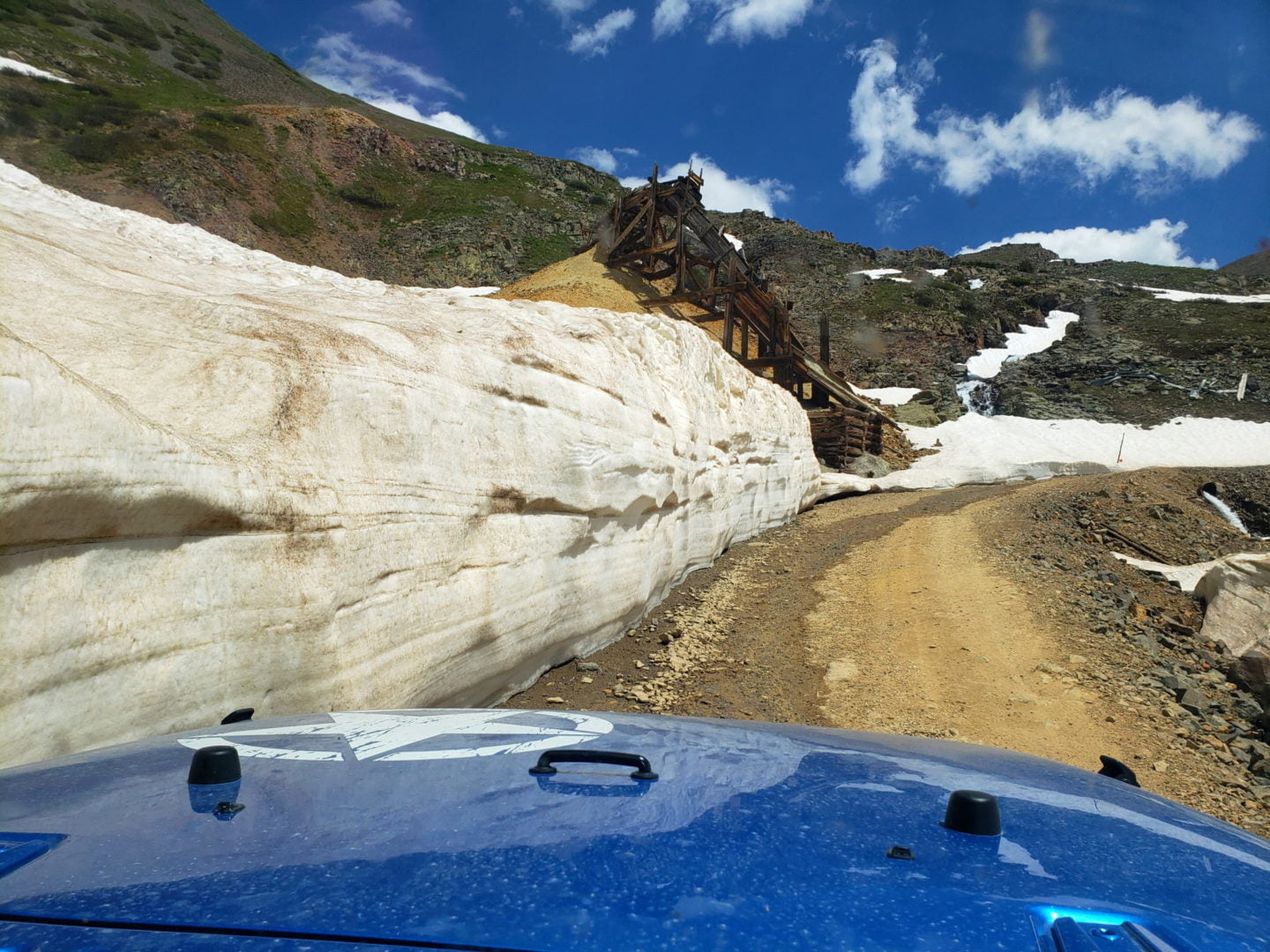
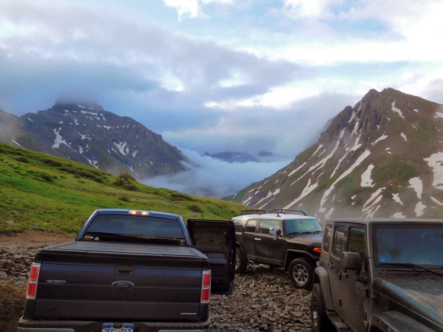
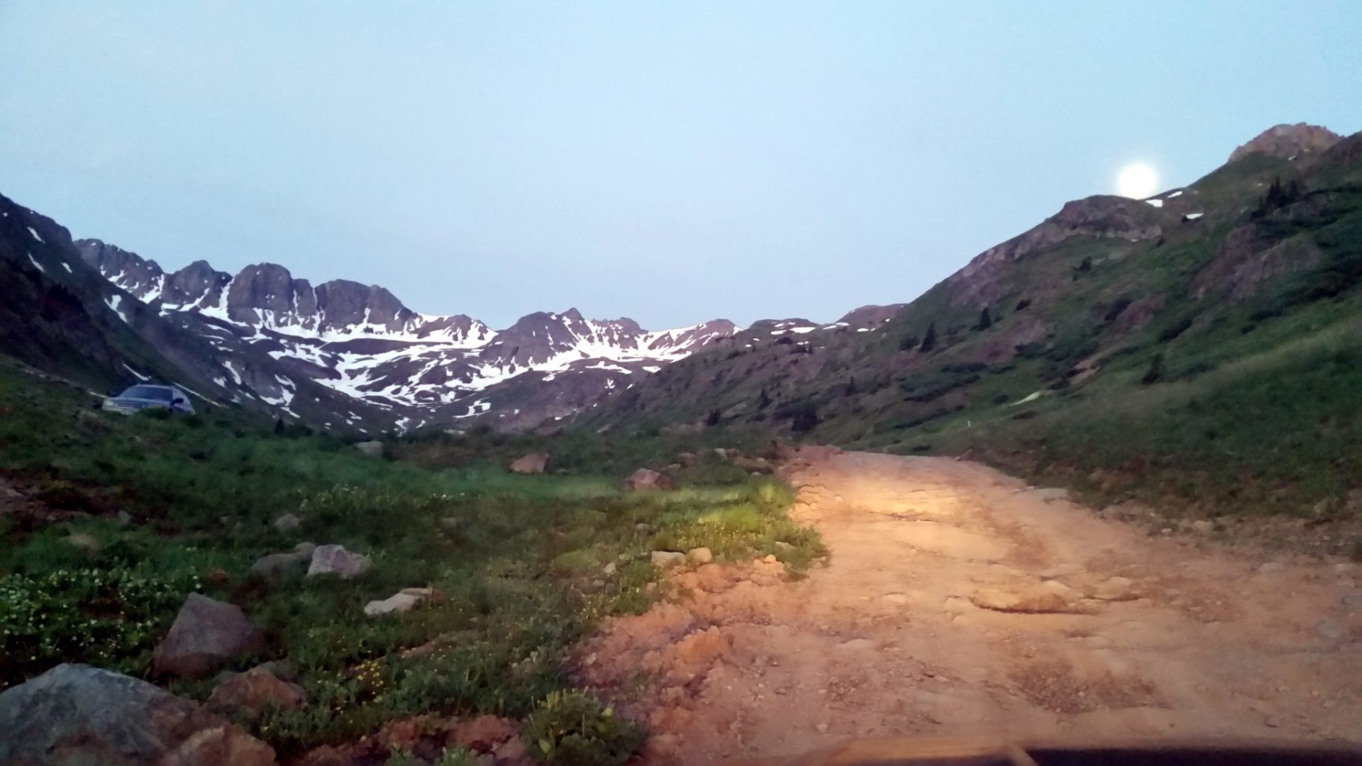
Handies Peak, which rises to 14,048 feet in elevation, is the highest point of land managed by the Bureau of Land Management. Among Colorado’s 14ers, Handies Peak is considered one of the more straightforward climbs, although getting to American Basin can be a challenge. It is highly recommended that a high-clearance 4×4 vehicle is used to get to the trailhead, as it is located along the Alpine Loop. The standard route, known as the Southwest Slopes, is a Class 1 hike. This means it’s a non-technical ascent on a well-defined trail with minimal exposure.
Trail Stats
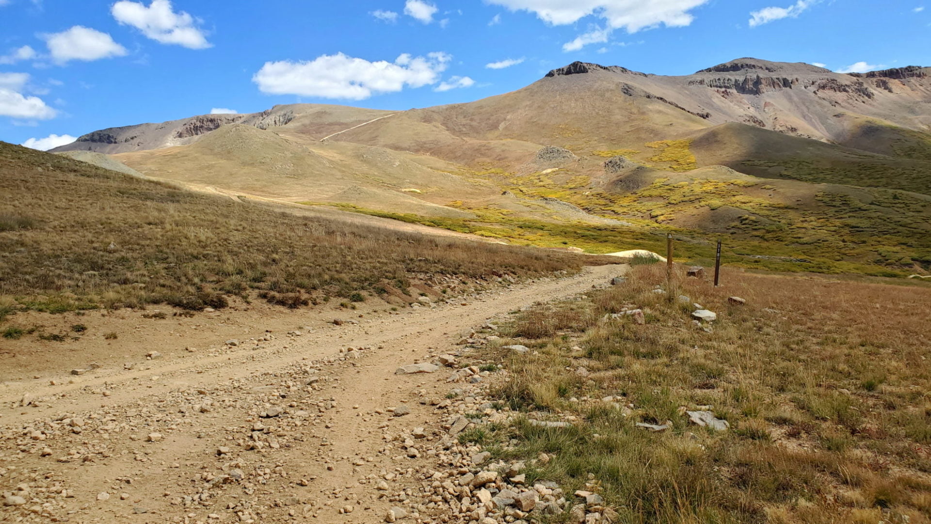
- Trailhead: American Basin
- Round trip: 6 miles (9.7 km)
- Elevation: 11,600′- 14,058′ (3,535 m – 4,285 m)
- County: Hinsdale
- Wilderness Study Area: Handies Peak

Trail Pictures
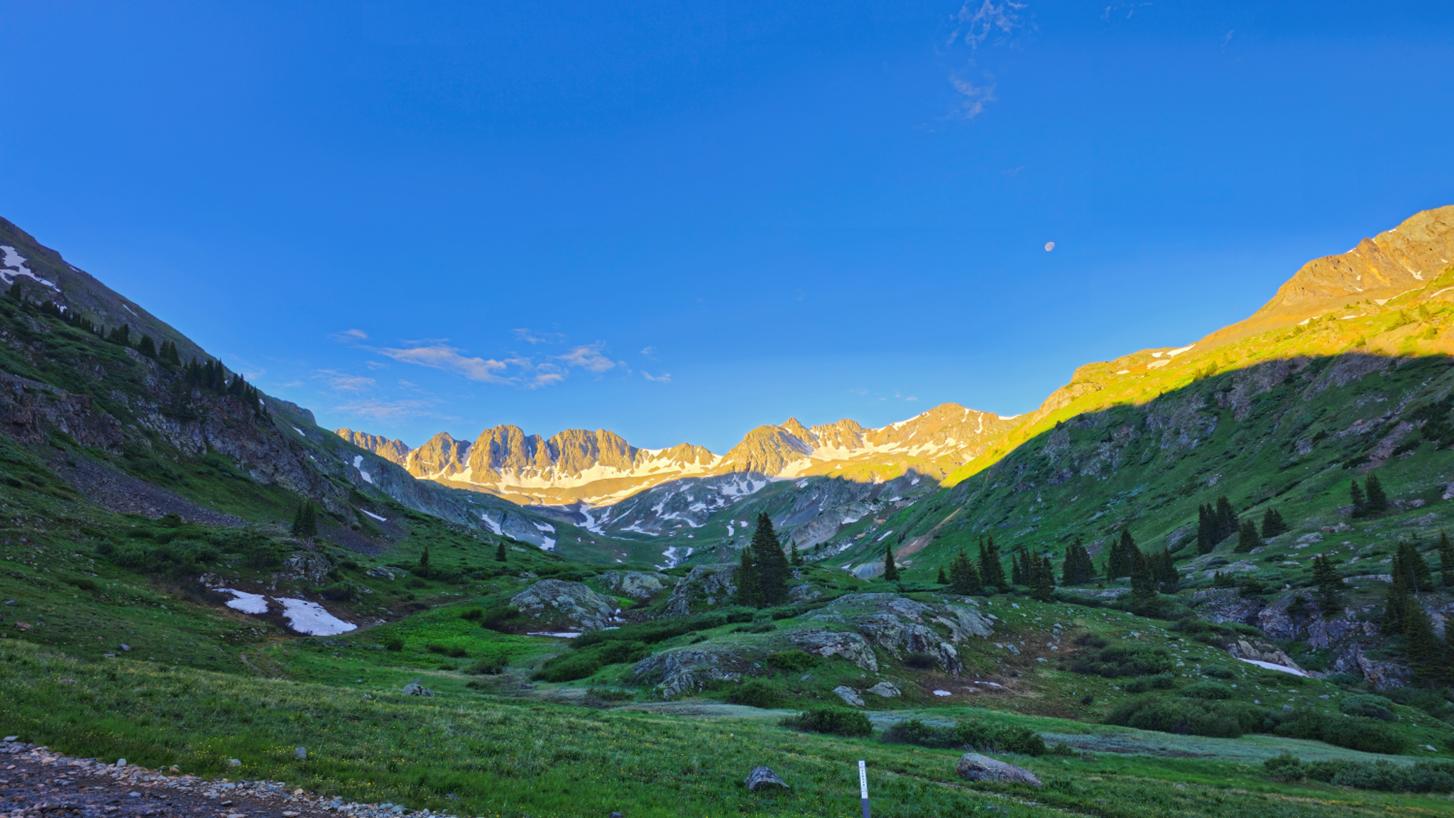
Alpine Glow on American Basin
Alpine Glow on American Basin
20240625_080836
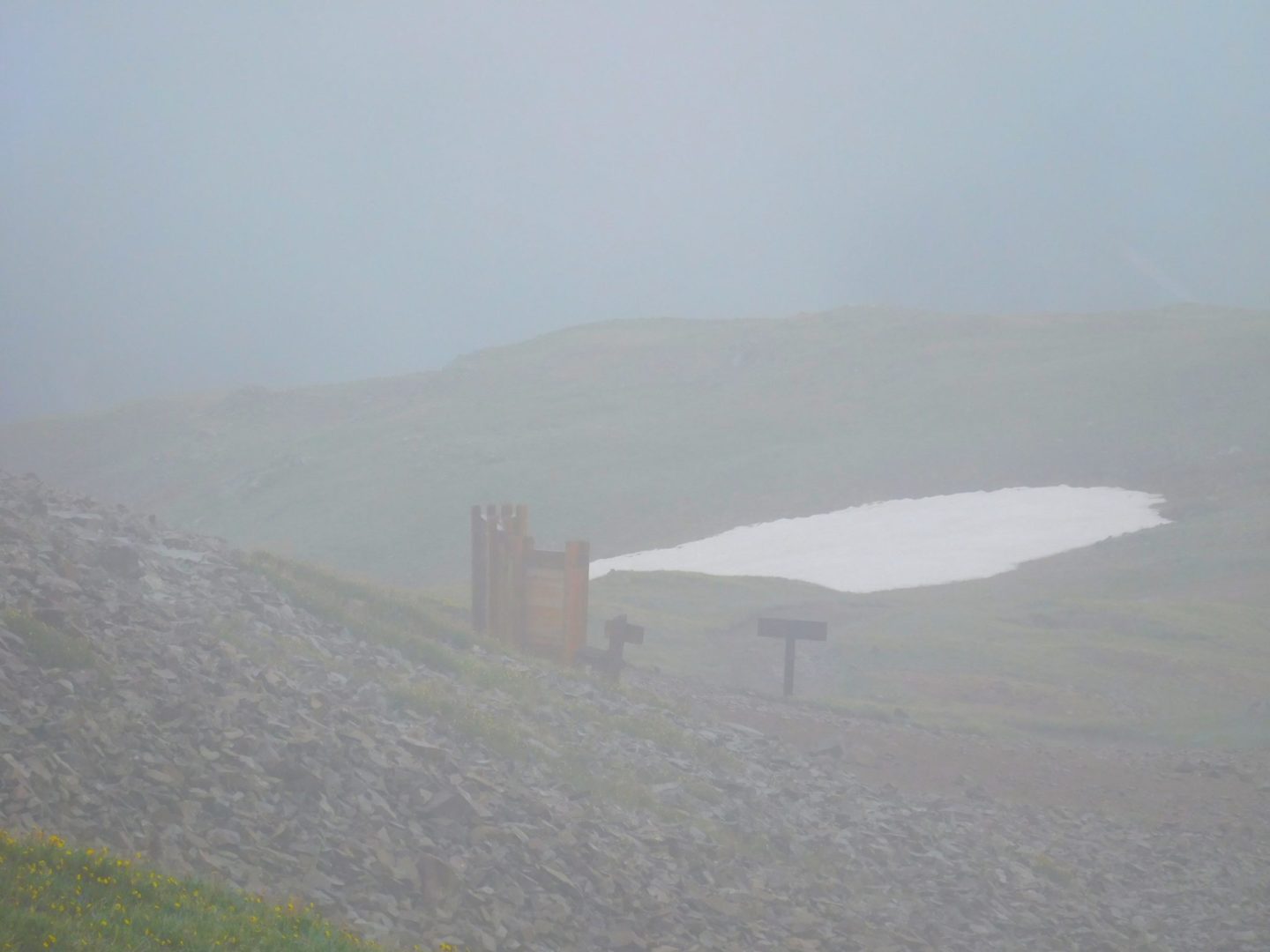
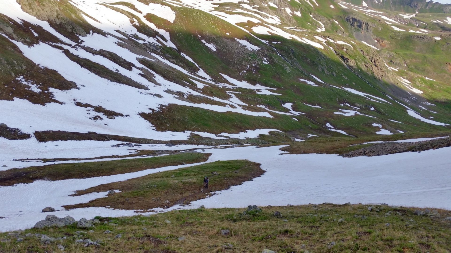
Just below Sloan Lake
Just below Sloan Lake

Sloan Lake thawing out in late June
Sloan Lake thawing out in late June
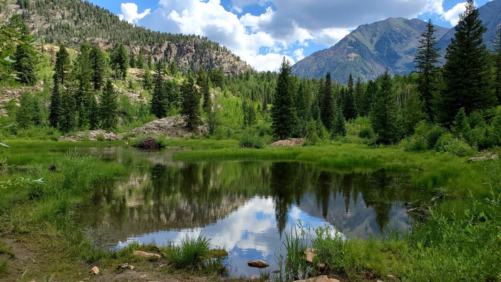
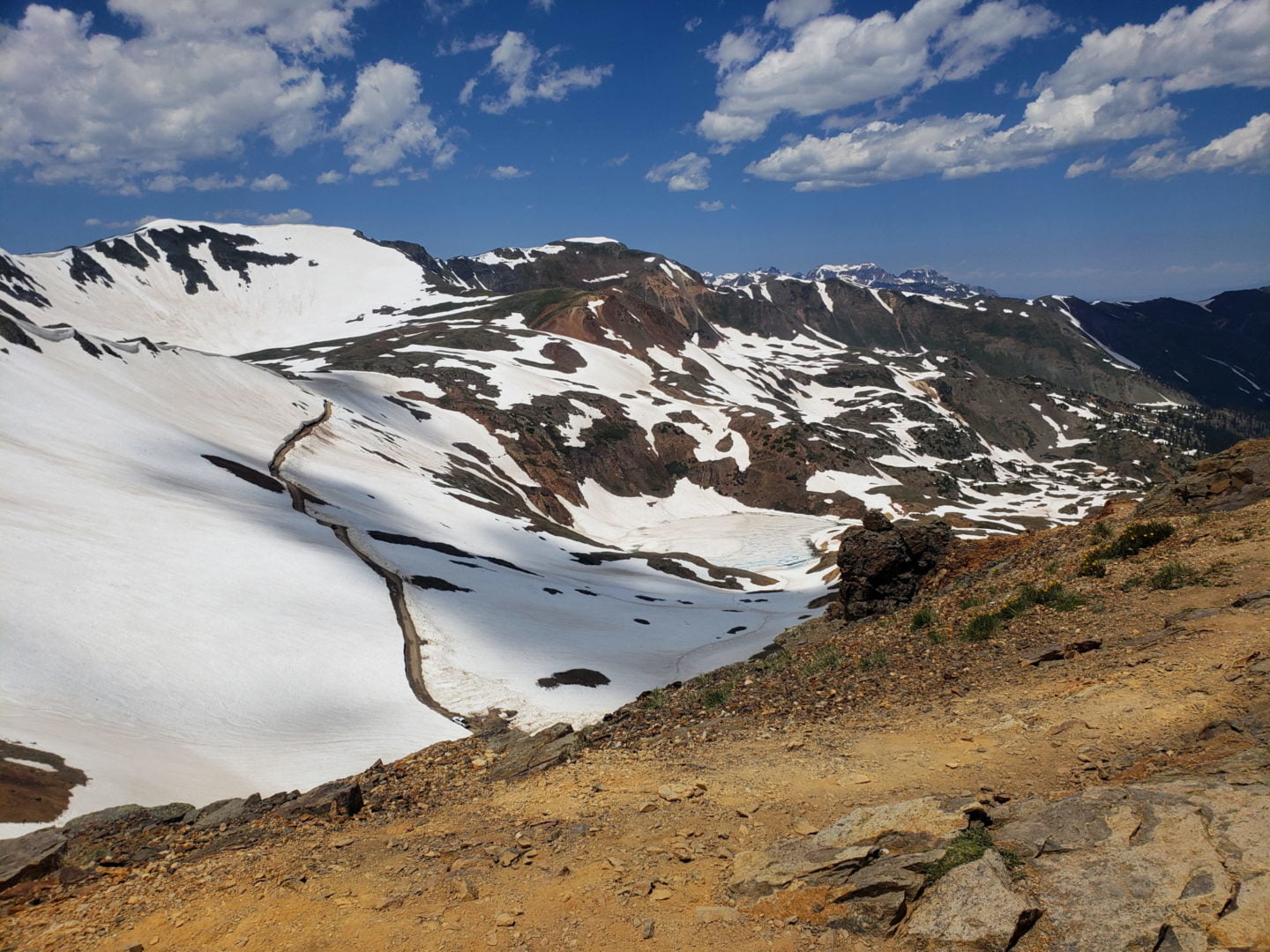
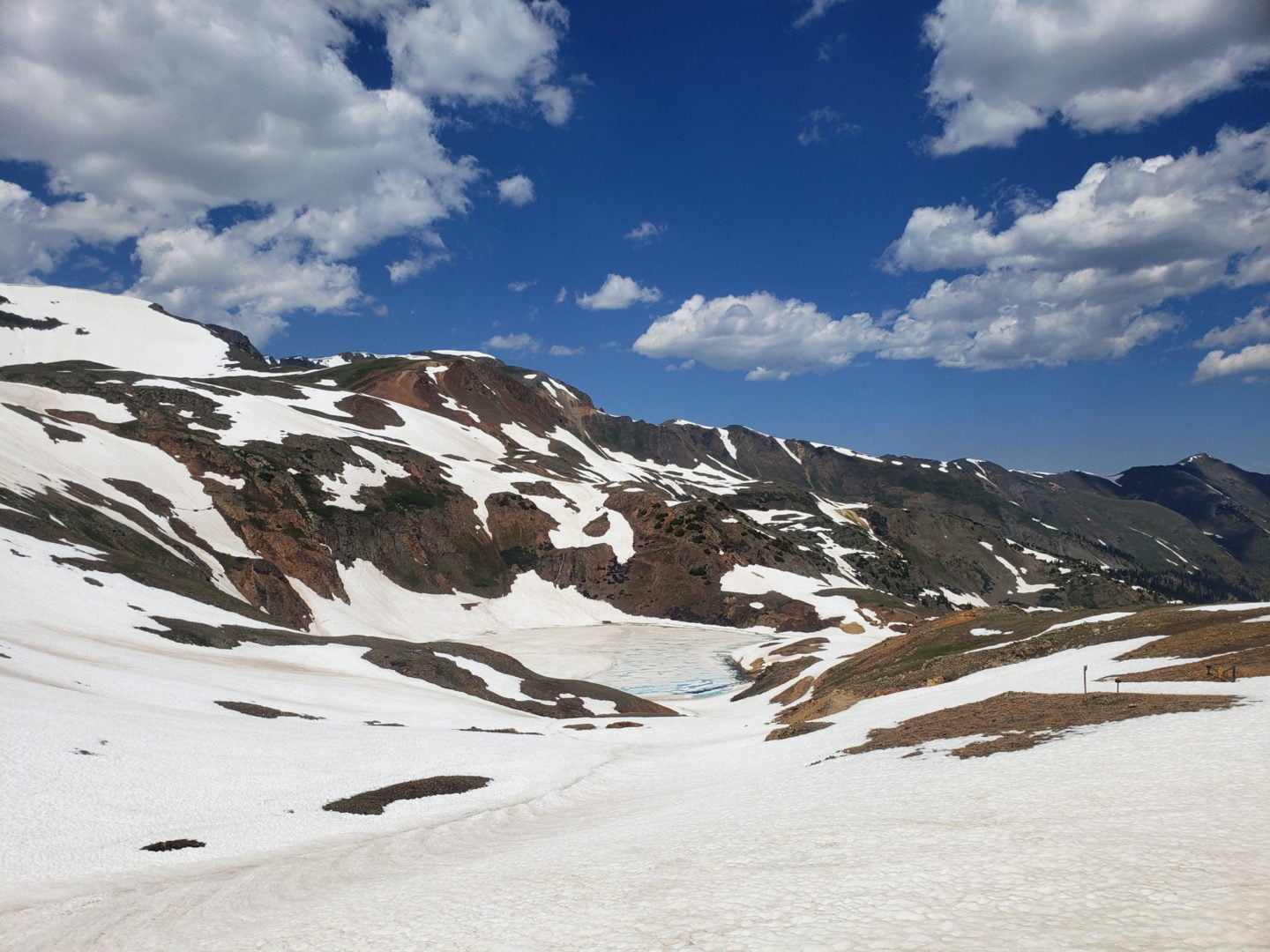
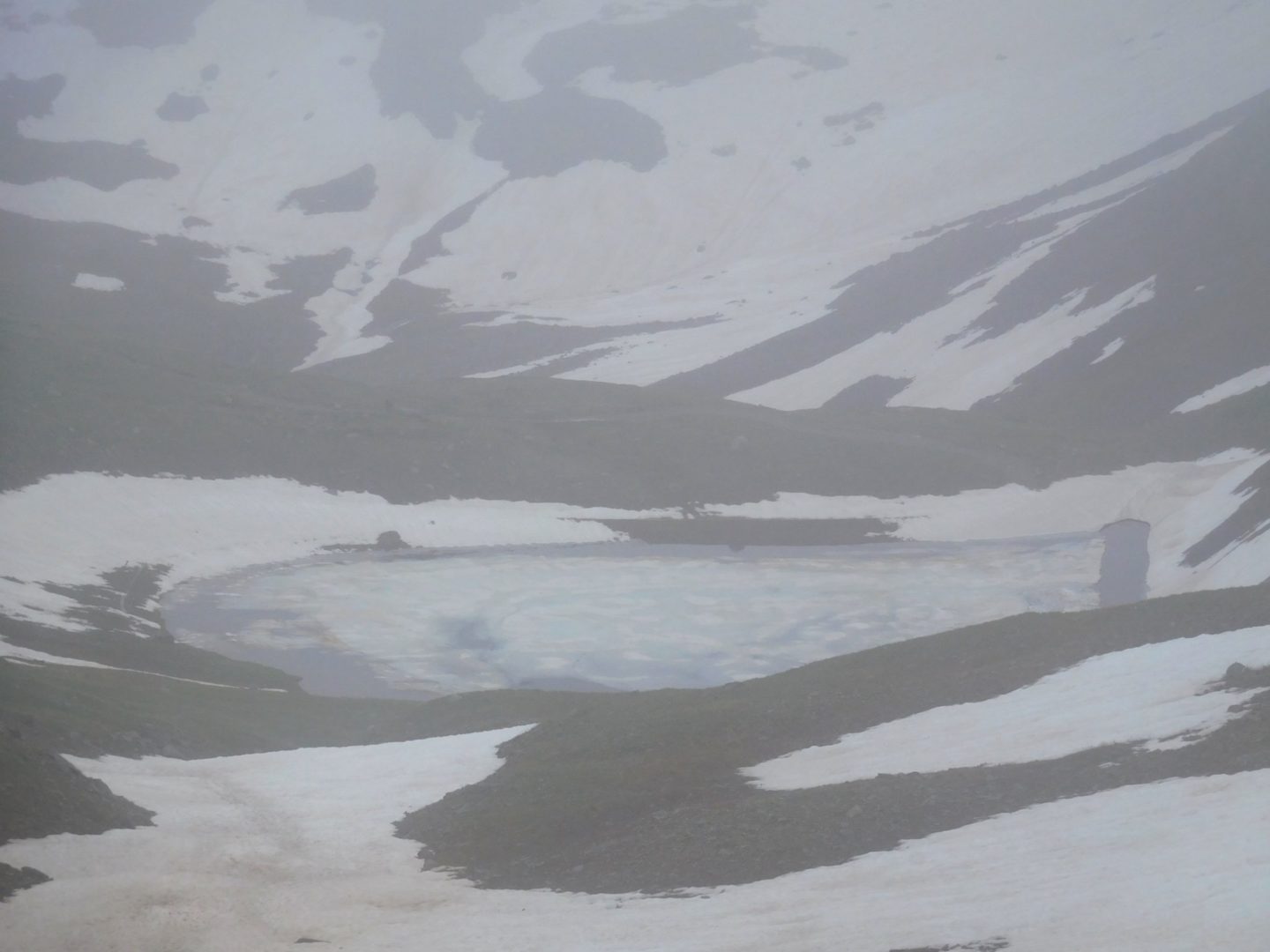
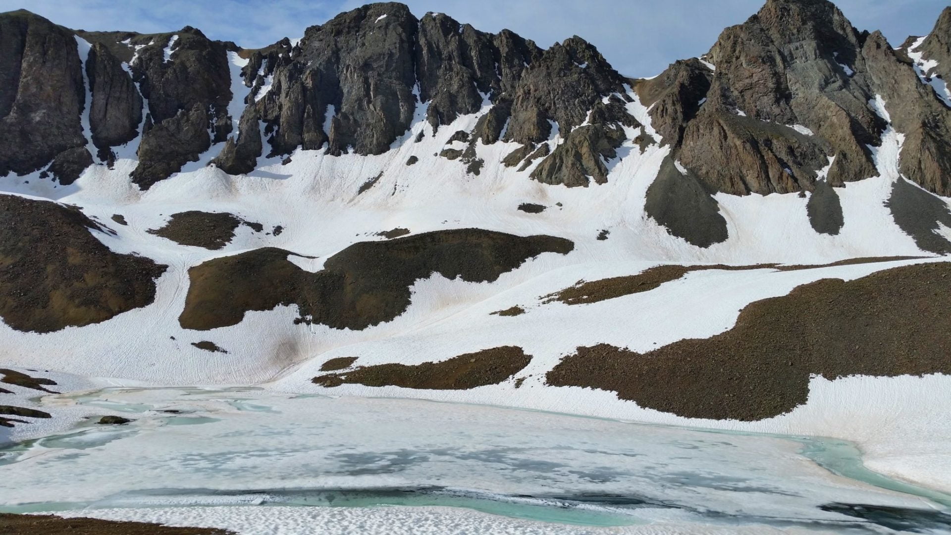
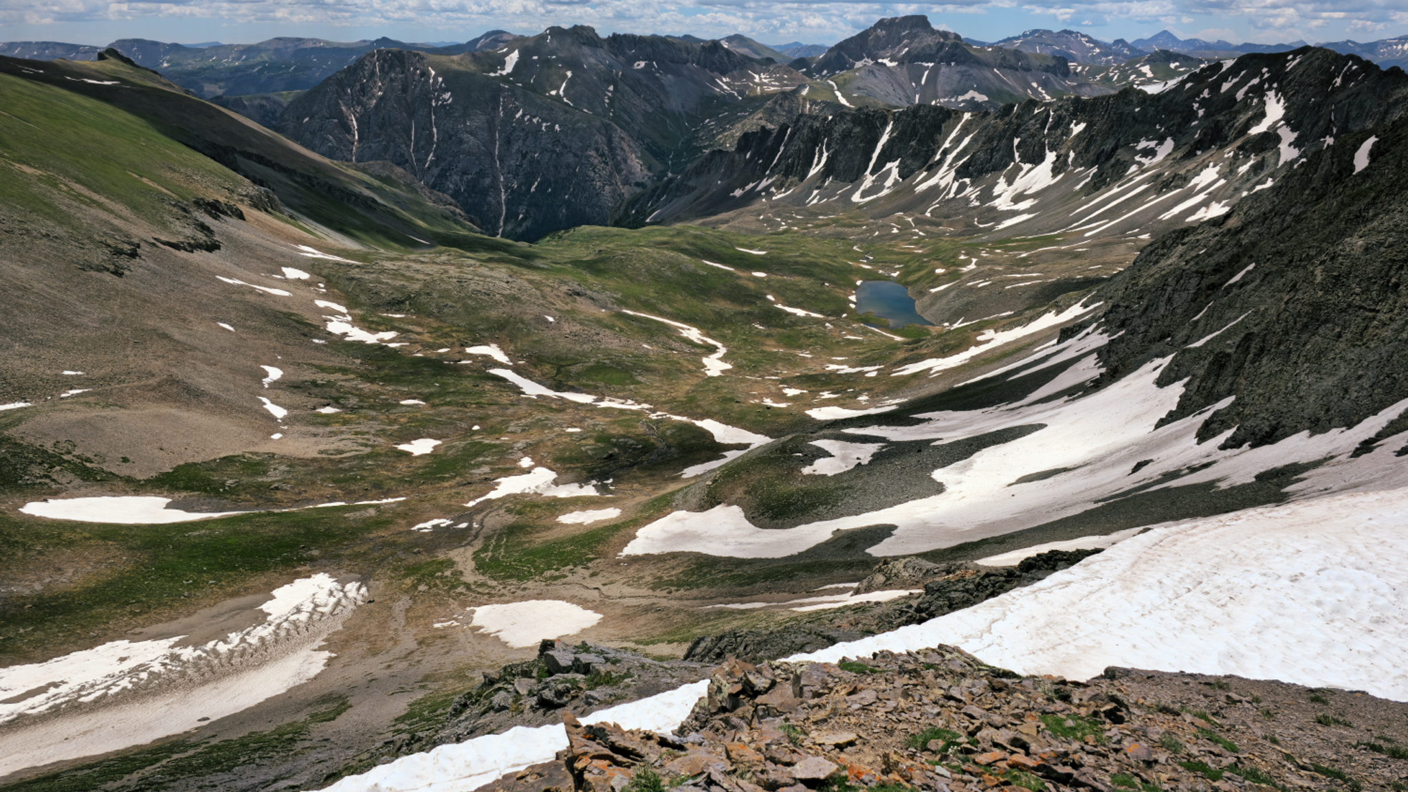
Unnamed Lake in Grizzly Gulch
Unnamed Lake in Grizzly Gulch
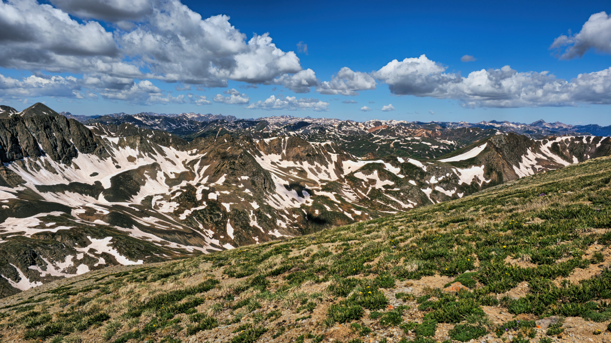
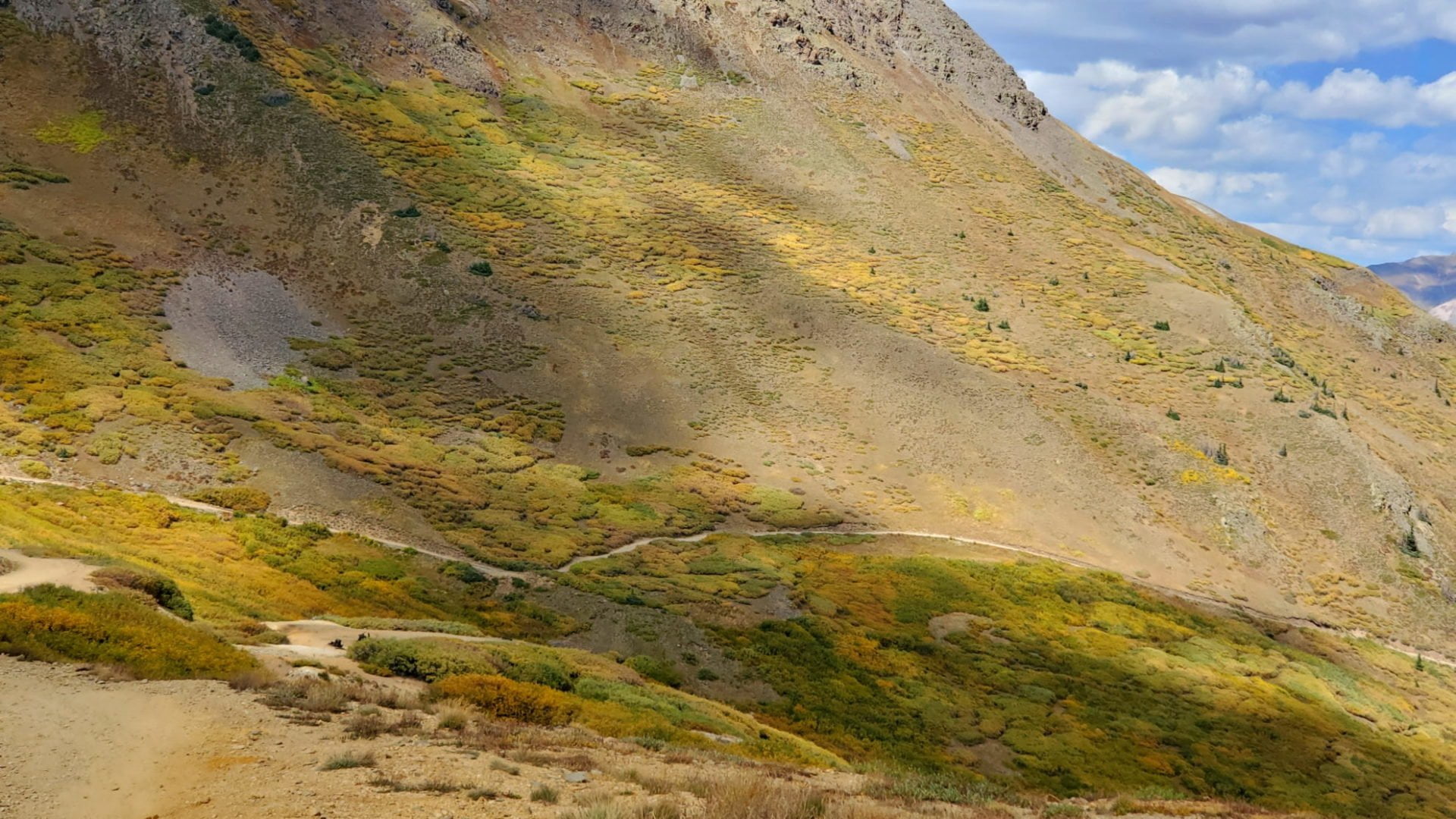
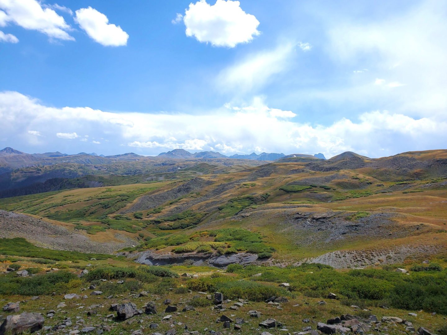
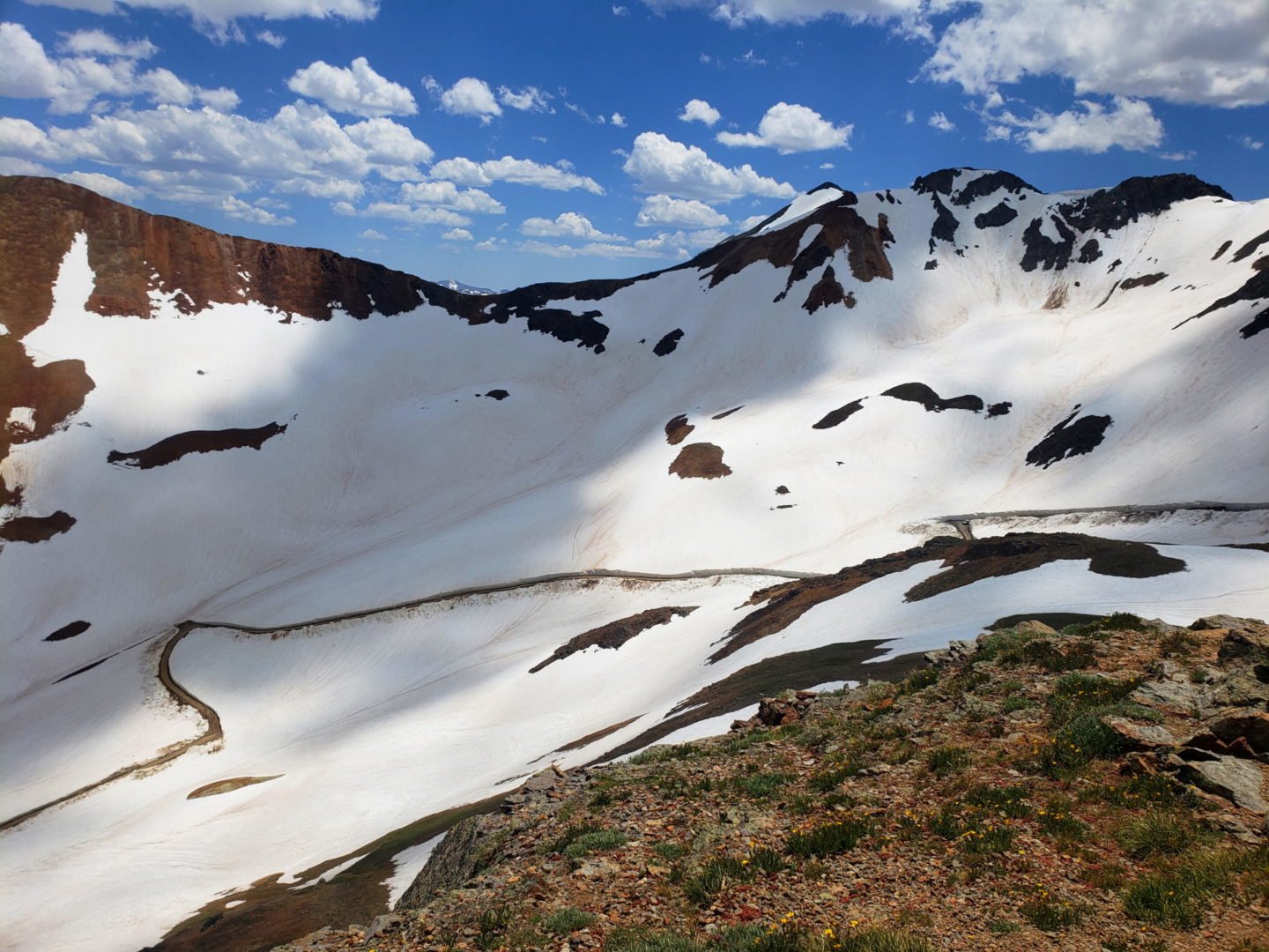
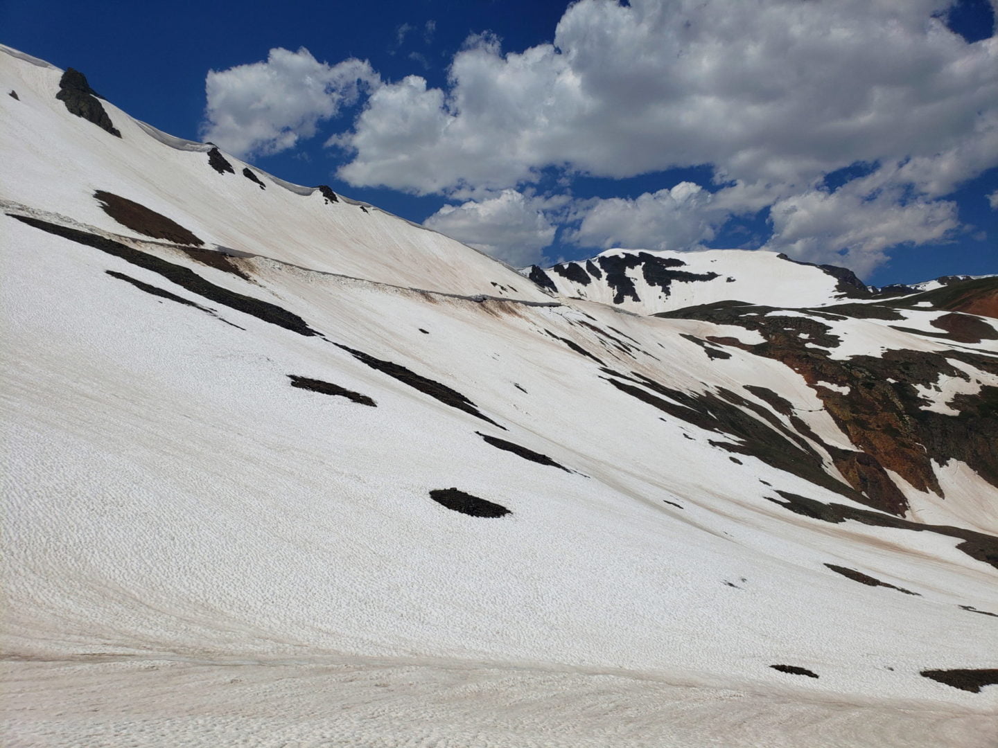
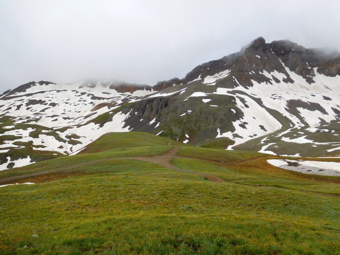
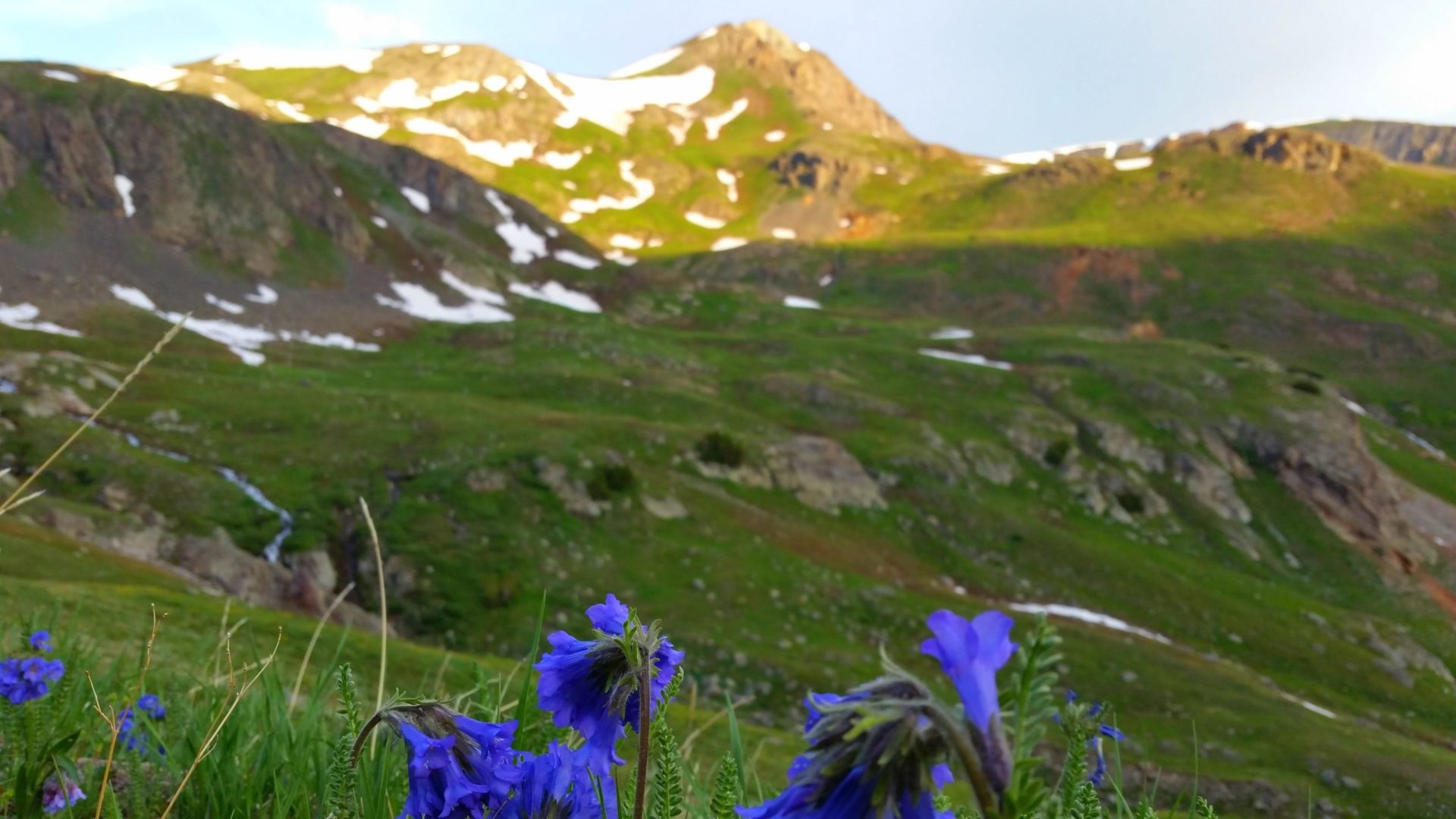
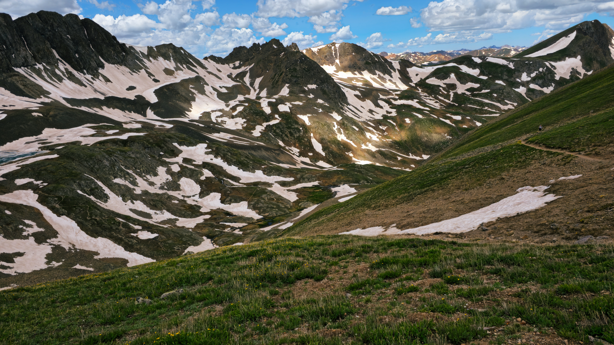
Mountain views forever in the San Juan Range
Mountain views forever in the San Juan Range
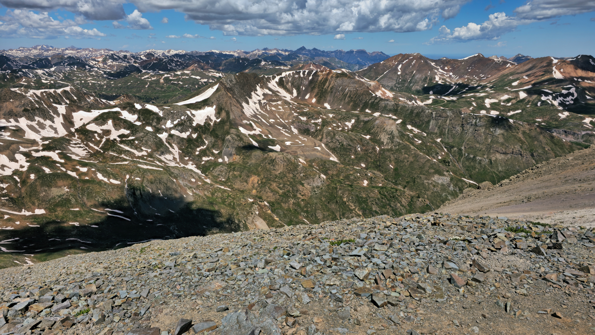
Summit view of American Basin
Summit view of American Basin
Amazing views in every direction from the summit
Amazing views in every direction from the summit
Views to the north from the summit
Views to the north from the summit
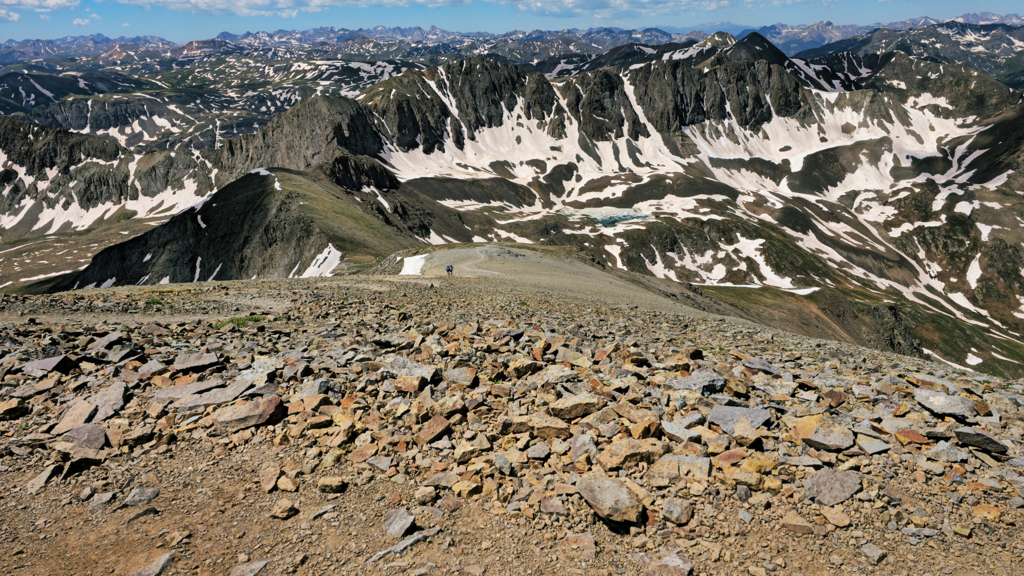
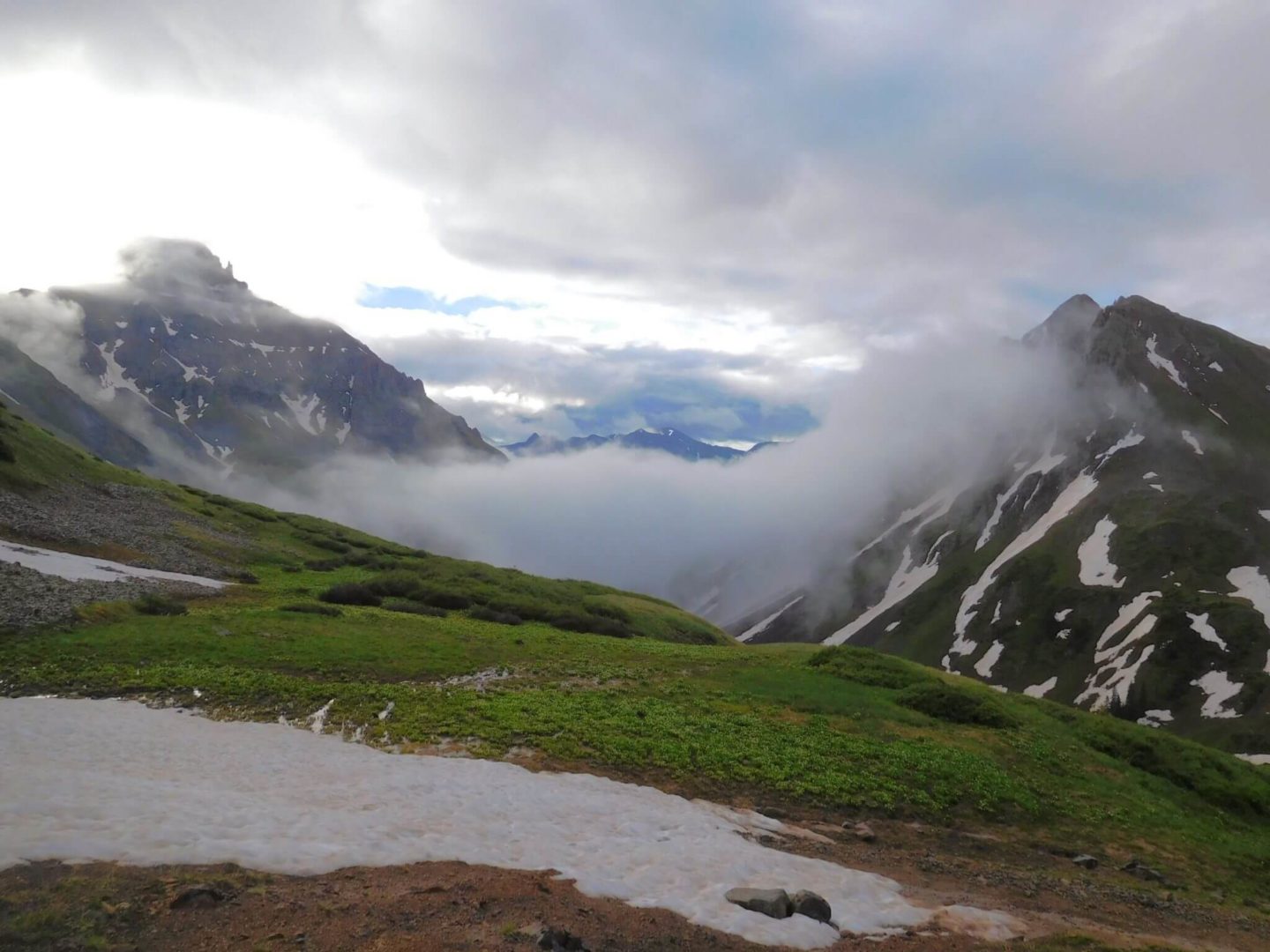
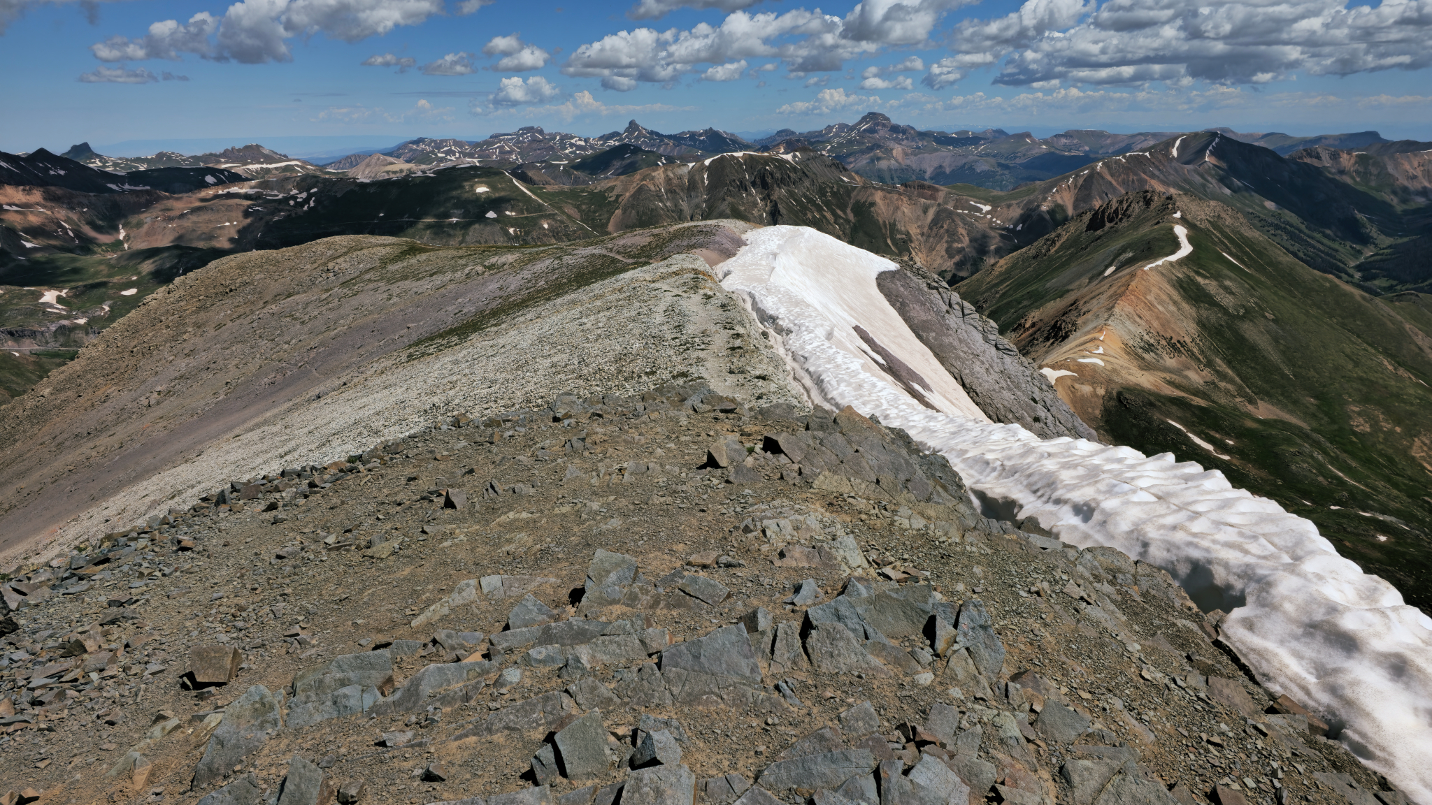
Looking back from the summit
Looking back from the summit
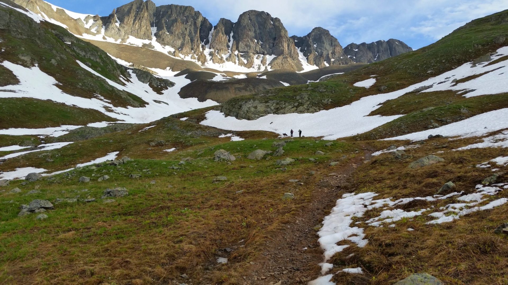
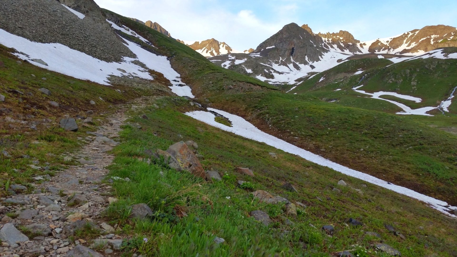
The route up to the ridge, passing Sloan Lake
The route up to the ridge, passing Sloan Lake
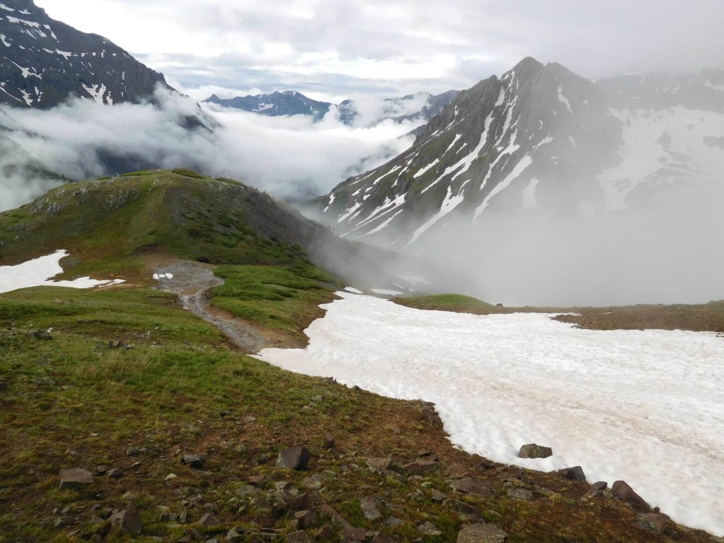
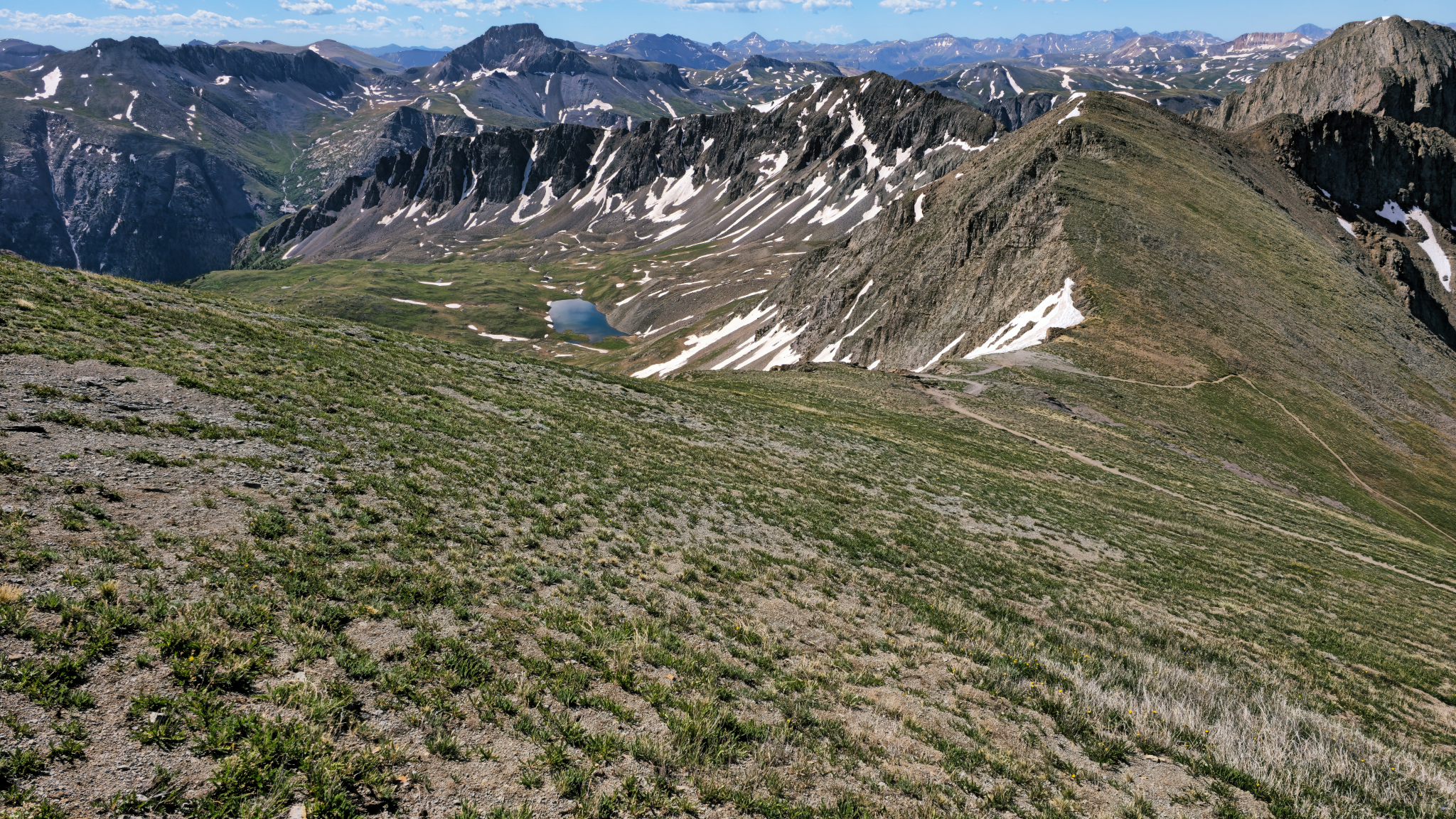
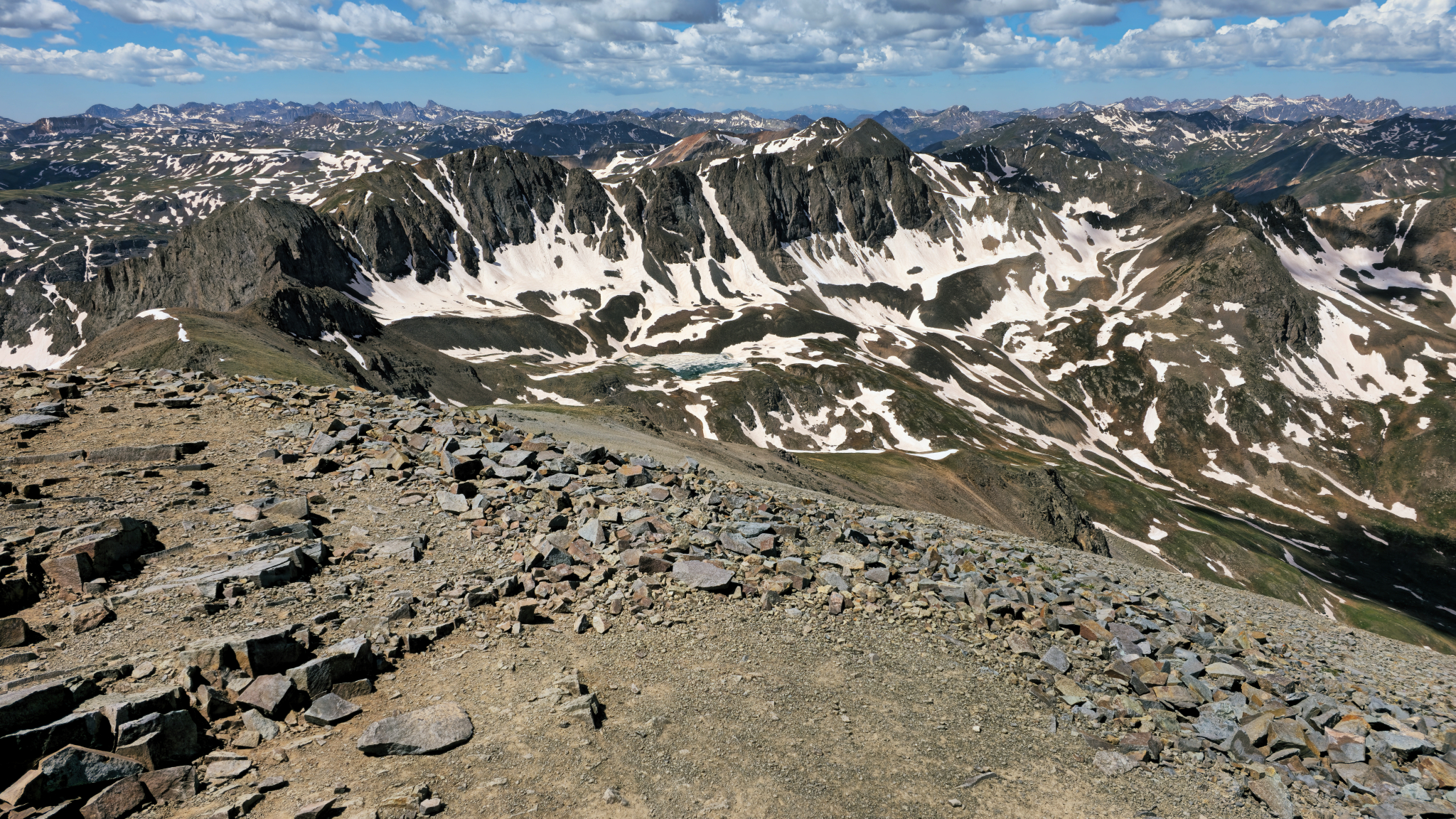
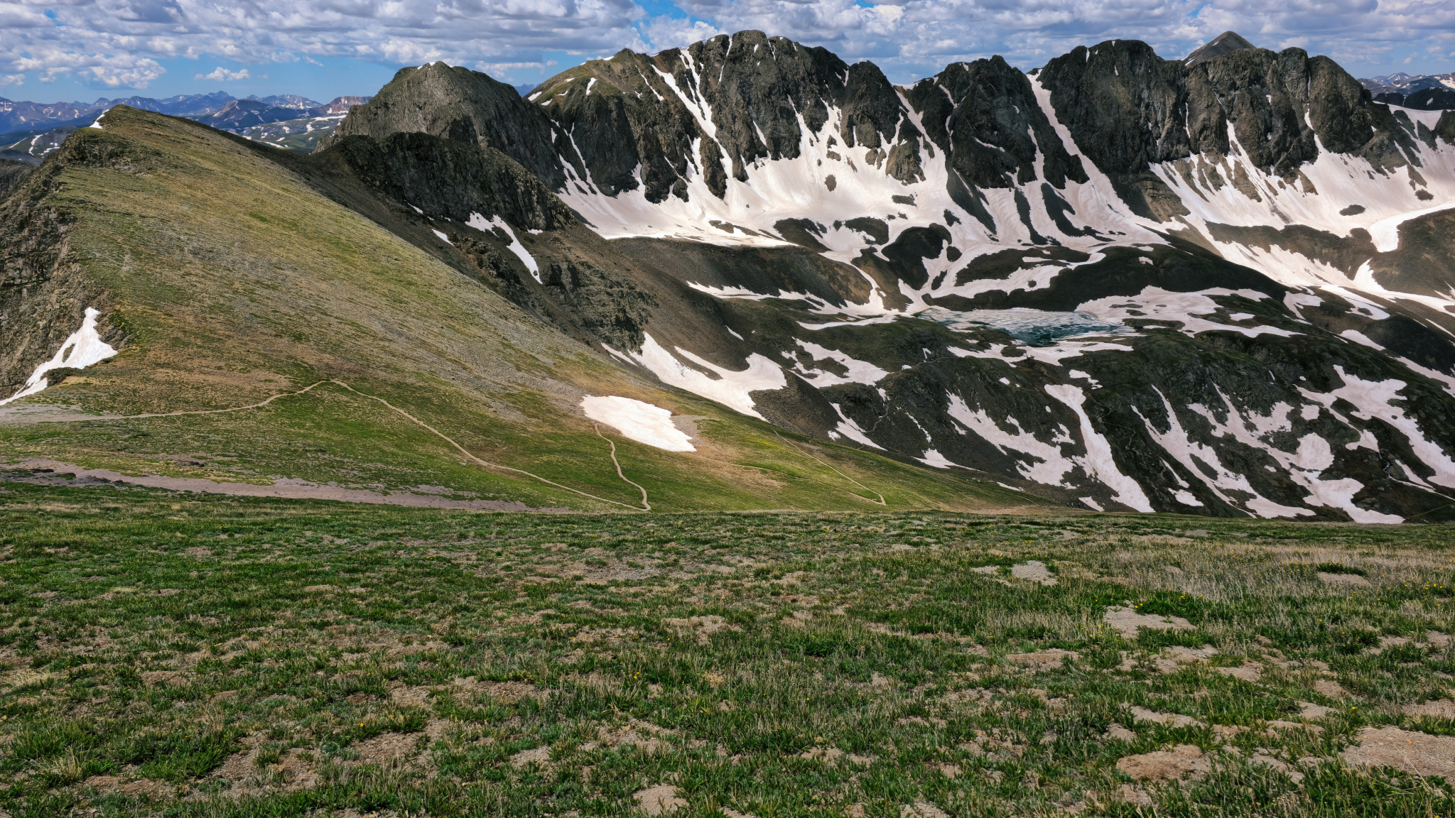
Grizzly Gulch from the summit
Grizzly Gulch from the summit
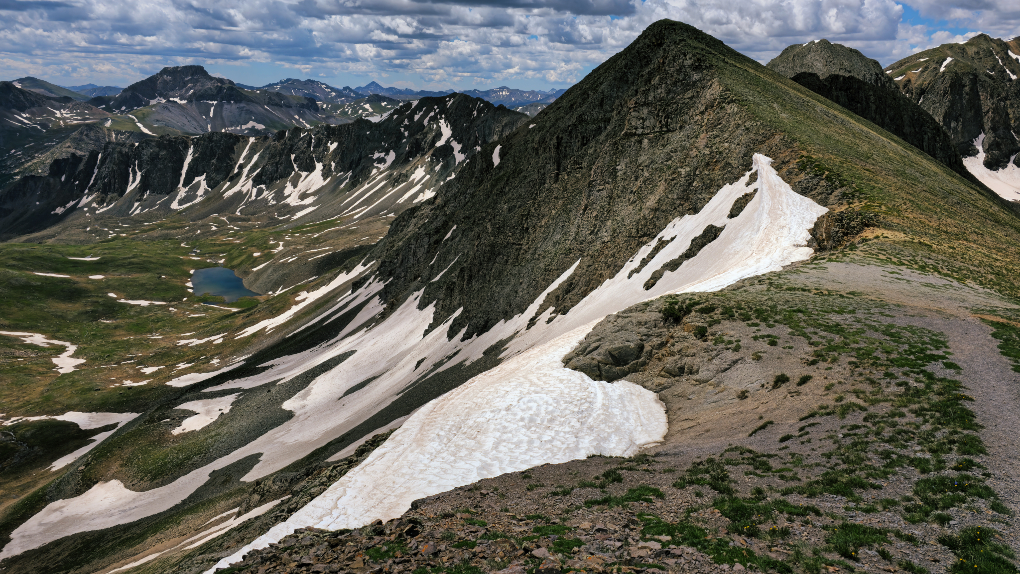
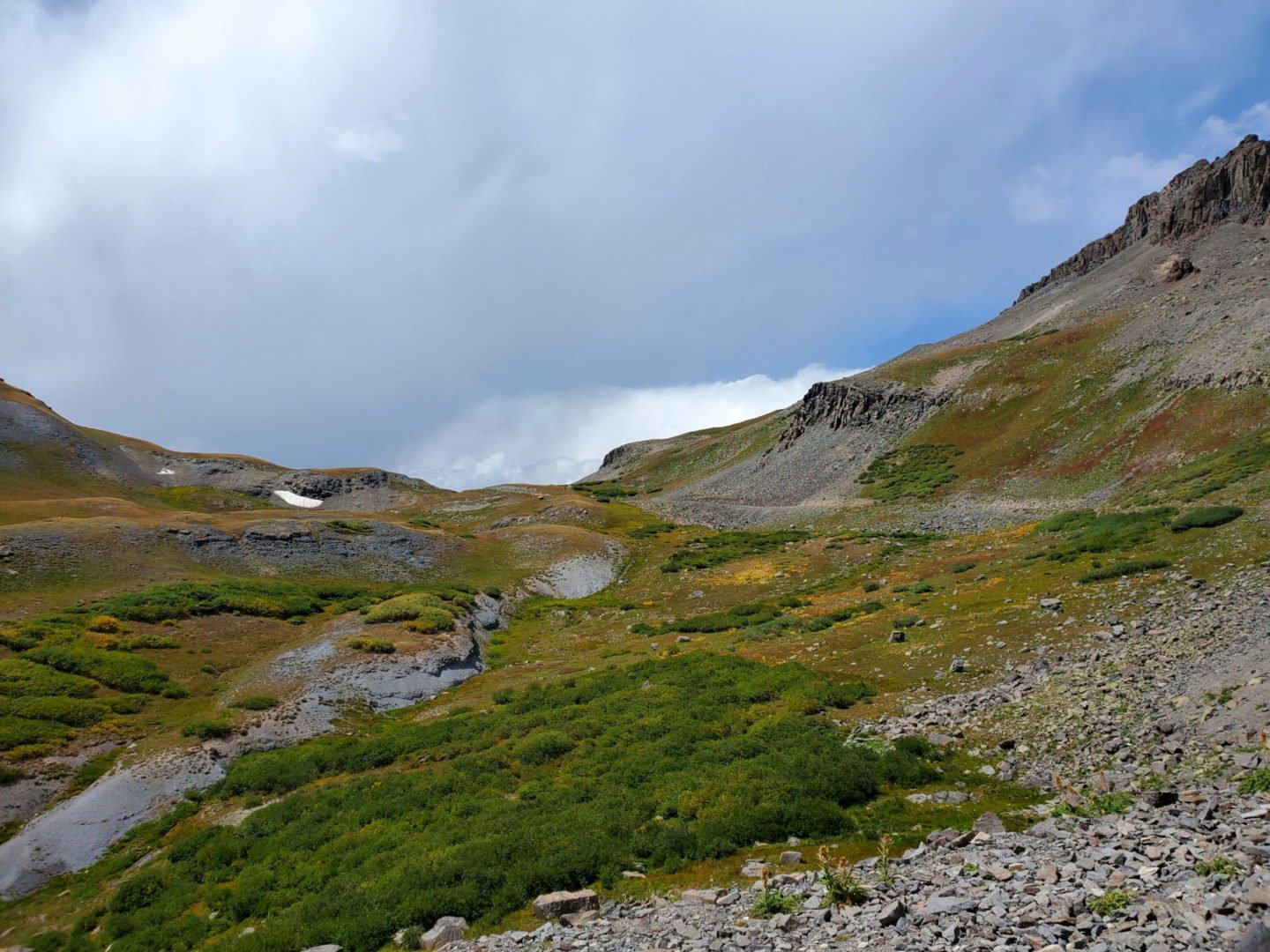
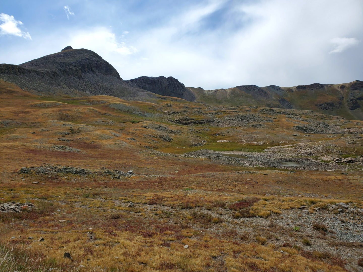
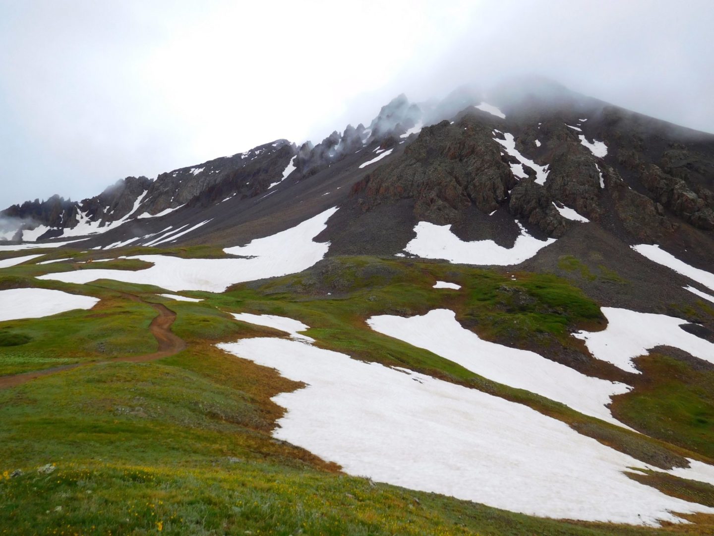
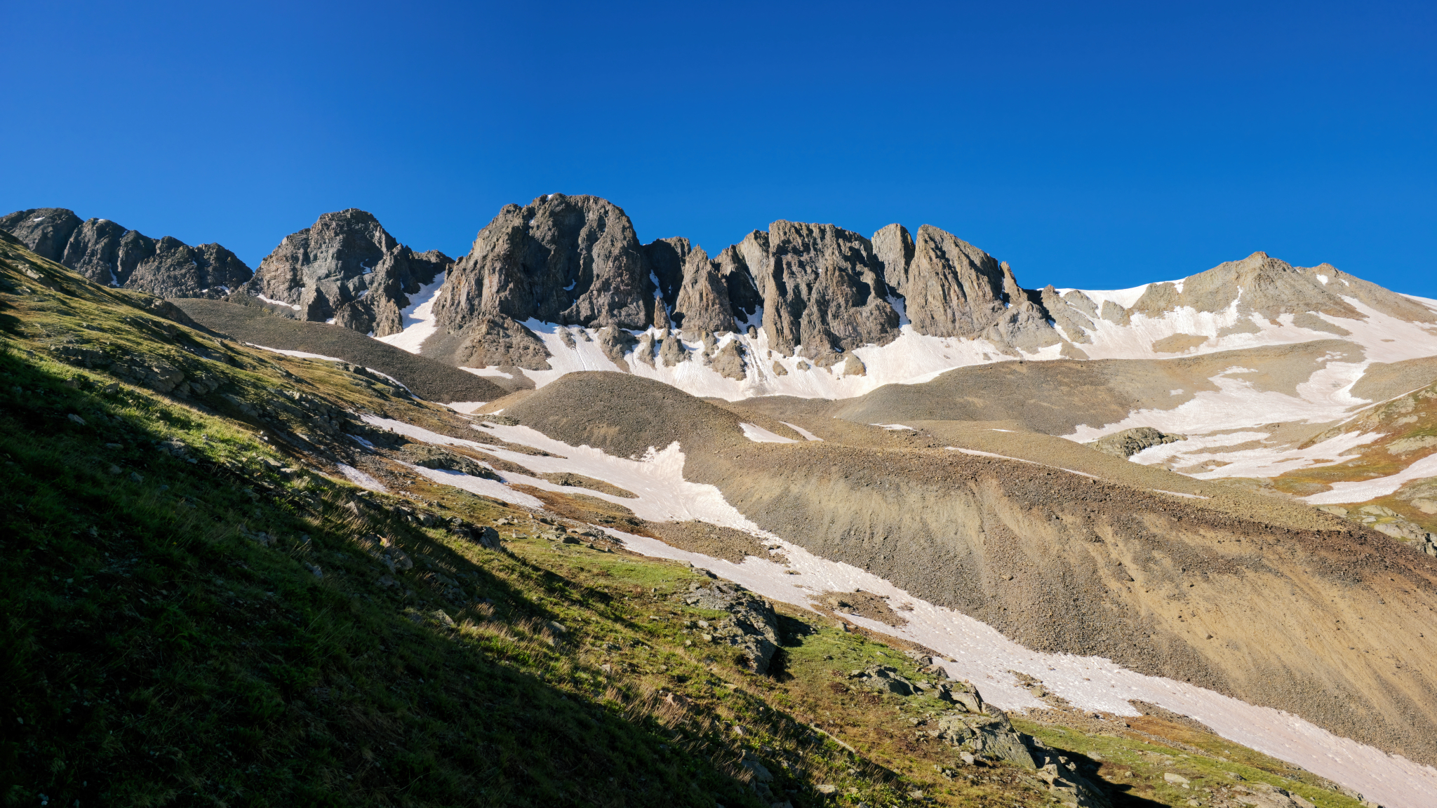
Unnamed peak at over 13,800′
Unnamed peak at over 13,800′

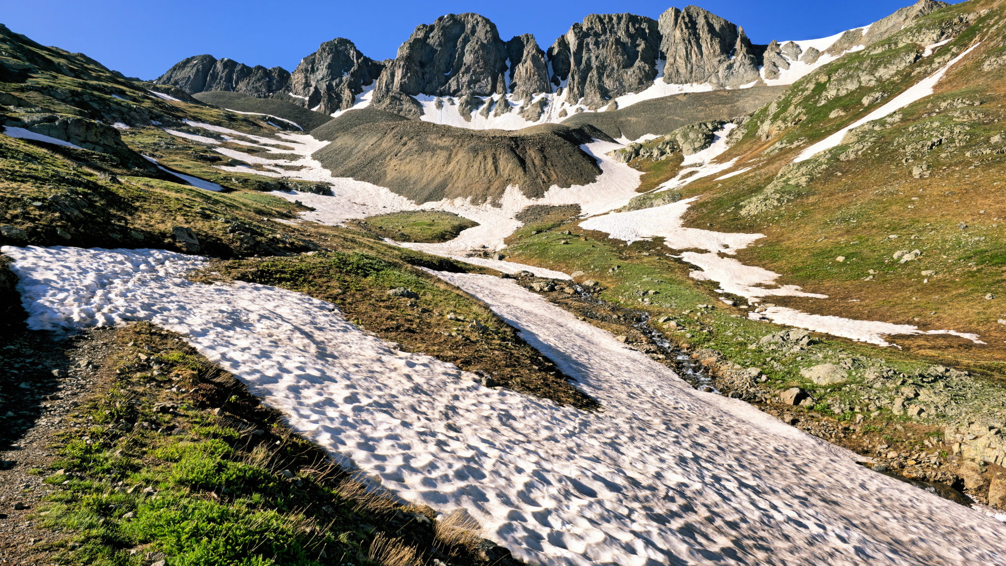
View of Sloan Lake from the trail
View of Sloan Lake from the trail
View to the southwest
View to the southwest
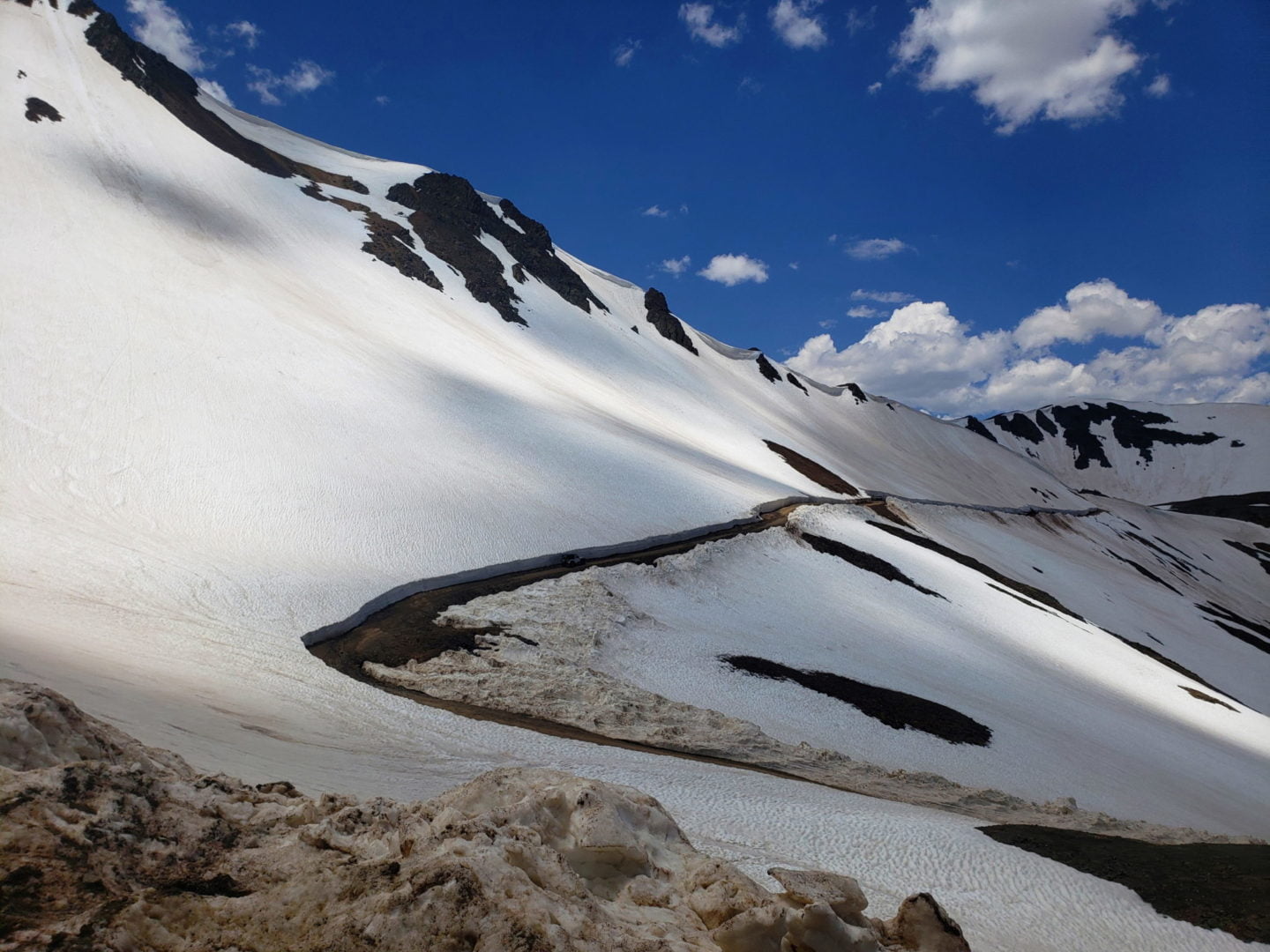
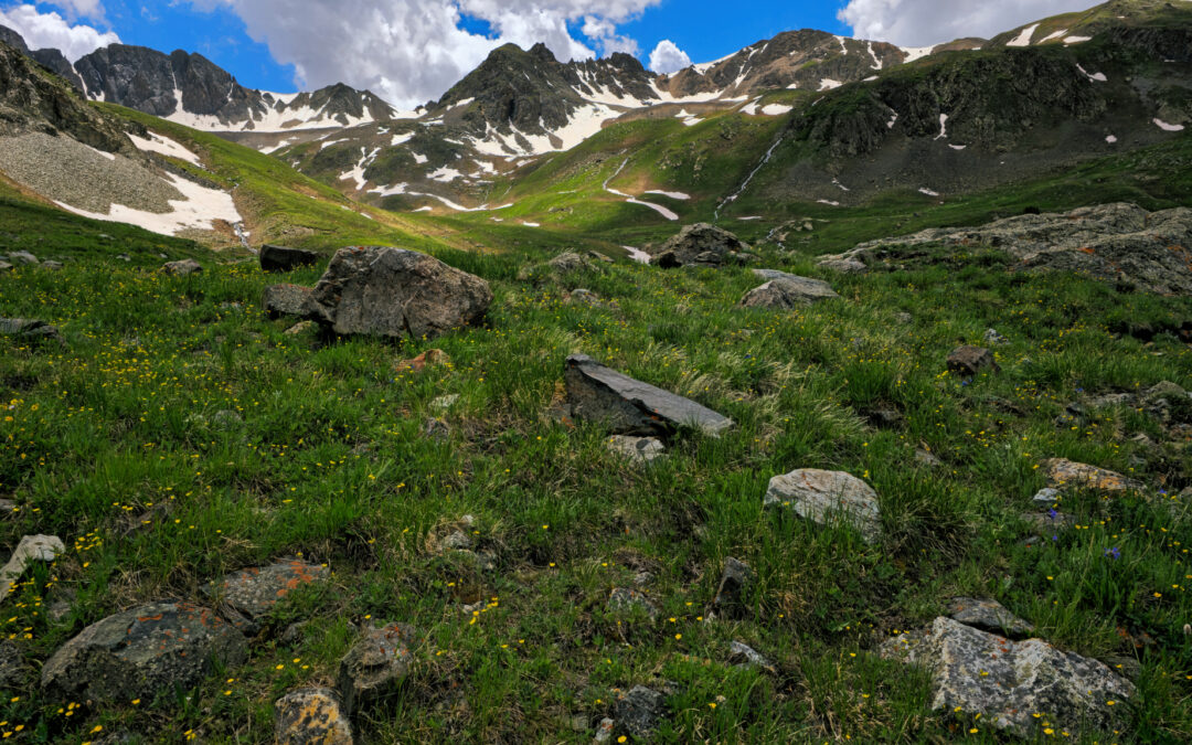
The San Juan mountains are spectacular.
The San Juan mountains are spectacular.
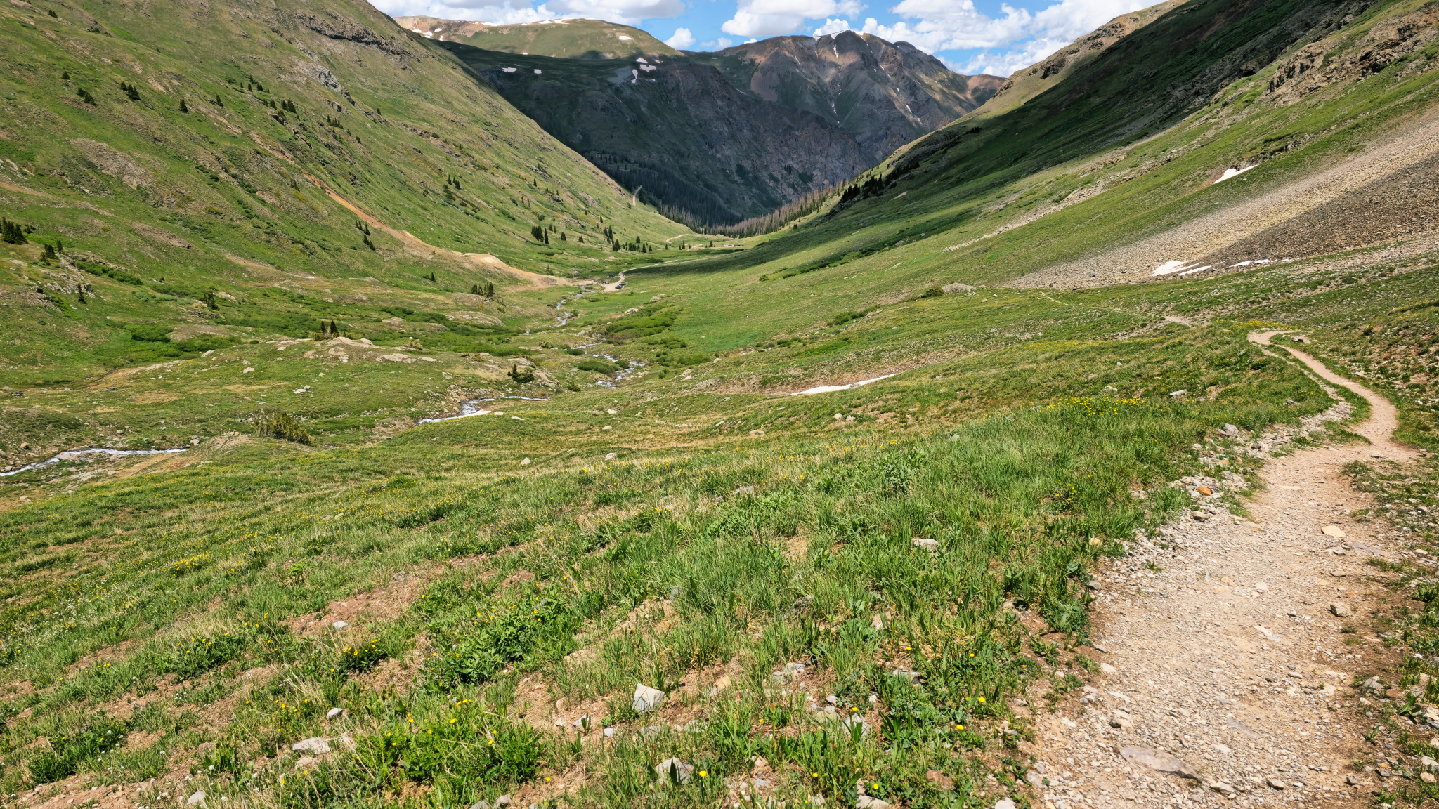
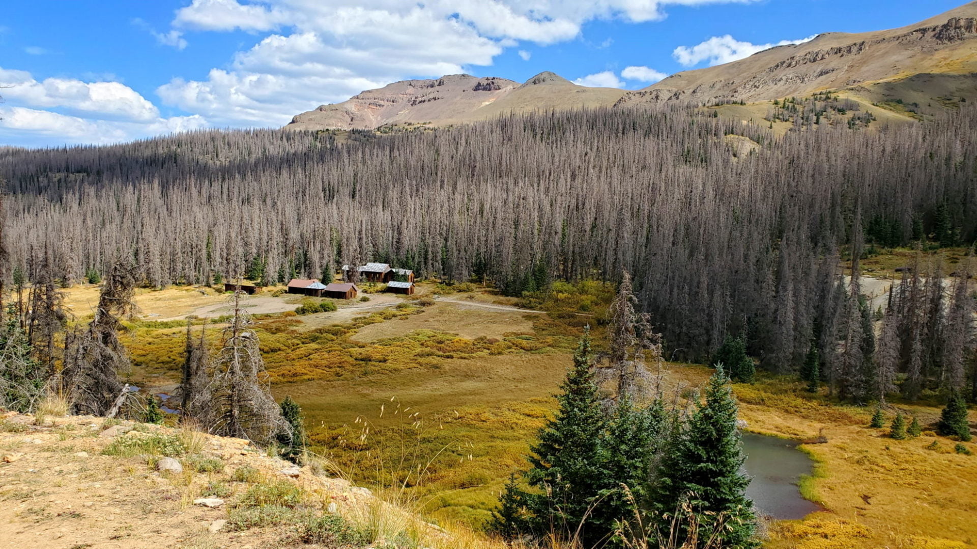
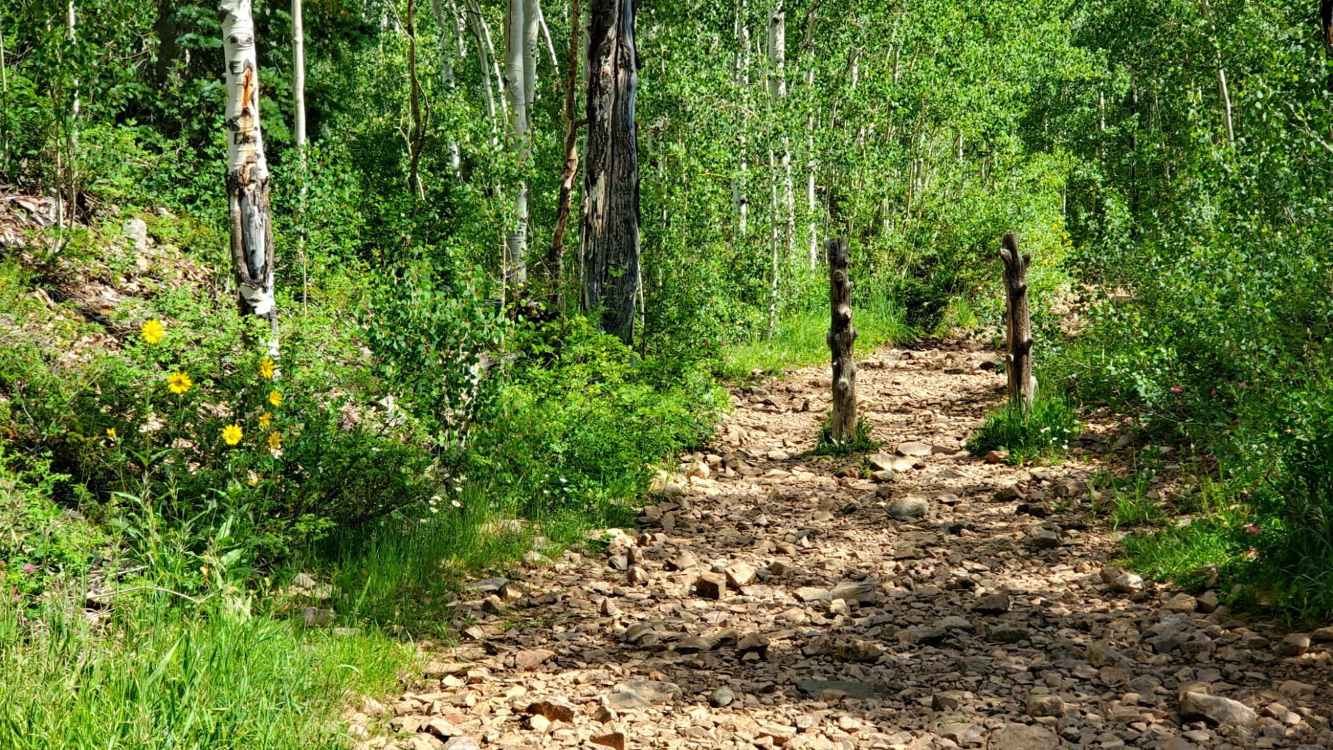
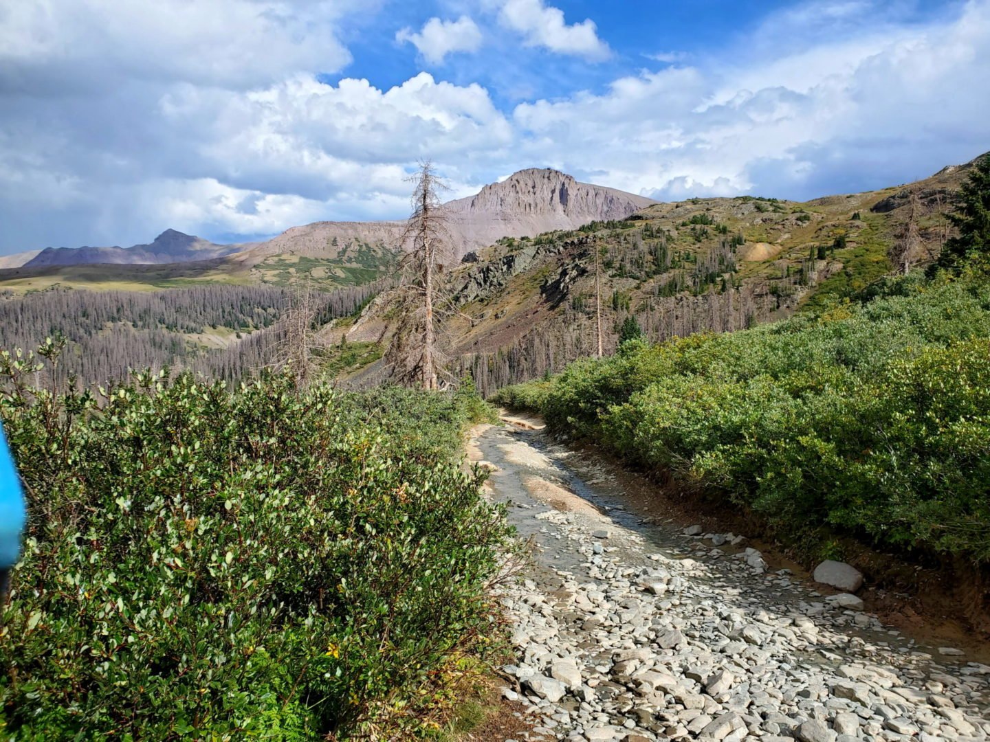
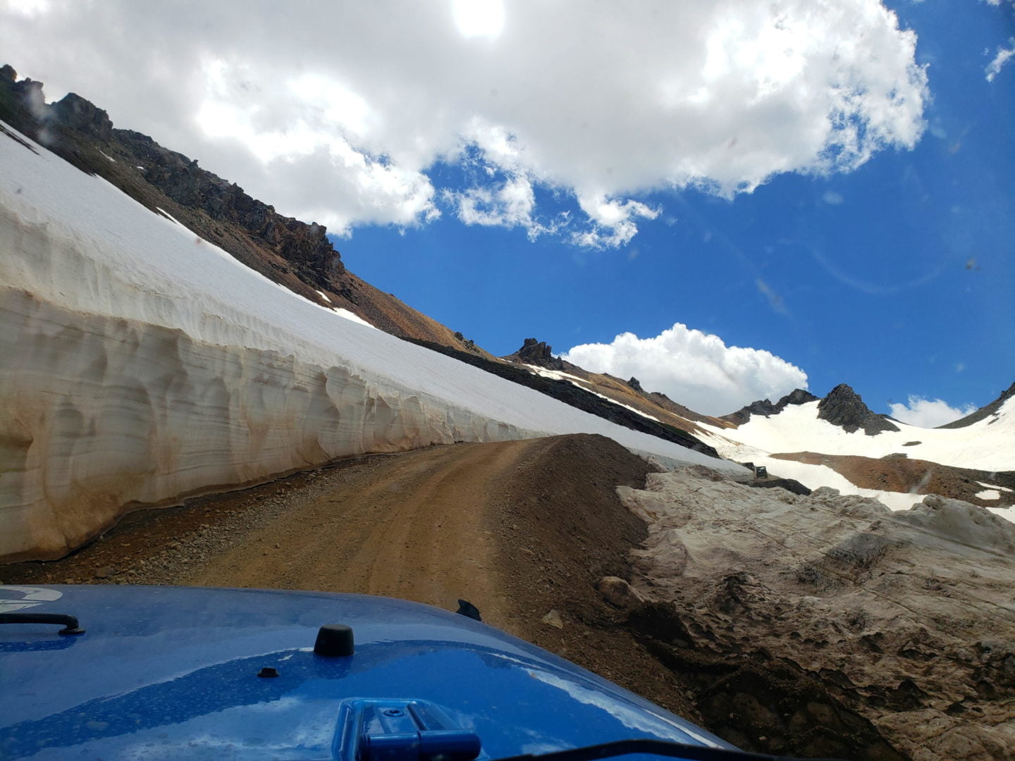
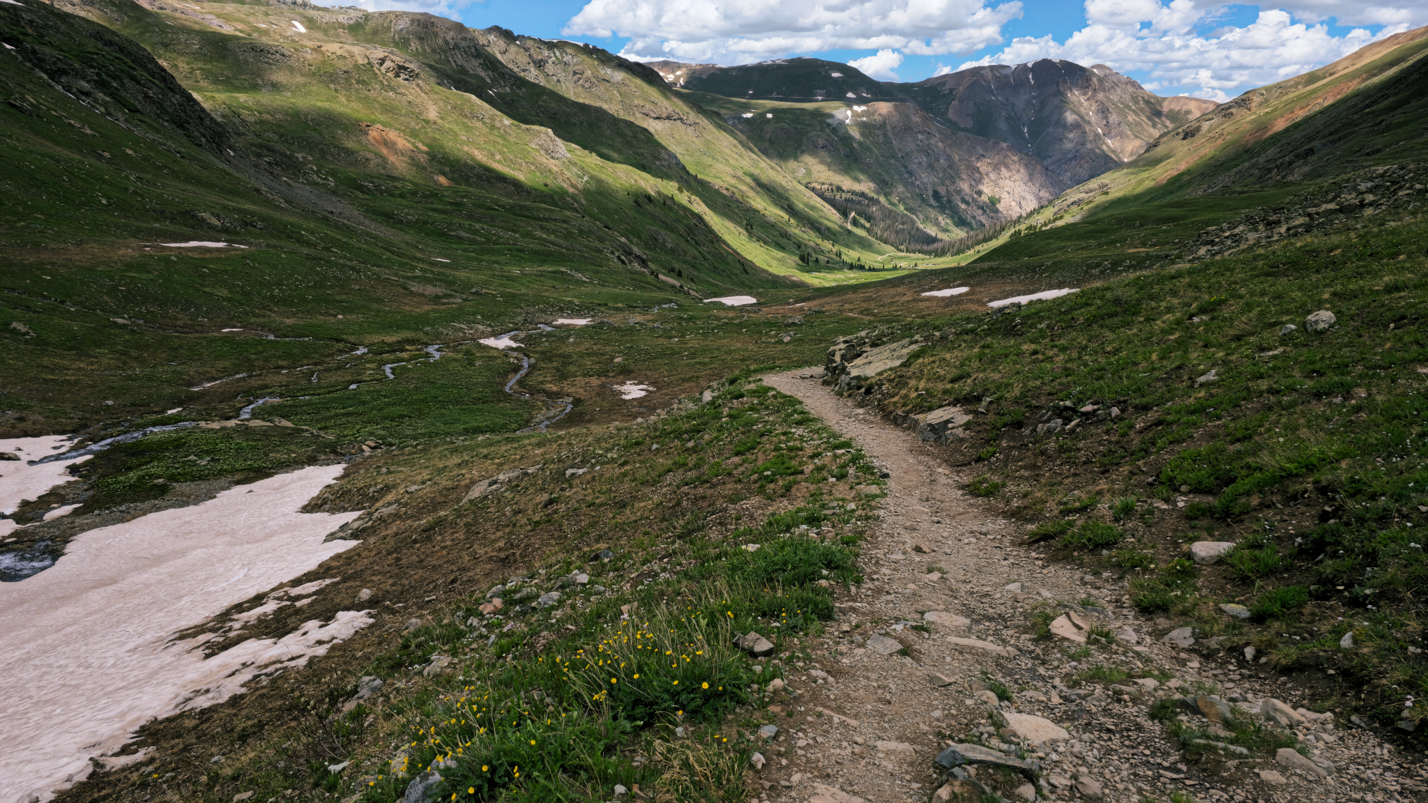
Nearing the trailhead
Nearing the trailhead
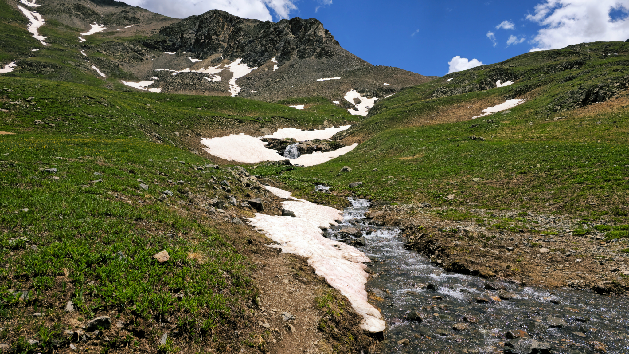
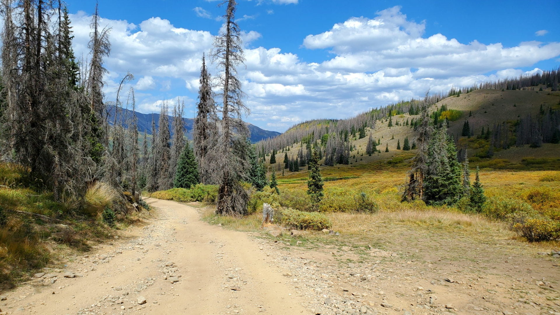
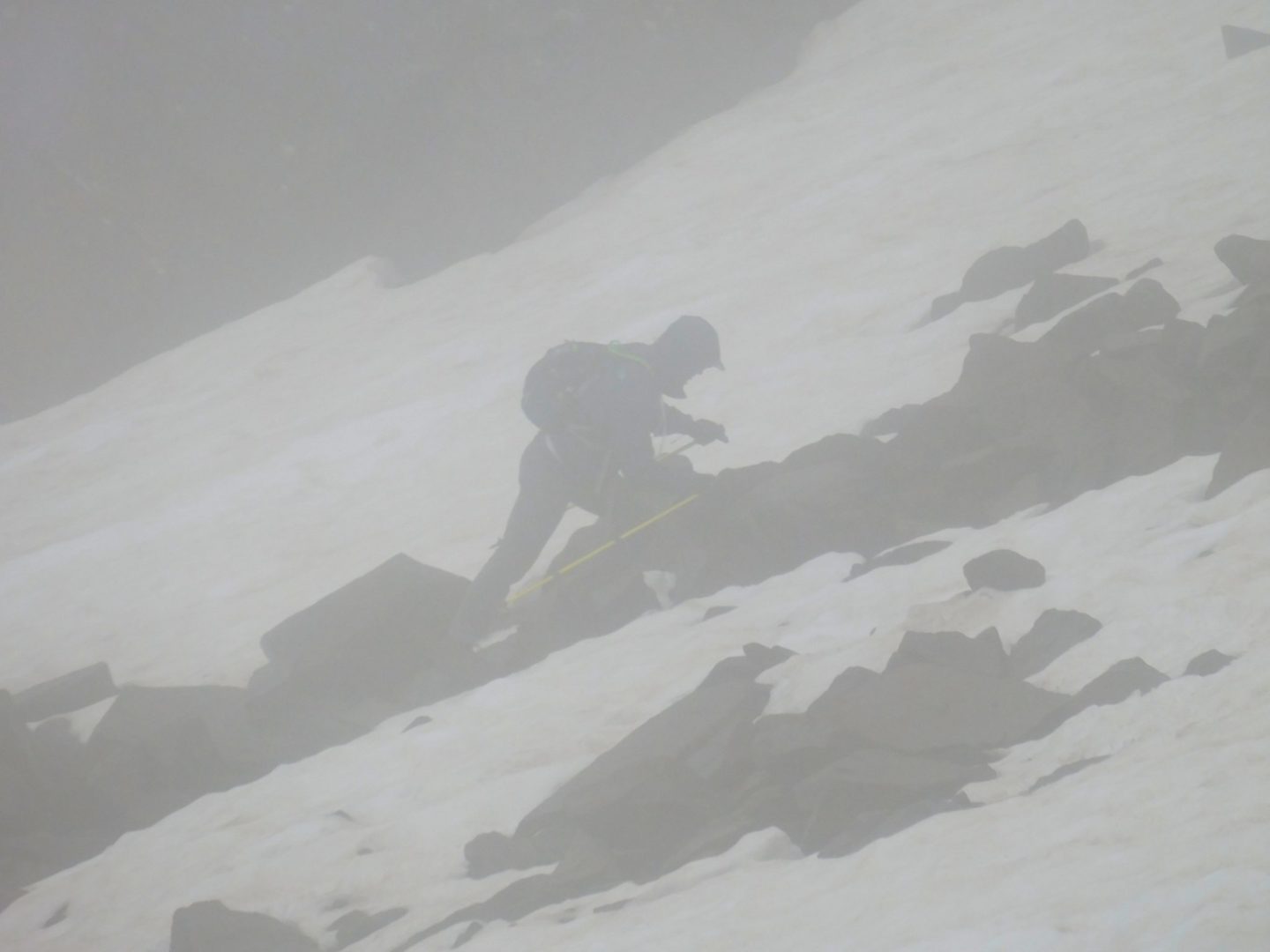
A number of small water crossings along the trail
A number of small water crossings along the trail
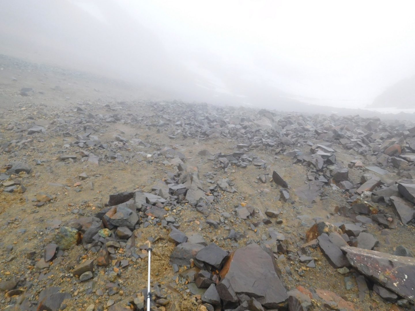
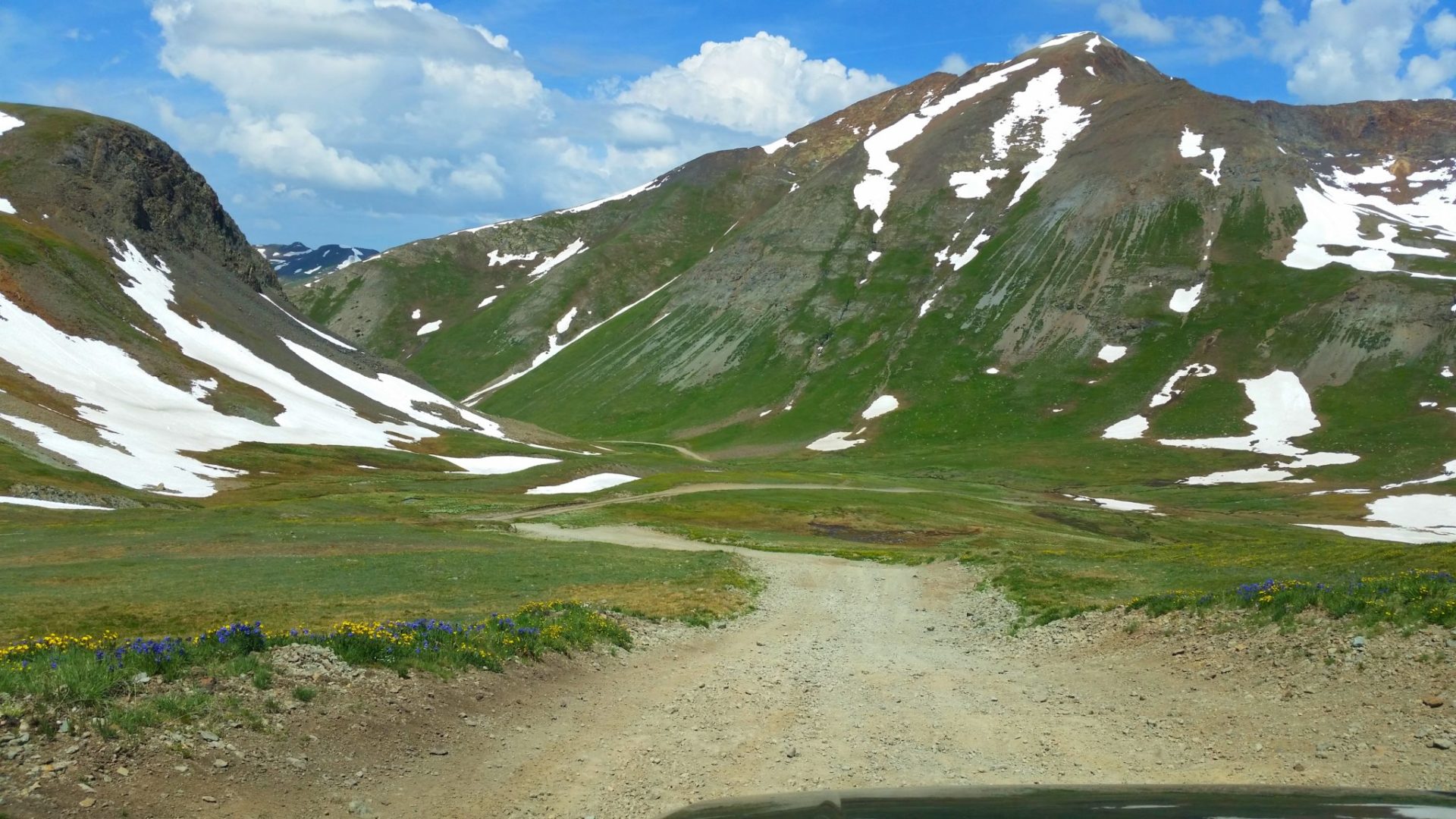
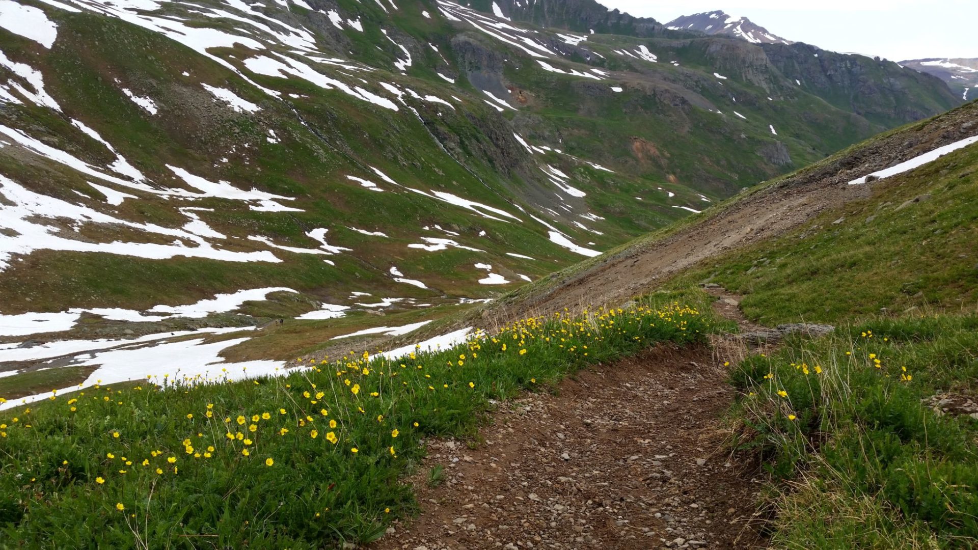
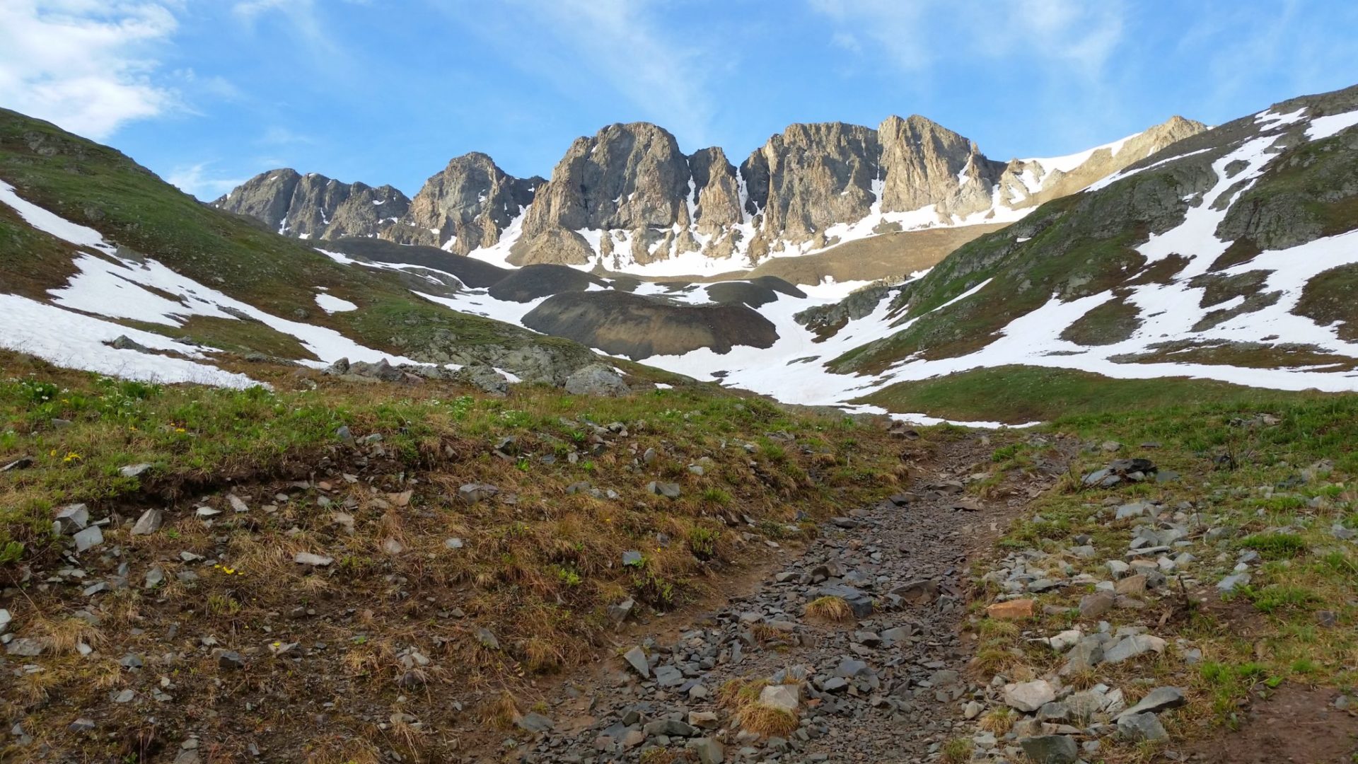
View of American Basin
View of American Basin
GPX with Elevation
Video Tour
Trail Directions
From the trailhead, follow the well maintained trail ascending south and then southeast into the basin. The trail turns left and continues southeast to reach the base of a slope in the middle of the basin. Switchback a couple of hundred feet up the slope to see the east end of the basin. Handies is up to your left (northeast).
Turn right (south) and follow the trail up to Sloan Lake. Turn left at the Sloan Lake Junction and continue east onto a rocky area where much of the remaining route can now be seen. Trek northeast across a talus slope and switchback up the southwest slope to reach the 13,500-foot saddle between Handies Peak and Point 13,588′. Turn left and follow the trail up the ridge to the summit.
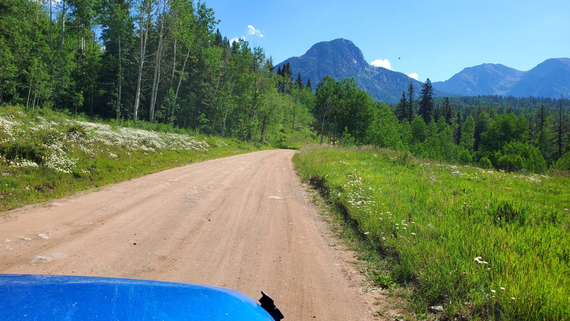
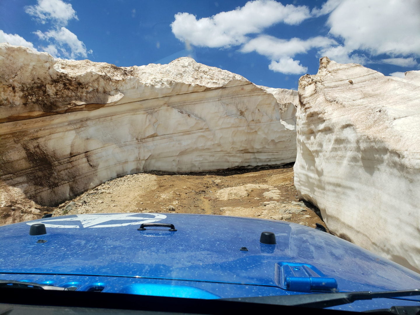
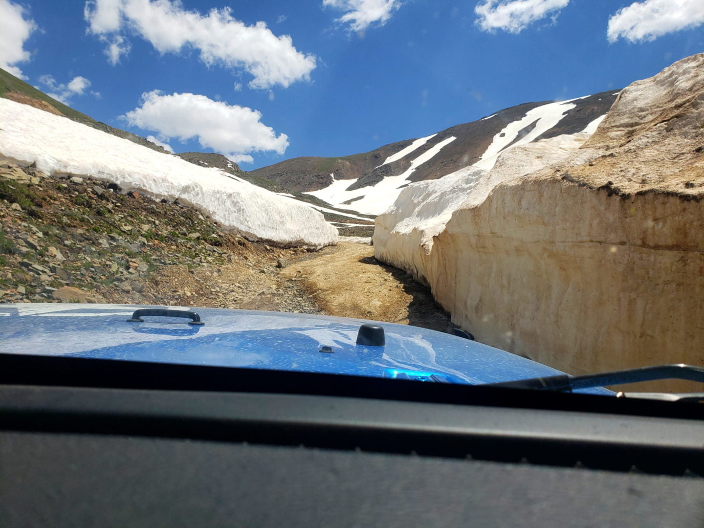
Trailhead Directions