Humboldt Peak (14,068′), Sangre de Cristo Range
Humboldt Peak is part of the Crestones in the rugged Sangre de Cristo mountain range. The Crestones are a cluster of 14,000′ peaks comprising Crestone Peak, Crestone Needle, Kit Carson Peak, Challenger Point, Humboldt Peak, and Columbia Point. Humboldt Peak is the least difficult hike (difficult Class 2). The rest of the Crestone Group is Class 3, 4, and 5 climbing.
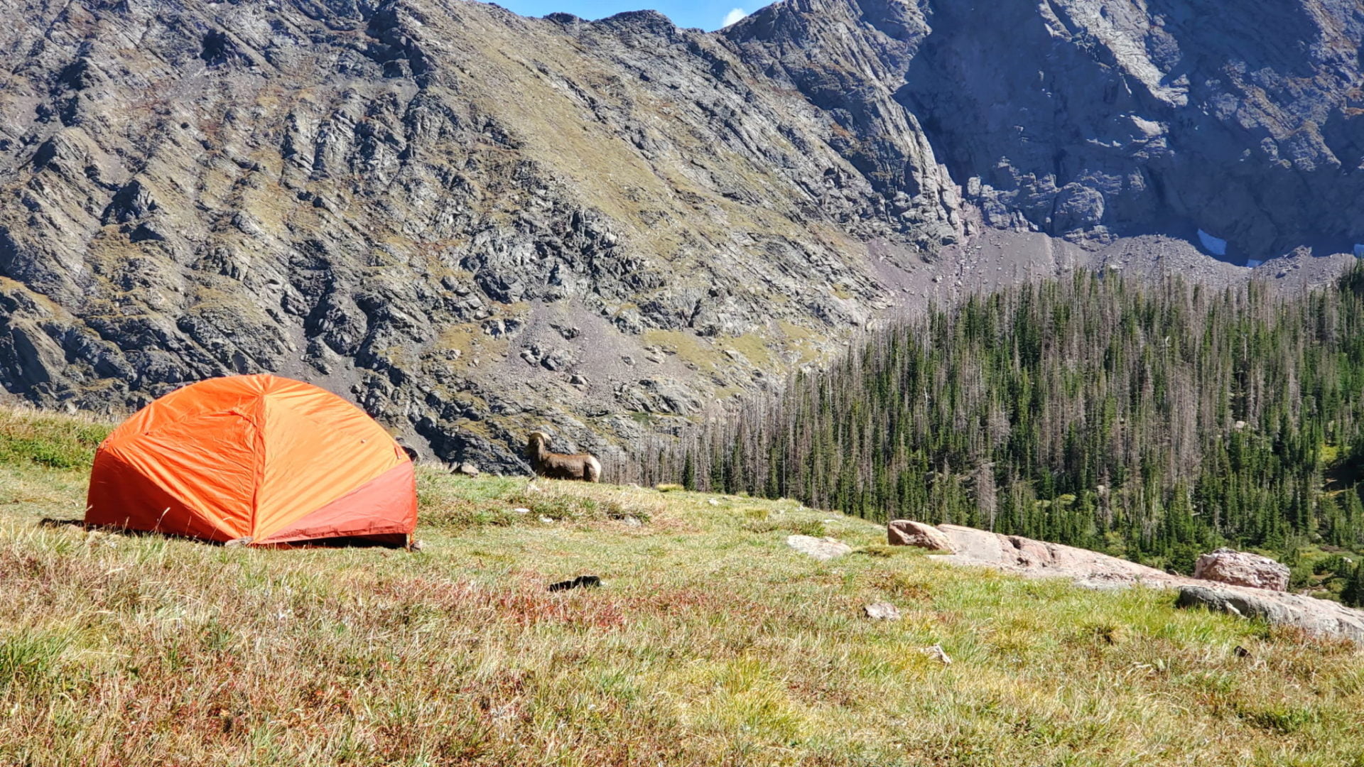
As the trail winds up Humboldt Peak you pass the South Colony Lakes, the most popular back country camping site in the Sangre de Cristo Range.
Trail Stats
- Trailhead: Upper South Colony Lakes
- Round trip: 11 miles / 17.7 km
- Elevation: 9,816′ – 14,068′ / 2,992m – 4,288m
- County: Saguache
- Agency: U.S. Forest Service
- Nat’l Forest: San Isabel
Trail Pictures
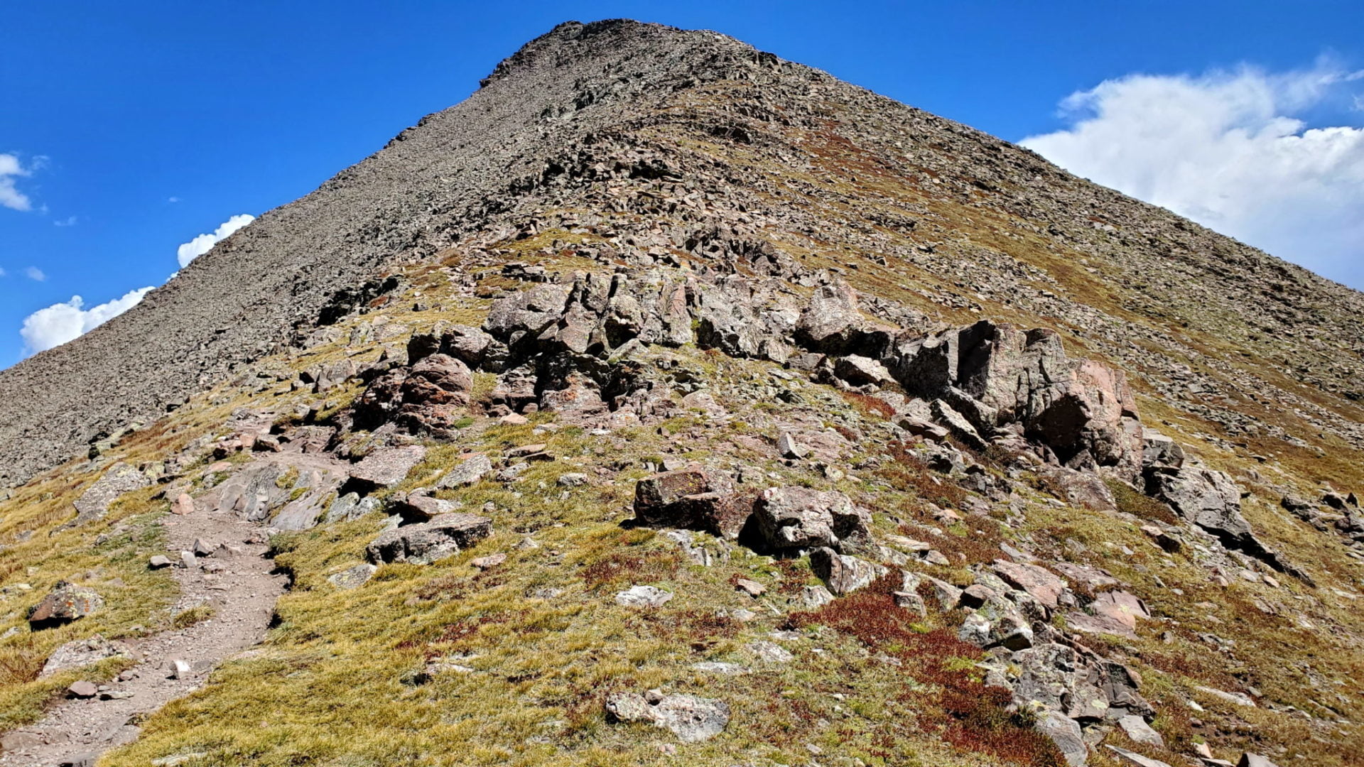
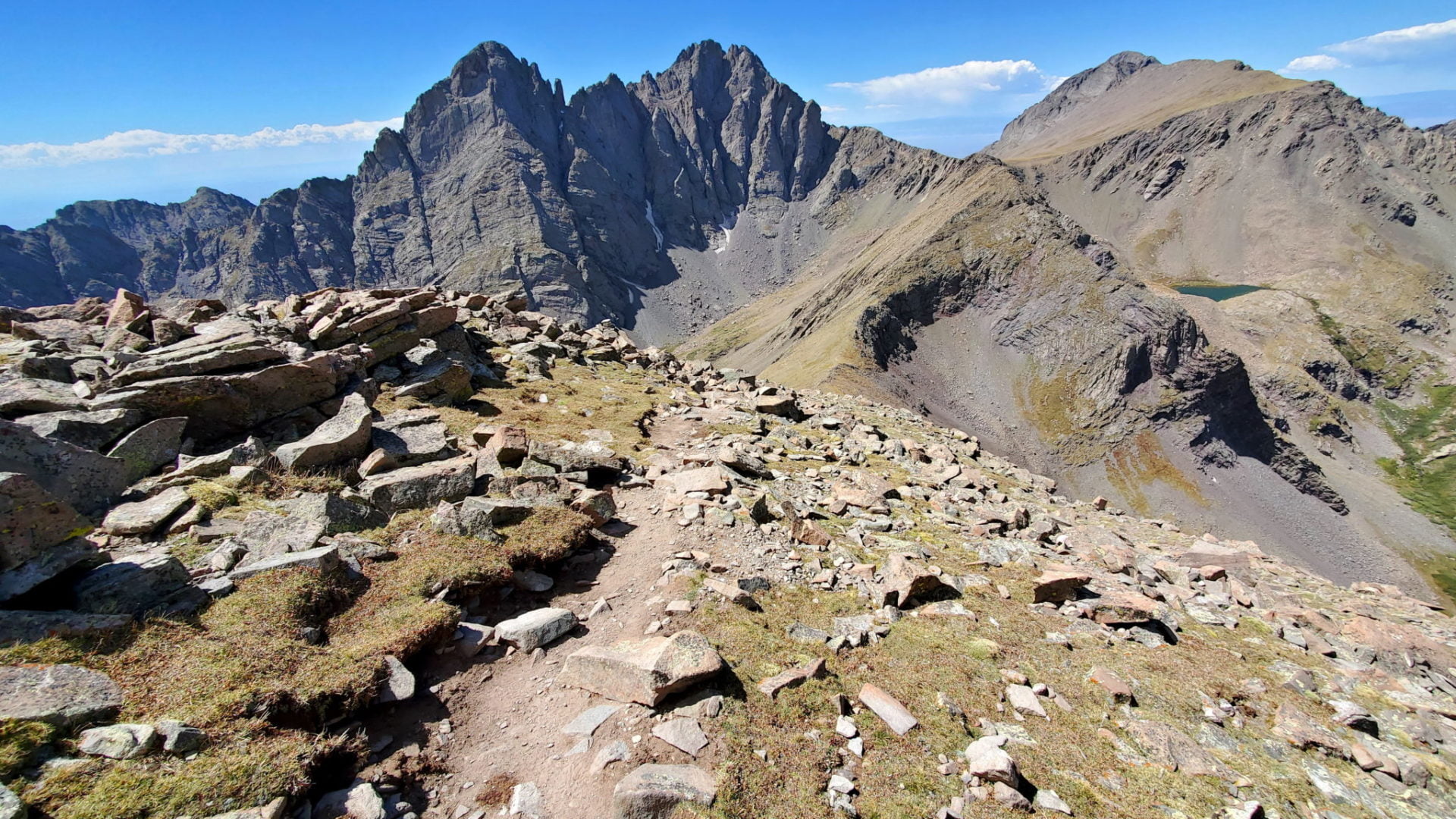
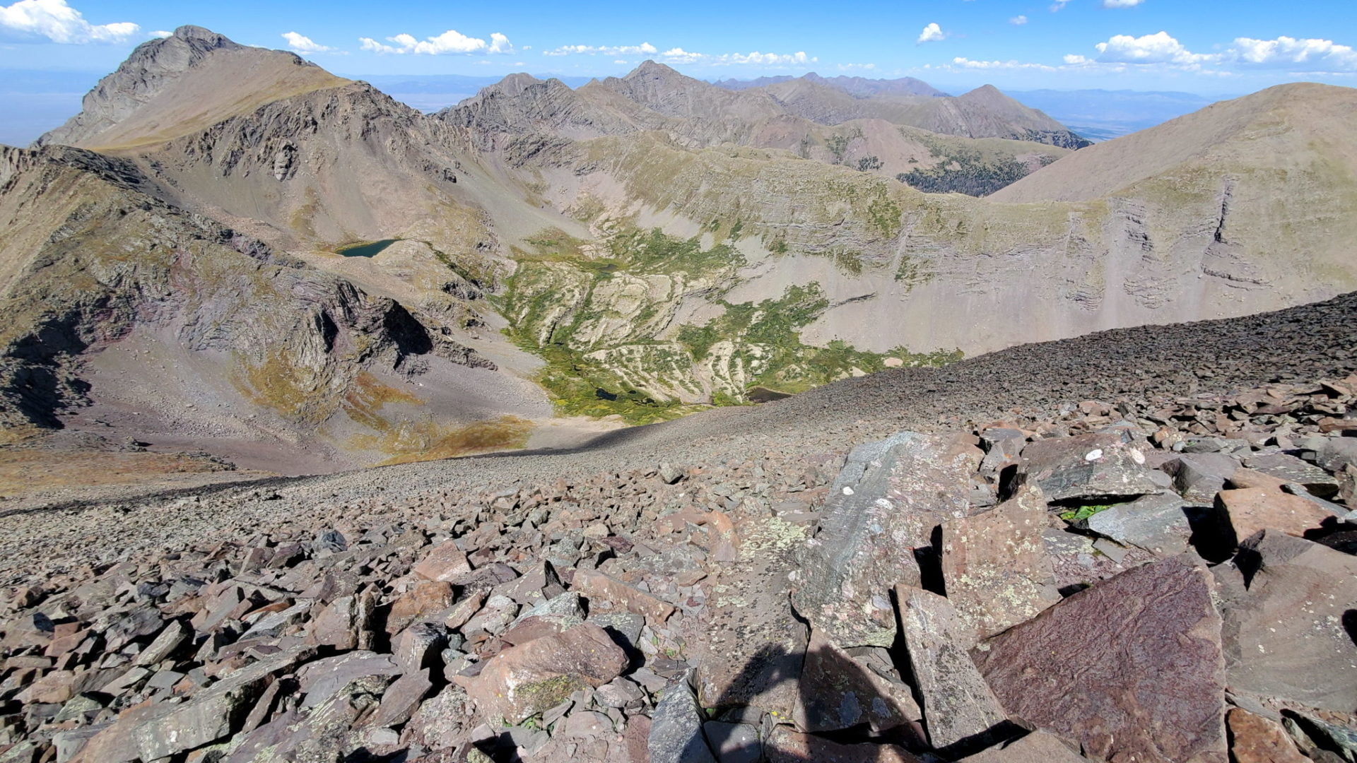
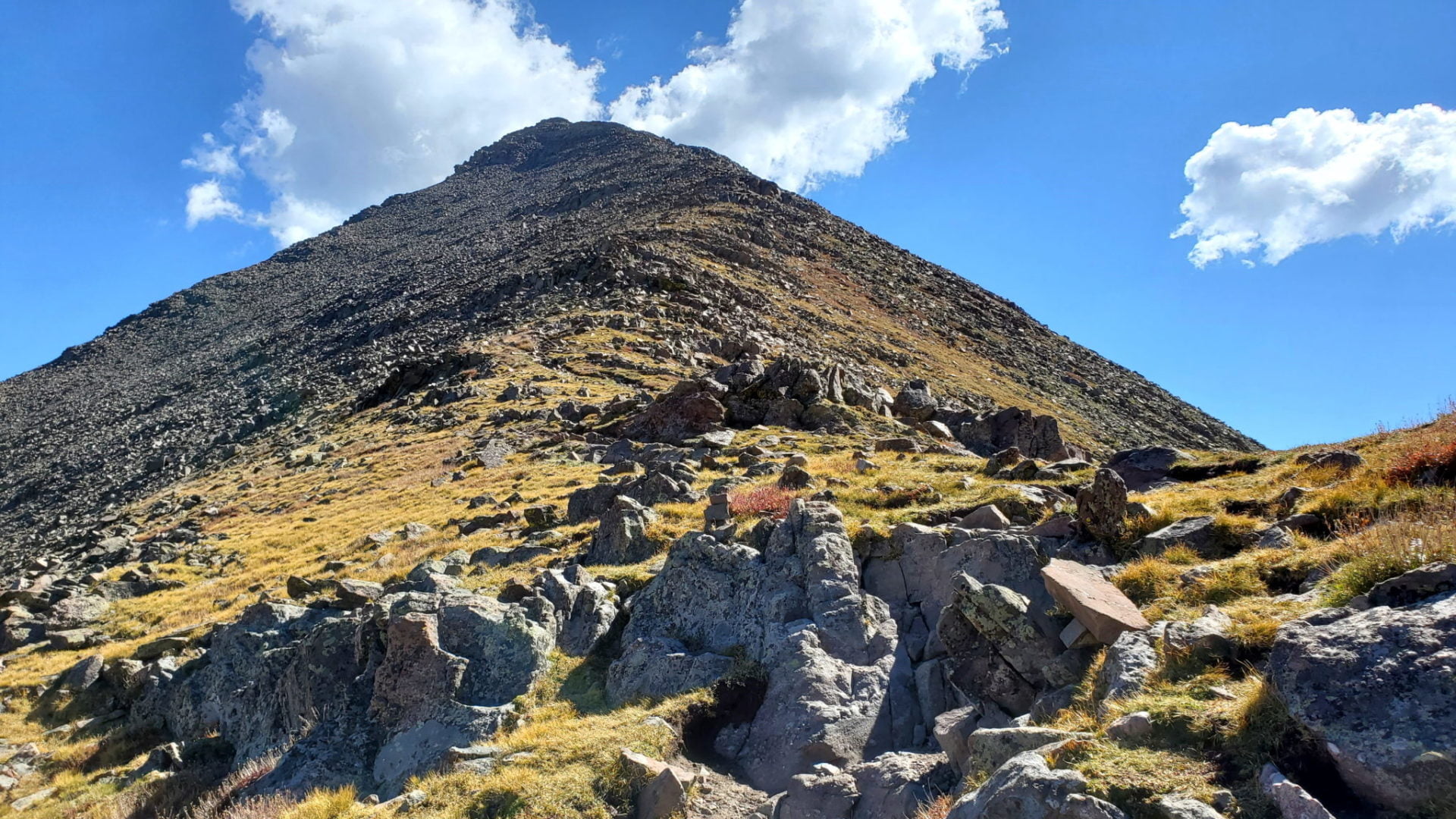
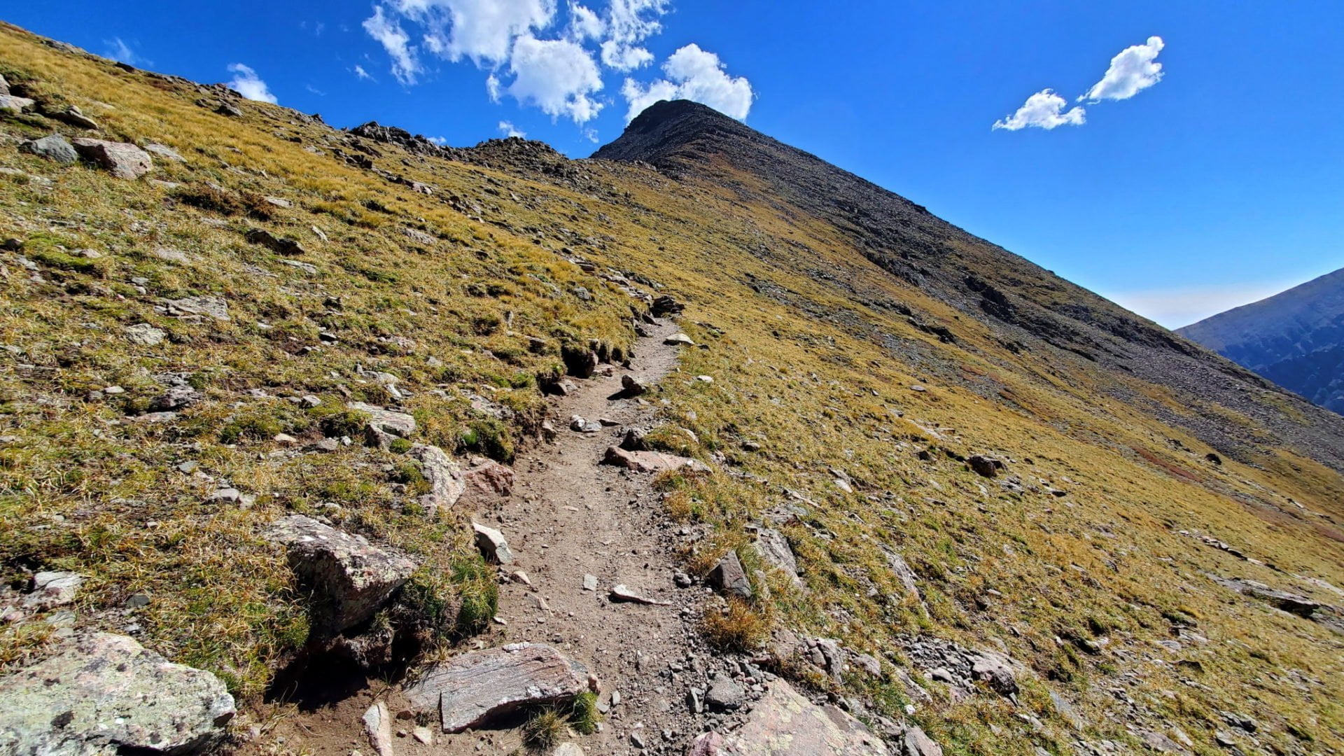
Looking back at the ridge during the scramble to the top
Looking back at the ridge during the scramble to the top
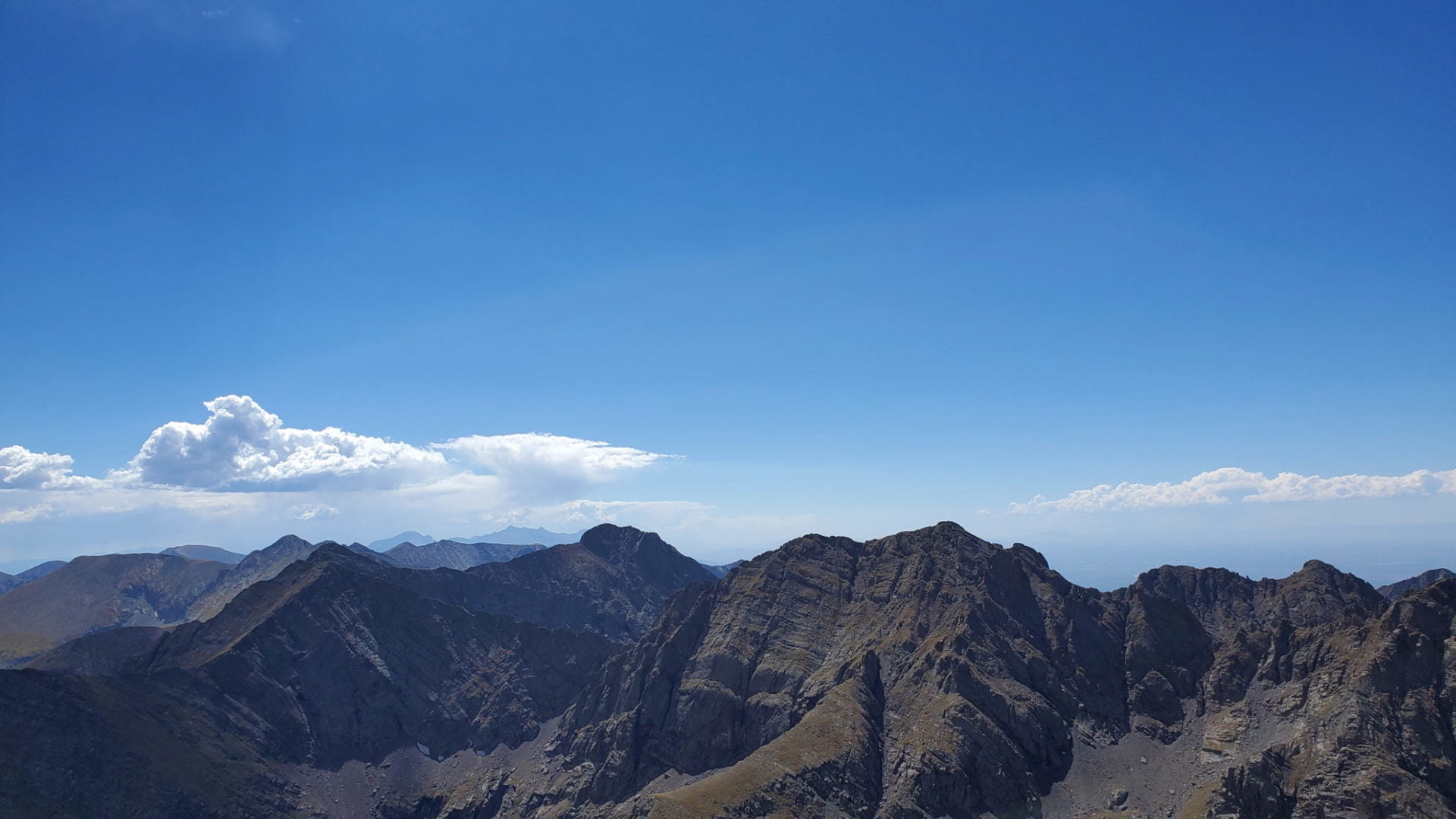
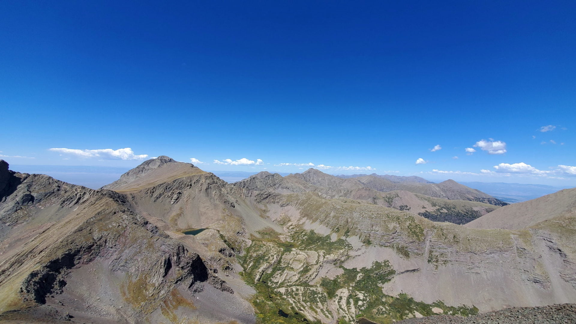
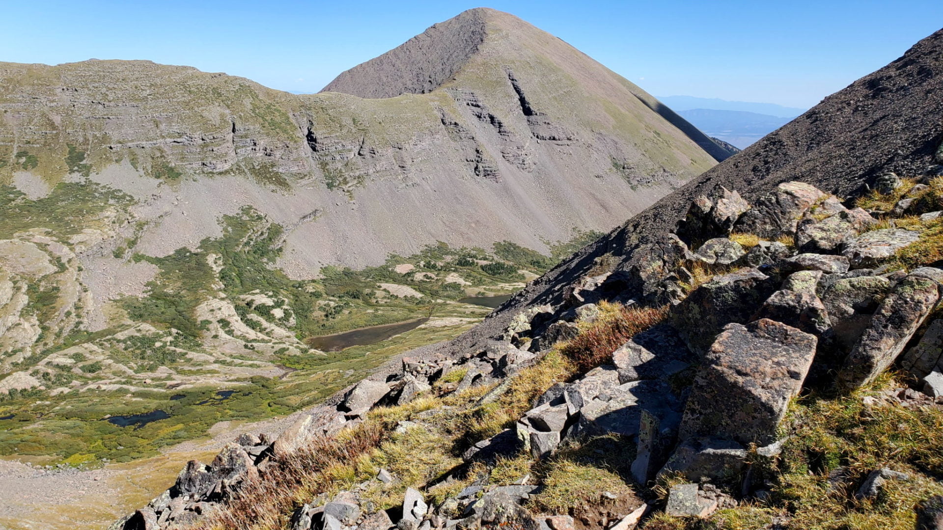
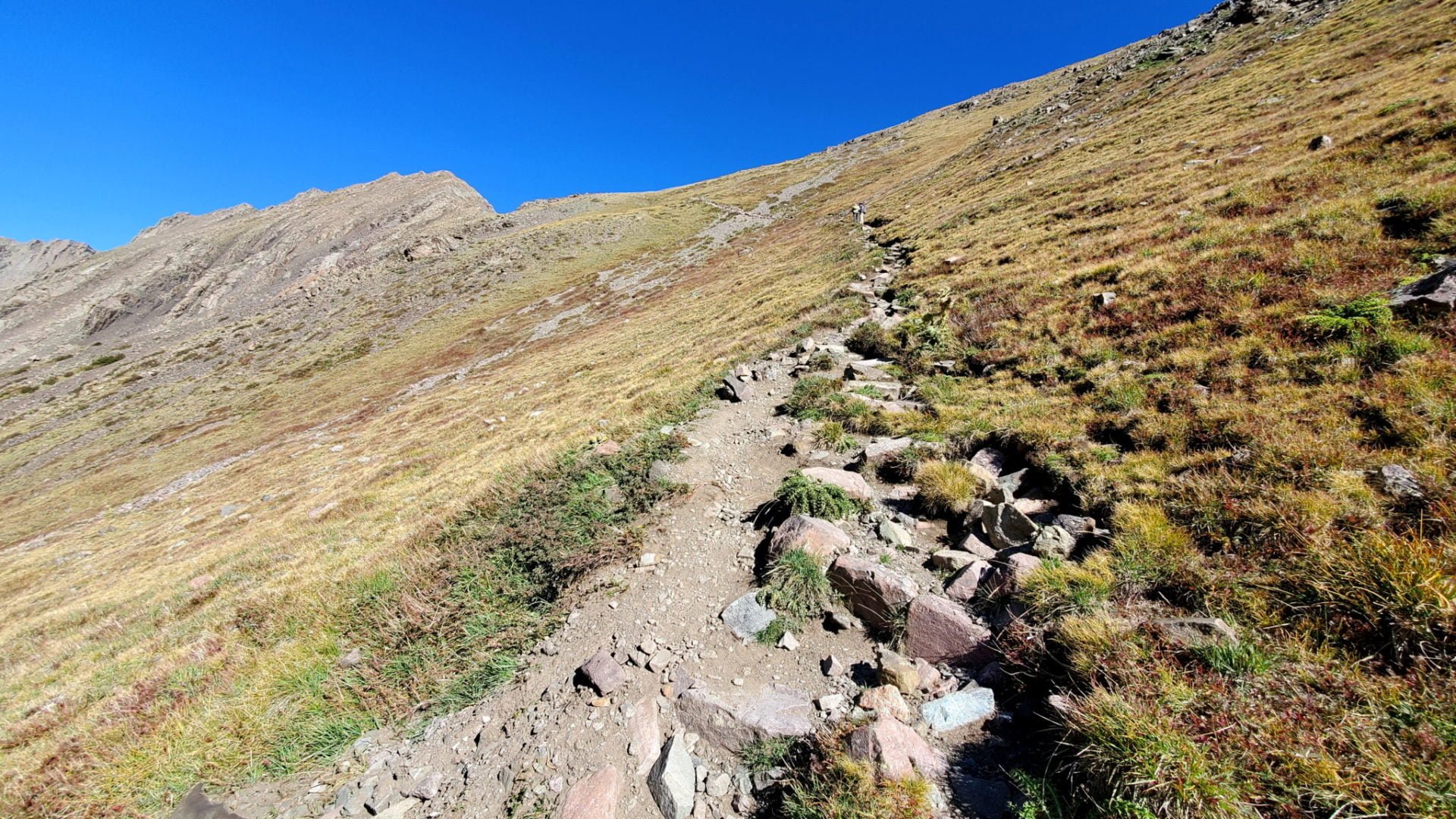
Columbia and Challenger, two 14ers) to the left (near center)
Columbia and Challenger, two 14ers) to the left (near center)
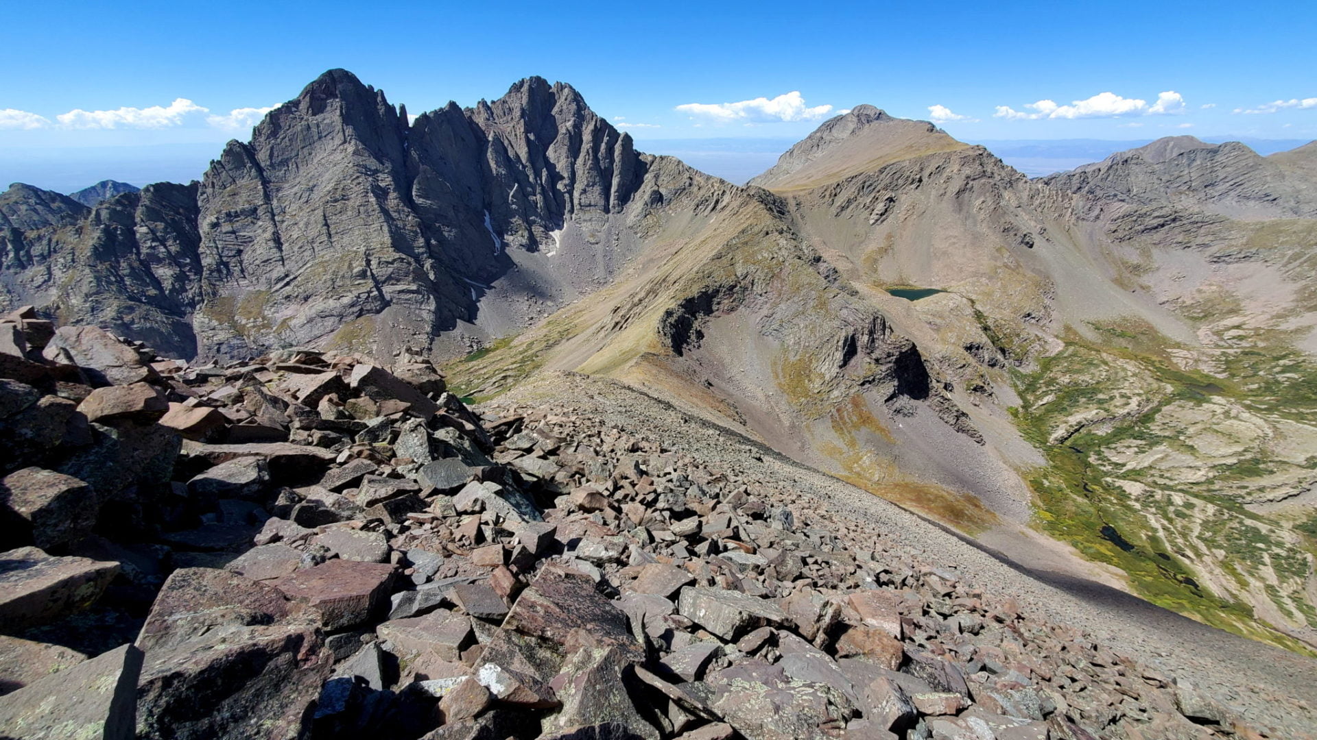
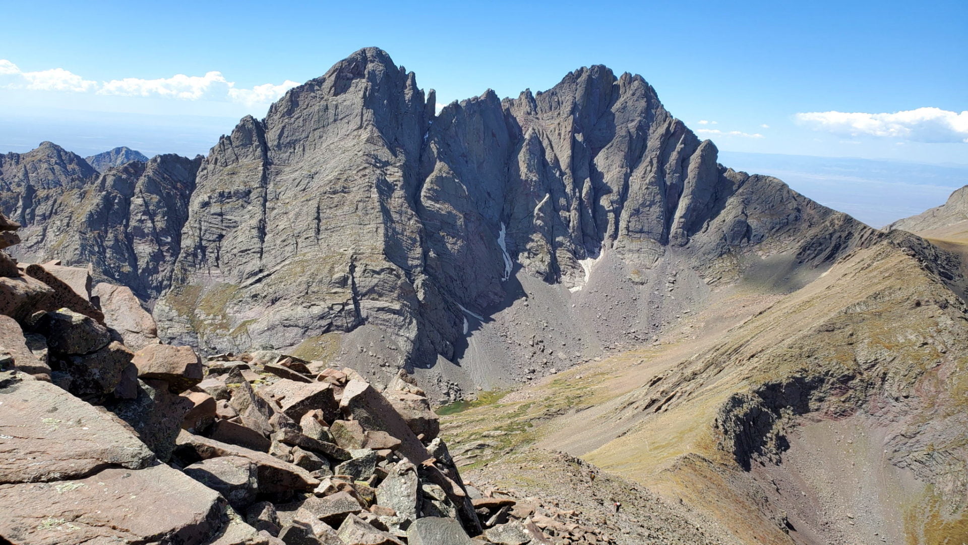
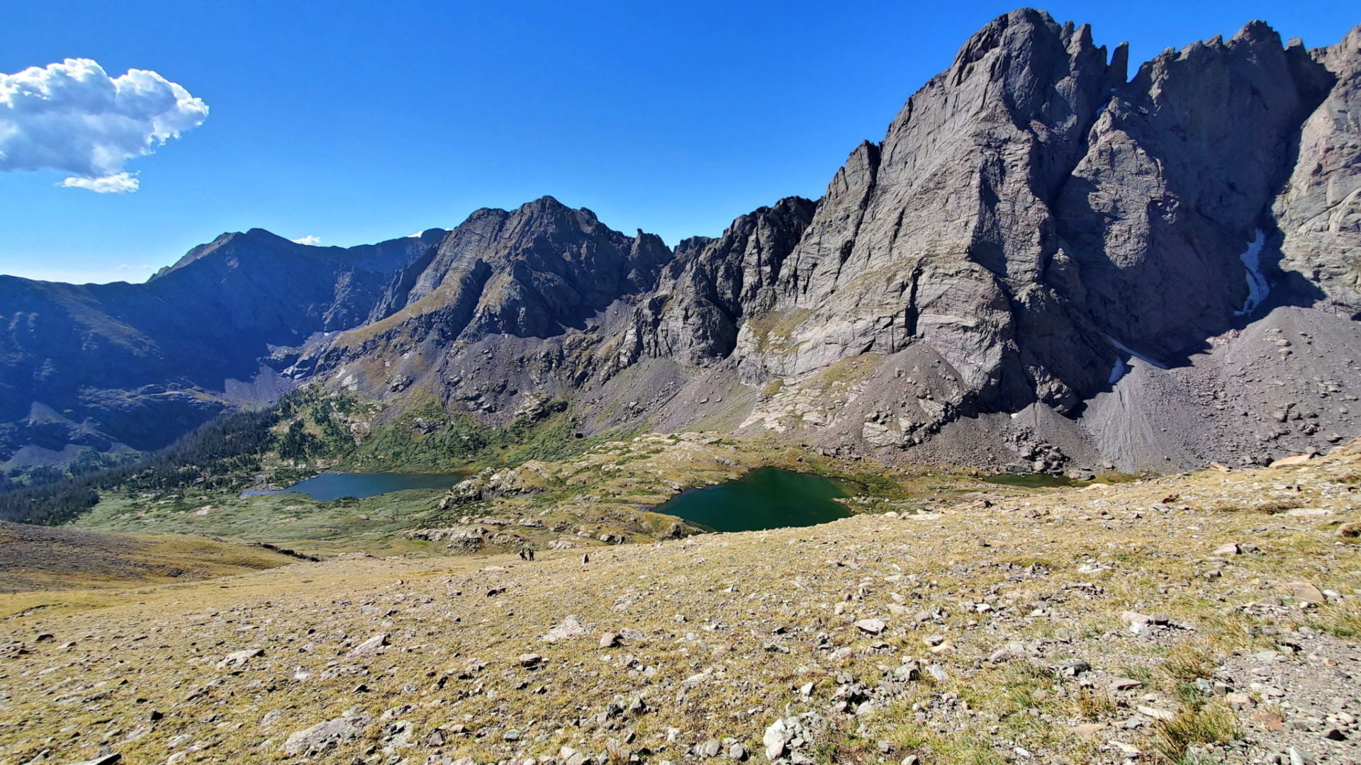
Crestone Needle (left) and Crestone Peak (right), two more 14ers
Crestone Needle (left) and Crestone Peak (right), two more 14ers
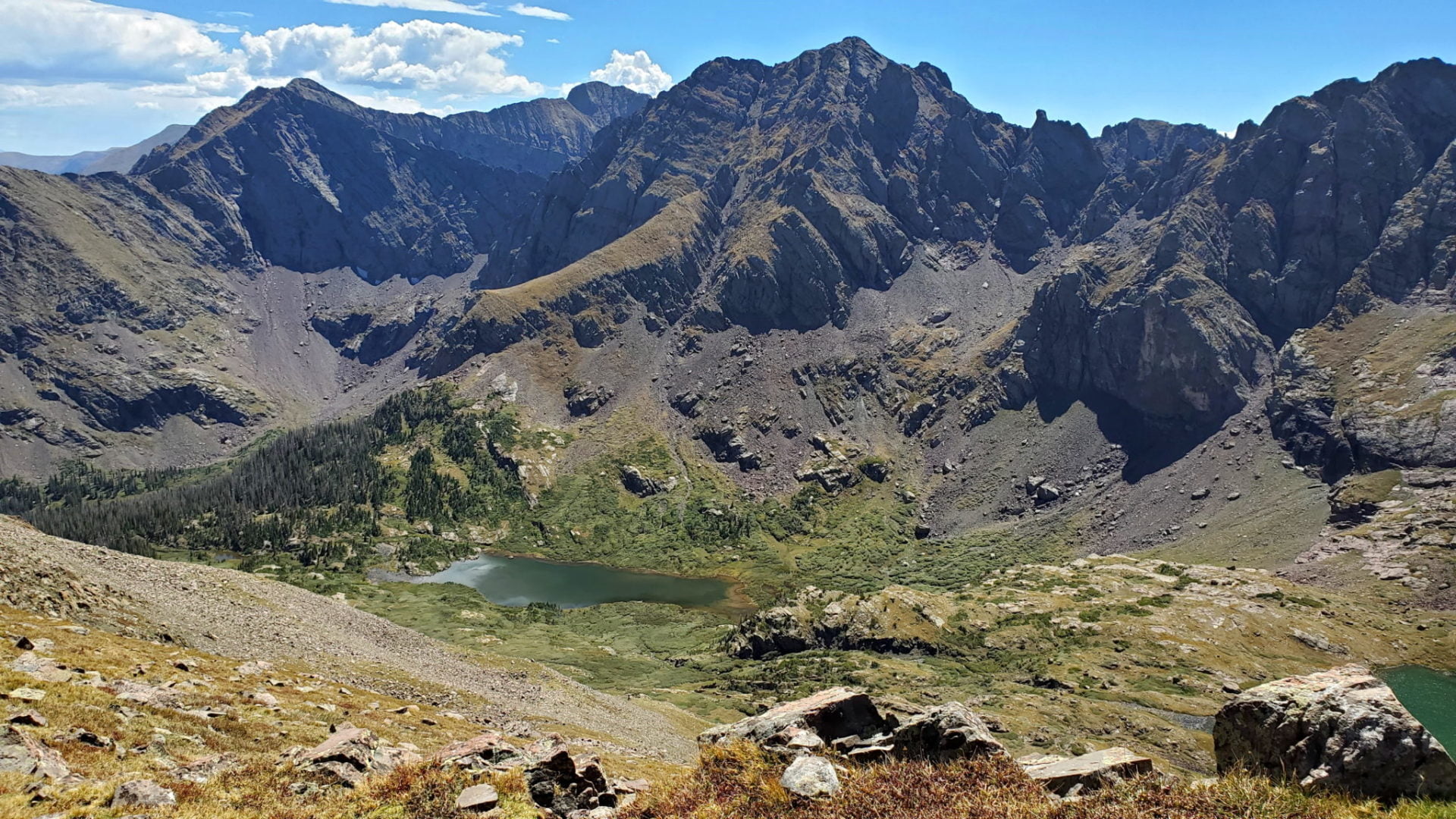
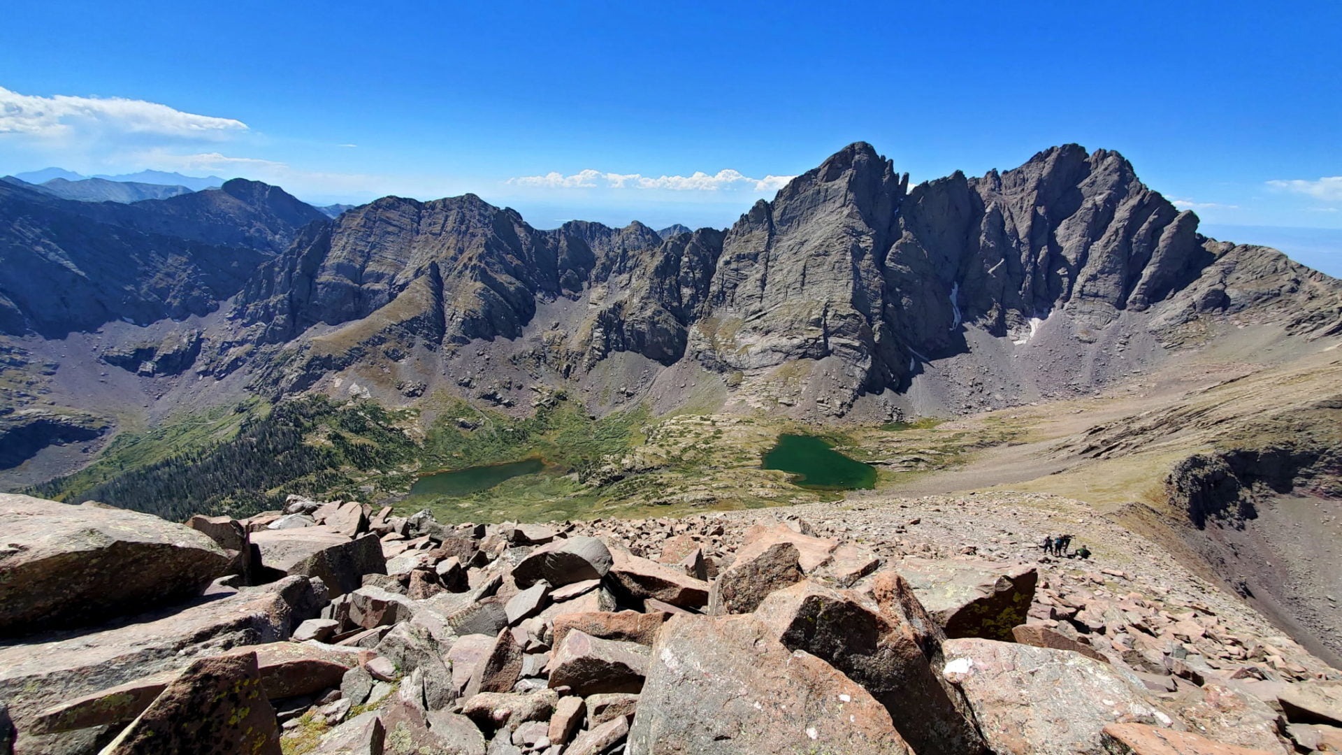
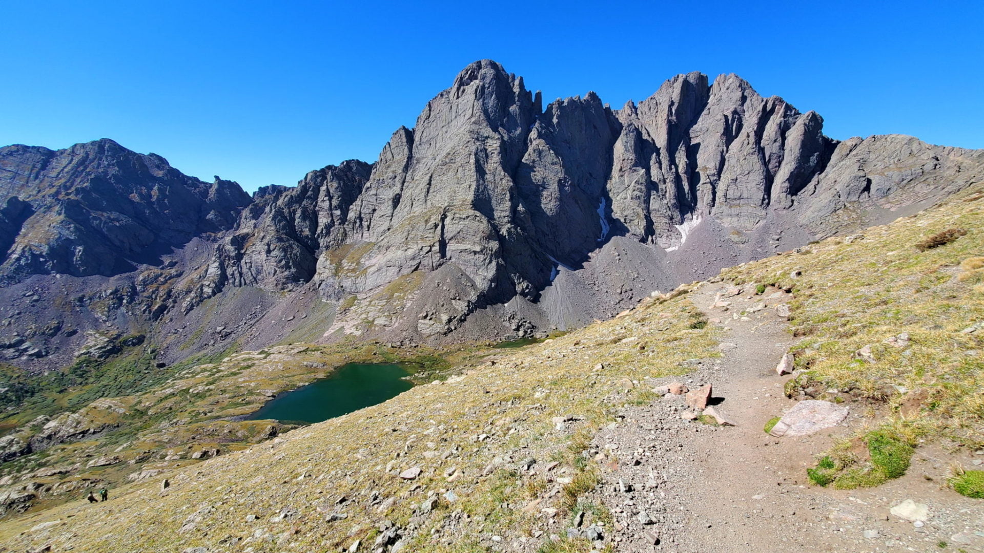
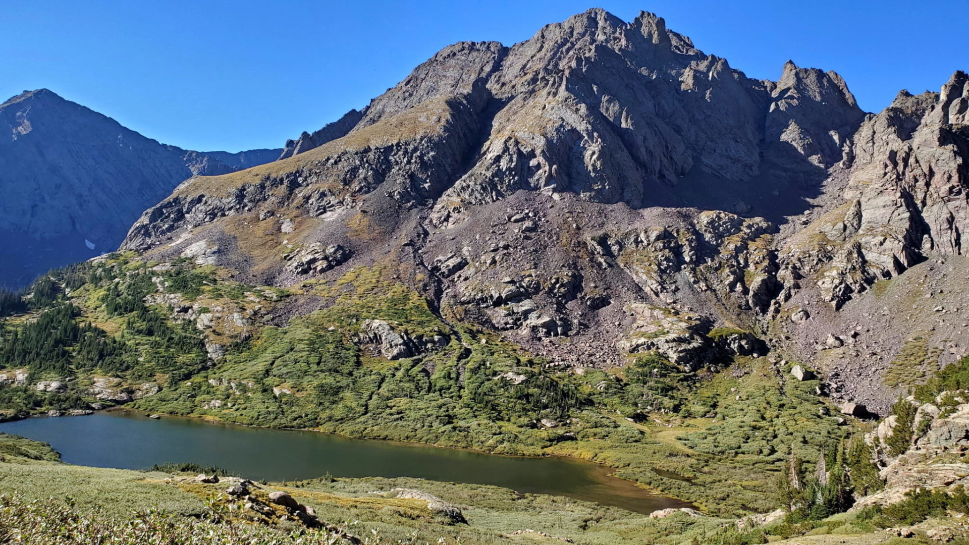
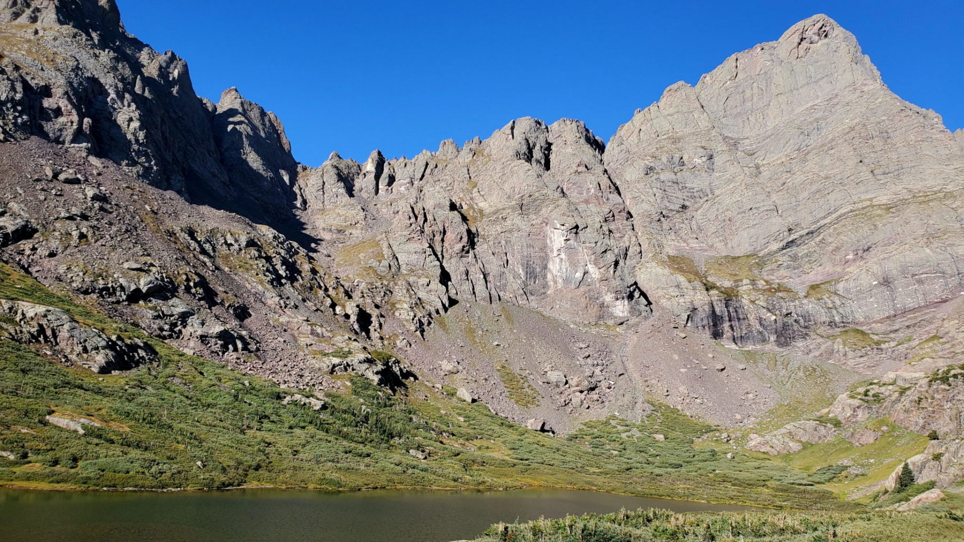
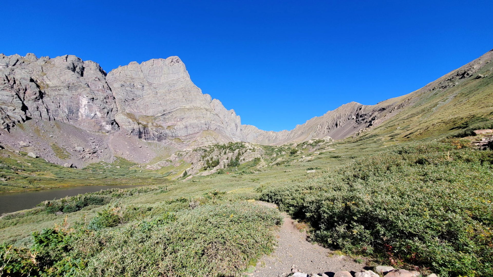
The trail travels near the upper South Colony Lake
The trail travels near the upper South Colony Lake
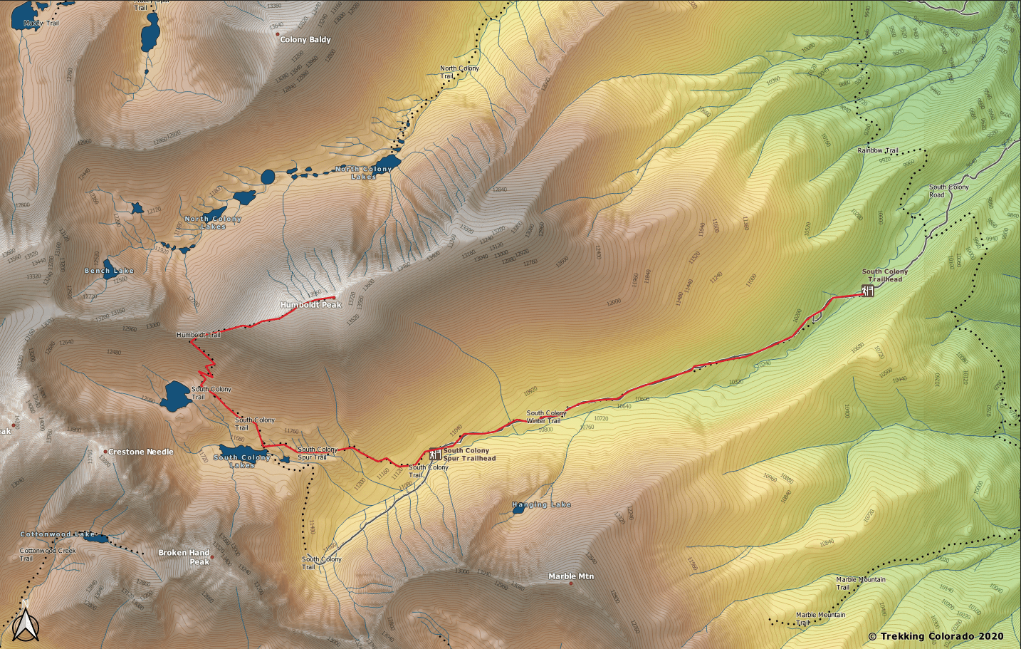
GPS Route with Elevation
Video Tour
Trail Directions
The trail climbs the peak from the South Colony Lakes basin, accessed from the east side of the range. This basin is a popular site that is also the base for most climbs of Crestone Peak and Crestone Needle. You start the hike on a very rugged four-wheel drive road that was closed in 2009 as it follows the South Colony drainage.
Once near the lakes there will be Forest Service signs providing information on the area. Going NW (Humboldt Peak cutoff trail) at the junction, takes you to the Upper South Colony Lake.
The trail climbs steeply to the ridge from the upper lake. Once on the ridge stay to the center for the safest scramble to the summit. The northern side is treacherous with a steep drop for most of the remaining route.
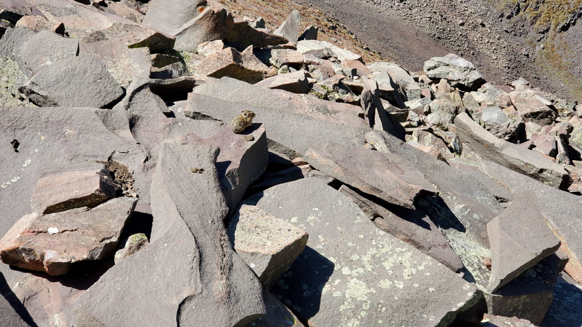
Once on the false summit, head to the northeast to the true summit along large talus.
Trailhead Directions

