Stony Pass (12,592′), San Juan Range
Stony Pass Rd crosses the Continental Divide and follows small streams that make up the headwaters of the Rio Grande River. The road was created in 1872 to connect the area’s mining operations in Silverton to the town of Del Norte. The Continental Divide Trail crosses the road at Hunchback Pass (12,493′) on it’s way from Mexico to Canada.
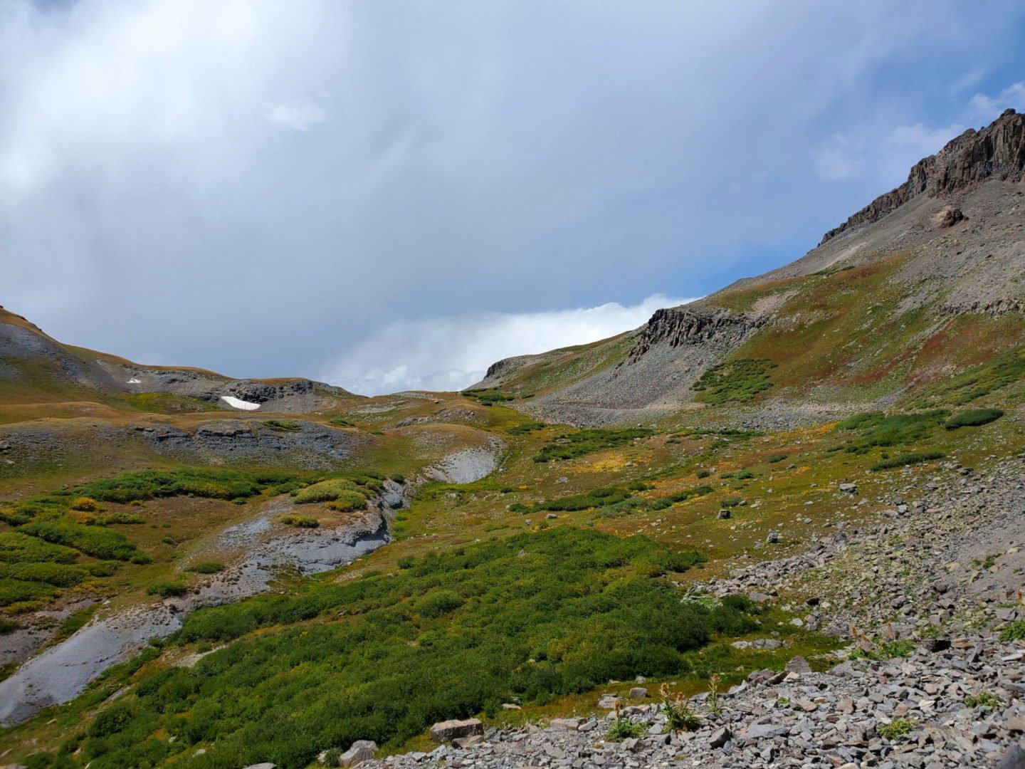
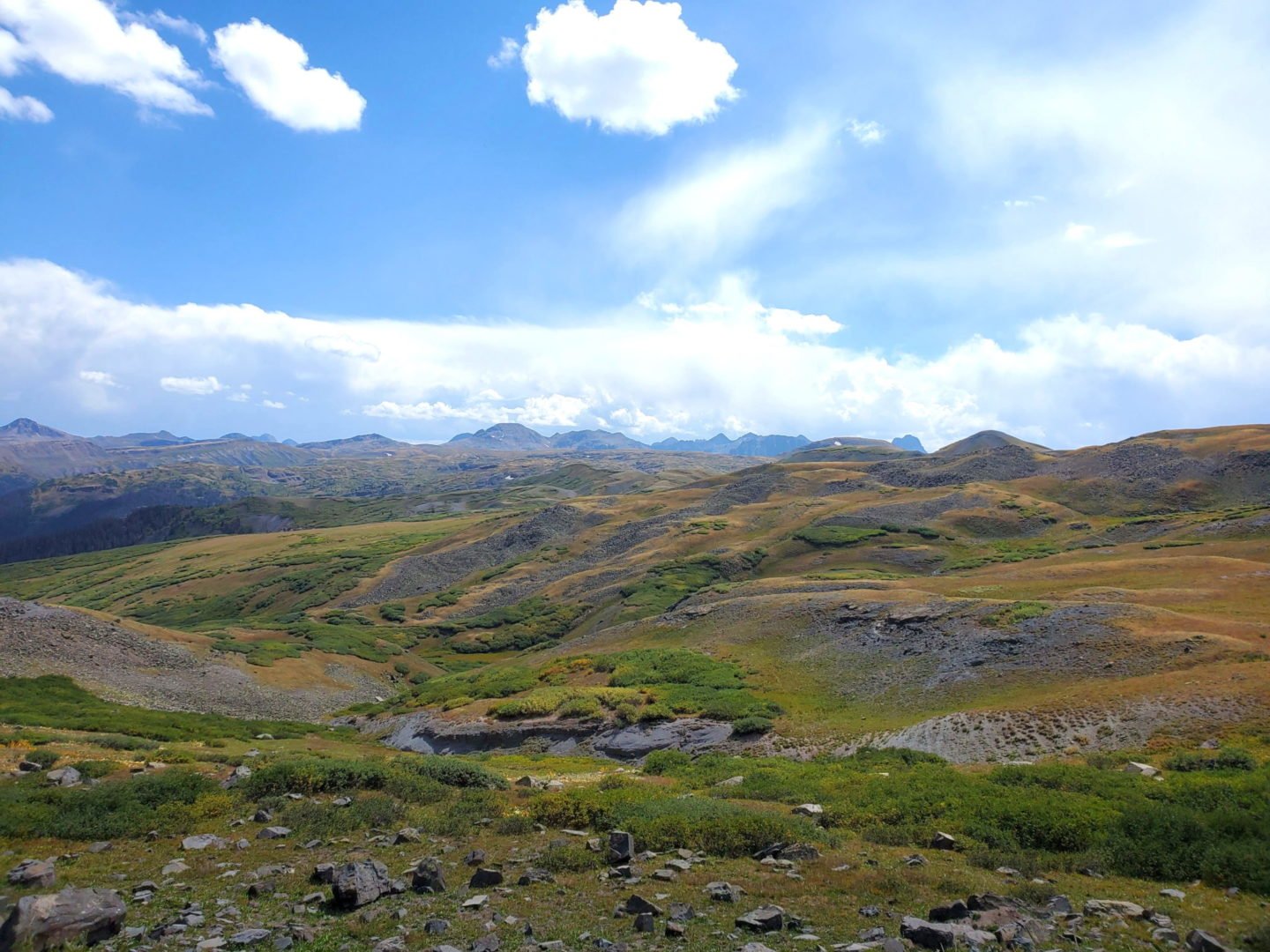
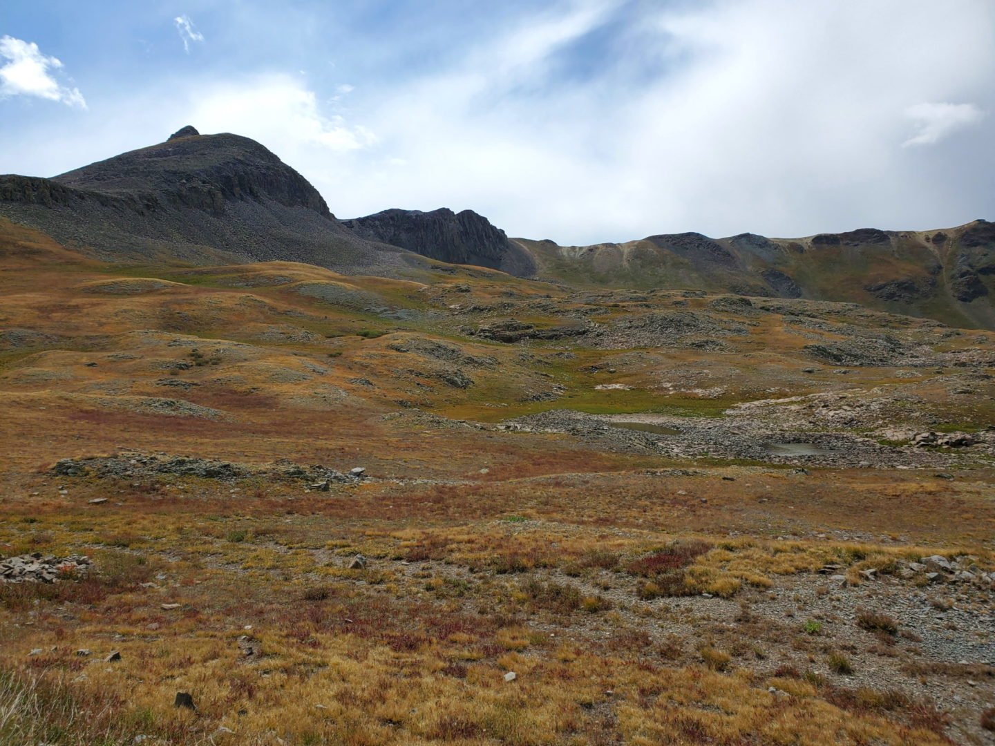
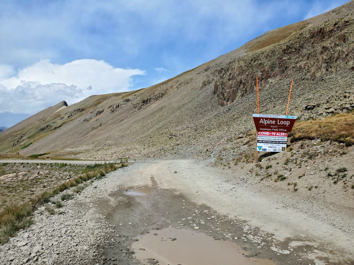
The San Juan Range is home to world class outdoor recreation. The Alpine Loop, American Basin, California & Hurricane Pass, and Mt Sneffels are a few examples of the natural beauty of the area.
Trail Stats
- Rating: Silverton to Stony Pass – Easy
- Stony Pass to Kite Lake – Difficult
- Road: County Road 3 (Forest Rd 520)
- Round trip: 34 miles / 54 km to Kite Lake and back
- Elevation: 10,000′ – 12,592′ / 3,048 m – 3,808 m
- County: San Juan
- Agency: U.S. Forest Service
- National Wilderness: Weminuche

Trail Pictures

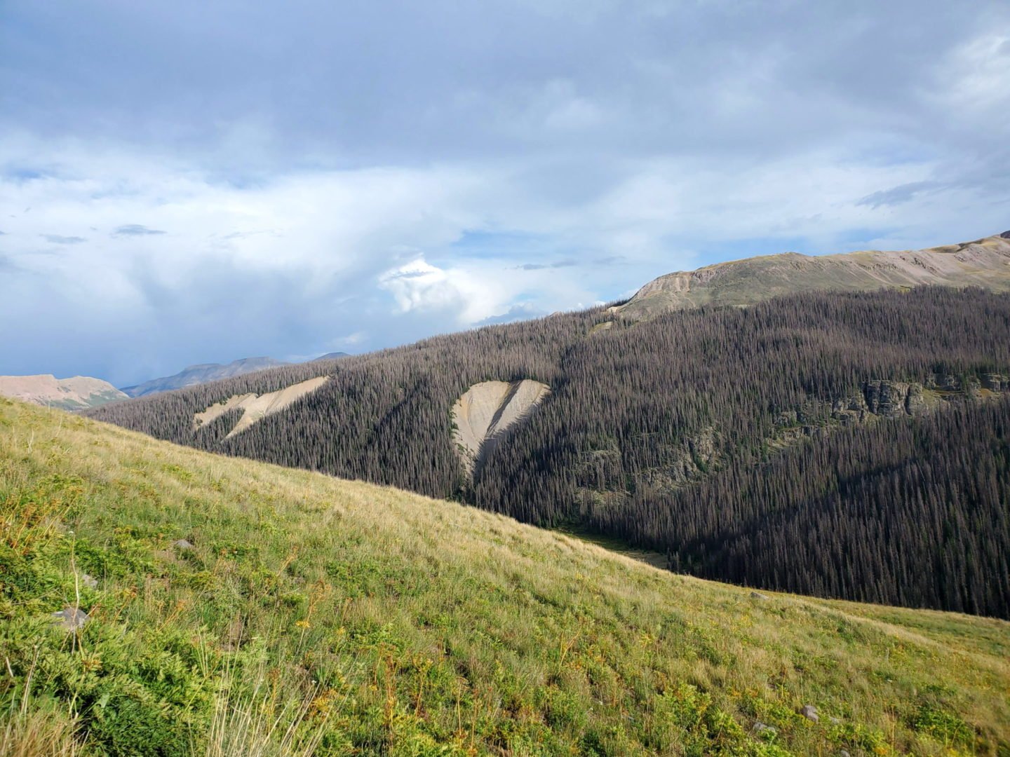
View back into valley (Silverton area)
View back into valley (Silverton area)
I “heart” the San Juans
I “heart” the San Juans
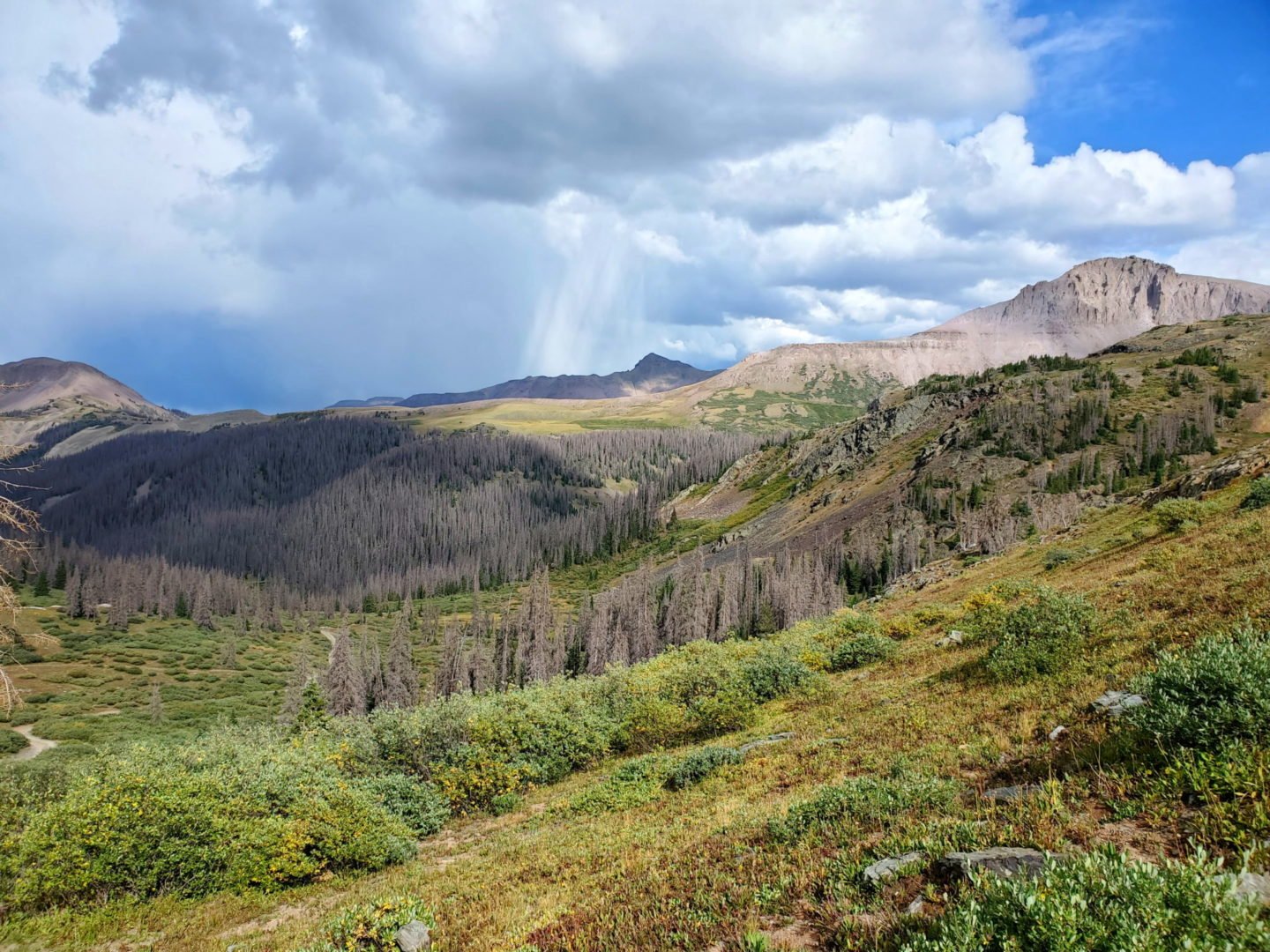
Looking west at the road as it follows Bear Creek
Looking west at the road as it follows Bear Creek
Near Beartown Trailhead (CDT)
Near Beartown Trailhead (CDT)
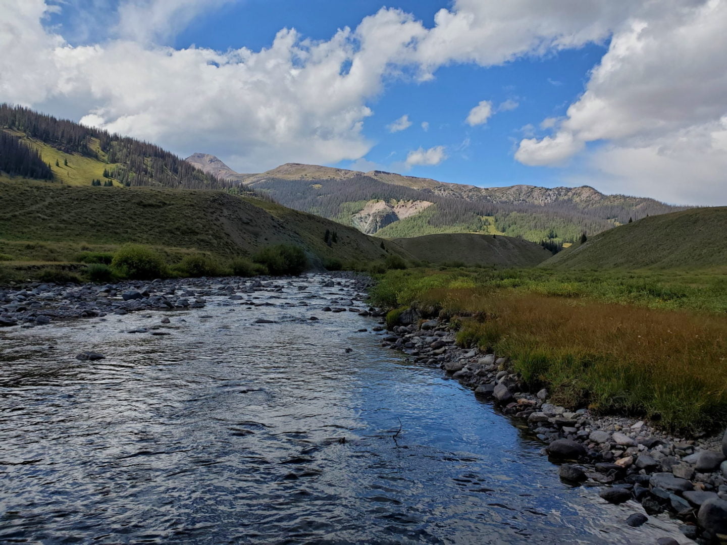
Crossing the Rio Grande River headwaters
Crossing the Rio Grande River headwaters

Near Stony Pass summit
Near Stony Pass summit
The summit of the pass ahead
The summit of the pass ahead
View east from the pass
View east from the pass
Nearing the summit from the west
Nearing the summit from the west

Summit of the pass looking east
Summit of the pass looking east
Looking west from the summit of the pass
Looking west from the summit of the pass

The road up the west side of the pass
The road up the west side of the pass

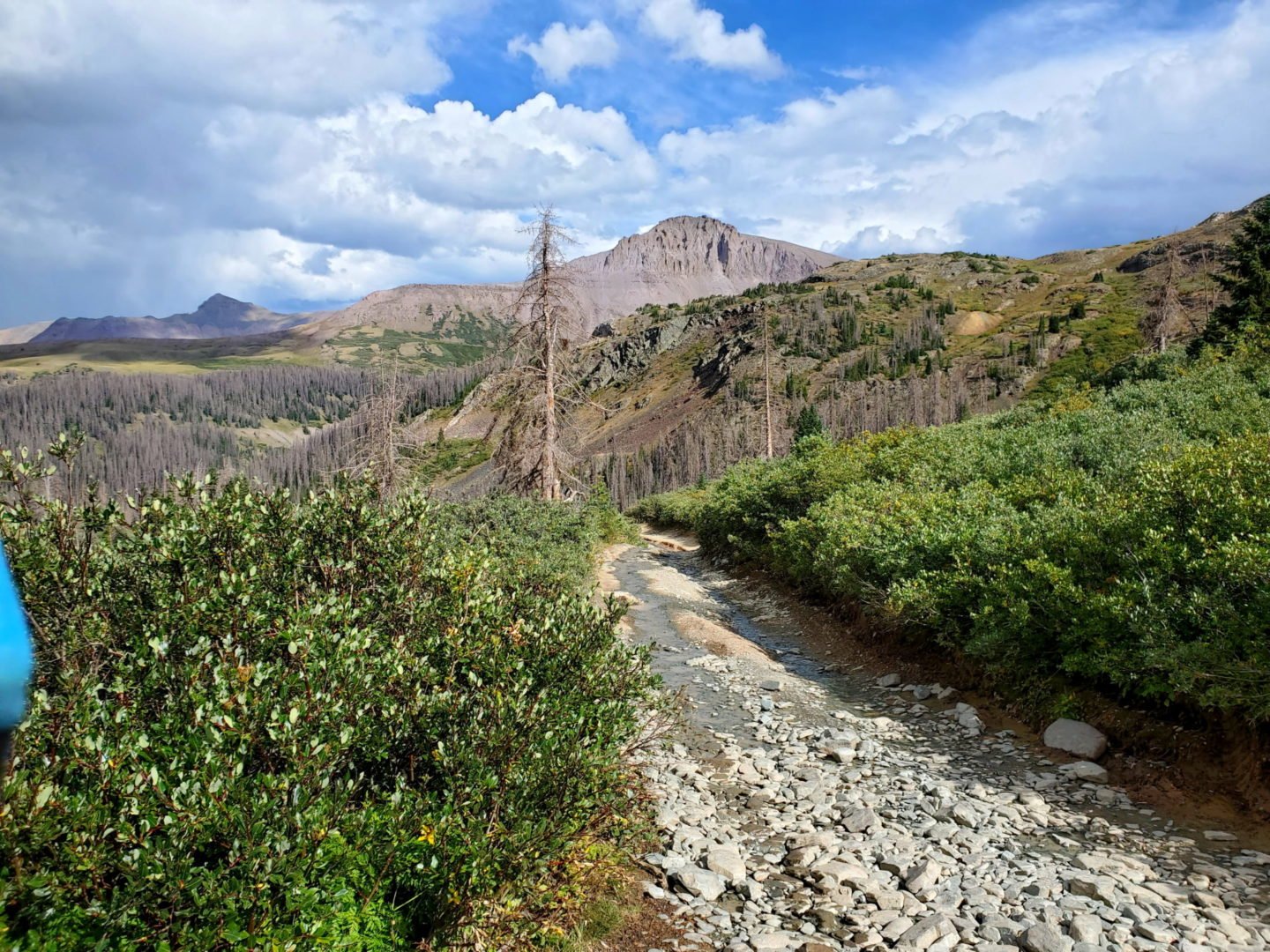
The road is rocky but solid.
The road is rocky but solid.
GPS Route with Elevation
Video Tour
Weather
Trail Directions
County Road 3 to Stony Pass (heading east) is a well graded and a easy drive to the top in a stock vehicle (in good weather). Once on the east side of the pass, an off-road vehicle is recommended because the road gets progressively more difficult until Kite Lake.
Pole Creek, a water crossing on the east side of the pass, can be very deep in the spring, making it impossible to cross.
Trailhead Directions