South Colony Lakes (12,000′), Sangre de Cristo Range
The South Colony Basin lies in the heart of southern Colorado’s Sangre de Cristo Range, home of the South Colony Lakes. Surrounded by Crestone Needle (14,197′), Humboldt Peak (14,064′), and Broken Hand Peak (13,573′), the basin is one of the most beautiful alpine settings in the Southern Rockies.
It was once possible to drive a vehicle to within a half-mile of the lakes, where most climbers set up a camp. Today, low-clearance vehicles park at the lower trailhead and walk 2.75 miles up the road to the upper trailhead. It’s another 2.5 miles from there along the closed road to the old trailhead, where the trail heads into the basin.
Trail Stats
- Trailhead: Upper South Colony Lakes
- Round trip: 9.2 miles / 14.8 km
- Elevation: 9,816′ – 12,123′ / 2,992m – 3,695m
- County: Saguache
- Agency: U.S. Forest Service
- Nat’l Forest: San Isabel

Trail Pictures
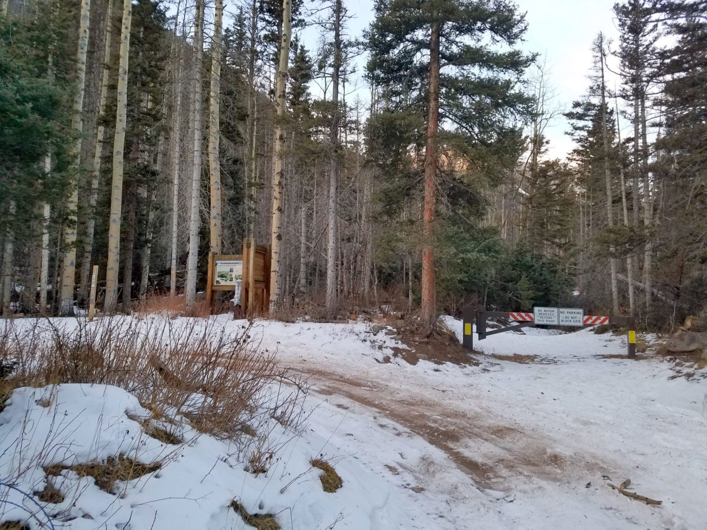
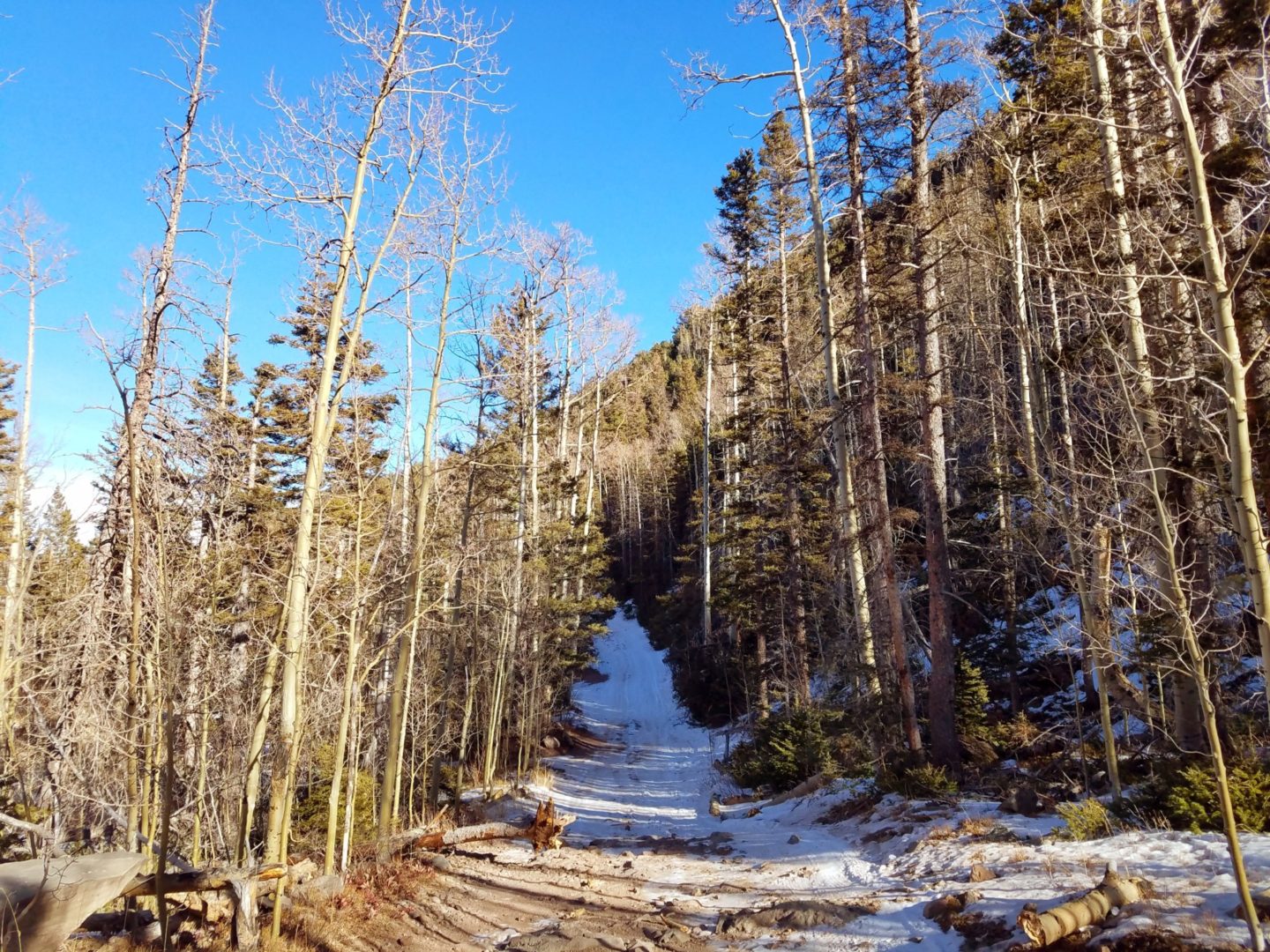
South Colony Lakes upper trailhead
South Colony Lakes upper trailhead
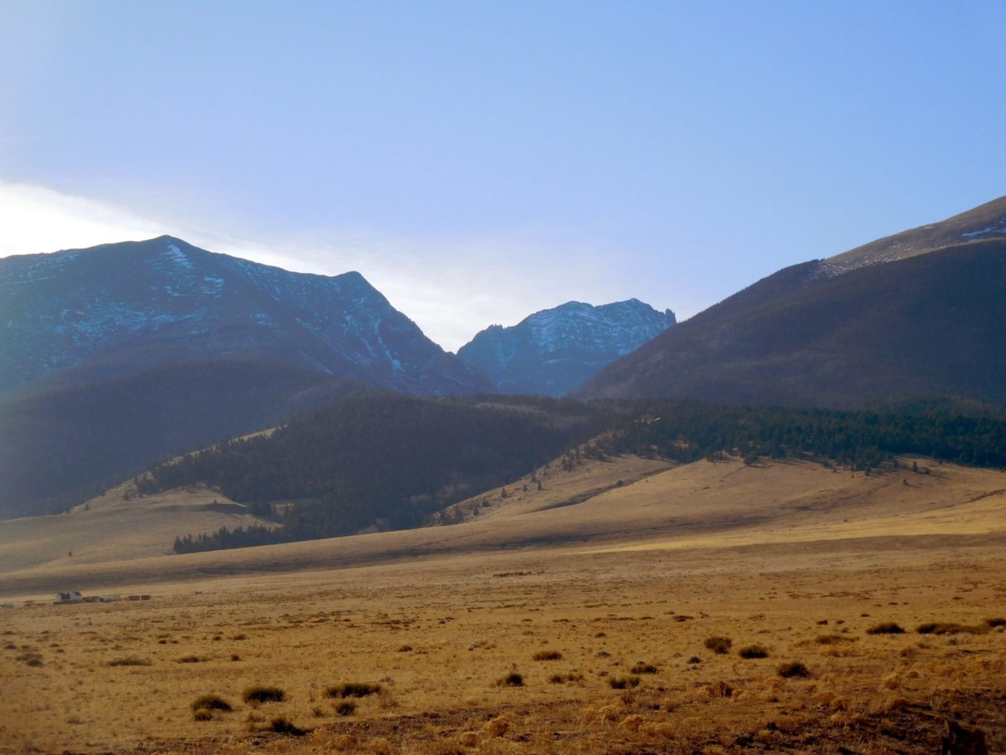
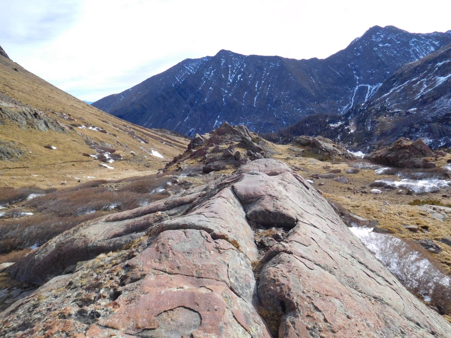
View of the South Colony Lakes valley
View of the South Colony Lakes valley
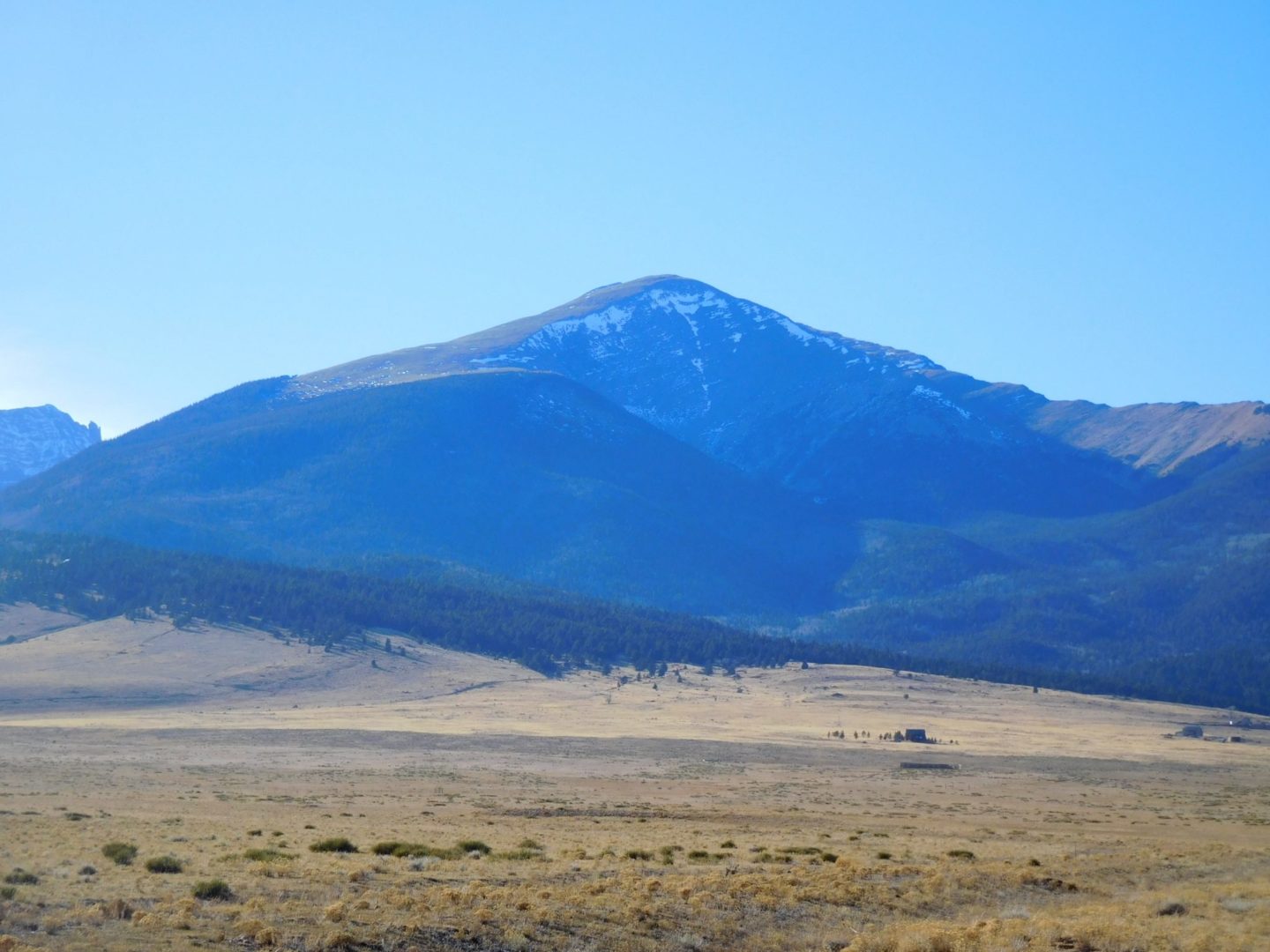
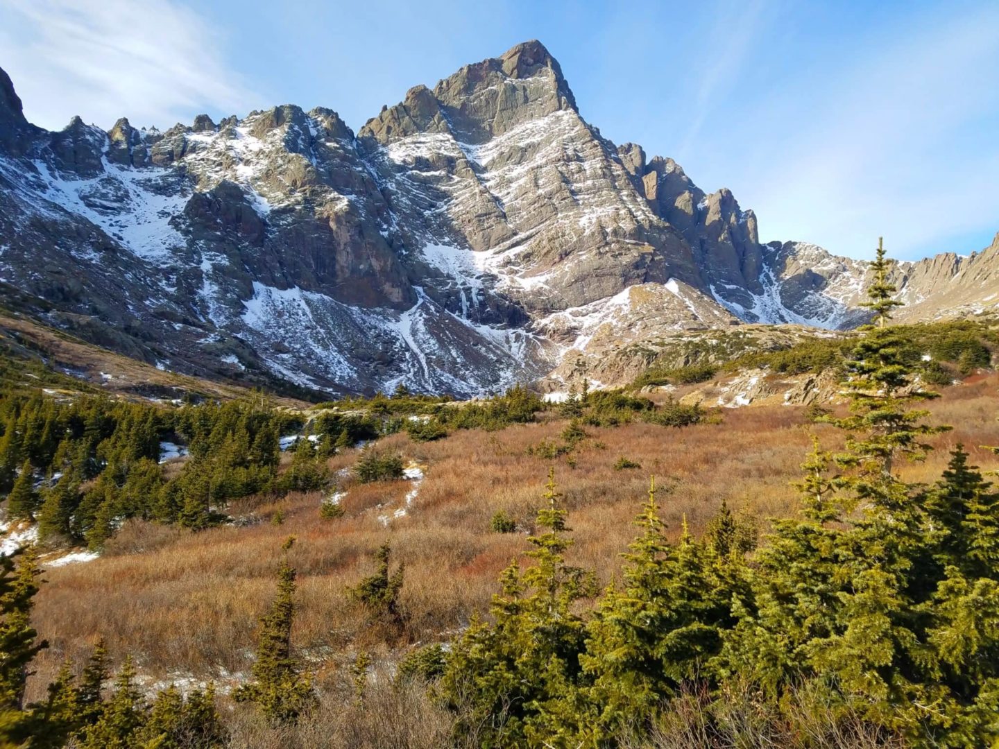
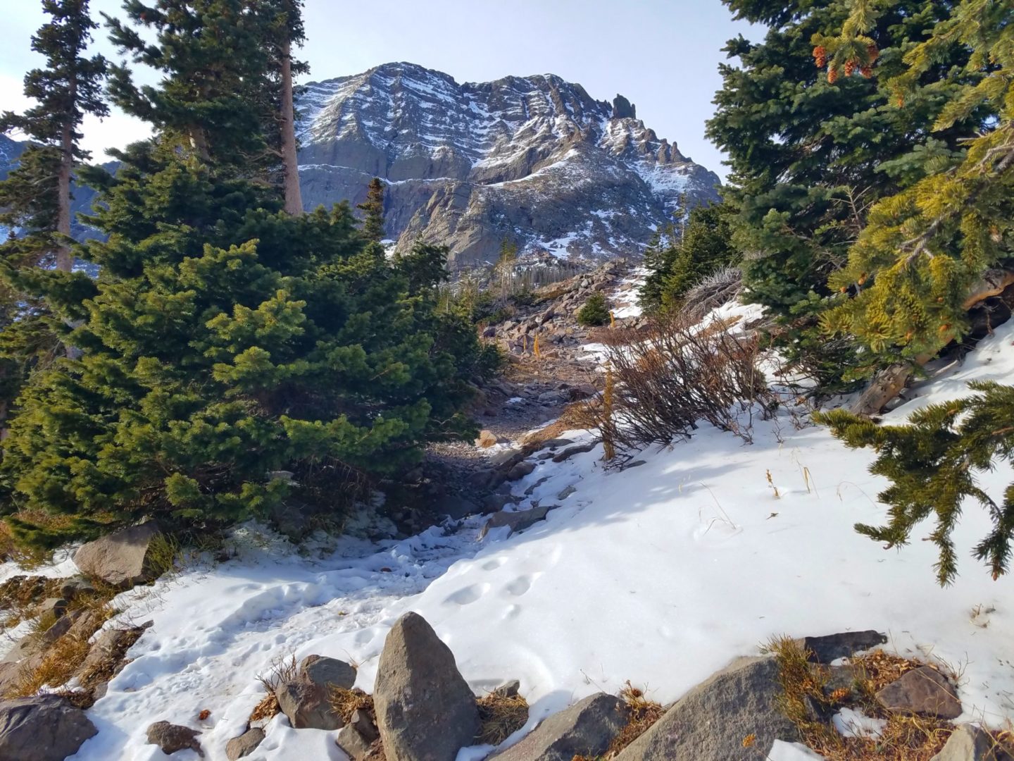
Humboldt Peak
Humboldt Peak
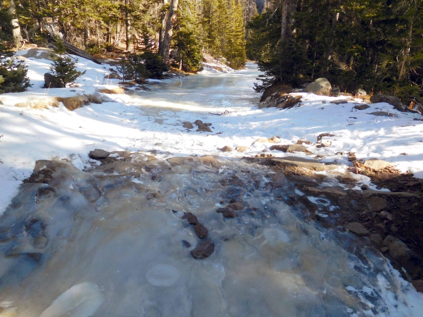
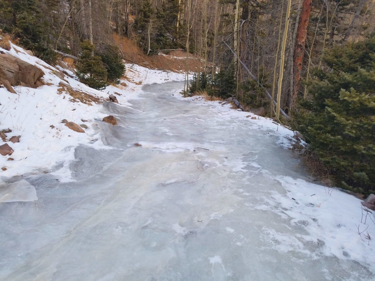
Icy all the way down
Icy all the way down
Looking back east at Marble Mountain (13,266′)
Looking back east at Marble Mountain (13,266′)
View of Humboldt Peak
View of Humboldt Peak
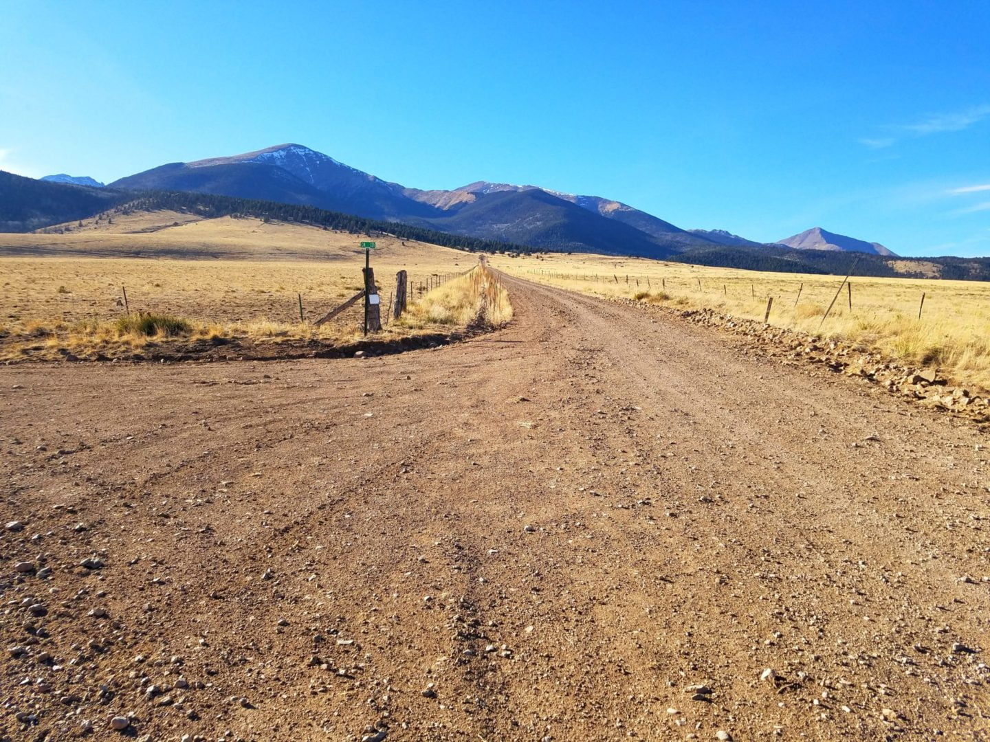
Road leaving the upper trailhead
Road leaving the upper trailhead
South Colony Lakes upper trailhead
South Colony Lakes upper trailhead
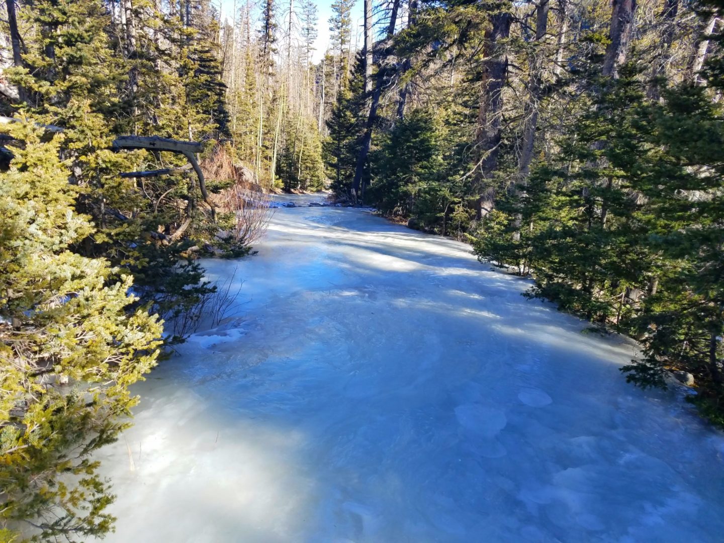
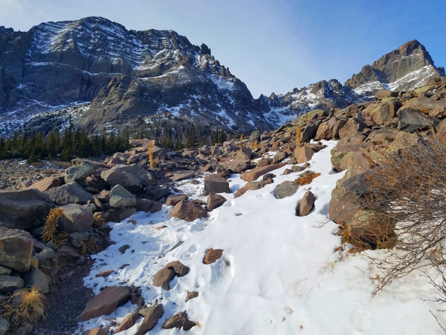
Frozen trail
Frozen trail
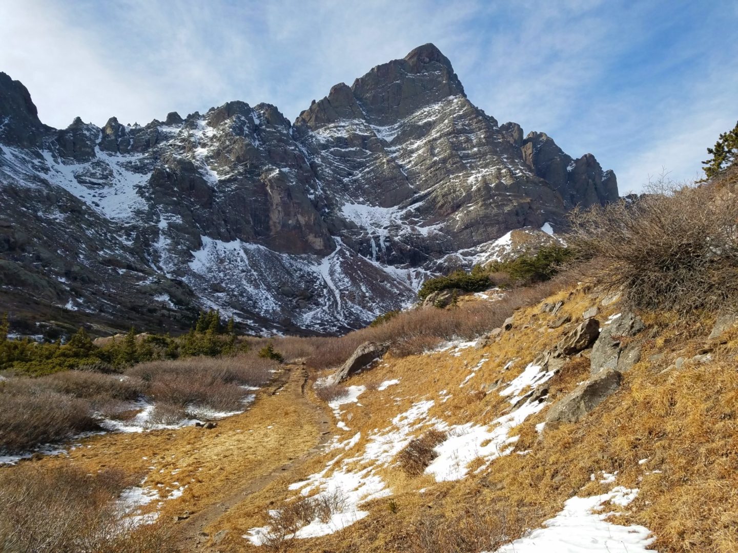
Crestone Needle
Crestone Needle
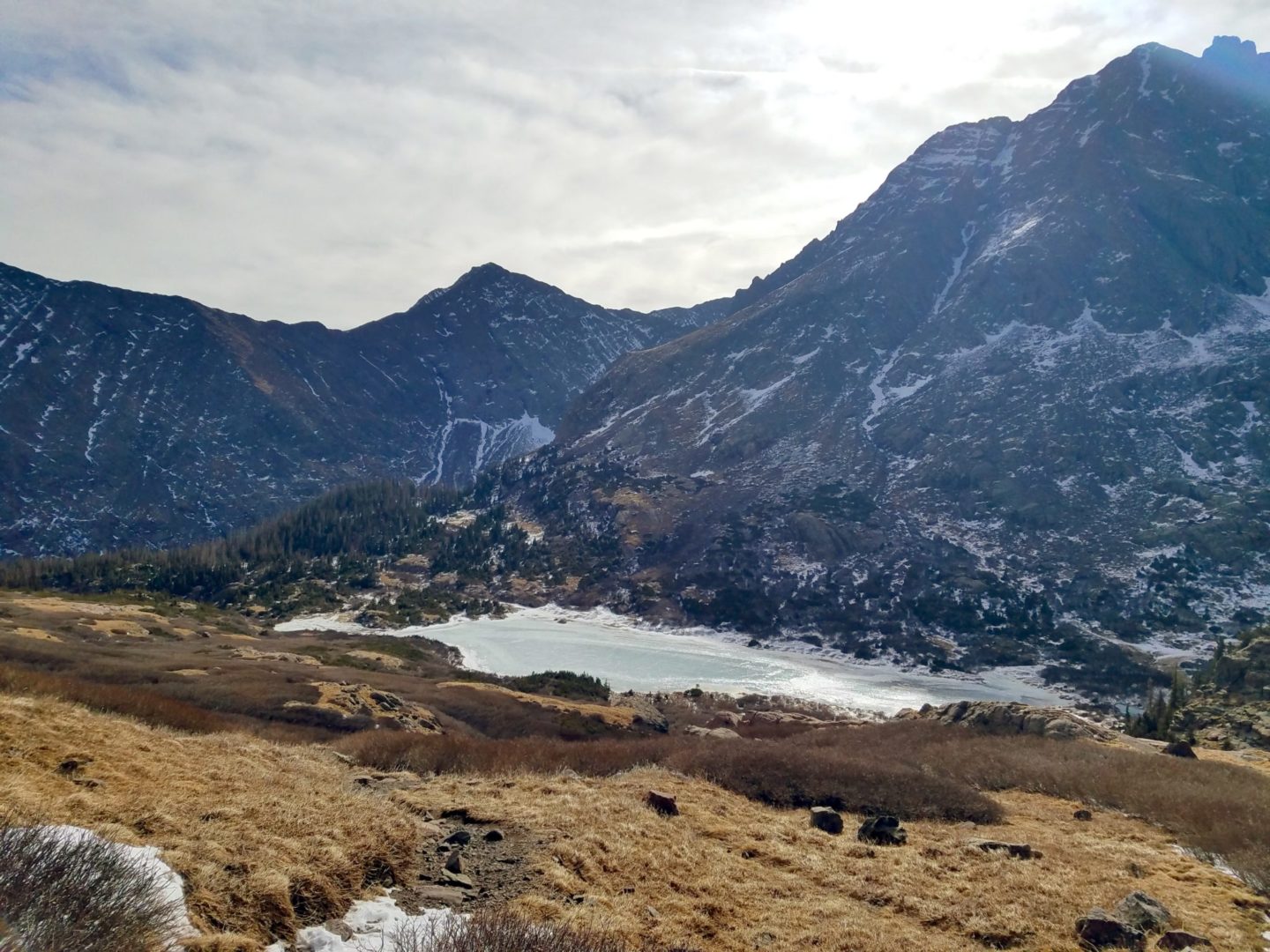
Lower South Colony Lake
Lower South Colony Lake
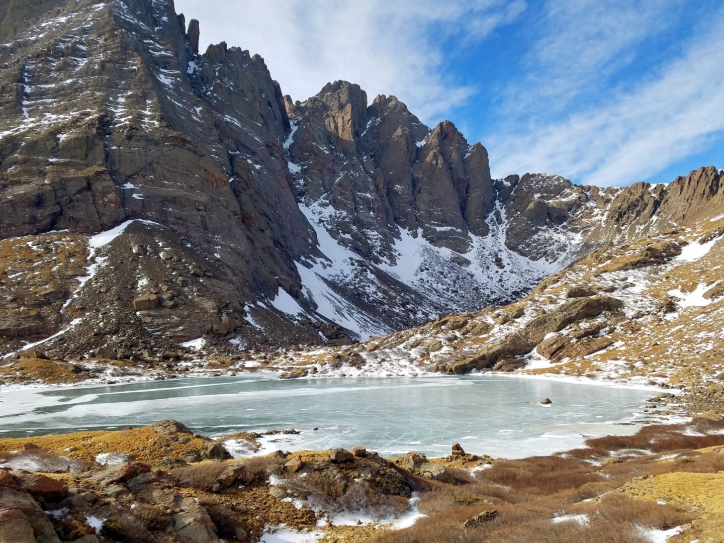
Upper South Colony Lake
Upper South Colony Lake

Trail from upper South Colony Lake to Humboldt Peak
Trail from upper South Colony Lake to Humboldt Peak
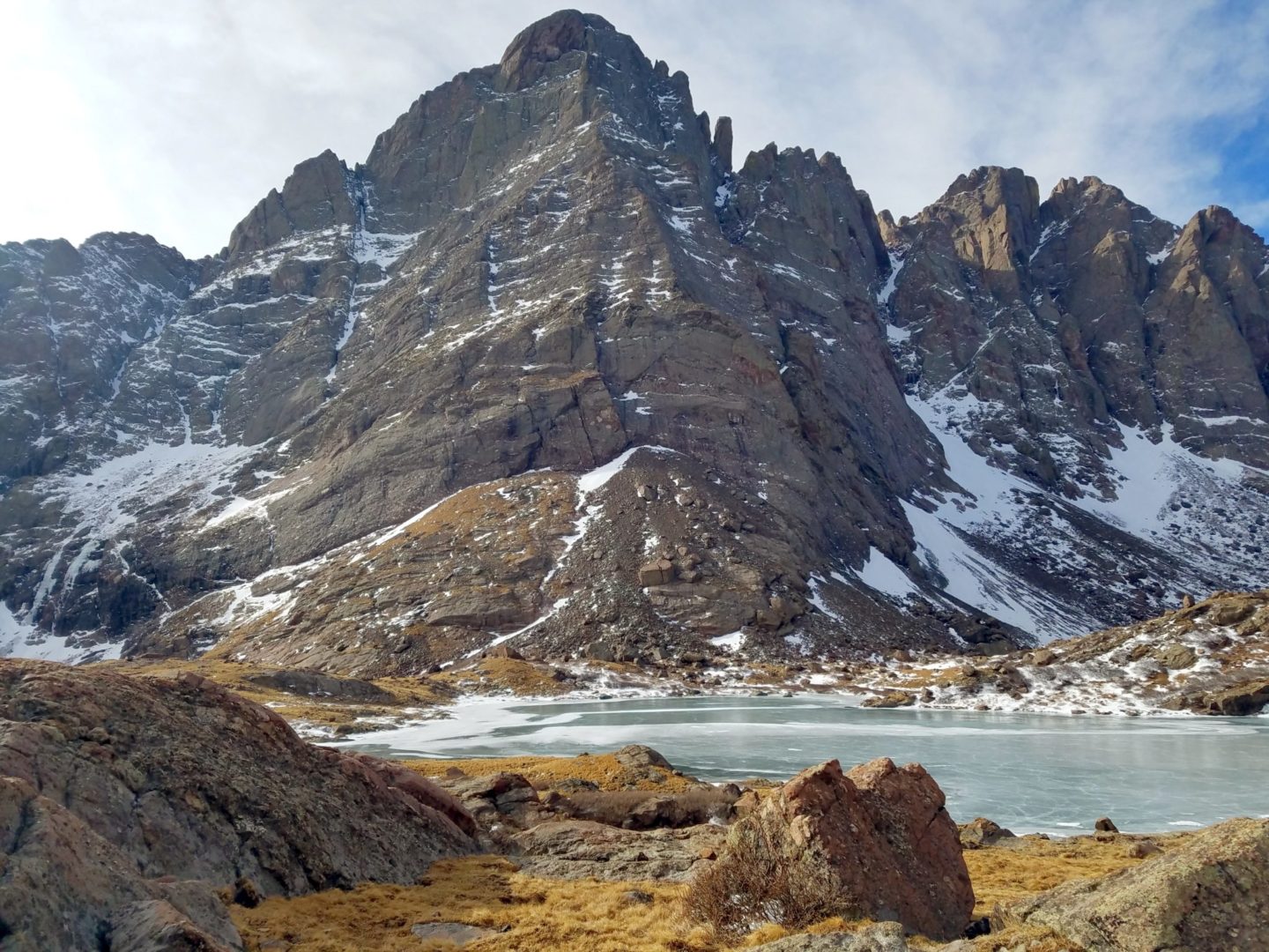
View of Upper South Colony Lake with Crestone Needle (14,197′) in the middle, behind and to the right is Crestone Peak (14,294′) – the second highest in the Sangre de Cristo mountain range
View of Upper South Colony Lake with Crestone Needle (14,197′) in the middle, behind and to the right is Crestone Peak (14,294′) – the second highest in the Sangre de Cristo mountain range

Trail to upper South Colony Lake
Trail to upper South Colony Lake
Crestone Needle
Crestone Needle
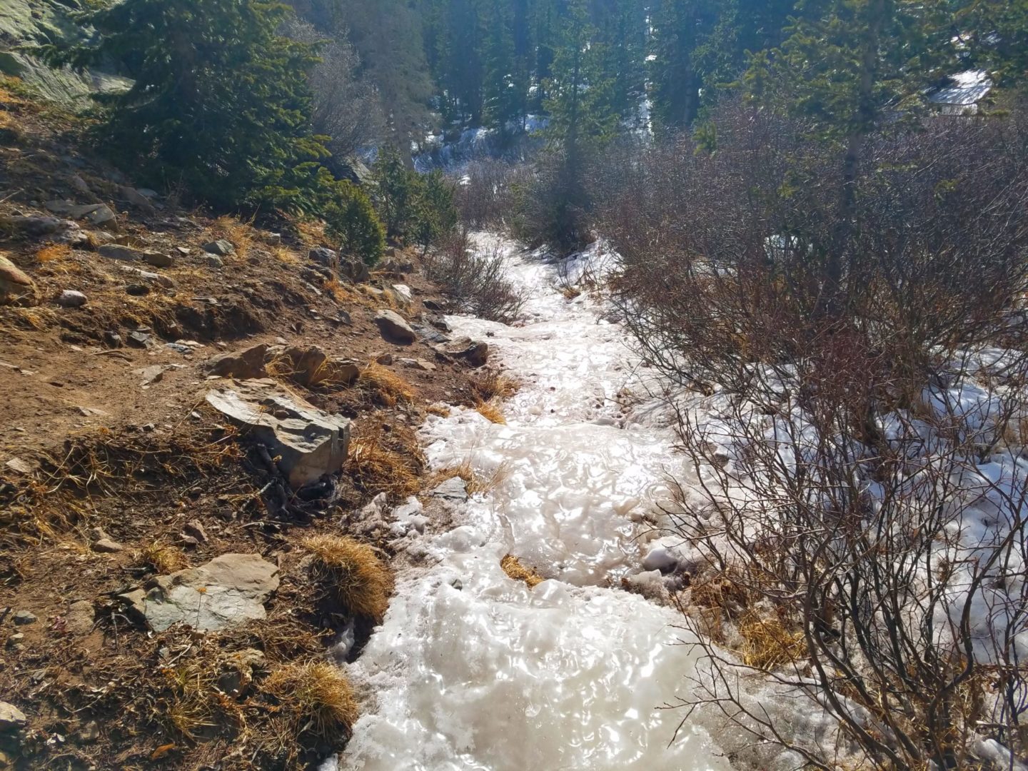
Frozen all the way to the lakes
Frozen all the way to the lakes

Humboldt Peak to the north
Humboldt Peak to the north
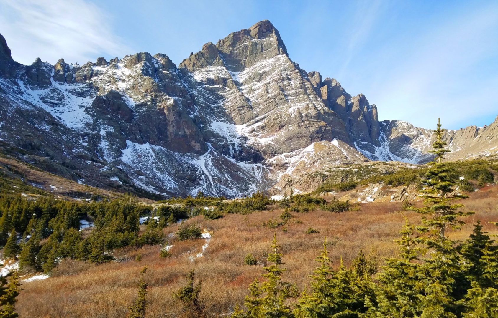
Broken Hand Peak (13,573′) and Crestone Needle (14,197′)
Broken Hand Peak (13,573′) and Crestone Needle (14,197′)
View of Broken Hand Peak
View of Broken Hand Peak
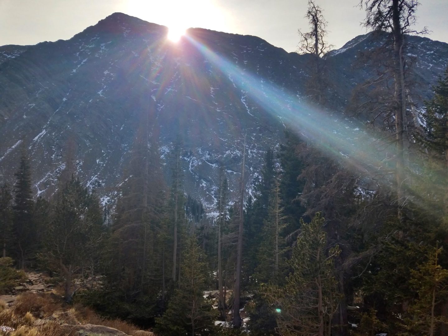
Sunrise over the Crestones
Sunrise over the Crestones
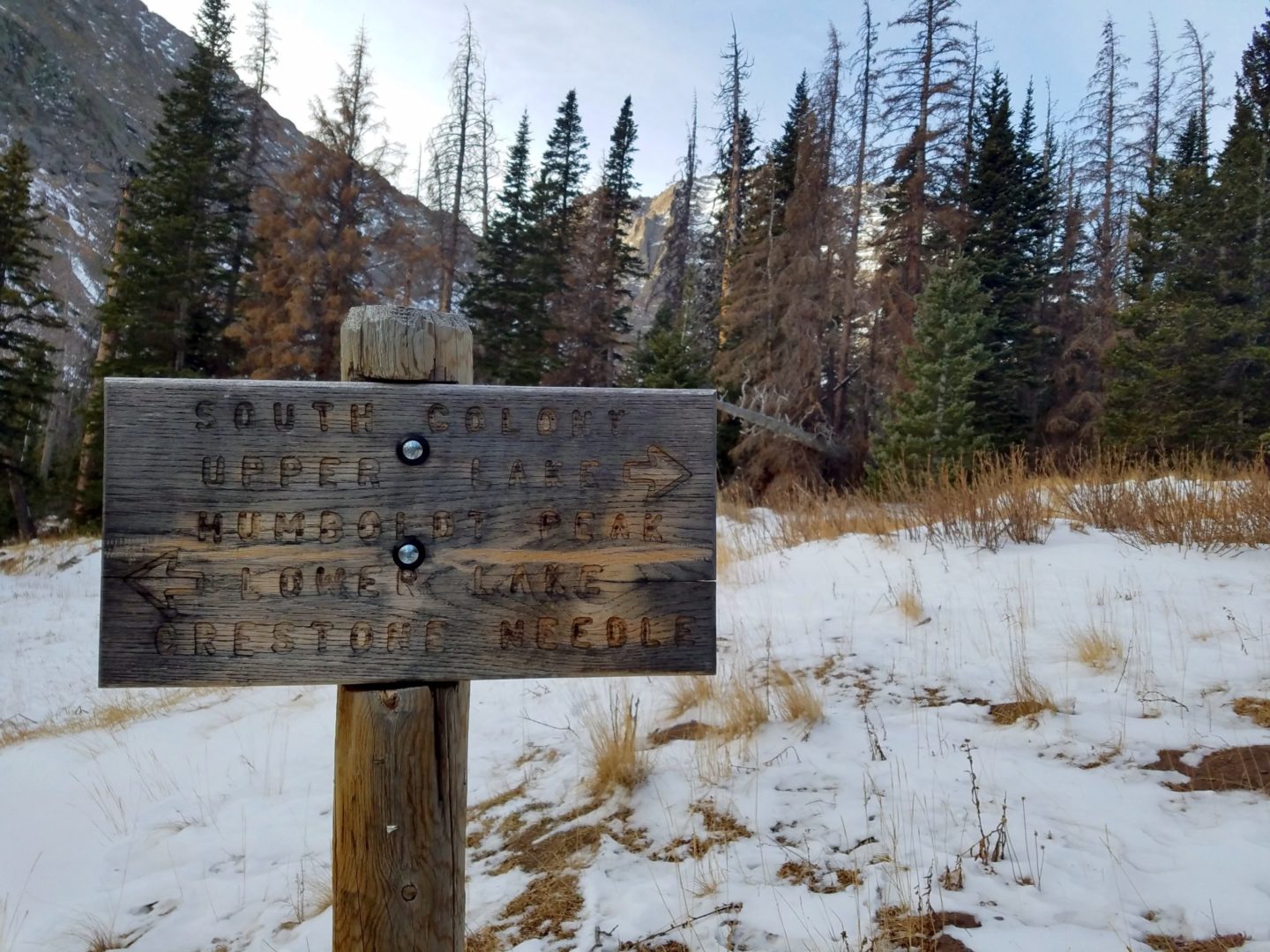
Trail junction
Trail junction
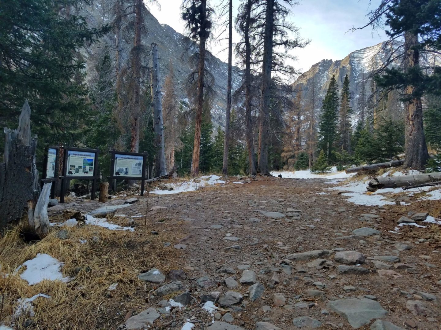
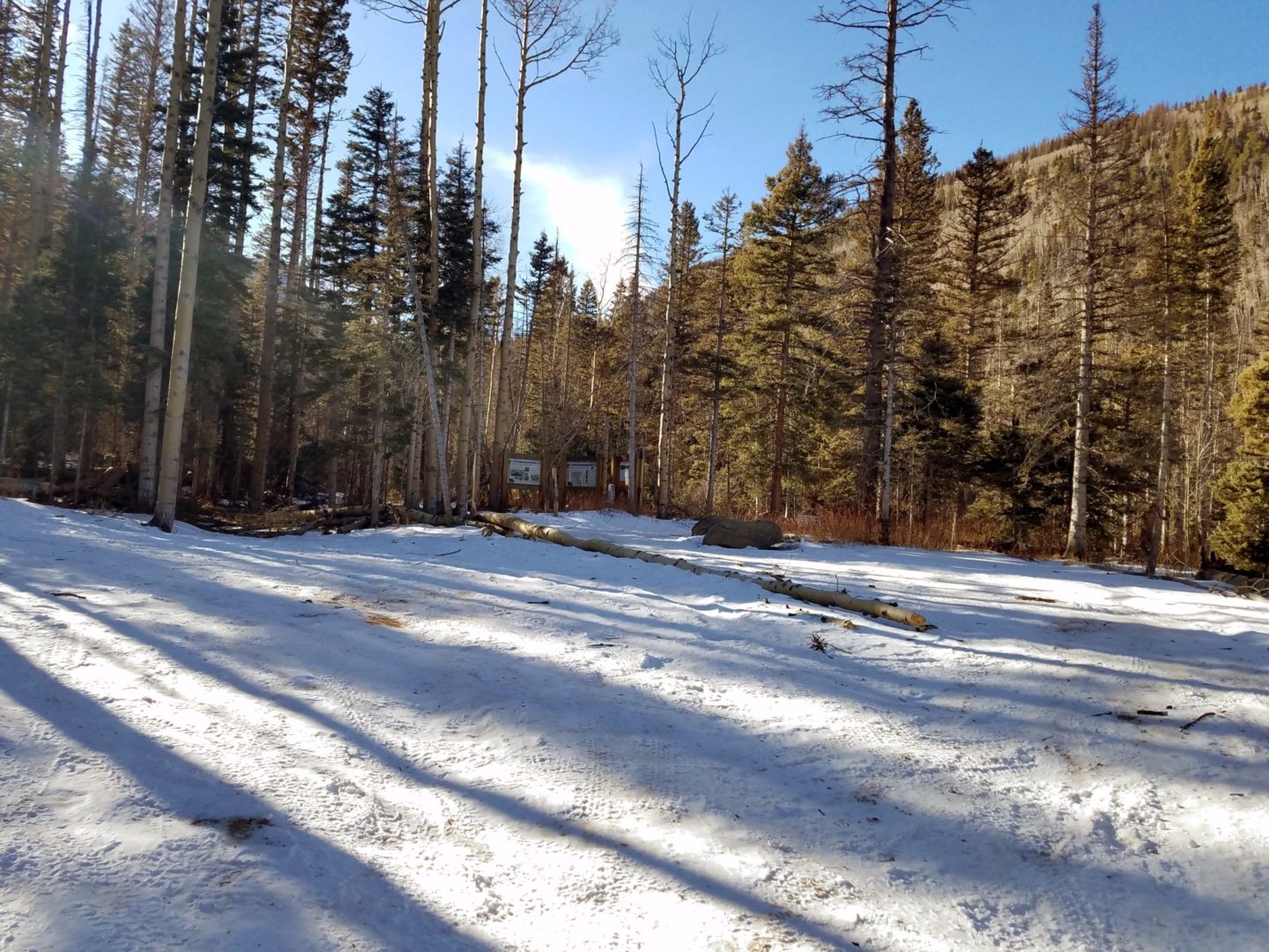
The old upper trailhead, now permanently closed
The old upper trailhead, now permanently closed
Crestone Needle
Crestone Needle
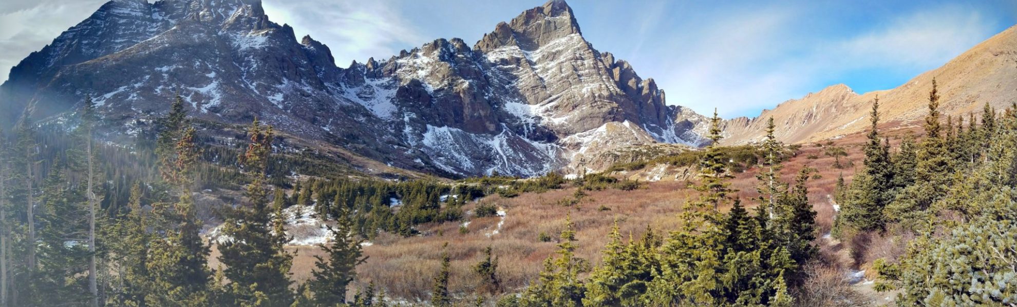
Panorama of Broken Hand Peak and Crestone Needle
Panorama of Broken Hand Peak and Crestone Needle
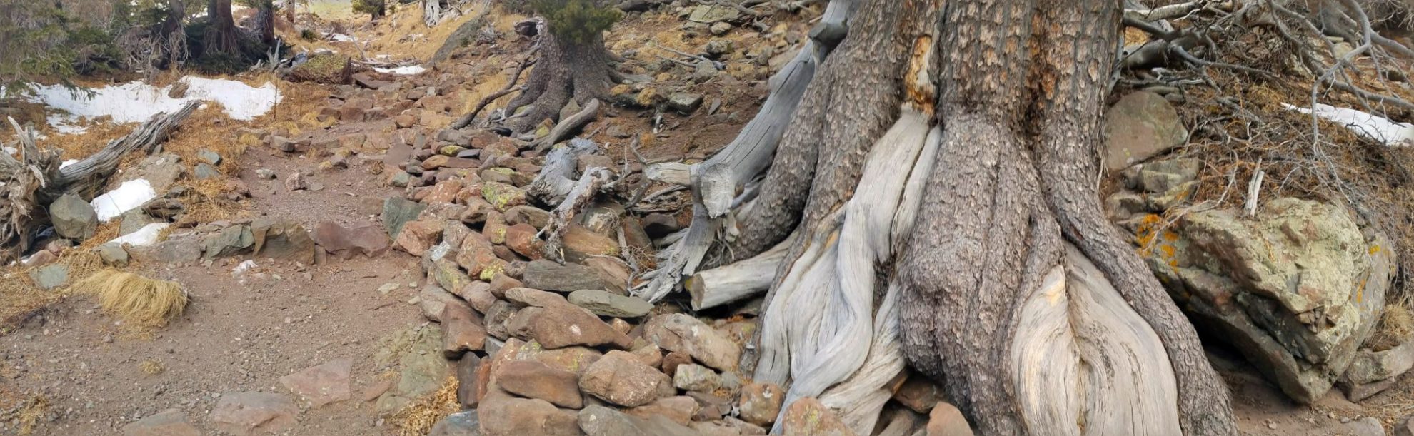
Harsh environment
Harsh environment
Ice road hiker
Ice road hiker
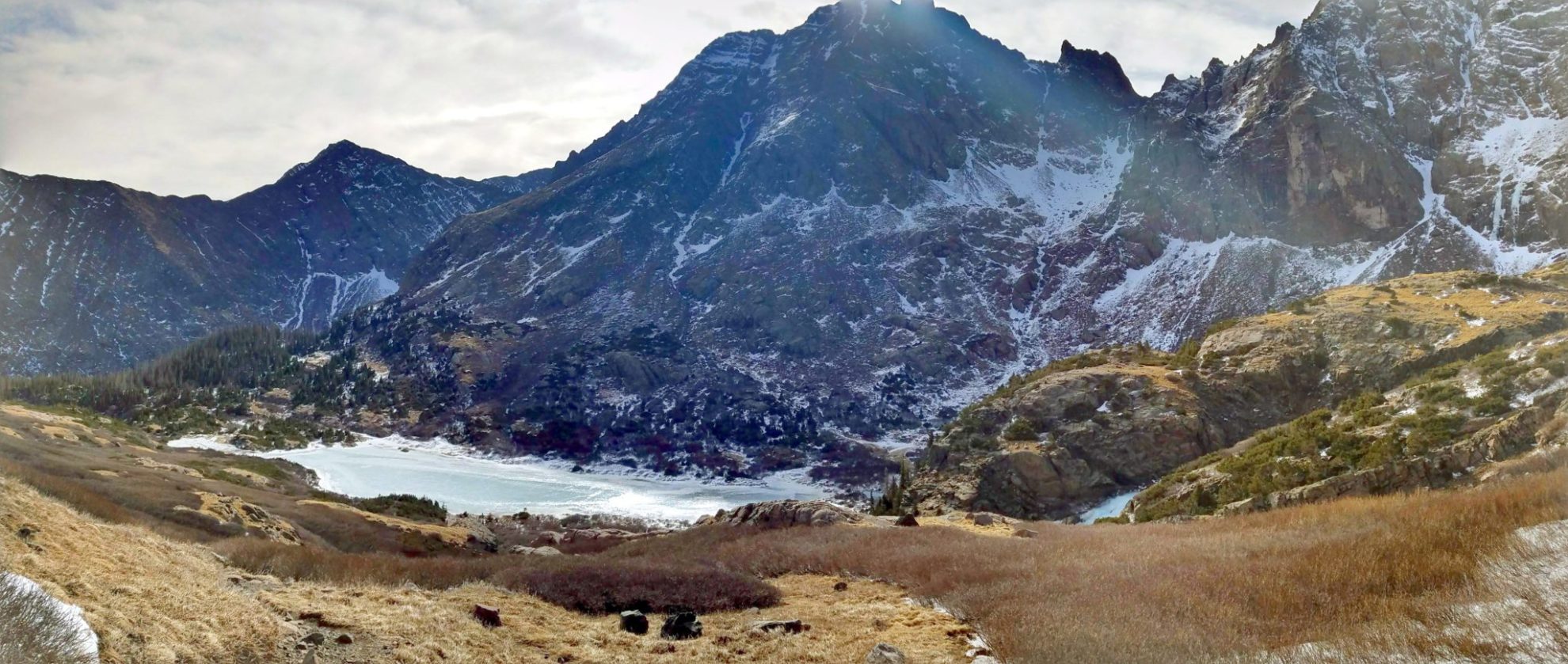
Panorama of lower South Colony Lake
Panorama of lower South Colony Lake
GPS Route with Elevation
Video Tour
Trail Directions
The trail follows the permanently closed old 4×4 road. At about 2.6 miles from the upper trailhead you reach a trail junction and turn right, leaving the road and continuing west along a single track trail. After a mile on this trail, you reach tree line and continue through willows to the north of the creek and Lower South Colony Lake. Follow the trail northwest up the hillside above to the upper lake and take in the views.
Trailhead Directions
Hi what time of year were these pictures taken?
The pictures were taken in late December.