Mt Ida (12,880′), Front Range
Mt Ida (12,880′), Front Range
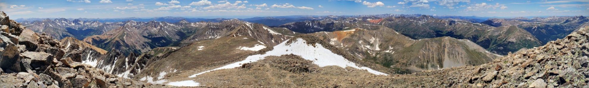
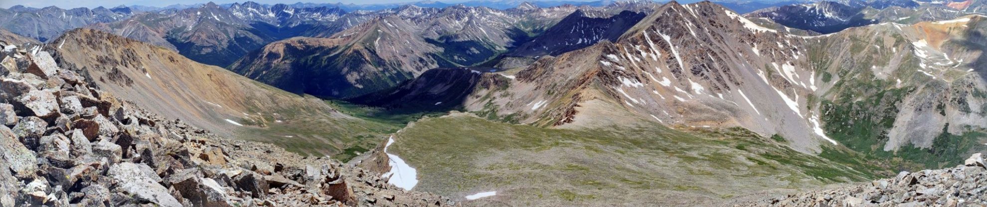
The Mt Ida trail, at Milner Pass, is one of Rocky Mountain Park’s most scenic alpine treks. The trail has spectacular views that include tundra flats, panoramic views across the Never Summer Mountain Range, and 360 degree views of Rocky Mountain National Park from the summit.
Officially there is no trail to the summit, but well-established hiking paths make the trek straightforward. Be aware that many cairns and social trails begin to spindle off the main route near the summit, which can be confusing. However, since you’re above treeline, it shouldn’t be hard to piece together the final part of the route.
Trail Stats
- Trailhead: Milner Pass
- Round trip: 10.2 miles / 16.4 km
- Elevation: 10,780′- 12,880′ / 3,286 m – 3,926 m
- County: Larimer / Grand
- Agency: National Park Service
- Nat’l Park: Rocky Mountain

Trail Pictures

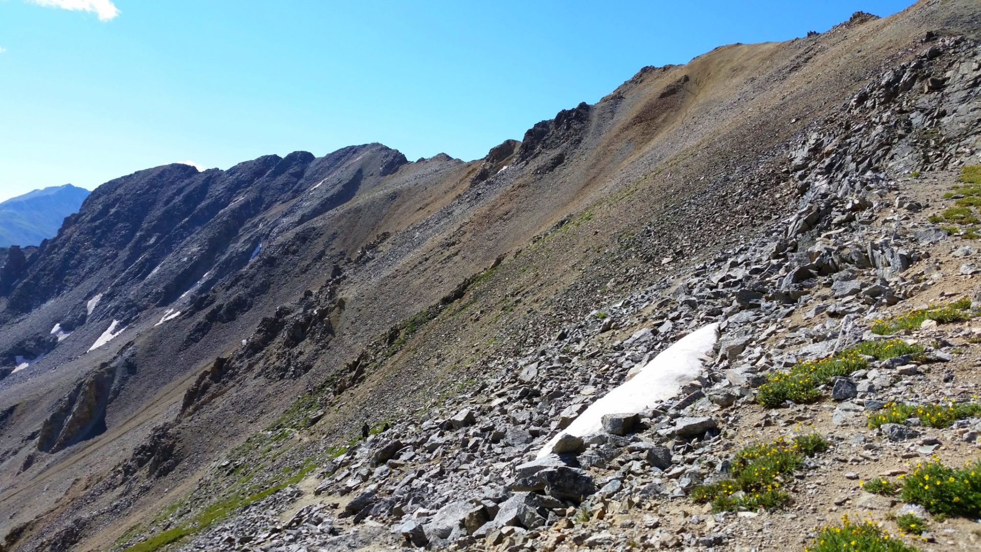
The Mt Ida trail follows the Continental Divide the entire way
The Mt Ida trail follows the Continental Divide the entire way

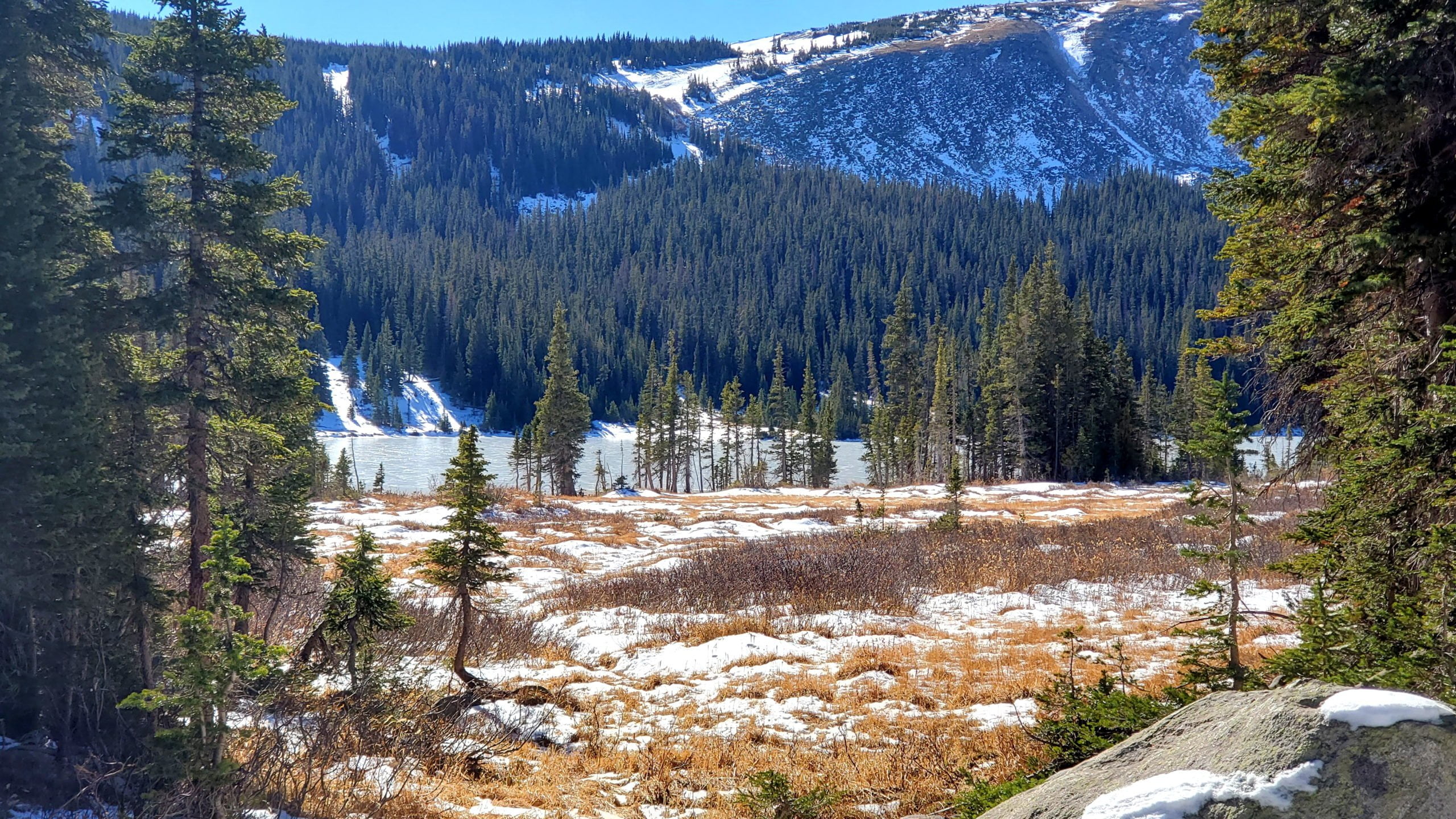
The trail begins at Poudre Lake
The trail begins at Poudre Lake
View of Specimen mountain
View of Specimen mountain

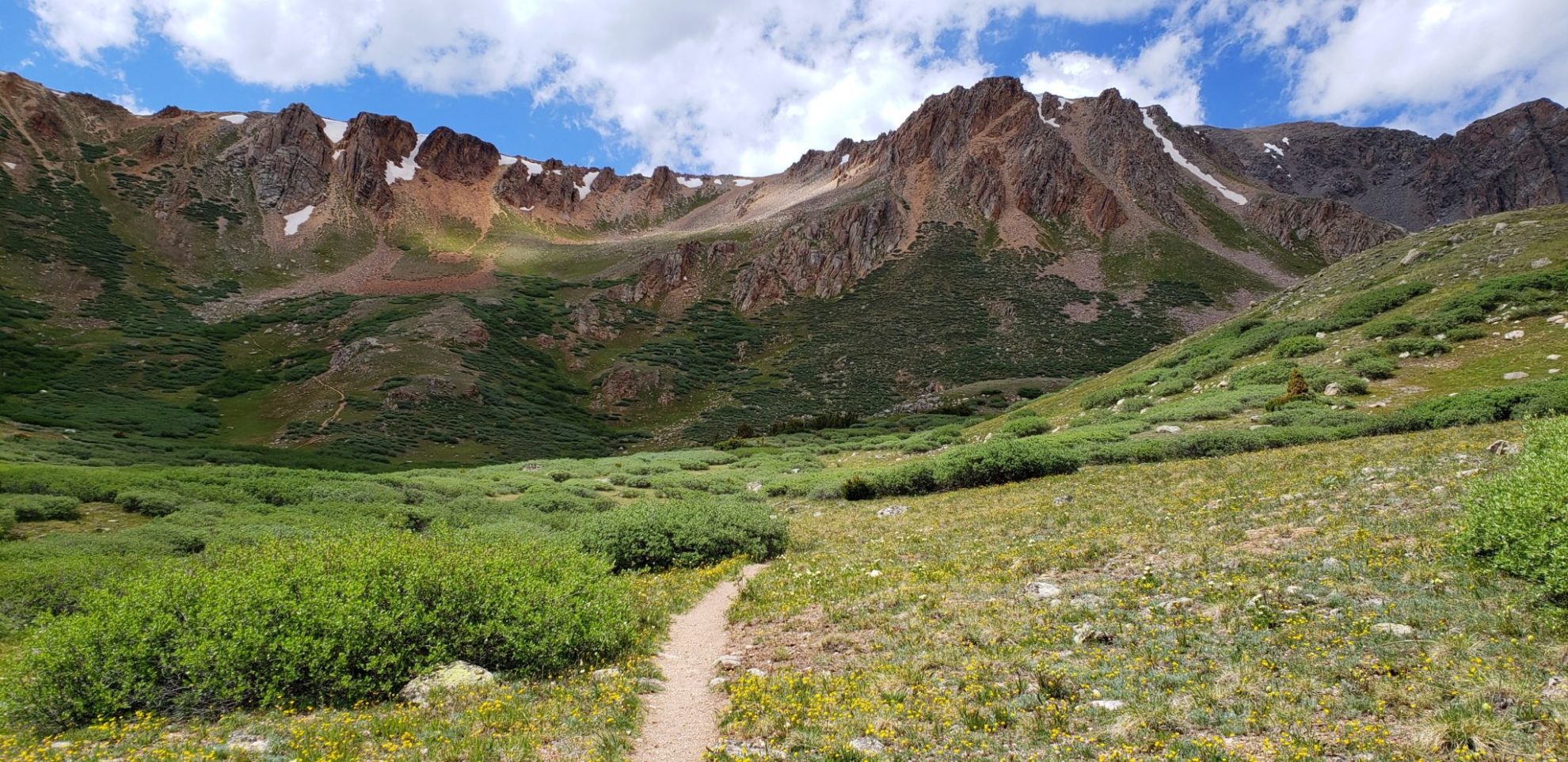
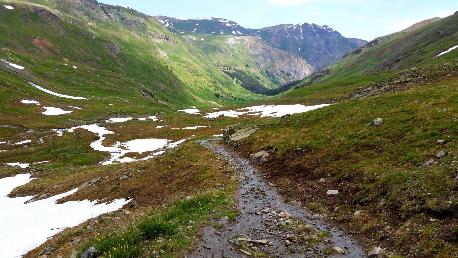
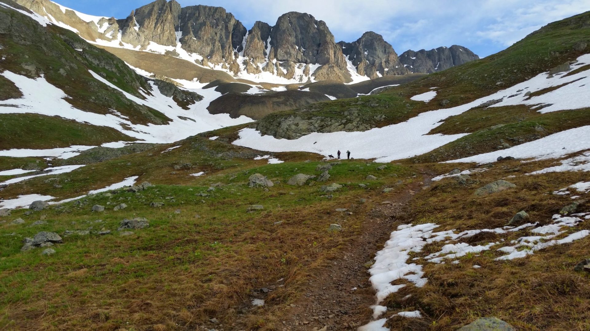
View of the trail with Mt Ida on the right
View of the trail with Mt Ida on the right

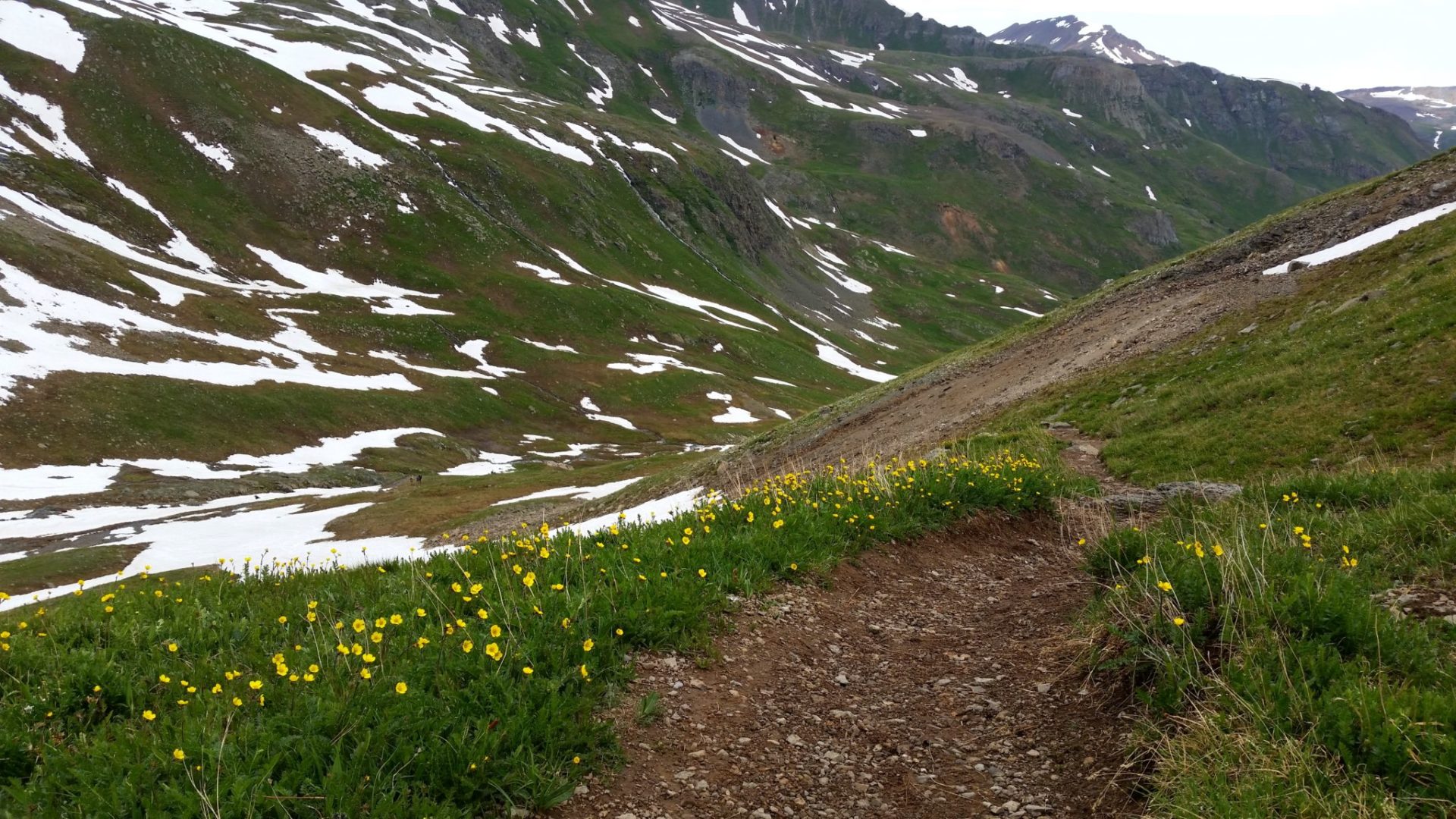
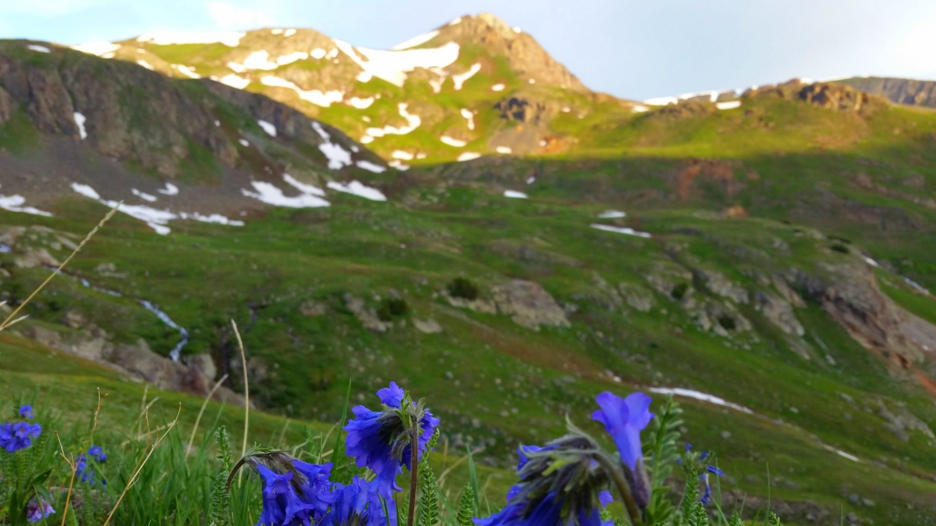
Wildflowers in full bloom on the Mt Ida trail
Wildflowers in full bloom on the Mt Ida trail

The trail is one of the finest trails in Colorado
The trail is one of the finest trails in Colorado
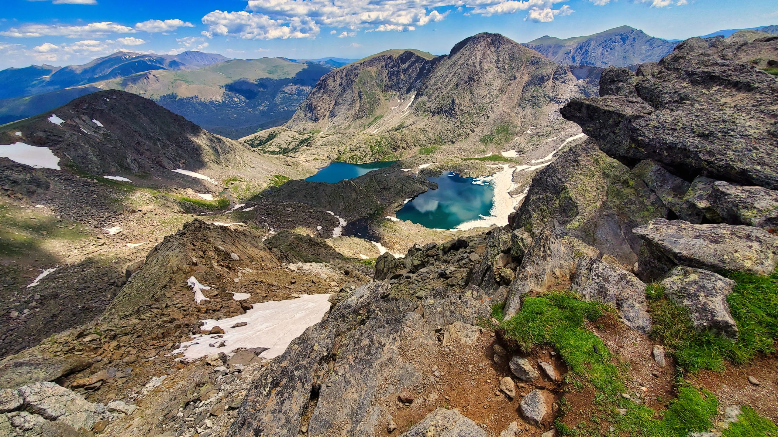
Azure and Inkwell Lake
Azure and Inkwell Lake

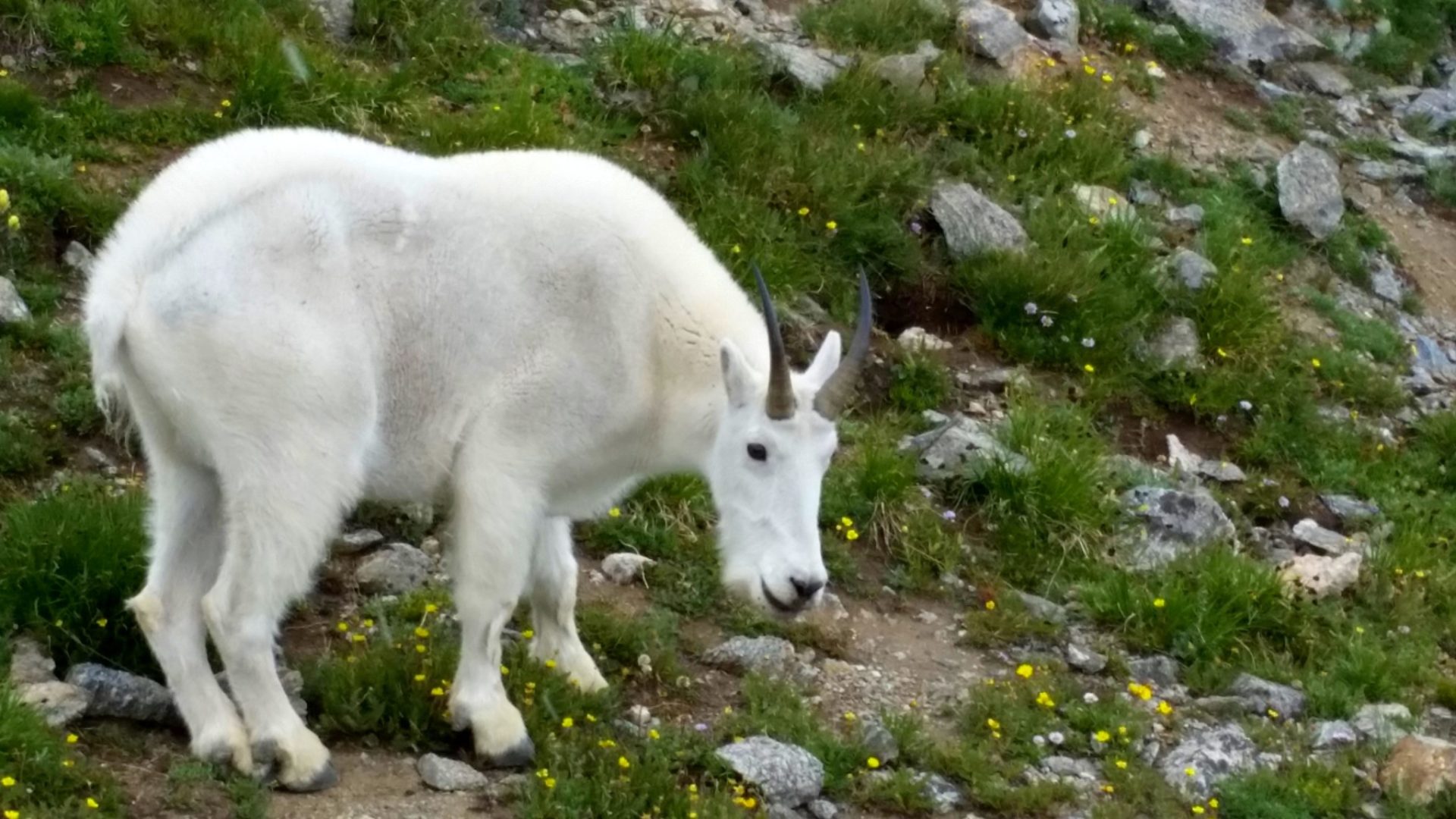
Marmot sunbathing
Marmot sunbathing

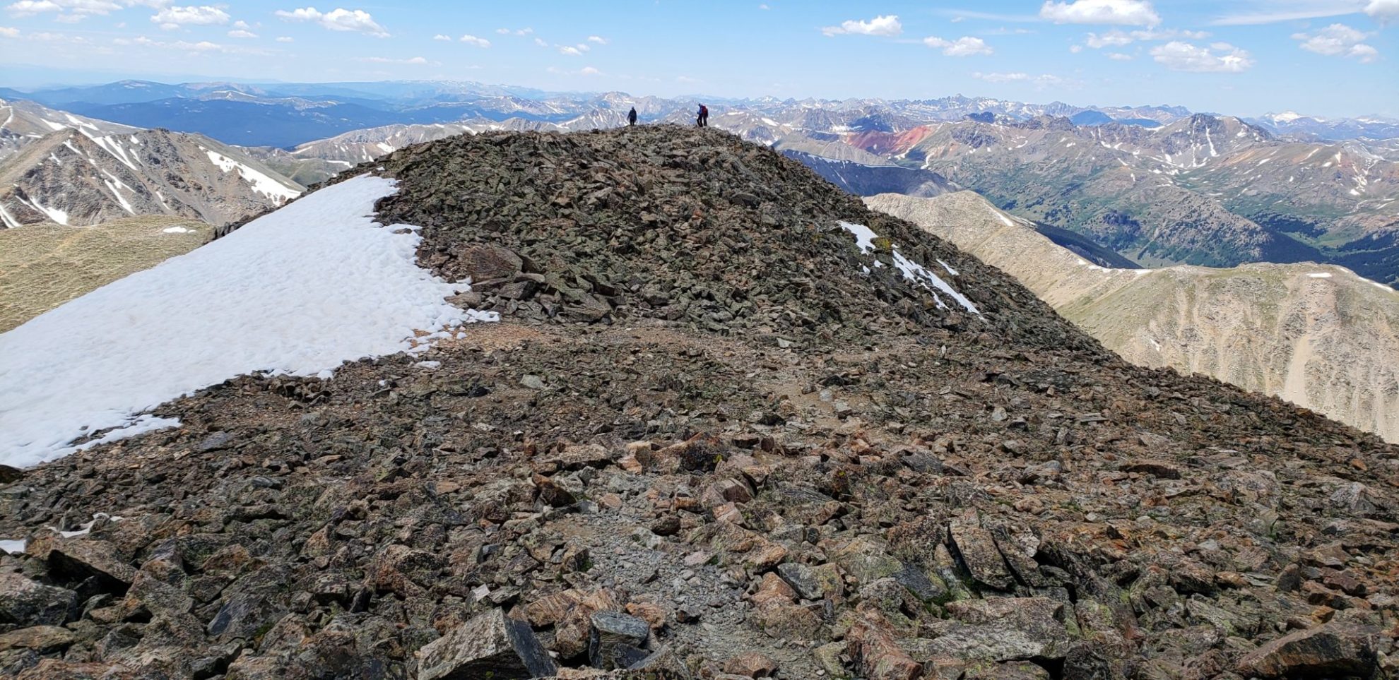
12,880′ summit
12,880′ summit

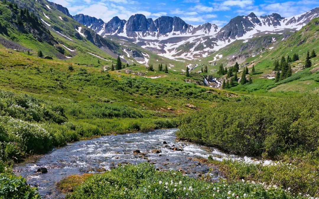
Julian Lake near with Grand Lake and Shadow Mountain Lake in the distance
Julian Lake near with Grand Lake and Shadow Mountain Lake in the distance

Chipmunk looking over his kingdom
Chipmunk looking over his kingdom

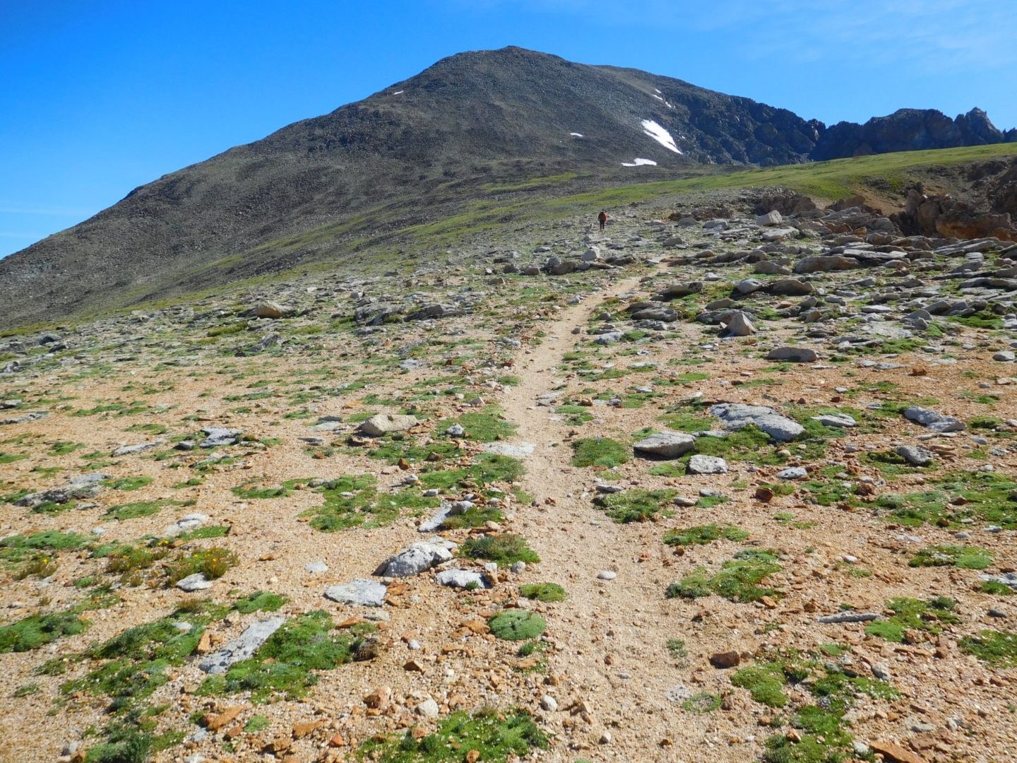
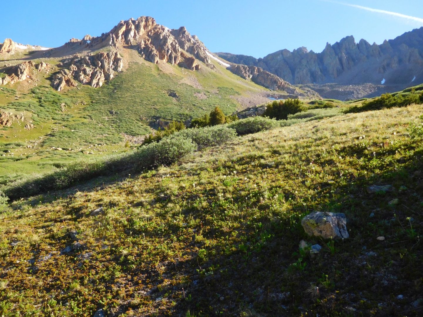
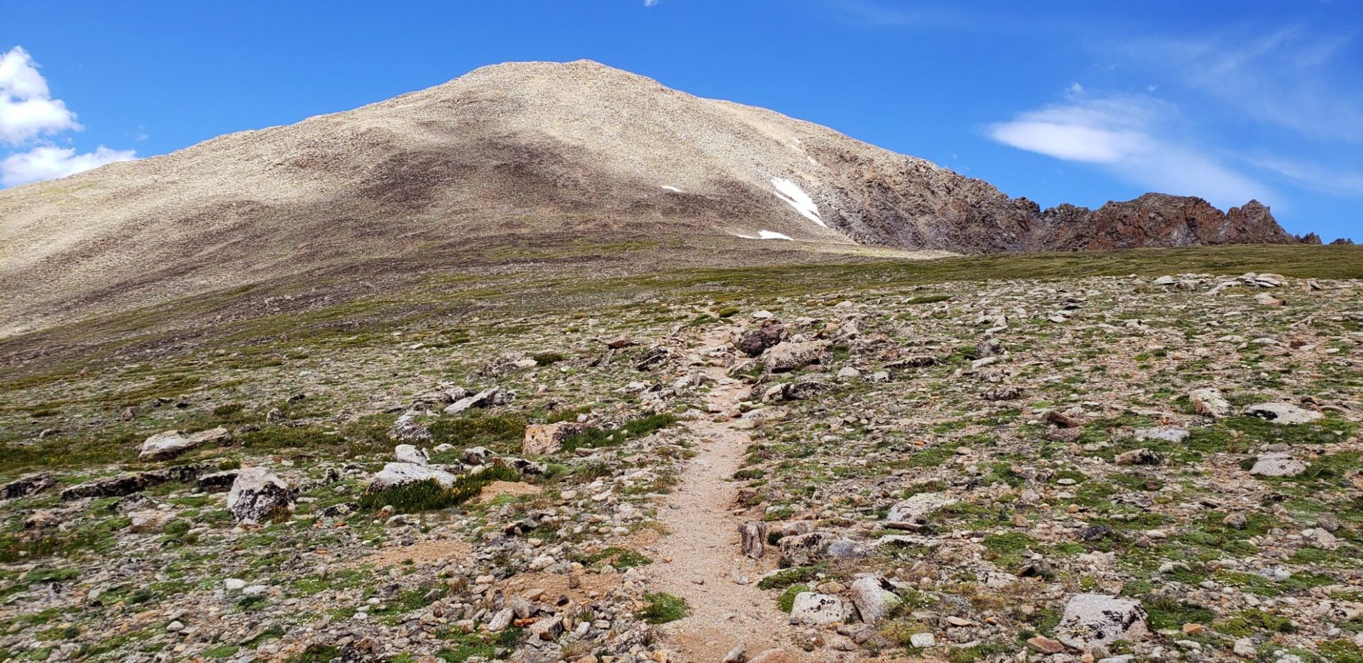
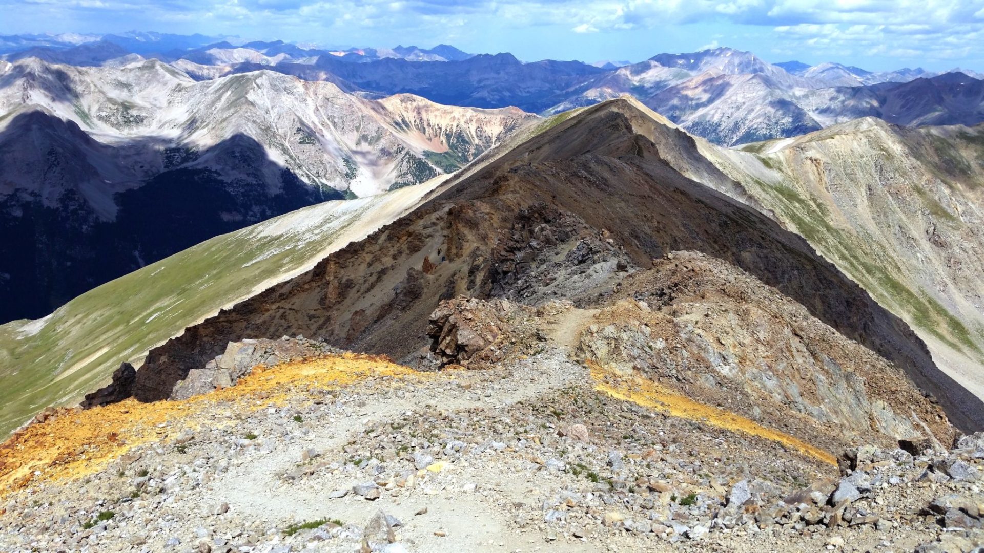
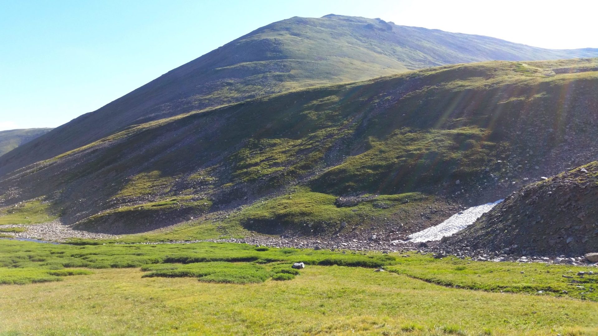
The summit in the distance
The summit in the distance

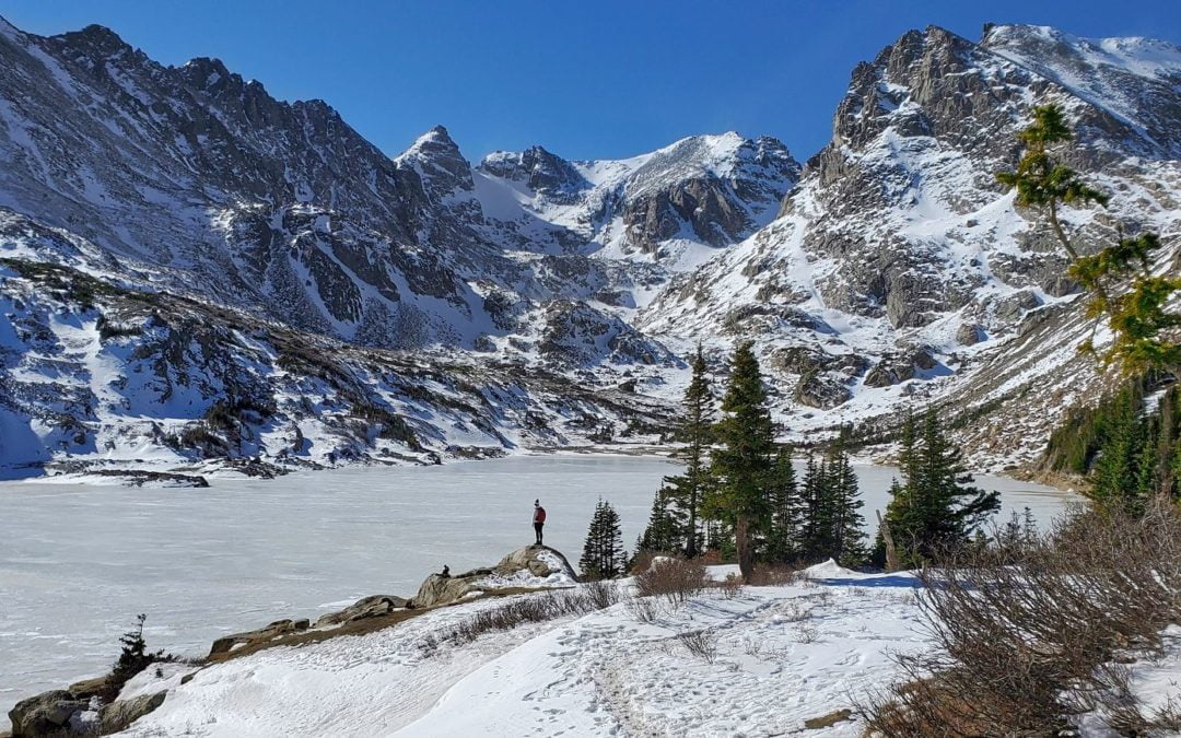
Azure and Inkwell Lake from the summit
Azure and Inkwell Lake from the summit

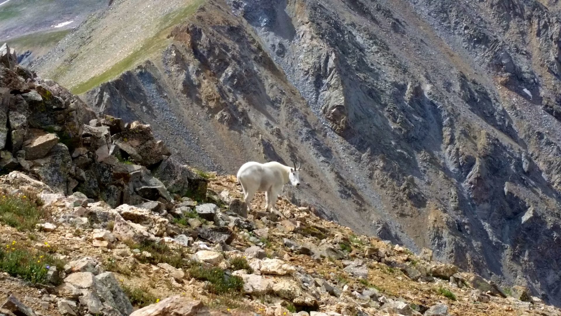
Marmot’s playing along the ridge
Marmot’s playing along the ridge

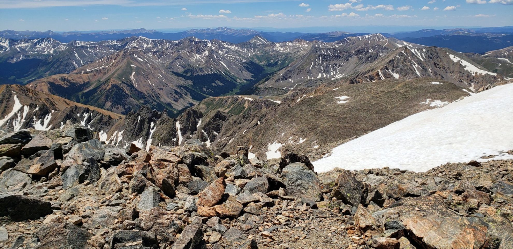
Summit view with Longs Peak in the background
Summit view with Longs Peak in the background

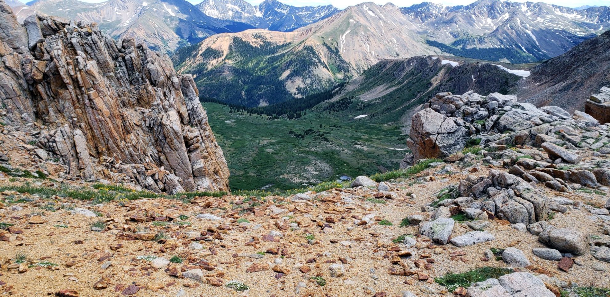
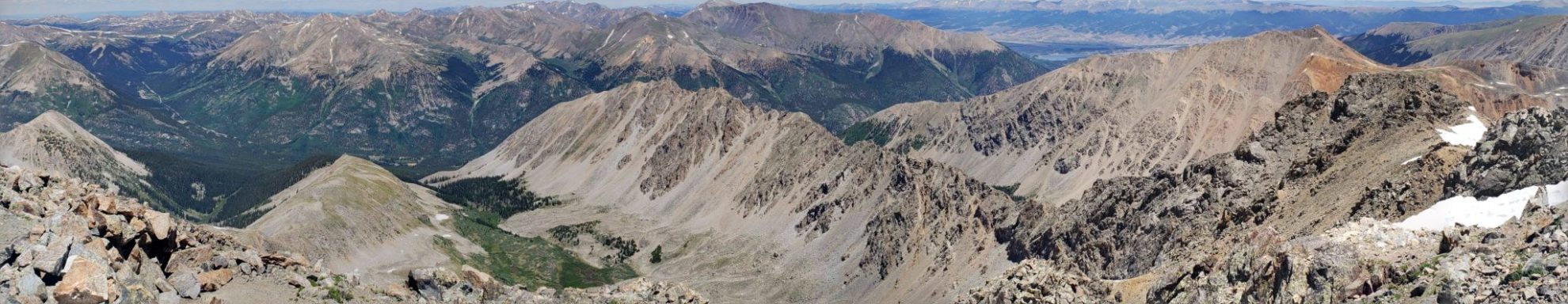
View of the east side of the mountain
View of the east side of the mountain

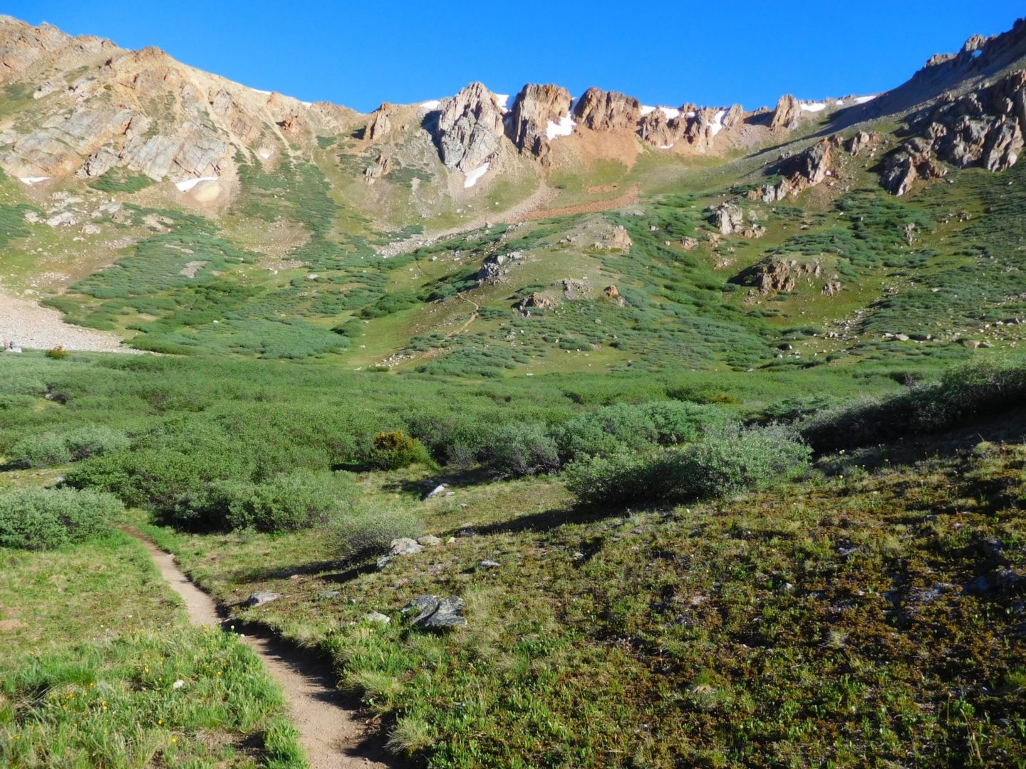
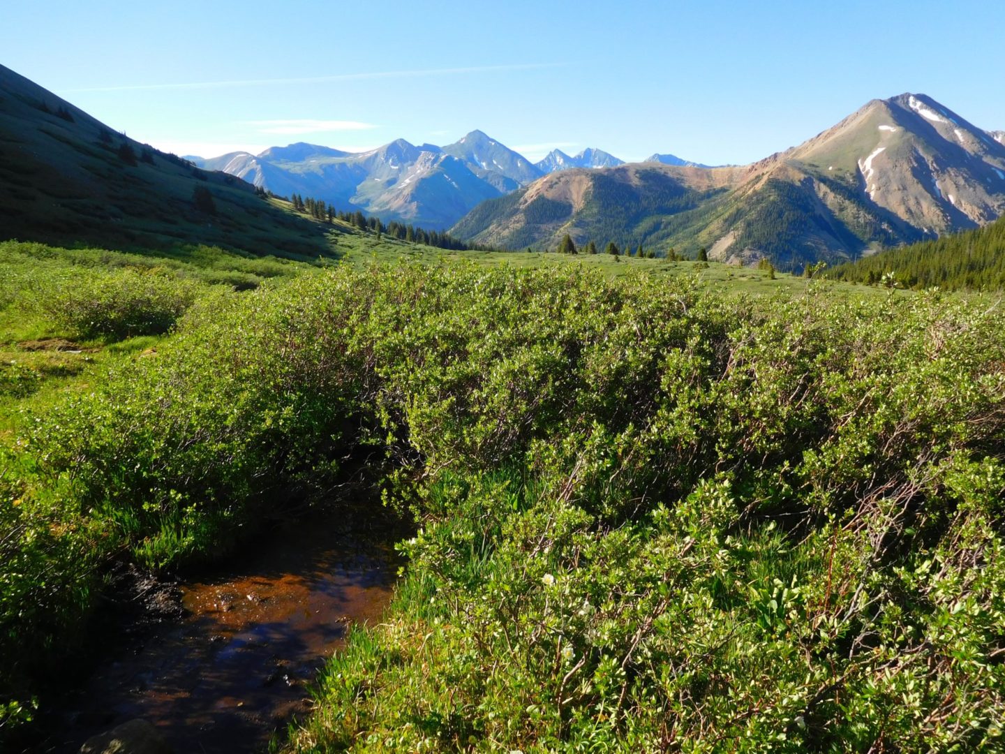
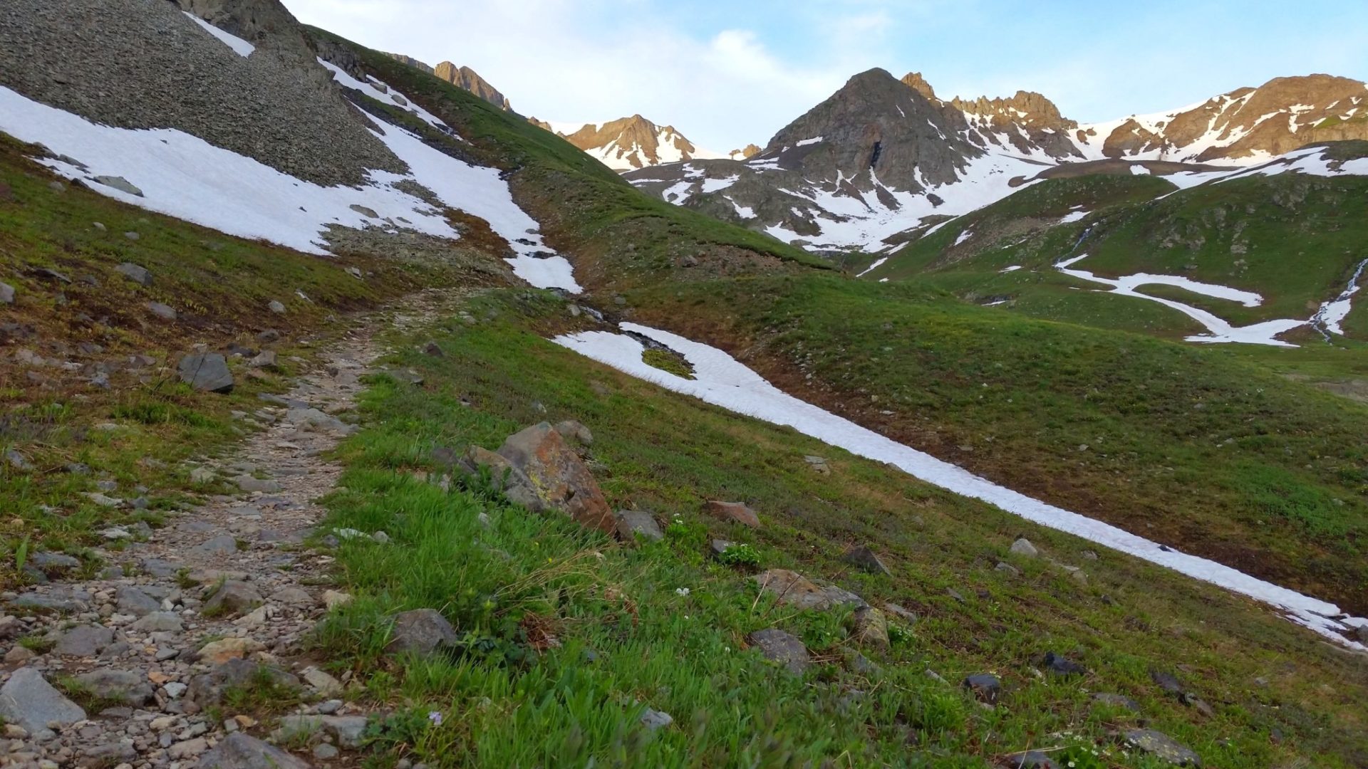
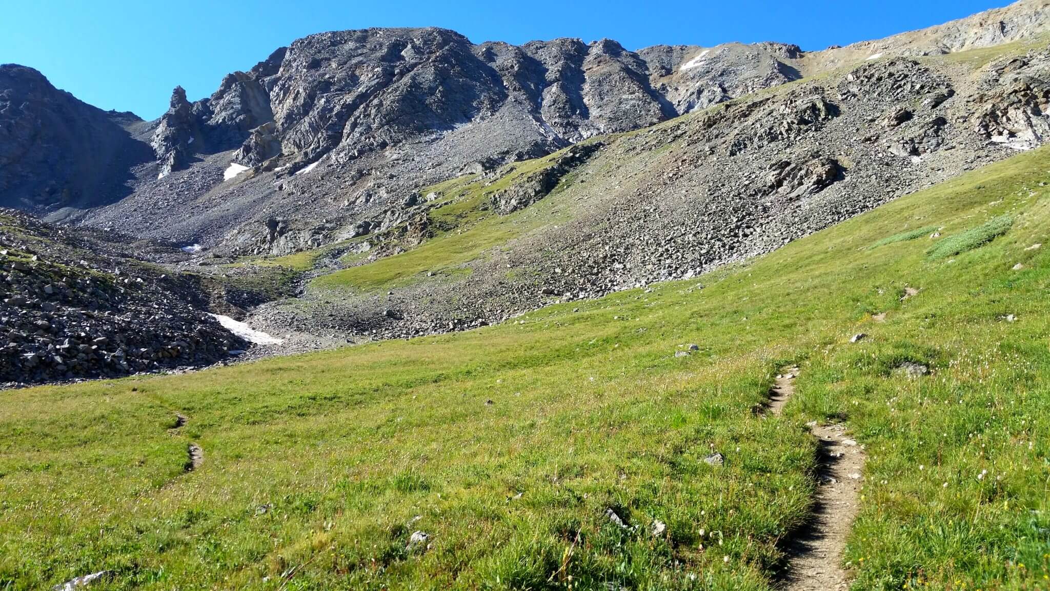
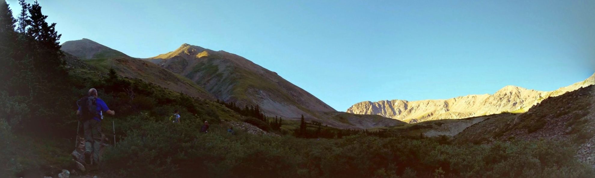
Most of the trail is situated above treeline
Most of the trail is situated above treeline

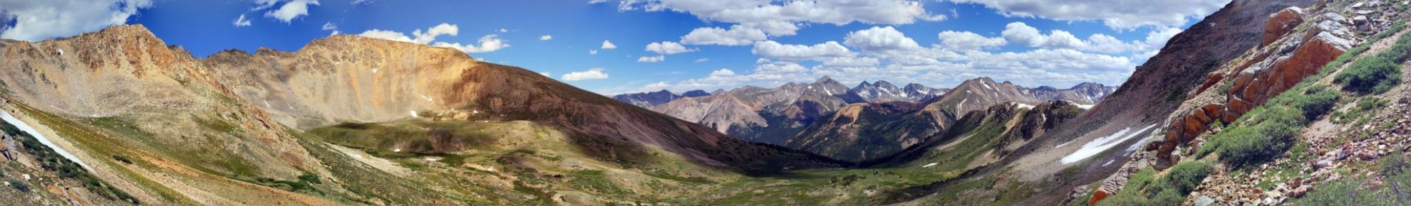
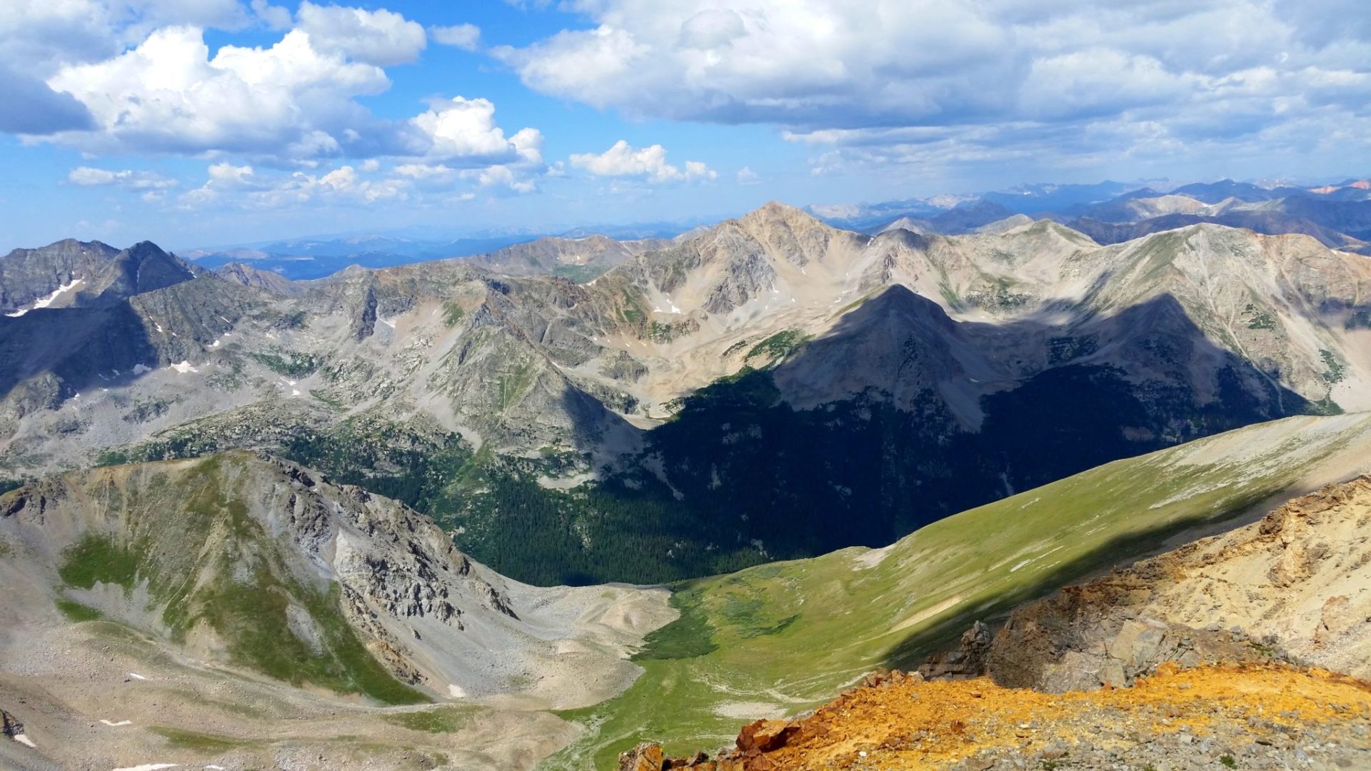
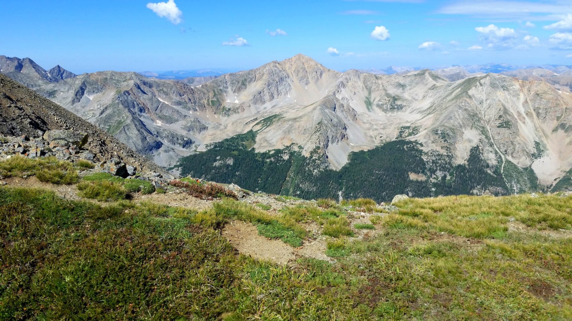
The Never Summer Mountains in the distance
The Never Summer Mountains in the distance
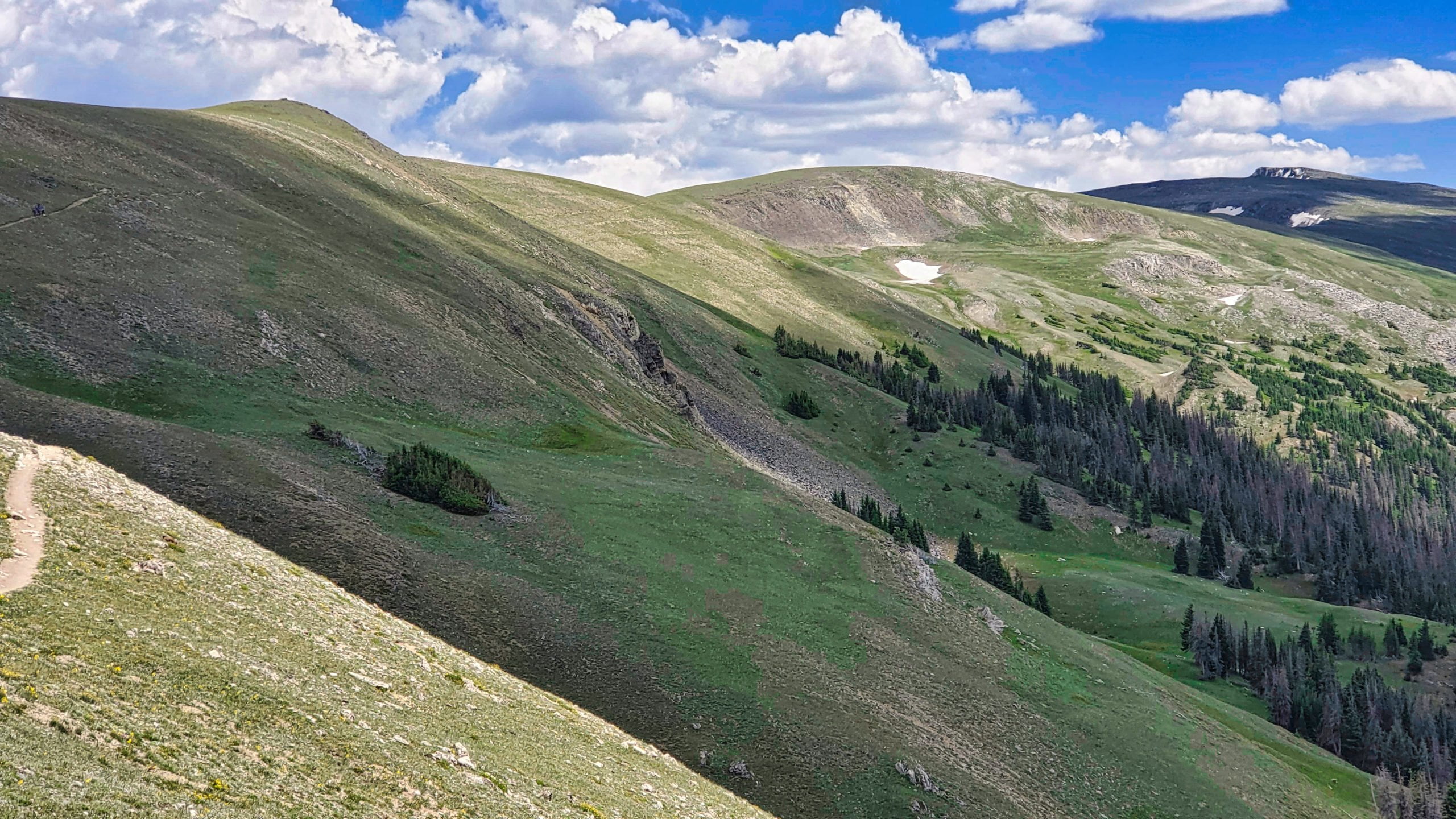
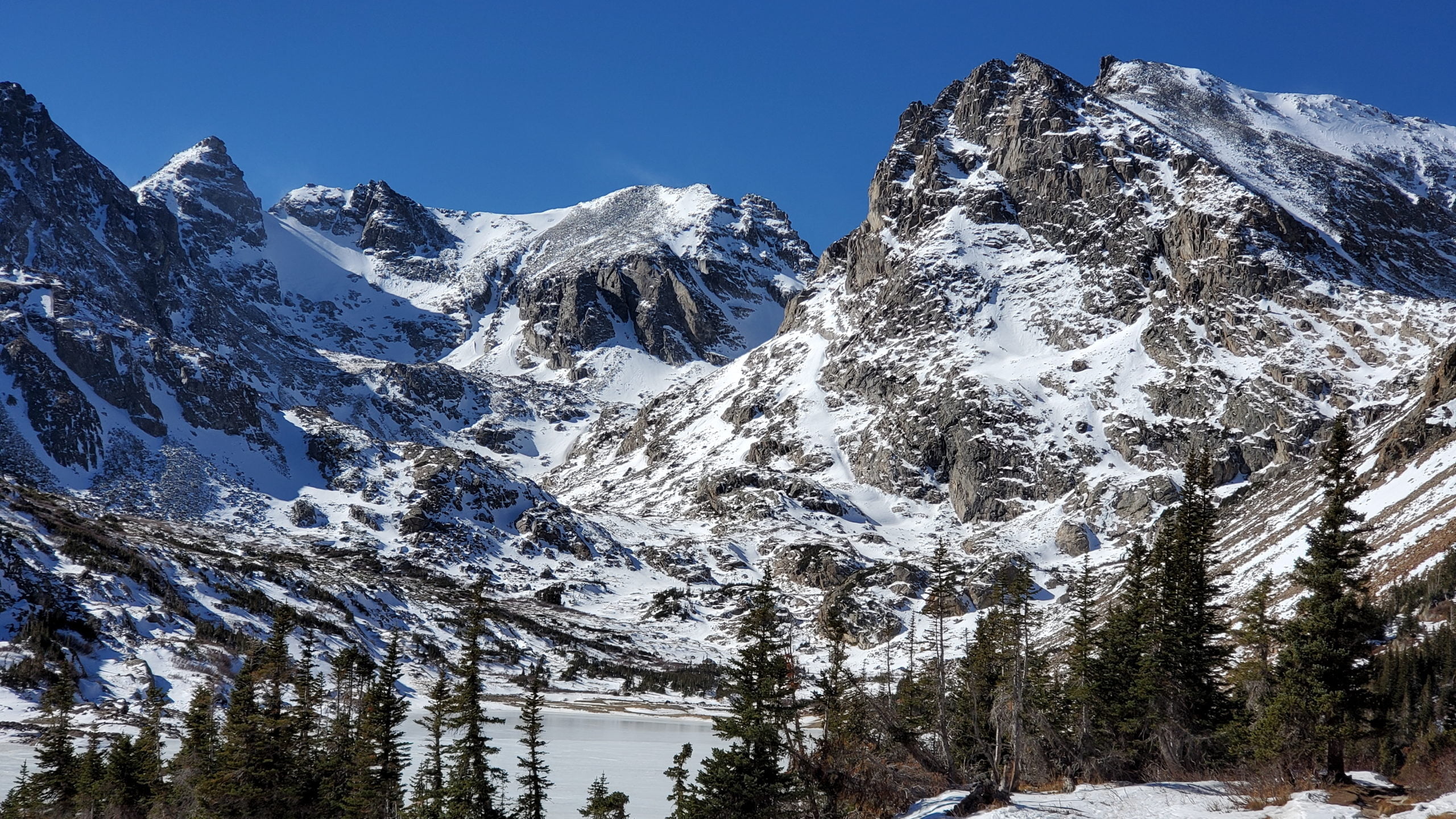
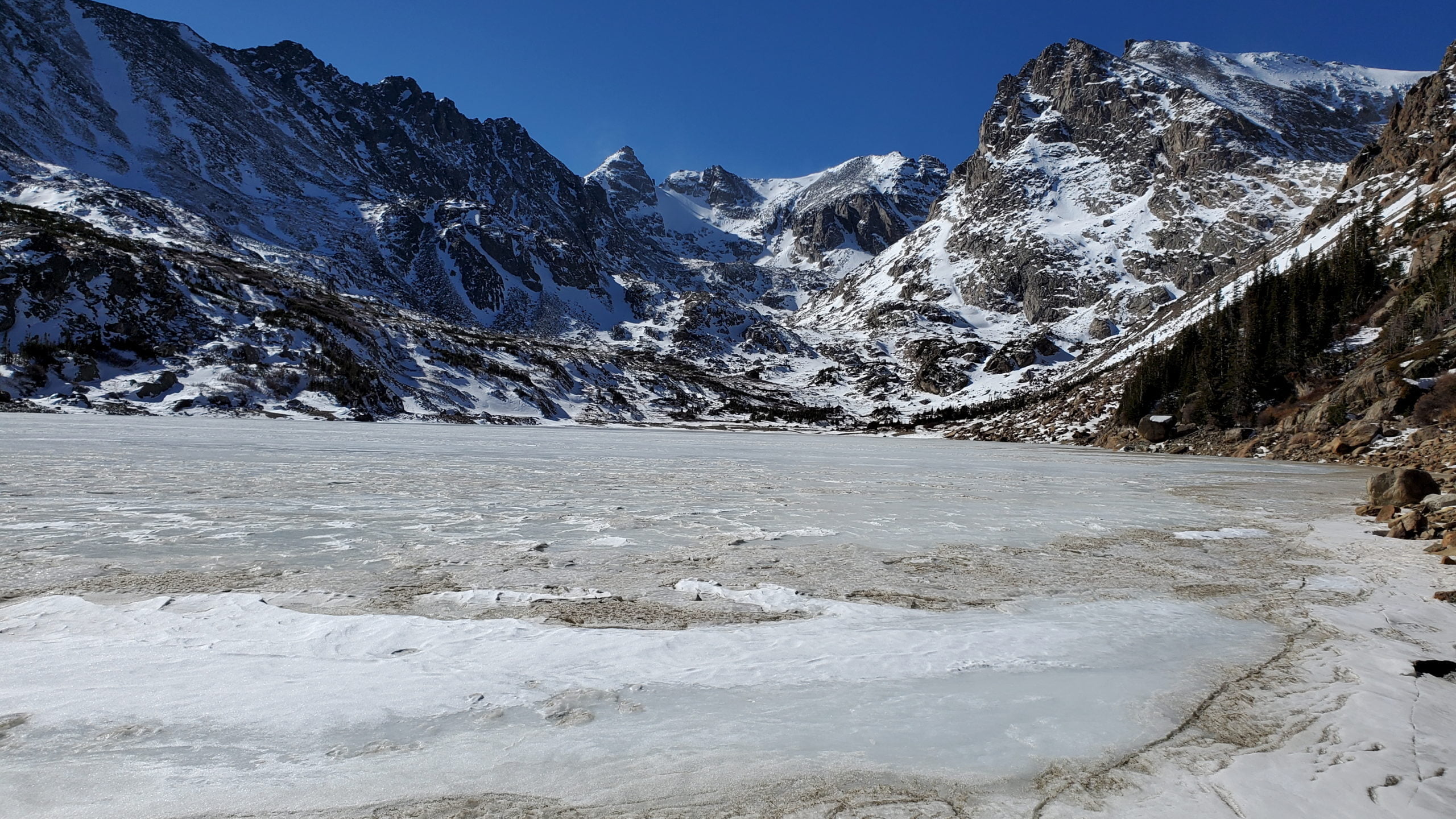
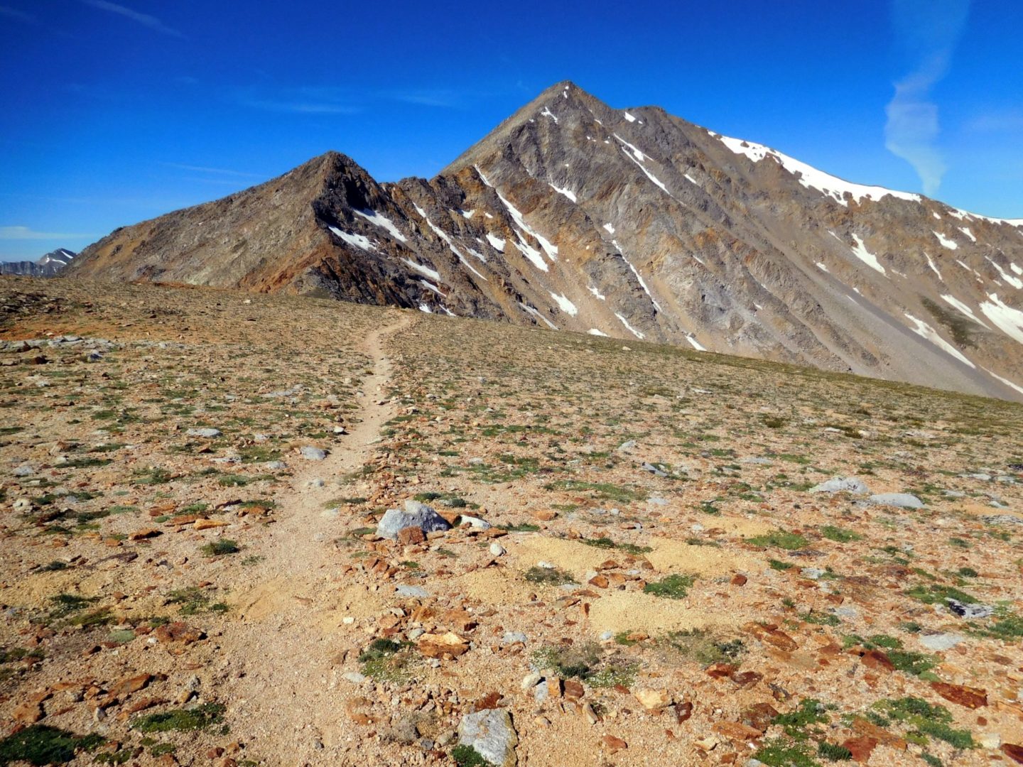
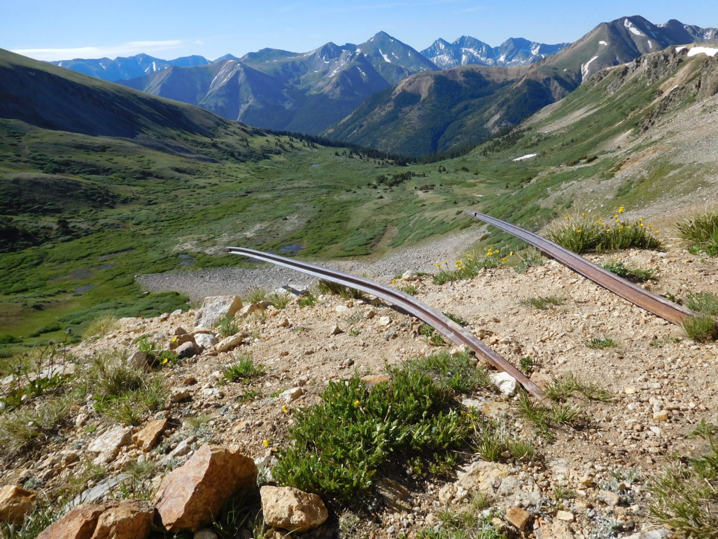
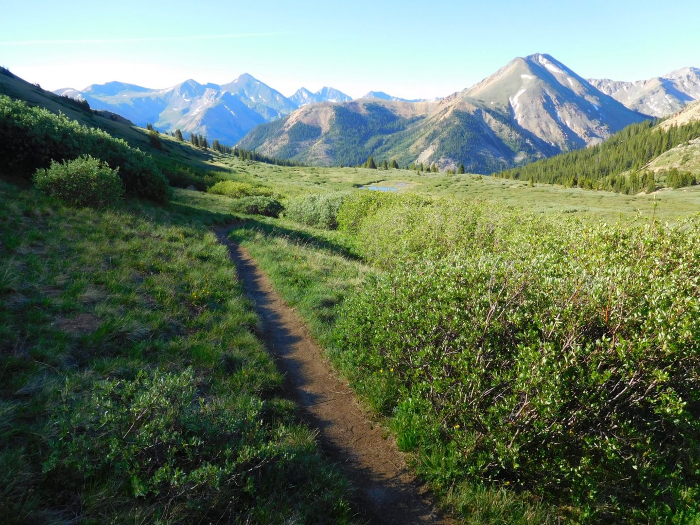
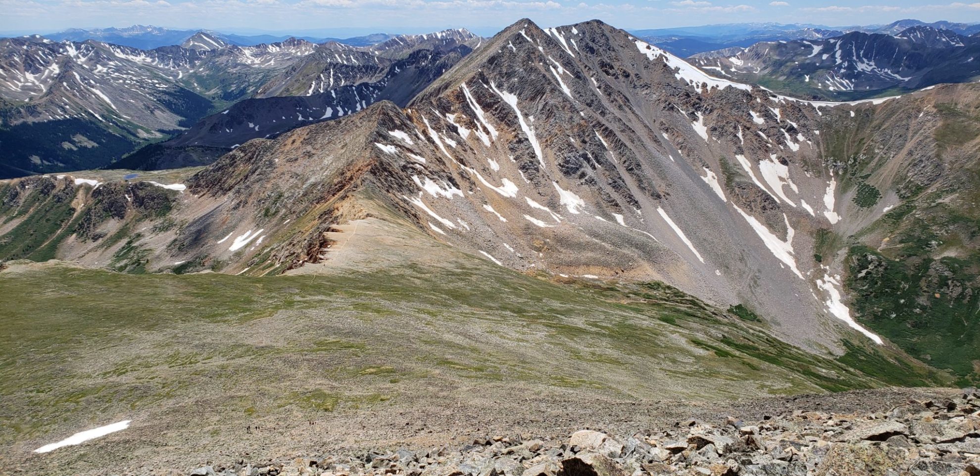
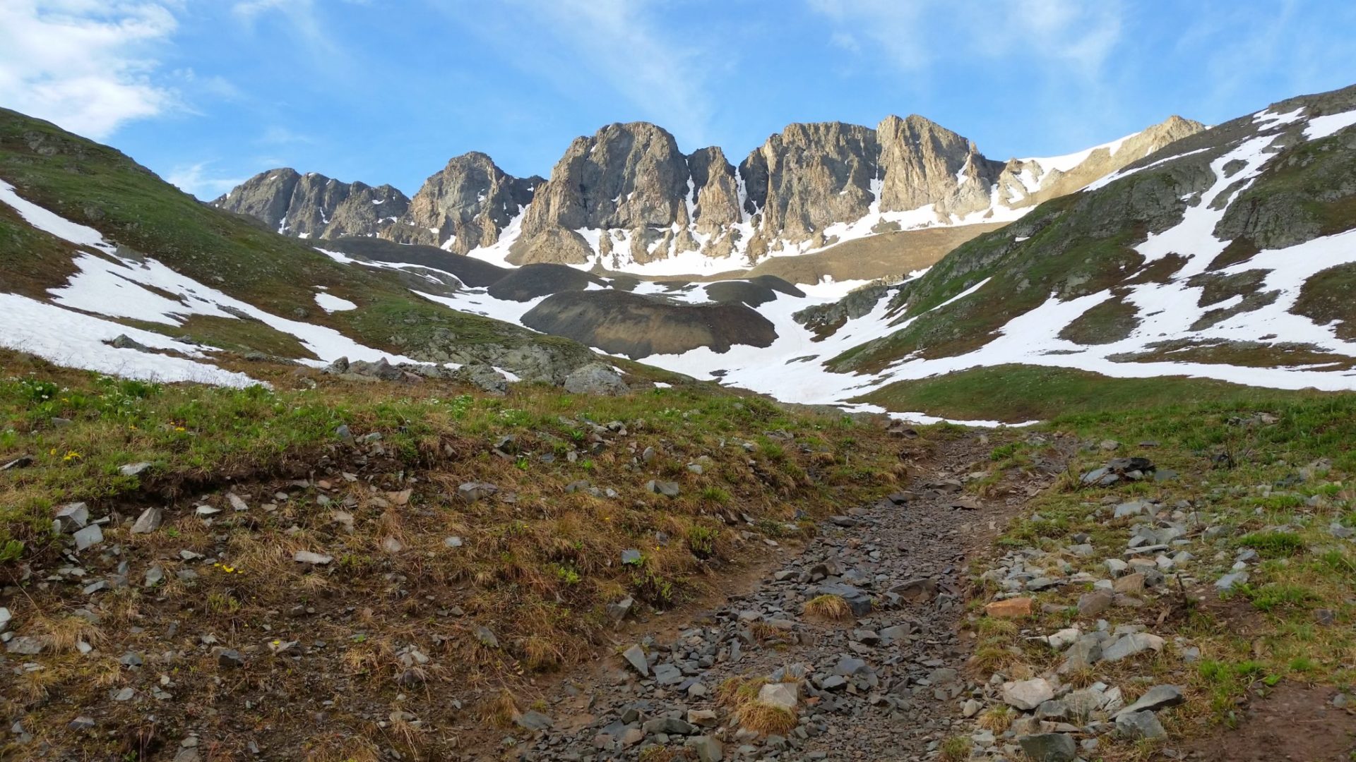
The trail follows the Continental Divide (Mt Ida on right)
The trail follows the Continental Divide (Mt Ida on right)

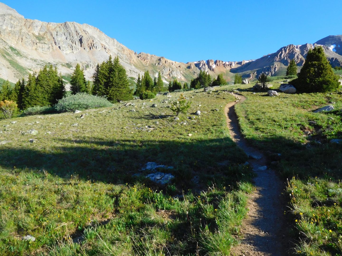
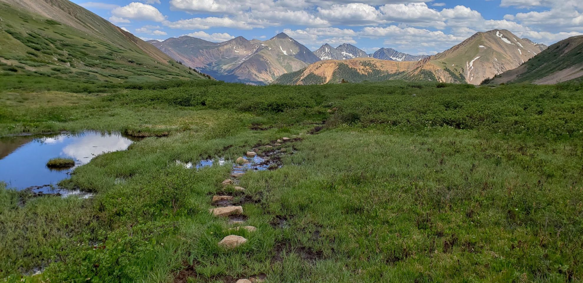
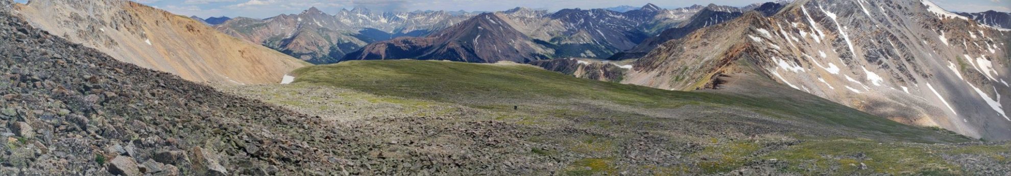
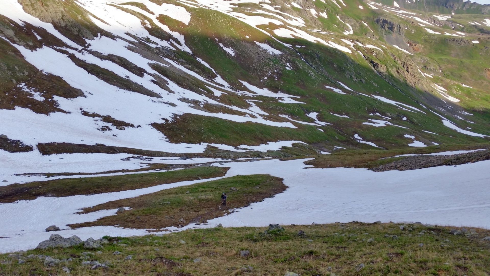
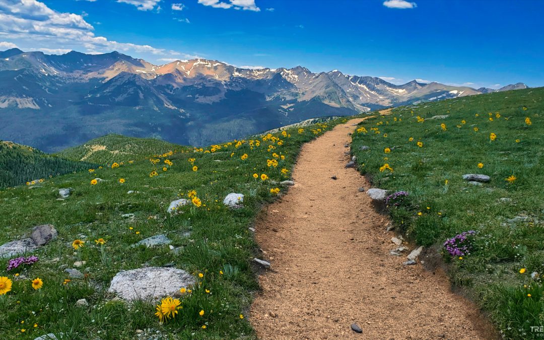
The trail stretch’s off into the distance along the tundra
The trail stretch’s off into the distance along the tundra
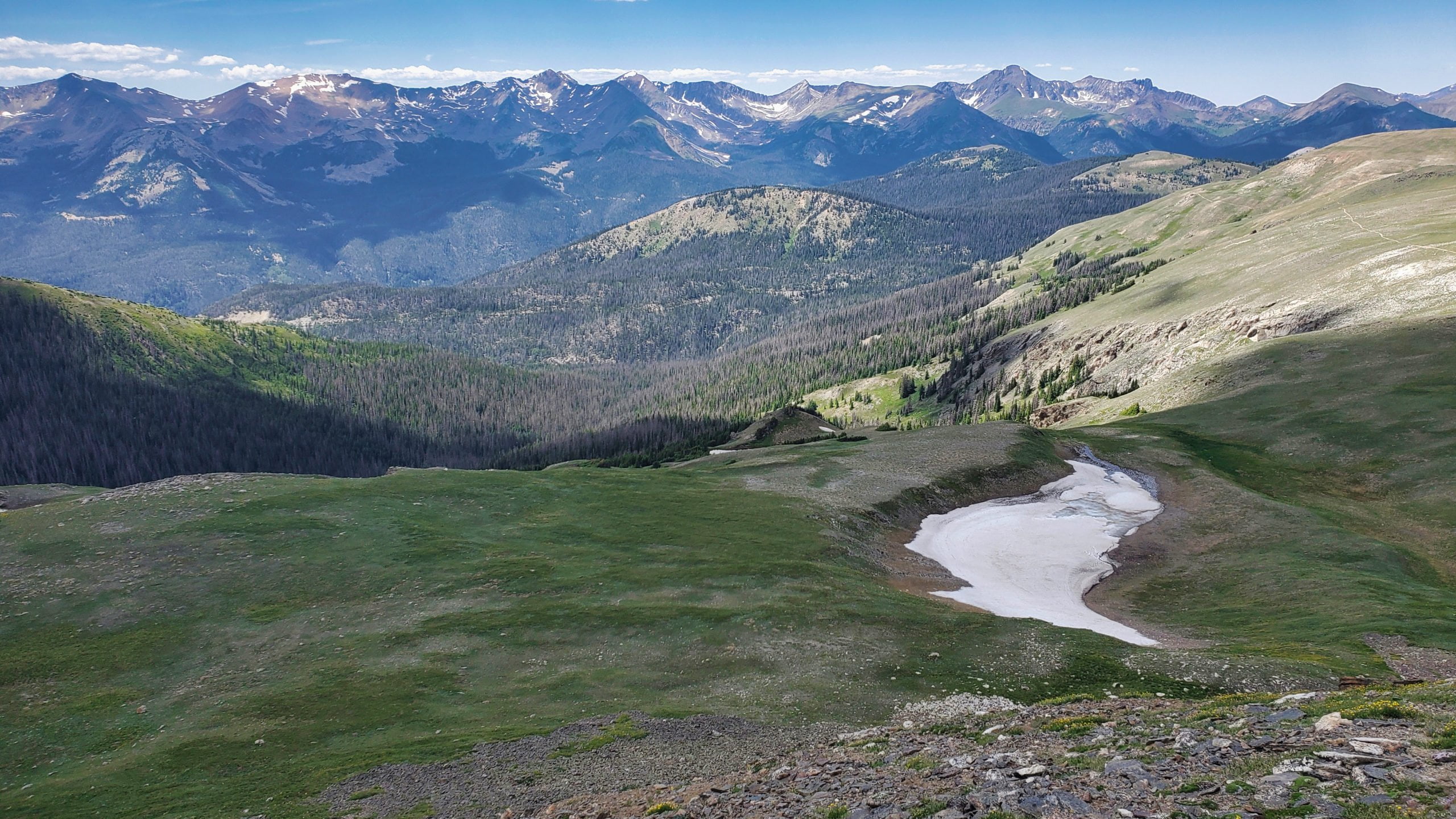
The Never Summer Mountains to the northwest
The Never Summer Mountains to the northwest

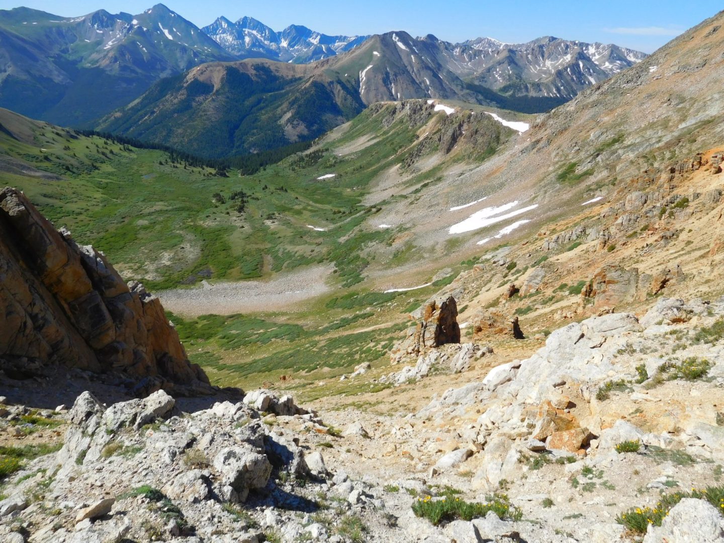
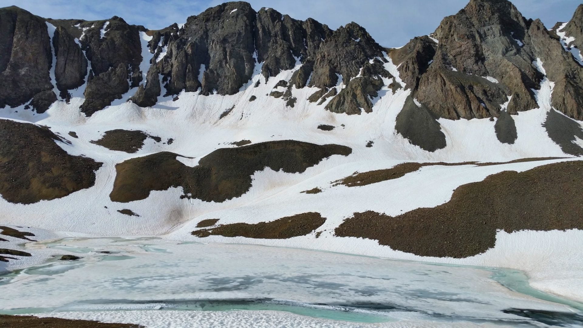
View to the east with unnamed lakes below
View to the east with unnamed lakes below

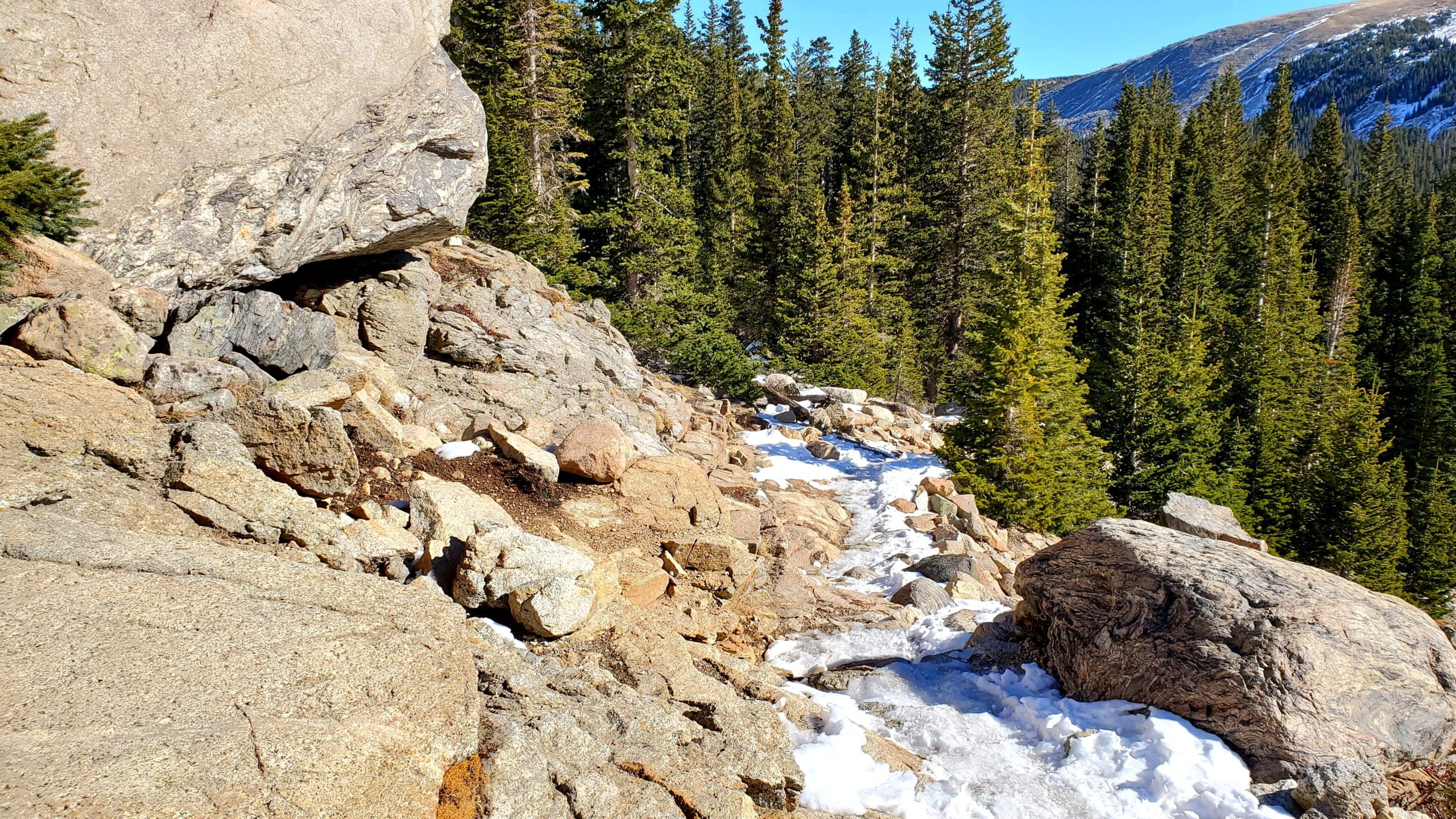
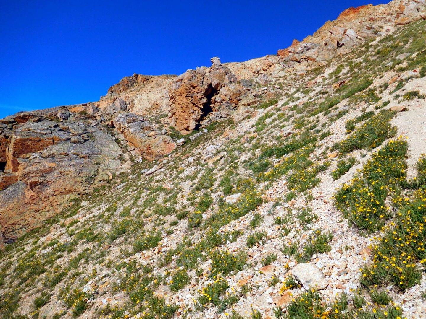
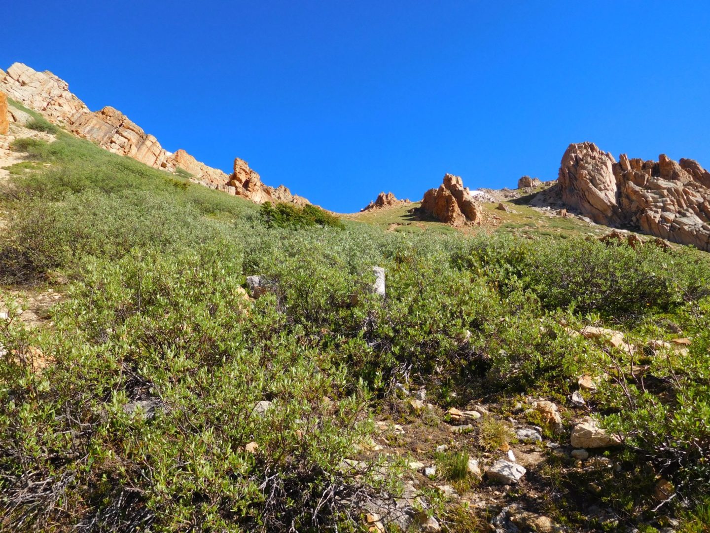
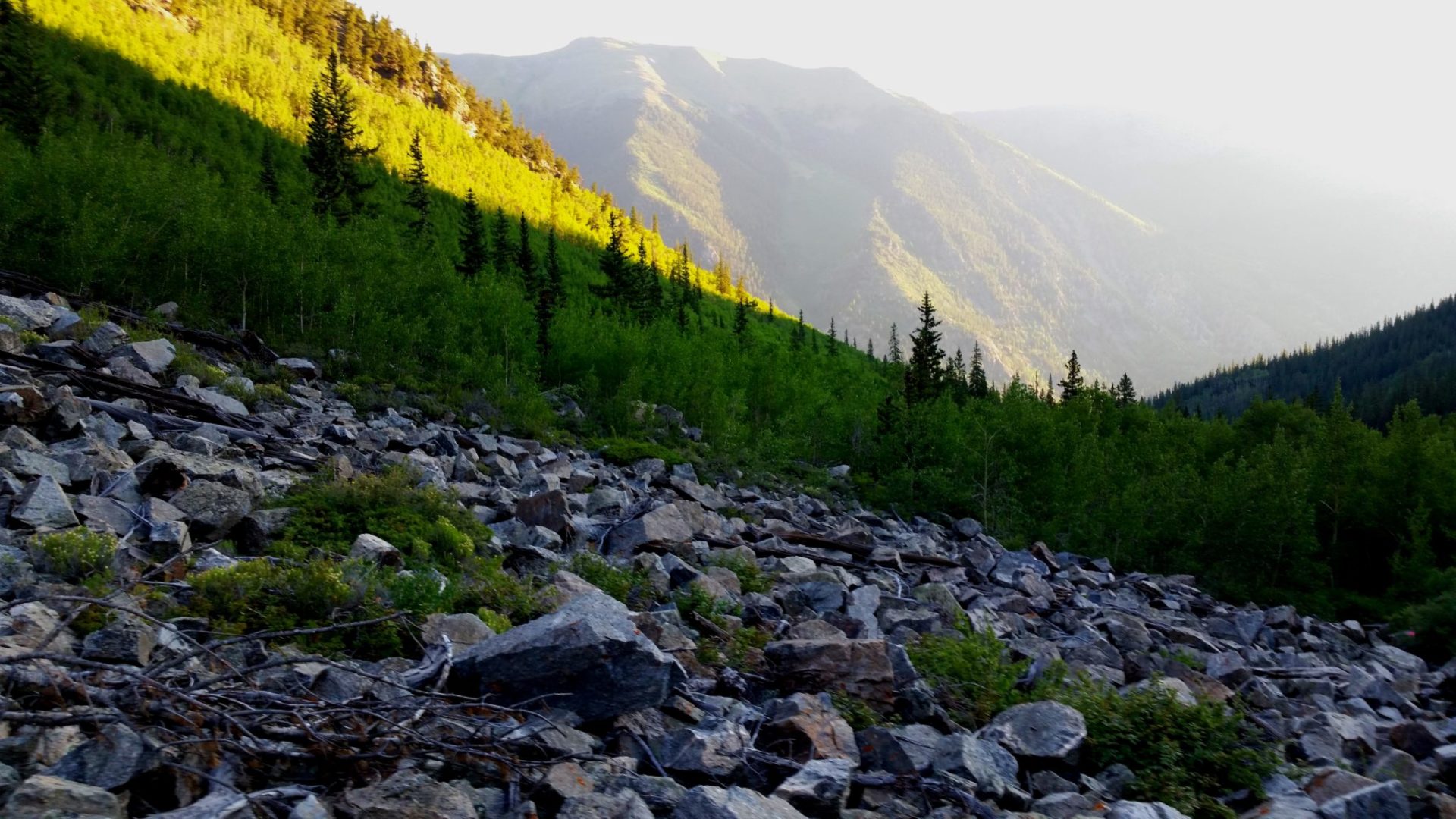
Rock formation on the trail below treeline
Rock formation on the trail below treeline

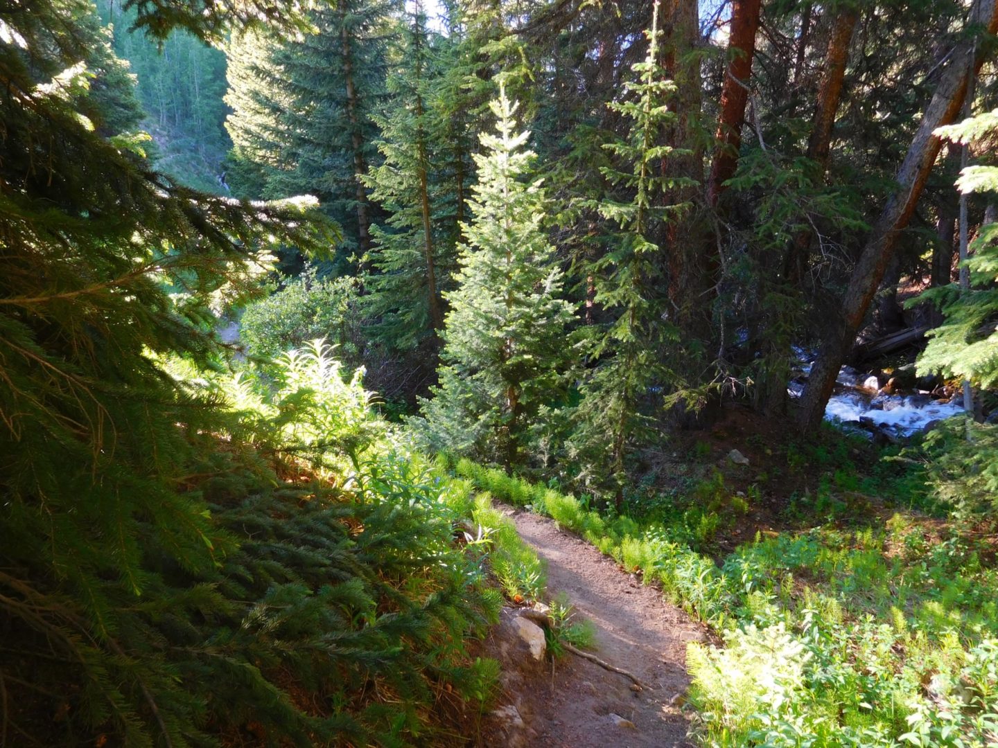
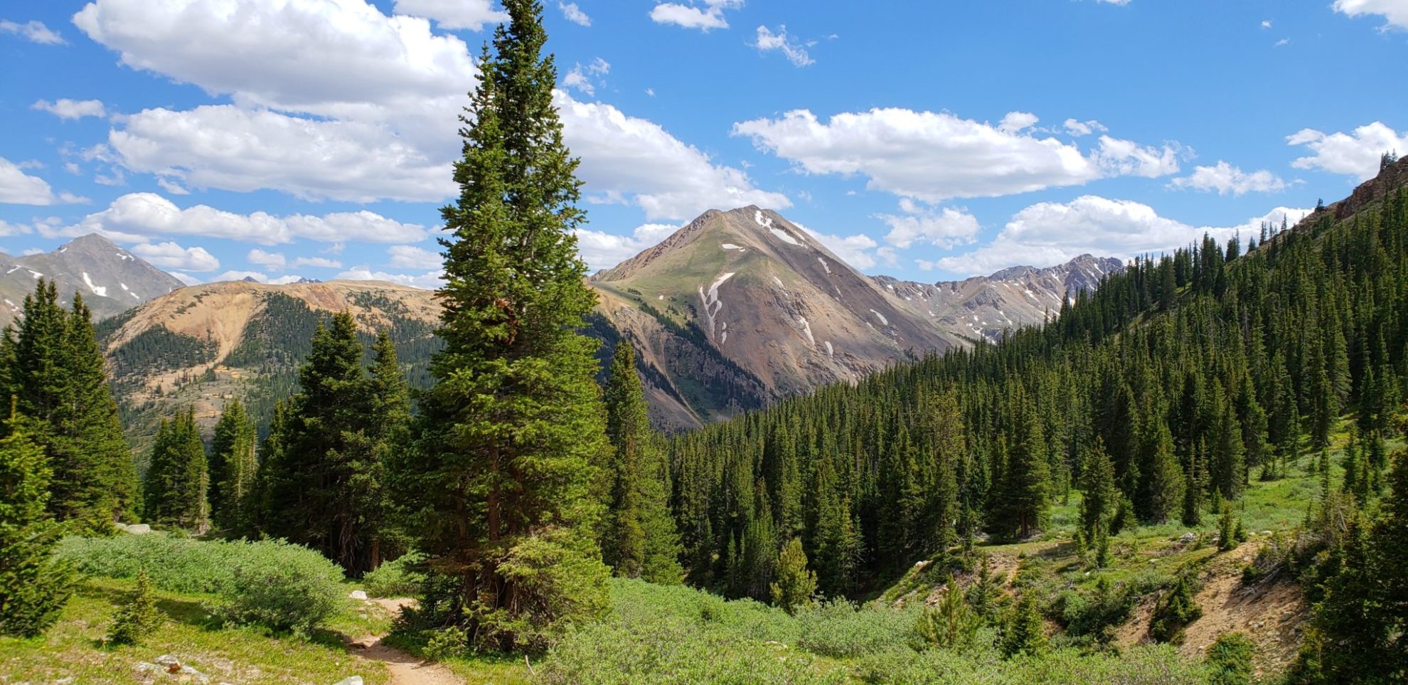
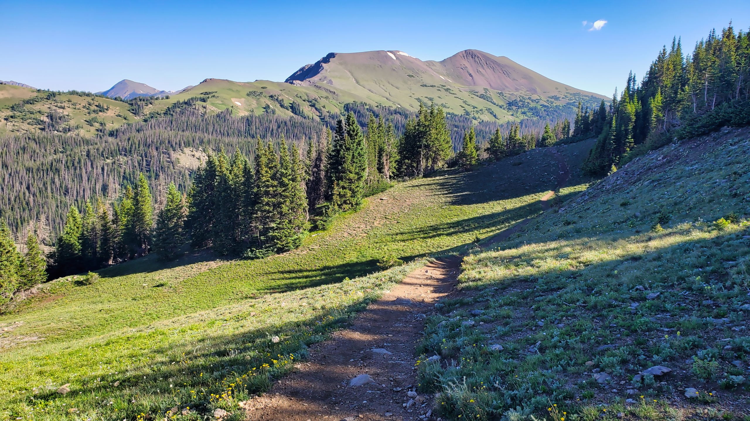
The trail begins/ends in a lush forest
The trail begins/ends in a lush forest

Mt Ida viewed from Trail Ridge Rd. Snowiest peak to the left
Mt Ida viewed from Trail Ridge Rd. Snowiest peak to the left
GPX with Elevation
Video Tour
Trail Directions
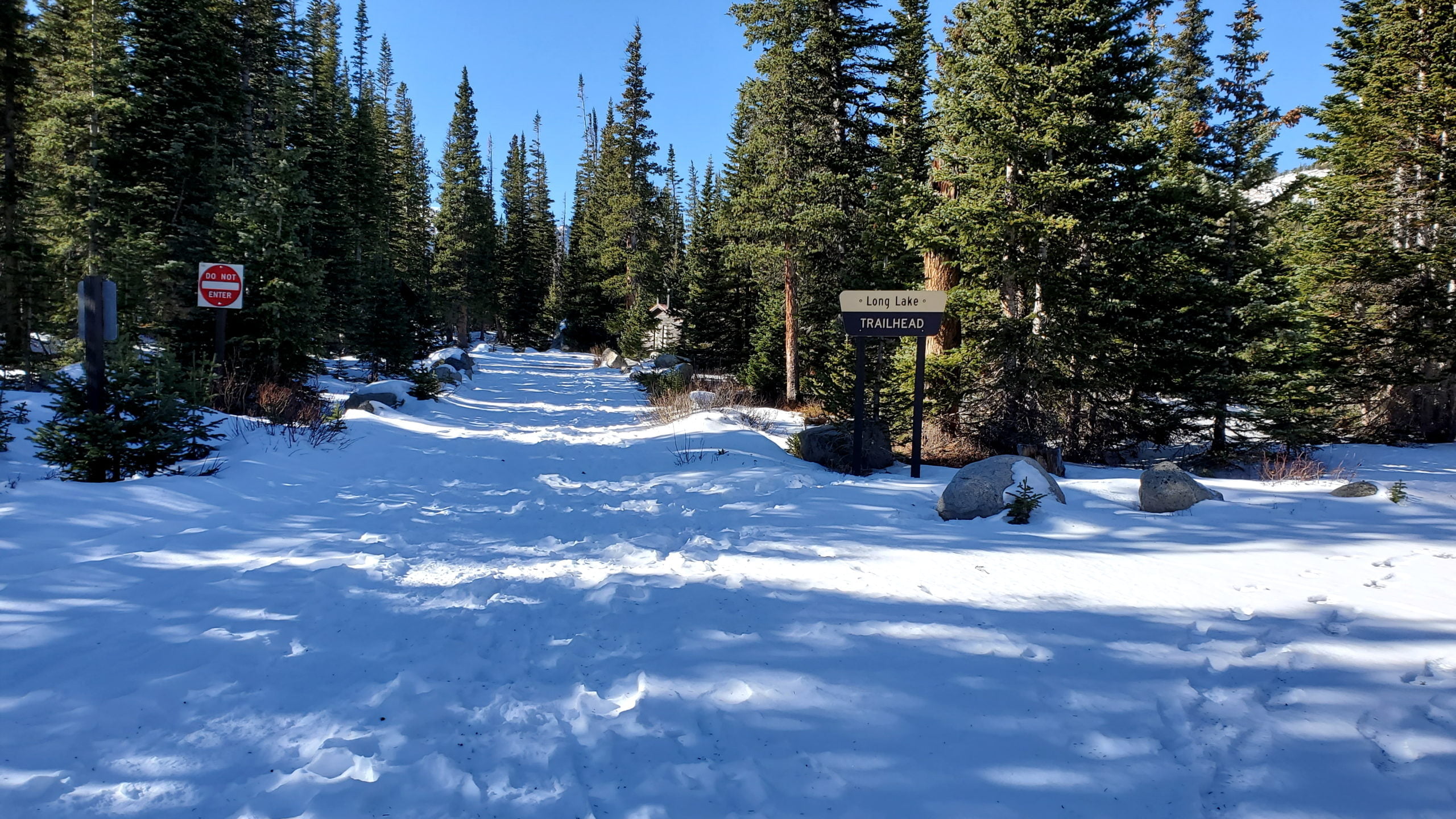
Start from Poudre Lake Trailhead at Milner Pass (Continental Divide) and head northeast toward Poudre Lake. Hike past the southern shore of Poudre Lake and follow steep switchbacks through the forest. Keep to the right and follow the sign at the first junction. Ascend up a deep forest, heading to the western side of the ridge as you make your way to tree line.
Once above tree line, the views of The Never Summer mountains to the northwest are incredible. Continue over intermittently steep slopes and flat trail. Eventually boulder fields will begin to appear, so it may be tricky to find a steady trail to the top. Stay to the right on the way up to avoid the more difficult sections and the cliffs. The summit provides beautiful 360 degree views of Rocky Mountain National Park.
Trailhead Directions