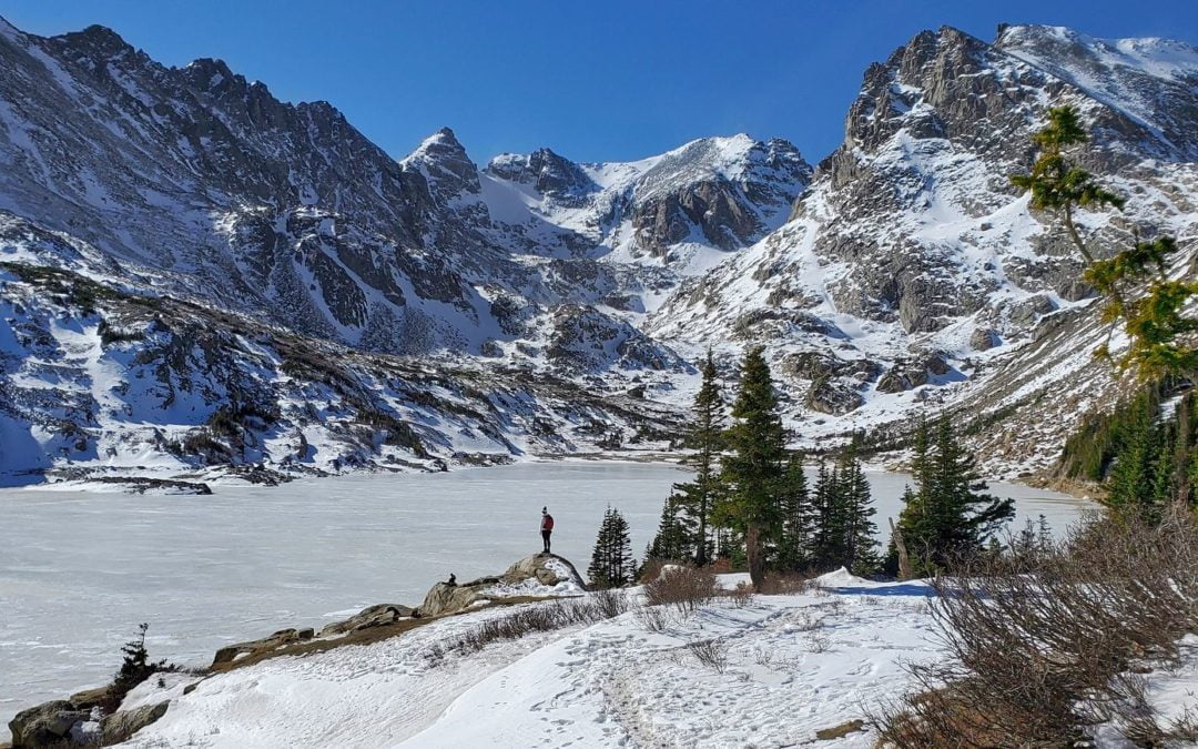
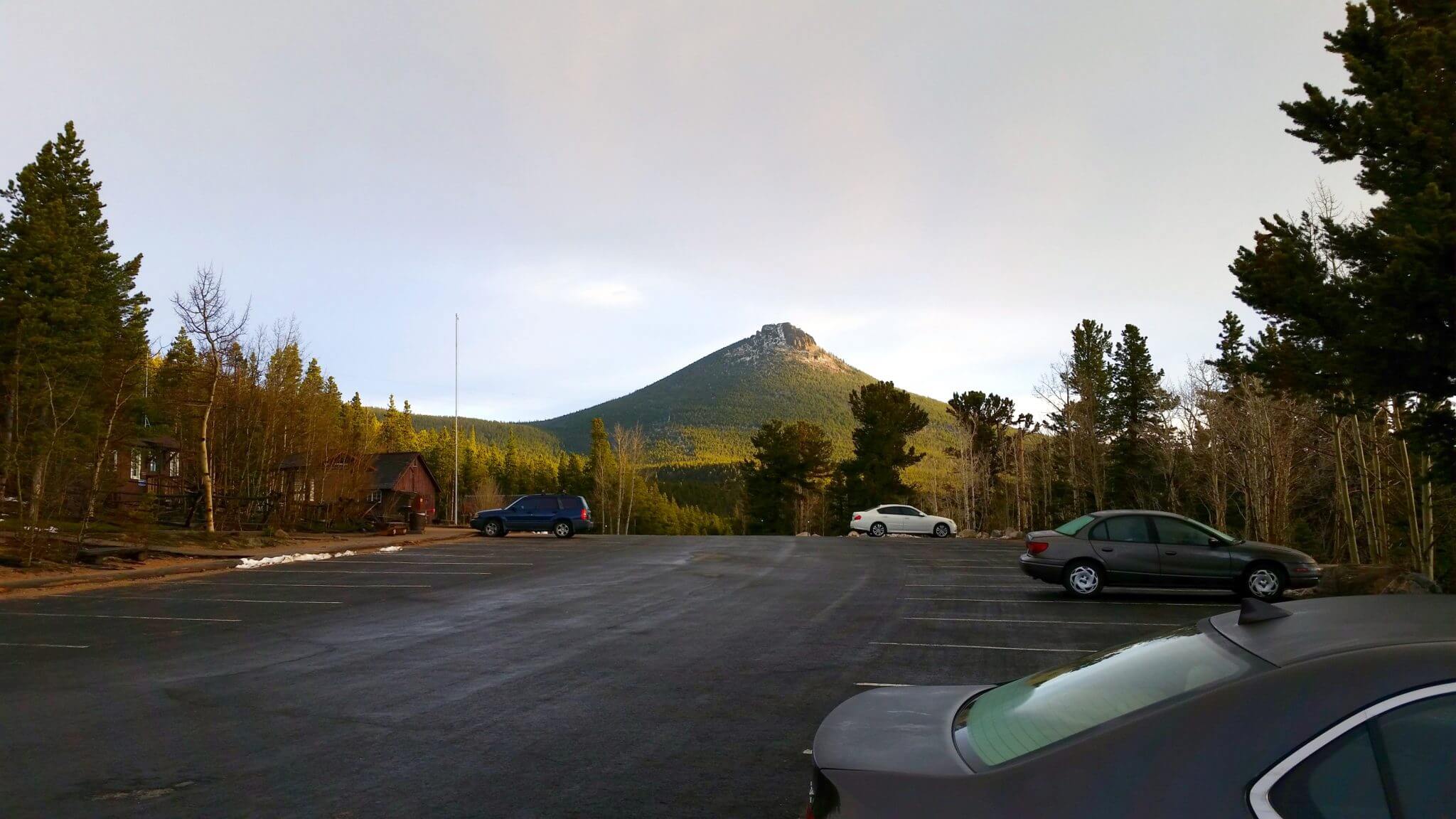
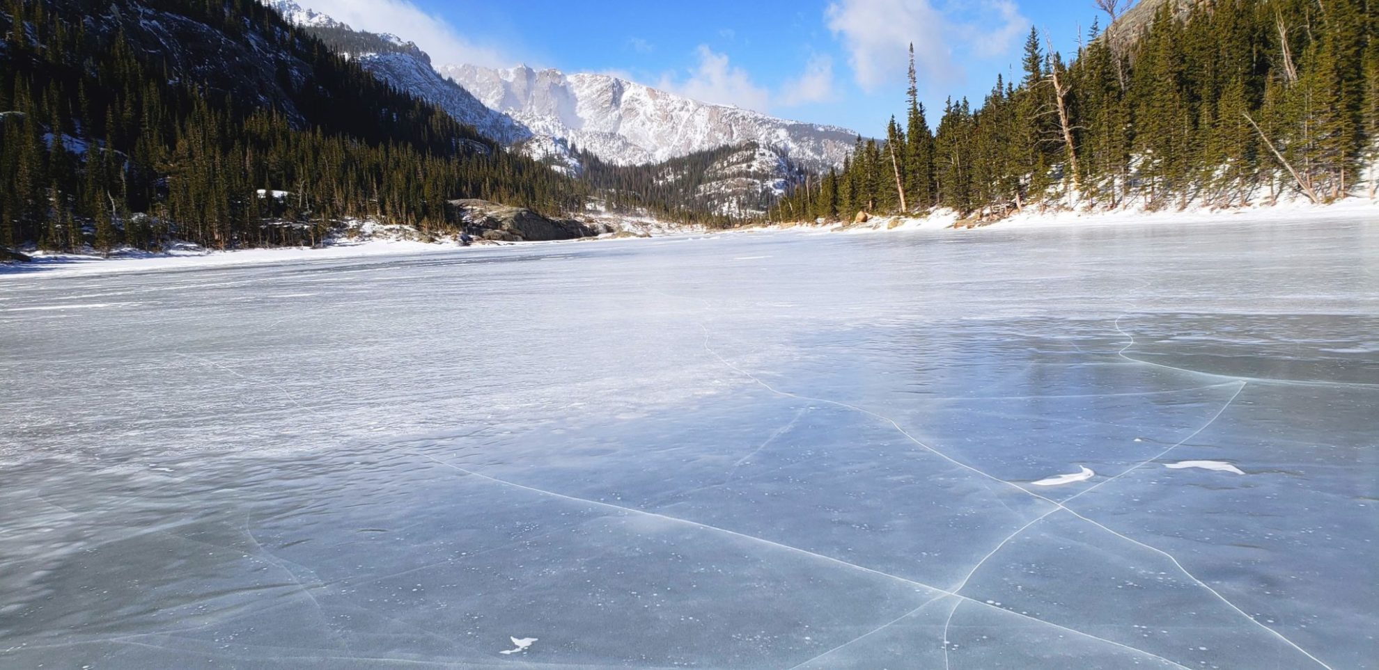
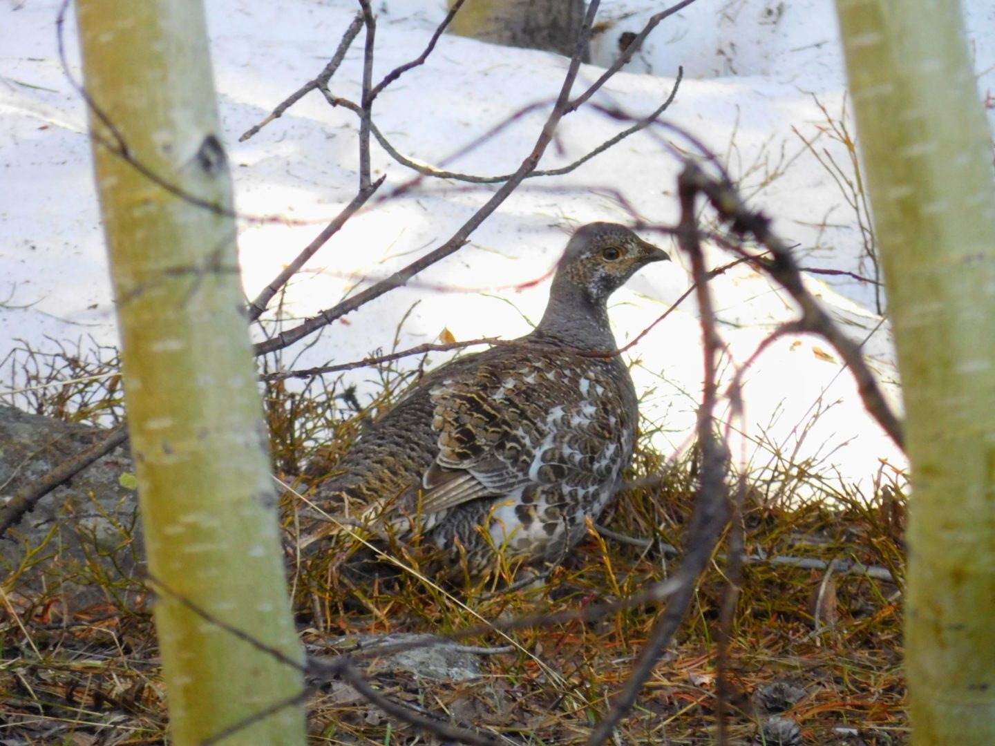
Lost Lake is an alpine lake surrounded by the majestic mountains of the Indian Peaks Wilderness. It’s a perfect destination for a day trip. The lake’s crystal-clear waters are a popular spot for fly fishing. Keep an eye out for a glimpse of moose, which are commonly seen along the trail
Lost Lake is located just outside of the Indian Peaks Wilderness Area, therefore, wilderness regulations do not apply. You may camp without a permit in one of the established camping spots. You may also bring your dog, a leash is required.
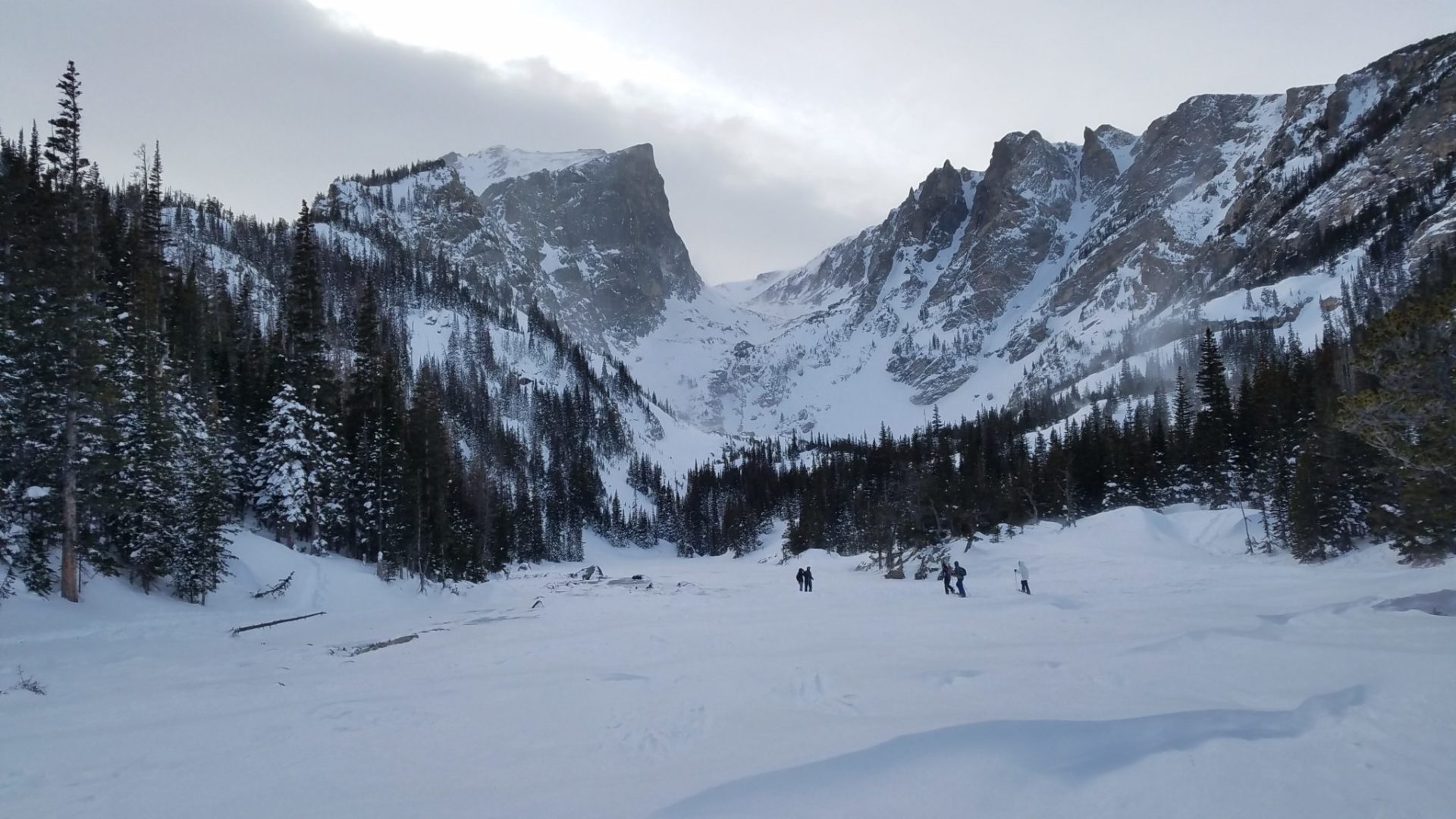
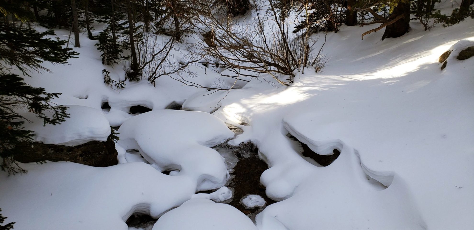
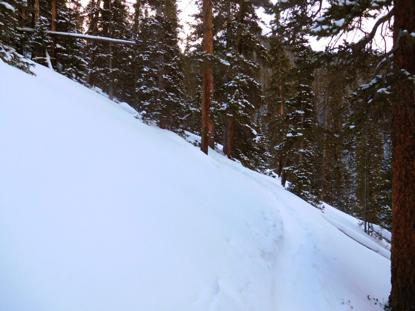
Deep snow covering a bridge, with only a handrail visible.
Deep snow covering a bridge, with only a handrail visible.
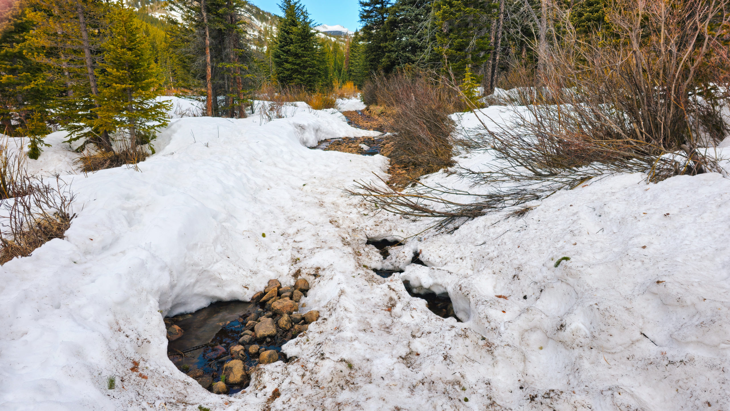
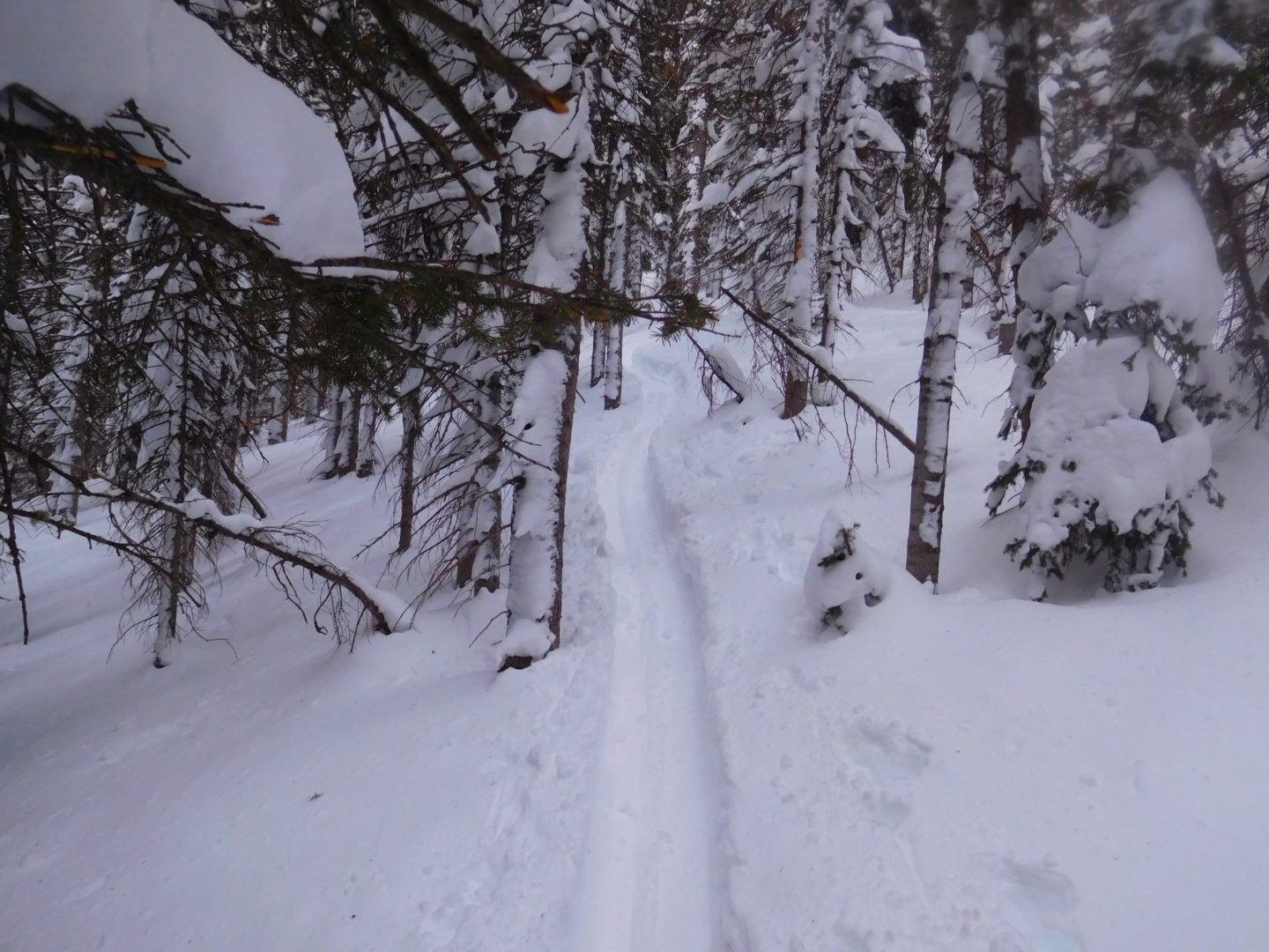
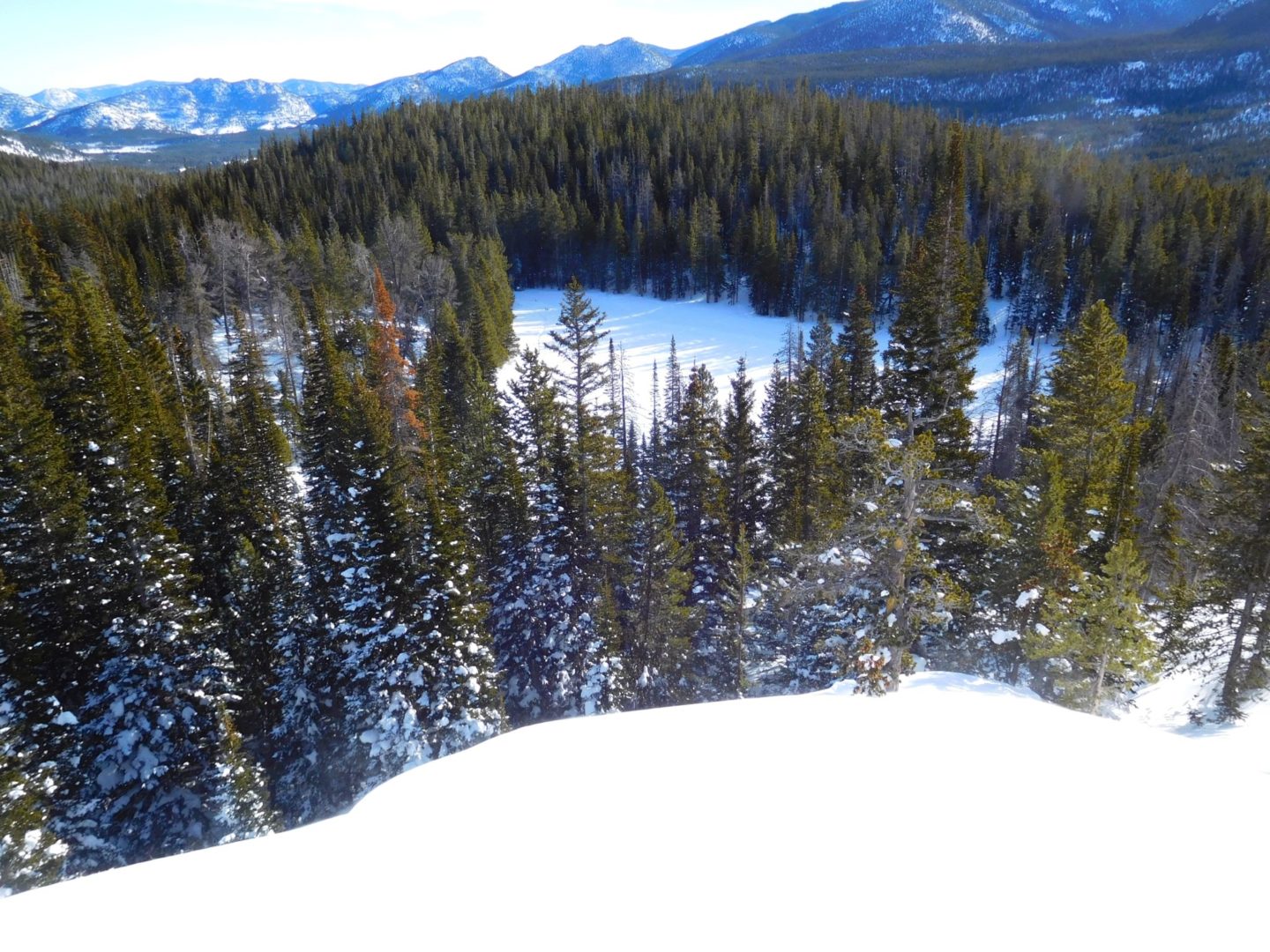
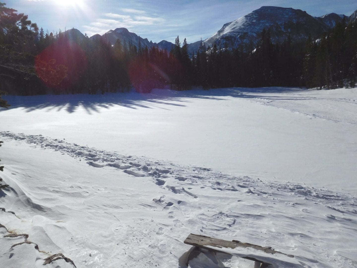
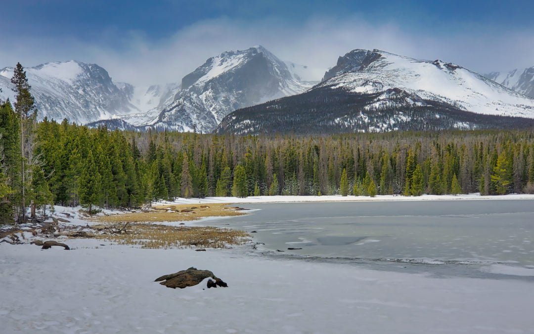
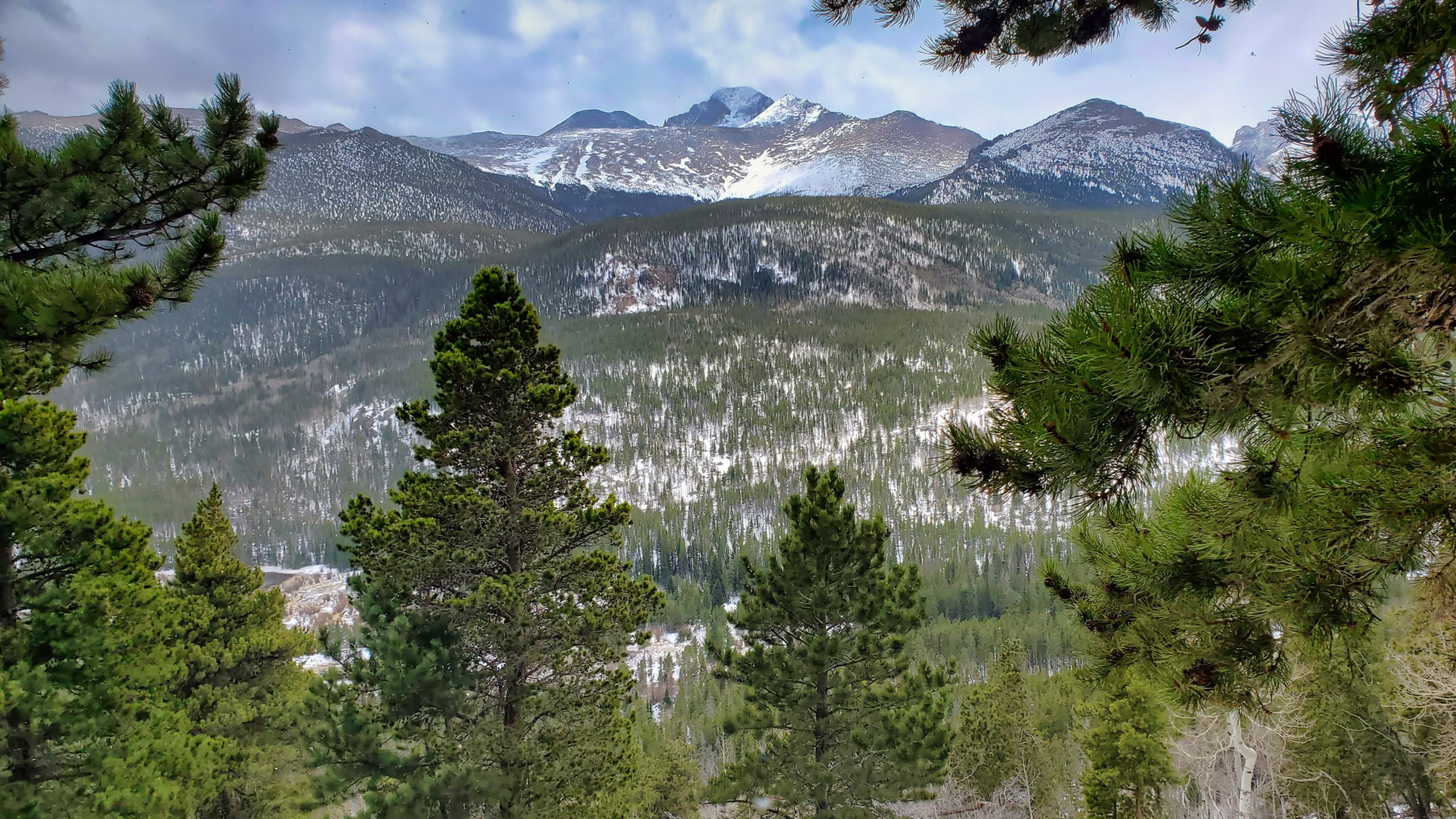
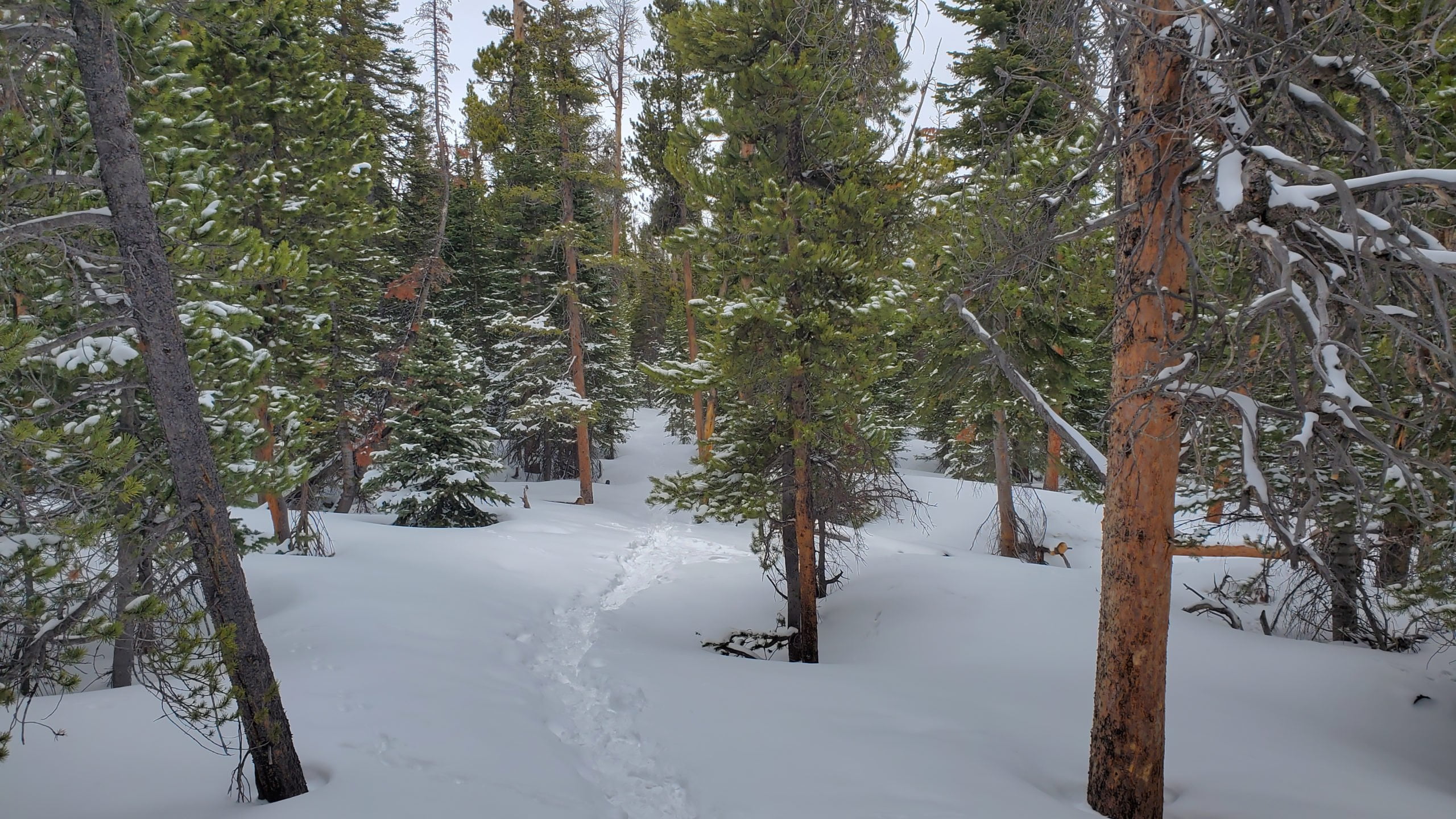
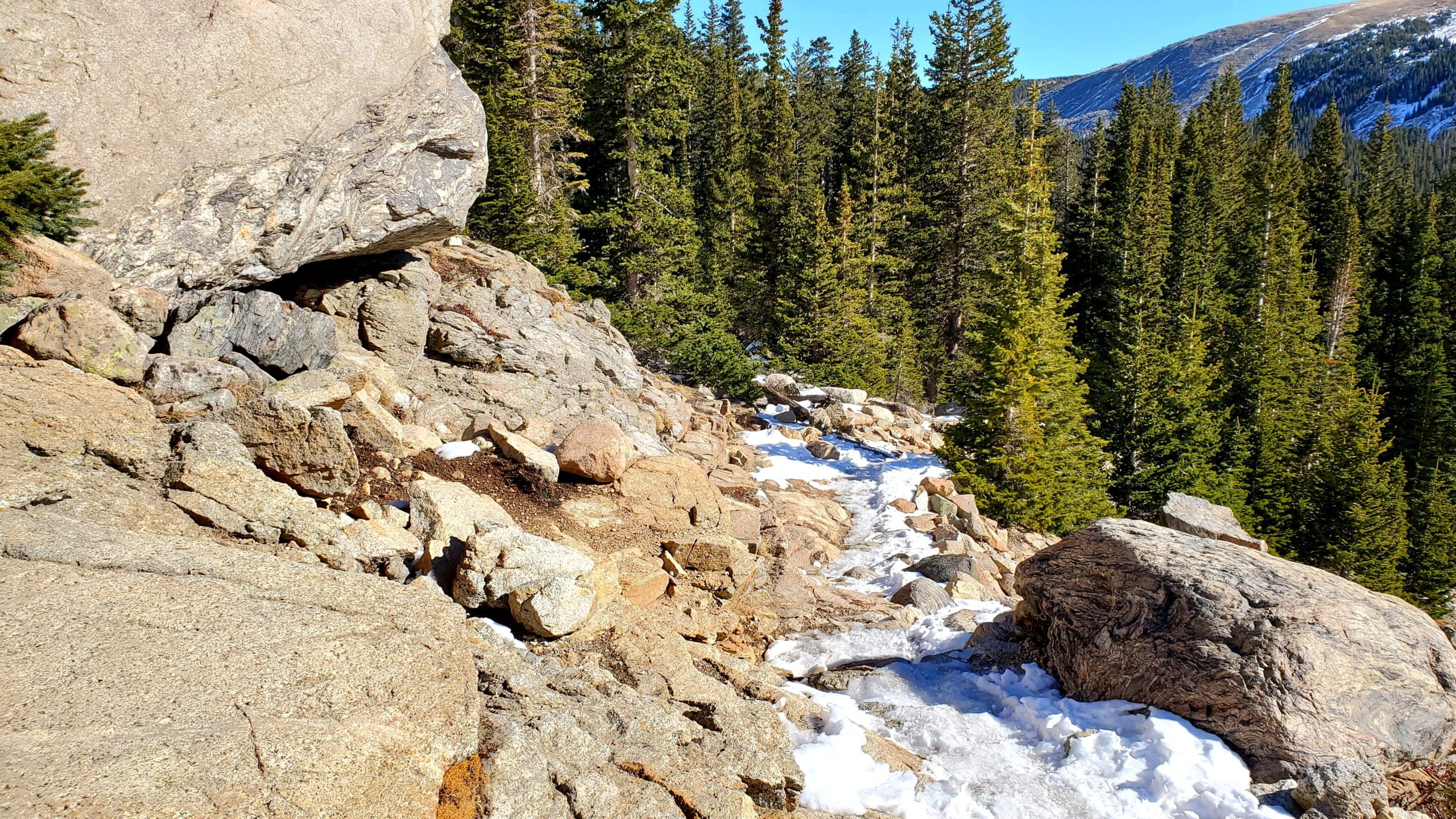
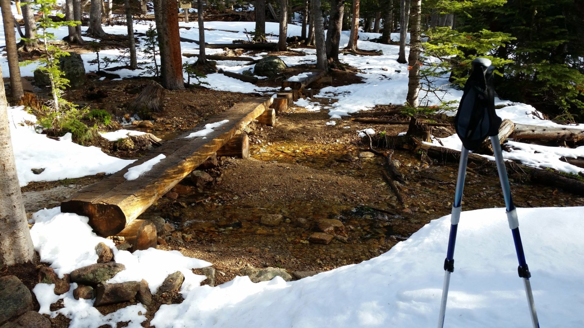
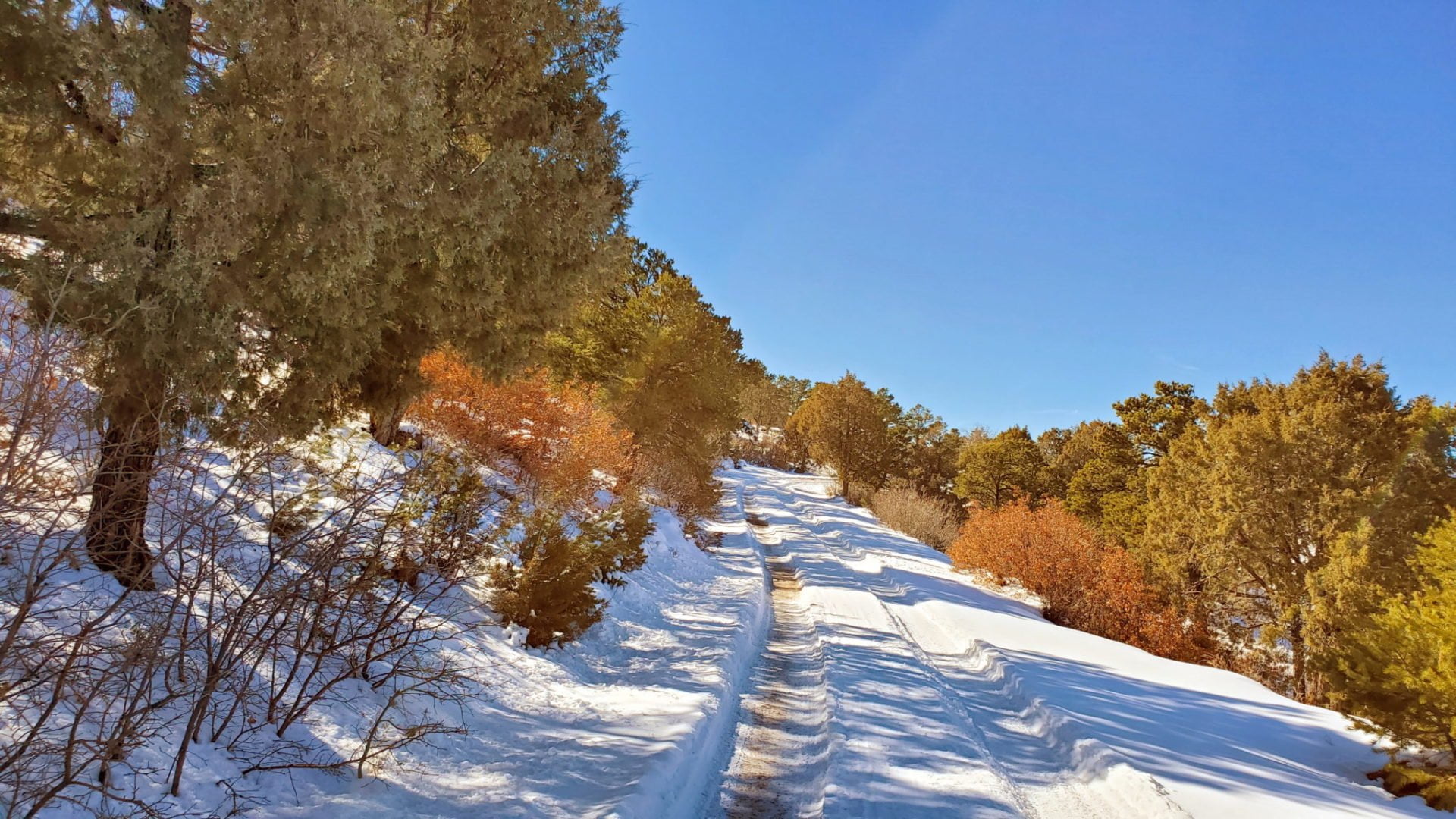
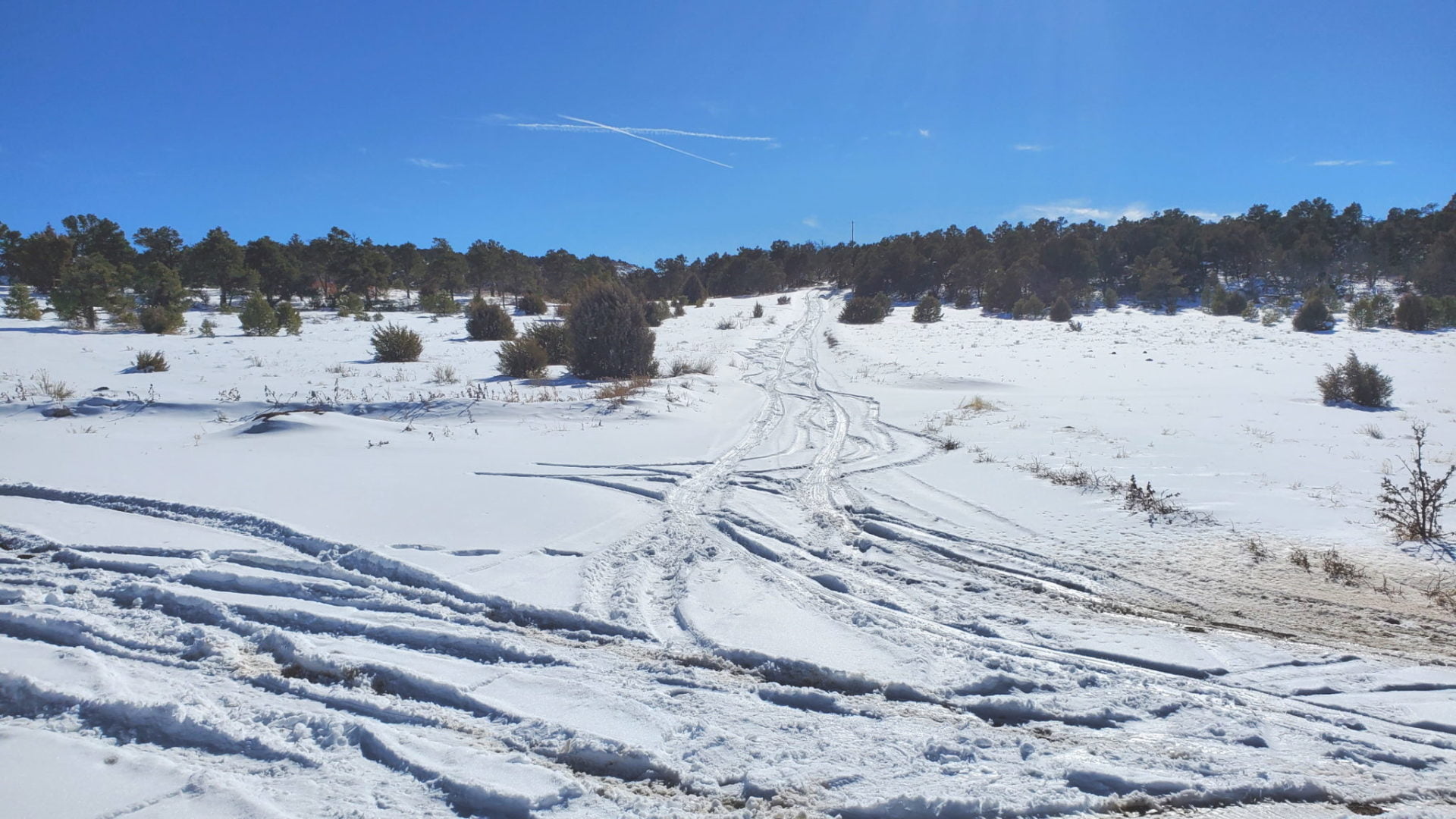
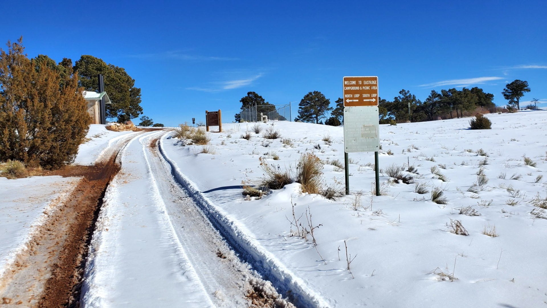
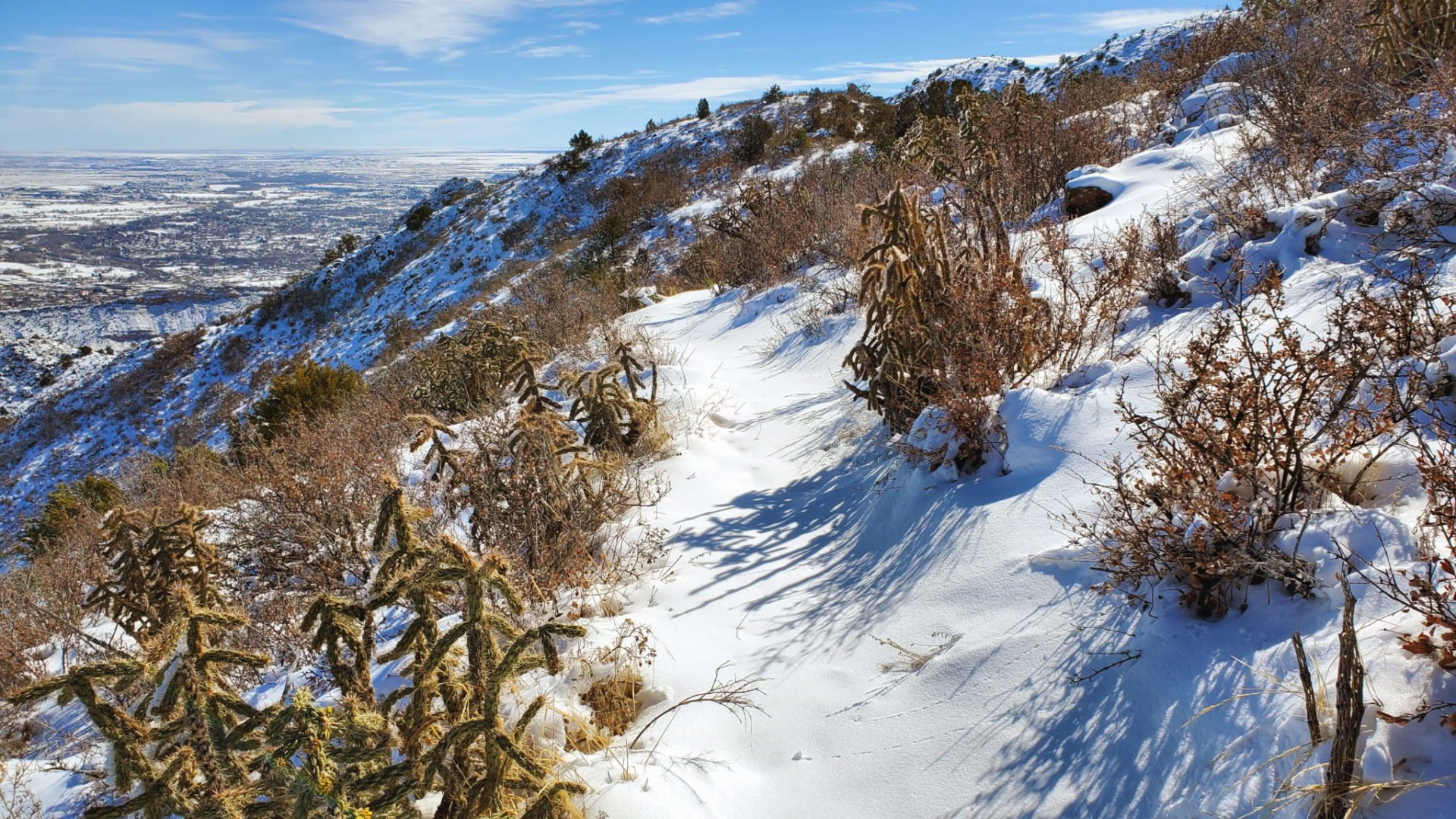
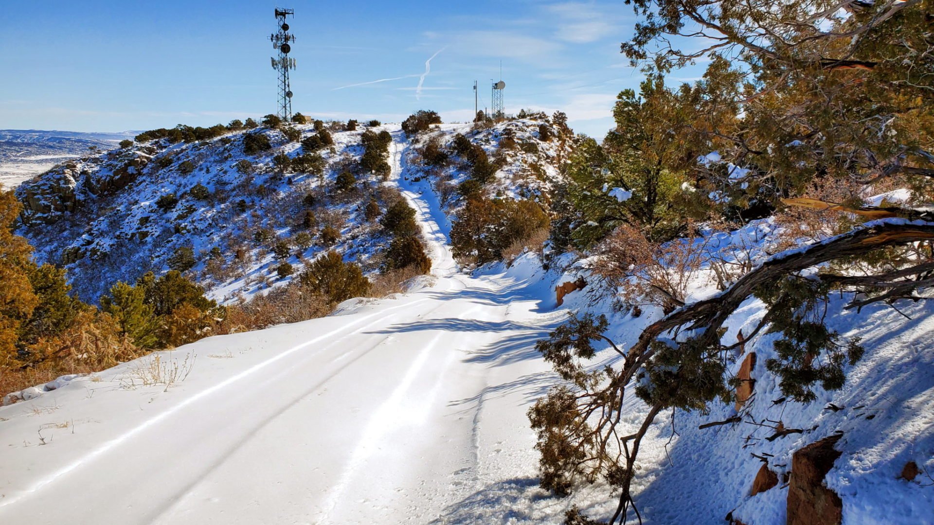
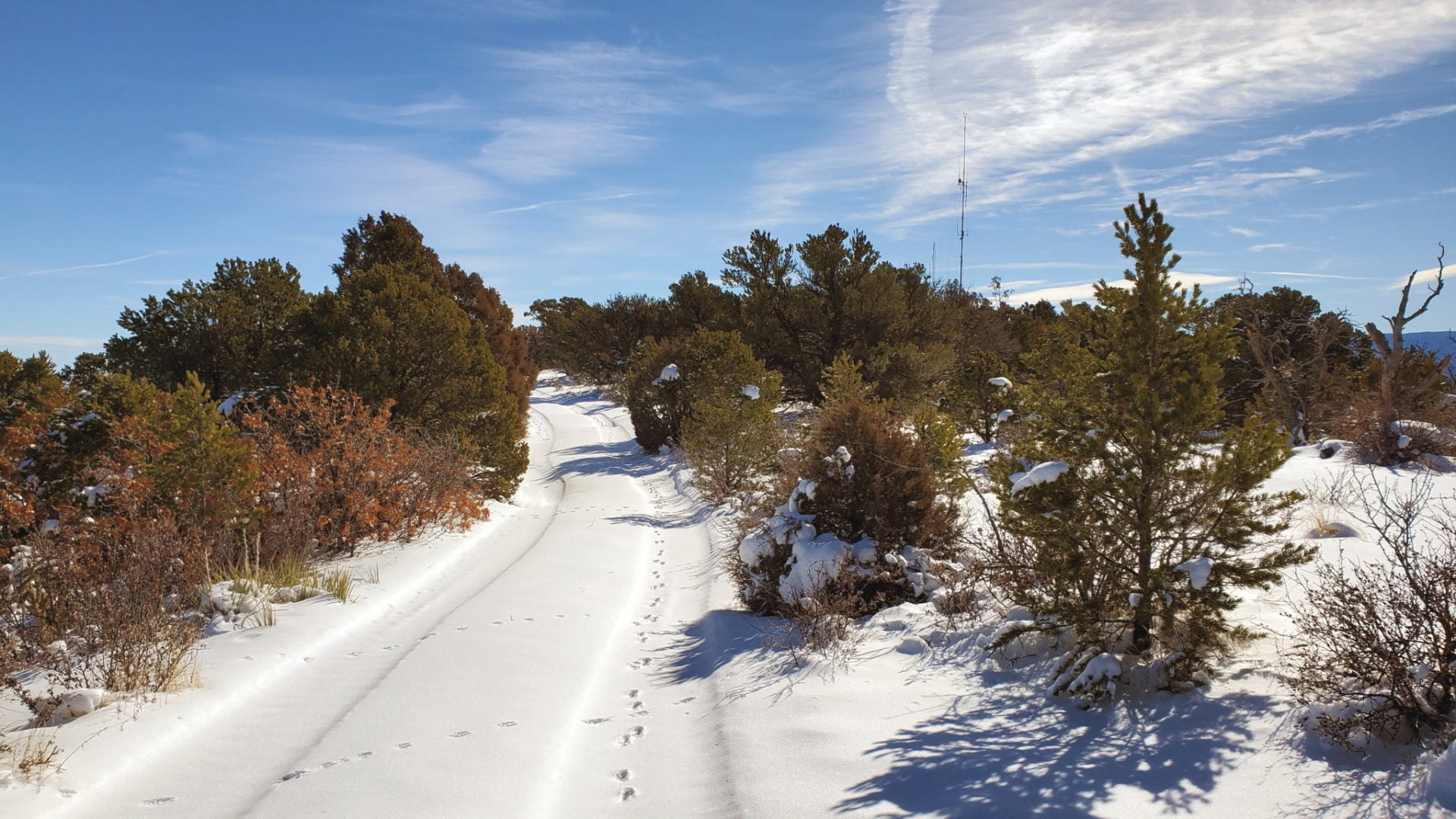
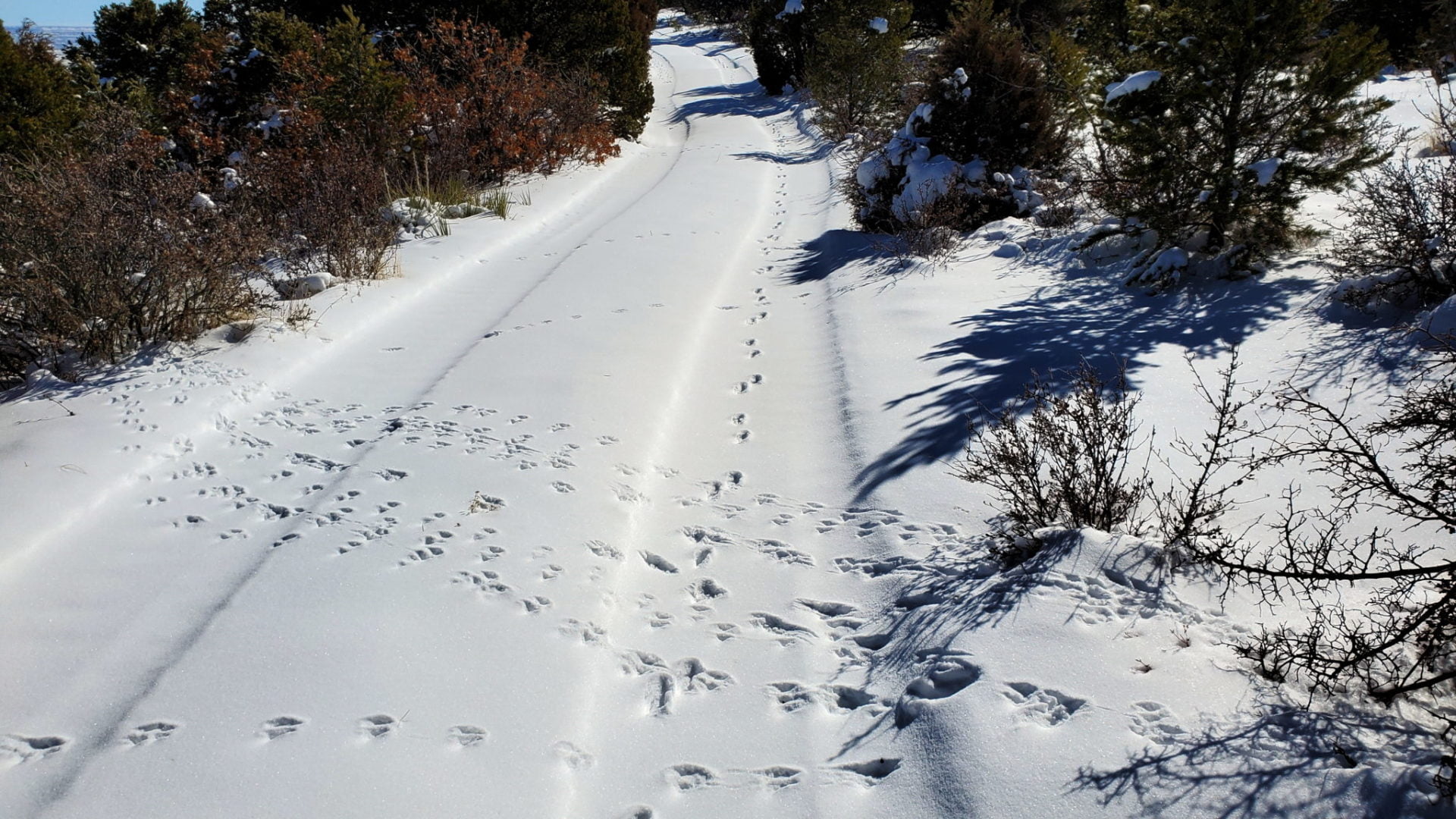
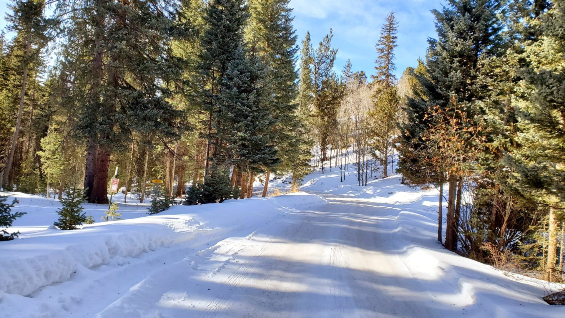
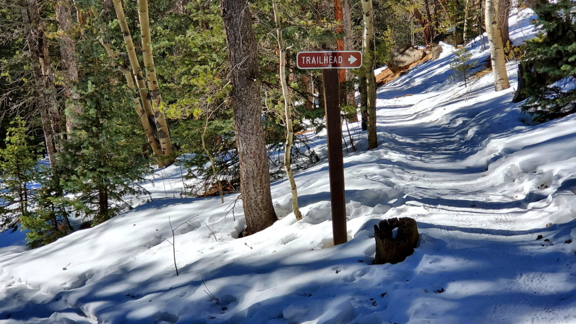
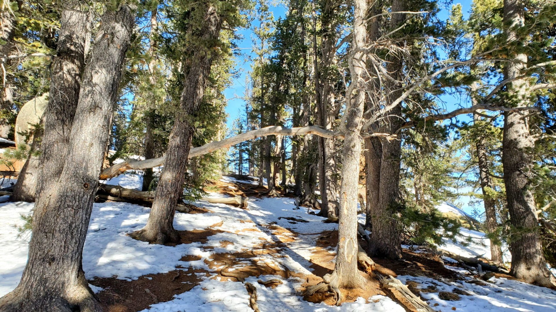
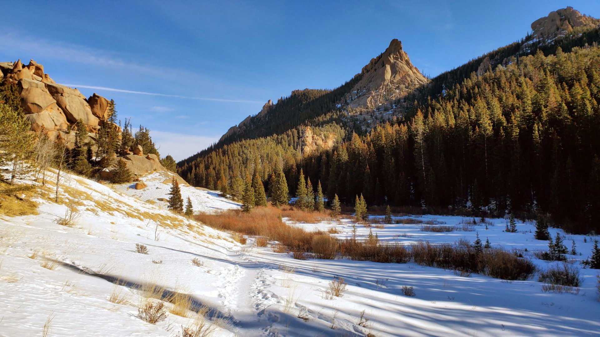
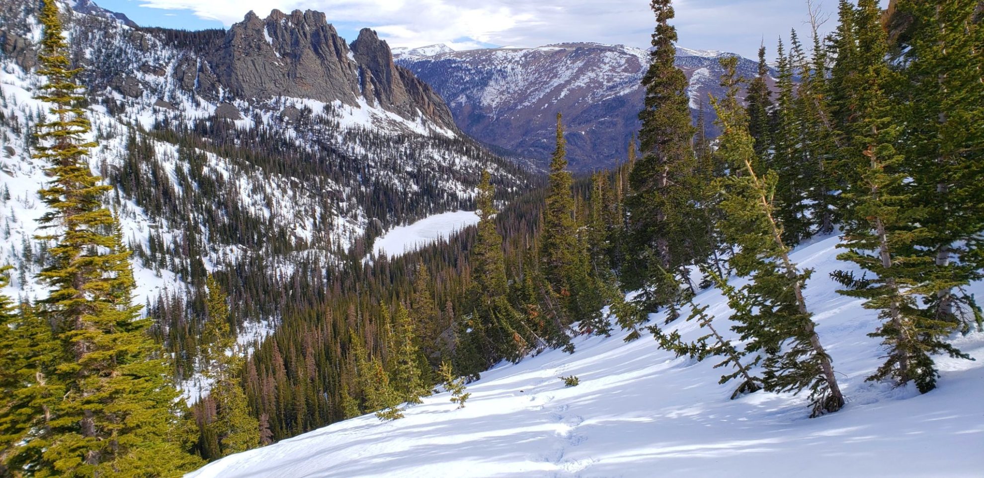
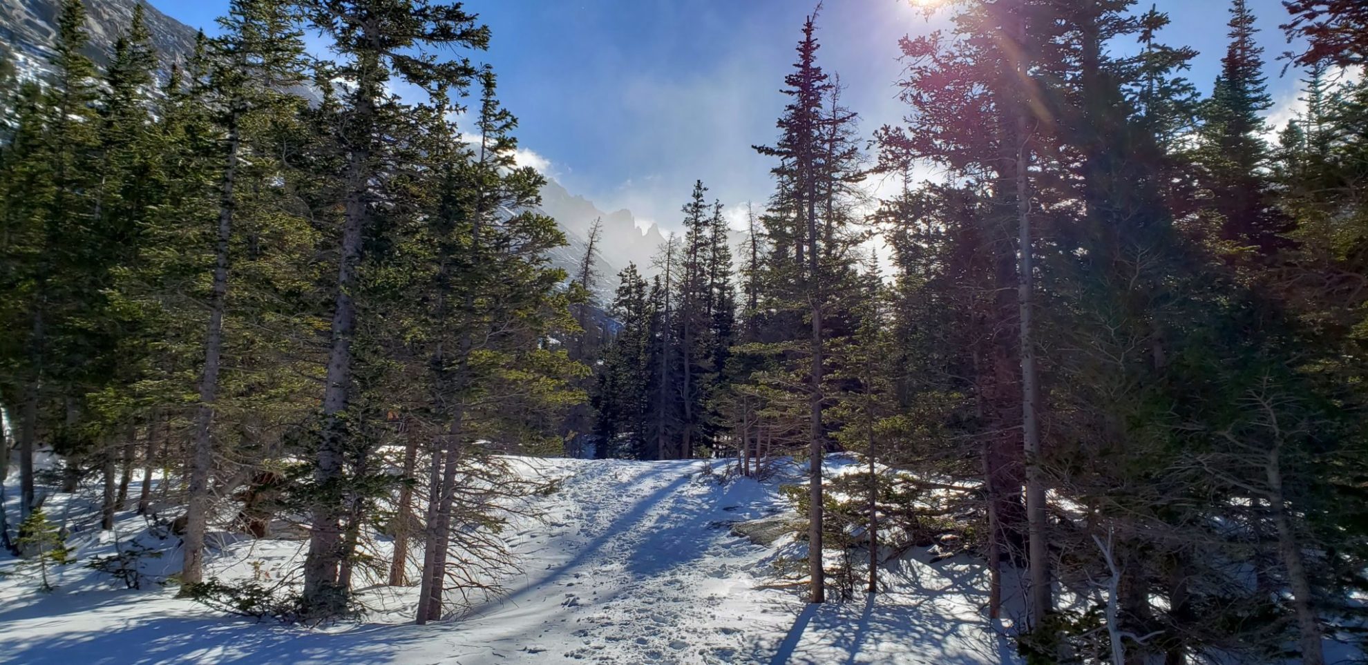
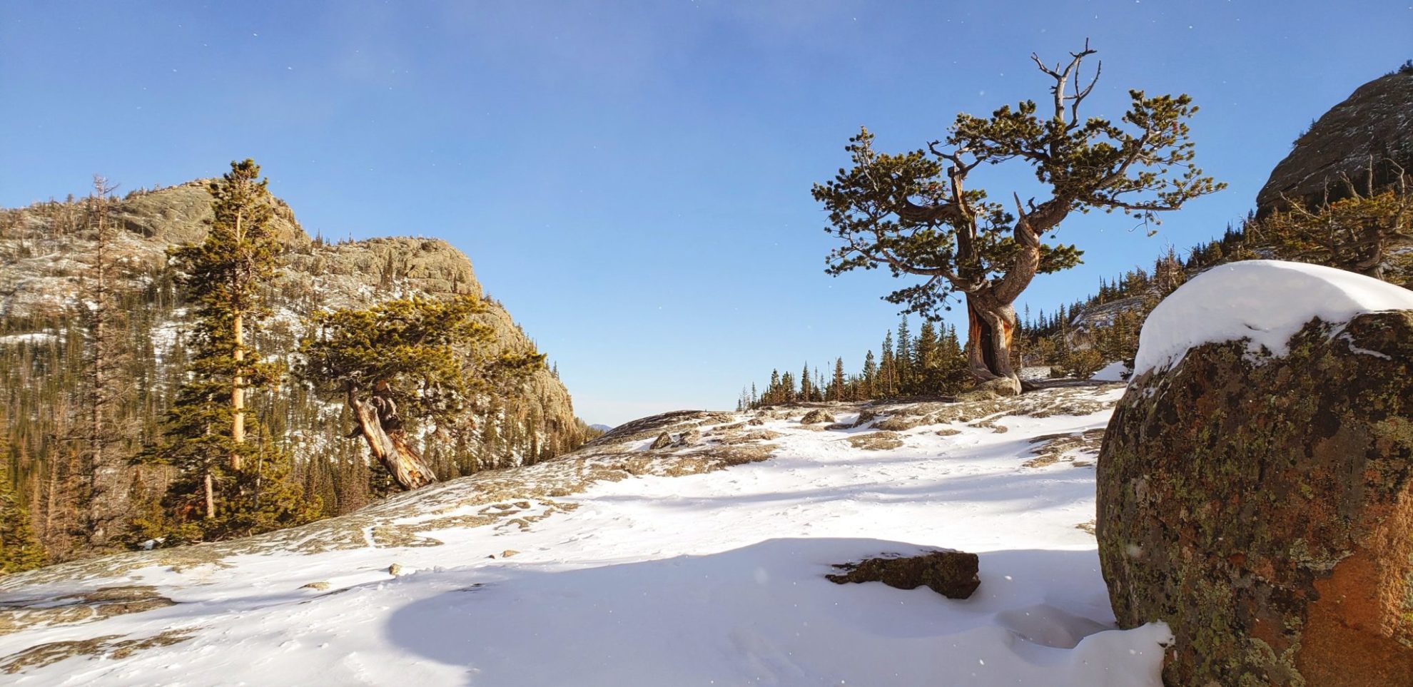
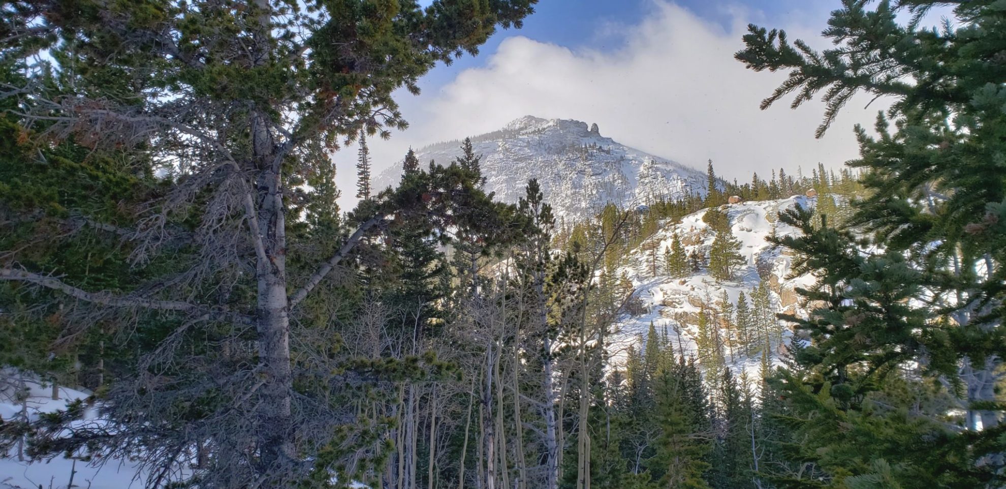
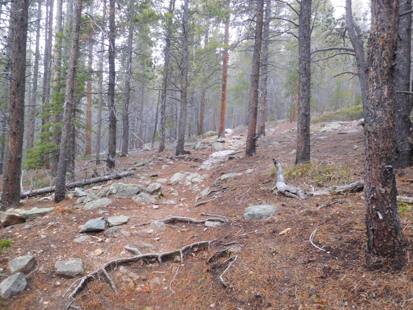
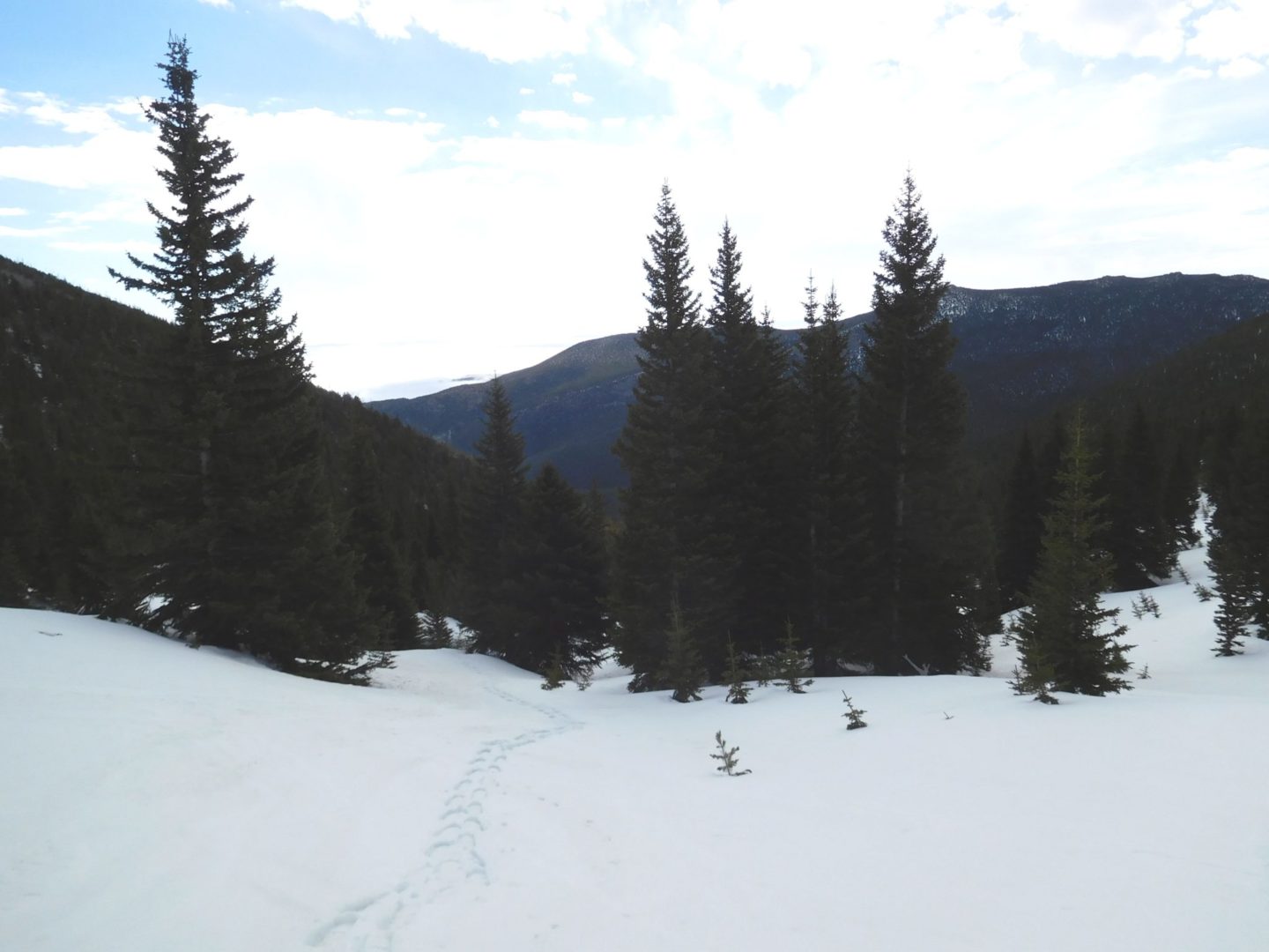
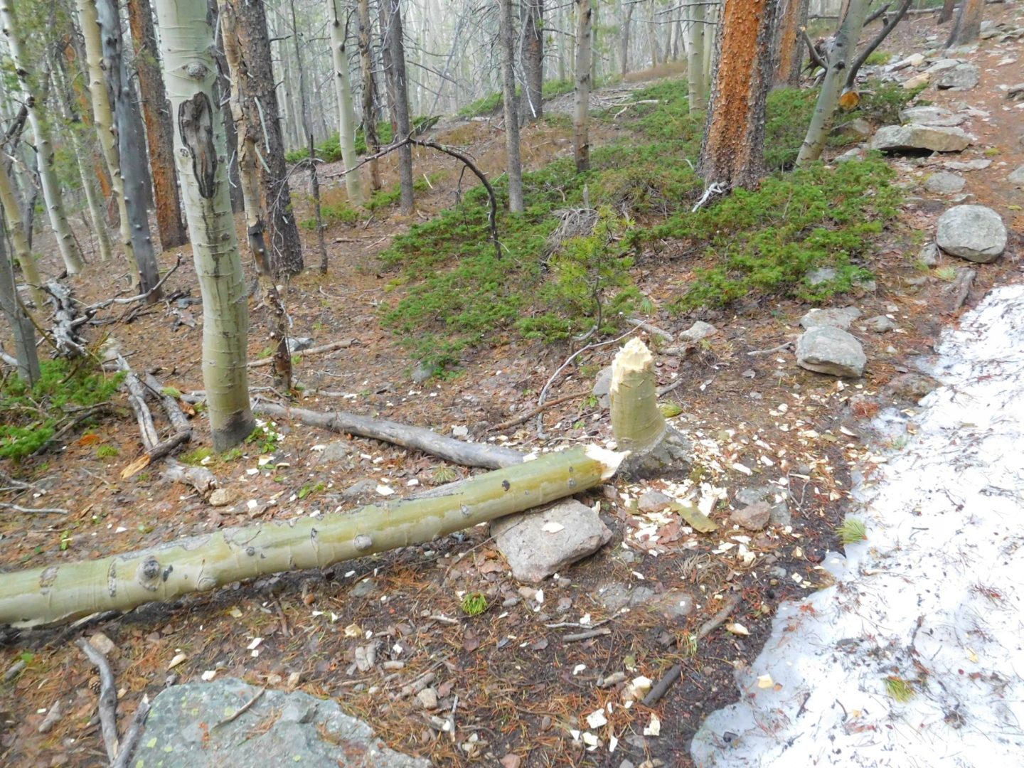
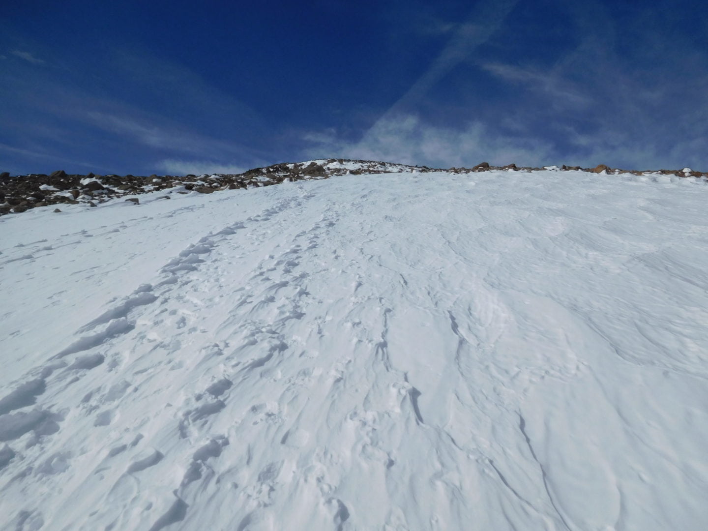
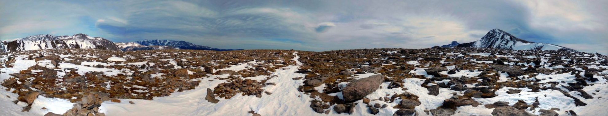
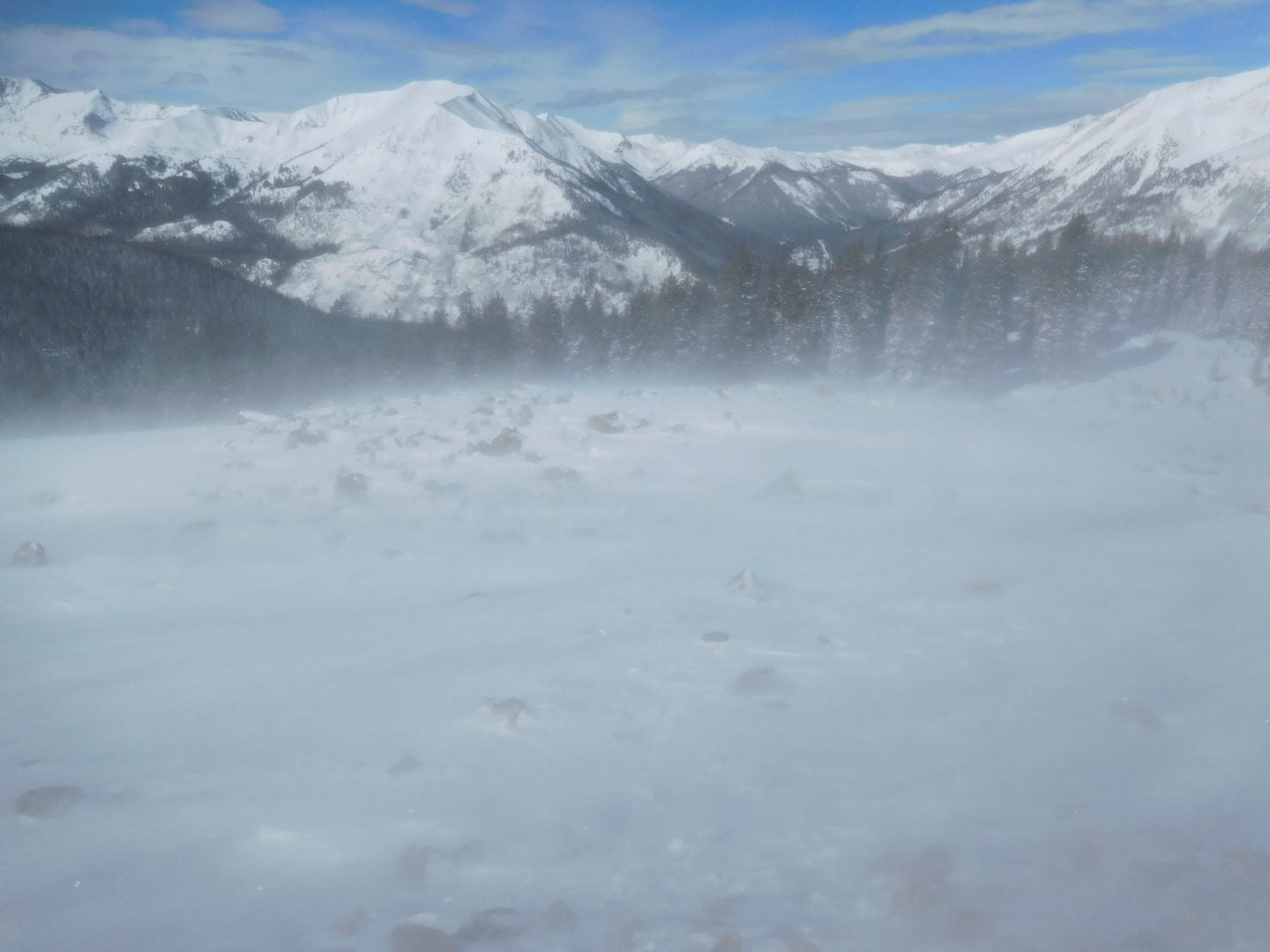
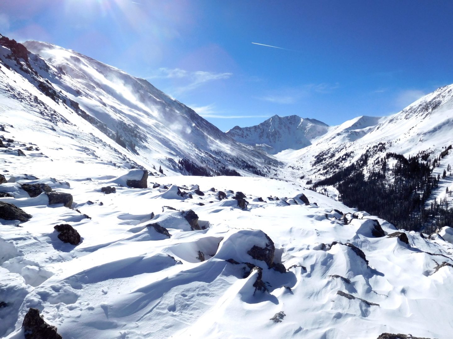
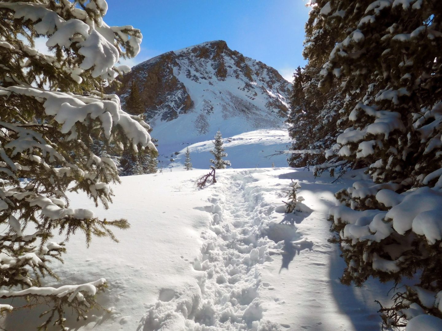
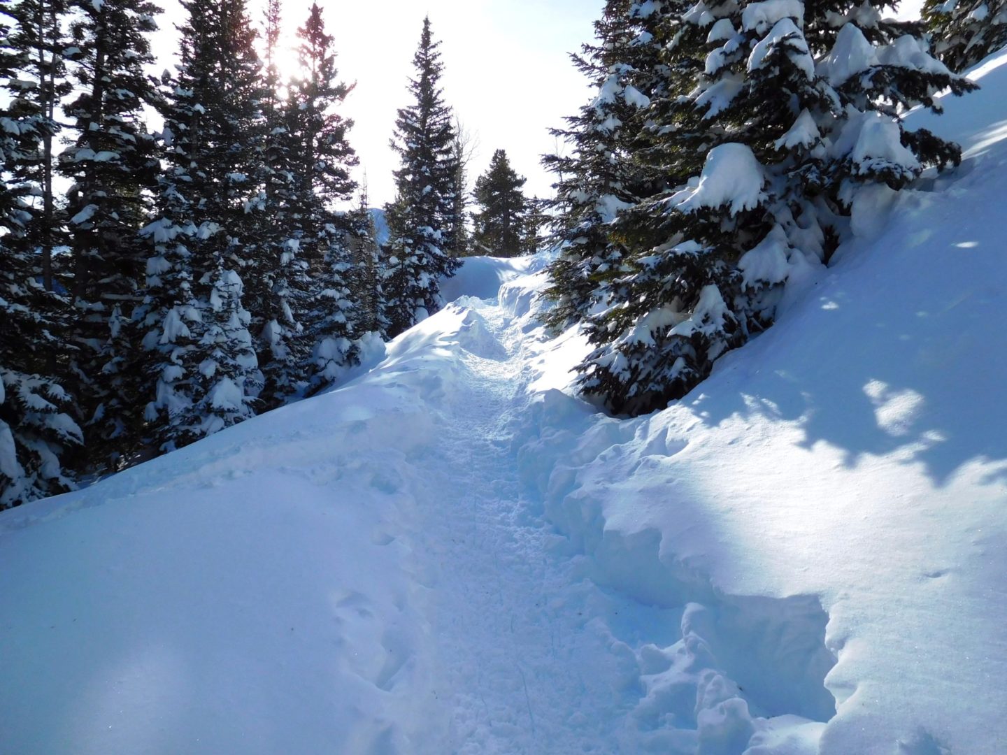
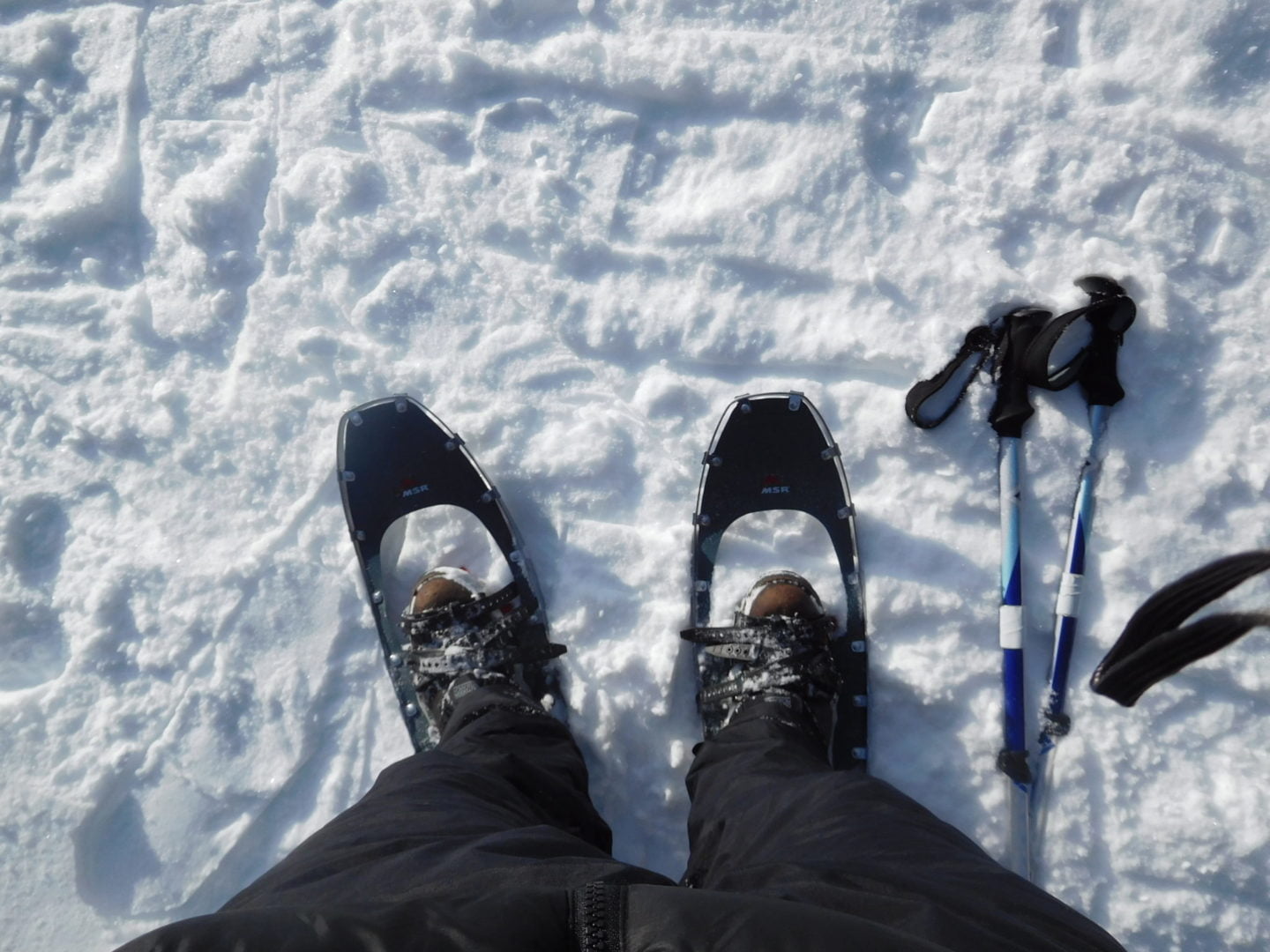
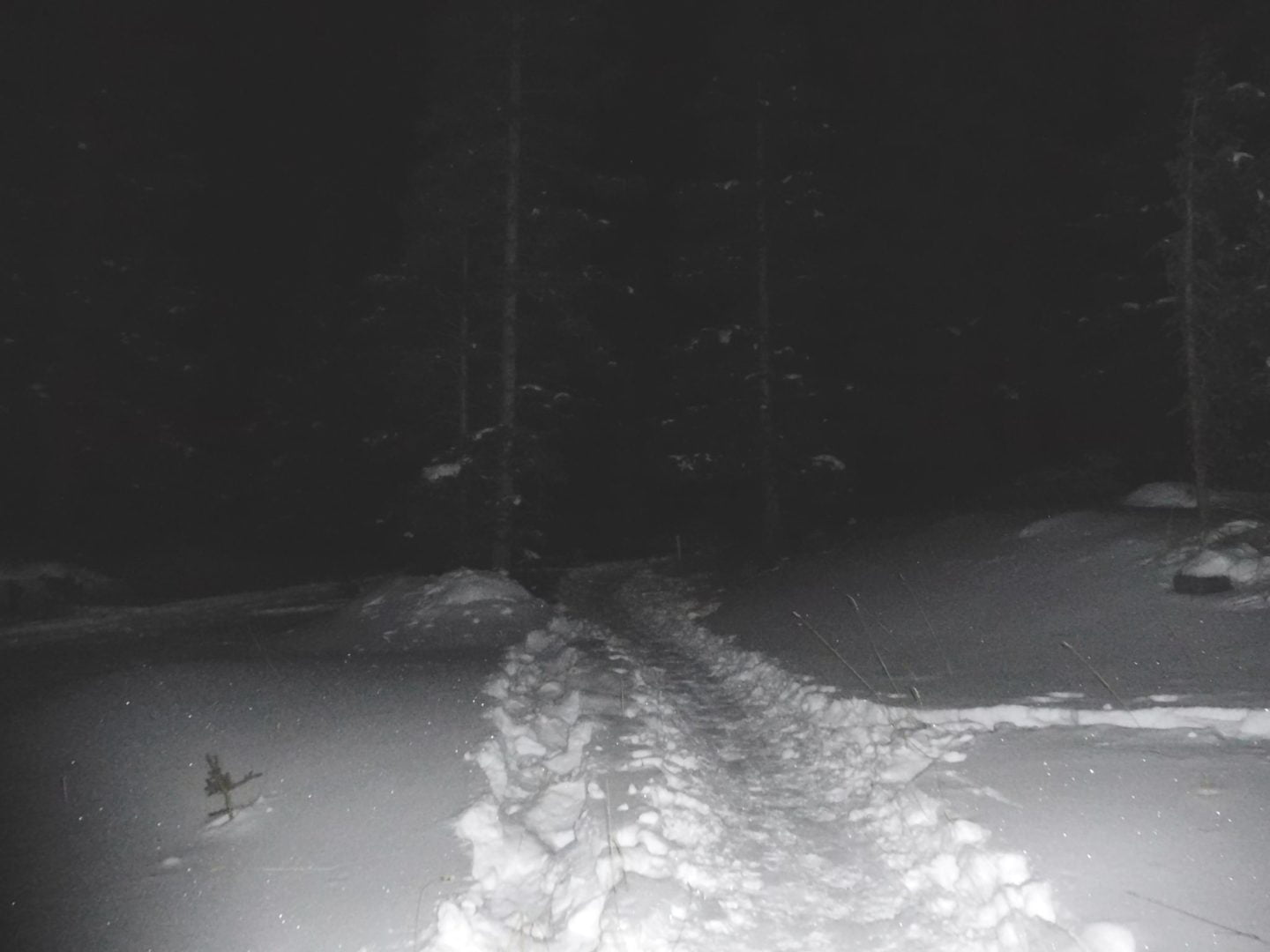
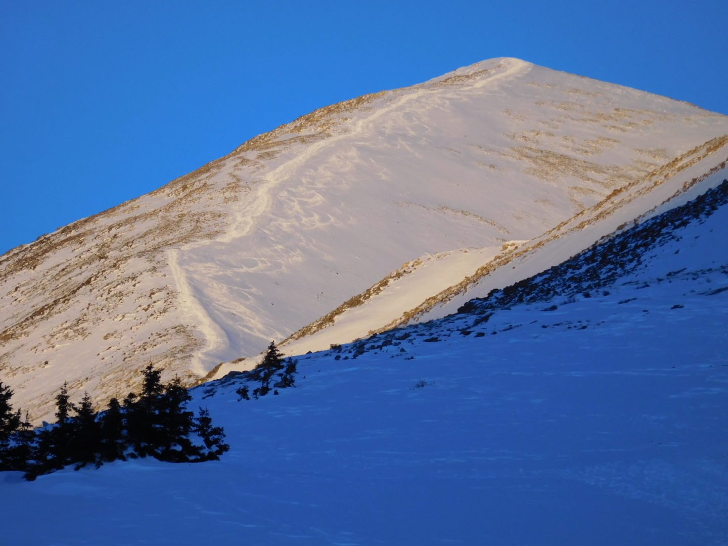
Trail conditions
Trail conditions
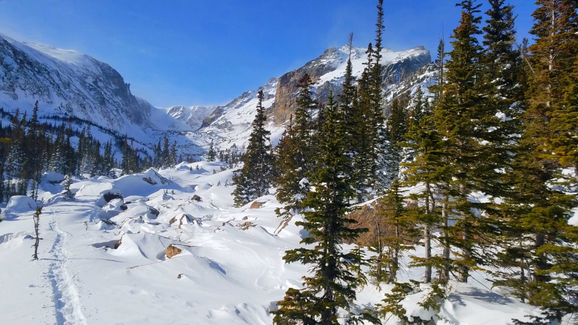
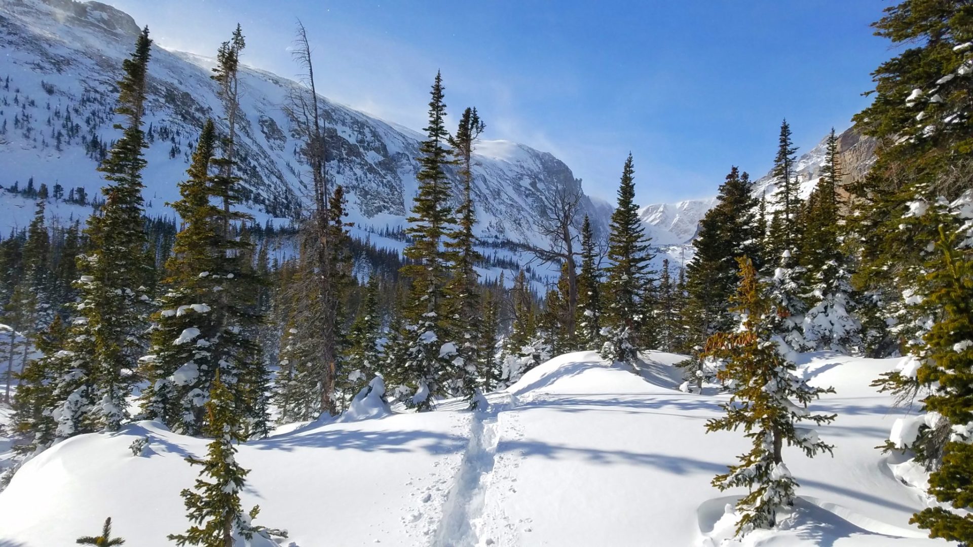
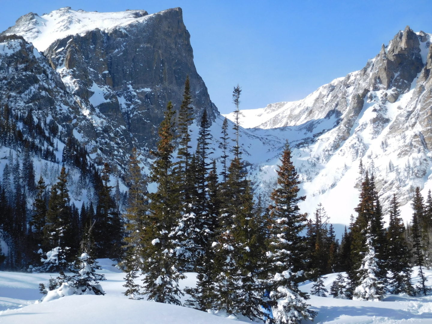
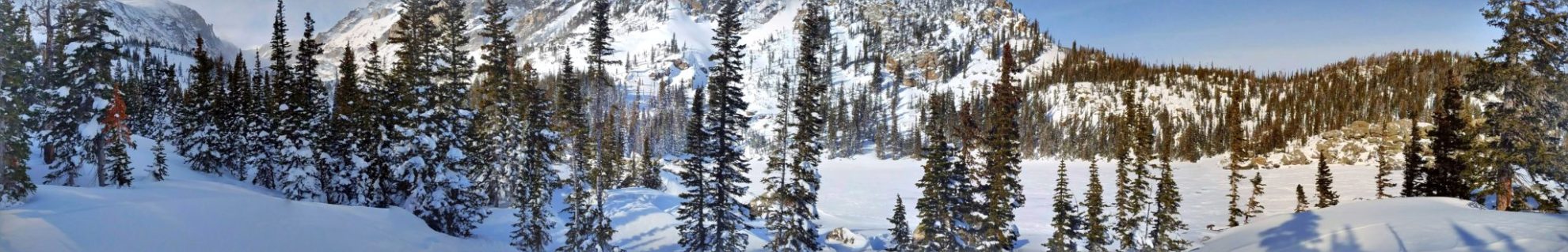
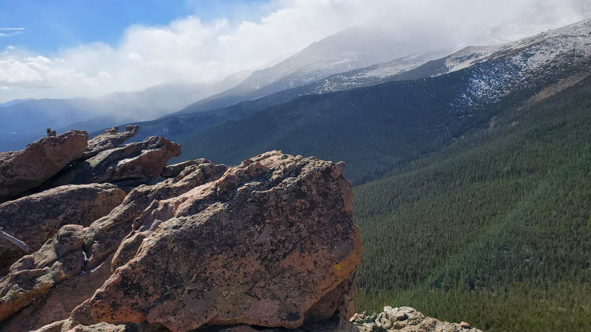
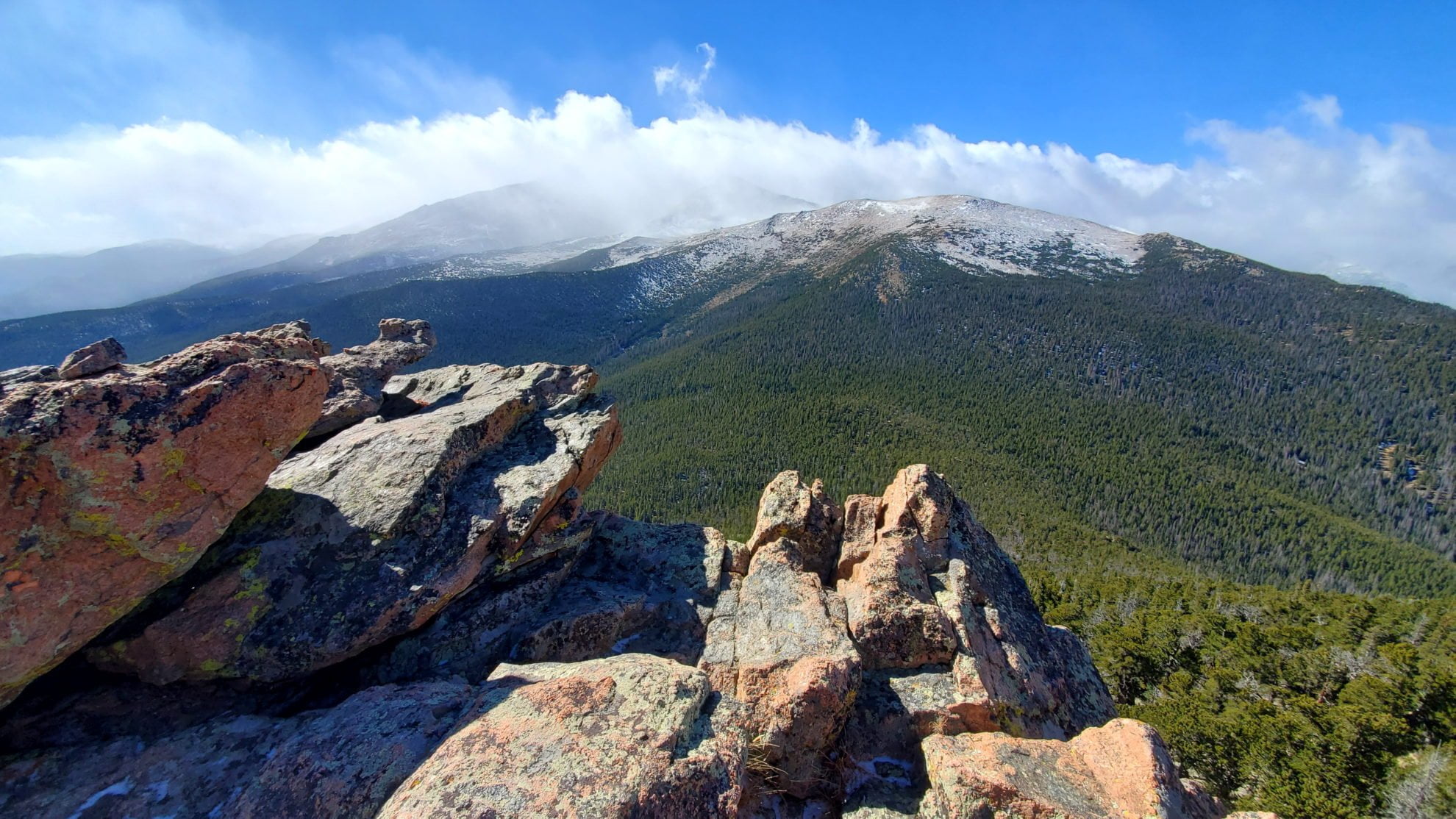
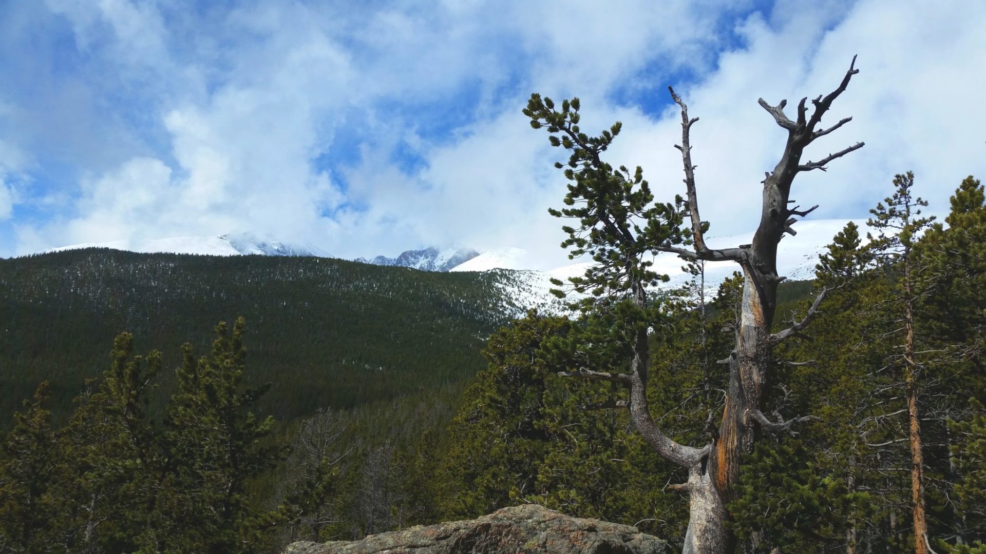
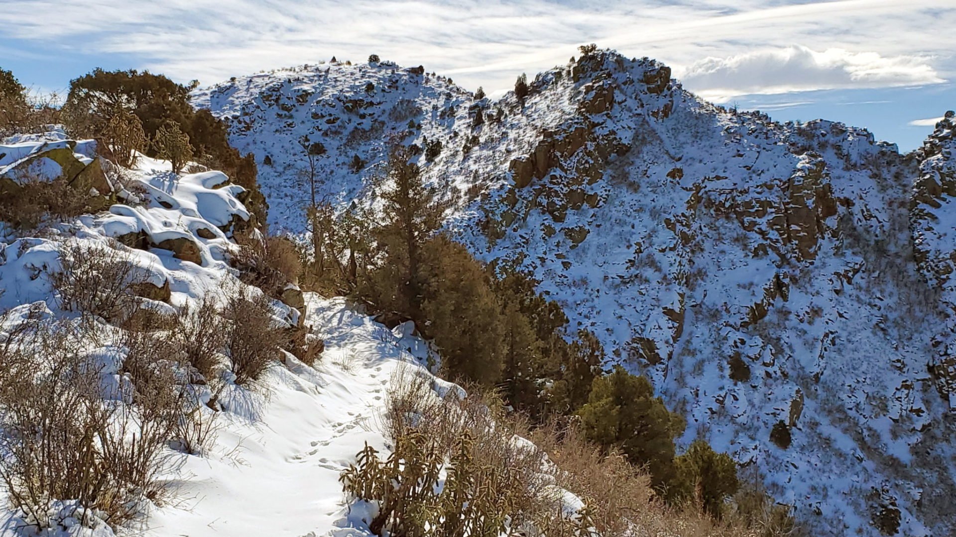
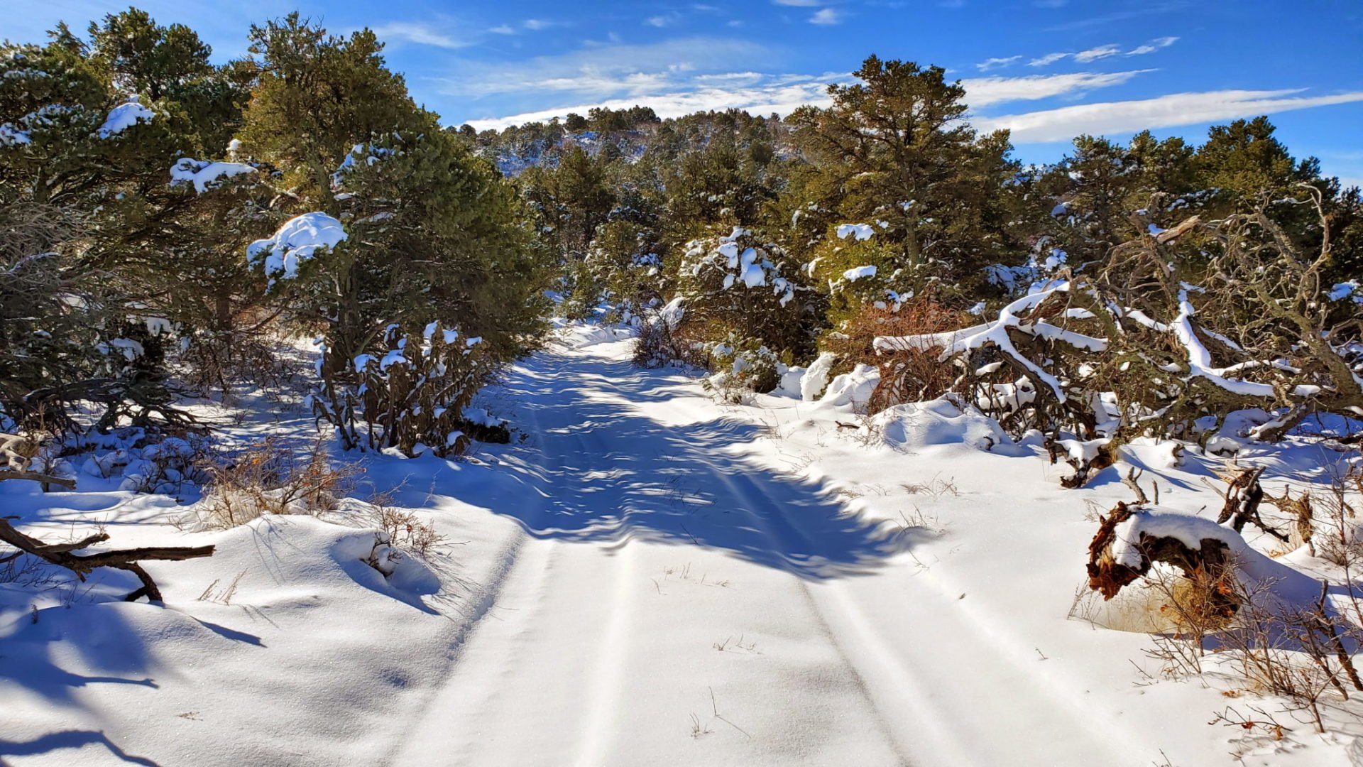
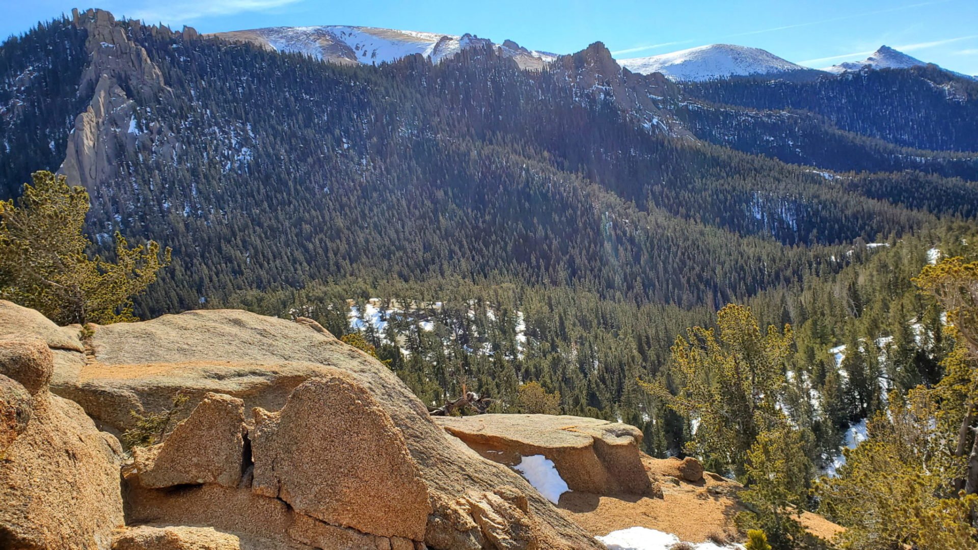
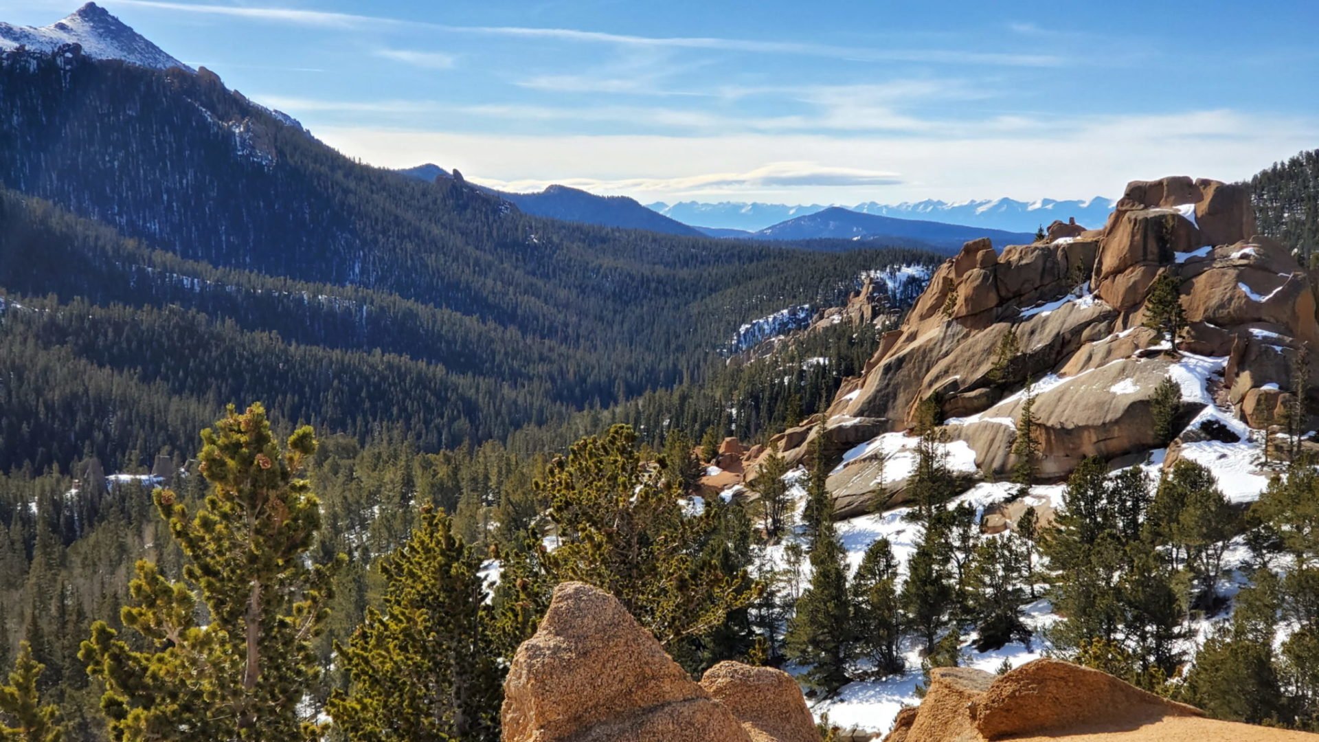
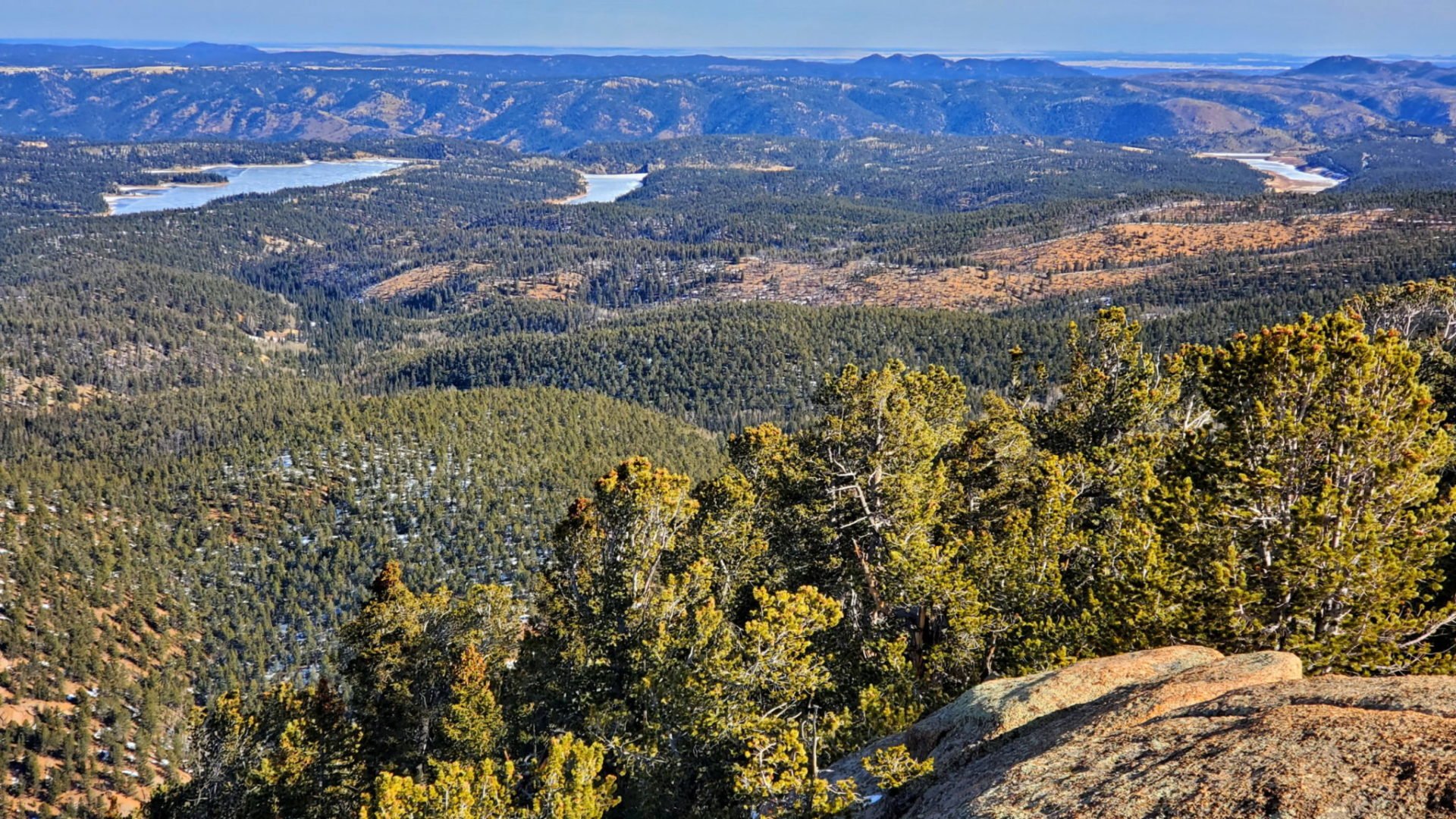
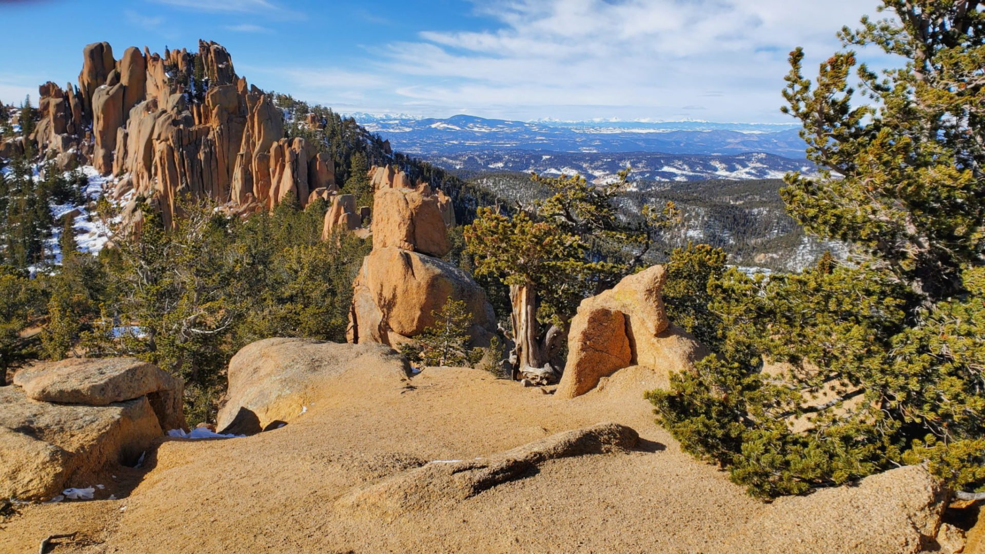
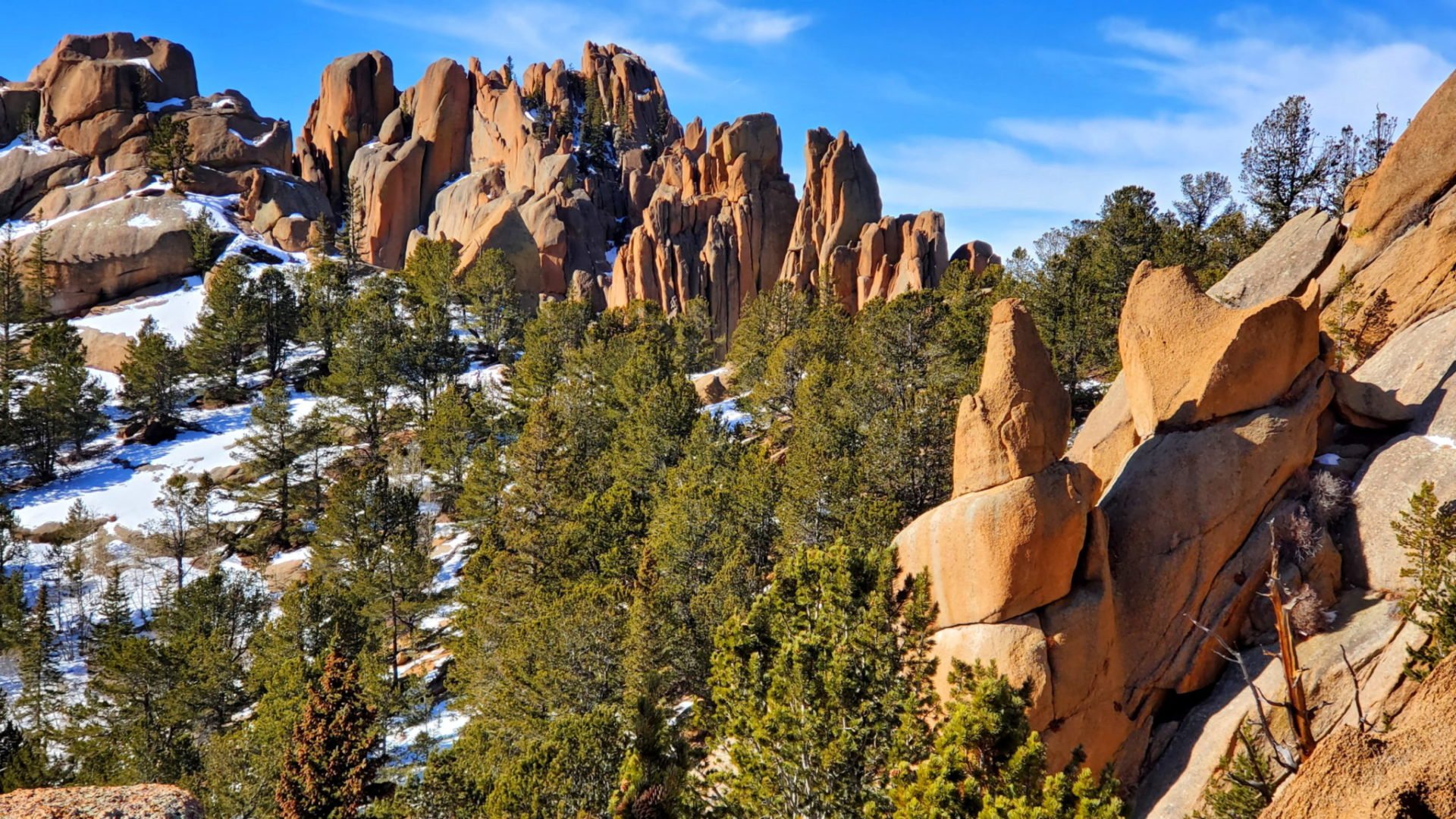
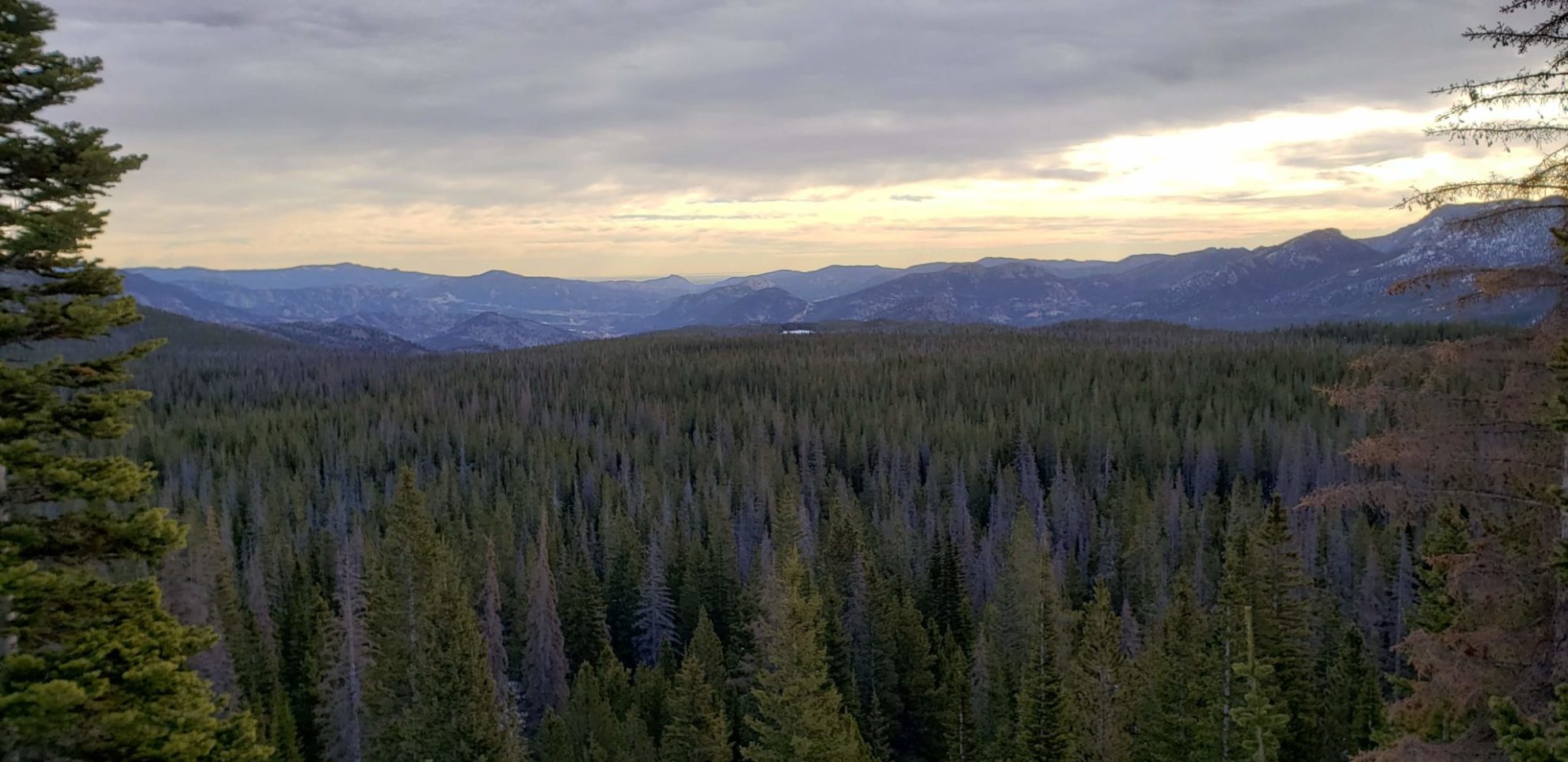
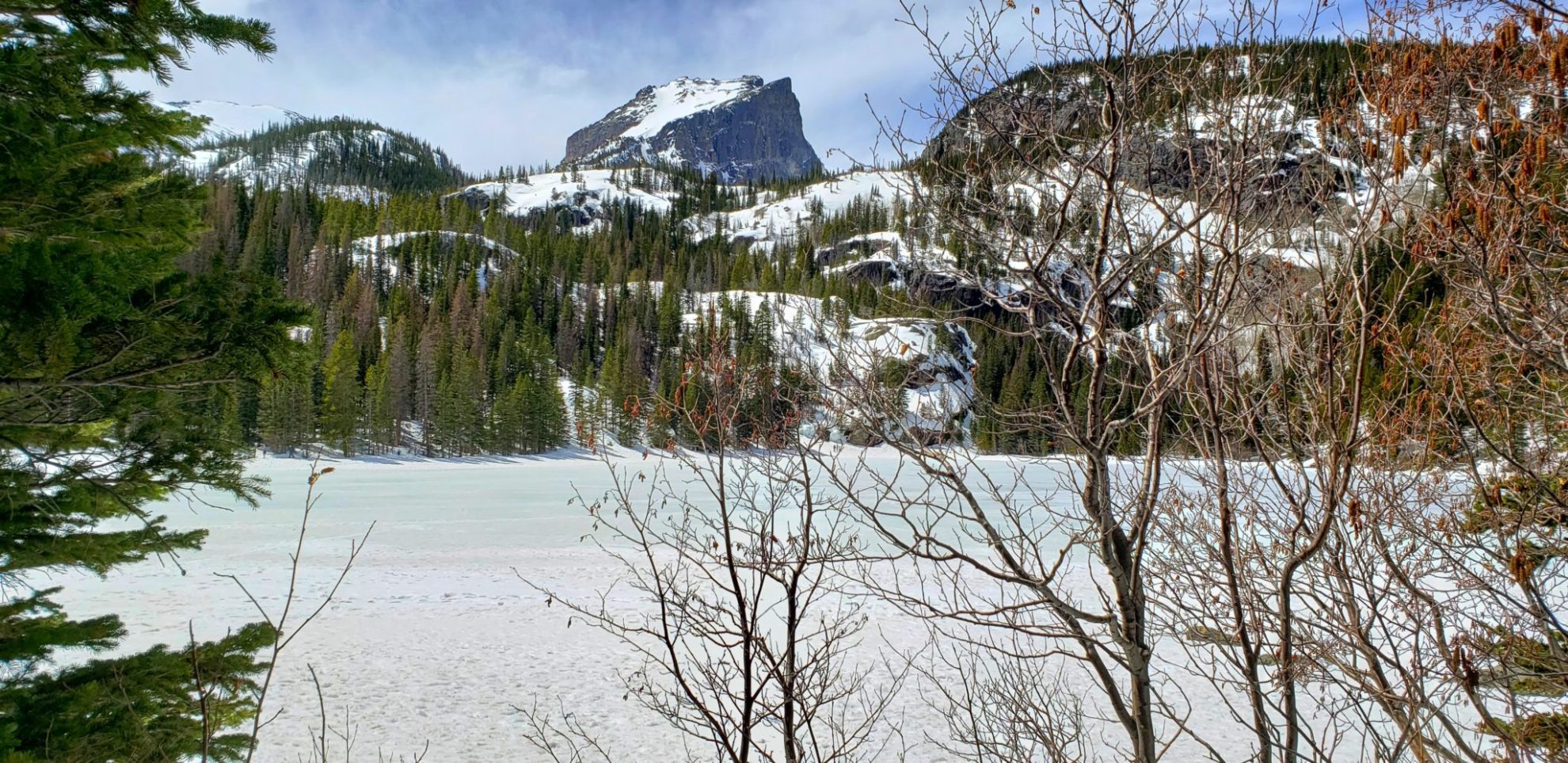
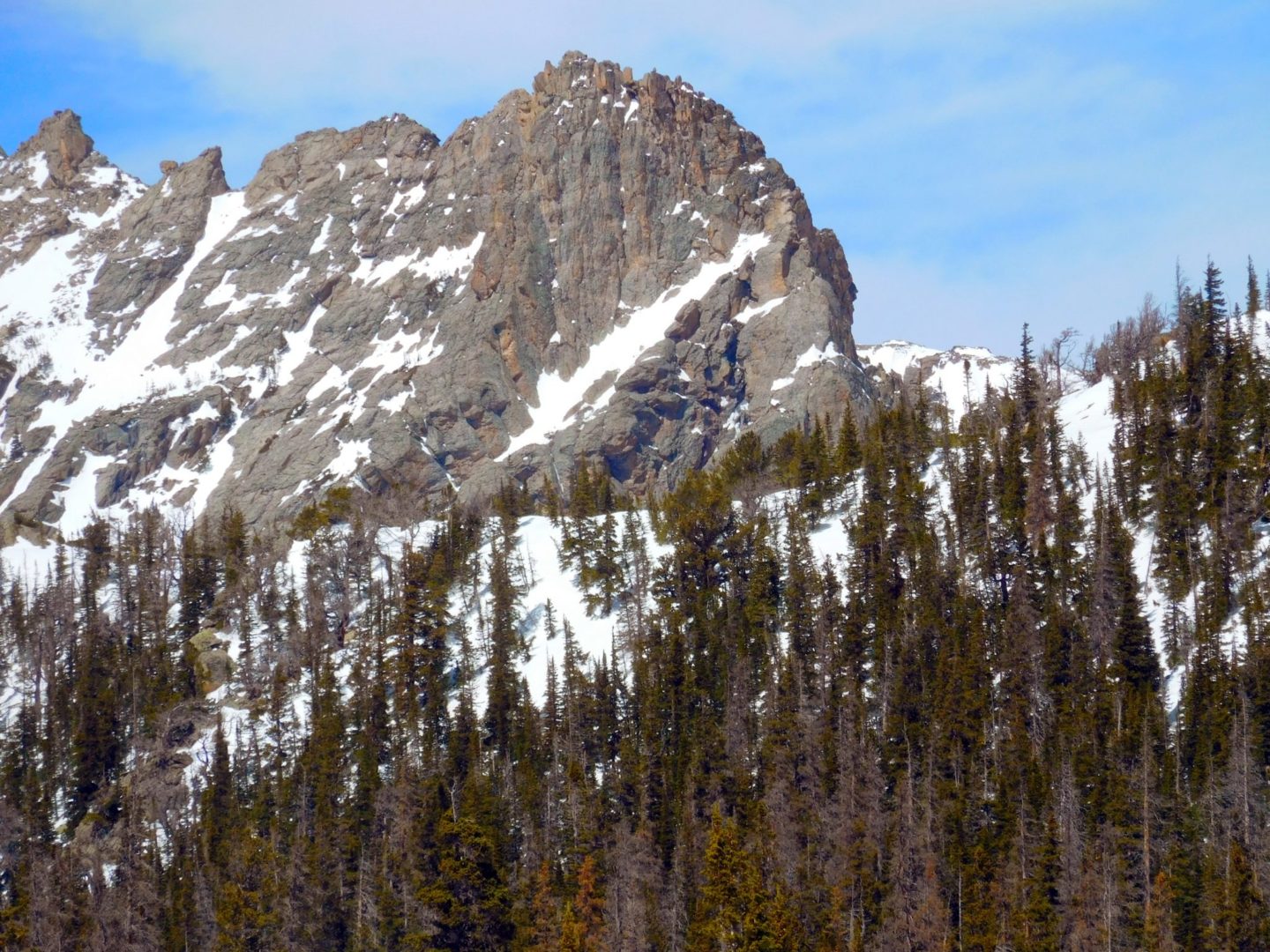
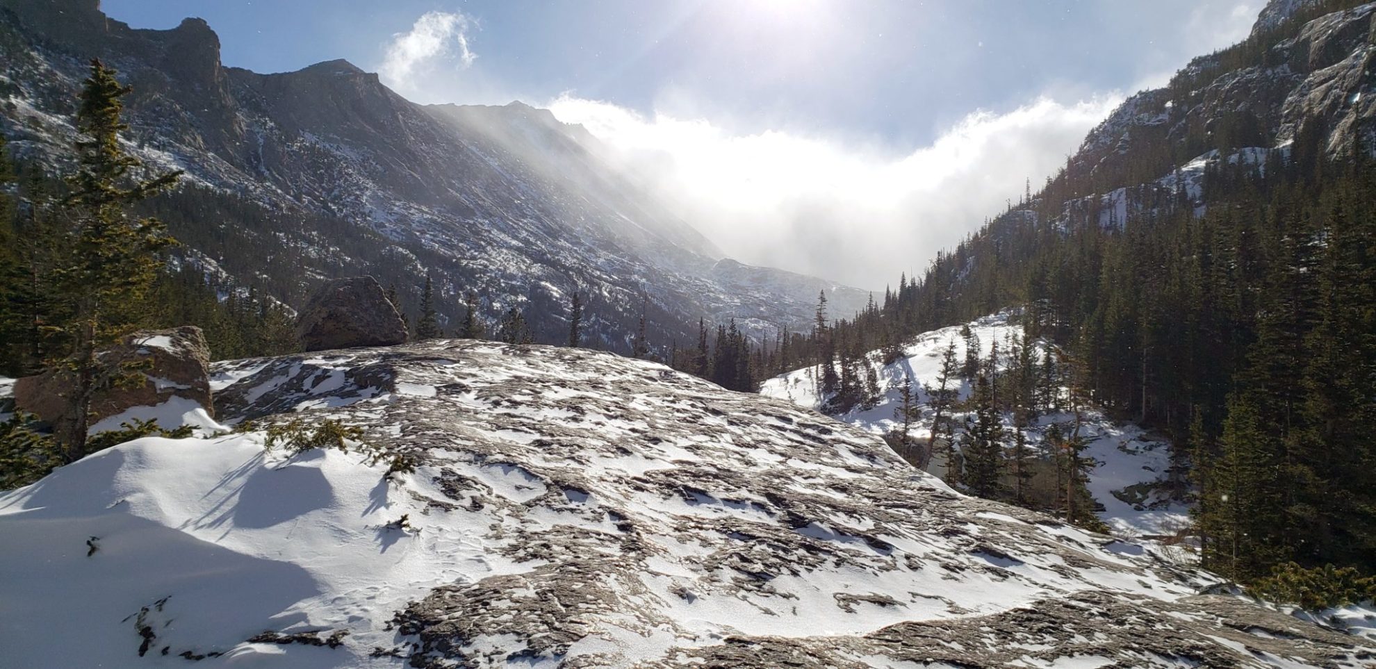
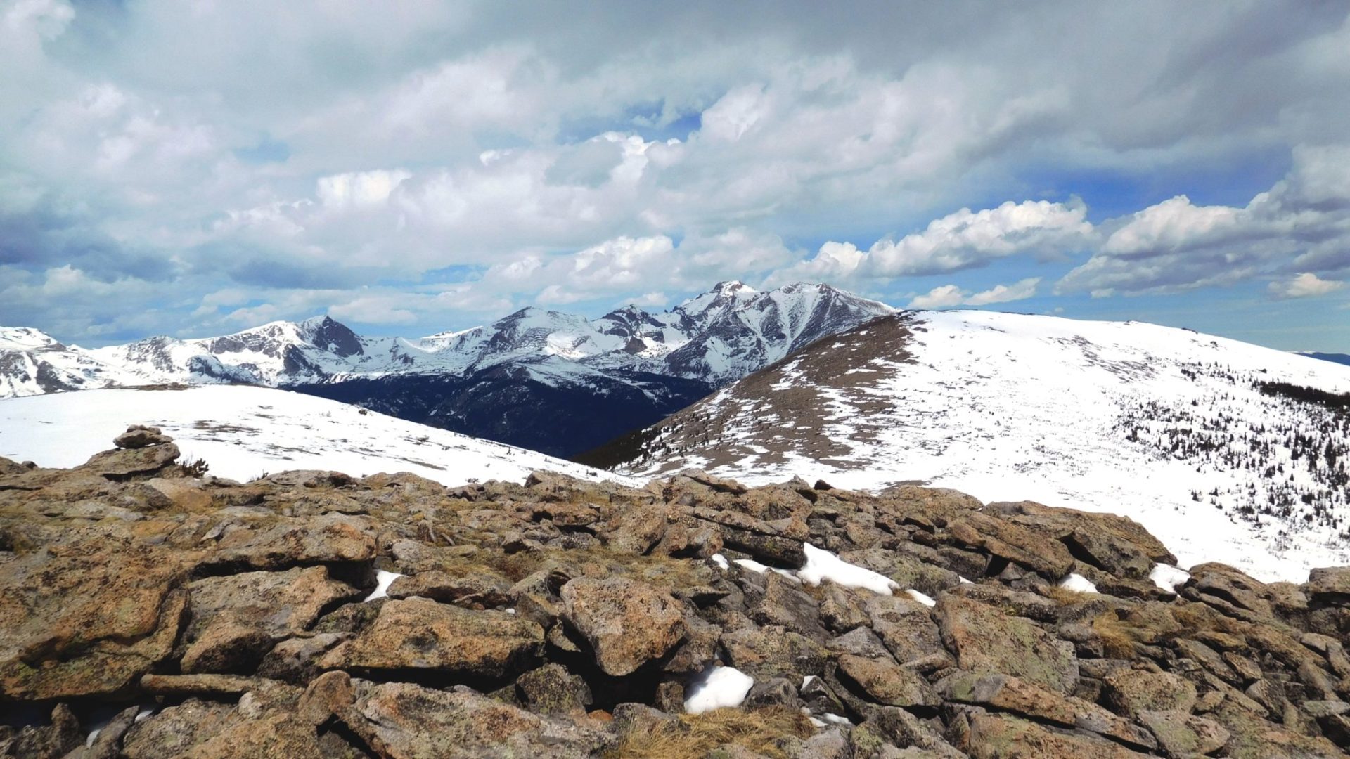
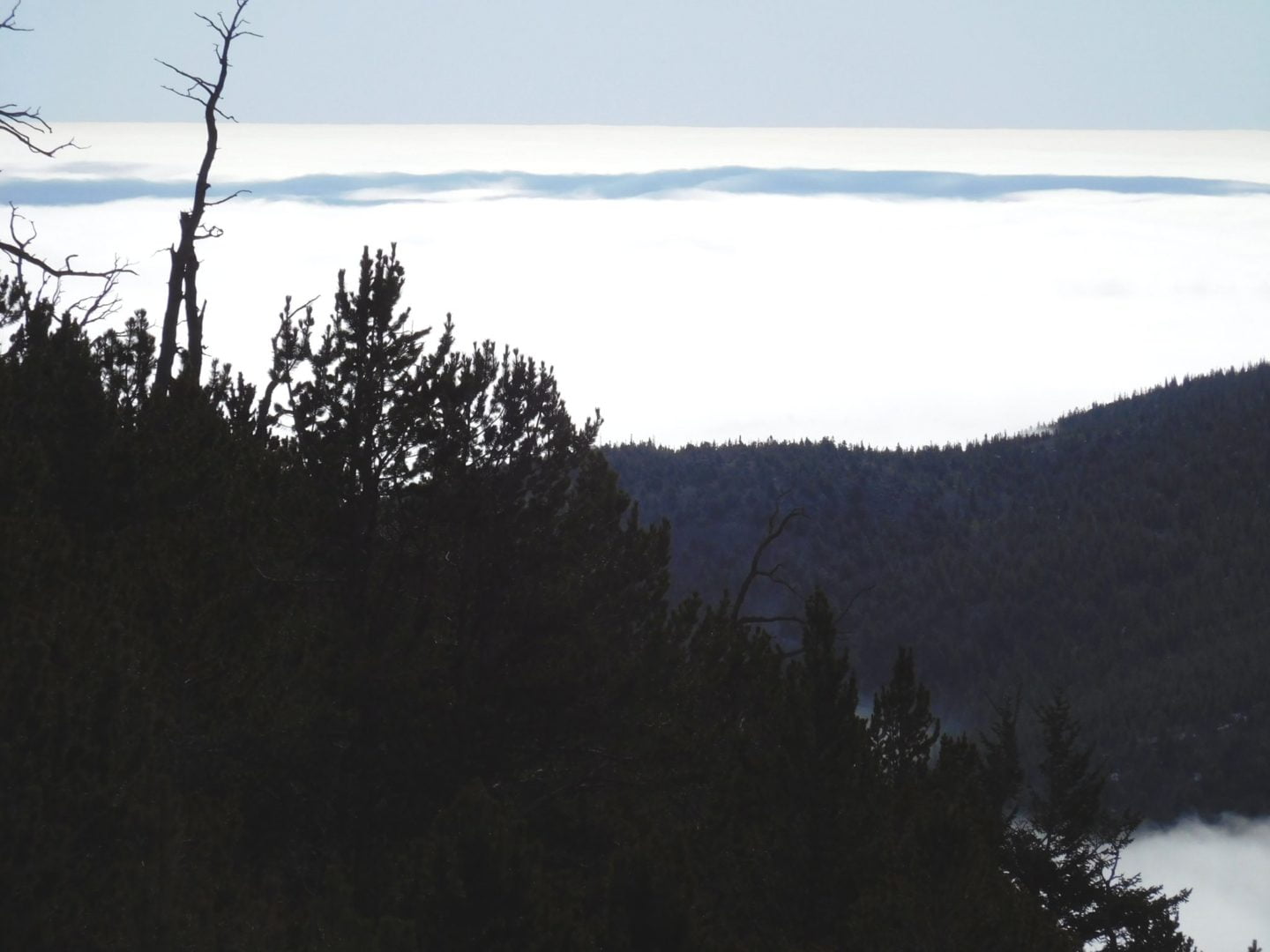
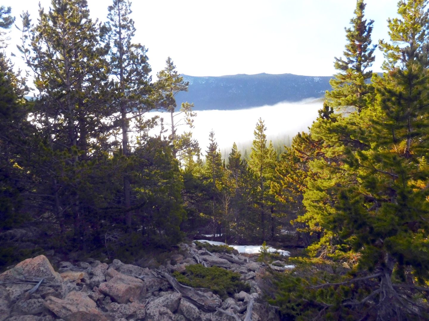
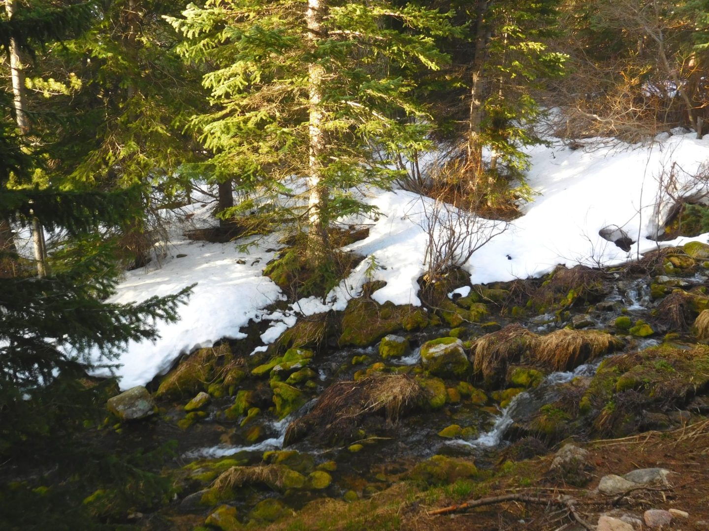
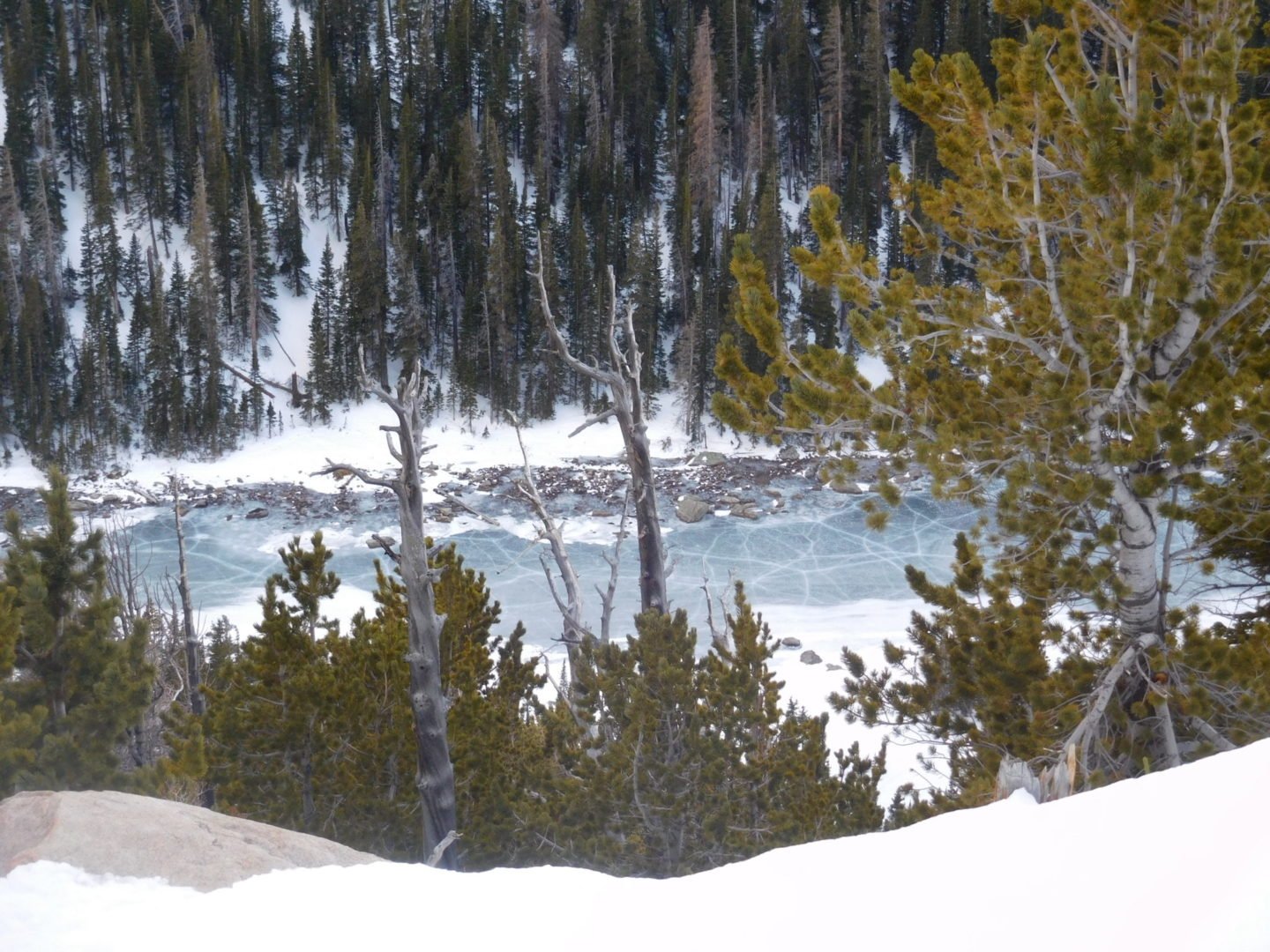
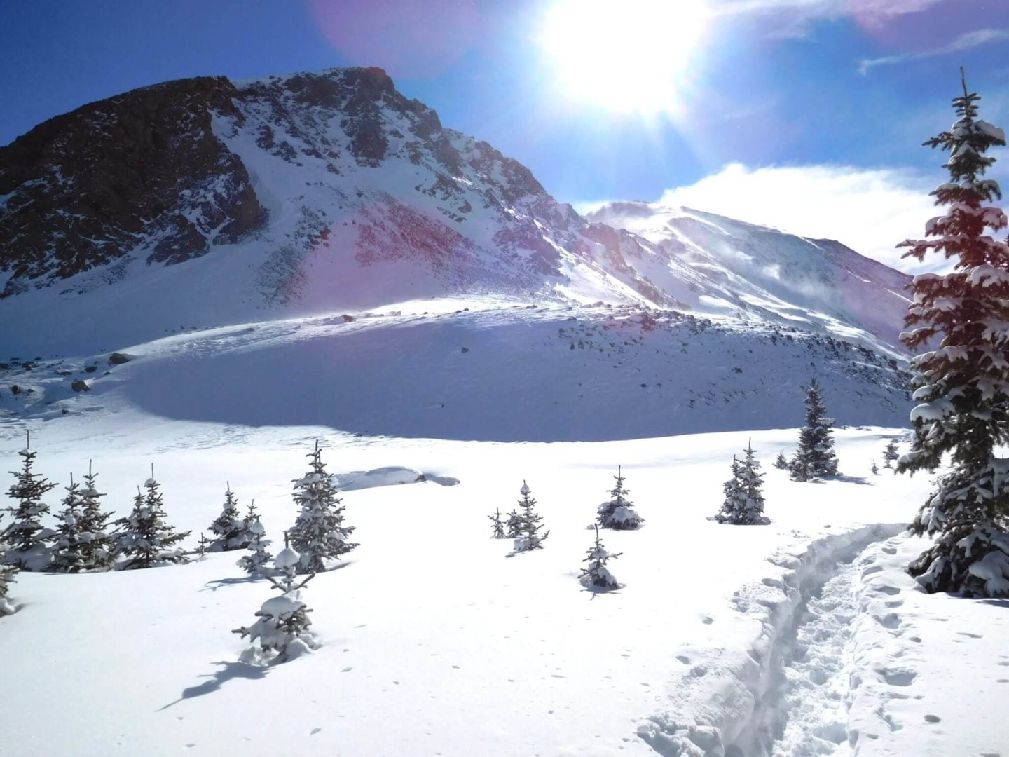
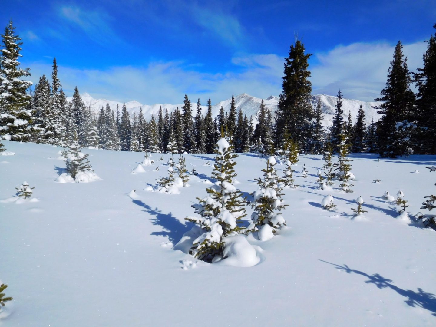
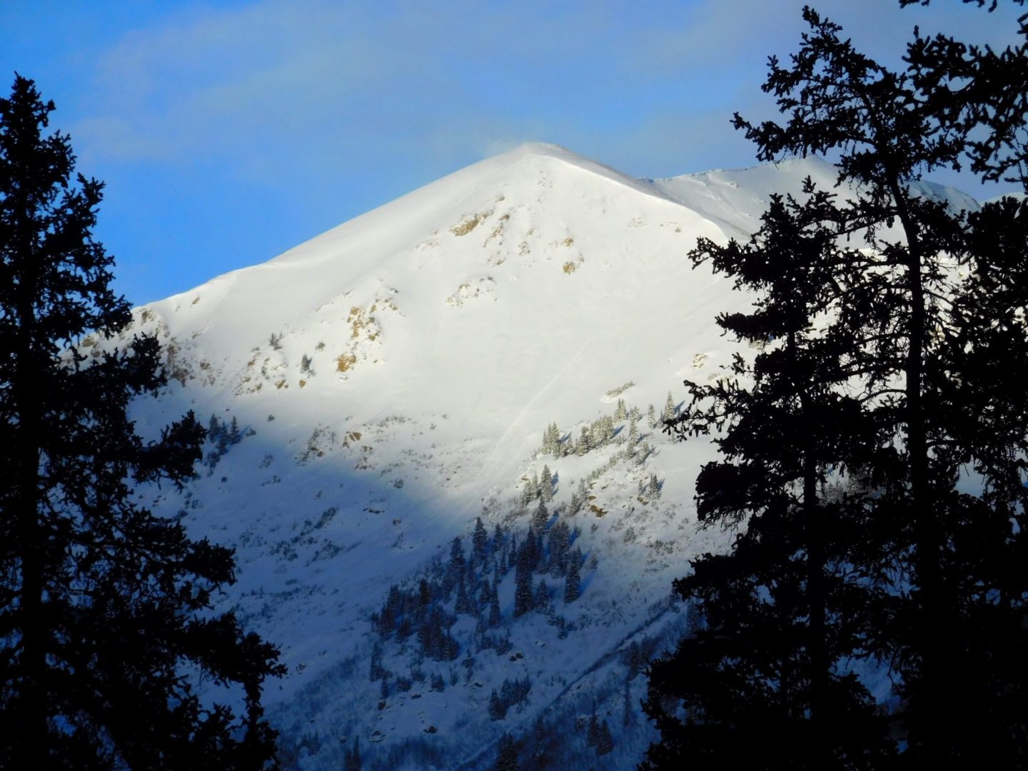
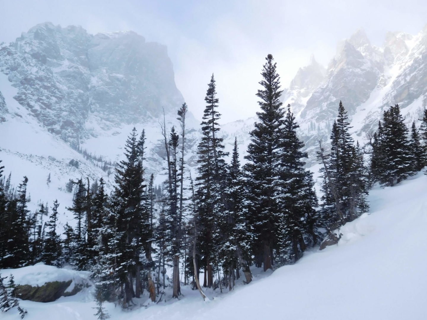
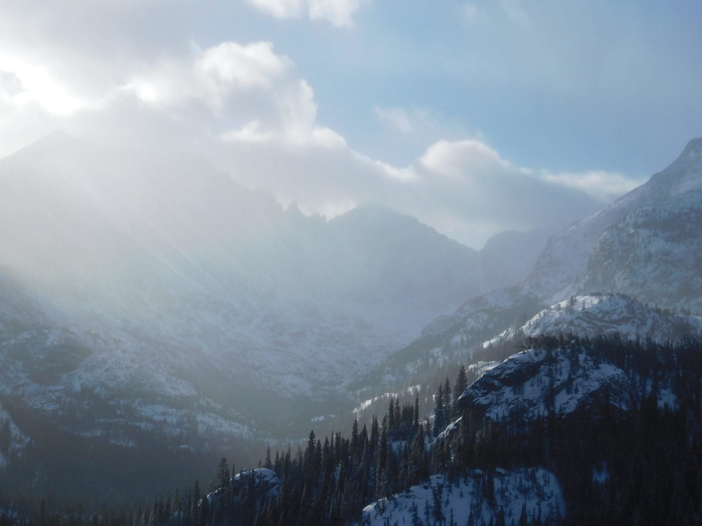
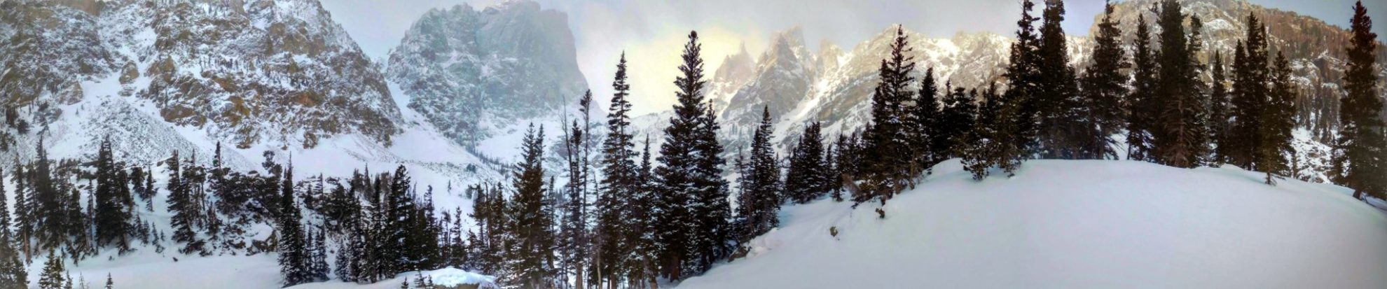
The trail runs mostly through dense forest but opens up for this view.
The trail runs mostly through dense forest but opens up for this view.
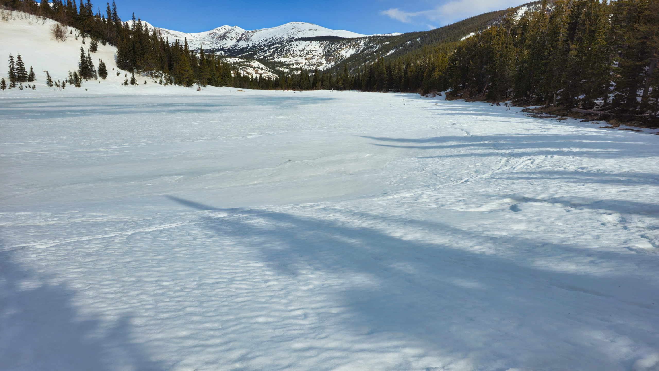
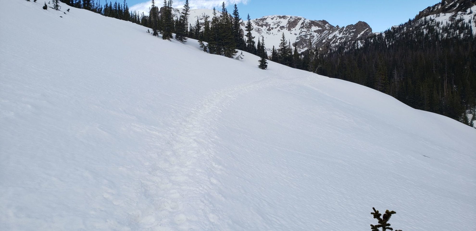
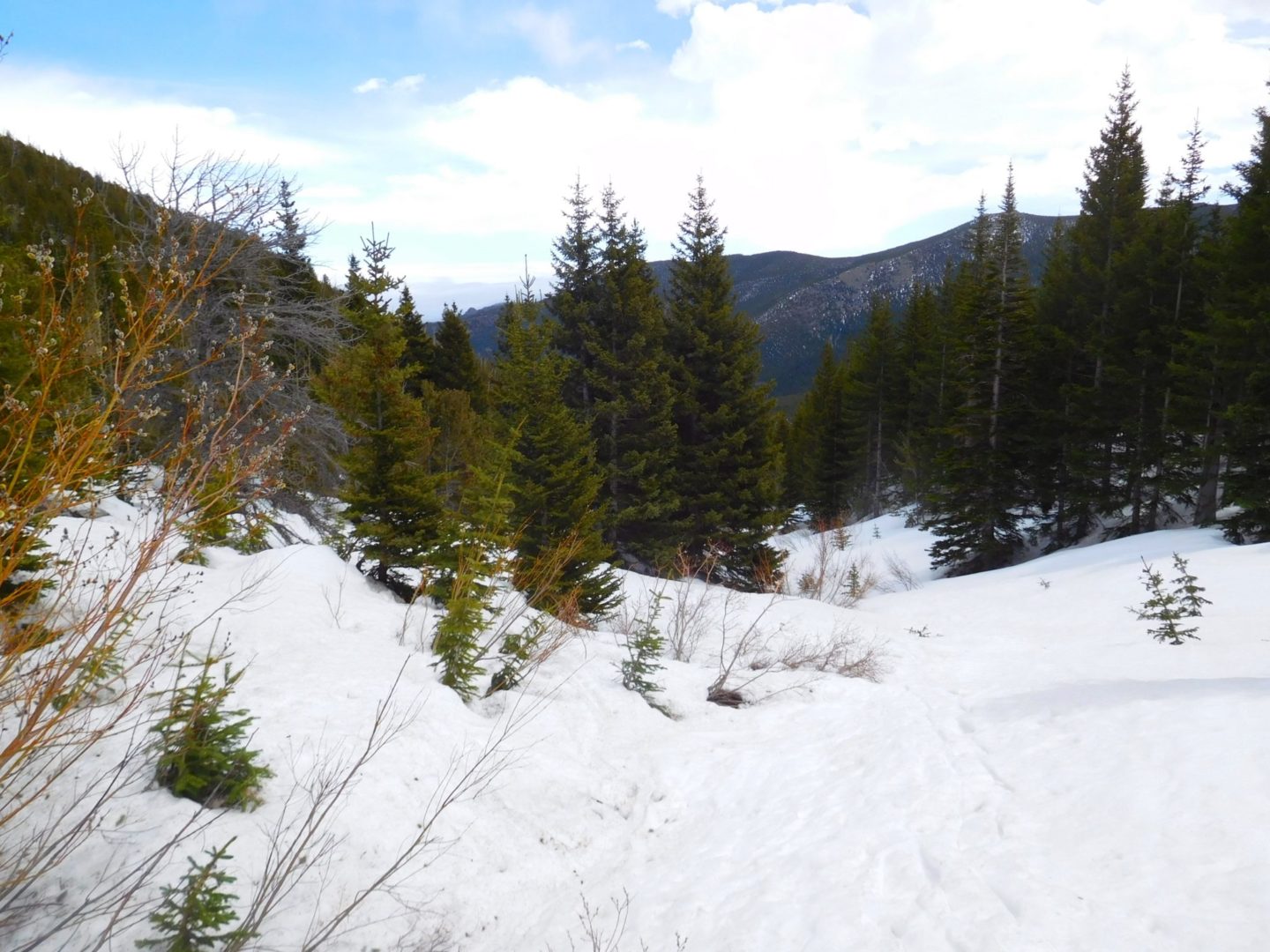
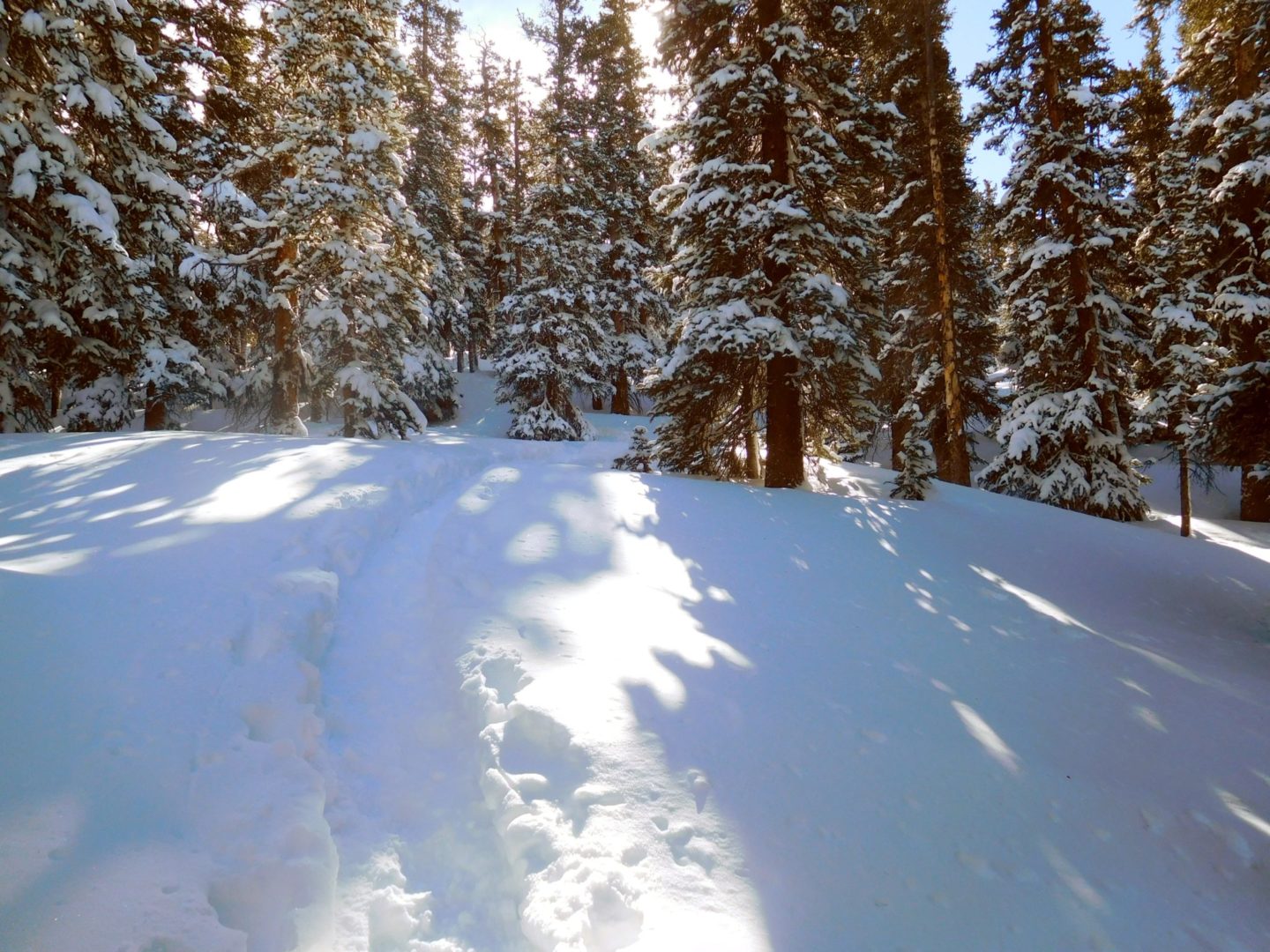
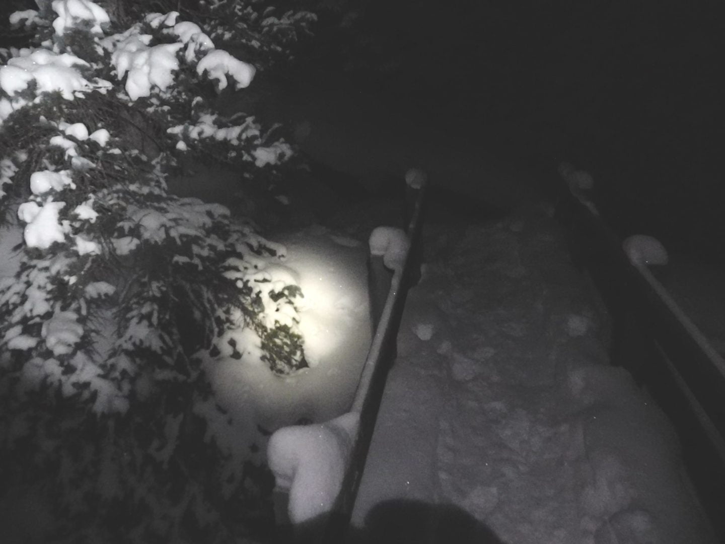
Hiking in the early morning while the snow is still frozen, which can support me without snowshoes.
Hiking in the early morning while the snow is still frozen, which can support me without snowshoes.
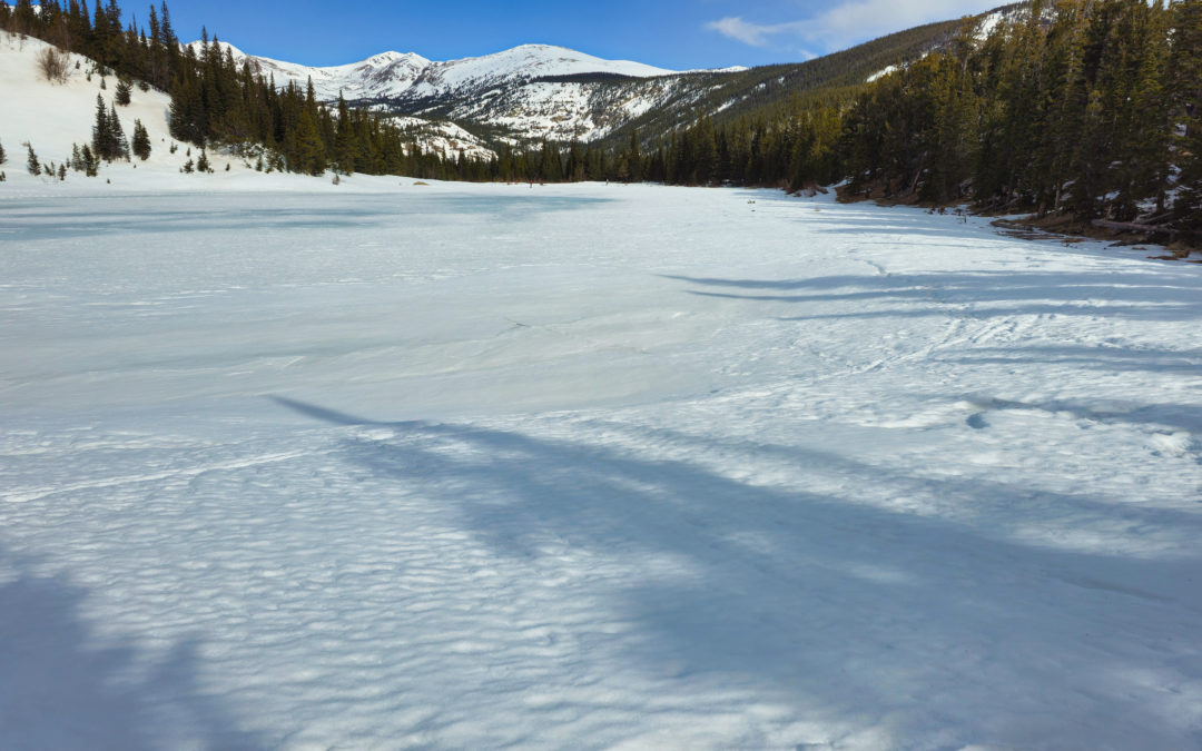
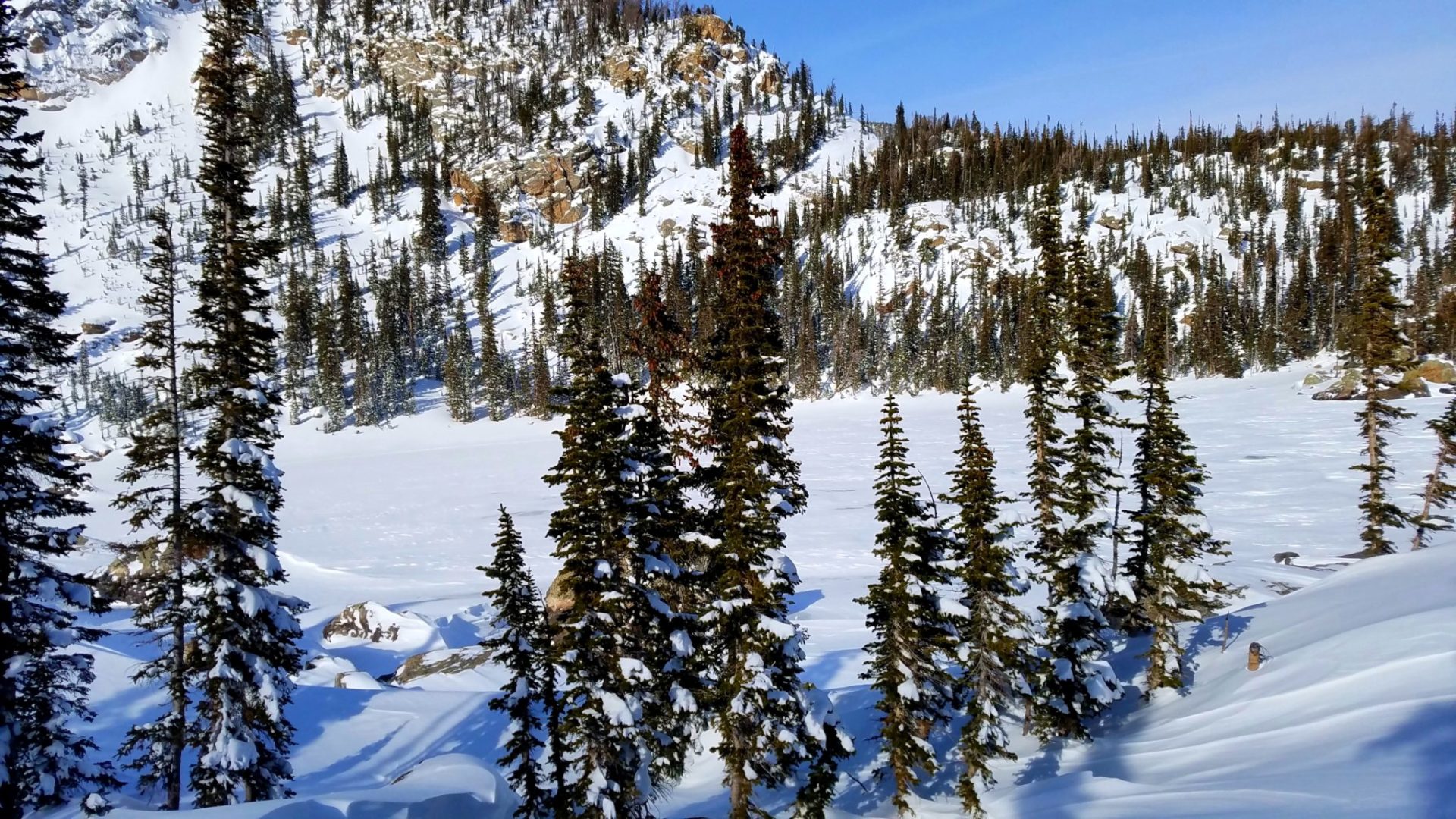
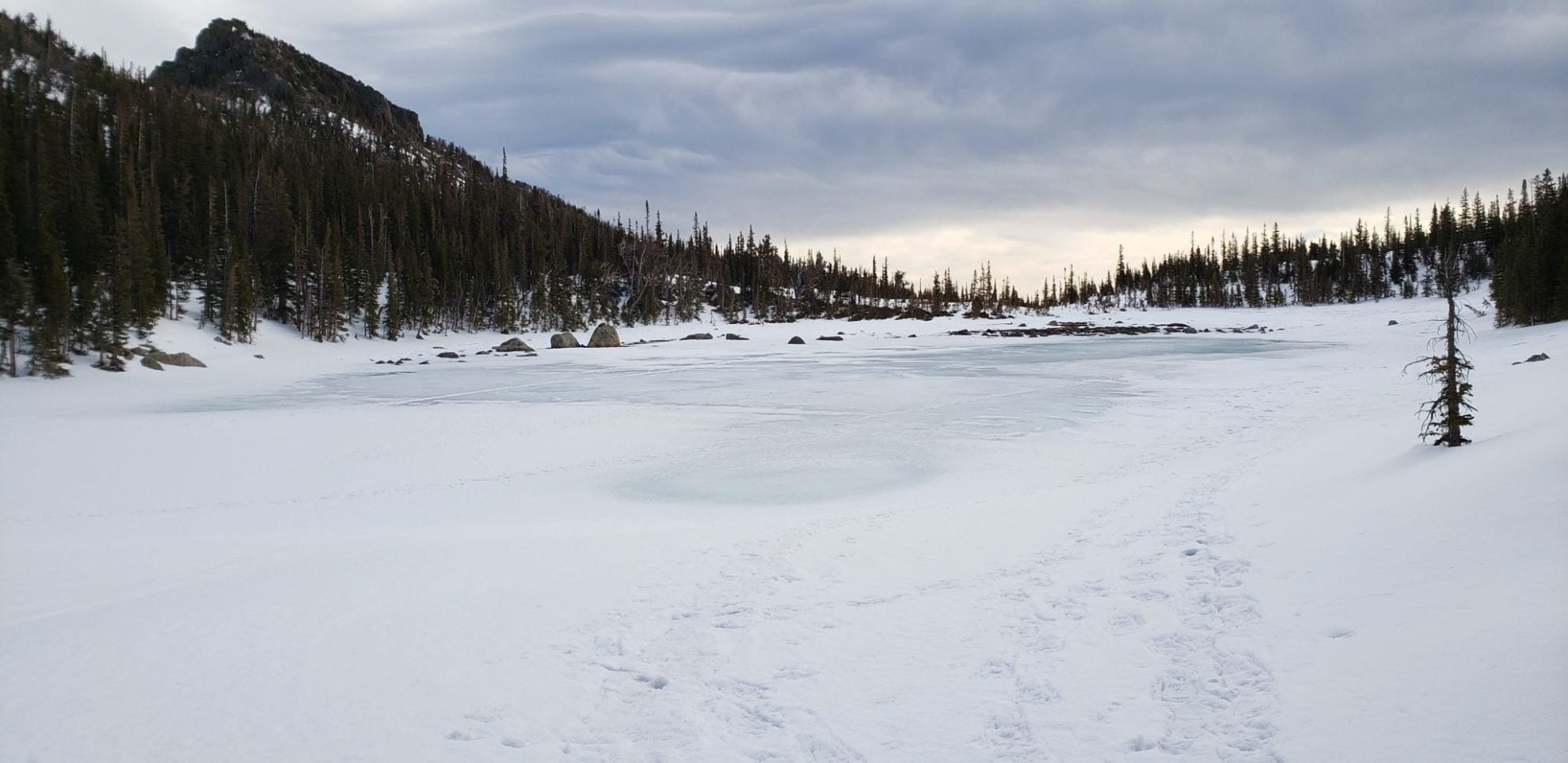
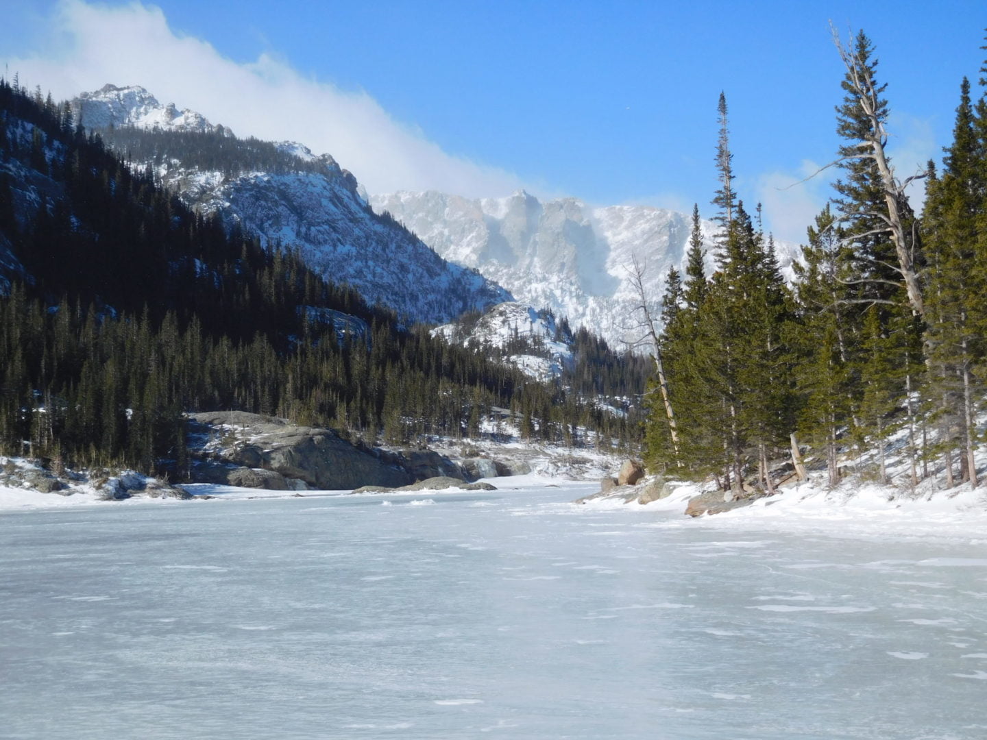
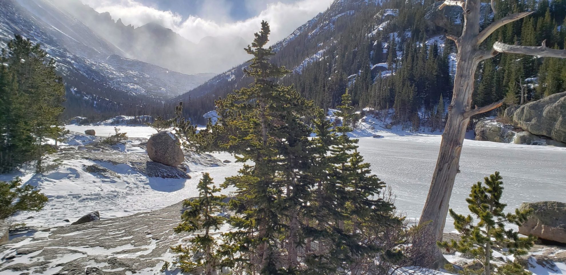
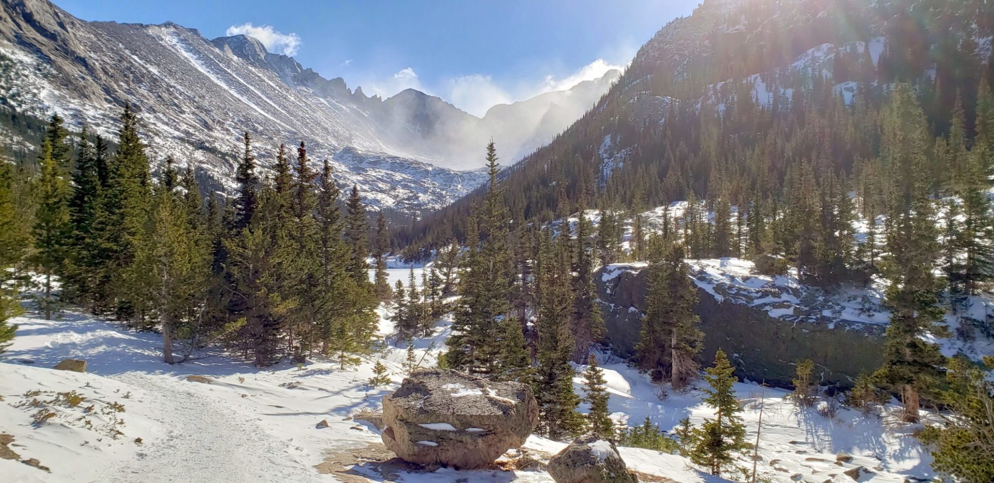
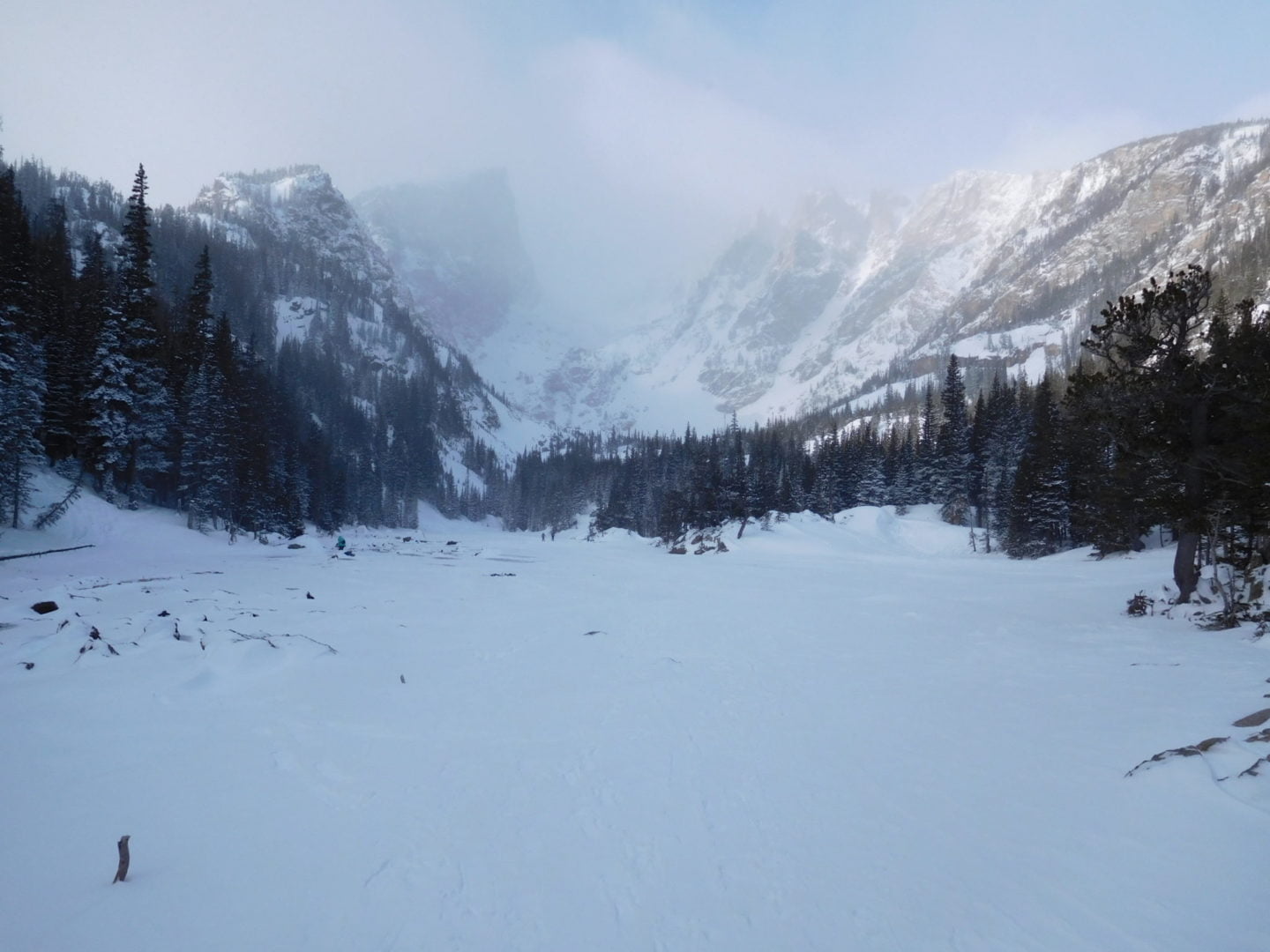
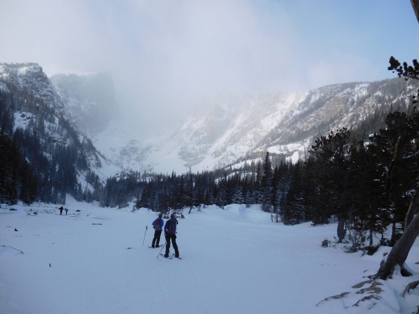
First glimpse of Lost Lake
First glimpse of Lost Lake
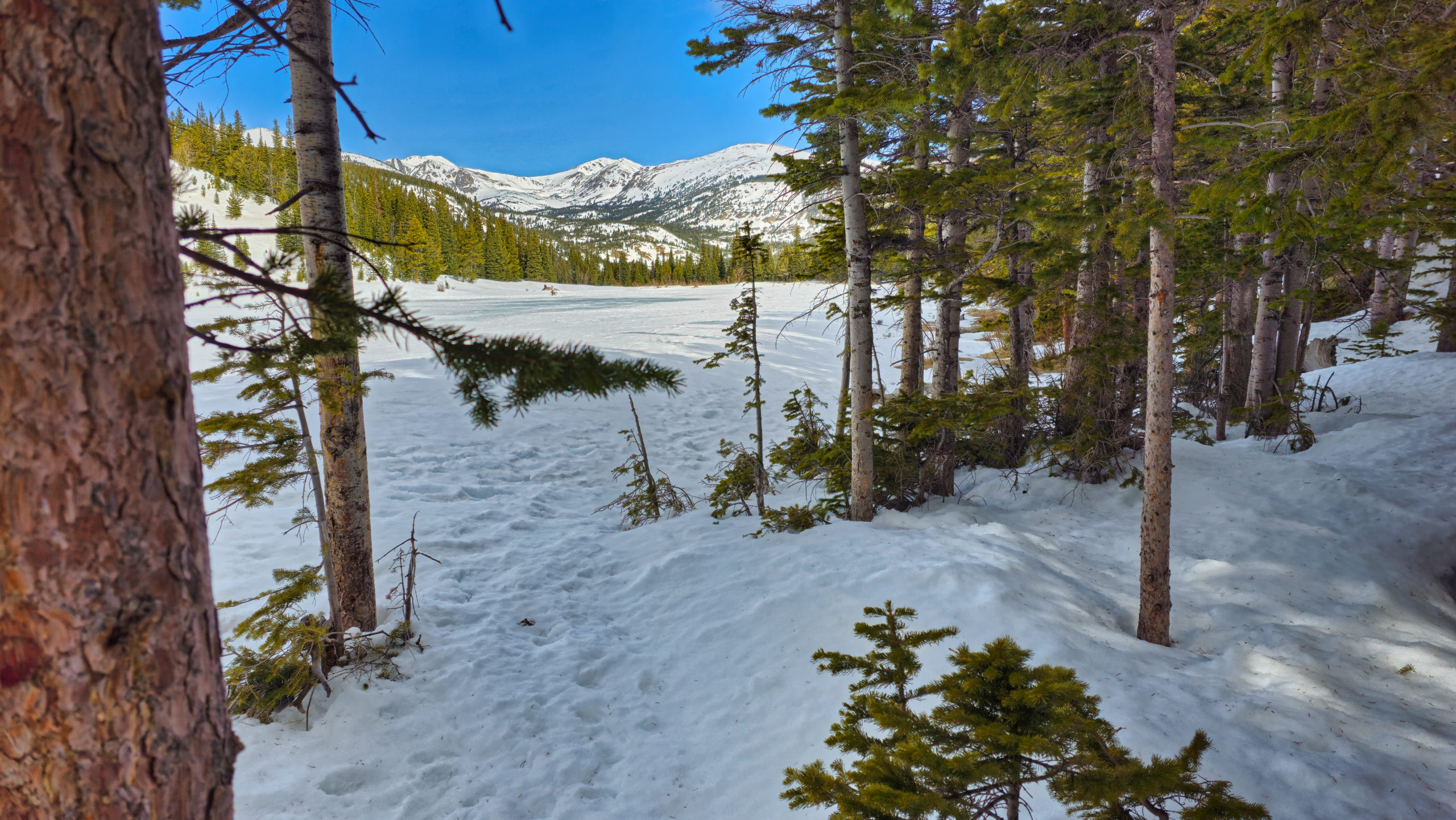
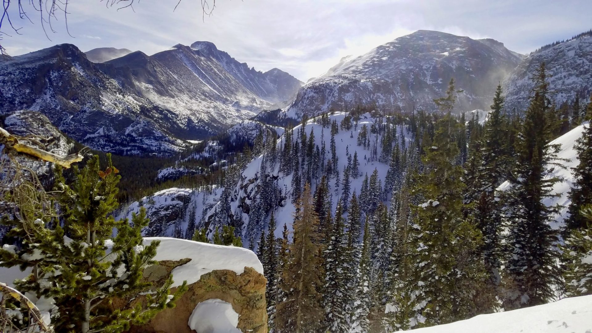
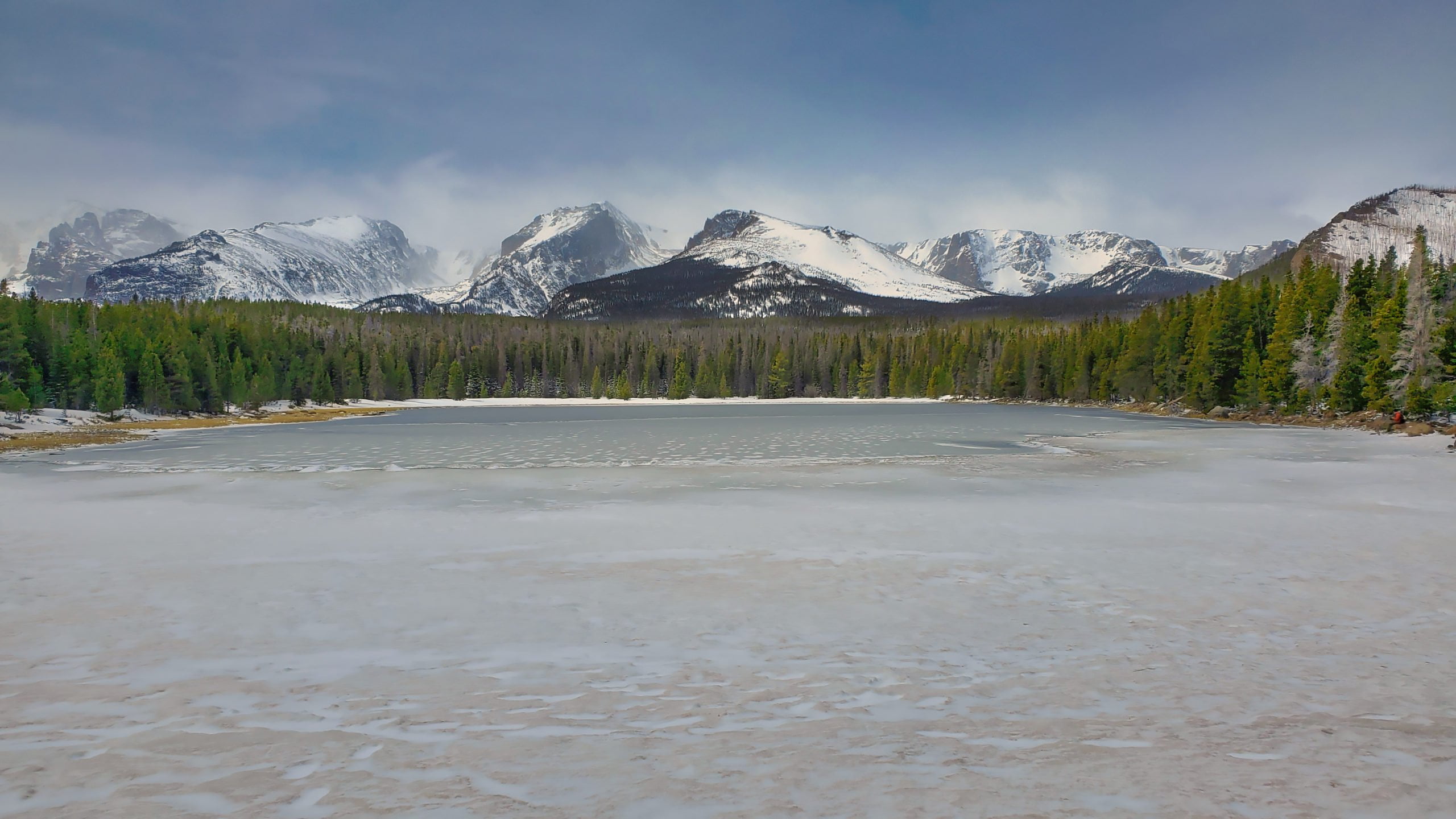
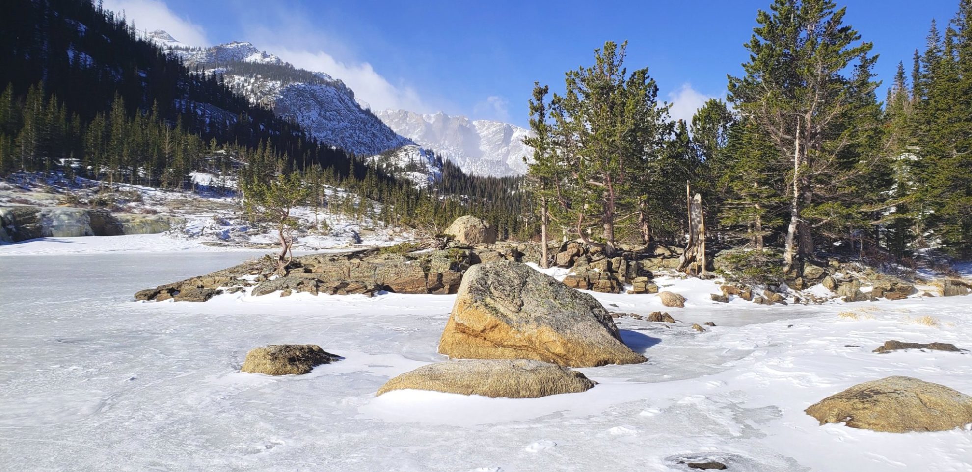
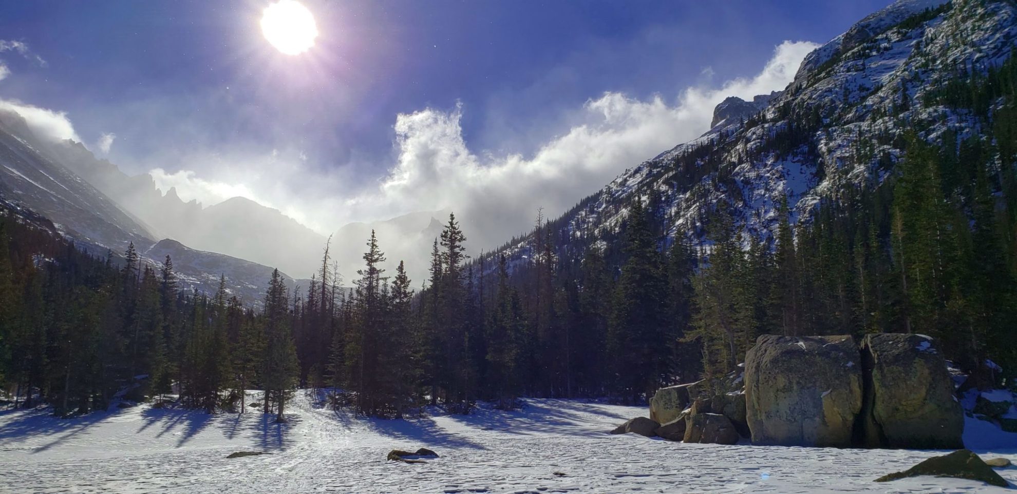
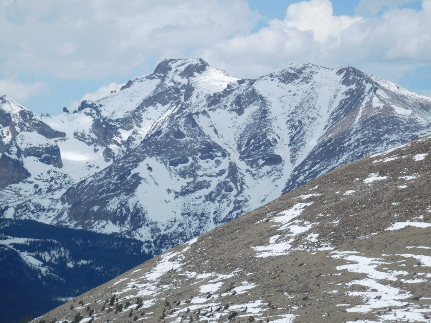
View from the north shore.
View from the north shore.
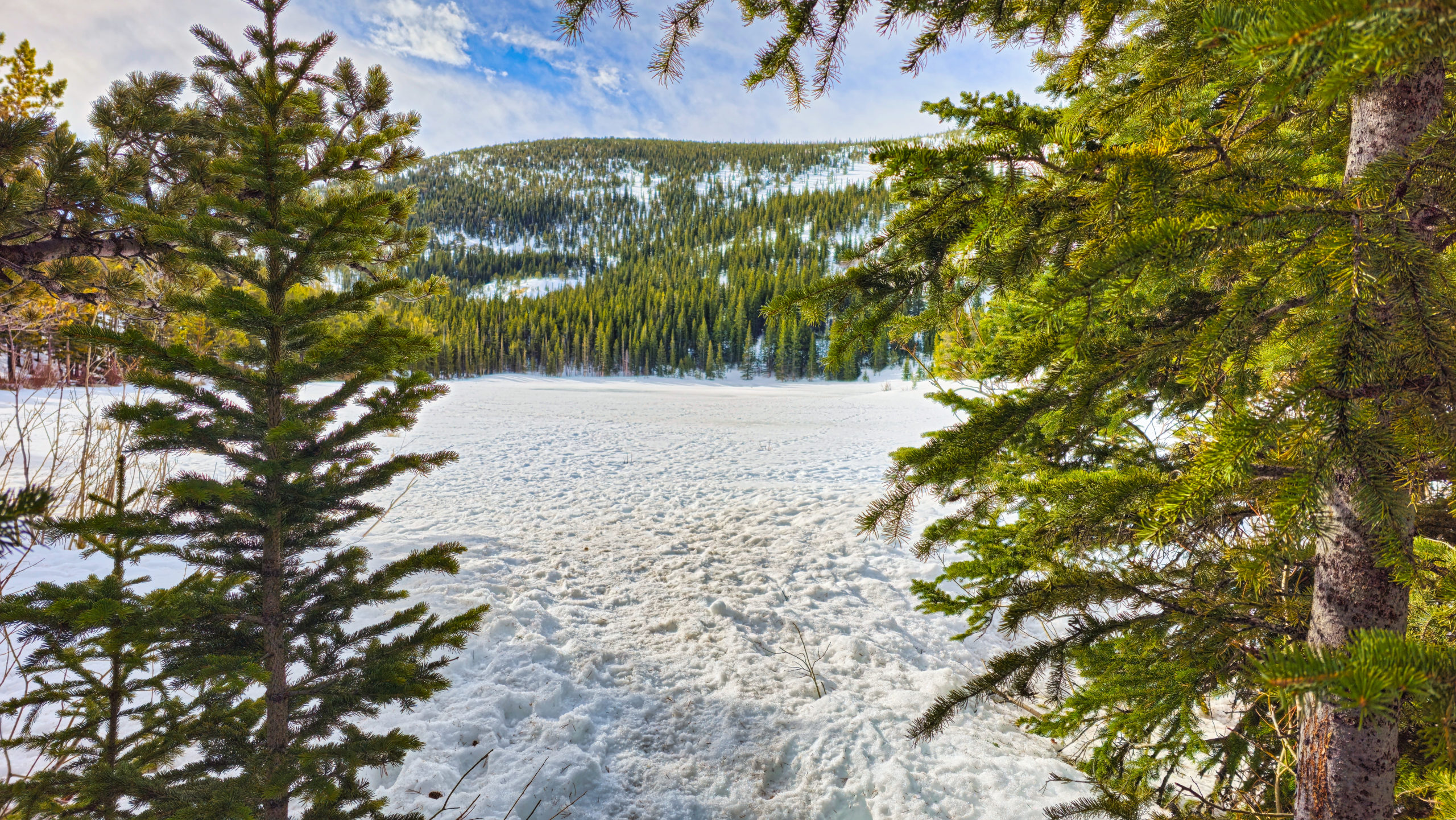
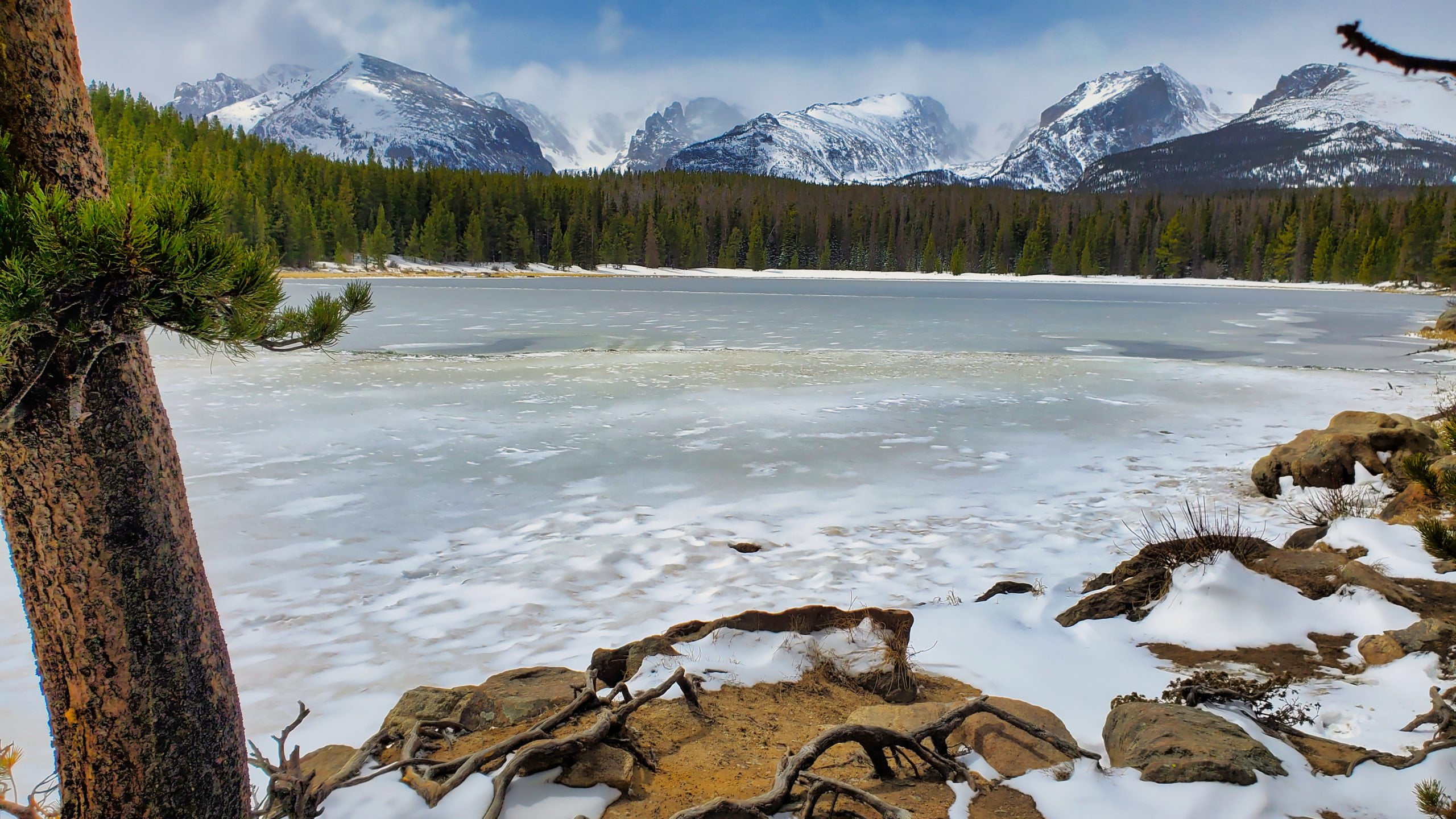
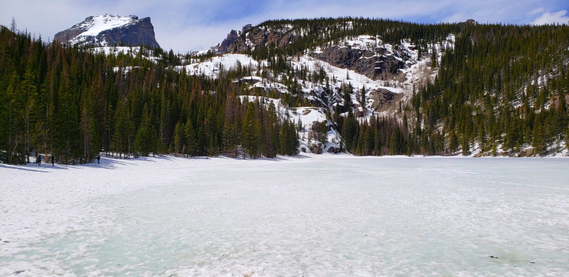
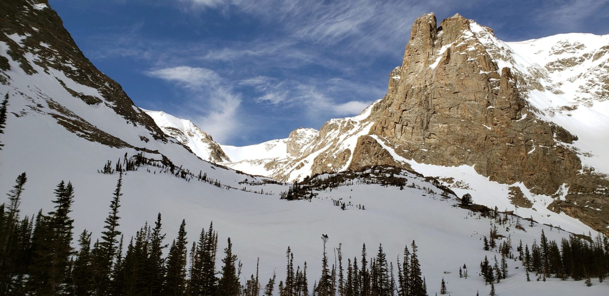
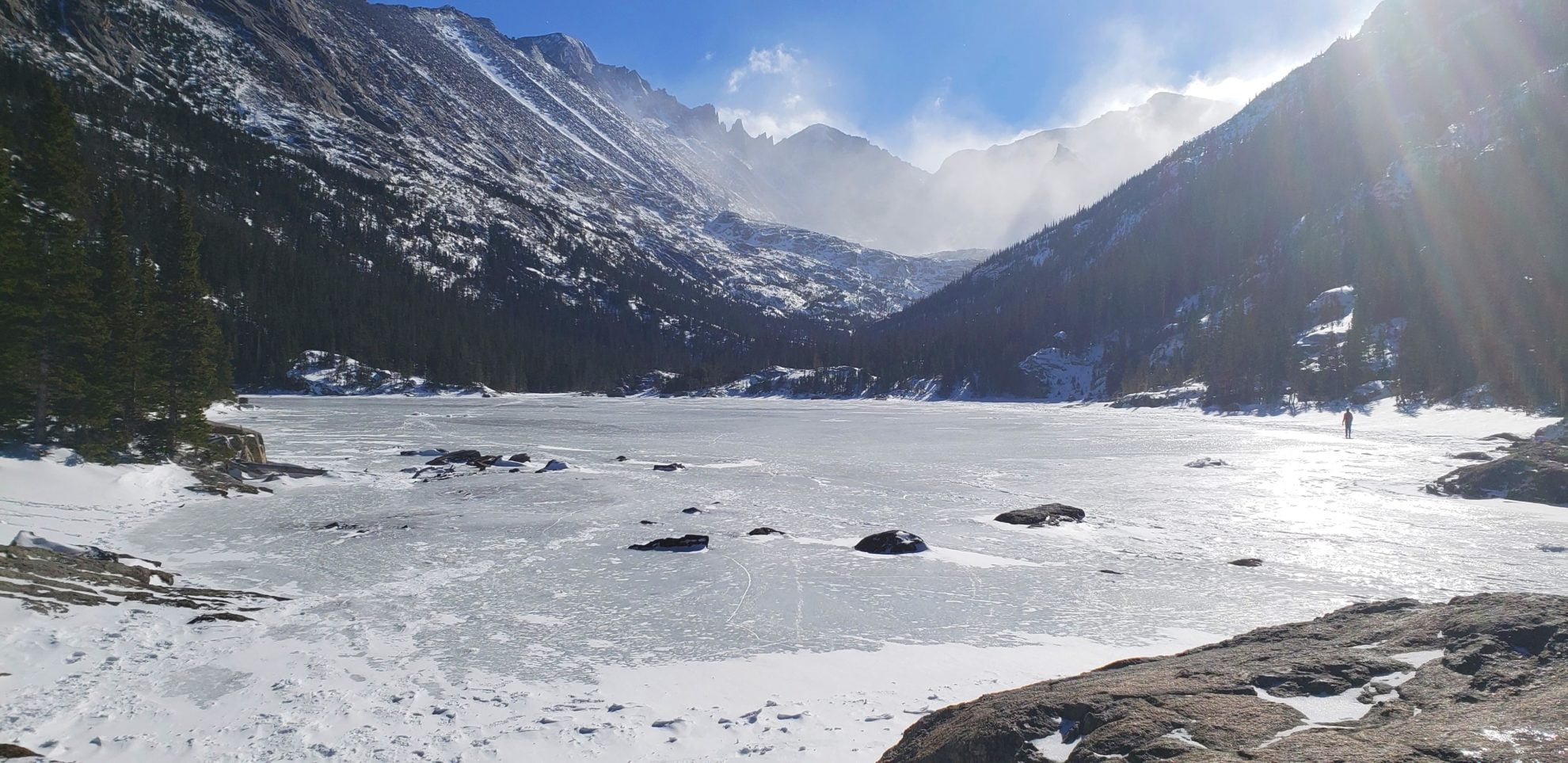
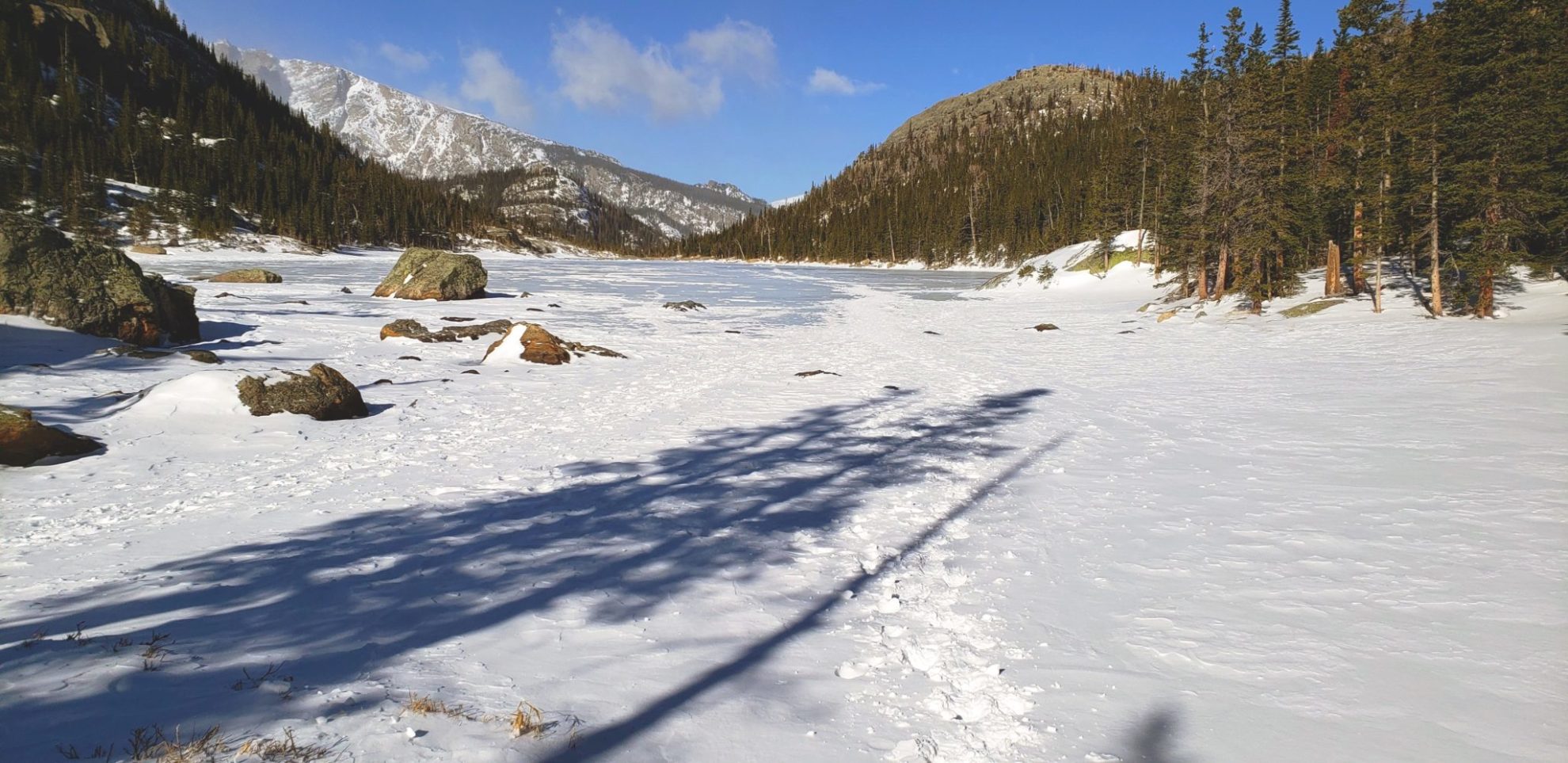
View from the south shore of Lost Lake
View from the south shore of Lost Lake
GPX with Elevation
Video Tour
Trail Directions
From the Hessie Trailhead, cross the footbridge and take the Devil’s Thumb Trail (#902), which climbs steeply for about a 1/2 mile on an old road. Do not take the Devil’s thumb Bypass, which turns right (north) in 0.9 miles, just before the bridge. Instead, cross the bridge and stay on the main Devil’s Thumb Trail.
It is 1.1 miles from the trailhead to the Lost Lake Trail junction. Turn left (south) following signs for Lost Lake Trail #813. The lake is up another 1/2 mile on a good trail.
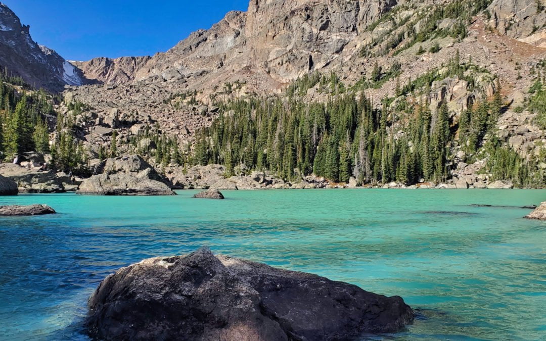
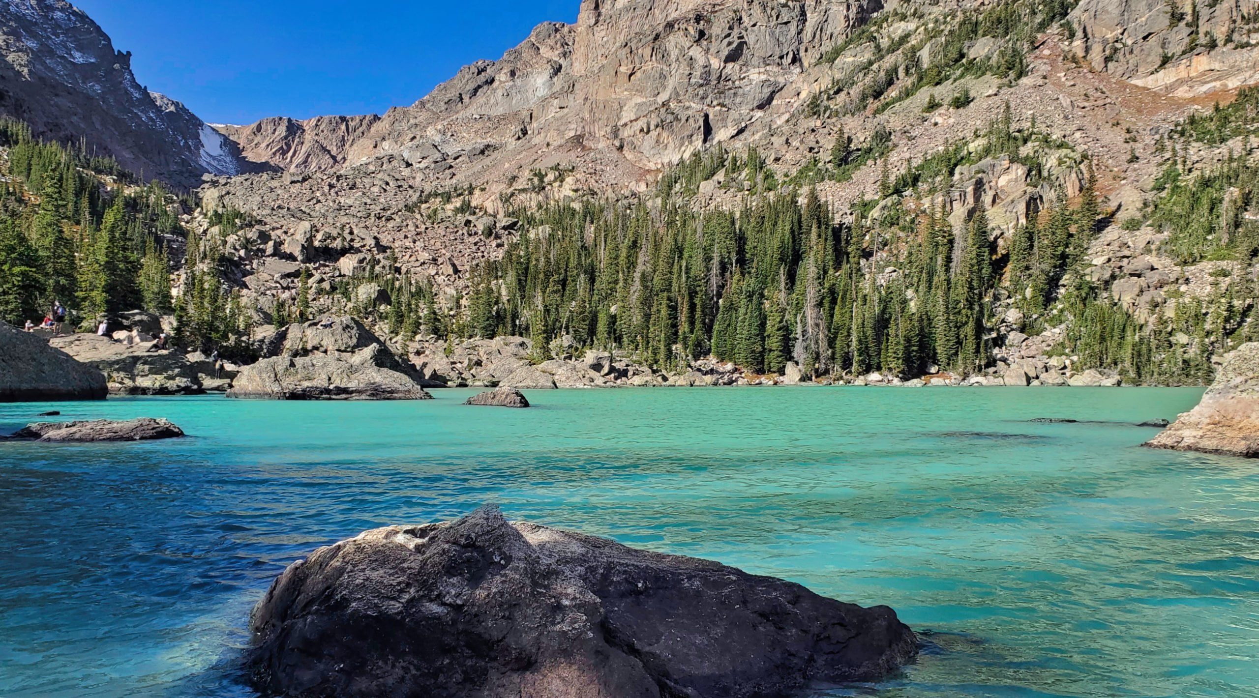
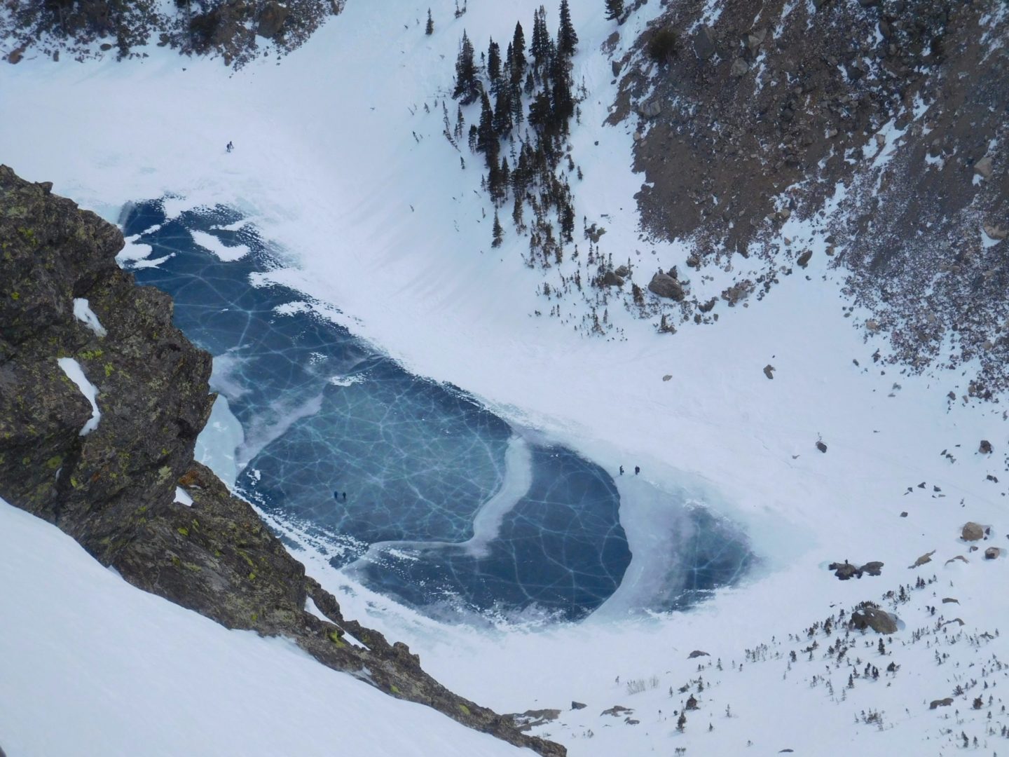
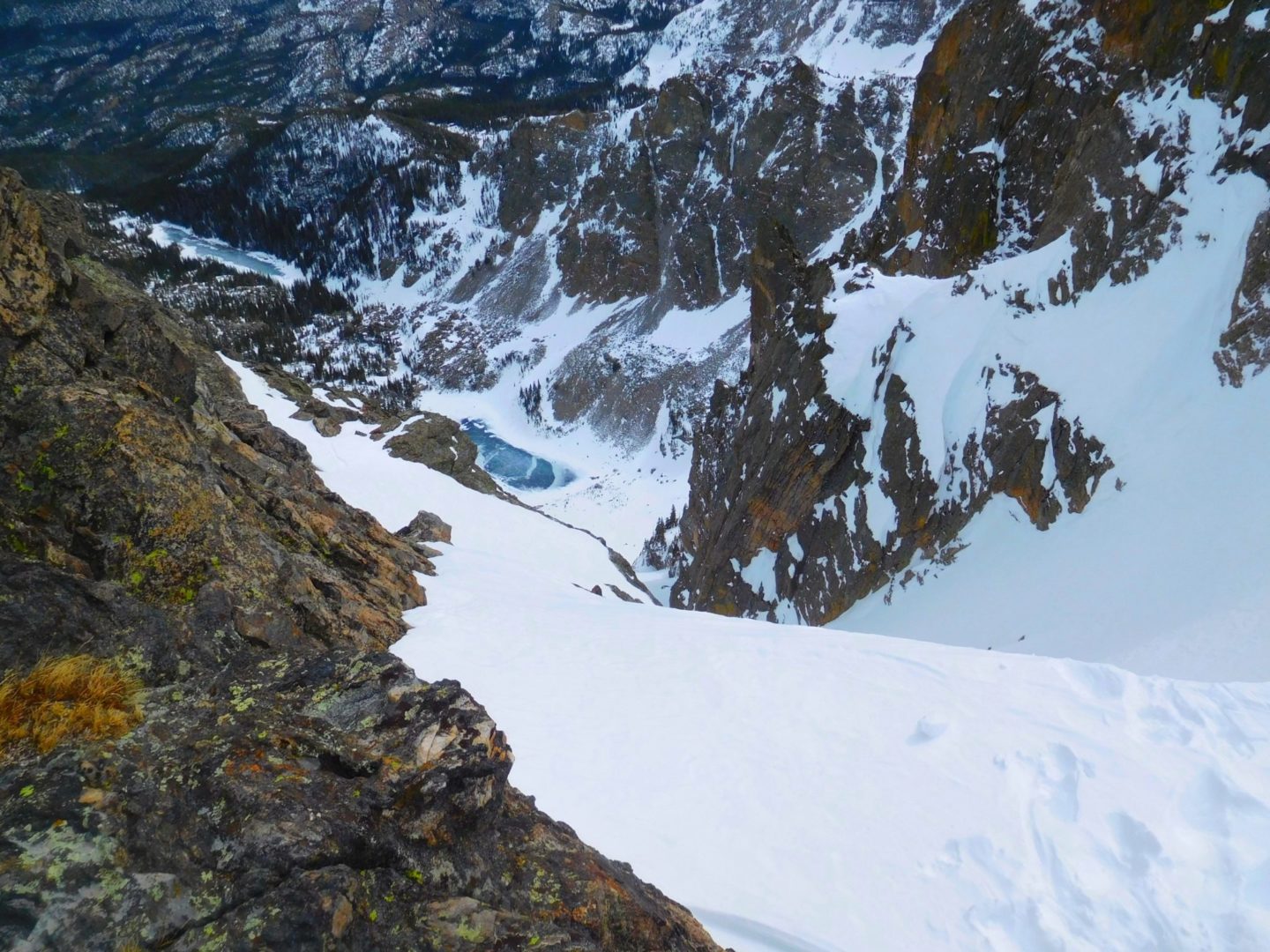
Lake Haiyaha is a secluded, boulder-riddled lake in lower Chaos Canyon. Hallett Peak (12,713′) and Otis Peak (12,486′) tower over the lake, and are situated on the Continental Divide, making for spectacular scenery. The shores of the lake are home to some of the oldest trees in Rocky Mountain National Park. The final .25 mile approach to the shore is guarded by large boulders requiring minor scrambling to reach the lake.
Haiyaha is an indigenous word that means “rock” or “lake of many rocks”, or “big rocks”, depending on the translation.
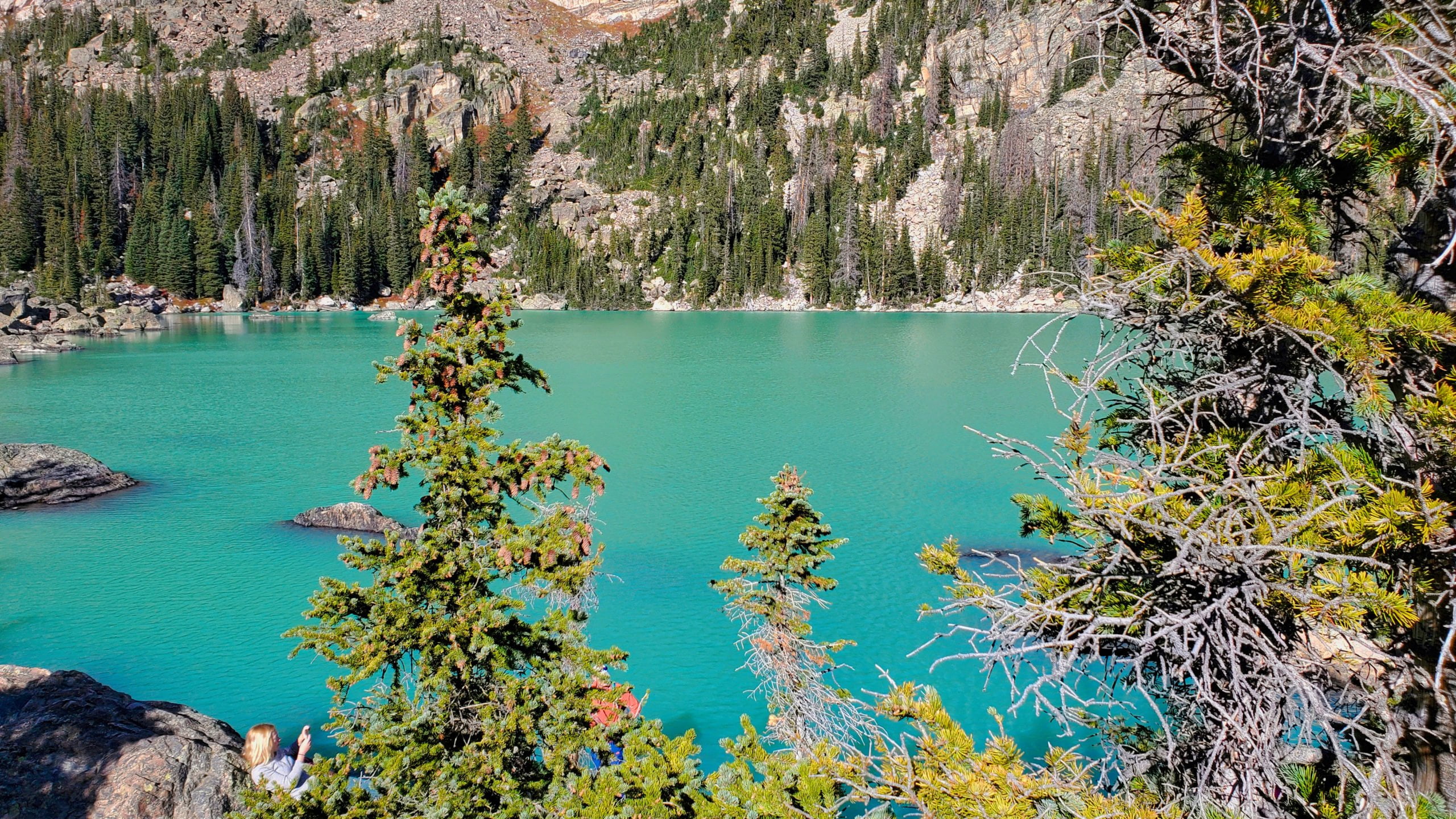
In the summer of 2022 a landslide occured in Chaos Canyon causing the water to turn from clear to a bright turquoise overnight. This makes the color of the lake unique in the area, and presently it is unknown when it will revert back to clear waters.
The lake with Hallett Peak in the background
The lake with Hallett Peak in the background
The silt from a landslide caused the lake to turn turquoise
The silt from a landslide caused the lake to turn turquoise
The color is unlike any of the other nearby lakes
The color is unlike any of the other nearby lakes
The color change is supposed to be non toxic to existing life
The color change is supposed to be non toxic to existing life
The lake is very bright in the sunlight
The lake is very bright in the sunlight
Chaos Canyon behind the lake
Chaos Canyon behind the lake
Currently unique in color among lakes in the area
Currently unique in color among lakes in the area
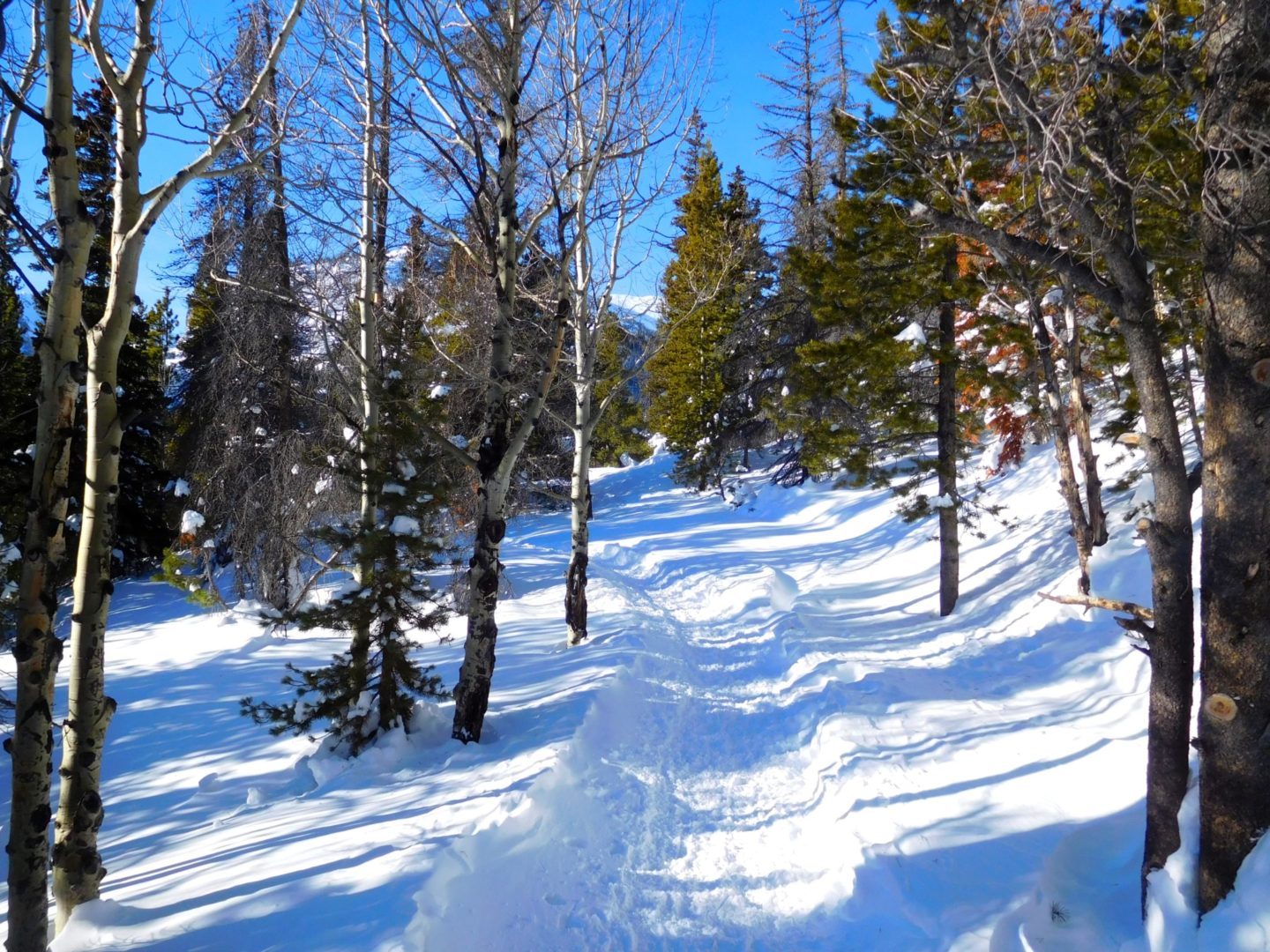
Trail Pictures Jan. 2017
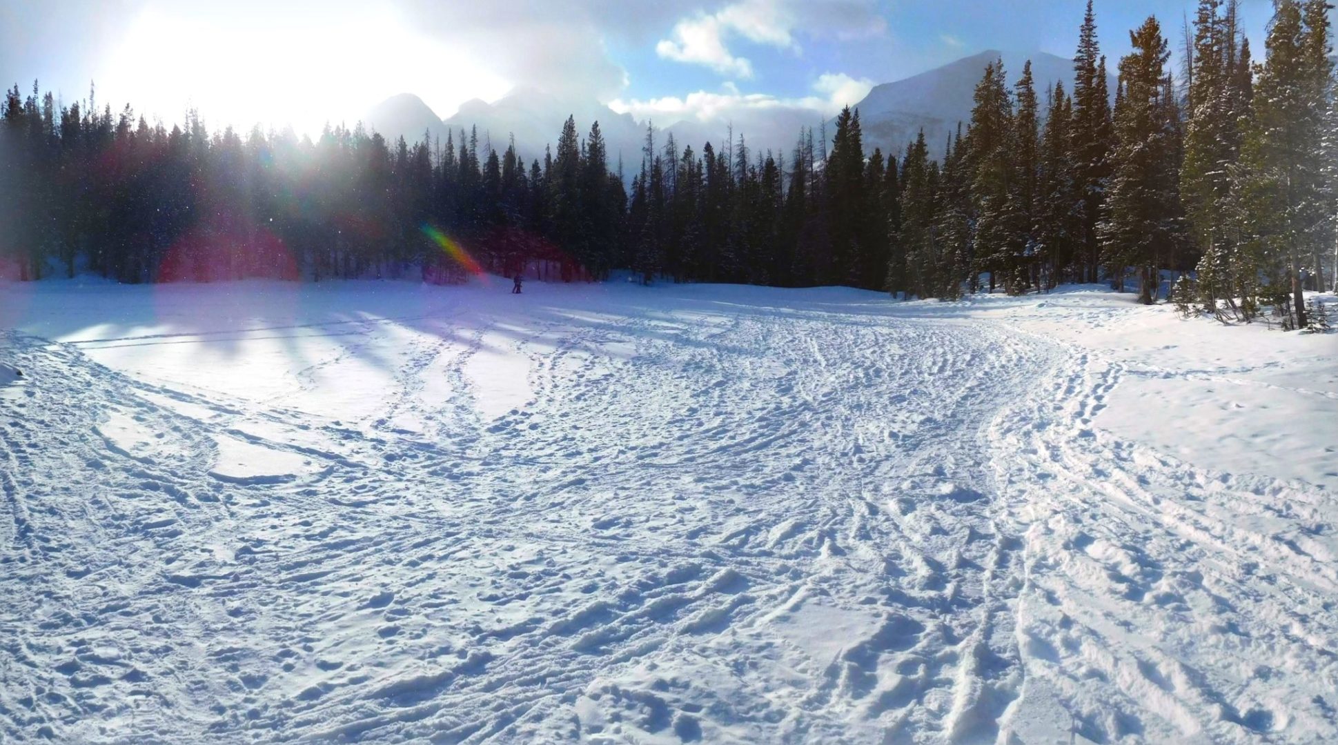
Easy trail to Nymph Lake
Easy trail to Nymph Lake
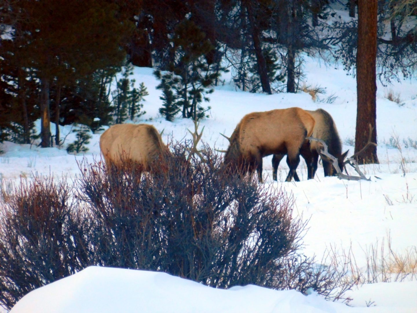
Male elk also nearby
Male elk also nearby
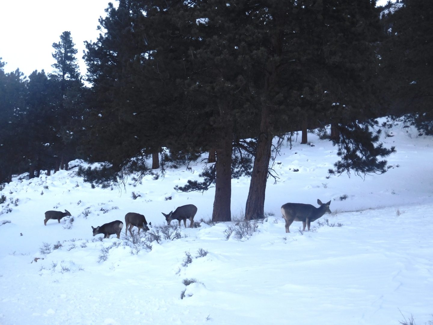
White tailed deer near the coyotes
White tailed deer near the coyotes
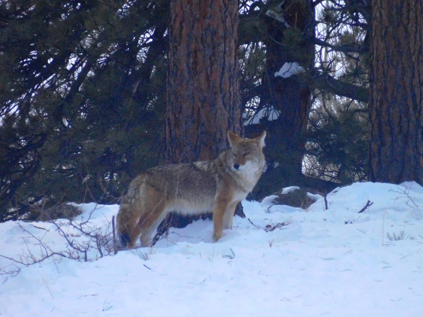
Coyote near Nymph Lake
Coyote near Nymph Lake
Coyote stayed behind to keep eye on me
Coyote stayed behind to keep eye on me
Waiting for the pack
Waiting for the pack
Pack of Coyotes near Nymph Lake
Pack of Coyotes near Nymph Lake
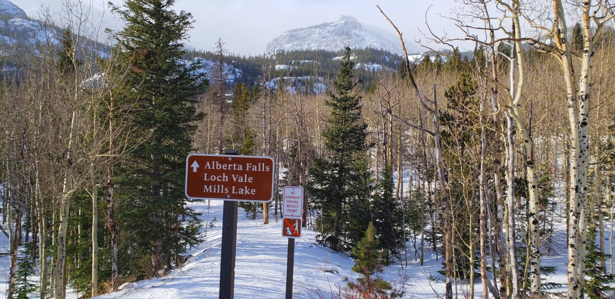
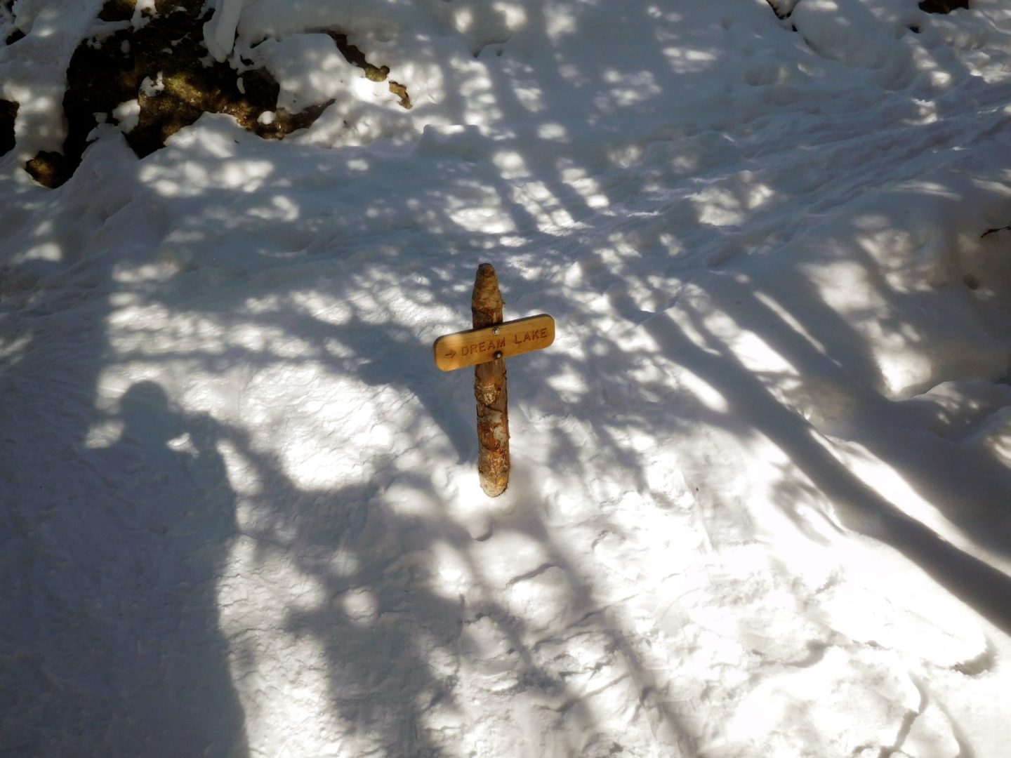
Turn off just before Dream Lake
Turn off just before Dream Lake
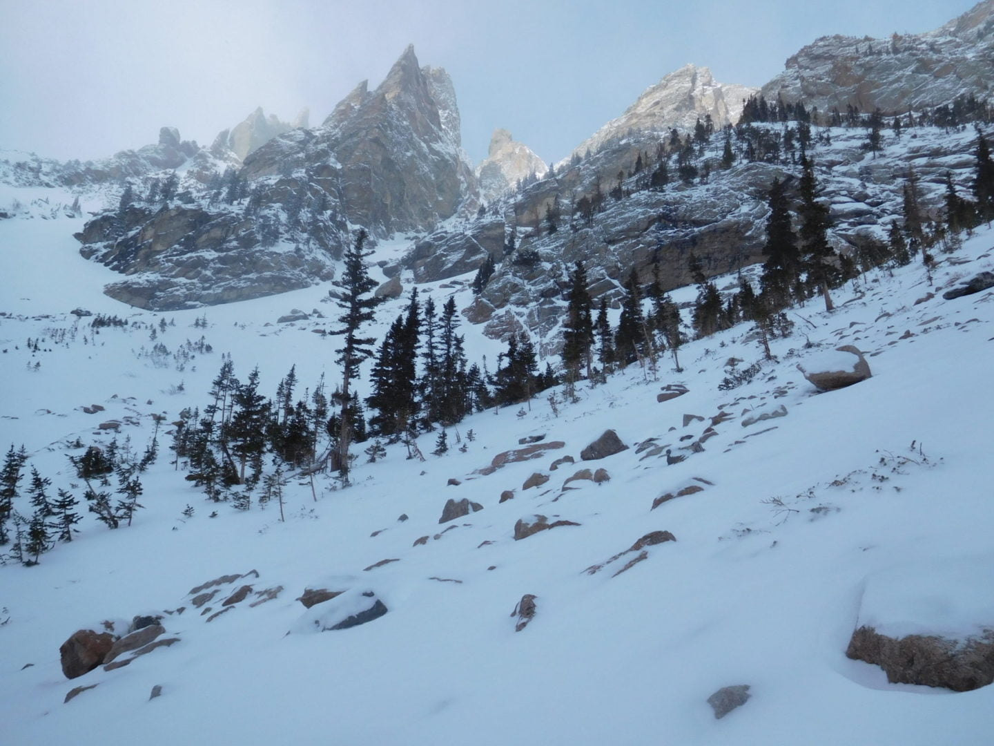
Looking into Chaos Canyon
Looking into Chaos Canyon
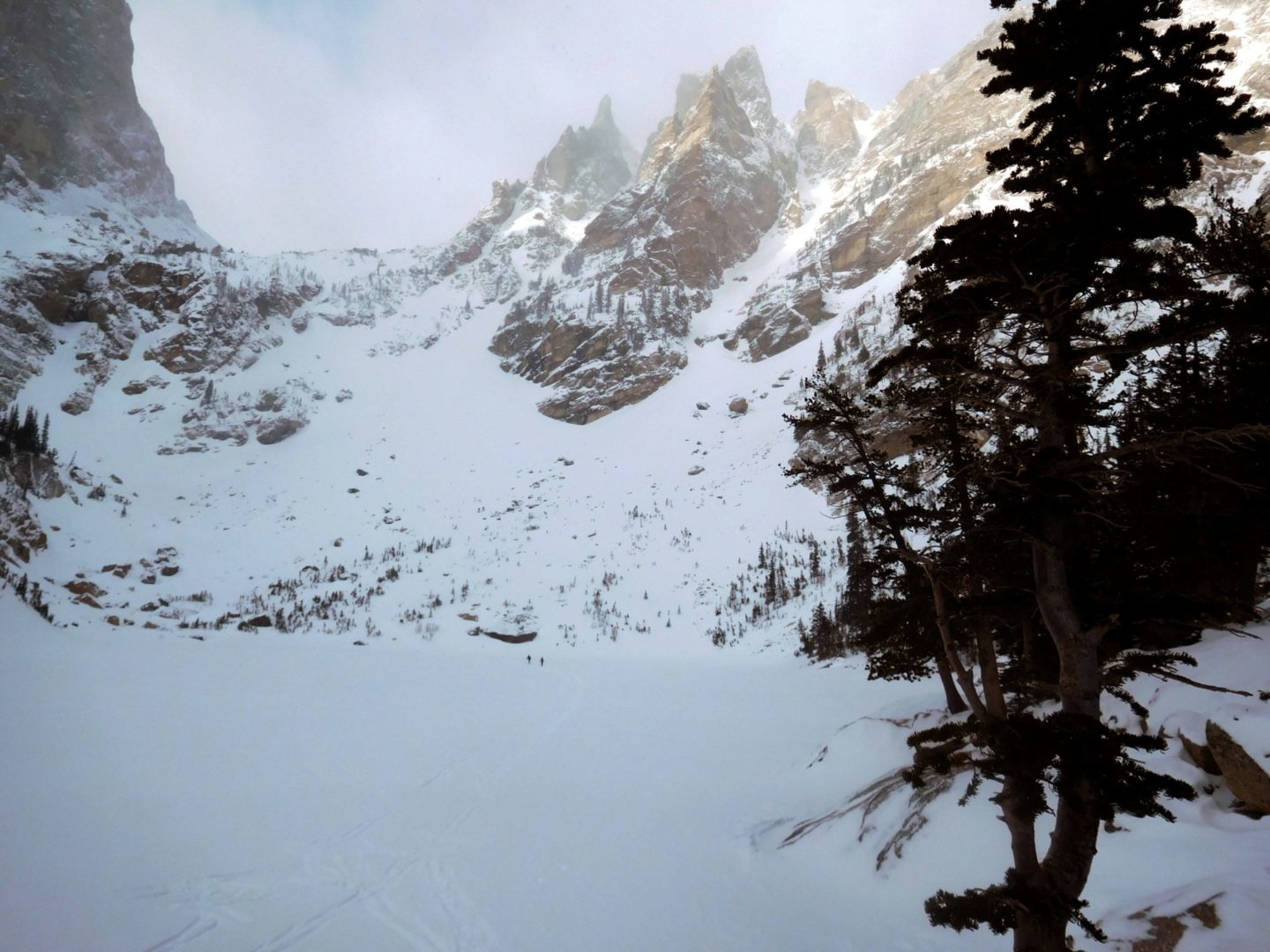
The lake is just ahead
The lake is just ahead
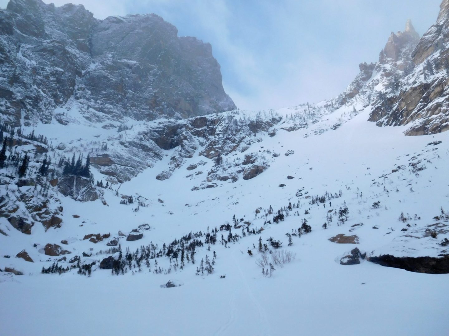
First view of Chaos Canyon
First view of Chaos Canyon
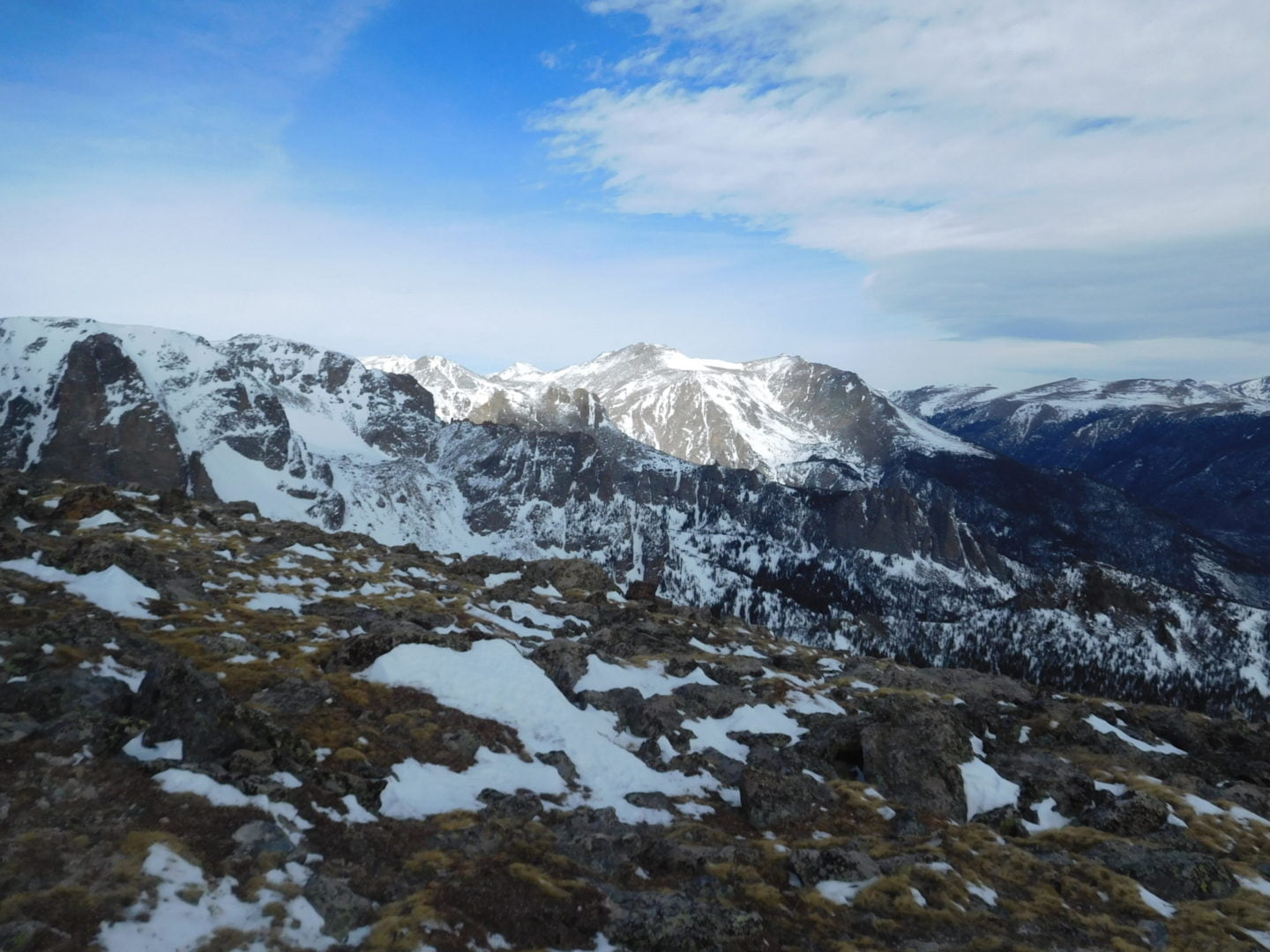
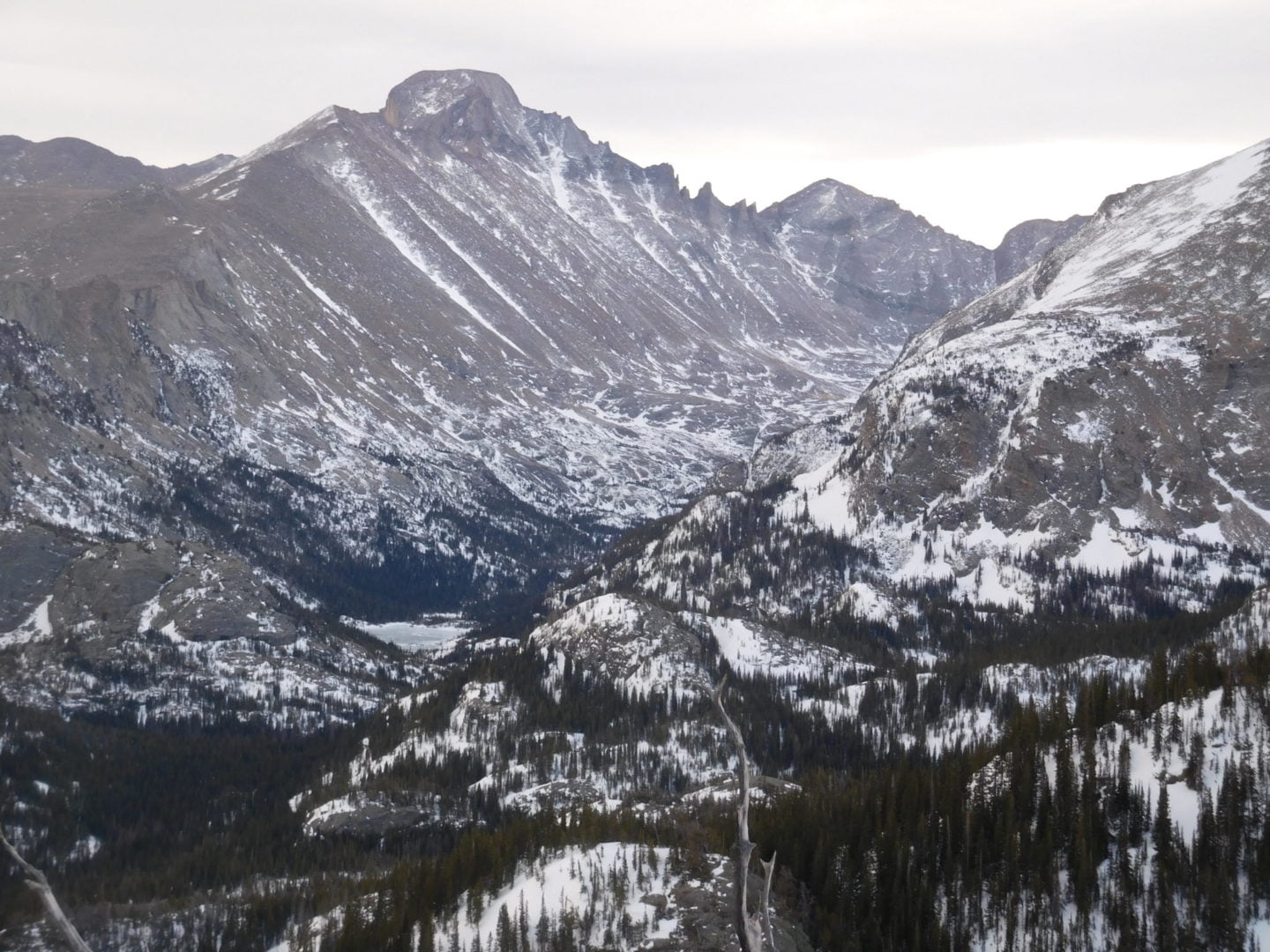
View of Longs Peak and Thatchtop Mountain
View of Longs Peak and Thatchtop Mountain
Dream Lake in the morning
Dream Lake in the morning
Hallett Peak
Hallett Peak
Nymph Lake from above
Nymph Lake from above
Nymph Lake with Longs Peak in the background
Nymph Lake with Longs Peak in the background
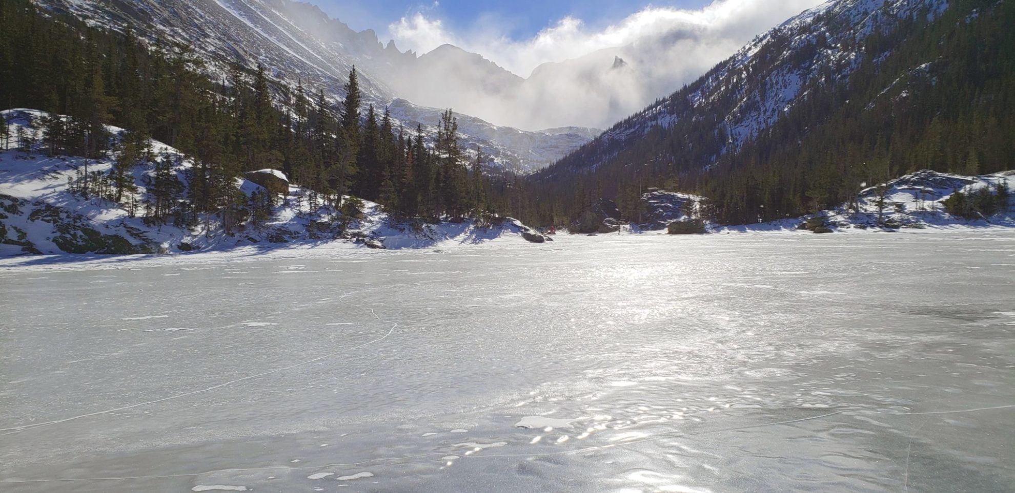
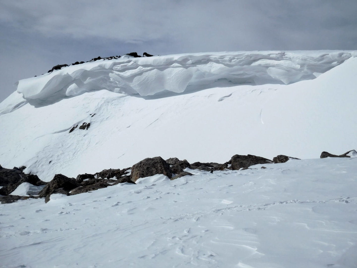
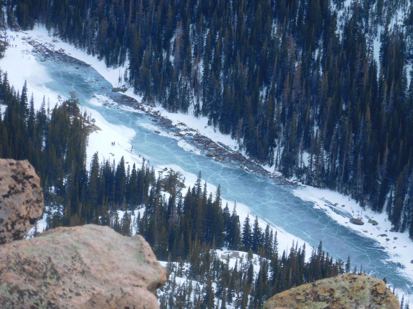
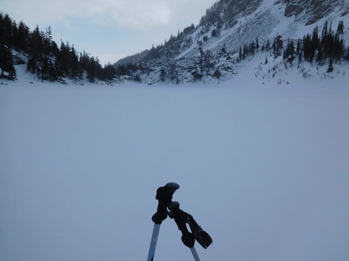
Large crack in the ice
Large crack in the ice
View of Hallett Peak and Lake Haiyaha
View of Hallett Peak and Lake Haiyaha
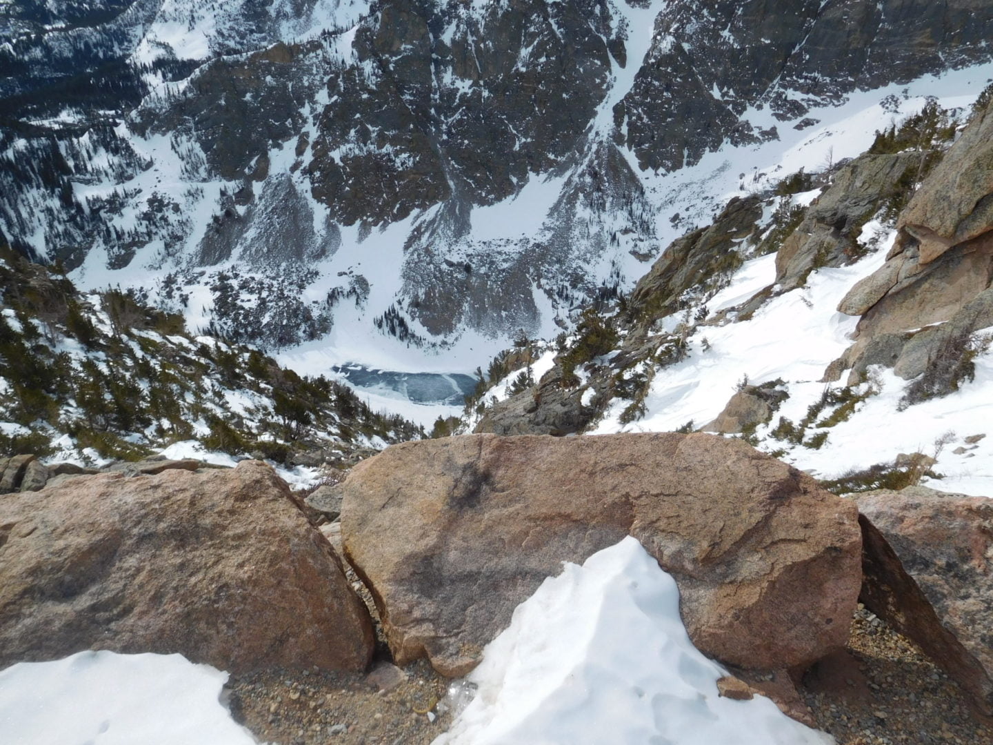
Frozen Lake Haiyaha
Frozen Lake Haiyaha
Dream Lake on the way back
Dream Lake on the way back
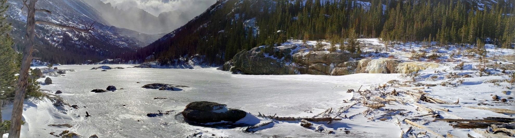
Panorama of Lake Haiyaha
Panorama of Lake Haiyaha
Lake Haiyaha GPS Route with Elevation
Video Tour
Trail Directions
The trail begins alongside Bear Lake and climbs westward towards Tyndall Gorge, passing Nymph Lake along the way. Past Nymph Lake the trails climbs again to Dream Lake.
Once there, the trail moves up a southward slope into the Chaos Canyon drainage and arrives at the lake, located at timberline along Chaos Creek. The lake and Chaos Canyon are known for excellent bouldering.
Bierstadt Lake sits atop a forested moraine, which is a ridge composed of material left behind thousands of years ago by receding glaciers. The lake was formed when a dam was made from glacial debris deposits. Water from the lake drains into Mill Creek within the Mill Creek basin, a flat valley with a scenic meadow.
The lake’s east end provides the best look at the Continental Divide, with standouts such as Otis Peak (12,486′), Hallet Peak (12,713′), Flattop Mountain (12,324′), Ptarmigan Point (12,363′) and Notchtop Mountain (12,129′).
Bear Lake Rd below winding it’s way to Glacier Gorge
Bear Lake Rd below winding it’s way to Glacier Gorge
View west from the switchback trail
View west from the switchback trail
View of Mt Meeker, Longs Peak, and Thatchtop Mountain
View of Mt Meeker, Longs Peak, and Thatchtop Mountain
View of the Continental Divide from the trail
View of the Continental Divide from the trail
View to the east from the trail
View to the east from the trail
Northeastern view of Bierstadt Lake
Northeastern view of Bierstadt Lake
Notchtop Mountain in the center
Notchtop Mountain in the center
View northwest from the lake
View northwest from the lake
Spring melt has started
Spring melt has started
20220424_120759
Snowy Otis Peak, Hallet Peak, and Flattop Mountain
Bierstadt Lake surrounded by a heavy forest
Bierstadt Lake surrounded by a heavy forest
The forest surrounding Bierstadt Lake
The forest surrounding Bierstadt Lake
View of Longs Peak from Bierstadt Lake
View of Longs Peak from Bierstadt Lake
Lunch with a view
Lunch with a view
Shoreline of Bierstadt Lake
Shoreline of Bierstadt Lake
Chipmunk investigating the intruder
Chipmunk investigating the intruder
Chipmunks are common in the park
Chipmunks are common in the park
View along the northern shoreline
View along the northern shoreline
On top of the moraine heading to Bierstadt Lake
On top of the moraine heading to Bierstadt Lake
Deep snow in the woods in late April
Deep snow in the woods in late April
Grreat views west along the Bierstadt trail
Grreat views west along the Bierstadt trail
Found along the trail
Found along the trail
GPX with Elevation
Video Tour
Trail Directions
An uphill 1.4-mile (2.3 km) trail with switchbacks that begins at the Bierstadt Lake Trailhead. A 0.6-mile (0.97 km) trail encircles the subalpine lake, which has a sandy beach along the eastern portion, offering the most spectacular views.
Most of the elevation gain occurs in the first three-quarters of a mile. You enter a pine forest which turns to sage with unobstructed views as you gain elevation. At the top of the moraine the trail transitions back into a dense forest again. The trail gets relatively flat as you continue to the lake.
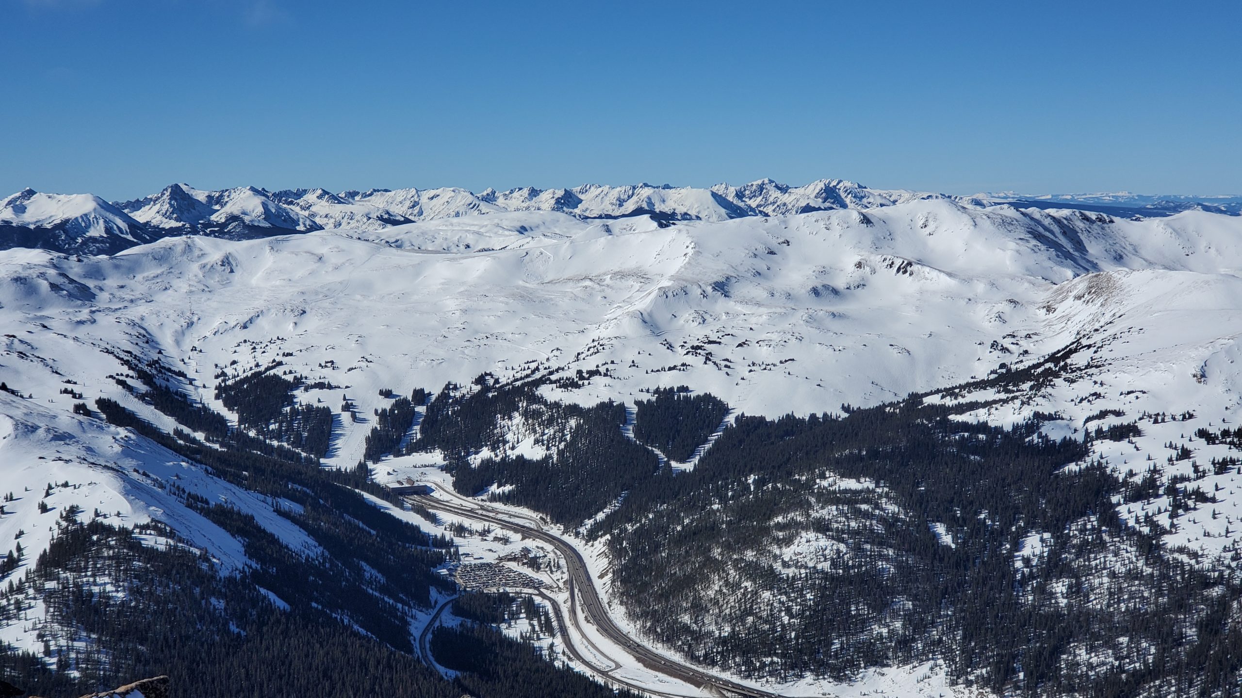
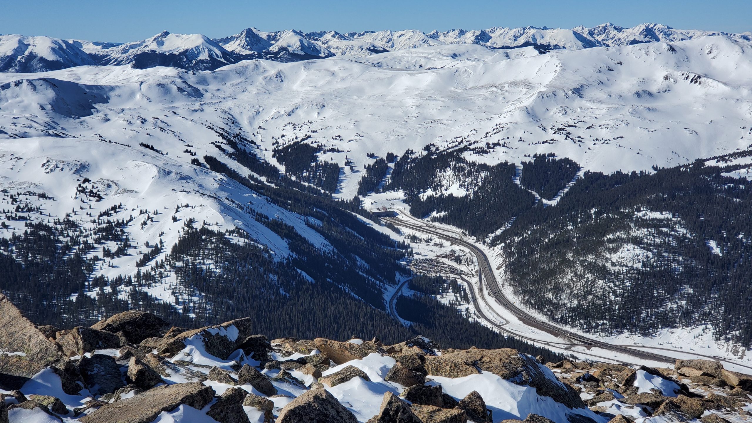
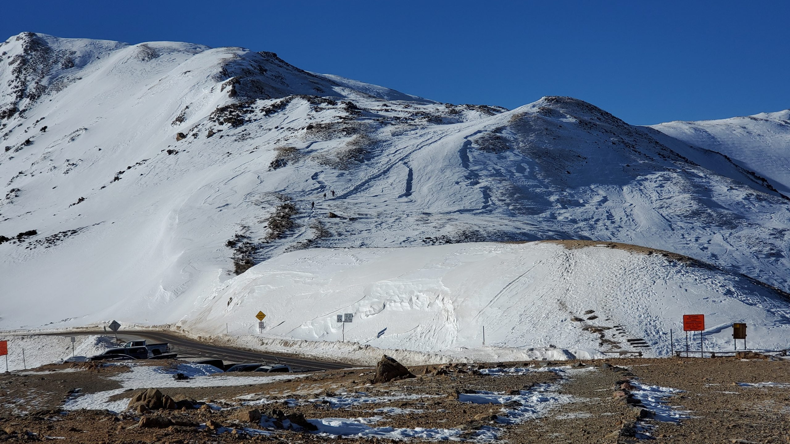
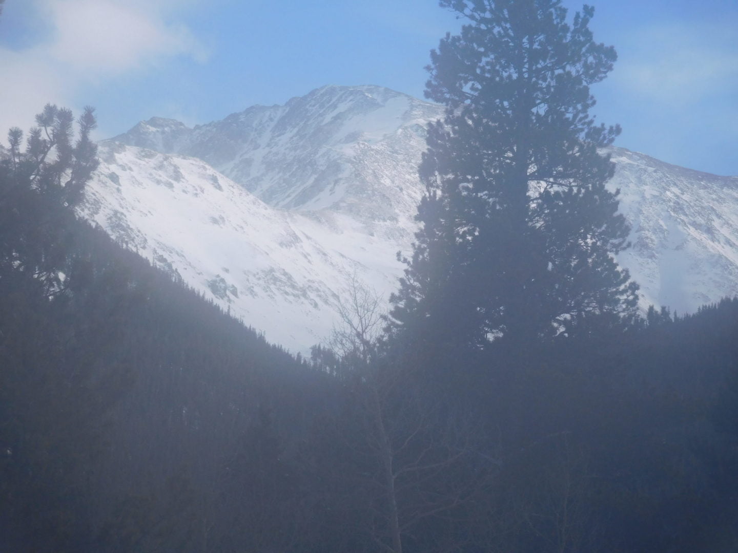
Mount Sniktau sits just east of the Continental Divide on the Front Range of the Rocky Mountains. The summit is located less than a mile south of Interstate 70, and east of the Eisenhower Tunnel. Despite being close to an Interstate and being one of the windiest places in Colorado, Mt Sniktau made the list because of the epic views from the summit.
From the ridge, you will see Loveland Pass below at 11,990 ft (3,655 m), Torreys Peak (14,267′), with Grays Peak (14,270′) popping up behind it to the southeast. There are too many more peaks to list that you can see from the summit, but some others include Mt. Evans 14,264′, Quandary Peak (14,265′), Mt. Parnassus (13er), Mt. Bard (13er), Longs Peak 14,255′, and Mt. of the Holy Cross (14,005). Also visible is the Tenmile/Mosquito Range and hundreds of other peaks. To the west are the ski runs of Loveland Ski Area, Arapahoe Basin, Keystone, and Breckenridge across the Continental Divide. What a view!
The name “Sniktau” refers to the pen name of Edwin H. N. Patterson, journalist and editor of the Colorado Miner in the Clear Creek County area during the 1860s. Patterson was a close friend of the famous poet, Edgar Allan Poe.
On the climb to the ridge with Loveland Pass below
On the climb to the ridge with Loveland Pass below
View of Arapaho Basin
View of Arapaho Basin
Heading to the ridge above
Heading to the ridge above
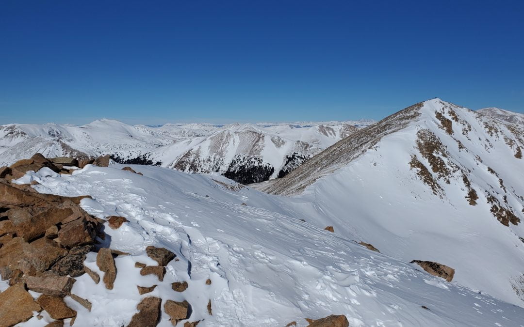
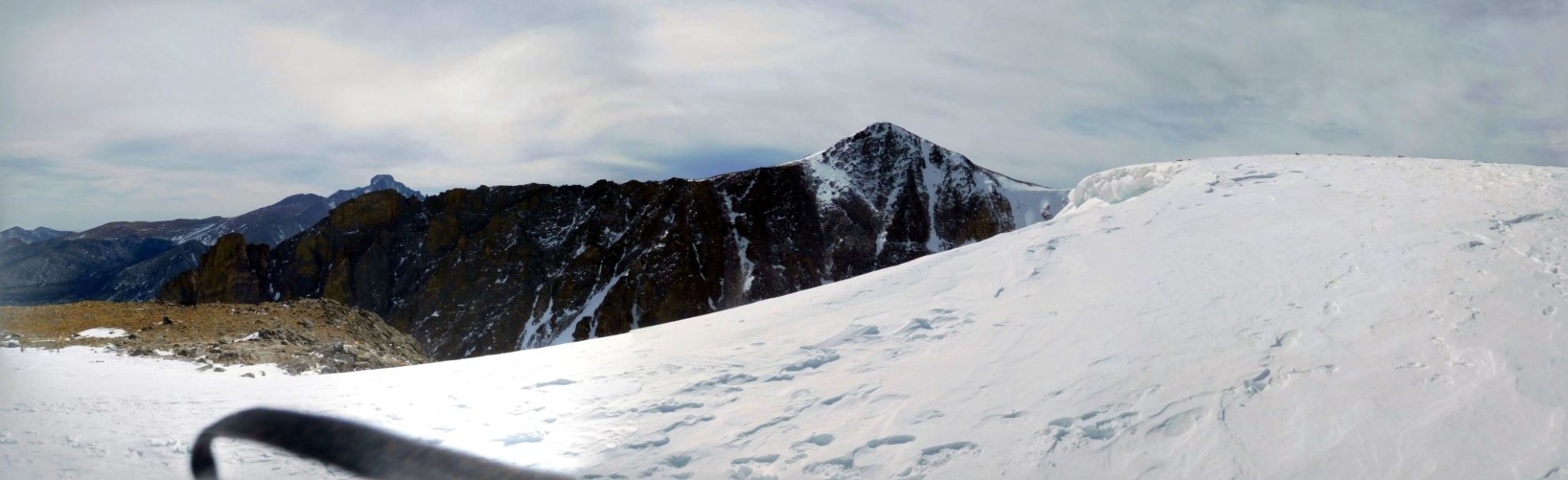
View along the ridge
View along the ridge
Looking back along the route to a false summit
Looking back along the route to a false summit
Torreys Peak 14,267′ From Mt Sniktau
Torreys Peak 14,267′ From Mt Sniktau
Looking back along the ridgeline
Looking back along the ridgeline
View to the NW
View to the NW
I-70 Eisenhower Tunnel – highest point on U.S. interstate system
I-70 Eisenhower Tunnel – highest point on U.S. interstate system
I-70 Eisenhower Tunnel – highest point on U.S. interstate system
I-70 Eisenhower Tunnel – highest point on U.S. interstate system
View looking north
View looking north
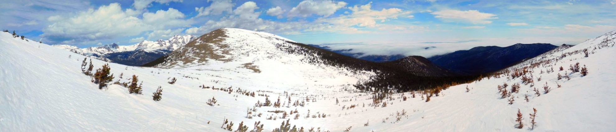
Endless mountain peaks in every direction
Endless mountain peaks in every direction
Summit view looking east with I-70 below
Summit view looking east with I-70 below
Mt. Parnassus (13,574′) and Bard Peak (13,641′) from the summit of Mt. Sniktau
Mt. Parnassus (13,574′) and Bard Peak (13,641′) from the summit of Mt. Sniktau
Torreys Peak 14,267′ from Mt Sniktau’s ridgeline
Torreys Peak 14,267′ from Mt Sniktau’s ridgeline
Mt Sniktau with two people on the summit
Mt Sniktau with two people on the summit
View of Quandary Peak 14,265′ in the distance (left of center)
View of Quandary Peak 14,265′ in the distance (left of center)
Looking back after gaining 1,000′ to the ridge
Looking back after gaining 1,000′ to the ridge
HWY 6 winding it’s way to Loveland Pass
HWY 6 winding it’s way to Loveland Pass
Heading to the ridge and then left
Heading to the ridge and then left
First objective is to get up to the ridgeline
First objective is to get up to the ridgeline
Looking back at the trailhead
Looking back at the trailhead
GPS Route with Elevation
Video Tour
Trail Directions
From the parking lot, head east towards Mt Sniktau. You’ll first climb to the saddle at point 12,915, a mile ahead of you. After gaining the ridge, take a left (north) to continue up the southwest ridge. Head towards another bump which is a false summit at 13,152 feet.
Hike through a short rocky section to reach the final false summit. You can now see the remaining route to reach the true peak’s summit. Keep hiking and drop about 250 feet into the saddle before you ascend for another quarter mile to reach the summit.
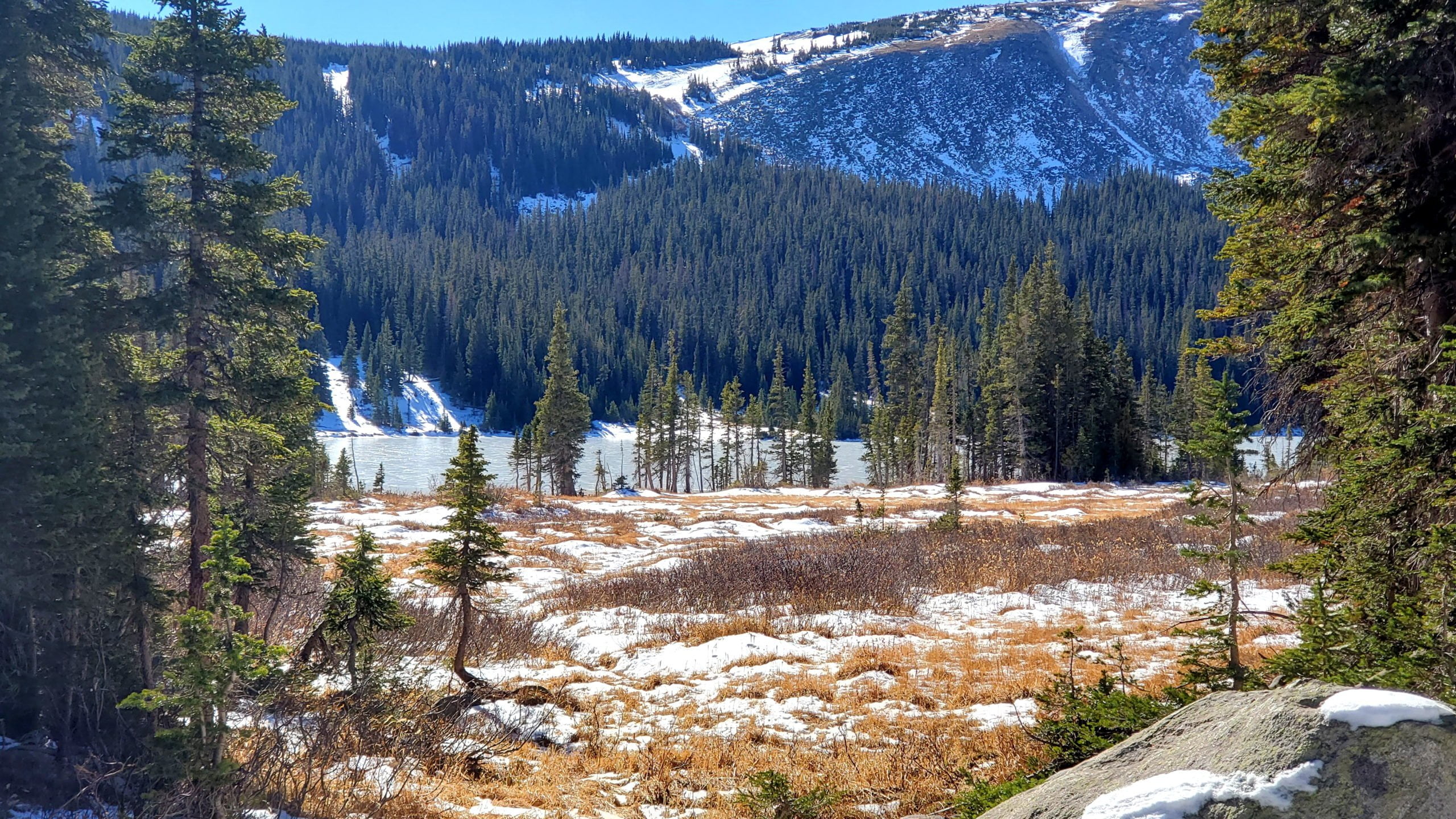
Lake Isabelle lies hidden in a high, isolated bowl-shaped basin at the top of the South St. Vrain drainage in the Brainard Lake Recreation Area. It lies at tree-line in a stunning alpine valley surrounded by Navajo (13,409′), Apache (13,441′) and Shoshoni (12,967′) peaks. The Continental Divide is located just west of the lake, running along the high peaks above the valley.
Mitchell & Blue Lake and Mt Audubon, are also located in the Brainard Lake Recreation Area and also offer beautiful views of the Indian Peaks Wilderness.
Trail Stats
Lake Isabelle
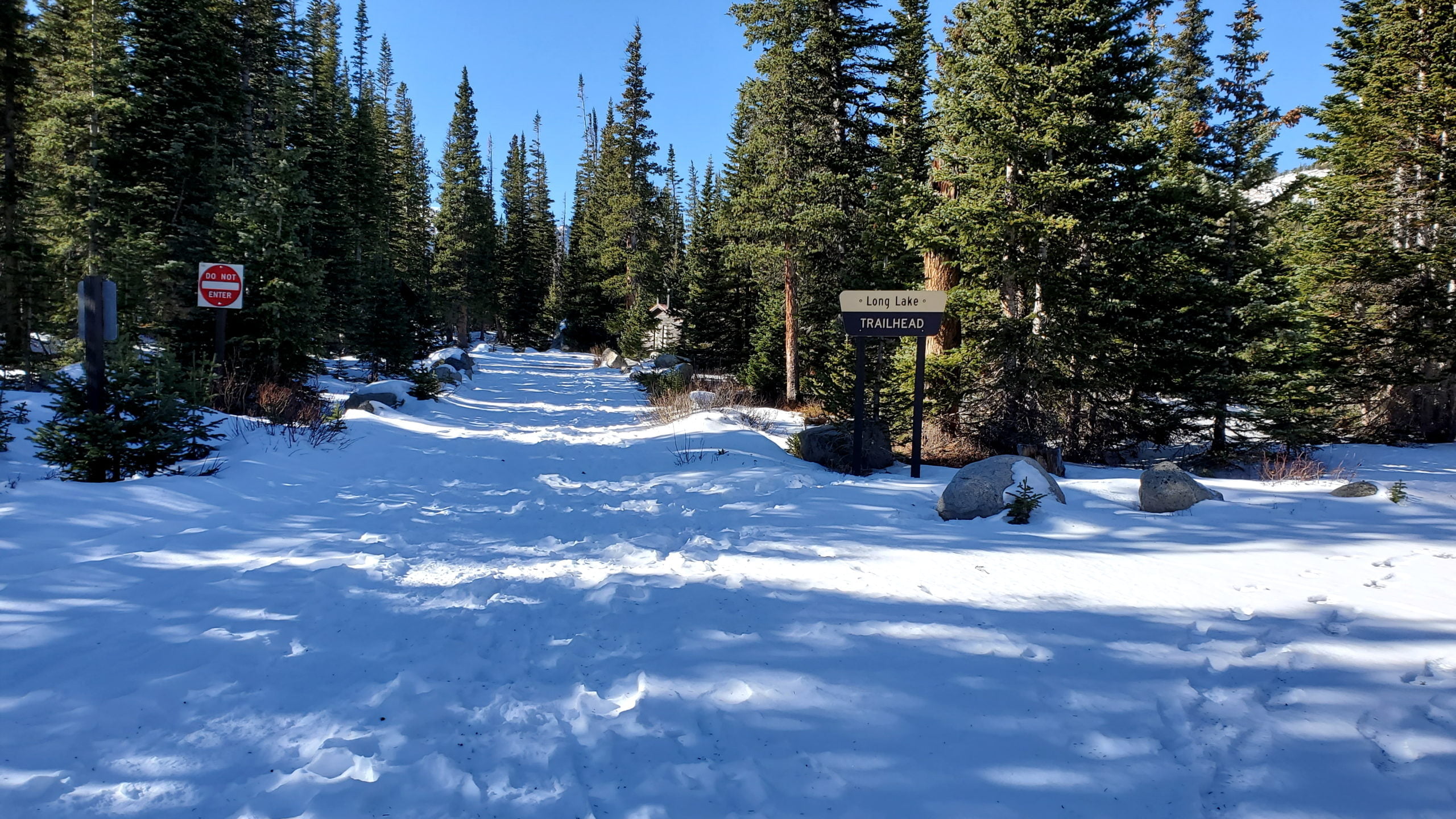
Trailhead: Long Lake
Round trip: 4.4 miles/7.1 km summer, 11 miles/17.1 km winter
The upper portion of the South St. Vrain Creek valley
The upper portion of the South St. Vrain Creek valley
Above Lake Isabelle
Above Lake Isabelle
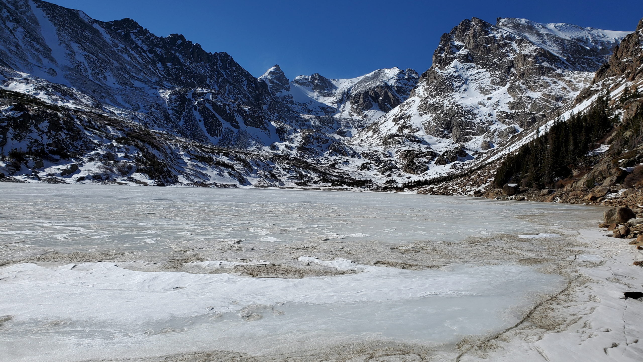
The incredible scenery of Lake Isabelle
The incredible scenery of Lake Isabelle
Panorama of Lake Isabelle
Panorama of Lake Isabelle
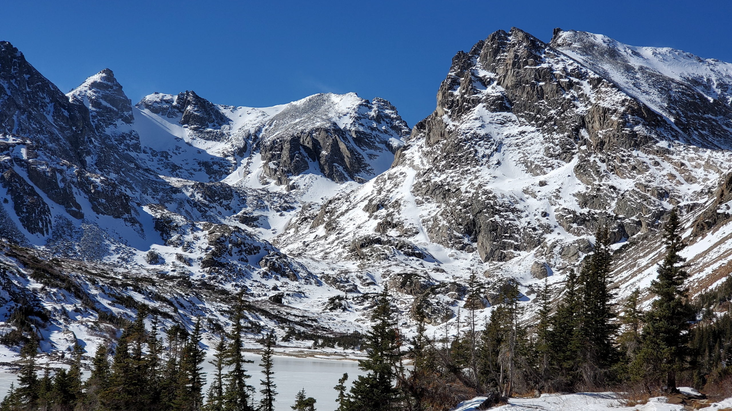
Niwot Ridge, 13,409-foot Navajo Peak, Navajo Glacier, 13,441-foot Apache Peak and 12,967-foot Shoshoni Peak, looking from left to right
Niwot Ridge, 13,409-foot Navajo Peak, Navajo Glacier, 13,441-foot Apache Peak and 12,967-foot Shoshoni Peak, looking from left to right
The Continental Divide lies along the jagged peaks
The Continental Divide lies along the jagged peaks
View along the northern shore
View along the northern shore
View from the waters edge
View from the waters edge
One last look at Lake Isabelle
One last look at Lake Isabelle
Winter in full display in early November
Winter in full display in early November
Heading back to the Long Lake trailhead
Heading back to the Long Lake trailhead
GPS Route with Elevation
Video Tour
Trail Directions
From the Long Lake Trailhead, the trail begins its relatively gentle ascent up to Long Lake. After a quarter-mile of trekking, the trail intersects the Jean Lunning Trail, which will take you to and around Long Lake. This area is known for moose sightings. Avoid the Jean Lunning Trail and continue to the right uphill to Lake Isabelle.
After approximately 1 more mile, the trail intersects the Jean Lunning Trail for the second time. Again, continue towards Lake Isabelle and Pawnee Pass, bypassing the Jean Lunning Trail. Lake Isabelle is just another .9 miles beyond this trail junction. From the lake you have the option of continuing further up the trail to reach Isabelle Glacier.
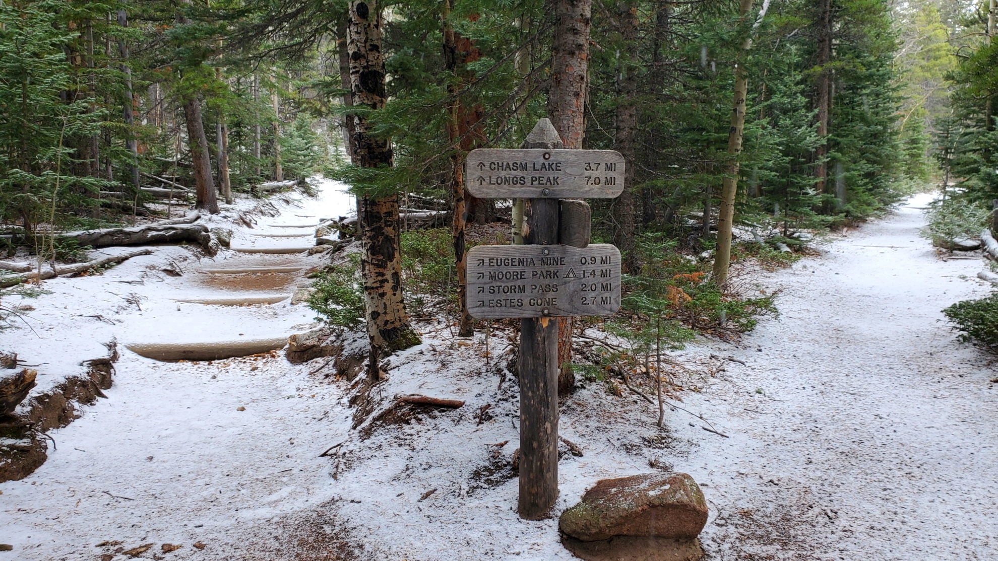
Estes Cone is located about 3 miles from the Longs Peak trailhead on the east side ofRocky Mountain National Park. The peak serves as a prominent landmark in the Tahosa Valley to the east. The peak is named for one of the first settlers in Estes Valley, Joel Estes. The granite peak has a rocky outcrop on the summit that provides unobstructed views of Rocky Mountain National Park.
On the way to Estes Cone you will pass by the old Eugene Mine area, of which there is almost no trace left. Moving on you end up at Storm Pass, after which the steepest part of the hike begins. Just before reaching the summit you will hit a cliff band. Head to the right and there will be a weakness in the wall that you can scramble up to the summit.
Summit view looking west with Longs Peak covered in clouds all day
Summit view looking west with Longs Peak covered in clouds all day
View east from the summit with Lake Estes below
View east from the summit with Lake Estes below
Northwest view from the summit
Northwest view from the summit
The route up to the summit – a steep scramble
The route up to the summit – a steep scramble
View west on the final climb to the summit
View west on the final climb to the summit
View north from the summit
View north from the summit
Looking northwest just below the summit
Looking northwest just below the summit
Mt Meeker (left) and Longs Peak (right)
Mt Meeker (left) and Longs Peak (right)
Meadow near Moore Park
Meadow near Moore Park
Ruins near the old Eugene Mine
Ruins near the old Eugene Mine
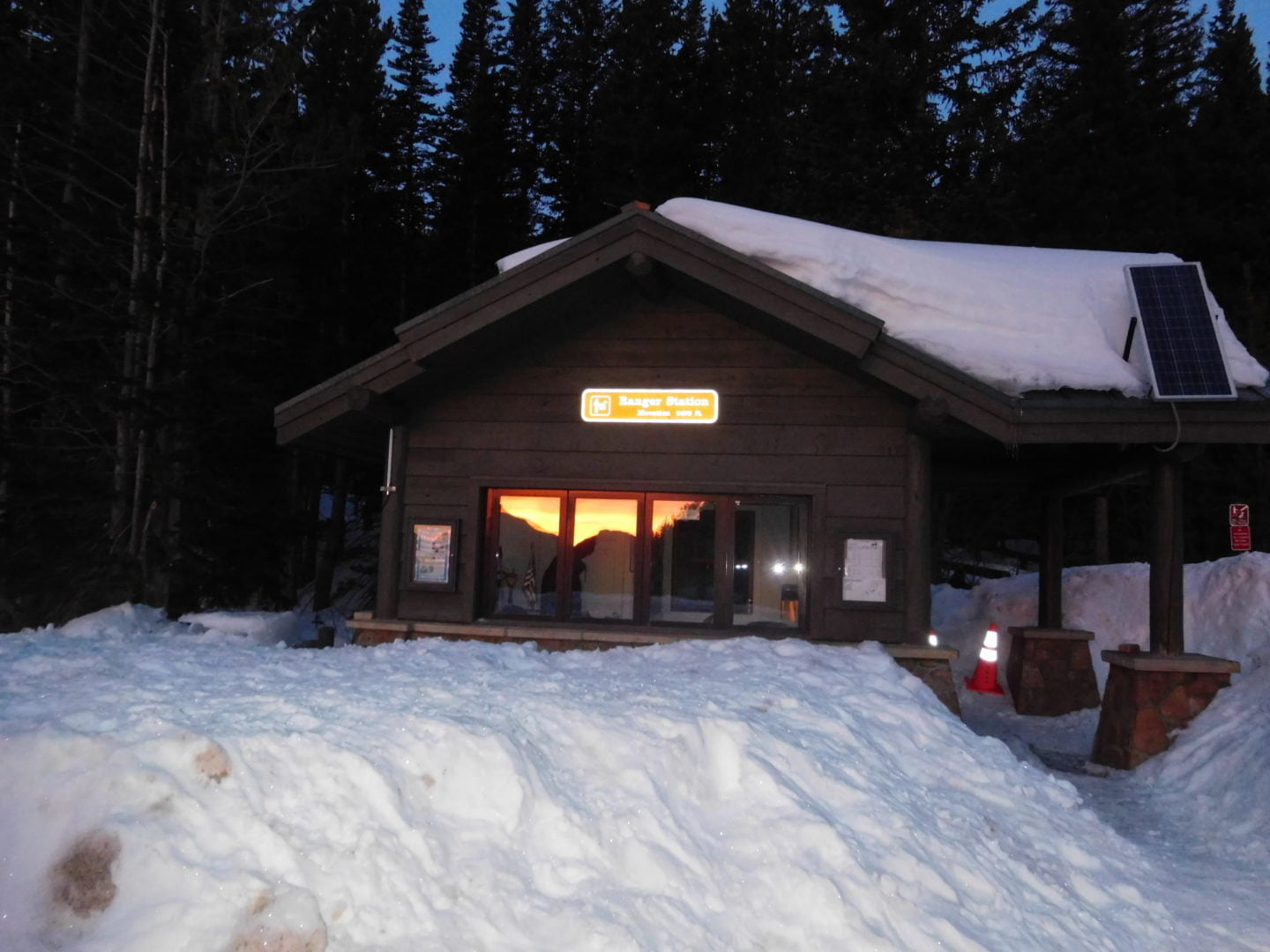
Ranger station at the foot of the Longs Peak trail
Ranger station at the foot of the Longs Peak trail
Estes Cone from Hwy 7
Estes Cone from Hwy 7
Trail Pictures – May 2015 – stopped 1/4 mile from the summit due to a rare snowstorm with lightning and thunder.
Estes Cone from the Longs Peak trailhead
Estes Cone from the Longs Peak trailhead
Serious lightening hazard so turned around about 100ft from the top
Serious lightening hazard so turned around about 100ft from the top
heavy thunderstorm with snow
heavy thunderstorm with snow
Storm moving in
Storm moving in
Following cairns
Following cairns
Close to the Estes Cone turnoff
Close to the Estes Cone turnoff
Looking towards Longs Peak
Looking towards Longs Peak
Weather rolling in
Weather rolling in
The only break from the dense forest
The only break from the dense forest
A rare glimpse of sunshine
A rare glimpse of sunshine
Snow deepened at the turnoff for Eugene Mine
Snow deepened at the turnoff for Eugene Mine
Fairly clear near the trailhead
Fairly clear near the trailhead
Longs Peak trailhead ranger station
Longs Peak trailhead ranger station
Estes Cone in the distance
Estes Cone in the distance
GPS Route with Elevation
Video Tour
Trail Directions
The approach to Estes Cone from the Longs Peak trailhead is relatively easy with mild uphills until you reach the base of the mountain. Once you turn off the Storm Pass trail you will see cairns marking the turnoff to begin the steeper 800′ scramble to the top. Once you reach the base of the summit, head right of the rock wall to scramble to the summit.
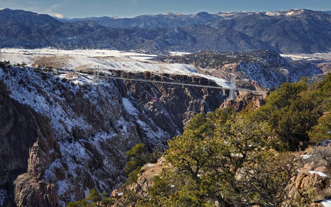
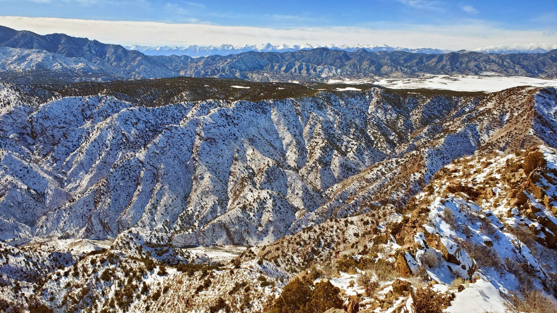
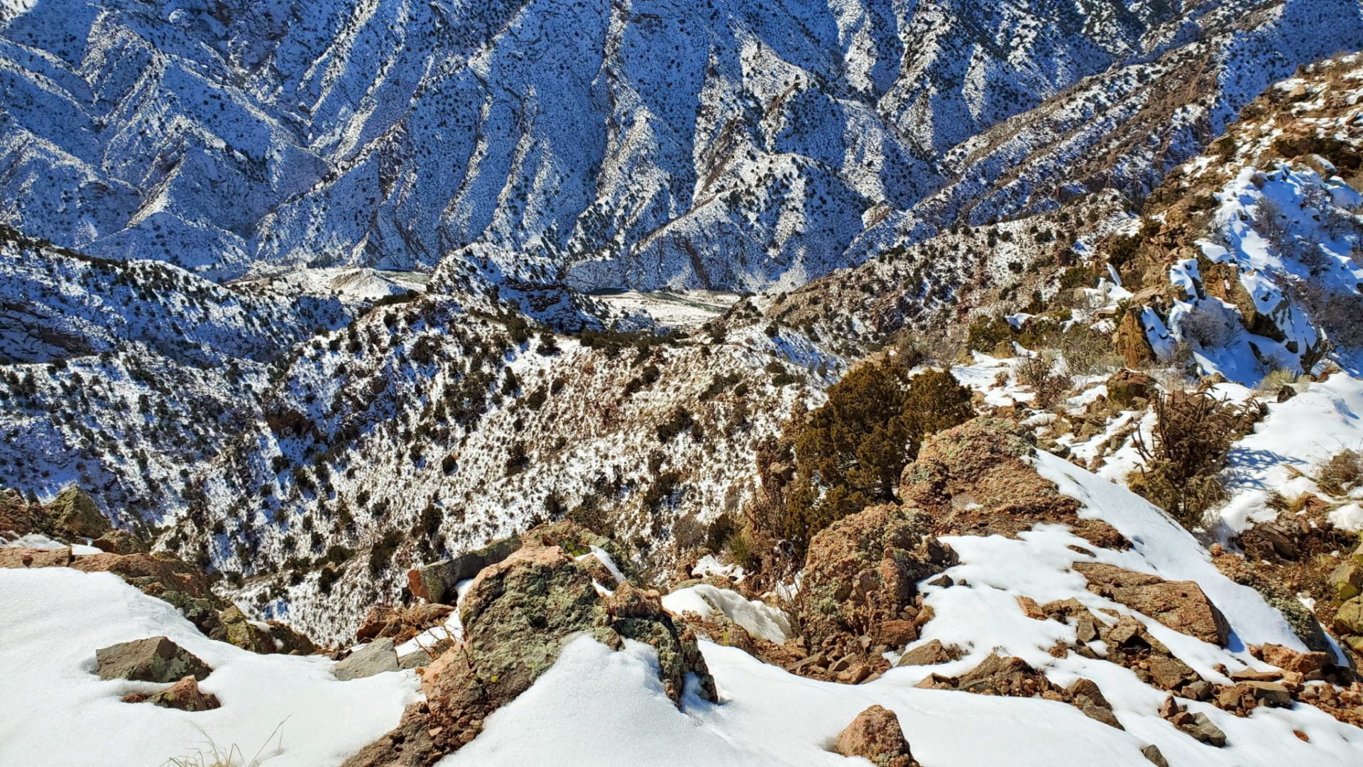
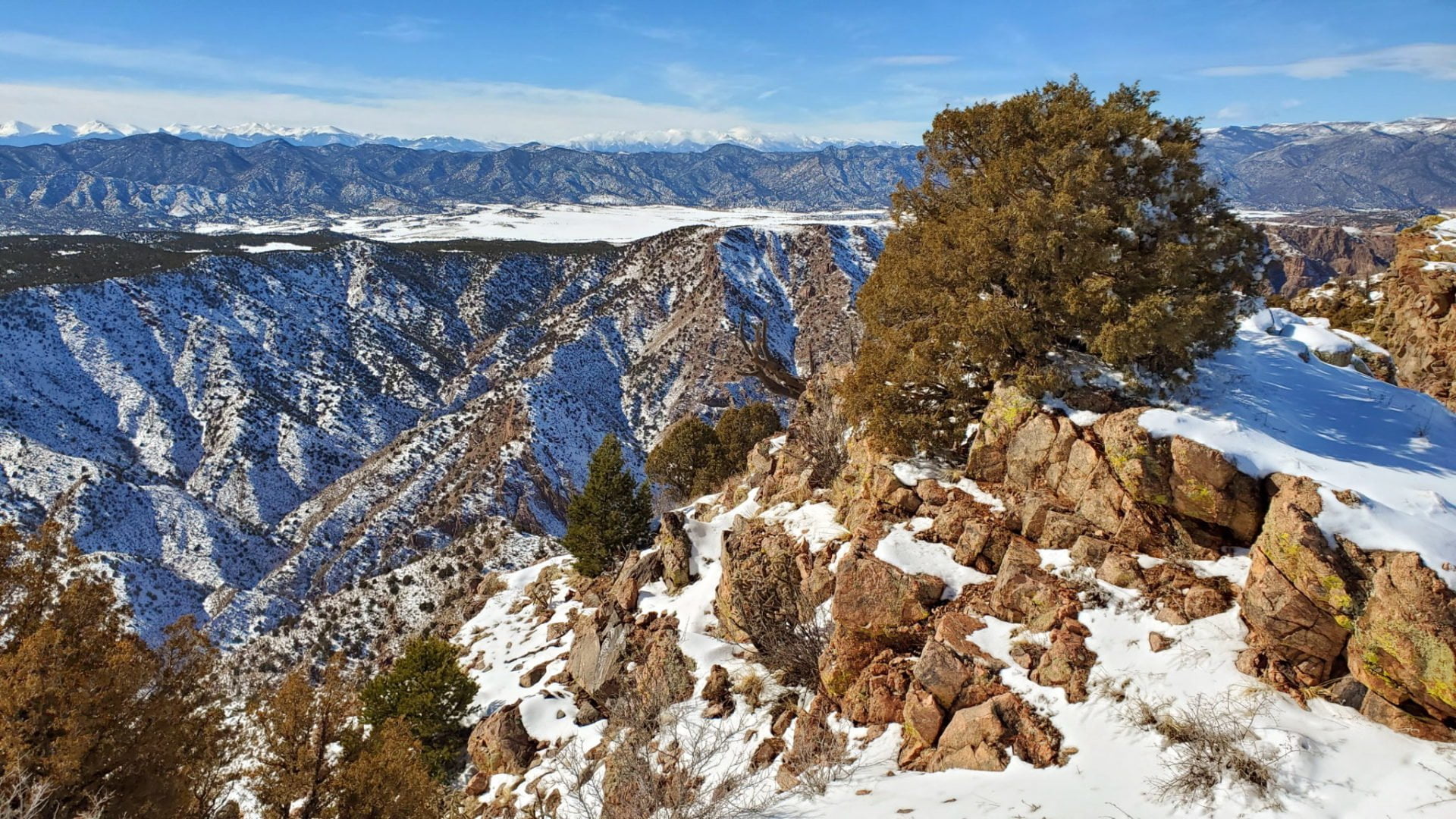
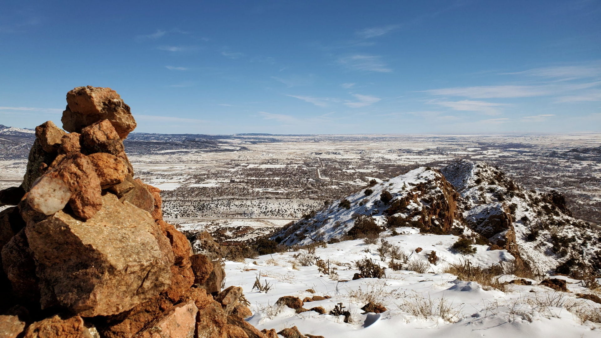
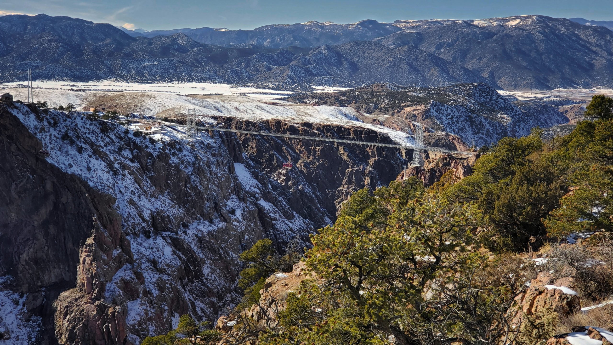
Fremont Peak is the high point along a narrow ridge of hills rising near the eastern edge of the Royal Gorge’s north rim. The desert peak is part of a very small sub-range of mountains called the Gorge Hills. These peaks are relatively low and are covered in desert flora. Great views of the Royal Gorge, the Sangre de Cristo mountain range, and Pikes Peak can be seen along the trail and summit.
Don’t miss the Elkhorn Loop Picnic Area and Overlook to get a closer look of the bridge and theRoyal Gorge, only a couple minutes drive from the EastRidge Trailhead. Great views just steps from your car, check out the last two pictures.
Summers in this area can be dangerously hot, plan accordingly.
Trail Stats
Fremont Peak
Trailhead: EastRidge Trailhead, Royal Gorge Mountain Park
The Crags Trail #664 follows Four Mile Creek through deep forests and lush meadows, ending at a rocky dome with unobstructed views in all directions. At the summit of the windswept dome there are views of the Rampart Range, Pikes Peak Mastif, Catamount Reservoirs, and distant mountain ranges to the west and north.
The majority of the Crags trail has a gentle elevation gain, with the first and last half-mile gaining the most elevation.
Another hike along the the flanks of Pikes Peak with very unique geological features is Pancake Rocks.
Bristle cone pine trees at least hundreds of years old
Bristle cone pine trees at least hundreds of years old
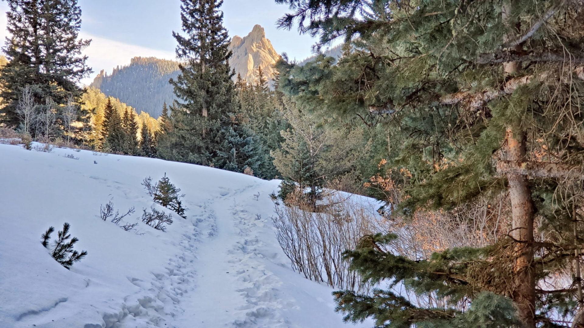
The Crags from the trail
The Crags from the trail
The final section before the rocky summit
The final section before the rocky summit
Following Fourmile Creek east
Following Fourmile Creek east
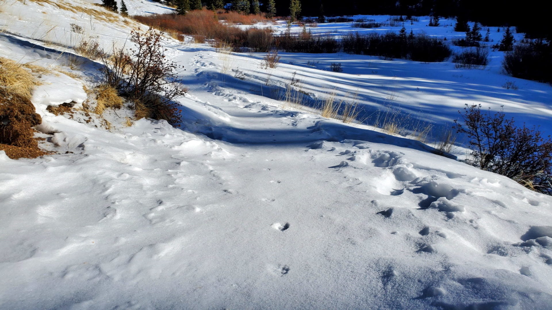
Footprints, maybe a fox?
Footprints, maybe a fox?
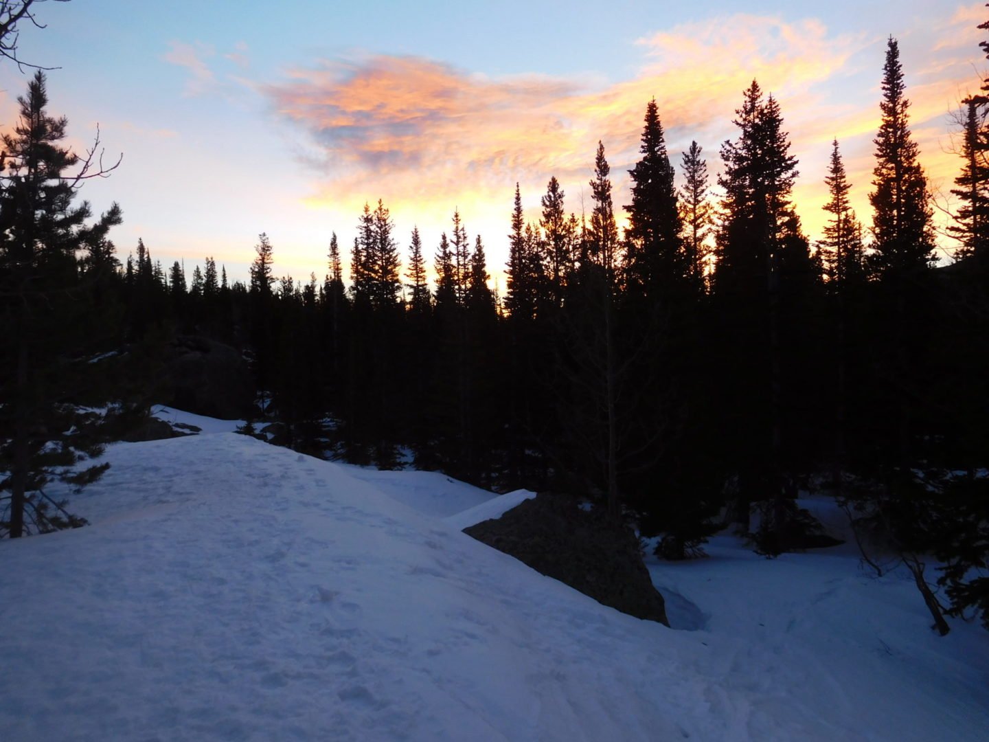
Sunrise along the trail
Sunrise along the trail
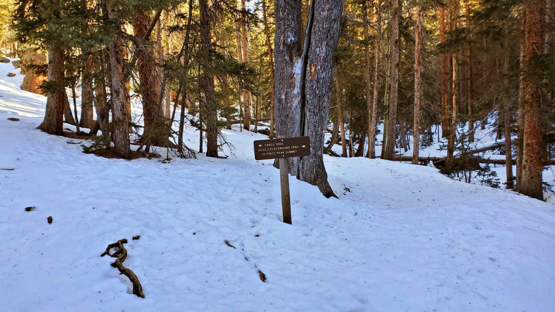
The Crags trail forks to the left
The Crags trail forks to the left
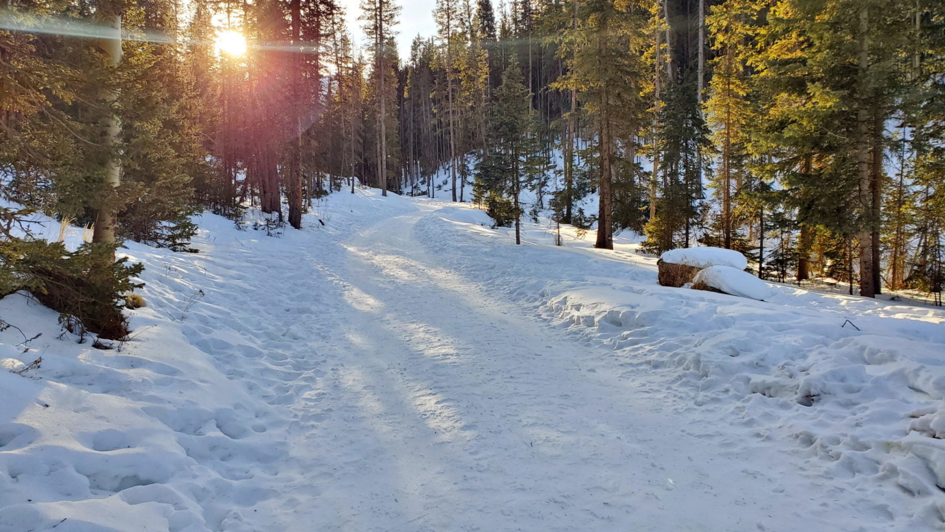
The Crags trail starts in dense forest crossing Fourmile Creek
The Crags trail starts in dense forest crossing Fourmile Creek
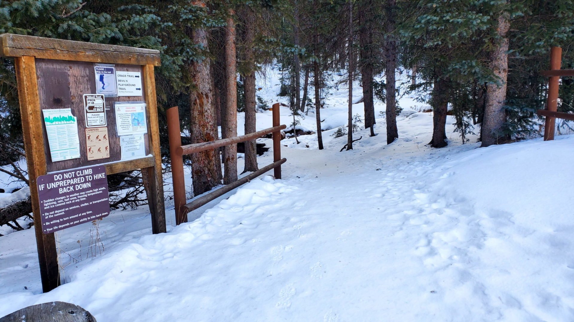
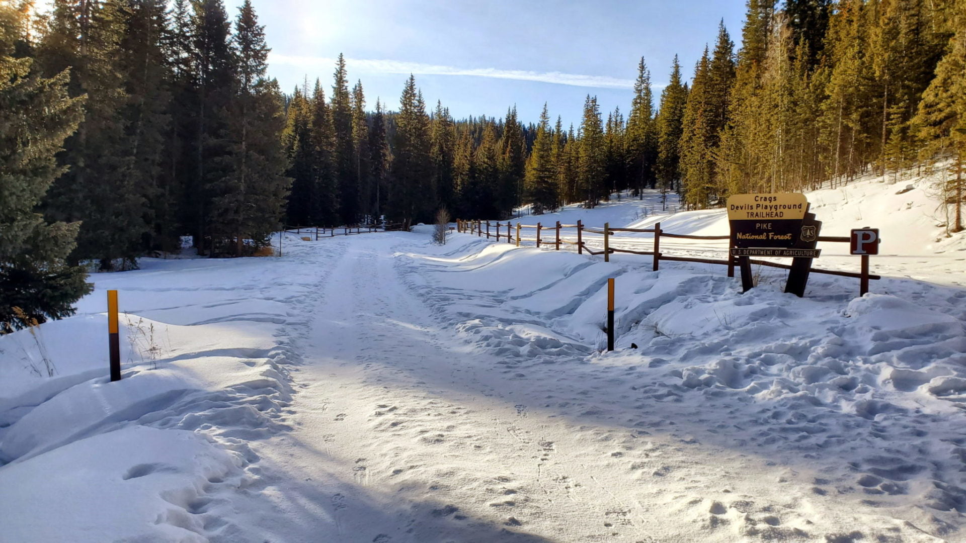
The Crags trailhead
The Crags trailhead
Sunrise along County Road 62
Sunrise along County Road 62
Winter road closure 1.1 miles from the trailhead
Winter road closure 1.1 miles from the trailhead
GPS Route with Elevation
Video Tour
Trail Directions
Take the clear and well-used path over a bridge and through the forest.
After climbing for 1/2 mile you will see the trail junction with the Devil’s Playground #664A, stay to the left on 664 to The Crags.
Continue following Fourmile Creek northeast through a valley. The trail will be wooded at first, but will eventually open up into a meadow with views of rocky cliffs and the rough western flank of Pikes Peak.
During the last 1/2 mile the trail re-enters the forest and gains elevation as it turns north along a small ridge.
The trail ends on the top of a rocky outcropping with excellent views all around.
There is no signage and you must follow a social trail to get to the lake, but despite it’s obscurity, Lake Helene is a spectacular destination inside Rocky Mountain National Park. The lake is situated at treeline, between Flattop Mountain (12,324′) and Notchtop Mountain (12,129′).
Even lesser known Two Rivers Lake is a short walk from Lake Helene, and also worth the visit while in the alpine valley.
Early morning view of Bierstadt Lake from the trail
Early morning view of Bierstadt Lake from the trail
Heading to the Flattop Trail junction above Bear Lake
Heading to the Flattop Trail junction above Bear Lake
Alternating forests and clearings along the Odessa Lake trail
Alternating forests and clearings along the Odessa Lake trail
Notchtop Mountain comes into view
Notchtop Mountain comes into view
Two Rivers Lake and Notchtop Mountain (12,129′)
Two Rivers Lake and Notchtop Mountain (12,129′)
Bear Lake in the early afternoon
Bear Lake in the early afternoon
Bear Lake and Hallett Peak
Bear Lake and Hallett Peak
Incredible views of the Longs Peak area of the park
Incredible views of the Longs Peak area of the park
View of Longs Peak along the trail
View of Longs Peak along the trail
Odessa Lake trail through dense conifer trees
Odessa Lake trail through dense conifer trees
Notchtop Mountain and Lake Helene
Notchtop Mountain and Lake Helene
Notchtop Mountain towers over the valley
Notchtop Mountain towers over the valley
Odessa Lake 640′ below
Odessa Lake 640′ below
The lake beginning to thaw
The lake beginning to thaw
Two Rivers Lake looking east
Two Rivers Lake looking east
Little Matterhorn
Little Matterhorn
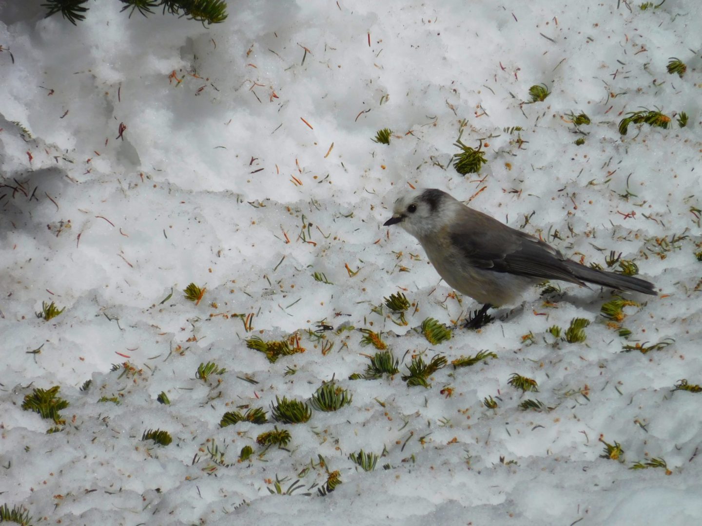
A curious Gray Jay
A curious Gray Jay
View of Flattop Mountain
View of Flattop Mountain
Notchtop Mountain summit
Notchtop Mountain summit
GPS Route with Elevation
Video Tour
Trail Directions
Follow the Bear Lake trail for less than 1/2 mile to the Odessa Lake Trail Junction and take the trail to the right. The trail climbs above Bear Lake to the Flattop Mountain trail junction. Continue towards Odessa Lake, climbing through forests and meadows. After approximately 3.5 miles from the trailhead you will see social trails on your left for Lake Helene. The lake is partially concealed from the trail and spurs are fairly easy to miss. If you make a sharp hairpin turn north (right) and begin descending, you’ve passed it.
Two Rivers Lake is near treeline just downstream of Lake Helene. A thick forest and boulder field stand between the main trail and lake, making it easier to walk east from Lake Helene through the forest and meadows.
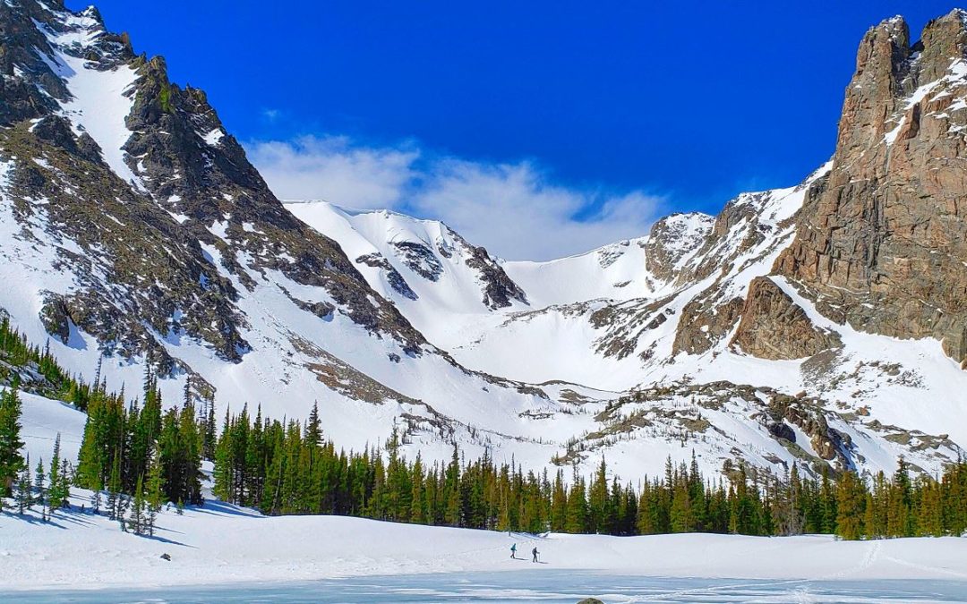
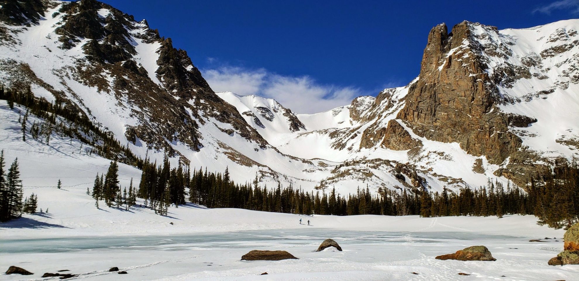
Mills Lake (9,965′) & Jewel Lake (9,990′), Front Range
Located within Glacier Gorge in Rocky Mountain National Park, Mills and Jewel Lake provide dramatic views of the surrounding peaks. The Longs peak area is prominently visible from the valley. The summer route initially takes you to Alberta Falls, another popular destination in the park.
Mills Lake is named in honor of Enos Mills (1870-1914), who is considered the father of Rocky Mountain National Park. Inspired and enouraged by John Muir, Enos Mills campaigned to see these mountains in Colorado protected as a national park, a fight he won in 1915.
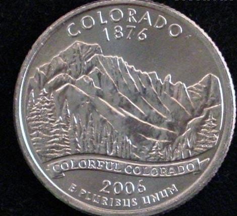
The view from Mills Lake towards Longs Peakis the image used on one side of the 2006 Colorado State Quarter.
Longs Peak 14,259′, right, with the Keyboard of the Winds
Longs Peak 14,259′, right, with the Keyboard of the Winds
Heading back north across Mills lake
Heading back north across Mills lake
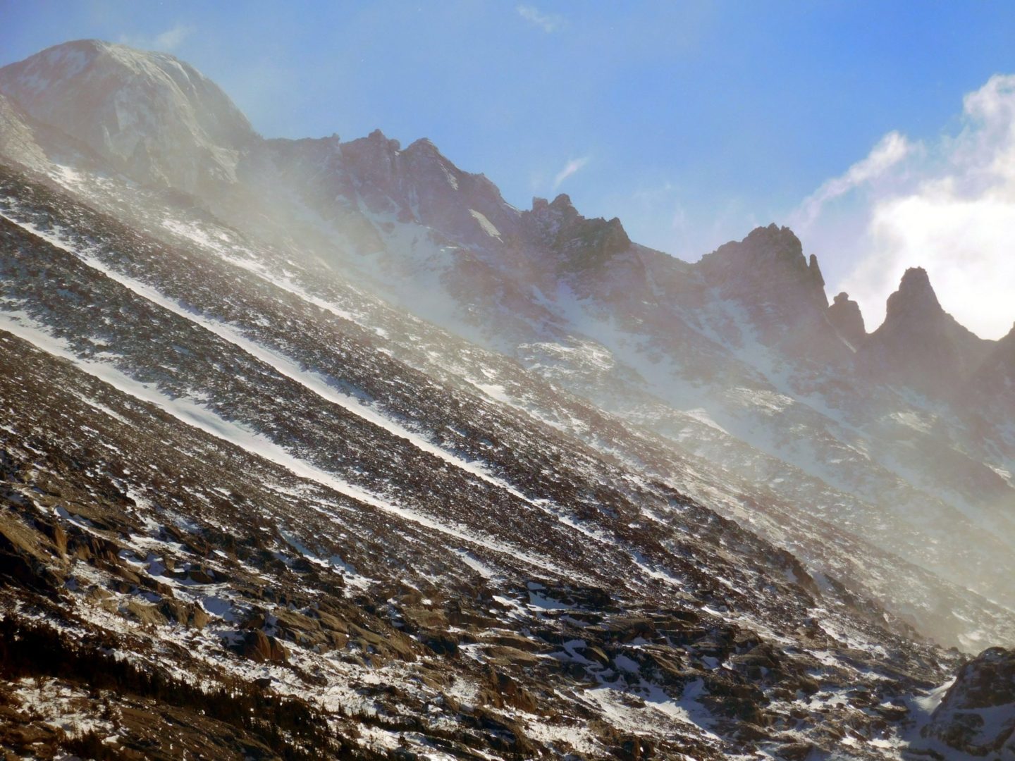
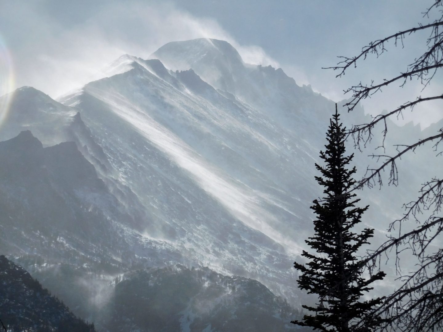
View of Keyboard of the Winds and Storm Peak in the blowing snow
View of Keyboard of the Winds and Storm Peak in the blowing snow
Mills Lake with a small cloud over Longs Peak (left)
Mills Lake with a small cloud over Longs Peak (left)
Cove on Mills Lake eastern shore
Cove on Mills Lake eastern shore
Rising above Mills Lake from left to right – Longs Peak, Keyboard of the Winds, Storm Peak, Spearhead, and Chiefs Head Peak.
Rising above Mills Lake from left to right – Longs Peak, Keyboard of the Winds, Storm Peak, Spearhead, and Chiefs Head Peak.
Mills Lake eastern shore
Mills Lake eastern shore
Mills Lake with Storm Peak (left) and Spearhead (right) rising above the blowing snow
Mills Lake with Storm Peak (left) and Spearhead (right) rising above the blowing snow
Mills Lake frozen solid
Mills Lake frozen solid
Looking North across Mills Lake
Looking North across Mills Lake
Looking North from Jewel Lake’s southern shore
Looking North from Jewel Lake’s southern shore
Jewel Lake just ahead
Jewel Lake just ahead
The southern shore of Mills Lake
The southern shore of Mills Lake
View west from Mills Lake
View west from Mills Lake
Eastern side of Glacier Gorge
Eastern side of Glacier Gorge
Glacier Gorge, Rocky Mountain National Park
Glacier Gorge, Rocky Mountain National Park
Mills Lake eastern shore
Mills Lake eastern shore
Mills Lake, Glacier Gorge
Mills Lake, Glacier Gorge
First glimpse into Glacier Gorge
First glimpse into Glacier Gorge
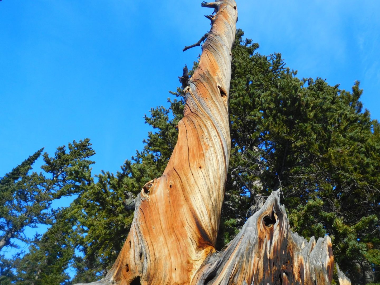
Bristle-cone pine trees
Bristle-cone pine trees
Just above Mills Lake looking into Glacier Gorge
Just above Mills Lake looking into Glacier Gorge
Looking across Glacier Knob
Looking across Glacier Knob
Otis Peak 12,486′
Otis Peak 12,486′
Chaos Creek
Chaos Creek
Colorado Quarter
Colorado Quarter
Glacier Gorge trailhead
Glacier Gorge trailhead
Mills Lake, Rocky Mountain National Park
Mills Lake, Rocky Mountain National Park
GPS Route with Elevation
Video Tour
Trail Directions
From Glacier Junction, head south for less than a mile, where you’ll come across Alberta Falls. At 1.6 miles you will arrive at the North Longs Peak Trail junction. To continue on towards your destination turn right here. It’s another 2 miles to Mills Lake from here. Once at the lake it’s another .4 miles to Jewel Lake, most of the distance is walking along the shore of Mills Lake.
The St Vrain Mountain trail is located just outside the border of the Indian Peaks Wilderness Area to the south, and Rocky Mountain National Park to the north. The trail climbs steeply heading west, just east of the Continental Divide, with views across the Middle St Vrain Creek drainage and the Wild Basin Area of Rocky Mountain National Park.
Meadow Mountain with Rocky Mountain National Park in the background
Meadow Mountain with Rocky Mountain National Park in the background
Colorado’s oceans
Colorado’s oceans
The route ahead
The route ahead
Looking back down the trail
Looking back down the trail
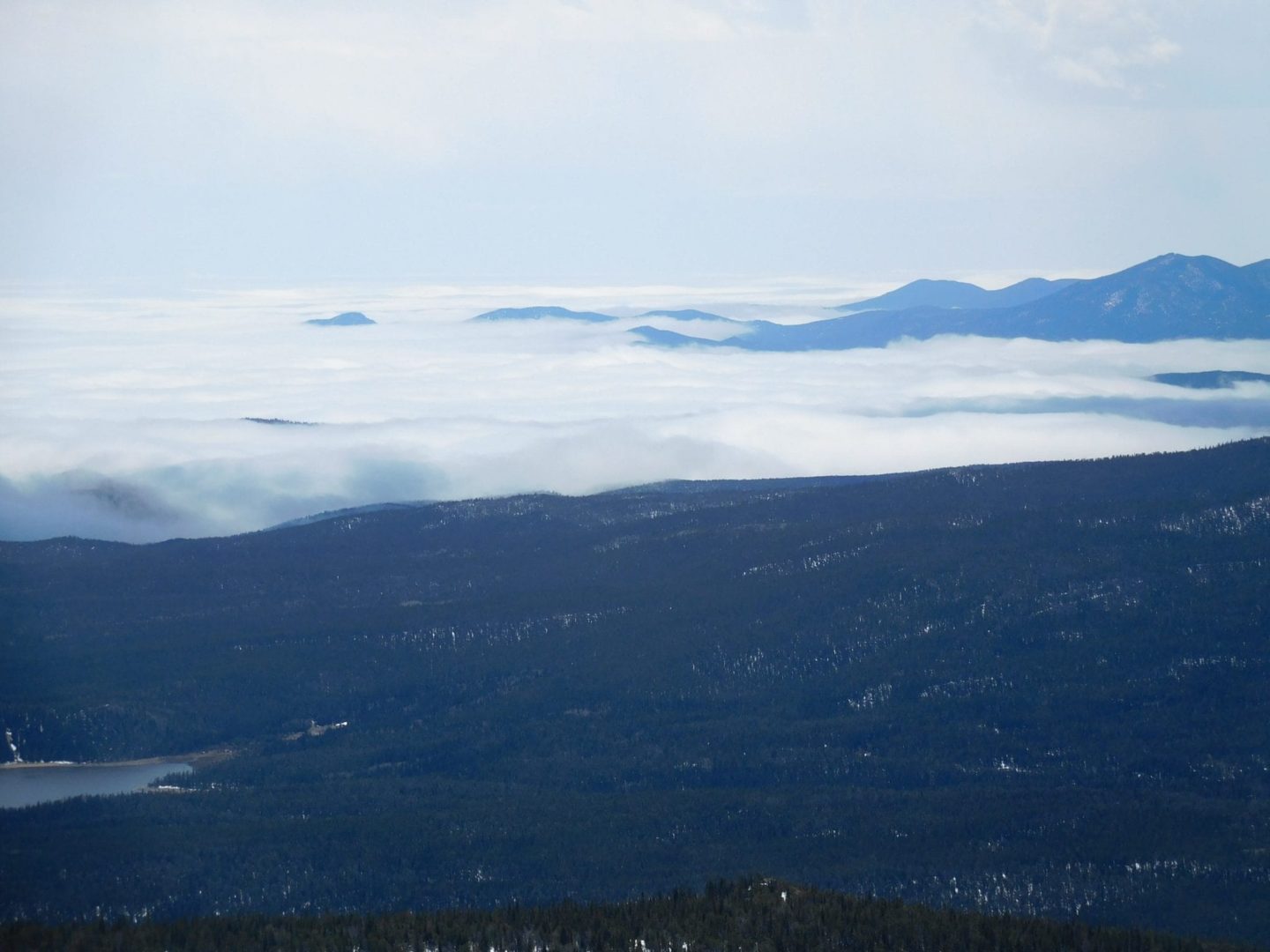
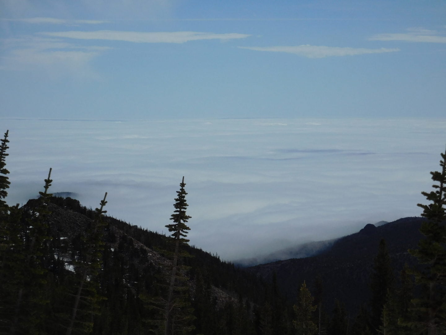
Ocean of clouds below
Ocean of clouds below
Broke free of the cloud cover below
Broke free of the cloud cover below
Ptarmigan in summer colors
Ptarmigan in summer colors
Following a small creek
Following a small creek
Beaver activity
Beaver activity
unnamed peak view
unnamed peak view
Panorama with Meadow Mountain center
Panorama with Meadow Mountain center
GPS Route with Elevation
Video Tour
Trail Directions
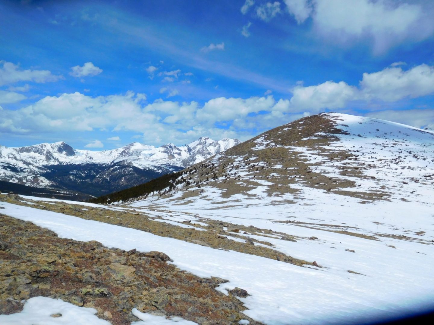
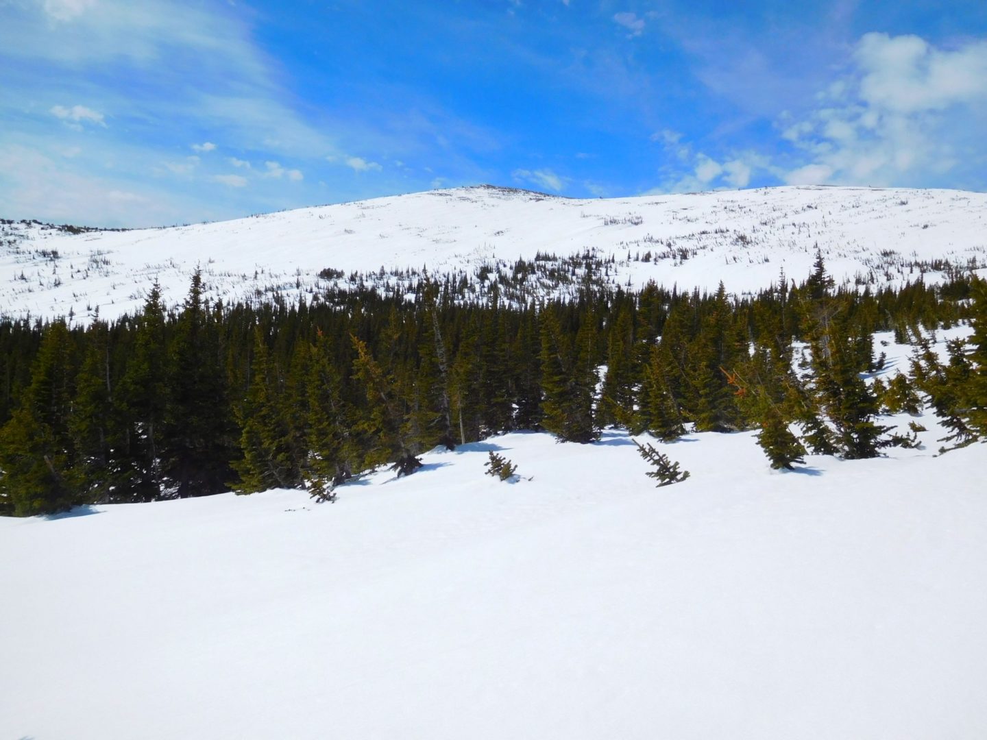
The trail climbs up the valley’s north side to the Indian Peaks Wilderness Boundary. The trail then switchbacks hard left (west) one final time) before turning sharply south across the valley. Grades briefly moderate and then steepen back up the south valley wall, turning sharply south one last time before clearing treeline (2.65 miles : 10,765′).
Travel eases along a broad tundra saddle between the shoulders of Meadow Mountain (11,632′), an unnamed peak, and St Vrain Mountain. It reaches the Rocky Mountain National Park Boundary (3.15 miles : 11,180′) and levels for nearly half a mile on a south heading with some of the route’s best views. This section overlooks Rocky Mountain’s Wild Basin Area, Mount Copeland (13,176′), Ouzel Peak (12, 12,716′), Mahana Peak (12,632′), Longs Peak (14,259′) and Mt Meeker (13,911′).
Those not aiming for the summit will be content with views along this stretch. The trail exits Rocky Mountain National Park (3.6 miles : 11,335′) and threads a few pockets of krummholz to an unmarked turnoff for St Vrain Mountain. Leave the main trail (3.65 miles : 11,360′) and aim for a band of krummholz approximately 200 yards away. Once through look for cairns and, most importantly, Indian Peaks – Rocky Mountain National Park Boundary posts to your right (north).
St Vrain Mountain (4.45 miles : 12,162′) is rounded with 2 wind shelters and incredible views. Continuing takes you along its west ridge to the Elk Tooth formation and base of Ogallala Peak (13,138′) on the Divide.
Flattop Mountain is located just east of the Continental Divide in Rocky Mountain National Park. The trail was built in 1925, and rehabilitated in 1940 with Civilian Conservation Corps labor. Today it is listed on the National Register of Historic Places.
The scenic trail has overlooks for Dream and Emerald Lake, and unmatched views of the Longs Peak area to the south. The trail is also used to to reach the summit ofHallett Peak.
Longs Peak (left) and Thatchtop Mountain on the right
Longs Peak (left) and Thatchtop Mountain on the right
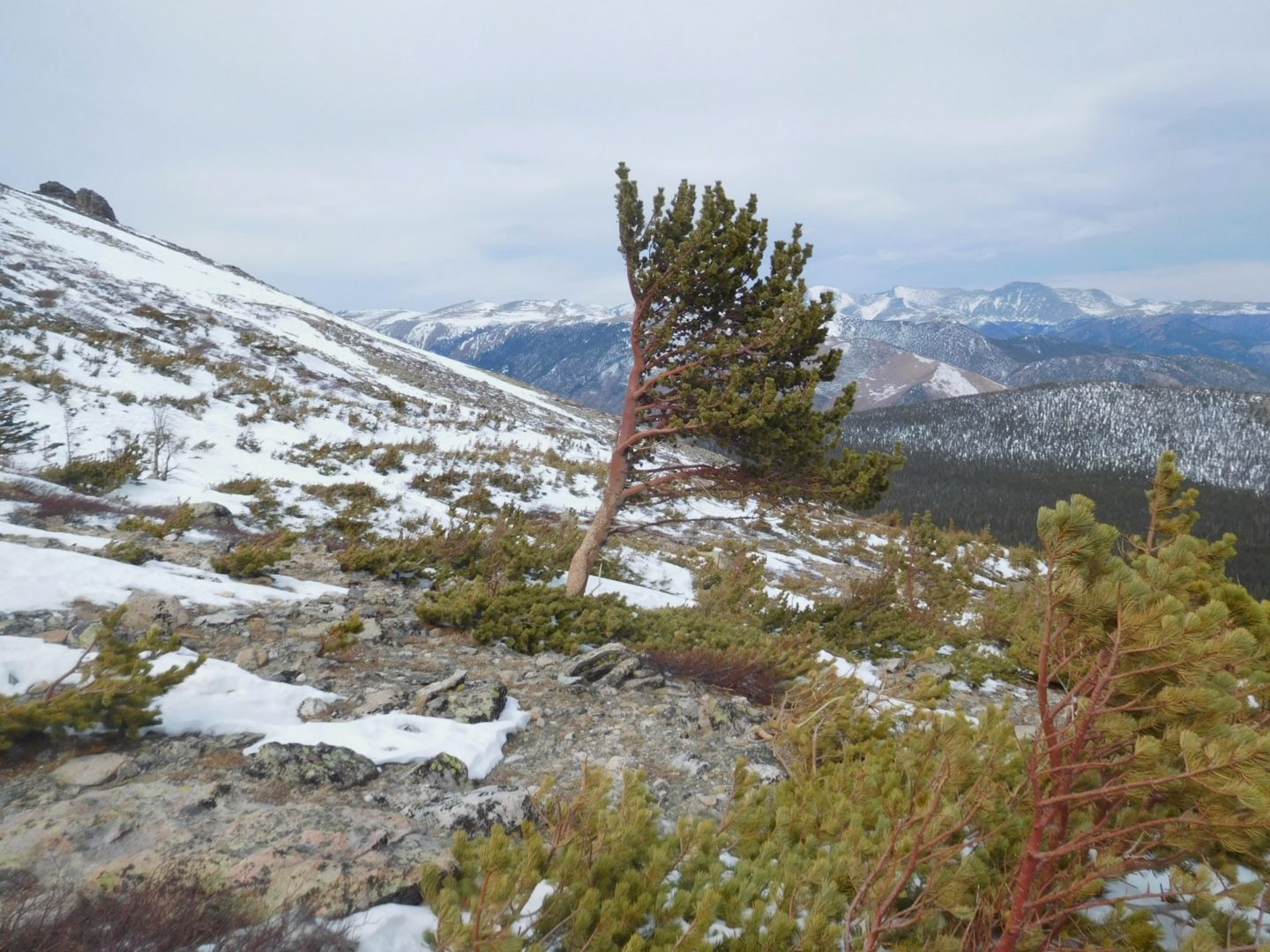
The twist in the trunk provides extra strength from the wind
The twist in the trunk provides extra strength from the wind
Early morning
Early morning
Bear Lake and Hallett Peak
Bear Lake and Hallett Peak
Hallet Peak and Flattop Mountain
Hallet Peak and Flattop Mountain
Flattop Mountain summit – as advertised
Flattop Mountain summit – as advertised
GPS Route with Elevation
Video Tour
Trail Directions
From the trailhead immediately make a right turn onto the Bear Lake Loop Trail. After a short walk along the eastern shore of Bear Lake, make another right turn at the next junction. From here the trail ascends the slopes of the Bierstadt Moraine.
About .5 miles from the trailhead you’ll reach the Bierstadt Lake and Mill Creek Basin junction. Turn left and continue towards Flattop Mountain. The route turns west as it climbs higher and you’ll enjoy spectacular views of Longs Peak, the Keyboard of the Winds, Pagoda Peak and Chiefs Head Peak towards the south. At just over 1 mile from the trailhead you will arrive at the Flattop Mountain Trail junction, which forks off to the left and begins ascending the eastern slopes of the mountain.
Once on the Flattop Mountain trail, the climb becomes steeper for the rest of the route. About 1.5 miles from the trailhead (~10,500 feet) you will reach the Dream Lake Overlook. Once leaving the Dream Lake overlook it’s a short hike to tree-line. Looking towards the east are views of Bierstadt Lake, Sprague Lake and much of the Glacier Basin area.
After about 3 miles from the trailhead you’ll reach the Emerald Lake Overlook. This scenic overlook rises more than 1,200′ above Emerald Lake. Continue on for less than a mile and you will be just below the summit of Flattop Mountain where there is a horse hitch. The slope begins to become more gradual and eventually leveling out. The end of the Flattop Mountain Trail is at the junction with the North Inlet Trail and Tonahutu Creek Trail. Although there are no signs indicating that you’re at the top, this is the unofficial summit of Flattop Mountain.
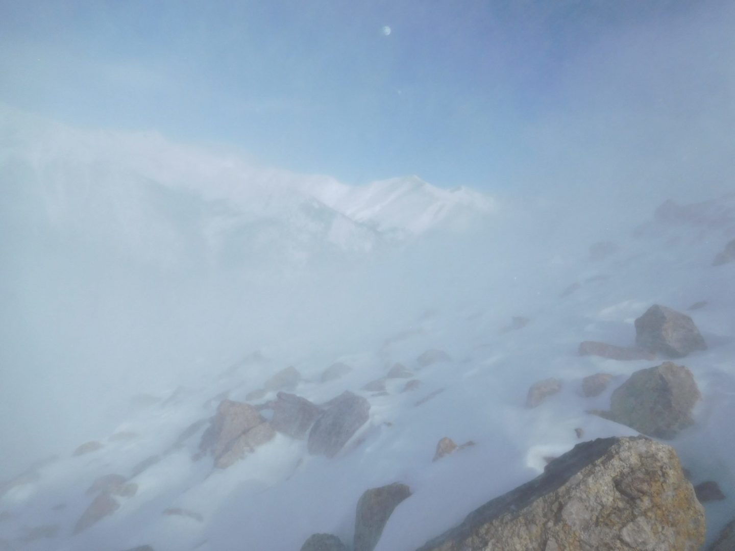
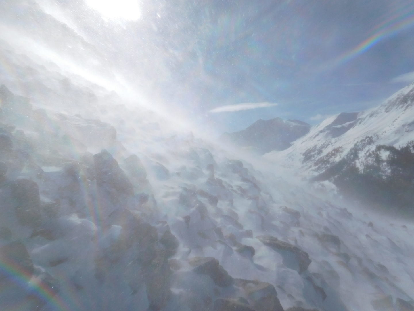
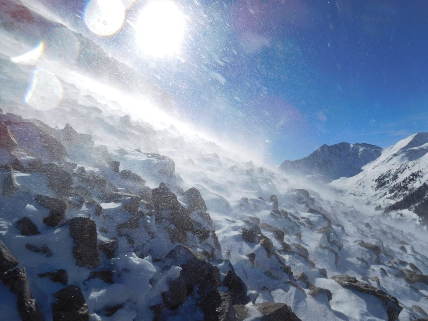
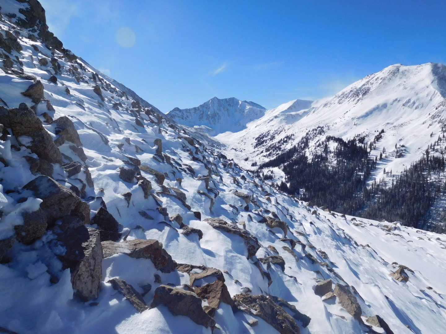
La Plata Peak, in the middle of the Sawatch Range, is known for it’s distinctive Ellingwood Ridge, popular among climbers. The Northwest Ridge trail starts from Highway 82 and follows the northern ridge that divides the La Plata basin from La Plata Gulch. There are several other routes to the summit, such as the Southwest Ridge. “La Plata” is Spanish for “The Silver”, a reference to the many silver deposits in the area.
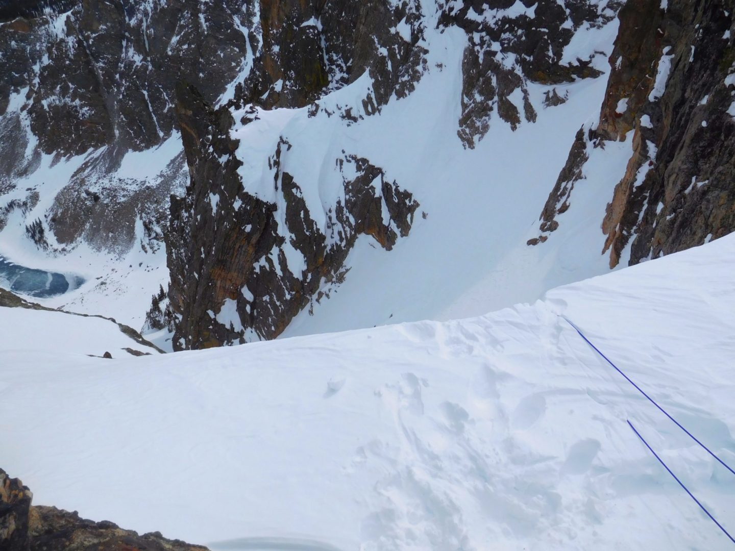
Know when to turn around. Turned around near 12,000′ due to heavy winds and low visibility, despite what initially appeared to be a picture perfect day.
Video Tour
Trail Directions
From the trailhead hike east into the woods crossing South Fork Lake Creek. Turn right after the bridge and hike a small distance to cross La Plata Gulch on a smaller bridge. Head right and reach a small clearing almost 100 yards after the bridge crossing. In the clearing, there is a smaller trail that heads off to the east – stay right on the main trail. Eventually the trail has log and stone steps making a steep climb through the forest.
Climb briefly to a small, level area above 12,000′ where you will find a large square boulder near the trail. Turn left and climb to the northwest ridge. Next hike to the base of a large buttress and follow the trail as it turns right and climbs around to the west side of the ridge. If you lose the trail, turn left and climb directly up to the top of the ridge. As you near the top ,curve around to the west side, turn left and follow the trail to the summit.
Nymph (9,705′), Dream (9,905′), and Emerald Lake (10,110′), Front Range
Nymph, Dream, and Emerald Lake are located inside Rocky Mountain National Park, west of Estes Park. From the popular Bear Lake Trailhead, the trail passes Nymph and Dream Lake on the way to Emerald Lake.
There are prominent views along the way of Longs Peak, Glacier Gorge,Flattop Mountain, andHallett Peak. If you have limited time to explore, this should be on your list for it’s beauty and accessibility, even in winter (additional gear required).
Trail Stats
Emerald Lake
Trailhead: Bear Lake
Round trip: Nymph 1.1 miles, 1.8 km / Dream 2.2 miles, 3.5 km / Emerald 3.5 miles, 5.6 km
From Bear Lake the trail makes a steady climb up to the south side of Nymph Lake, which is usually filled with pond lilies in the summer. Once around the lake, follow the trail for a fairly steep climb for a short section. There are spectacular views of Longs Peak, Pagoda Mountain, Storm Peak, and the Keyboard of the Winds to your left.
At just over a mile you will reach the Lake Haiyaha junction. Stay to the right and you will arrive at Dream Lake after a short distance. Follow Dream Lake along it’s northern shore. The views here are spectacular.
Once past the lake the trail begins climbing a series of steps. On your left Tyndall Creek rushes down Tyndall gorge, and the jagged peaks of Flattop Mountain can be seen in front of you. Upon reaching Emerald Lake, 12,713′ Hallett Peak will be the mountain in front of you and on the right will be the jagged spires of 12,324′ Flattop Mountain.
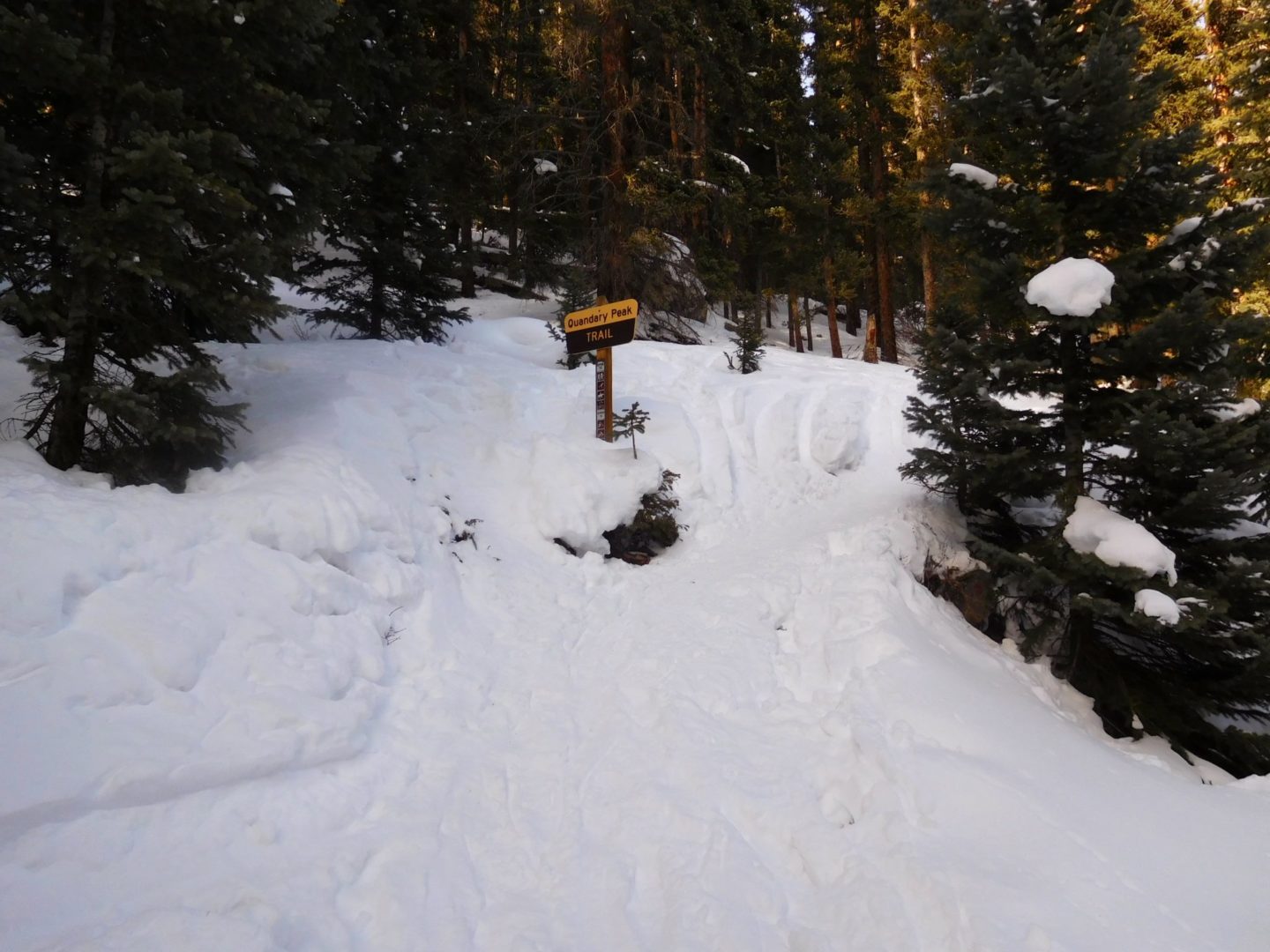
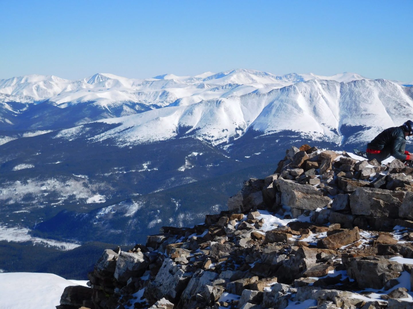
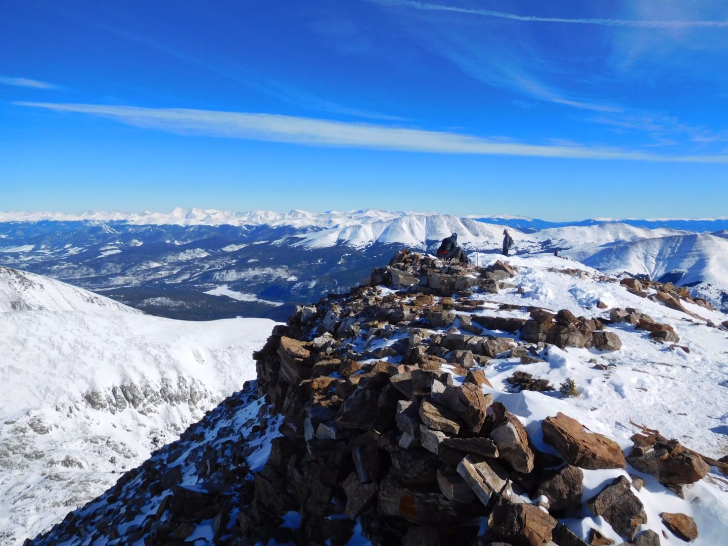
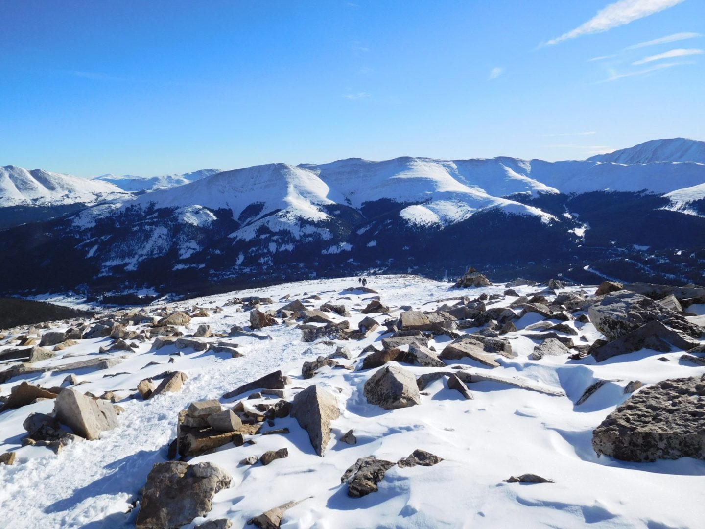
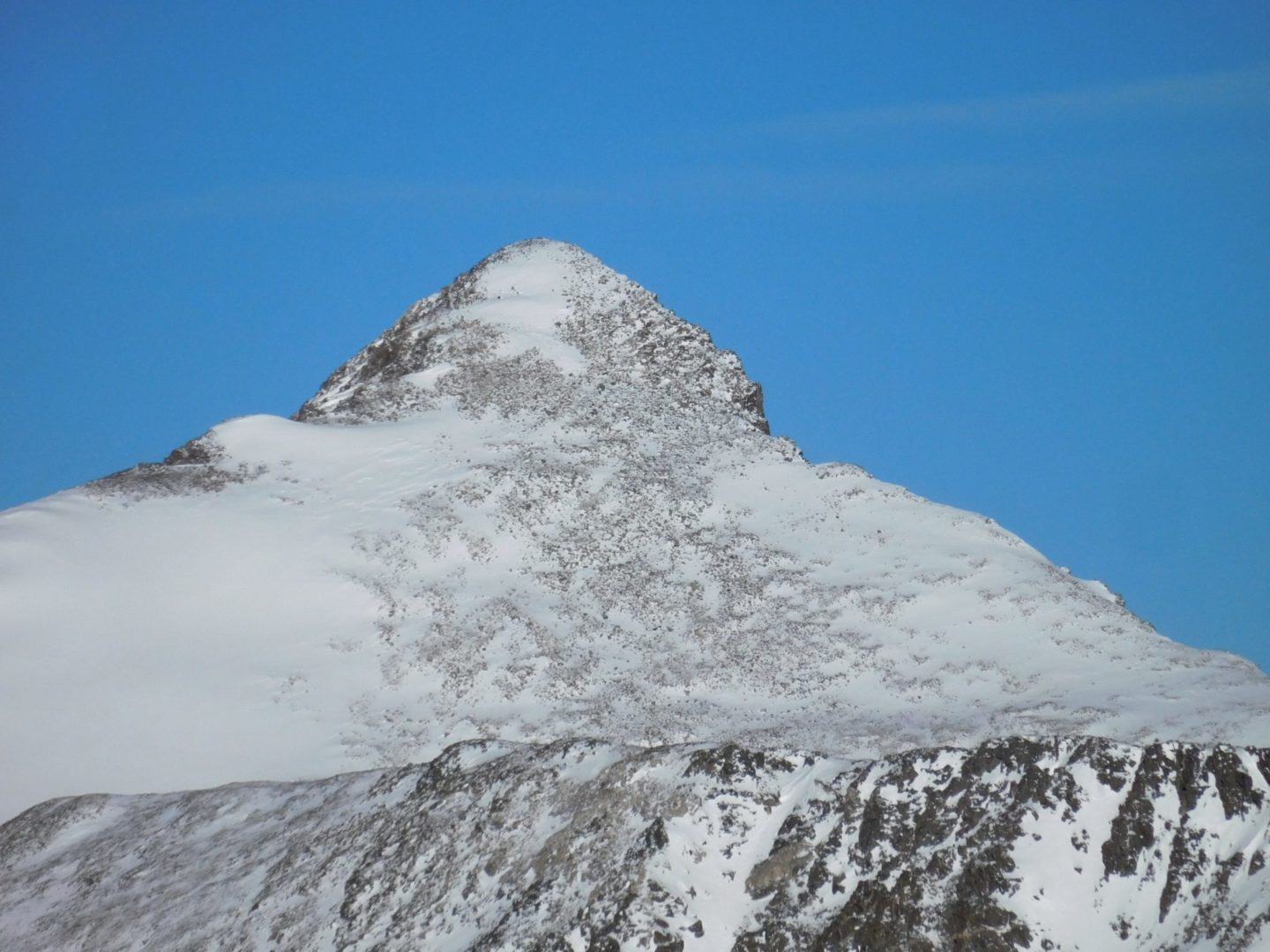
Quandary Peak is the only 14,000′ peak in the Ten Mile Range. The summit provides great views of other nearby peaks such as Northstar Mountain, Mt. Lincoln, Mt. Cameron, Mt. Democrat, and Mt Brossto the south. To the north you see Pacific and Crystal Peak, as well as the Gore Range in the distance.
The mountain lies about 6 miles (10 km) south-southwest of the town of Breckenridge, making it a popular Class 1 route in winter as well.
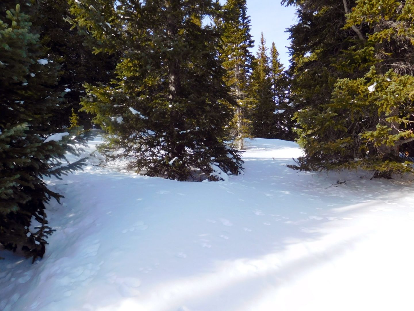
The trail begins climbing immediately through dense forests. After about 0.3 miles there is a large boulder to the right of the trail, turn right. The trail is clear during the summer months, but in the event that it is covered with snow it’s easy to miss this turn. After gaining about 700′, you’ll start to pass through some clearings, some of which are fairly flat, at 11,300′.
You reach tree line quickly at this point providing better views. The ridge pops into view around 11,800′. The trail starts along the left side of the ridge. Follow the switchbacks up towards the ridge crest. From here the summit is visible. Angle left along some flats to stay on the ridge. From here the trail gets rockier and steeper. At 13,400′ ft trail stops switchbacking and heads straight up to the summit straight ahead.