La Plata Peak (14,336′), Sawatch Range
La Plata Peak, in the middle of the Sawatch Range, is known for it’s distinctive Ellingwood Ridge, popular among climbers. The Northwest Ridge trail starts from Highway 82 and follows the northern ridge that divides the La Plata basin from La Plata Gulch. There are several other routes to the summit, such as the Southwest Ridge. “La Plata” is Spanish for “The Silver”, a reference to the many silver deposits in the area.
The Sawatch Mountain Range is home to fourteen other 14,000′ peaks, such as Huron Peak, Mt Antero, Missouri Mountain, and the highest peak in the Rocky Mountains, Mt Elbert.
Trail Stats
- Trailhead: La Plata Peak (Northwest Ridge)
- Round trip: 9.25 miles / 14.9 km
- Elevation: 10,000′ – 14,336′ / 3,048 m – 4,370 m
- County: Chaffee
- Agency: U.S. Forest Service
- Nat’l Forest: San Isabel

Trail Pictures
Back at the trailhead
Back at the trailhead

The cold fogging up my lens
The cold fogging up my lens
Almost back in the protection of the trees
Almost back in the protection of the trees
Heading back as the conditions were to windy
Heading back as the conditions were to windy
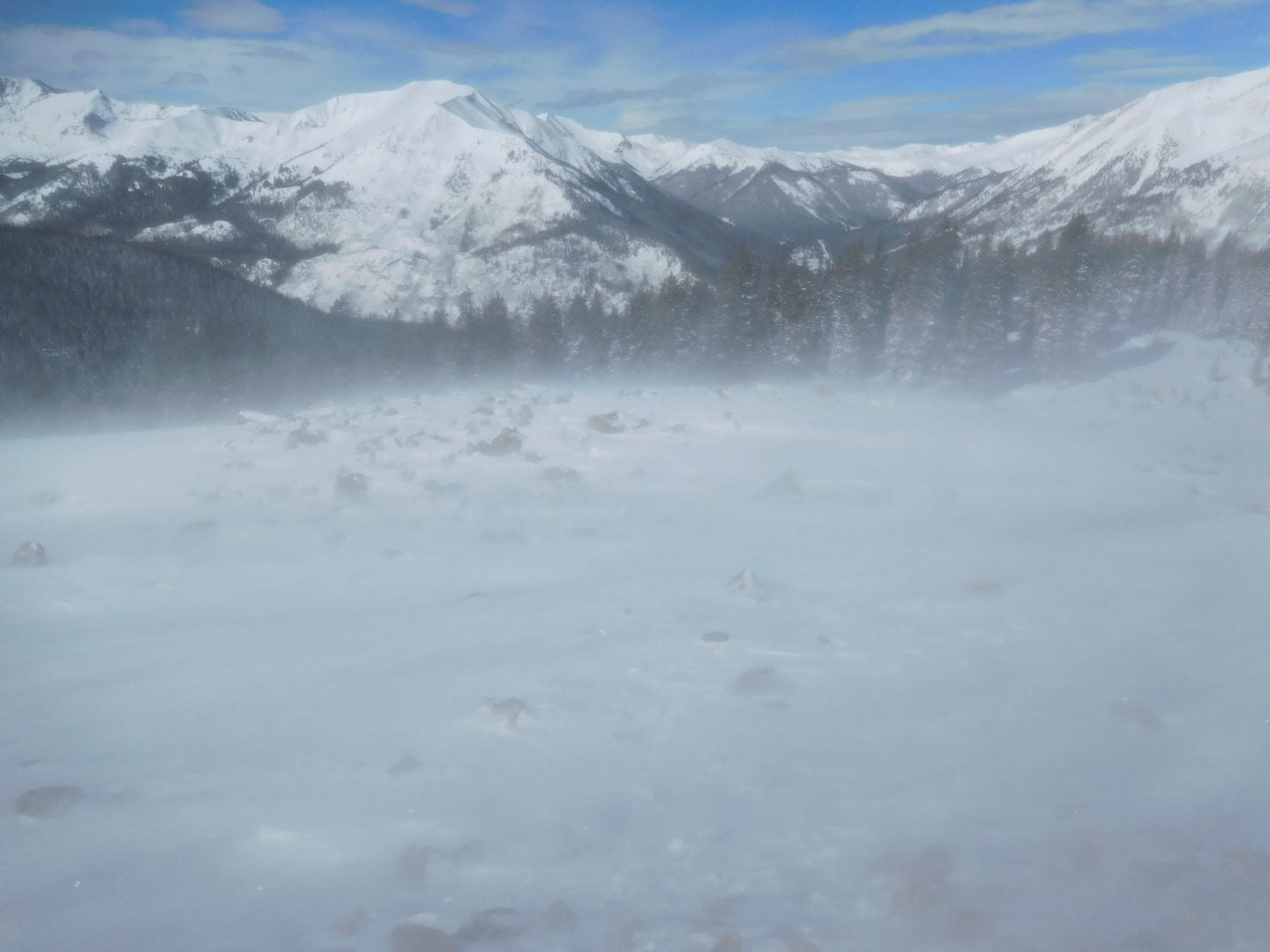
Wind and visibility became a real issue
Wind and visibility became a real issue
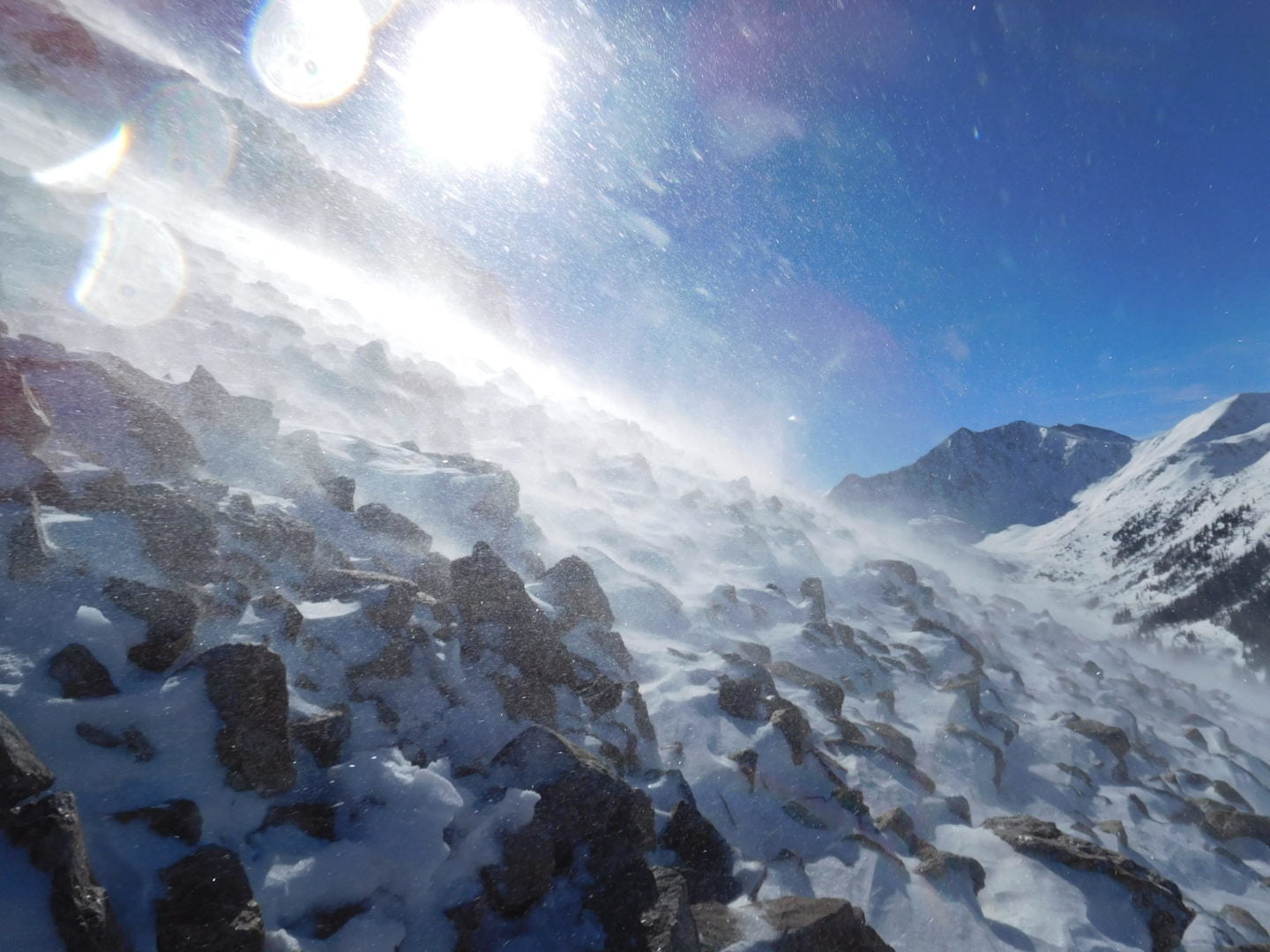
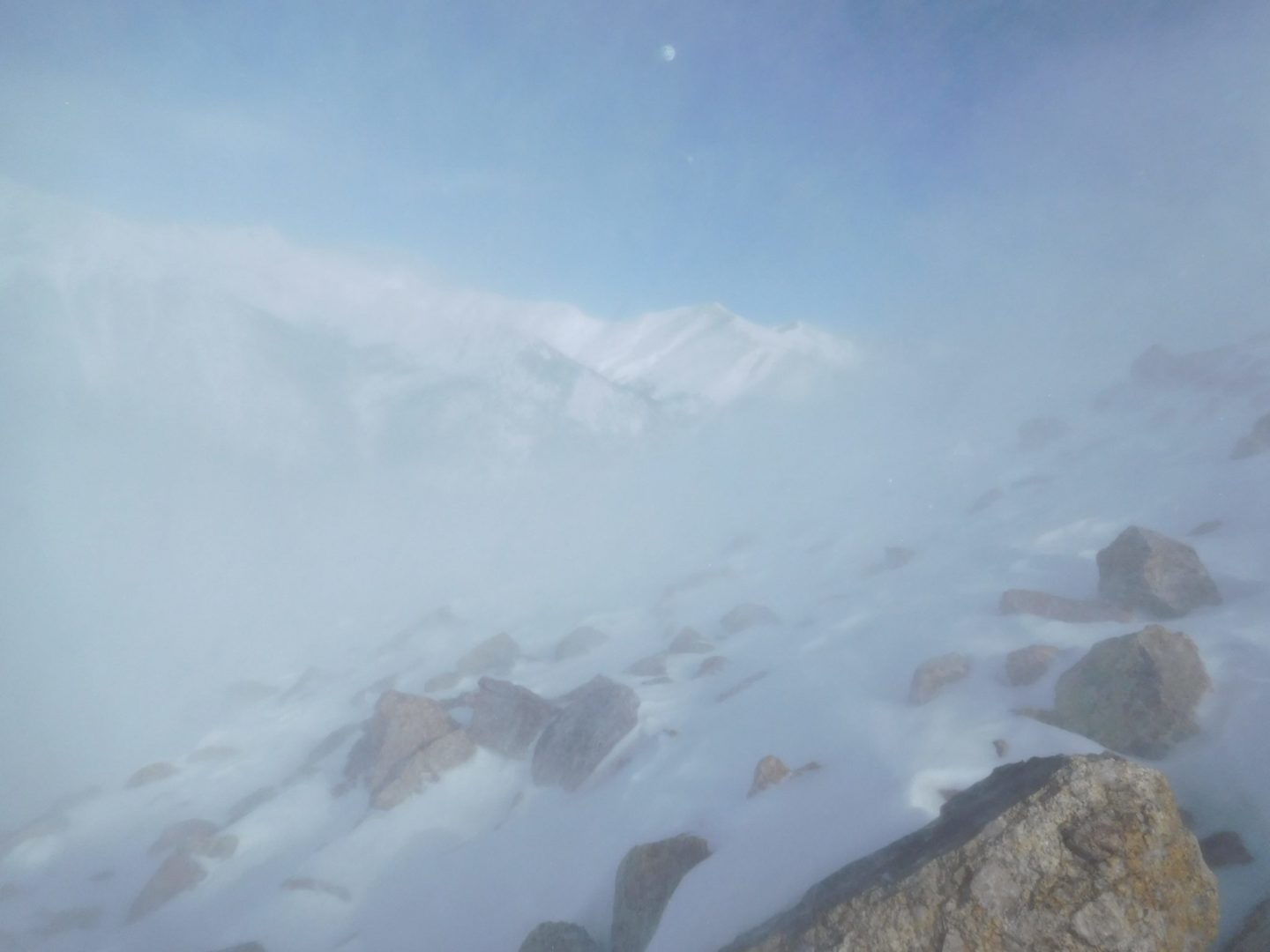
Pelted with ice pellets blown up from the ground
Pelted with ice pellets blown up from the ground
Wind begins to pick up
Wind begins to pick up

On the shoulder of Ellingwood Point
On the shoulder of La Plata Peak

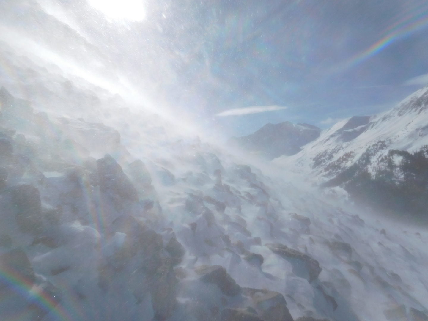
Heading higher the wind became a major factor
Heading higher the wind became a major factor

View back down my tracks
View back down my tracks

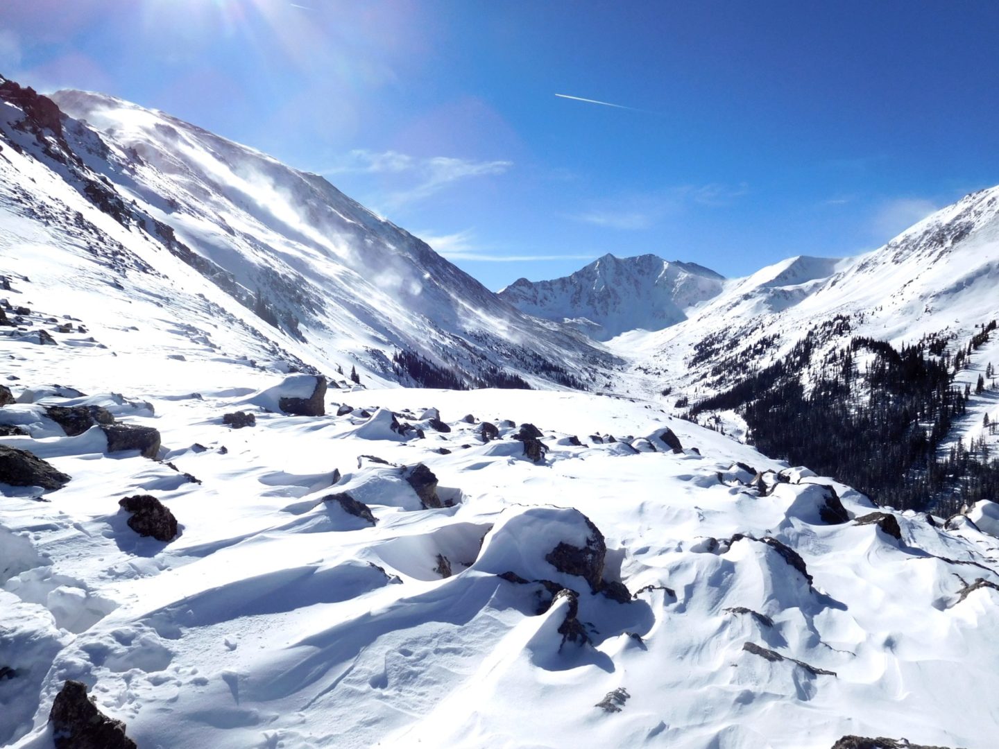
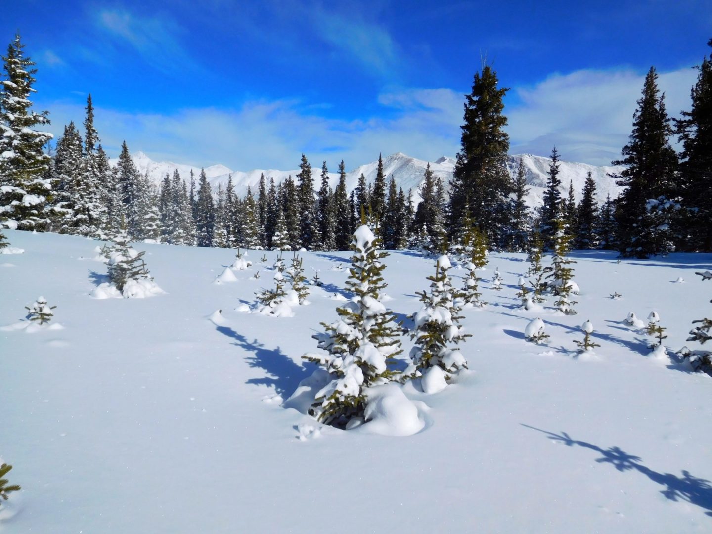
A glimpse of the Sawatch Mountain Range
A glimpse of the Sawatch Mountain Range
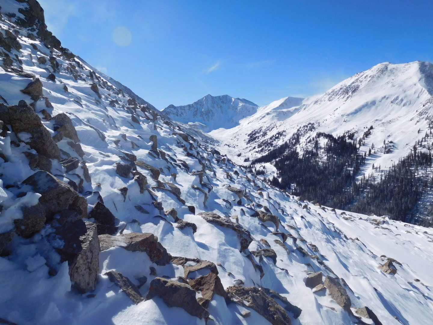
View into an adjacent valley
View into an adjacent valley
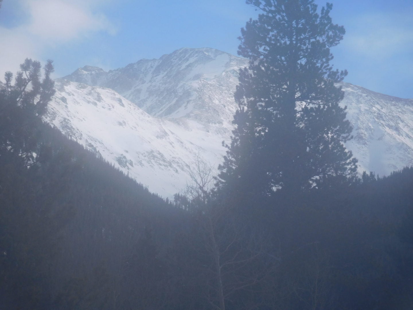
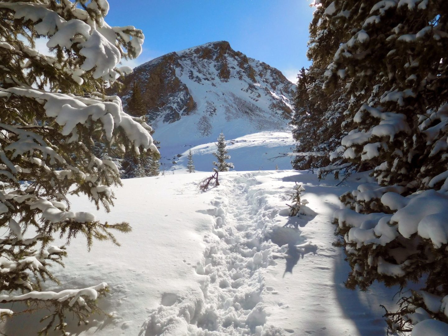
View La Plata Peak
View La Plata Peak
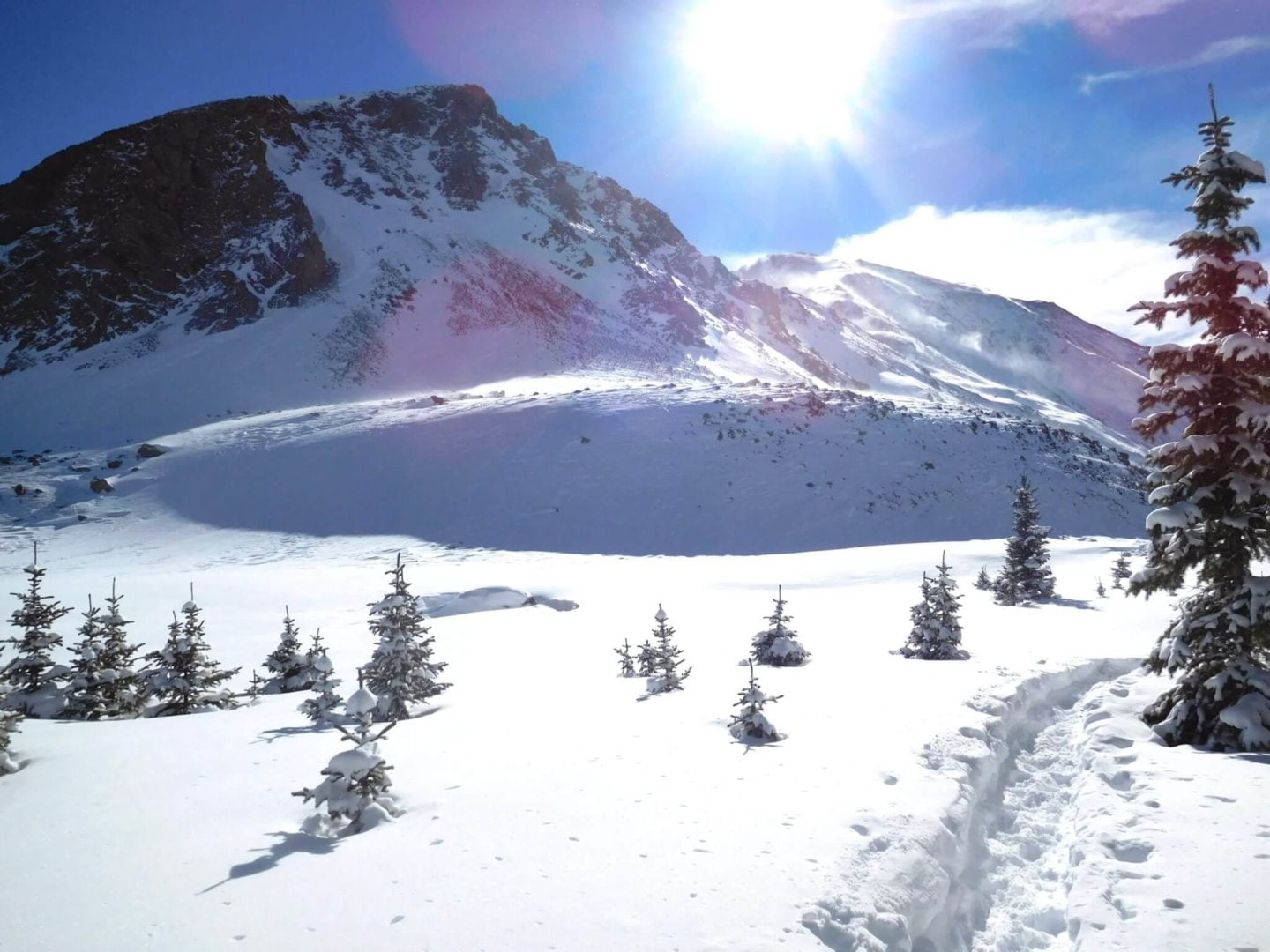
Near treeline
Near treeline
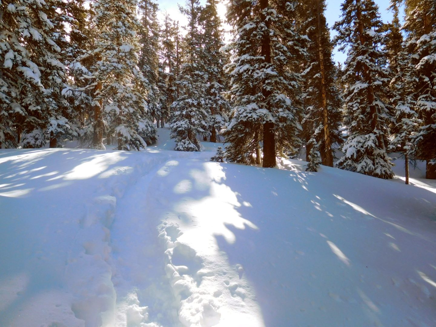
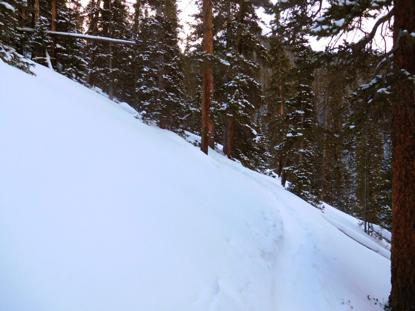
Breaking through the forest
Breaking through the forest
Ski trail
Ski trail
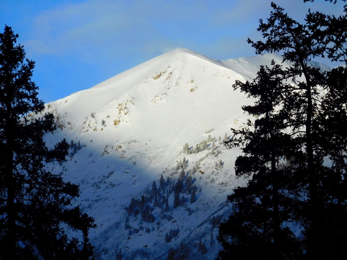
View of Sayres (13,748′)
View of Sayres (13,748′)
Deep snow and slow going
Deep snow and slow going
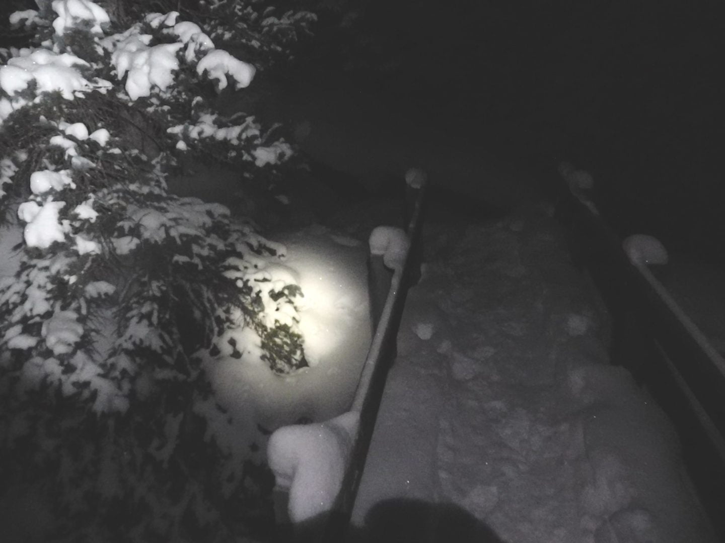
Bridge crossing before sunrise
Bridge crossing before sunrise
GPS Route with Elevation
Know when to turn around. Turned around near 12,000′ due to heavy winds and low visibility, despite what initially appeared to be a picture perfect day.
Video Tour
Trail Directions
From the trailhead hike east into the woods crossing South Fork Lake Creek. Turn right after the bridge and hike a small distance to cross La Plata Gulch on a smaller bridge. Head right and reach a small clearing almost 100 yards after the bridge crossing. In the clearing, there is a smaller trail that heads off to the east – stay right on the main trail. Eventually the trail has log and stone steps making a steep climb through the forest.
Climb briefly to a small, level area above 12,000′ where you will find a large square boulder near the trail. Turn left and climb to the northwest ridge. Next hike to the base of a large buttress and follow the trail as it turns right and climbs around to the west side of the ridge. If you lose the trail, turn left and climb directly up to the top of the ridge. As you near the top ,curve around to the west side, turn left and follow the trail to the summit.
Trailhead Directions