Missouri Mountain (14,071′), Sawatch Range
At 14,067 feet, Missouri Mountain is the 36th highest peak in Colorado. It is located in the Sawatch Range of the Rocky Mountains, and is part of the Collegiate Peaks Wilderness. With eight “14ers” (peaks exceeding 14,000′ in elevation), the Collegiate Peaks Wilderness has the highest average elevation of any Wilderness Area outside of Alaska.
The other Collegiate 14ers include Huron Peak (14,006′), Mt. Columbia (14,075′), Mt. Oxford (14,158′), Mt Yale (14,200′), Mt Belford (14,202′), La Plata Peak (14,344′), and Mt Harvard (14,424′).
Trail Stats
- Trailhead: Missouri Gulch
- Round trip: 10.5 miles / 16.9 km
- Elevation: 9,650′- 14,071′ / 2,941 m – 4,289 m
- County: Chaffee
- Agency: U.S. Forest Service
- Nat’l Forest: San Isabel
- Nat’l Wilderness: Collegiate Peaks

Trail Pictures
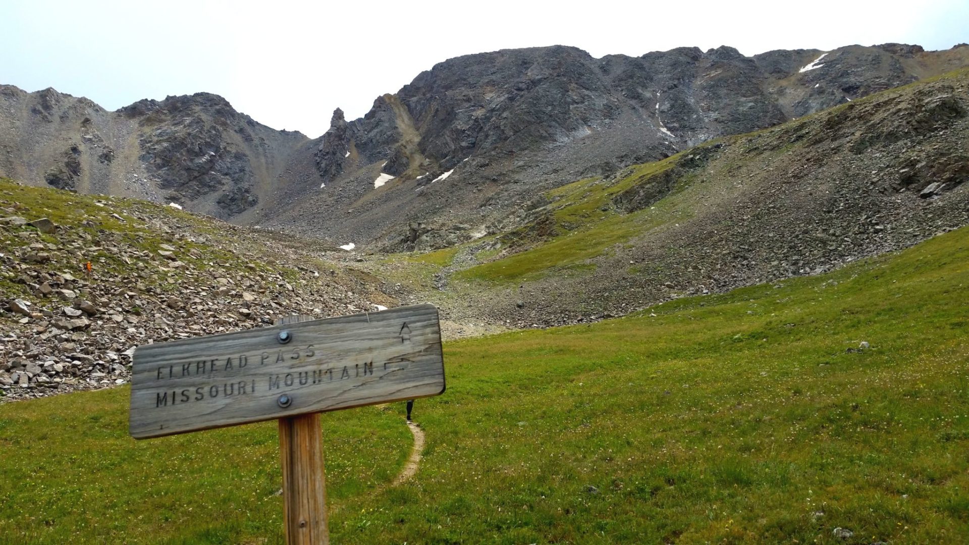
Trail junction in Missouri Gulch
Trail junction in Missouri Gulch
Rainy Mt Belford
Rainy Mt Belford

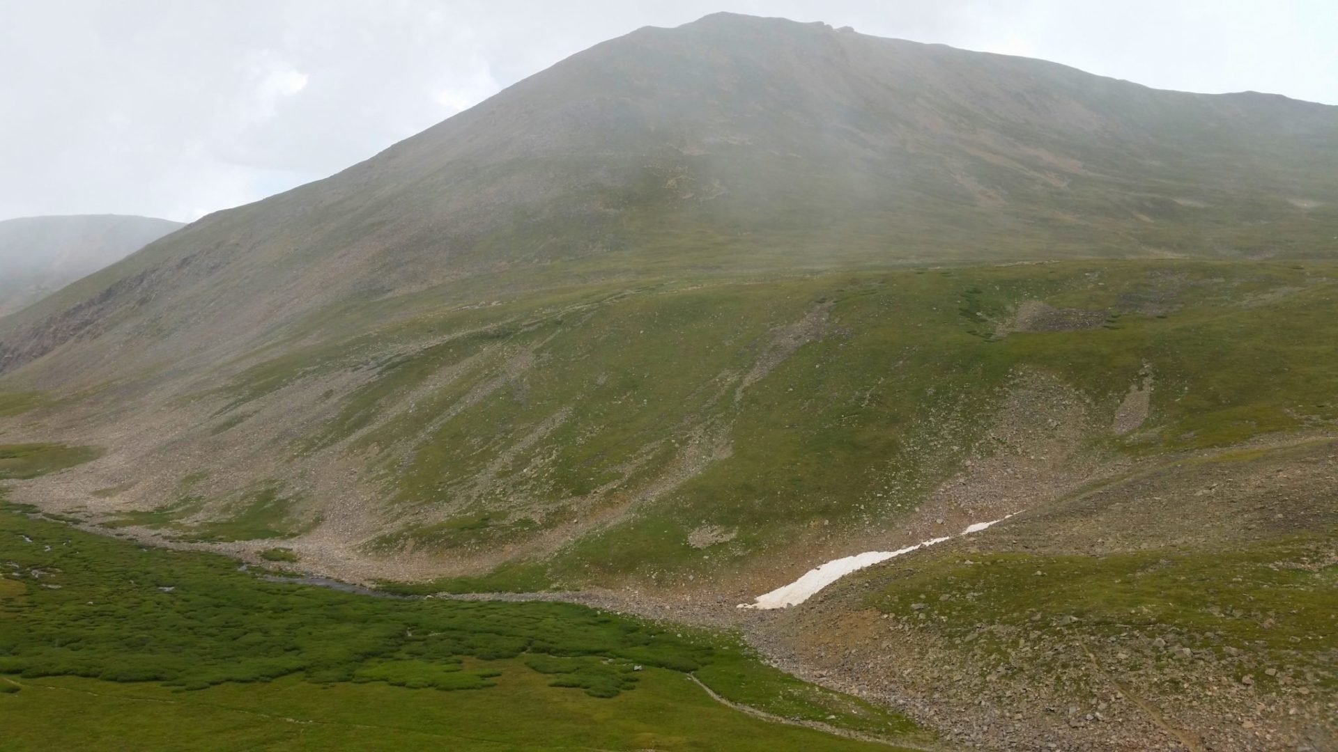
Rain over Missouri Mountain
Rain over Missouri Mountain
View west from the trail
View west from the trail
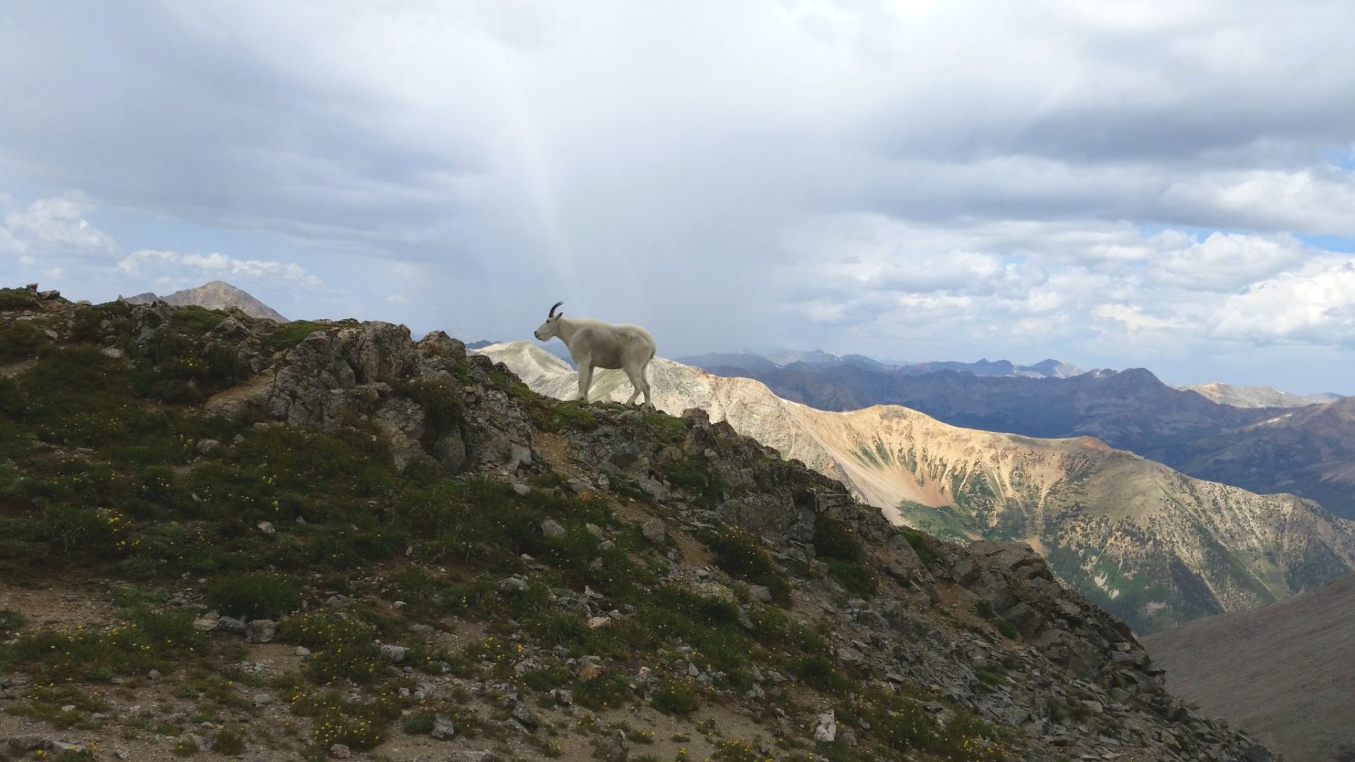
Mountain goat on the ridge
Mountain goat on the ridge
Looking back down the trail
Looking back down the trail
Huron Peak in the center
Huron Peak in the center

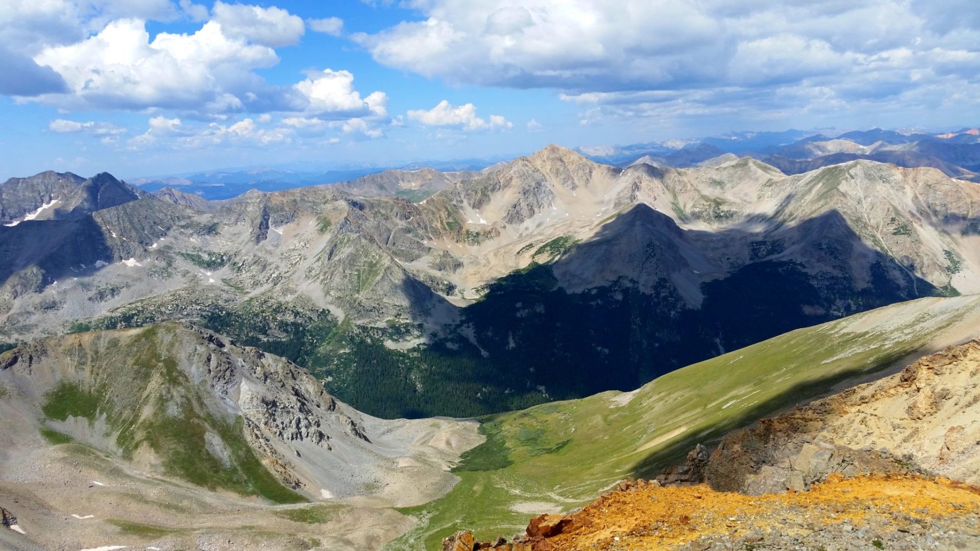
Missouri Mountain summit view
Missouri Mountain summit view

From left – Mt Columbia (14,073′) over the ridge, Mt Yale (14,196′) middle front, Mt Princeton (14,197′) further back just left of Mt Yale, Mt Antero in the distance, Mt Shavano and Tabeguache Peak towards the right
From left – Mt Columbia (14,073′) over the ridge, Mt Yale (14,196′) middle front, Mt Princeton (14,197′) further back just left of Mt Yale, Mt Antero in the distance, Mt Shavano and Tabeguache Peak towards the right
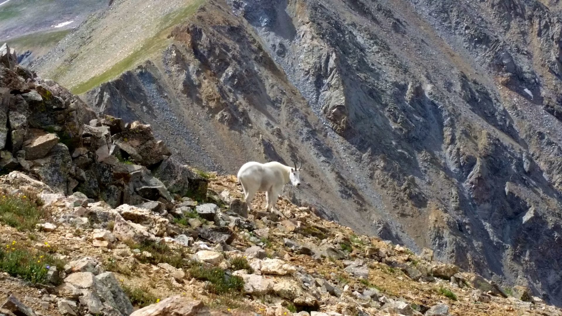
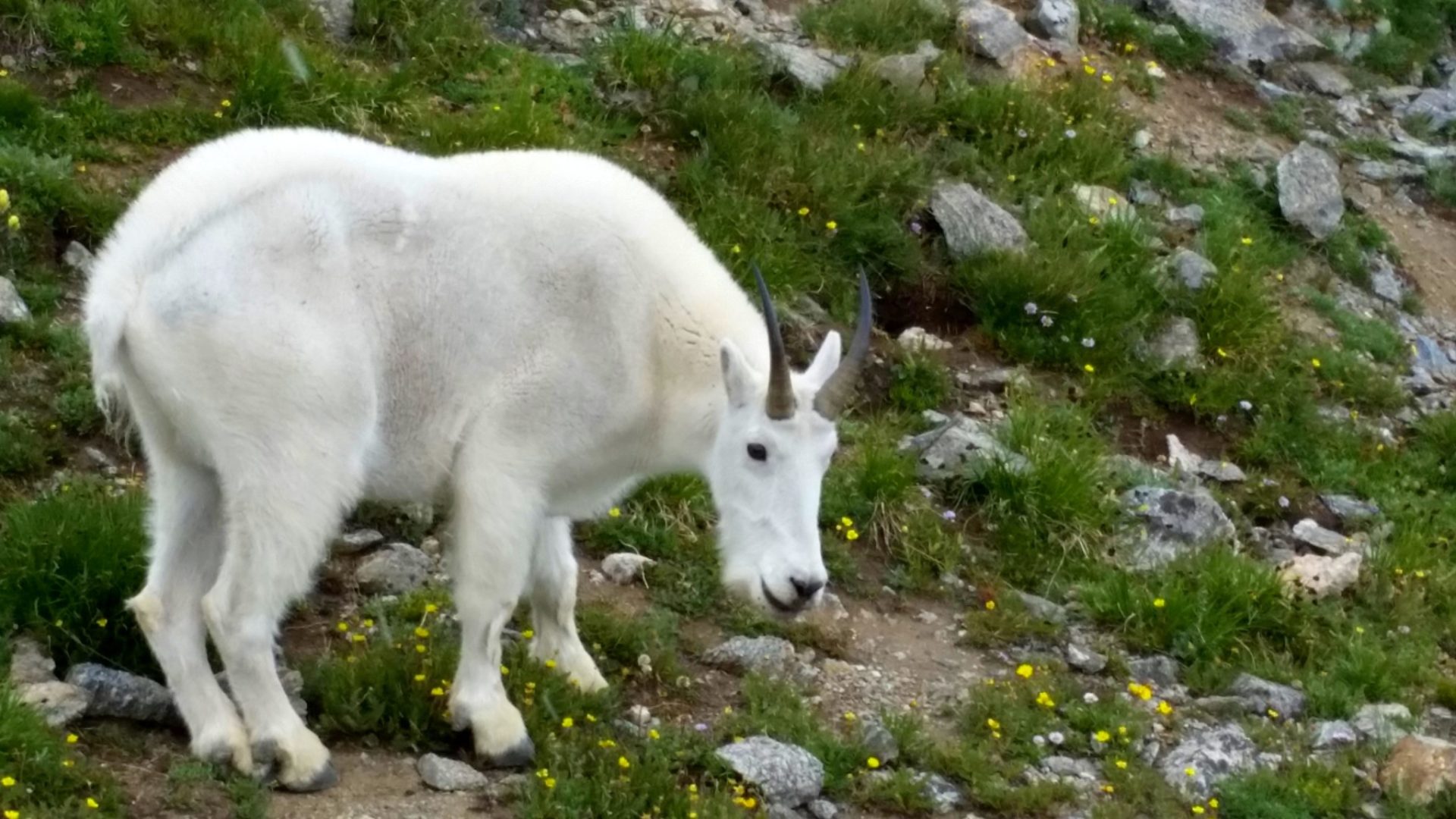
Mountain goat
Mountain goat
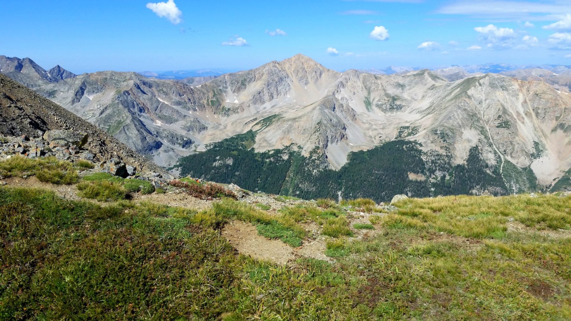
View of Huron Peak from the ridge
View of Huron Peak from the ridge
Missouri Mountain near the ridge
Missouri Mountain near the ridge
Mt Belford
Mt Belford
Missouri Mountain
Missouri Mountain

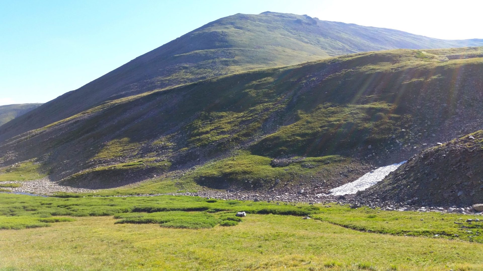
After a hard climb into the gulch, easier hiking for a while
After a hard climb into the gulch, easier hiking for a while

Sunrise on Missouri Mountain
Sunrise on Missouri Mountain

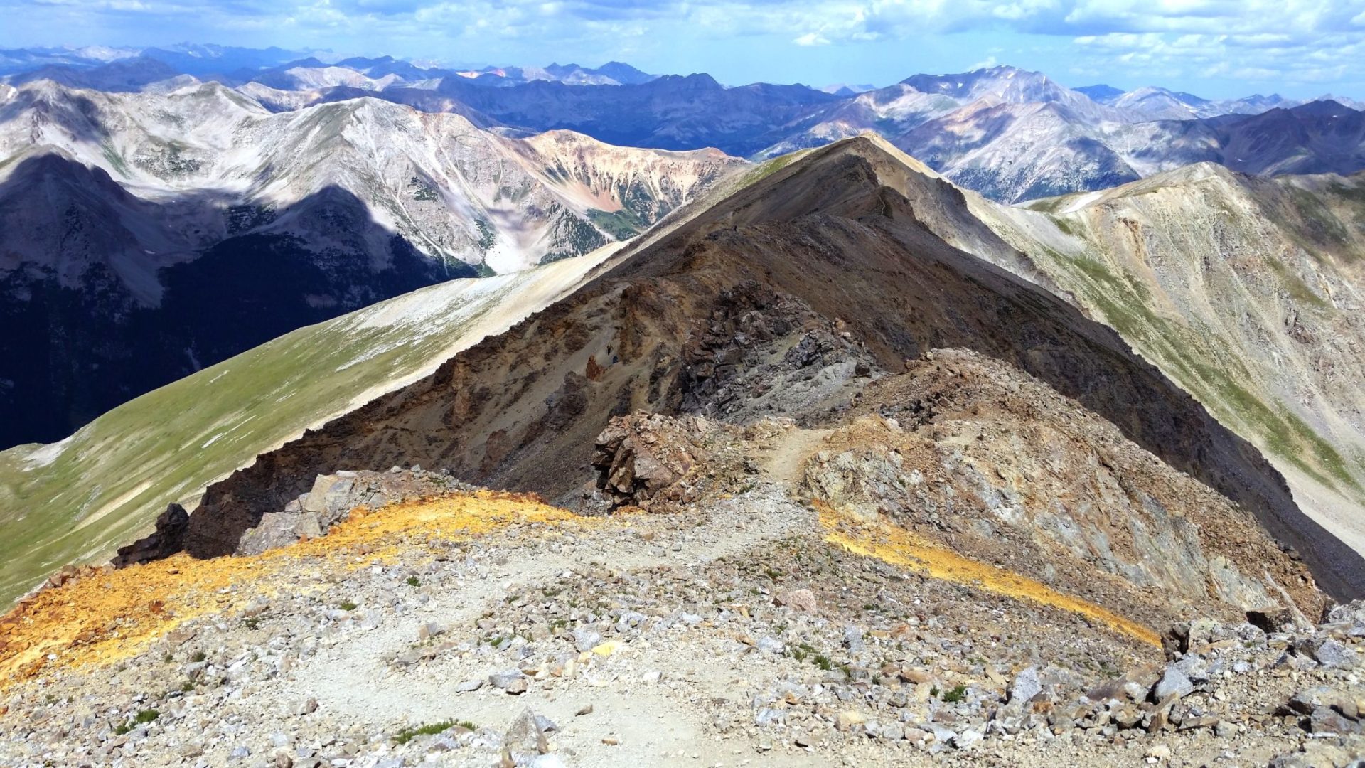
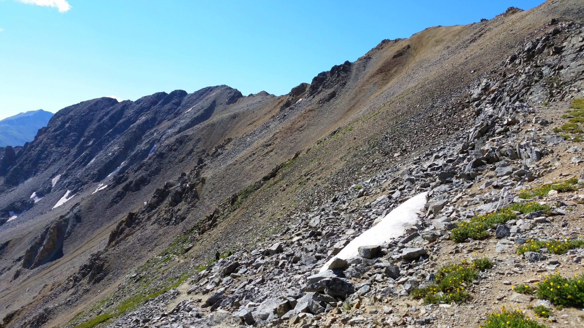
The crux of the route near the summit
The crux of the route near the summit
Wrong turn at the creek lead to a boulderfield…ooops
Wrong turn at the creek lead to a boulderfield…ooops

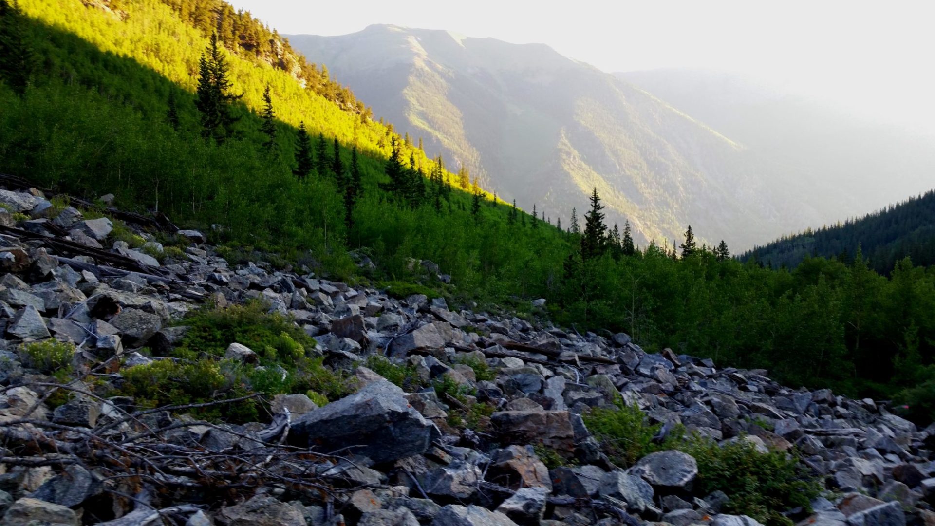
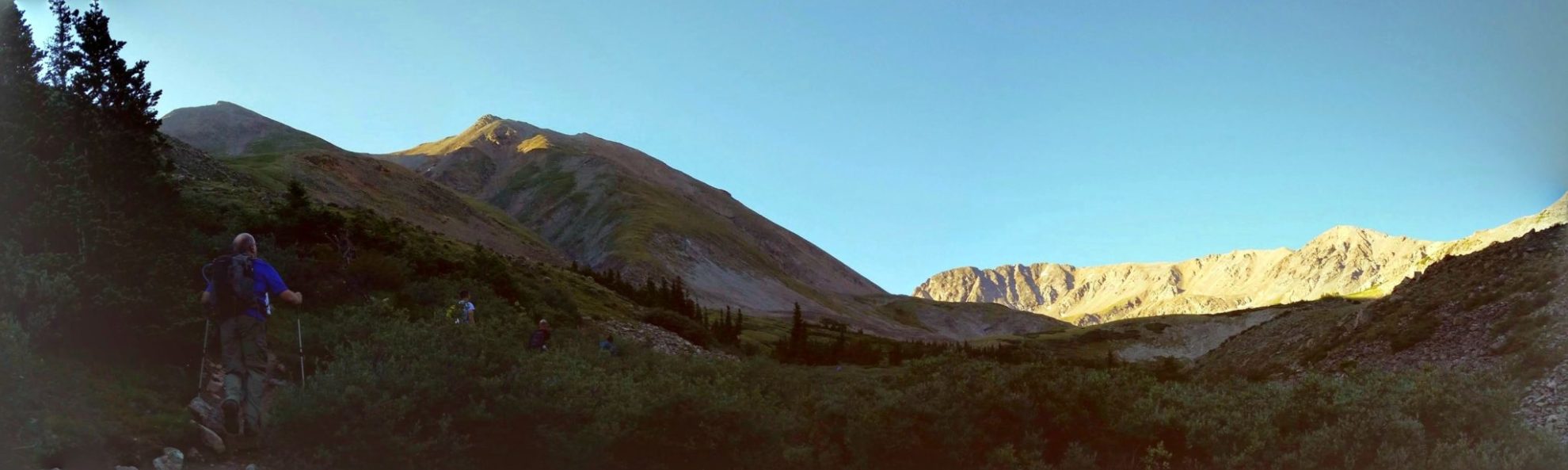
Early morning on the Missouri Gulch trail
Early morning on the Missouri Gulch trail
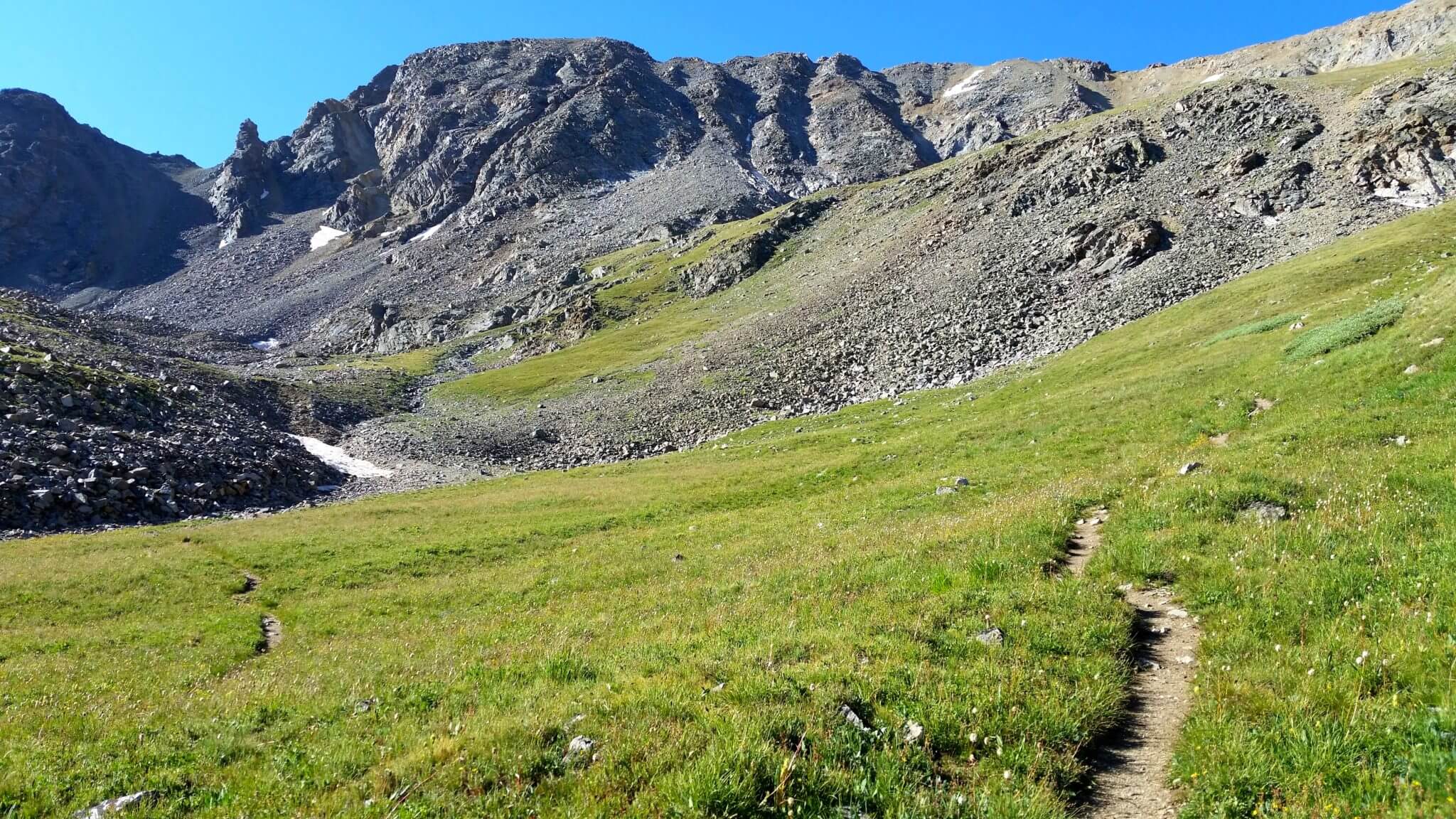
Missouri Gulch
Missouri Gulch
GPS Route with Elevation
Video Tour
Trail Directions
The first 3.5 miles is strenuous, with an elevation gain of 3,740 feet. The next 3.3 miles has an elevation loss of 1,670 feet. Follow the Missouri Gulch Trail into upper Missouri Gulch (approx. 2.5 miles). As the trail ascends to 12,600 feet, it turns abruptly east to climb up to Elkhead Pass.
A cairn marks the turn off here for the ascent of Missouri Mountain. Turn west and climb the grassy slopes and a loose talus slope toward the low point on Missouri’s northwest ridge. From the ridge, hike southeast to Missouri’s summit.