Mt Bierstadt (14,066′), Front Range
Mount Bierstadt is a 14,066-foot-high (4,287 m) mountain summit in the Front Range of the Rocky Mountains. The fourteener is located in the Mount Evans Wilderness of Pike National Forest, 9.4 miles southeast of Georgetown in Clear Creek County. It was named in honor of Albert Bierstadt, an American landscape painter who made the first recorded summit of the mountain in 1863.
Mt Bierstadt is one of the most popular mountains to climb in Colorado, connected to neighboring 14,000′ peak Mt Evans by a class 3 ridge called the Sawtooth. Due to the good trail and slope of the mountain, it is considered one of the least difficult 14er’s to summit.
Trail Stats
- Trailhead: Guanella Pass
- Round trip: 7 miles / 11.3 km
- Elevation: 11,670′ – 14,066′ / 3,557 m – 4,287 m
- County: Clear Creek
- Agency: U.S. Forest Service
- Nat’l Forest: Pike
- Nat’l Wilderness: Mt Evans

Trail Pictures
Snow capped Argentine Peak to the right
Snow capped Argentine Peak to the right
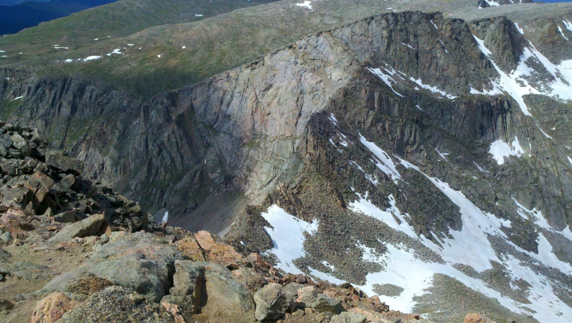
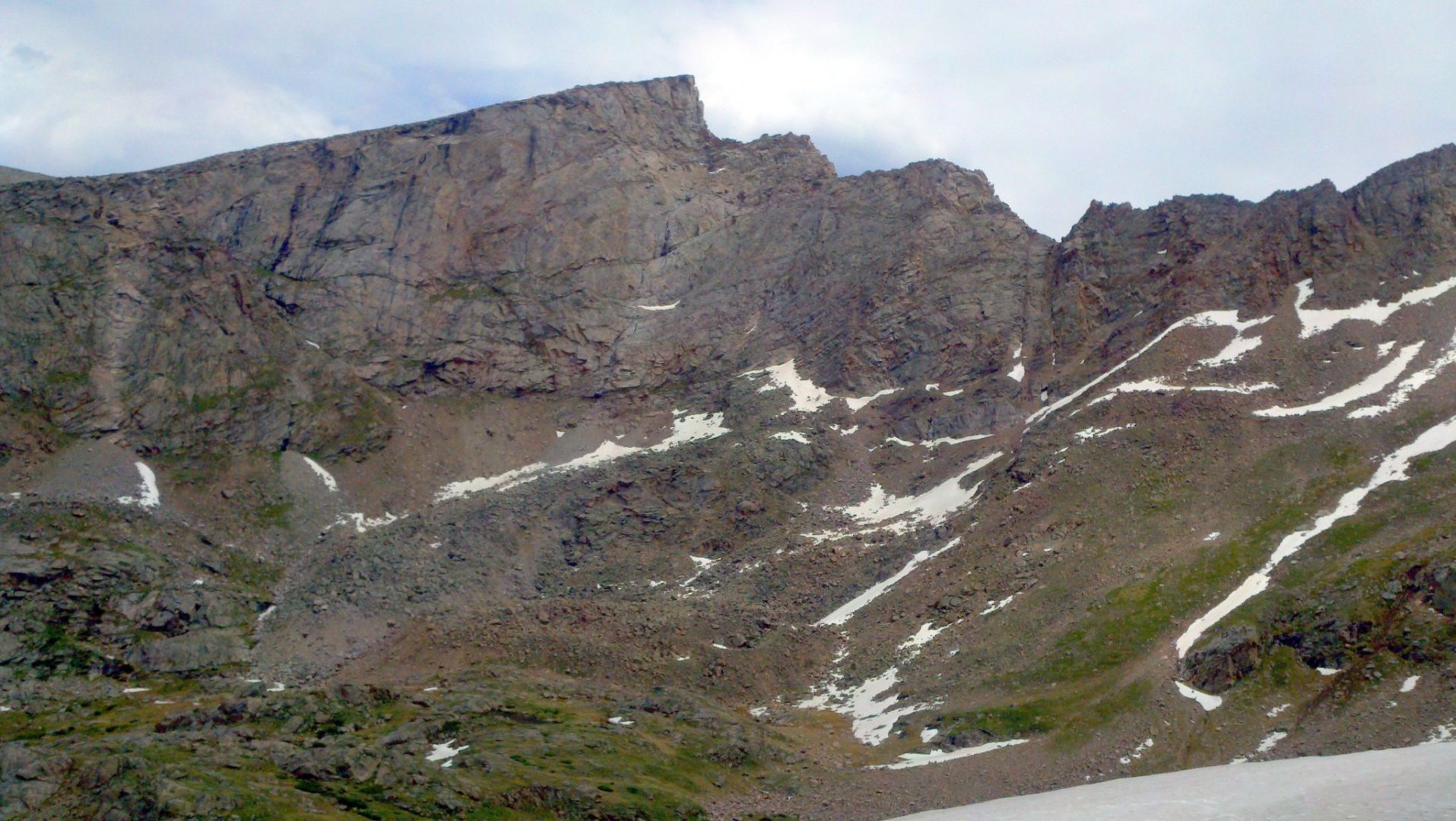
Sawtooth area
Sawtooth area
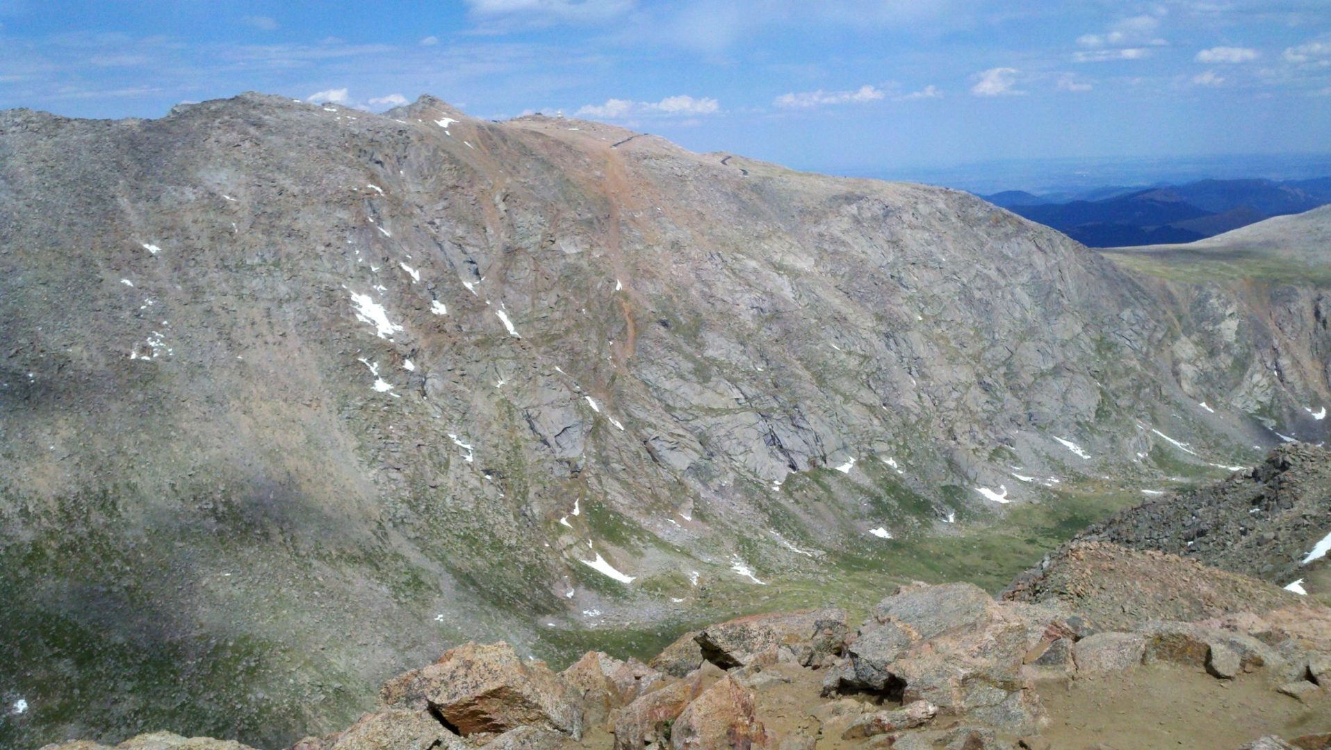
View of Mt Evans and the observatory
View of Mt Evans and the observatory

Another view of Mt Evans
Another view of Mt Evans
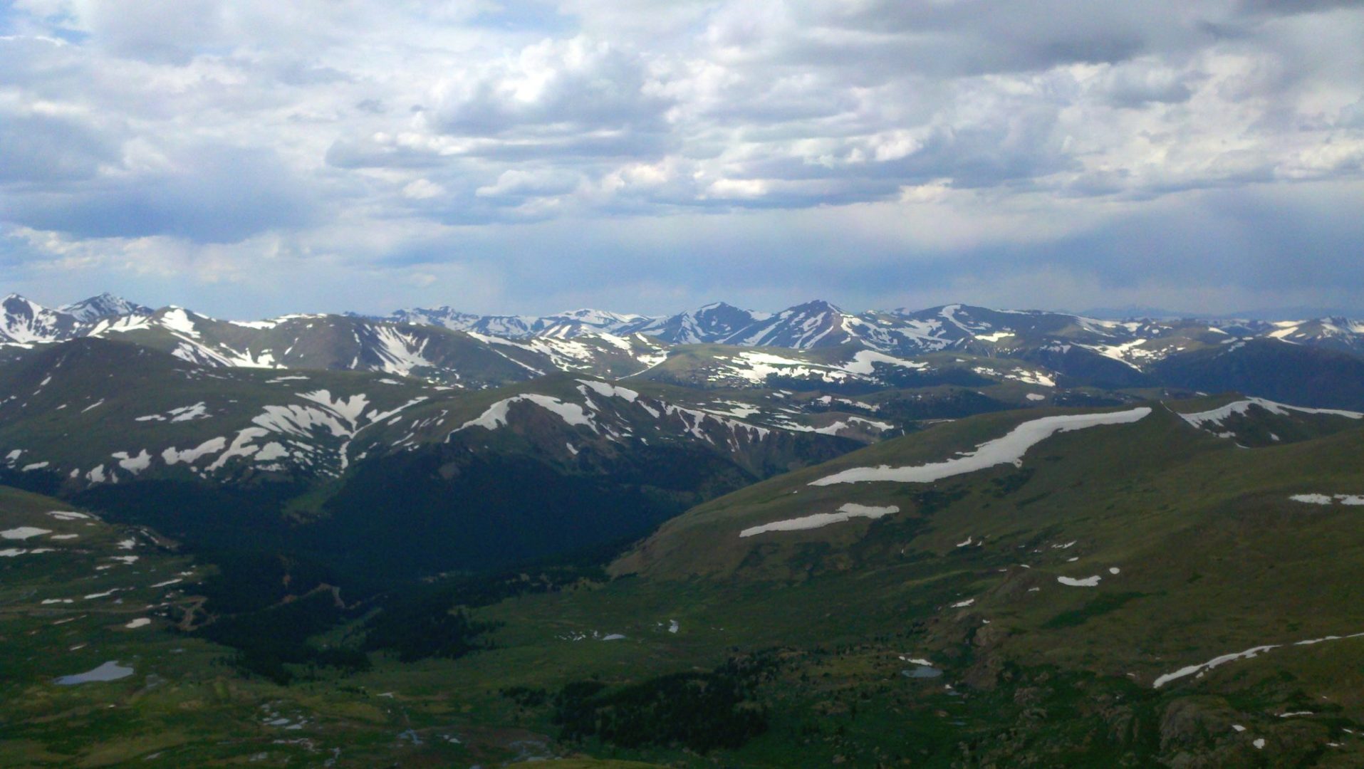
View southeast
View southeast
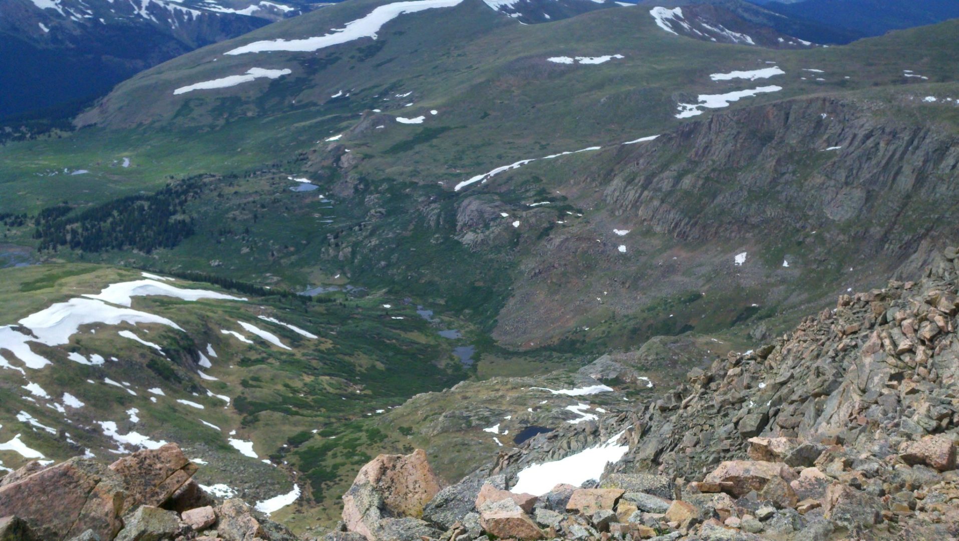
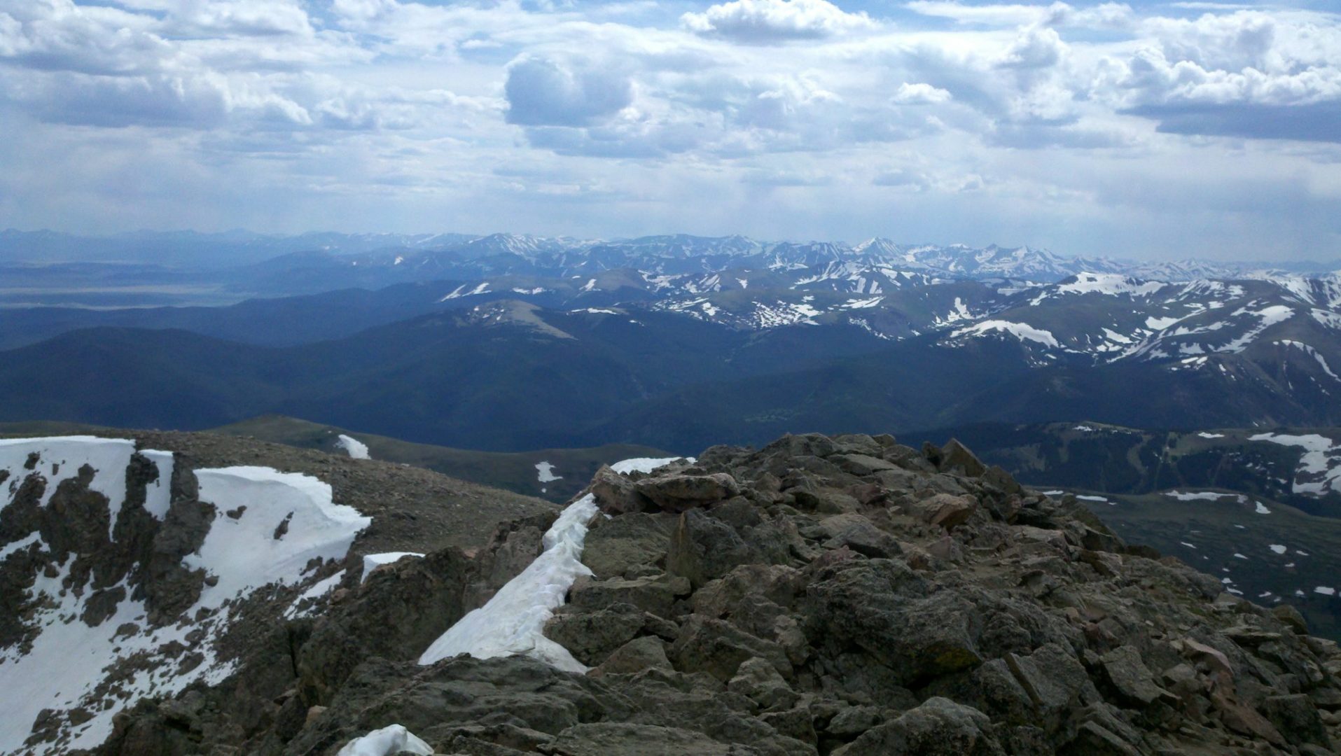
Summit view of the valley below
Summit view of the valley below

Mt Evans and the observatory
Mt Evans and the observatory
Torreys Peak (14,275′) on the left, Mt Parnassus (13,574′) and Bard Peak (13,647′) in the middle, and Englemann Peak (13,368′) is the flat ridge heading to the right
Torreys Peak (14,275′) on the left, Mt Parnassus (13,574′) and Bard Peak (13,647′) in the middle, and Englemann Peak (13,368′) is the flat ridge heading to the right
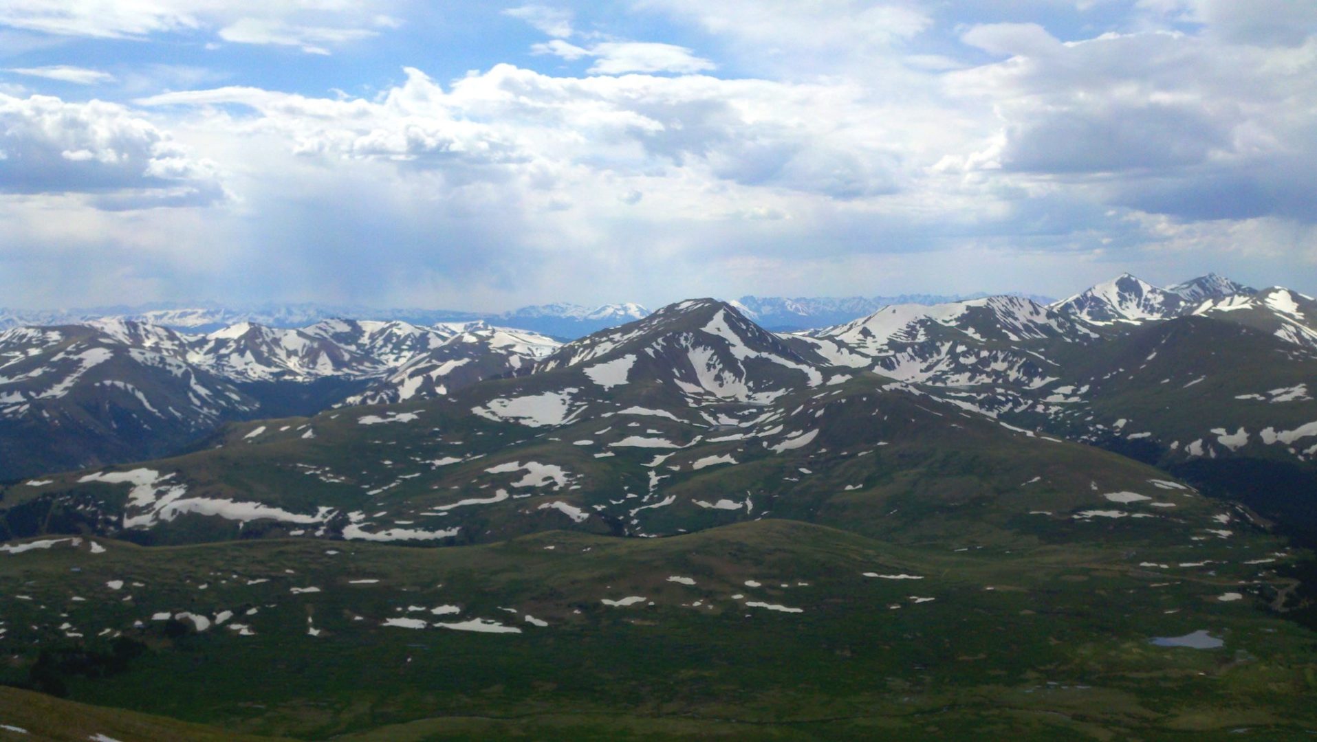
Square Top Mountain ( 13,794′) in the center. Grays (14,270′) and Torreys (14,267′) peak’s rise up on the right
Square Top Mountain ( 13,794′) in the center. Grays (14,270′) and Torreys (14,267′) peak’s rise up on the right

Summit view
Summit view
Summit view
Summit view

Mt Bierstadt summit
Mt Bierstadt summit

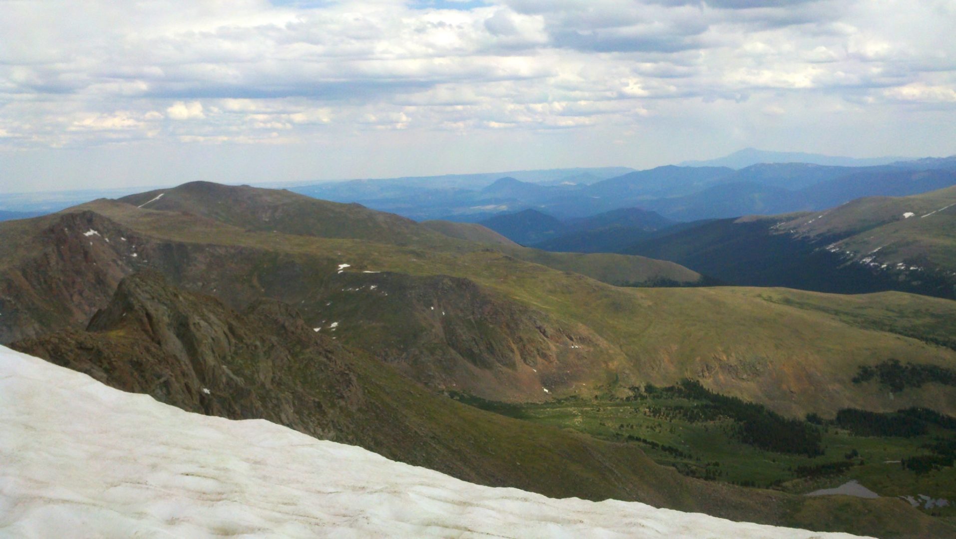
View from the shoulder of Mt Bierstadt
View from the shoulder of Mt Bierstadt

Mt Bierstadt summit ahead
Mt Bierstadt summit ahead

Mt Parnassus (13,574′) and Bard Peak (13,647′) in the middle, and Englemann Peak (13,368′) is the flat ridge heading to the right
Mt Parnassus (13,574′) and Bard Peak (13,647′) in the middle, and Englemann Peak (13,368′) is the flat ridge heading to the right
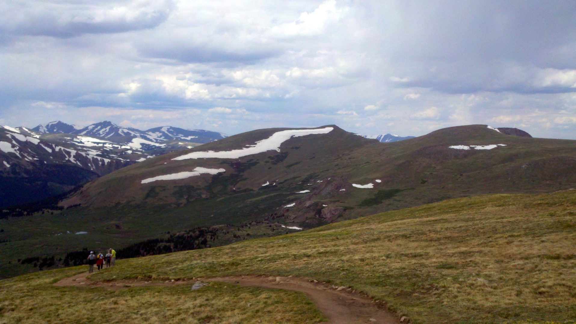
Along the lower trail
Along the lower trail
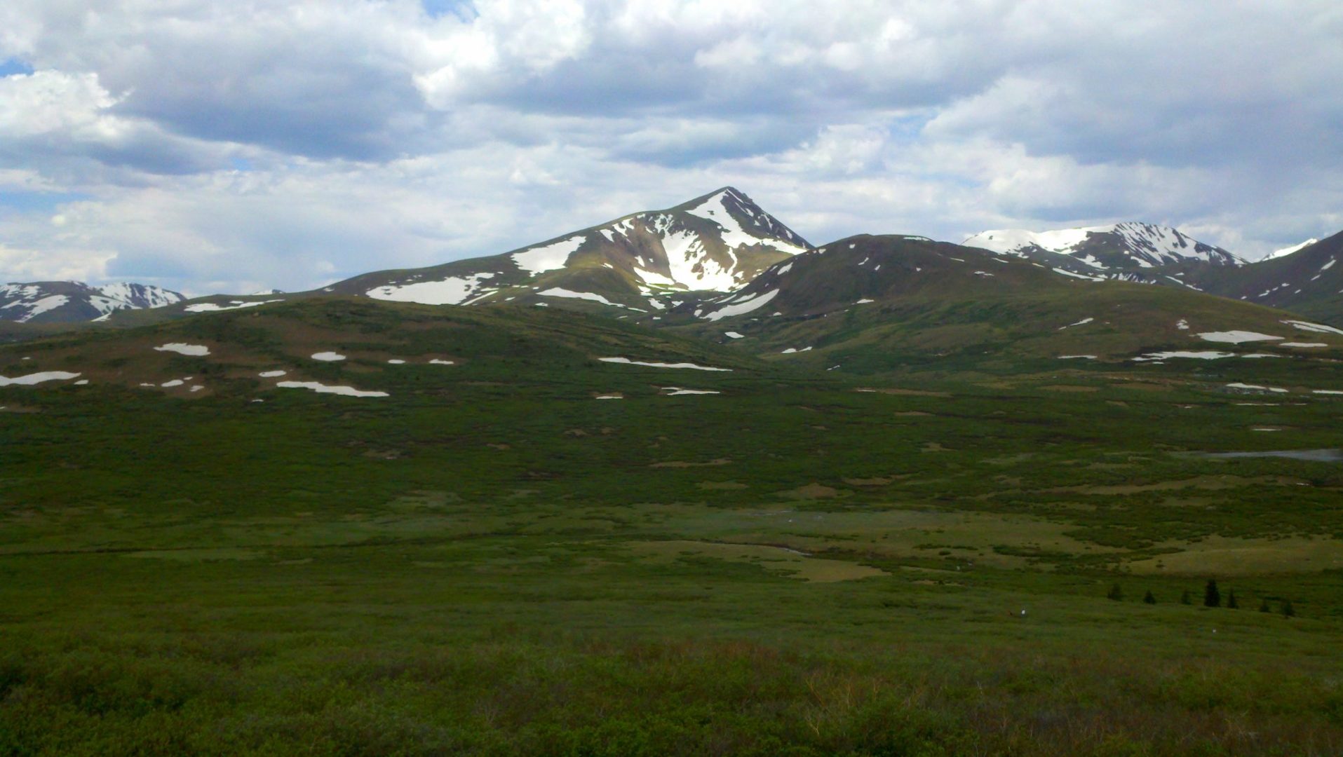
Grays and Torreys snow capped peaks are just right of center, barely rising above the foreground. Snow capped Argentine Peak (13,743′) is in the middle and slightly to the left
Grays and Torreys snow capped peaks are just right of center, barely rising above the foreground. Snow capped Argentine Peak (13,743′) is in the middle and slightly to the left

Mt Bierstadt trail to the summit
Mt Bierstadt trail to the summit
The Sawtooth
The Sawtooth

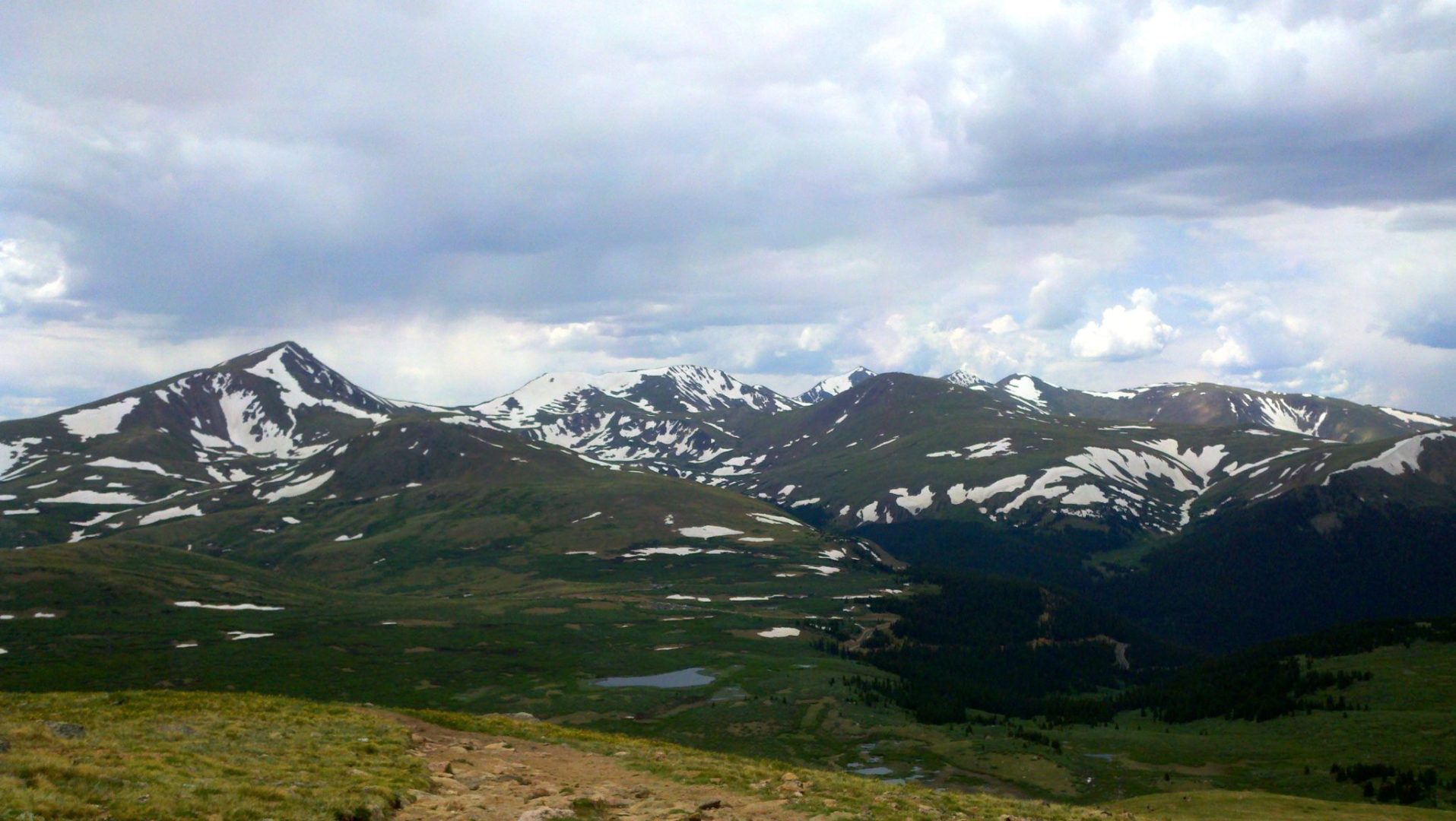
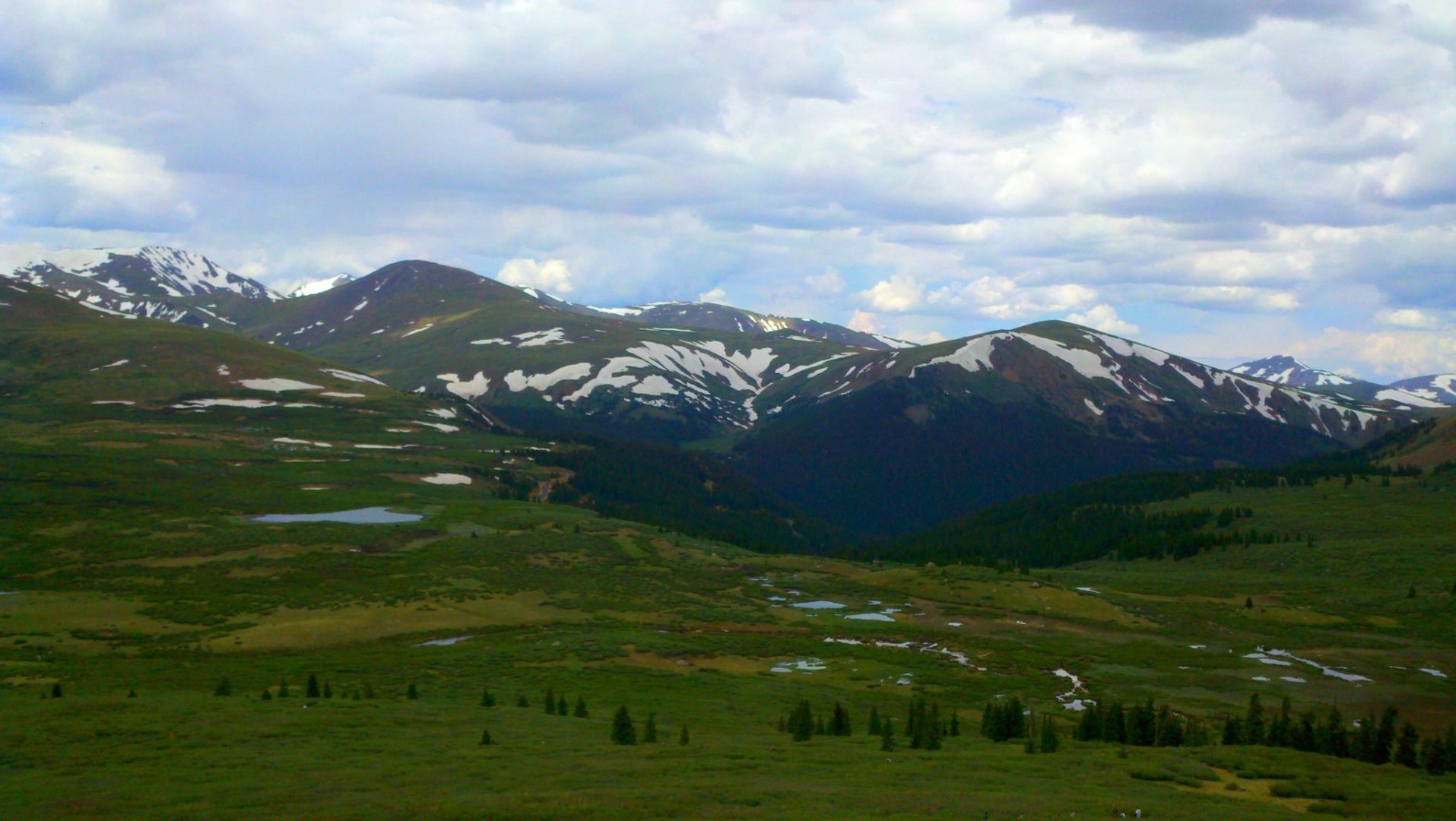
Guanella Pass area
Guanella Pass area
Late start but a beautiful day
Late start but beautiful day

View of Mt Evans summit
View of Mt Evans summit

Summit panorama
Summit panorama
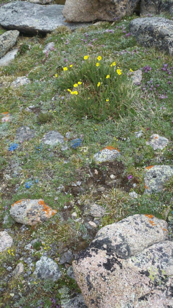
Alpine tundra
Alpine tundra
GPS Route with Elevation
Video Tour
Trail Directions
The most popular trailhead for Mount Bierstadt is located on Guanella Pass, located to the west of the mountain. Initially the trail descends slightly into the level marshlands surrounding Scott Gomer Creek before reaching Bierstadt’s western slopes.
The trail is well defined to the upper slopes. On the rocky upper regions of the mountain the route of the trail is marked by a series of cairns. The trail levels about 200 feet (61 m) below the summit before beginning the final ascent