Flat Tops Scenic Byway (10,343′), Flat Tops
Flat Tops Trail Scenic Byway (County Road 8), runs through the northern portion of the Flat Tops Wilderness. The Flat Tops is Colorado’s second largest Wilderness, spanning a total of 235,214 acres.
Part of the White River Plateau, the wilderness has an average elevation of 10,000 feet. Approximately 110 lakes and ponds, often unnamed, dot the country above and below the numerous flat-topped cliffs. The valleys and relatively gentle land above the cliffs offers over 160 miles of trails to explore.
Trappers Lake is located at the halfway point, and is well worth a short detour.
Trail Stats
- Road: County Road 8
- One Way: 82 miles / 132 km (Yampa to Meeker)
- Elevation: 7,881′ – 10,343′ / 2,402m – 3,153m
- Area: Flat Tops
- County: Routt
- Agency: U.S. Forest Service
- Nat’l Forest: White River
- Nat’l Wilderness: Flat Tops

Trail Pictures

Grouse bottom center during sunset
Grouse bottom center during sunset
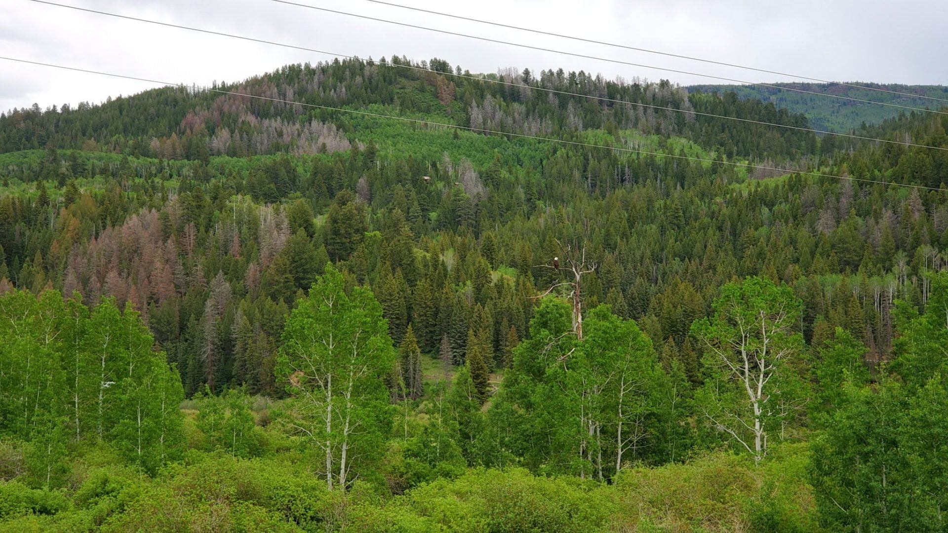
Bald Eagle on the western end of the route
Bald Eagle on the western end of the route
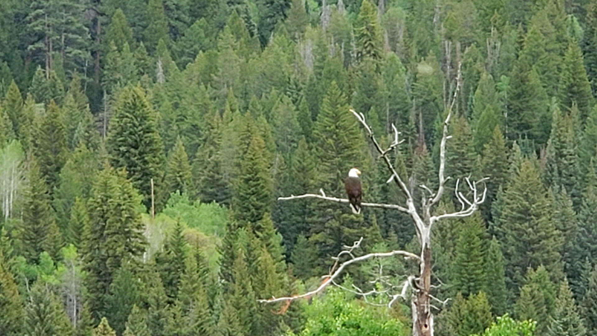
Bald Eagle on a perch in the center
Bald Eagle on a perch in the center
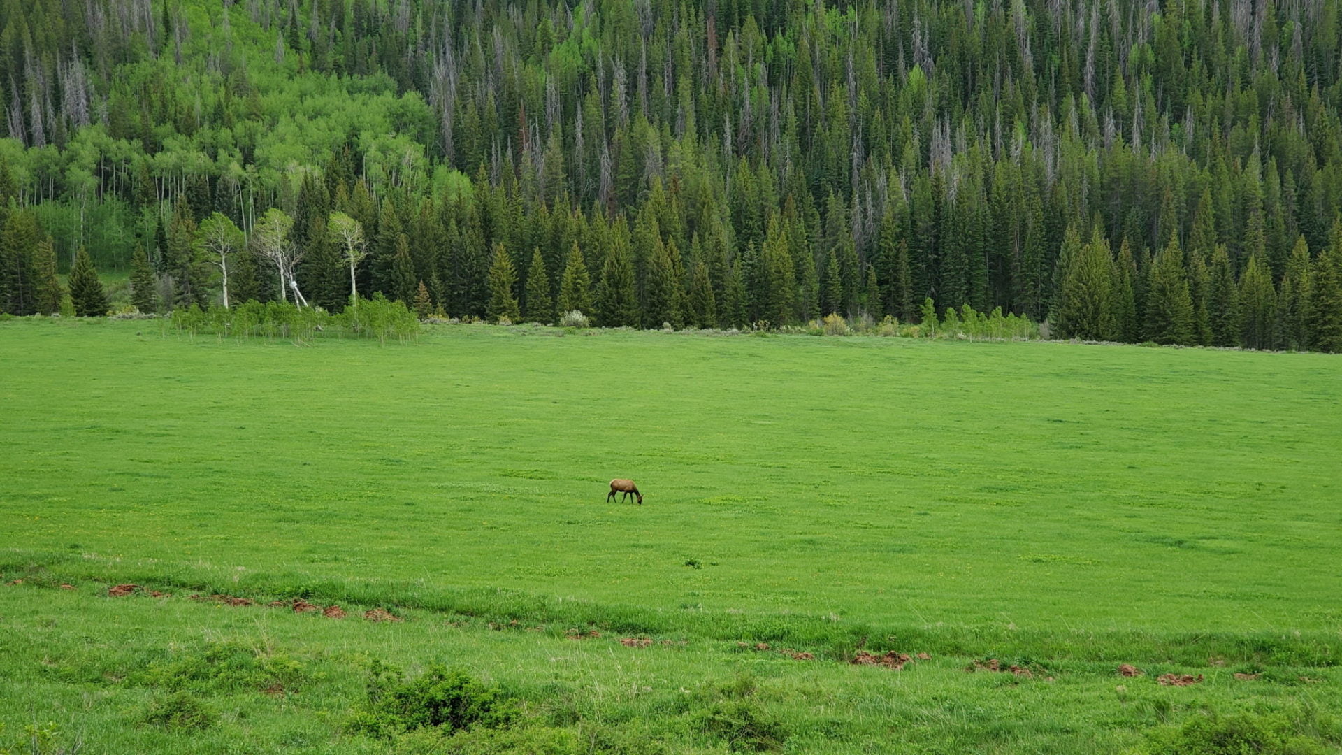
Elk in the lush western valley
Elk in the lush western valley
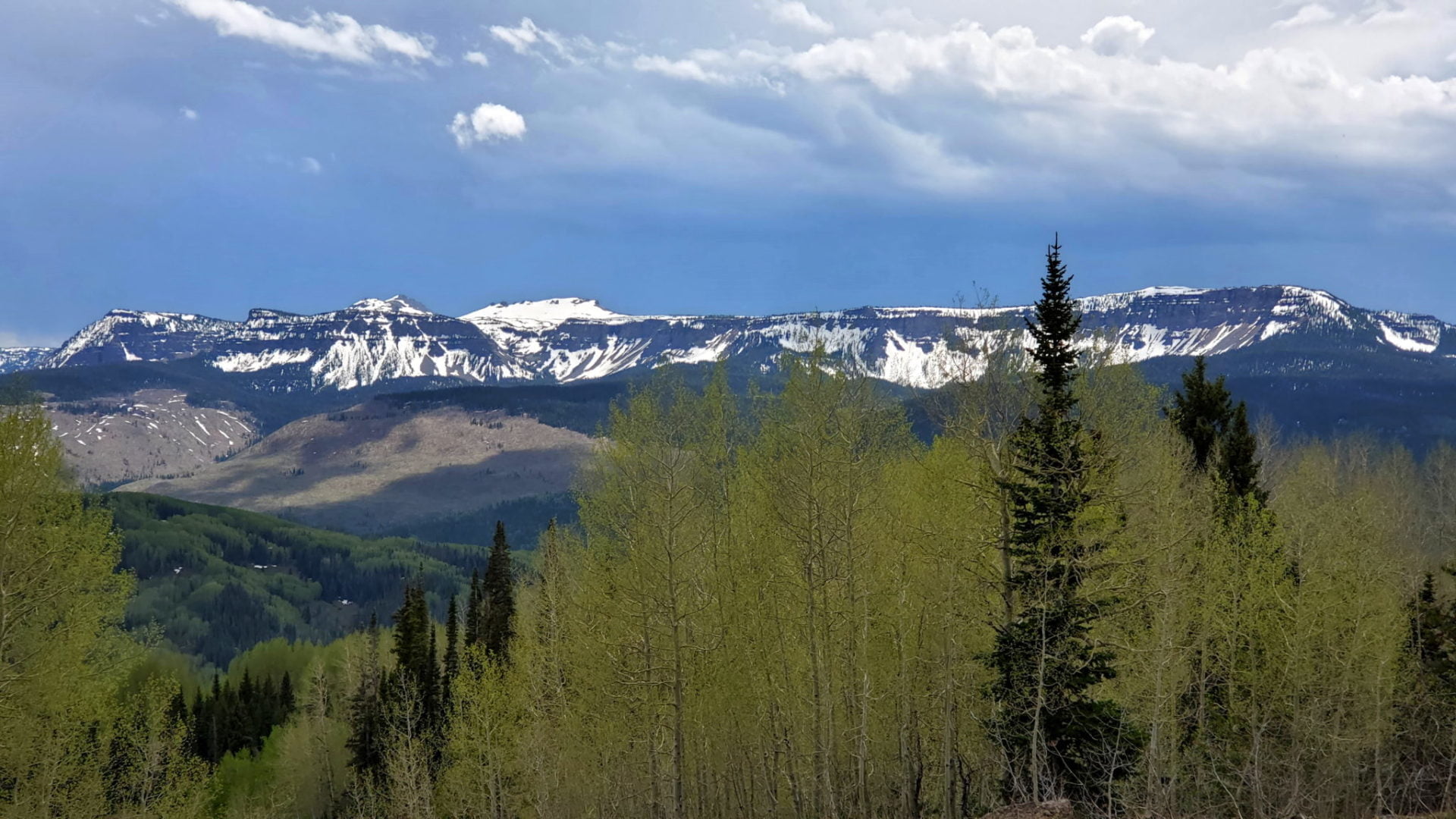
The 12,000′ Flat Tops
The 12,000′ Flat Tops

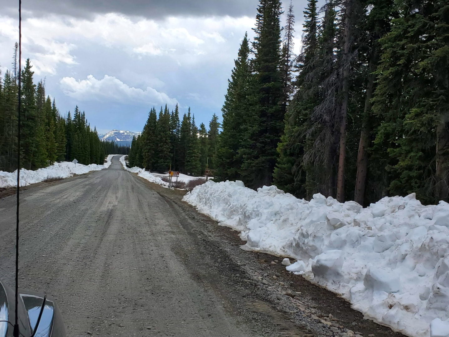
View from Ripple Creek Pass
View from Ripple Creek Pass
Dunkley Pass view
Dunkley Pass view
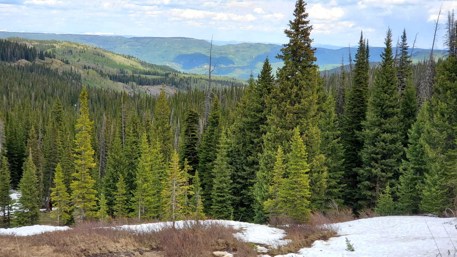
Flat Tops Wilderness looking east
Flat Tops Wilderness looking east
Looking back east
Looking back east
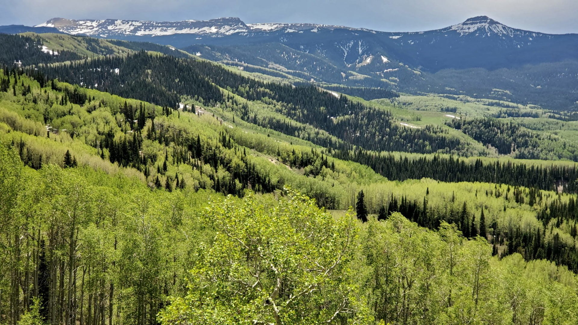
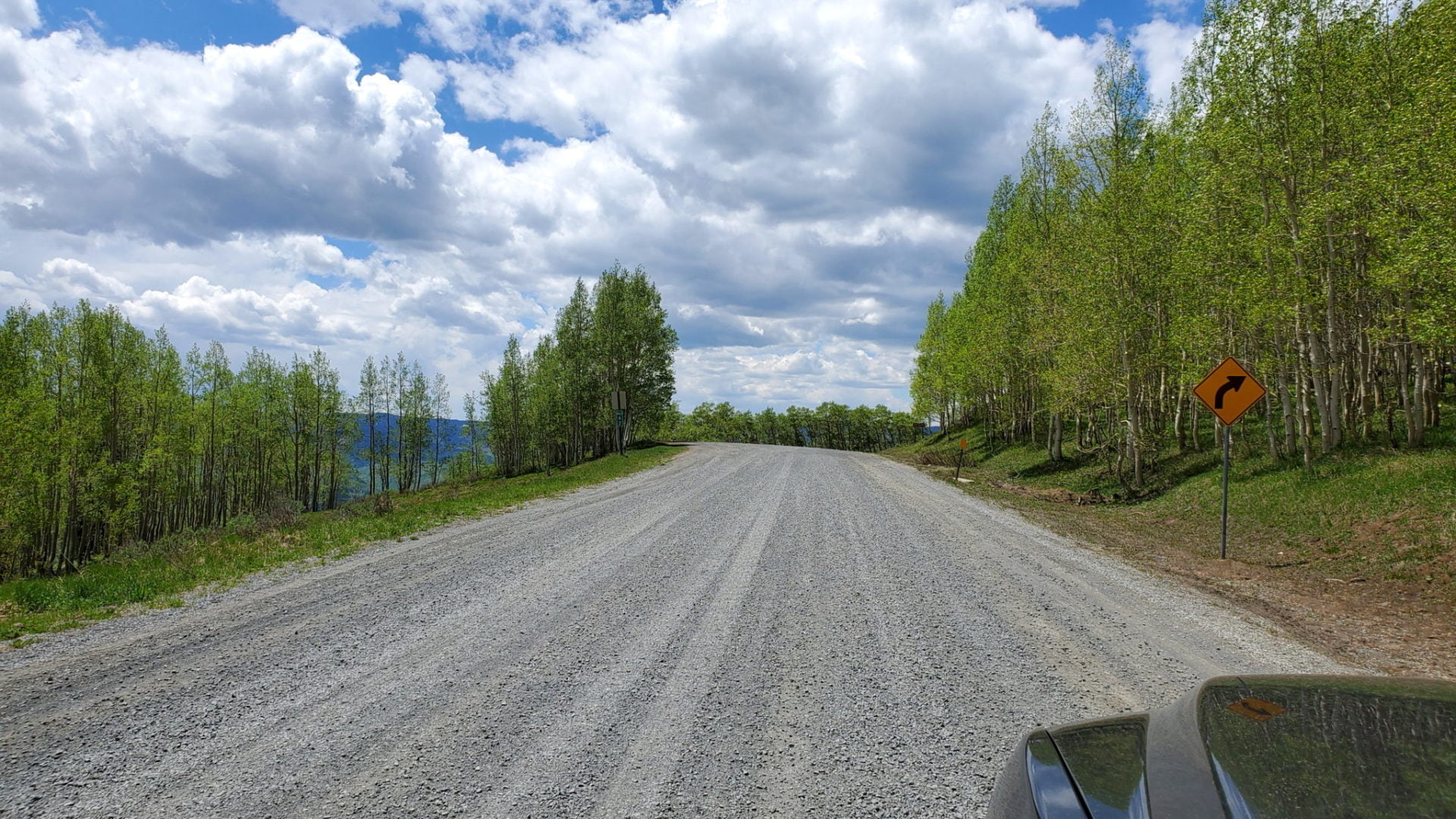
Spring in the Flat Tops
Spring in the Flat Tops
Things get green as we rise in elevation
Things get green as we rise in elevation
Cattle guard near the summit of the pass
Cattle guard near the summit of the pass
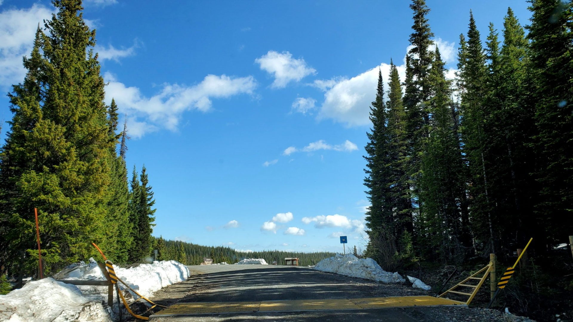
Summit of the pass
Summit of the pass
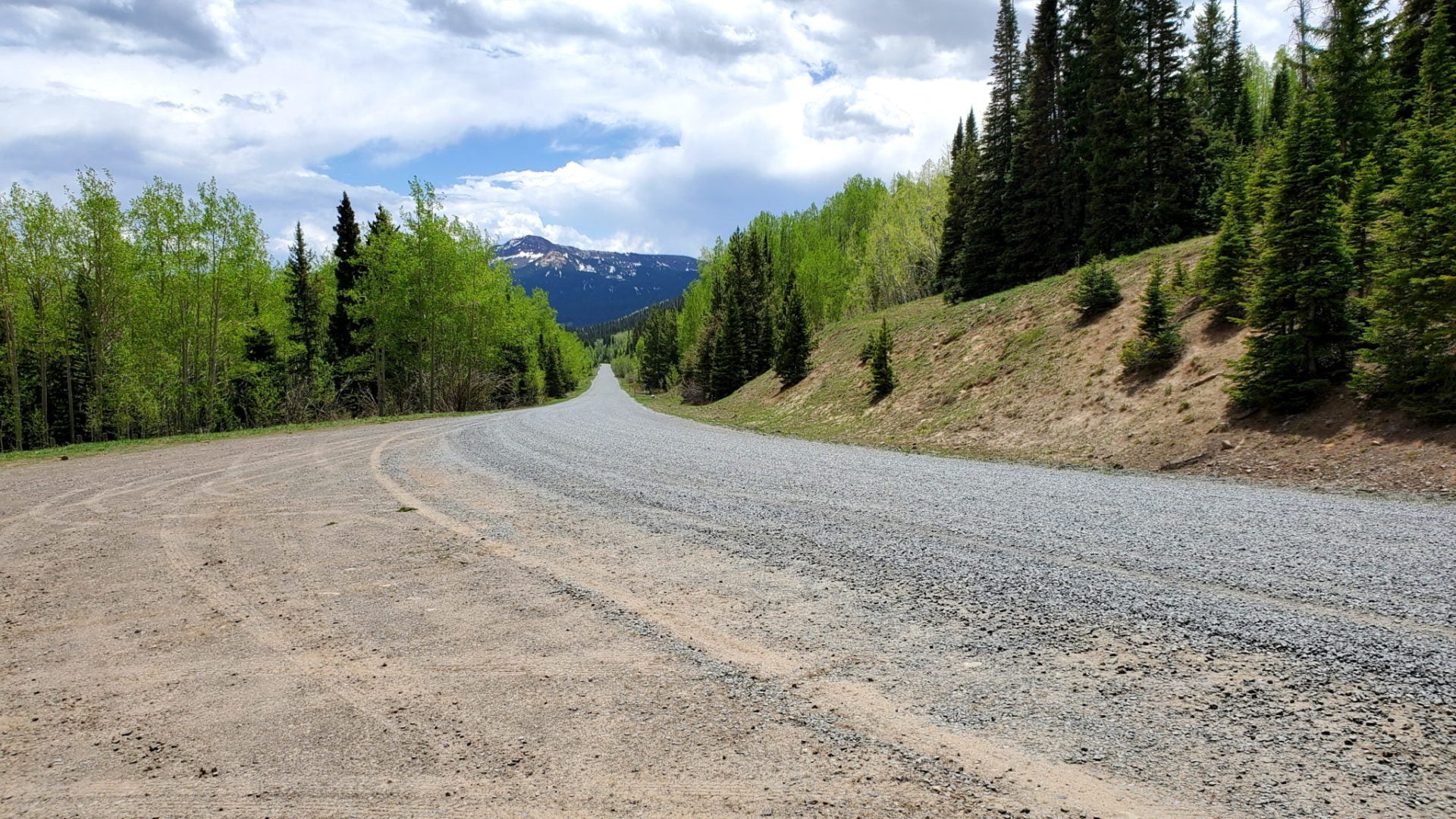
Well graded road on the east side
Well graded road on the east side
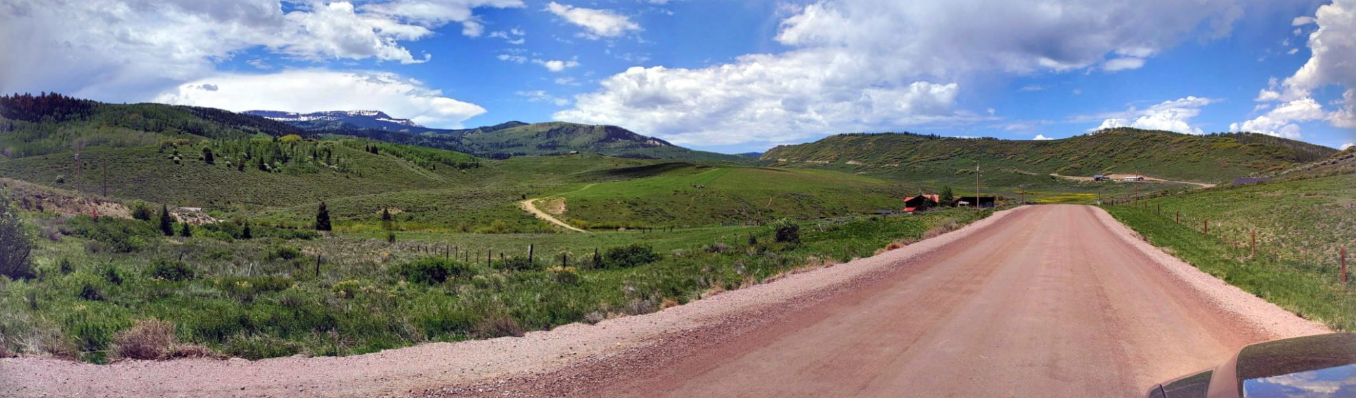
Not far from Yampa
Not far from Yampa
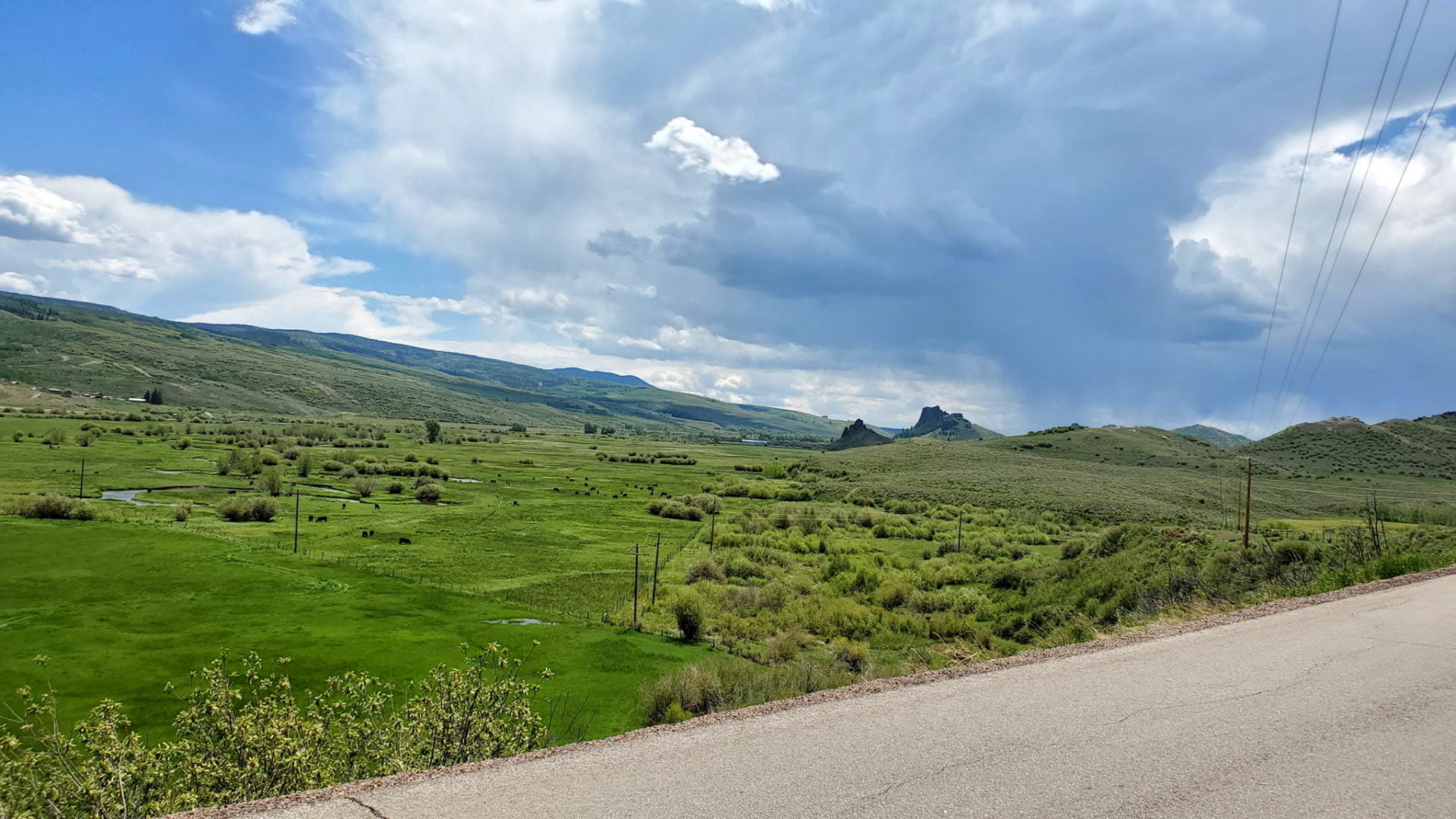
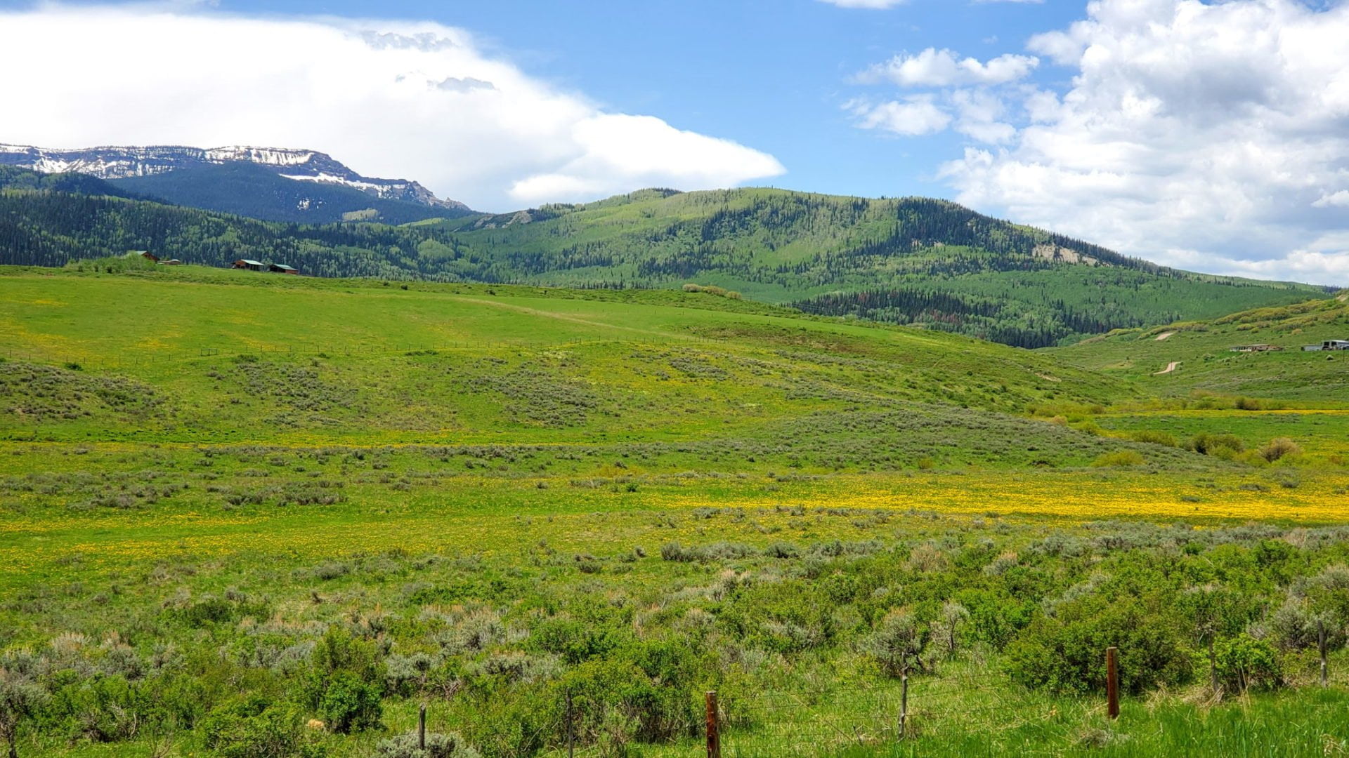
Lush valley on the west side
Lush valley on the west side
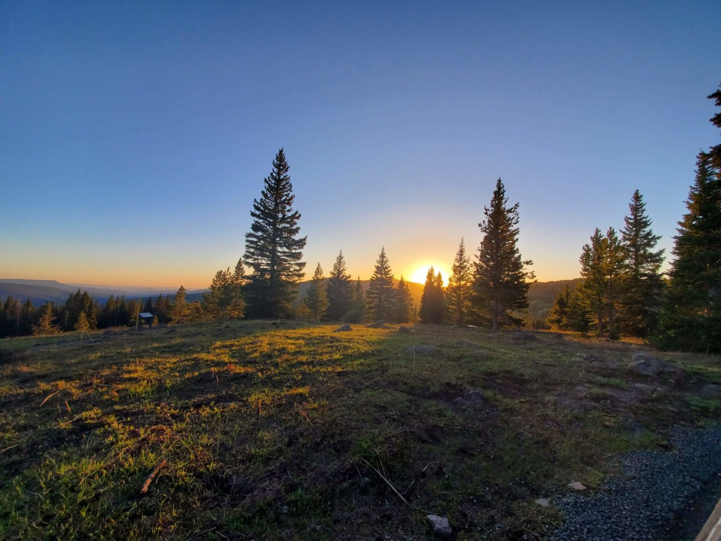
Beautiful sunset over the Flat Tops
Beautiful sunset over the Flat Tops
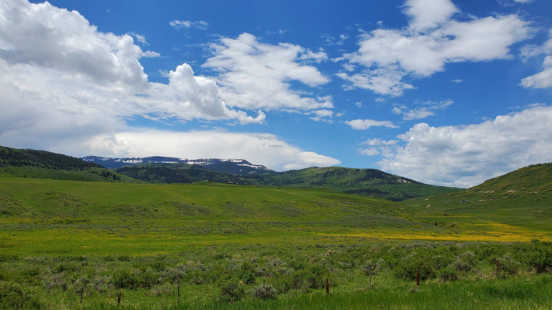
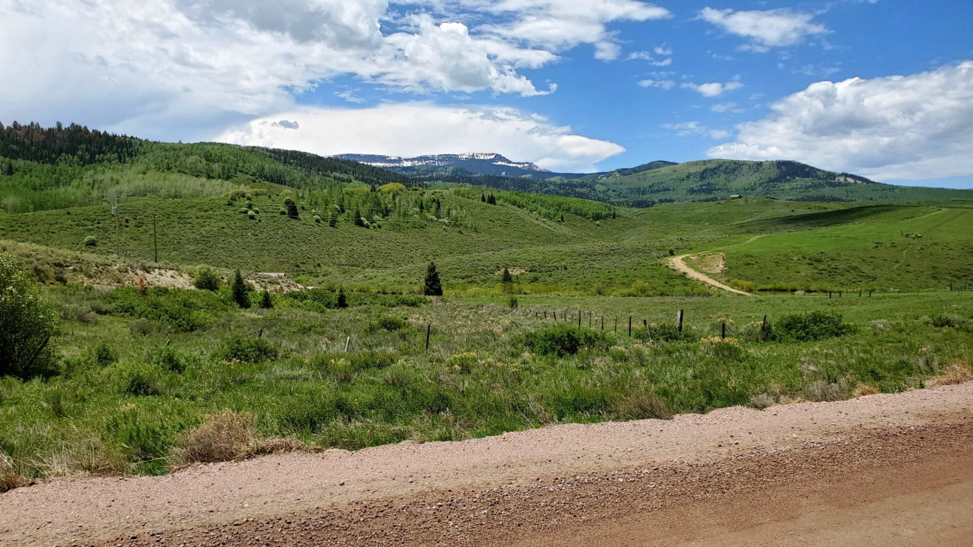
First glimpse of the Flat Tops
First glimpse of the Flat Tops
GPS Route with Elevation
Video Tour
Trail Directions
Starting from the east side in Yampa, take County Road 8 to the west.
The road soon begins to climb until you reach Dunkley Pass at 9,763′.
After descending the pass, the road begins to climb again very quickly until you reach the highest point on the byway, Ripple Creek Pass 10,343′.
Continuing west you soon reach the Trappers Lake turnoff. This marks the 1/2 point of the byway.
Soon after the Trappers Lake turnoff the road becomes paved the rest of the way to Meeker. Its a slow decent with large ranches in the lush valley.
Trailhead Directions