Greenhorn Mountain (12,352′), Wet Mountain Range
Greenhorn Mountain (12,352′), Wet Mountain Range
Greenhorn Mountain is the highest summit of the Wet Mountain range, located on the southern end of the range. Greenhorn Mountain can be seen from Colorado Springs, Pueblo, Trinidad, and also from along Interstate 25 rising over 7,000 feet (2,100 m) above the great plains to the east. The mountain range is protected within the secluded Greenhorn Mountain Wilderness Area, which has few trails, accessible for hiking or horseback only.
The seclusion of the area means driving on a dirt road for over 20 miles to reach the upper trailhead. During the summer of 2021 the road was well maintained and can be easily travelled by most stock vehicles in dry conditions.
Trail Stats
- Trailhead: Greenhorn/Bartlett
- Round trip: 5.5 miles / 8.8 km
- Elevation: 10,990′ – 12,352′ / 3,350 m – 3,765 m
- County: Pueblo
- National Forest: San Isabel
- Wilderness: Greenhorn Mountain

Trail Pictures

View from the parking lot
View from the parking lot

Morning on the Bartlett trail
Morning on the Bartlett trail
Northwest view from the summit
Northwest view from the summit

The road was closed long ago, only allowing hiking and horseback riding
The road was closed long ago, only allowing hiking and horseback riding

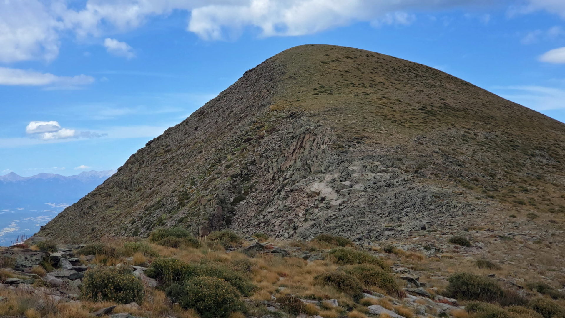
Greenhorn Mountain’s western flank
Greenhorn Mountain’s western flank

Greenhorn Mountain on the left
Greenhorn Mountain on the left

Heading up Greenhorn Mountain from the south
Heading up Greenhorn Mountain from the south

Windbreak on the summit of Greenhorn Mountain
Windbreak on the summit of Greenhorn Mountain

View of the Wet Mountain Valley
View of the Wet Mountain Valley
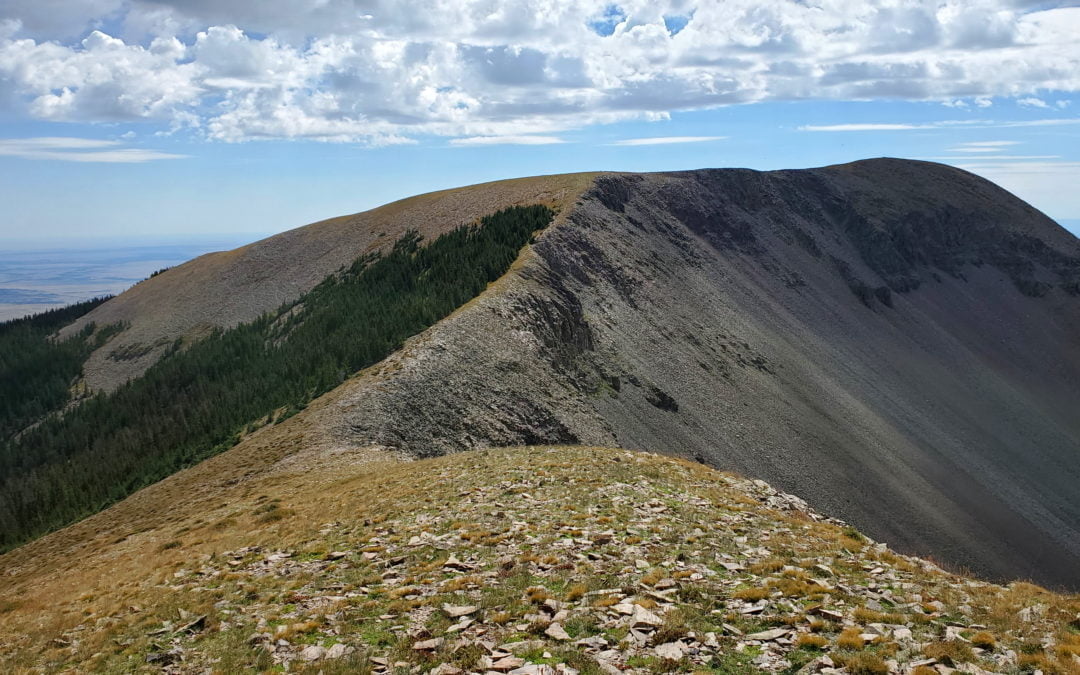
Ridgeline from Greenhorn Mountain to Unnamed Peak 12,266
Ridgeline from Greenhorn Mountain to Unnamed Peak 12,266

Greenhorn Mountain
Greenhorn Mountain

Unnamed Peak 12,266 summit
Unnamed Peak 12,266 summit

View to the north with Pikes Peak barely visible
View to the north with Pikes Peak barely visible

Heading north along the ridge
Heading north along the ridge

Looking south with the Spanish Peaks in the distance
Looking south with the Spanish Peaks in the distance
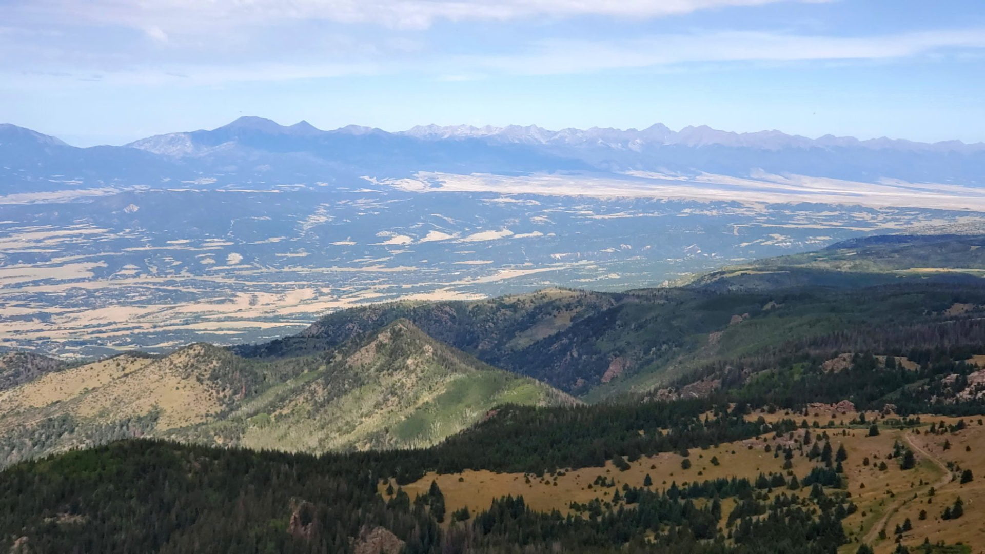
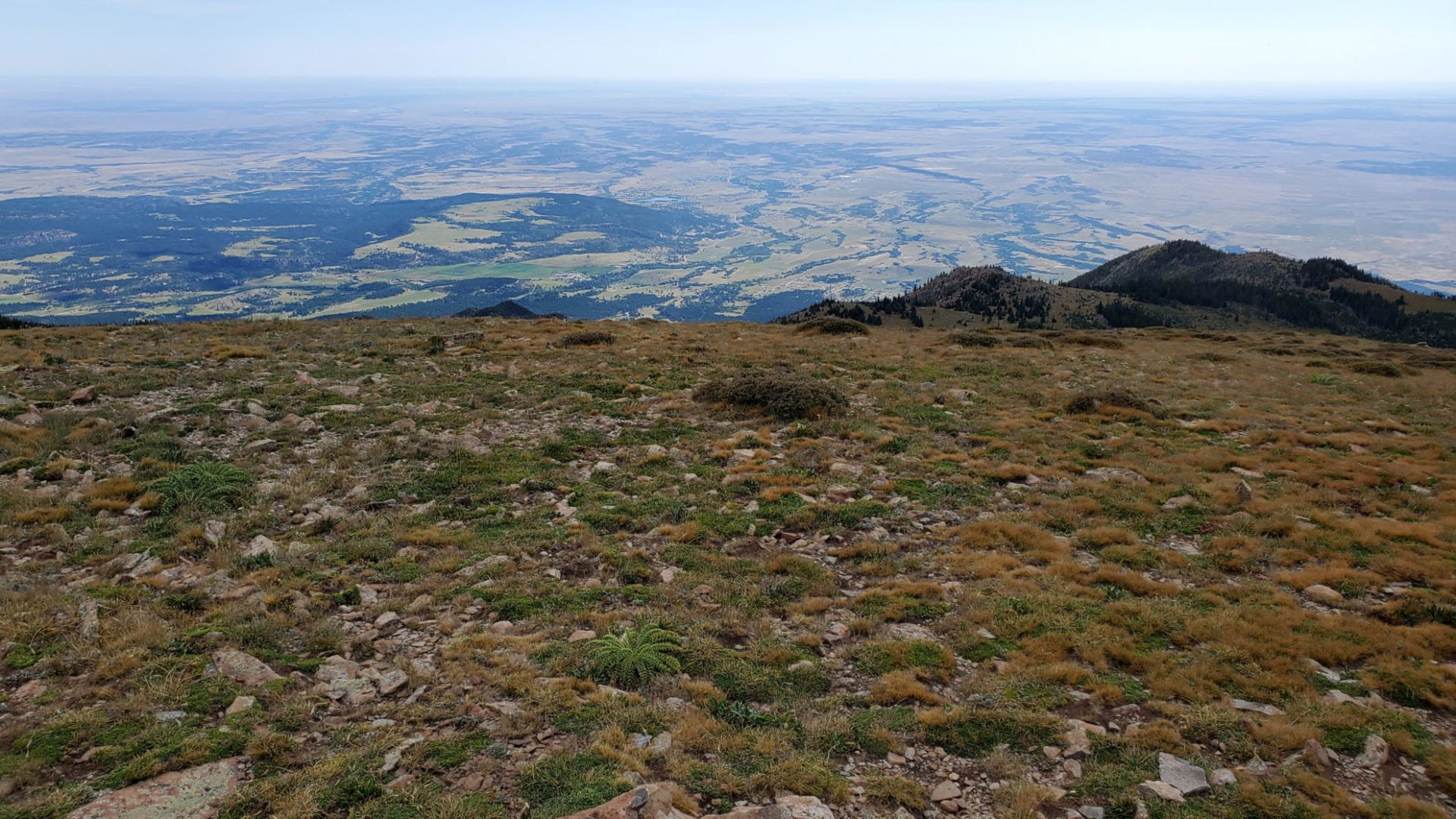
Looking east across the high plains
Looking east across the high plains

The Bartlett trail from the side of Greenhorn Mountain
The Bartlett trail from the side of Greenhorn Mountain

The Bartlett trail below winding back to the trailhead
The Bartlett trail below winding back to the trailhead

Endless views
Endless views
Heading up unnamed peak 12,661
Heading up unnamed peak 12,661
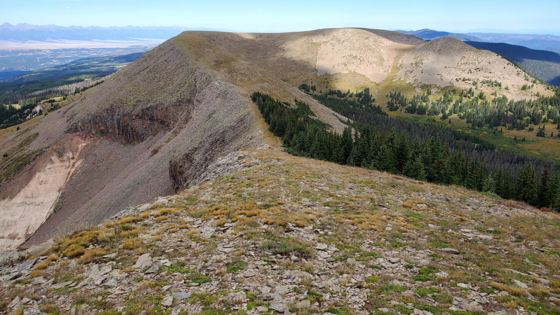
Greenhorn Mountains flat summit area
Greenhorn Mountains flat summit area

View to the south
View to the south
The two Spanish Peaks in the distance
The two Spanish Peaks in the distance

Southeastern flank of Greenhorn Mountain
Southeastern flank of Greenhorn Mountain

Heading down the saddle
Heading down the saddle

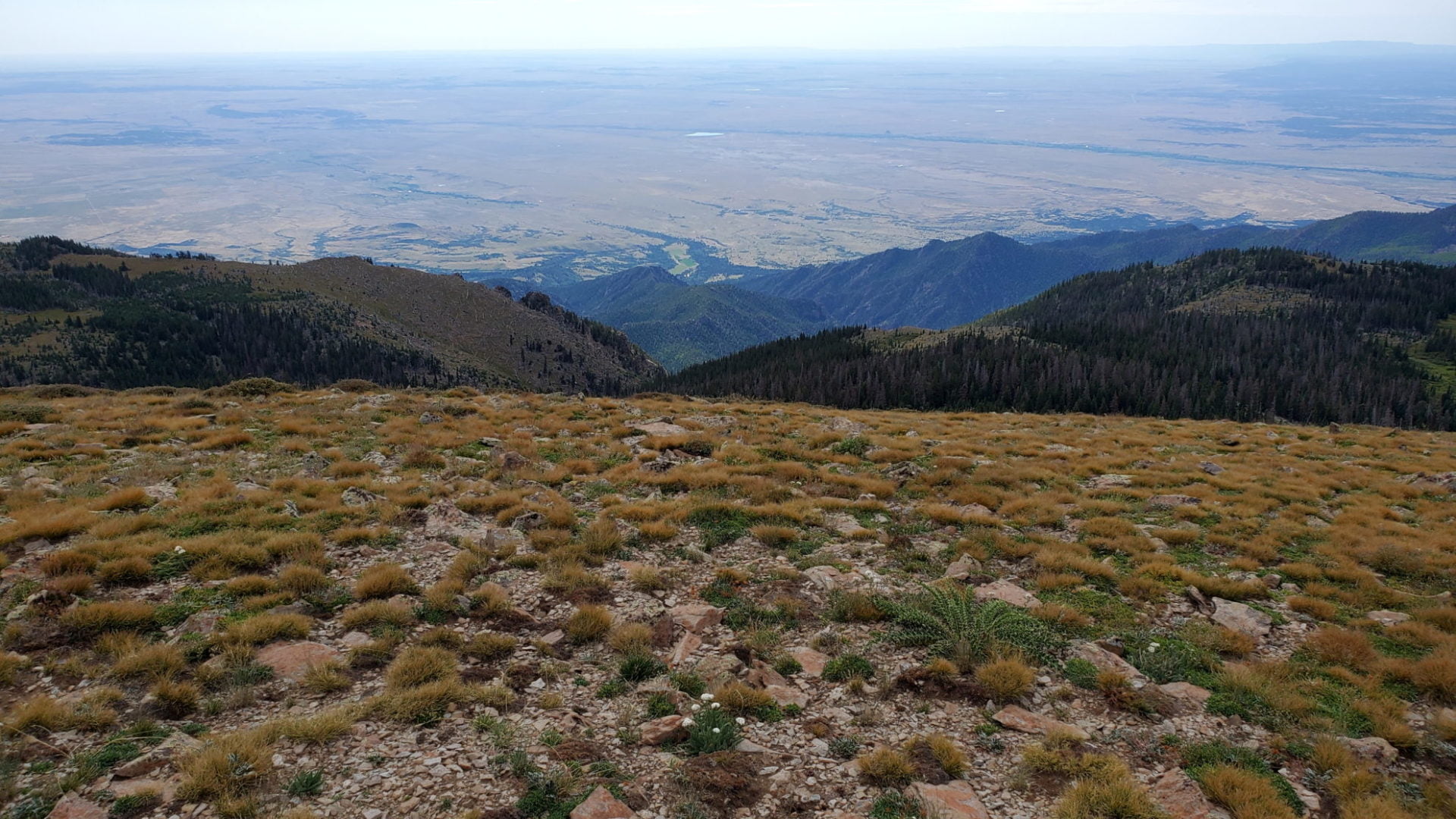
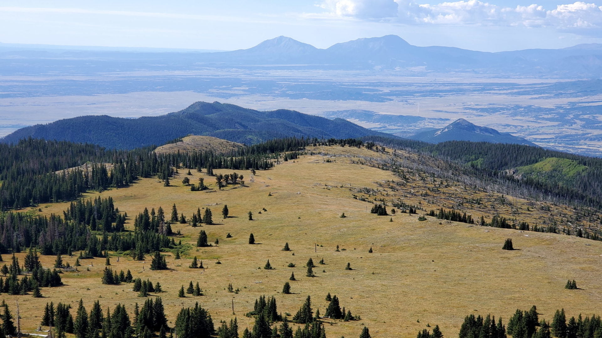
Views of the Sangre de Cristo Mountain Range across the valley
Views of the Sangre de Cristo Mountain Range across the valley
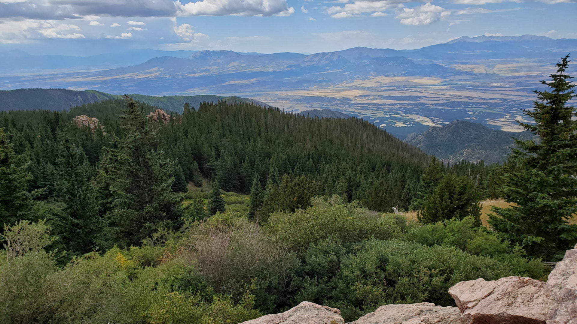
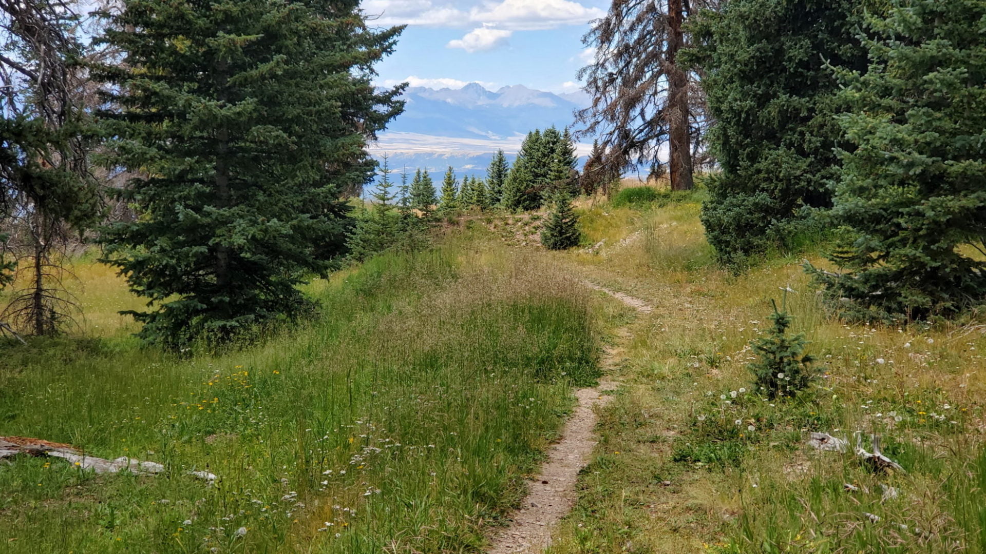
Looking west from the trail
Looking west from the trail
An easy trail through spectacular scenery
An easy trail through spectacular scenery

View west from the trail
View west from the trail

The road near the trailhead
The road near the trailhead
GPS Route with Elevation
Video Tour
Trail Directions
From the upper trailhead I made a loop that includes both the south and north summits. If you choose to hike the loop counterclockwise like I did, head southeast along the Bartlett Trail for a little over a mile. As the trail begins to wrap around the Greenhorn Mountain summit cone, leave the trail on the southern side of the mountain, and continue a half-mile climb to the summit. Note: There is no trail to the summit.
From the summit, you can retrace your route back to the trailhead if wind and bad weather are a problem. If the day is clear, a more scenic option is to traverse the easy ridge heading north. To return to the trailhead, I decended off the second saddle, down the west slope of the ridge back to the Bartlett trail close to the trailhead.
Trailhead Directions