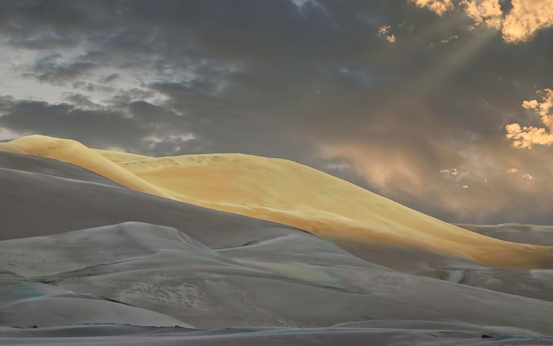
Star Dune (8,617′), Great Sand Dunes N.P.
Star Dune (8,617′), Great Sand Dunes N.P.
The Great Sand Dunes National Park in Colorado is home to the tallest sand dunes in North America, reaching heights of up to 750 feet at Star Dune. Some interesting facts about Star Dune:
1. The Star Dune is the tallest dune in the park, standing at a height of 755 feet. It is also one of the tallest sand dunes in the world.
2. The shape of the Star Dune is unique, with arms radiating out from the center like a star. This shape is caused by the wind patterns in the area, which come from different directions at different times.
3. The Star Dune is constantly changing shape due to the wind. It can move up to 50 feet per year, and its arms can grow or shrink depending on the wind direction.
4. The sand that makes up the Star Dune is made of quartz and feldspar, and was brought to the area by the Rio Grande River and its tributaries.
5. The Star Dune is not the only dune in the park with a unique shape. High Dune, for example, has a distinctive crescent shape, while the dunes in the northeast section of the park have a “starburst” pattern.
6. Climbing the Star Dune is a popular activity for visitors to the park. It can be a challenging climb, however, as the sand is constantly shifting and can make footing difficult. Visitors are encouraged to wear appropriate footwear and to bring plenty of water.
7. The Great Sand Dunes National Park is also home to a variety of plant and animal species, including several that are found nowhere else in the world. Some of these include the Great Sand Dunes tiger beetle, the Piñon mouse, and the sandhill crane.
8. The park is also an important archaeological site, with evidence of human habitation dating back over 11,000 years. The Ute and Apache people were among the first to live in the area.
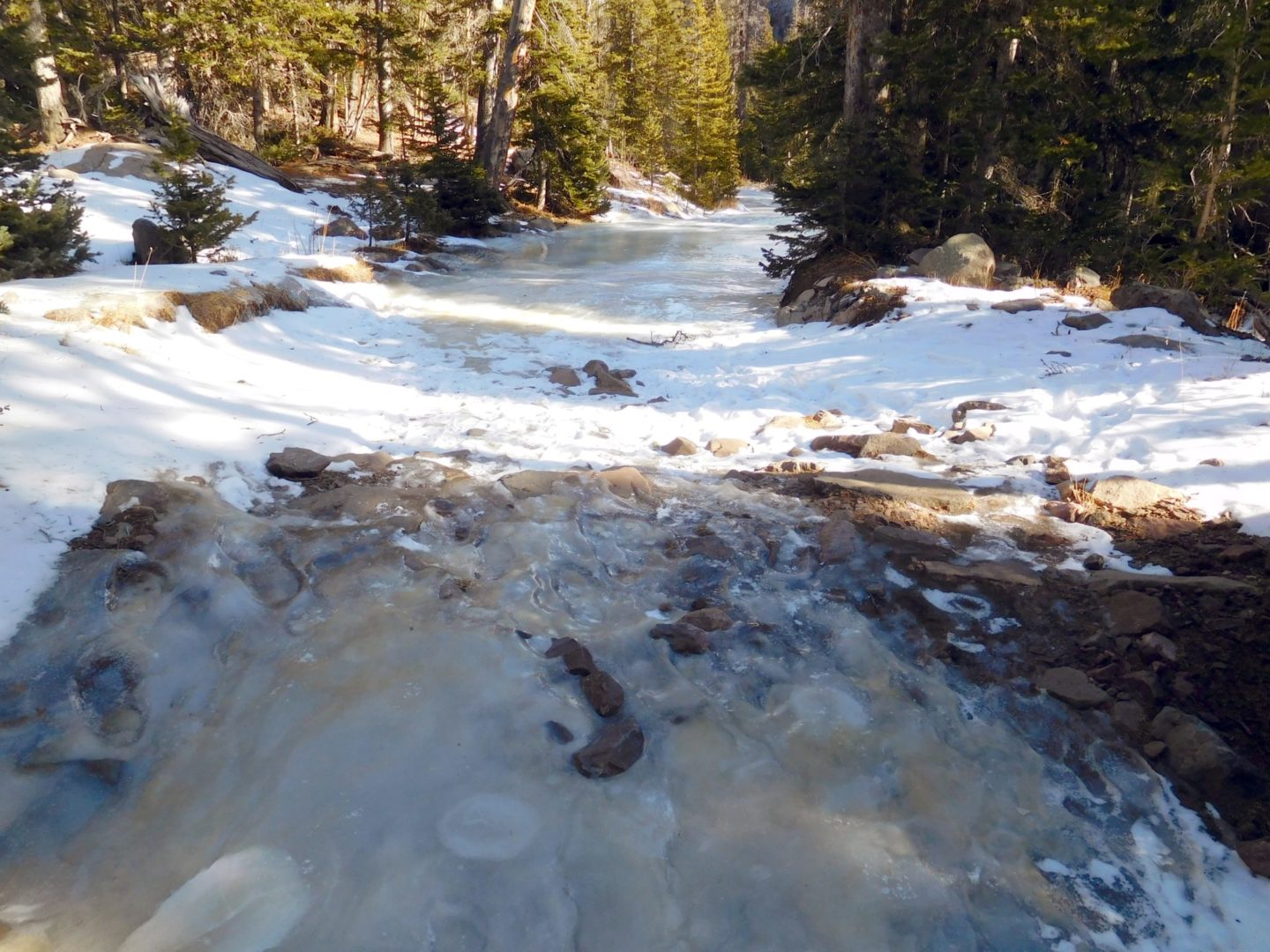
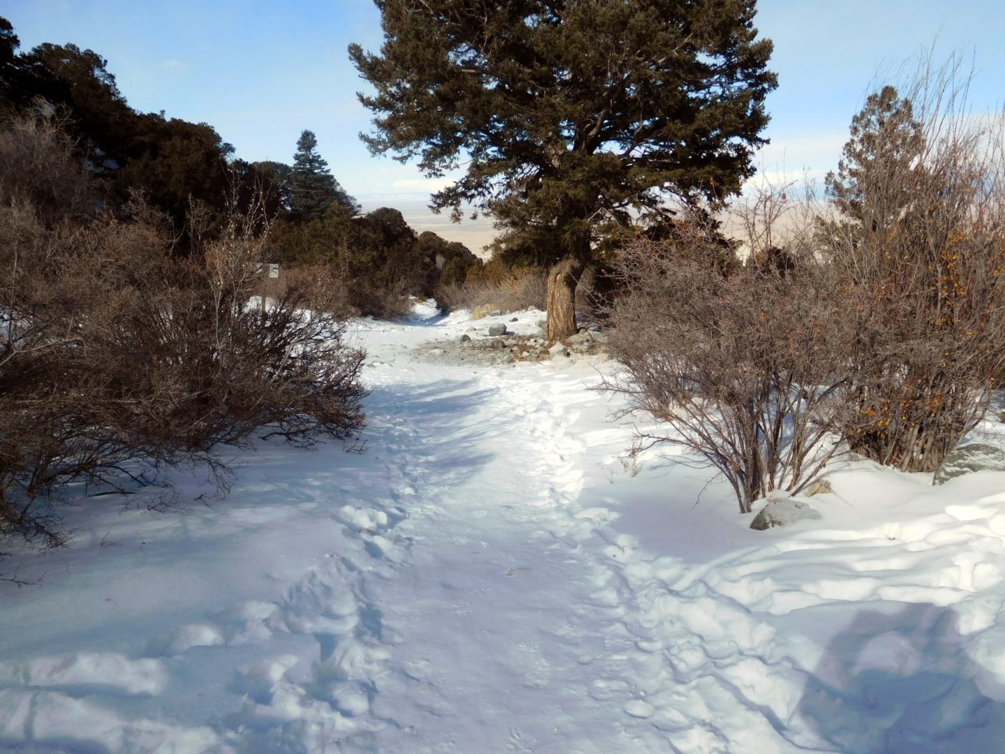
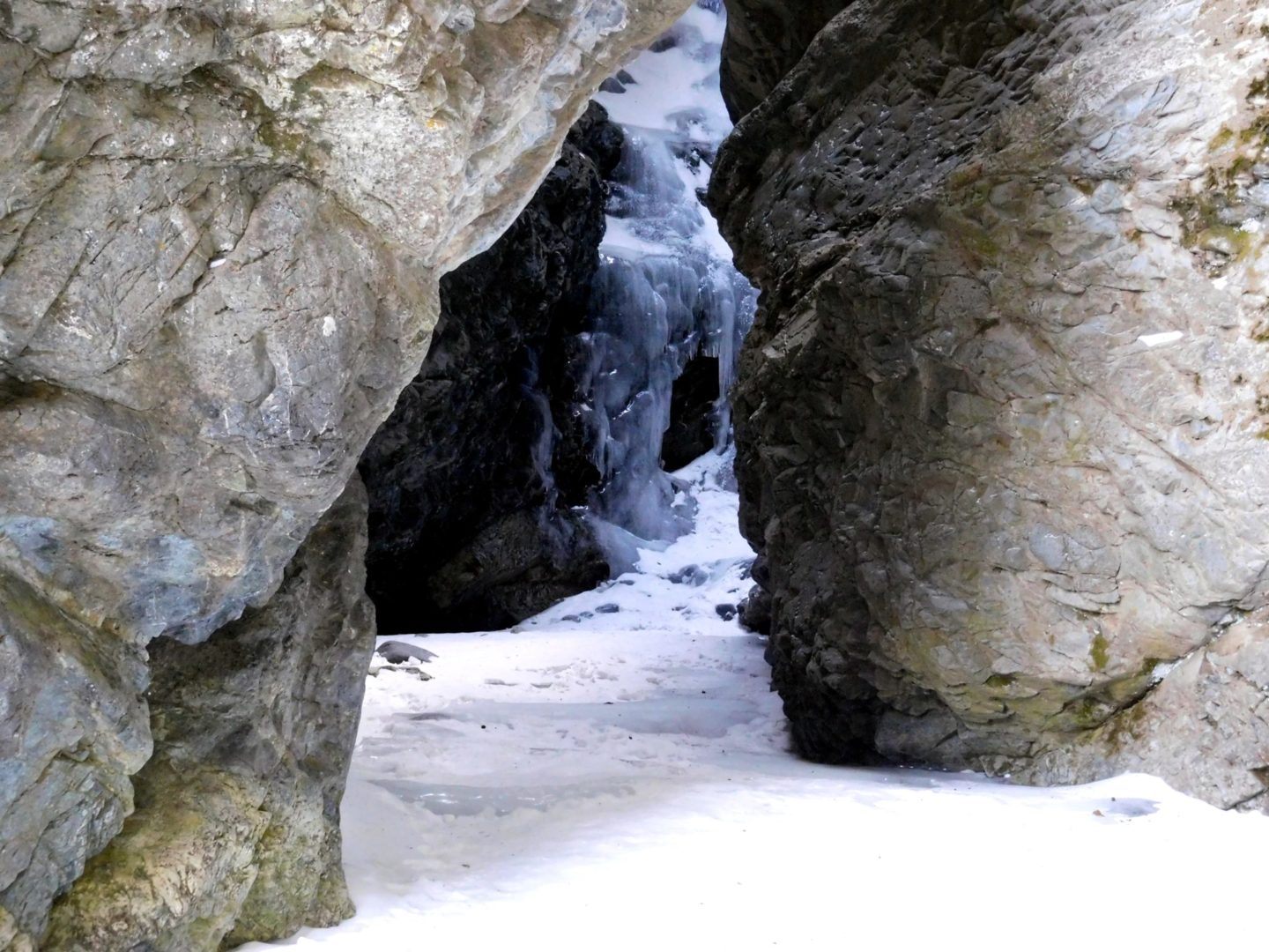
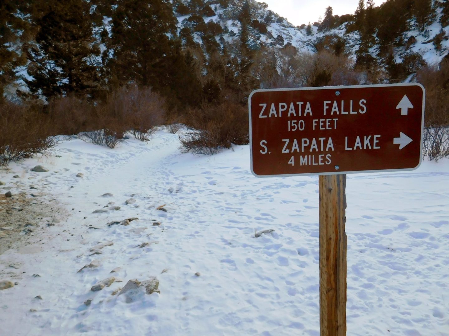
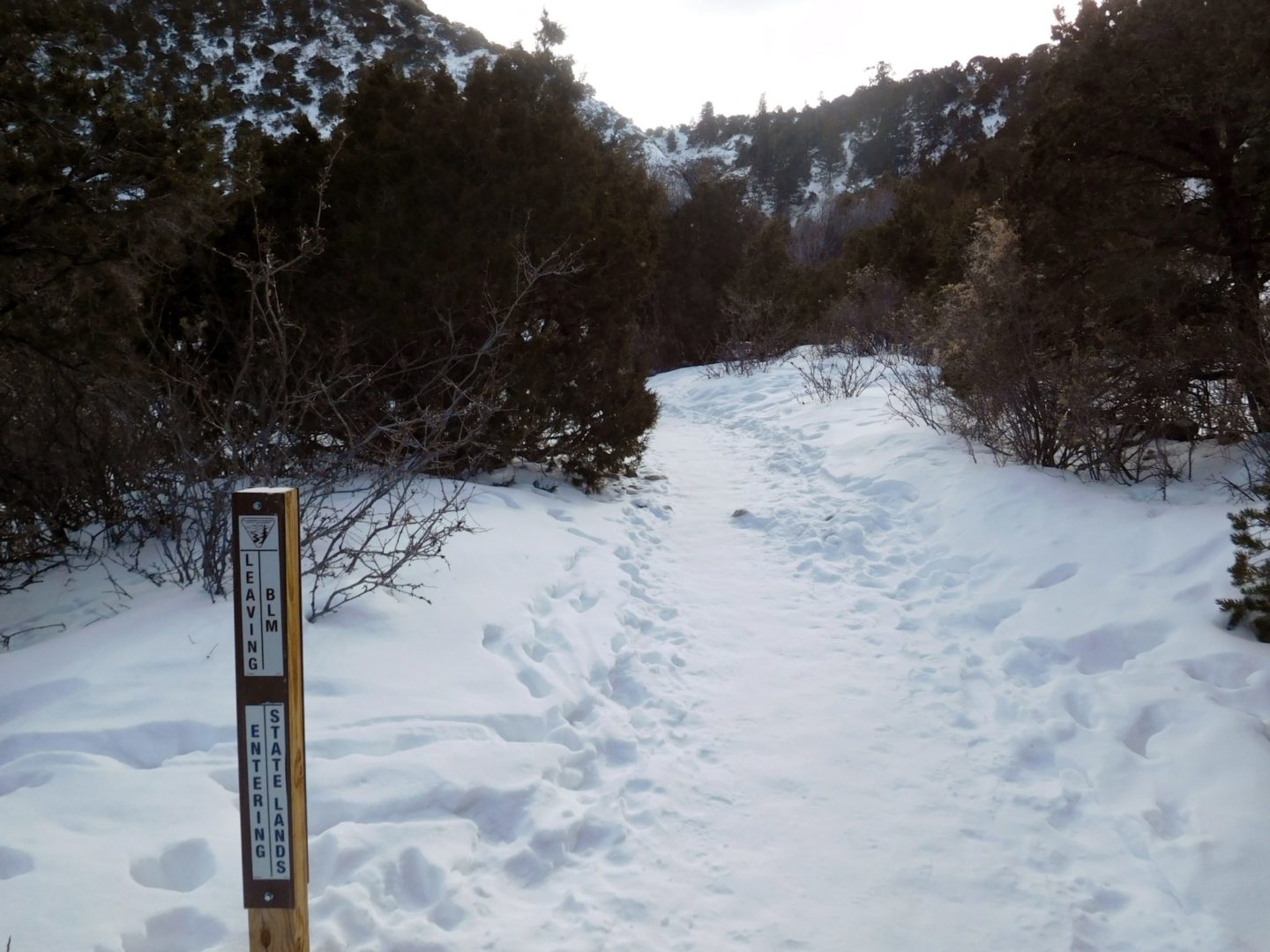
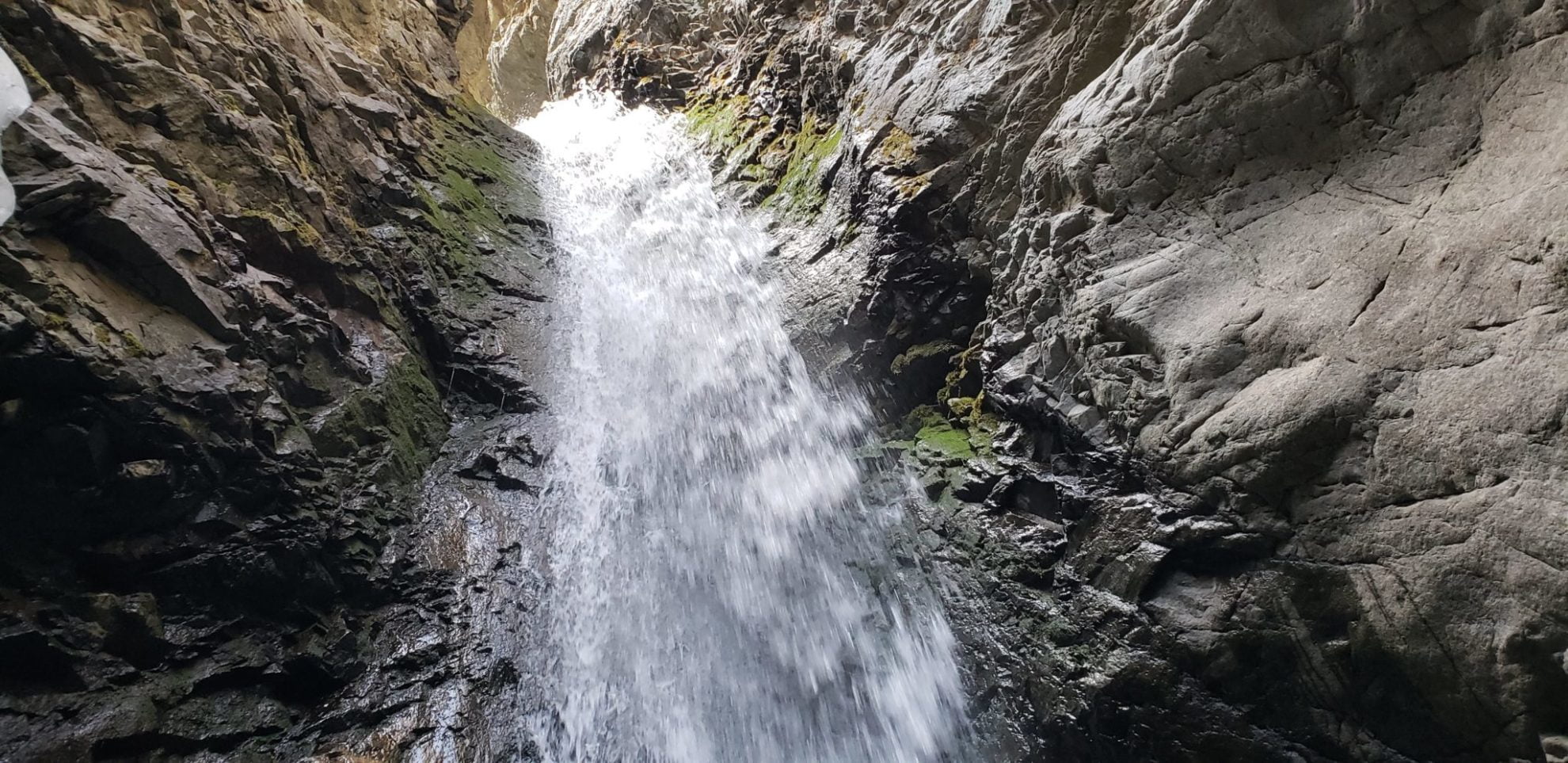
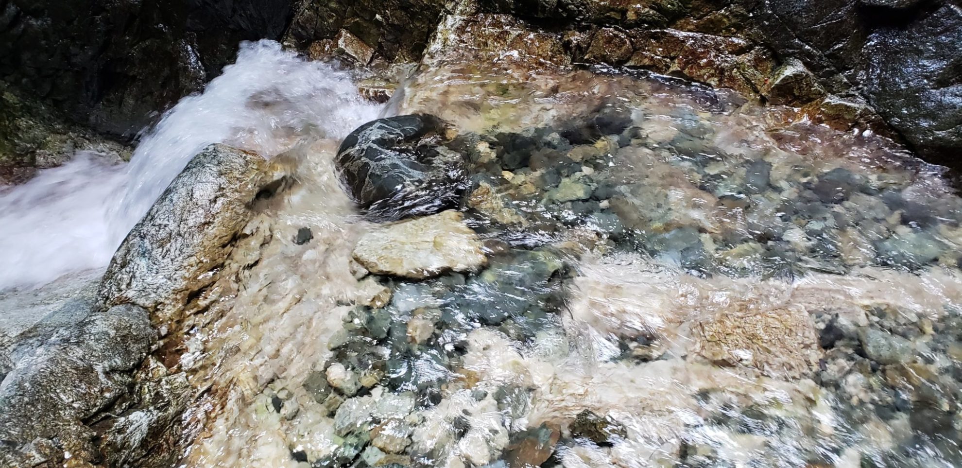
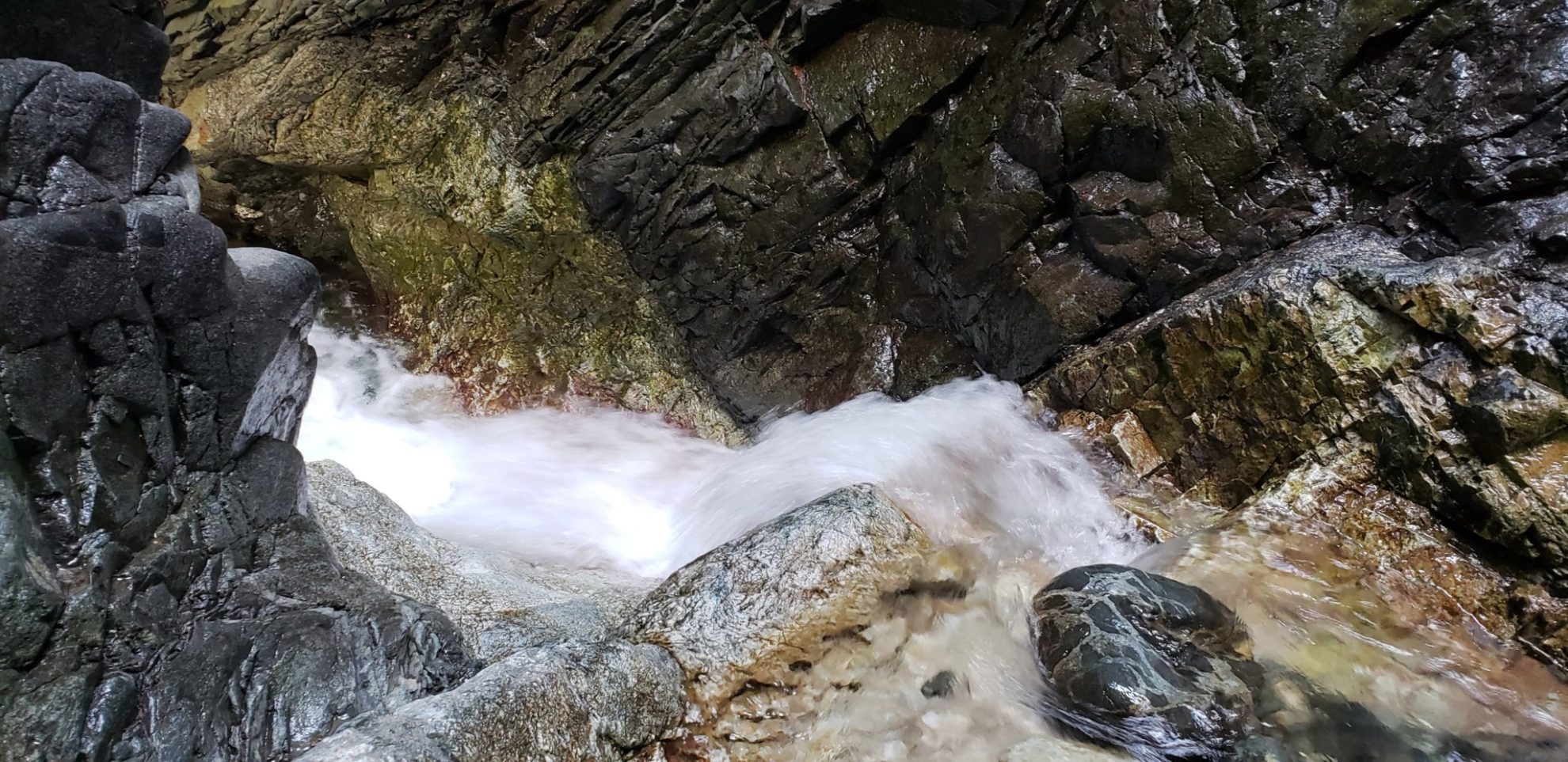
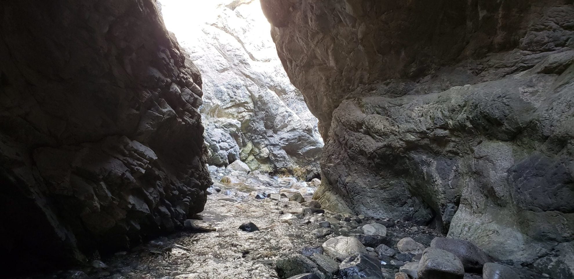
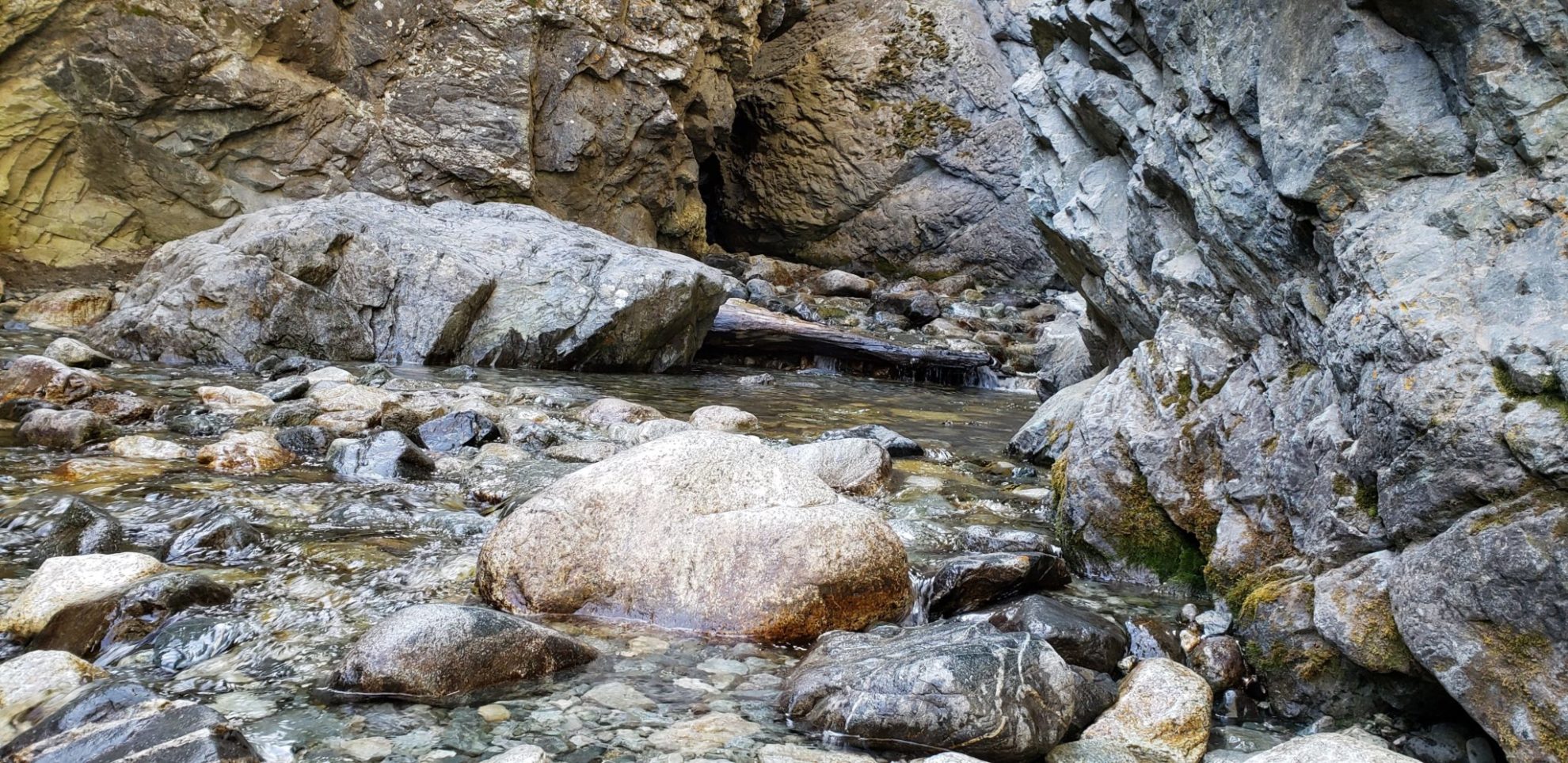
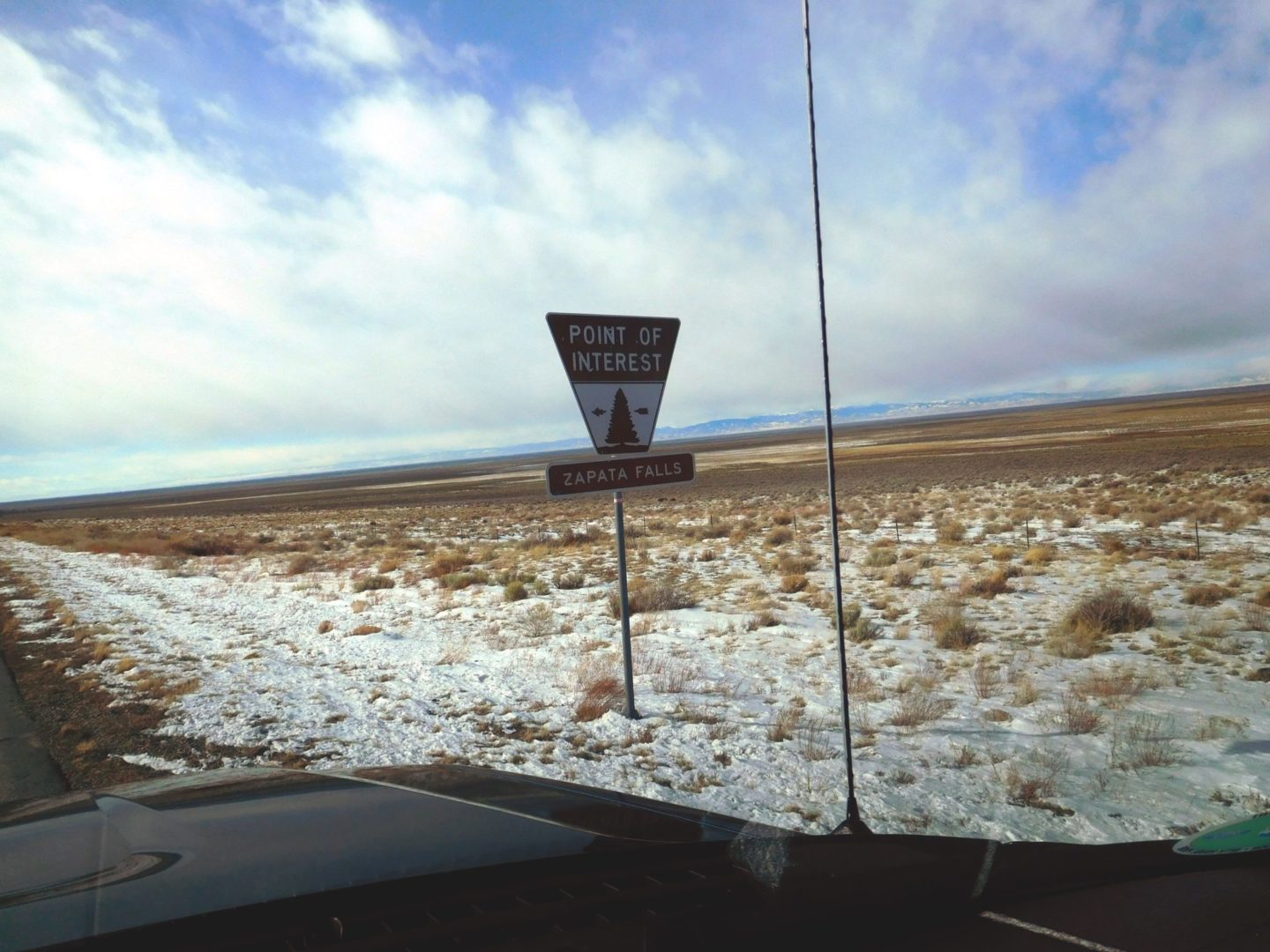
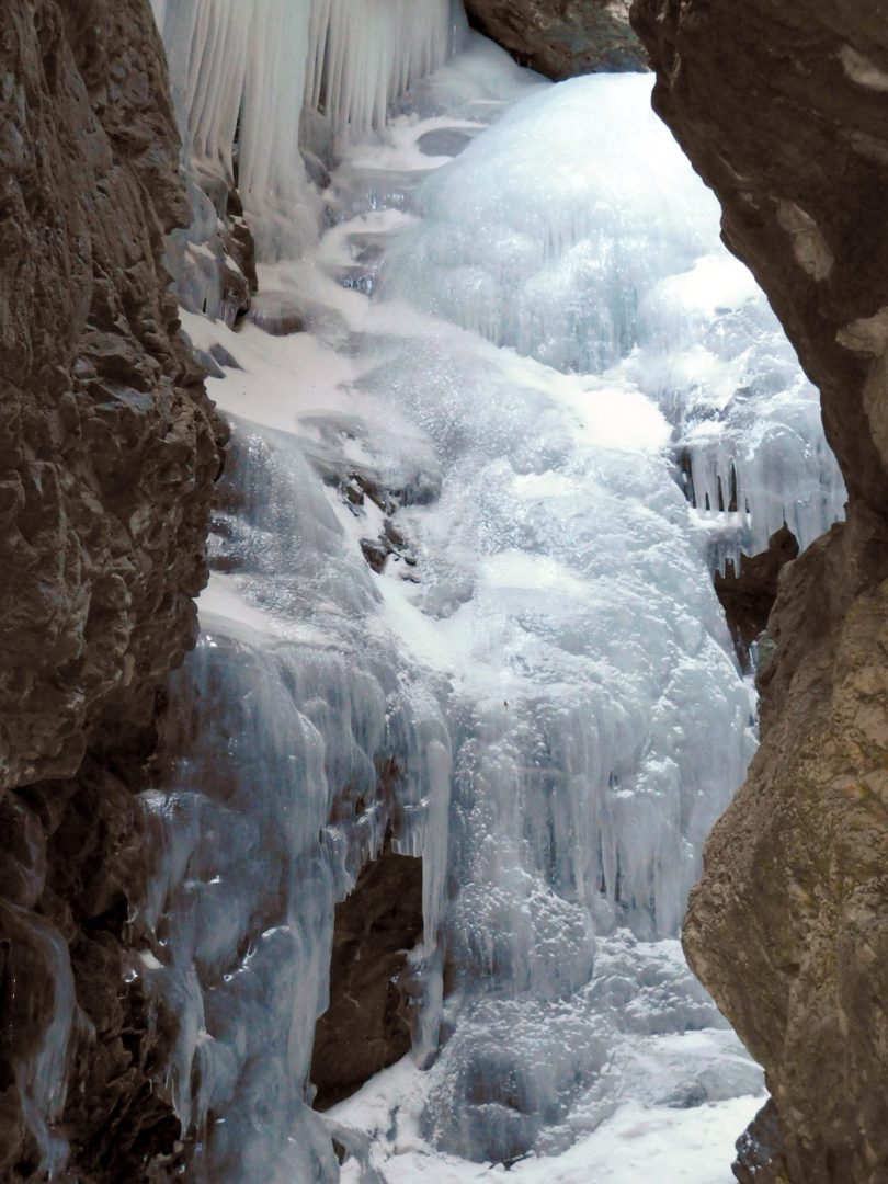
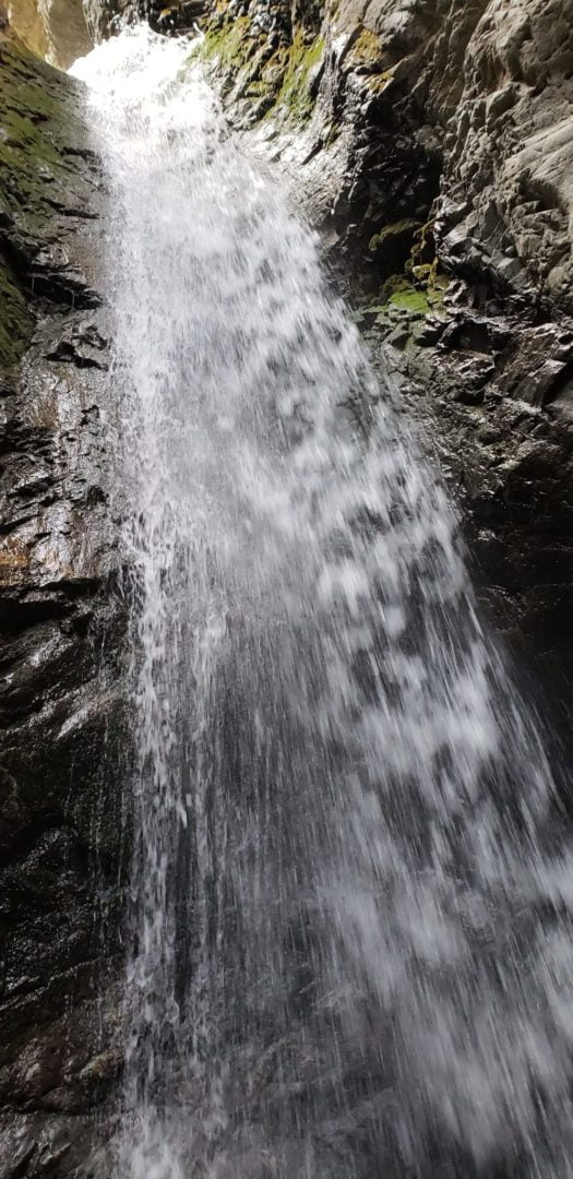
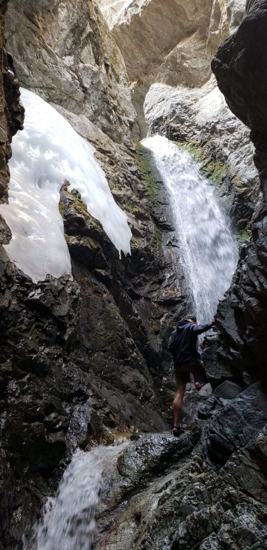
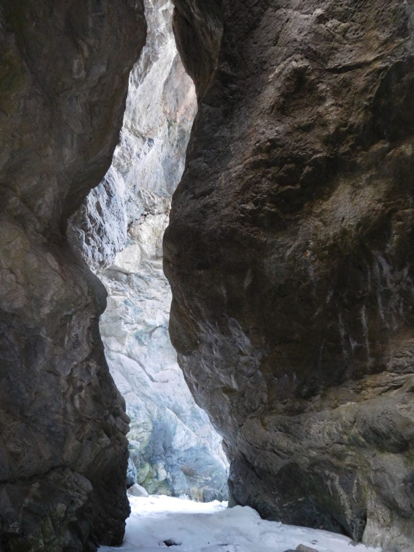
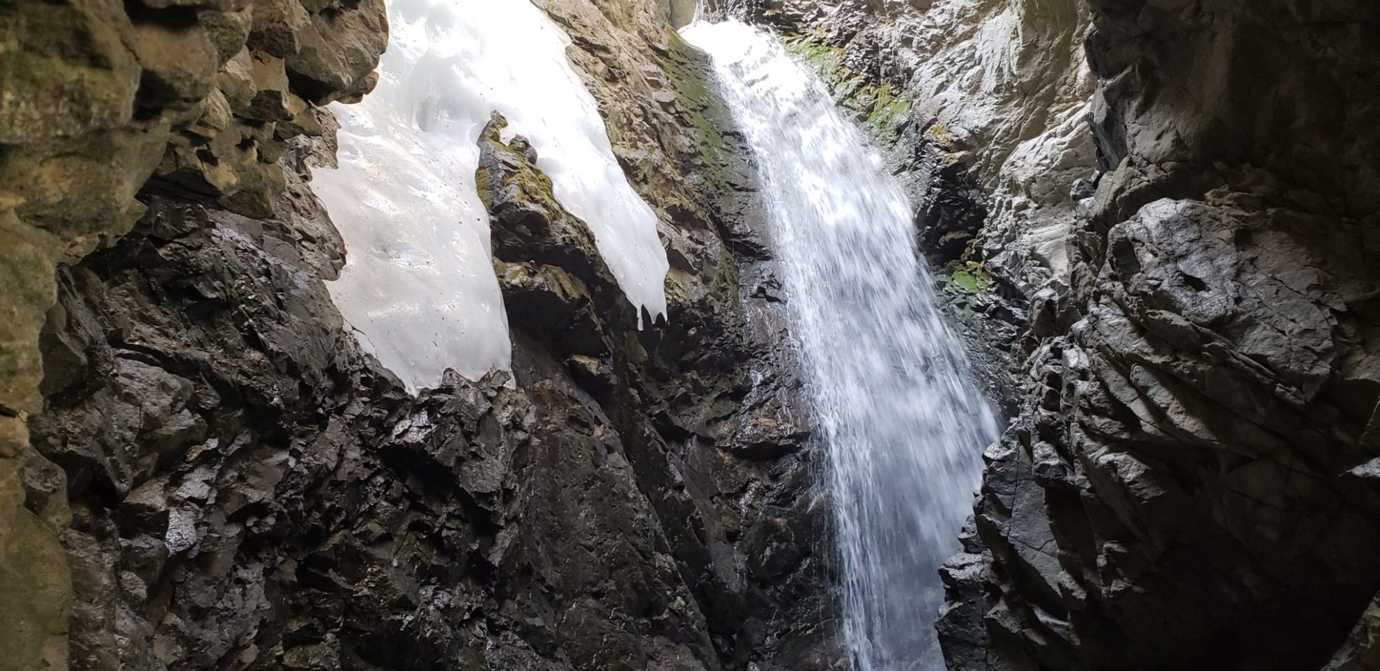
Another interesting natural feature is Zapata Falls, located just outside the park.
Trail Stats
- Trailhead: Dunes Trailhead
- Round trip: 7 miles (11.3 km)
- Elevation: 7,856′- 8,617′ (2,395 m – 2,627 m)
- County: Alamosa
- National Park: The Great Sand Dunes National Park and Preserve

Trail Pictures

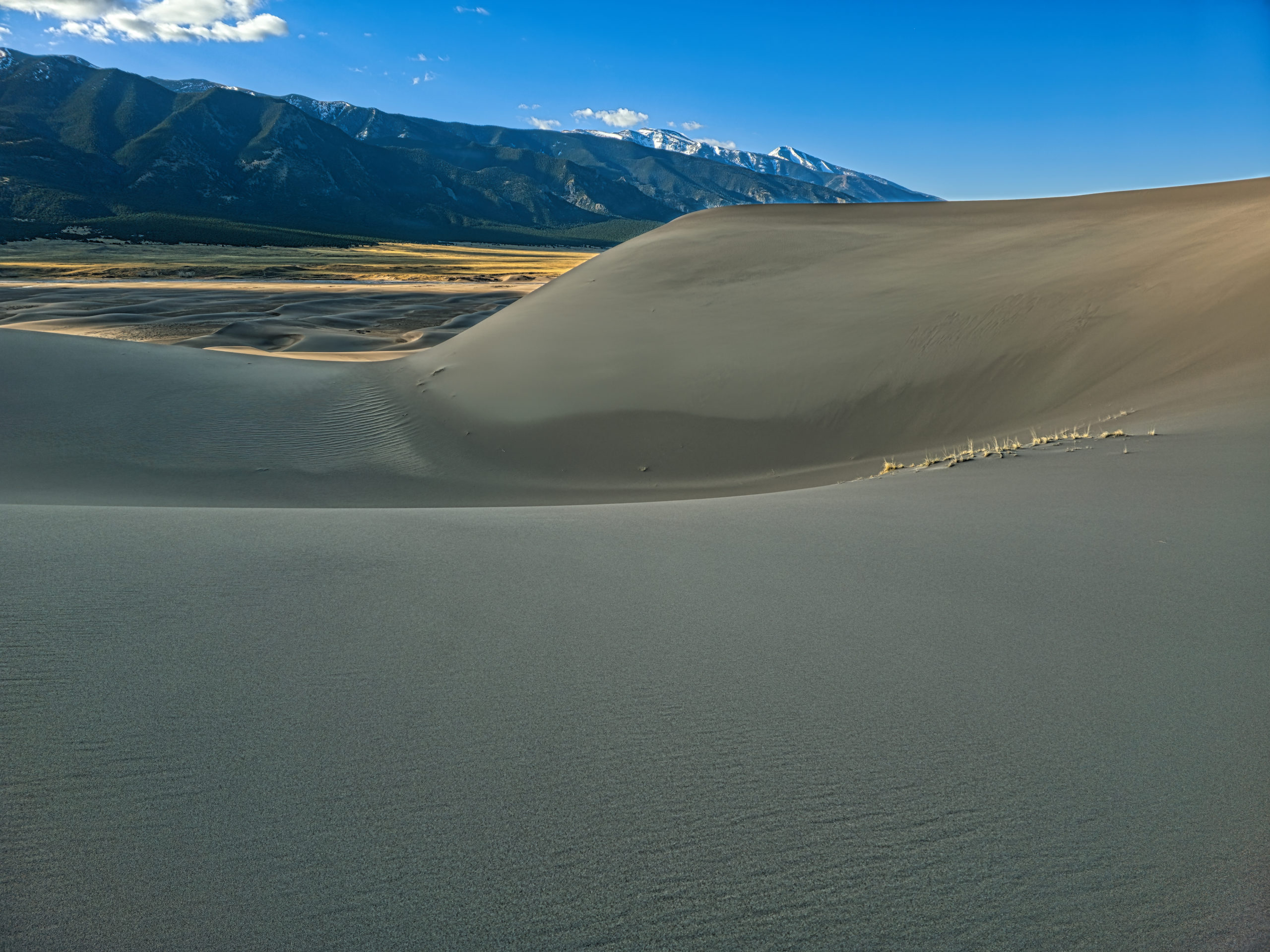
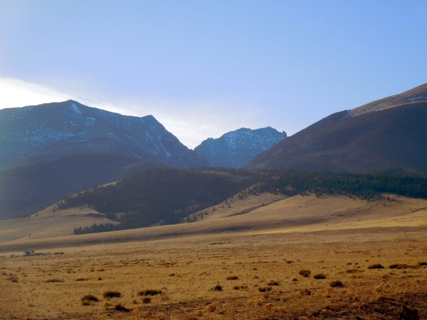
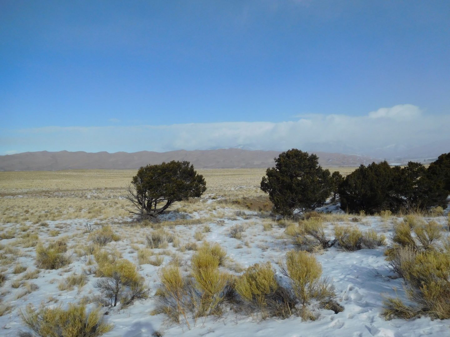
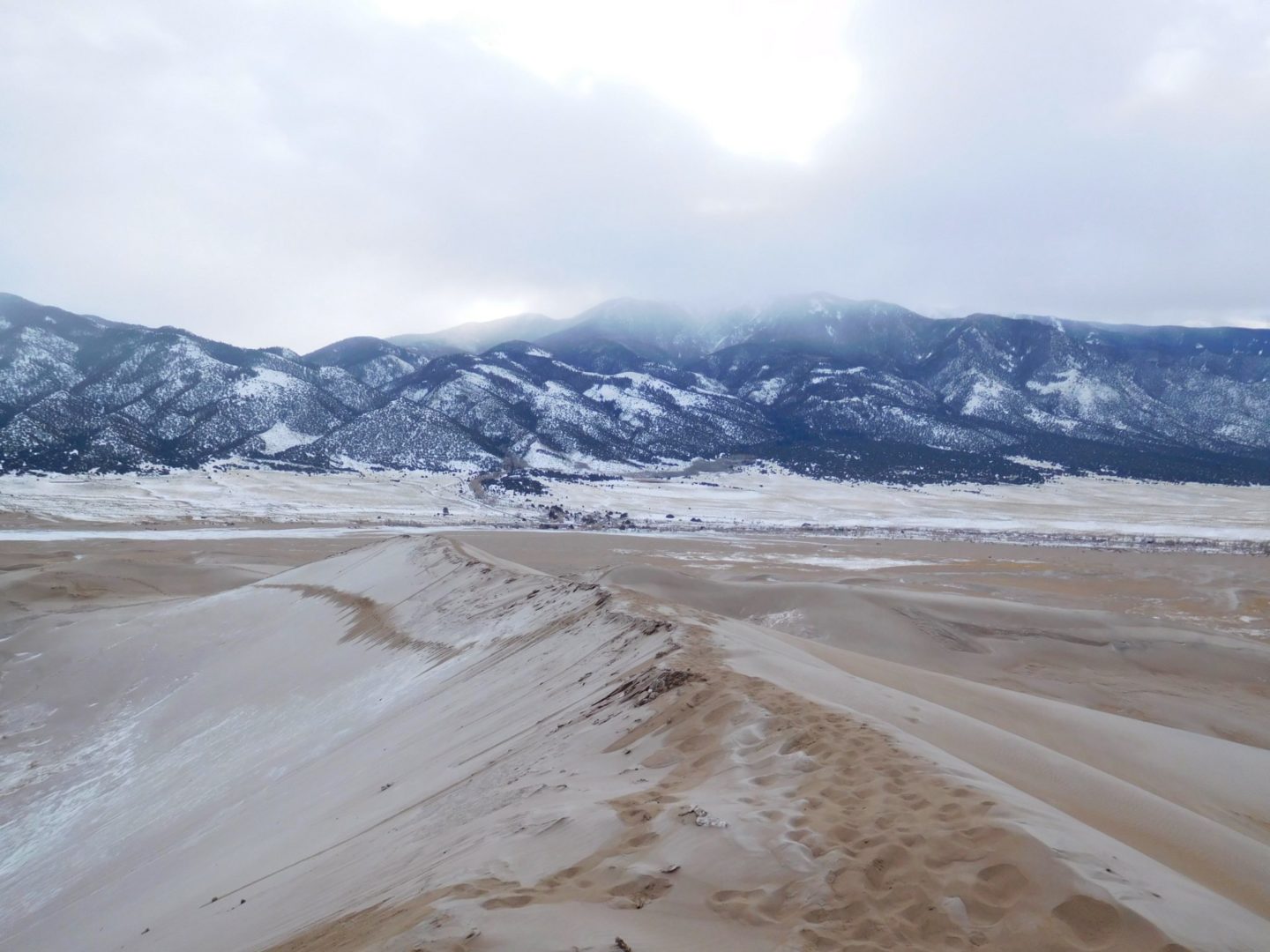
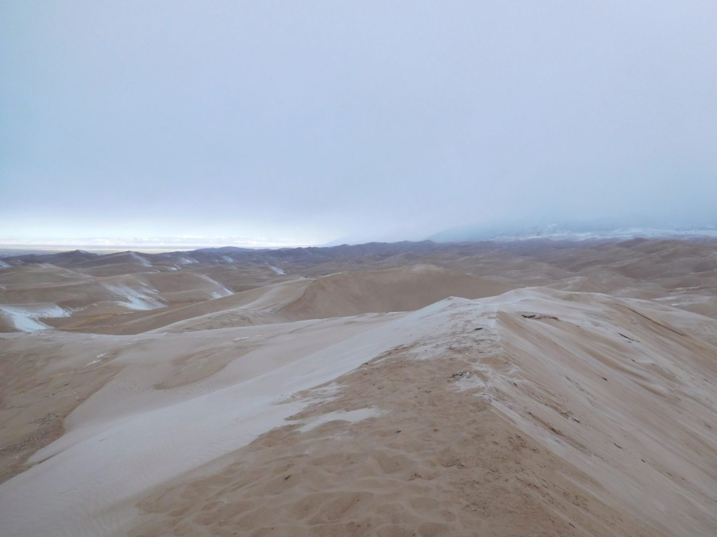
Great Sand Dunes NP in the early morning
Great Sand Dunes NP in the early morning

Medano Creek flowing at the base of the sand dunes.
Medano Creek flowing at the base of the sand dunes.

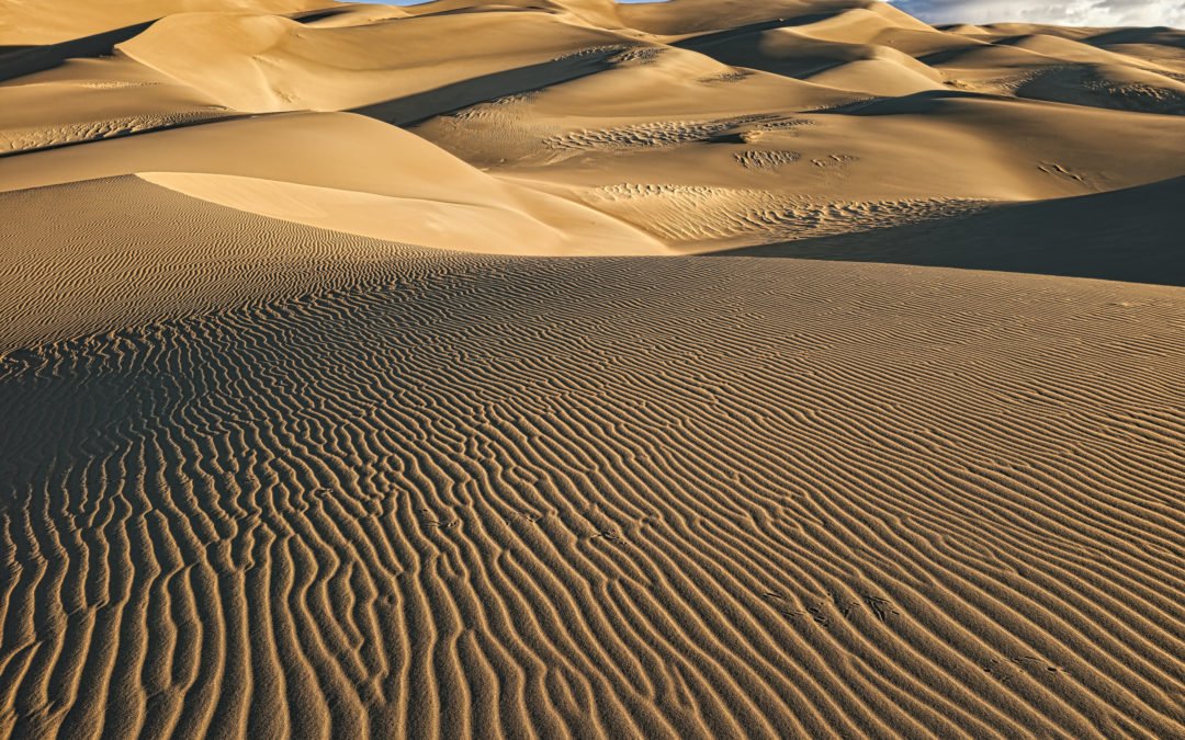
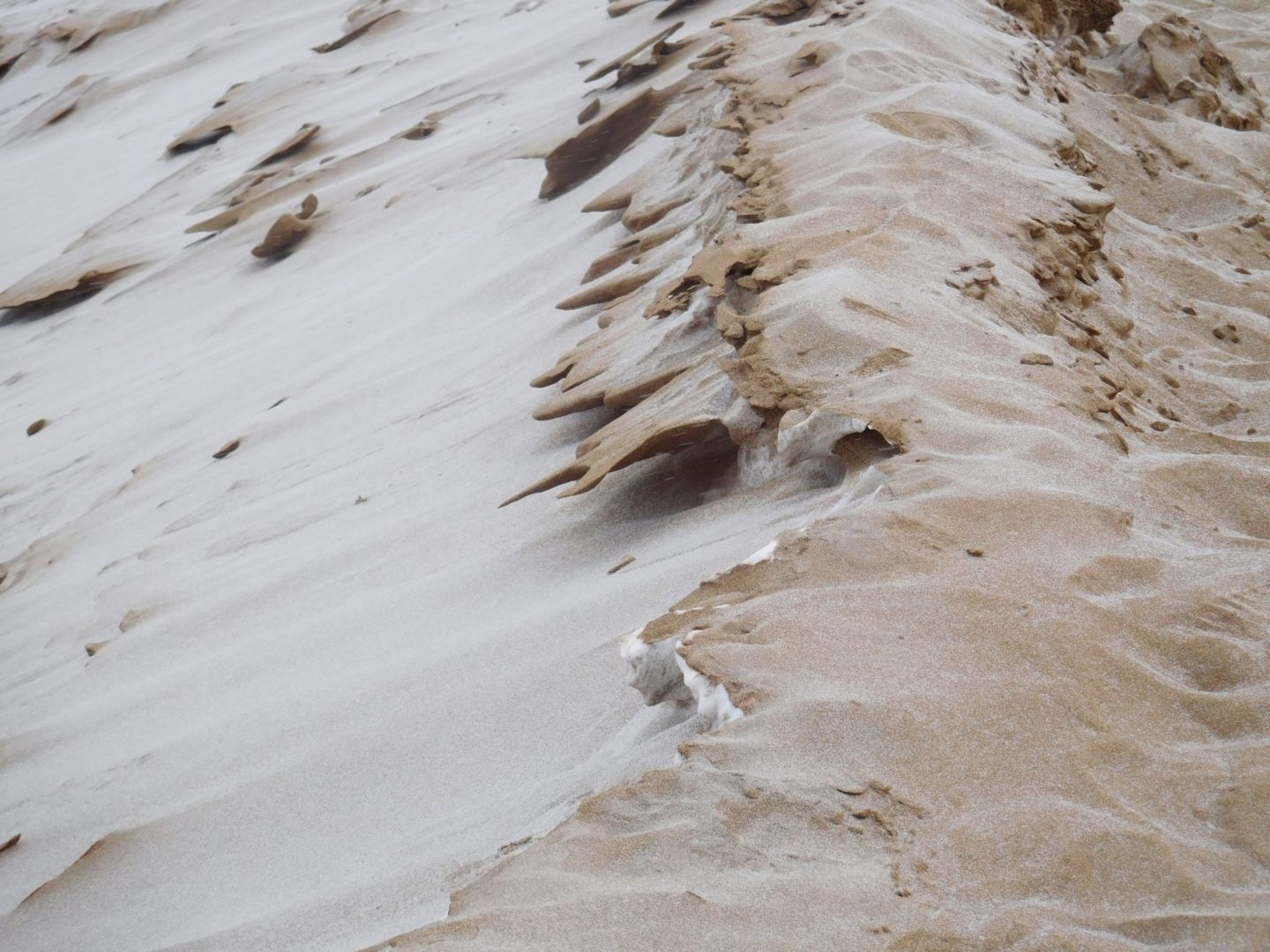
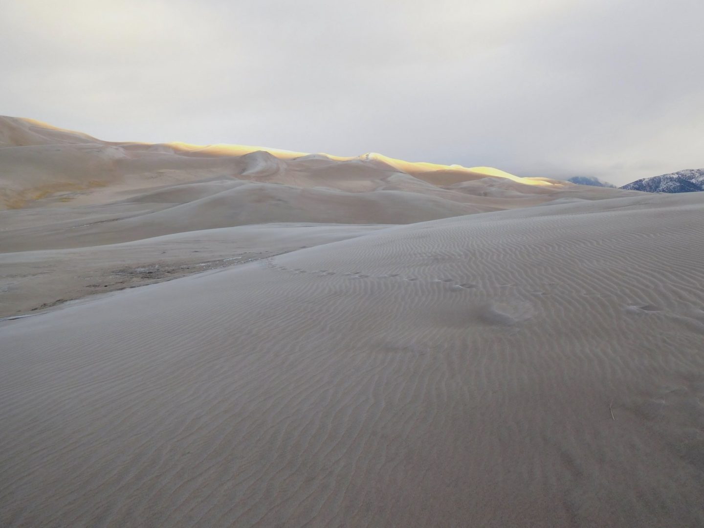
Shade from clouds create interesting patterns on the dunes
Shade from clouds create interesting patterns on the dunes
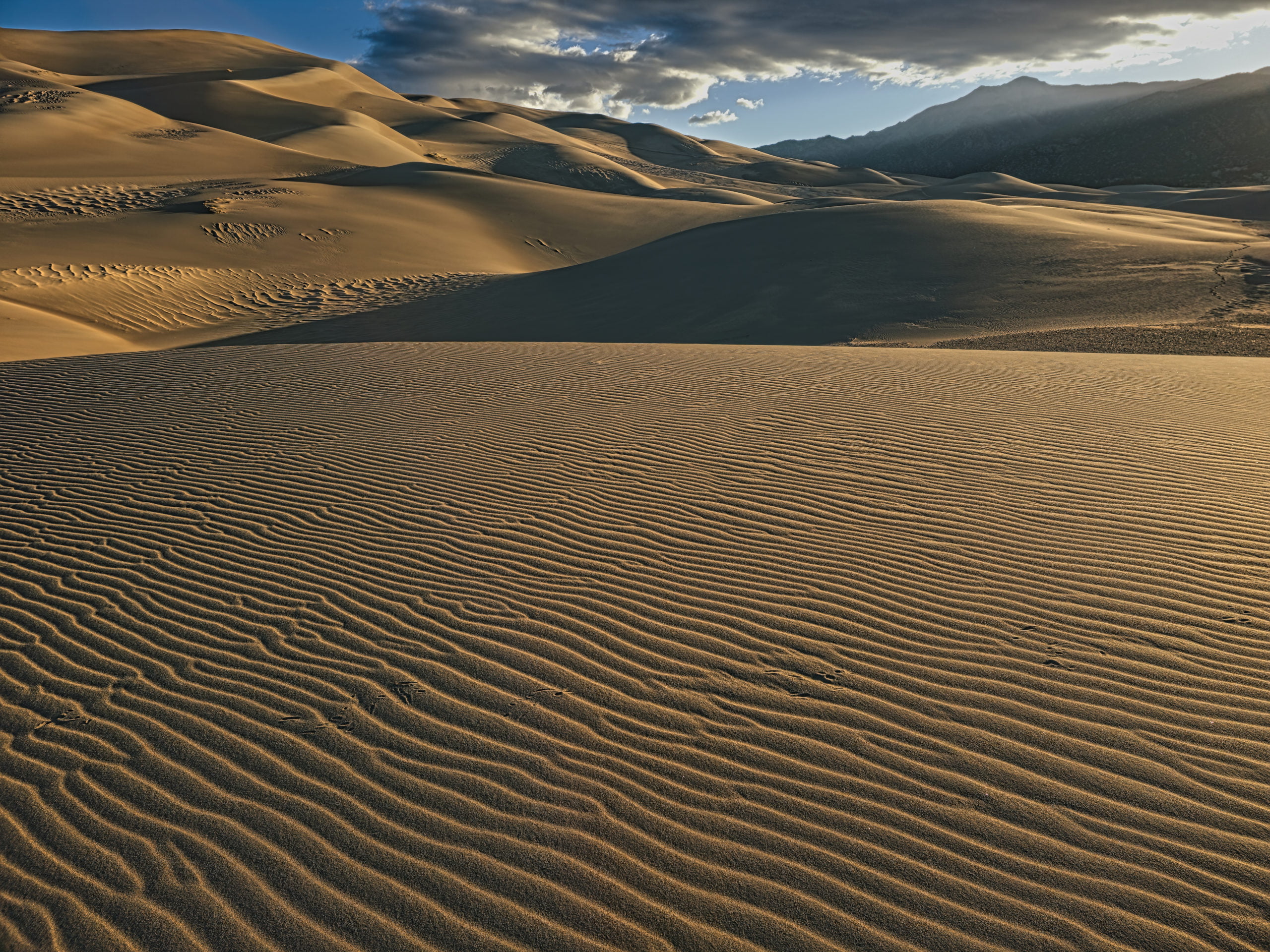
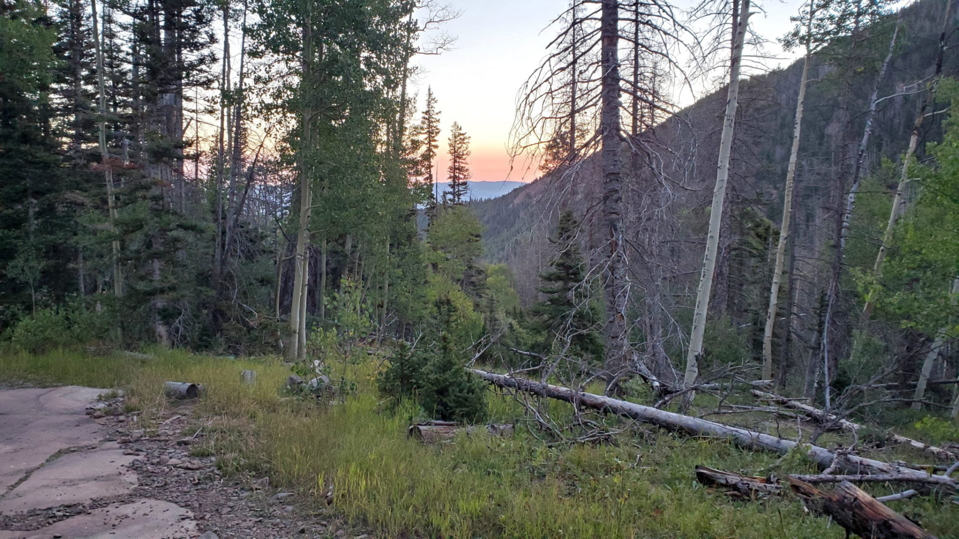
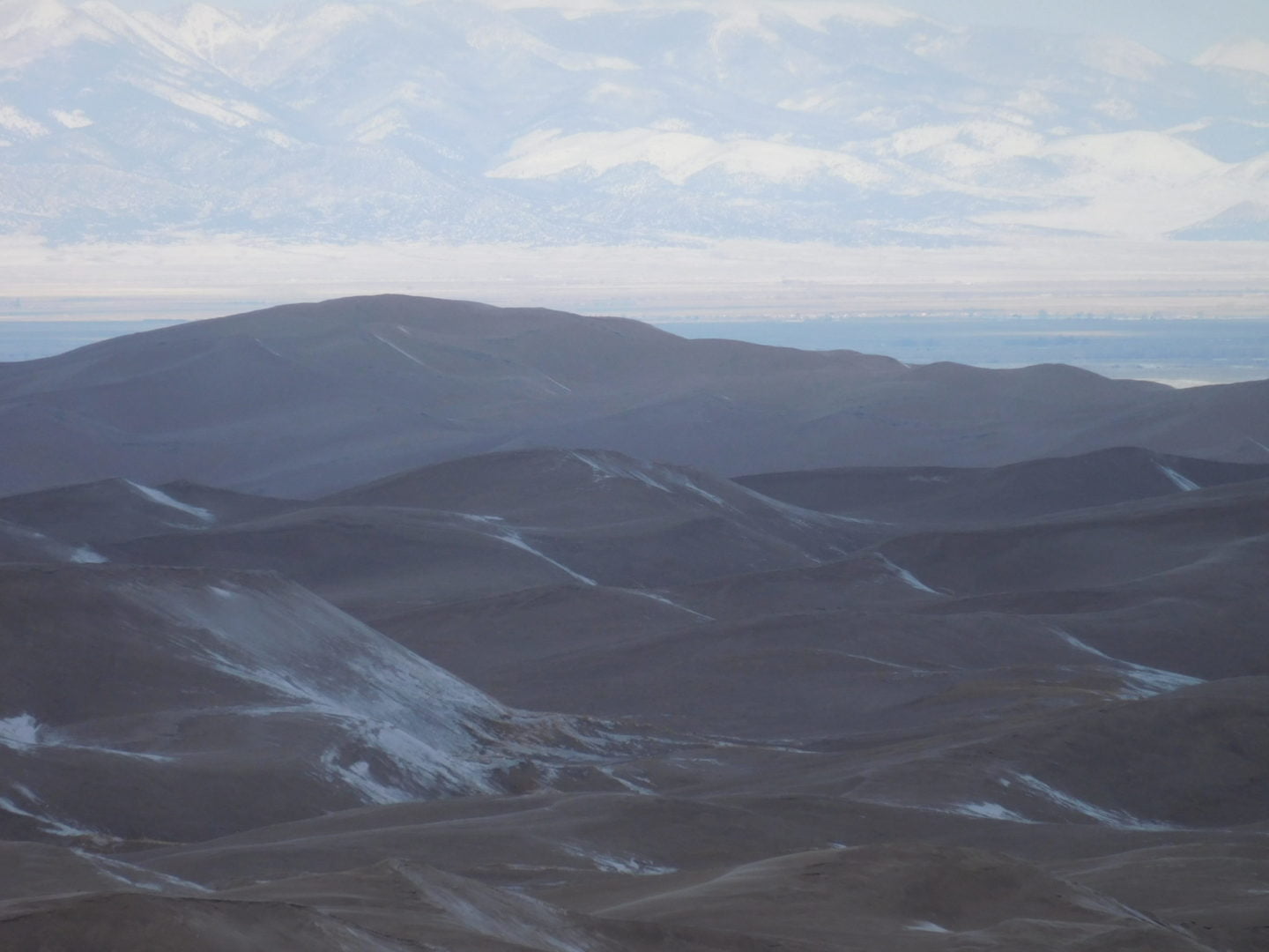
Sunrise in the valley
Sunrise in the valley
Great Sand Dunes National Park is located in the San Luis Valley of Colorado, USA and covers an area of over 30 square miles.
Great Sand Dunes National Park is located in the San Luis Valley of Colorado, USA and covers an area of over 30 square miles.

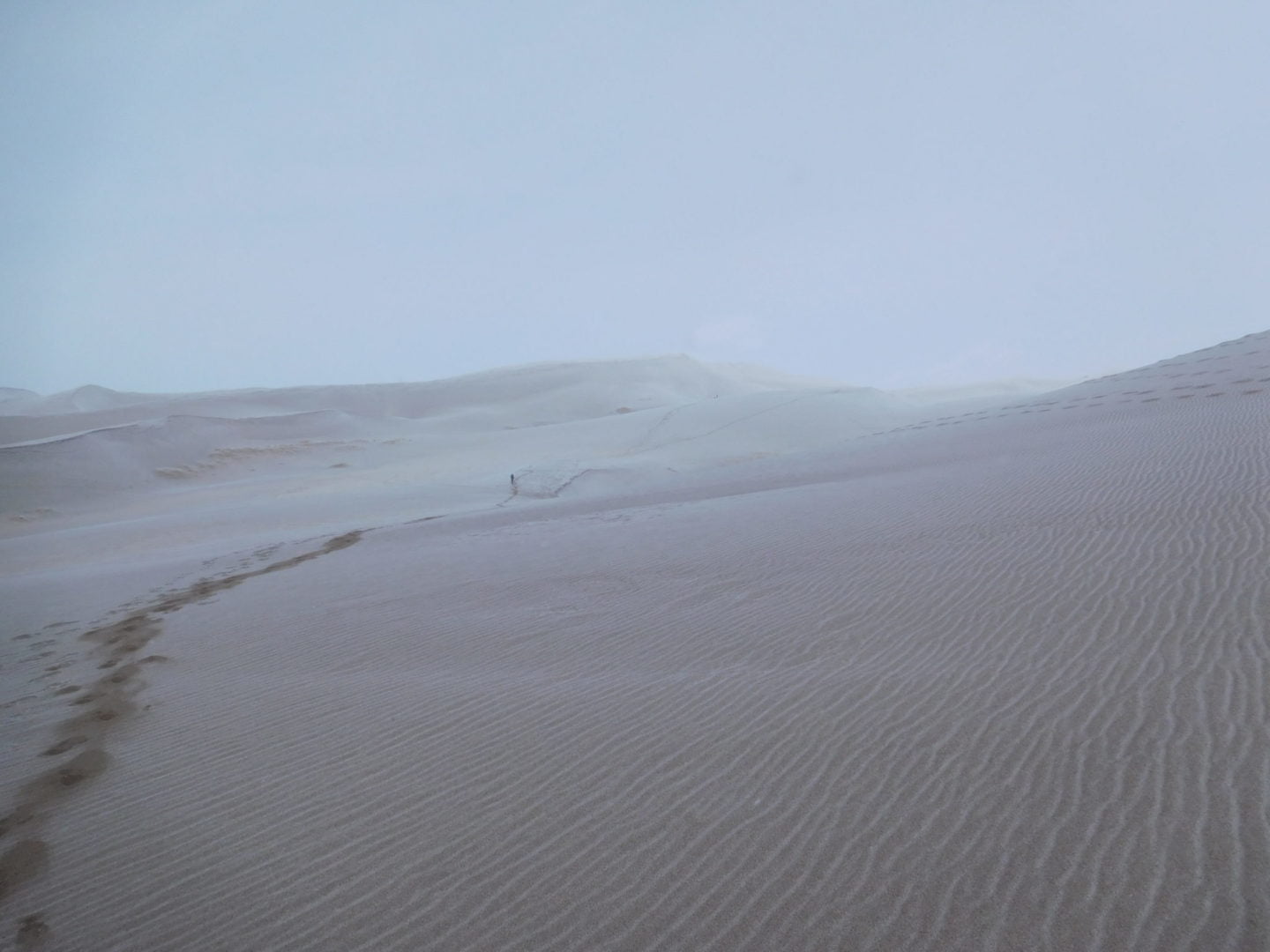
The sand dunes are constantly changing shape due to wind and weather patterns. They can shift up to 50 feet in just one year.
The sand dunes are constantly changing shape due to wind and weather patterns. They can shift up to 50 feet in just one year.

There are no trails through the dunes as the sand would erase them in a matter of hours.
There are no trails through the dunes as the sand would erase them in a matter of hours.
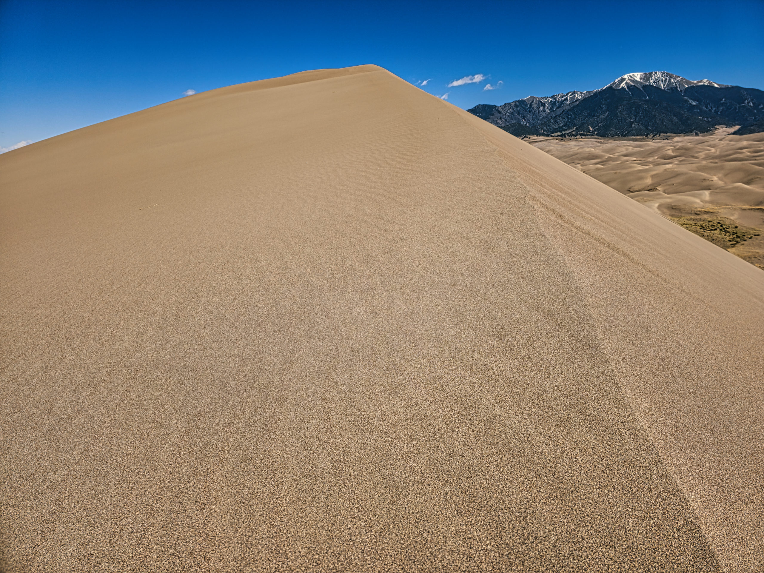
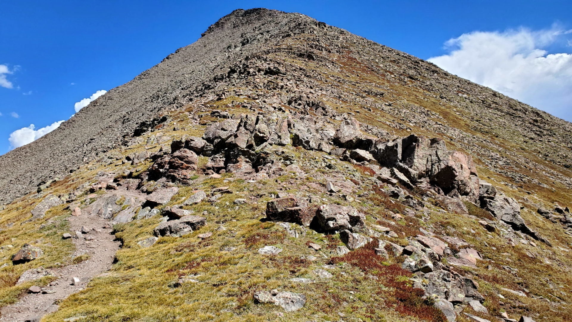
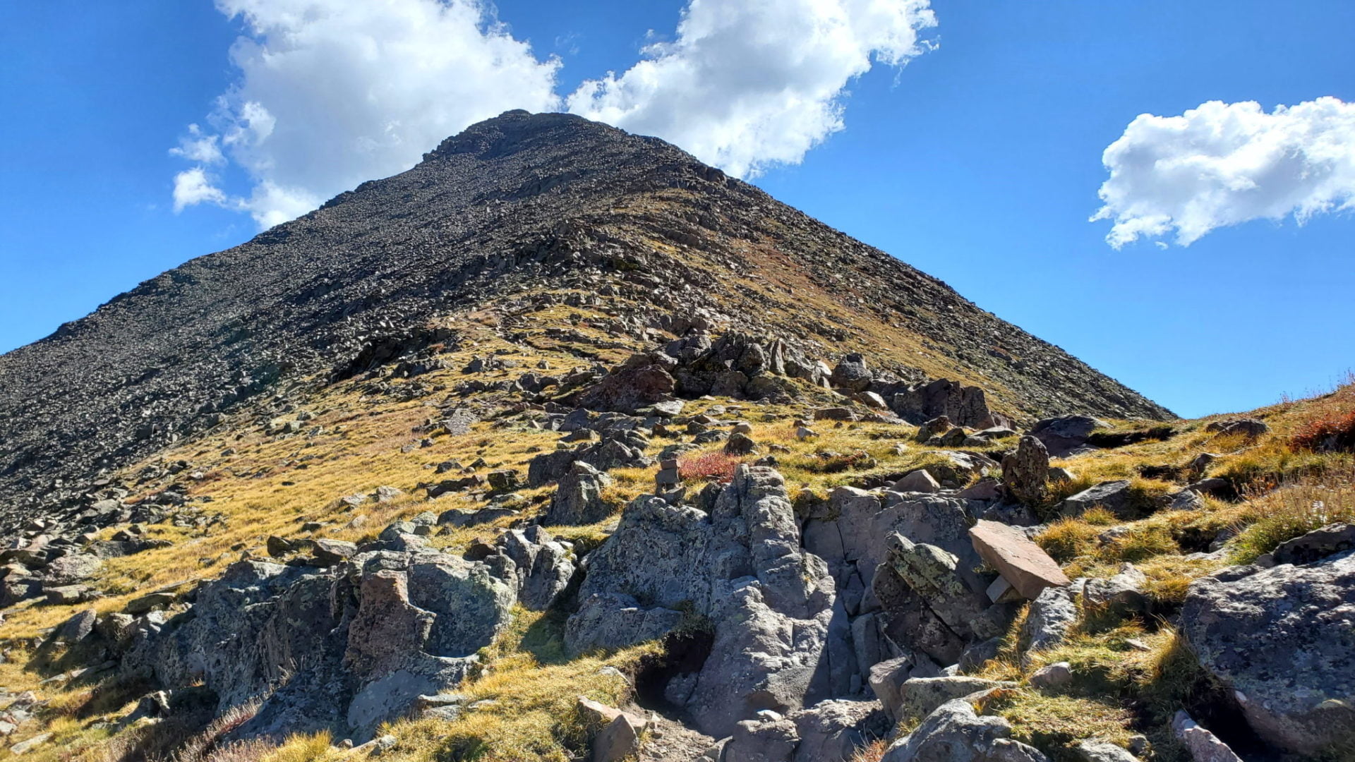
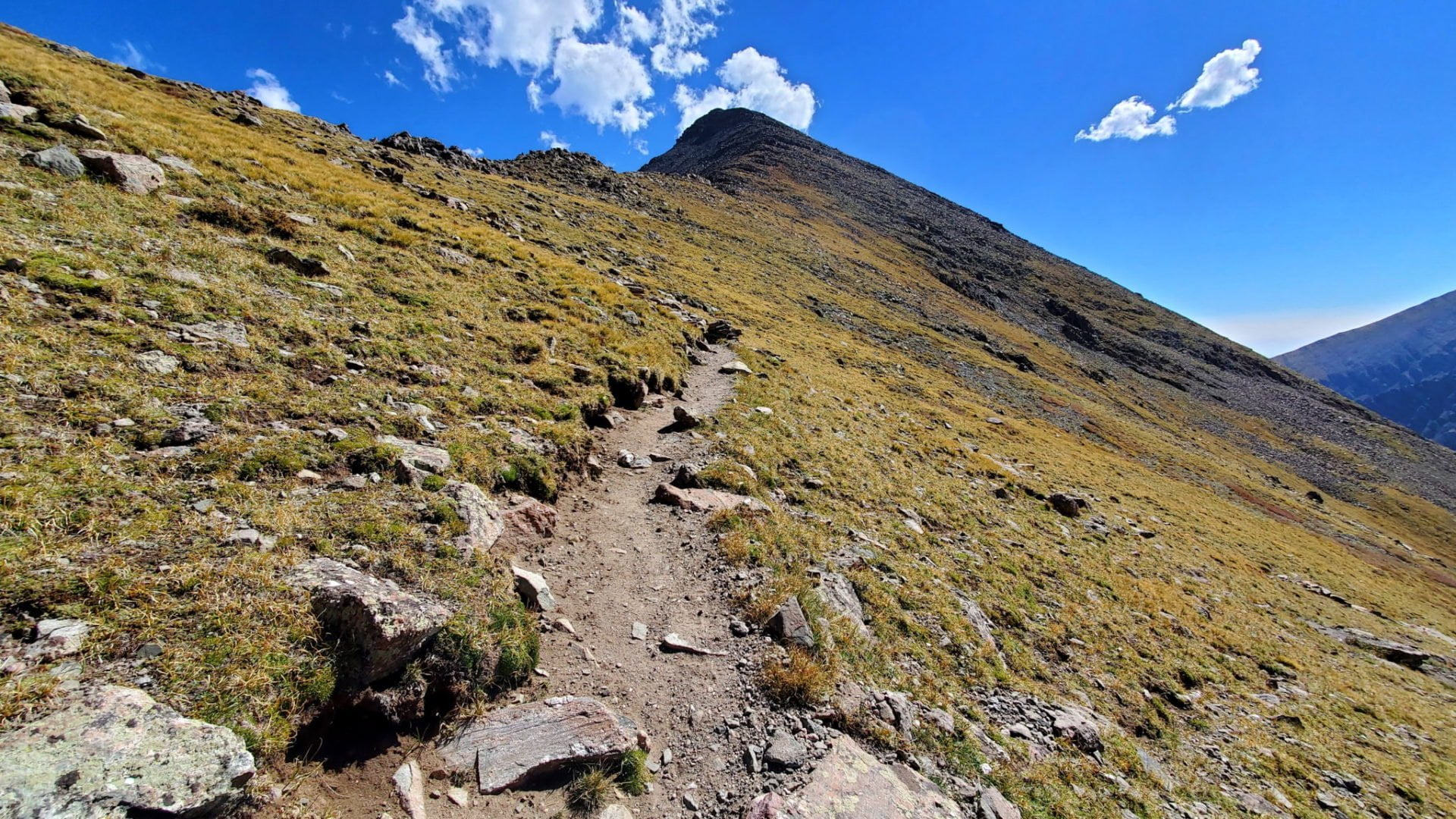
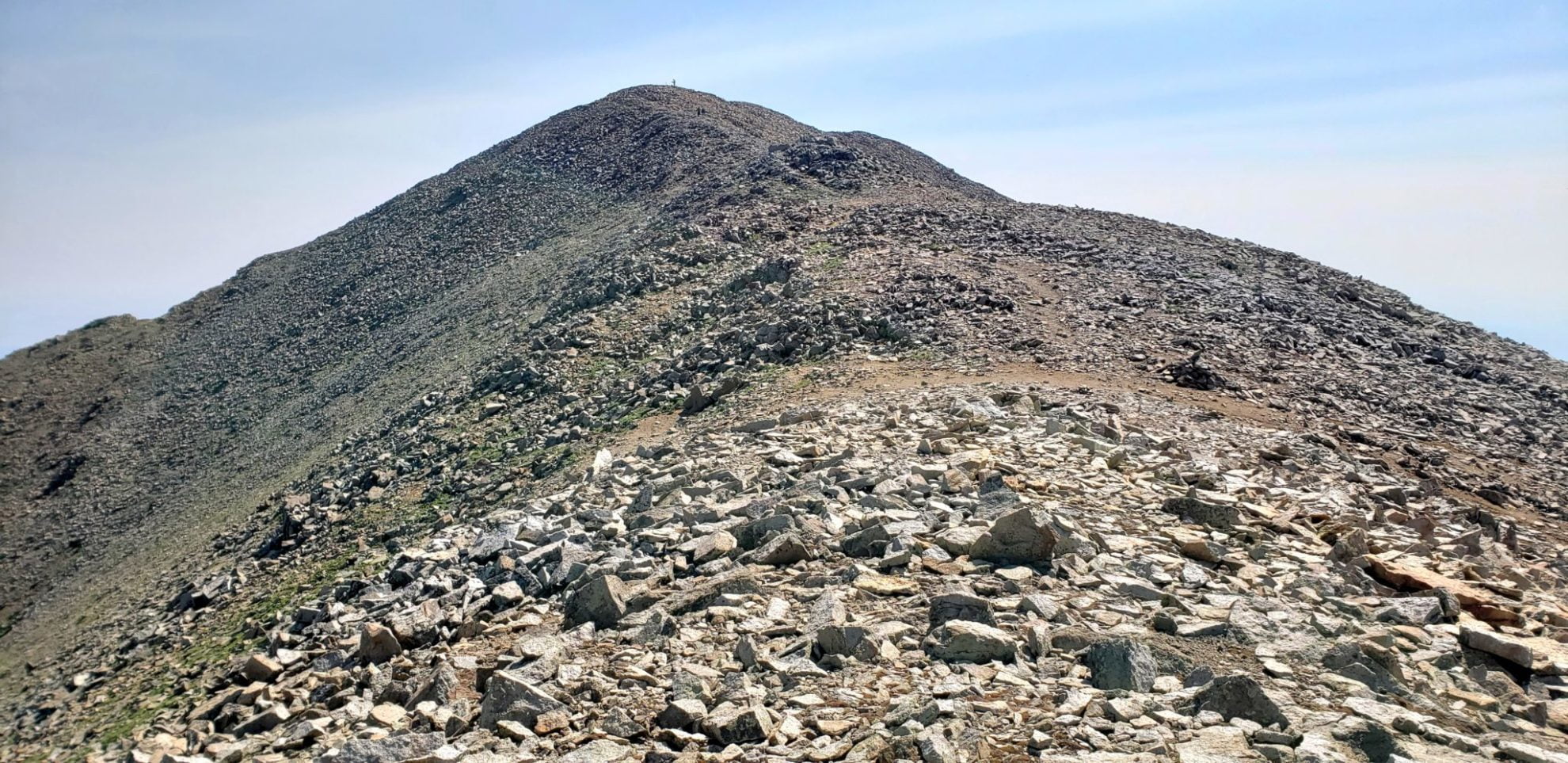
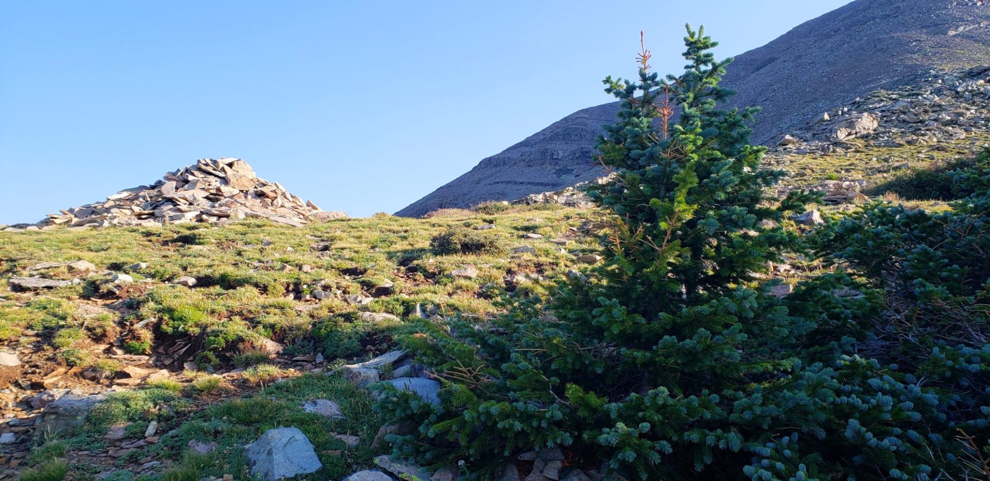
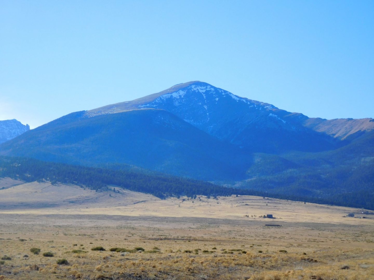
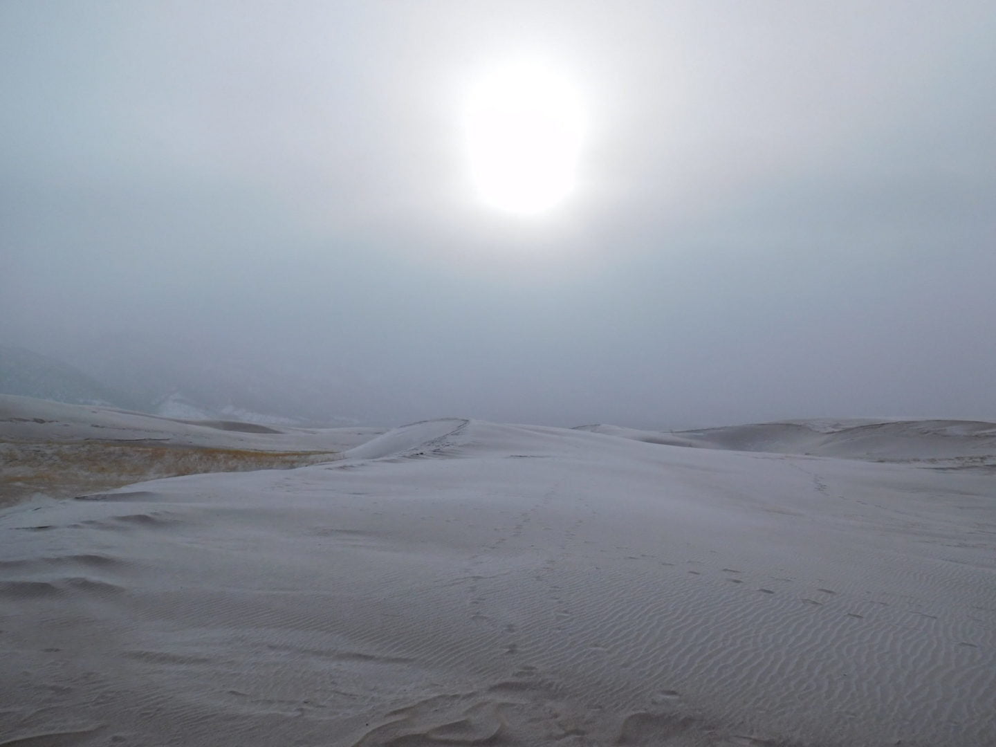
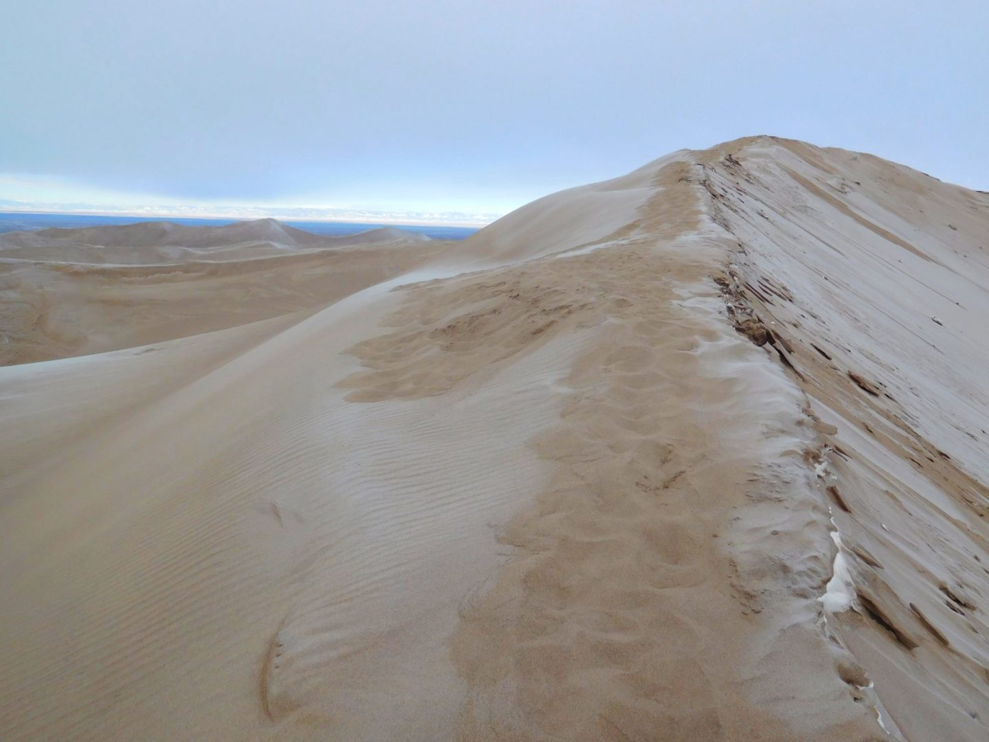
The summit of Star Dune (8,617′) ahead.
The summit of Star Dune (8,617′) ahead.

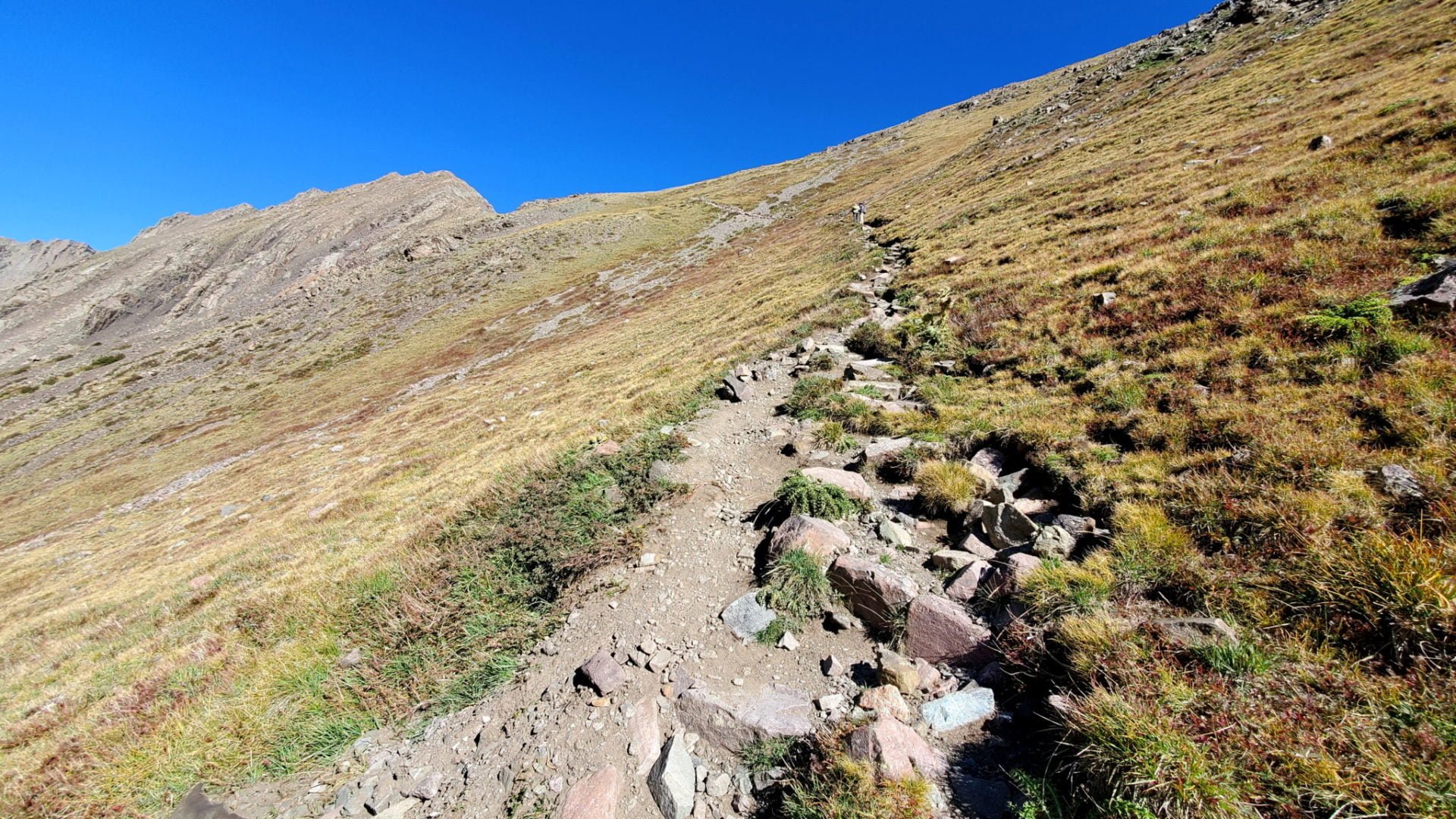
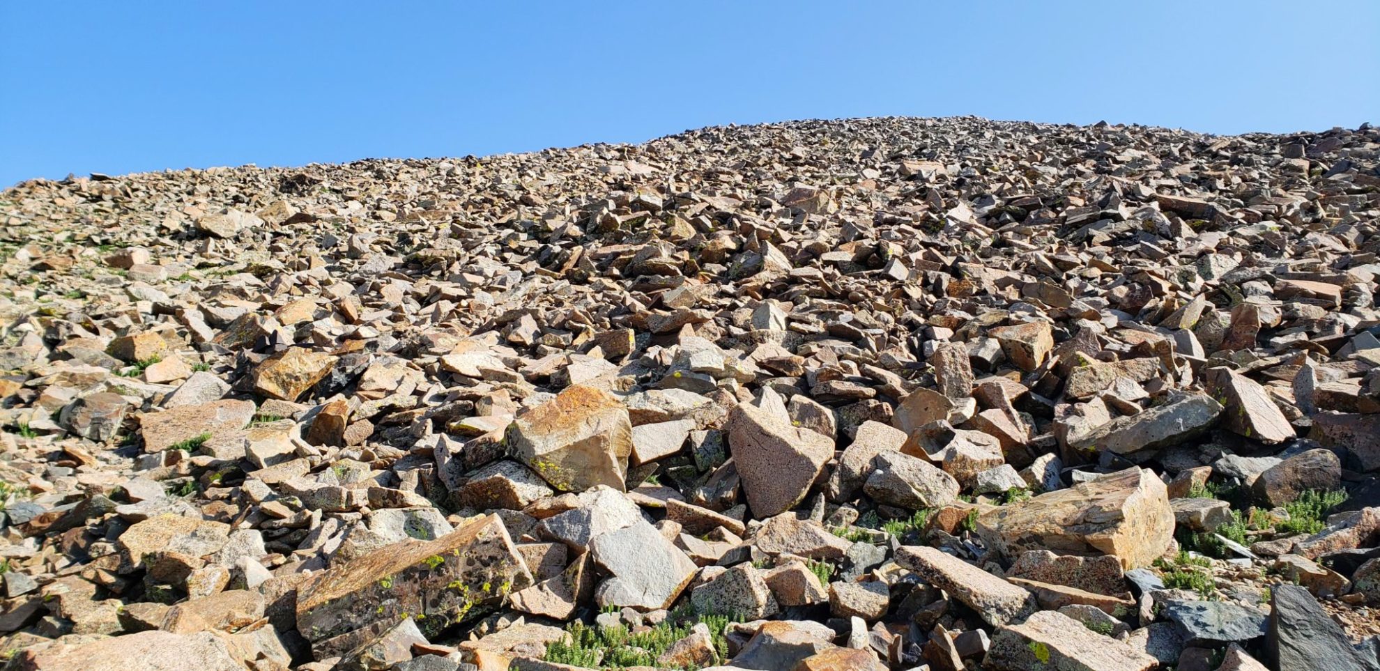
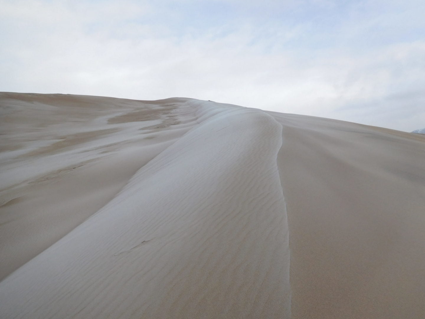
The final push to the summit was very steep
The final push to the summit was very steep

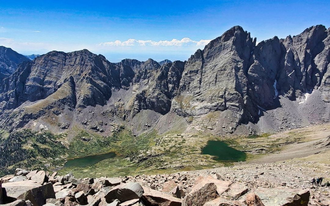
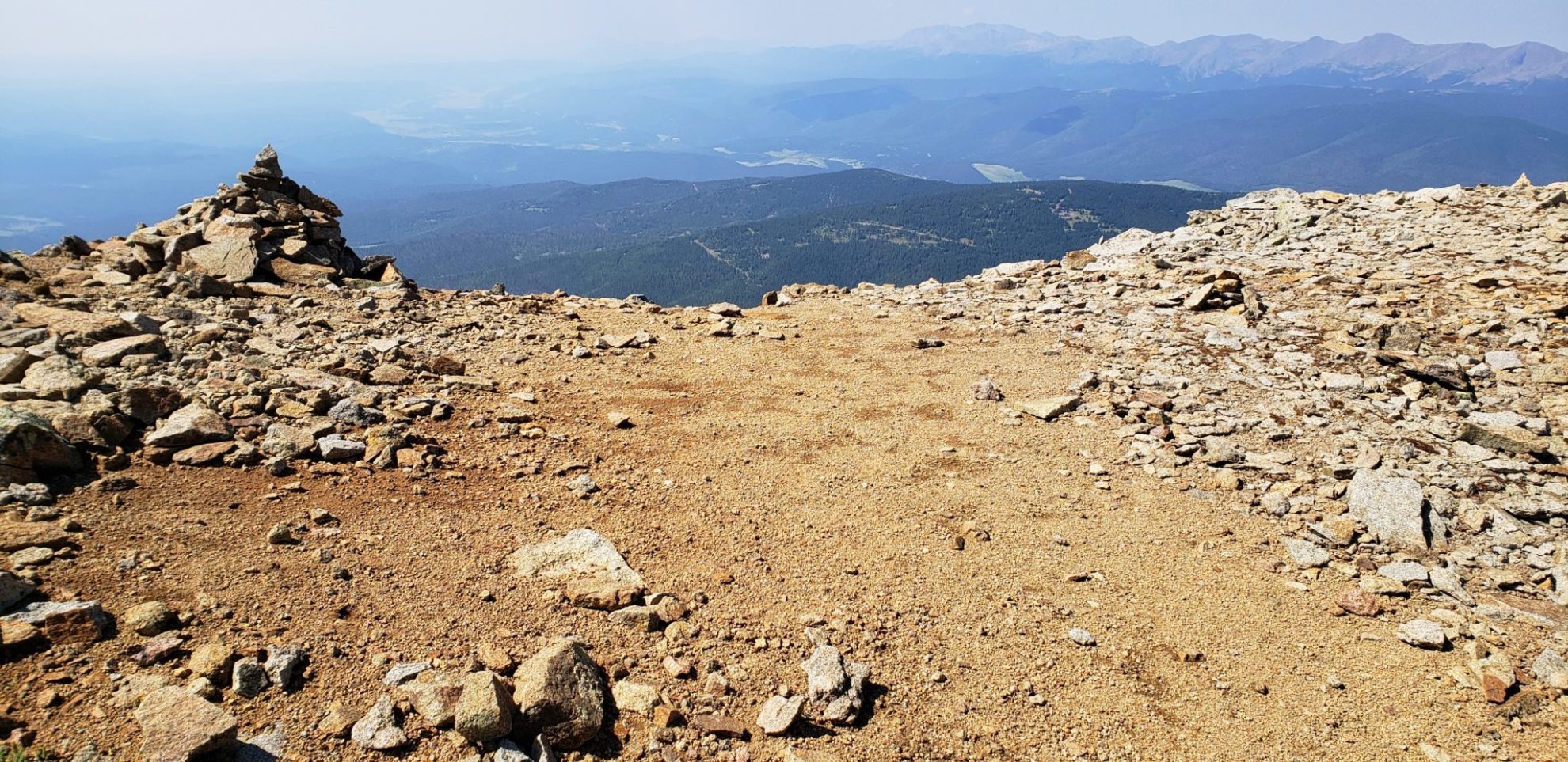
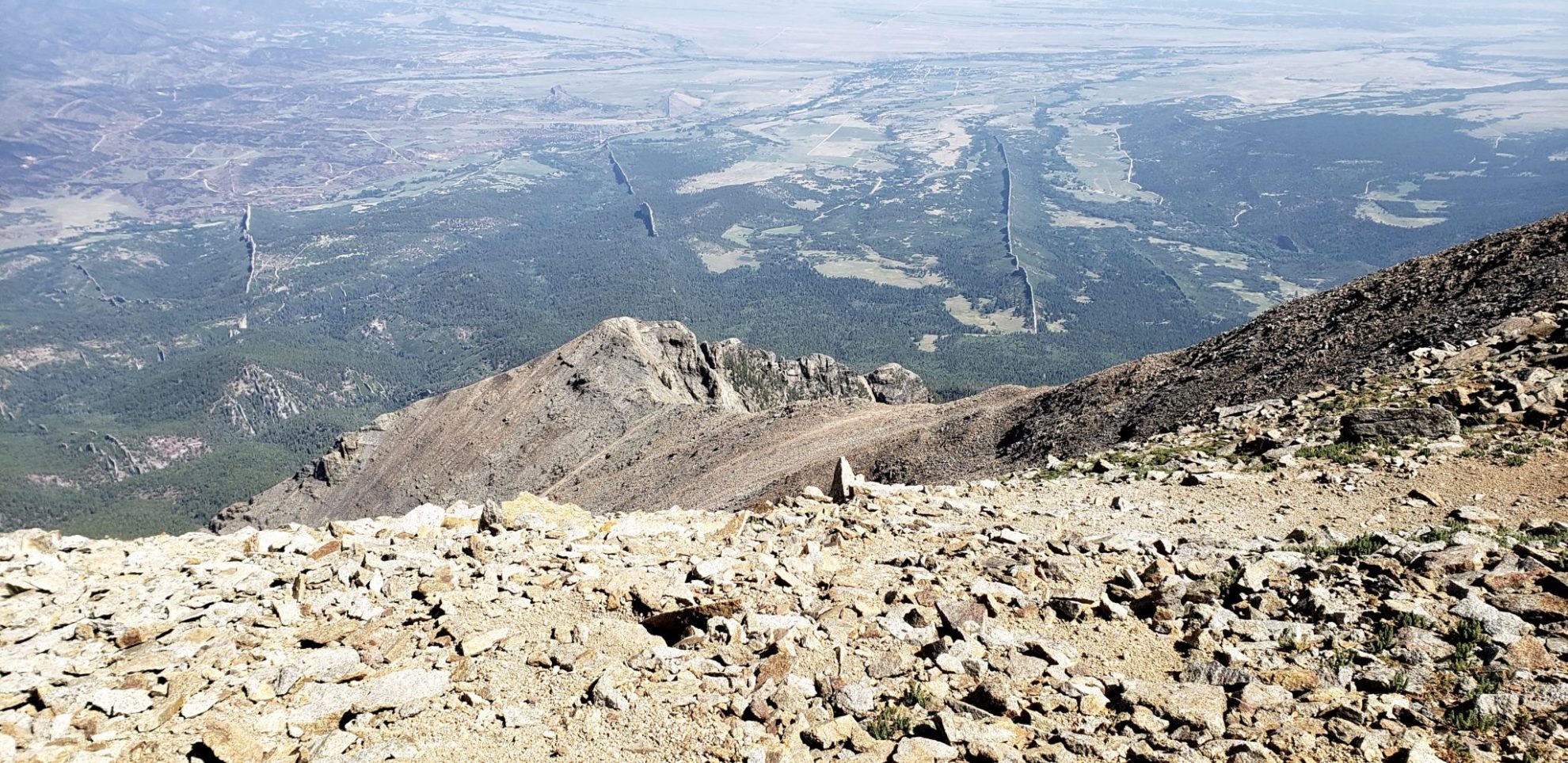
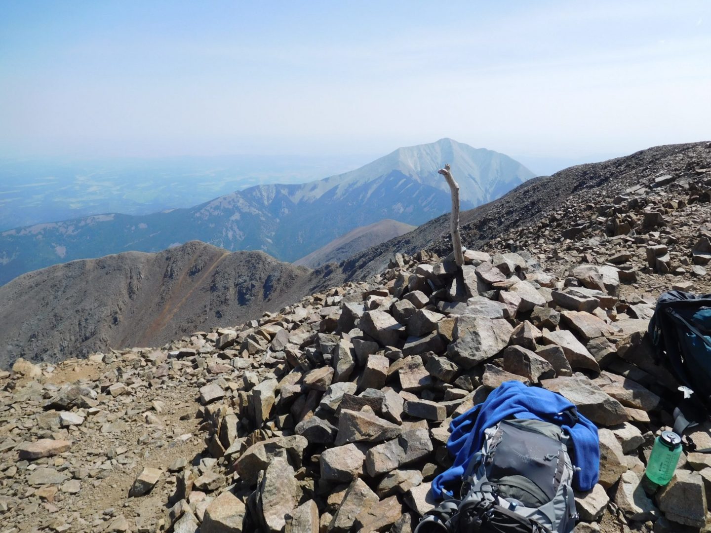
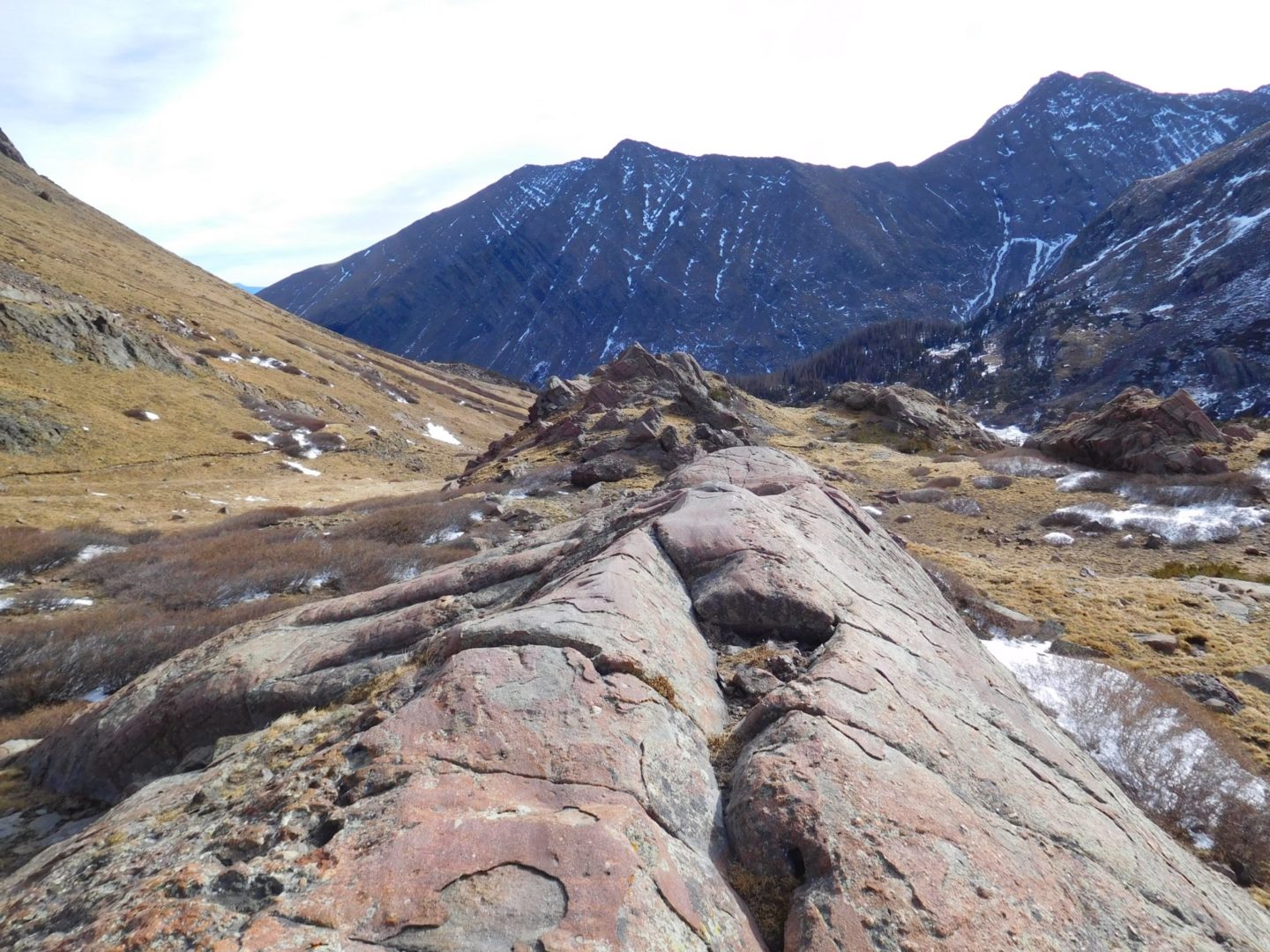
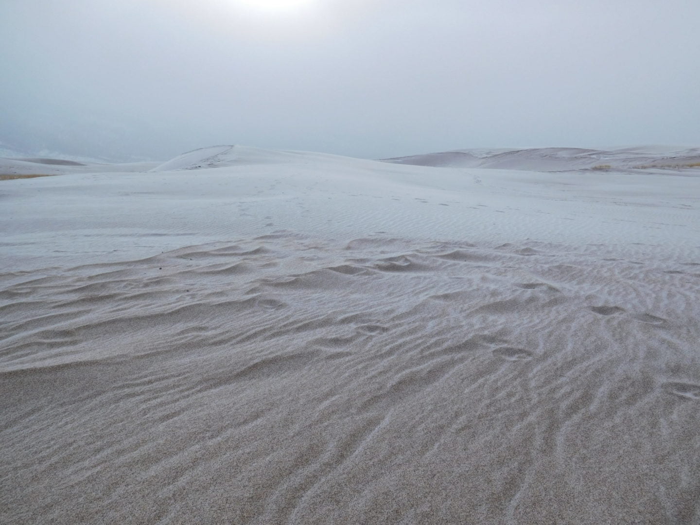
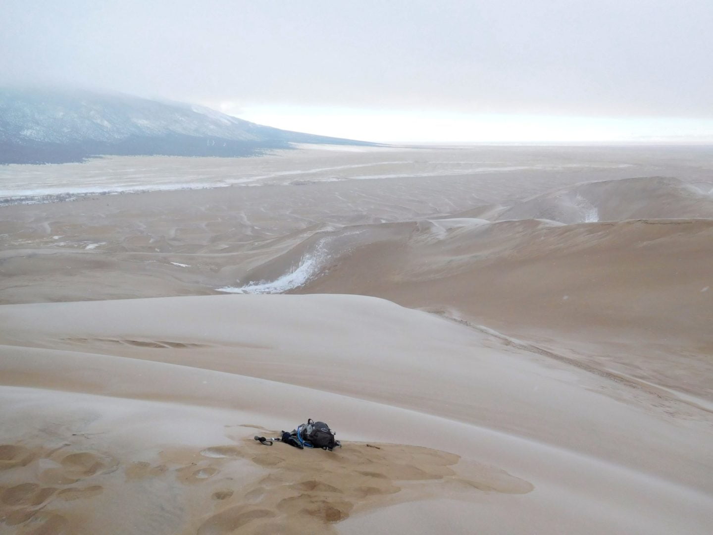
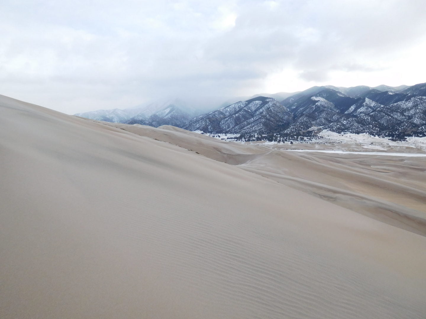
From the summit there are 360 degree views of the park
From the summit there are 360 degree views of the park

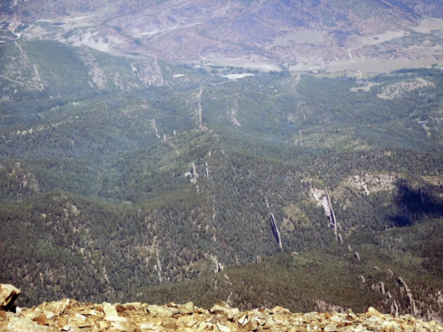
Most of the park is deserted, with most of the activity taking place near the Medano creek parking lots.
Most of the park is deserted, with most of the activity taking place near the Medano creek parking lots.

Medano Creek cutting through the dunes
Medano Creek cutting through the dunes
GPX with Elevation
Video Tour
Trail Directions
Average round trip hiking time for High Dune is 6 hours over 7 miles (11.3 km). There is no trail. Popular hiking applications are often inaccurate. Plan to take as much as 9 hours to hike roundtrip as hiking on loose sand is difficult.
The dune now measures 741 feet (225 m) from base to summit. While it can be hiked from the summit of High Dune on First Ridge, it’s more direct, and less up and down, to access it via its base along the Medano Creek bed. From the Dunes Parking Lot, hike about 2 miles (3.2 km) south down the Medano Creek bed until the massive pyramid-shaped Star Dune comes into view. Follow a ridge to its summit.
Trailhead Directions


