Rollins Pass (11,671′), Front Range
Rollins Pass (11,671′), Front Range
Rollins Pass is located on the Continental Divide, approximately five miles east of Winter Park, when approaching from the west. The abandoned rail route over the pass was designated a National Register of Historic Places in 1980 because of engineering feats accomplished by railroading efforts in the early 20th century.
The 4×4 trail takes you along one of the highest and most dangerous railroad routes ever built. The railroad had to deal with huge snow drifts, arctic climates, and steep grades, causing many incidents over the years. The route was used until 1927, when the nearby Moffat Tunnel was completed.
The route chosen was to climb to the pass from the west side heading east. Regardless, the route from either side is out and back. The route across the pass is closed from the Continental Divide to the Needle’s Eye Tunnel to motorized traffic.
Trail Stats
- Trailhead: Hwy 40 – Winter Park
- Round trip: 20.6 miles / 33.2 km (easy)
- Elevation: 9,105′- 11,671′ / 2,776 m – 3,558 m
- County: Grand
- National Forest: Arapaho
- Wilderness: James Peak Protection Area

Trail Pictures

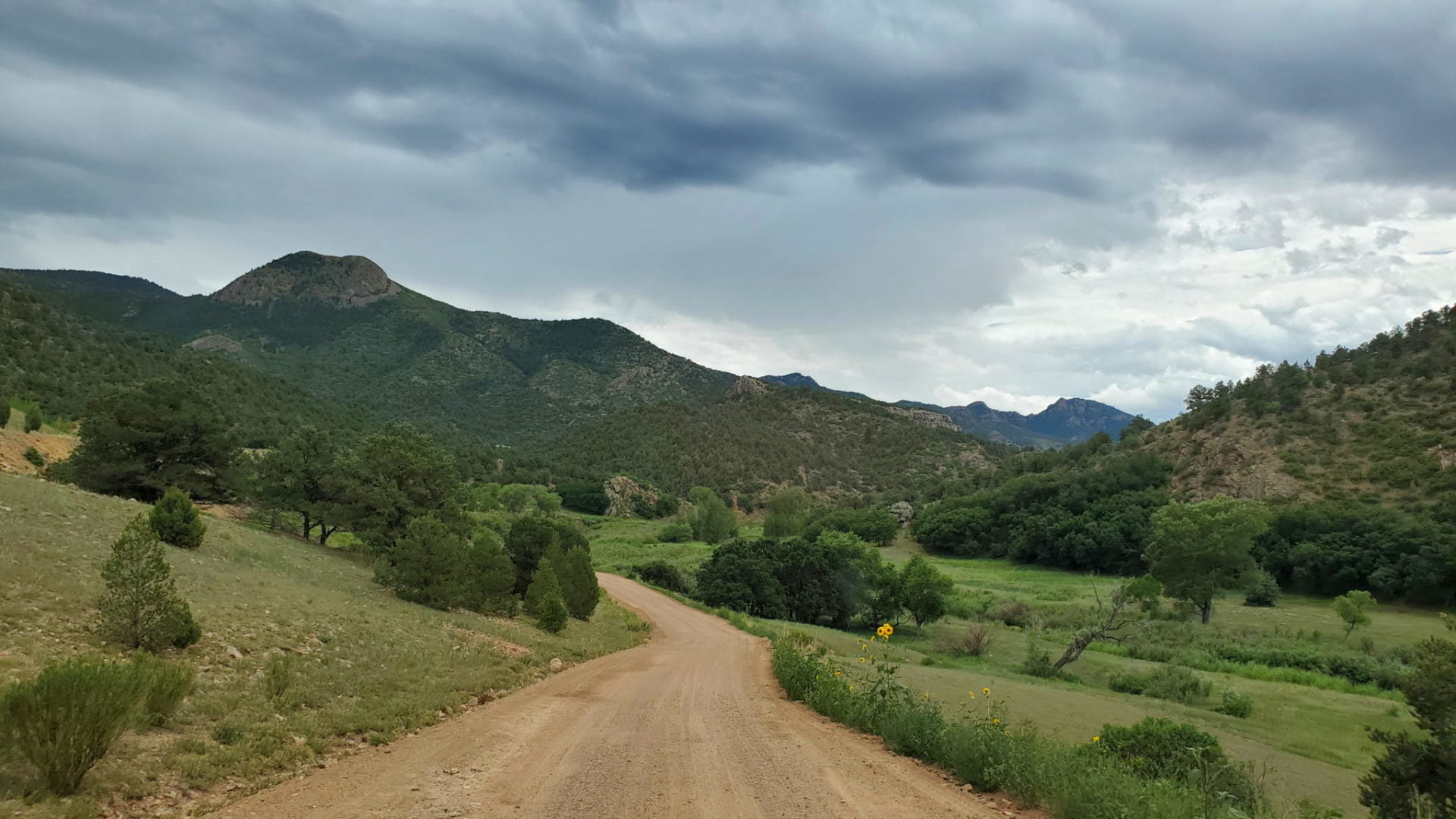
Entrance from I-40
Entrance from I-40
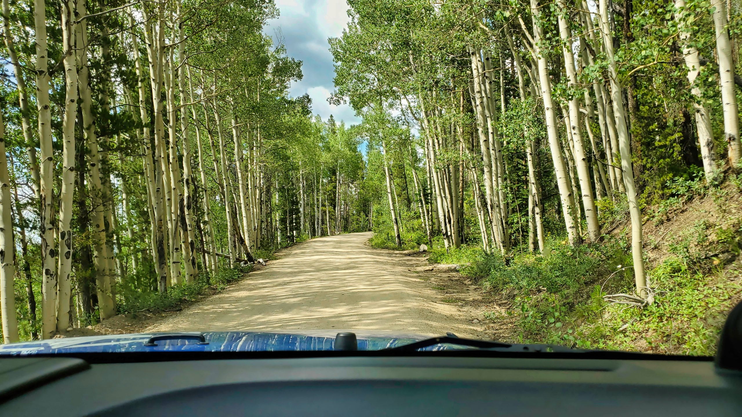
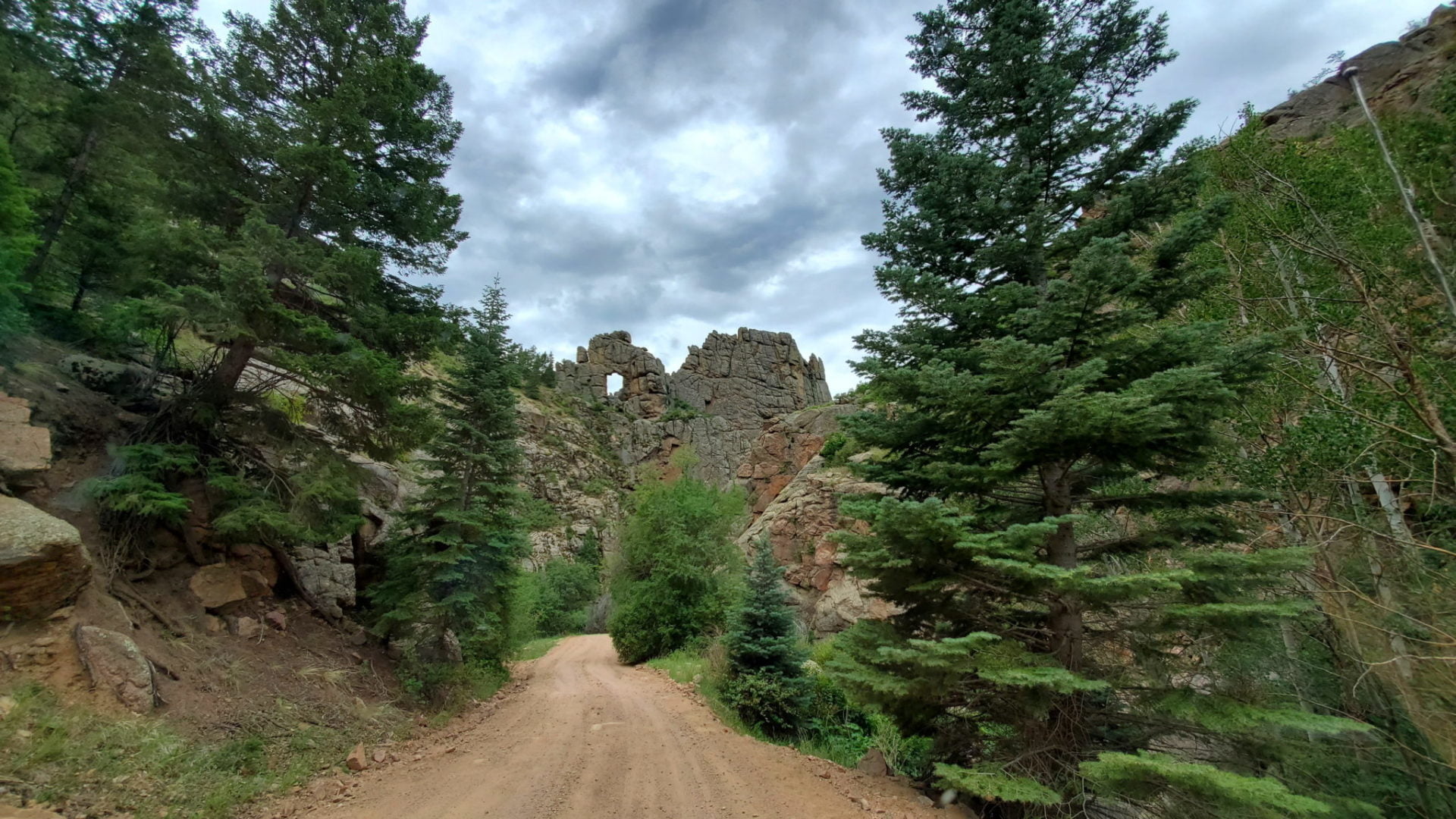
Aspen groves along the trail
Aspen groves along the trail

View from the west side of the pass
View from the west side of the pass

Rollins Pass is sometimes given the nickname of Corona Pass, named for the apex station at the summit, Corona
Rollins Pass is sometimes given the nickname of Corona Pass, named for the apex station at the summit, Corona

The abandoned rail route over Rollins Pass accepted into the National Register of Historic Places in 1980
The abandoned rail route over Rollins Pass accepted into the National Register of Historic Places in 1980

The trail to Rollins Pass as it climbs above treeline
The trail to Rollins Pass as it climbs above treeline
Rollins Pass is scheduled open for vehicular summer traffic from June 15 through November 15
Rollins Pass is scheduled open for vehicular summer traffic from June 15 through November 15

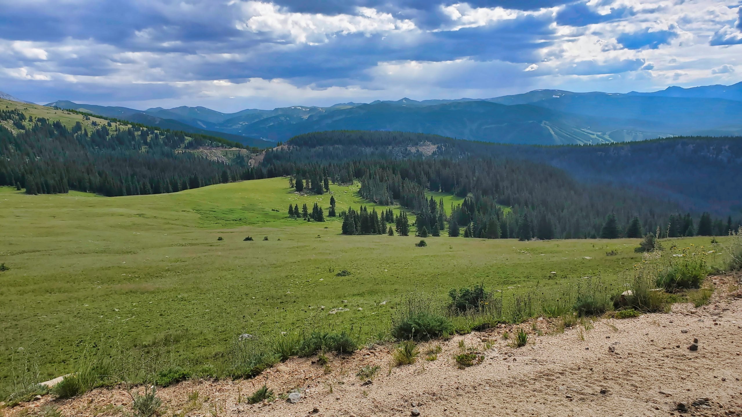
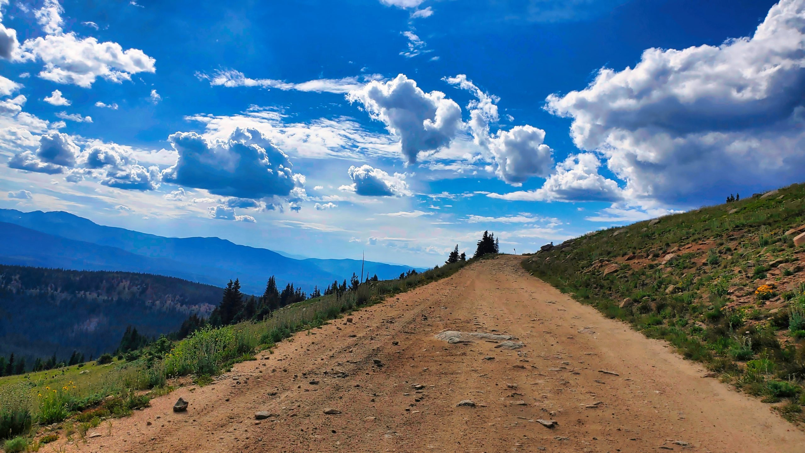
View to the west from the trail
View to the west from the trail
Heading east to the pass
Heading east to the pass
Nearing Rollins Pass summit
Nearing Rollins Pass summit

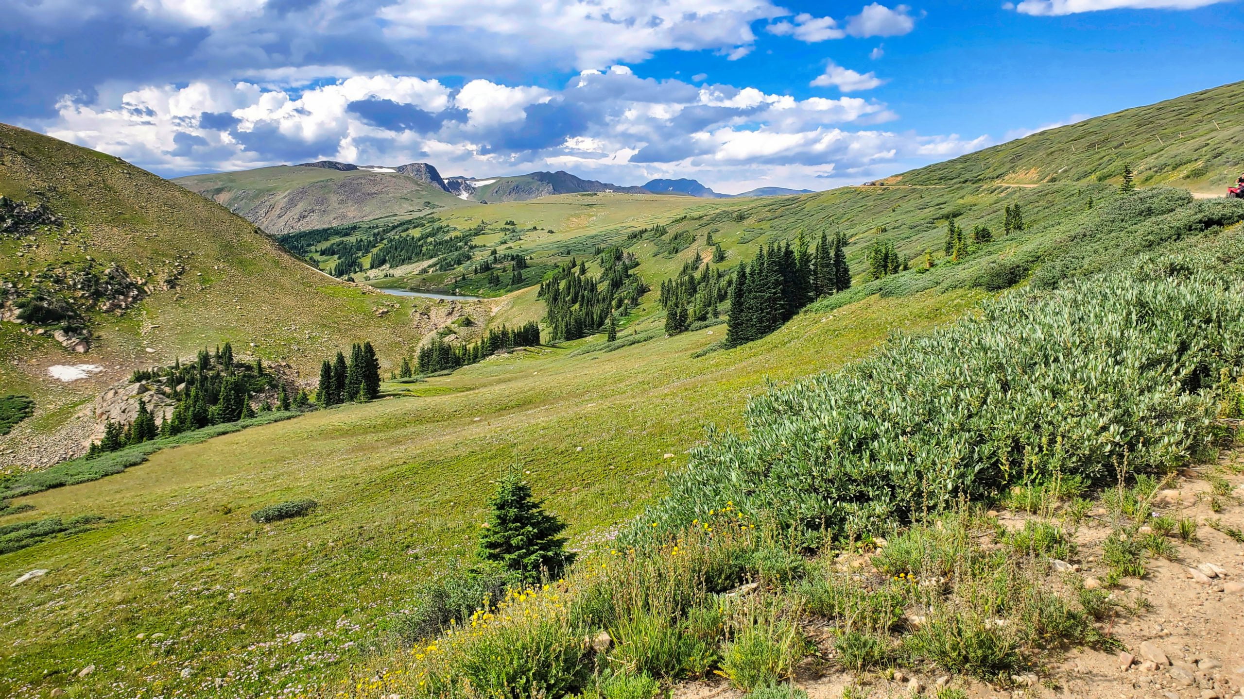
Pumphouse Lake below Mt Epworth
Pumphouse Lake below Mt Epworth

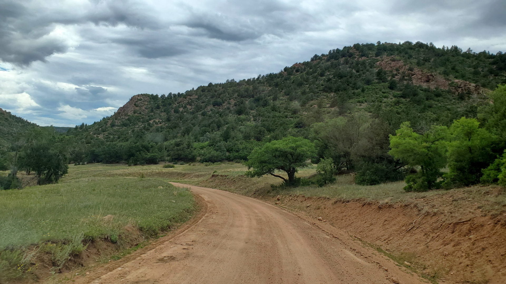
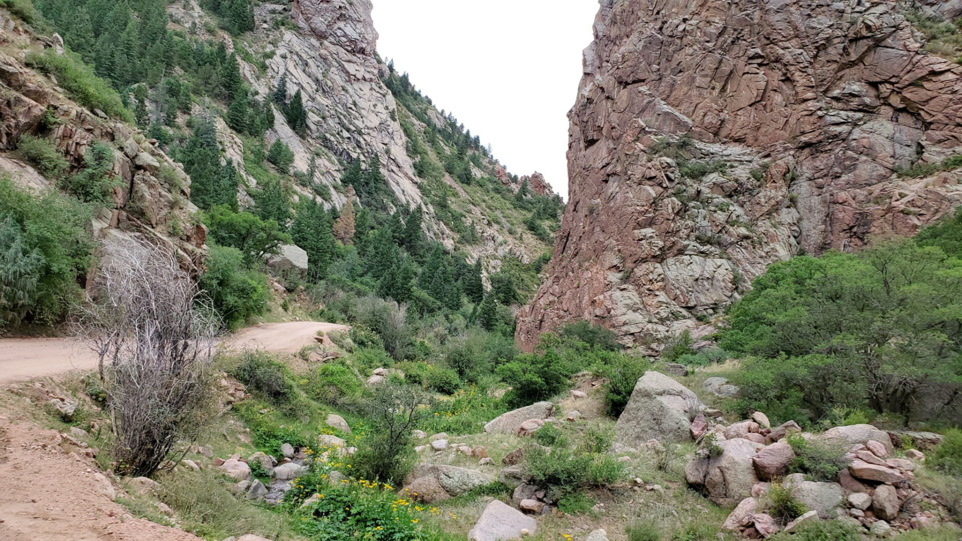
The trail is easy with the exception of a couple of rocky sections
The trail is easy with the exception of a couple of rocky sections

Mt Epworth on the left
Mt Epworth on the left
The route was used for nearly two decades as a wagon road from 1862–1880
The route was used for nearly two decades as a wagon road from 1862–1880

Rollins Pass summit look east at the closed road
Rollins Pass summit look east at the closed road

View from the top of the pass
View from the top of the pass

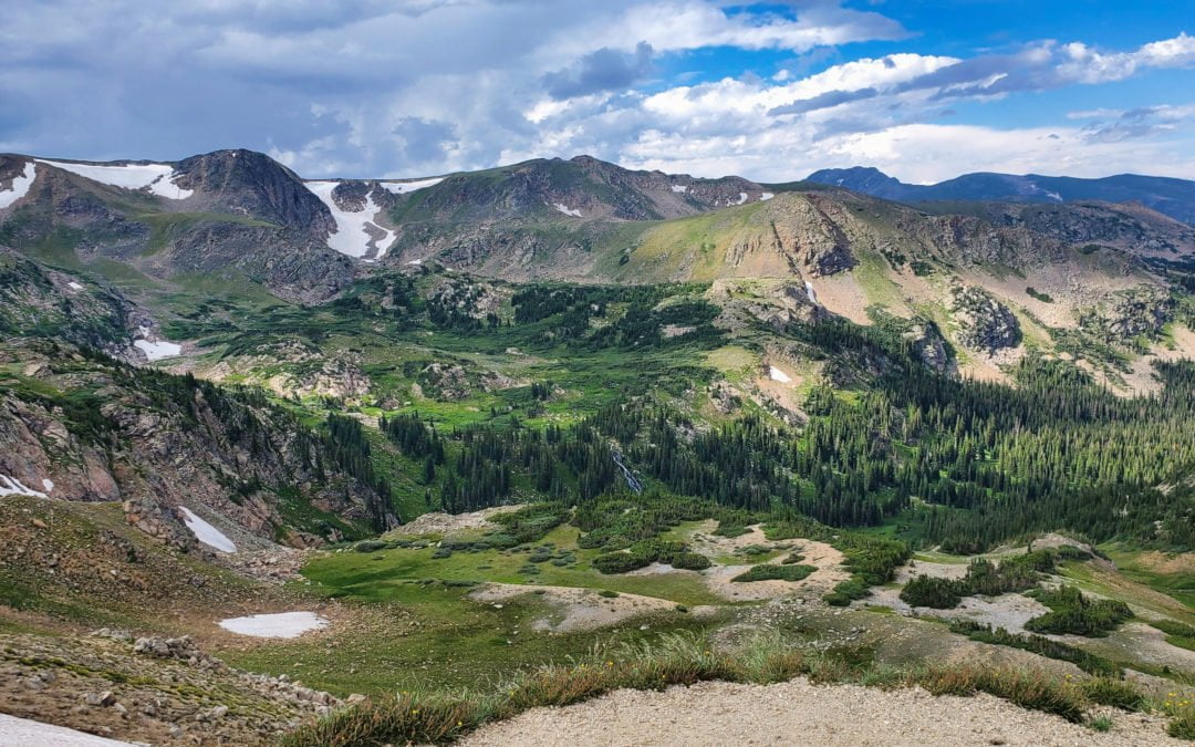
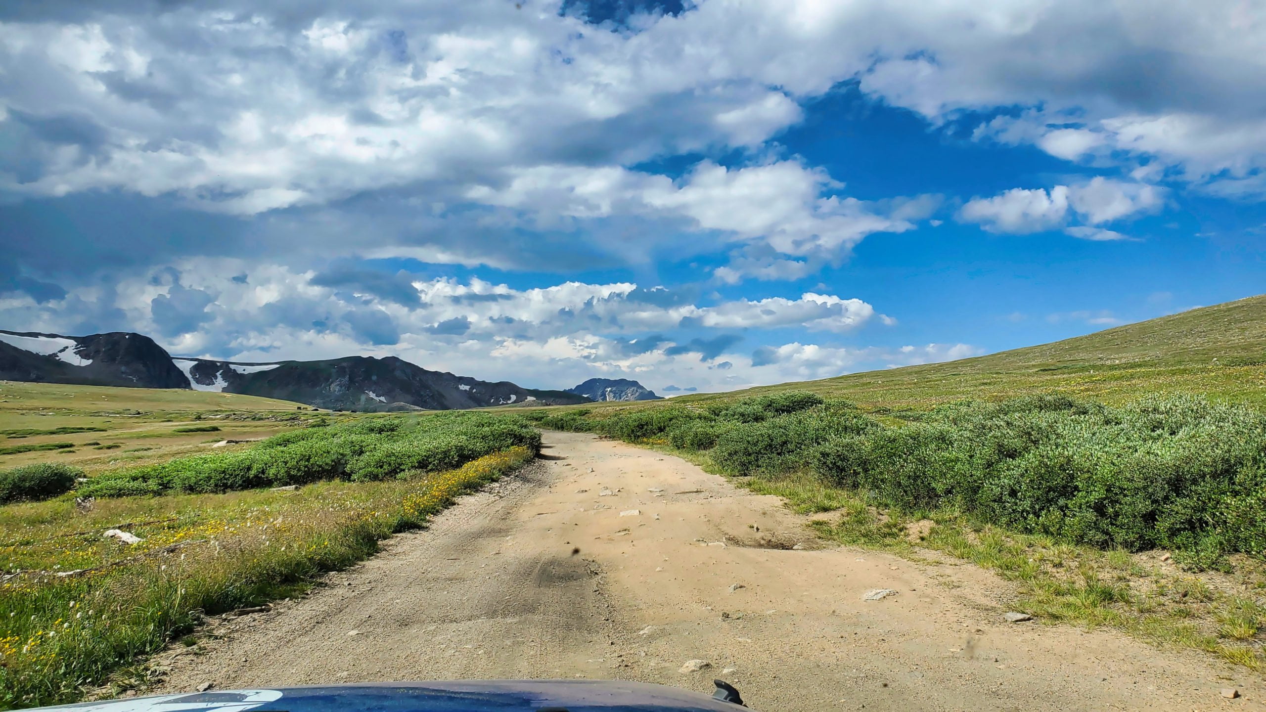
View of Skyscraper Peak and glacier on the right from Rollins Pass
View of Skyscraper Peak and glacier on the right from Rollins Pass
GPX with Elevation
Video Tour
Trail Directions
Take the Corona Pass Rd turnoff on the northbound side of US-40 just south of Winter Park. The pass once had a town called Corona at the summit, which is why the road has it’s name. The road is very rocky at the begining, and in sections all the way up. Stay on the main road all the way to the pass.
At the summit you will be in what was once the town of Corona. The route across the pass is closed from the Continental Divide to the Needle’s Eye Tunnel to motorized traffic, so retrace your route back down.
Trailhead Directions