Mosquito Pass (13,185′), Mosquito Range
Mosquito Pass was built to connect the towns of Alma to the east, with Leadville to the west. It is the highest crossable vehicle mountain pass in the U.S. outside of Alaska. While there are higher vehicle passes, they are all out and back. The trail crosses the Continental Divide, between the Arkansas and South Platte Rivers.
The Mosquito Range is also home to five 14,000′ peaks; Mt Sherman, Mt Democrat, Mt Cameron, Mt Lincoln, and Mt Bross.
Trail Stats
- Trailhead: Alma or Leadville
- Round trip: 17 miles / 27.4 km
- Elevation: 10,361 – 13,185′ / 3,158m – 4,019 m
- County: Park
- Agency: U.S. Forest Service
- Nat’l Forest: San Isabel

Trail Pictures

Summit of Mosquito Pass 13,185′
Summit of Mosquito Pass 13,185′
West side of the pass road is covered in dangerous snow drifts
West side of the pass road is covered in dangerous snow drifts

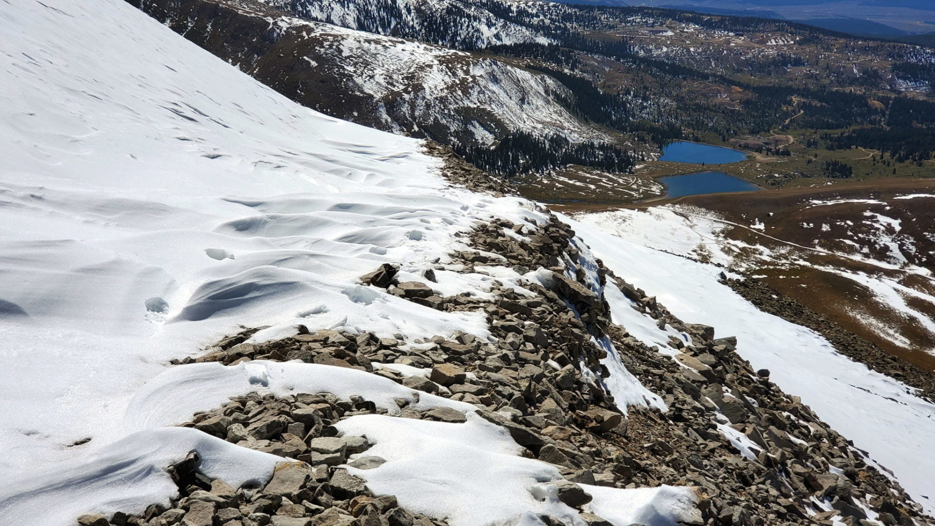
Impossible to get to Leadville (middle right) from the pass
Impossible to get to Leadville (middle right) from the pass
First snow of the season made the west side of the pass to dangerous for vehicles
First snow of the season made the west side of the pass to dangerous for vehicles
Looking east towards Alma and the Front Range
Looking east towards Alma and the Front Range

View west with the Sawatch Range in the distance
View west with the Sawatch Range in the distance

Diamond Lake to the west
Diamond Lake to the west
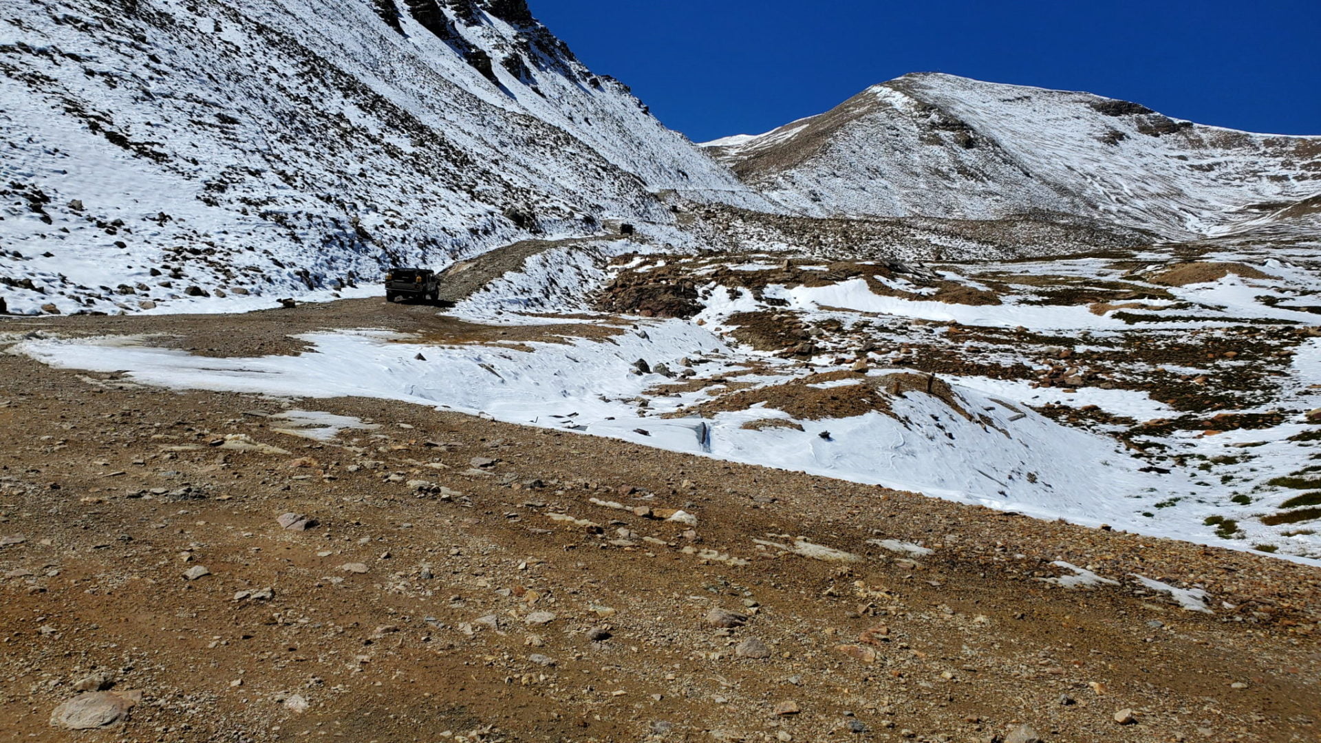
The road traversed up the valley
The road traversed up the valley

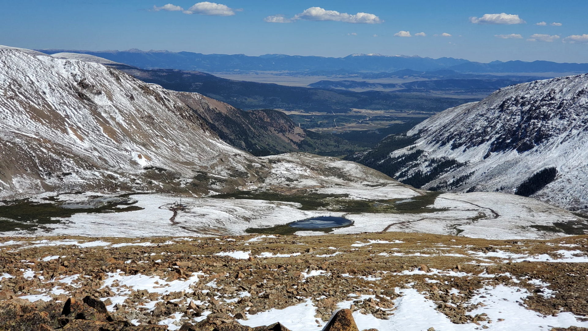
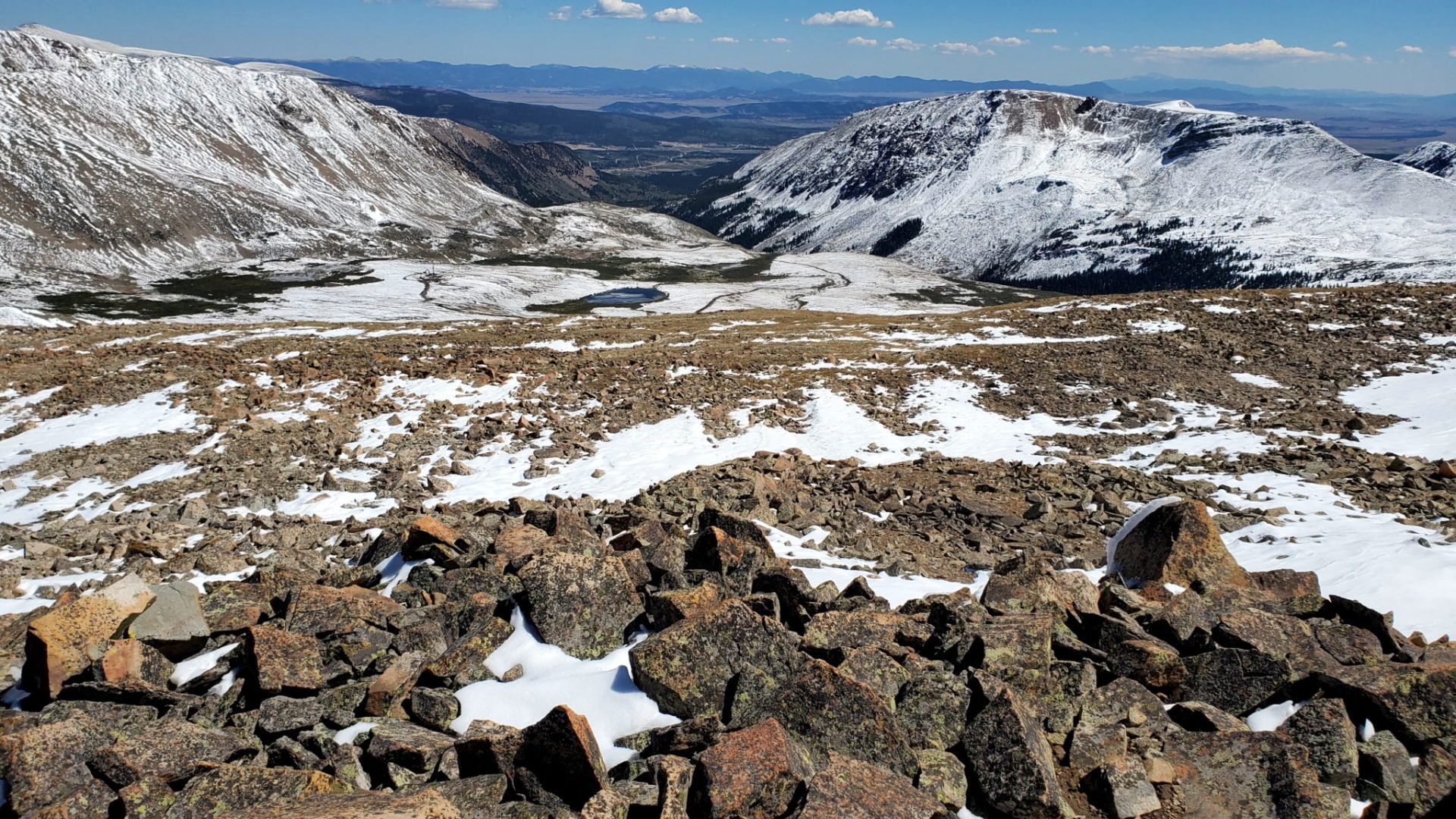
Leadville in the valley below
Leadville in the valley below

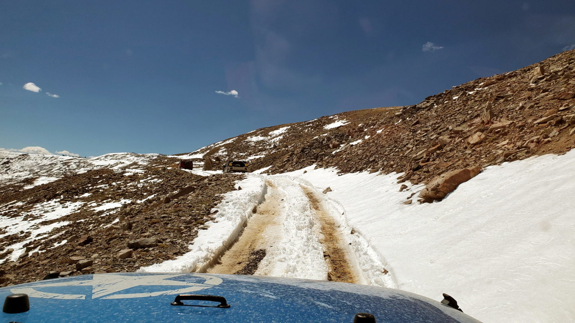
This is not what you want on Mosquito Pass – treacherous road conditions
This is not what you want on Mosquito Pass – treacherous road conditions
Not ideal
Not ideal
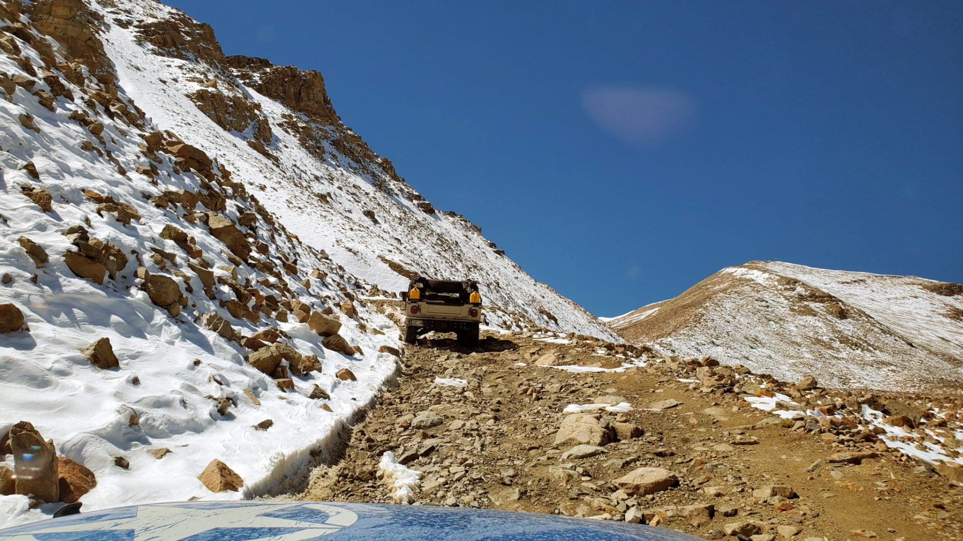
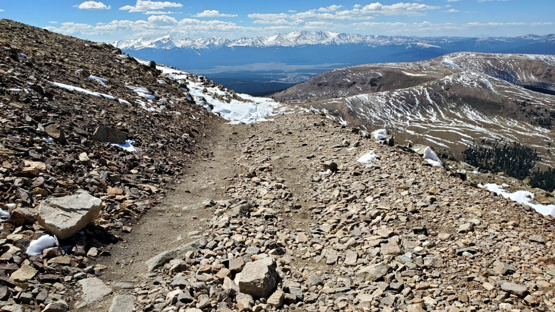
Road becomes very rocky and narrow as you near the pass
Road becomes very rocky and narrow as you near the pass
A couple Hummer’s headed for the pass
A couple Hummer’s headed for the pass
The first snow had fallen three days ago
The first snow had fallen three days ago
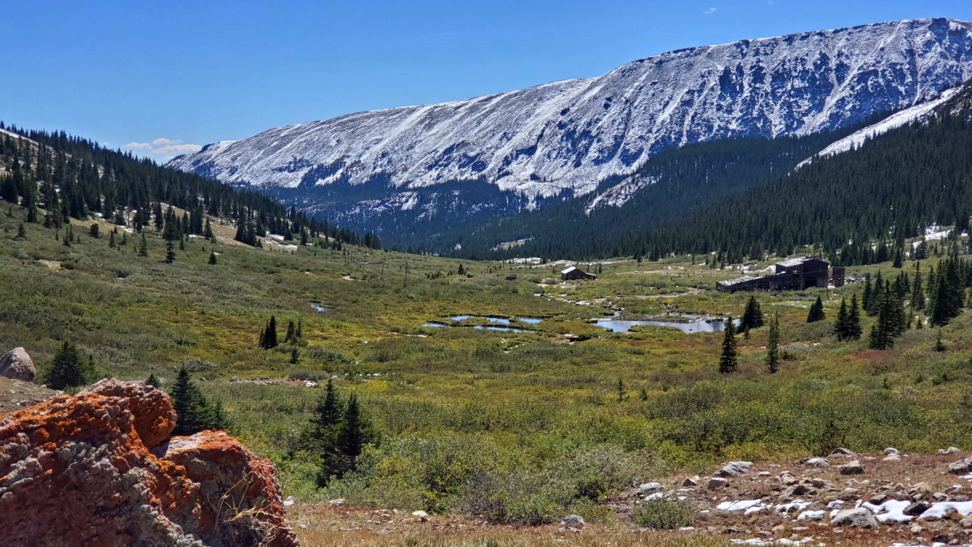
London Mine ruins in the valley above Alma
London Mine ruins in the valley above Alma

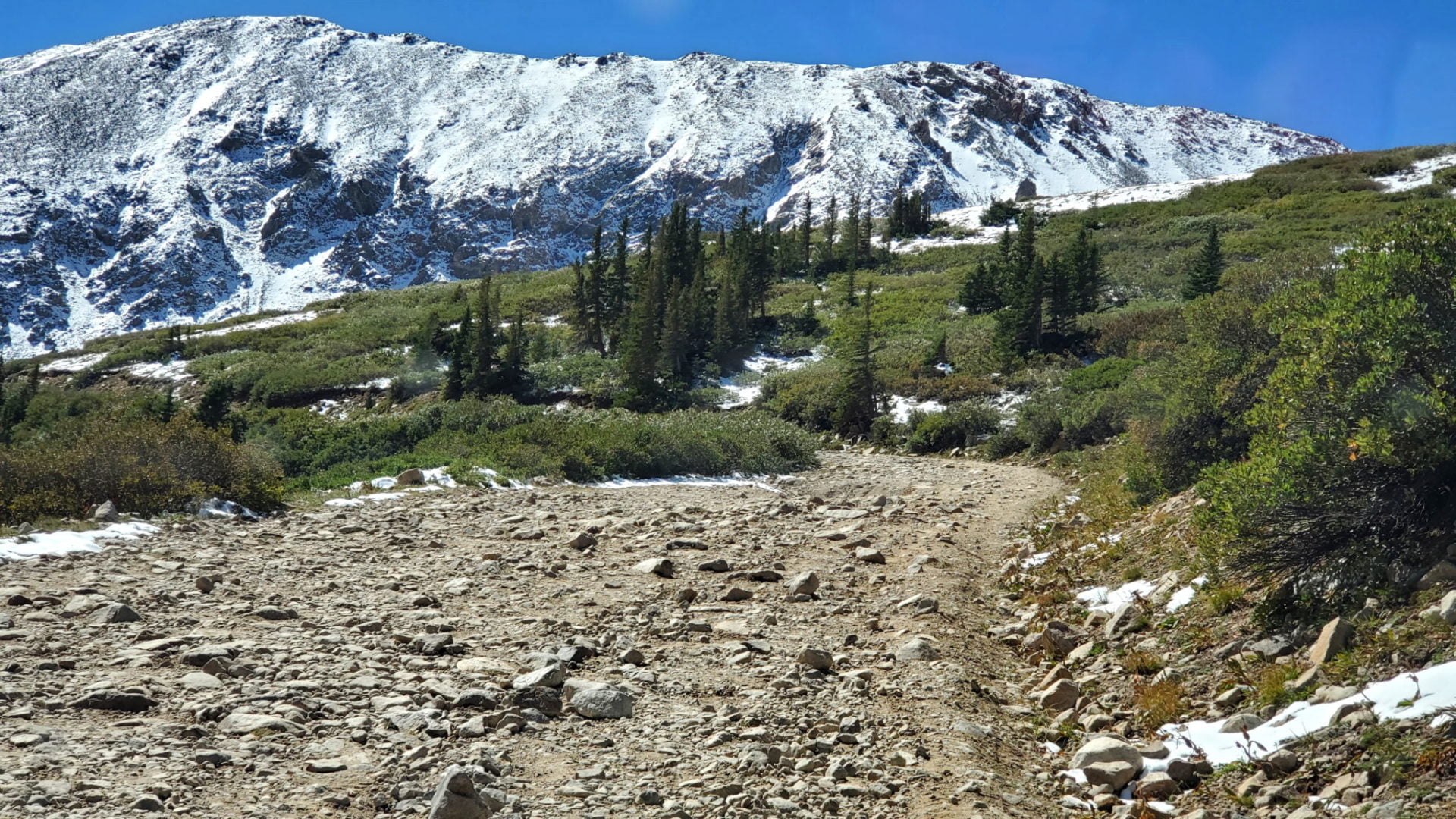
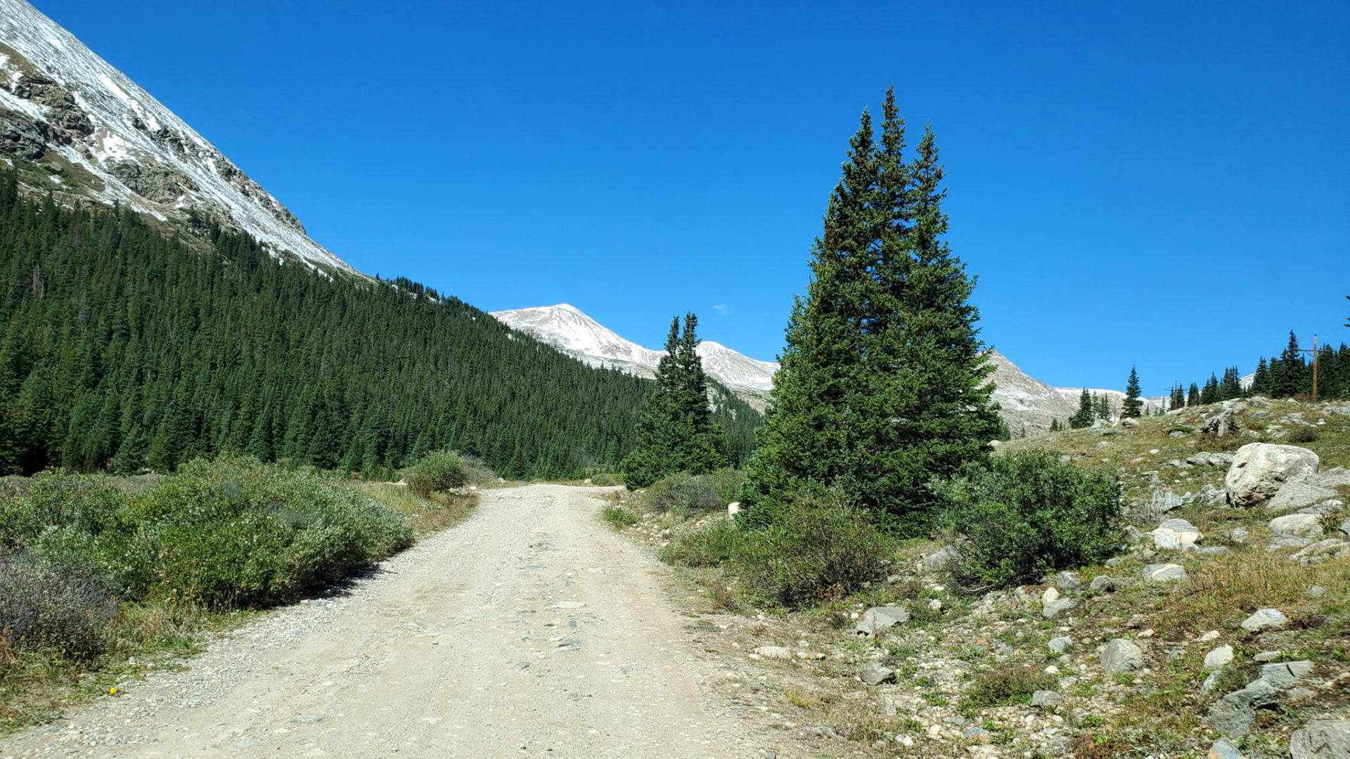
The trail at treeline
The trail at treeline
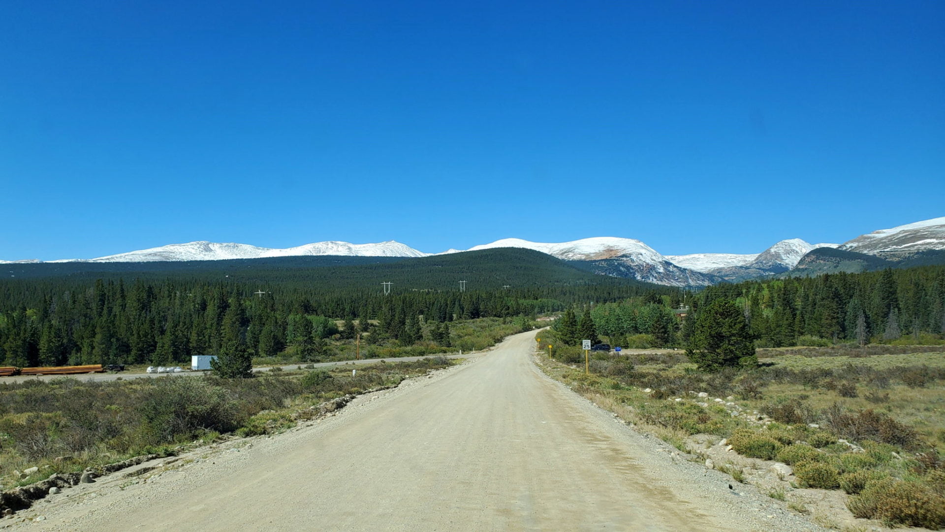
The road ahead
The road ahead
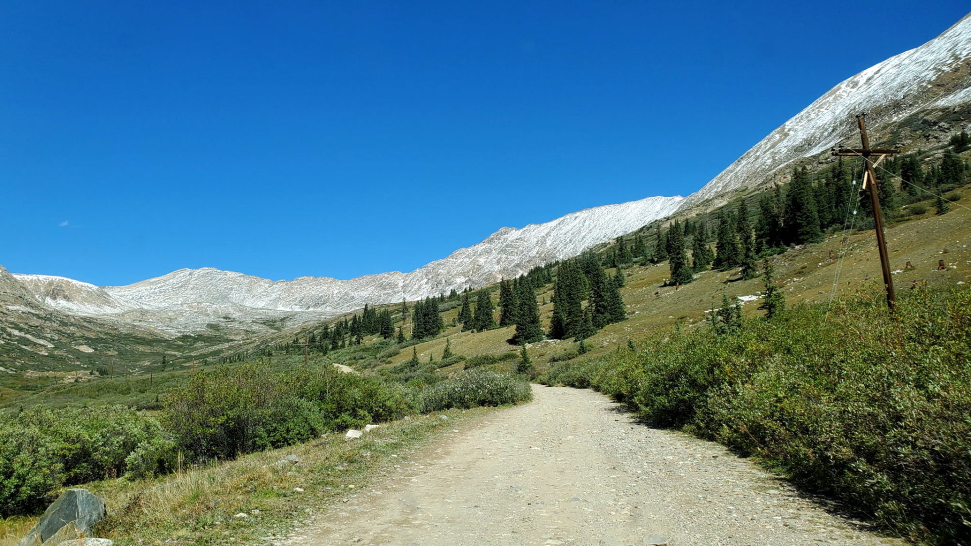
Winding through the Mosquito Range
Winding through the Mosquito Range
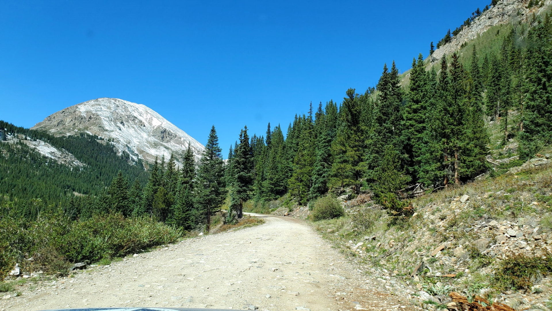
View of Pennsylvania Mountain
View of Pennsylvania Mountain

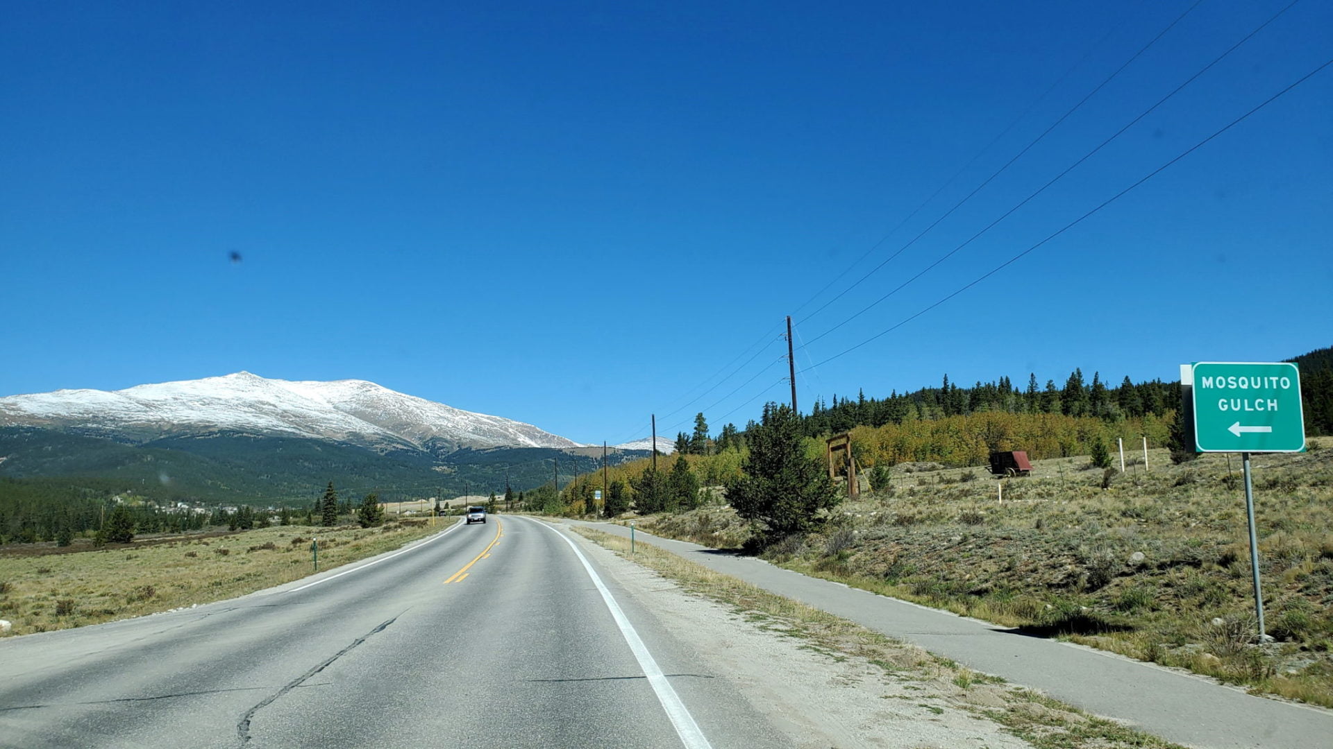
Six miles from Mosquito Pass head tot he right
Six miles from Mosquito Pass head tot he right
Great road conditions on Hwy 12
Great road conditions on Hwy 12
Turnoff from Hwy 9 near Alma
Turnoff from Hwy 9 near Alma
GPS Route with Elevation
Video Tour
Route Directions
From Fairplay, follow Colorado Highway 9 north for 4 1/5 miles to County Road 12 (Mosquito Pass Road) and turn left. The tour begins quickly after turning off Highway 9.
Trailhead Directions
We drove this trail in a Tacoma TRO. It is a harrowing trip for inexperienced 4×4 trail drivers and their passengers; which we are. It took 4 hours from Alma to Leadville. Most of it does not allow passing oncoming vehicles other than smaller atvs. Not for the faint hearted.