Mt Flora (13,146′), Front Range
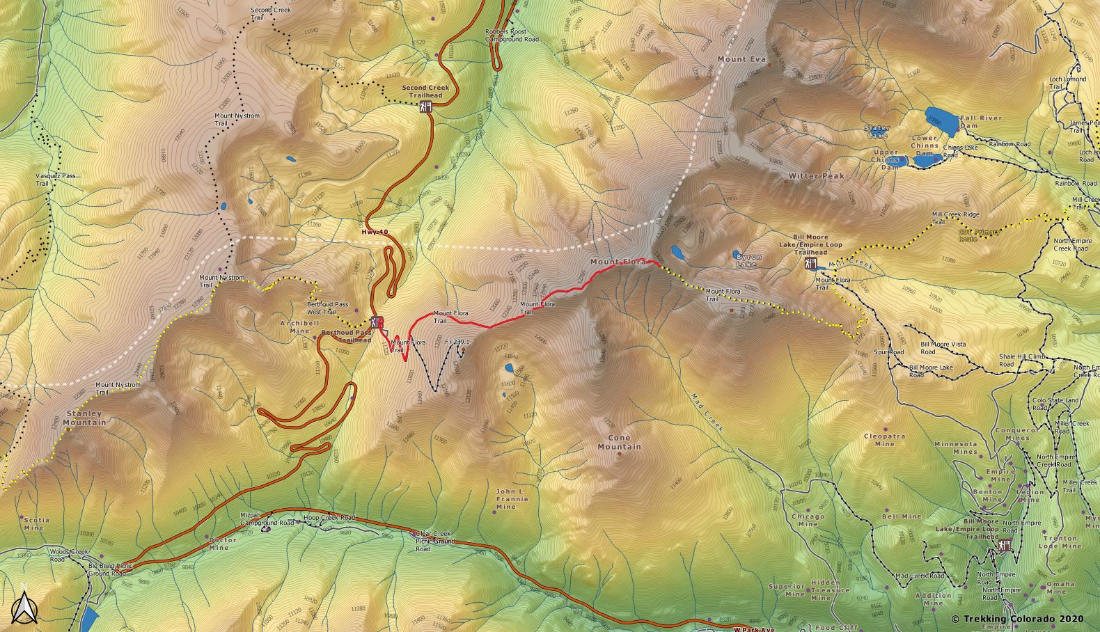
Located within the James Peak Wilderness area, this hike offers a well established trail to the summit. The trailhead at Berthoud Pass also provides convenient access to the trailhead all year because the pass is plowed in winter. As you ascend, you’ll traverse a section of the Continental Divide Trail (CDT), which stretches from Mexico to Canada and offers breathtaking panoramic views of the surrounding peaks and valleys. The final push to the summit greets you with a 360-degree vista encompassing the Indian Peaks, Winter Park, and the Fraser Valley.
Trail Pictures
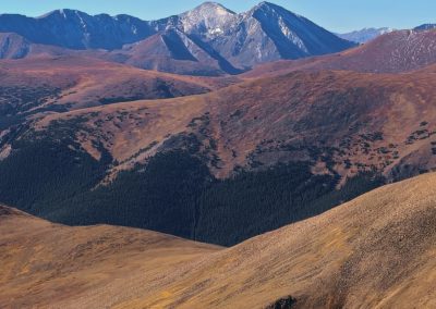
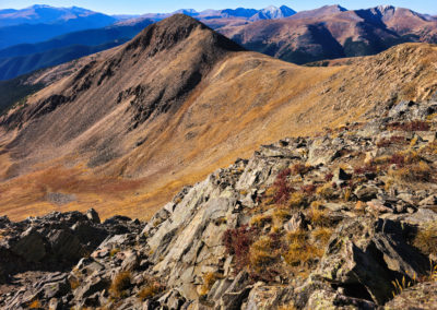
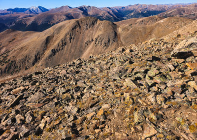
View of Brekinridge Peak from the summit of Mt Flora
View of Brekinridge Peak from the summit of Mt Flora
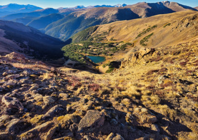
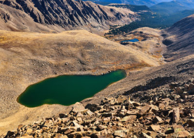
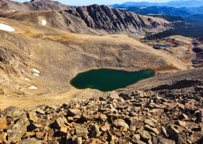
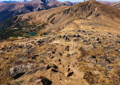
Another view from the summit of Ethel Lake and Byron Lake in the distance
Another view from the summit of Ethel Lake and Byron Lake in the distance
View from the summit of Ethel Lake and Byron Lake in the distance
View from the summit of Ethel Lake and Byron Lake in the distance
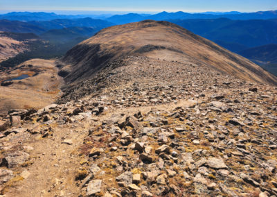
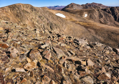
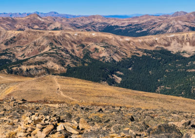
Summit view with Colorado Mines Peak on the left below
Summit view with Colorado Mines Peak on the left below
GPX with Elevation
Video Tour
Trail Directions
Beginning at the Berthoud Pass Parking Lot, the trail begins just beyond the gate to the forest road at the south end of the parking lot. The road is the trail for the first 3/4-mile, where a junction appears on the left at a sharp curve.
Taking this foot-path for another 3/4-mile brings the trail to the ridge overlooking Blue Lake, and looking back right (south), nearly eye-level with Colorado Mines Peak.
Continuing along for approximately 1.5 miles, the trail tops Mt. Flora peak, a small but broad mesa-like rock crop. From here, Ethel Lake and Mill Creek stand out below in the valley. The Continental Divide Trail veers to the right from the summit to descend to Breckenridge Peak.
Trailhead Directions

