St Vrain Mountain Trail (12,162′), Front Range
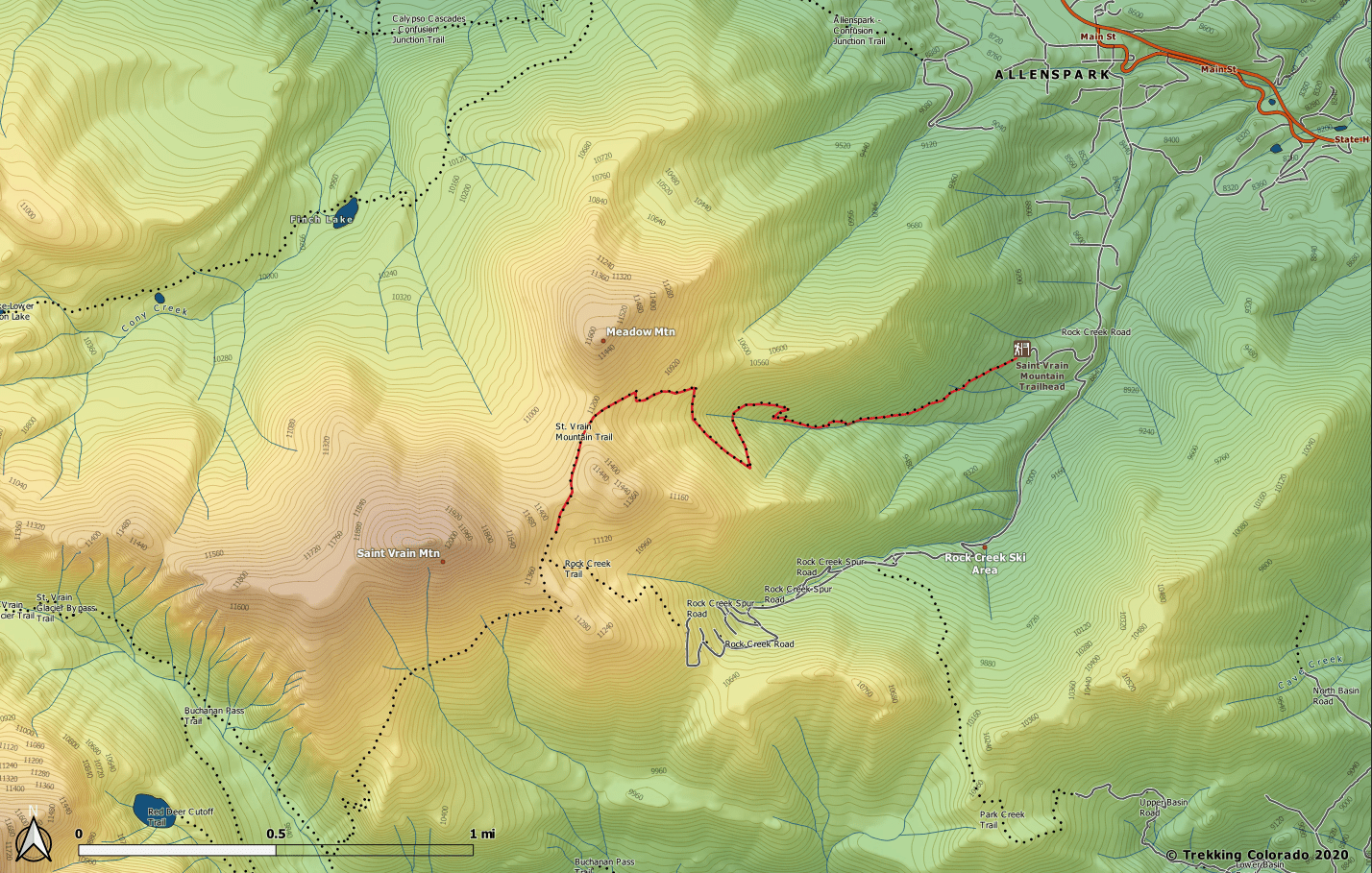
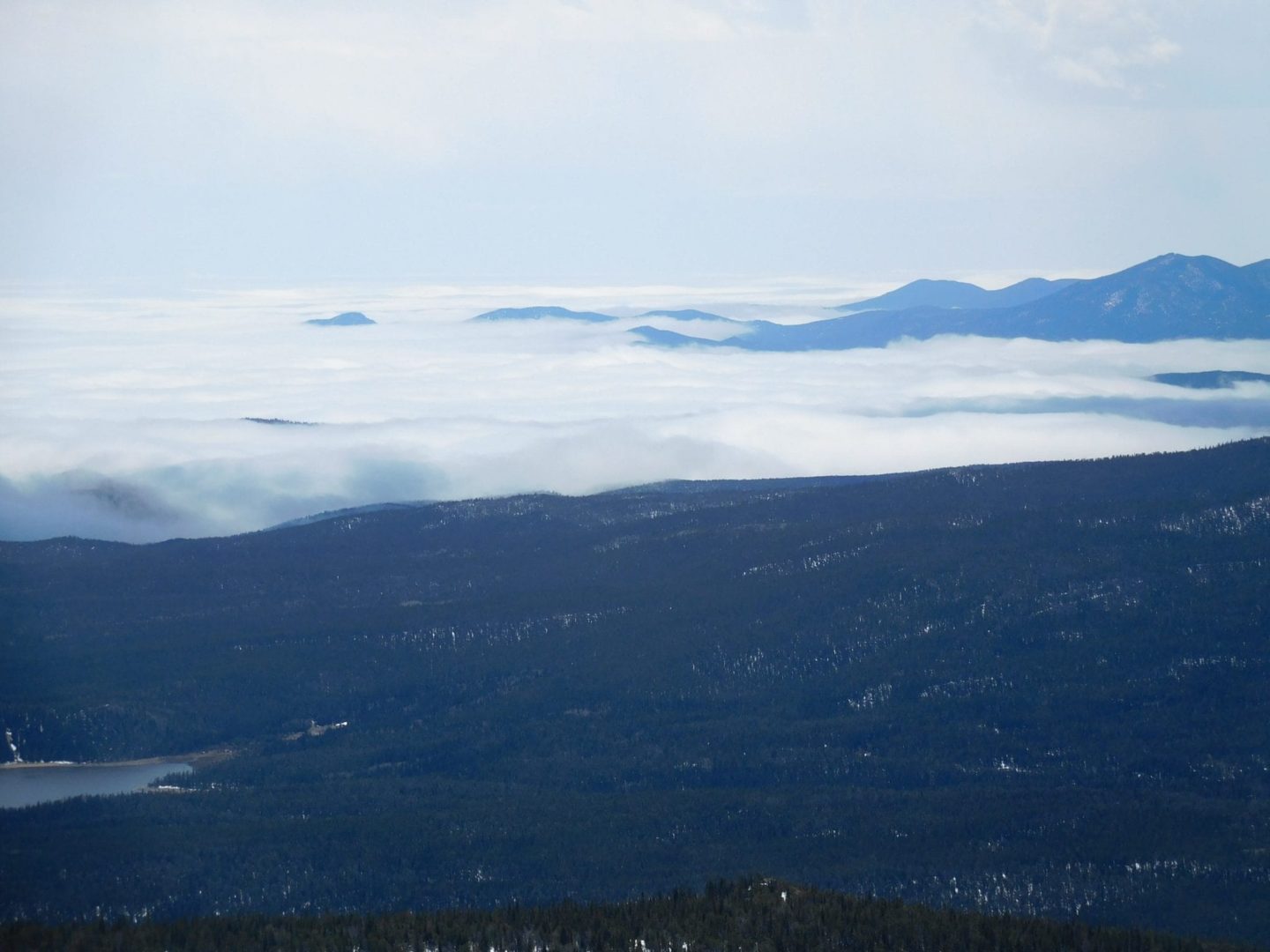
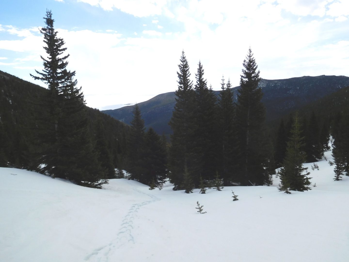
The St Vrain Mountain trail is located just outside the border of the Indian Peaks Wilderness Area to the south, and Rocky Mountain National Park to the north. The trail climbs steeply heading west, just east of the Continental Divide, with views across the Middle St Vrain Creek drainage and the Wild Basin Area of Rocky Mountain National Park.
Trail Stats
- Trailhead: St Vrain Mountain
- Round trip: 9 miles / 14.5 km
- Elevation: 8,940′- 12,162′ / 2,725 m – 3,707 m
- County: Boulder
- Agency: U.S. Forest Service
- Nat’l Wilderness: Indian Peaks
- Nat’l Forest: Lincoln
Trail Pictures
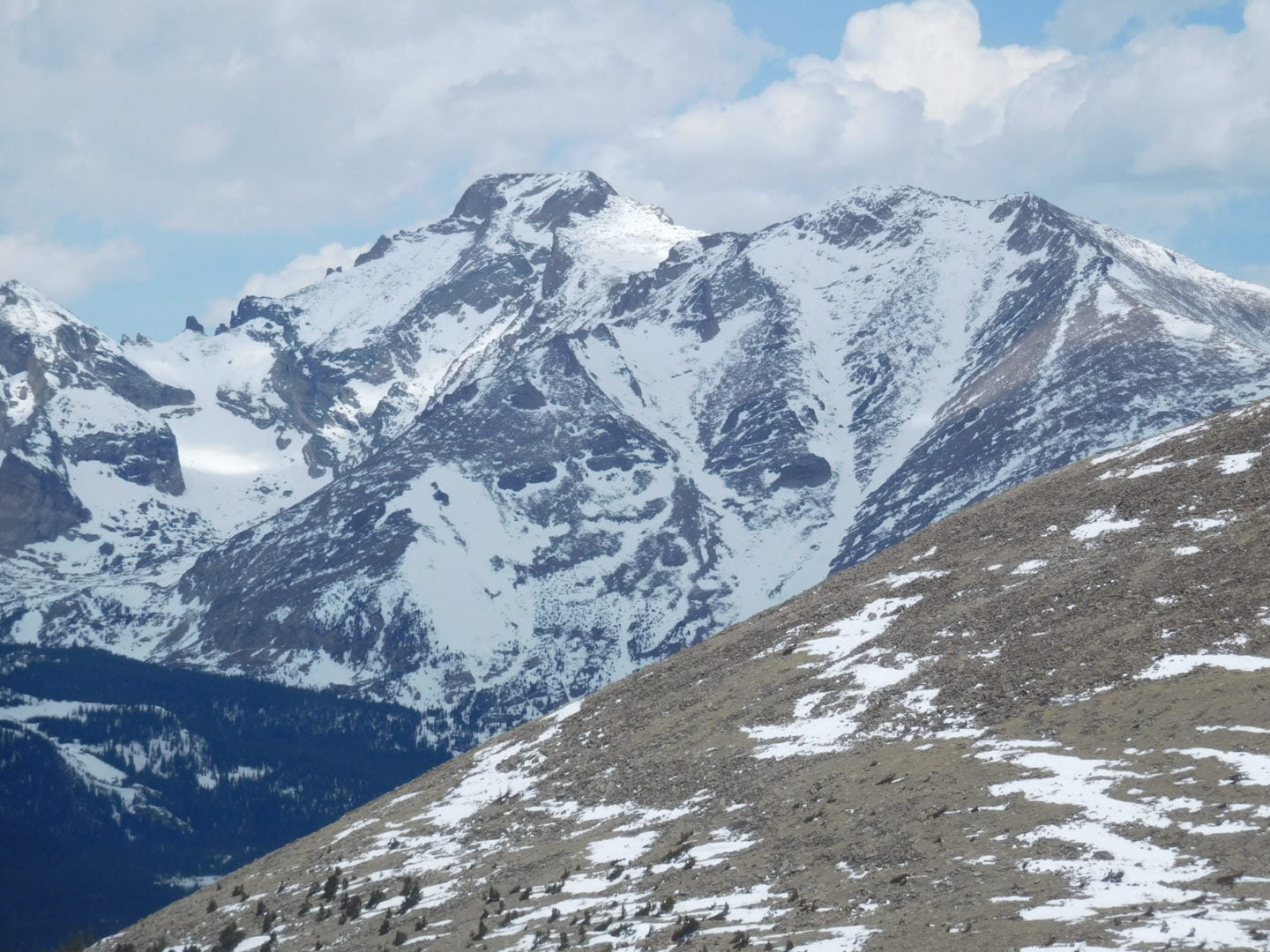
Meadow Mountain with Rocky Mountain National Park in the background
Meadow Mountain with Rocky Mountain National Park in the background
GPS Route with Elevation
Video Tour
Trail Directions
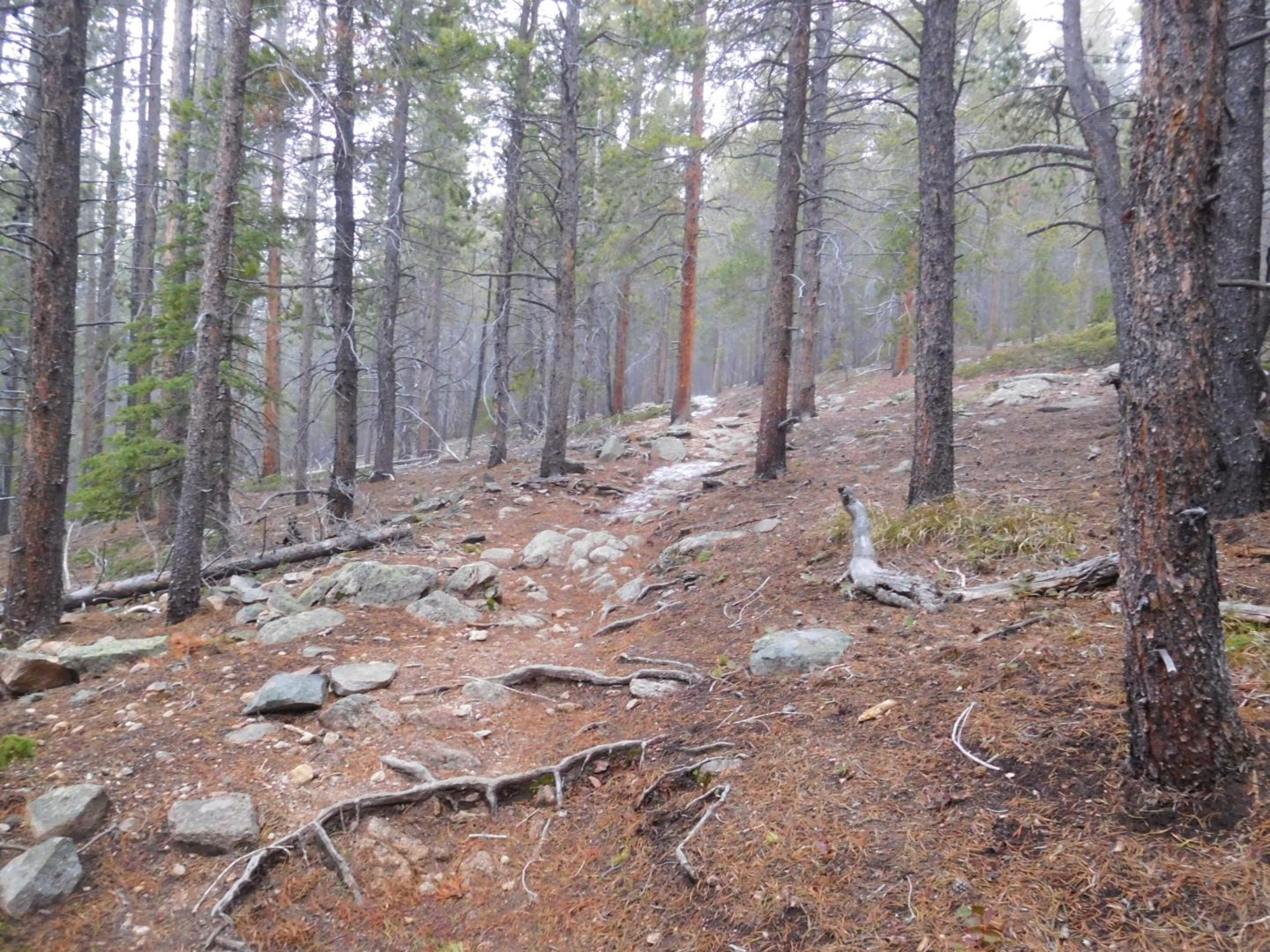
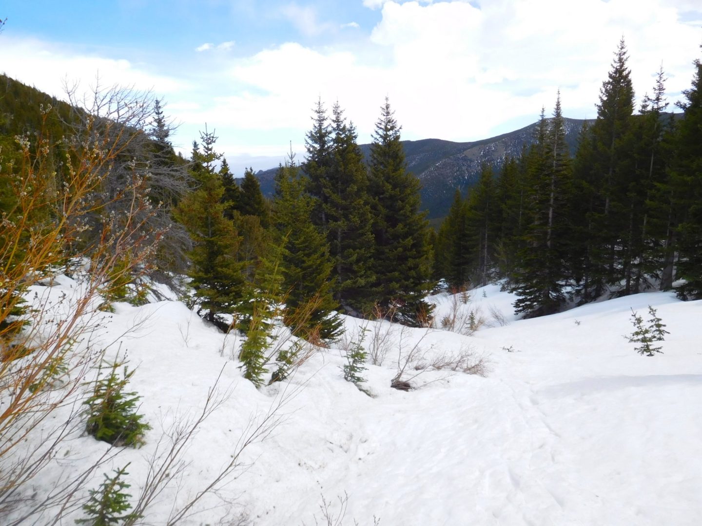
The trail climbs up the valley’s north side to the Indian Peaks Wilderness Boundary. The trail then switchbacks hard left (west) one final time) before turning sharply south across the valley. Grades briefly moderate and then steepen back up the south valley wall, turning sharply south one last time before clearing treeline (2.65 miles : 10,765′).
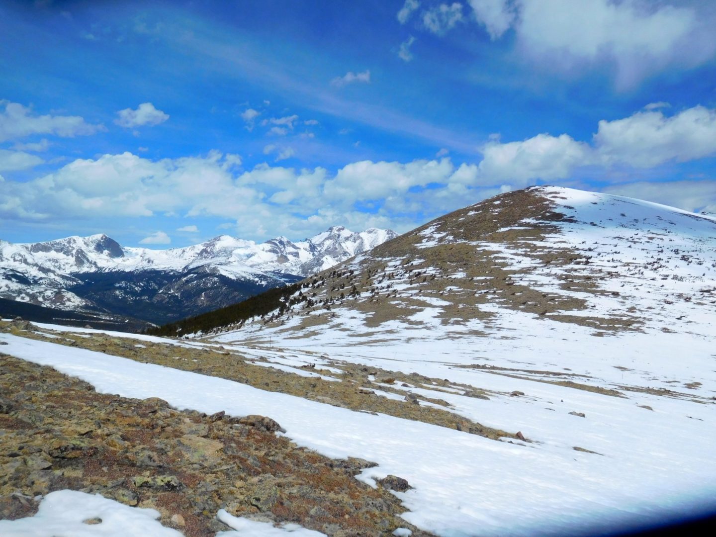
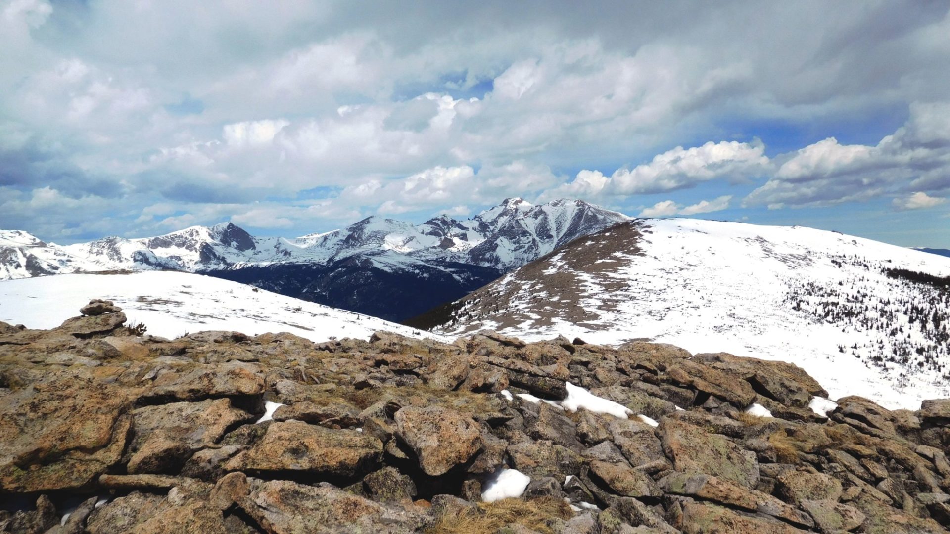
Travel eases along a broad tundra saddle between the shoulders of Meadow Mountain (11,632′), an unnamed peak, and St Vrain Mountain. It reaches the Rocky Mountain National Park Boundary (3.15 miles : 11,180′) and levels for nearly half a mile on a south heading with some of the route’s best views. This section overlooks Rocky Mountain’s Wild Basin Area, Mount Copeland (13,176′), Ouzel Peak (12, 12,716′), Mahana Peak (12,632′), Longs Peak (14,259′) and Mt Meeker (13,911′).
Those not aiming for the summit will be content with views along this stretch. The trail exits Rocky Mountain National Park (3.6 miles : 11,335′) and threads a few pockets of krummholz to an unmarked turnoff for St Vrain Mountain. Leave the main trail (3.65 miles : 11,360′) and aim for a band of krummholz approximately 200 yards away. Once through look for cairns and, most importantly, Indian Peaks – Rocky Mountain National Park Boundary posts to your right (north).
St Vrain Mountain (4.45 miles : 12,162′) is rounded with 2 wind shelters and incredible views. Continuing takes you along its west ridge to the Elk Tooth formation and base of Ogallala Peak (13,138′) on the Divide.
Trailhead Directions

