Mt Rosa (11,500′), Front Range
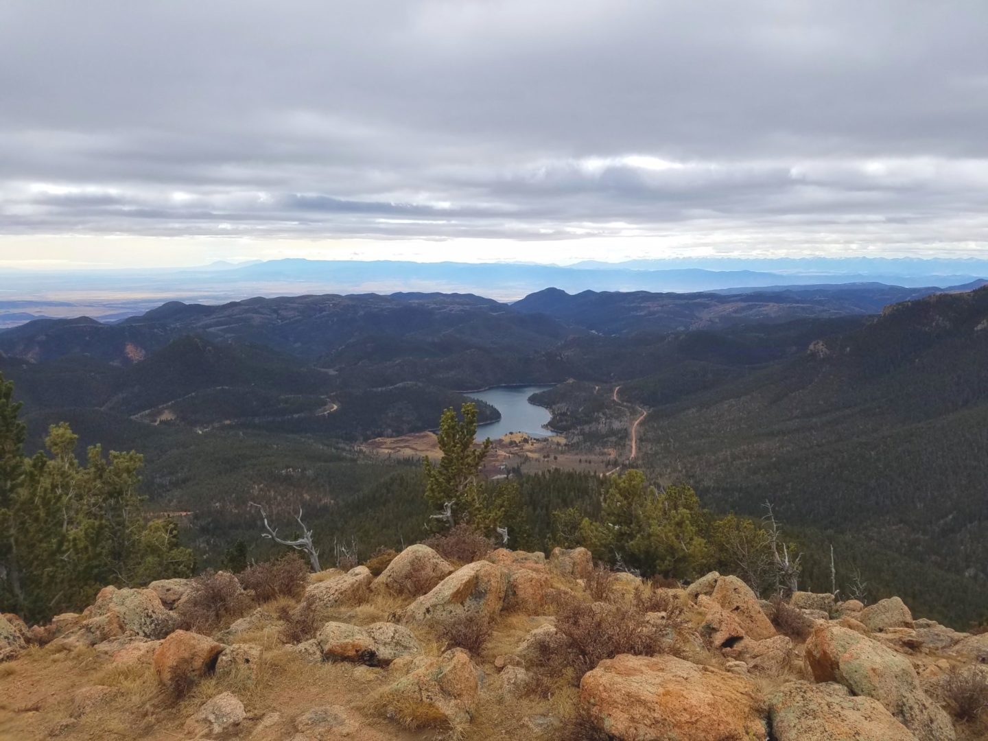
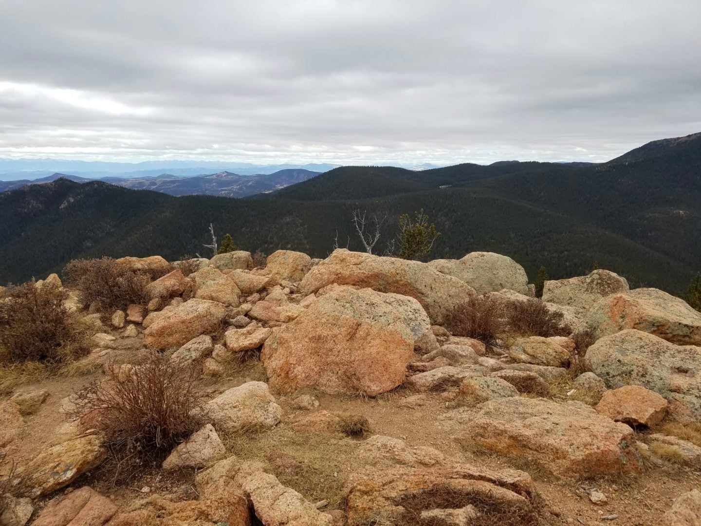
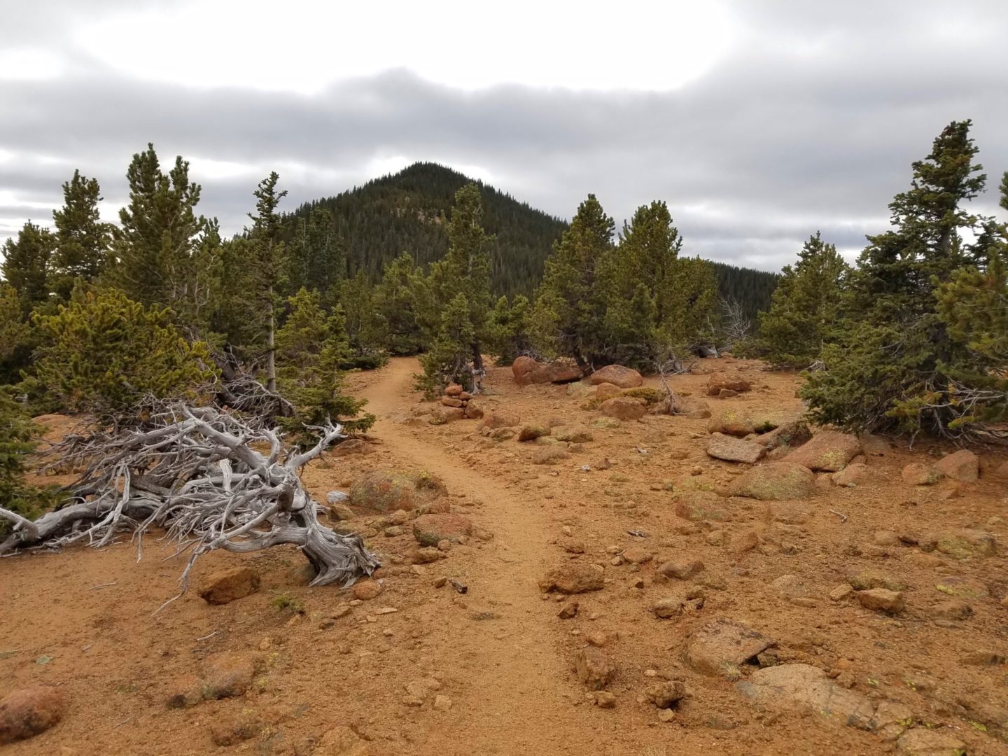
Mt Rosa is located in the Pike National Forest just south of Pikes Peak and is the only cone shaped summit in the area. This provides rare unobstructed 360 degree views from it’s small but lofty summit, one mile above Colorado Springs.
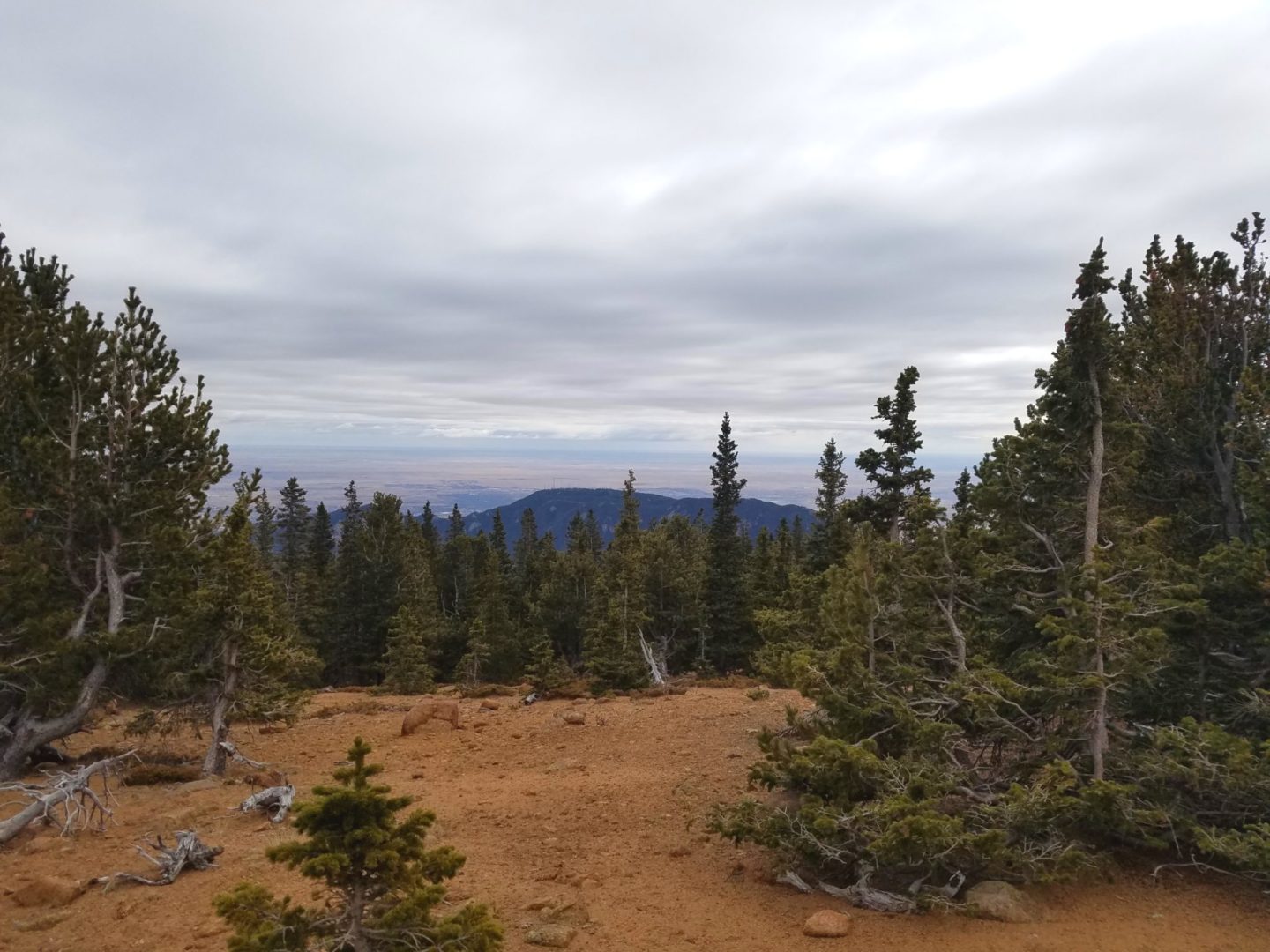
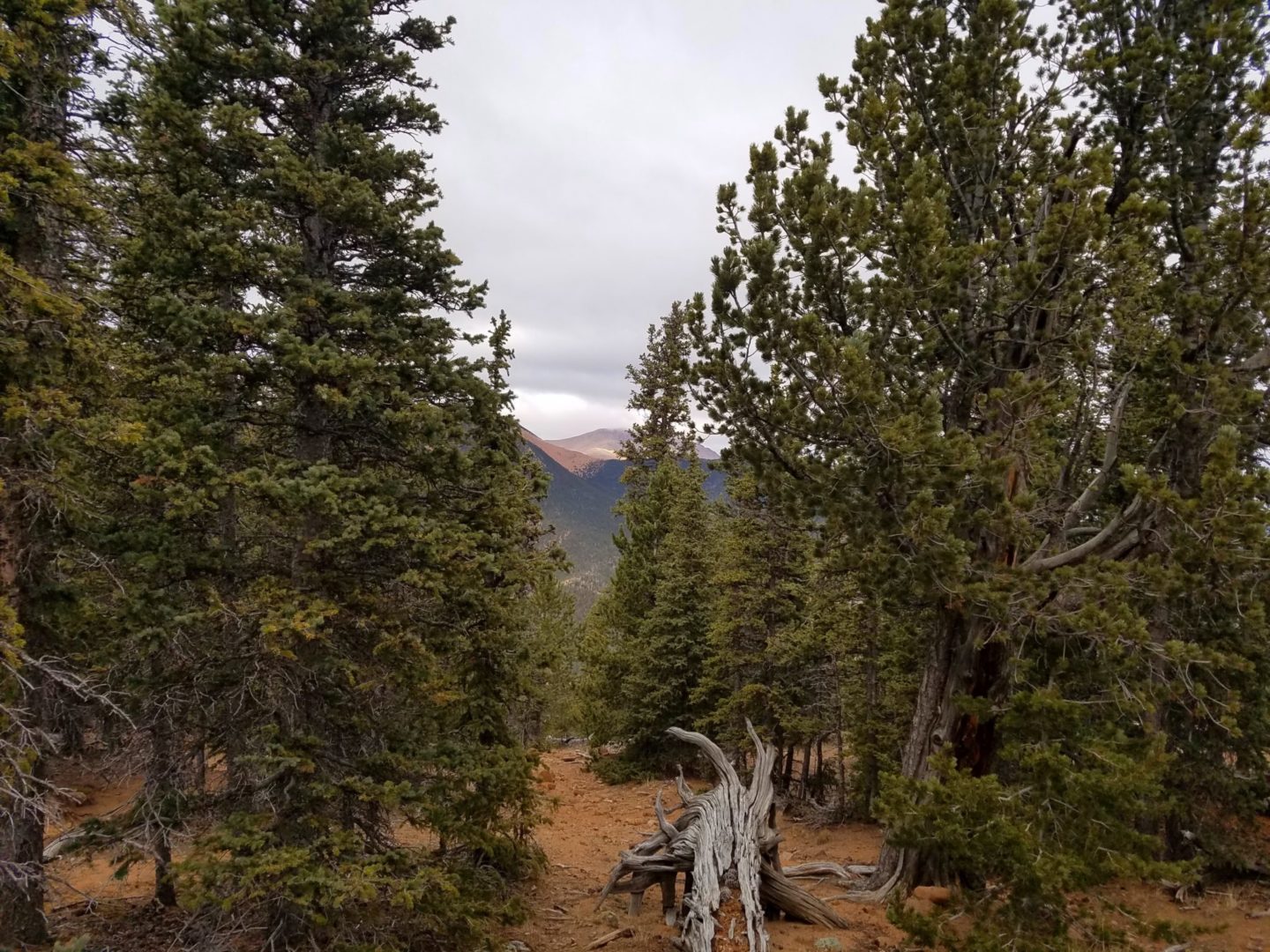
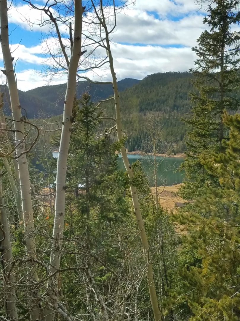
From it’s summit you can see Rosemount Reservoir, Pikes Peak, Almagre Mountain, Cheyenne Mountain, and the Sangre de Cristo mountain range to the southwest.
The mountain was named for Rose Kingsley, an aristocratic young English woman who lived in Colorado Springs and started its first library. She was an avid hiker, and earned the nickname Rosa del Mont, or Rose of the Mount.
Trail Stats
- Destination: Mt Rosa
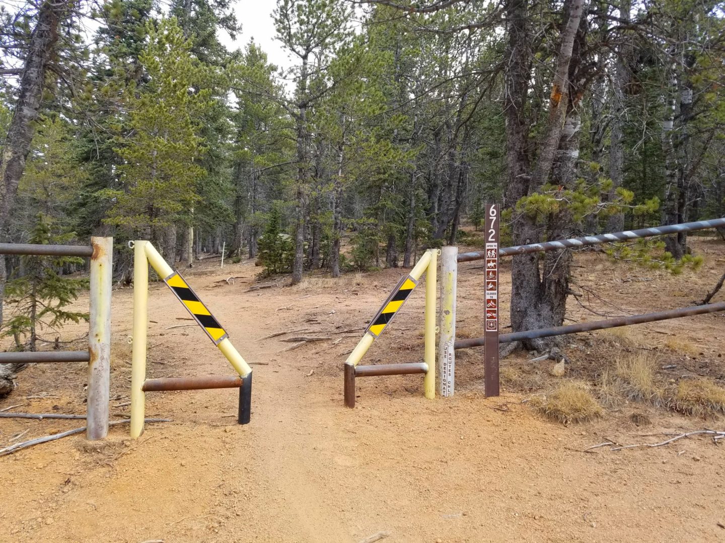
- Trailhead: Trail 672
- Round trip: 5 miles / 8 km
- Elevation: 10,370 – 11,500 / 3,161 m – 3,505 m
- County: El Paso
- Agency: U.S. Forest Service
- Nat’l Forest: Pike
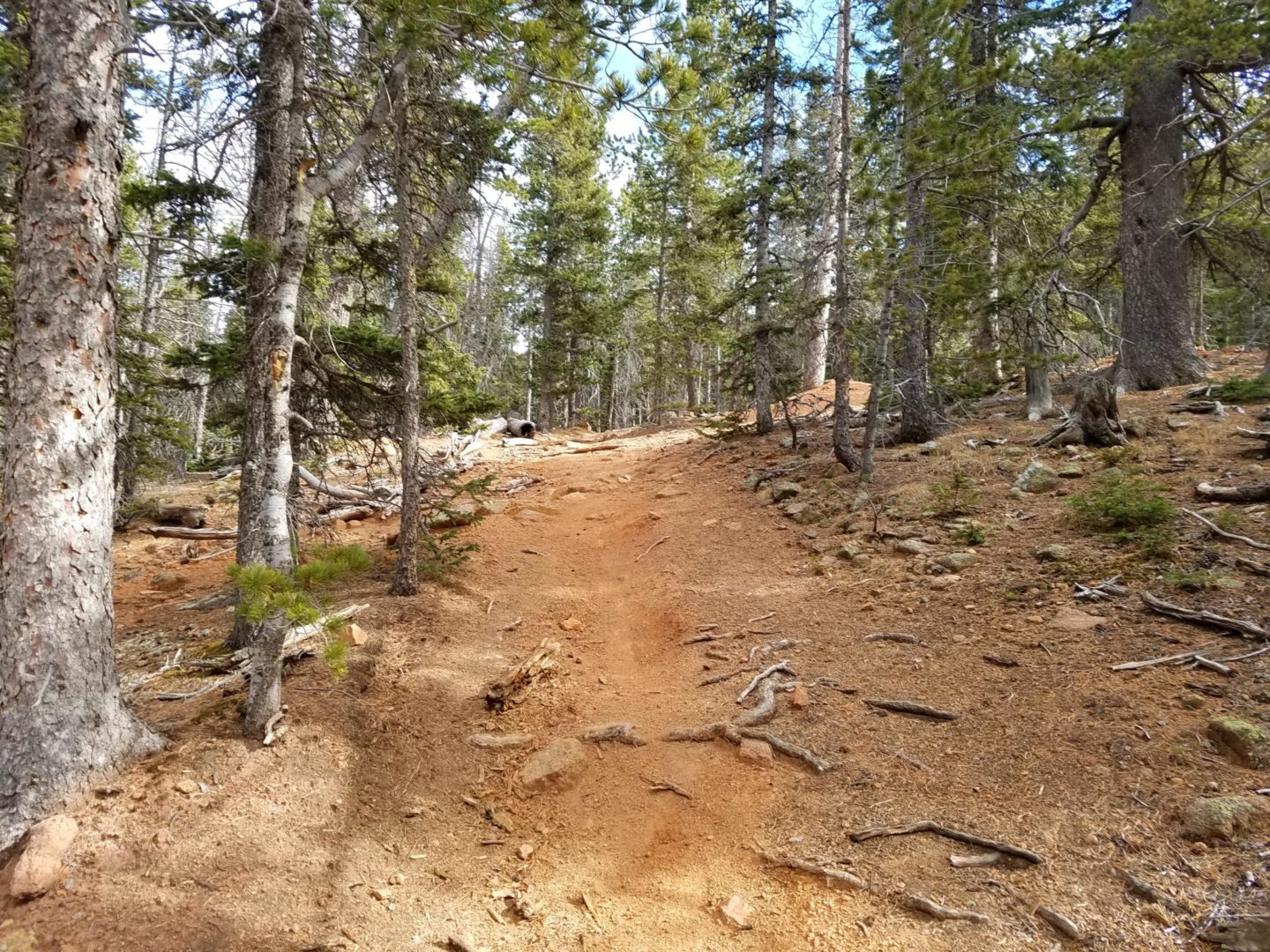
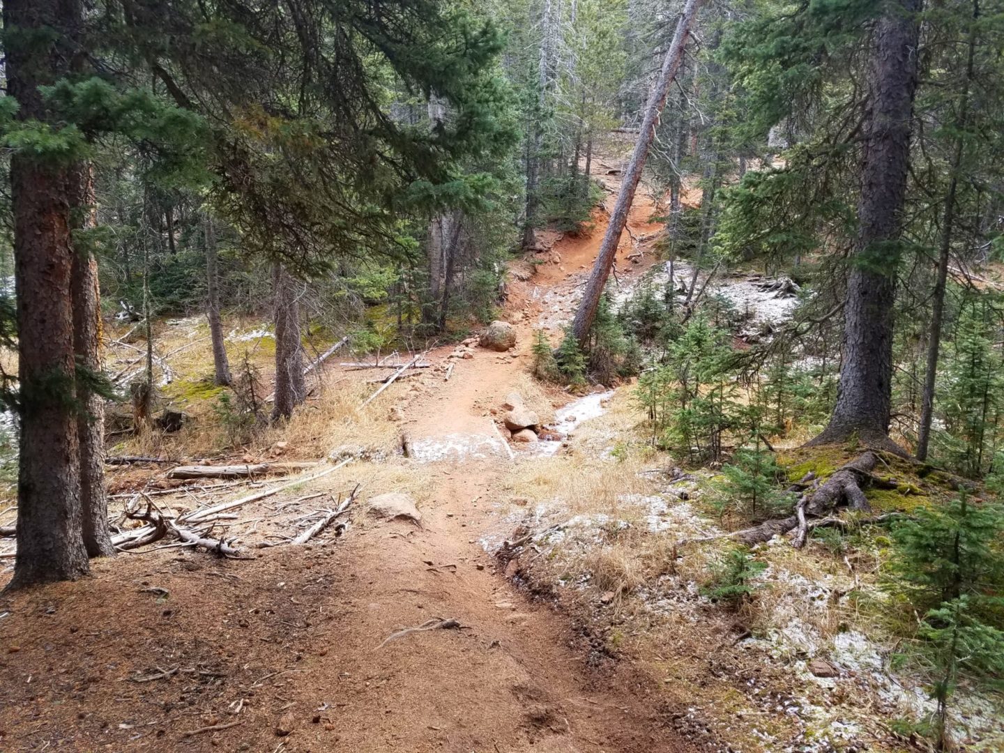
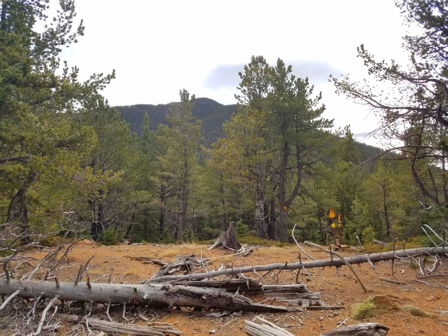
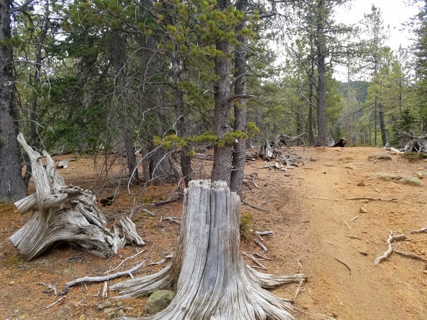
Trail Pictures
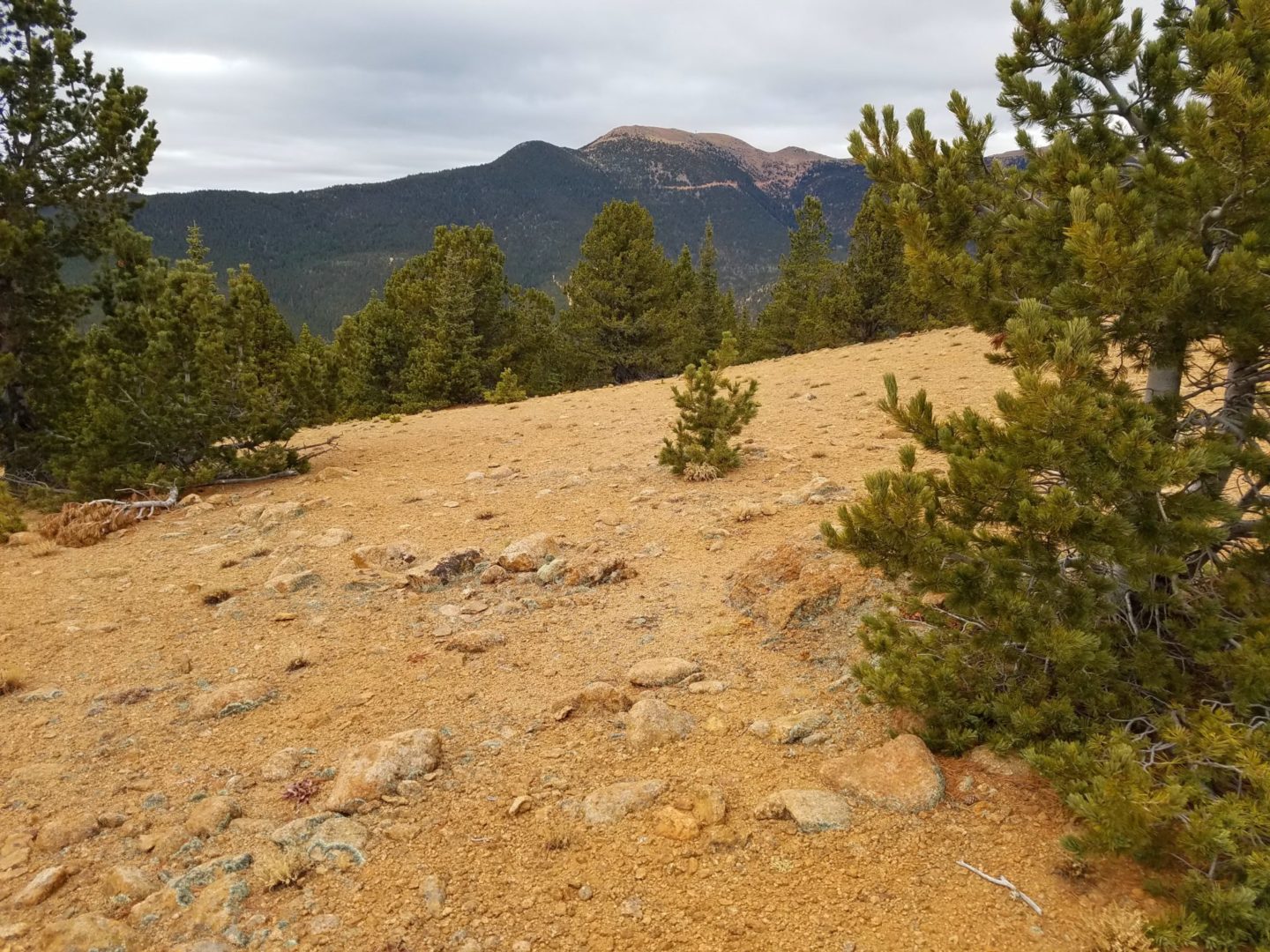
Pike Peak in the background, with Almagre Mountain in the foreground
Pike Peak in the background, with Almagre Mountain in the foreground
GPS Route with Elevation
Video Tour
Trail Directions
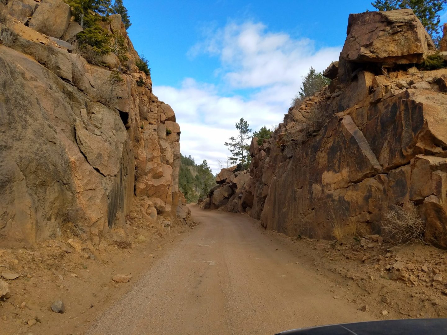
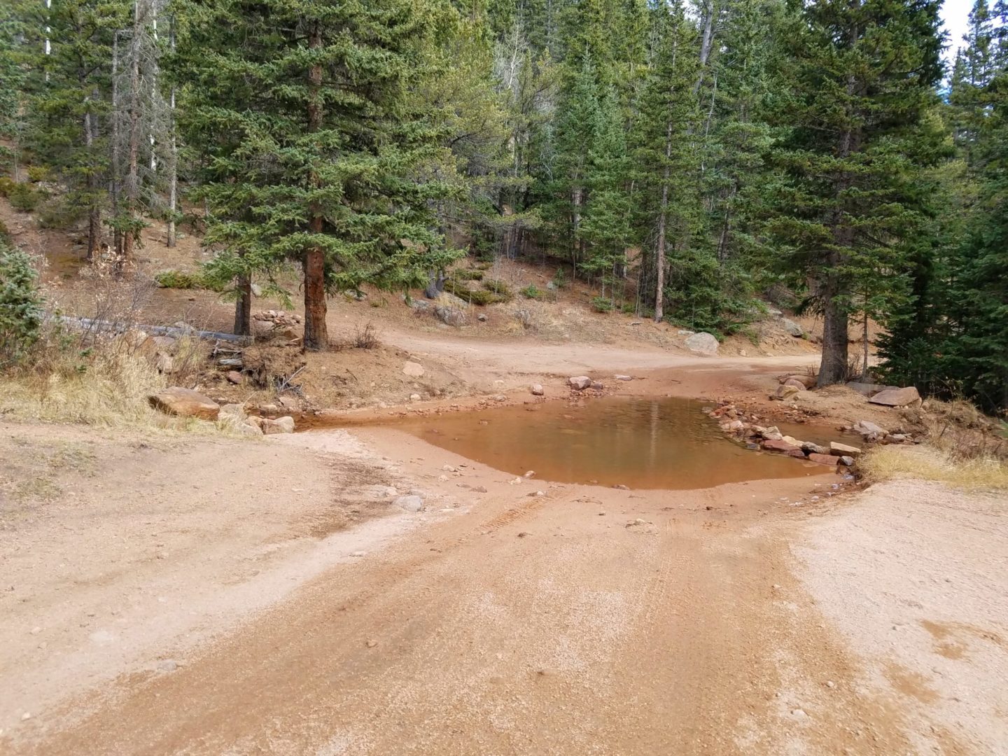
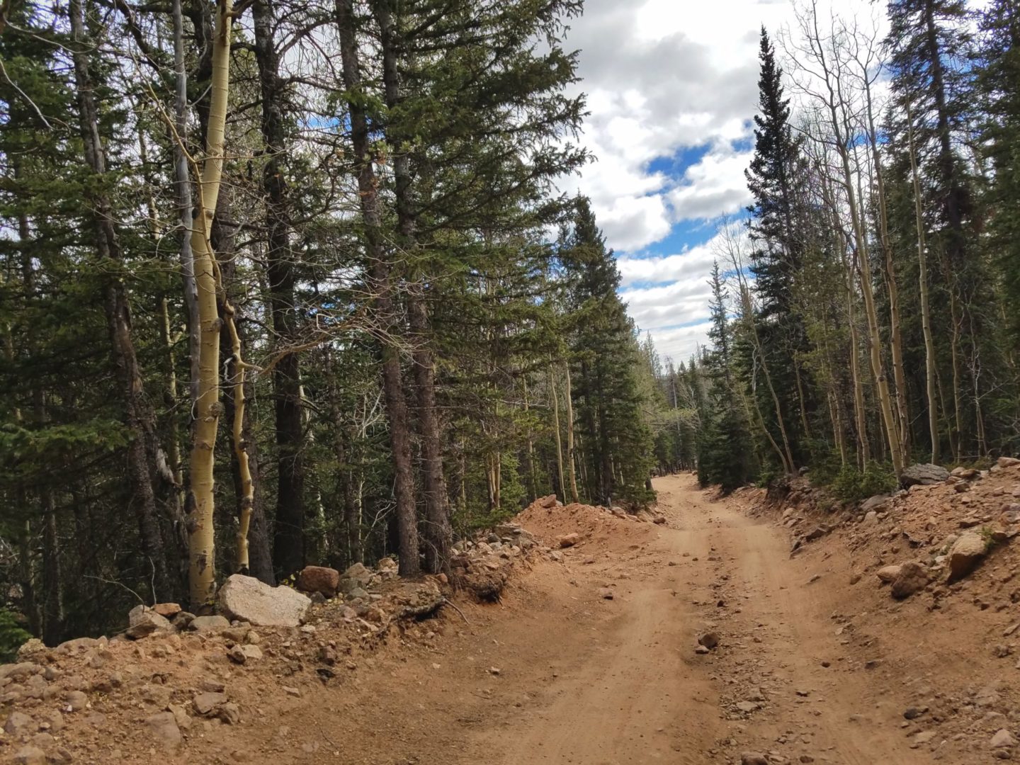
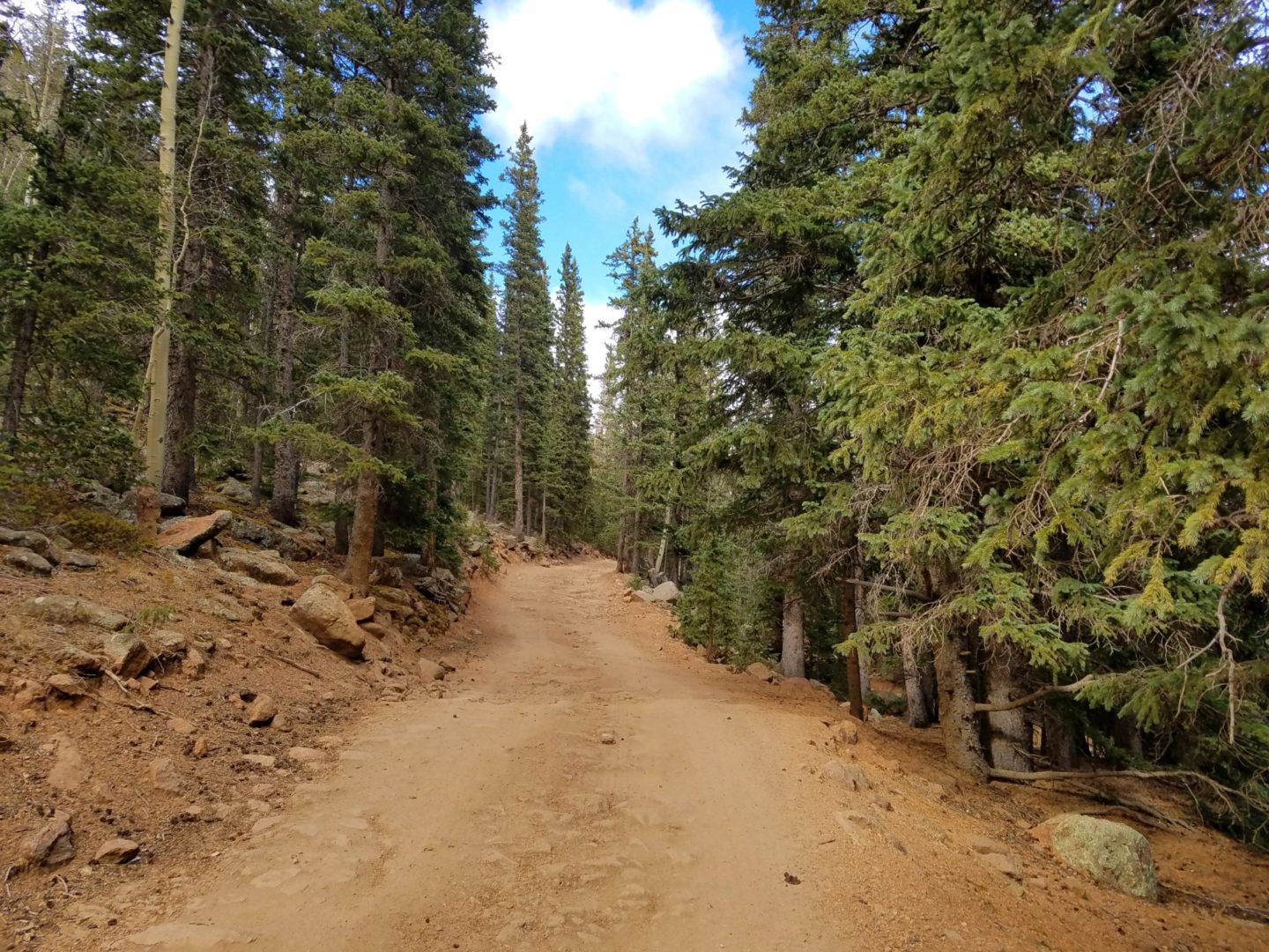
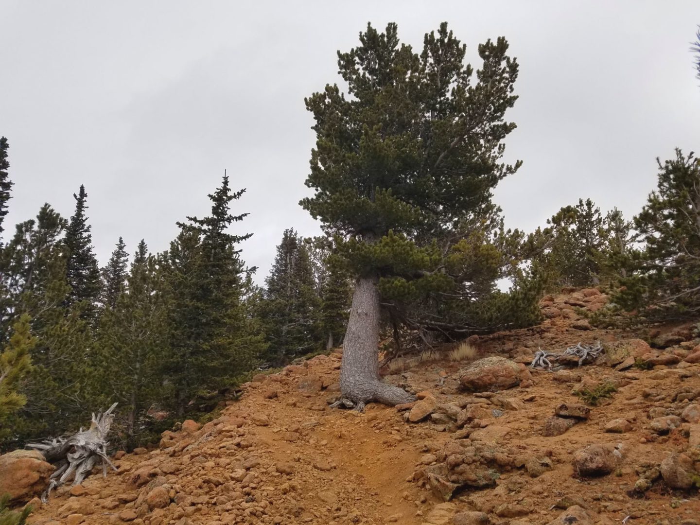
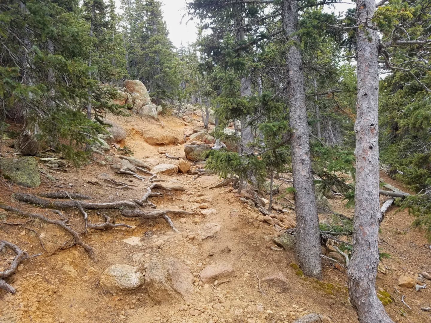
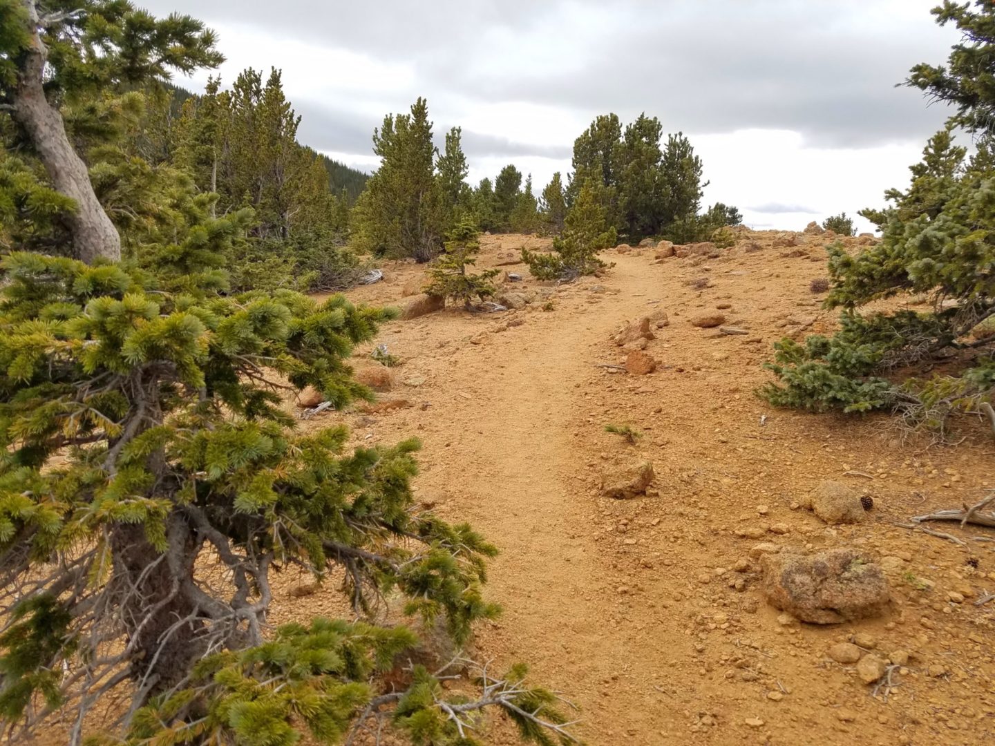
From Old Stage Road, turn onto Forest Service Road 379, which goes to Frosty’s Park. You MUST have a high clearance vehicle to proceed the last 1.5 miles up the road to Frosty’s Park. After the meadow turn right and hike along Trail No. 672, also known as Nelson’s Trail, for less than 2 miles. Turn right on Trail No. 673, which pushes steeply up .75 miles to the small rocky summit.
Trailhead Directions






Hi, mlz2000! Yet another great trail for hikers to discover! These photos look beautiful, I`m sure that many people will find it inspirational for going on this adventure themselves. I was wondering, how difficult will you consider this trail?
Thanks Nigel! Difficulty is so subjective, but I would rate this as moderate because you have a well defined trail, but it is a steady elevation climb. Give yourself 2 hours at a leisurely pace with breaks and you will be on the summit. Hope that helps.