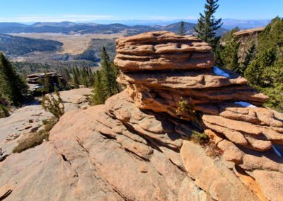
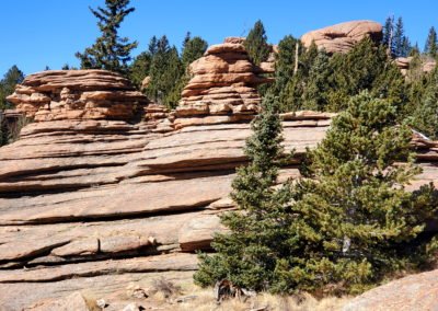
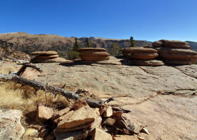
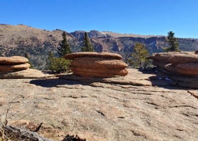
Pancake Rocks (11,060′), Front Range
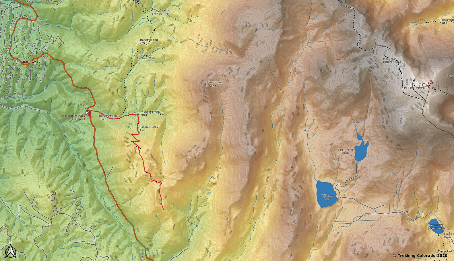
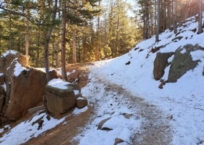
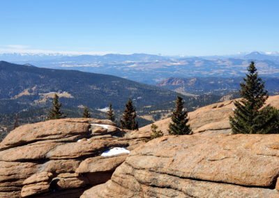
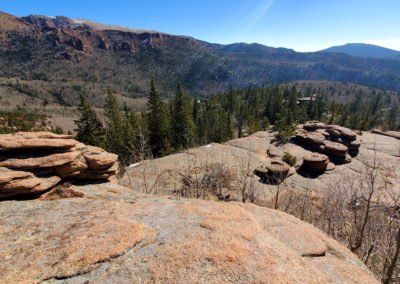
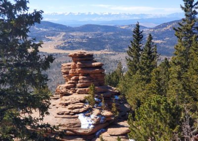
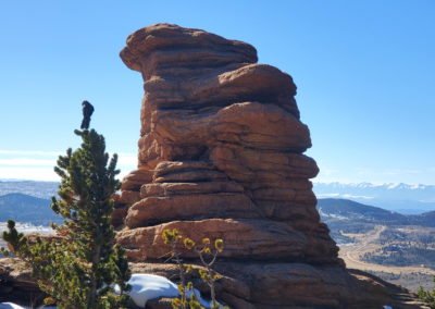
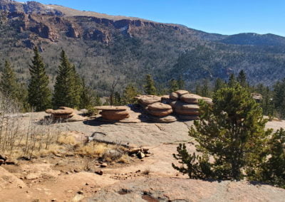
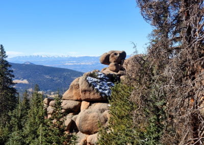
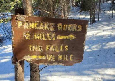
Pancake Rocks Trail shares the trailhead used to reach Horsethief Falls for the first .7 miles. The trail climbs trough heavy forest before leveling out near the two trail junctions. At the second junction you can go straight for a .5 mile trip to Horsethief Falls, or turn right to reach the interesting stacked pancake looking granite formations 2 miles away.
The Crags are also nearby and a great hike to a scenic overlook.
Trail Stats
- Trailhead: Horsethief Park Trail
- Round trip: 7 miles / 11.3 km
- Elevation: 9,680′ – 11,060′ / 2,950 m – 3,371 m
- County: Teller
- Agency: U.S. Forest Service
- Nat’l Forest: Pike
Trail Pictures
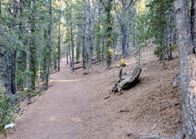
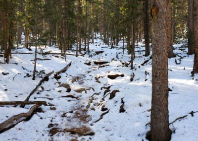
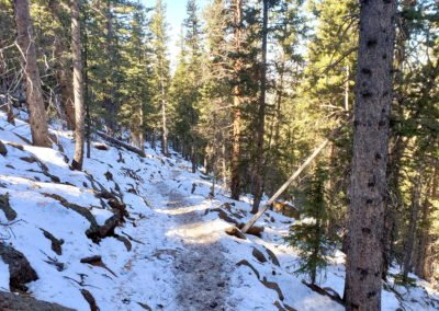
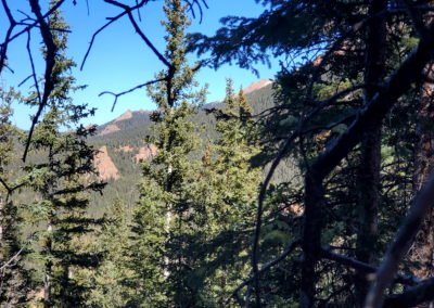
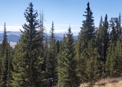
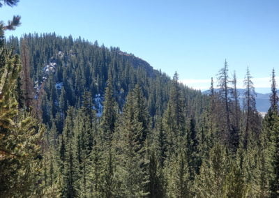
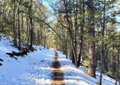
The trail becomes steep again with switchbacks through the forest
The trail becomes steep again with switchbacks through the forest
GPS Route with Elevation
Video Tour
Trail Directions
The trail starts on the SE corner of the parking lot. Trail #704 to Horsethief Park begins by climbing steeply into a dense forest. Once the terrain levels out you come across a left turn marked with a ring-the-peak signpost. Say straight at the junction to continue to Horsethief Falls.
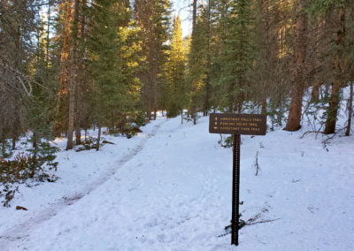
There is ample signage at the second trail junction, where you will head to the right (south) up Pancake Rocks Trail. The are many switchbacks and the trail is steep.
Once you gain the ridgeline, the rest of the hike is on easier terrain. The trail winds along the ridge and drops in elevation before reaching Pancake Rocks.
Trailhead Directions

