Spruce Mountain (7,635′), Front Range
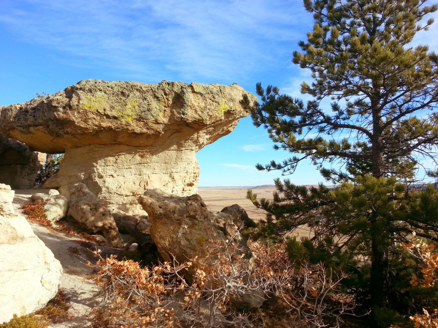
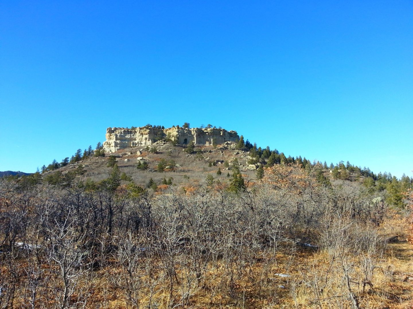
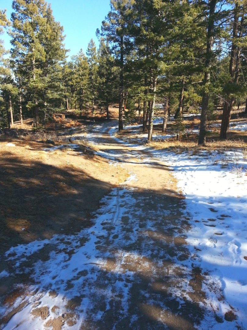
Spruce Mountain is located on the Palmer Divide, on the eastern fringe of the Front Range. The top of the mesa offers great views of the Palmer Divide, with interesting sandstone formations along the trail. Hiking to the upper loop is a quick climb through shady forests to a well maintained trail that circles the top of the mesa.
There are abundant outdoor opportunities in the area, including Mt Herman and Devils Head Lookout.
Trail Stats
- Trailhead: Spruce Mountain
- Round trip: 6.5 miles / 10.5km (can do much shorter routes)
- Elevation: 7,270′ – 7,635′ / 2,216 m – 2,327 m
- County: Douglas
- Agency: Douglas County
- Open Space: Spruce Mountain
Trail Pictures
GPS Route with Elevation
Video Tour
Trail Directions
The Spruce Mountain Trail switchbacks 400 feet up the north side of the mesa. Once you reach the Upper Loop Junction, you’ll be hiking on a fairly flat 1.7 mile loop.
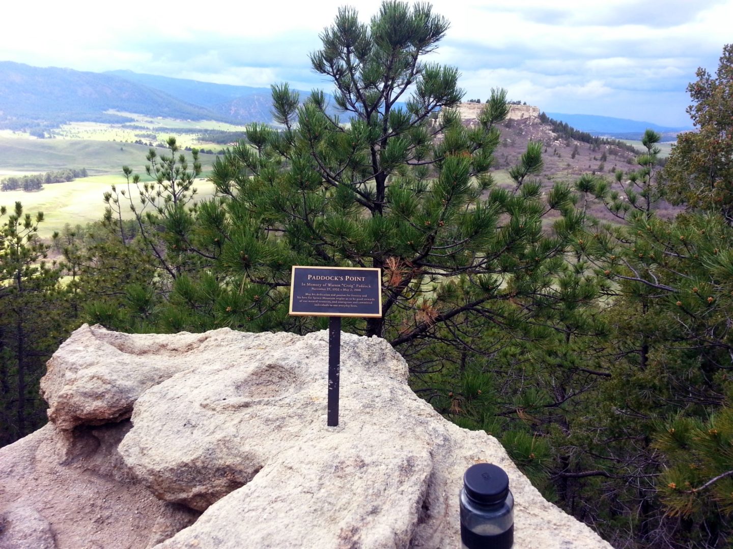
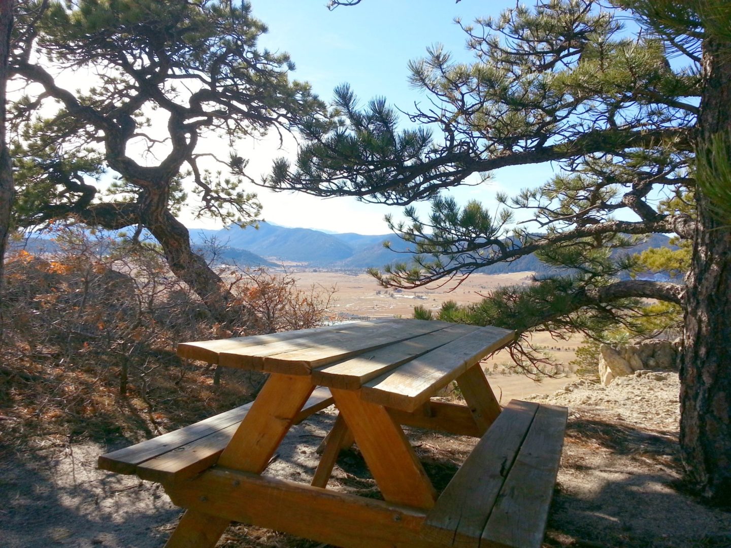
Along the top, be sure to take in the views from several rocky overlooks. The first lookout offers views of the Greenland Trail and Greenland Open Space below. You also have great views of Pikes Peak and the Palmer Divide. Douglas County provides a brochure for trail maps and additional information.
Trailhead Directions


