Twin Sisters (11,428′), Front Range
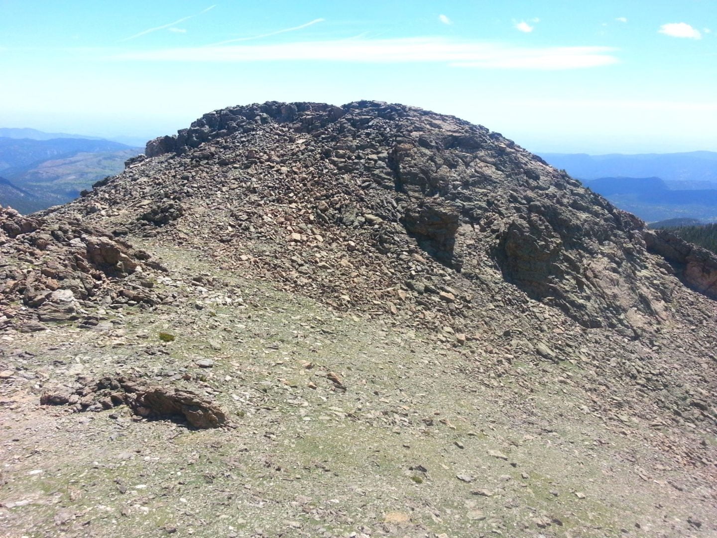
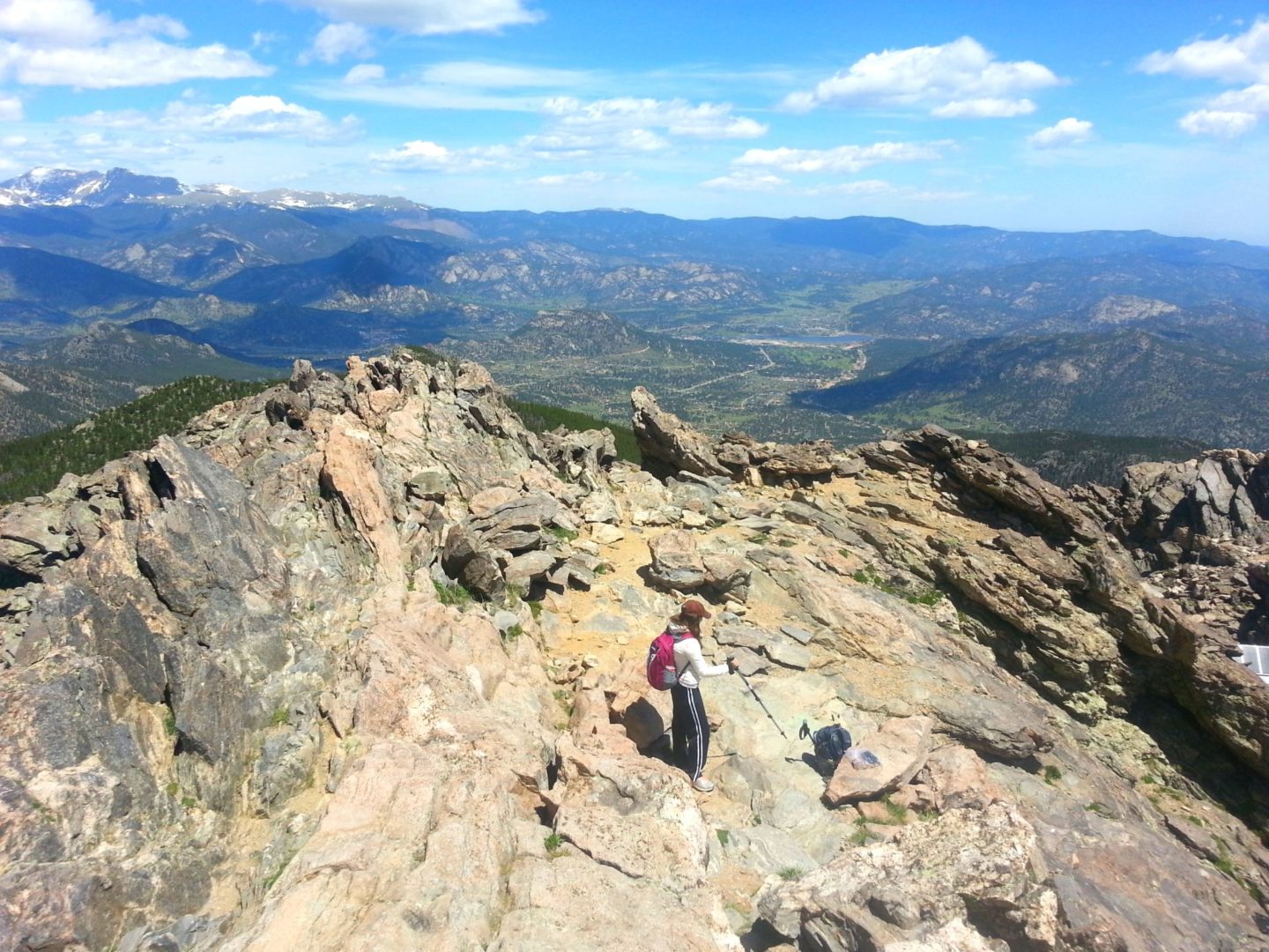
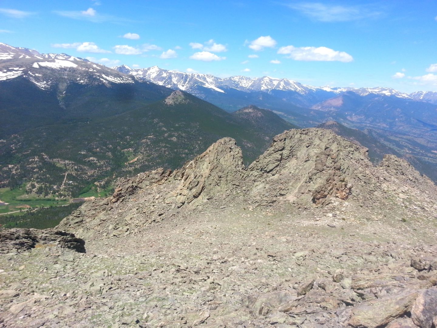
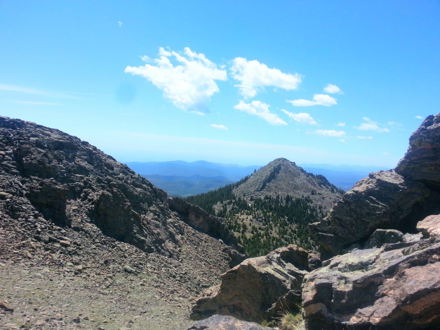
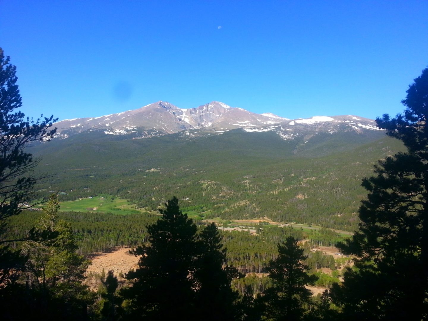
The Twin Sisters ridge runs nearly two miles along the east central boundary of Rocky Mountain National Park. From the summit there are panoramic views of the eastern plains and Rocky Mountain National Park, including Longs Peak and Mt Meeker.
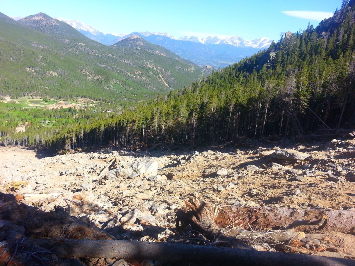
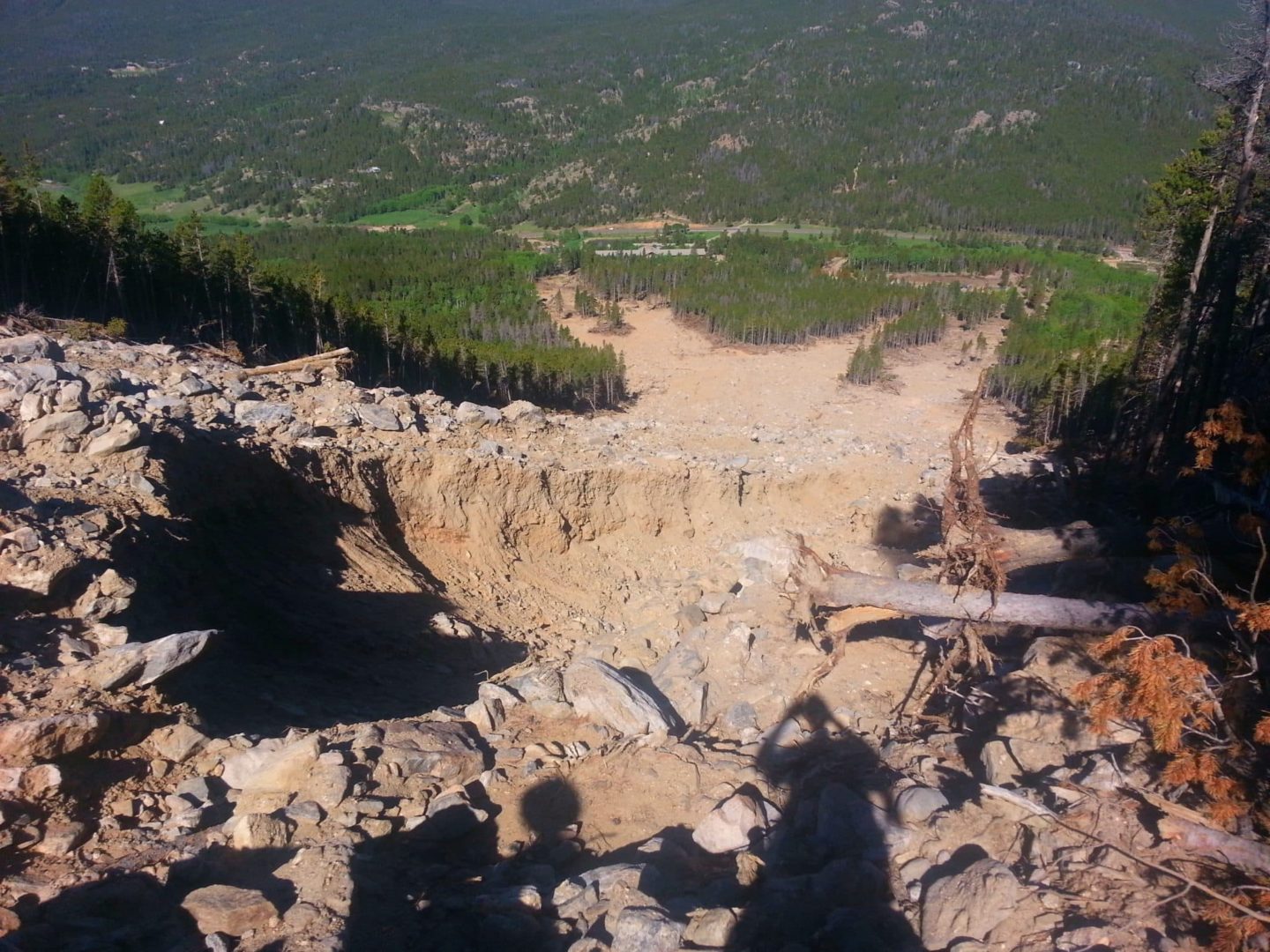
The heavy rains in 2013 caused a significant rockslide, which destroyed three of switchbacks in the trail. Most hikers cross the slide area, although there is a steeper social trail that allows you to climb above the the rubble before heading further south.
Trail Stats
- Trailhead: Twin Sisters
- Round trip: 7 miles / 11.3 km
- Elevation: 9,060′ – 11,428′ / 2,761 m – 3,483 m
- County: Larimer
- Agency: National Park Service
- Nat’l Park: Rocky Mountain
- Nat’l Forest: Roosevelt
Trail Pictures
GPS Route with Elevation
Video Tour
Trail Directions
The trail climbs through endless switchbacks in a lodgepole pine forest before opening onto a boulder field above timberline. A significant portion of the trail passes through Rocky Mountain National Park. Near the summit there is a radio tower and stone building, a weather vane, and solar cell panels.
From there, reaching the summit requires an additional rock scramble up a short trail. From the summit there are panoramic views of the eastern plains, Rocky Mountain National Park, and Longs Peak. Twin Sisters trailhead is located on national park land.
Trailhead Directions


