High Dune (8,700′), Great Sand Dunes N.P.
High Dune (8,700′), Great Sand Dunes N.P.
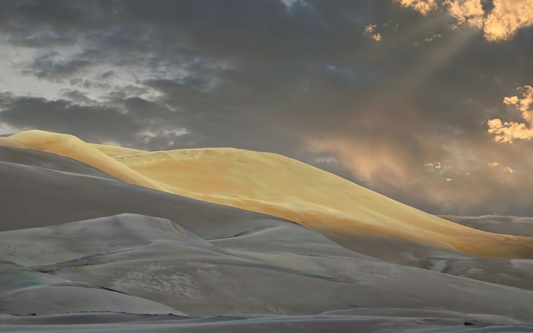
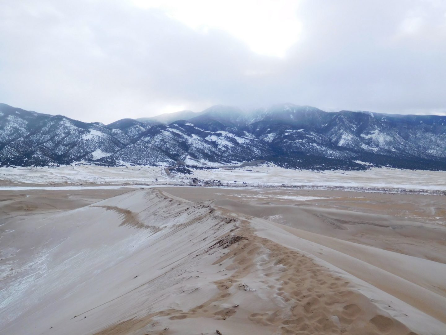
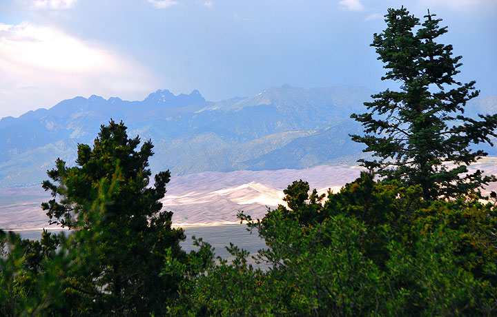
The Great Sand Dunes National Park and Preserve contains the tallest sand dunes in North America, rising about 750 feet (230 m) from the floor of the San Luis Valley at the western base of the Sangre de Cristo Range. The dunes cover about 19,000 acres (7,700 ha).
Researchers estimate that the dunes started forming less than 440,000 years ago, which is recent in geological times. A Visitor Guide by the park provides plenty of ideas for activities while in this unique area.
High Dune at 8,700′ is the highest dune in elevation at the park, but the tallest dune from base to summit is Star Dune. Rising about 750′ from the valley floor, it is the tallest sand dune in North America.
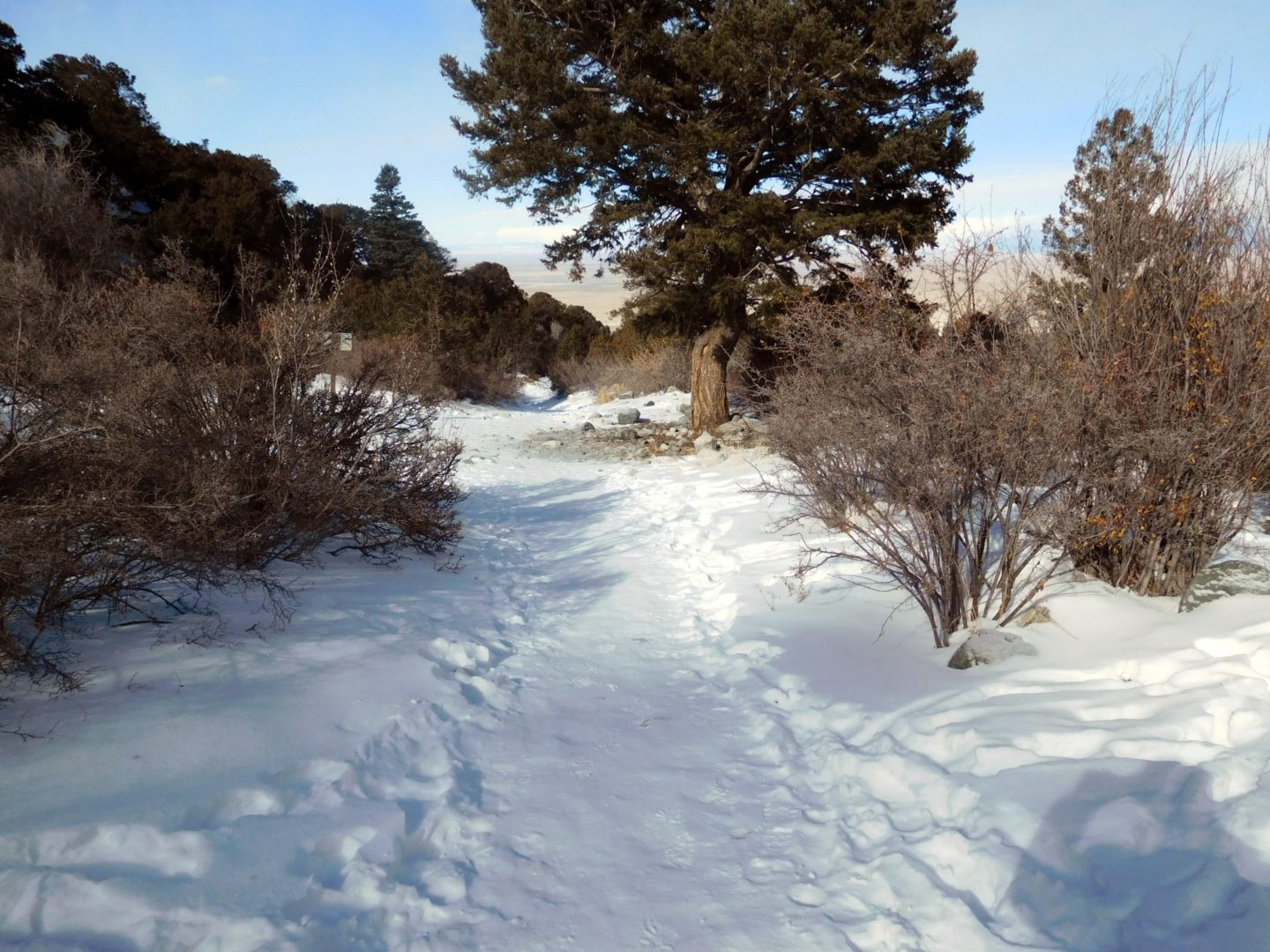
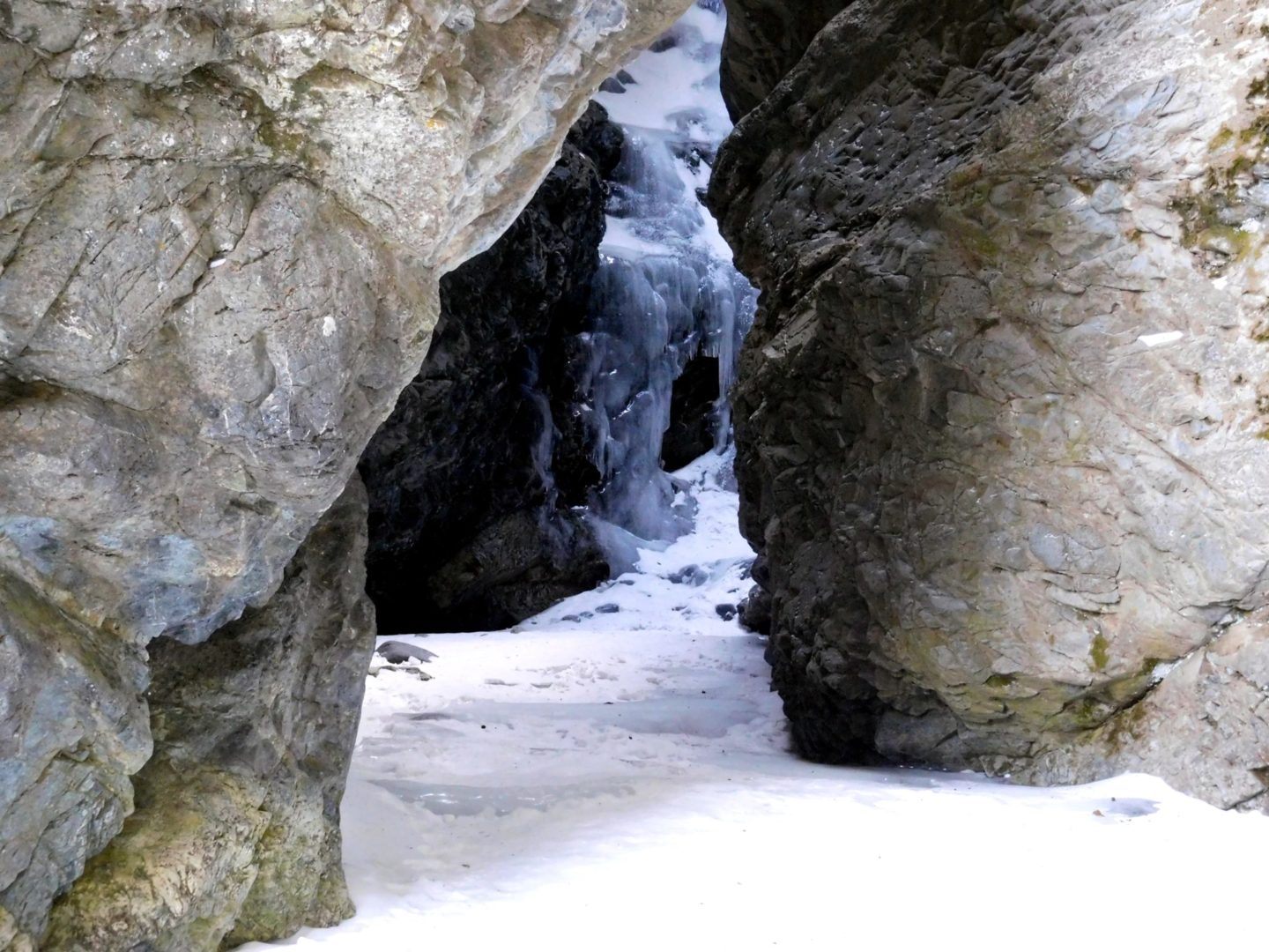
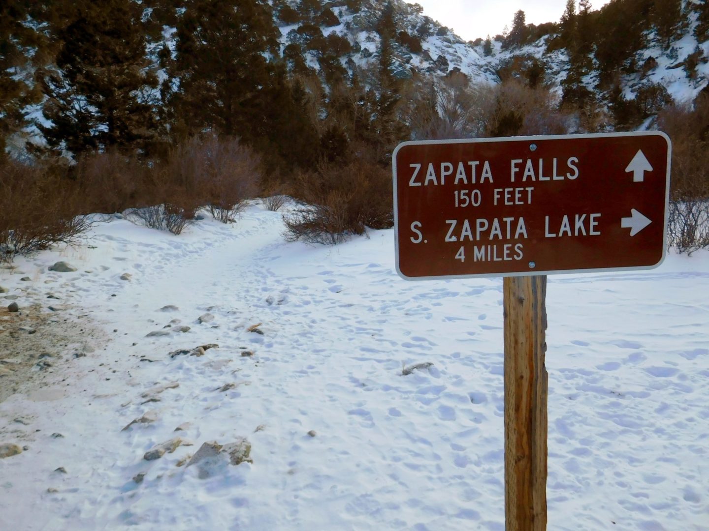
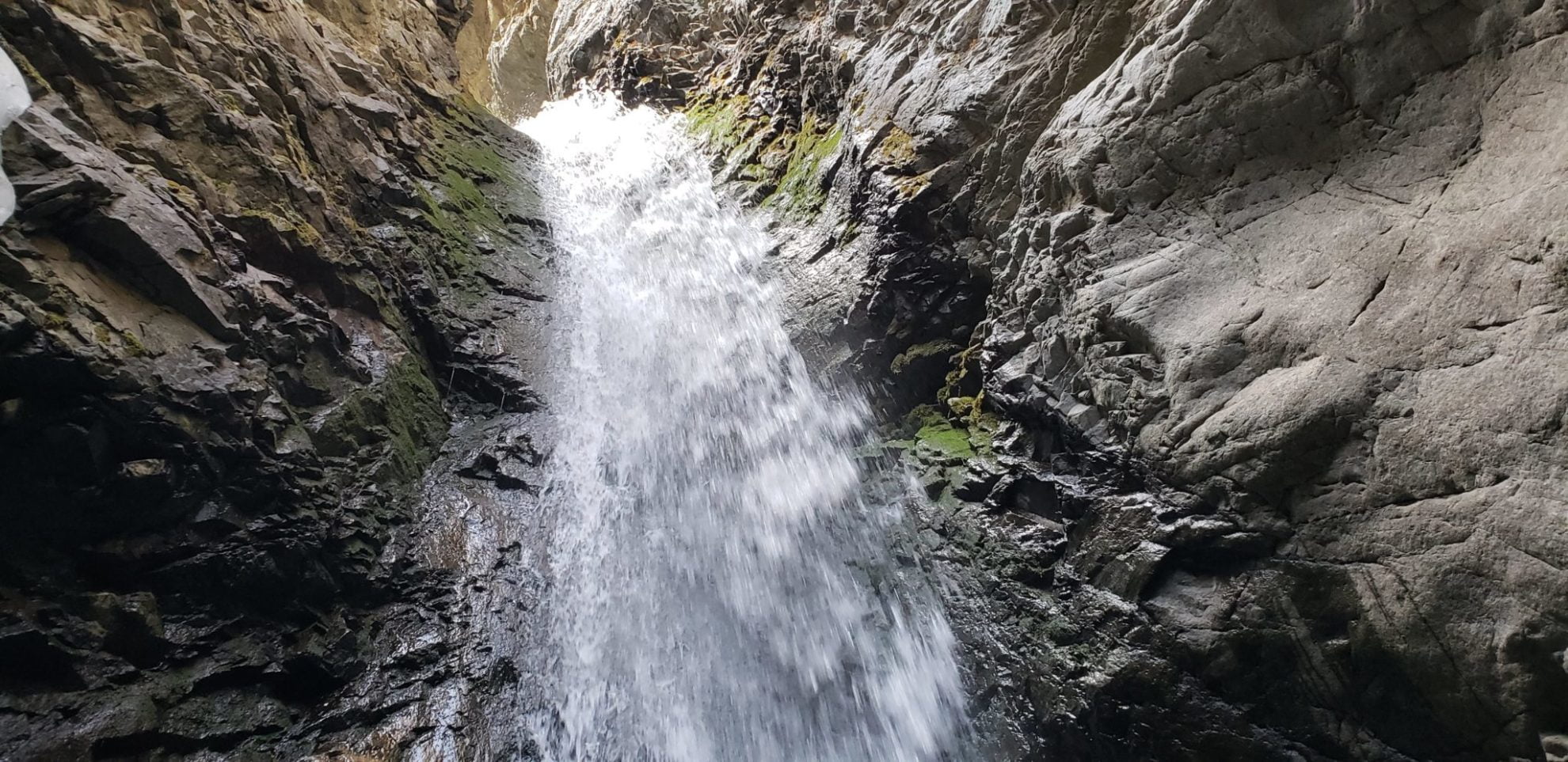
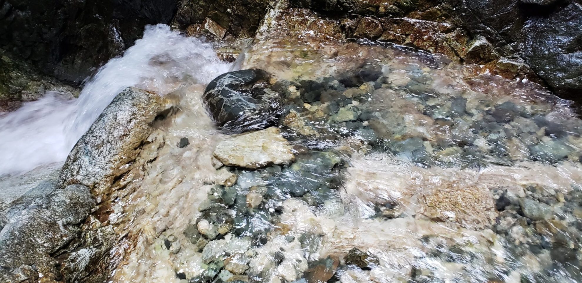
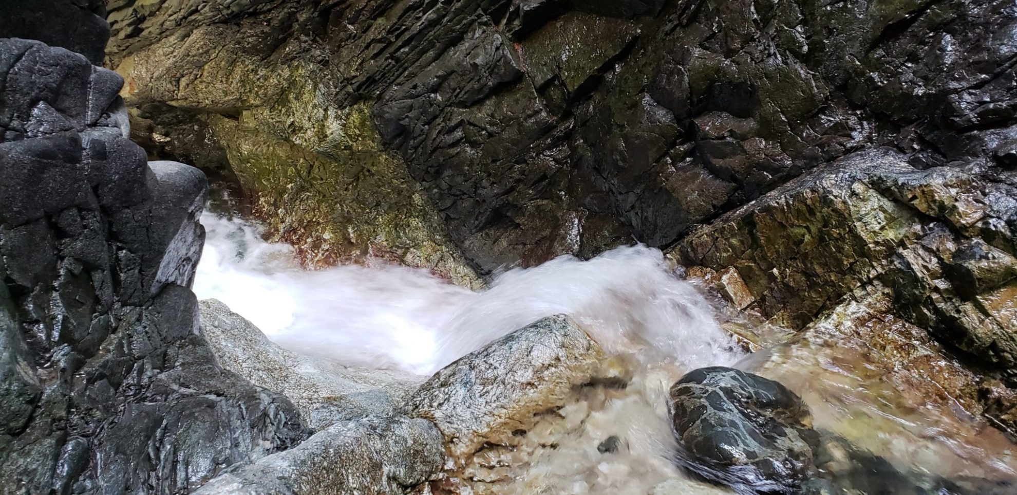
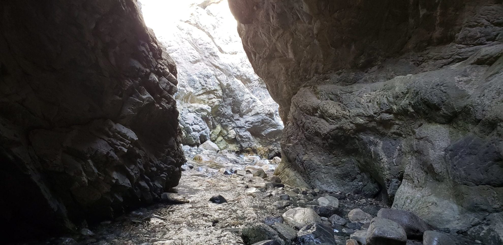
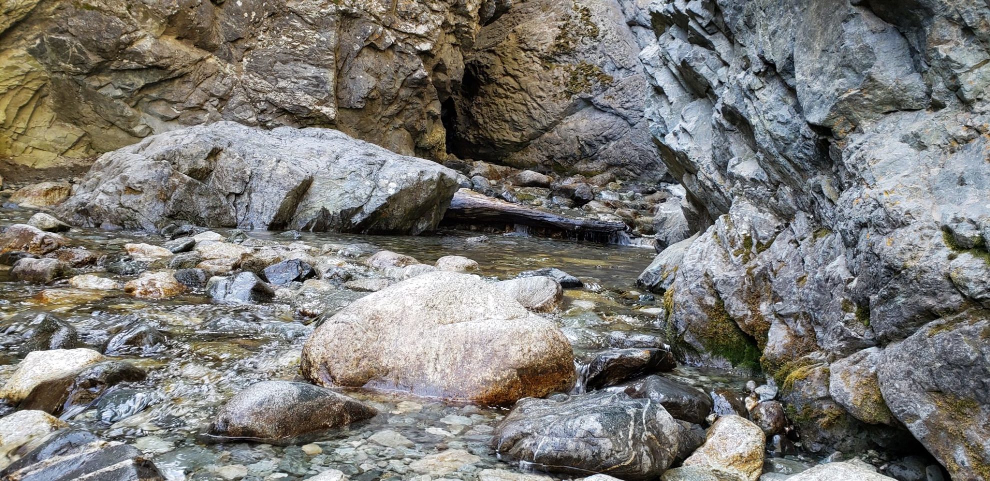
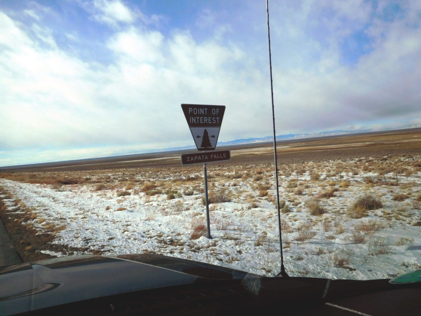
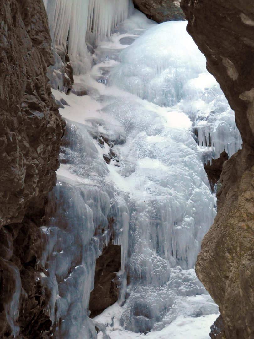
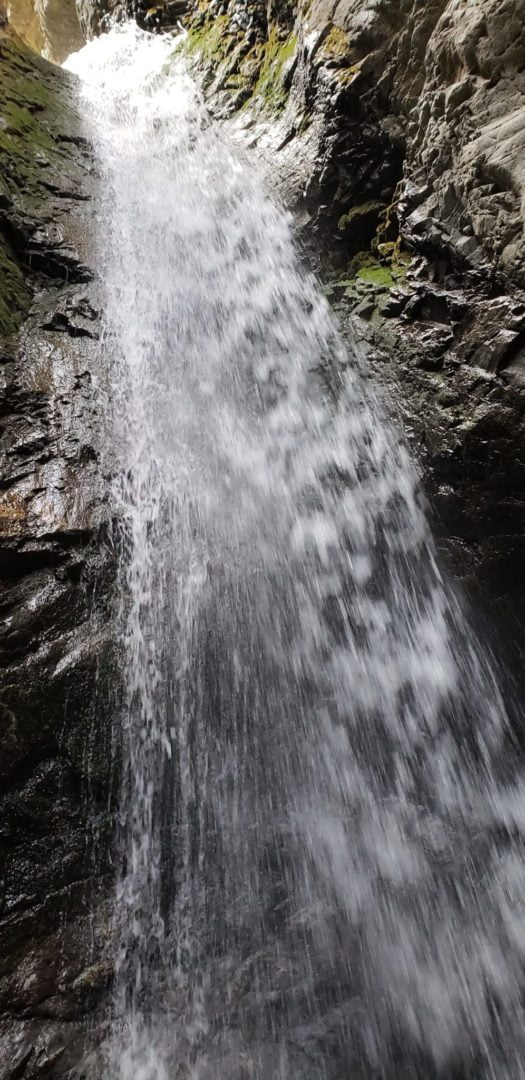
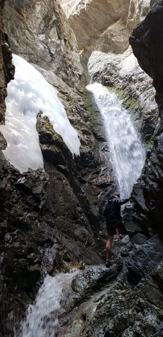
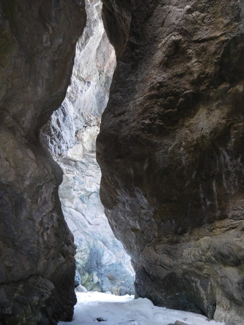
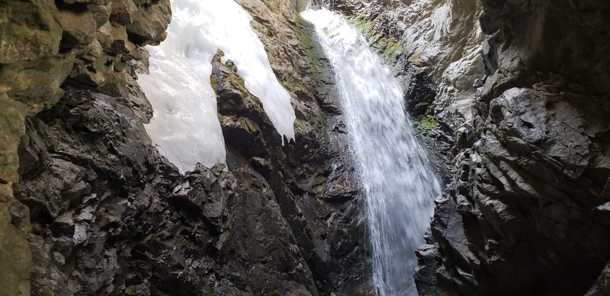
While in the area, Zapata Falls lies just outside the park and is worth the small excursion.
Trail Stats
- Trailhead: High Dune
- Round trip: 2.3 miles / 3.8 km
- Elevation: 8,175′ – 8,700′ / 2,492 m – 2,652 m
- County: Saguache
- Agency: National Park Service
- Nat’l Park: Great Sand Dunes National Park and Preserve

Trail Pictures

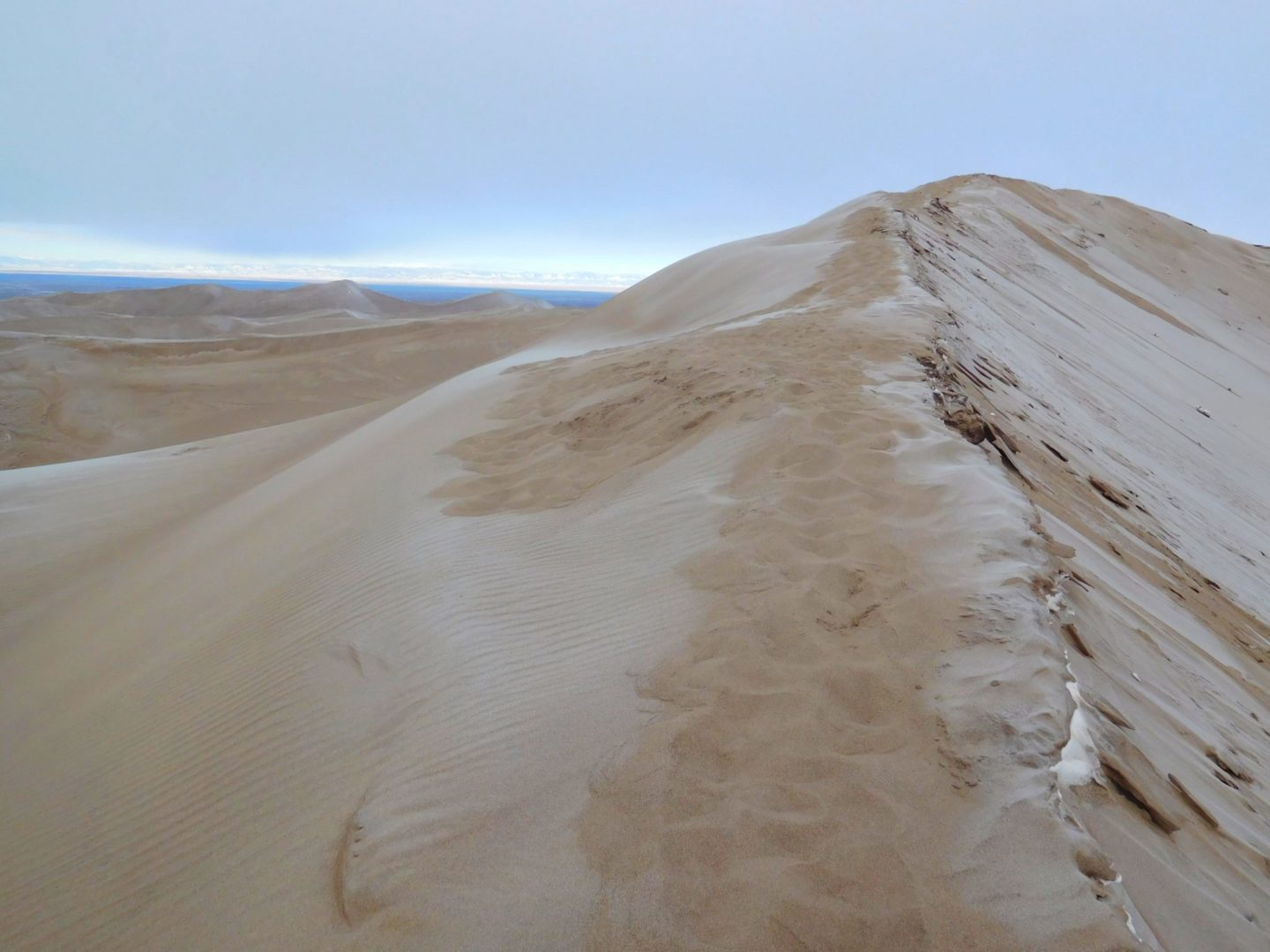
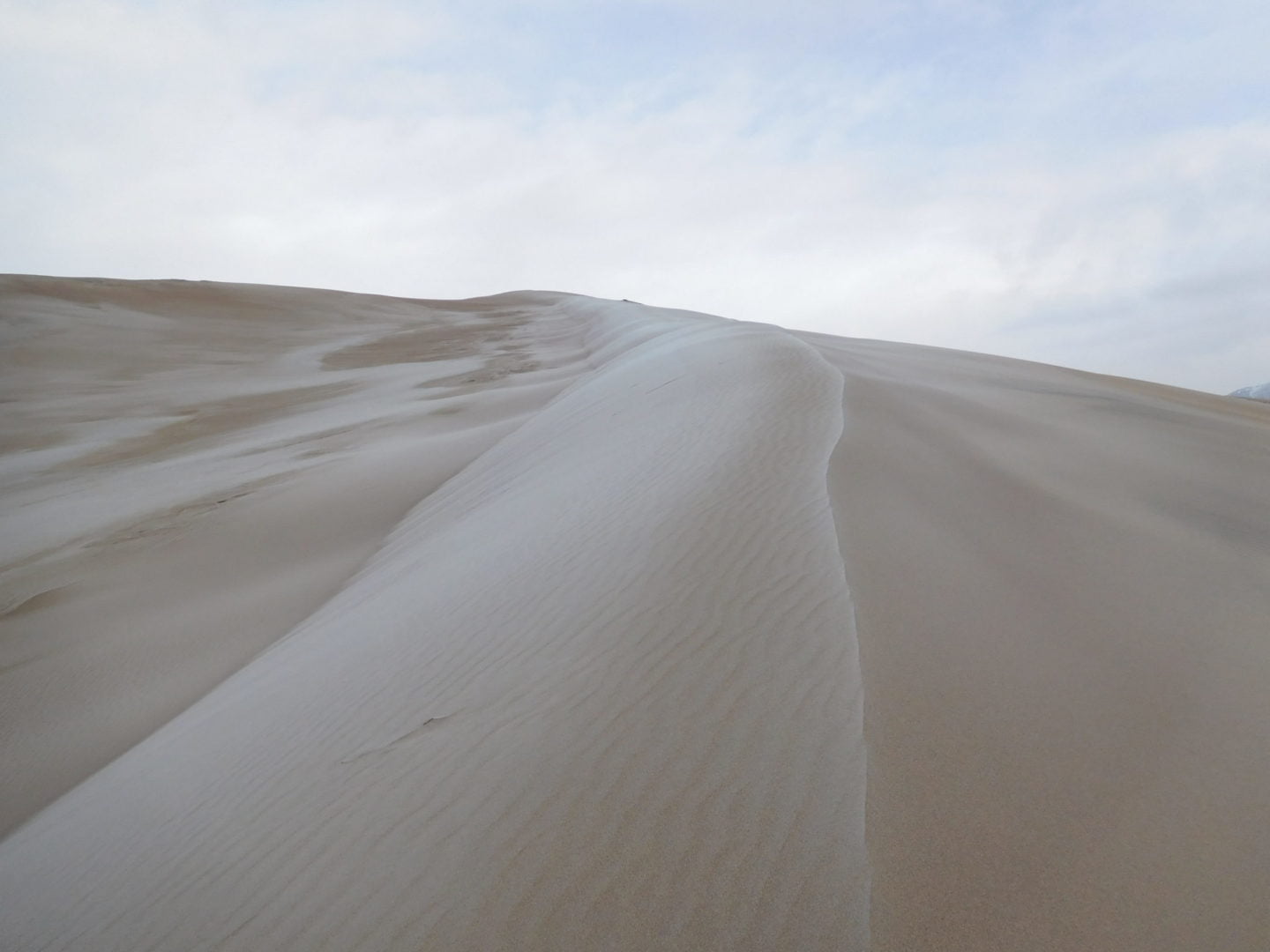
Hiking up along the ridgeline
Hiking up along the ridgeline
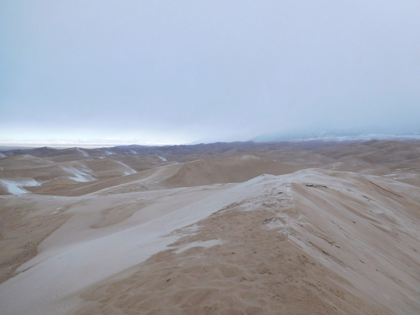
The dunes from a distance
The dunes from a distance
Heading back
Heading back
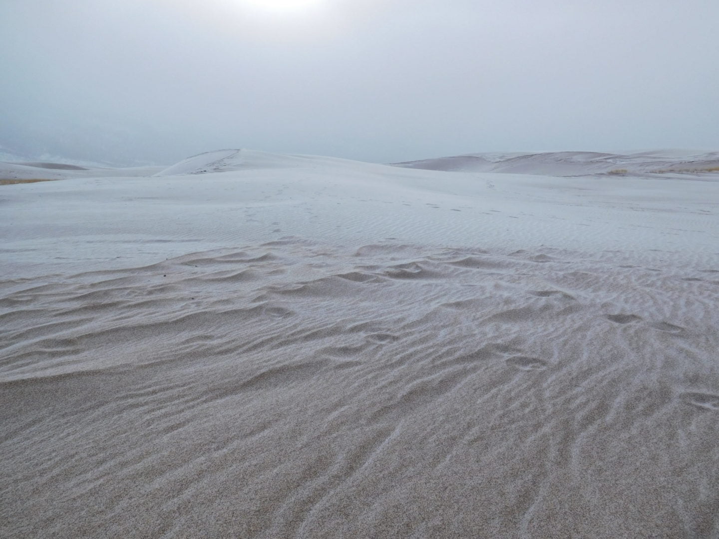
Eerie landscape
Eerie landscape
Looking east
Looking east
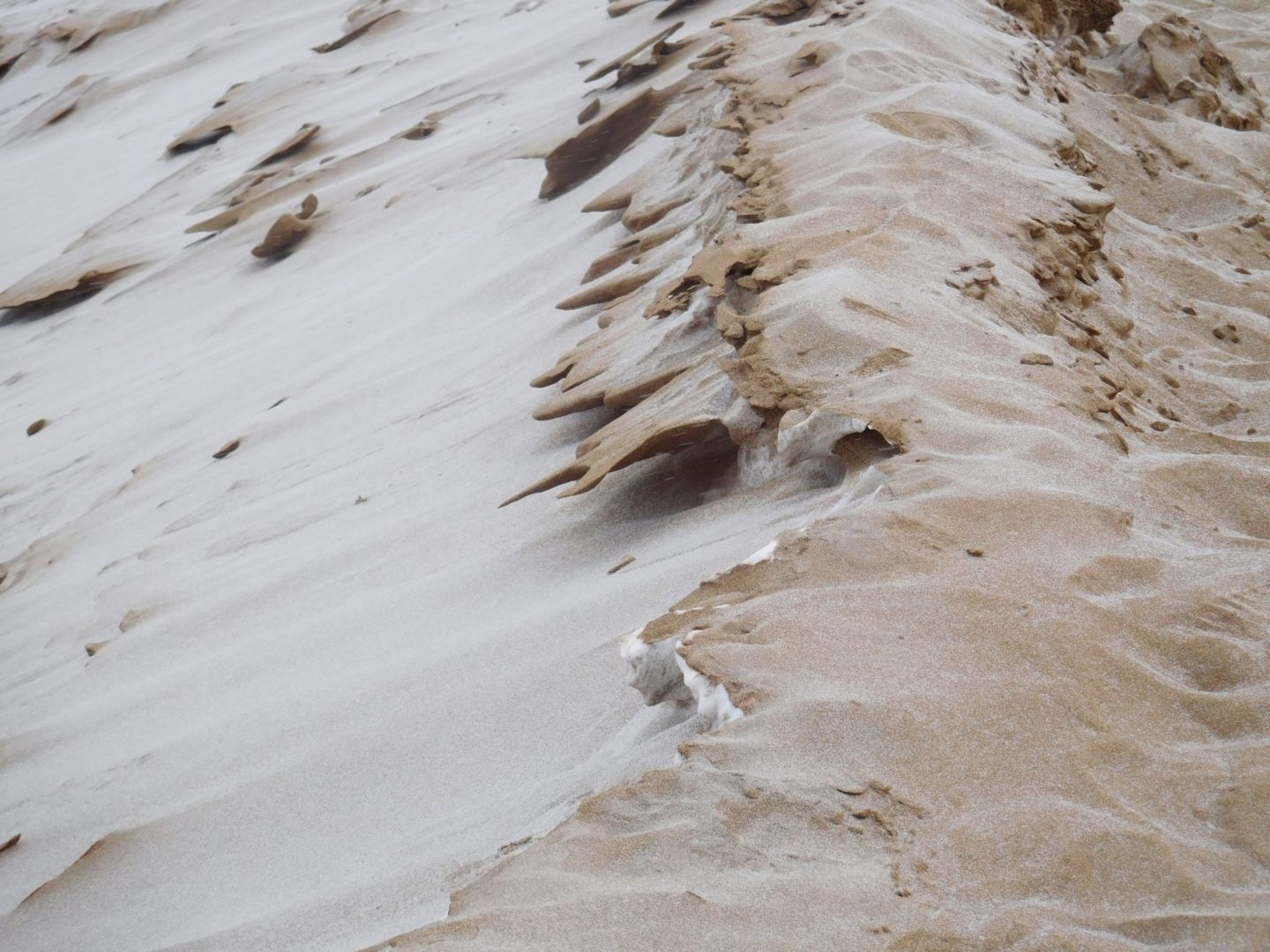
Frozen crust
Frozen crust
View towards Alamosa
View towards Alamosa
A cold winter morning
A cold winter morning

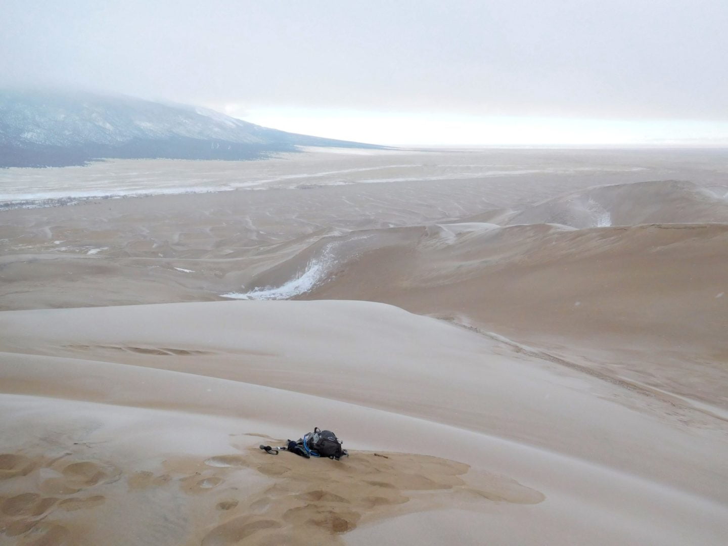
View of Star Dune
View of Star Dune
My tracks to the top
My tracks to the top
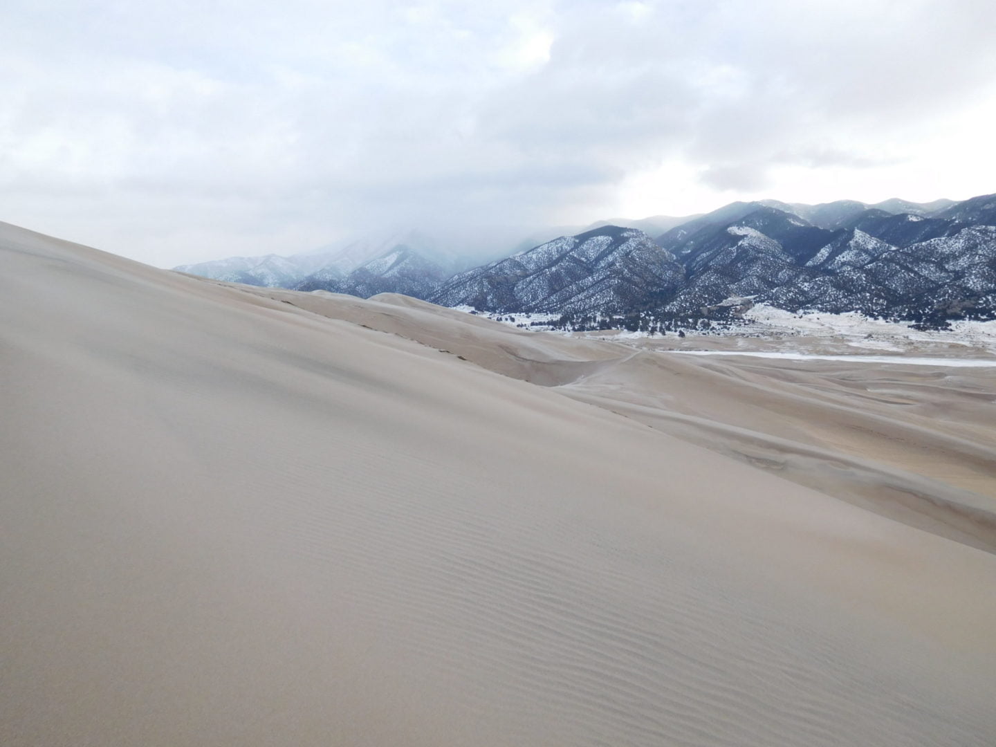
View from the summit
View from the summit
Summit of High Dune
Summit of High Dune
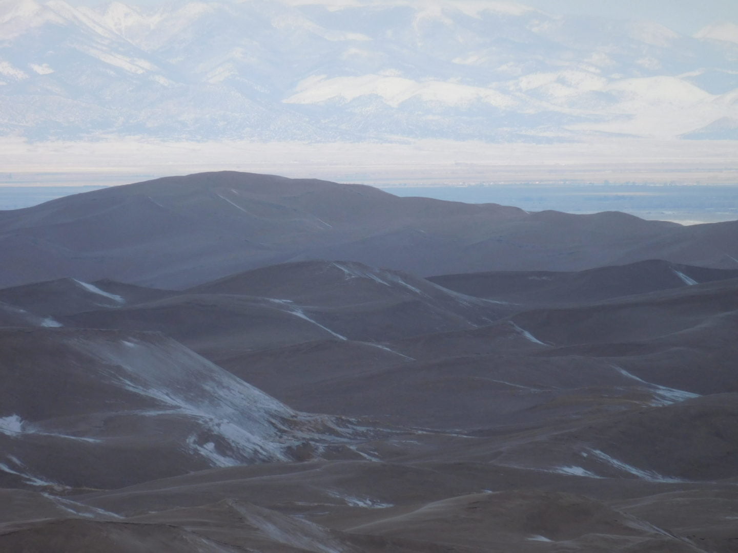
View of the Sange de Cristo Mountain Range
View of the Sange de Cristo Mountain Range
Hiking up along the ridgeline
Hiking up along the ridgeline

Hiking up High Dune
Hiking up High Dune
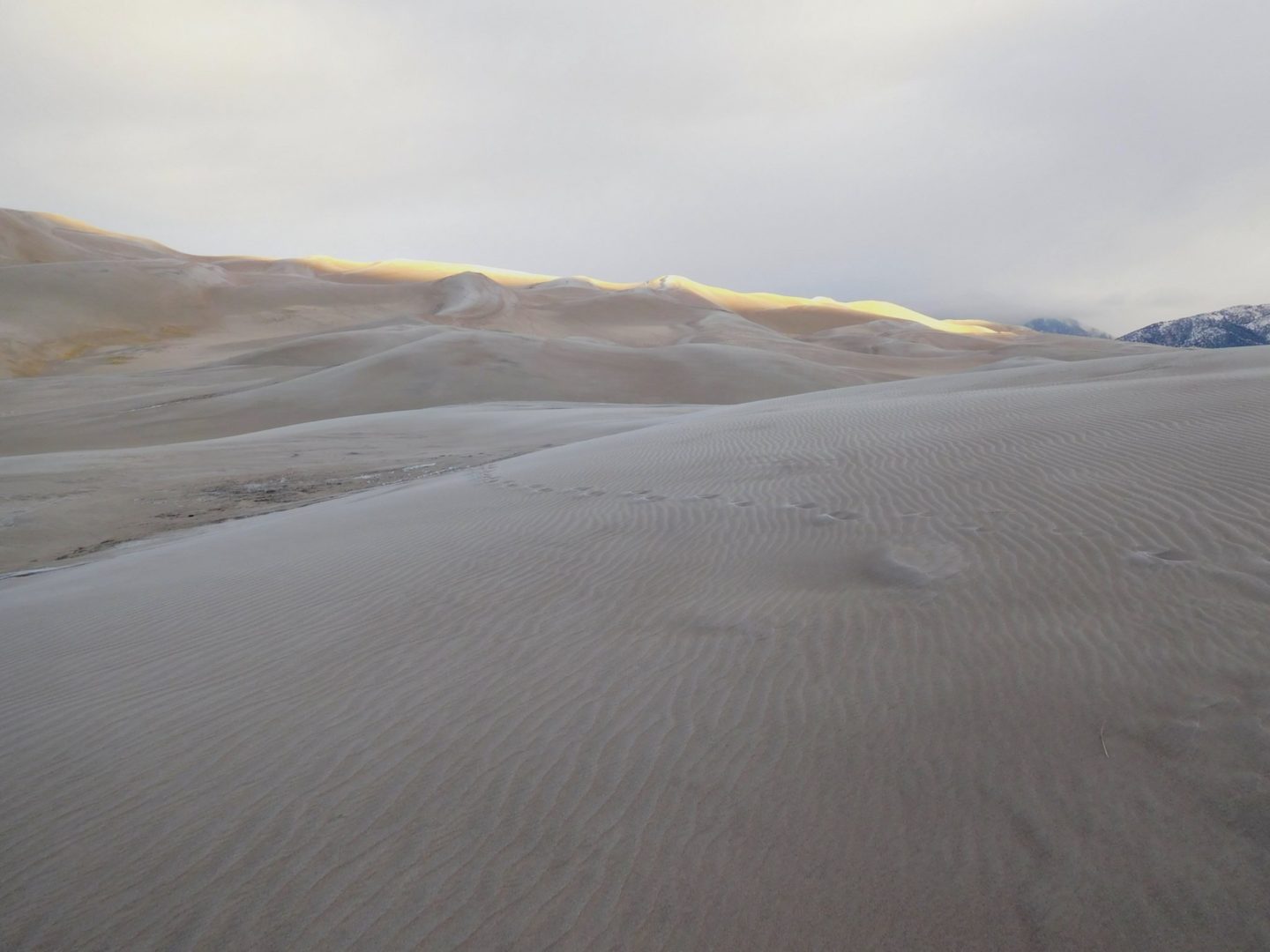
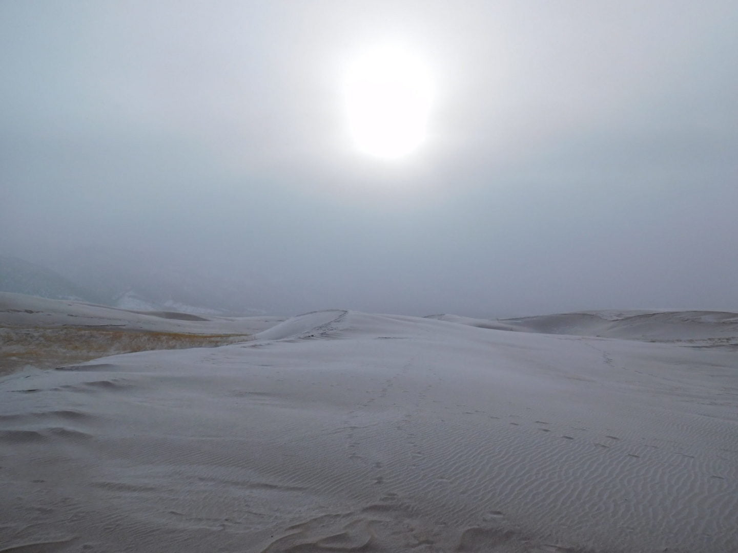
First rays of sunlight
First rays of sunlight

Great Sand Dunes National Park and Preserve entrance
Great Sand Dunes National Park and Preserve entrance

sand dunes
sand dunes
GPS Route with Elevation
Video Tour
Trail Directions
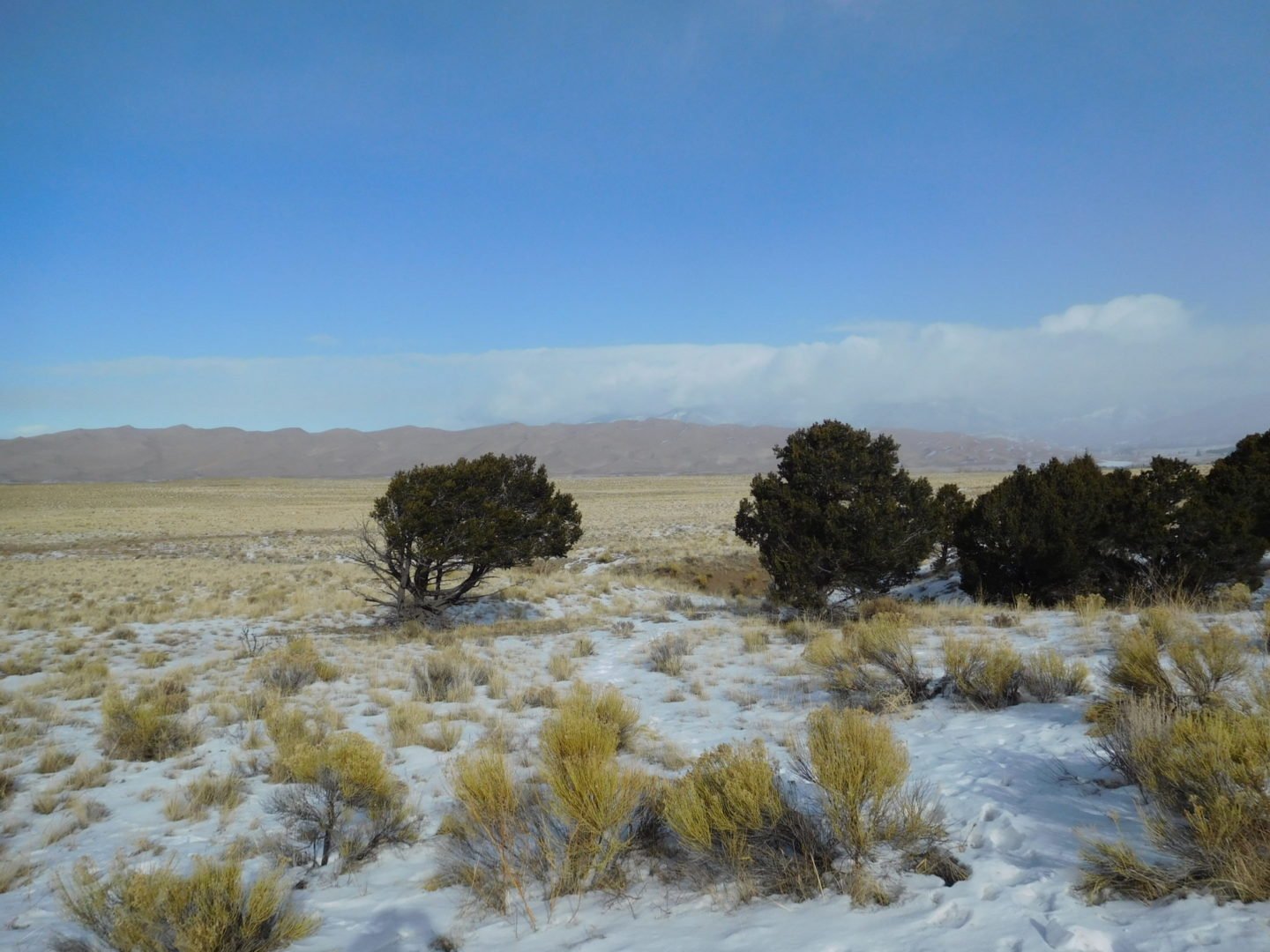
Medano Creek is within a 100 feet of the parking lot and is a popular destination because it has the characteristics of an ocean beach in the spring. Cross the shallow creek and continue toward the dunes.
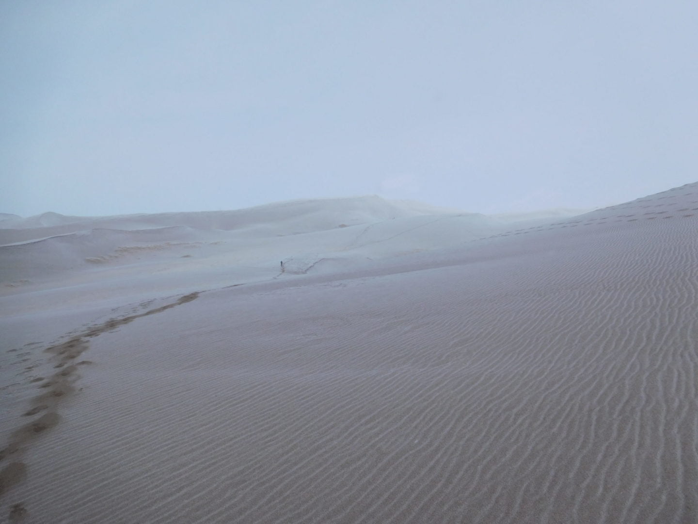
The first part of the hike is easy because it travels across flat, thick sand. The hike quickly transitions from an easy beach walk to a vertically challenging dune climb as the angle increases. Walking up along the ridges provided the path of least resistance.
Trailhead Directions


