Quandary Peak (14,272′), Ten Mile Range
Quandary Peak (14,272′), Ten Mile Range
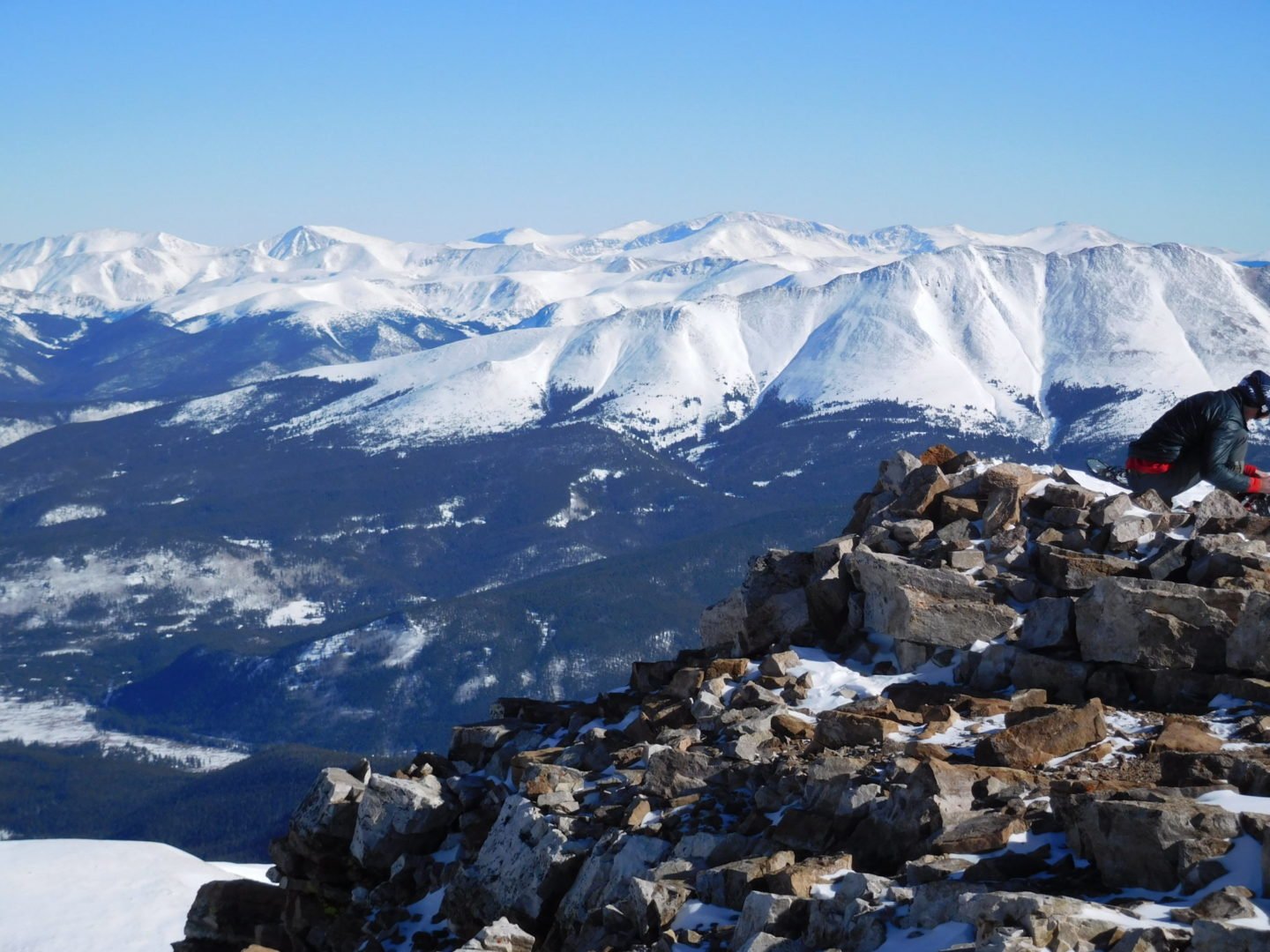
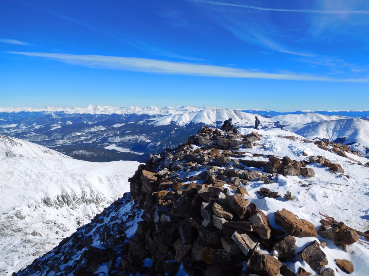
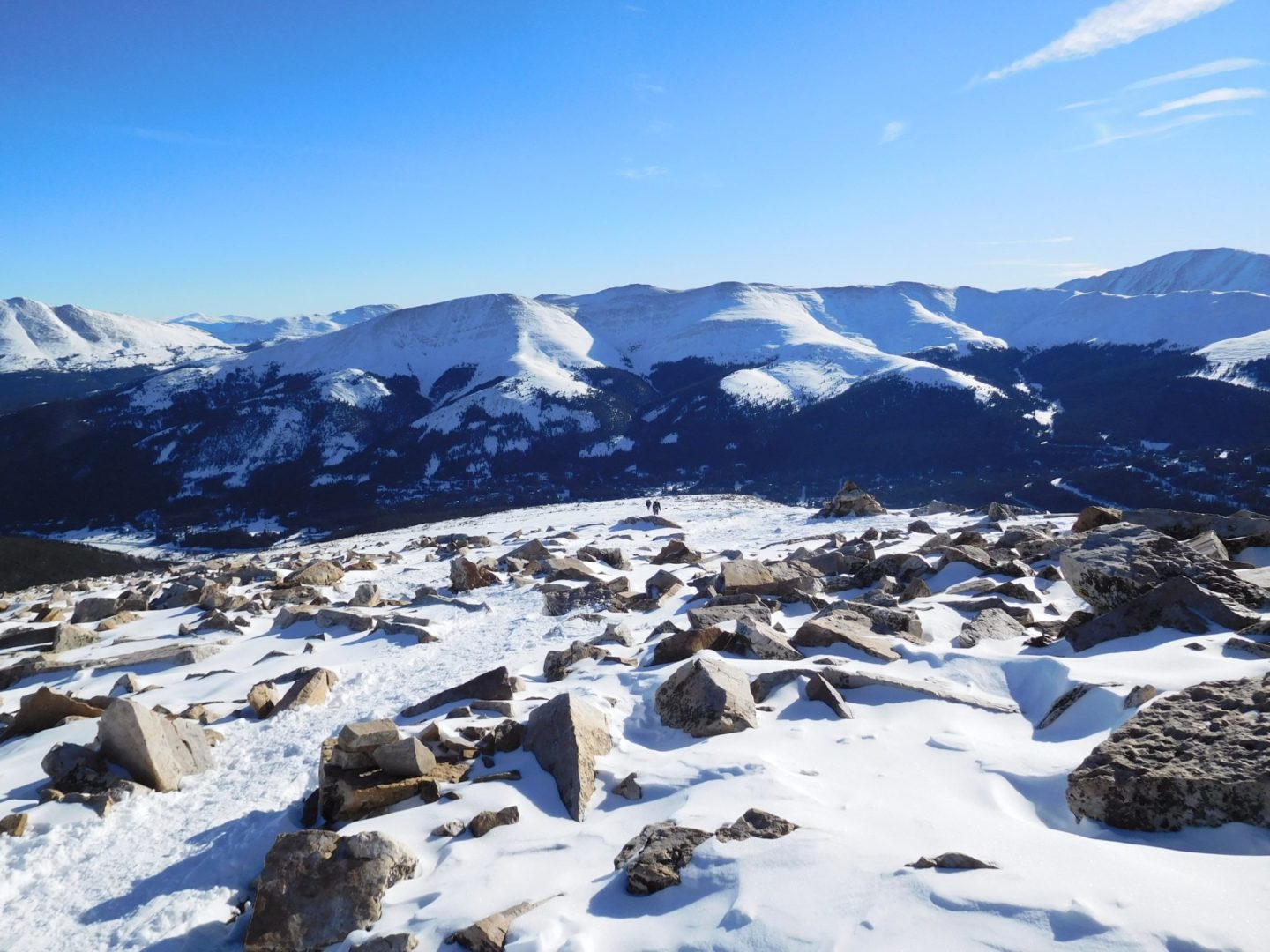
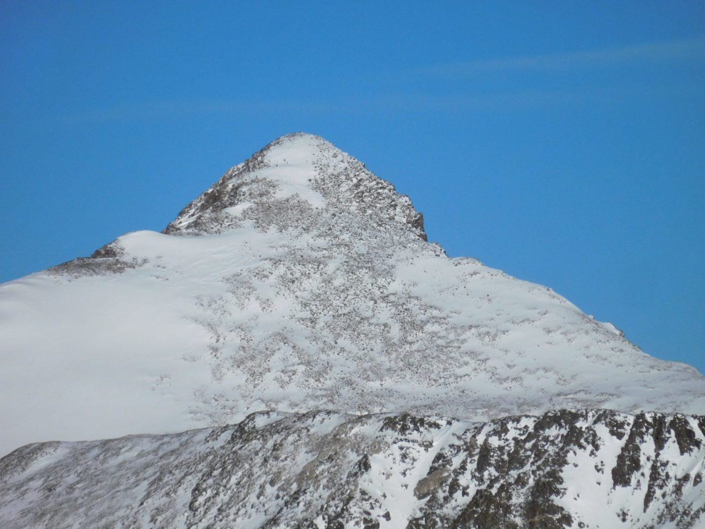
Quandary Peak is the only 14,000′ peak in the Ten Mile Range. The summit provides great views of other nearby peaks such as Northstar Mountain, Mt. Lincoln, Mt. Cameron, Mt. Democrat, and Mt Bross to the south. To the north you see Pacific and Crystal Peak, as well as the Gore Range in the distance.
The mountain lies about 6 miles (10 km) south-southwest of the town of Breckenridge, making it a popular Class 1 route in winter as well.
Trail Stats
- Trailhead: Quandary (East Ridge)
- Round trip: 6.75 miles / 10.9 km
- Elevation: 10,850′ – 14,272′ / 3,307 m – 4,350 m
- County: Summit
- Agency: U.S. Forest Service
- Nat’l Forest: White River
Trail Pictures
GPS Route with Elevation
Video Tour
Trail Directions
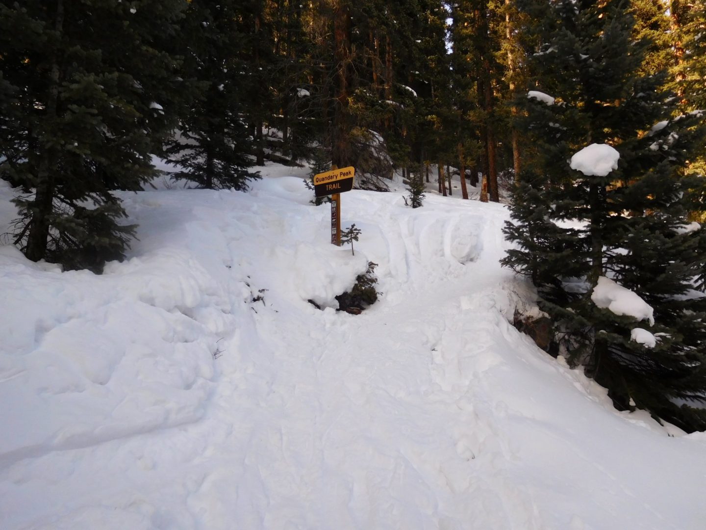
The trail begins climbing immediately through dense forests. After about 0.3 miles there is a large boulder to the right of the trail, turn right. The trail is clear during the summer months, but in the event that it is covered with snow it’s easy to miss this turn. After gaining about 700′, you’ll start to pass through some clearings, some of which are fairly flat, at 11,300′.
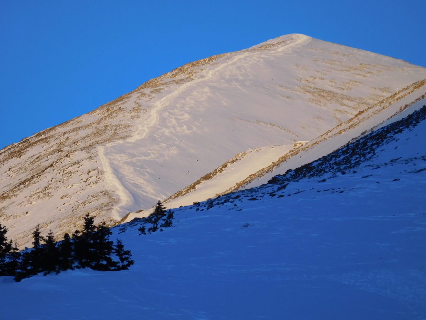
You reach tree line quickly at this point providing better views. The ridge pops into view around 11,800′. The trail starts along the left side of the ridge. Follow the switchbacks up towards the ridge crest. From here the summit is visible. Angle left along some flats to stay on the ridge. From here the trail gets rockier and steeper. At 13,400′ ft trail stops switchbacking and heads straight up to the summit straight ahead.


