Hallett Peak (12,713′), Front Range
Hallett Peak, viewed from east Rocky Mountain National Park, is distinctive with it’s slanted square structure towering over the landscape. As you near the summit however, the square melts away and you are left looking at a more traditional mountain silhouette. Rising along the Continental Divide, the peak divides Chaos Canyon to the south and Tyndall Gorge to the north.
The route to the summit first traverses the summit of Flattop Mountain on a well maintained trail. The Arapaho Indians called the Flattop Mountain corridor “The Big Trail”. The trail was formally constructed in 1925, was rehabilitated by the Civilian Conservation Corps in 1940, and is currently listed on the National Register of Historic Places.
Trail Stats
- Trailhead: Bear Lake
- Round trip: 10 miles / 16.1 km
- Elevation: 9,475′ – 12,713′ / 2,888 m – 3,875 m
- County: Larimer
- Agency: National Park Service
- Nat’l Park: Rocky Mountain

Trail Pictures
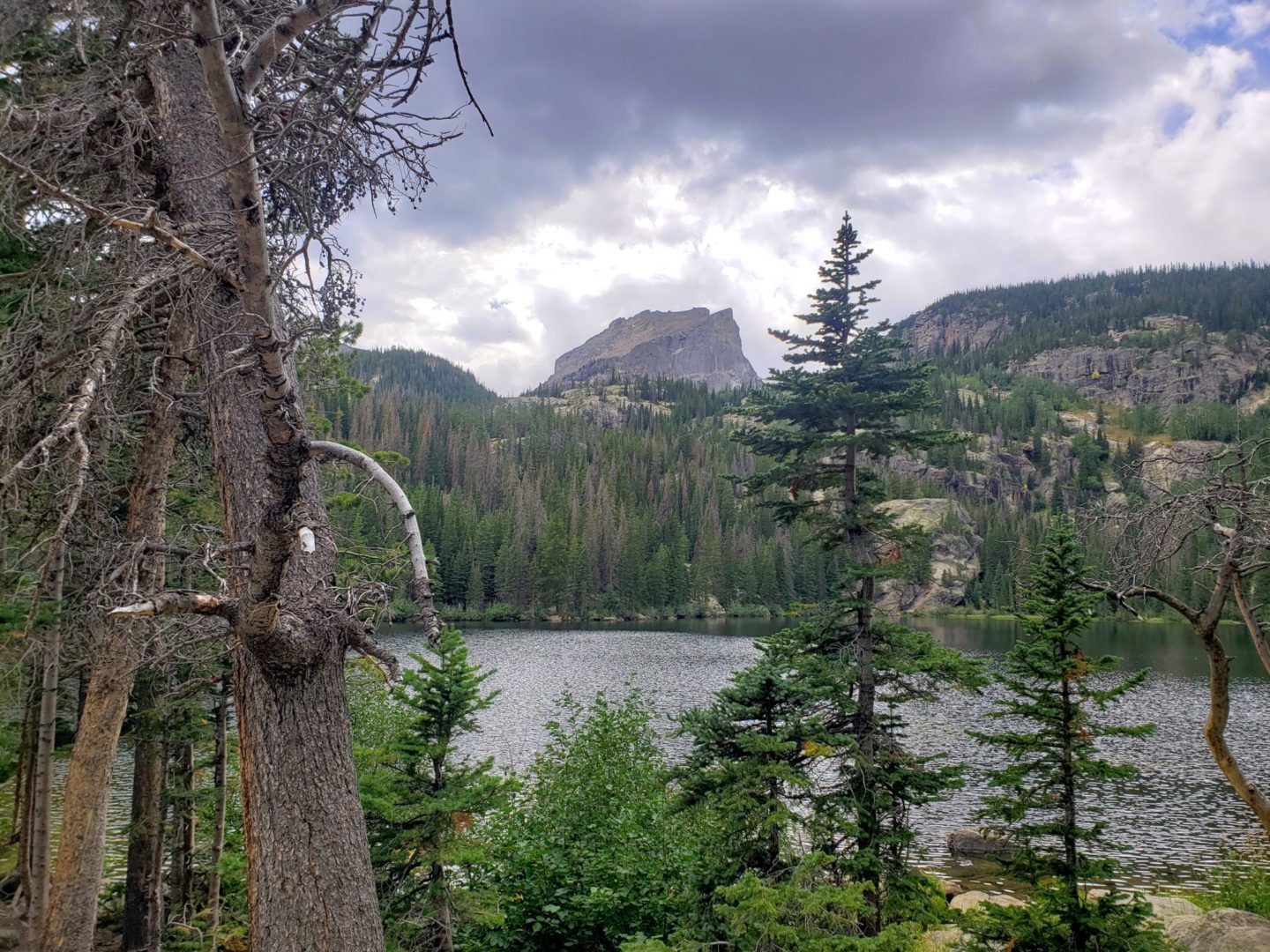
Bear Lake with Hallett Peak in the distance
Bear Lake with Hallett Peak in the distance

The Flattop Mountain trail
The Flattop Mountain trail
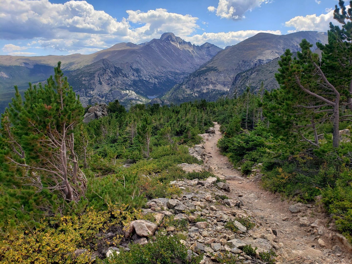
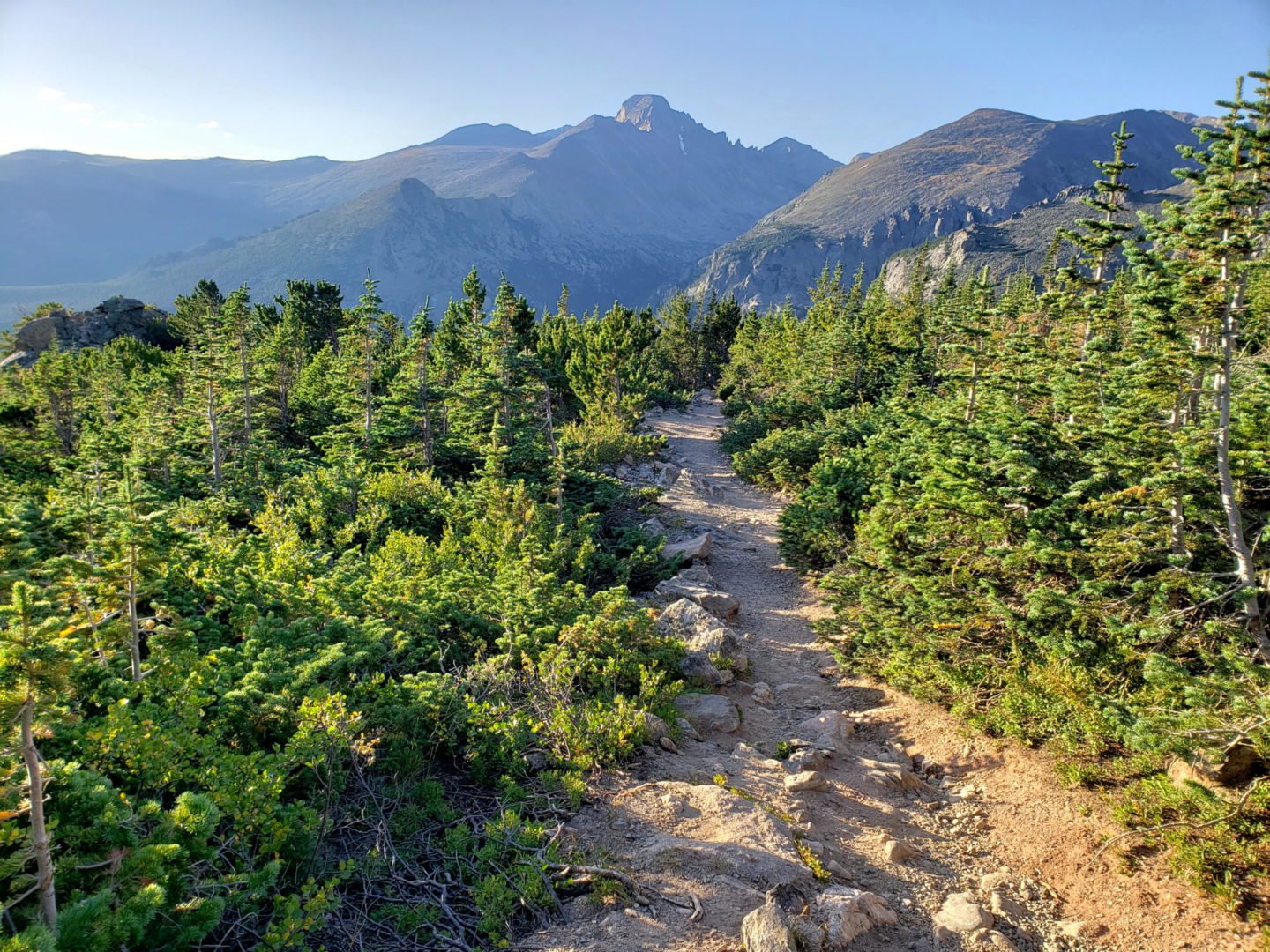
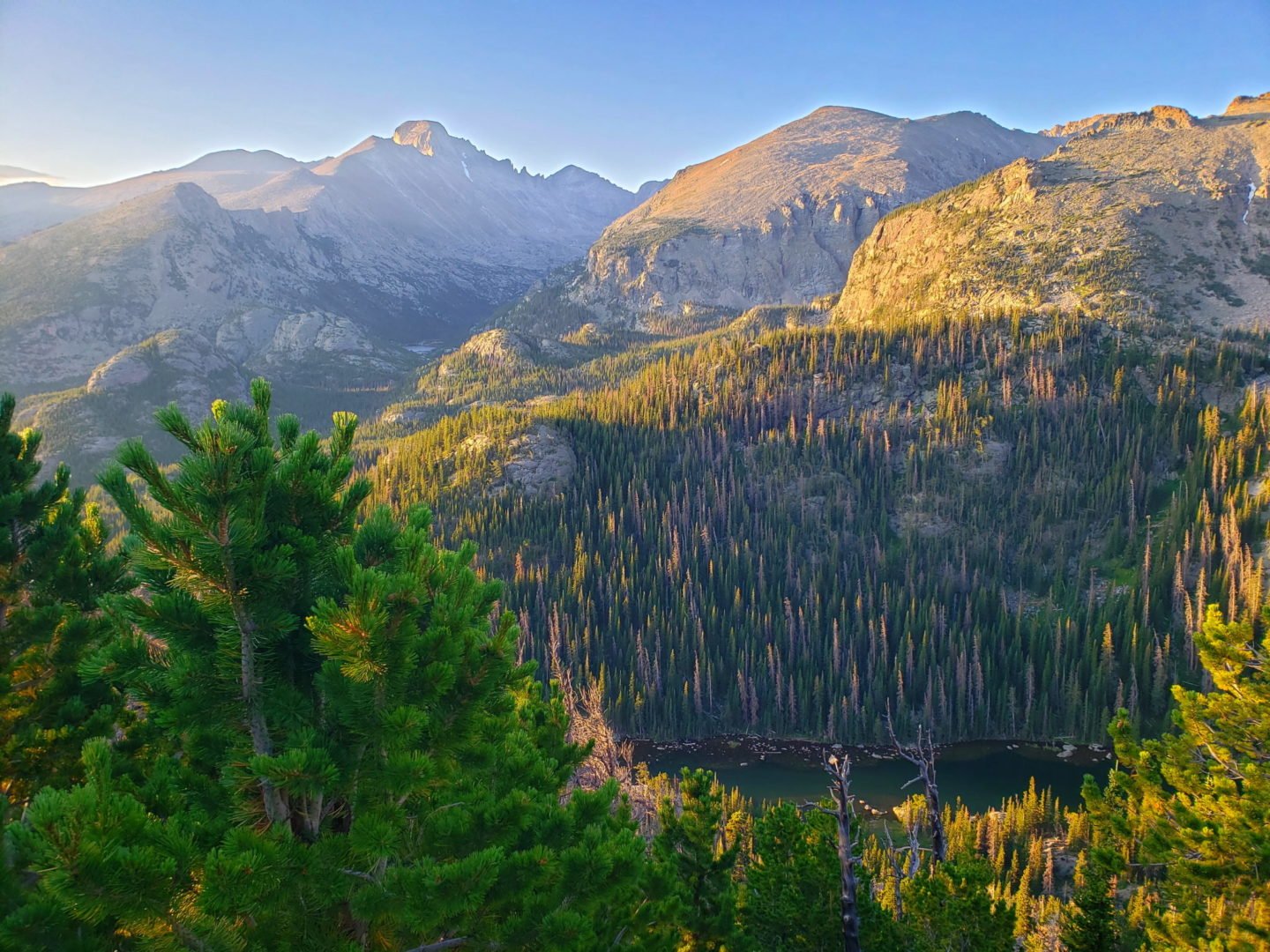
Views of Longs Peak and Thatchtop Mountain near treeline
Views of Longs Peak and Thatchtop Mountain near treeline
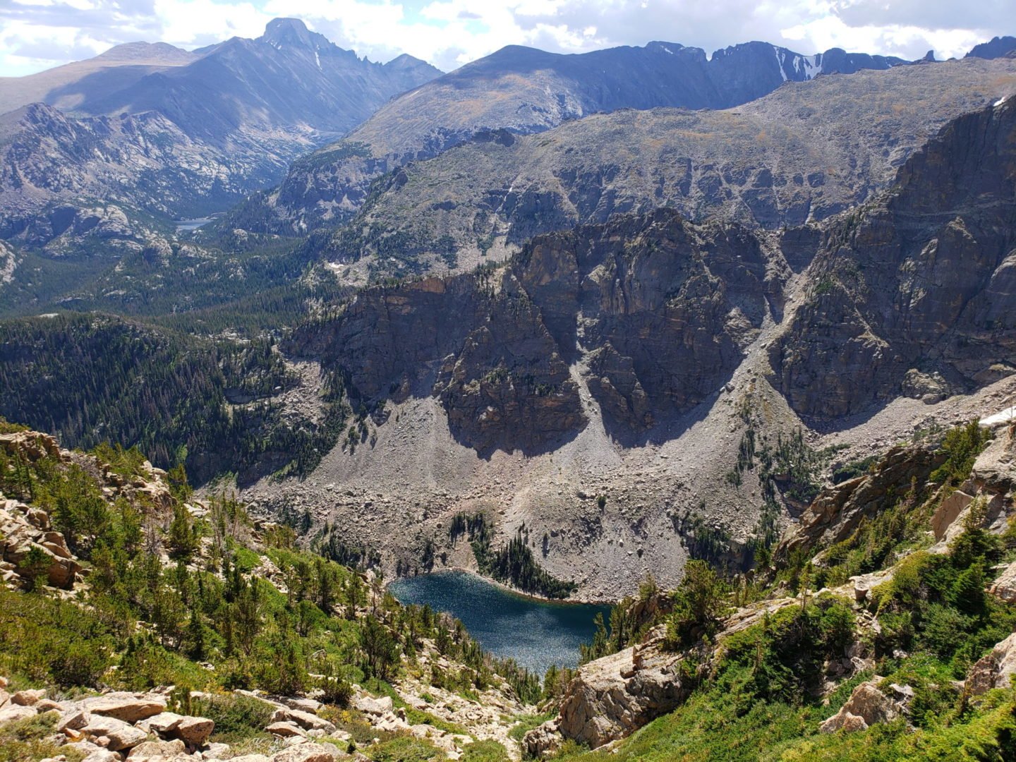
Emerald Lake below
Emerald Lake below

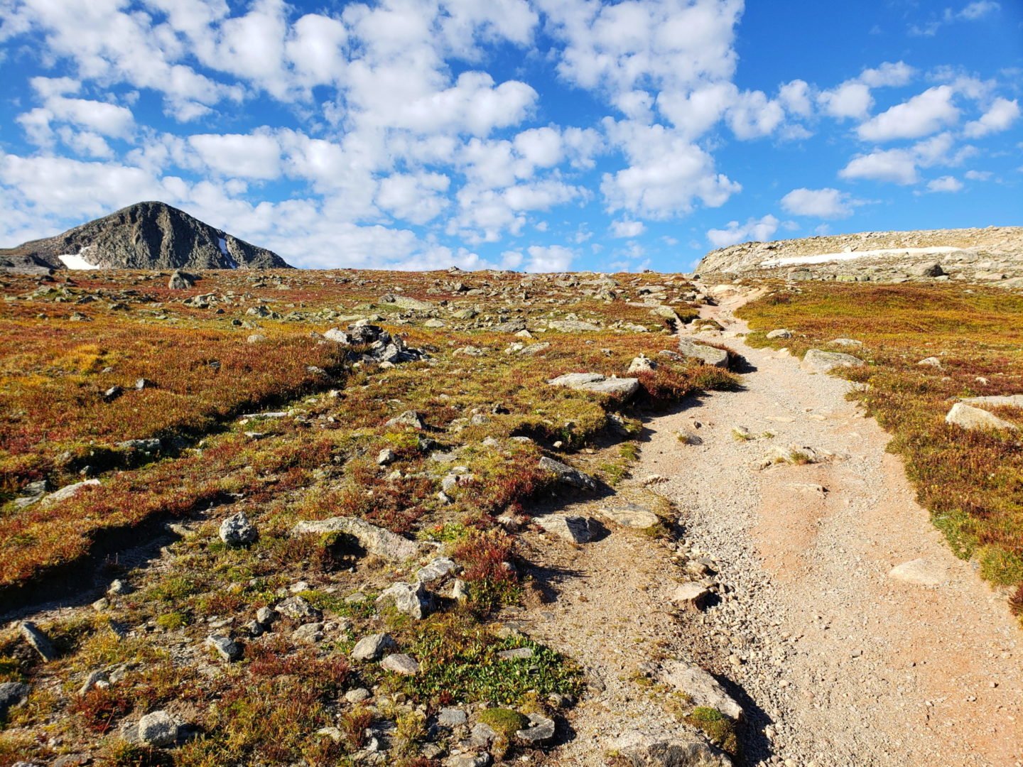
Views along the Flattop Mountain trail
Views along the Flattop Mountain trail
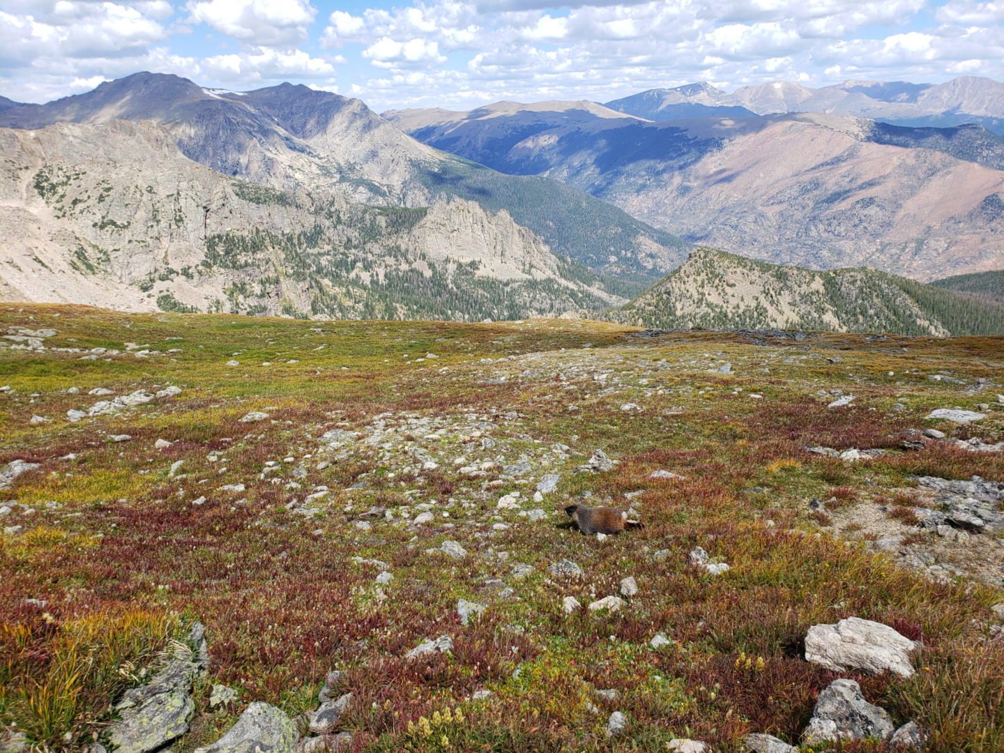
A marmot blending into the alpine tundra
A marmot blending into the alpine tundra
Hallett Peak (12,713′)
Hallett Peak (12,713′)
Looking east down the Flattop Mountain Trail
Looking east down the Flattop Mountain Trail
20190831_112646
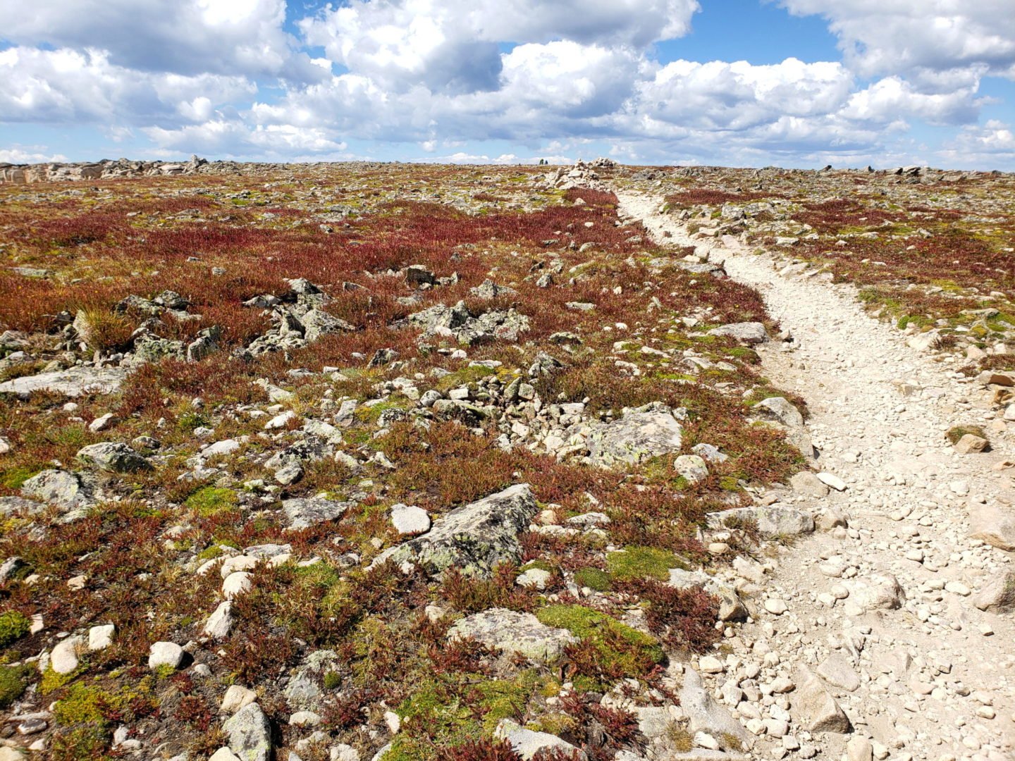
Along the summit of Flattop Mountain
20190831_112633
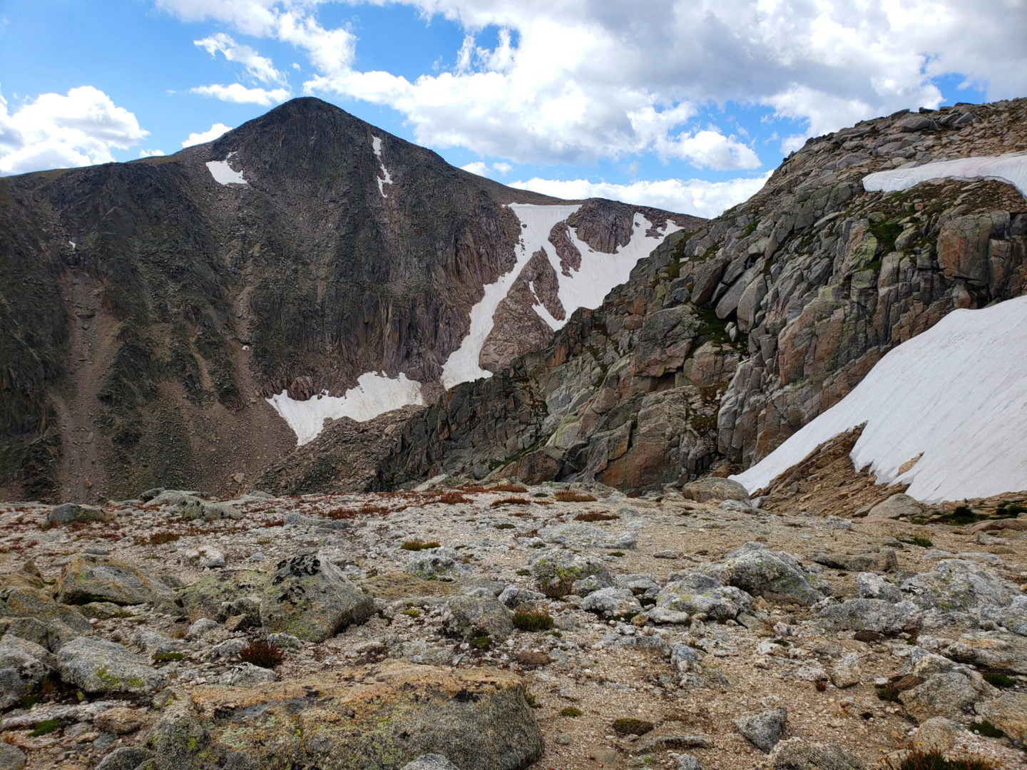
Hallett Peak from Flattop Mountain
Crossing to saddle above Tyndall Glacier
Crossing to saddle above Tyndall Glacier

Tyndall Glacier and Tyndall Gorge
Tyndall Glacier and Tyndall Gorge
Grand Lake from the saddle of Hallett Peak
Grand Lake from the saddle of Hallett Peak
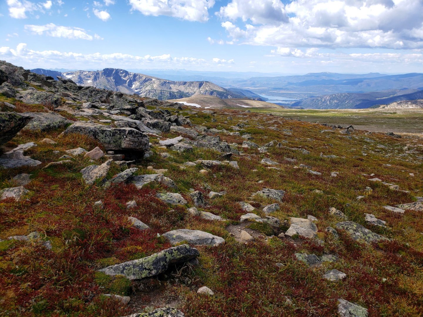
View along the Continental Divide
View along the Continental Divide

Hallett Peak summit (12,713′)
Hallett Peak summit (12,713′)

View of Otis and Taylor Peak from the Hallett Peak summit
View of Otis and Taylor Peak from the Hallett Peak summit

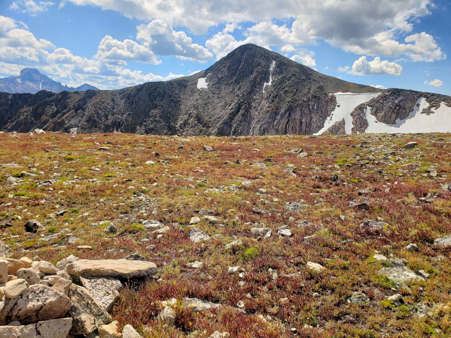
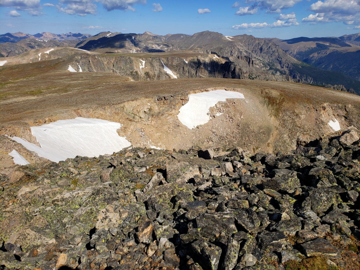
Flattop Mountain and Tyndall Glacier
Flattop Mountain and Tyndall Glacier

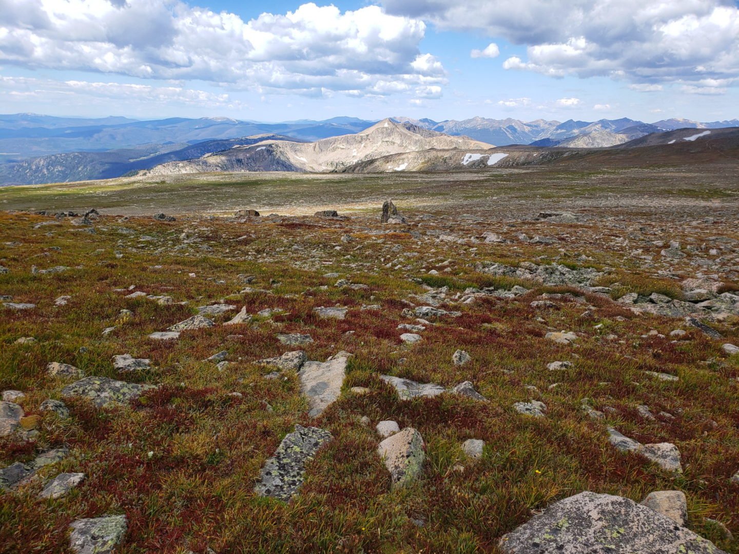
View of the ridge from the summit
View of the ridge from the summit
Flattop Mountain from the summit
Flattop Mountain from the summit

View of Flattop Mountain
View of Flattop Mountain

View of Longs Peak from the summit
View of Longs Peak from the summit

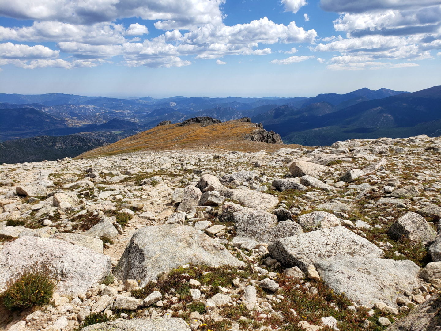
View from the summit of Flattop Mountain (12,324′)
View from the summit of Flattop Mountain (12,324′)
The peak looks very different up here
The peak looks very different up here

Nearing the summit of Flattop Mountain
Nearing the summit of Flattop Mountain
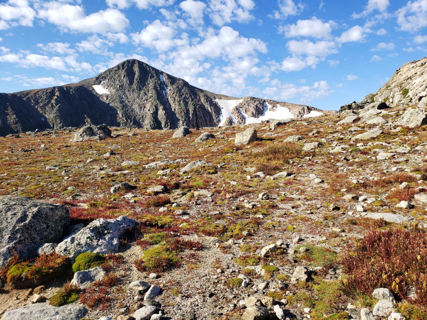
Destination on the left and Flattop Mountain on the right
Destination on the left and Flattop Mountain on the right

Emerald Lake from the Flattop Mountain trail
Emerald Lake from the Flattop Mountain trail
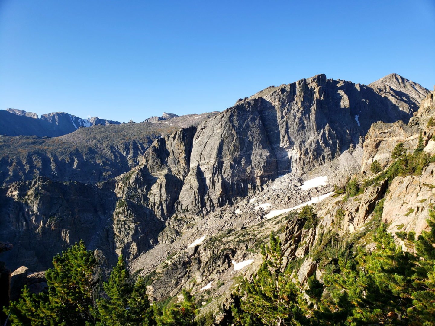
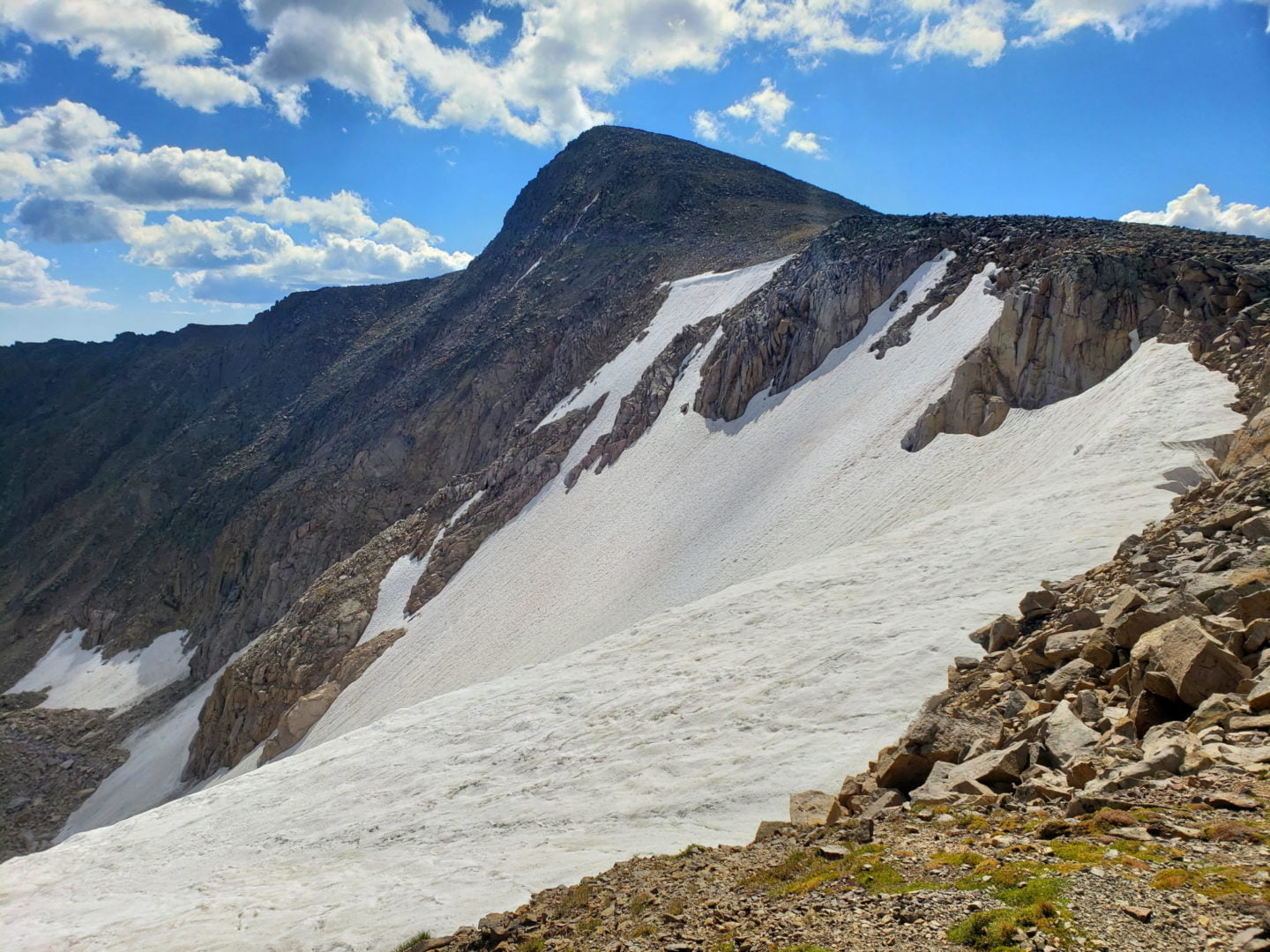
The summit on right with the tilted square block that is seen from the east side of the park
The summit on right with the tilted square block that is seen from the east side of the park

The Mummy Range to the north
The Mummy Range to the north
Near treeline along the Flattop Mountain trail
Near treeline along the Flattop Mountain trail
Dream Lake with Longs Peak (left of center) and Thatchtop Mountain.
Dream Lake with Longs Peak (left of center) and Thatchtop Mountain.

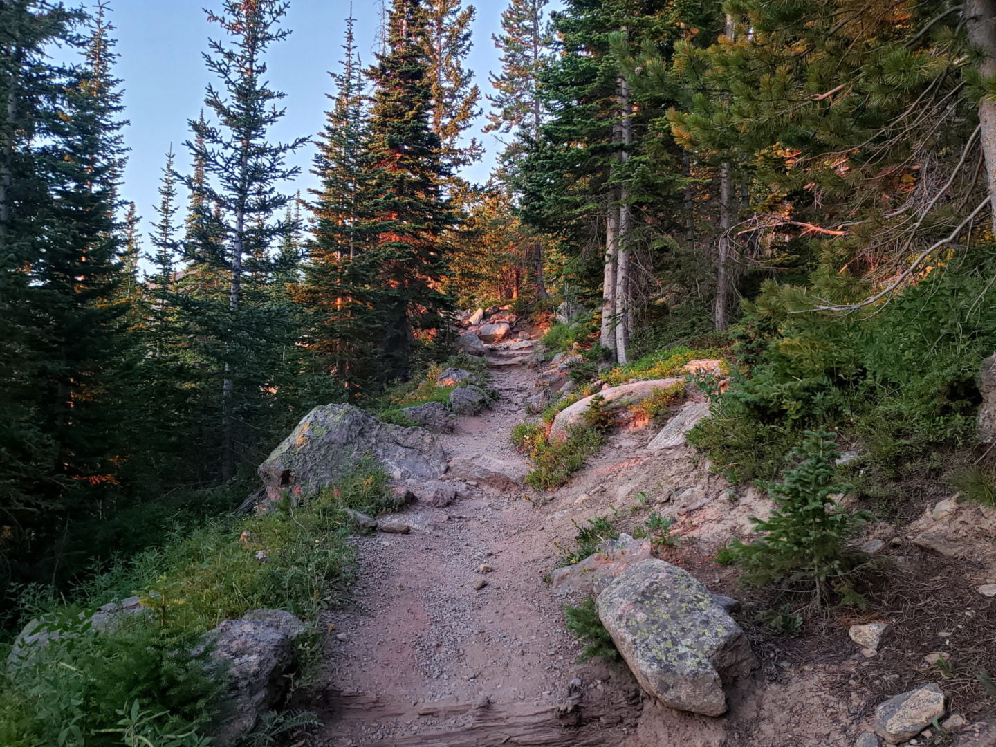
Dense forest along the Flattop Mtn. trail
Dense forest along the Flattop Mtn. trail
Aspenglow along the trail
Aspenglow along the trail

Sunrise through the dense forest
Sunrise through the dense forest
GPS Route with Elevation
Video Tour
Trail Directions
From Bear Lake take the well maintained Flattop mountain trail to the summit of Flattop Mountain. No maintained trail reaches Hallett Peak, so cross the saddle above Tyndall Glacier and scramble up steep talus to the summit.
Trailhead Directions