Mt Audubon (13,223′), Front Range
Mt Audubon is the highest peak in the Indian Peaks Wilderness that has an established trail nearly to the summit. It is located in the Brainard Lake Recreation Area, about an hour outside of Boulder.
The great 360 degree view from the summit looks out over the mountains of the Indian Peaks Wilderness to the west, Rocky Mountain National Park to the north, and the Front Range and plains to the east. Beautiful alpine lakes like Mitchell & Blue Lake and Lake Isabelle are scattered in the valleys.
Trail Stats
- Trailhead: Beaver Creek Trail (at Mitchell Lake parking lot)
- Round trip: 8 miles / 12.9 km
- Elevation: 10,350′ – 13,223′ / 3,155m – 4,030m
- County: Boulder
- Agency: U.S. Forest Service
- Nat’l Forest: Roosevelt
- Nat’l Wilderness: Indian Peaks

Trail Pictures
Mt Audubon 13,223′
Mt Audubon 13,223′
View near the trailhead looking west
View near the trailhead looking west
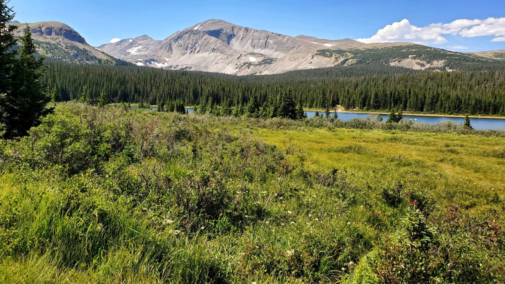
View of Mitchell Lake
View of Mitchell Lake

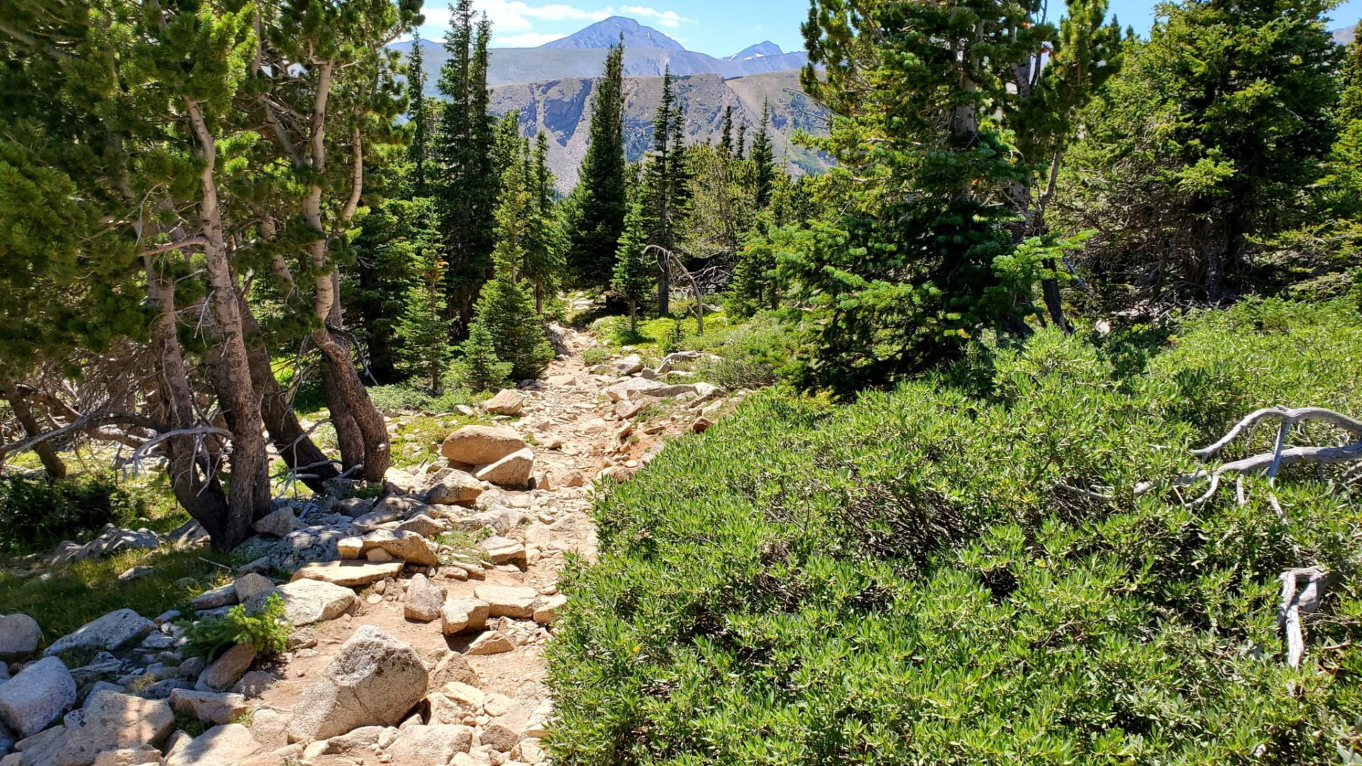
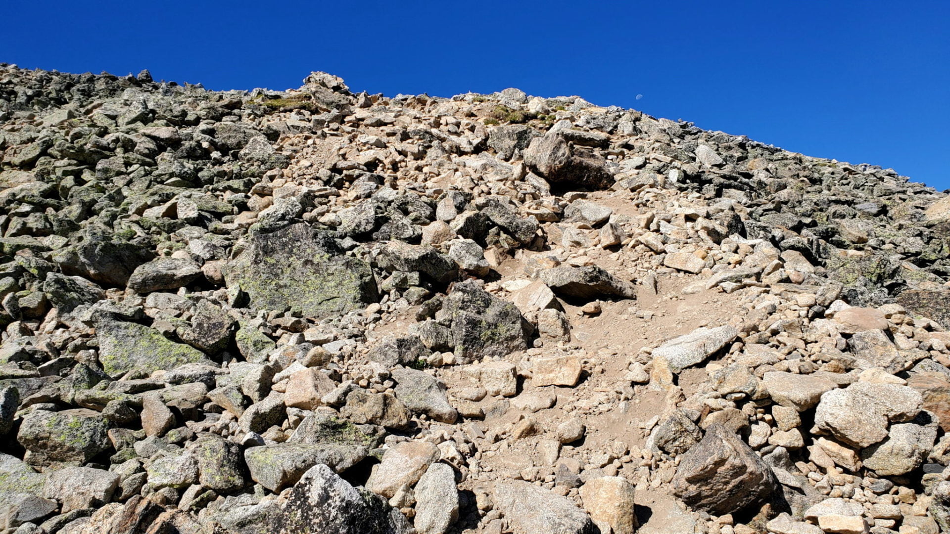
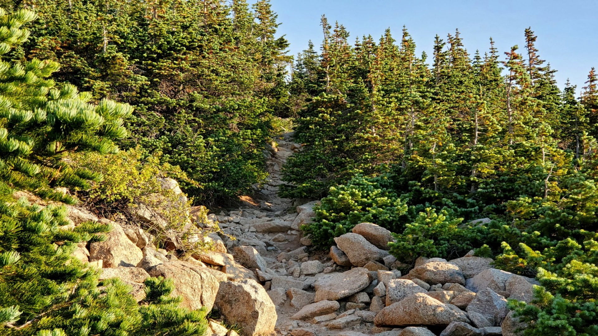
The trail is deceptively rocky
The trail is deceptively rocky
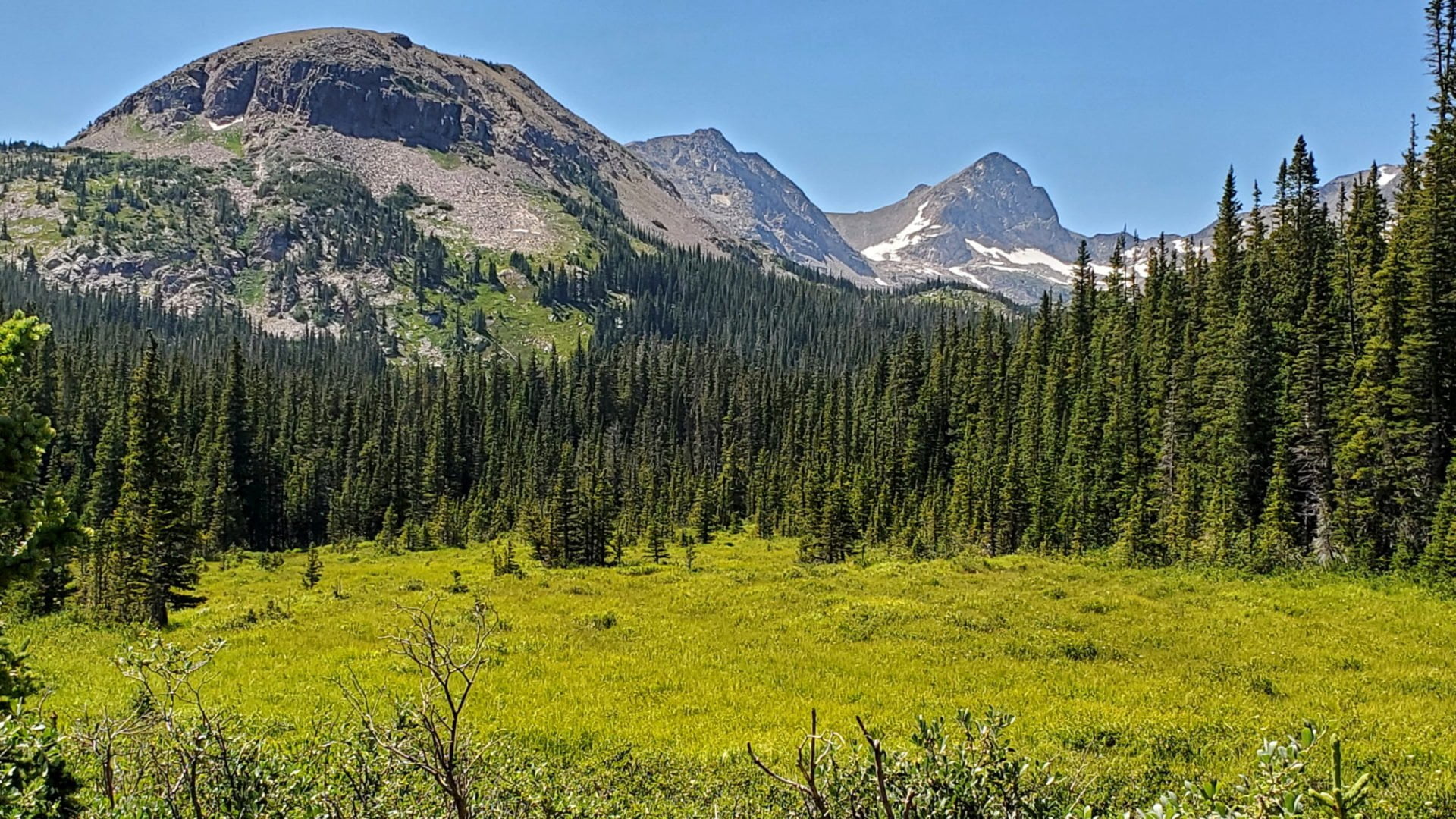
Near treeline
Near treeline
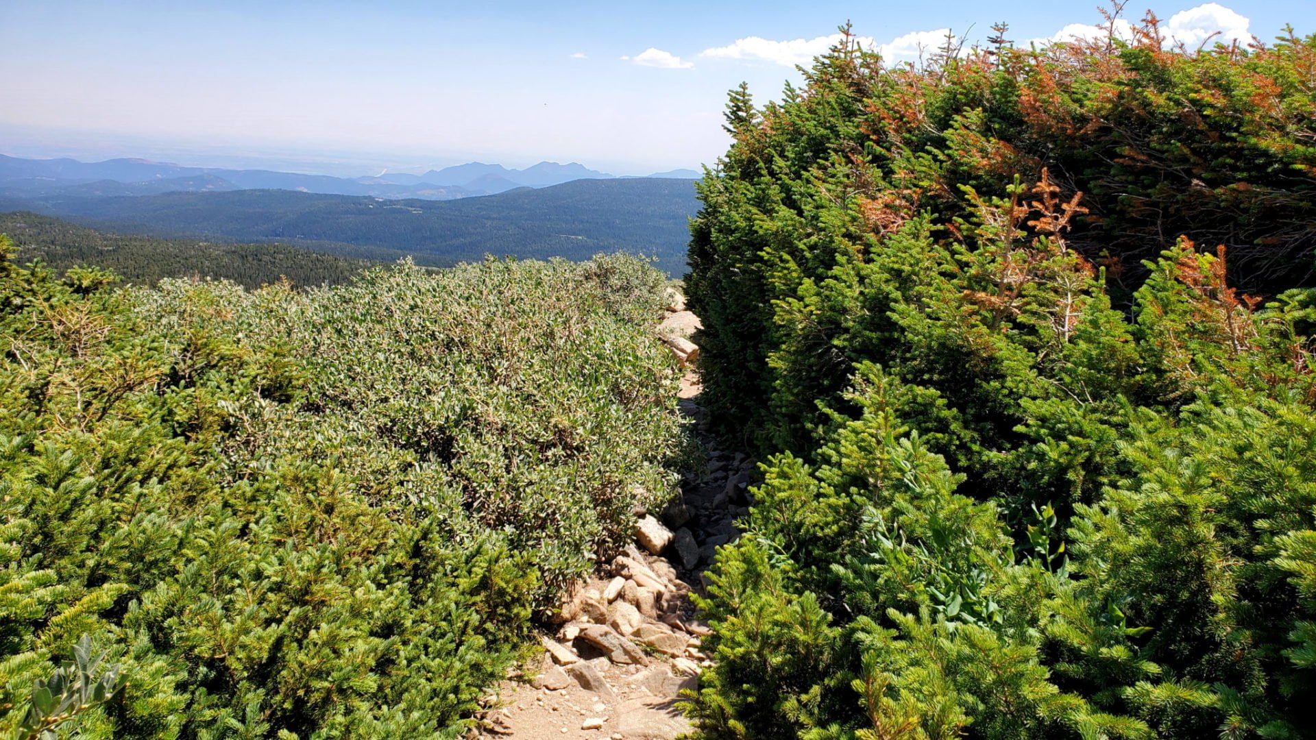
Willows on the left, Bristle cone pines on the right
Willows on the left, Bristle cone pines on the right

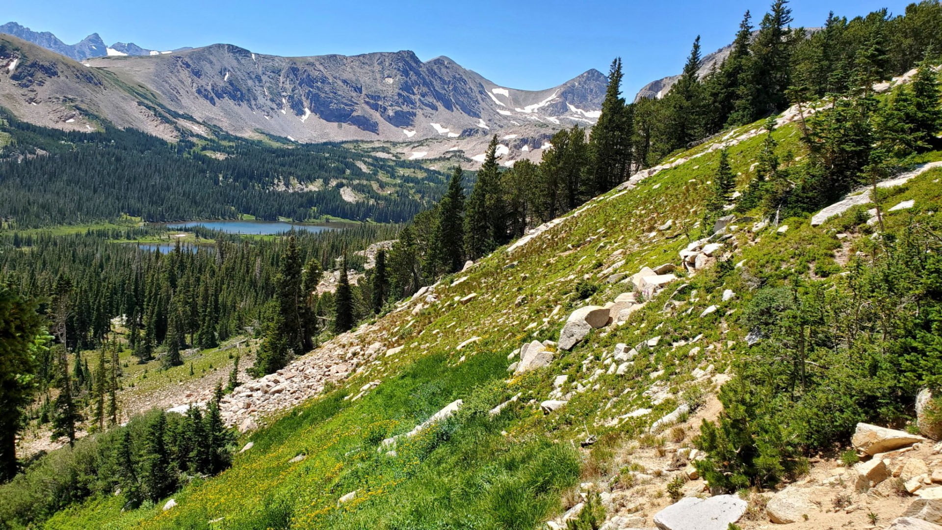
View of Mt Audubon looking west on the tundra
View of Mt Audubon looking west on the tundra
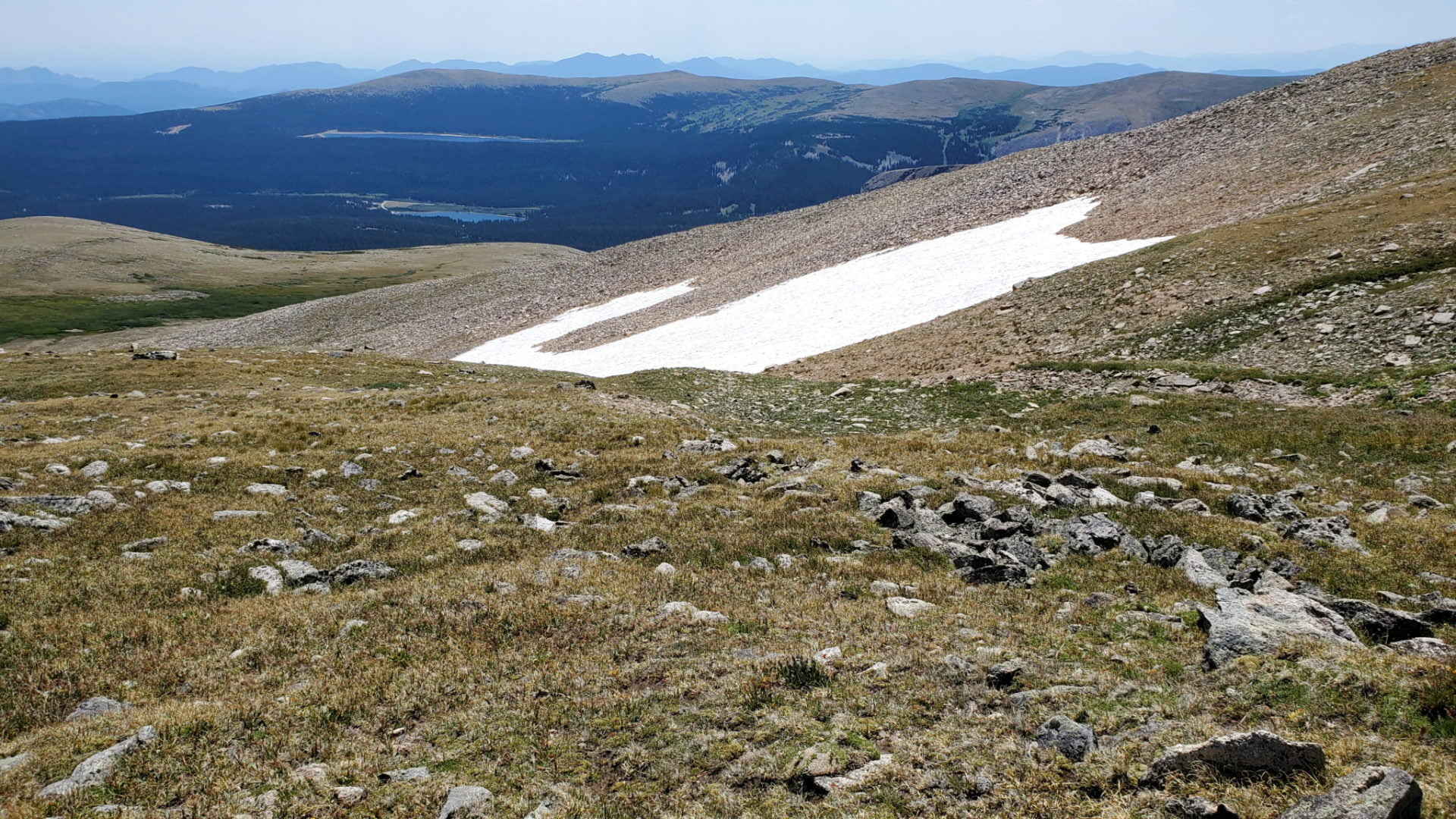
Last of the winter snow with reservoirs in the distance
Last of the winter snow with reservoirs in the distance

The trail marked by cairns
The trail marked by cairns
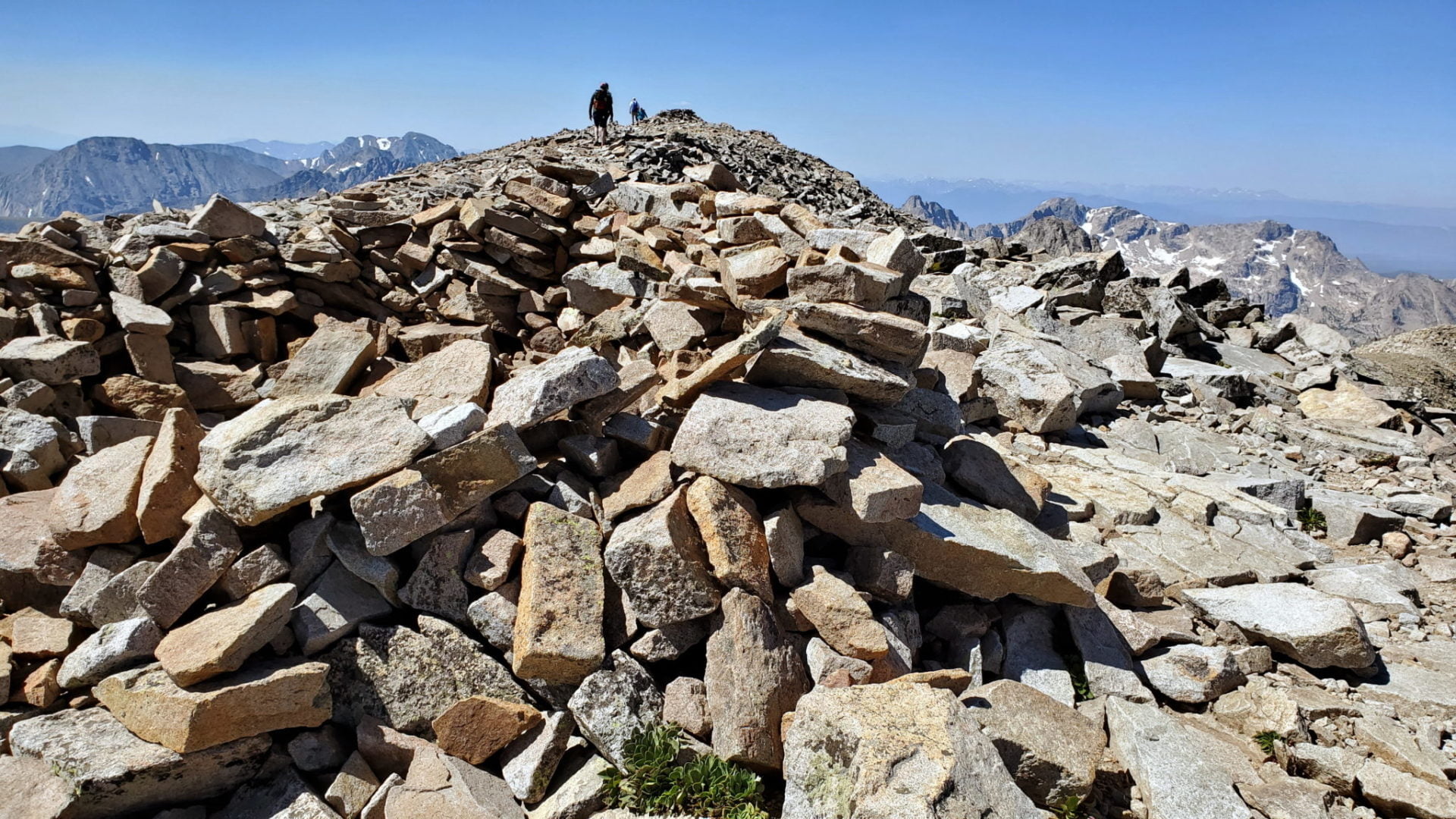
The summit just ahead
The summit just ahead
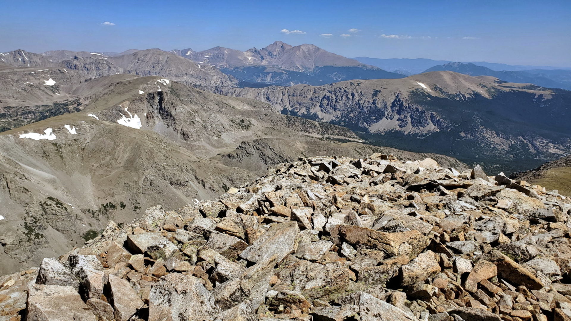
View of Longs Peak in Rocky Mountain National Park
View of Longs Peak in Rocky Mountain National Park

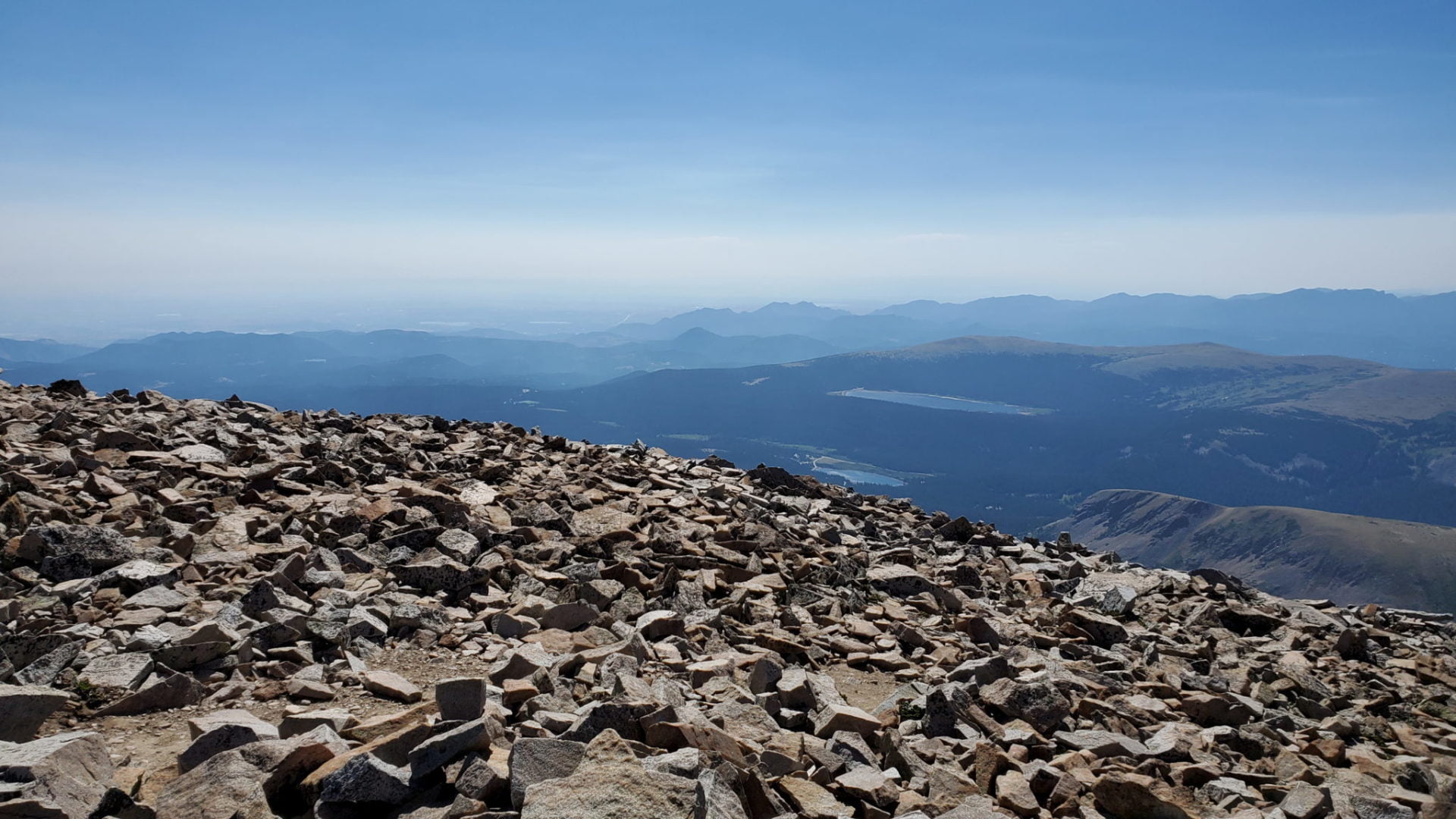
Views east from the summit with haze from wildfires
Views east from the summit with haze from wildfires
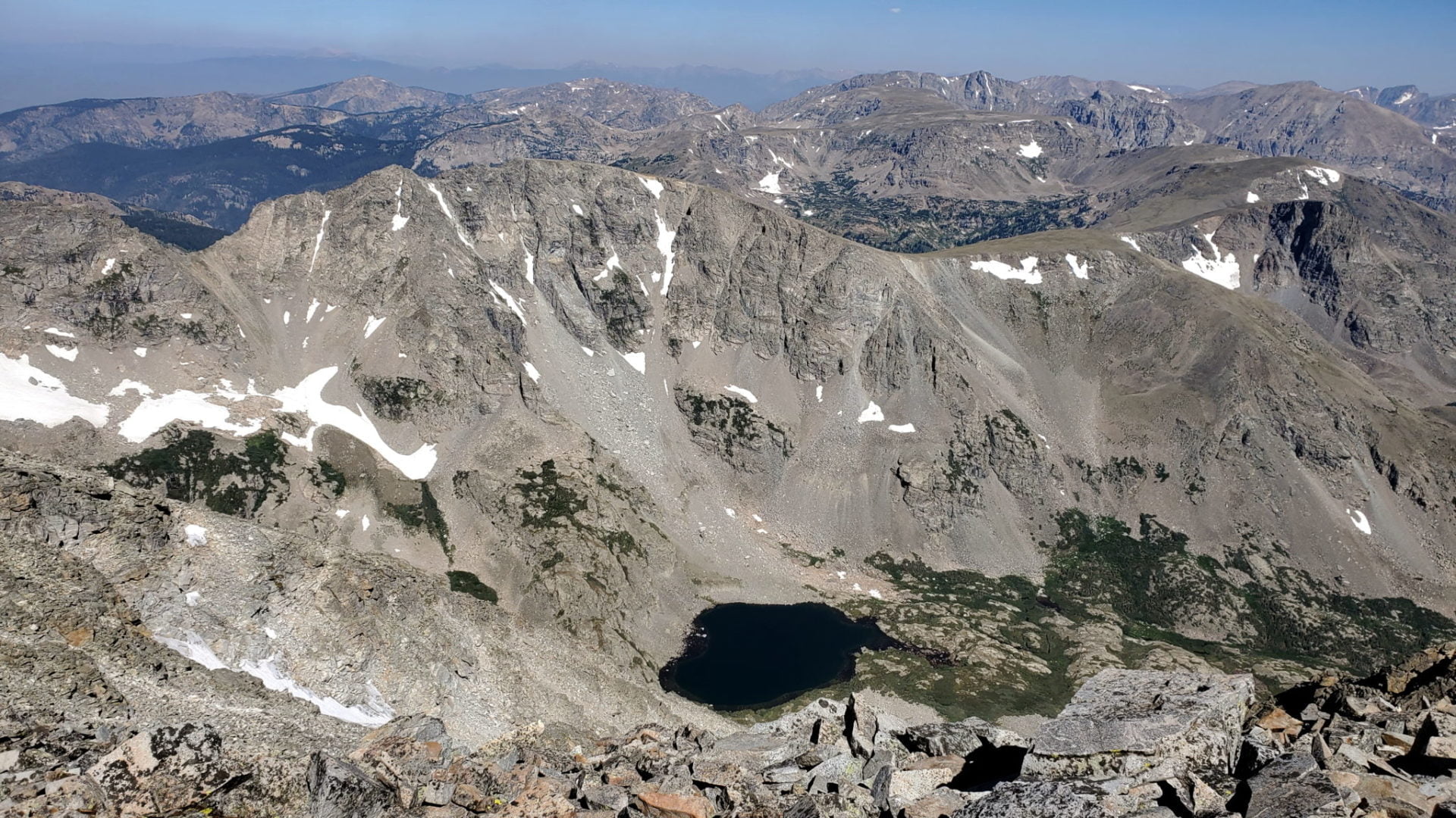
Upper Coney Lake below
Upper Coney Lake below
Paiute Peak 13,088′
Paiute Peak 13,088′

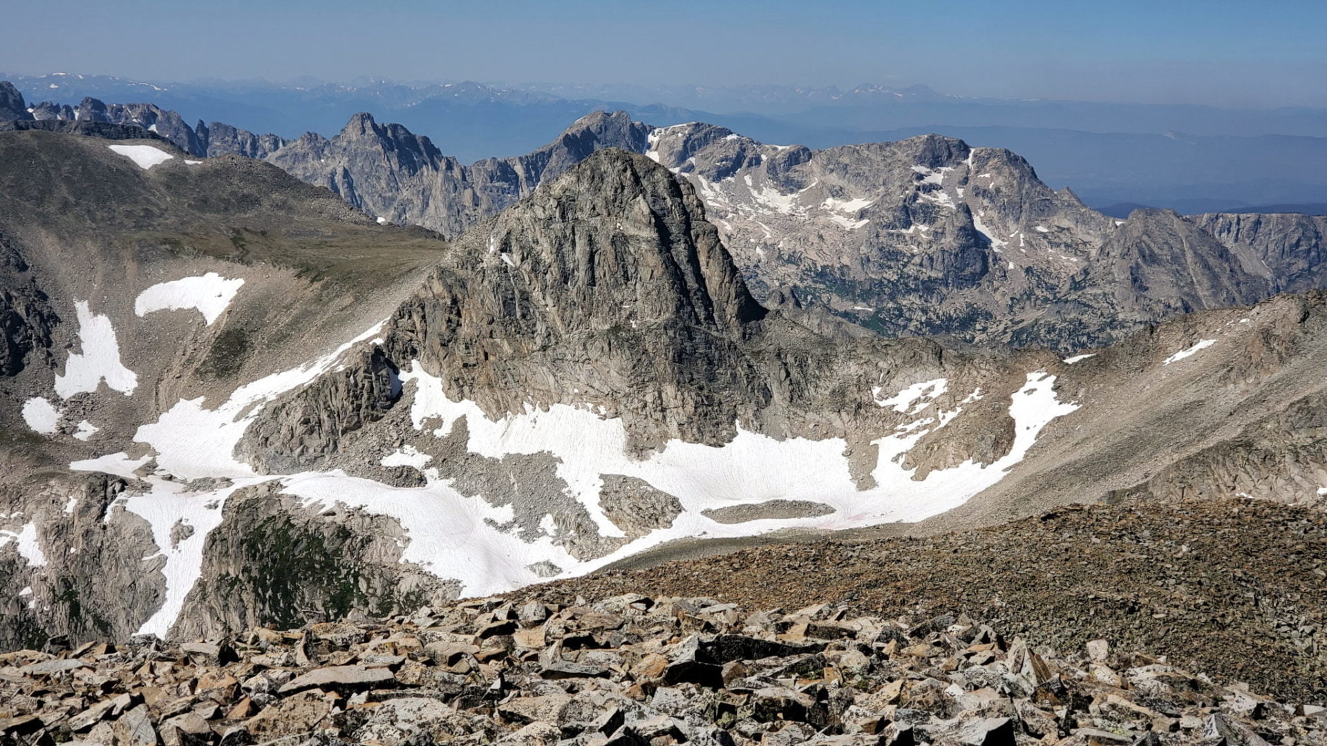
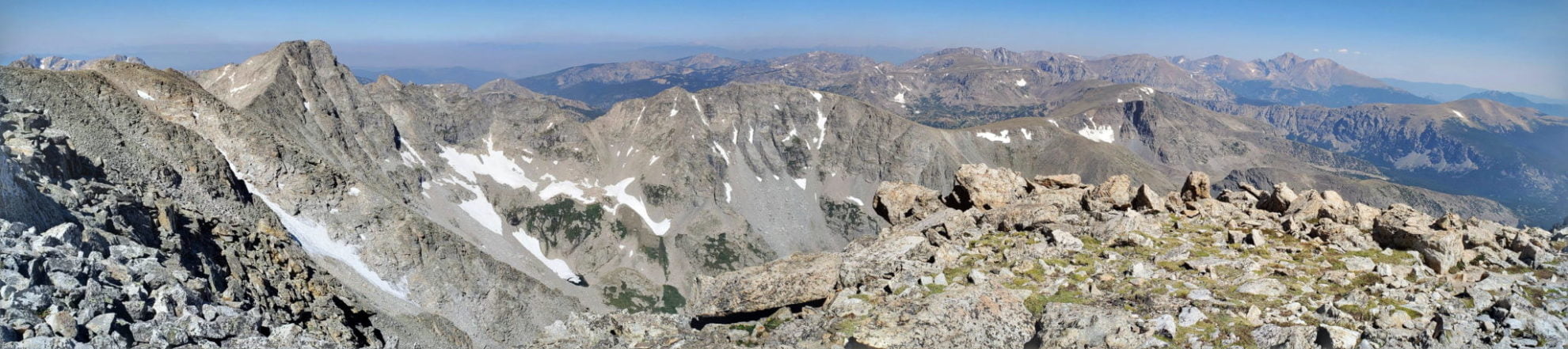
View into the Indian Peaks Wilderness from the summit
View into the Indian Peaks Wilderness from the summit

More summit views
More summit views
View to the southeast of the Front Range
View to the southeast of the Front Range
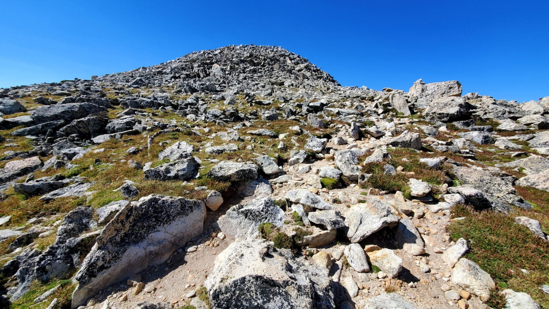
A false summit ahead
A false summit ahead
On the last 600′ of vertical distance to the summit
On the last 600′ of vertical distance to the summit
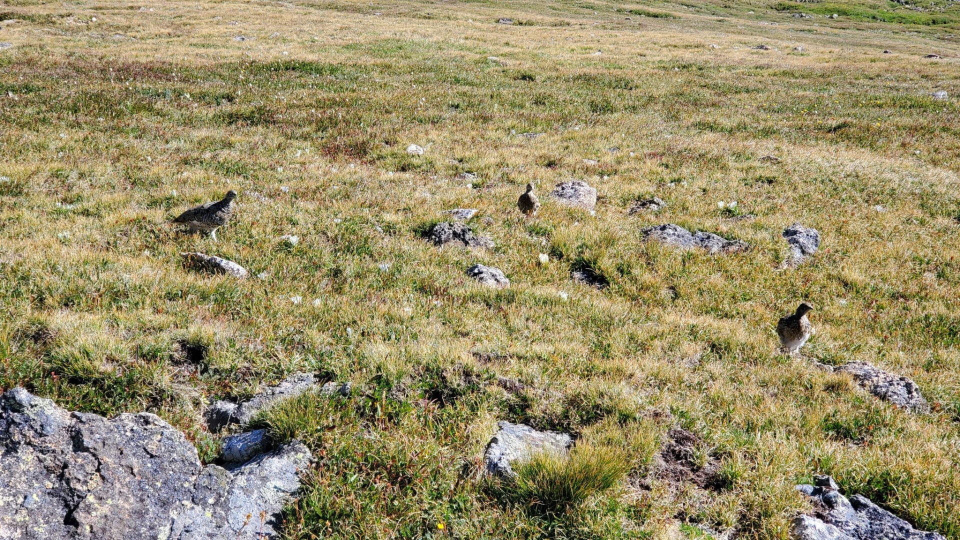
3 Ptarmigans along the trail
3 Ptarmigans along the trail
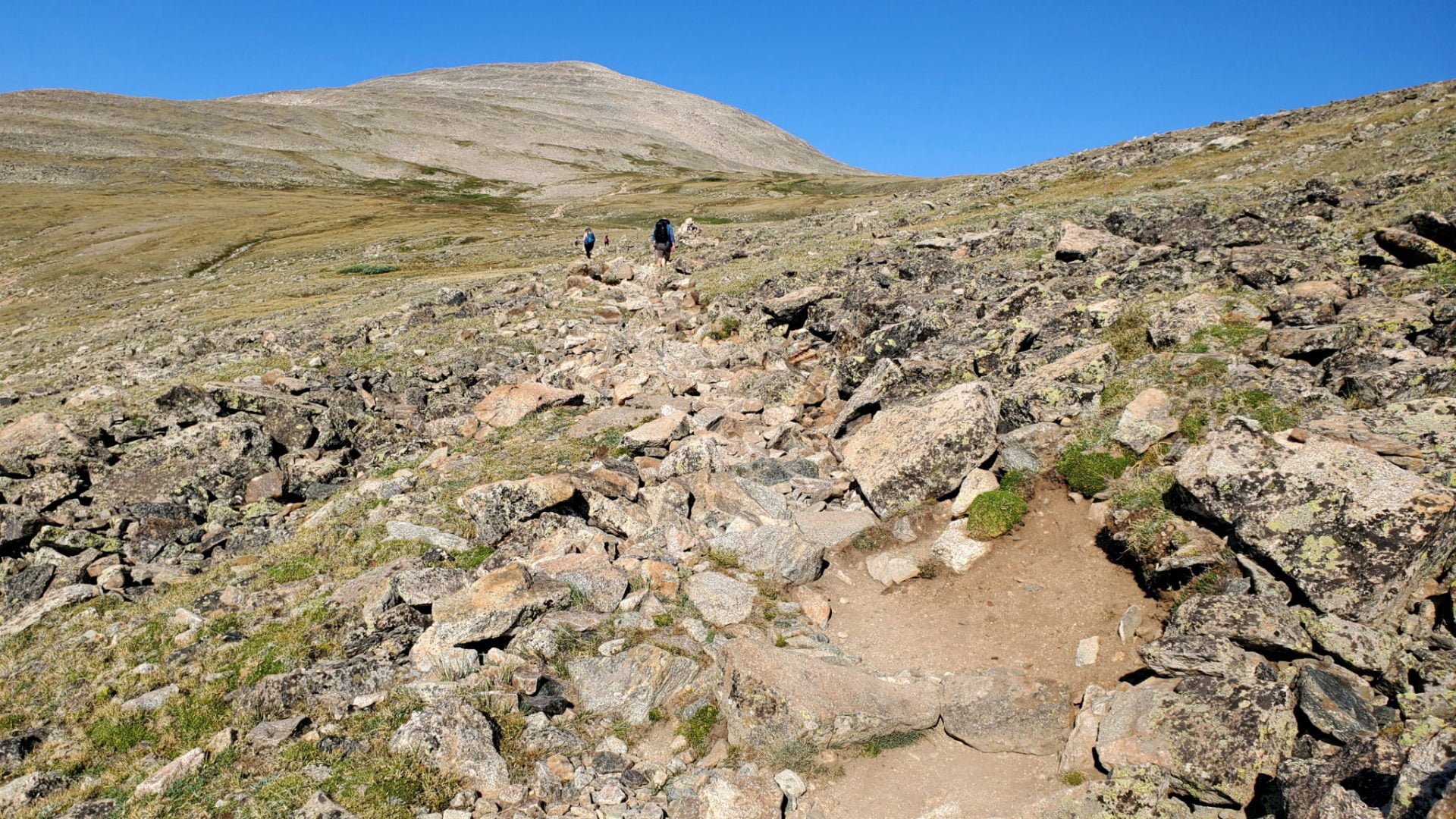
A busy trail
A busy trail
View of the Front Range to the east
View of the Front Range to the east
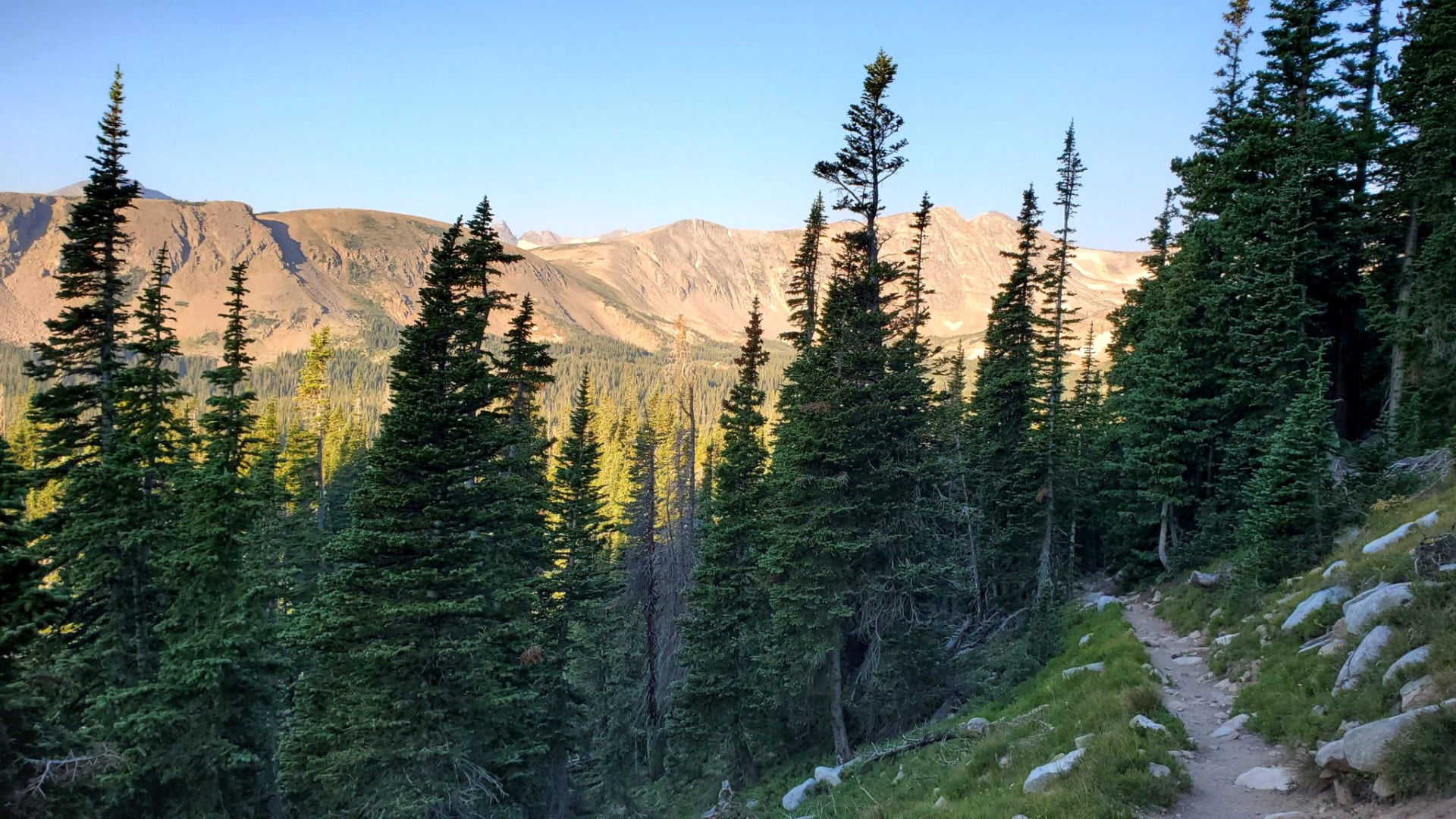
Just below treeline
Just below treeline
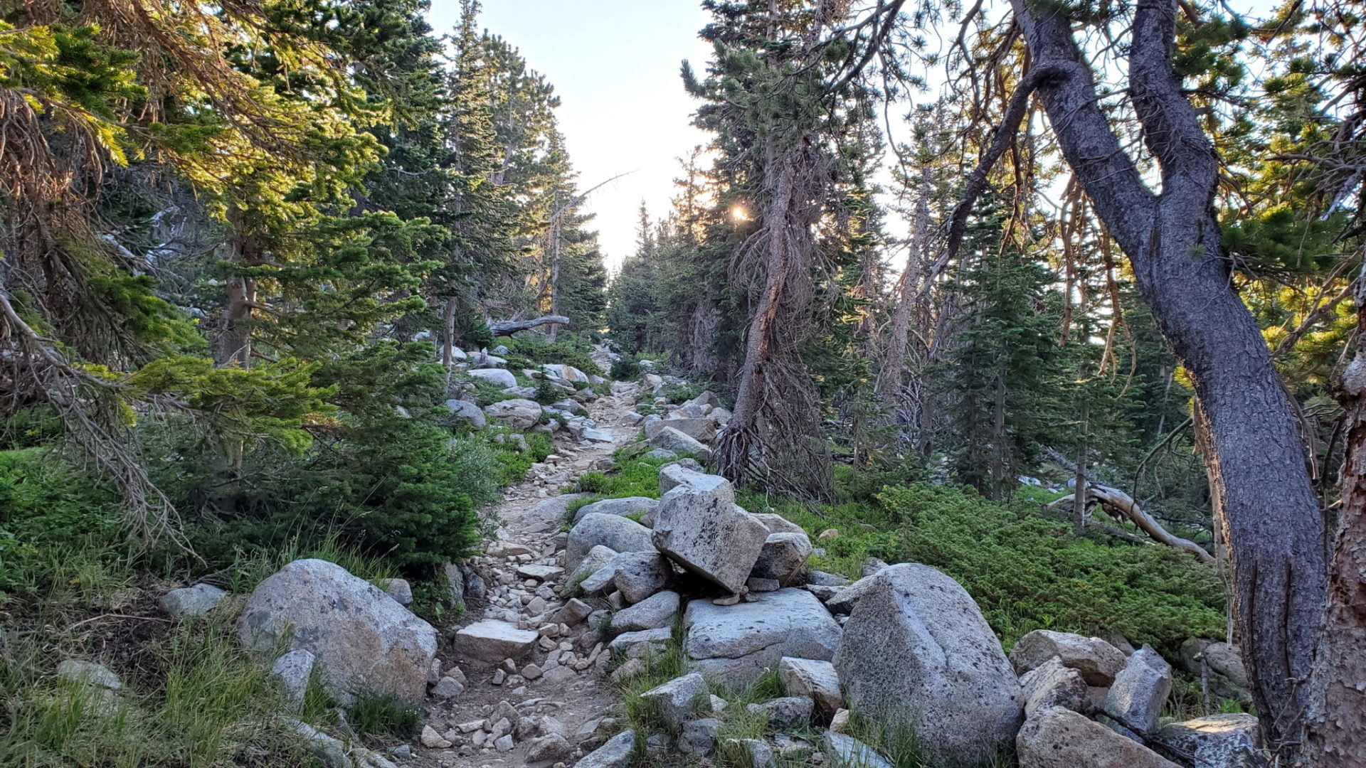
Early morning along the rugged trail
Early morning along the rugged trail
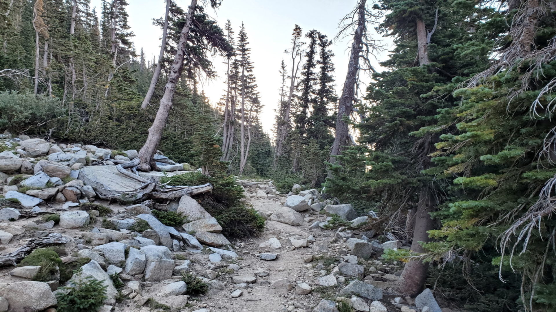
Sunrise along the Beaver Creek trail
Sunrise along the Beaver Creek trail
Just past the trailhead before sunrise
Just past the trailhead before sunrise
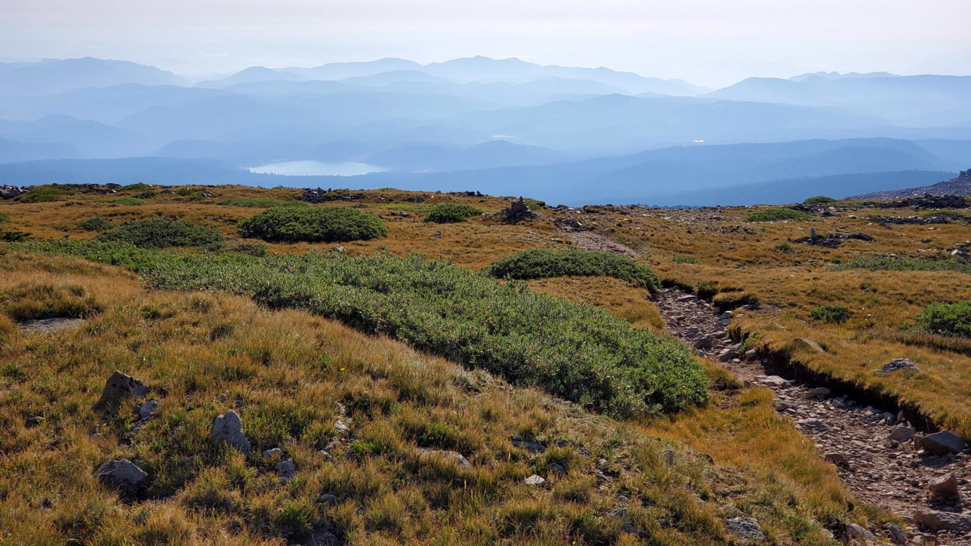
View to the northwest from the summit
View to the northwest from the summit
GPS Route with Elevation
Video Tour
Trail Directions
The Beaver Creek Trail enters the Indian Peaks Wilderness and climbs through the trees for 1.7 miles. At the first junction head west (left) onto the Mount Audubon Trail as it heads west.
The Mount Audubon Trail continues climbing above timberline. The trail ends at the saddle where, there is a view down into the Coney Lake drainage. For the final half-mile, and 600 vertical feet, follow the rock cairns up the talus to the summit.
Trailhead Directions