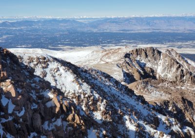
Pikes Peak (14,109′), Front Range
Pikes Peak is the highest summit of the southern Front Range of the Rocky Mountains in North America. The prominent 14,109-foot fourteener is located in Pike National Forest, 12 miles (19 km) west of downtown Colorado Springs, Colorado. The summit is higher than any point in the United States east of its longitude. The uppermost portion of Pikes Peak, above 14,000 feet (4,267 m) elevation, was declared a National Historic Landmark in 1961.
The mountain and it’s flanks offer great hiking, such as Pancake Rocks and the Crags. The other 14,000′ peak in Colorado with a paved road to nearly the summit is Mt Evans.
Trail Stats
- Rating – Easy
- Road: Pikes Peak Hwy
- Round trip: 36 miles / 58 km
- Elevation: 7,400′ – 14,109′ / 2,256 m – 4,300 m
- County: El Paso
- Agency: U.S. Forest Service
- National Forest: Pike
Trail Pictures
Pikes Peak Hwy is well maintained but without guardrails
Pikes Peak Hwy is well maintained but without guardrails
GPS Route with Elevation
Video Tour
Trail Directions
Take HWY 24 west from Colorado Springs for approximately 14 miles until you see the sign for the Pikes Peak Hwy. Turn left and follow the signs.
The road is paved but lacks guard rails so can be unsettling for first time mountain drivers.
This is a toll road with an entrance fee at the base of the mountain.
Trailhead Directions


this app is amazing