Mt Sneffels (14,155′), San Juan Range
Mt Sneffels is the second highest summit in the San Juan mountains and known as the “Queen of the San Juans”. Mt Sneffels is situated in the Mt Sneffels Wilderness of the Uncompahgre National Forest. There are only 15 miles of constructed trails in the 16,587 acre wilderness, making it truly wild.
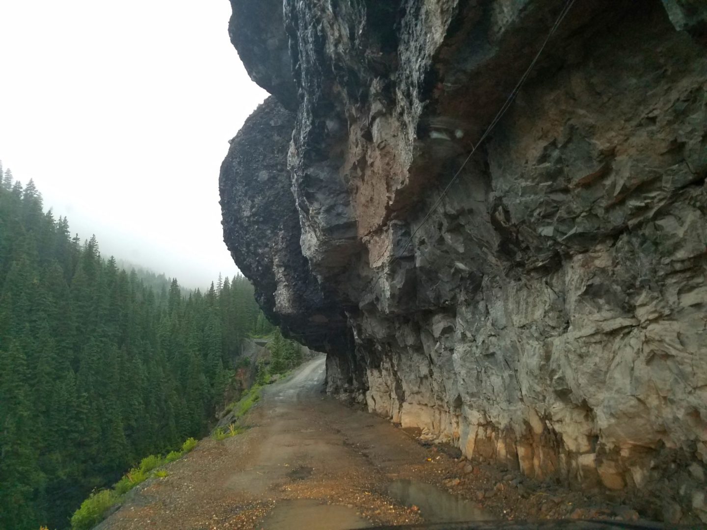
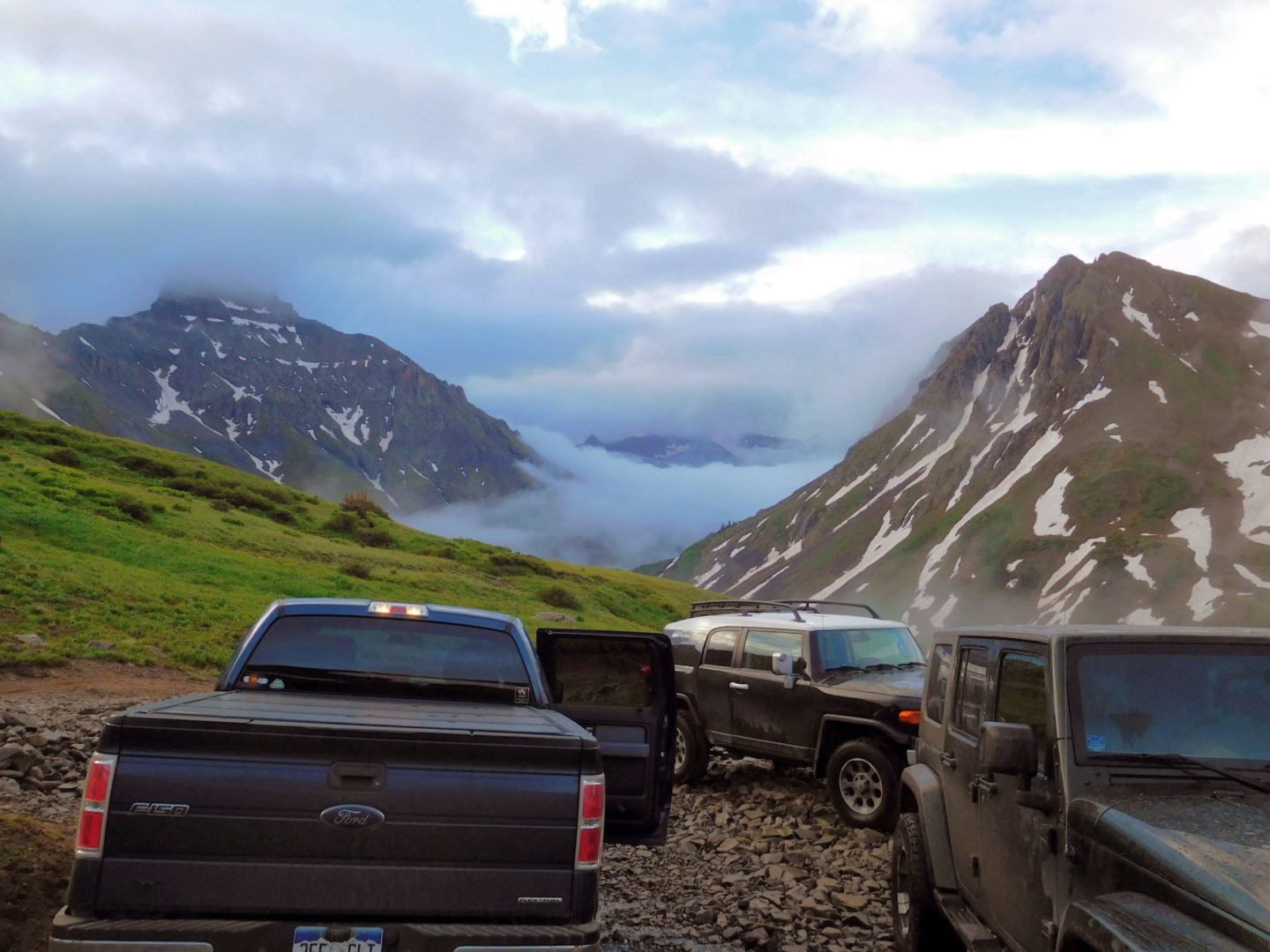
Starting at the upper trailhead involves a rough road accessible with a 4WD vehicle. The lower trailhead is more accessible to 2WD vehicles, 1.25 miles below the upper trailhead.
The San Juan Range is home to world class outdoor recreation. American Basin, California & Hurricane Pass, and Stony Pass are a couple of examples of the natural beauty of the area.
Trail Stats
- Trailhead: Yankee Boy Basin upper trailhead
- Round trip: 2.5 miles / 4km
- Elevation: 12,460′ – 14,155′ / 3,797 m – 4,314 m
- County: San Juan
- Agency: U.S. Forest Service
- Nat’l Forest: Uncompahgre
- Nat’l Wilderness: Mt Sneffels
Trail Pictures
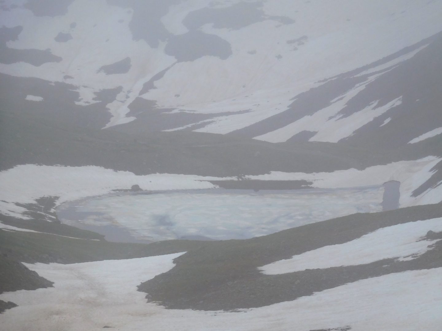
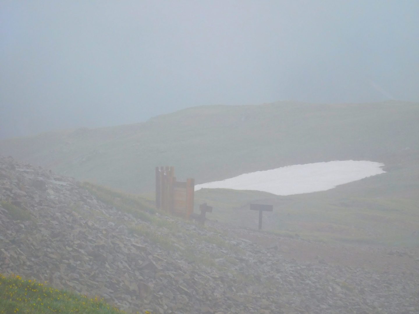
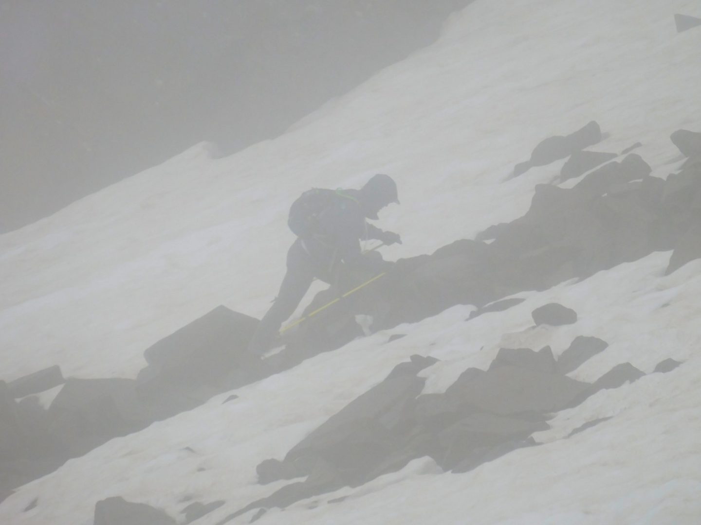
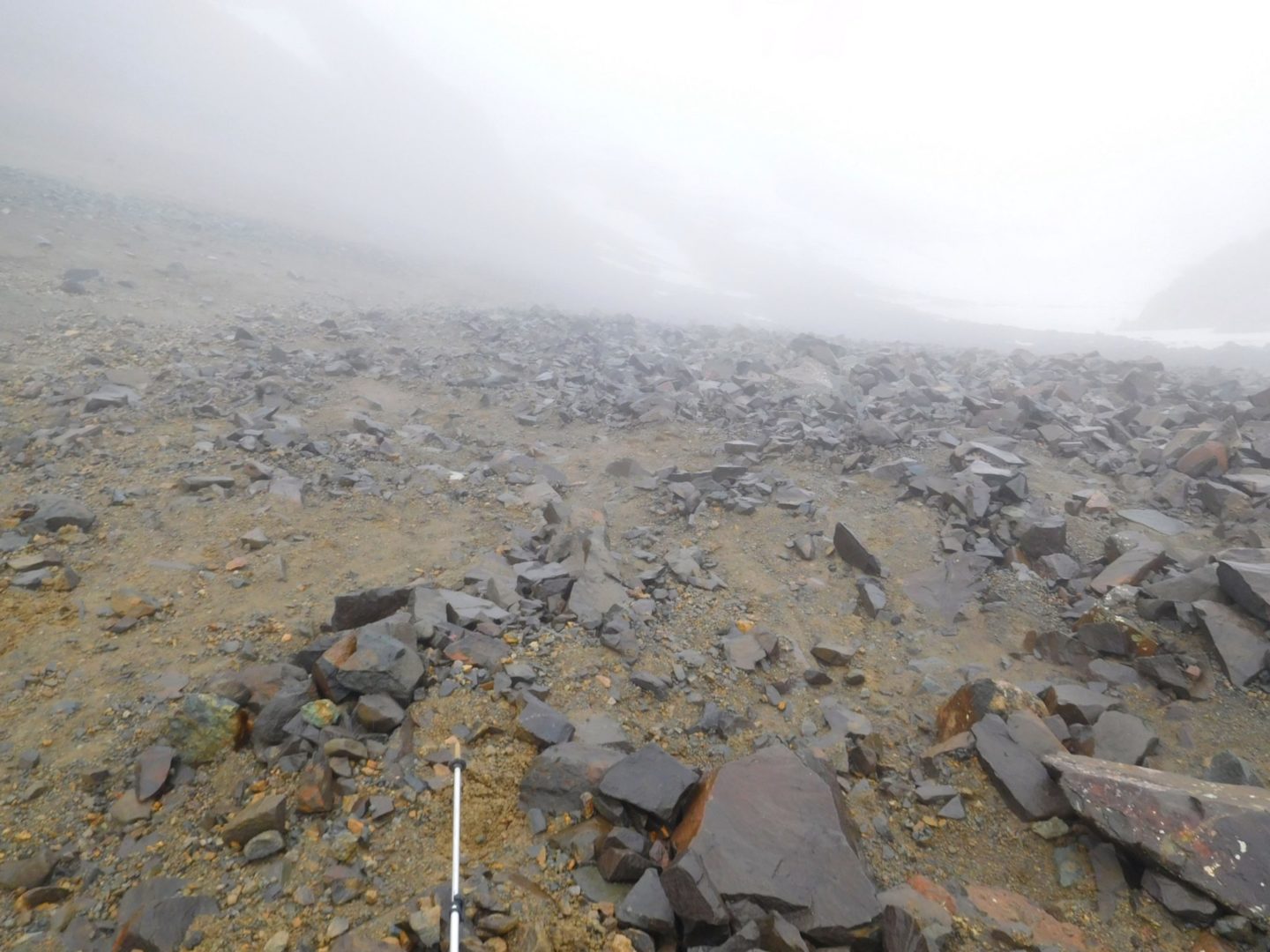
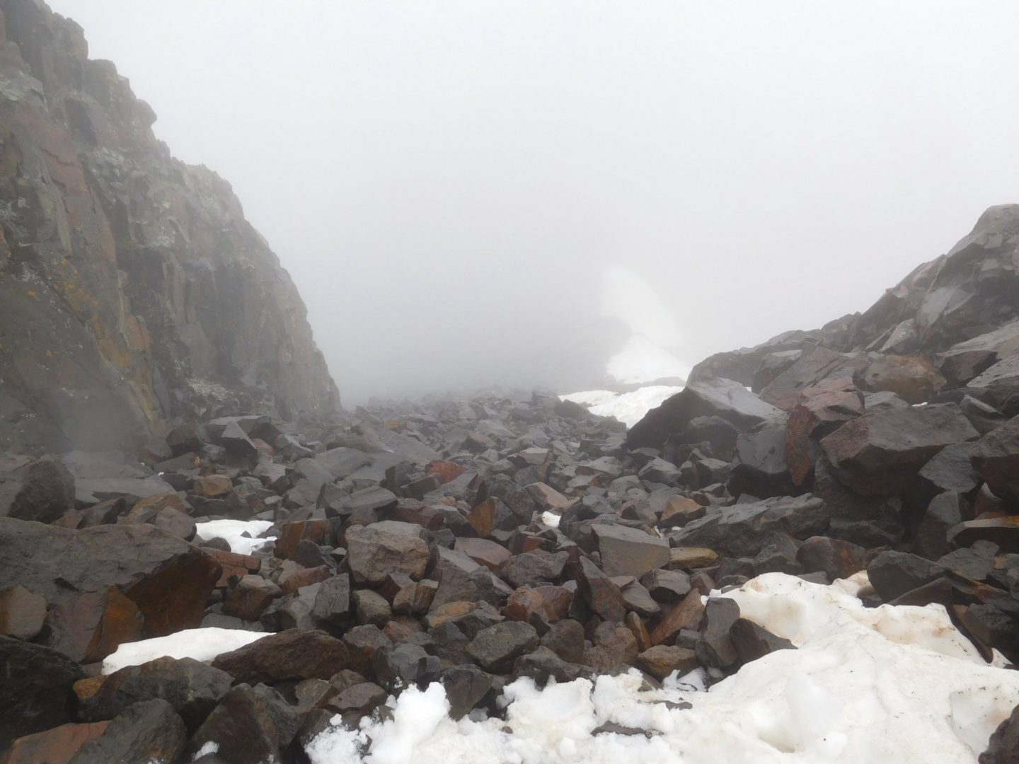
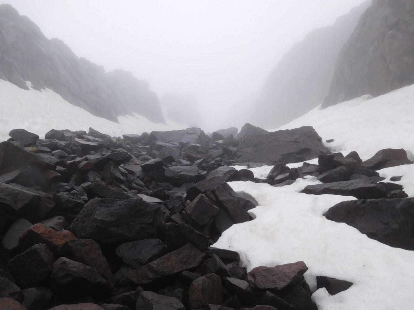
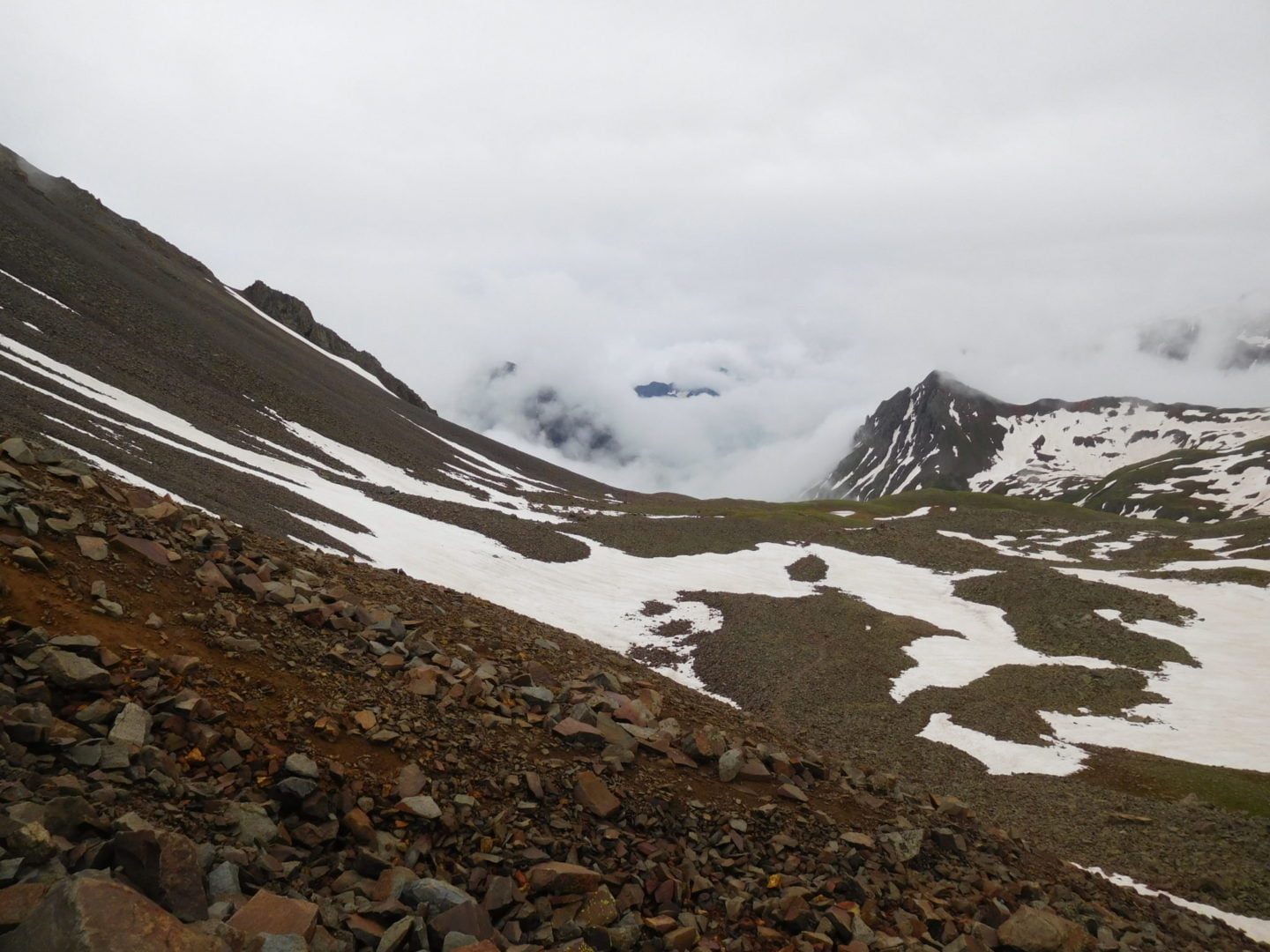
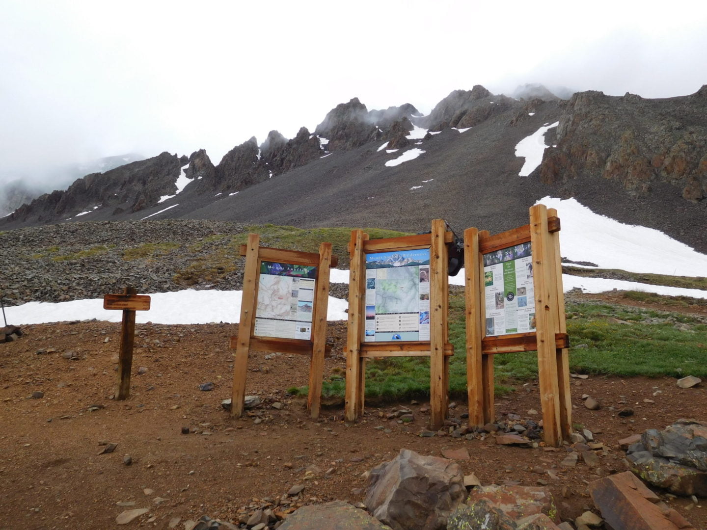
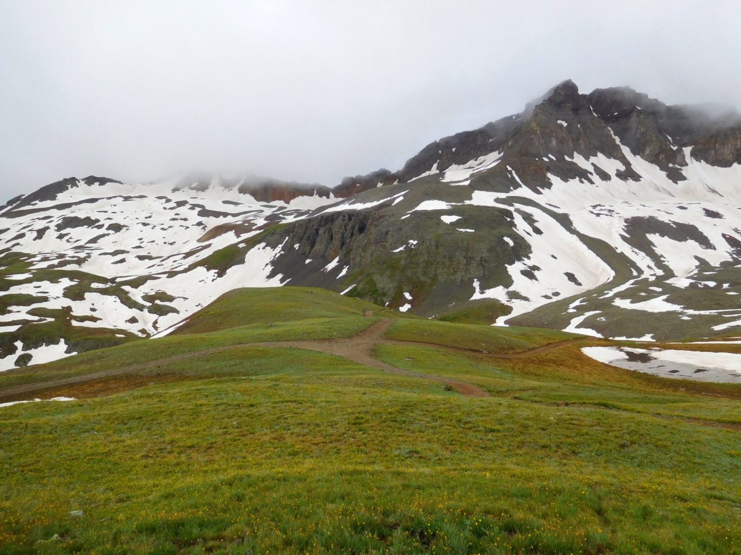
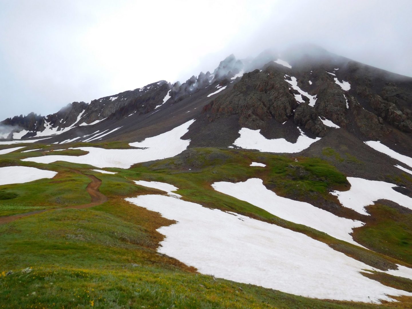
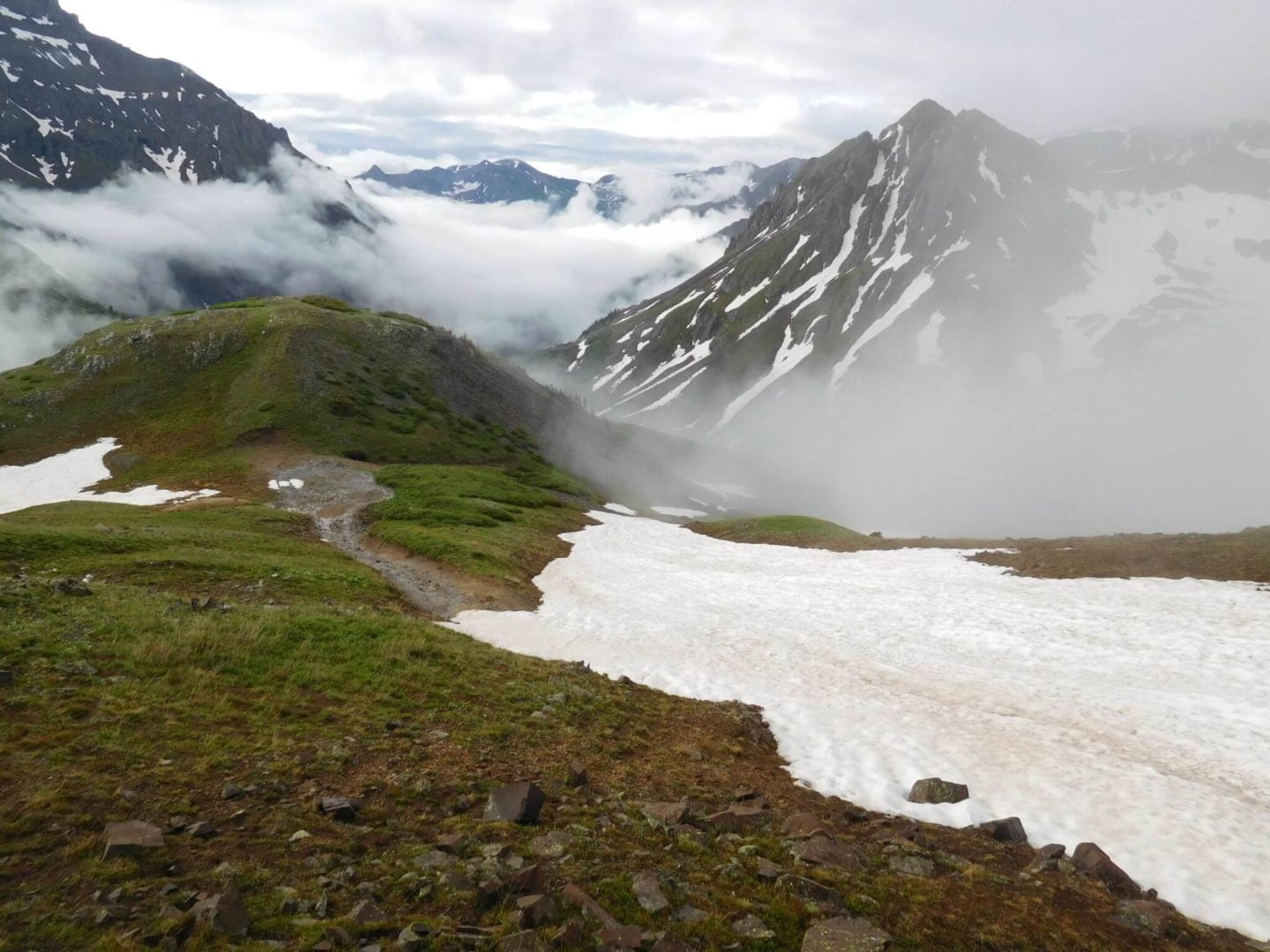
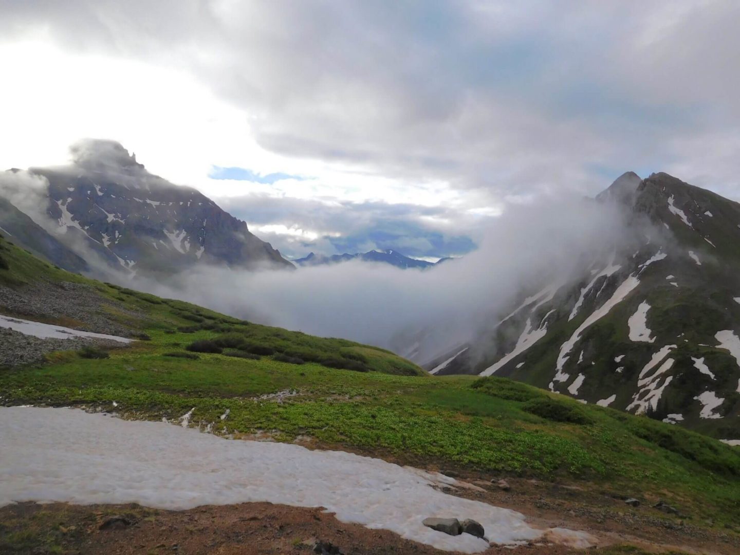
Hopes of clearing weather, instead it was getting thicker
Hopes of clearing weather, instead it was getting thicker
GPS Route with Elevation
Video Tour
Trail Directions
The route description follows the standard route via Lavender Couloir.
From the Yankee Boy upper trailhead follow the trail until you reach the Blue Lakes Trail junction. Head right at the junction, hiking up a low-grade rocky trail before turning right up a steep gully. Continue for around 500 ft vertical gain up the loose dirt/gravel on unclear trail. Despite its grade, there are no switchbacks here, so this bit is brutal.
Reach a saddle at 13,500 ft, and turn left up Lavender Couloir. This gully is of similar grade but composed primarily if larger talus blocks. It funnels hikers up to just below 14,000 ft. This part of the mountain is fairly shaded, so the top if often full of snow into July. As the gully narrows and becomes cliffed out near the top, angle to the left, and pass through a V-notch (the most difficult part). Continue along a vague trail, angling up and to the right. The summit is only about 100 ft up and is clear from this point. Hike up along some solid rock to reach the summit.


