Argentine Pass (13,207′), Front Range
Argentine Pass (13,207′), Front Range
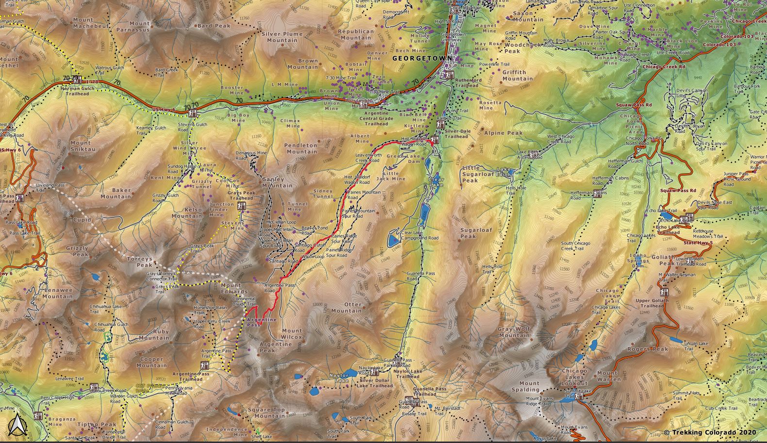
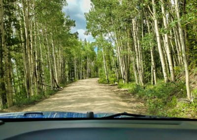
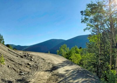
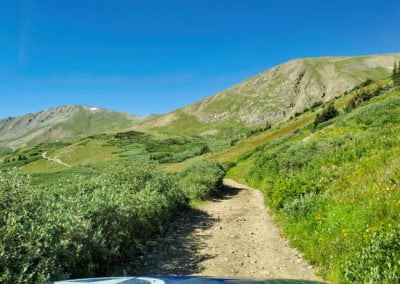
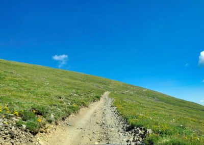
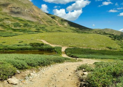
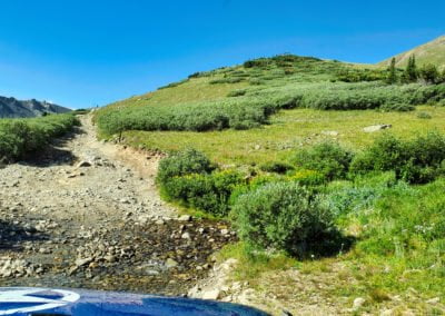
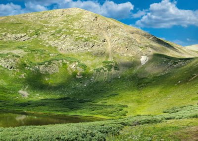
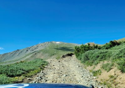
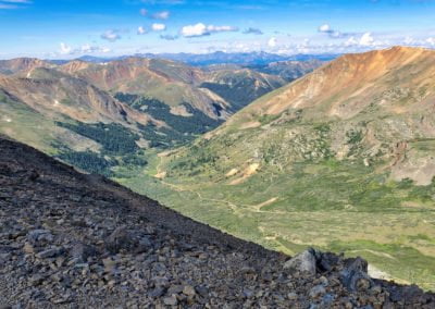
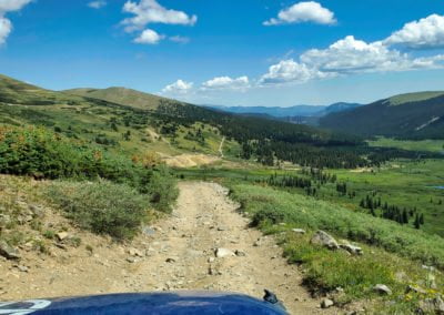
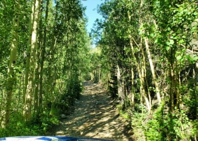
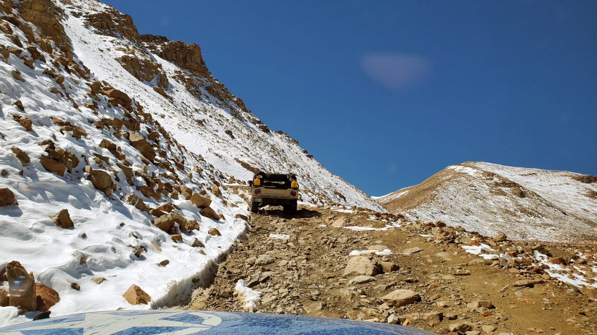
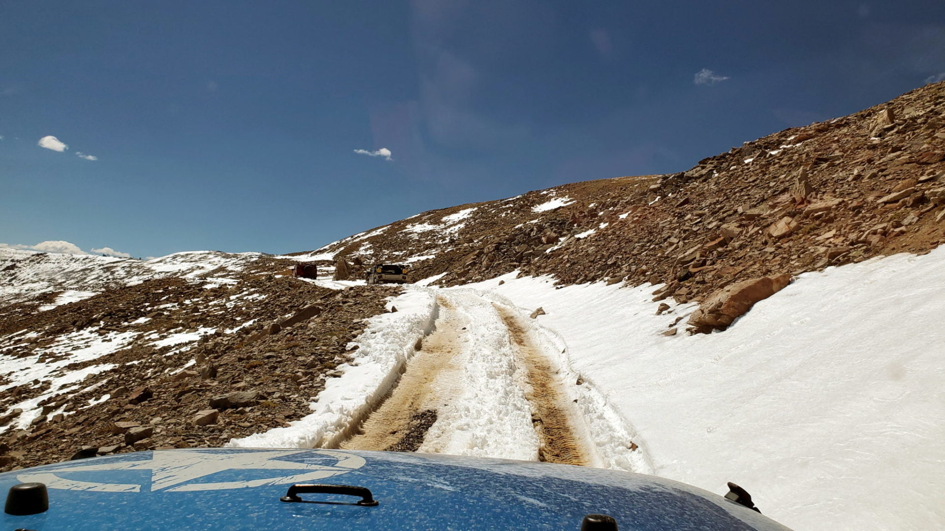
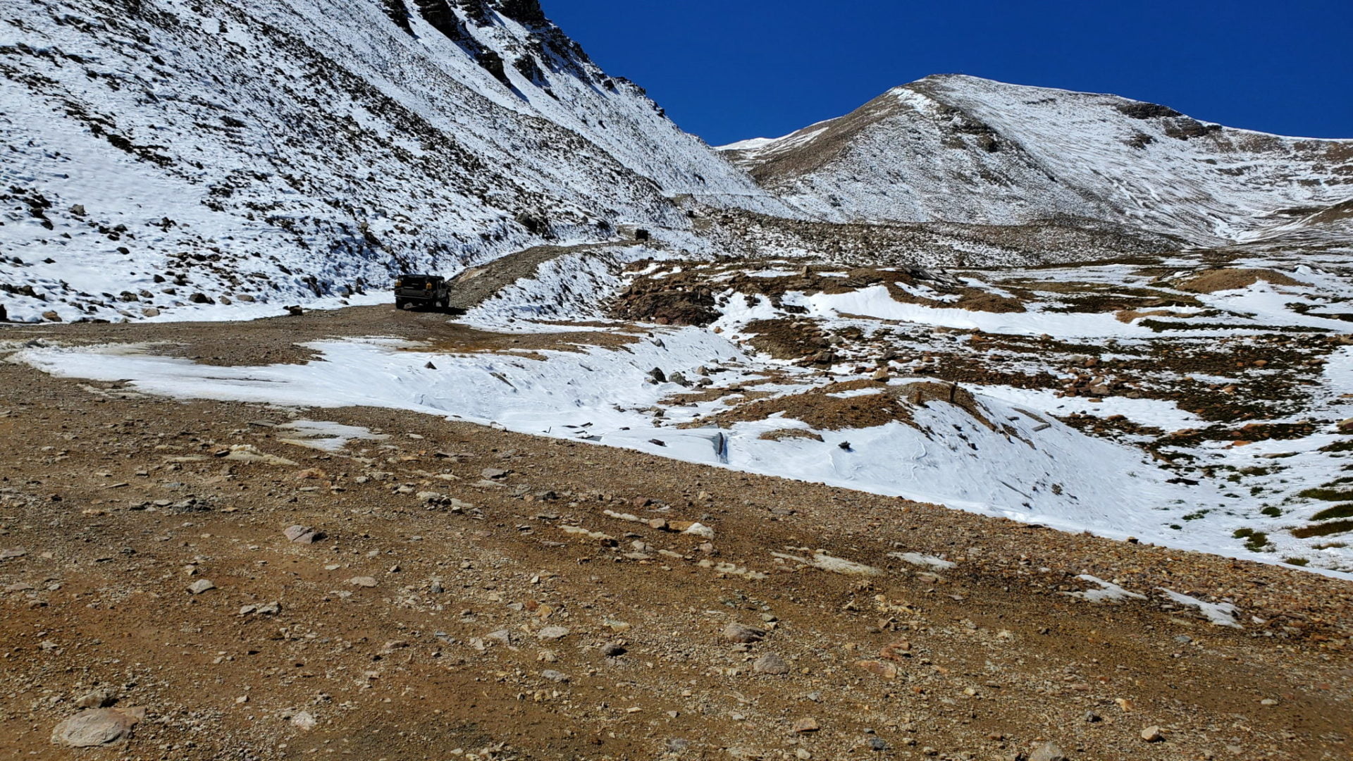
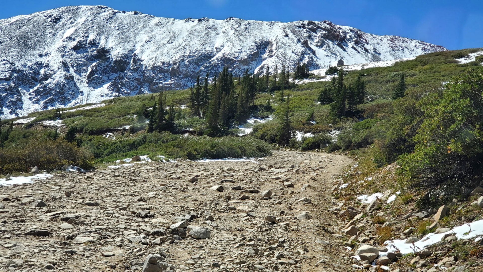
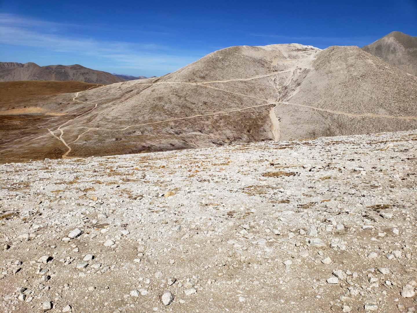
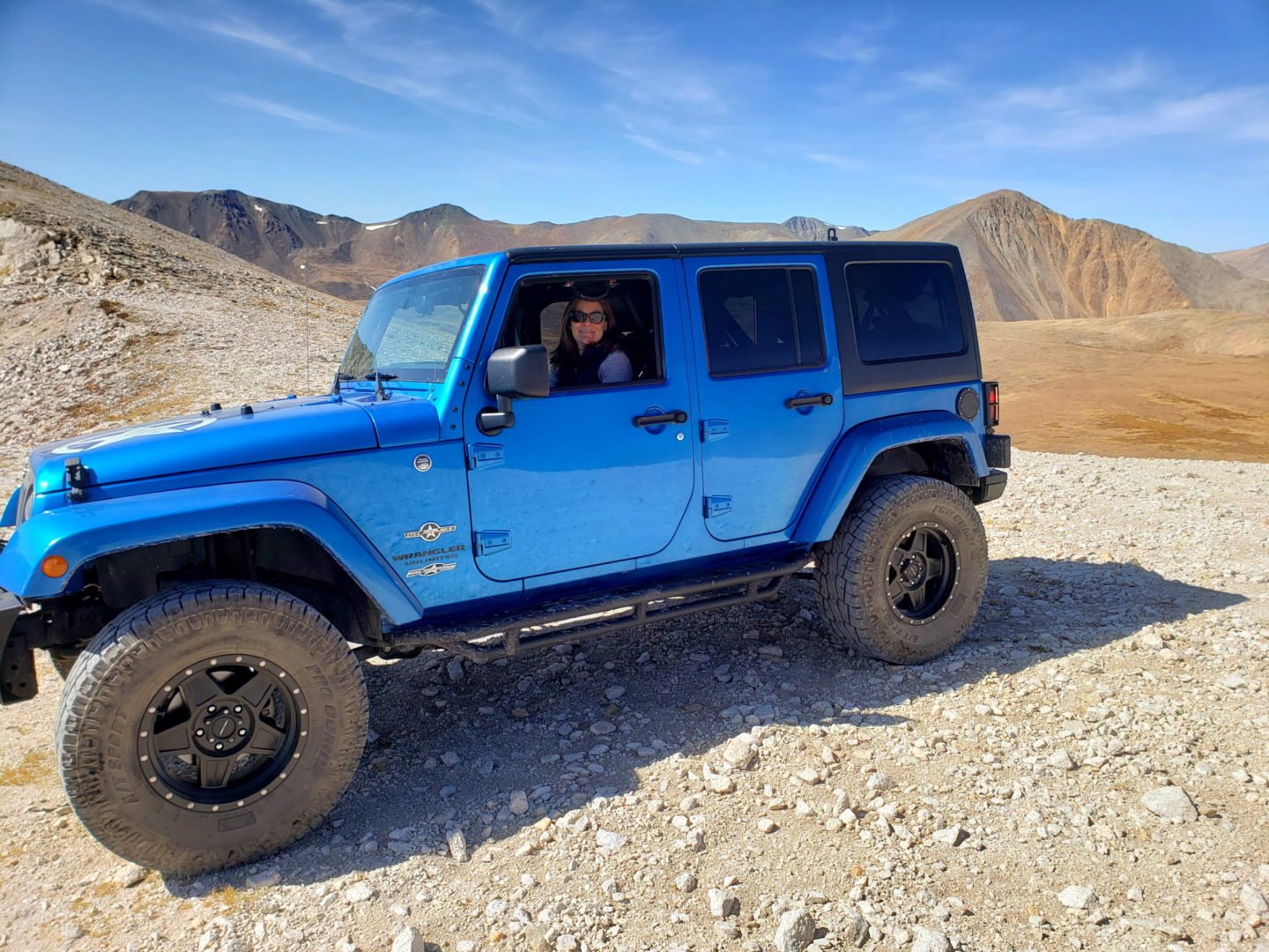
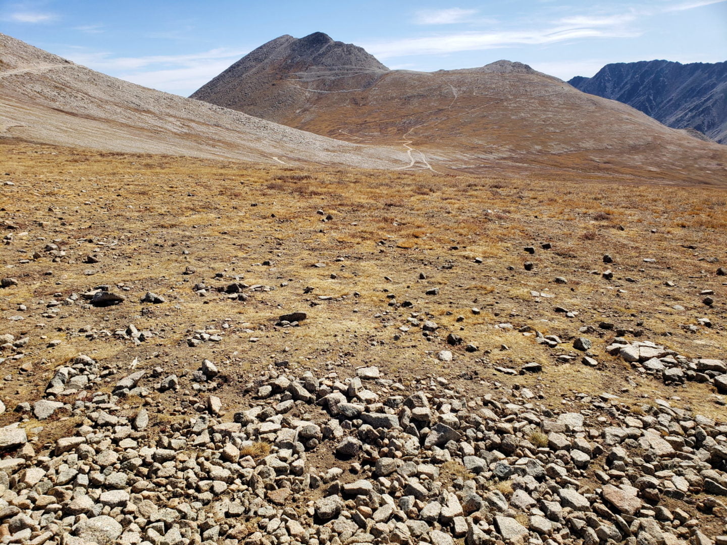
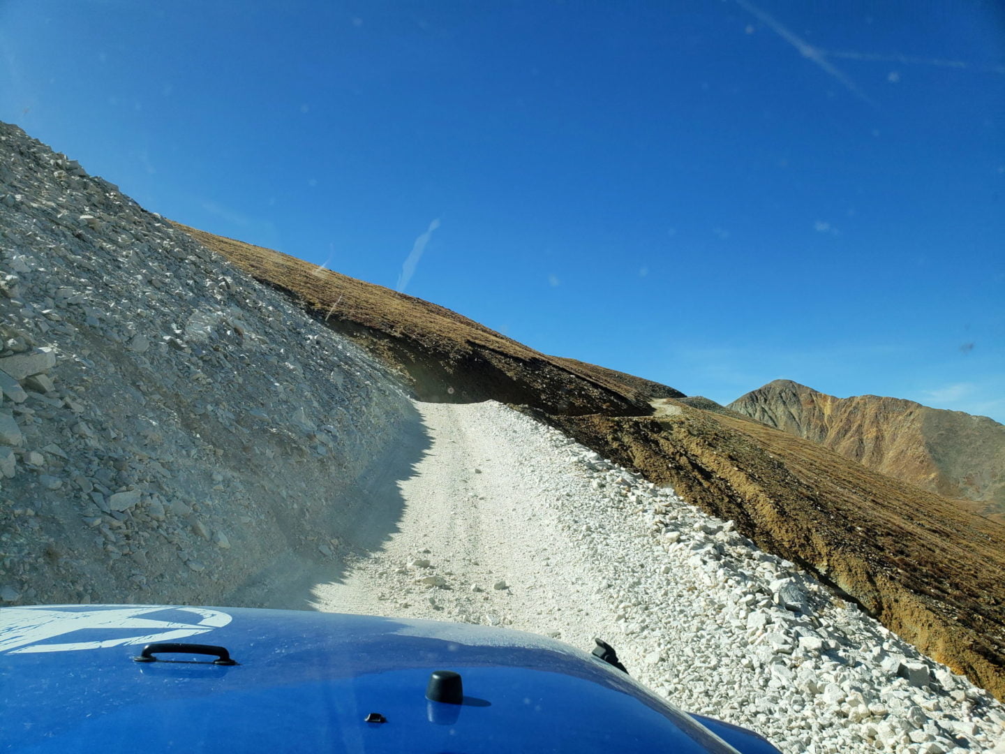
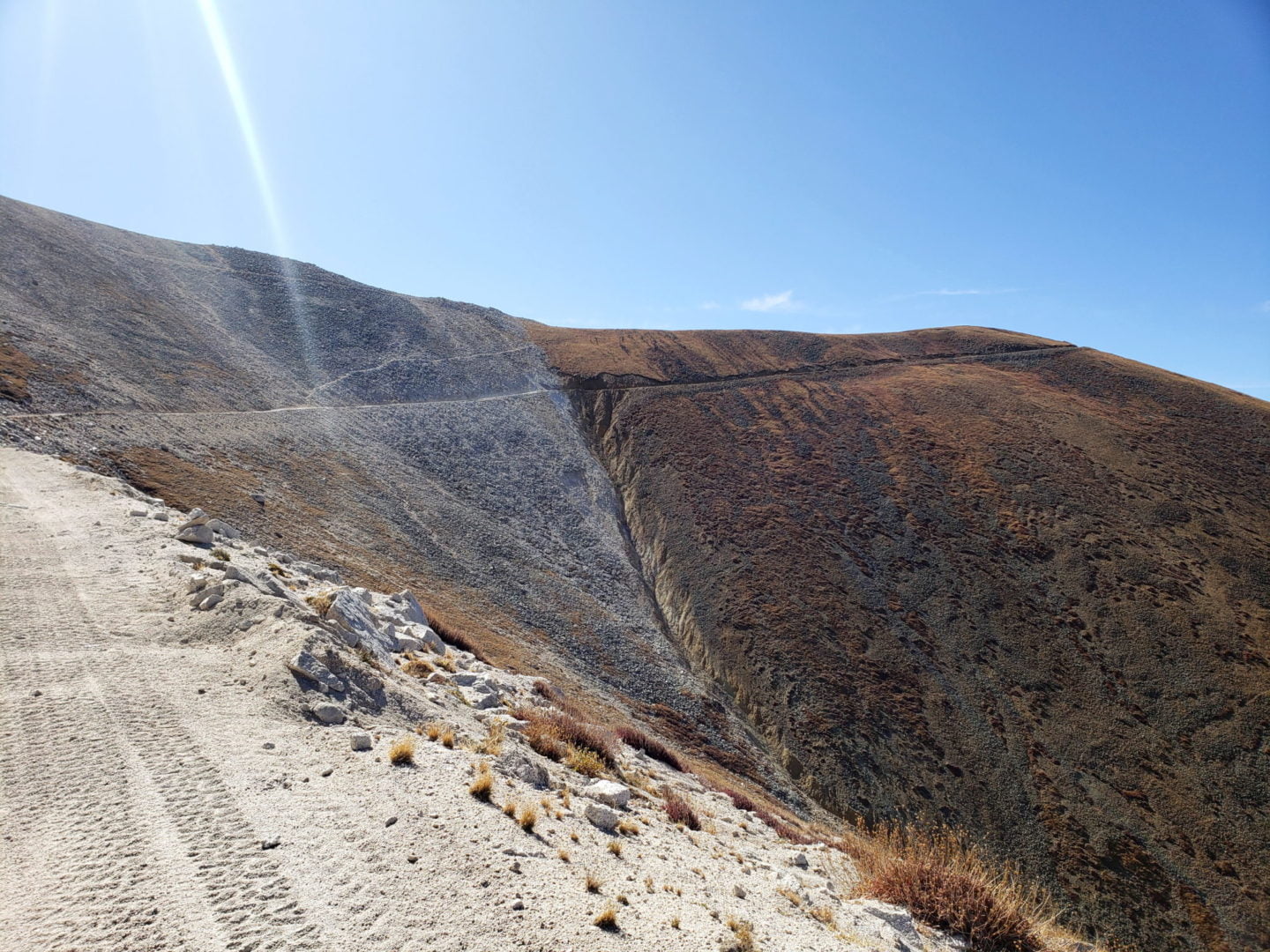
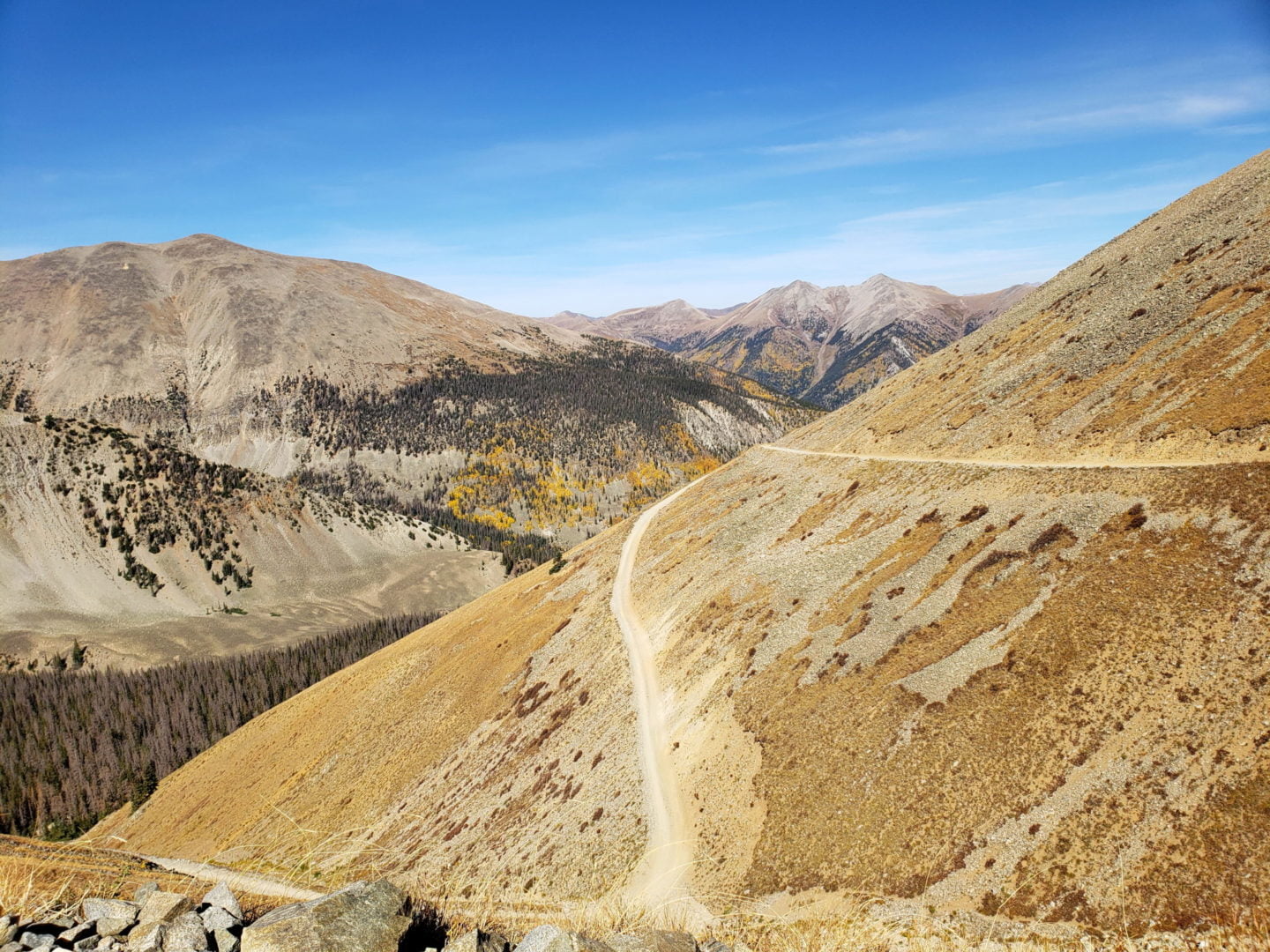
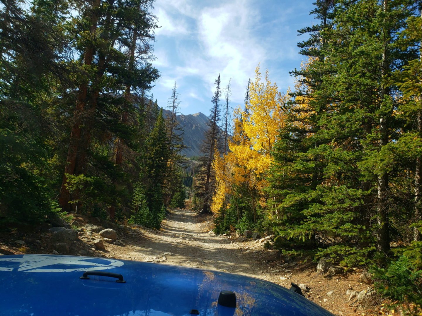
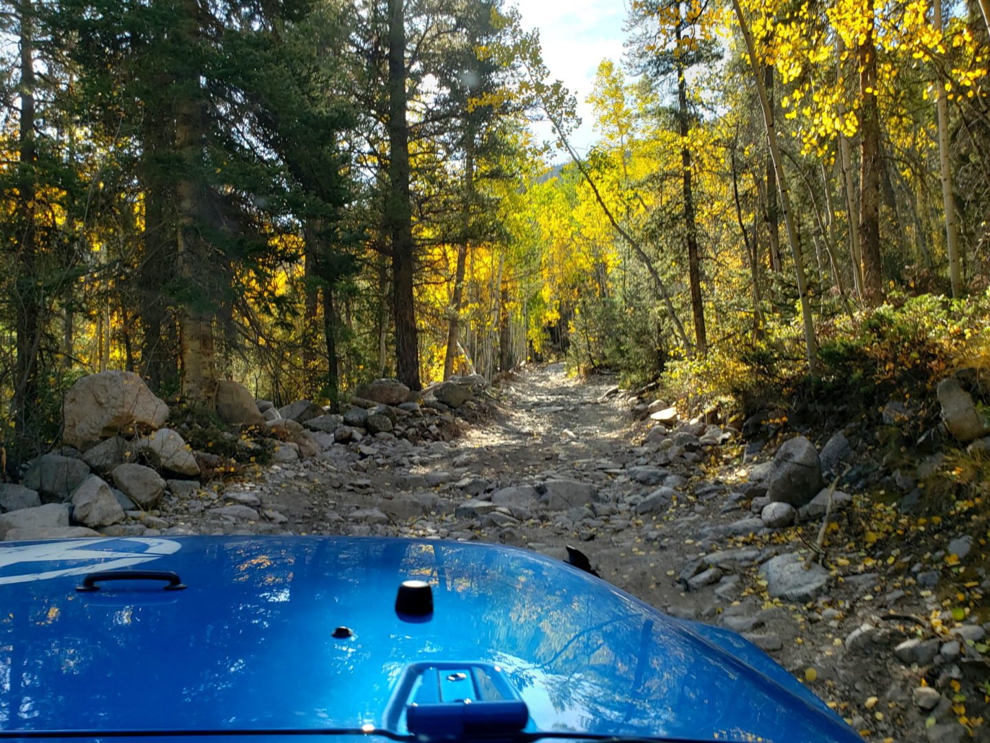
Argentine Pass is the highest named vehicle-accessible pass in Colorado. Vehicle travel is only possible on the Georgetown side of the pass (during the summer months) by a four-wheel drive vehicle with high-clearance. The trail on the Horseshoe Basin side is only accessible by foot or by mountain bike. The pass is also the highest point on the American Discovery Trail, perched on the Continental Divide.
The pass has many great hiking destinations, and provides a ridgeline walk to Gray’s Peak (14,270′), a great alternative to busy Stevens Gulch if you have a 4×4.
Trail Stats
- Trailhead: Guanella Pass Road (County Road 381)
- Round trip: 15.8 miles / 25.4 km (moderate difficulty)
- Elevation: 9,514′- 13′207 / 2,900 m – 4,026 m
- County: Clear Creek
- National Forest: Arapaho
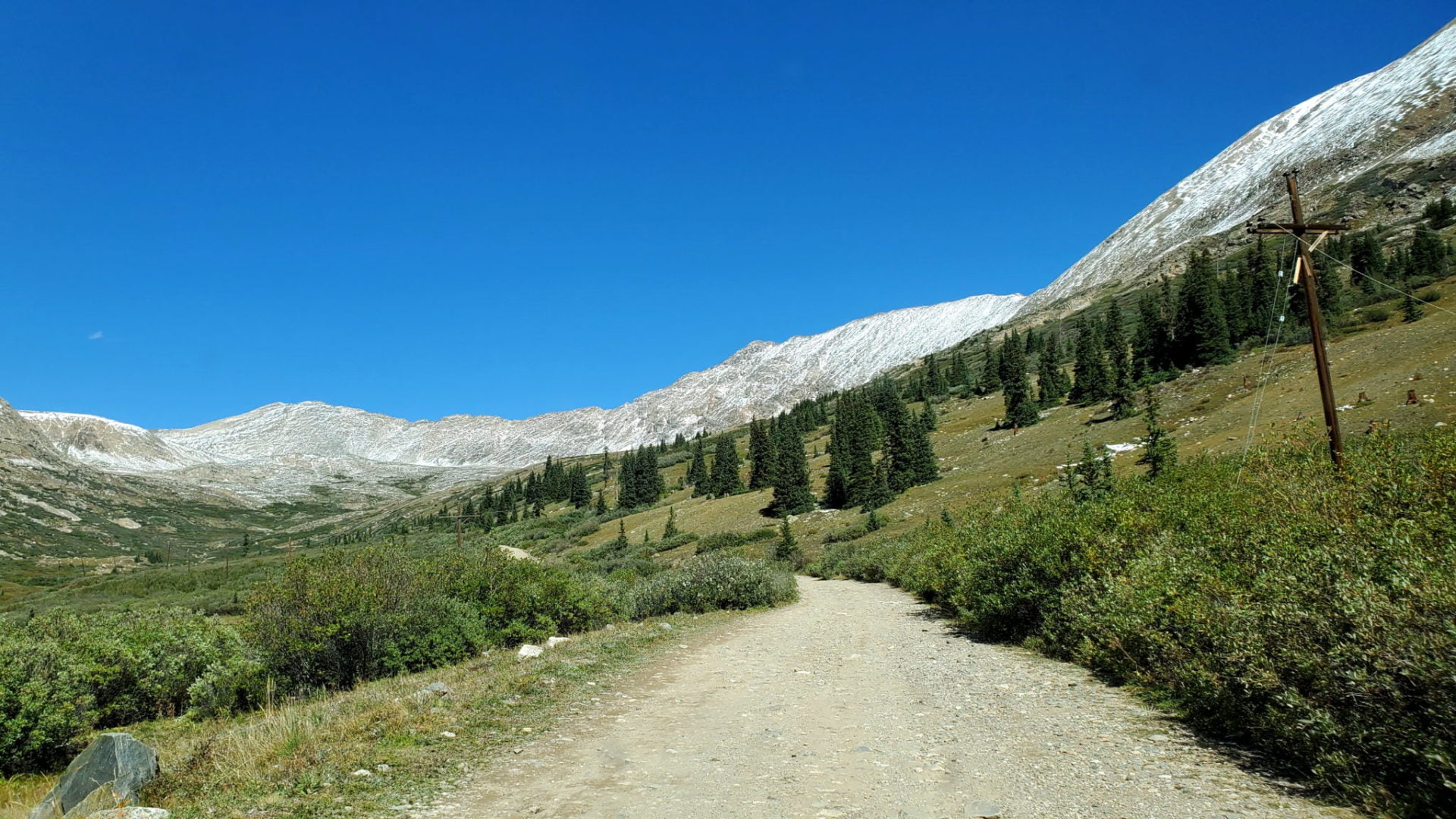
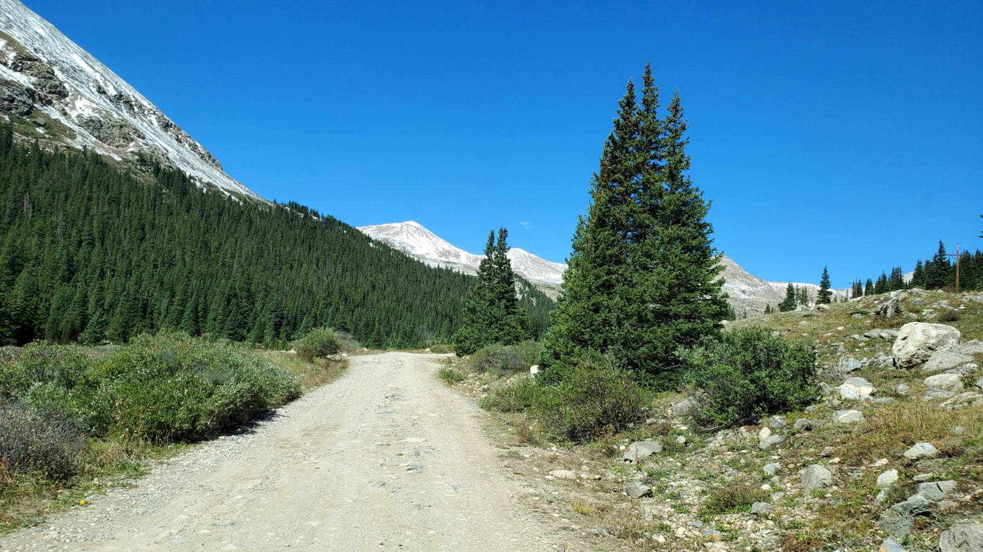
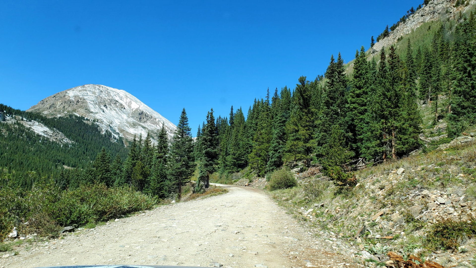
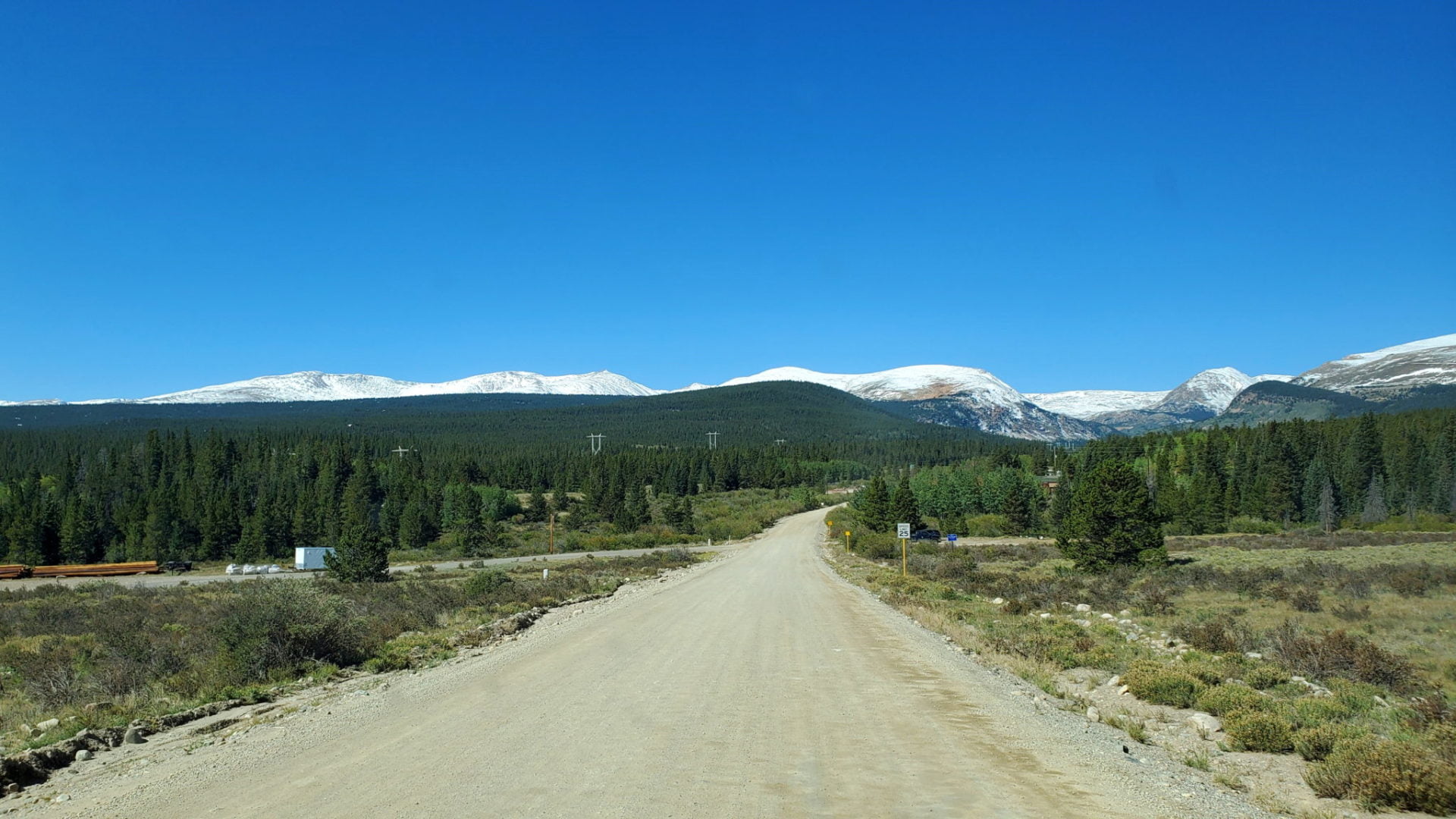
Trail Pictures
Temperatures as low as −59 °F (−50.6 °C) have been recorded on the pass.
Temperatures as low as −59 °F (−50.6 °C) have been recorded on the pass.
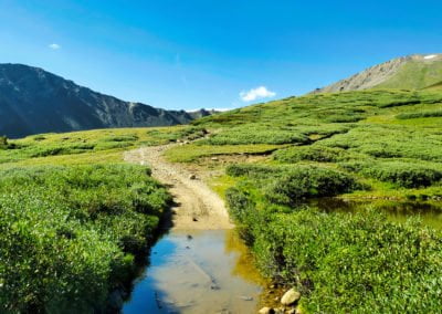
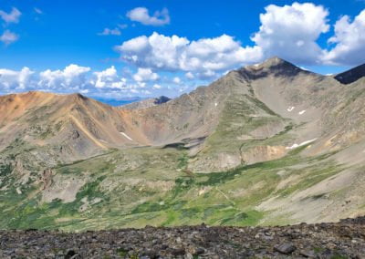
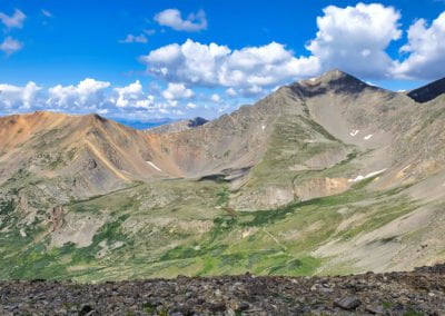
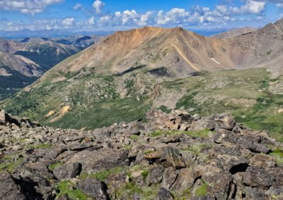
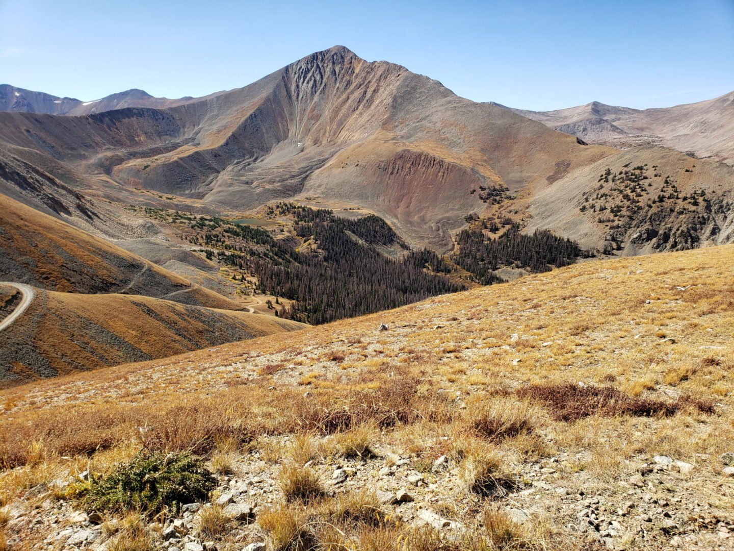
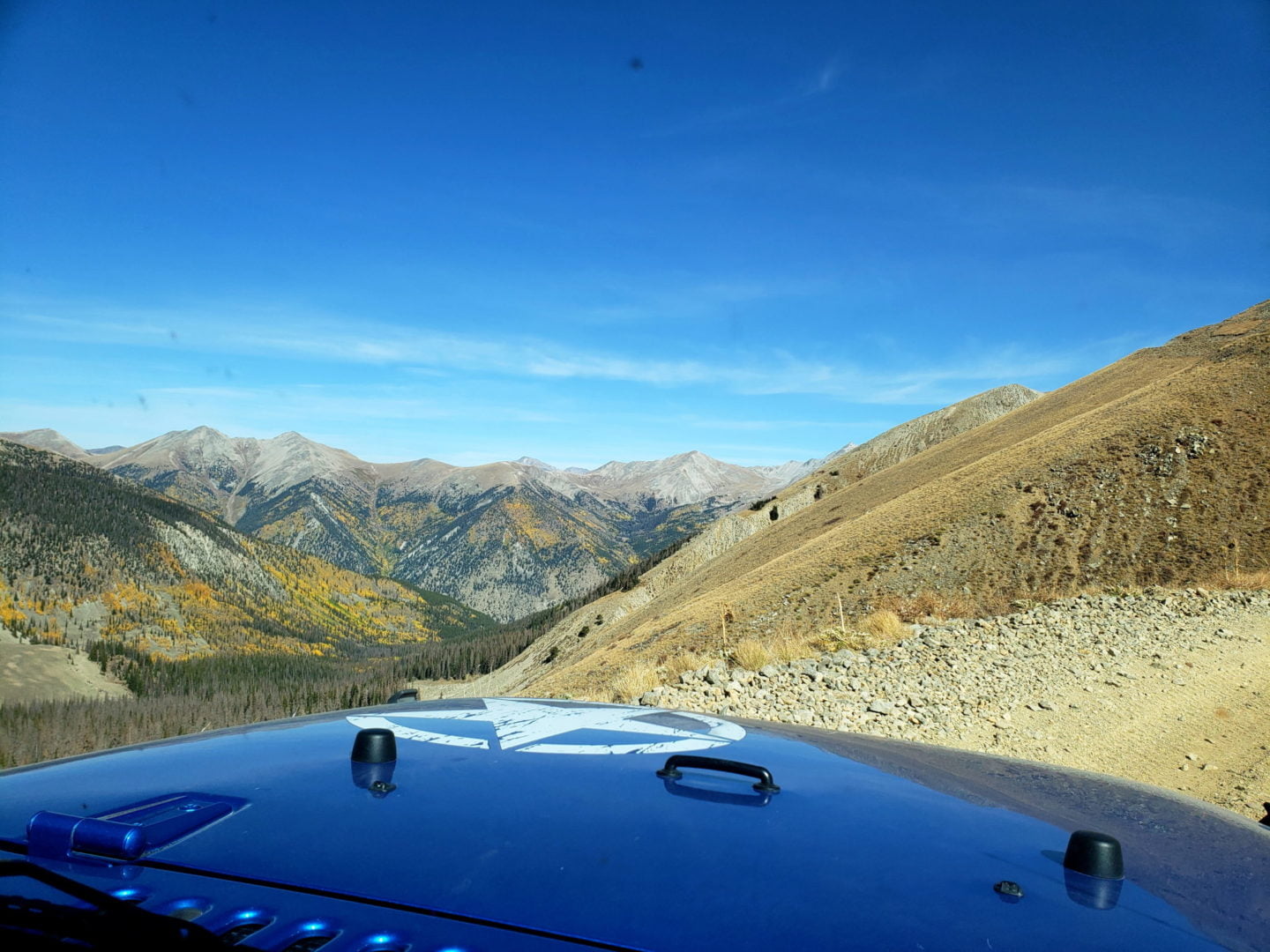
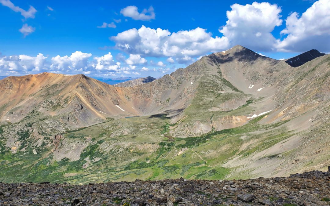
View of Gray’s and Torreys (right) from Argentine Pass
View of Gray’s and Torreys (right) from Argentine Pass
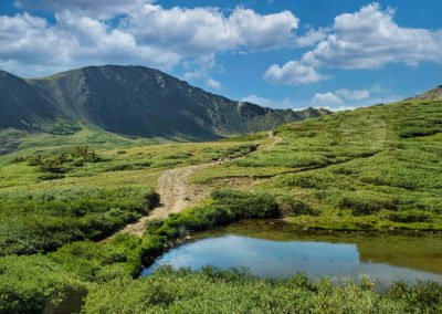
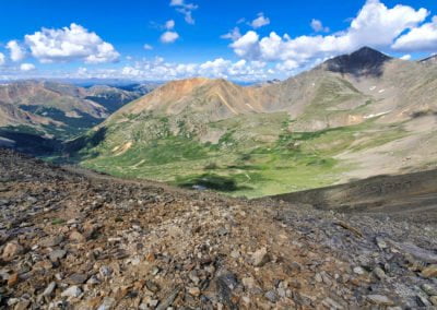
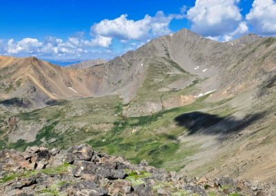
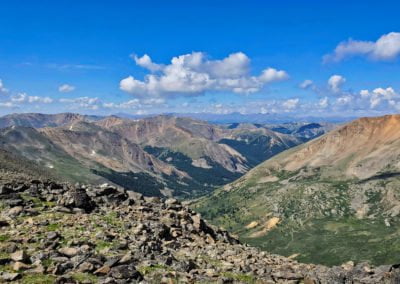
Grays Peak (in the Shade) with Torreys to the right and Ruby Mountain on the left
Grays Peak (in the Shade) with Torreys to the right and Ruby Mountain on the left
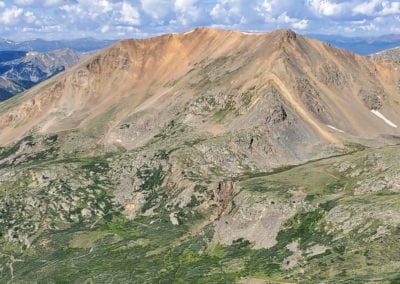
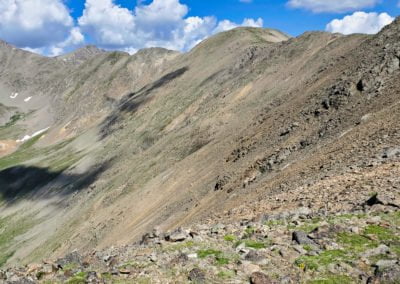
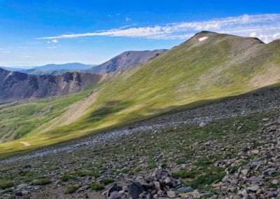
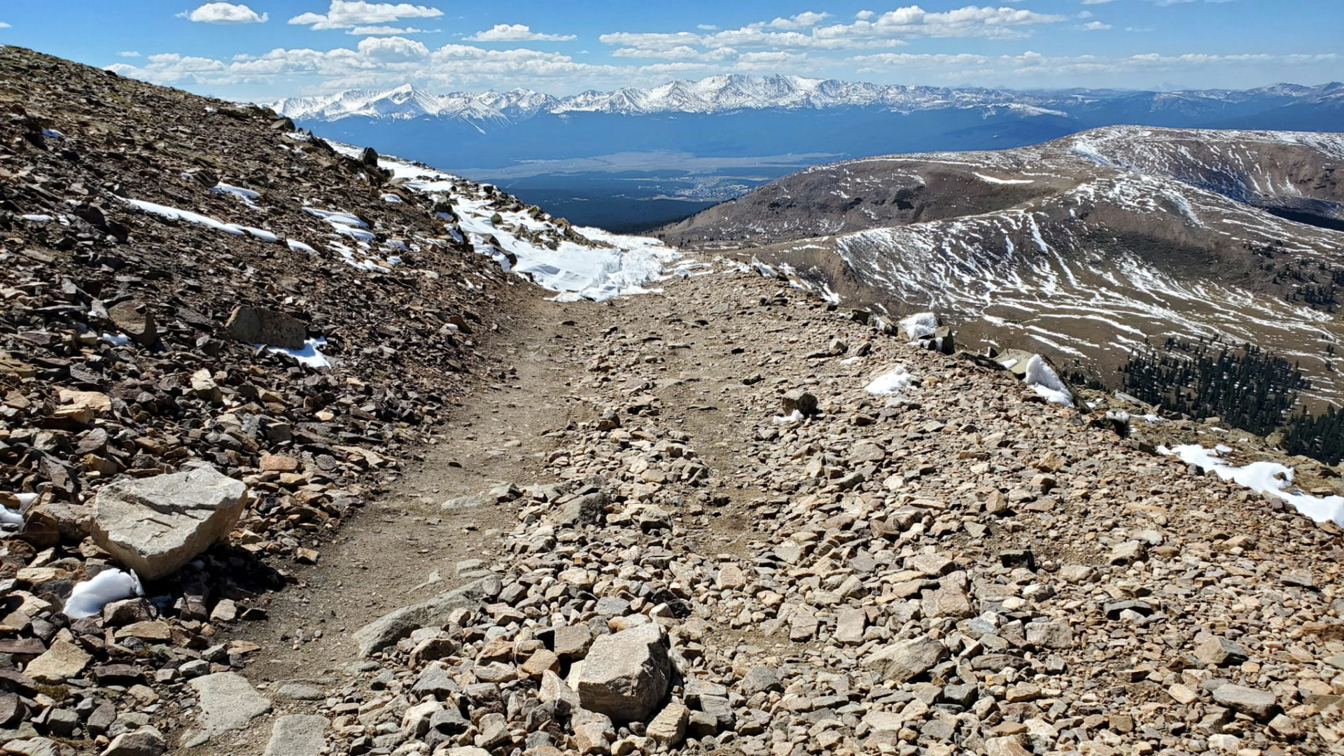
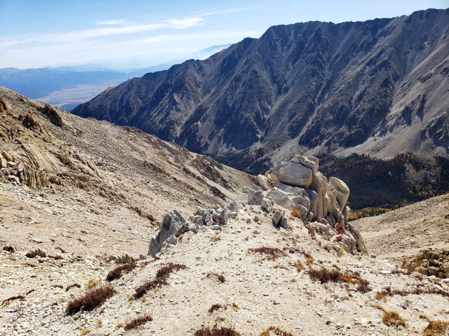
Grays Peak (right of center) is the highest point along the Continental Divide
Grays Peak (right of center) is the highest point along the Continental Divide
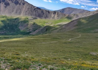
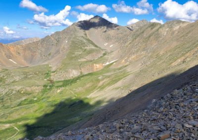
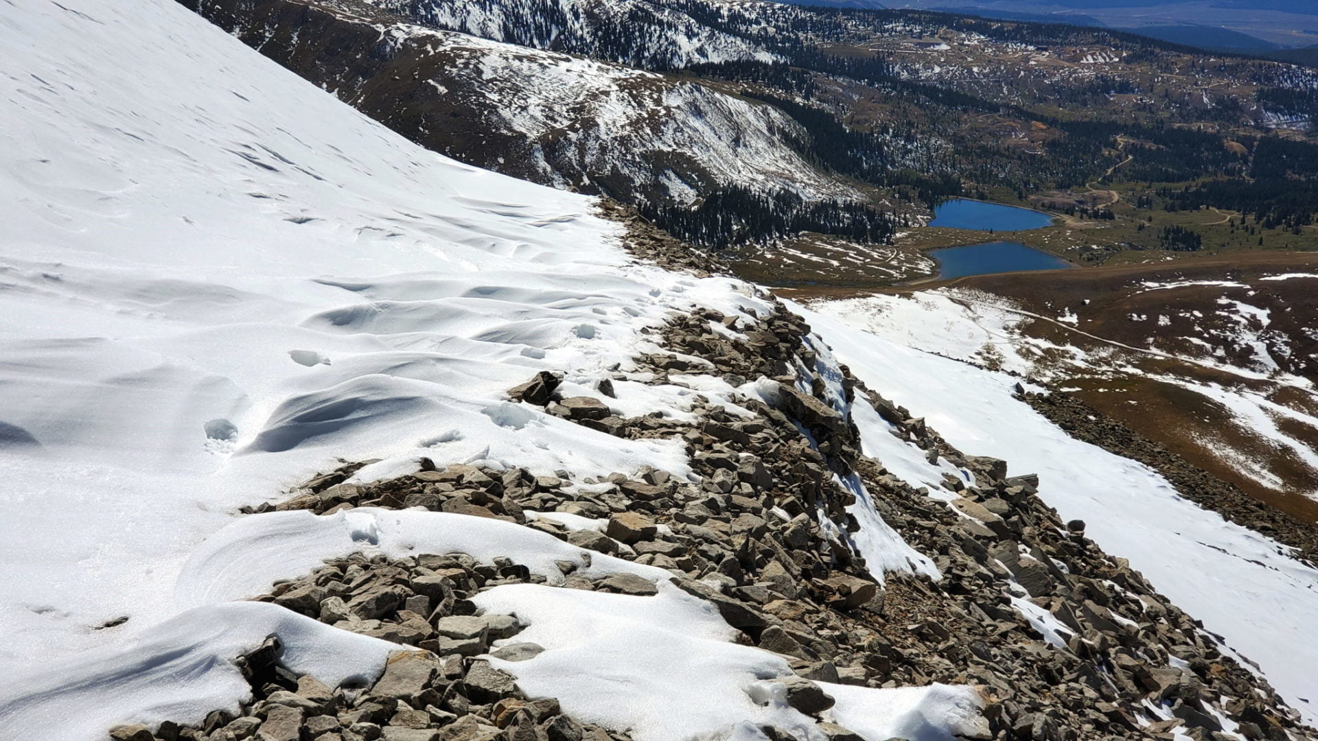
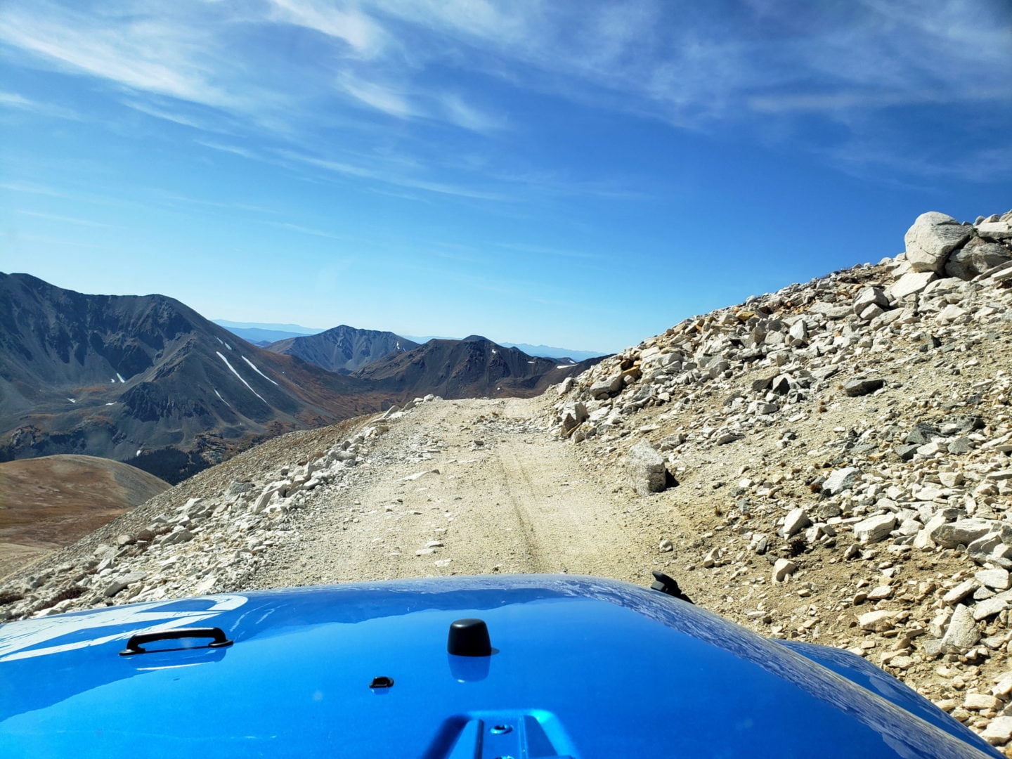
There is no motorized route down the west side of the pass
There is no motorized route down the west side of the pass
The peak wind speed recorded at the pass as of 1912 was 165 miles per hour (266 km/h), at which point the measuring equipment was blown away.
The peak wind speed recorded at the pass as of 1912 was 165 miles per hour (266 km/h), at which point the measuring equipment was blown away.
GPX with Elevation
Video Tour
Trail Directions
Take exit 228 from I-25W, go under the freeway and take a right (west) at the 4 way stop. Follow the signs to Guanella Pass through the historic downtown area of Georgetown.
About 2.5 miles out of Georgetown watch for a small parking lot on the right side of one of the switchbacks. This will begin the road to the pass, FR248.1. As of this writing, there are no signs to the pass, so bring a map.
Trailhead Directions

