Snowshoeing Colorado
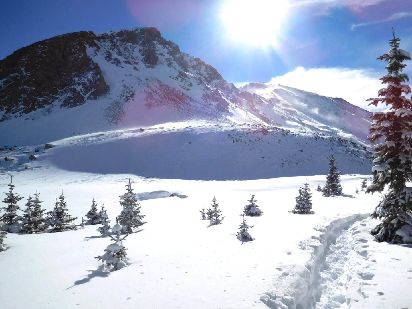
Snowshoeing Colorado provides a list of backcountry accessable trials in the winter months. Winter is great time to explore the back-country. You can sense the calm and quiet , while snoweshoing through a winter wonderland. Many trails can be easier in winter, with snow filling in rough trails and terrain.
One of the most useful items to have for winter, in addition to snowshoes, is a pair of microspikes. Most popular winter trailheads have snow-packed trails that are more suitable for microspikes soon after a snowfall. Walking in microspikes takes much less effort than snowshoes, and allows you to travel faster when the snow is solid.
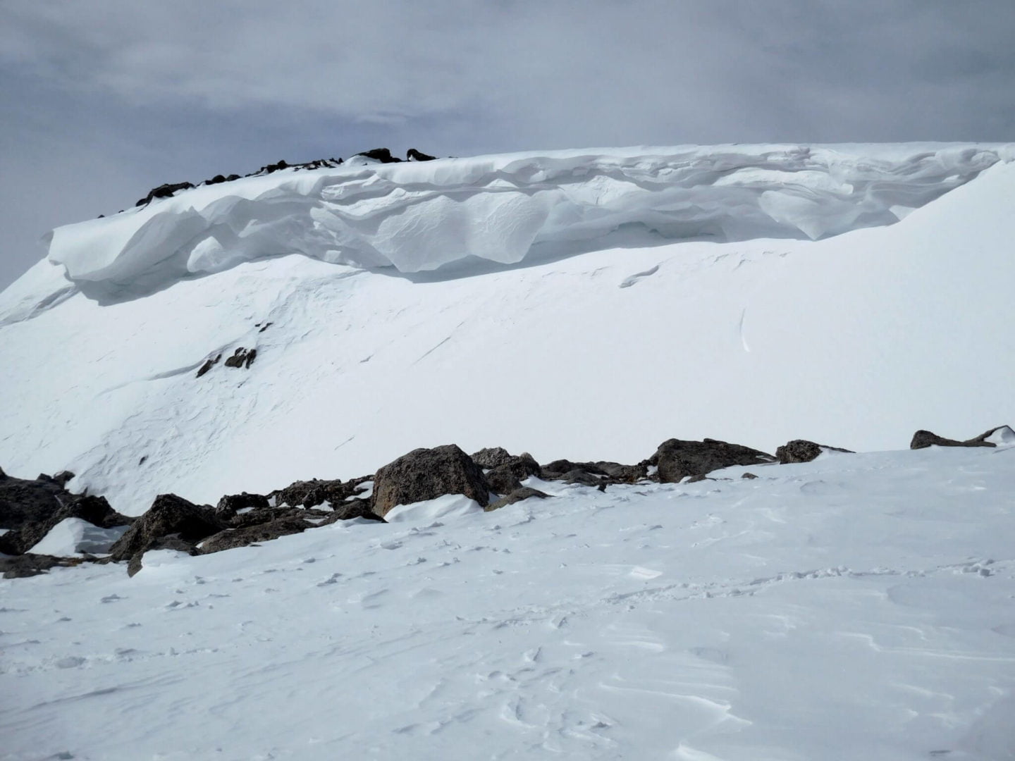
Avalanches are a constant risk in the Winter when snowshoeing Colorado. Be safe and always check conditions on the Colorado Avalance Information Center before heading out.
Trail Reports
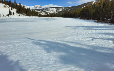
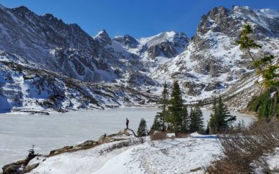
Lost Lake (9,850′), Front Range
Lost Lake is an alpine lake surrounded by the majestic mountains of the Indian Peaks Wilderness. It’s a perfect destination for a day trip. The lake’s crystal-clear waters are a popular spot for fly fishing. Keep an eye out for a glimpse of moose, which are commonly...
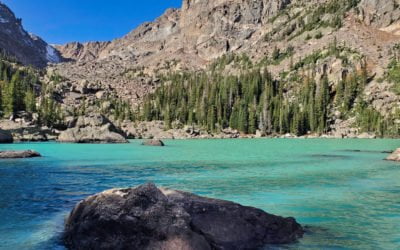
Lake Haiyaha (10,244′), Front Range
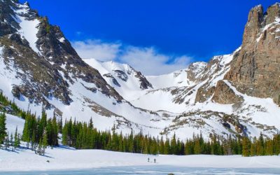
Lake Haiyaha is a secluded, boulder-riddled lake in lower Chaos Canyon. Hallett Peak (12,713') and Otis Peak (12,486') tower over the lake, and are situated on the Continental Divide, making for spectacular scenery. The shores of the lake are home to some of the...
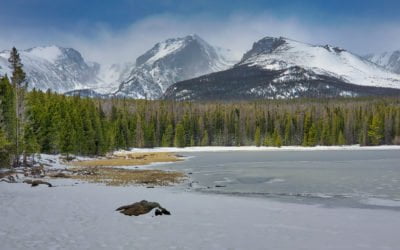
Bierstadt Lake (9,470′), Front Range
Bierstadt Lake sits atop a forested moraine, which is a ridge composed of material left behind thousands of years ago by receding glaciers. The lake was formed when a dam was made from glacial debris deposits. Water from the lake drains into Mill Creek within the Mill...
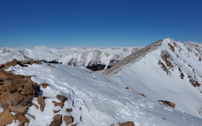
Mt Sniktau (13,234′), Front Range
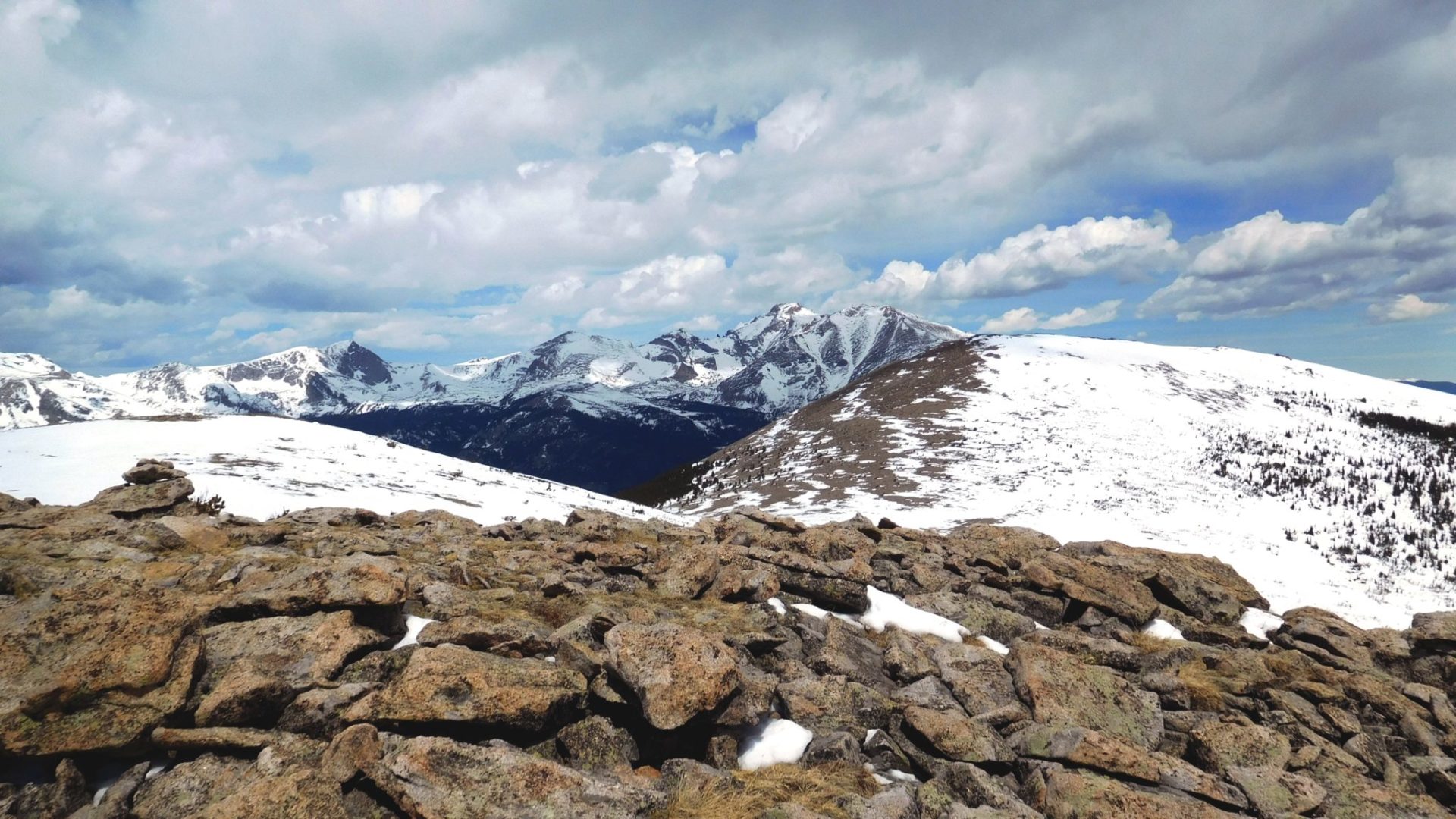
Mount Sniktau sits just east of the Continental Divide on the Front Range of the Rocky Mountains. The summit is located less than a mile south of Interstate 70, and east of the Eisenhower Tunnel. Despite being close to an Interstate and being one of the windiest...
Lake Isabelle (10,910′), Front Range
Lake Isabelle lies hidden in a high, isolated bowl-shaped basin at the top of the South St. Vrain drainage in the Brainard Lake Recreation Area. It lies at tree-line in a stunning alpine valley surrounded by Navajo (13,409'), Apache (13,441') and Shoshoni (12,967')...
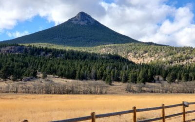
Estes Cone (11,007′), Front Range
Estes Cone is located about 3 miles from the Longs Peak trailhead on the east side of Rocky Mountain National Park. The peak serves as a prominent landmark in the Tahosa Valley to the east. The peak is named for one of the first settlers in Estes Valley, Joel Estes....
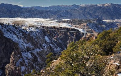
Fremont Peak (7,273′), Royal Gorge
Fremont Peak is the high point along a narrow ridge of hills rising near the eastern edge of the Royal Gorge's north rim. The desert peak is part of a very small sub-range of mountains called the Gorge Hills. These peaks are relatively low and are covered in desert...
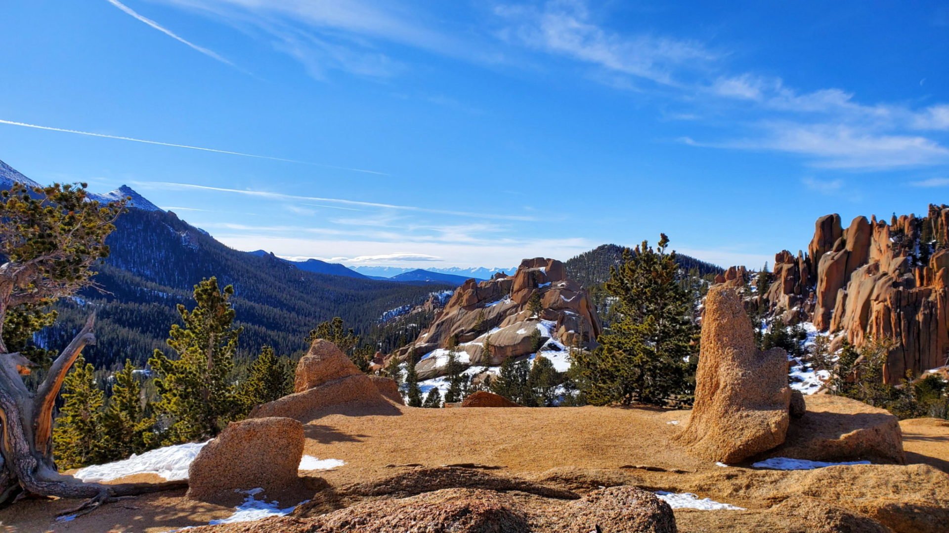
The Crags (10,856′), Front Range
The Crags Trail #664 follows Four Mile Creek through deep forests and lush meadows, ending at a rocky dome with unobstructed views in all directions. At the summit of the windswept dome there are views of the Rampart Range, Pikes Peak Mastif, Catamount Reservoirs, and...
Lake Helene (10,630′), Front Range
There is no signage and you must follow a social trail to get to the lake, but despite it's obscurity, Lake Helene is a spectacular destination inside Rocky Mountain National Park. The lake is situated at treeline, between Flattop Mountain (12,324') and Notchtop...
Mills Lake (9,965′) & Jewel Lake (9,990′), Front Range
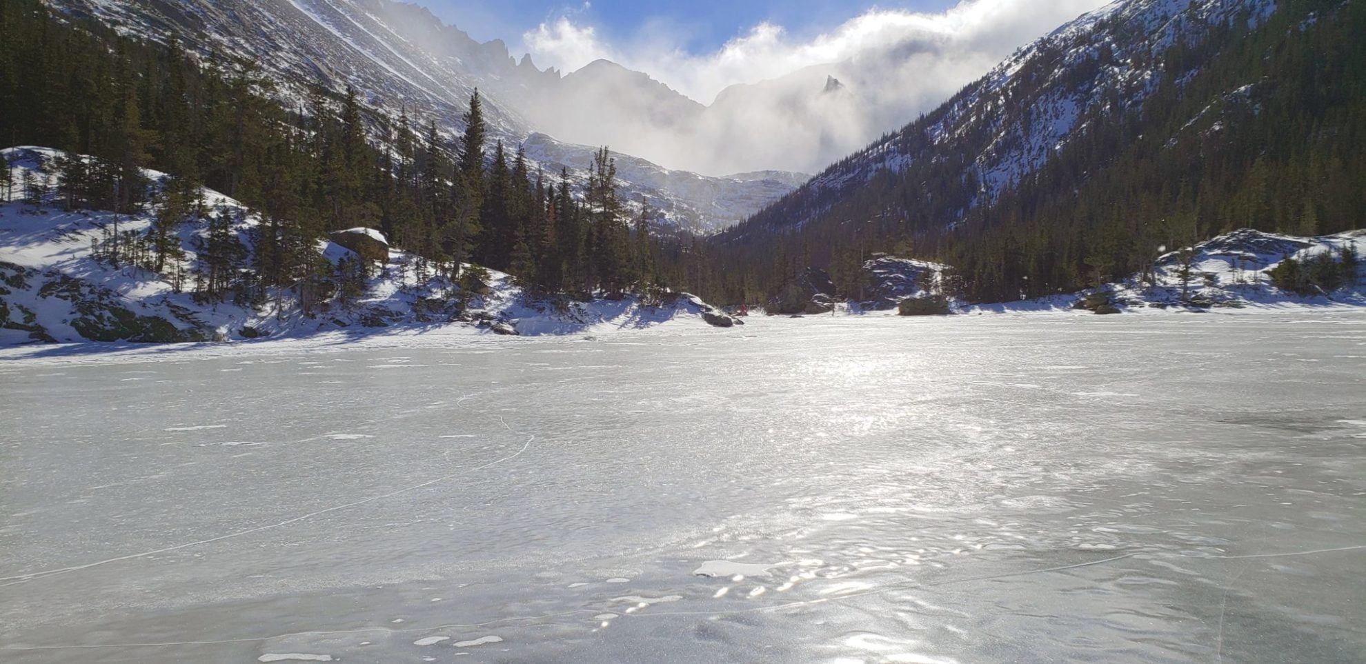
Located within Glacier Gorge in Rocky Mountain National Park, Mills and Jewel Lake provide dramatic views of the surrounding peaks. The Longs peak area is prominently visible from the valley. The summer route initially takes you to Alberta Falls, another popular...
St Vrain Mountain Trail (12,162′), Front Range
The St Vrain Mountain trail is located just outside the border of the Indian Peaks Wilderness Area to the south, and Rocky Mountain National Park to the north. The trail climbs steeply heading west, just east of the Continental Divide, with views across the Middle St...
Flattop Mountain (12,332′), Front Range
Flattop Mountain is located just east of the Continental Divide in Rocky Mountain National Park. The trail was built in 1925, and rehabilitated in 1940 with Civilian Conservation Corps labor. Today it is listed on the National Register of Historic Places. The scenic...
La Plata Peak (14,344′), Sawatch Range
La Plata Peak, in the middle of the Sawatch Range, is known for it's distinctive Ellingwood Ridge, popular among climbers. The Northwest Ridge trail starts from Highway 82 and follows the northern ridge that divides the La Plata basin from La Plata Gulch. There are...
Nymph (9,705′), Dream (9,905′), and Emerald Lake (10,110′), Front Range
Nymph, Dream, and Emerald Lake are located inside Rocky Mountain National Park, west of Estes Park. From the popular Bear Lake Trailhead, the trail passes Nymph and Dream Lake on the way to Emerald Lake. There are prominent views along the way of Longs Peak, Glacier...
Quandary Peak (14,272′), Ten Mile Range
Quandary Peak is the only 14,000' peak in the Ten Mile Range. The summit provides great views of other nearby peaks such as Northstar Mountain, Mt. Lincoln, Mt. Cameron, Mt. Democrat, and Mt Bross to the south. To the north you see Pacific and Crystal Peak, as well as...

